|
Your search criteria found 2596 images Target is Earth (and available satellites) |
| My List |
Addition Date
|
Target | Mission | Instrument | Size |

|
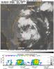
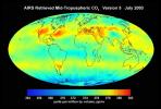
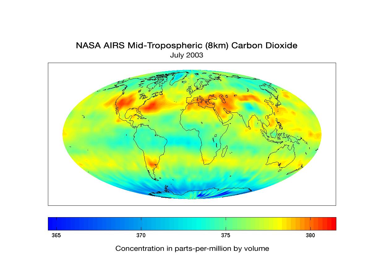
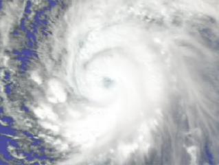
2006-08-29 | Earth |
Aqua |
AIRS |
900x695x3 |
|
|||||
|
|
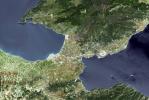
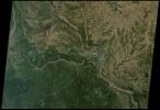
2006-09-01 | Earth |
Terra |
ASTER |
2176x3416x3 |
|
|||||
|
|
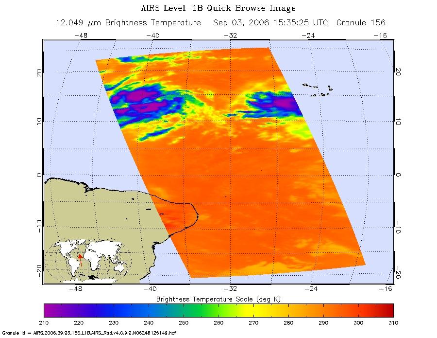
2006-09-03 | Earth |
Aqua |
AIRS |
900x695x3 |
|
|||||
|
|
2006-09-06 | Earth |
Terra |
MISR |
3882x1486x3 |
|
|||||
|
|
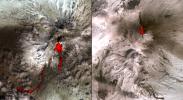
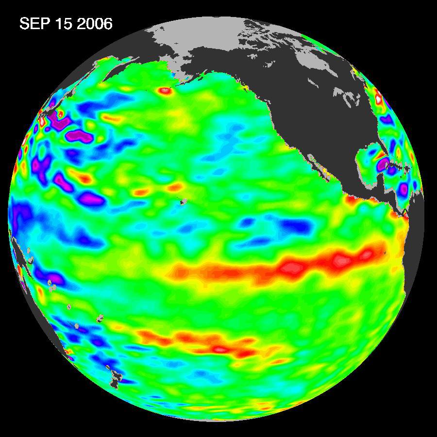
2006-09-15 | Earth |
Terra |
ASTER |
2514x1686x3 |
|
|||||
|
|
2006-09-19 | Earth |
Cassini-Huygens |
ISS - Wide Angle |
243x226x1 |
|
|||||
|
|
2006-09-30 | Earth |
Terra |
ASTER |
2066x1499x3 |

|
|||||
|
|
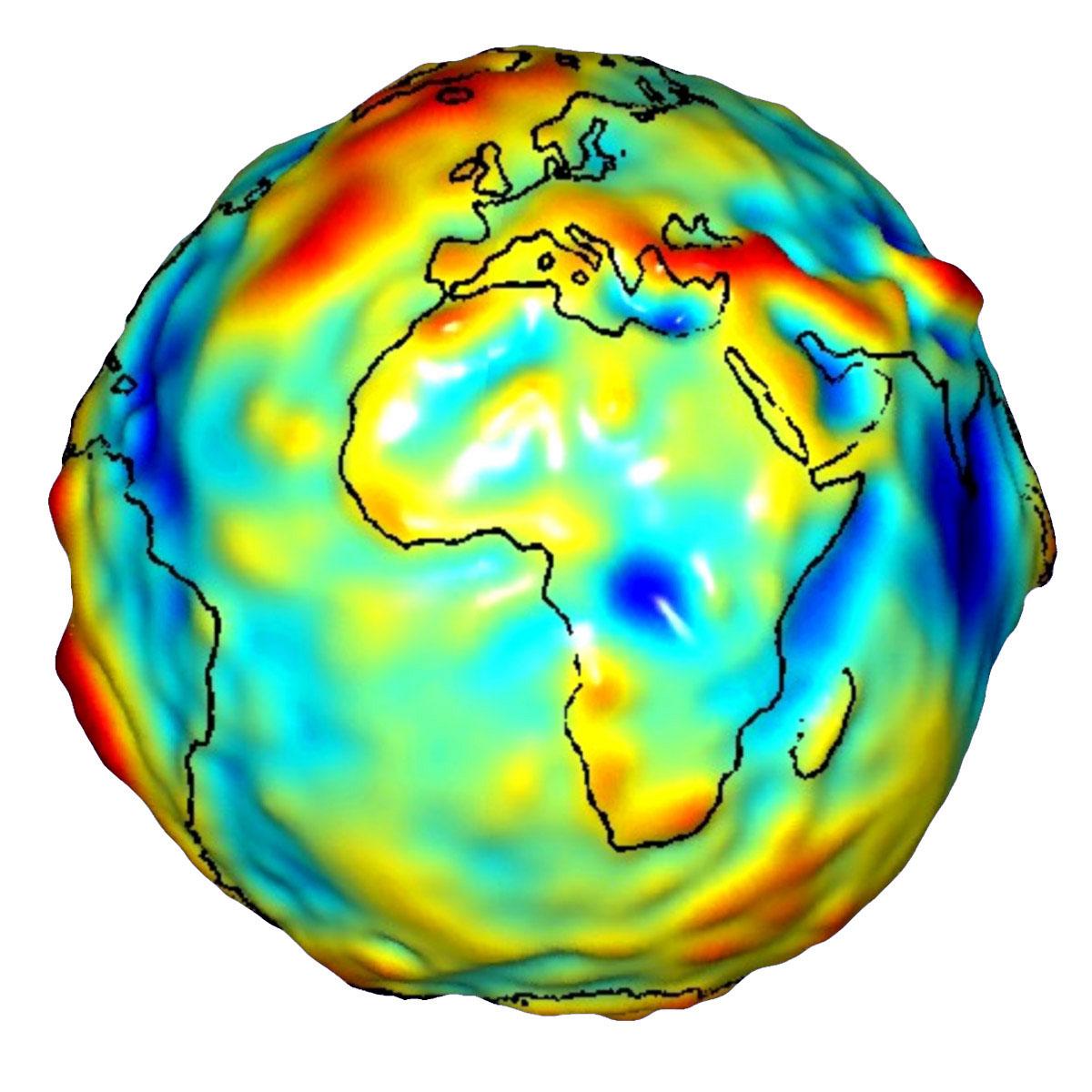
2006-10-10 | Earth |
Jason-1 |
Altimeter |
900x900x3 |
|
|||||
|
|
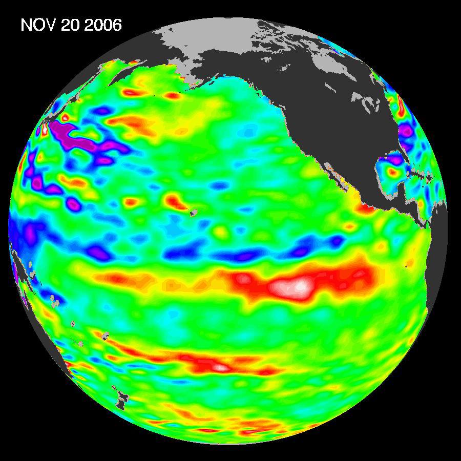
2006-11-08 | Earth |
Terra |
ASTER |
1794x1425x3 |
|
|||||
|
|
2006-11-09 | Earth |
Terra |
ASTER |
1362x2011x3 |
|
|||||
|
|
2006-12-07 | Earth |
Jason-1 |
Altimeter |
900x900x3 |
|
|||||
|
|
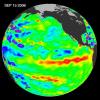
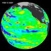
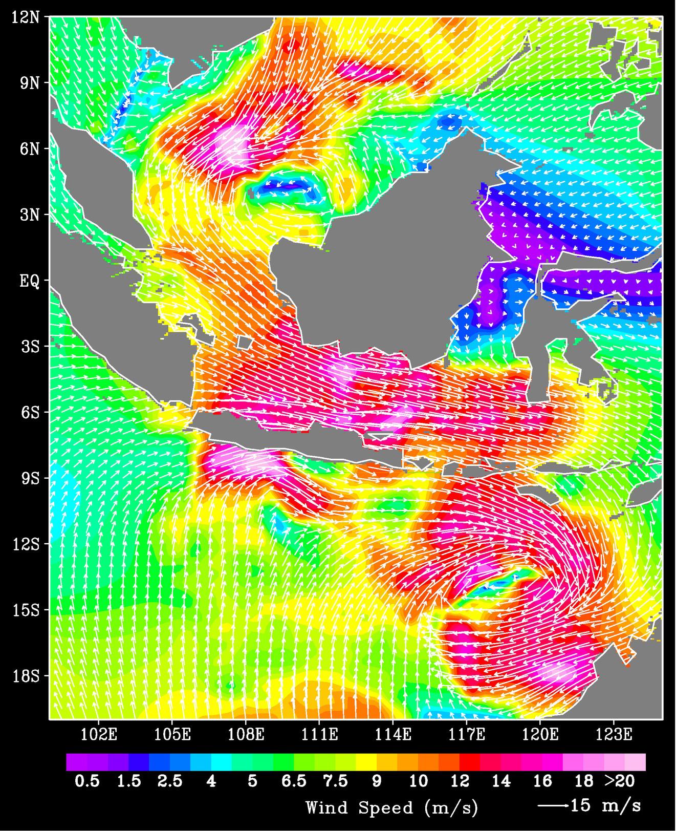
2007-01-09 | Earth |
QuikScat |
SeaWinds Scatterometer |
1321x1623x3 |
|
|||||
|
|
2007-01-19 | Earth |
Aqua |
AIRS |
504x360x3 |
|
|||||
|
|
2007-03-02 | Earth |
Jason-1 |
Altimeter |
900x900x3 |
|
|||||
|
|
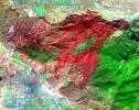
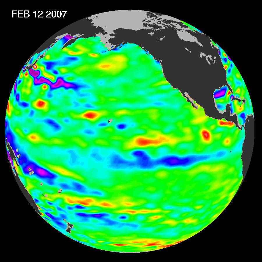
2007-04-30 | Earth |
Terra |
ASTER |
2560x1400x3 |
|
|||||
|
|
2007-05-04 | Earth |
Terra |
MISR |
1217x835x3 |
|
|||||
|
|
2007-05-10 | Earth |
CloudSat |
Cloud Profiling Radar (CPR) Moderate Resolution Imaging Spectroradiometer (MODIS) |
864x1108x3 |
|
|||||
|
|
2007-05-16 | Earth |
Aqua |
AIRS |
720x486x3 |
|
|||||
|
|
2007-05-18 | Earth |
Aqua |
AIRS |
1200x900x3 |

|
|||||
|
|
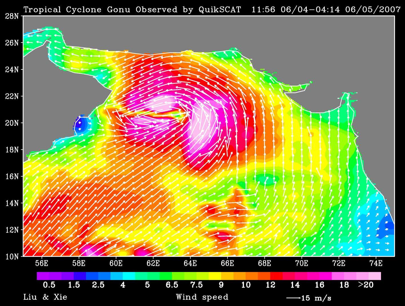
2007-06-06 | Earth |
QuikScat |
SeaWinds Scatterometer |
1418x1071x3 |
|
|||||
|
|
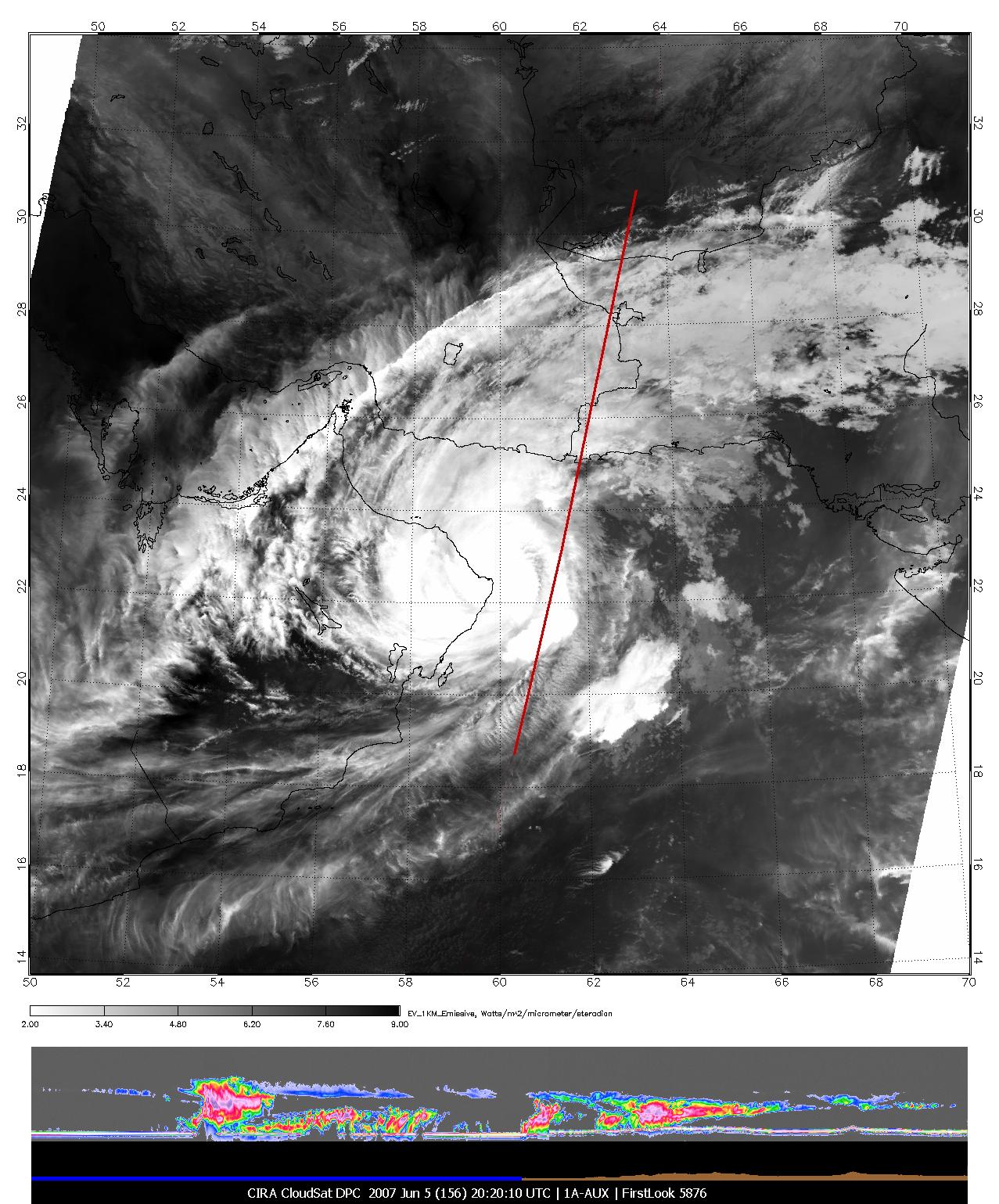
2007-06-07 | Earth |
CloudSat |
Cloud Profiling Radar (CPR) Moderate Resolution Imaging Spectroradiometer (MODIS) |
1277x1539x3 |
|
|||||
|
|
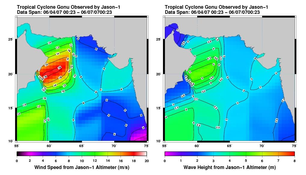
2007-06-08 | Earth |
Jason-1 |
Altimeter |
1018x583x3 |
|
|||||
|
|
2007-06-12 | Earth |
Terra |
ASTER |
1000x400x3 |
|
|||||
|
|
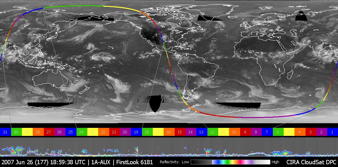
2007-06-28 | Earth |
CloudSat |
Cloud Profiling Radar (CPR) |
1095x542x3 |
|
|||||
|
|
2007-06-28 | Earth |
Terra |
ASTER |
1000x1000x3 |
|
|||||
|
|
2007-07-03 | Earth |
Terra |
ASTER |
1200x800x3 |
|
|||||
|
|
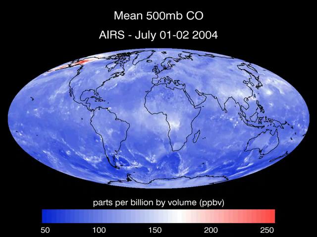
2007-07-24 | Earth |
Aqua |
AIRS |
2500x1875x3 |
|
|||||
|
|
2007-07-24 | Earth |
Aqua |
AIRS |
1980x1524x3 |
|
|||||
|
|
2007-07-24 | Earth |
Aqua |
AIRS |
2931x2223x3 |
|
|||||
|
|
2007-07-24 | Earth |
Aqua |
AIRS |
2102x1276x3 |
|
|||||
|
|
2007-07-24 | Earth |
Aqua |
AIRS |
6444x5172x3 |
|
|||||
|
|
2007-08-07 | Earth |
Terra |
ASTER |
754x769x3 |

|
|||||
|
|
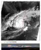
2007-08-15 | Earth |
Aqua |
AIRS |
1000x1000x3 |
|
|||||
|
|
2007-08-15 | Earth |
Aqua |
AIRS |
1000x1000x3 |
|
|||||
|
|
2007-08-18 | Earth |
Aqua |
AIRS |
1000x1000x3 |
|
|||||
|
|
2007-08-24 | Earth |
Terra |
ASTER |
1600x3000x3 |
|
|||||
|
|
2007-08-31 | Earth |
Terra |
ASTER |
369x518x3 |

|
|||||
|
|
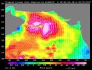
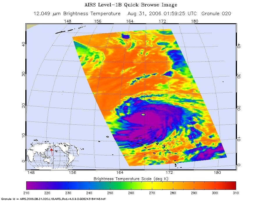
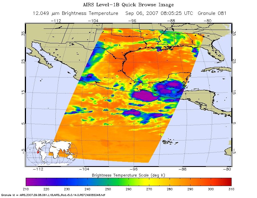
2007-09-03 | Earth |
Aqua |
AIRS |
900x695x3 |
|
|||||
|
|
2007-09-04 | Earth |
Terra |
ASTER |
752x846x3 |

|
|||||
|
|
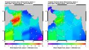
2007-09-07 | Earth |
QuikScat |
SeaWinds Scatterometer |
1820x1560x3 |
|
|||||
|
|
2007-09-11 | Earth |
Aqua |
AIRS |
1280x720x3 |
|
|||||
|
|
2007-09-14 | Earth |
Terra |
ASTER |
3066x3186x3 |
|
|||||
|
|
2007-09-20 | Earth |
Terra |
ASTER |
2000x1600x3 |
|
|||||
|
|
2007-10-02 | Earth |
Terra |
ASTER |
1605x2700x3 |
|
|||||
|
|
2007-10-12 | Earth |
Terra |
ASTER |
3718x7302x3 |
|
|||||
|
|
2007-10-23 | Earth |
Aqua |
AIRS |
1000x1000x3 |
|
|||||
|
|
2007-10-23 | Earth |
QuikScat |
SeaWinds Scatterometer |
800x875x3 |

|
|||||
|
|
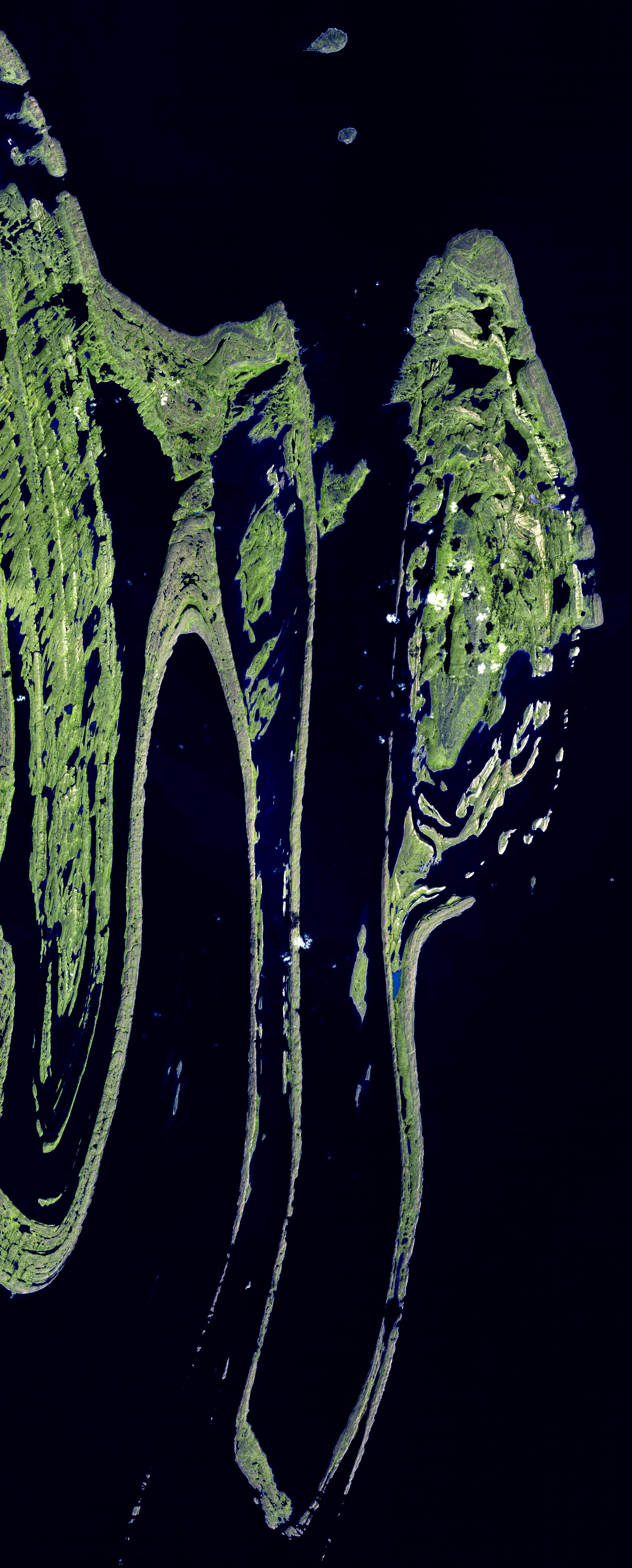
2007-10-24 | Earth |
Terra |
MISR |
4432x2880x3 |
|
|||||
|
|
2007-10-25 | Earth |
Terra |
ASTER |
1403x1127x3 |
|
|||||
|
|
2007-11-07 | Earth |
Jason-1 |
Altimeter |
900x900x3 |
|
|||||
|
|
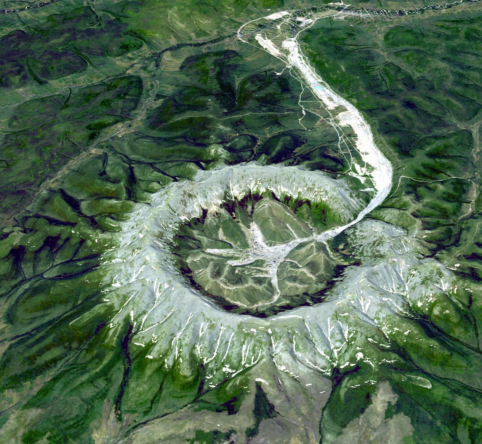
2007-11-08 | Earth |
Terra |
ASTER |
3000x5002x3 |
|
|||||
|
|
2007-11-13 | Earth |
Terra |
ASTER |
3804x3450x3 |
|
|||||
|
|
2007-11-26 | Earth |
Terra |
ASTER |
3000x1700x3 |
|
|||||
|
|
2007-12-11 | Earth |
Terra |
ASTER |
3792x3796x3 |
|
|||||
|
|
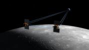
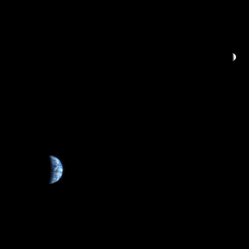
2007-12-11 | Moon |
GRAIL |
1778x1000x3 | |
|
|||||
|
|
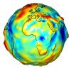
2007-12-11 | Earth |
GRACE |
K-Band Ranging System |
1200x1200x3 |
|
|||||
|
|
2008-01-17 | Earth |
Terra |
ASTER |
2319x2037x3 |
|
|||||
|
|
2008-01-30 | Earth |
Terra |
ASTER |
3047x7555x3 |
|
|
|||||
|
|
2008-02-07 | Earth |
Terra |
ASTER |
626x464x3 |
|
|||||
|
|
2008-02-08 | Earth |
CloudSat |
Cloud Profiling Radar (CPR) |
682x850x3 |
|
|||||
|
|
2008-02-19 | Earth |
Terra |
ASTER |
1607x1480x3 |
|
|||||
|
|
2008-02-29 | Earth |
Terra |
ASTER |
1666x1772x3 |
|
|||||
|
|
2008-03-03 | Earth |
Mars Reconnaissance Orbiter (MRO) |
HiRISE |
800x800x3 |

|
|||||
|
|
2008-03-10 | Earth |
Terra |
ASTER |
1596x1509x3 |

|
|||||
|
|
2008-03-12 | Earth |
Aqua |
AIRS |
4196x2747x3 |
|
|||||
|
|
2008-03-17 | Earth |
Aqua |
AIRS |
1428x1836x3 |
|
|||||
|
|
2008-03-21 | Earth |
Terra |
ASTER |
2505x2463x3 |
|
|||||
|
|
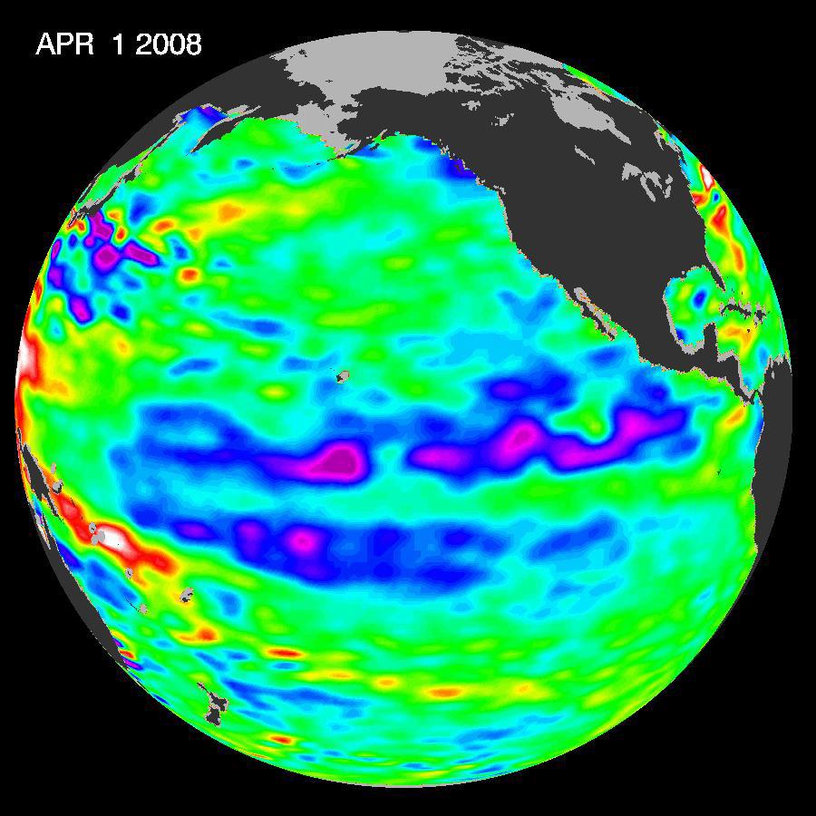
2008-04-01 | Earth |
Terra |
ASTER |
2536x2104x3 |
|
|||||
|
|
2008-04-04 | Earth |
Terra |
ASTER |
393x416x3 |

|
|||||
|
|
2008-04-08 | Earth |
Terra |
ASTER |
1250x1091x3 |
|
|||||
|
|
2008-04-21 | Earth |
Terra |
ASTER |
1832x3276x3 |
|
|||||
|
|
2008-04-22 | Earth |
Jason-1 |
Altimeter |
900x900x3 |
|
|||||
|
|
2008-04-30 | Earth |
Terra |
ASTER |
900x720x3 |
|
|||||
|
|
2008-05-09 | Earth |
Terra |
ASTER |
3732x2427x3 |

|
|||||
|
|
2008-05-23 | Earth |
Terra |
ASTER |
1735x1511x3 |

|
|||||
|
|
2008-05-30 | Earth |
Terra |
ASTER |
800x295x3 |
|
|||||
|
|
2008-06-06 | Earth |
Terra |
ASTER |
1761x1054x3 |
|
|||||
|
|
2008-06-18 | Earth |
Terra |
ASTER |
2706x2134x3 |
|
|||||
|
|
2008-06-30 | Earth |
Terra |
ASTER |
3858x2484x3 |
|
|||||
|
|
2008-07-02 | Earth |
Terra |
MISR |
1267x1187x3 |
|
|||||
|
|
2008-07-06 | Earth |
Goldstone Deep Space Network (DSN) |
Deep Space Network Antenna |
1148x1119x3 |
|
|||||
|
|
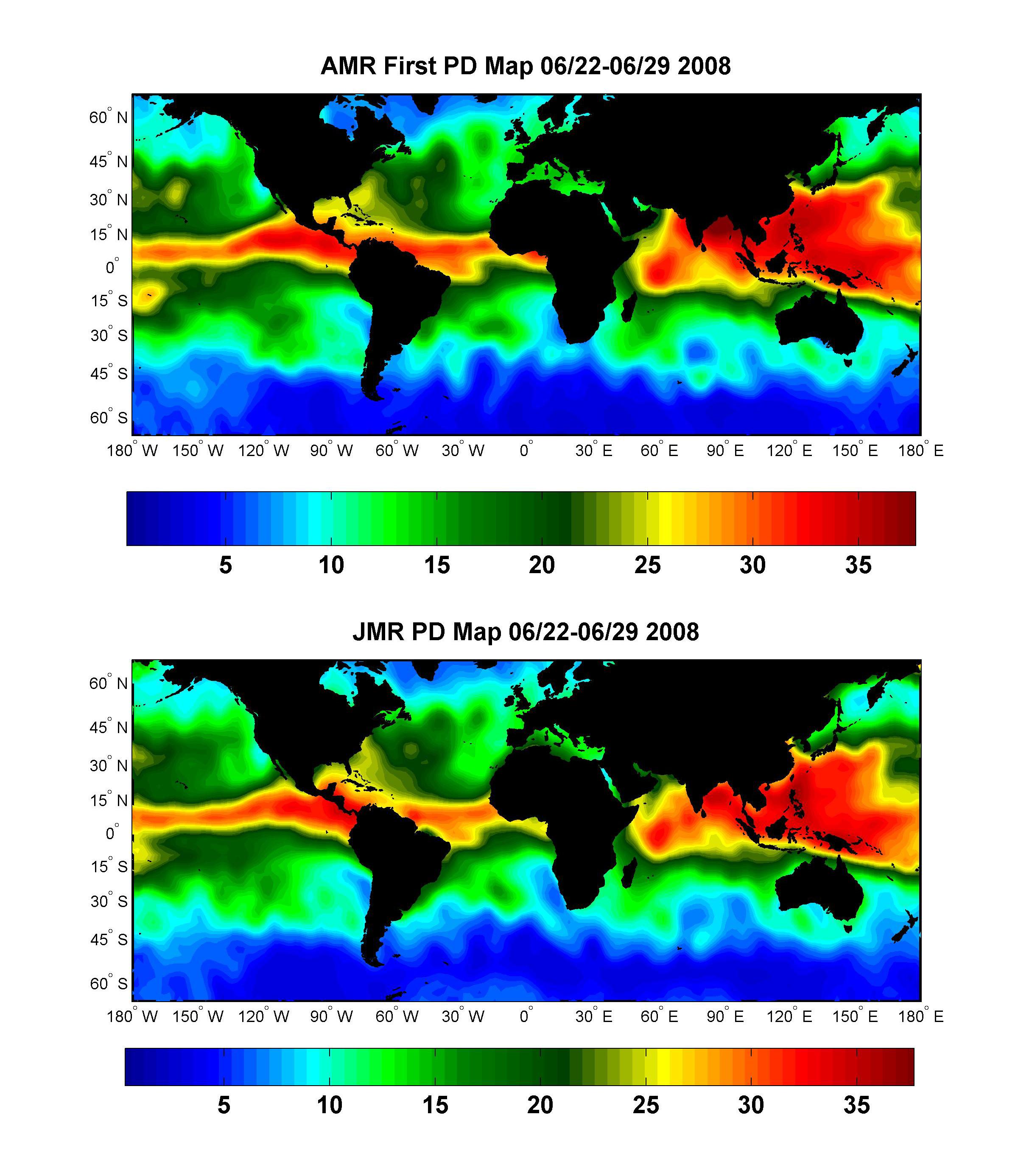
2008-07-15 | Earth |
OSTM/Jason-2 |
Advanced Microwave Radiometer (AMR) |
2400x2772x3 |
|
|||||
|
|
2008-07-18 | Earth |
Terra |
ASTER |
1639x1611x3 |
|
|||||
|
|
2008-07-22 | Earth |
Aqua |
AIRS |
1026x577x3 |
|
|||||
|
|
2008-07-23 | Earth |
Terra |
ASTER |
1503x2214x3 |
|
|||||
|
|
2008-07-31 | Earth |
Jason-1 |
Altimeter |
919x699x3 |
|
|||||
|
|
2008-08-06 | Earth |
Aqua |
AIRS |
727x329x3 |
|
|||||
|
|
2008-08-08 | Earth |
Terra |
ASTER |
3656x4124x3 |
|
|||||
|
|
2008-08-13 | Earth |
Aqua |
AIRS |
321x239x3 |
|
|||||
|
|
2008-08-13 | Earth |
Aqua |
AIRS |
319x240x3 |
|
|||||
|
|
2008-08-14 | Earth |
Aqua |
AIRS |
640x480x3 |
|
|||||
|
|
2008-08-28 | Earth |
Terra |
ASTER |
3832x2956x3 |
|
|||||
|
|
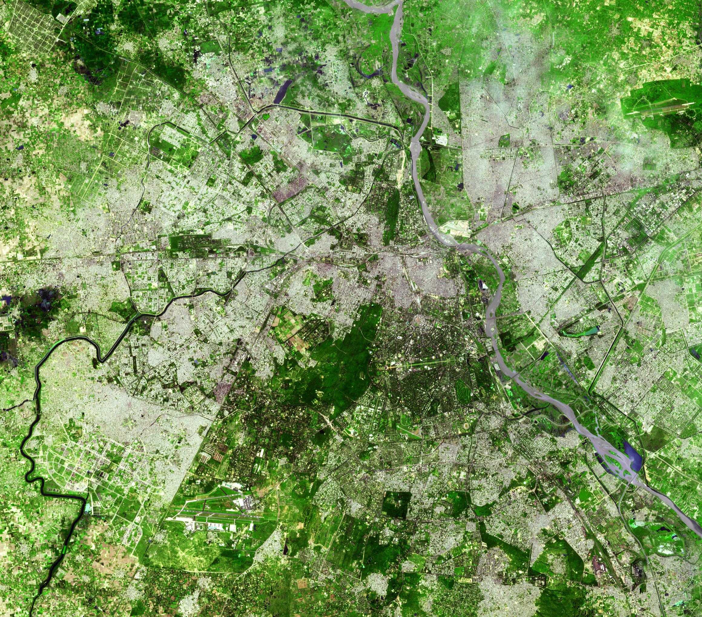
2008-09-04 | Earth |
ISS EarthKam |
Electronic Still Camera |
3060x2036x3 |
|
|||||
|
|
2008-09-04 | Earth |
ISS EarthKam |
Electronic Still Camera |
3060x2036x3 |
|
|||||
|
|
2008-09-04 | Earth |
ISS EarthKam |
Electronic Still Camera |
3060x2036x3 |
|
|||||
|
|
2008-09-04 | Earth |
ISS EarthKam |
Electronic Still Camera |
3060x2036x3 |
|
|||||
|
|
2008-09-04 | Earth |
ISS EarthKam |
Electronic Still Camera |
3060x2036x3 |
|
|||||
|
|
2008-09-04 | Earth |
ISS EarthKam |
Electronic Still Camera |
3060x2036x3 |
|
|||||
|
|
2008-09-04 | Earth |
ISS EarthKam |
Electronic Still Camera |
3060x2036x3 |

|
|||||
|
|
2008-09-04 | Earth |
ISS EarthKam |
Electronic Still Camera |
3060x2036x3 |

|
|||||

|
 |
|
|
|
|
|
|
|
|
|

|
| 1-100 | 101-200 | 201-300 | 301-400 | 401-500 | 501-600 | 601-700 | 701-800 | 801-900 | 901-1000 |
| Currently displaying images: 1001 - 1100 of 2596 |