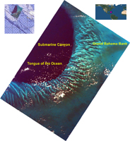
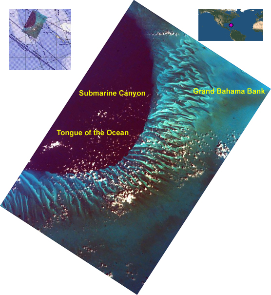
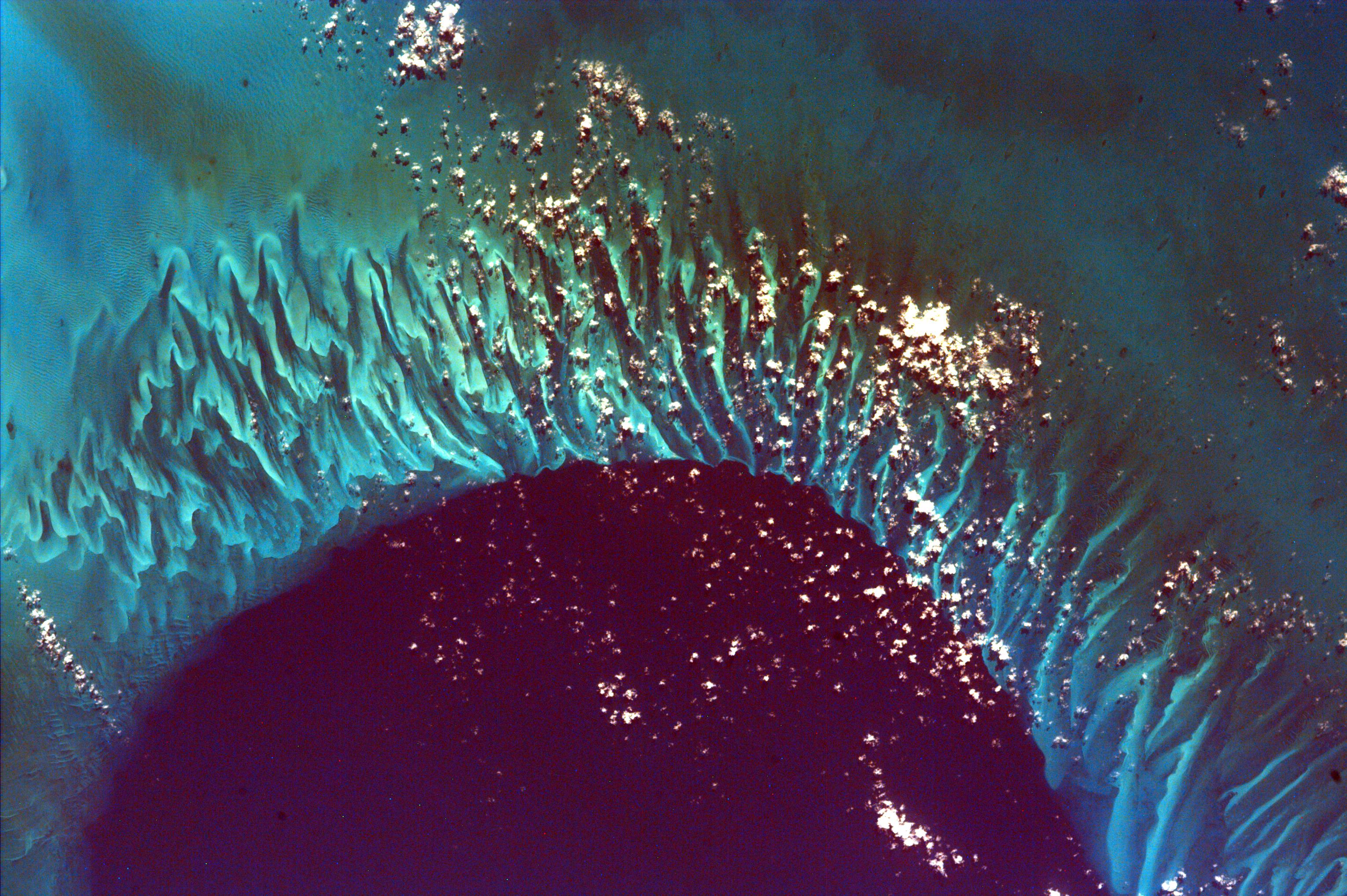
Click on image for larger annotated versionThis extraordinary image captures the meeting place of the deep waters of the Tongue of the Ocean and the much shallower, completely submerged Grand Bahama Bank. This platform reef drops off quickly into the branch of the Great Bahama submarine canyon that because of its shape is called the Tongue of the Ocean. The vertical rock walls of the Canyon rise 14,060 feet from their greatest depth to the surrounding seabed, which is why the water is so dark in color compared to the reef. The shallowest parts of the reef are no more than three to seven feet deep; so shallow, in fact, that in the northeast corner of the image you can zoom in and see large wave-sized ripples of sand on the bottom. Like so many other biological structures, the ribbon-like form of the reef maximizes surface area and thus the number of organisms that can colonize the structure. The closest land is the Bahama Islands of Great Exuma, less than 16 miles to the east, and Andros about 27 miles to the west.
This image was taken from the Space Shuttle on February 14, 2000.
Photojournal note:
EarthKAM was formerly known as KidSat. To see images of KidSat, see https://photojournal.jpl.nasa.gov/mission/KidSat .
