|
Your search criteria found 2597 images Target is Earth (and available satellites) |
| My List |
Addition Date | Target | Mission |
Instrument
|
Size |

|
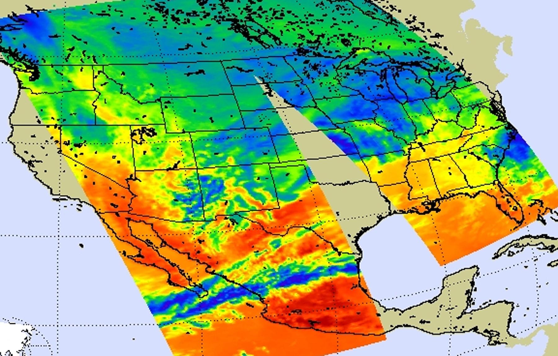
2010-08-19 | Earth |
Aqua |
AIRS |
1200x901x3 |

|
|||||
|
|
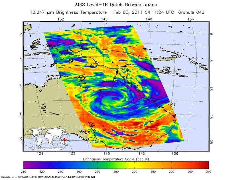
2011-02-03 | Earth |
Aqua |
AIRS |
882x630x3 |
|
|||||
|
|
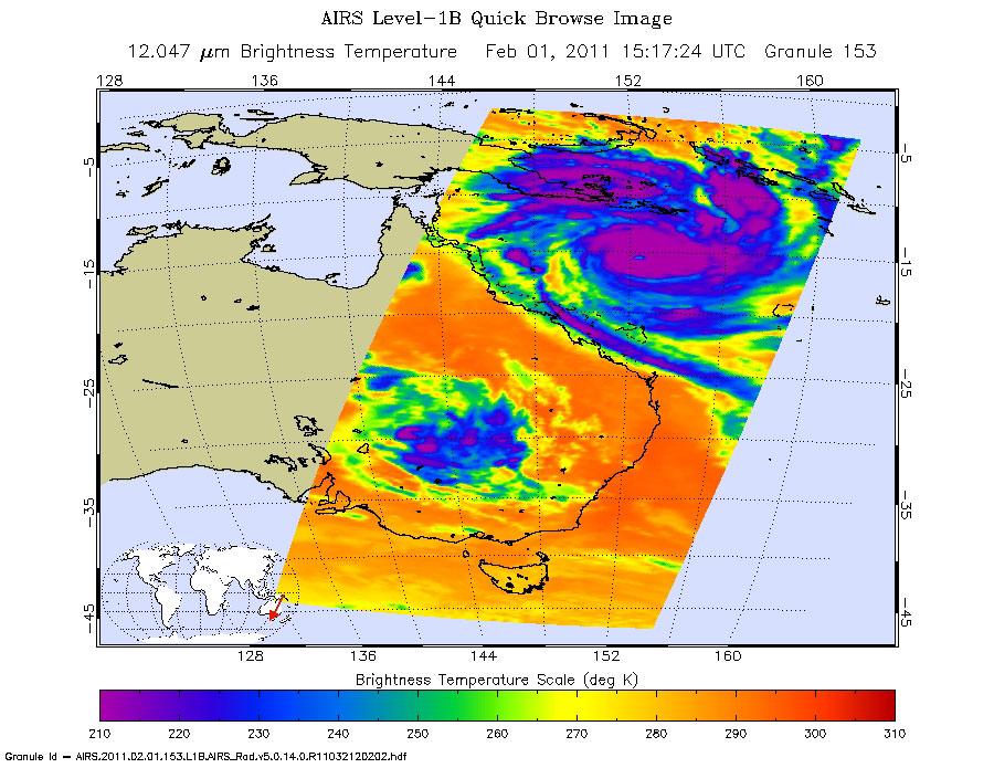
2011-02-02 | Earth |
Aqua |
AIRS |
1800x1150x3 |
|
|||||
|
|
2011-02-02 | Earth |
Aqua |
AIRS |
900x695x3 |
|
|||||
|
|
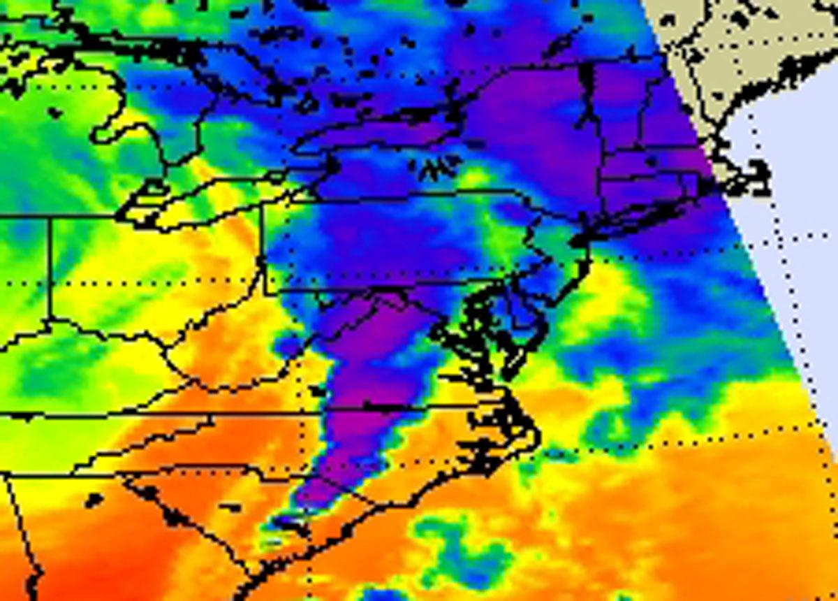
2011-02-04 | Earth |
Aqua |
AIRS |
814x630x3 |
|
|||||
|
|
2011-04-18 | Earth |
Aqua |
AIRS |
1200x860x3 |
|
|||||
|
|
2011-05-28 | Earth |
Aqua |
AIRS |
780x797x3 |
|
|||||
|
|
2011-07-26 | Earth |
Aqua |
AIRS |
1276x744x3 |
|
|||||
|
|
2011-07-28 | Earth |
Aqua |
AIRS |
1200x900x3 |
|
|||||
|
|
2011-07-29 | Earth |
Aqua |
AIRS |
927x1000x3 |
|
|||||
|
|
2011-08-02 | Earth |
Aqua |
AIRS |
1000x1000x3 |
|
|||||
|
|
2011-08-03 | Earth |
Aqua |
AIRS |
900x695x3 |
|
|||||
|
|
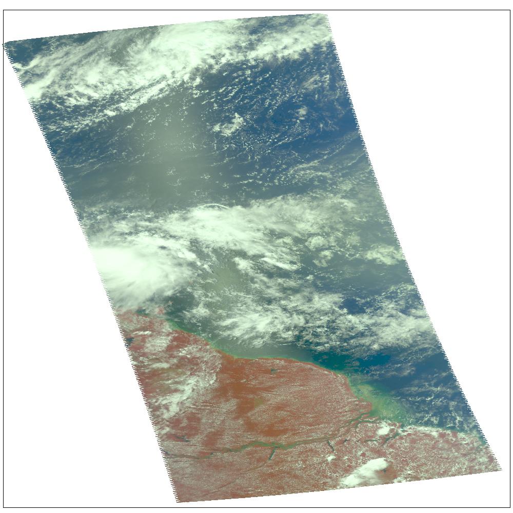
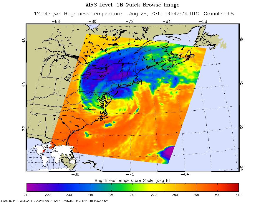
2011-08-28 | Earth |
Aqua |
AIRS |
900x695x3 |
|
|||||
|
|
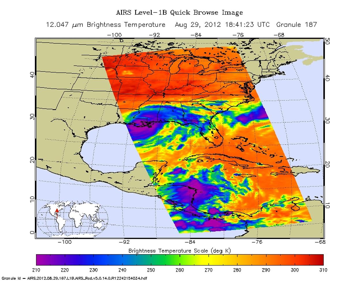
2012-08-30 | Earth |
Aqua |
AIRS |
1200x1012x3 |
|
|||||
|
|
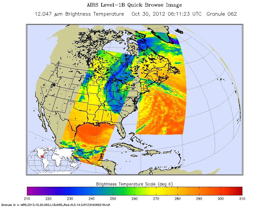
2012-10-30 | Earth |
Aqua |
AIRS |
900x695x3 |
|
|||||
|
|
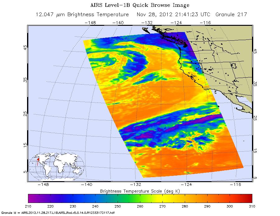
2012-11-29 | Earth |
Aqua |
AIRS |
900x695x3 |
|
|||||
|
|
2013-05-22 | Earth |
Aqua |
AIRS |
1976x1900x3 |
|
|||||
|
|
2013-05-22 | Earth |
Aqua |
AIRS |
2084x1946x3 |
|
|||||
|
|
2013-05-22 | Earth |
Aqua |
AIRS |
1960x1482x3 |

|
|||||
|
|
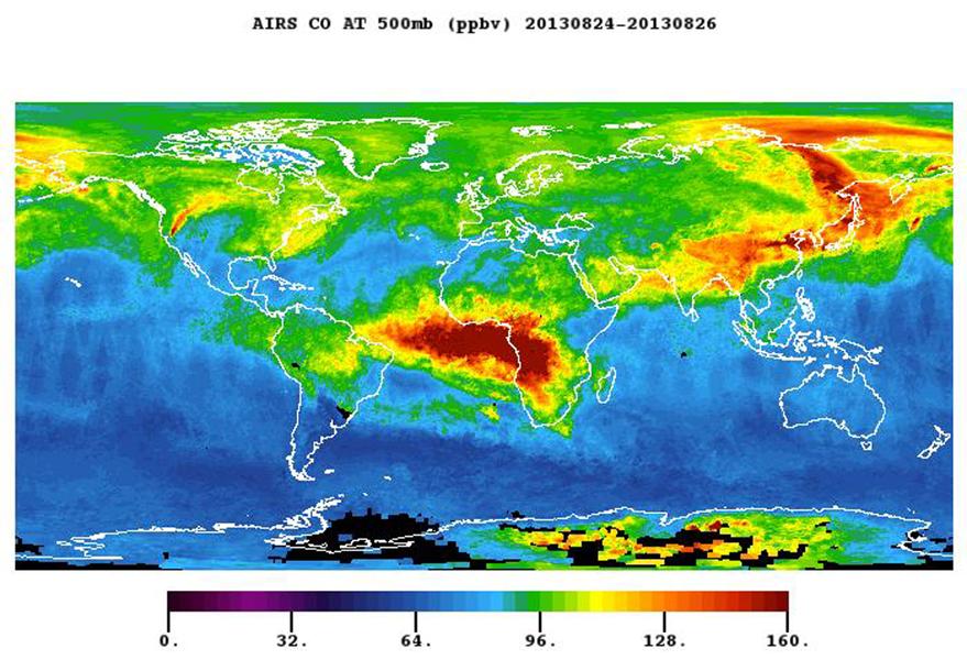
2013-08-27 | Earth |
Aqua |
AIRS |
879x600x3 |
|
|||||
|
|
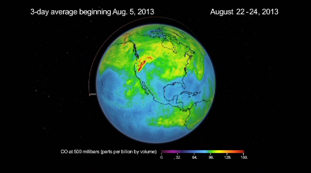
2013-08-27 | Earth |
Aqua |
AIRS |
1279x713x3 |
|
|||||
|
|
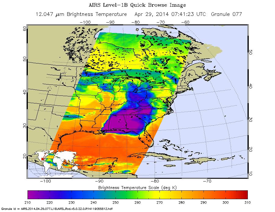
2014-04-29 | Earth |
Aqua |
AIRS |
900x695x3 |

|
|||||
|
|
2015-05-07 | Earth |
Aqua |
AIRS |
737x467x3 |
|
|||||
|
|
2015-10-30 | Earth |
Aquarius |
AIRS |
2400x1800x3 |

|
|||||
|
|
2016-05-11 | Earth |
Aqua |
AIRS |
914x569x3 |

|
|||||
|
|
2016-10-06 | Earth |
Aqua |
AIRS |
876x960x3 |
|
|||||
|
|
2016-10-07 | Earth |
Aquarius |
AIRS |
1041x800x3 |
|
|||||
|
|
2017-01-13 | Earth |
Aqua |
AIRS |
649x464x3 |
|
|||||
|
|
2017-08-28 | Earth |
Aqua |
AIRS |
900x695x3 |
|
|||||
|
|
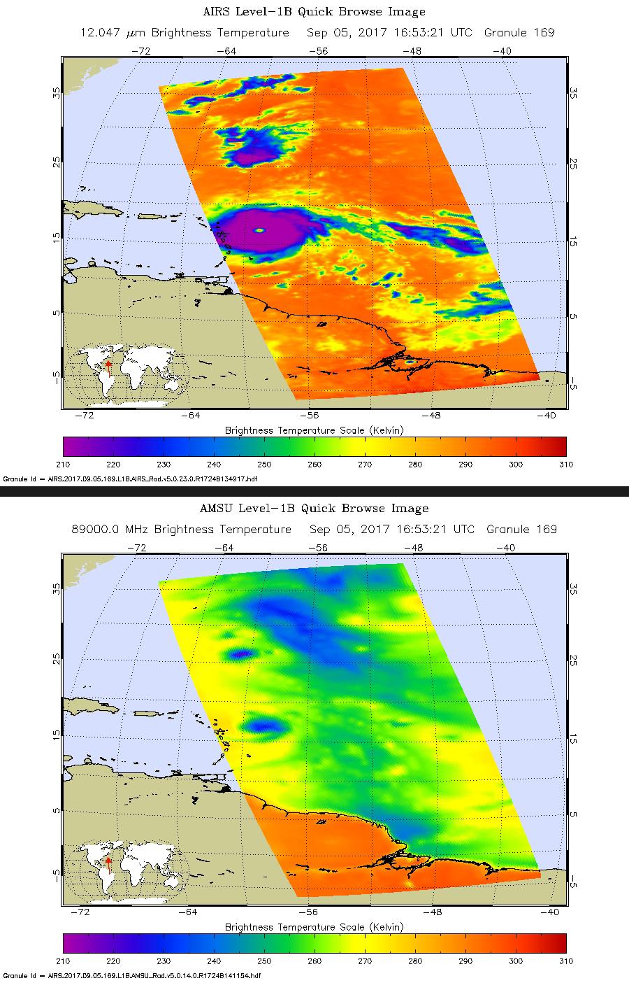
2017-09-05 | Earth |
Aqua |
AIRS |
900x1405x3 |
|
|||||
|
|
2017-09-08 | Earth |
Aqua |
AIRS |
1920x1080x3 |

|
|||||
|
|
2018-03-19 | Earth |
Aqua |
AIRS |
2400x1800x3 |
|
|||||
|
|
2018-08-14 | Earth |
Aqua |
AIRS |
950x534x3 |
|
|||||
|
|
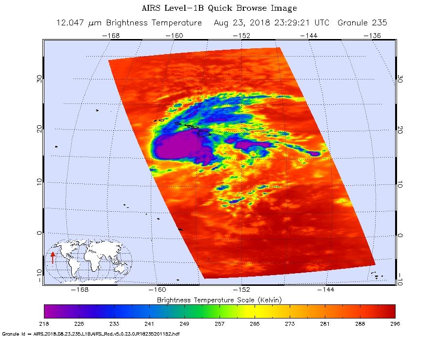
2018-08-24 | Earth |
Aqua |
AIRS |
900x695x3 |
|
|||||
|
|
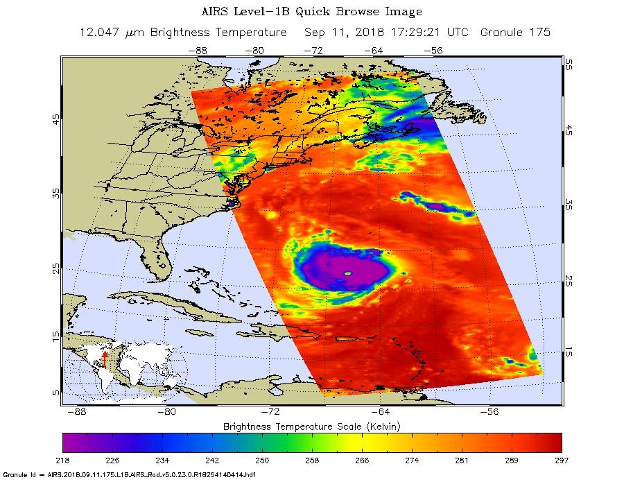
2018-09-12 | Earth |
Aqua |
AIRS |
900x695x3 |
|
|||||
|
|
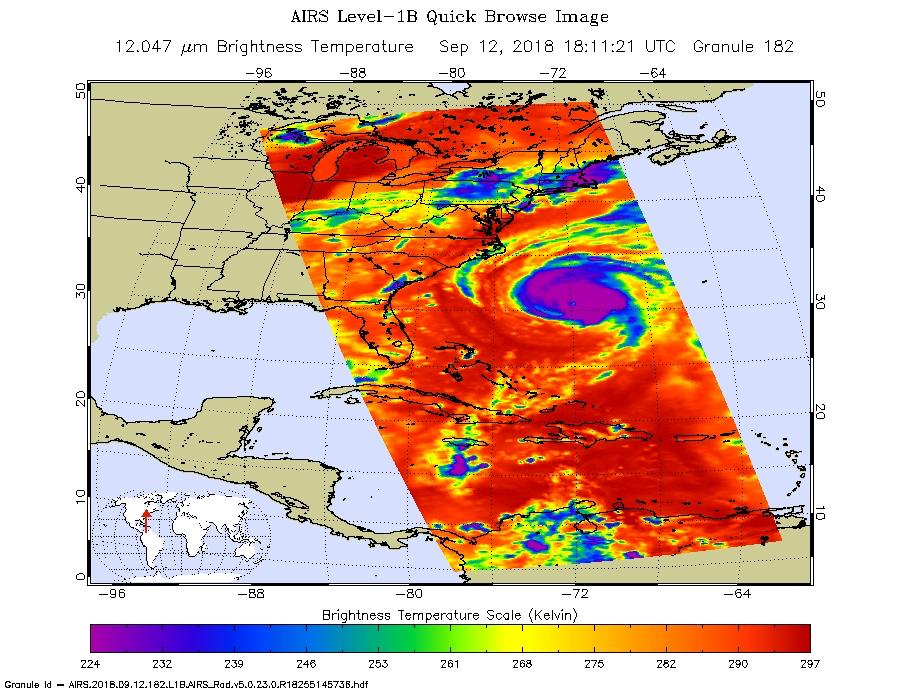
2018-09-12 | Earth |
Aqua |
AIRS |
900x695x3 |
|
|||||
|
|
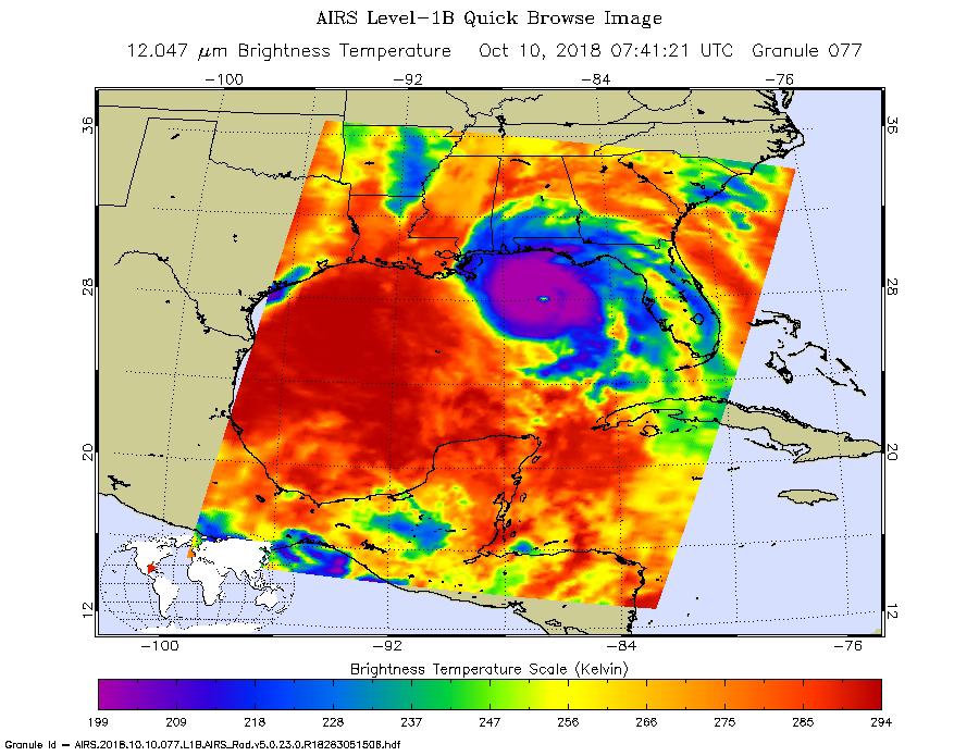
2018-10-10 | Earth |
Aqua |
AIRS |
900x695x3 |
|
|||||
|
|
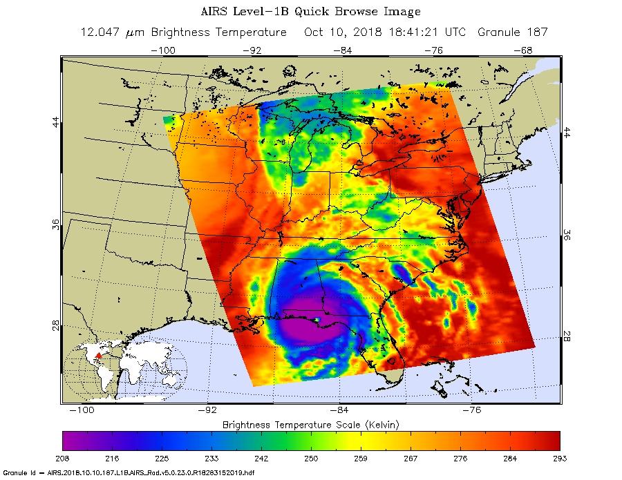
2018-10-10 | Earth |
Aqua |
AIRS |
900x695x3 |
|
|||||
|
|
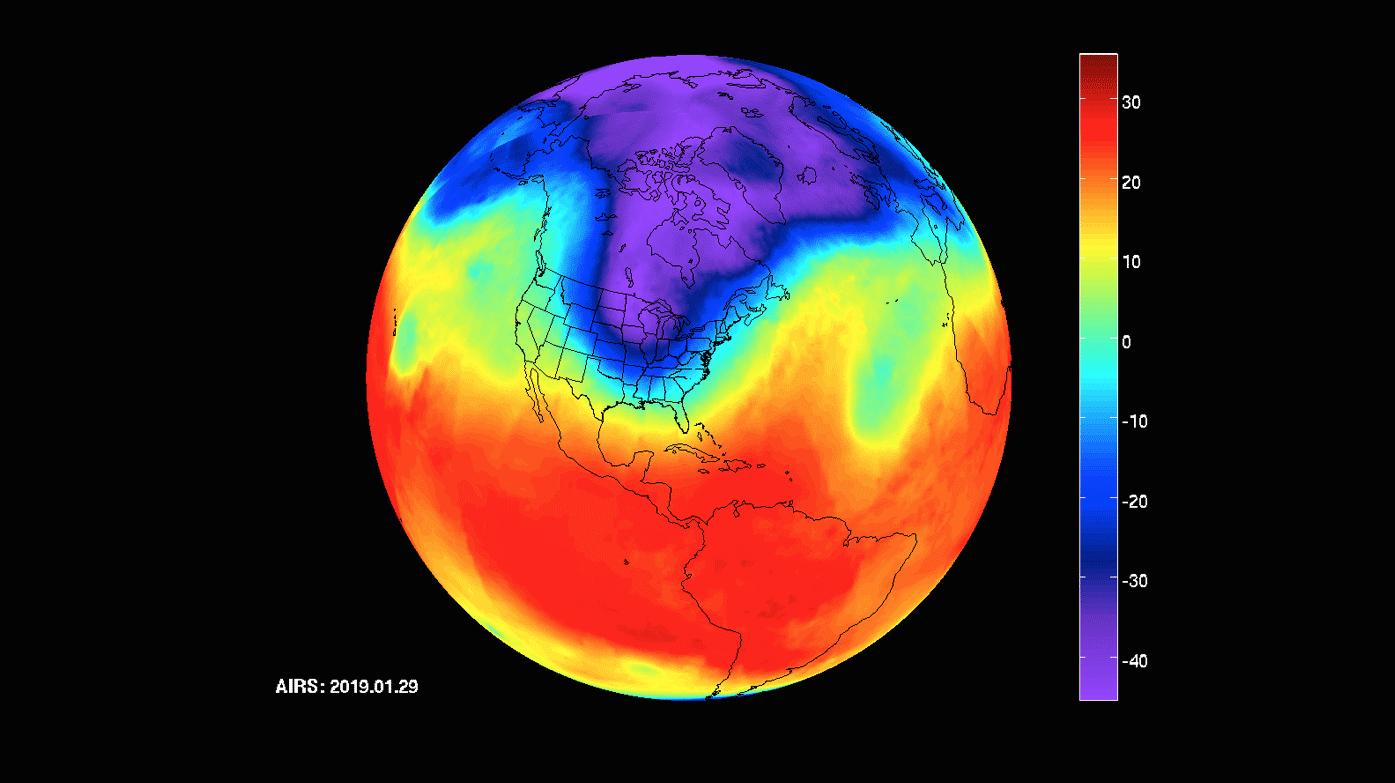
2019-01-31 | Earth |
Aqua |
AIRS |
1395x783x3 |
|
|||||
|
|
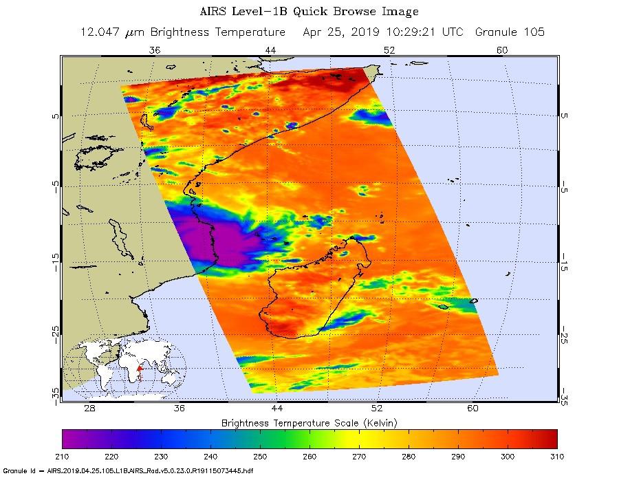
2019-04-25 | Earth |
Aqua |
AIRS |
900x695x3 |
|
|||||
|
|
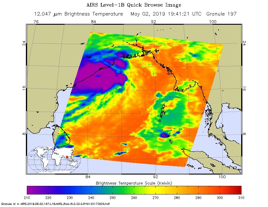
2019-05-02 | Earth |
Aqua |
AIRS |
900x695x3 |
|
|||||
|
|
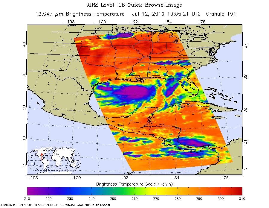
2019-07-12 | Earth |
Aqua |
AIRS |
900x695x3 |
|
|||||
|
|
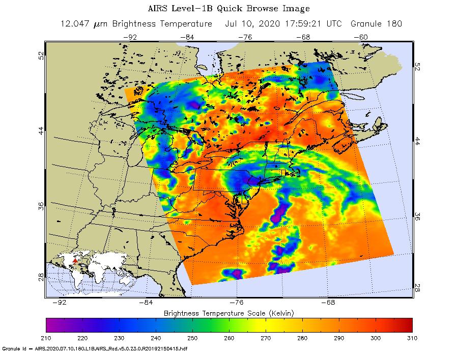
2020-07-10 | Earth |
Aqua |
AIRS |
900x695x3 |
|
|||||
|
|
2019-08-23 | Earth |
Aqua |
AIRS |
1400x787x3 |
|
|||||
|
|
2019-08-29 | Earth |
Aqua |
AIRS |
900x695x3 |
|
|||||
|
|
2019-09-05 | Earth |
Aqua |
AIRS |
3994x3194x3 |
|
|||||
|
|
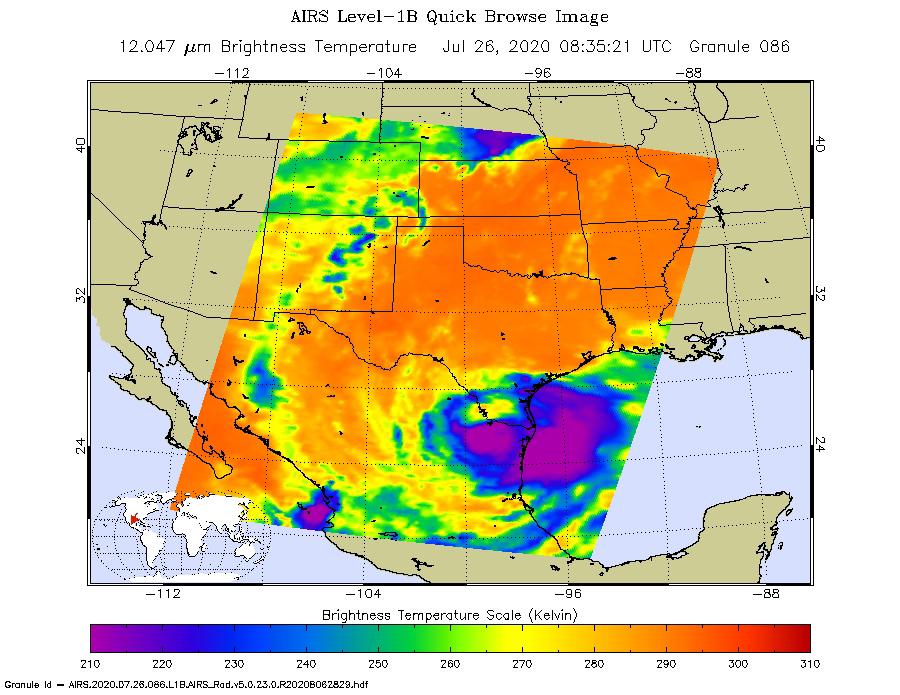
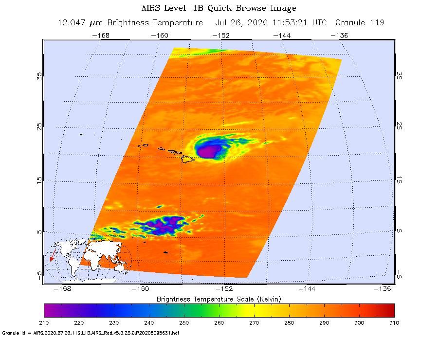
2020-07-27 | Earth |
Aqua |
AIRS |
900x695x3 |
|
|||||
|
|
2020-07-27 | Earth |
Aqua |
AIRS |
900x695x3 |
|
|||||
|
|
2020-09-14 | Earth |
Aqua |
AIRS |
1600x900x3 |
|
|||||
|
|
2021-07-08 | Earth |
Aqua |
AIRS |
1210x1266x3 |
|
|||||
|
|
2021-07-15 | Earth |
Aqua |
AIRS |
1210x1266x3 |
|
|||||
|
|
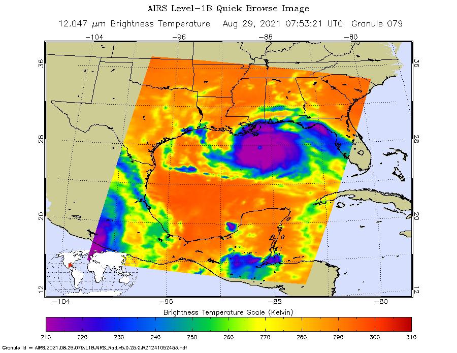
2021-08-31 | Earth |
Aqua |
AIRS |
900x695x3 |
|
|||||
|
|
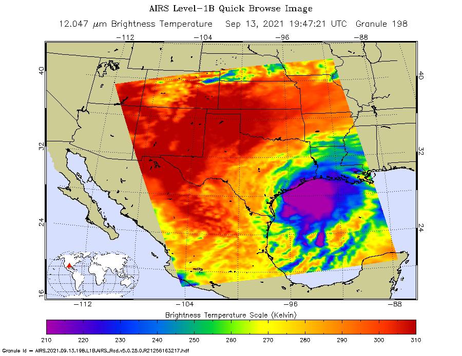
2021-09-16 | Earth |
Aqua |
AIRS |
900x695x3 |
|
|||||
|
|
2022-01-04 | Earth |
Aqua |
AIRS |
1664x1740x3 |
|
|||||
|
|
2022-03-04 | Earth |
Aqua |
AIRS |
1400x1000x3 |

|
|||||
|
|
2022-09-08 | Earth |
Aqua |
AIRS |
900x695x3 |
|
|||||
|
|
2022-09-28 | Earth |
Aqua |
AIRS |
900x695x3 |
|
|||||
|
|
2022-12-05 | Earth |
Aqua |
AIRS |
2702x3011x3 |
|
|||||
|
|
2023-01-10 | Earth |
Aqua |
AIRS |
1195x611x3 |
|
|||||
|
|
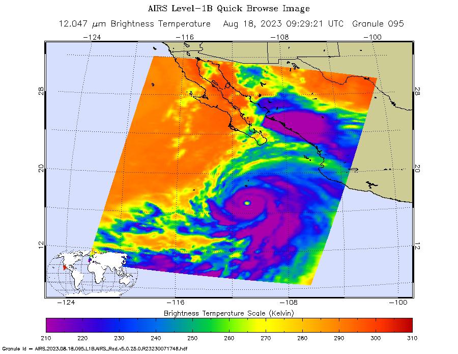
2023-08-18 | Earth |
Aqua |
AIRS |
900x695x3 |
|
|||||
|
|
2003-09-20 | Earth |
Aqua |
AIRS Scatterometer (SeaWinds) |
500x500x3 |
|
|||||
|
|
2012-06-29 | Earth |
Aqua |
AIRS MODIS |
1920x1070x3 |

|
|||||
|
|
2013-11-08 | Earth |
Aqua OSCAT |
AIRS OSCAT |
1200x600x3 |
|
|||||
|
|
2018-06-01 | Earth |
AVIRIS-NG |
4500x1476x3 | |
|
|||||
|
|
2018-06-01 | Earth |
AVIRIS-NG |
4500x1476x3 | |

|
|||||
|
|
2020-09-02 | Earth |
AVIRIS-NG |
3999x2249x3 | |
|
|||||
|
|
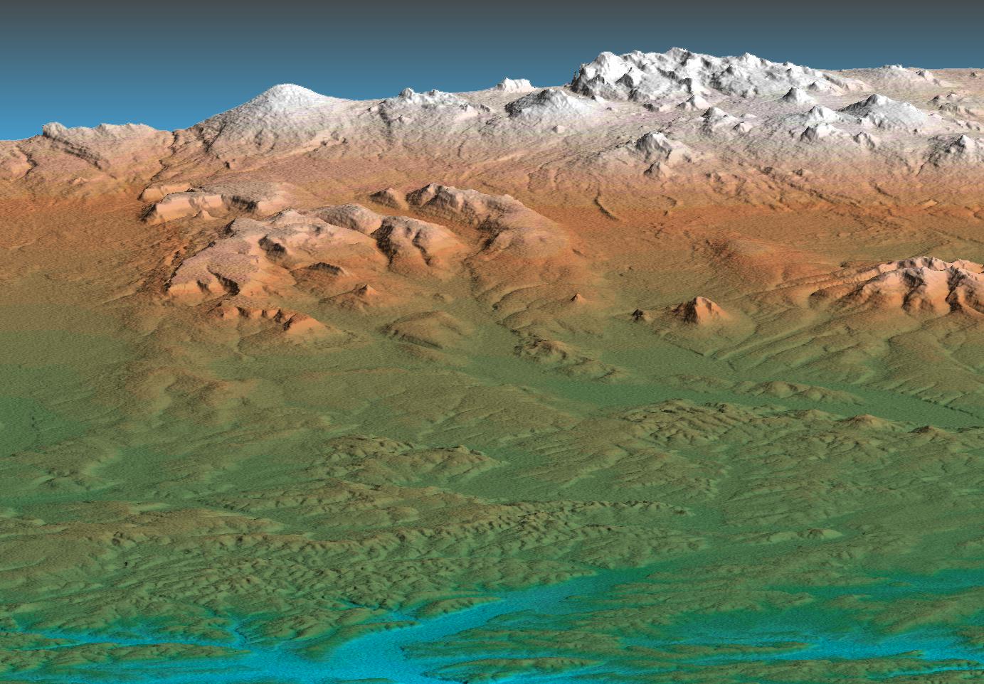
2005-09-22 | Earth |
Shuttle Radar Topography Mission (SRTM) |
C-Band Imaging Radar X-Band Imaging Radar |
3621x1525x3 |
|
|||||
|
|
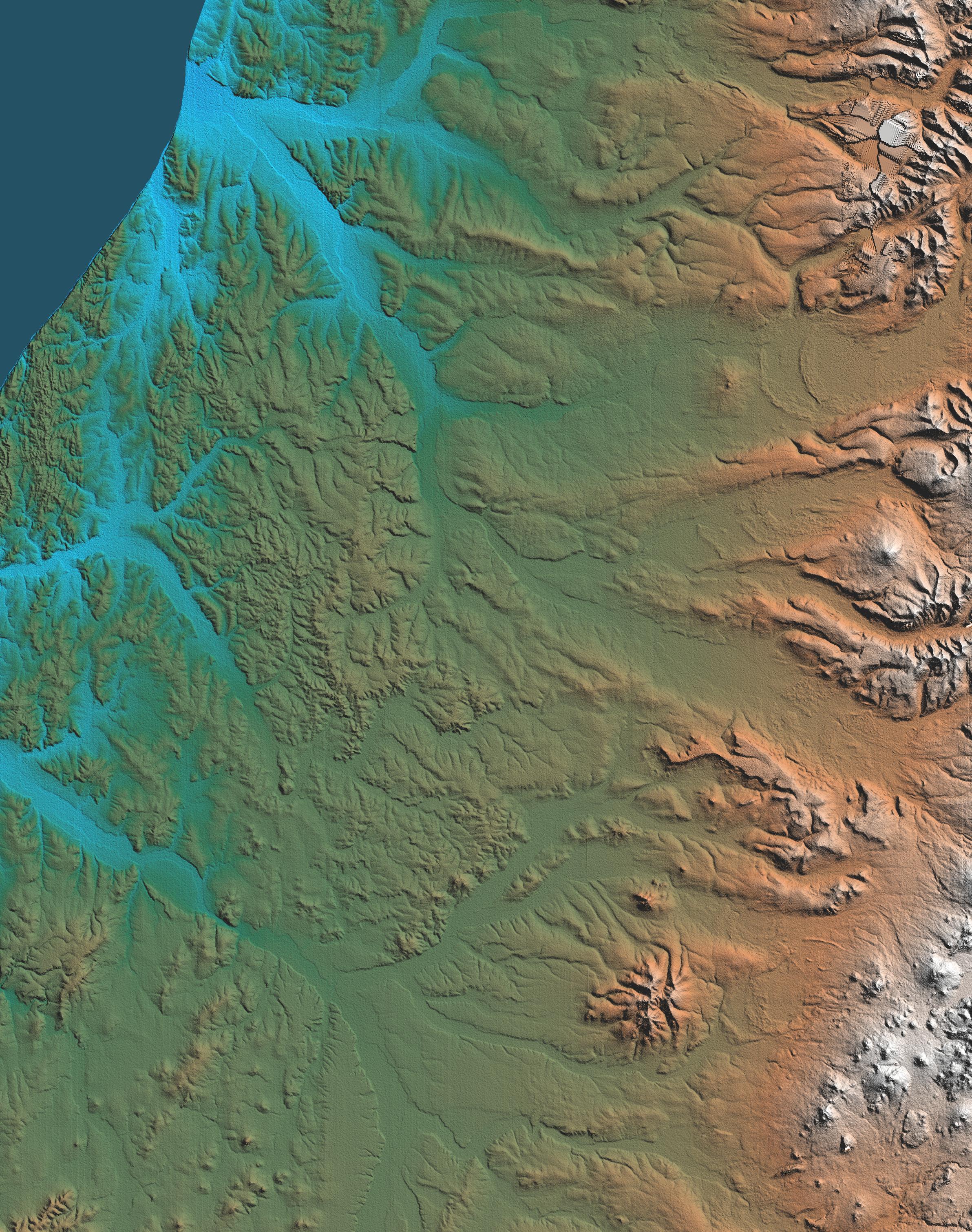
2004-10-01 | Earth |
Shuttle Radar Topography Mission (SRTM) |
C-Band Imaging Radar X-Band Radar |
2300x1730x3 |

|
|||||
|
|
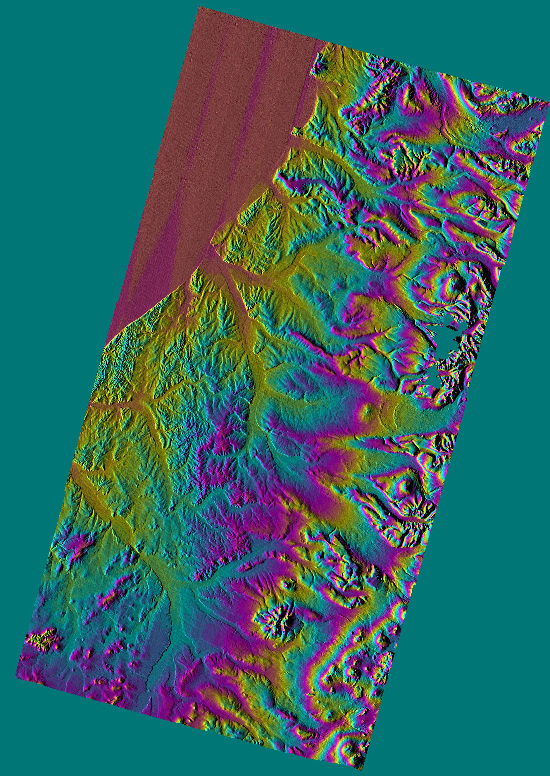
2005-03-16 | Earth |
Shuttle Radar Topography Mission (SRTM) |
C-Band Imaging Radar X-Band Radar |
6587x8336x3 |

|
|||||
|
|
2005-08-29 | Earth |
Shuttle Radar Topography Mission (SRTM) |
C-Band Imaging Radar X-Band Radar |
3000x2519x3 |

|
|||||
|
|
2005-08-29 | Earth |
Shuttle Radar Topography Mission (SRTM) |
C-Band Imaging Radar X-Band Radar |
1800x2061x3 |

|
|||||
|
|
2006-01-25 | Earth |
Shuttle Radar Topography Mission (SRTM) |
C-Band Imaging Radar X-Band Radar |
1586x1965x3 |
|
|||||
|
|
2002-10-25 | Earth |
Shuttle Radar Topography Mission (SRTM) |
C-Band Interferometric Radar |
1152x870x3 |

|
|||||
|
|
2002-10-25 | Earth |
Shuttle Radar Topography Mission (SRTM) |
C-Band Interferometric Radar |
1152x870x3 |

|
|||||
|
|
2000-02-14 | Earth |
Shuttle Radar Topography Mission (SRTM) |
C-Band Interferometric Radar |
2400x2781x3 |
|
|||||
|
|
2000-02-14 | Earth |
Shuttle Radar Topography Mission (SRTM) |
C-Band Interferometric Radar |
1890x2270x1 |
|
|||||
|
|
2000-02-14 | Earth |
Shuttle Radar Topography Mission (SRTM) |
C-Band Interferometric Radar |
2257x2887x1 |

|
|||||
|
|
2000-02-15 | Earth |
Shuttle Radar Topography Mission (SRTM) |
C-Band Interferometric Radar |
2056x1194x3 |
|
|||||
|
|
2000-02-15 | Earth |
Shuttle Radar Topography Mission (SRTM) |
C-Band Interferometric Radar |
2062x1194x3 |

|
|||||
|
|
2000-02-15 | Earth |
Shuttle Radar Topography Mission (SRTM) |
C-Band Interferometric Radar |
2400x2938x3 |

|
|||||
|
|
2000-02-16 | Earth |
Shuttle Radar Topography Mission (SRTM) |
C-Band Interferometric Radar |
1383x962x3 |
|
|||||
|
|
2000-02-16 | Earth |
Shuttle Radar Topography Mission (SRTM) |
C-Band Interferometric Radar |
2384x3021x3 |
|
|||||
|
|
2000-02-16 | Earth |
Shuttle Radar Topography Mission (SRTM) |
C-Band Interferometric Radar |
1881x2650x3 |
|
|||||
|
|
2000-02-17 | Earth |
Shuttle Radar Topography Mission (SRTM) |
C-Band Interferometric Radar |
1059x722x3 |
|
|||||
|
|
2000-02-17 | Earth |
Shuttle Radar Topography Mission (SRTM) |
C-Band Interferometric Radar |
1749x4787x3 |
|
|
|||||
|
|
2000-02-17 | Earth |
Shuttle Radar Topography Mission (SRTM) |
C-Band Interferometric Radar |
1357x982x3 |
|
|||||
|
|
2000-02-17 | Earth |
Shuttle Radar Topography Mission (SRTM) |
C-Band Interferometric Radar |
1749x4787x3 |
|
|
|||||
|
|
2000-02-17 | Earth |
Shuttle Radar Topography Mission (SRTM) |
C-Band Interferometric Radar |
1228x1093x3 |

|
|||||
|
|
2000-02-17 | Earth |
Shuttle Radar Topography Mission (SRTM) |
C-Band Interferometric Radar |
1228x1093x3 |
|
|||||
|
|
2000-03-13 | Earth |
Shuttle Radar Topography Mission (SRTM) |
C-Band Interferometric Radar |
2496x2447x3 |
|
|||||
|
|
2000-02-18 | Earth |
Shuttle Radar Topography Mission (SRTM) |
C-Band Interferometric Radar |
1856x1852x3 |
|
|||||
|
|
2000-02-18 | Earth |
Shuttle Radar Topography Mission (SRTM) |
C-Band Interferometric Radar |
737x797x3 |
|
|||||
|
|
2000-02-19 | Earth |
Shuttle Radar Topography Mission (SRTM) |
C-Band Interferometric Radar |
1793x1314x1 |
|
|||||
|
|
2000-02-19 | Earth |
Shuttle Radar Topography Mission (SRTM) |
C-Band Interferometric Radar |
2273x1515x3 |
|
|||||
|
|
2000-02-19 | Earth |
Shuttle Radar Topography Mission (SRTM) |
C-Band Interferometric Radar |
1319x1062x3 |

|
|||||
|
|
2000-02-19 | Earth |
Shuttle Radar Topography Mission (SRTM) |
C-Band Interferometric Radar |
1877x1676x3 |
|
|||||
|
|
2000-02-20 | Earth |
Shuttle Radar Topography Mission (SRTM) |
C-Band Interferometric Radar |
1965x1347x3 |
|
|||||
|
|
2000-02-20 | Earth |
Shuttle Radar Topography Mission (SRTM) |
C-Band Interferometric Radar |
1634x1072x3 |
|
|||||
|
|
2000-02-21 | Earth |
Shuttle Radar Topography Mission (SRTM) |
C-Band Interferometric Radar |
1252x2352x1 |
|
|||||
|
|
2000-02-21 | Earth |
Shuttle Radar Topography Mission (SRTM) |
C-Band Interferometric Radar |
1929x1800x3 |
|
|||||

|
 |
|
|
|
|
|
|
|
|
|

|
| 1-100 | 101-200 | 201-300 | 301-400 | 401-500 | 501-600 | 601-700 | 701-800 | 801-900 | 901-1000 |
| Currently displaying images: 1301 - 1400 of 2597 |