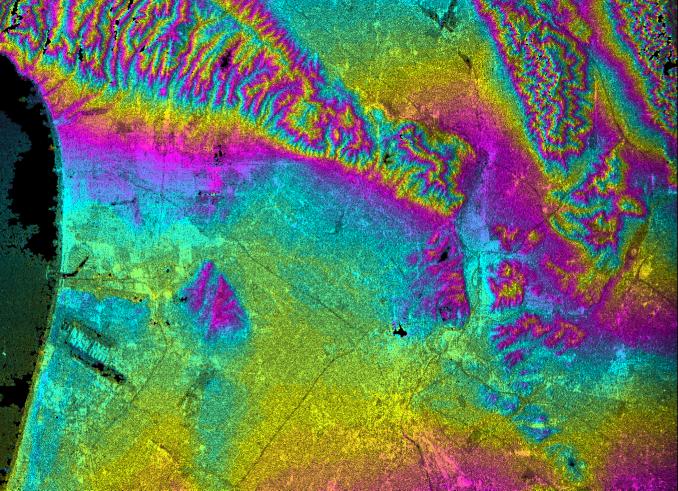
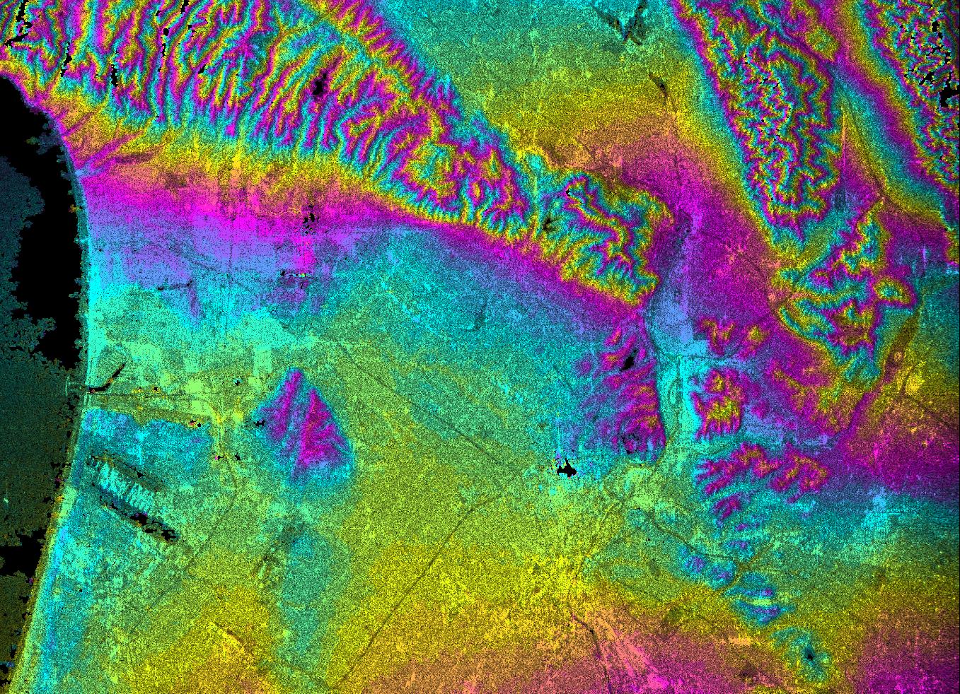
This topographic radar image shows the relationships of the dense urban development of Los Angeles and the natural contours of the land. The image includes the Pacific Ocean on the left, the flat Los Angeles Basin across the center, and the steep ranges of the Santa Monica and Verdugo mountains along the top. The two dark strips near the coast at lower left are the runways of Los Angeles International Airport. Downtown Los Angeles is the bright yellow and pink area at lower center. Pasadena, including the Rose Bowl, are seen half way down the right edge of the image. The communities of Glendale and Burbank, including the Burbank Airport, are seen at the center of the top edge of the image. Hazards from earthquakes, floods and fires are intimately related to the topography in this area. Topographic data and other remote sensing images provide valuable information for assessing and mitigating the natural hazards for cities such as Leangles.
This image combines two types of data from the Shuttle Radar Topography Mission. The image brightness corresponds to the strength of the radar signal reflected from the ground, while colors show the elevation as measured by SRTM. Each cycle of colors (from pink through blue back to pink) represents an equal amount of elevation difference (400 meters, or 1300 feet) similar to contour lines on a standard topographic map. This image contains about 2400 meters (8000 feet) of total relief.
The Shuttle Radar Topography Mission (SRTM), launched on February 11, 2000, uses the same radar instrument that comprised the Spaceborne Imaging Radar-C/X-Band Synthetic Aperture Radar (SIR-C/X-SAR) that flew twice on the Space Shuttle Endeavour in 1994. The mission is designed to collect three-dimensional measurements of the Earth's surface. To collect the 3-D data, engineers added a 60-meter-long (200-foot) mast, an additional C-band imaging antenna and improved tracking and navigation devices. The mission is a cooperative project between the National Aeronautics and Space Administration (NASA), the National Imagery and Mapping Agency (NIMA) and the German (DLR) and Italian (ASI) space agencies. It is managed by NASA's Jet Propulsion Laboratory, Pasadena, CA, for NASA's Earth Science Enterprise, Washington, DC.
Size: 41 km (25 miles) x 29 km (18 miles)
Location: 34.1 deg. North lat., 118.3 deg. West lon.
Orientation: North toward upper right
Original Data Resolution: 30 meters (99 feet)
Date Acquired: February 16, 2000
 Planetary Data System


