|
Your search criteria found 2595 images Target is Earth (and available satellites) |
| My List |
Addition Date | Target | Mission |
Instrument
|
Size |

|
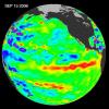
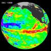
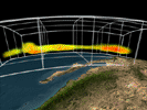
2006-10-10 | Earth |
Jason-1 |
Altimeter |
900x900x3 |
|
|||||
|
|
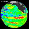
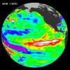
2006-12-07 | Earth |
Jason-1 |
Altimeter |
900x900x3 |
|
|||||
|
|
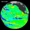
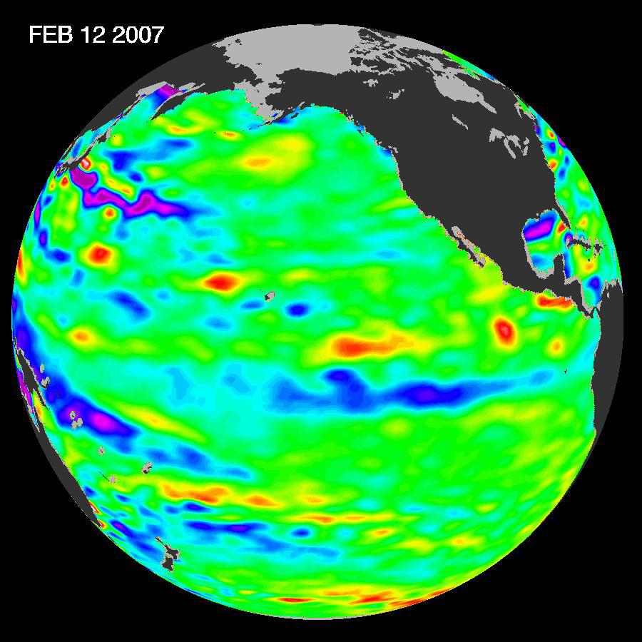
2007-03-02 | Earth |
Jason-1 |
Altimeter |
900x900x3 |
|
|||||
|
|
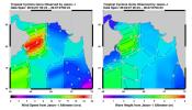
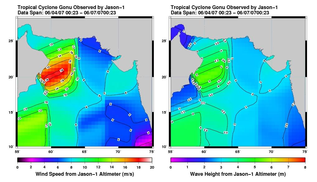
2007-06-08 | Earth |
Jason-1 |
Altimeter |
1018x583x3 |
|
|||||
|
|
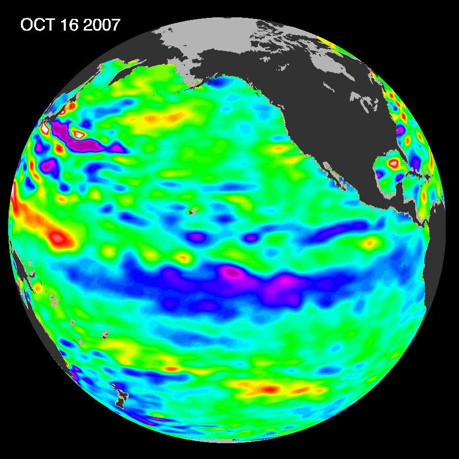
2007-11-07 | Earth |
Jason-1 |
Altimeter |
900x900x3 |
|
|||||
|
|
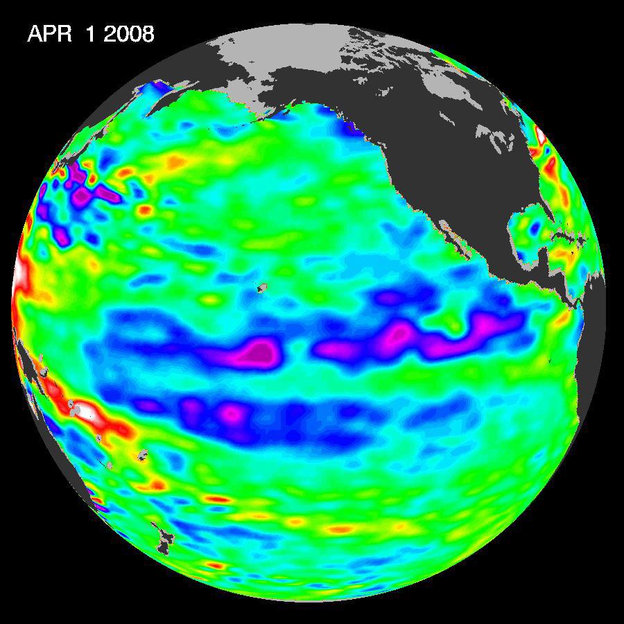
2008-04-22 | Earth |
Jason-1 |
Altimeter |
900x900x3 |
|
|||||
|
|
2008-07-31 | Earth |
Jason-1 |
Altimeter |
919x699x3 |
|
|||||
|
|
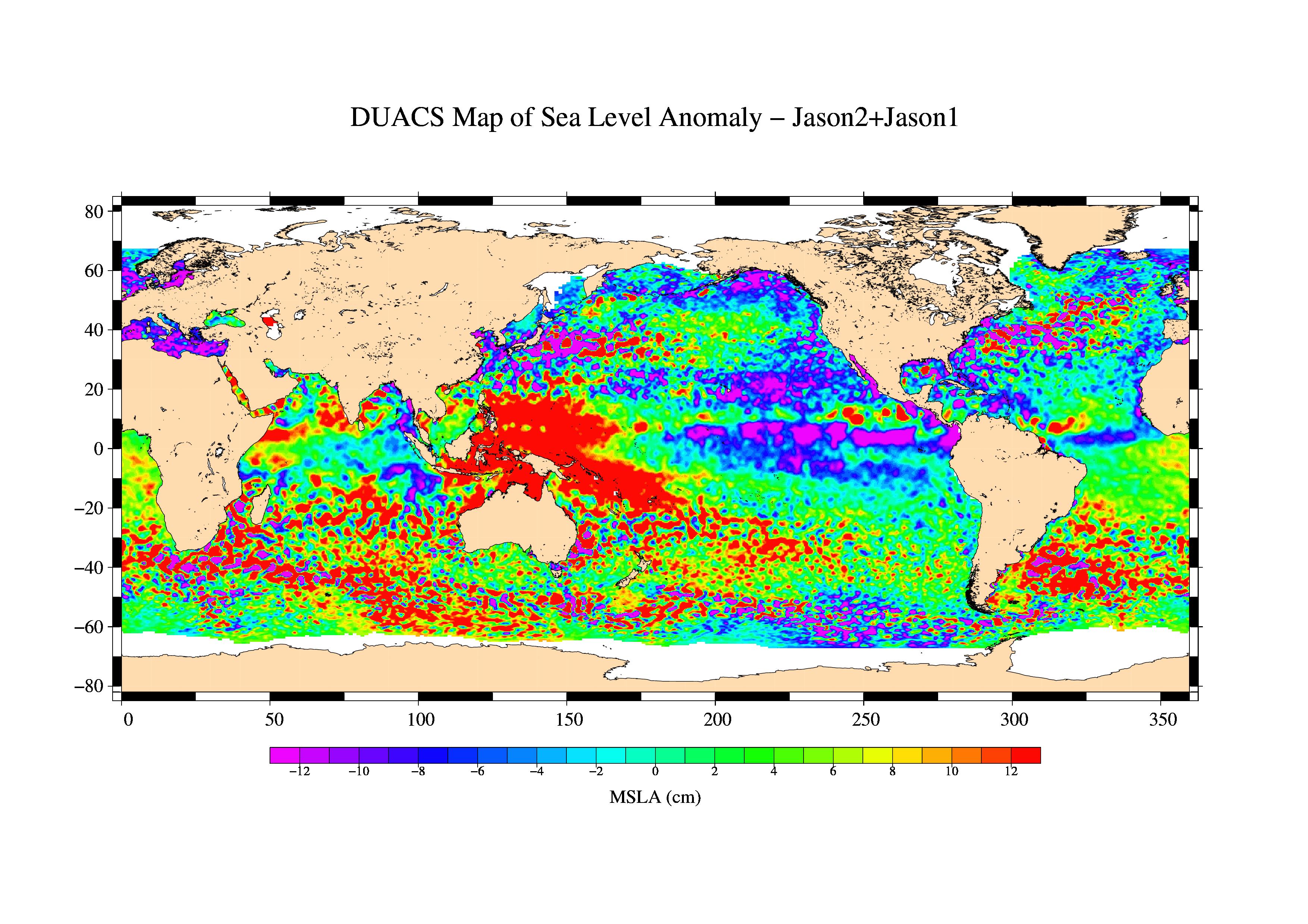
2008-09-24 | Earth |
OSTM/Jason-2 |
Altimeter |
1225x710x3 |
|
|||||
|
|
2008-12-13 | Earth |
Jason-1 |
Altimeter |
900x900x3 |
|
|||||
|
|
2009-02-06 | Earth |
Jason-1 OSTM/Jason-2 |
Altimeter |
1074x1074x3 |

|
|||||
|
|
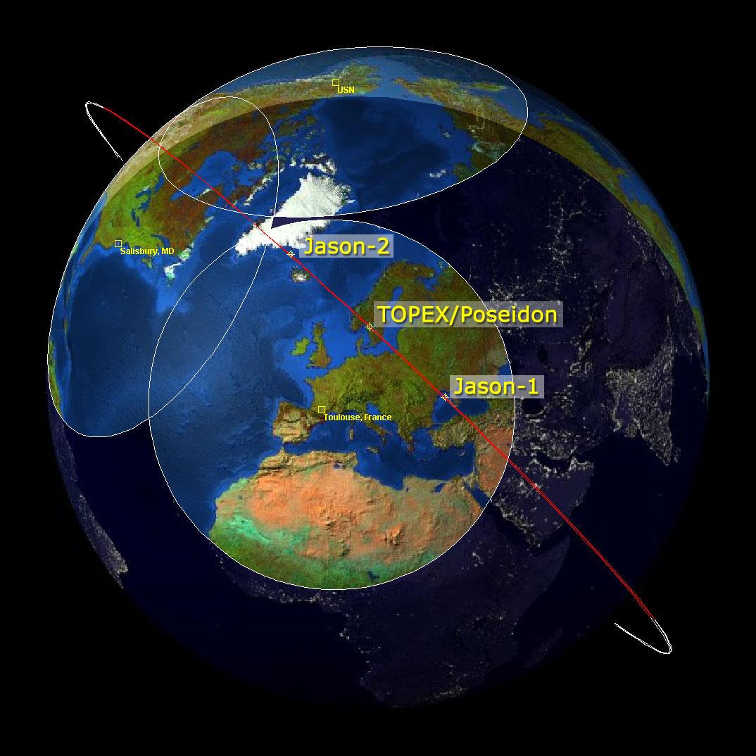
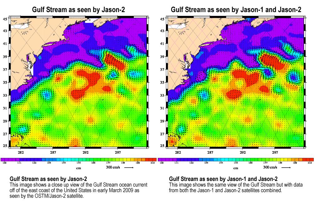
2009-03-26 | Earth |
Jason-1 OSTM/Jason-2 |
Altimeter |
3508x2479x3 |

|
|||||
|
|
2009-04-27 | Earth |
Jason-1 OSTM/Jason-2 |
Altimeter |
1010x654x3 |
|
|||||
|
|
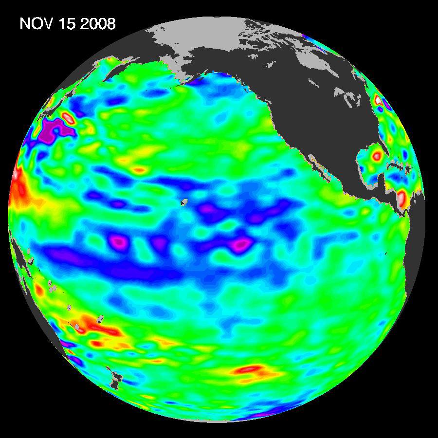
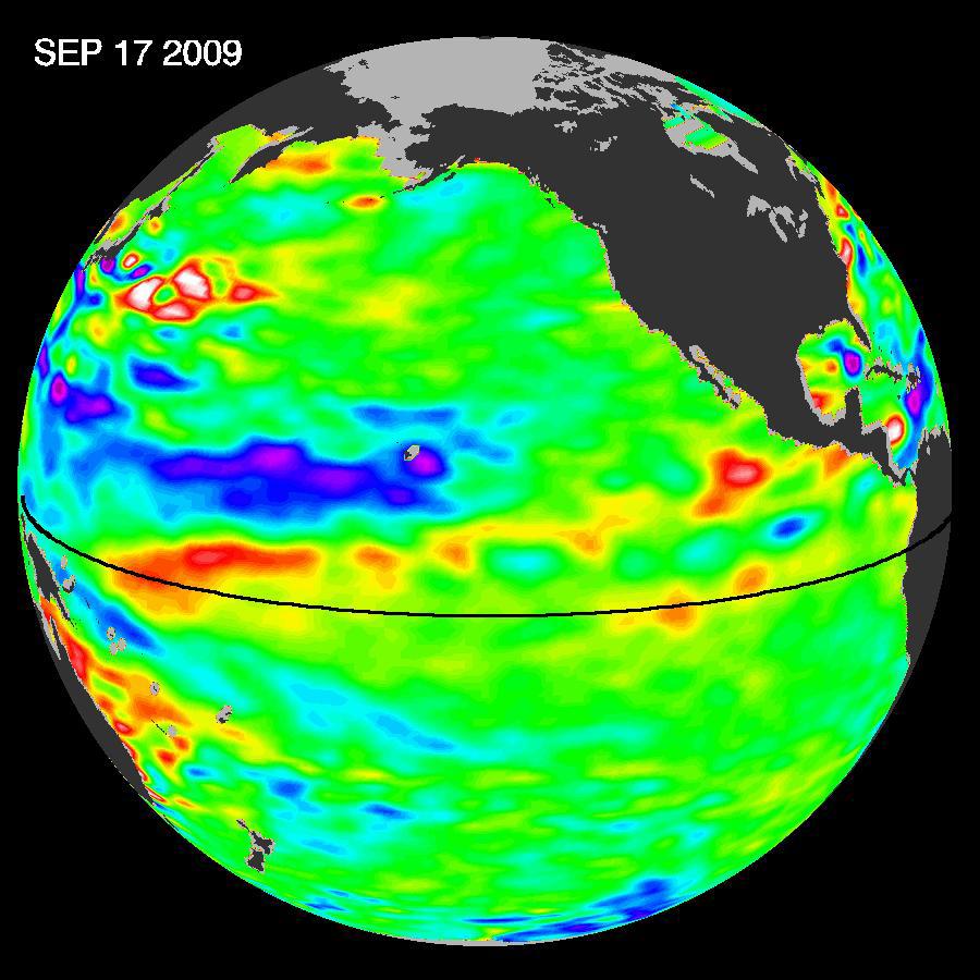
2009-10-29 | Earth |
OSTM/Jason-2 |
Altimeter |
900x900x3 |
|
|||||
|
|
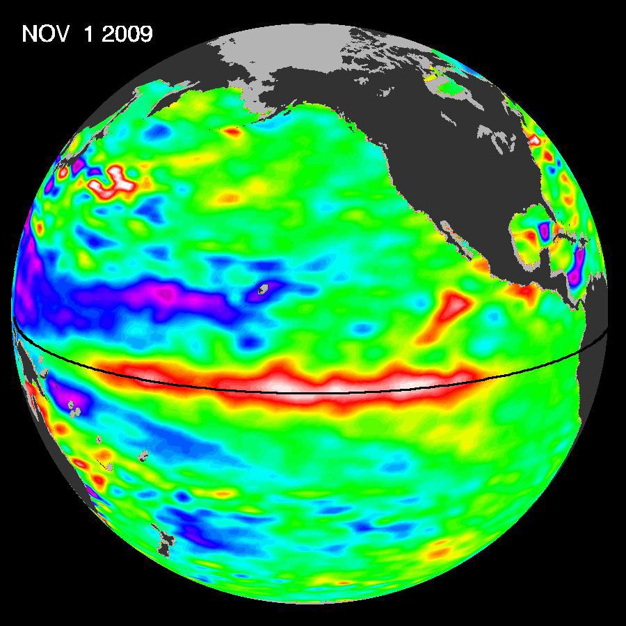
2009-11-12 | Earth |
OSTM/Jason-2 |
Altimeter |
900x900x3 |
|
|||||
|
|
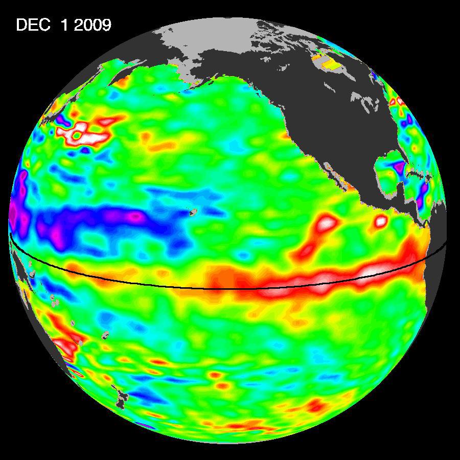
2009-12-17 | Earth |
OSTM/Jason-2 |
Altimeter |
900x900x3 |
|
|||||
|
|
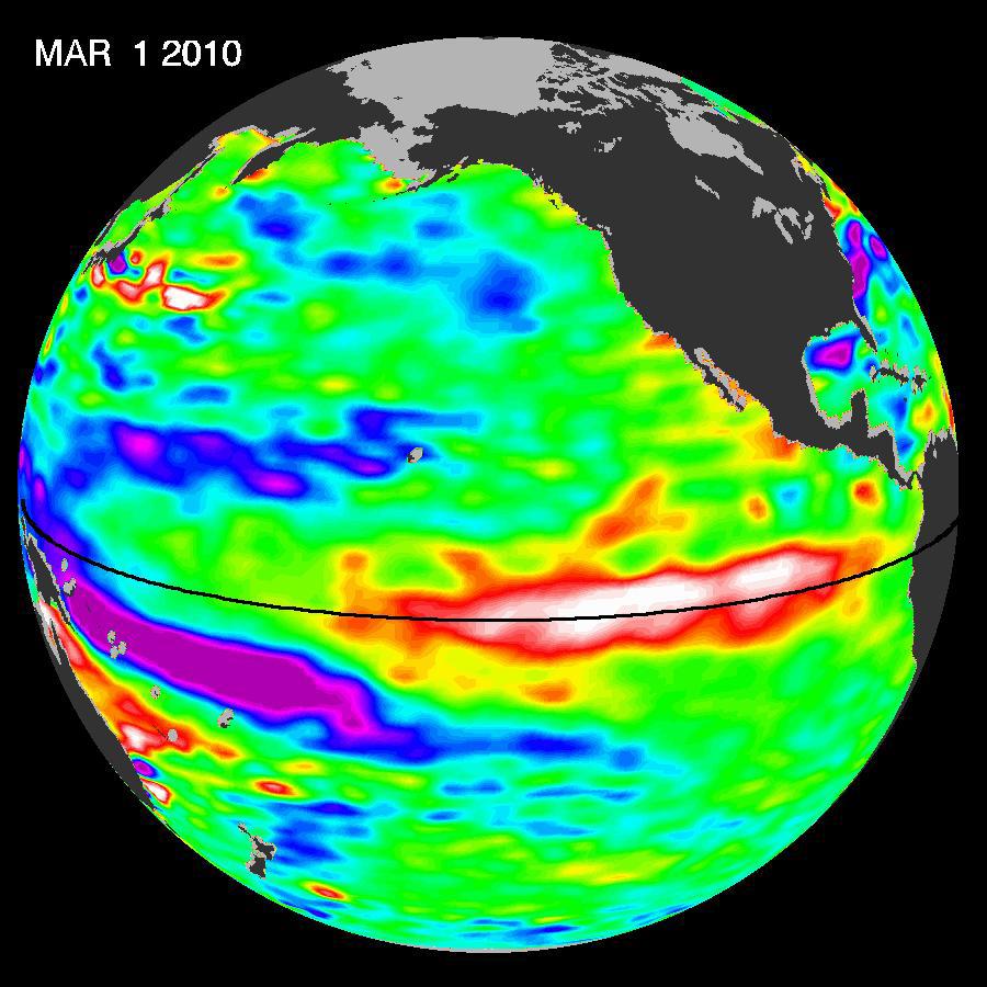
2010-03-16 | Earth |
OSTM/Jason-2 |
Altimeter |
900x900x3 |
|
|||||
|
|
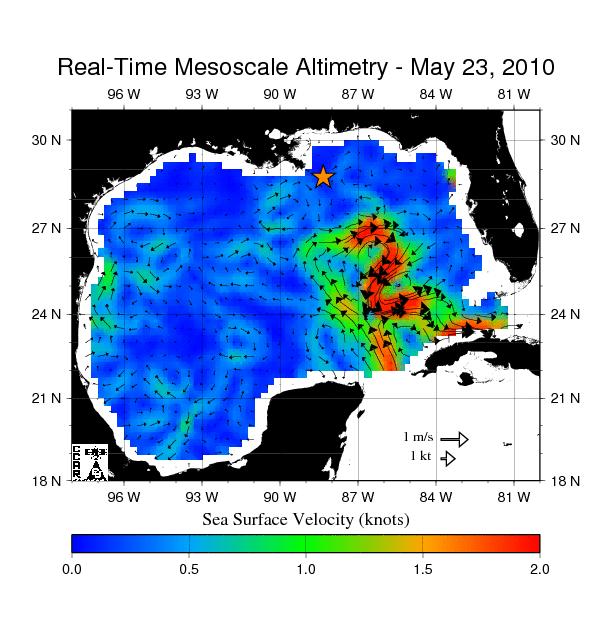
2010-05-24 | Earth |
OSTM/Jason-2 |
Altimeter |
612x627x3 |

|
|||||
|
|
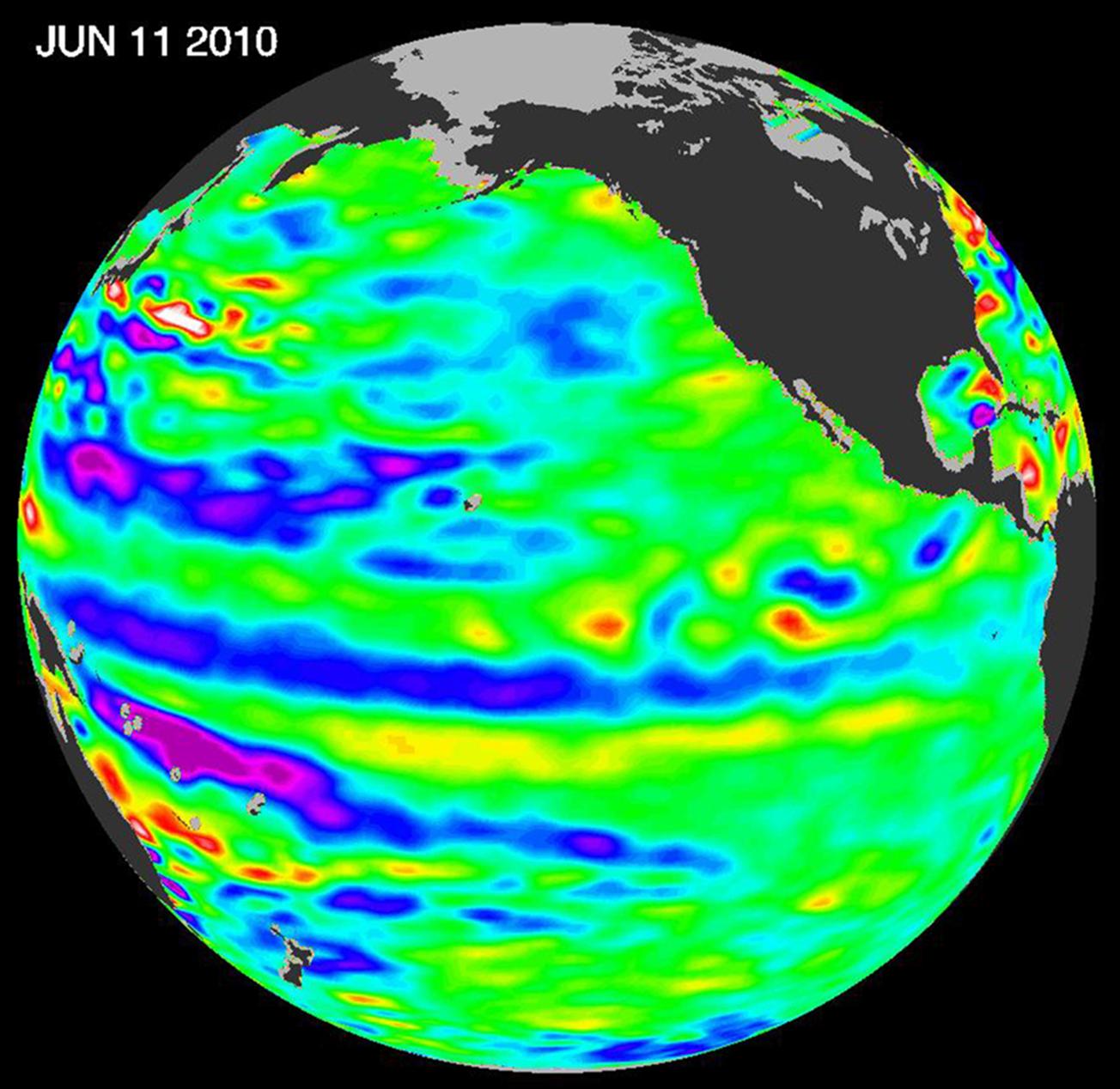
2010-06-22 | Earth |
OSTM/Jason-2 |
Altimeter |
1304x1268x3 |
|
|||||
|
|
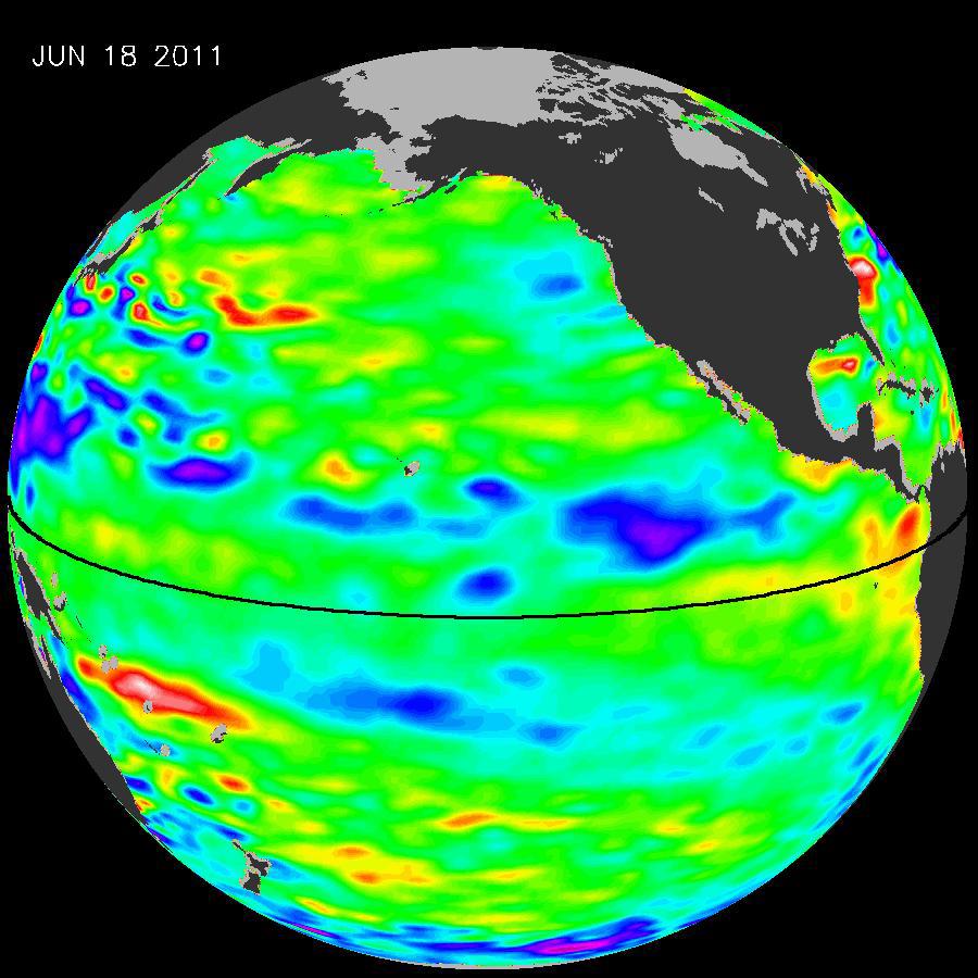
2011-07-06 | Earth |
OSTM/Jason-2 |
Altimeter |
900x900x3 |
|
|||||
|
|
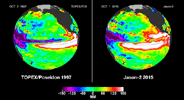
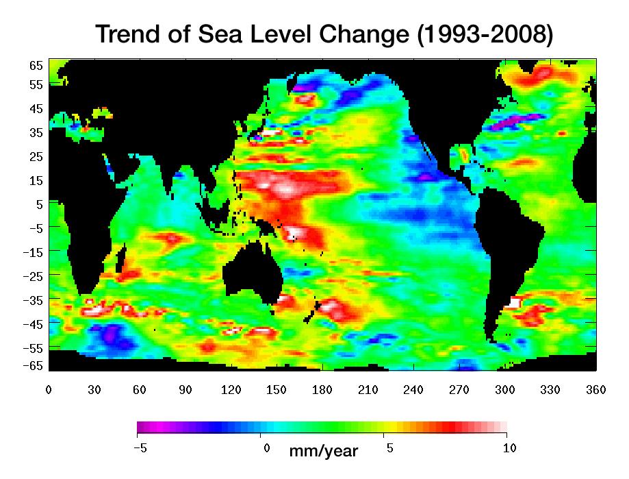
2012-10-17 | Earth |
Jason-1 (Topex/Poseidon) OSTM/Jason-2 |
Altimeter |
1384x858x3 |
|
|||||
|
|
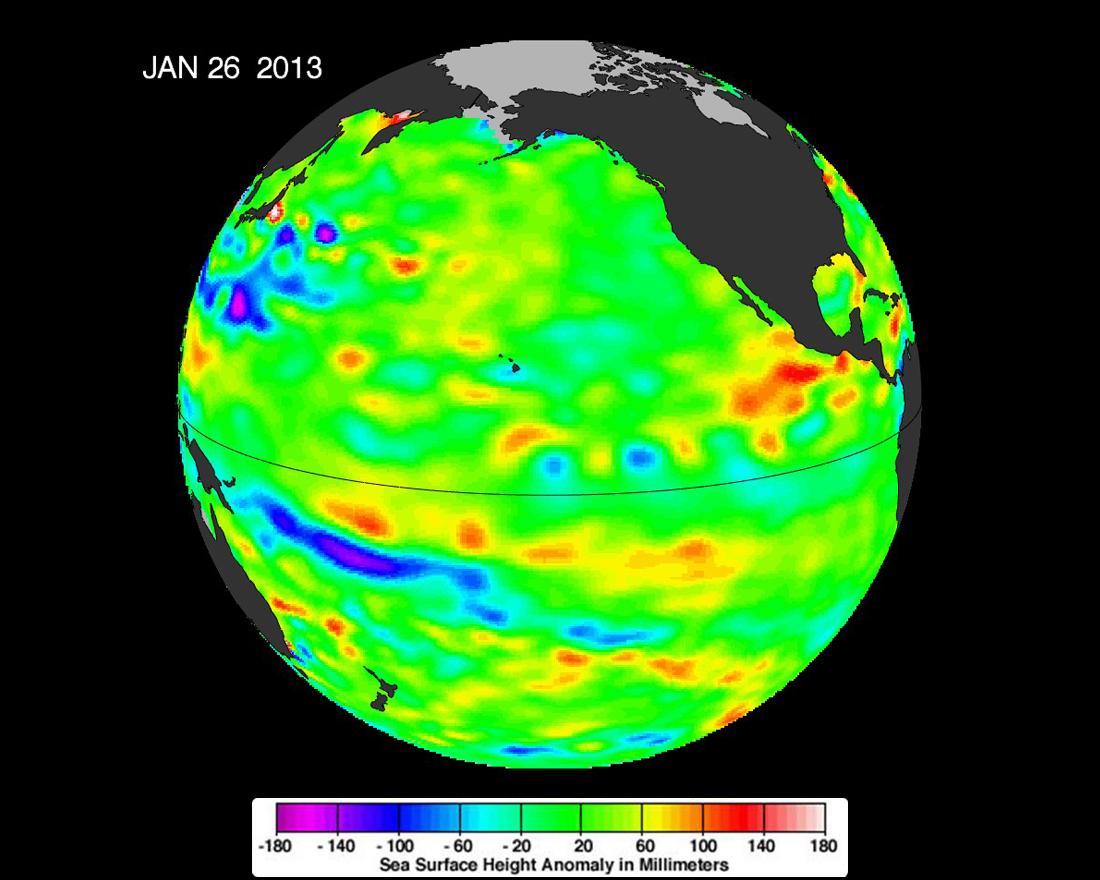
2013-02-07 | Earth |
OSTM/Jason-2 |
Altimeter |
1100x880x3 |
|
|||||
|
|
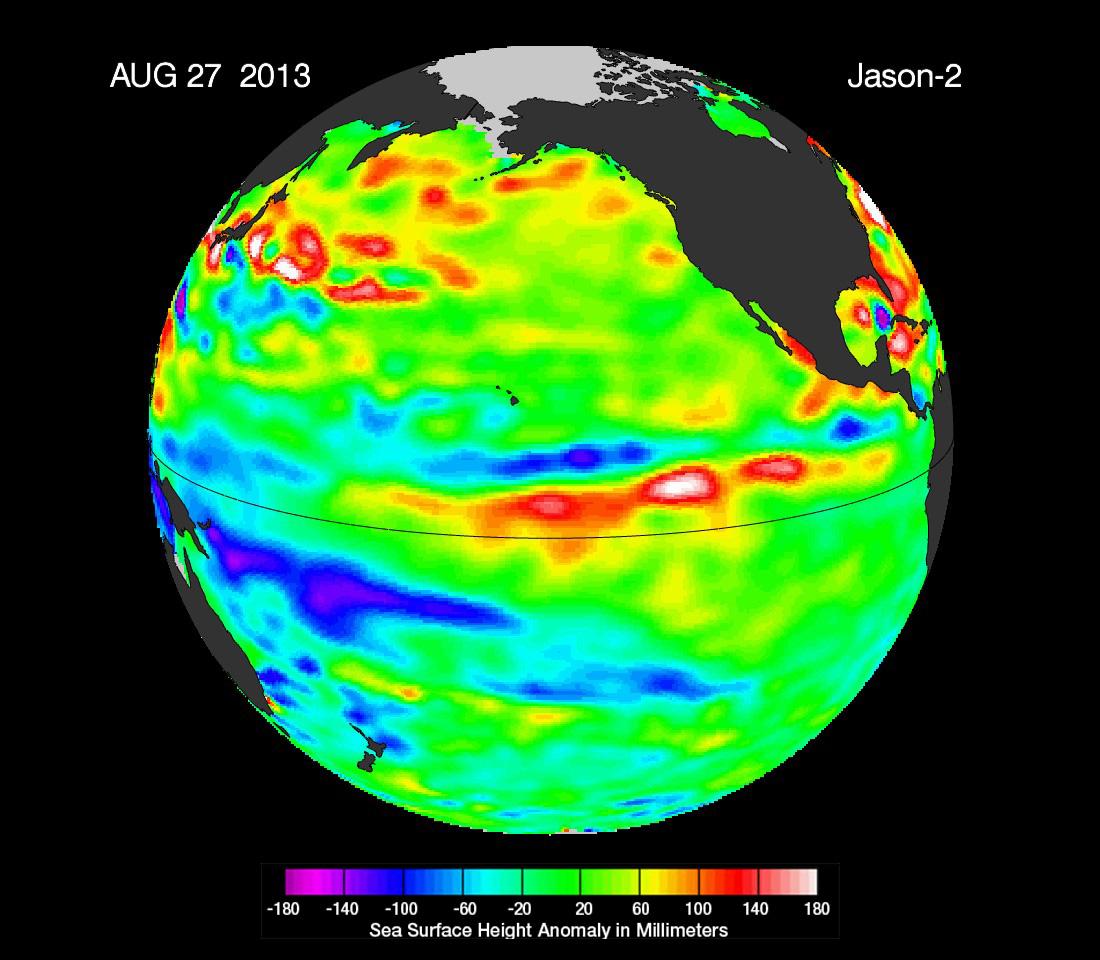
2013-09-09 | Earth |
OSTM/Jason-2 |
Altimeter |
1100x960x3 |
|
|||||
|
|
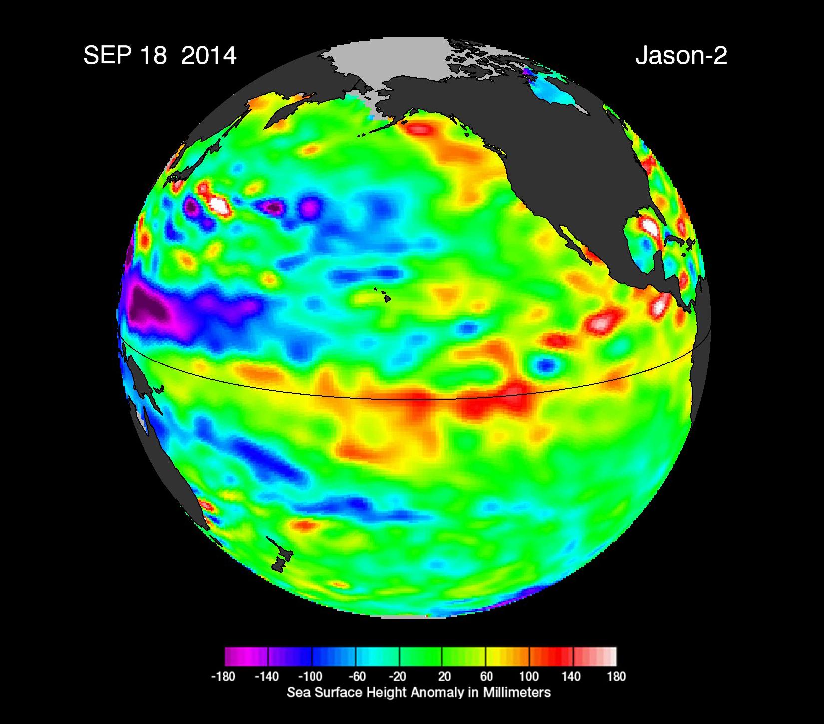
2014-09-22 | Earth |
OSTM/Jason-2 |
Altimeter |
1650x1450x3 |
|
|||||
|
|
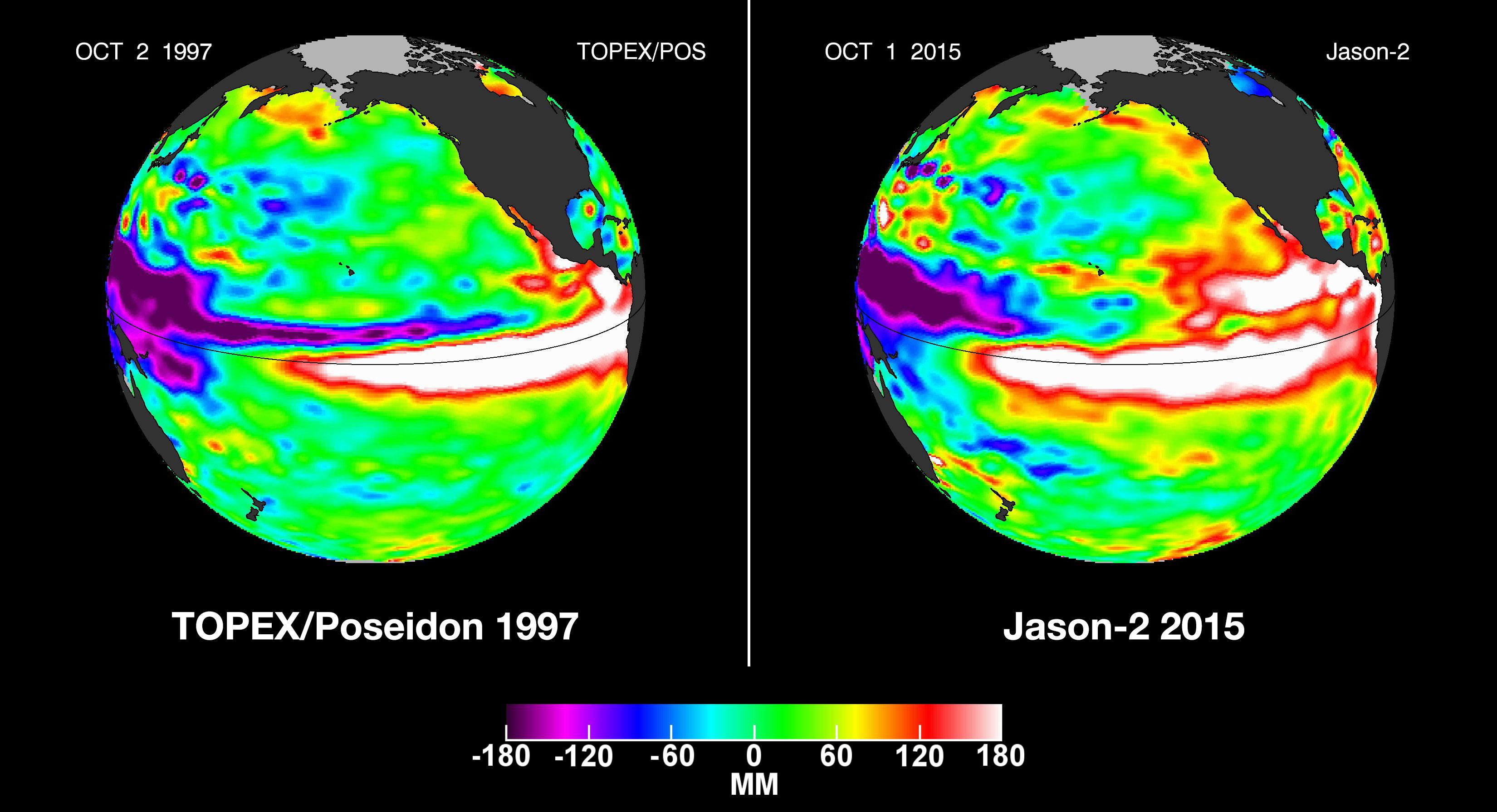
2015-10-19 | Earth |
OSTM/Jason-2 |
Altimeter |
3300x1791x3 |
|
|||||
|
|
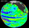
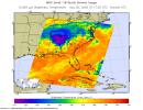
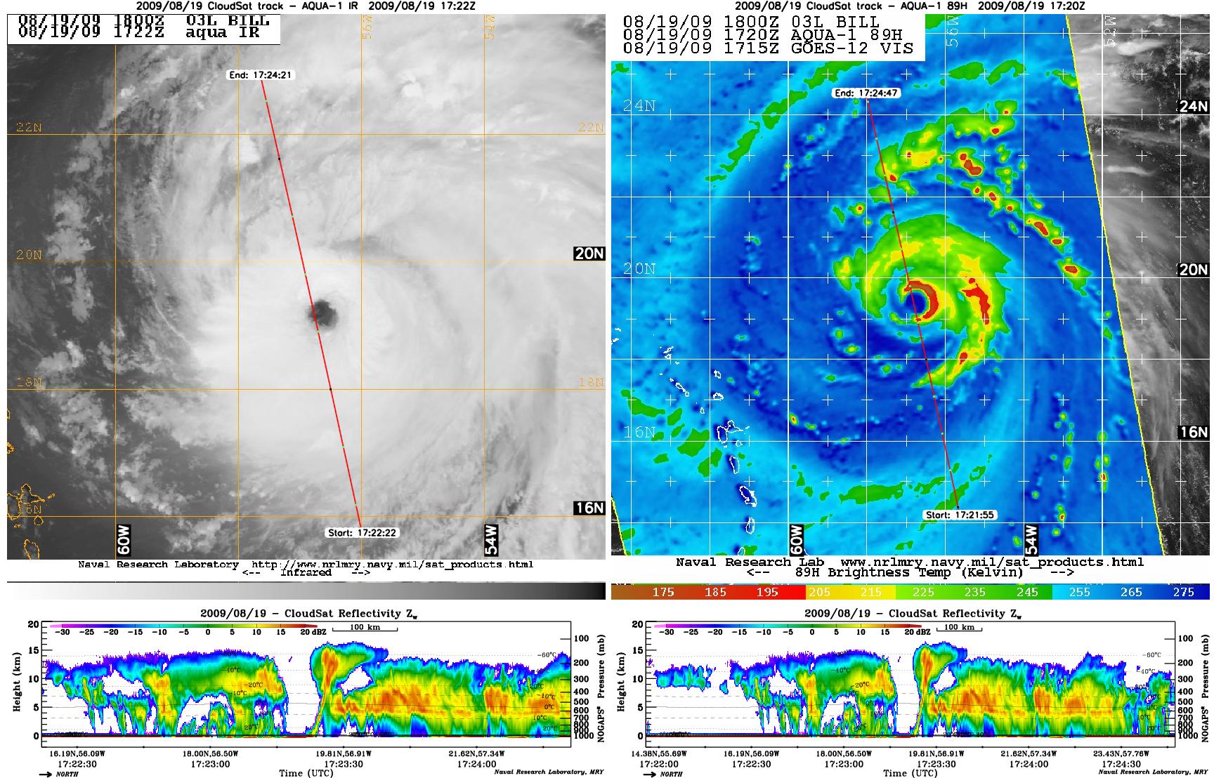
2009-08-21 | Earth |
CloudSat |
AMSR-E Cloud Profiling Radar (CPR) MODIS |
1728x1108x3 |
|
|||||
|
|
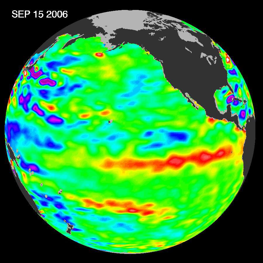
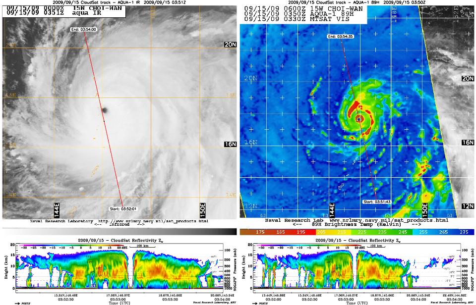
2009-09-15 | Earth |
CloudSat |
AMSR-E Cloud Profiling Radar (CPR) MODIS |
960x616x3 |
|
|||||
|
|
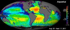
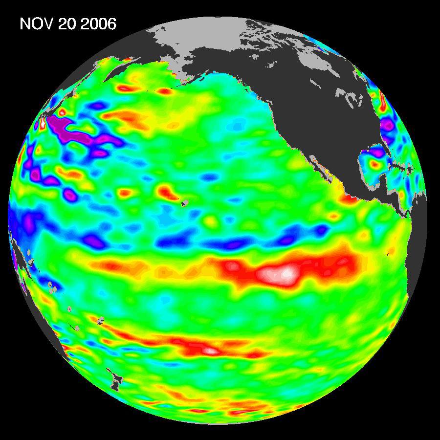
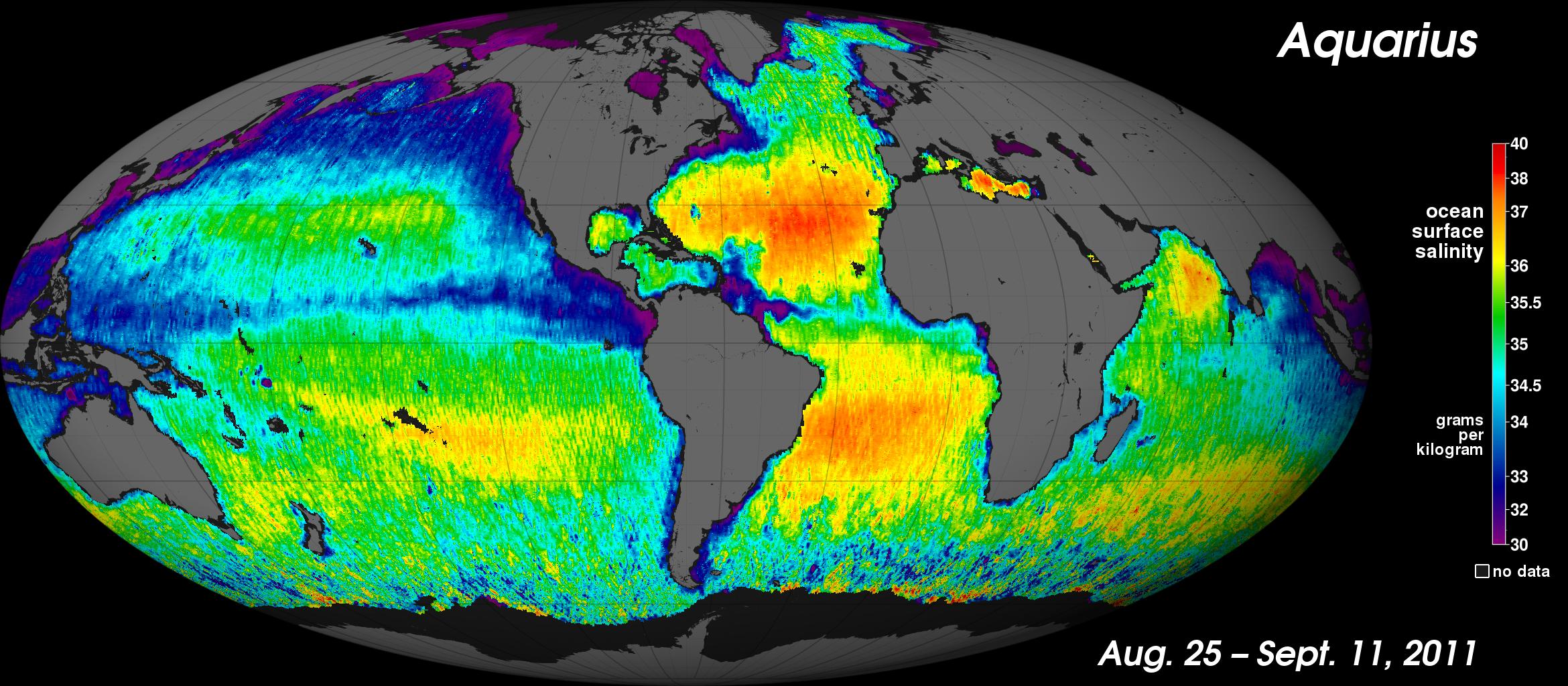
2011-09-22 | Earth |
Aquarius |
Aquarius |
2340x1024x3 |
|
|||||
|
|
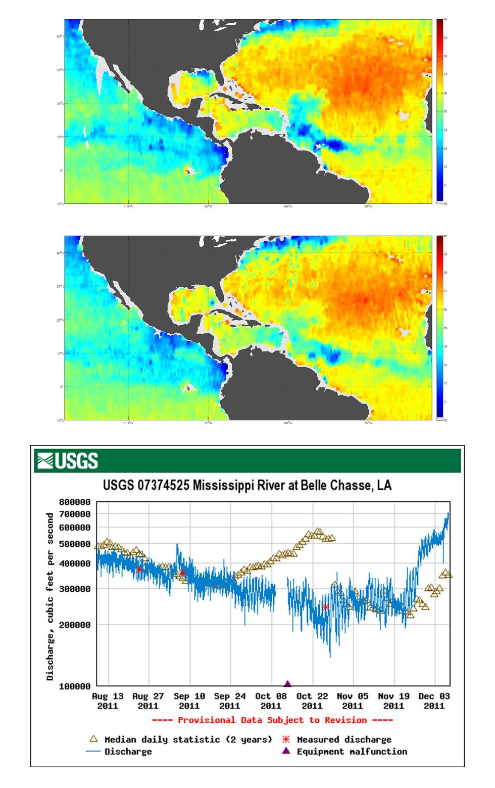
2011-12-07 | Earth |
Aquarius |
Aquarius |
980x1558x3 |
|
|||||
|
|
2012-06-12 | Earth |
Aquarius |
Aquarius |
3300x2550x3 |
|
|||||
|
|
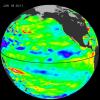
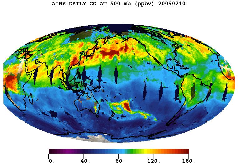
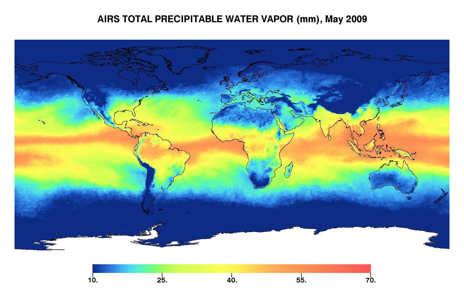
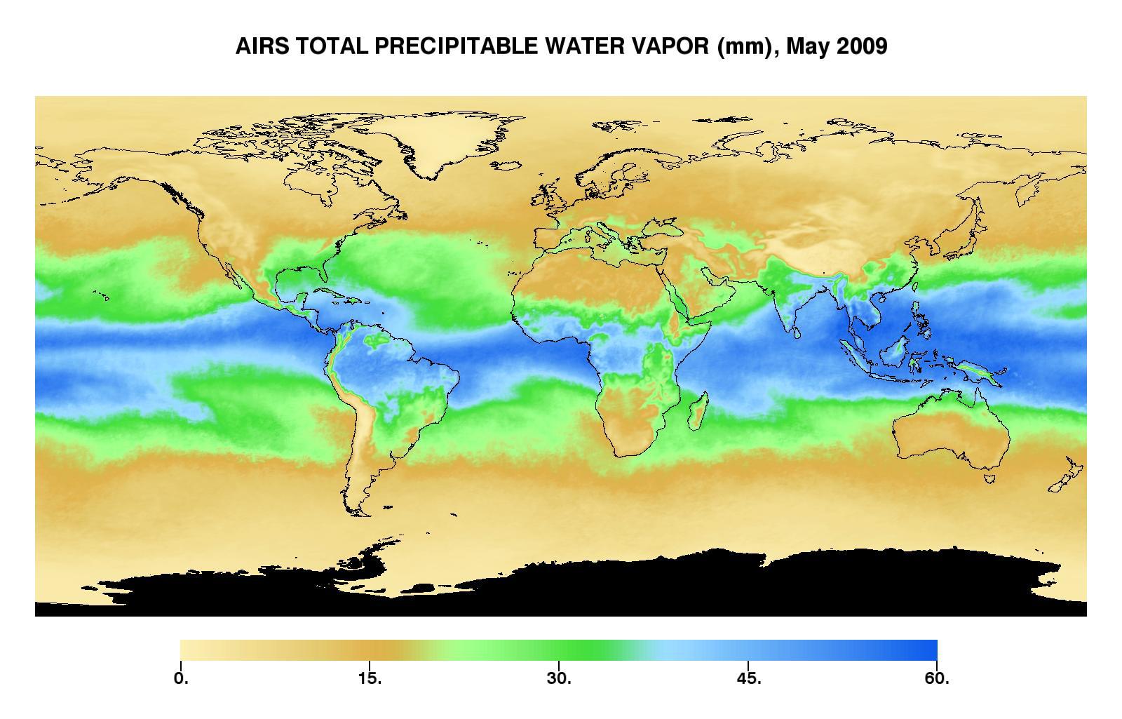
2002-06-14 | Earth |
Aqua |
AIRS |
2144x1184x3 |
|
|||||
|
|
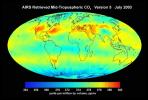
2002-07-03 | Earth |
Aqua |
AIRS |
362x814x3 |
|
|
|||||
|
|
2002-07-13 | Earth |
Aqua |
AIRS |
1536x1536x3 |
|
|||||
|
|
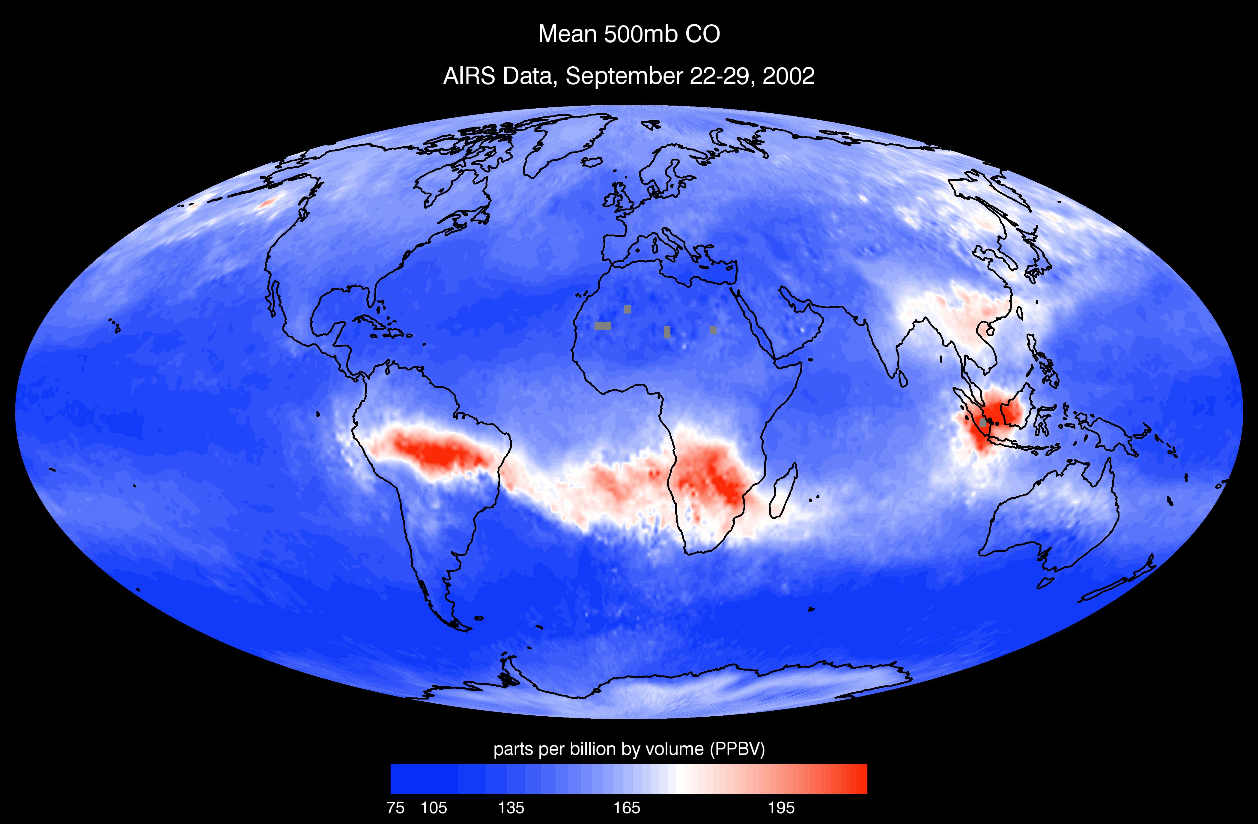
2002-09-26 | Earth |
Aqua |
AIRS |
674x740x3 |
|
|||||
|
|
2002-11-13 | Earth |
Aqua |
AIRS |
960x1076x3 |
|
|||||
|
|
2002-10-02 | Earth |
Aqua |
AIRS |
699x419x3 |

|
|||||
|
|
2002-12-19 | Earth |
Aqua |
AIRS |
1280x1280x3 |
|
|||||
|
|
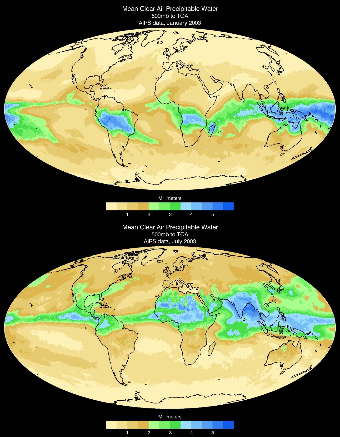
2003-03-11 | Earth |
Aqua |
AIRS |
1003x946x3 |

|
|||||
|
|
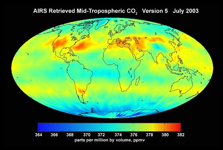
2003-06-02 | Earth |
Aqua |
AIRS |
1437x921x3 |
|
|||||
|
|
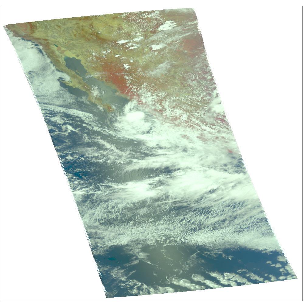
2003-09-18 | Earth |
Aqua |
AIRS |
489x471x3 |
|
|||||
|
|
2003-09-20 | Earth |
Aqua |
AIRS |
500x500x3 |
|
|||||
|
|
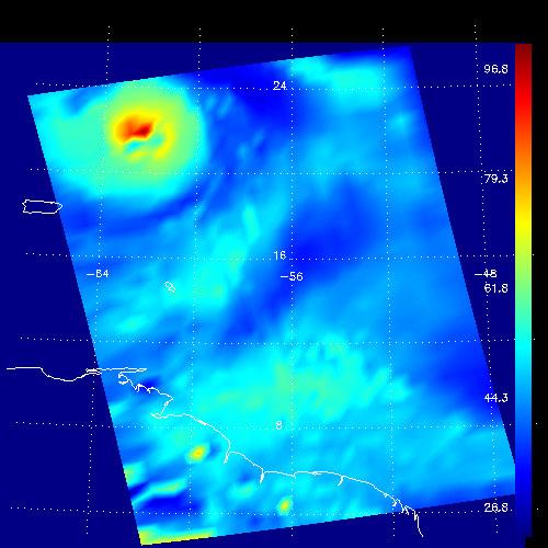
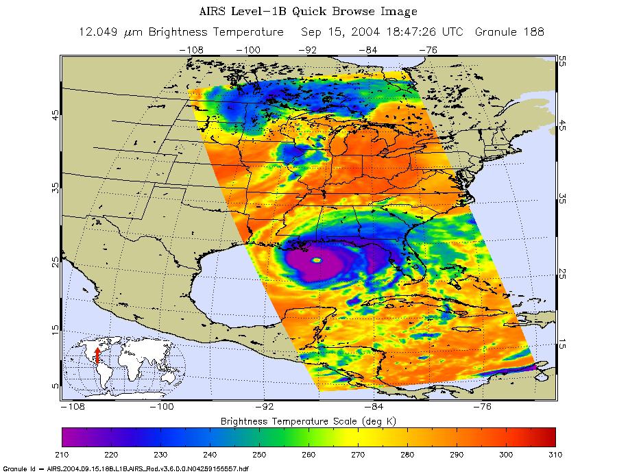
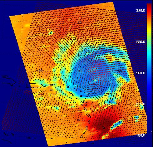
2004-09-15 | Earth |
Aqua |
AIRS |
900x695x3 |
|
|||||
|
|
2004-08-30 | Earth |
Aqua |
AIRS |
500x342x3 |
|
|||||
|
|
2004-08-30 | Earth |
Aqua |
AIRS |
490x471x3 |
|
|||||
|
|
2004-07-14 | Earth |
Aqua |
AIRS |
1000x1000x3 |
|
|||||
|
|
2004-07-23 | Earth |
Aqua |
AIRS |
1000x1000x3 |
|
|||||
|
|
2004-07-26 | Earth |
Aqua |
AIRS |
1000x1000x3 |
|
|||||
|
|
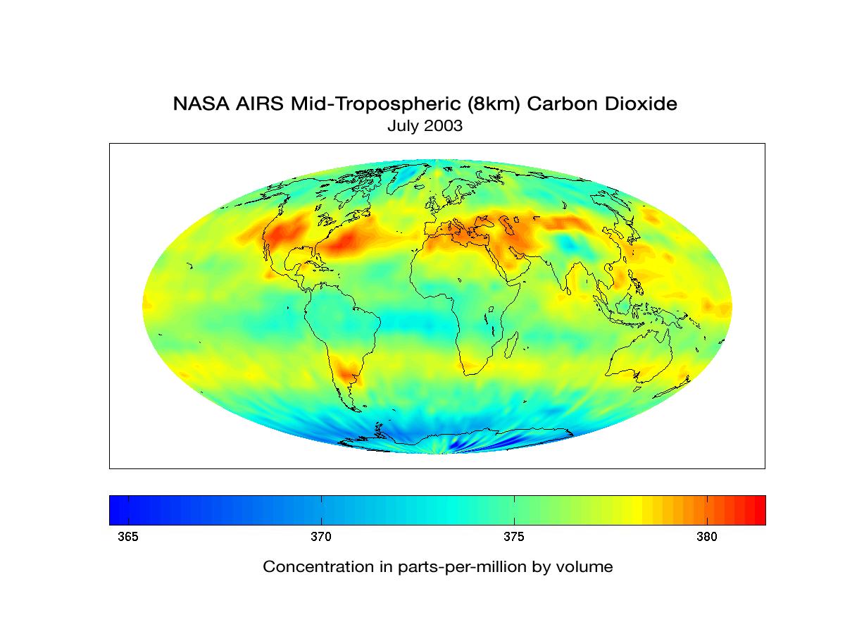
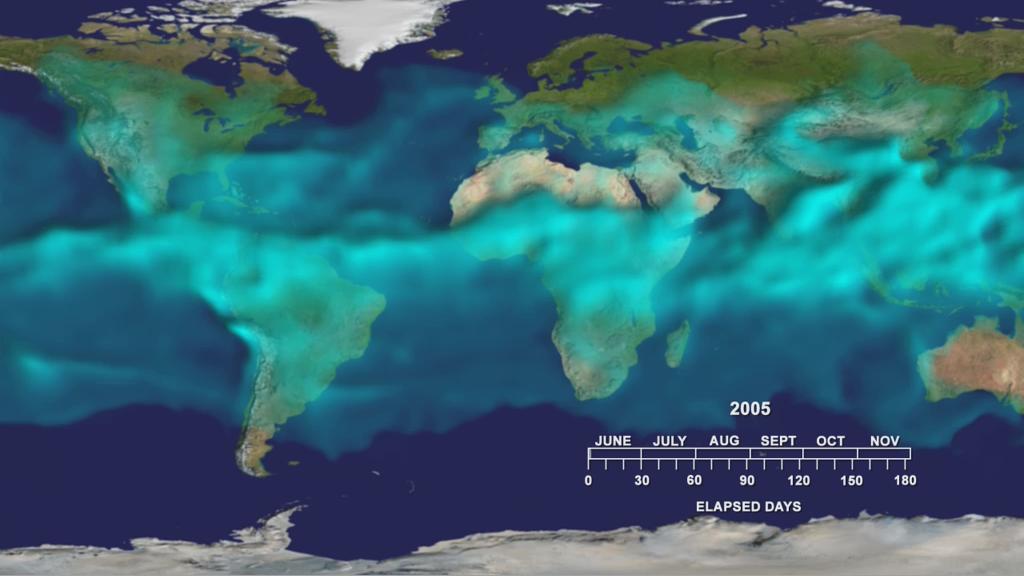
2005-08-24 | Earth |
Aqua |
AIRS |
3200x2400x3 |
|
|||||
|
|
2005-08-30 | Earth |
Aqua |
AIRS |
900x695x3 |
|
|||||
|
|
2004-08-03 | Earth |
Aqua |
AIRS |
792x998x3 |
|
|||||
|
|
2004-08-12 | Earth |
Aqua |
AIRS |
900x695x3 |
|
|||||
|
|
2006-07-20 | Earth |
Aqua |
AIRS |
900x695x3 |
|
|||||
|
|
2006-08-10 | Earth |
Aqua |
AIRS |
900x695x3 |
|
|||||
|
|
2007-01-19 | Earth |
Aqua |
AIRS |
504x360x3 |
|
|||||
|
|
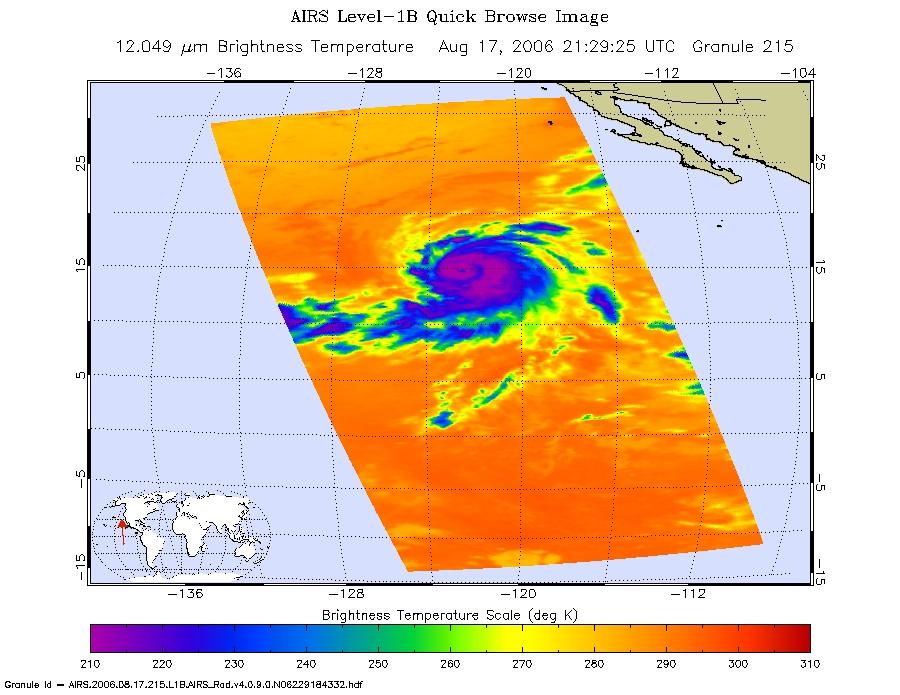
2006-08-17 | Earth |
Aqua |
AIRS |
900x695x3 |
|
|||||
|
|
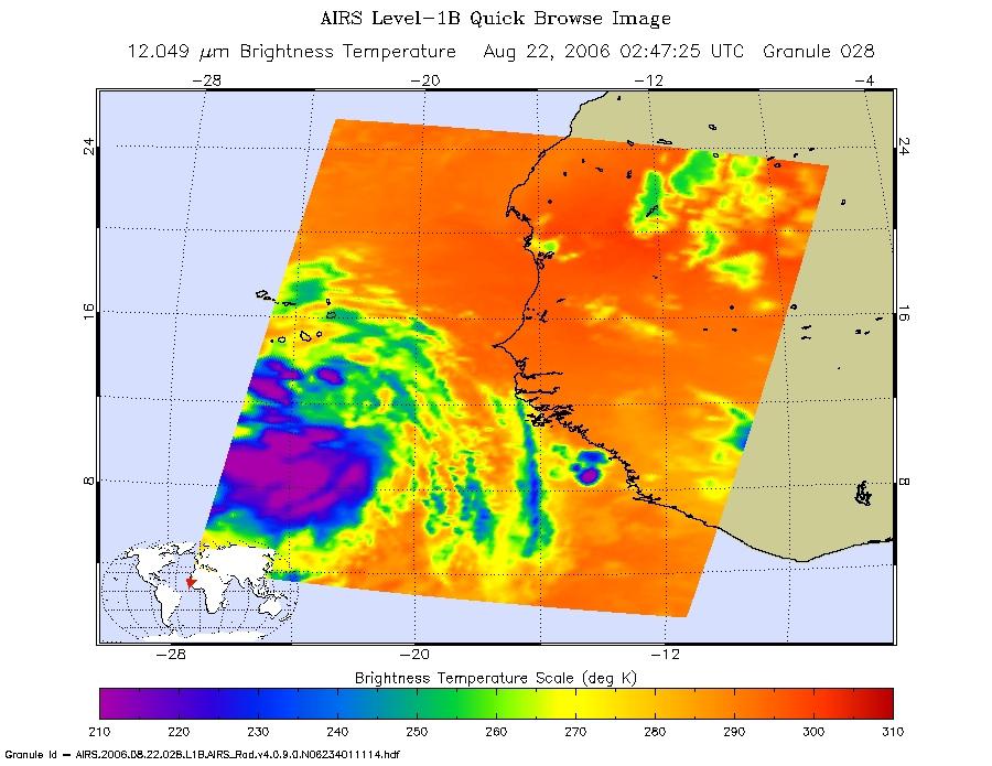
2006-08-22 | Earth |
Aqua |
AIRS |
900x695x3 |
|
|||||
|
|
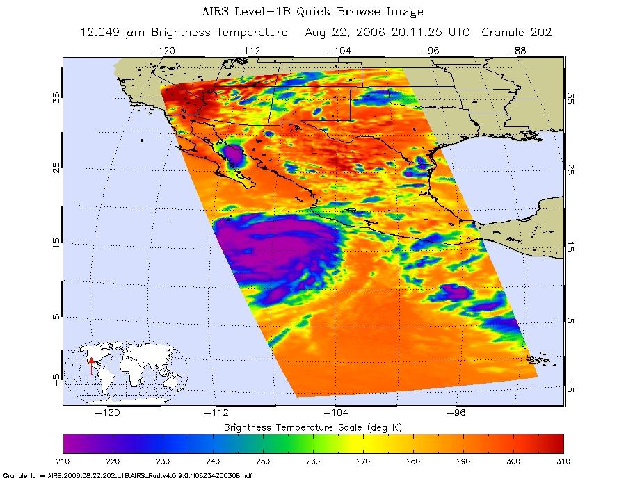
2006-08-22 | Earth |
Aqua |
AIRS |
900x695x3 |

|
|||||
|
|
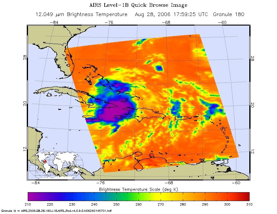
2006-08-28 | Earth |
Aqua |
AIRS |
900x695x3 |
|
|||||
|
|
2006-08-29 | Earth |
Aqua |
AIRS |
900x695x3 |
|
|||||
|
|
2006-09-03 | Earth |
Aqua |
AIRS |
900x695x3 |
|
|||||
|
|
2002-09-08 | Earth |
Aqua |
AIRS |
641x469x3 |
|
|||||
|
|
2005-07-15 | Earth |
Aqua |
AIRS |
480x187x3 |
|
|||||
|
|
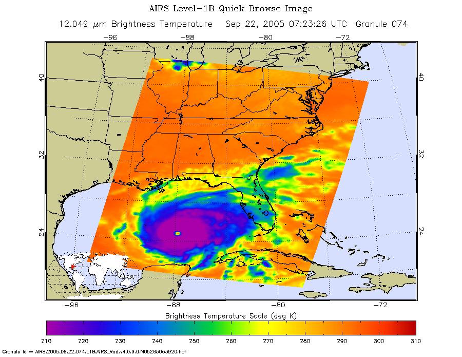
2005-09-22 | Earth |
Aqua |
AIRS |
900x695x3 |
|
|||||
|
|
2007-05-18 | Earth |
Aqua |
AIRS |
1200x900x3 |

|
|||||
|
|
2007-07-24 | Earth |
Aqua |
AIRS |
6444x5172x3 |
|
|||||
|
|
2007-07-24 | Earth |
Aqua |
AIRS |
1980x1524x3 |
|
|||||
|
|
2007-07-24 | Earth |
Aqua |
AIRS |
2500x1875x3 |
|
|||||
|
|
2007-07-24 | Earth |
Aqua |
AIRS |
2931x2223x3 |
|
|||||
|
|
2007-07-24 | Earth |
Aqua |
AIRS |
2102x1276x3 |
|
|||||
|
|
2007-09-11 | Earth |
Aqua |
AIRS |
1280x720x3 |
|
|||||
|
|
2007-10-23 | Earth |
Aqua |
AIRS |
1000x1000x3 |
|
|||||
|
|
2008-03-12 | Earth |
Aqua |
AIRS |
4196x2747x3 |
|
|||||
|
|
2008-03-17 | Earth |
Aqua |
AIRS |
1428x1836x3 |
|
|||||
|
|
2007-05-16 | Earth |
Aqua |
AIRS |
720x486x3 |
|
|||||
|
|
2007-08-15 | Earth |
Aqua |
AIRS |
1000x1000x3 |
|
|||||
|
|
2007-08-15 | Earth |
Aqua |
AIRS |
1000x1000x3 |
|
|||||
|
|
2007-08-18 | Earth |
Aqua |
AIRS |
1000x1000x3 |
|
|||||
|
|
2007-09-03 | Earth |
Aqua |
AIRS |
900x695x3 |
|
|||||
|
|
2008-07-22 | Earth |
Aqua |
AIRS |
1026x577x3 |
|
|||||
|
|
2008-08-06 | Earth |
Aqua |
AIRS |
727x329x3 |
|
|||||
|
|
2008-08-13 | Earth |
Aqua |
AIRS |
321x239x3 |
|
|||||
|
|
2008-08-13 | Earth |
Aqua |
AIRS |
319x240x3 |
|
|||||
|
|
2008-08-14 | Earth |
Aqua |
AIRS |
640x480x3 |
|
|||||
|
|
2008-09-17 | Earth |
Aqua |
AIRS |
638x478x3 |

|
|||||
|
|
2008-09-22 | Earth |
Aqua |
AIRS |
1777x948x3 |
|
|||||
|
|
2008-09-24 | Earth |
Aqua |
AIRS |
5000x3750x3 |
|
|||||
|
|
2008-11-03 | Earth |
Aqua |
AIRS |
3840x2160x3 |
|
|||||
|
|
2008-11-18 | Earth |
Aqua |
AIRS |
1024x576x3 |
|
|||||
|
|
2009-02-19 | Earth |
Aqua |
AIRS |
764x522x3 |
|
|||||
|
|
2009-06-30 | Earth |
Aqua |
AIRS |
1600x1025x3 |
|
|||||
|
|
2009-06-30 | Earth |
Aqua |
AIRS |
1600x1025x3 |
|
|||||
|
|
2009-06-30 | Earth |
Aqua |
AIRS |
1600x1025x3 |
|
|||||
|
|
2009-09-04 | Earth |
Aqua |
AIRS |
640x500x3 |
|
|||||
|
|
2009-09-24 | Earth |
Aqua |
AIRS |
1000x1000x3 |
|
|||||
|
|
2009-11-09 | Earth |
Aqua |
AIRS |
1460x1179x3 |
|
|||||
|
|
2010-04-15 | Earth |
Aqua |
AIRS |
900x695x3 |
|
|||||
|
|
2010-05-17 | Earth |
Aqua |
AIRS |
2417x1887x3 |
|
|||||
|
|
2010-07-24 | Earth |
Terra |
AIRS |
900x695x3 |
|
|||||
|
|
2010-08-07 | Earth |
Terra |
AIRS |
3200x4800x3 |
|
|||||
|
|
2010-08-19 | Earth |
Terra |
AIRS |
2000x987x3 |
|
|||||
|
|
2010-08-19 | Earth |
Aqua |
AIRS |
1200x901x3 |

|
|||||

|
 |
|
|
|
|
|
|
|
|
|

|
| 1-100 | 101-200 | 201-300 | 301-400 | 401-500 | 501-600 | 601-700 | 701-800 | 801-900 | 901-1000 |
| Currently displaying images: 1201 - 1300 of 2595 |