 |  |
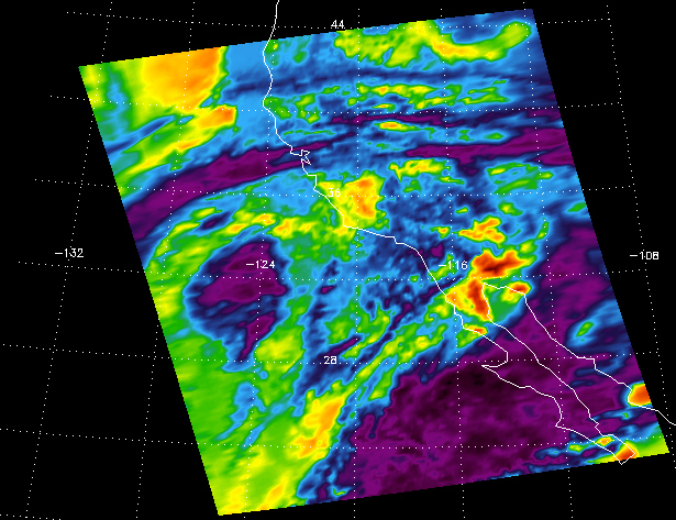
| AIRS infrared channel 1486 | AIRS infrared channel 2616 |
 Scale
Scale |  |
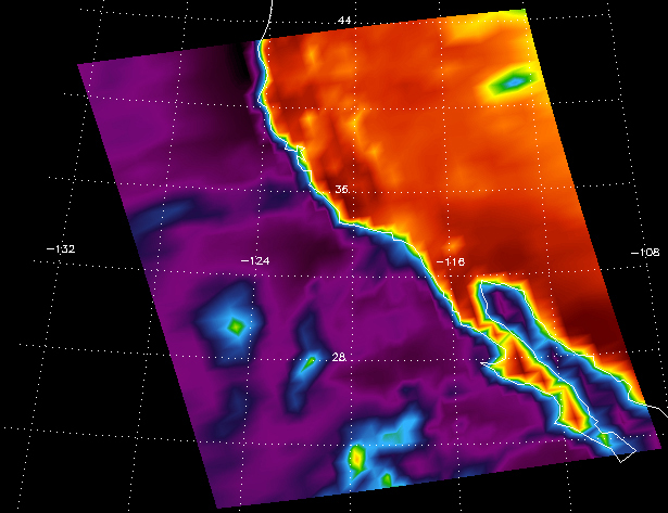
| AMSU-A microwave channel 2 | AMSU-A microwave channel 15 |
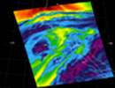
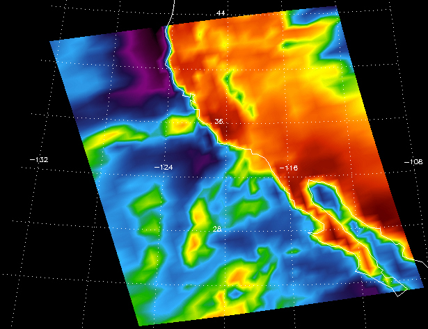
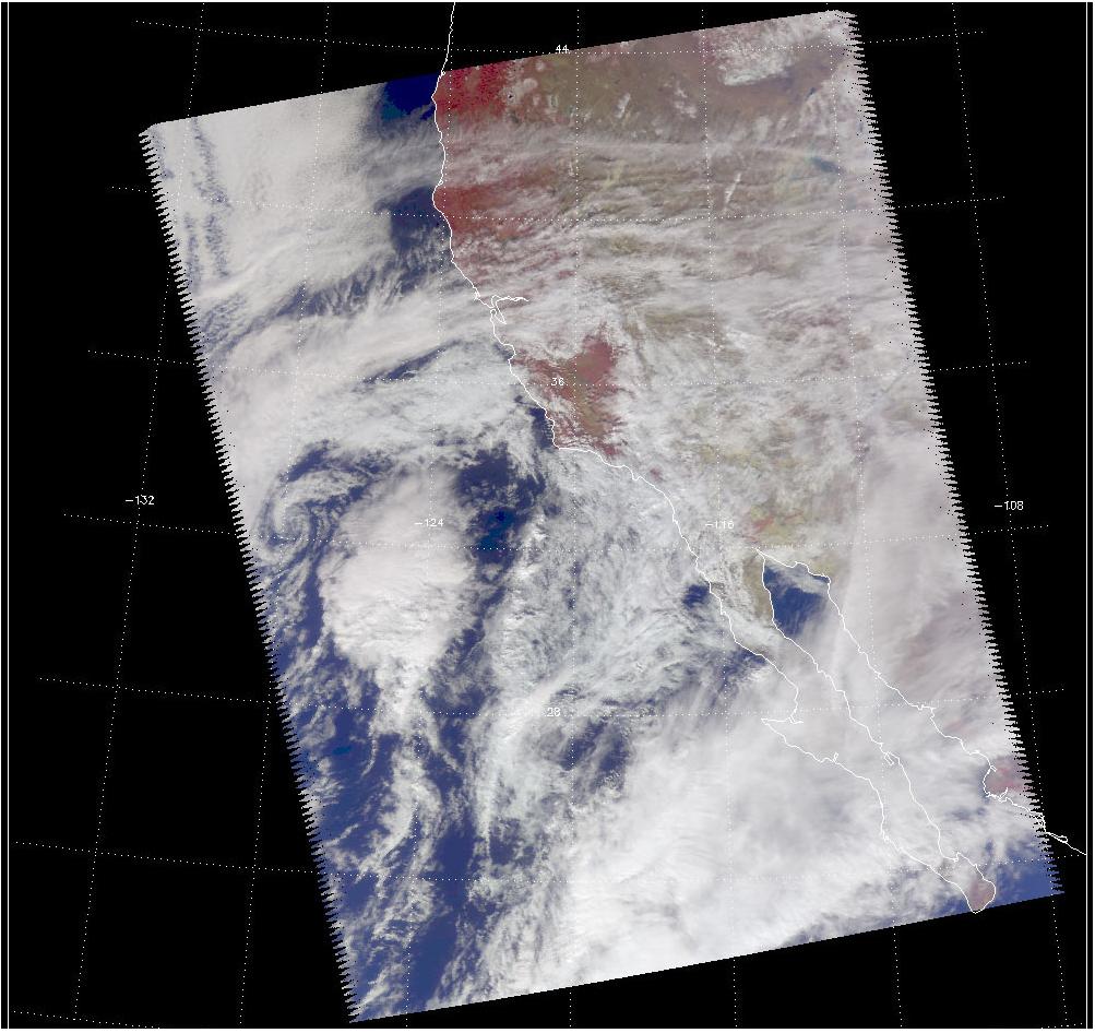
Looking as if they were tie-dyed, the images shown above of a recent California storm have meaning in their color. With cooler areas pushing to purple and warmer areas pushing to red, the images are a snapshot of a storm moving up from the lower latitudes.
The Vis/NIR image reveals three distinct very large "blooms" within the large cloud formation, which may be major convective cells. The images show a prominent squall line pointing nearly north-south that is approaching the coast, and a large isolated cloud formation almost due west. Both features have high cold cloud tops, according to the AIRS image, and both were probably a major source of intense rainfall. The AMSU-A microwave sensor reveals the warm land surface and the moisture below the cloud tops.
About AIRS
The Atmospheric Infrared Sounder, AIRS, in conjunction with the Advanced Microwave Sounding Unit, AMSU, senses emitted infrared and microwave radiation from Earth to provide a three-dimensional look at Earth's weather and climate. Working in tandem, the two instruments make simultaneous observations all the way down to Earth's surface, even in the presence of heavy clouds. With more than 2,000 channels sensing different regions of the atmosphere, the system creates a global, three-dimensional map of atmospheric temperature and humidity, cloud amounts and heights, greenhouse gas concentrations, and many other atmospheric phenomena. Launched into Earth orbit in 2002, the AIRS and AMSU instruments fly onboard NASA's Aqua spacecraft and are managed by NASA's Jet Propulsion Laboratory in Pasadena, Calif., under contract to NASA. JPL is a division of the California Institute of Technology in Pasadena.
More information about AIRS can be found at http://airs.jpl.nasa.gov.

