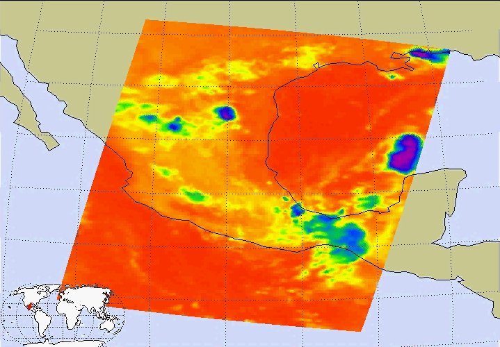
This image of tropical storm Bonnie was captured on August 11 at 1:30am CDT. Located in the Gulf of Mexico, the center of the storm is positioned about 280 miles south-southwest of the mouth of the Mississippi River. Bonnie is a small tropical storm with wind speeds sustained at 45 mph and extending 30 miles from the storm center. It is moving northward at 5 mph.
About the Movies
The major contribution to radiation (infrared light) that AIRS infrared channels sense comes from different levels in the atmosphere, depending upon the channel wavelength. To create the movies, a set of AIRS infrared channels were selected which probe the atmosphere at progressively deeper levels. If there were no clouds, the color in each frame would be nearly uniform until the Earth's surface is encountered. The tropospheric air temperature warms at a rate of 6 K (about 11 F) for each kilometer of descent toward the surface. Thus the colors would gradually change from cold to warm as the movie progresses.
Clouds block the infrared radiation. Thus wherever there are clouds we can penetrate no deeper in infrared. The color remains fixed as the movie progresses, for that area of the image is "stuck" to the cloud top temperature. The coldest temperatures around 220 K (about -65 F) come from altitudes of about 10 miles.
We therefore see in a 'surface channel' at the end of the movie, signals from clouds as cold as 220 K and from Earth's surface at 310 K (about 100 F). The very coldest clouds are seen in deep convection thunderstorms over land.
Images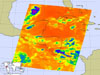
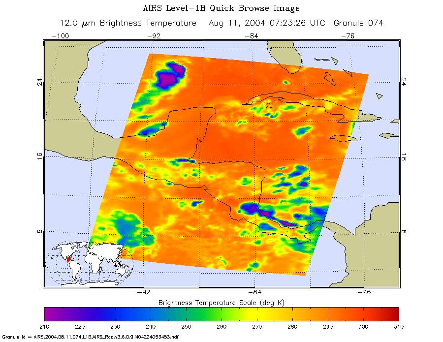
August 11, 2004
Infrared image.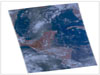
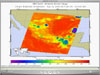
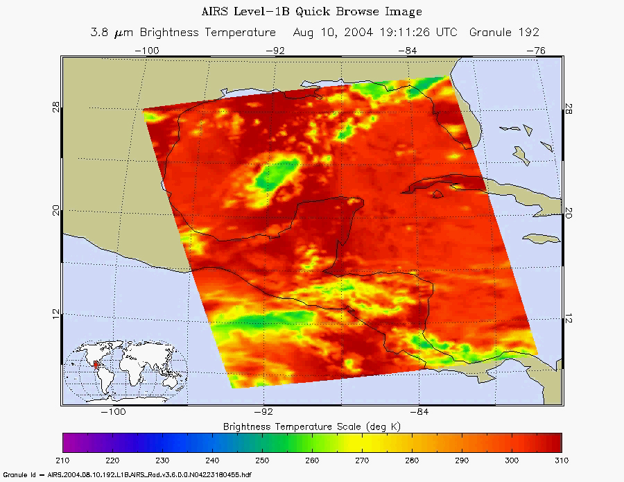
August 10, 2004
Daylight snapshot from AIRS visible/near-infrared sensor.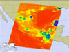
August 11, 2004
At this time, Bonnie is a small tropical storm with wind speeds sustained at 50 mph (85 km/h), and it moving northward at 6 mph.
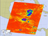
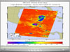
August 10, 2004
Infrared image. (Larger image not currently available.)Movies
Slice down the atmosphere with the AIRS infrared sensor.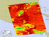
August 10, 2004, 1:30pm ET (Movie not currently available.)
August 10, 2004, 1:30am ET
August 9, 2004, 1:30pm ET.
About AIRS
The Atmospheric Infrared Sounder, AIRS, in conjunction with the Advanced Microwave Sounding Unit, AMSU, senses emitted infrared and microwave radiation from Earth to provide a three-dimensional look at Earth's weather and climate. Working in tandem, the two instruments make simultaneous observations all the way down to Earth's surface, even in the presence of heavy clouds. With more than 2,000 channels sensing different regions of the atmosphere, the system creates a global, three-dimensional map of atmospheric temperature and humidity, cloud amounts and heights, greenhouse gas concentrations, and many other atmospheric phenomena. Launched into Earth orbit in 2002, the AIRS and AMSU instruments fly onboard NASA's Aqua spacecraft and are managed by NASA's Jet Propulsion Laboratory in Pasadena, Calif., under contract to NASA. JPL is a division of the California Institute of Technology in Pasadena.
More information about AIRS can be found at http://airs.jpl.nasa.gov.
 Planetary Data System


