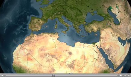
Click on the image for visualization
Four-Day Time SeriesA series of fires across Greece in August of 2007 burned 469,000 acres and claimed the lives of 65 people. The fires, in which an estimated 4,000 people lost their homes, mostly occurred in the southern part of the country.
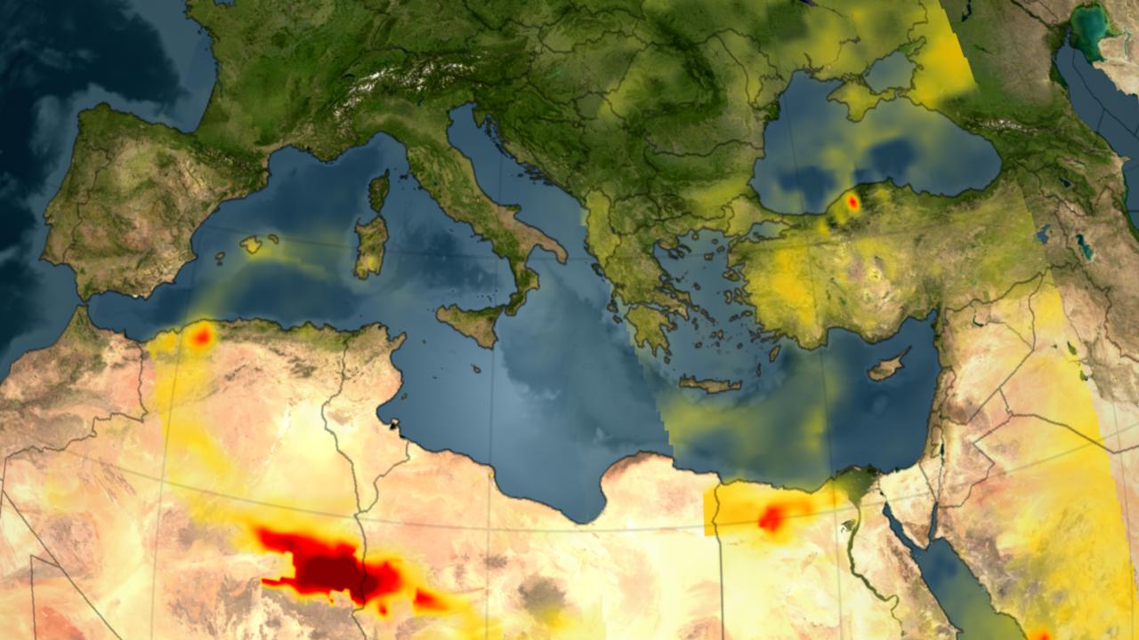
In the visualization (see above), the carbon monoxide signature from the fires in Greece is revealed in data retrieved by the Atmospheric Infrared Sounder, AIRS. Forest fires create large amounts of carbon monoxide. AIRS provides daily global maps of carbon monoxide from space, allowing scientists to follow the global transport of this gas day-to-day. The visualization covers data retrieved over the period from August 24-28, 2007, and shows the amount of CO that has risen into the broad layer within the free troposphere.
More carbon monoxide generally means more pollution, either natural from wildfires or from industrial and domestic sources.
Beginning August 24, a significant plume emanates from the extensive fires burning in Greece. This plume moves southeast across the Mediterranean Sea and over North Africa from August 24 to 28. It crosses to Africa and arcs westward over the Sahara Desert and continues to curl around over the Eastern Mediterranean toward Sardinia and Corsica.
About AIRS
The Atmospheric Infrared Sounder, AIRS, in conjunction with the Advanced Microwave Sounding Unit, AMSU, senses emitted infrared and microwave radiation from Earth to provide a three-dimensional look at Earth's weather and climate. Working in tandem, the two instruments make simultaneous observations all the way down to Earth's surface, even in the presence of heavy clouds. With more than 2,000 channels sensing different regions of the atmosphere, the system creates a global, three-dimensional map of atmospheric temperature and humidity, cloud amounts and heights, greenhouse gas concentrations, and many other atmospheric phenomena. Launched into Earth orbit in 2002, the AIRS and AMSU instruments fly onboard NASA's Aqua spacecraft and are managed by NASA's Jet Propulsion Laboratory in Pasadena, Calif., under contract to NASA. JPL is a division of the California Institute of Technology in Pasadena.
More information about AIRS can be found at http://airs.jpl.nasa.gov.
 Planetary Data System


