|
Your search criteria found 2277 images Target is Earth |
| My List |
Addition Date
|
Target | Mission | Instrument | Size |

|
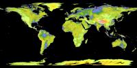
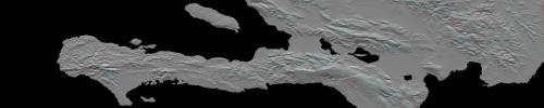
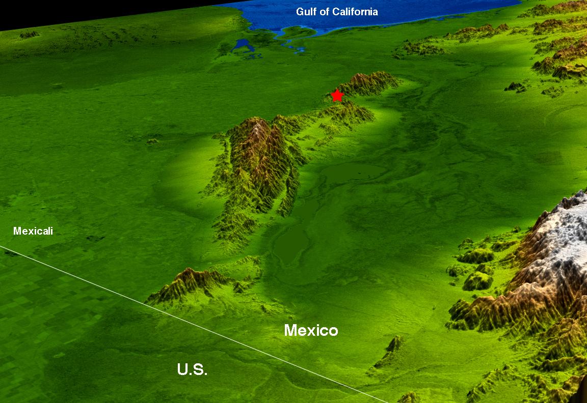
2009-04-01 | Earth |
Shuttle Radar Topography Mission (SRTM) |
C-Band Radar |
1250x1440x1 |
|
|||||
|
|
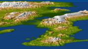
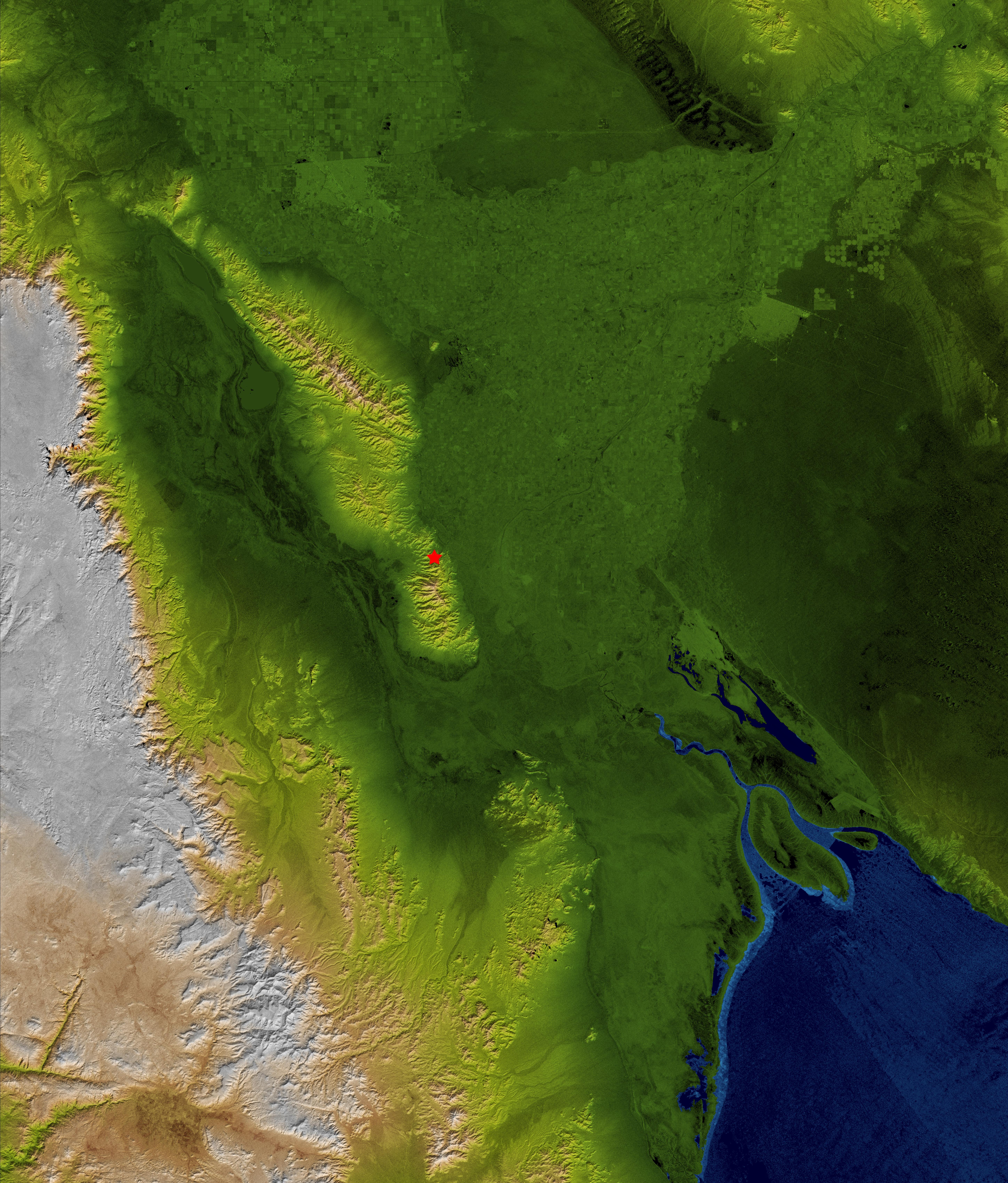
2009-04-03 | Earth |
Terra |
ASTER |
3108x4319x3 |
|
|||||
|
|
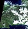
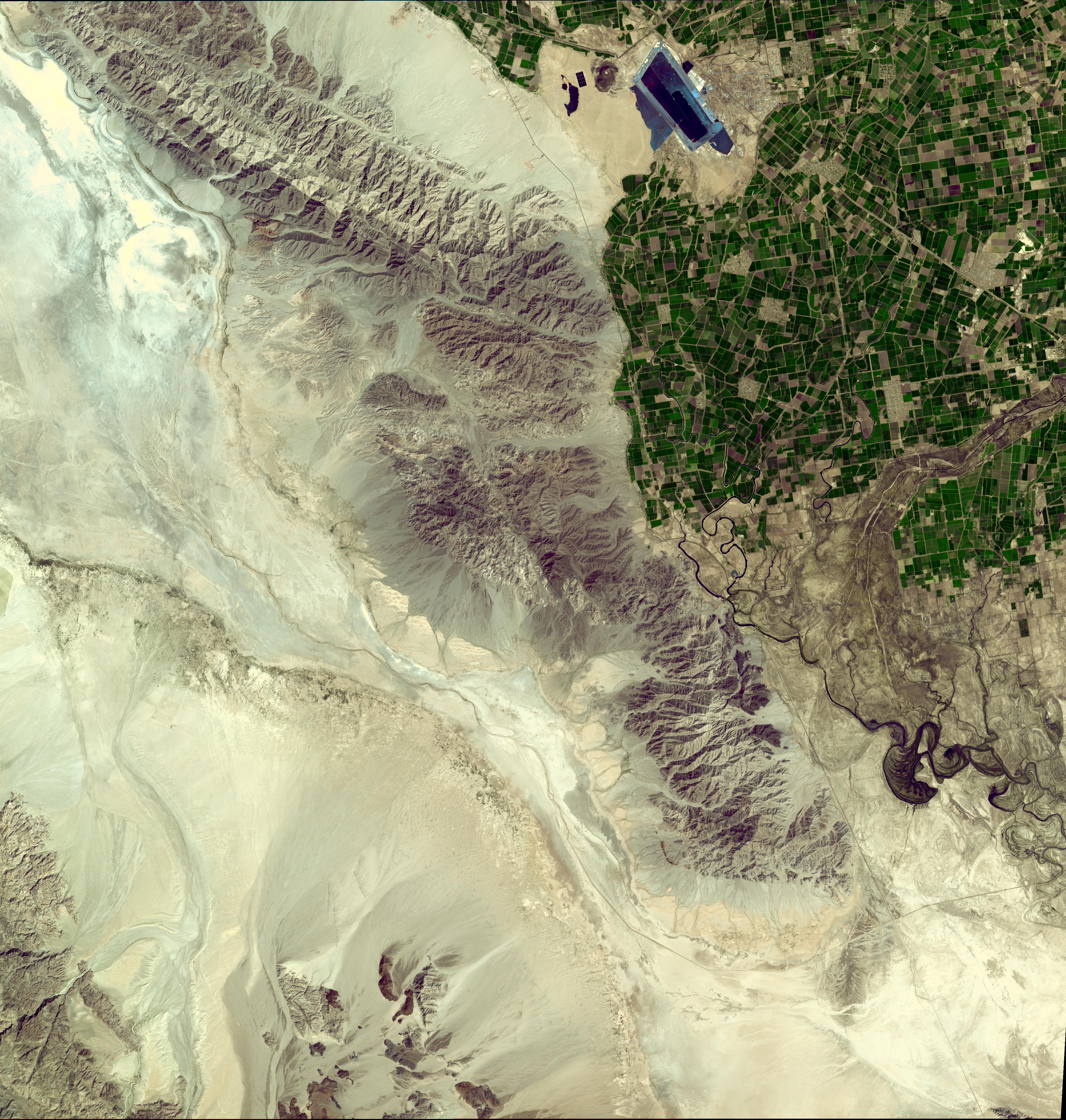
2009-04-19 | Earth |
Terra |
ASTER |
2508x5460x3 |
|
|
|||||
|
|
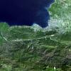
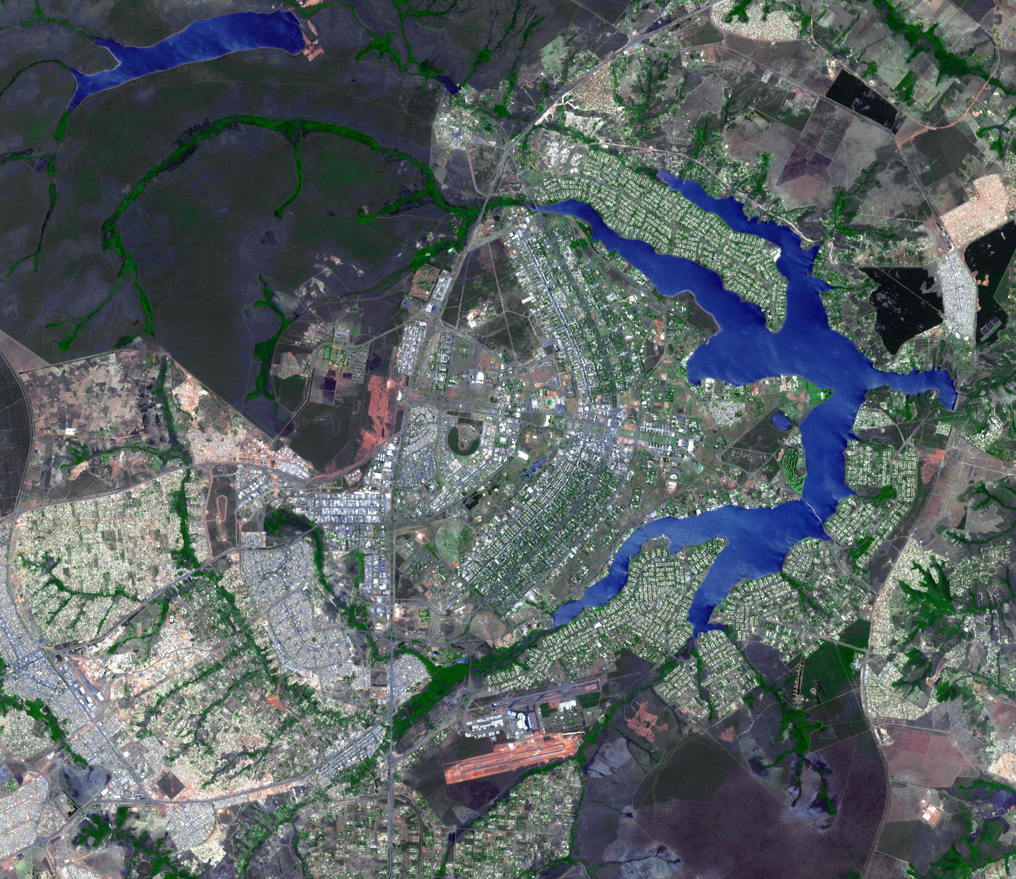
2009-04-20 | Earth |
Terra |
ASTER |
3708x2920x3 |
|
|||||
|
|
2009-04-20 | Earth |
Terra |
ASTER |
3235x2351x3 |
|
|||||
|
|
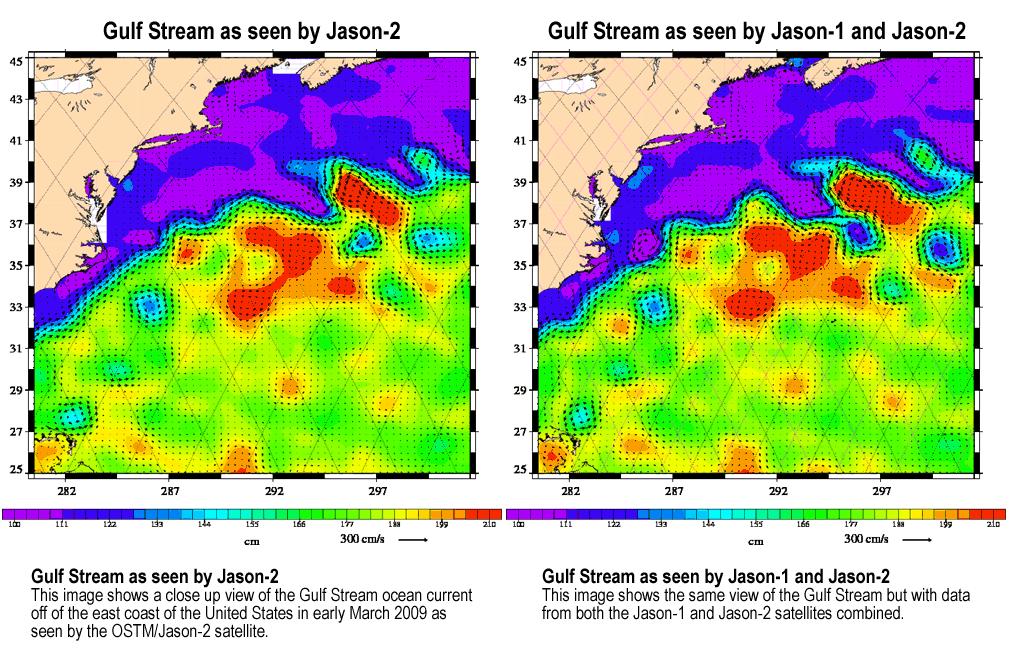
2009-04-27 | Earth |
Jason-1 OSTM/Jason-2 |
Altimeter |
1010x654x3 |
|
|||||
|
|
2009-05-01 | Earth |
Terra |
ASTER |
1446x803x3 |
|
|||||
|
|
2009-05-08 | Earth |
QuikScat |
SeaWinds Scatterometer |
2367x2916x3 |
|
|||||
|
|
2009-05-15 | Earth |
Terra |
ASTER |
3456x2736x3 |
|
|||||
|
|
2009-06-02 | Earth |
Terra |
ASTER |
2282x1772x3 |

|
|||||
|
|
2009-06-18 | Earth |
UAVSAR |
L-Band UAVSAR |
2984x2737x3 |

|
|||||
|
|
2009-06-29 | Earth |
Terra |
ASTER |
4320x2160x3 |
|
|||||
|
|
2009-06-29 | Earth |
Terra |
ASTER |
1488x1493x3 |

|
|||||
|
|
2009-06-29 | Earth |
Terra |
ASTER |
1556x1370x3 |
|
|||||
|
|
2009-06-29 | Earth |
Terra |
ASTER |
1280x720x3 |
|
|||||
|
|
2009-06-29 | Earth |
Terra |
ASTER |
1281x718x3 |

|
|||||
|
|
2009-06-29 | Earth |
Terra |
ASTER |
1280x720x3 |
|
|||||
|
|
2009-06-30 | Earth |
Aqua |
AIRS |
1600x1025x3 |
|
|||||
|
|
2009-06-30 | Earth |
Aqua |
AIRS |
1600x1025x3 |
|
|||||
|
|
2009-06-30 | Earth |
Aqua |
AIRS |
1600x1025x3 |
|
|||||
|
|
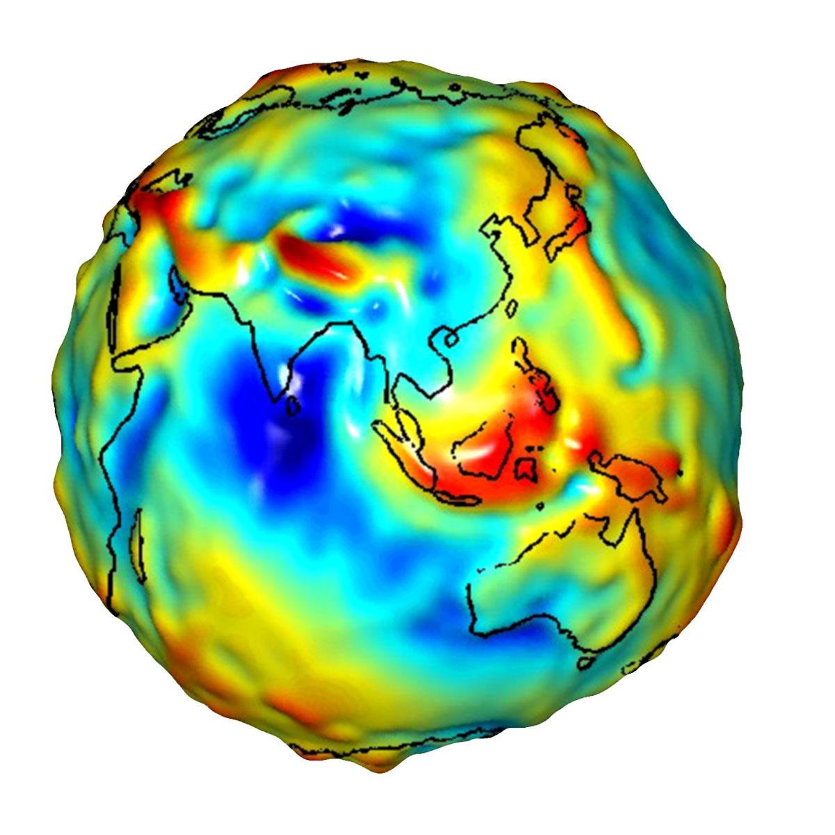
2009-07-15 | Earth |
GRACE |
K-Band Ranging System |
1200x1200x3 |
|
|||||
|
|
2009-07-15 | Earth |
GRACE |
K-Band Ranging System |
1200x1200x3 |
|
|||||
|
|
2009-07-17 | Earth |
GRACE |
K-Band Ranging System |
455x455x3 |
|
|||||
|
|
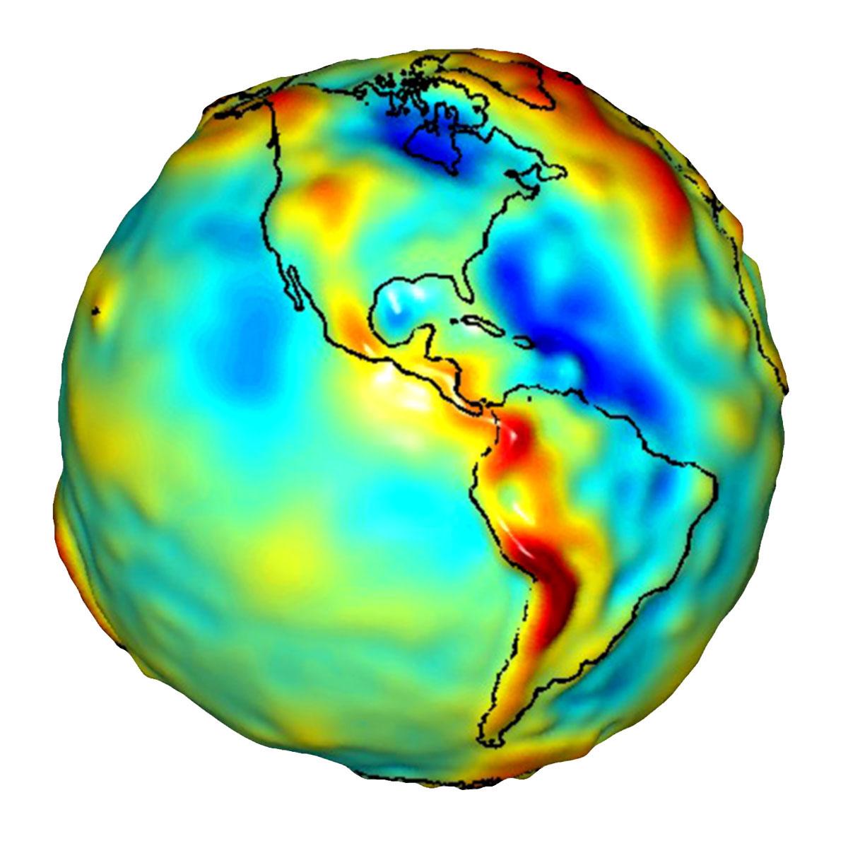
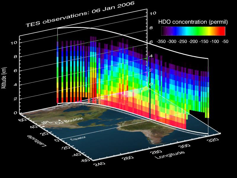
2009-08-13 | Earth |
Aura |
TES |
800x600x3 |

|
|||||
|
|
2009-08-18 | Earth |
Terra |
ASTER |
1492x1488x3 |
|
|||||
|
|
2009-08-21 | Earth |
CloudSat |
AMSR-E Cloud Profiling Radar (CPR) MODIS |
1728x1108x3 |
|
|||||
|
|
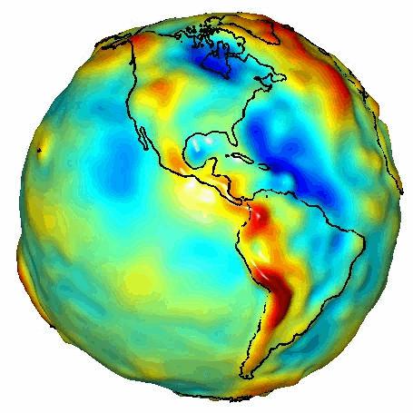
2009-08-27 | Earth |
GRACE |
K-Band Ranging System |
778x778x3 |

|
|||||
|
|
2009-09-01 | Earth |
Terra |
MISR |
891x638x3 |

|
|||||
|
|
2009-09-01 | Earth |
UAVSAR |
L-Band UAVSAR |
3544x2458x3 |
|
|||||
|
|
2009-09-01 | Earth |
Terra |
ASTER |
1200x1000x3 |
|
|||||
|
|
2009-09-04 | Earth |
Aqua |
AIRS |
640x500x3 |
|
|||||
|
|
2009-09-04 | Earth |
Terra |
MISR |
1014x810x3 |
|
|||||
|
|
2009-09-08 | Earth |
Terra |
ASTER |
3416x3492x3 |
|
|||||
|
|
2009-09-15 | Earth |
CloudSat |
AMSR-E Cloud Profiling Radar (CPR) MODIS |
960x616x3 |
|
|||||
|
|
2009-09-15 | Earth |
Terra |
ASTER |
3920x2709x3 |
|
|||||
|
|
2009-09-21 | Earth |
Terra |
ASTER |
6230x3300x3 |
|
|||||
|
|
2009-09-24 | Earth |
Aqua |
AIRS |
1000x1000x3 |
|
|||||
|
|
2009-09-25 | Earth |
Terra |
MISR |
1659x2051x3 |
|
|||||
|
|
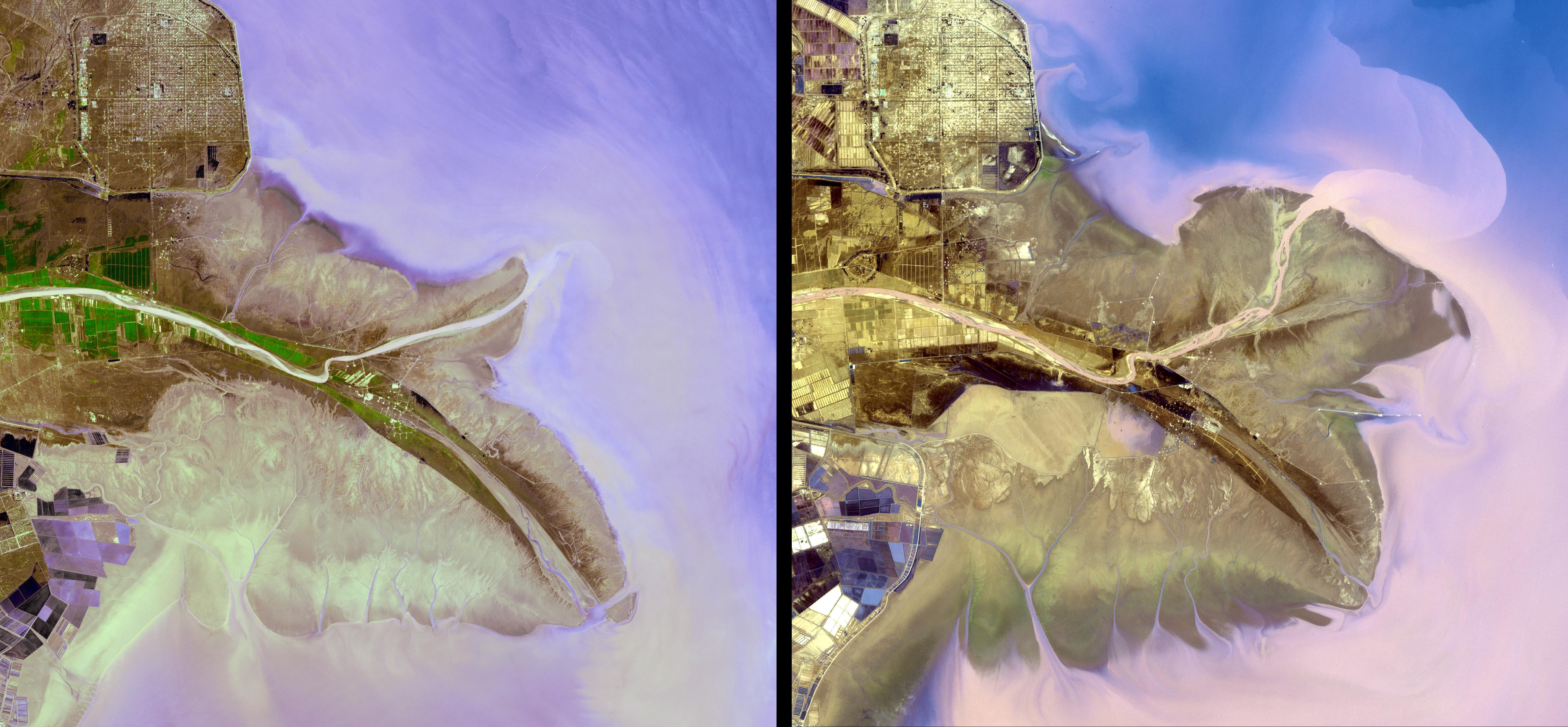
2009-10-01 | Earth |
Shuttle Radar Topography Mission (SRTM) |
C-Band Radar X-Band Radar |
2279x1486x3 |
|
|||||
|
|
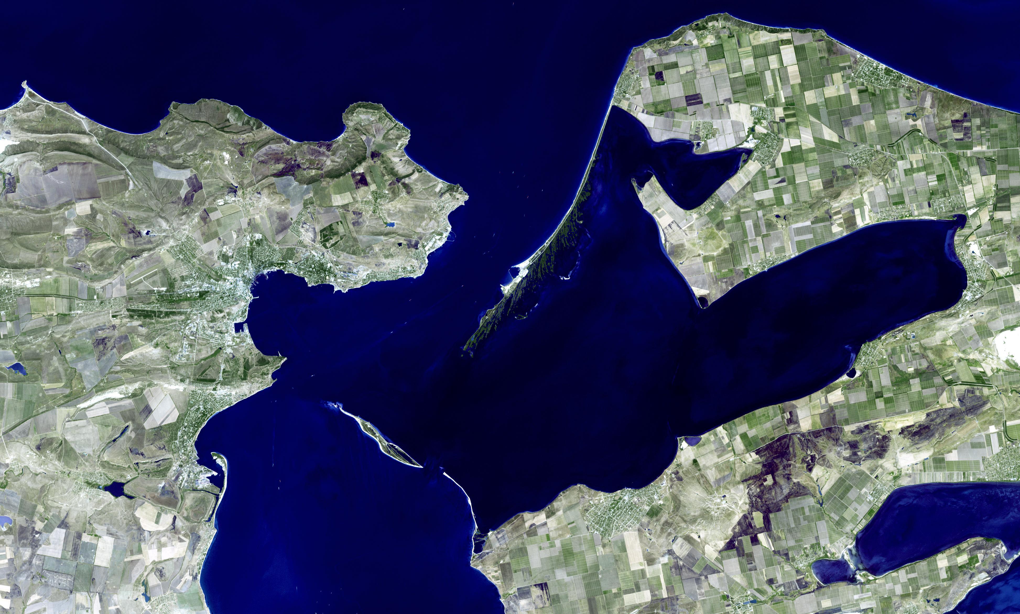
2009-10-01 | Earth |
Shuttle Radar Topography Mission (SRTM) |
C-Band Radar X-Band Radar |
2304x1533x3 |
|
|||||
|
|
2009-10-02 | Earth |
Terra |
ASTER |
1652x1260x3 |
|
|||||
|
|
2009-10-05 | Earth |
Terra |
ASTER |
1789x1431x3 |
|
|||||
|
|
2009-10-22 | Earth |
Terra |
ASTER |
2356x2239x3 |
|
|||||
|
|
2009-10-29 | Earth |
OSTM/Jason-2 |
Altimeter |
900x900x3 |
|
|||||
|
|
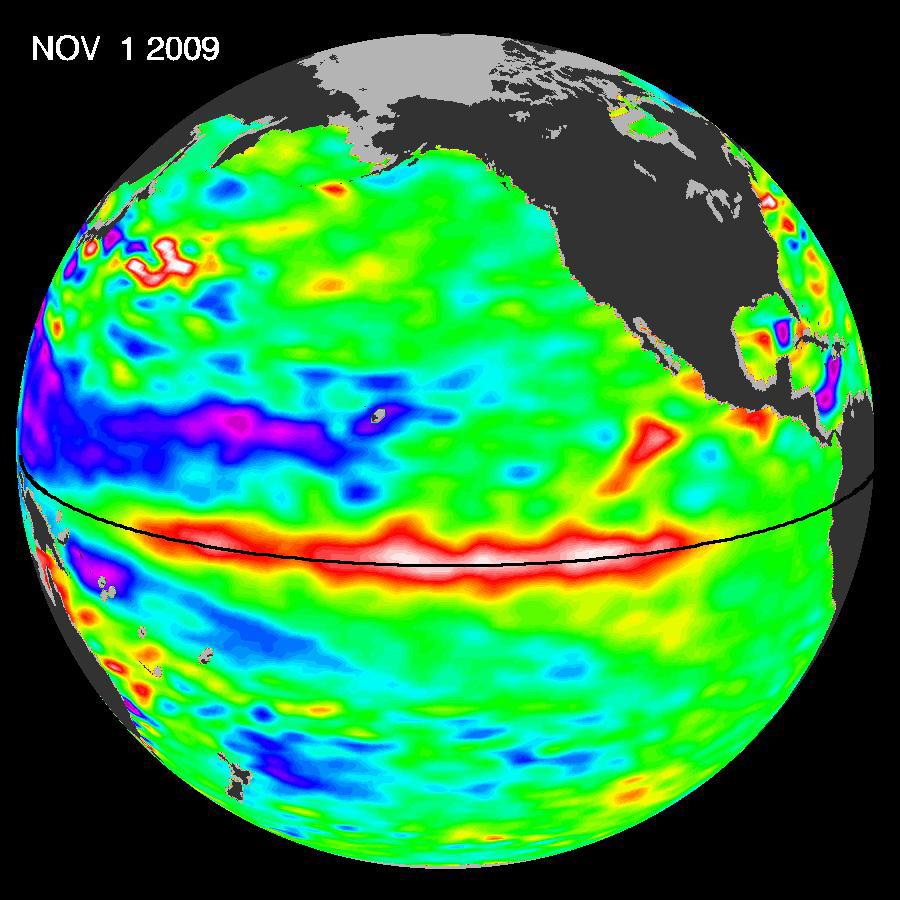
2009-11-02 | Earth |
Terra |
ASTER |
3900x4331x3 |
|
|||||
|
|
2009-11-09 | Earth |
Aqua |
AIRS |
1460x1179x3 |
|
|||||
|
|
2009-11-10 | Earth |
Terra |
MISR |
1278x1947x1 |
|
|||||
|
|
2009-11-12 | Earth |
OSTM/Jason-2 |
Altimeter |
900x900x3 |
|
|||||
|
|
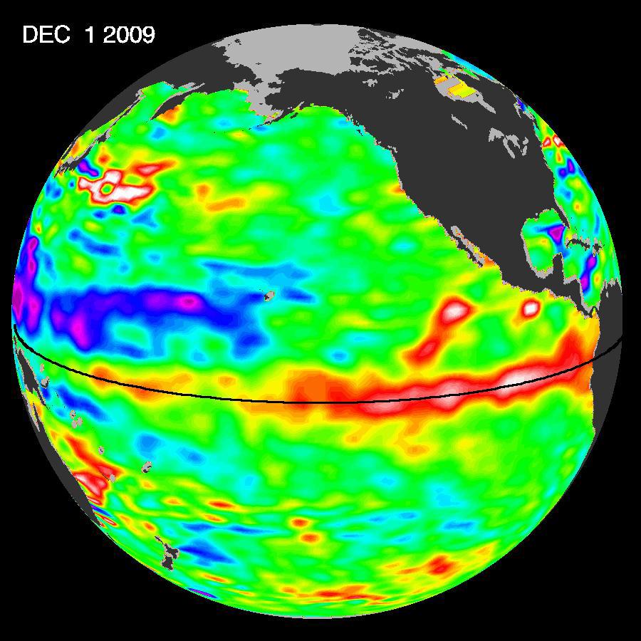
2009-12-08 | Earth |
Terra |
ASTER |
5250x2434x3 |
|
|||||
|
|
2009-12-17 | Earth |
OSTM/Jason-2 |
Altimeter |
900x900x3 |
|
|||||
|
|
2010-01-11 | Earth |
Terra |
ASTER |
3892x2344x3 |
|
|||||
|
|
2010-01-14 | Earth |
Shuttle Radar Topography Mission (SRTM) |
C-Band Radar X-Band Radar |
7900x4200x3 |
|
|||||
|
|
2010-01-14 | Earth |
Shuttle Radar Topography Mission (SRTM) |
C-Band Radar X-Band Radar |
6001x1201x3 |
|
|||||
|
|
2010-01-14 | Earth |
Shuttle Radar Topography Mission (SRTM) |
C-Band Radar X-Band Radar |
2715x1522x3 |
|
|||||
|
|
2010-01-18 | Earth |
Terra |
ASTER |
3266x3374x3 |
|
|||||
|
|
2010-01-22 | Earth |
Terra |
ASTER |
2500x2500x3 |
|
|||||
|
|
2010-01-28 | Earth |
Terra |
ASTER |
2910x1887x3 |

|
|||||
|
|
2010-02-02 | Earth |
UAVSAR |
L-Band UAVSAR |
6662x5139x3 |
|
|||||
|
|
2010-02-03 | Earth |
IRTF |
1199x600x3 | |

|
|||||
|
|
2010-02-08 | Earth |
Terra |
ASTER |
1200x1000x3 |
|
|||||
|
|
2010-02-16 | Earth |
Terra |
ASTER |
1532x1504x3 |
|
|||||
|
|
2010-02-19 | Earth |
GRACE |
K-Band Ranging System |
1279x720x3 |
|
|||||
|
|
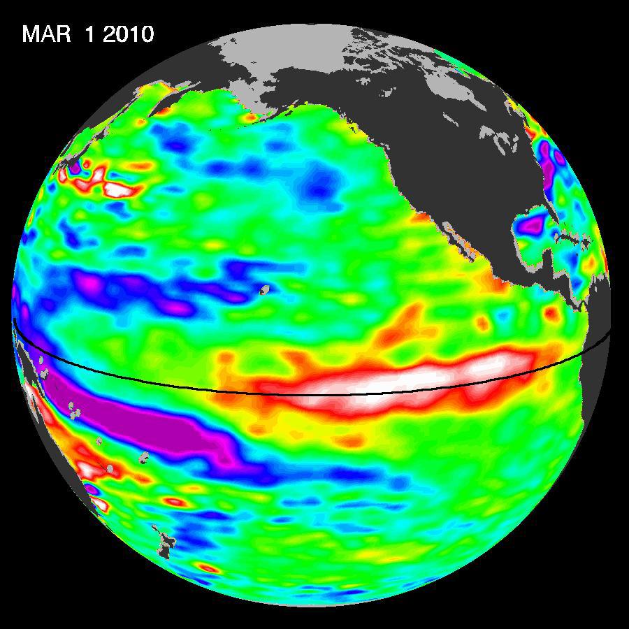
2010-03-04 | Earth |
Shuttle Radar Topography Mission (SRTM) |
C-Band Radar X-Band Radar |
4652x5365x3 |
|
|||||
|
|
2010-03-04 | Earth |
Shuttle Radar Topography Mission (SRTM) |
C-Band Radar X-Band Radar |
1168x806x3 |
|
|||||
|
|
2010-03-08 | Earth |
Terra |
ASTER |
2403x2274x3 |

|
|||||
|
|
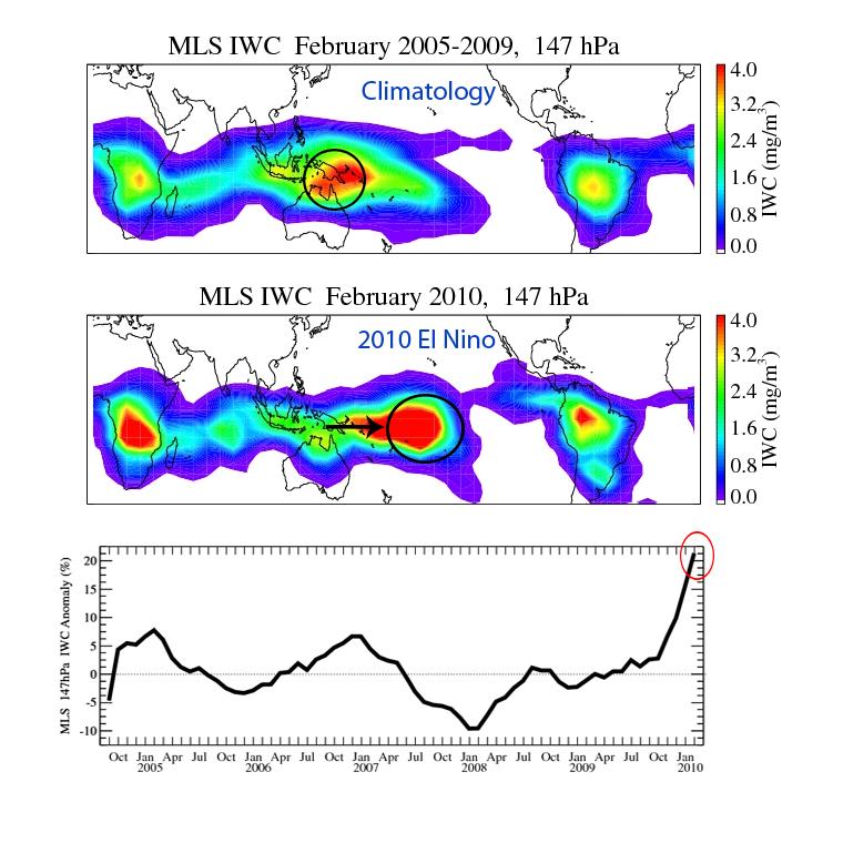
2010-03-16 | Earth |
Aura |
MLS |
760x760x3 |
|
|||||
|
|
2010-03-16 | Earth |
OSTM/Jason-2 |
Altimeter |
900x900x3 |
|
|||||
|
|
2010-03-24 | Earth |
Terra |
ASTER |
1516x1962x3 |
|
|||||
|
|
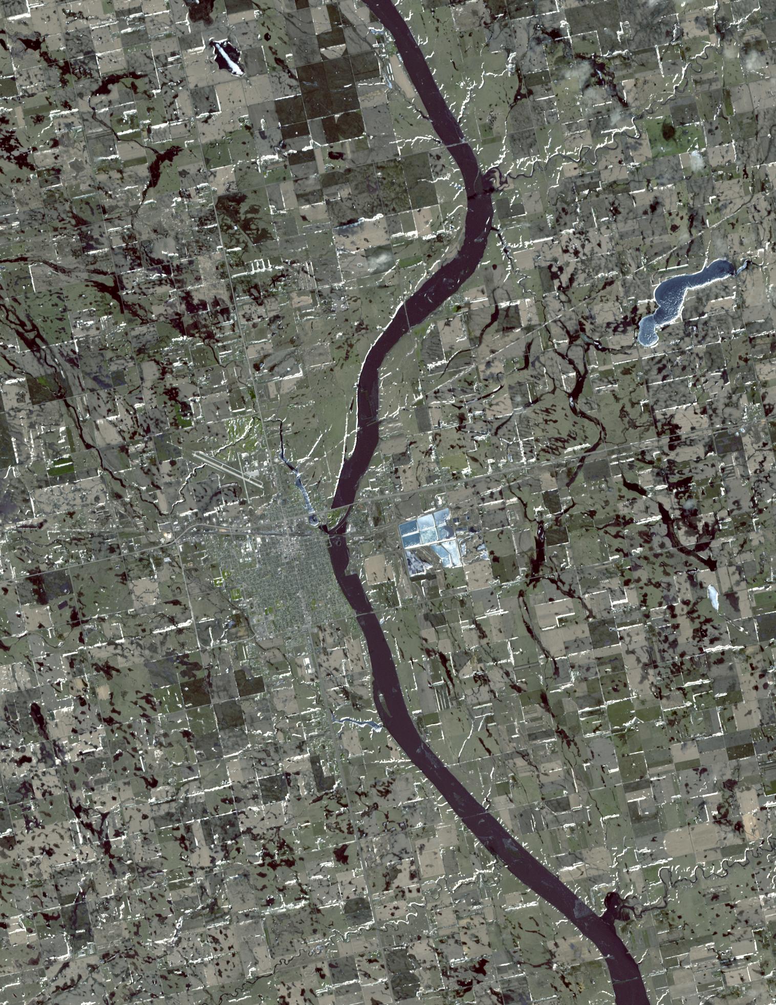
2010-04-05 | Earth |
Terra |
ASTER |
2500x3000x3 |
|
|||||
|
|
2010-04-05 | Earth |
Shuttle Radar Topography Mission (SRTM) |
C-Band Radar X-Band Radar |
1152x792x3 |
|
|||||
|
|
2010-04-05 | Earth |
Shuttle Radar Topography Mission (SRTM) |
C-Band Radar X-Band Radar |
5793x6796x3 |
|
|||||
|
|
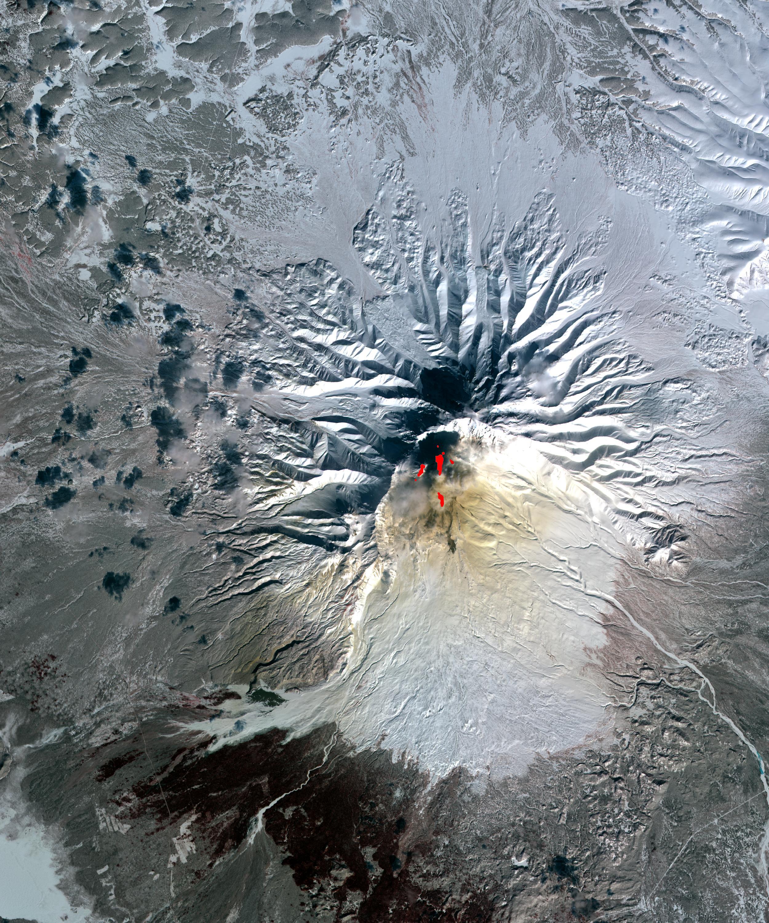
2010-04-09 | Earth |
Terra |
ASTER |
4000x4200x3 |
|
|||||
|
|
2010-04-15 | Earth |
Aqua |
AIRS |
900x695x3 |
|
|||||
|
|
2010-04-16 | Earth |
Terra |
ASTER |
2066x1788x3 |
|
|||||
|
|
2010-04-16 | Earth |
Terra |
MODIS |
3780x2328x3 |
|
|||||
|
|
2010-04-18 | Earth |
Terra |
MISR |
1126x1024x3 |
|
|||||
|
|
2010-04-18 | Earth |
Earth Observing-1 (EO-1) |
Hyperion Hyperspectral Imager |
525x646x3 |

|
|||||
|
|
2010-04-19 | Earth |
Terra |
ASTER |
3908x3132x3 |
|
|||||
|
|
2010-04-20 | Earth |
Terra |
MISR |
1500x1015x3 |
|
|||||
|
|
2010-04-20 | Earth |
Terra |
MISR |
1500x1015x3 |
|
|||||
|
|
2010-04-21 | Earth |
Earth Observing-1 (EO-1) |
Advanced Land Imager (ALI) |
1248x1110x3 |

|
|||||
|
|
2010-04-21 | Earth |
Terra |
MISR |
5814x2778x3 |
|
|||||
|
|
2010-04-23 | Earth |
Terra |
ASTER |
1530x700x3 |

|
|||||
|
|
2010-05-03 | Earth |
Terra |
ASTER |
5275x6928x3 |
|
|||||
|
|
2010-05-03 | Earth |
Terra |
ASTER |
2664x2108x3 |
|
|||||
|
|
2010-05-04 | Earth |
Terra |
ASTER |
940x607x1 |

|
|||||
|
|
2010-05-05 | Earth |
Terra |
ASTER |
950x486x3 |
|
|||||
|
|
2010-05-05 | Earth |
Earth Observing-1 (EO-1) |
Hyperion Hyperspectral Imager |
790x552x3 |
|
|||||
|
|
2010-05-06 | Earth |
Terra |
MISR |
947x754x1 |

|
|||||
|
|
2010-05-07 | Earth |
Terra |
ASTER |
1368x2791x1 |
|
|
|||||
|
|
2010-05-14 | Earth |
Terra |
MISR |
1734x2020x3 |

|
|||||
|
|
2010-05-17 | Earth |
Aqua |
AIRS |
2417x1887x3 |
|
|||||
|
|
2010-05-18 | Earth |
Terra |
MISR |
2295x2673x3 |
|
|||||
|
|
2010-05-18 | Earth |
Terra |
MISR |
1000x676x3 |

|
|||||
|
|
2010-05-20 | Earth |
Terra |
MISR |
1257x1406x3 |

|
|||||
|
|
2010-05-24 | Earth |
OSTM/Jason-2 |
Altimeter |
612x627x3 |

|
|||||
|
|
2010-05-26 | Earth |
Terra |
ASTER |
2800x2100x3 |
|
|||||
|
|
2010-05-27 | Earth |
AVIRIS |
324x523x3 | |

|
|||||
|
|
2010-06-02 | Earth |
Terra |
MISR |
801x866x3 |

|
|||||
|
|
2010-06-22 | Earth |
OSTM/Jason-2 |
Altimeter |
1304x1268x3 |

|
|||||

|
 |
|
|
|
|
|
|
|
|
|

|
| 1-100 | 101-200 | 201-300 | 301-400 | 401-500 | 501-600 | 601-700 | 701-800 | 801-900 | 901-1000 |
| Currently displaying images: 1101 - 1200 of 2277 |