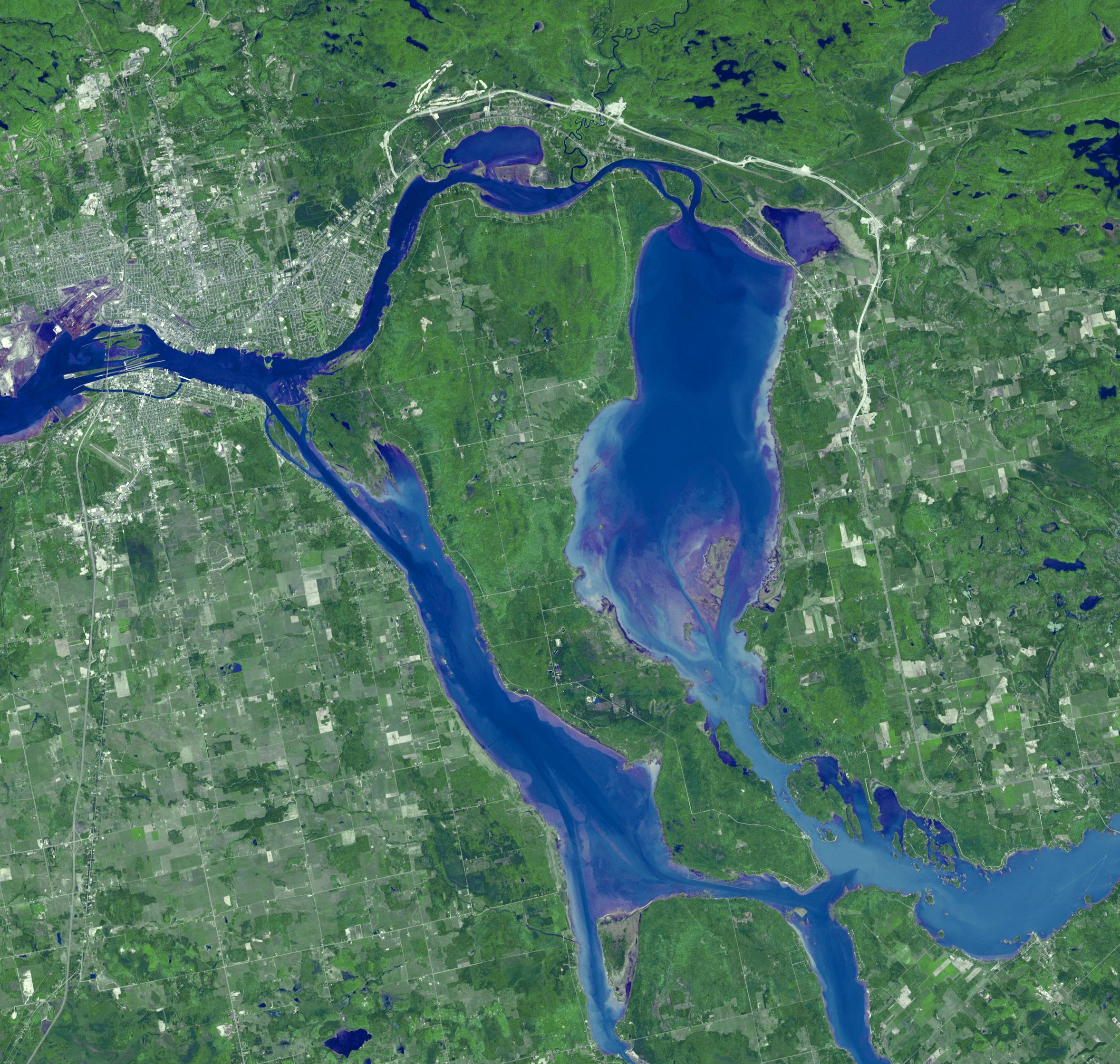
Sault Ste. Marie is the name of two cities on Saint Mary's River, separating Canada and the State of Michigan in the United States. Founded as a fur trading settlement in 1668, the town was split into two in 1797 when the Upper Peninsula was transferred to the U.S. The Saint Mary's River joins Lake Superior to Lake Huron. The two cities are joined by the International Bridge; the nearby Soo Locks bypass the River's rapids, and carries more tonnage than any other canal in the world. The image was acquired June 10, 2007, covers an area of 35.3 x 33.6 km, and is located at 46.4 degrees north latitude, 84.3 degrees west longitude.
With its 14 spectral bands from the visible to the thermal infrared wavelength region and its high spatial resolution of 15 to 90 meters (about 50 to 300 feet), ASTER images Earth to map and monitor the changing surface of our planet. ASTER is one of five Earth-observing instruments launched December 18, 1999, on NASA's Terra satellite. The instrument was built by Japan's Ministry of Economy, Trade and Industry. A joint U.S./Japan science team is responsible for validation and calibration of the instrument and the data products.
The broad spectral coverage and high spectral resolution of ASTER provides scientists in numerous disciplines with critical information for surface mapping and monitoring of dynamic conditions and temporal change. Example applications are: monitoring glacial advances and retreats; monitoring potentially active volcanoes; identifying crop stress; determining cloud morphology and physical properties; wetlands evaluation; thermal pollution monitoring; coral reef degradation; surface temperature mapping of soils and geology; and measuring surface heat balance.
The U.S. science team is located at JPL, Pasadena, Calif. The Terra mission is part of NASA's Science Mission Directorate.
More information about ASTER is available at http://asterweb.jpl.nasa.gov/.
