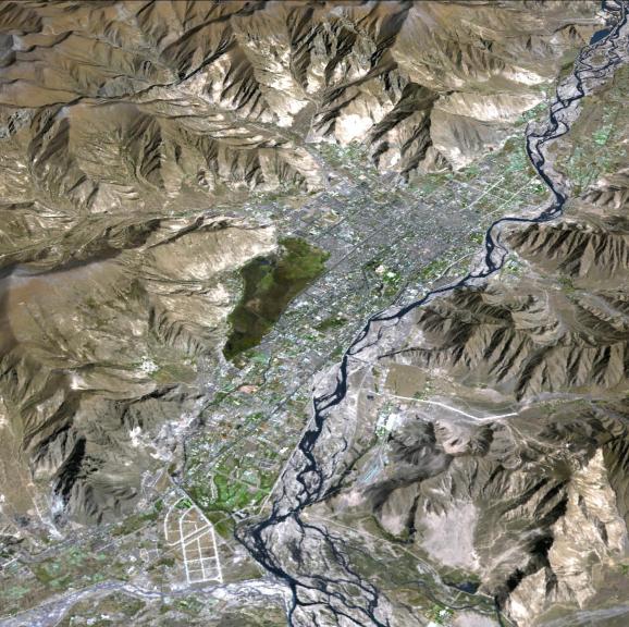
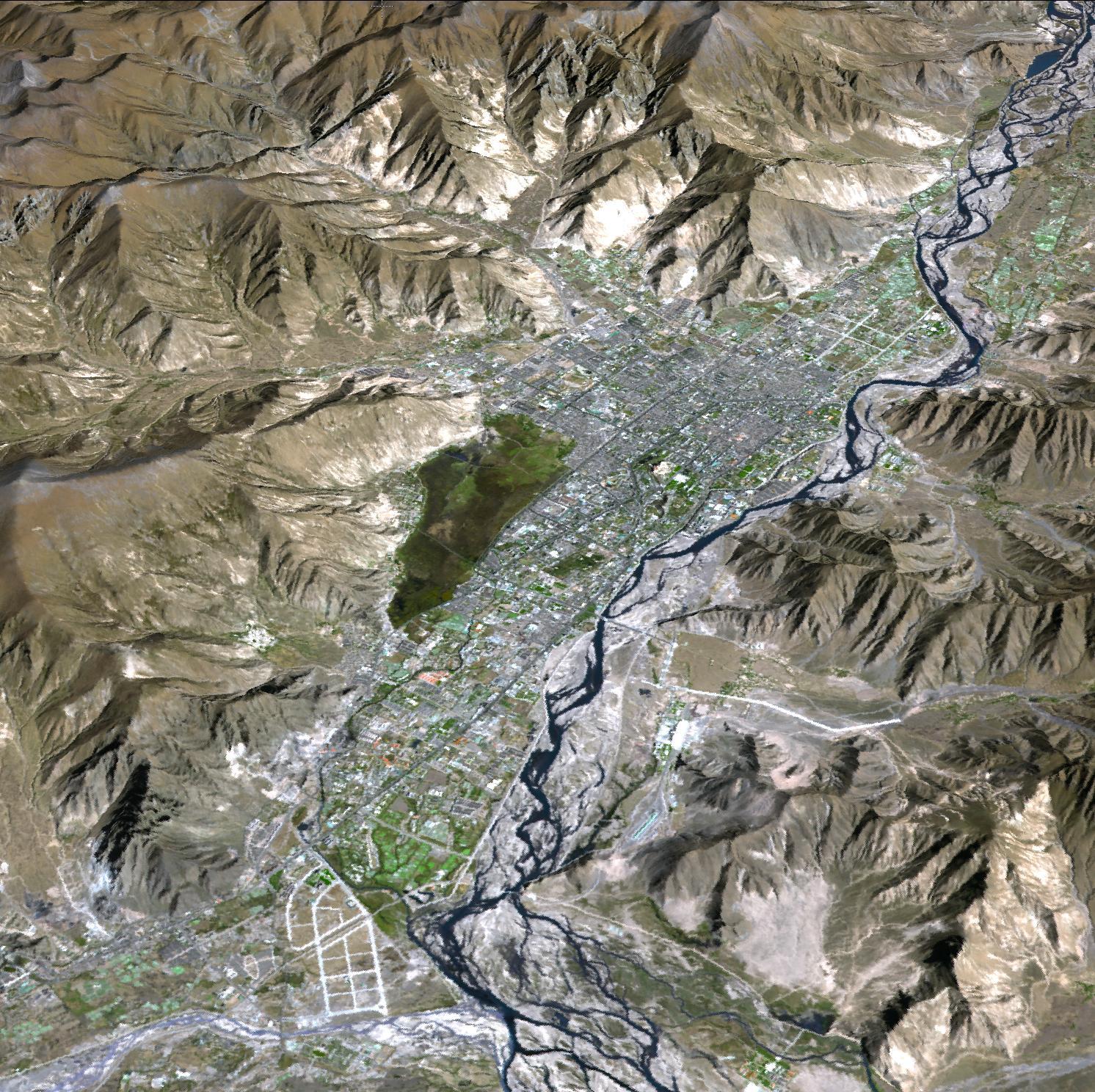
Lhasa is the traditional seat of the Dalai Lama and the capital of the Tibet Autonomous Region in the People's Republic of China. It is the location of the Potala palace, seen in the image center of this 3-D perspective view. Lhasa is one of the highest capitals in the world, with an altitude of 3490 meters. Lhasa literally means "place of the gods," though until the 7th century it was known by its ancient Tibetan name, Rasa, meaning "goat's place." The Kyi River, a tributary of the Yarlung Zangbo River, runs through the city. The image is located near 29.6 degrees north latitude, 91.1 degrees east longitude.
With its 14 spectral bands from the visible to the thermal infrared wavelength region and its high spatial resolution of 15 to 90 meters (about 50 to 300 feet), ASTER images Earth to map and monitor the changing surface of our planet. ASTER is one of five Earth-observing instruments launched December 18, 1999, on NASA's Terra satellite. The instrument was built by Japan's Ministry of Economy, Trade and Industry. A joint U.S./Japan science team is responsible for validation and calibration of the instrument and the data products.
The broad spectral coverage and high spectral resolution of ASTER provides scientists in numerous disciplines with critical information for surface mapping and monitoring of dynamic conditions and temporal change. Example applications are: monitoring glacial advances and retreats; monitoring potentially active volcanoes; identifying crop stress; determining cloud morphology and physical properties; wetlands evaluation; thermal pollution monitoring; coral reef degradation; surface temperature mapping of soils and geology; and measuring surface heat balance.
The U.S. science team is located at NASA's Jet Propulsion Laboratory, Pasadena, Calif. The Terra mission is part of NASA's Science Mission Directorate.
More information about ASTER is available at http://asterweb.jpl.nasa.gov/.