|
Your search criteria found 2598 images Target is Earth (and available satellites) |
| My List |
Addition Date | Target | Mission |
Instrument
|
Size |

|
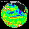
1999-11-18 | Earth |
TOPEX/Poseidon |
Altimeter |
902x900x3 |
|
|||||
|
|
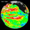
1999-12-01 | Earth |
TOPEX/Poseidon |
Altimeter |
900x900x3 |
|
|||||
|
|
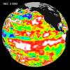
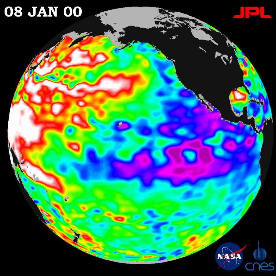
2000-01-21 | Earth |
TOPEX/Poseidon |
Altimeter |
902x900x3 |
|
|||||
|
|
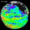
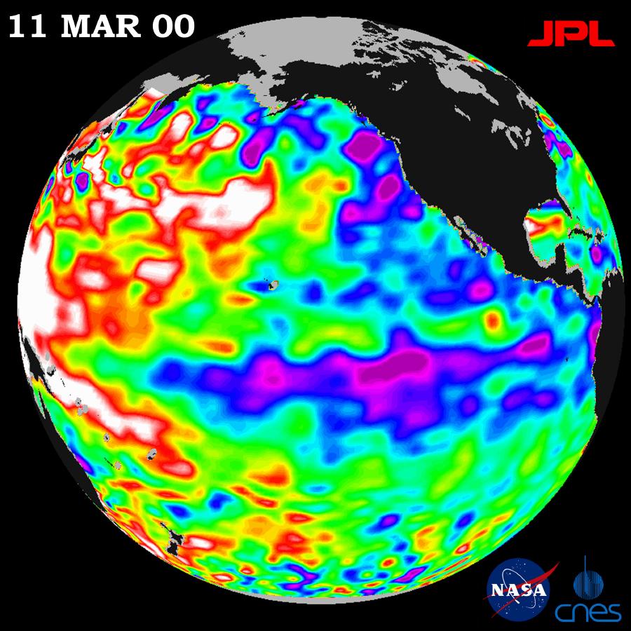
2000-05-07 | Earth |
TOPEX/Poseidon |
Altimeter |
900x900x3 |
|
|||||
|
|
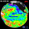
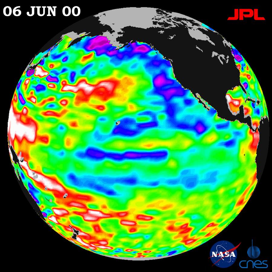
2000-07-06 | Earth |
TOPEX/Poseidon |
Altimeter |
900x900x3 |
|
|||||
|
|
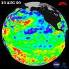
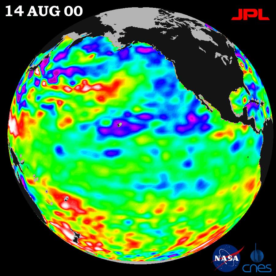
2000-08-30 | Earth |
TOPEX/Poseidon |
Altimeter |
900x900x3 |
|
|||||
|
|
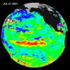
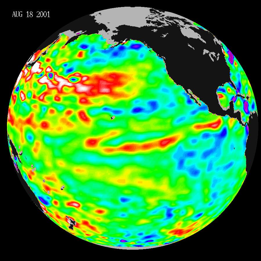
2001-08-27 | Earth |
TOPEX/Poseidon |
Altimeter |
900x900x3 |
|
|||||
|
|
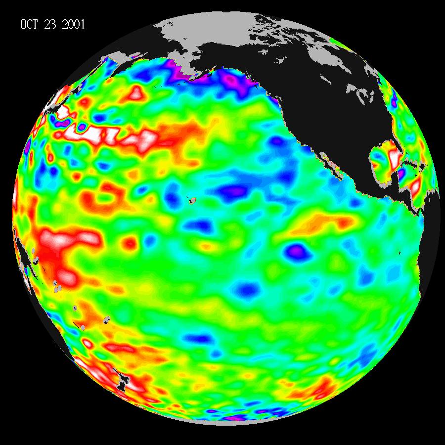
2001-11-07 | Earth |
TOPEX/Poseidon |
Altimeter |
900x900x3 |
|
|||||
|
|
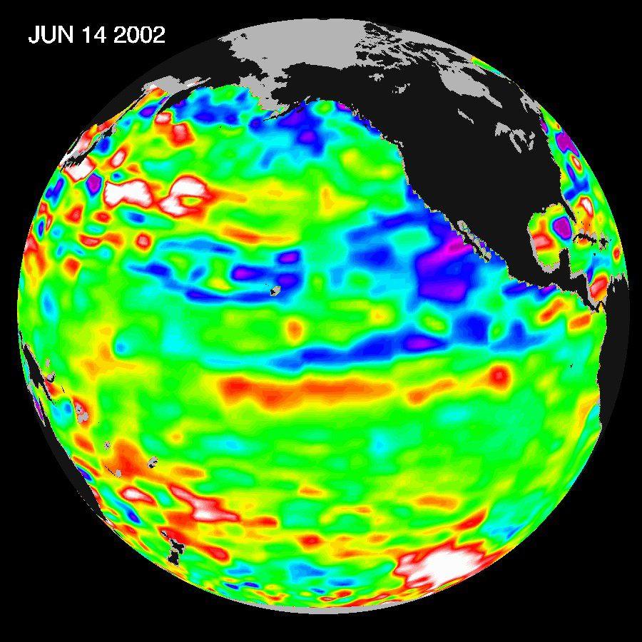
2002-07-03 | Earth |
TOPEX/Poseidon |
Altimeter |
900x900x3 |
|
|||||
|
|
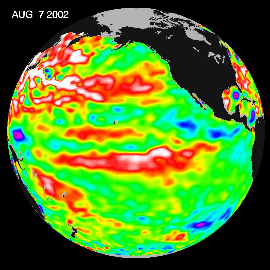
2002-08-22 | Earth |
TOPEX/Poseidon |
Altimeter |
900x900x3 |
|
|||||
|
|
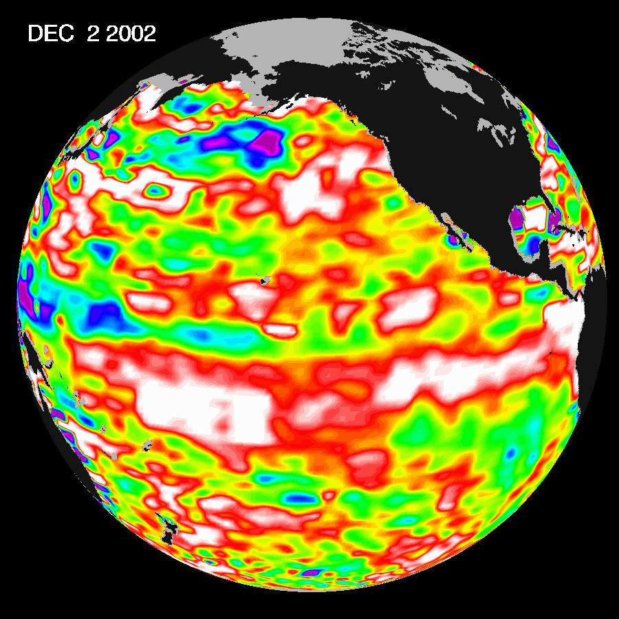
2002-12-12 | Earth |
Jason-1 |
Altimeter |
900x900x3 |
|
|||||
|
|
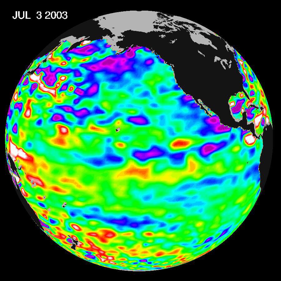
2003-07-14 | Earth |
Jason-1 |
Altimeter |
900x900x3 |
|
|||||
|
|
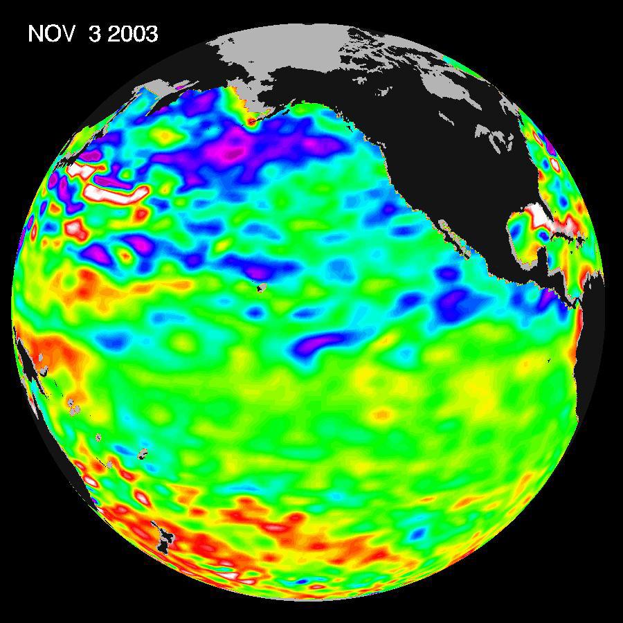
2003-11-18 | Earth |
Jason-1 |
Altimeter |
900x900x3 |
|
|||||
|
|
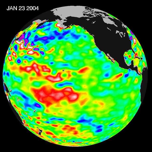
2004-01-30 | Earth |
Jason-1 |
Altimeter |
640x640x3 |
|
|||||
|
|
2004-07-13 | Earth |
Jason-1 |
Altimeter |
900x900x3 |
|
|||||
|
|
2004-07-13 | Earth |
Jason-1 |
Altimeter |
900x900x3 |
|
|||||
|
|
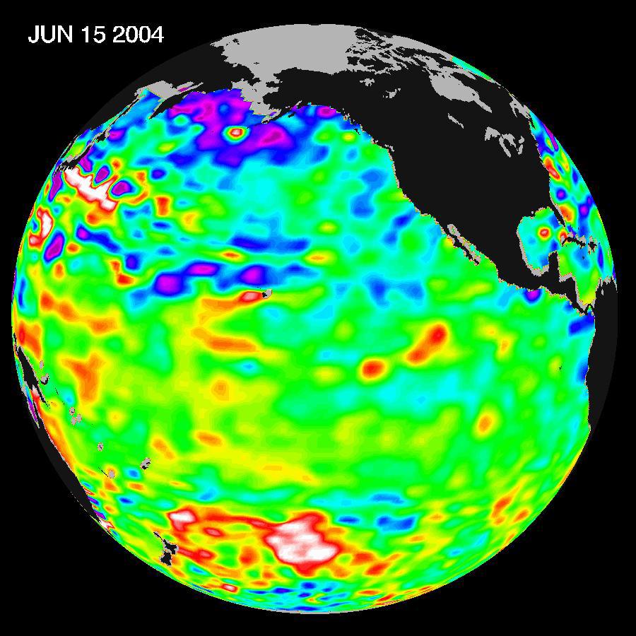
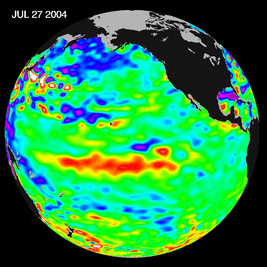
2004-08-04 | Earth |
Jason-1 |
Altimeter |
900x900x3 |
|
|||||
|
|
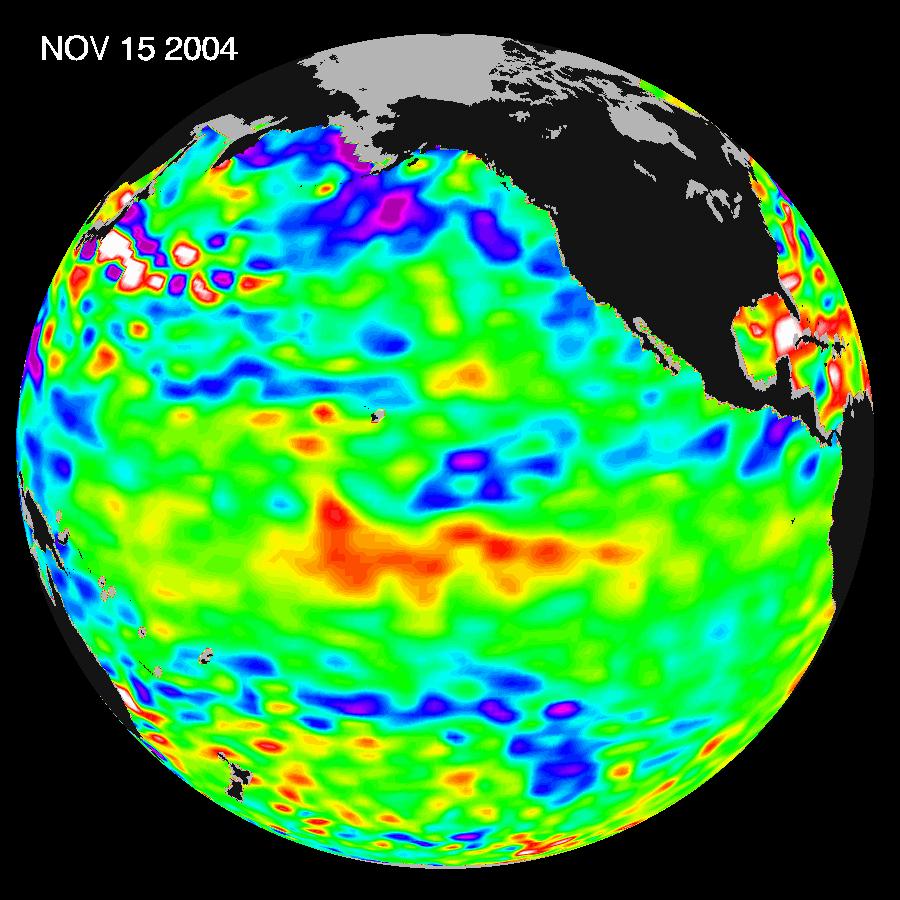
2004-11-16 | Earth |
Jason-1 |
Altimeter |
900x900x3 |
|
|||||
|
|
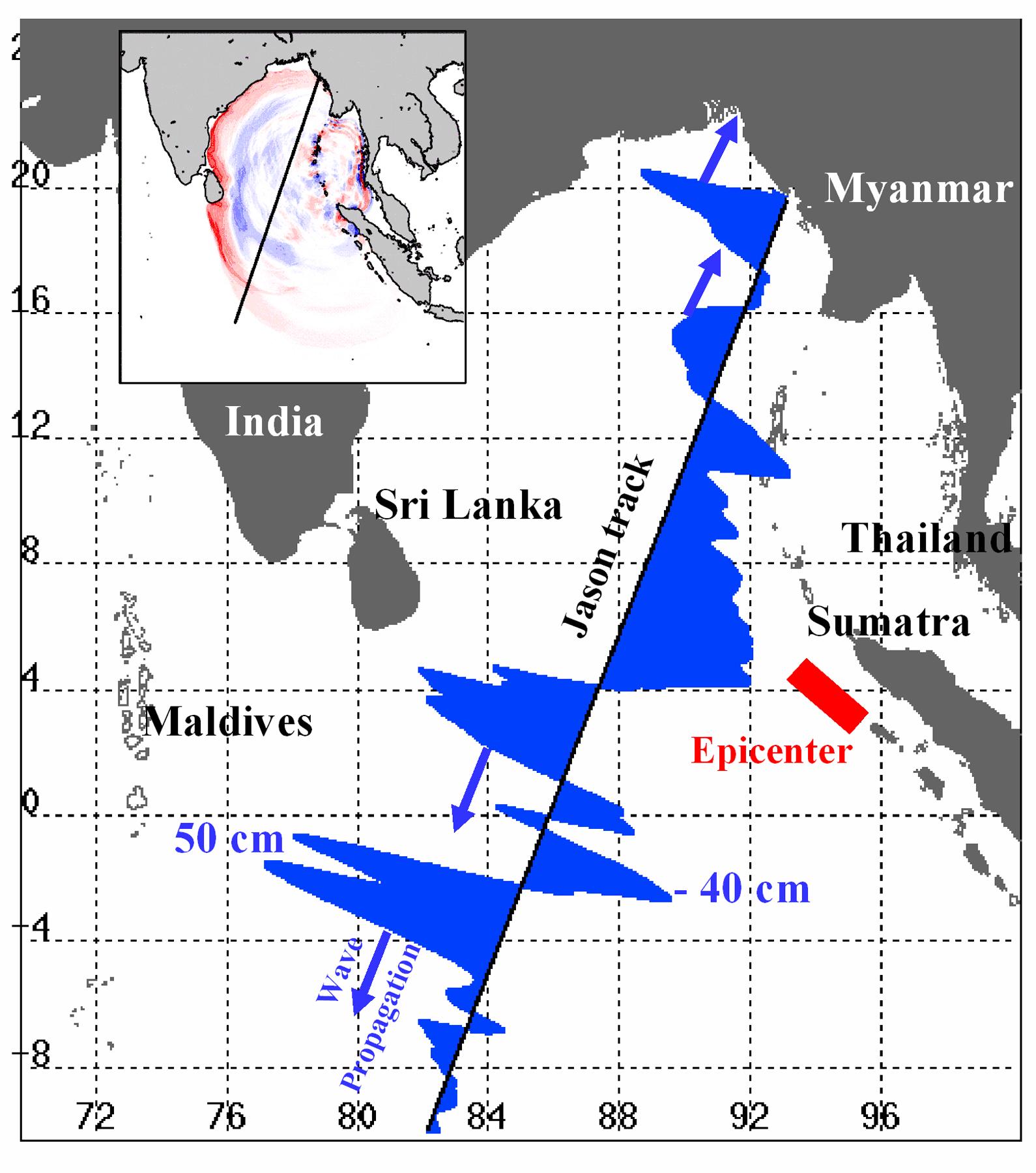
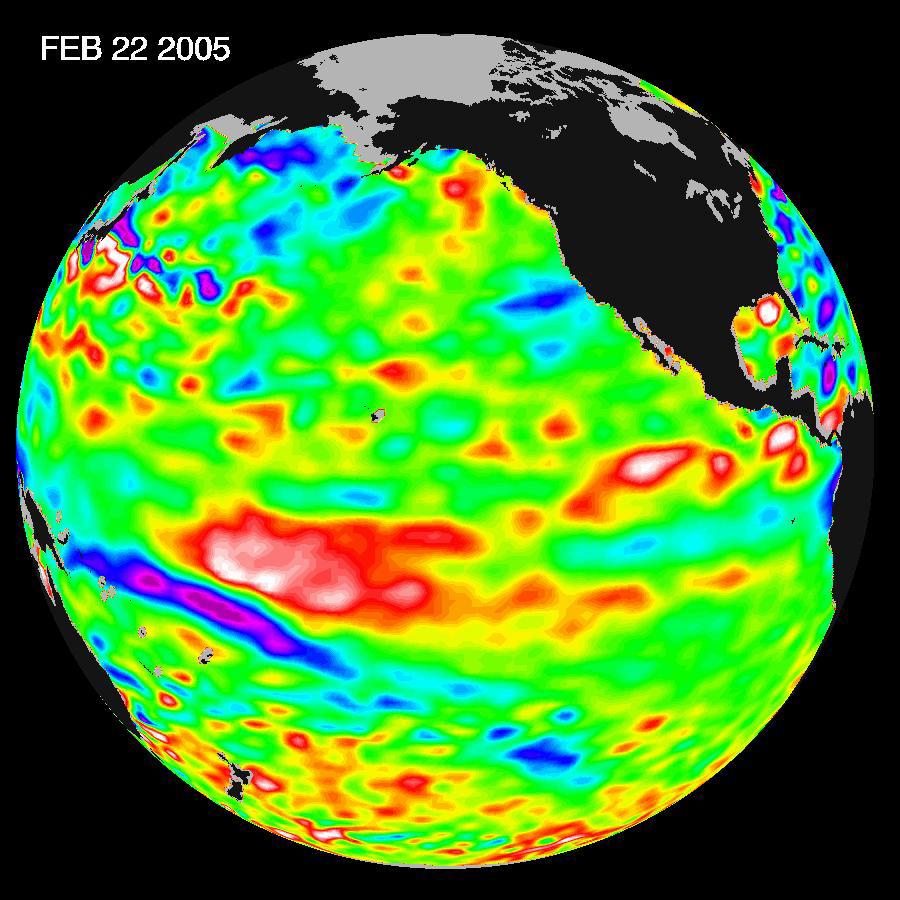
2005-01-12 | Earth |
Jason-1 |
Altimeter |
1590x1800x3 |
|
|||||
|
|
2005-03-14 | Earth |
Jason-1 |
Altimeter |
900x900x3 |
|
|||||
|
|
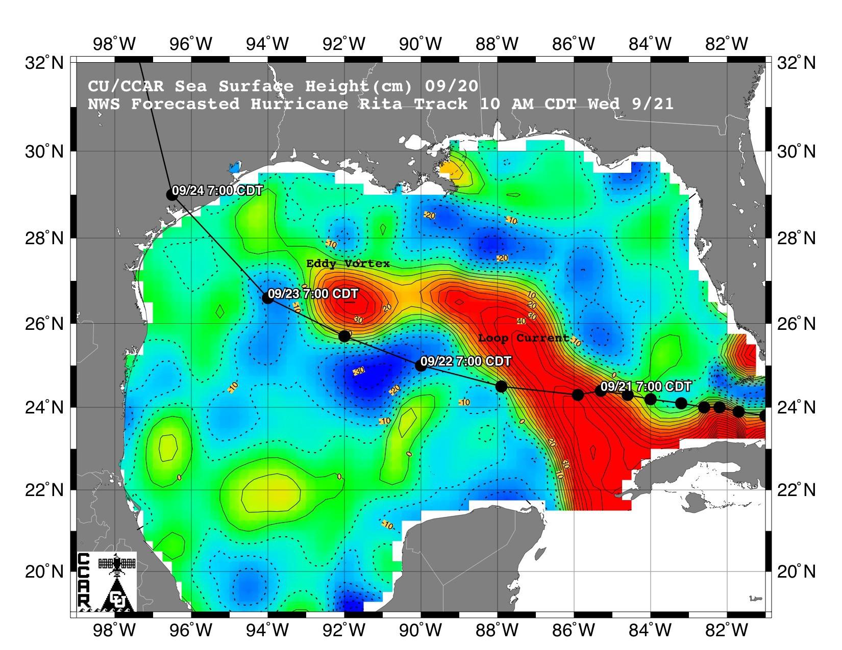
2005-09-21 | Earth |
Jason-1 |
Altimeter |
1650x1275x3 |

|
|||||
|
|
2005-09-22 | Earth |
Jason-1 |
Altimeter |
825x638x3 |
|
|||||
|
|
2005-09-26 | Earth |
Jason-1 |
Altimeter |
658x551x3 |
|
|||||
|
|
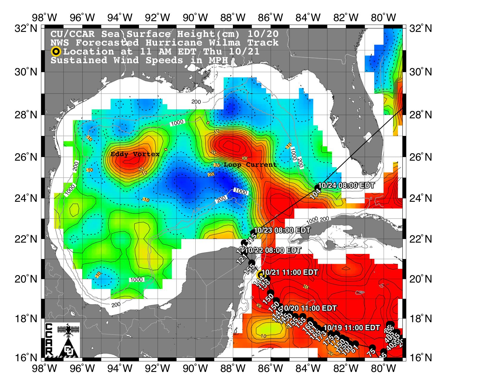
2005-10-21 | Earth |
Jason-1 |
Altimeter |
1650x1275x3 |
|
|||||
|
|
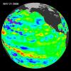
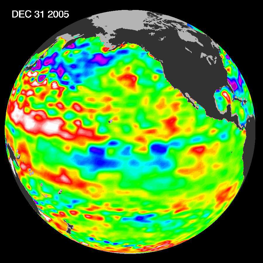
2006-01-13 | Earth |
Jason-1 |
Altimeter |
900x900x3 |
|
|||||
|
|
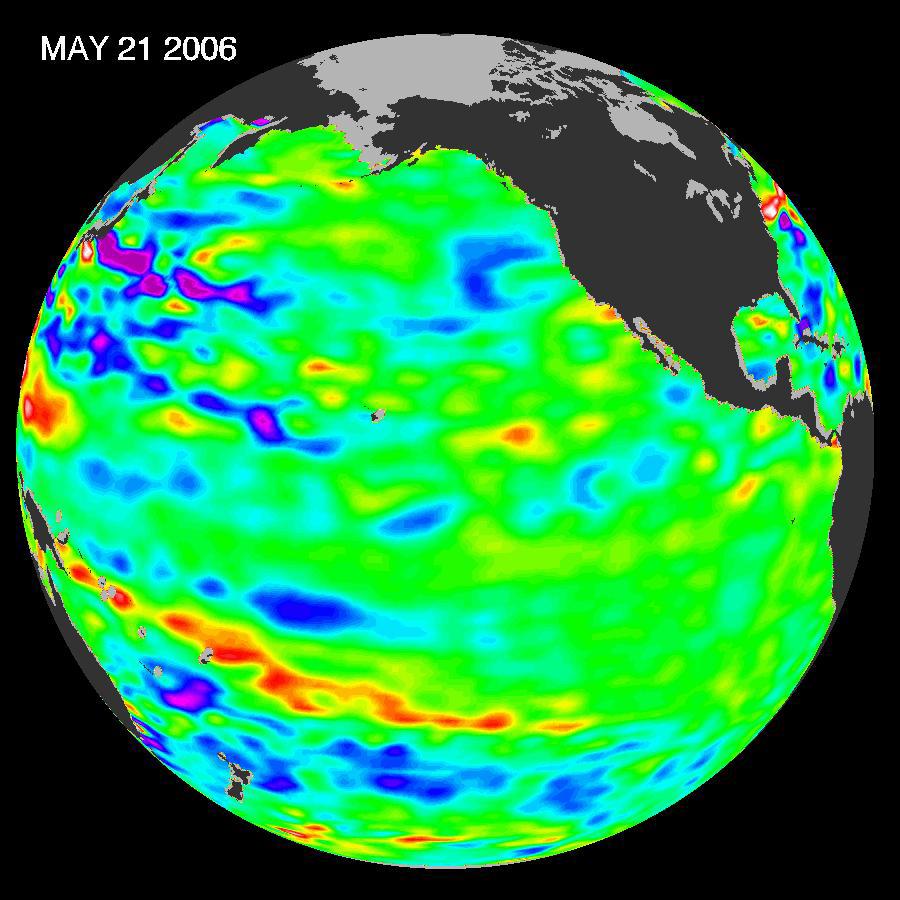
2006-05-30 | Earth |
Jason-1 |
Altimeter |
900x900x3 |
|
|||||
|
|
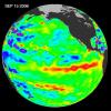
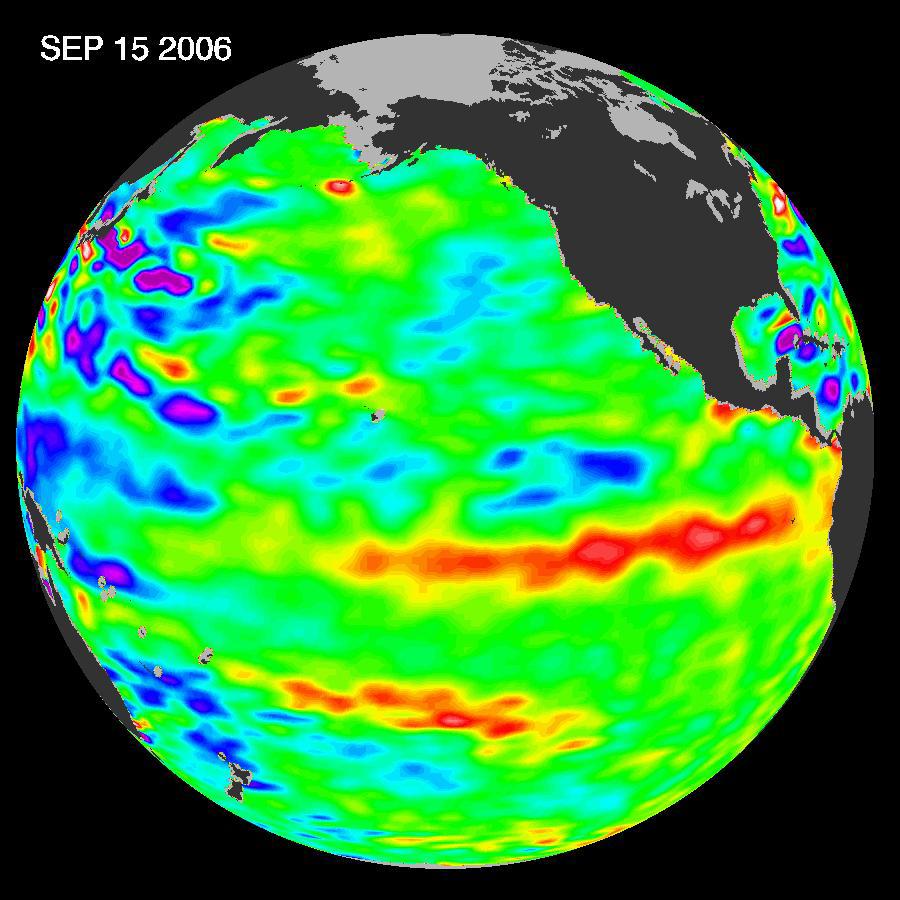
2006-10-10 | Earth |
Jason-1 |
Altimeter |
900x900x3 |
|
|||||
|
|
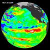
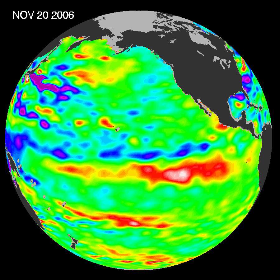
2006-12-07 | Earth |
Jason-1 |
Altimeter |
900x900x3 |
|
|||||
|
|
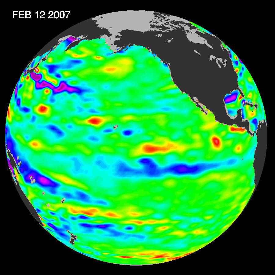
2007-03-02 | Earth |
Jason-1 |
Altimeter |
900x900x3 |

|
|||||
|
|
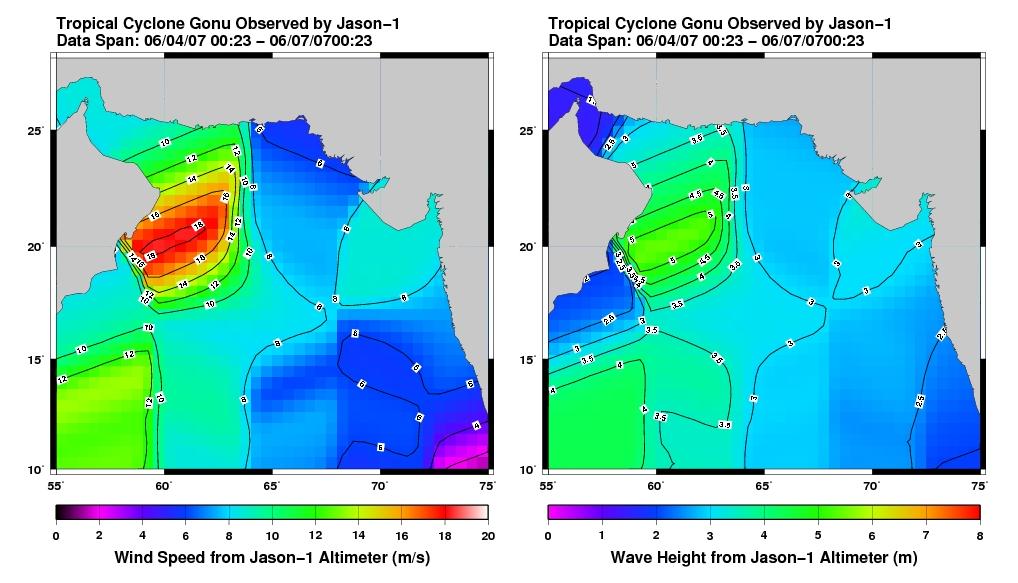
2007-06-08 | Earth |
Jason-1 |
Altimeter |
1018x583x3 |
|
|||||
|
|
2007-11-07 | Earth |
Jason-1 |
Altimeter |
900x900x3 |
|
|||||
|
|
2008-04-22 | Earth |
Jason-1 |
Altimeter |
900x900x3 |
|
|||||
|
|
2008-07-31 | Earth |
Jason-1 |
Altimeter |
919x699x3 |
|
|||||
|
|
2008-09-24 | Earth |
OSTM/Jason-2 |
Altimeter |
1225x710x3 |
|
|||||
|
|
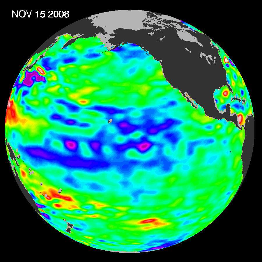
2008-12-13 | Earth |
Jason-1 |
Altimeter |
900x900x3 |
|
|||||
|
|
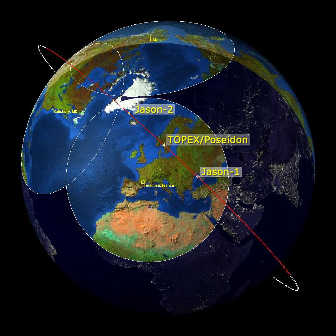
2009-02-06 | Earth |
Jason-1 OSTM/Jason-2 |
Altimeter |
1074x1074x3 |

|
|||||
|
|
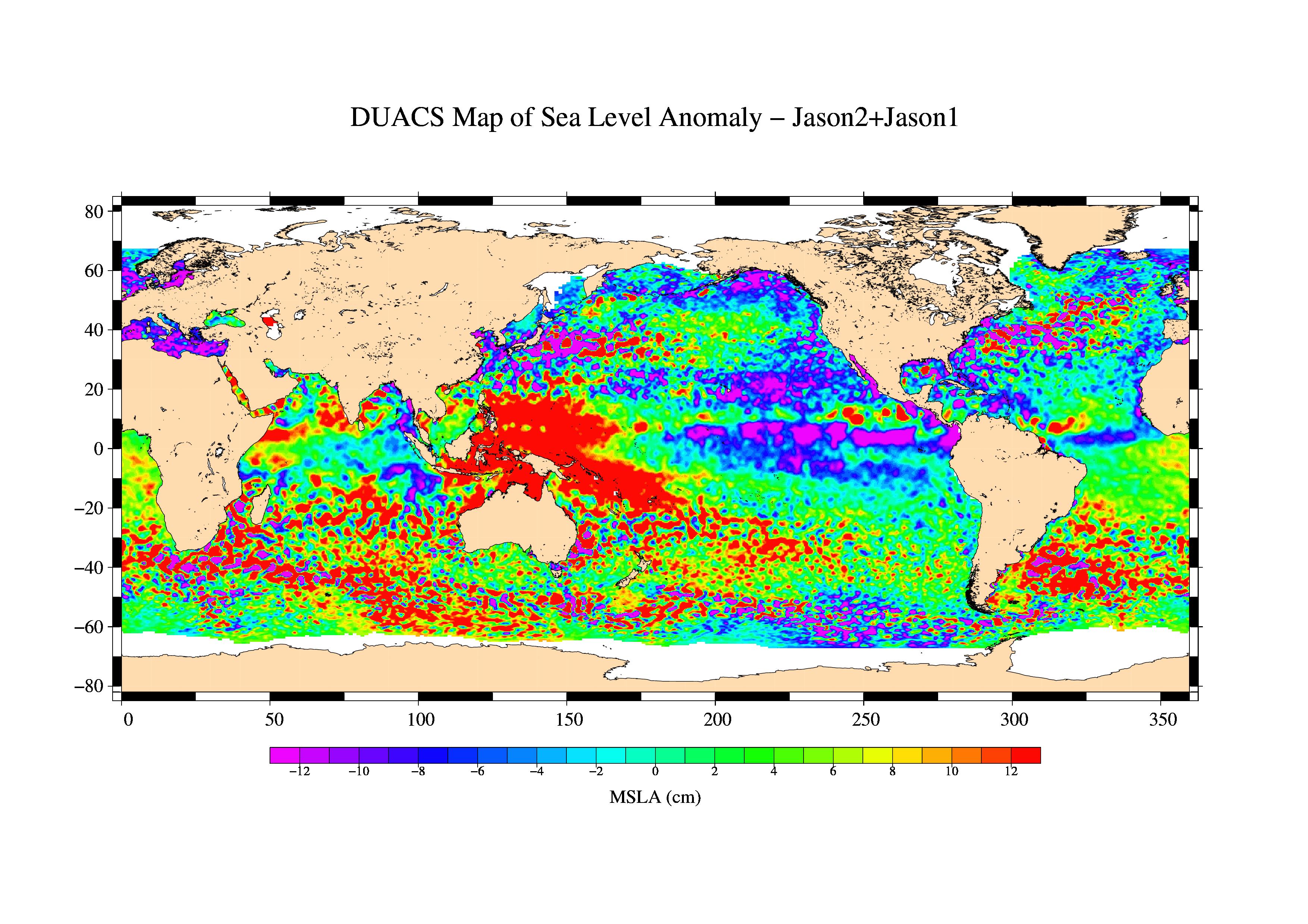
2009-03-26 | Earth |
Jason-1 OSTM/Jason-2 |
Altimeter |
3508x2479x3 |

|
|||||
|
|
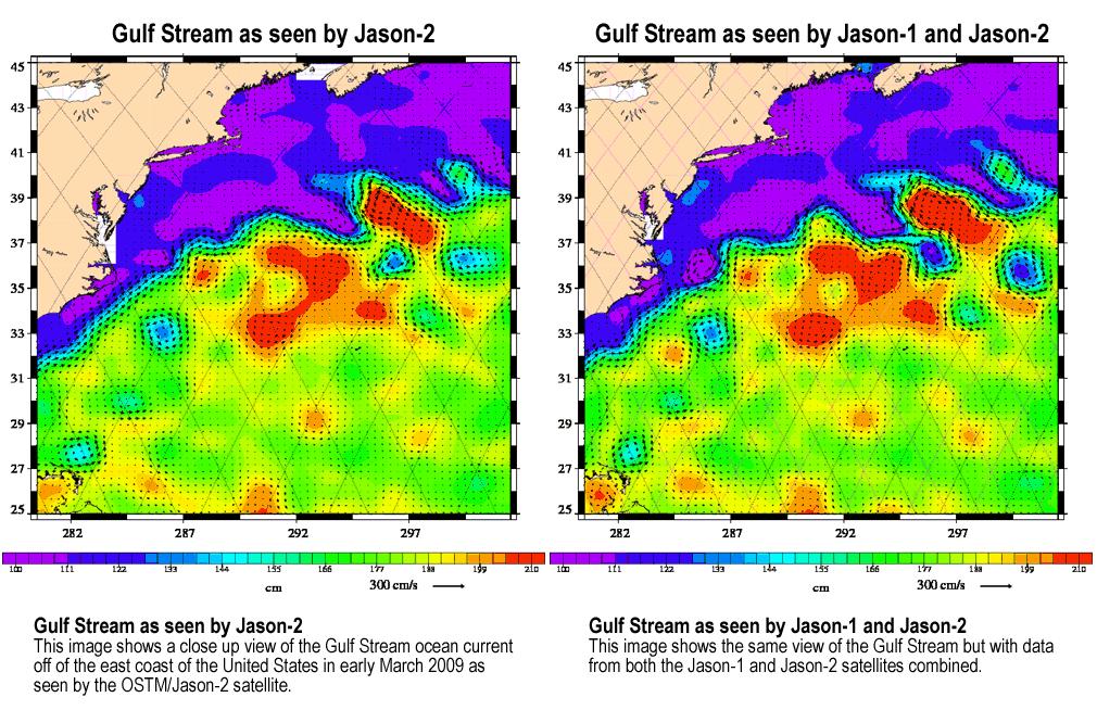
2009-04-27 | Earth |
Jason-1 OSTM/Jason-2 |
Altimeter |
1010x654x3 |
|
|||||
|
|
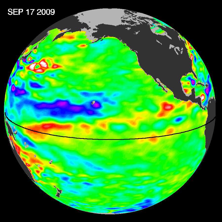
2009-10-29 | Earth |
OSTM/Jason-2 |
Altimeter |
900x900x3 |
|
|||||
|
|
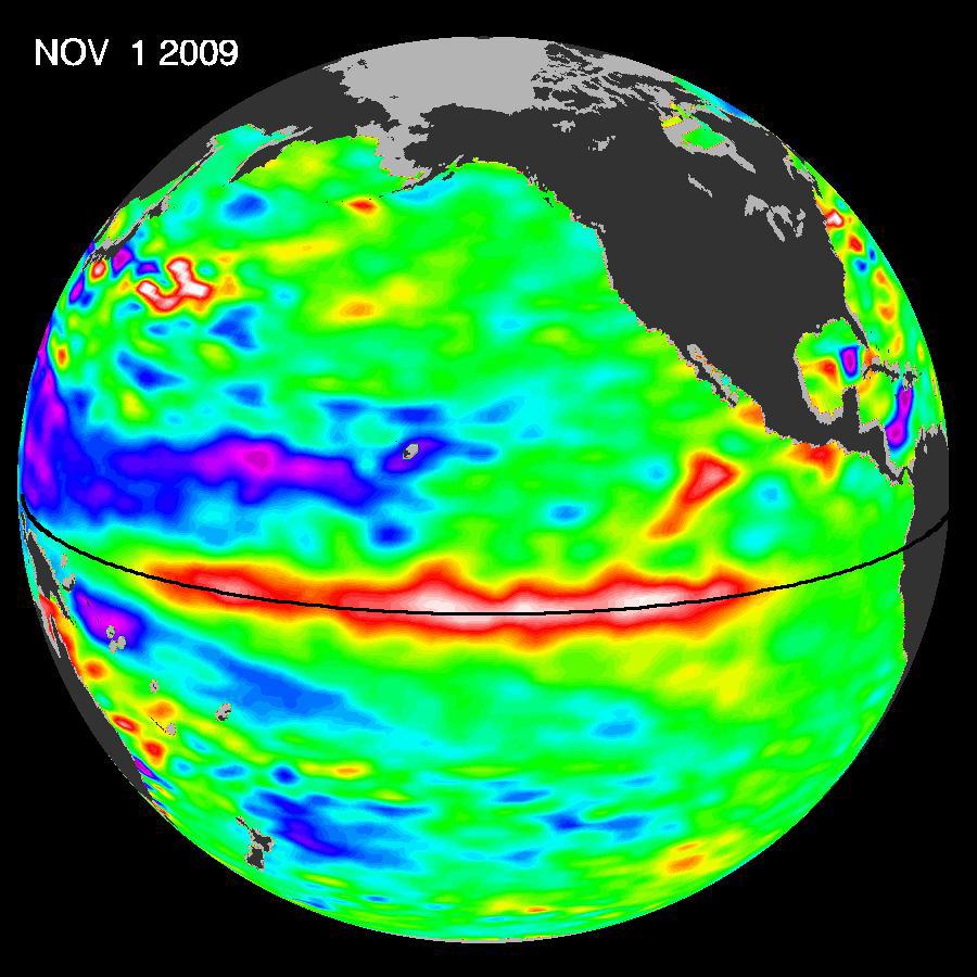
2009-11-12 | Earth |
OSTM/Jason-2 |
Altimeter |
900x900x3 |
|
|||||
|
|
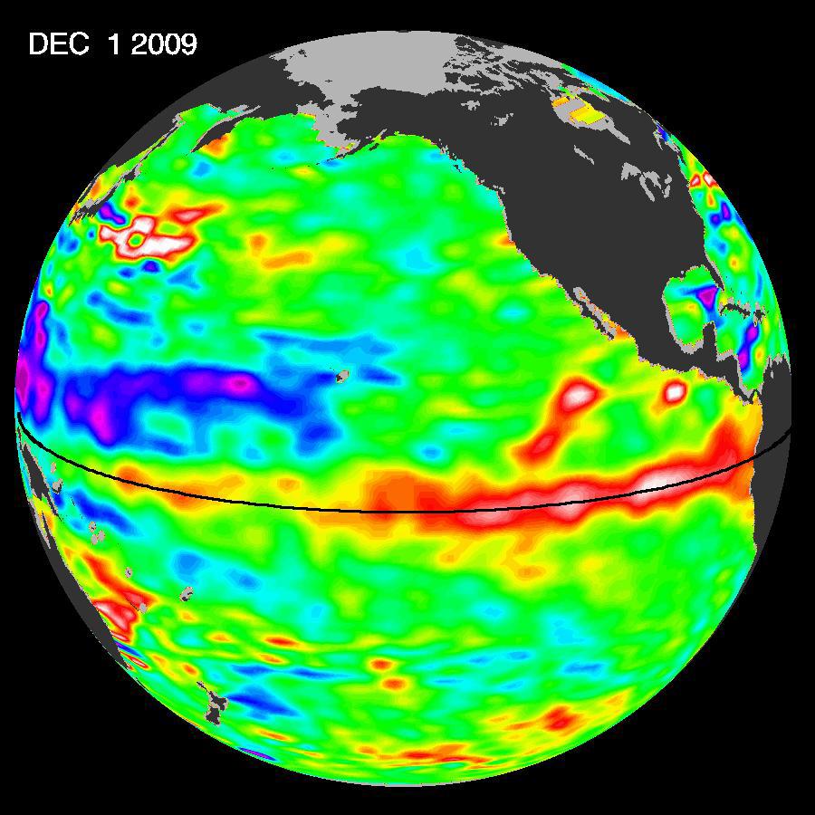
2009-12-17 | Earth |
OSTM/Jason-2 |
Altimeter |
900x900x3 |
|
|||||
|
|
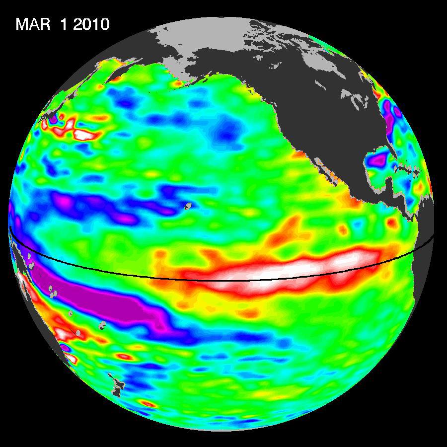
2010-03-16 | Earth |
OSTM/Jason-2 |
Altimeter |
900x900x3 |
|
|||||
|
|
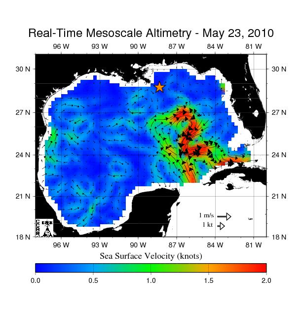
2010-05-24 | Earth |
OSTM/Jason-2 |
Altimeter |
612x627x3 |

|
|||||
|
|
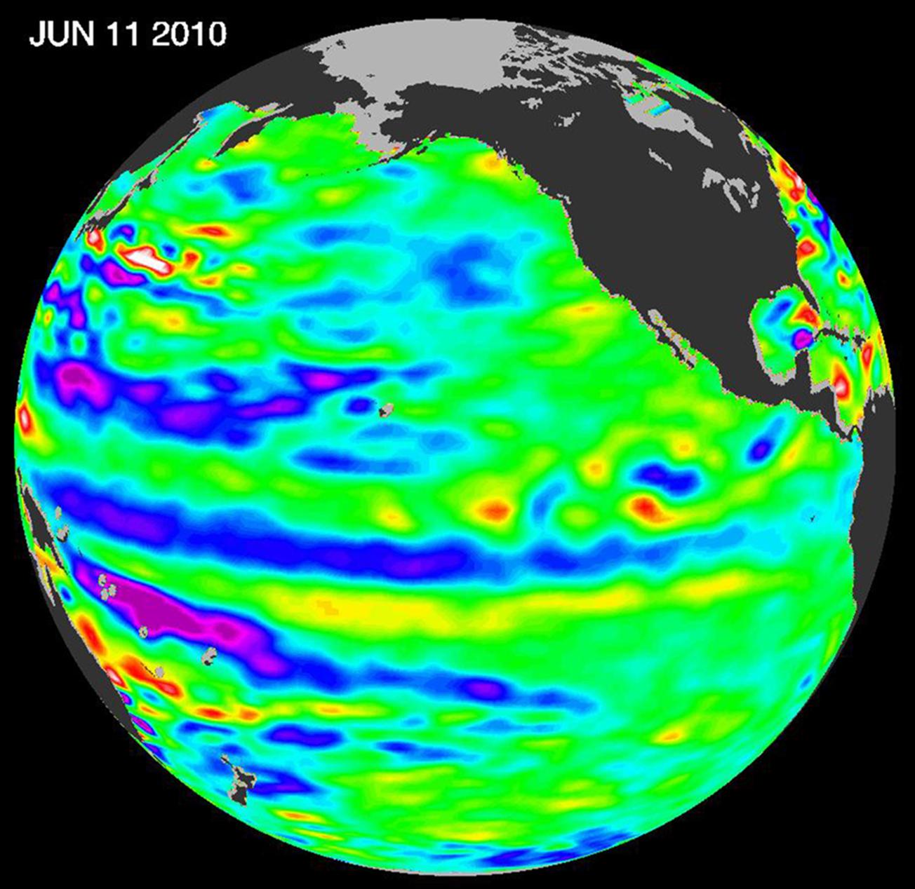
2010-06-22 | Earth |
OSTM/Jason-2 |
Altimeter |
1304x1268x3 |

|
|||||
|
|
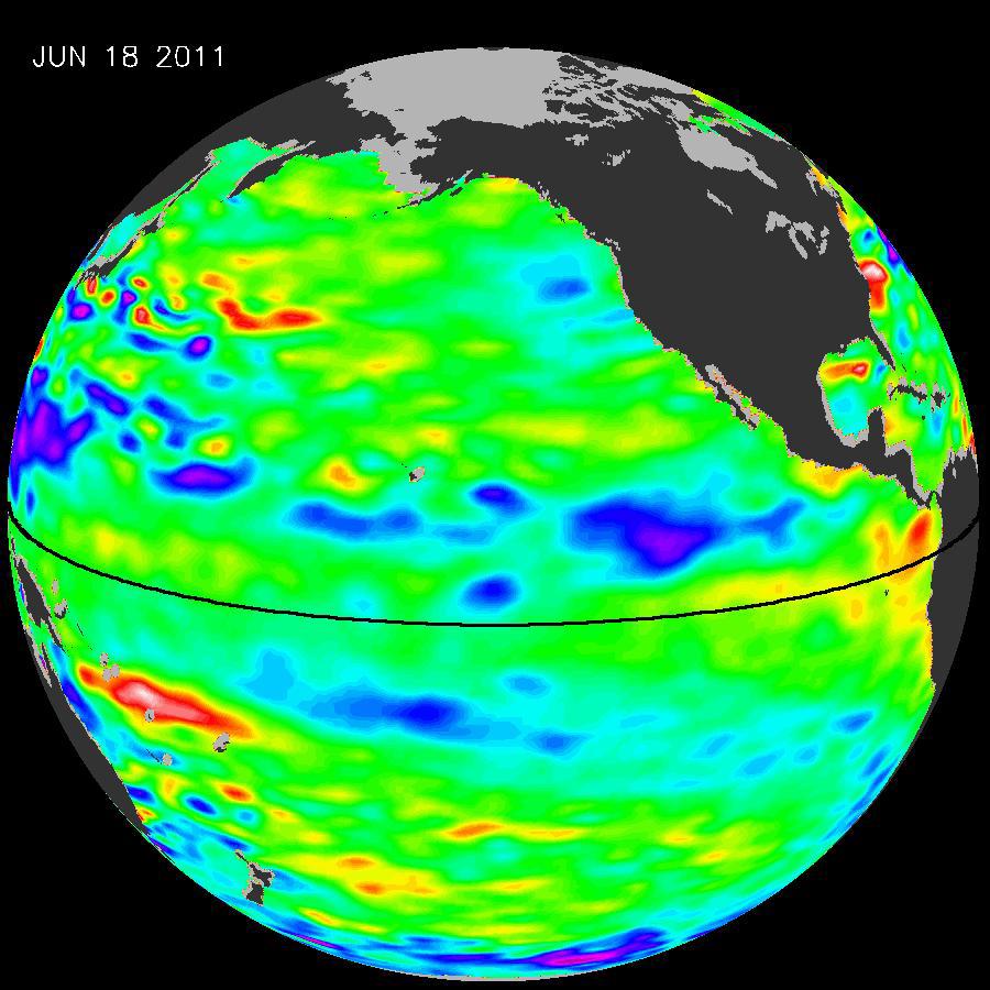
2011-07-06 | Earth |
OSTM/Jason-2 |
Altimeter |
900x900x3 |
|
|||||
|
|
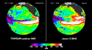
2012-10-17 | Earth |
Jason-1 (Topex/Poseidon) OSTM/Jason-2 |
Altimeter |
1384x858x3 |
|
|||||
|
|
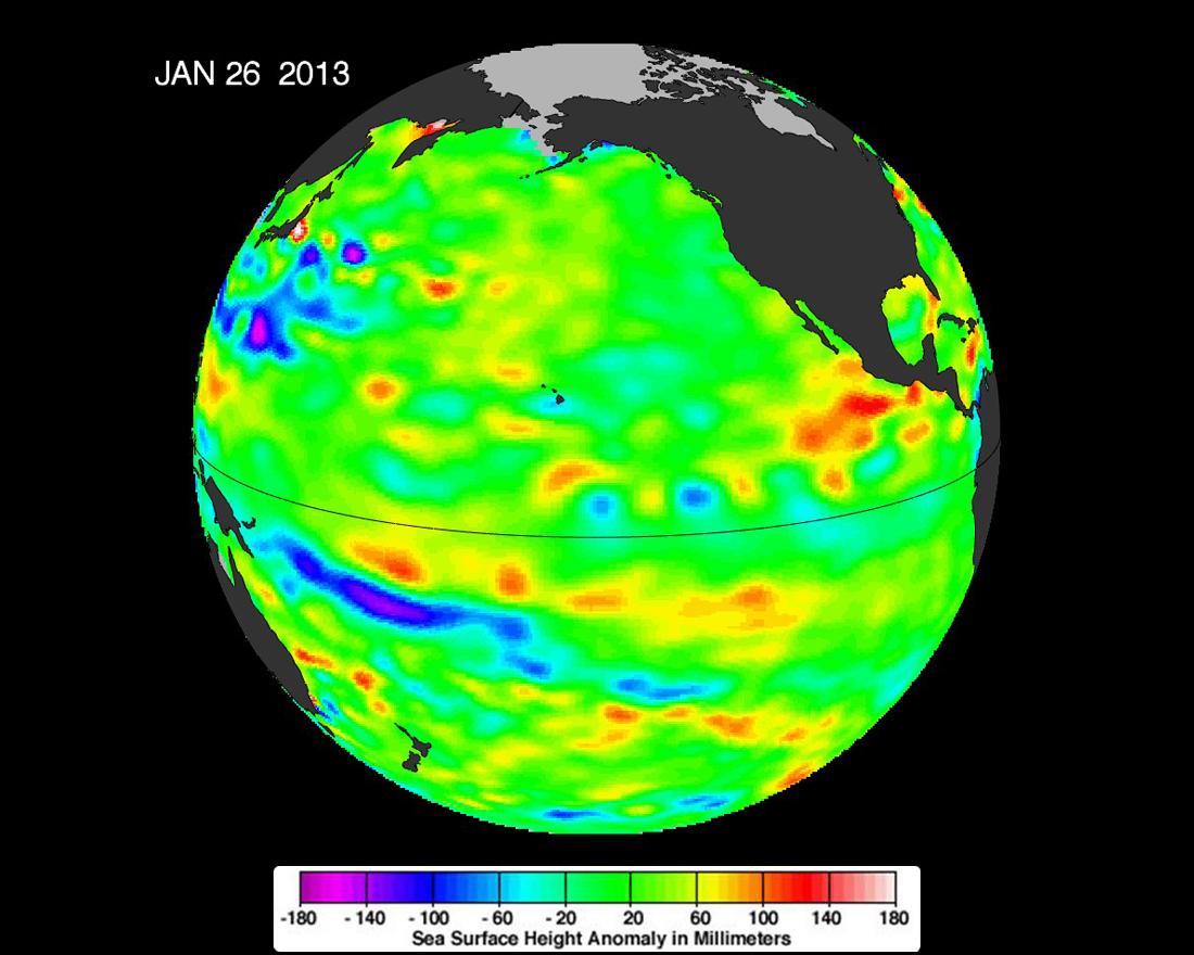
2013-02-07 | Earth |
OSTM/Jason-2 |
Altimeter |
1100x880x3 |
|
|||||
|
|
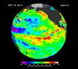
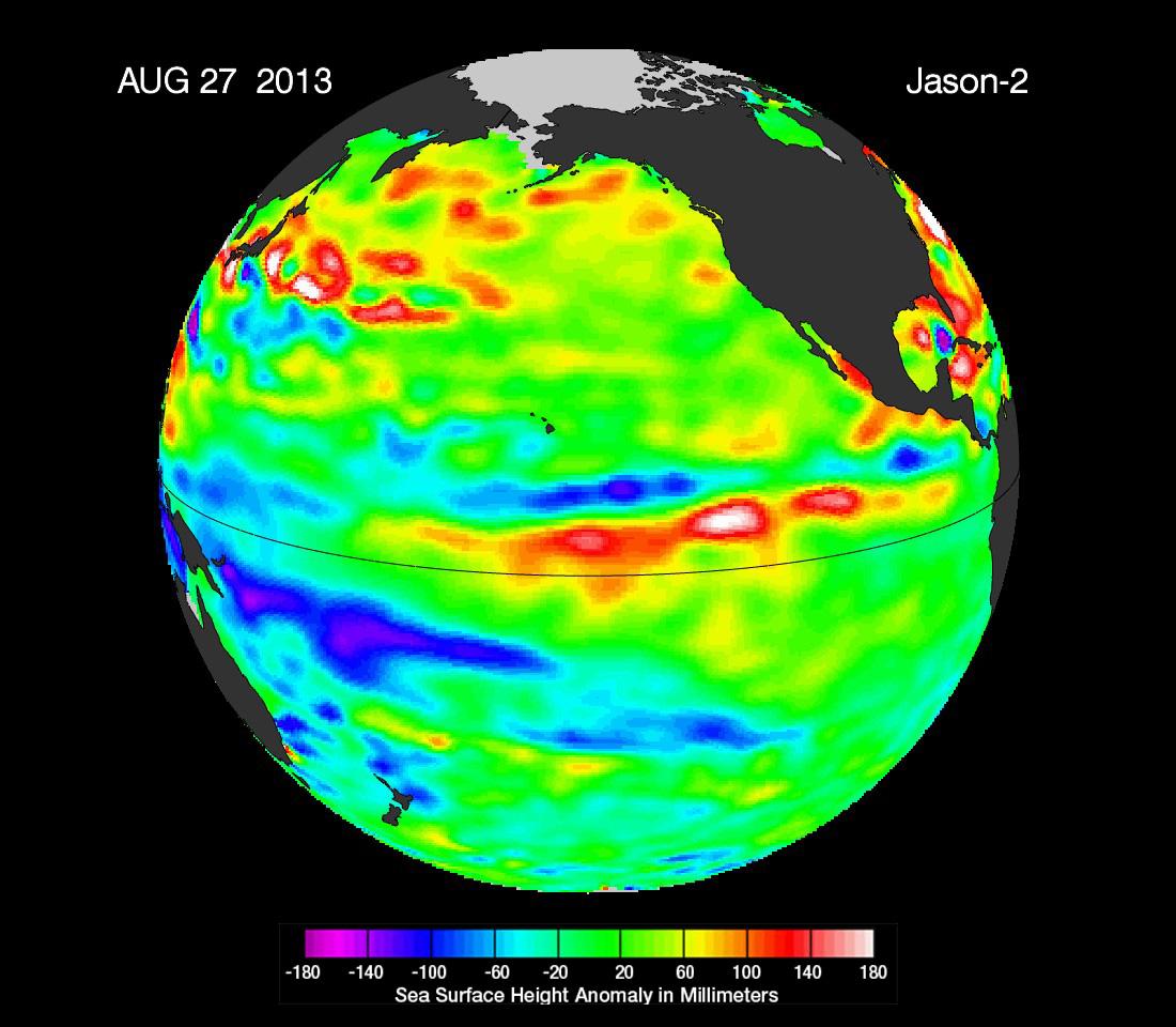
2013-09-09 | Earth |
OSTM/Jason-2 |
Altimeter |
1100x960x3 |
|
|||||
|
|
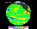
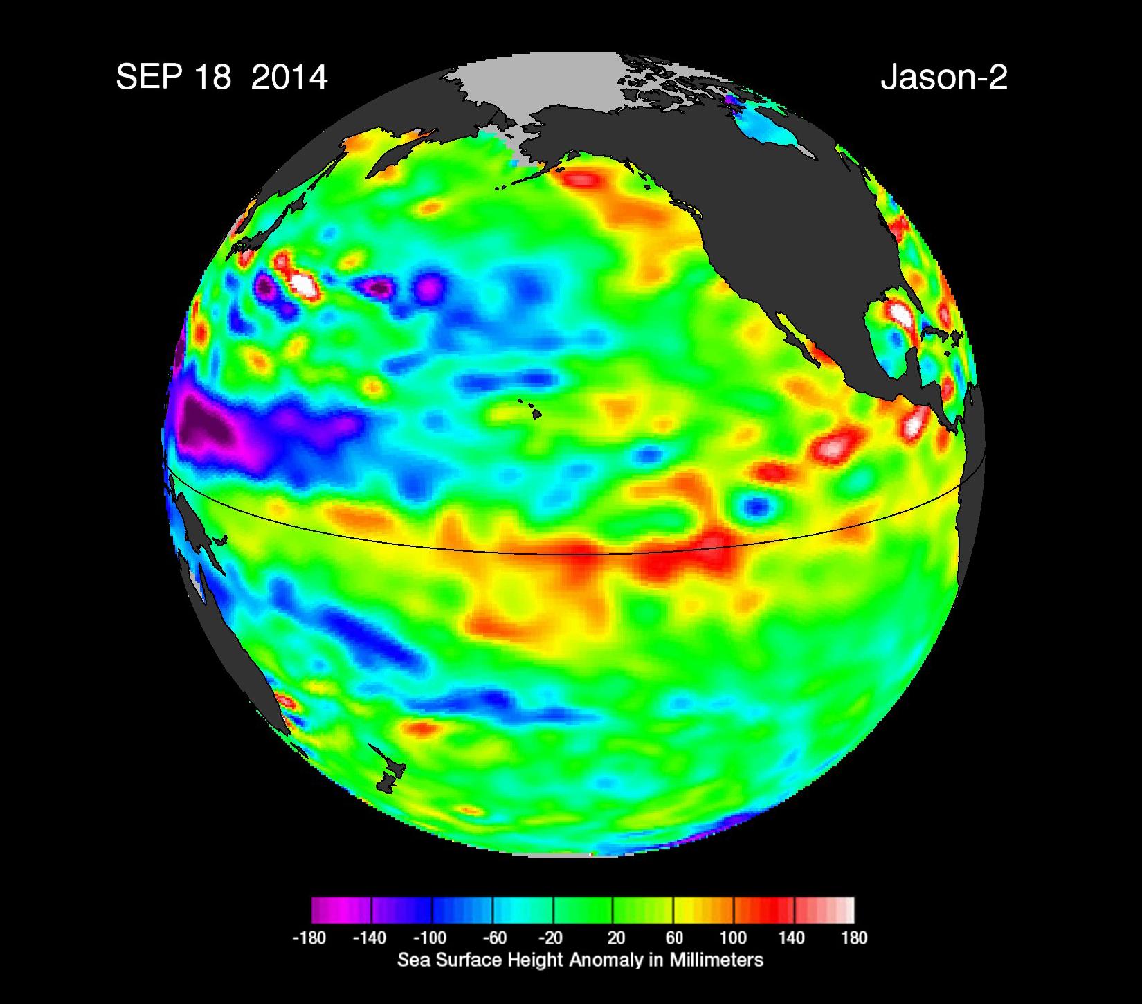
2014-09-22 | Earth |
OSTM/Jason-2 |
Altimeter |
1650x1450x3 |
|
|||||
|
|
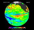
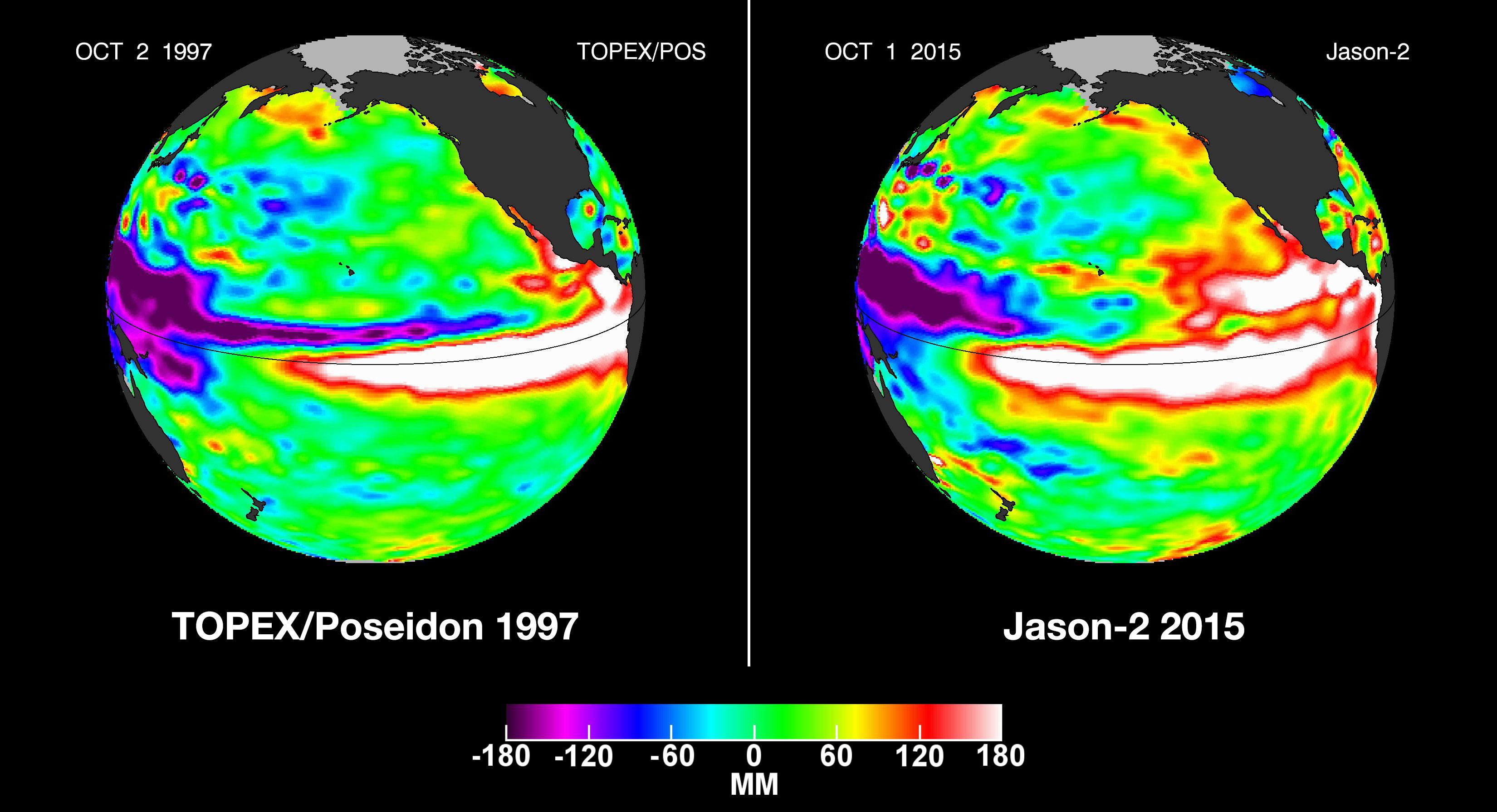
2015-10-19 | Earth |
OSTM/Jason-2 |
Altimeter |
3300x1791x3 |
|
|||||
|
|
1999-04-15 | Earth |
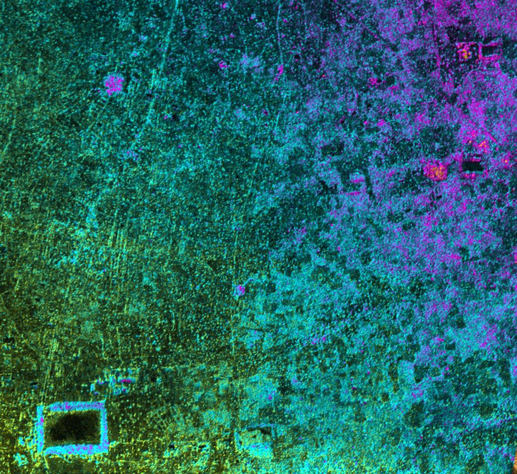
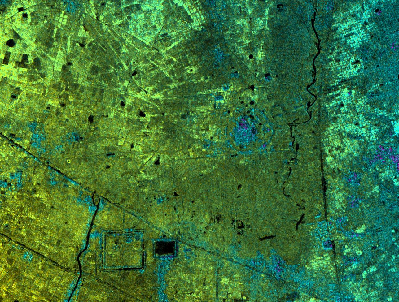
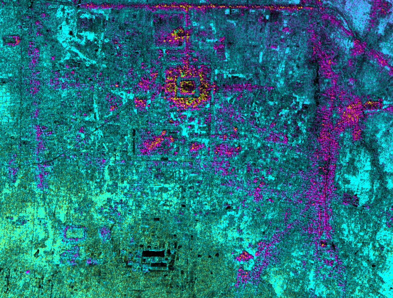
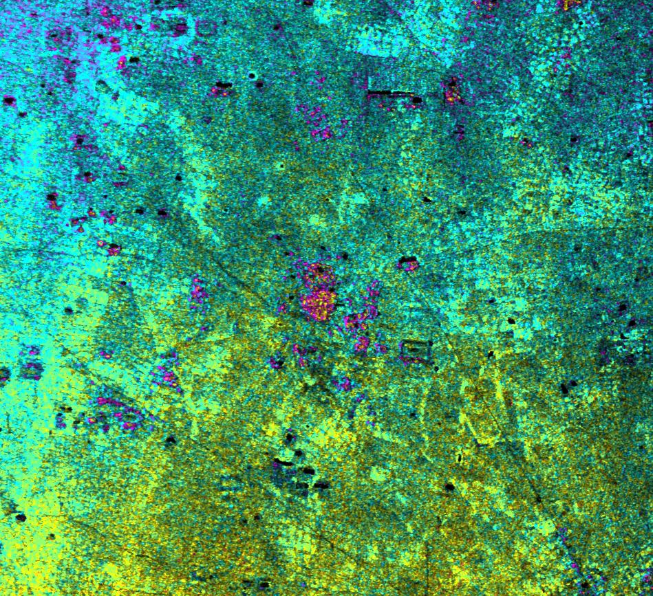
Airborne Synthetic Aperture Radar (AIRSAR) |
AirSAR |
1081x2137x3 |

|
|||||
|
|
2000-12-11 | Earth |
Airborne Synthetic Aperture Radar (AIRSAR) |
AirSAR |
1992x2018x3 |
|
|||||
|
|
2000-12-11 | Earth |
Airborne Synthetic Aperture Radar (AIRSAR) |
AirSAR |
2401x11984x3 |
|
|
|||||
|
|
2001-03-07 | Earth |
Airborne Synthetic Aperture Radar (AIRSAR) |
AirSAR |
1321x825x3 |
|
|||||
|
|
2001-11-04 | Earth |
Airborne Synthetic Aperture Radar (AIRSAR) |
AirSAR |
899x630x3 |
|
|||||
|
|
2001-11-04 | Earth |
Airborne Synthetic Aperture Radar (AIRSAR) |
AirSAR |
899x630x3 |
|
|||||
|
|
2001-11-04 | Earth |
Airborne Synthetic Aperture Radar (AIRSAR) |
AirSAR |
3000x2878x3 |
|
|||||
|
|
2001-11-04 | Earth |
Airborne Synthetic Aperture Radar (AIRSAR) |
AirSAR |
597x597x1 |
|
|||||
|
|
2001-11-04 | Earth |
Airborne Synthetic Aperture Radar (AIRSAR) |
AirSAR |
899x630x1 |
|
|||||
|
|
2001-11-04 | Earth |
Airborne Synthetic Aperture Radar (AIRSAR) |
AirSAR |
1467x711x3 |
|
|||||
|
|
2001-11-04 | Earth |
Airborne Synthetic Aperture Radar (AIRSAR) |
AirSAR |
1000x875x3 |
|
|||||
|
|
2002-10-11 | Earth |
Airborne Synthetic Aperture Radar (AIRSAR) |
AirSAR |
1064x976x3 |
|
|||||
|
|
2002-10-11 | Earth |
Airborne Synthetic Aperture Radar (AIRSAR) |
AirSAR |
670x671x3 |
|
|||||
|
|
2002-10-11 | Earth |
Airborne Synthetic Aperture Radar (AIRSAR) |
AirSAR |
1288x976x3 |
|
|||||
|
|
2002-10-11 | Earth |
Airborne Synthetic Aperture Radar (AIRSAR) |
AirSAR |
1288x976x3 |
|
|||||
|
|
2002-10-11 | Earth |
Airborne Synthetic Aperture Radar (AIRSAR) |
AirSAR |
949x867x3 |

|
|||||
|
|
2002-10-11 | Earth |
Airborne Synthetic Aperture Radar (AIRSAR) |
AirSAR |
1898x1734x3 |

|
|||||
|
|
2003-03-25 | Earth |
Airborne Synthetic Aperture Radar (AIRSAR) |
AirSAR |
783x1192x3 |
|
|||||
|
|
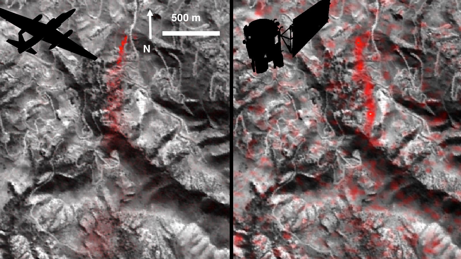
2016-06-14 | Earth |
Earth Observing System (EOS) |
AVIRIS Hyperion Hyperspectral Imager |
1600x900x3 |
|
|||||
|
|
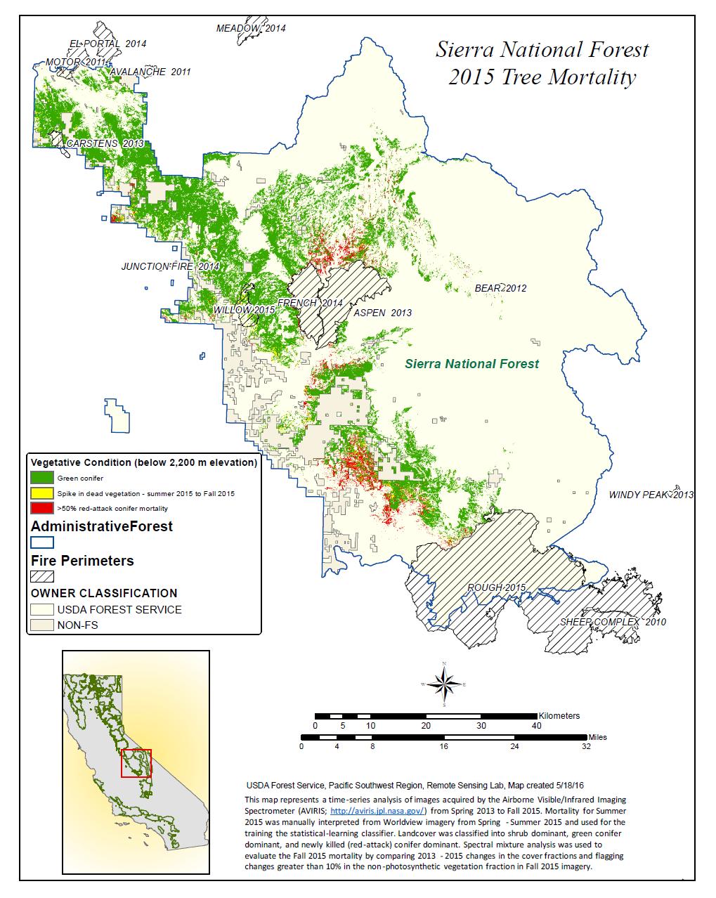
2010-05-27 | Earth |
AVIRIS |
324x523x3 | |

|
|||||
|
|
2015-04-09 | Earth |
AVIRIS |
1404x813x3 | |
|
|||||
|
|
2016-06-27 | Earth |
Earth Observing System (EOS) |
AVIRIS |
1019x1278x3 |
|
|||||
|
|
2017-12-08 | Earth |
Earth Observing System (EOS) |
AVIRIS |
2933x1520x3 |
|
|||||
|
|
2017-12-15 | Earth |
Earth Observing System (EOS) |
AVIRIS |
2999x2249x3 |
|
|||||
|
|
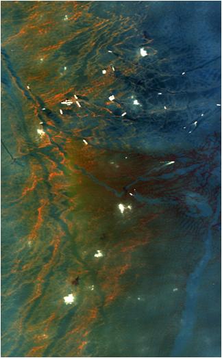
2004-06-25 | Earth |
Envisat |
Advanced Synthetic Aperture Radar (ASAR) |
710x609x3 |
|
|||||
|
|
2011-04-01 | Earth |
Envisat |
Advanced Synthetic Aperture Radar |
1015x1284x3 |
|
|||||
|
|
2011-04-01 | Earth |
Advanced Synthetic Aperture Radar |
2768x7680x3 | |
|
|
|||||
|
|
2018-09-14 | Earth |
Terra |
ASTER MODIS |
804x1627x3 |
|
|
|||||
|
|
2012-10-01 | Earth |
Terra |
ASTER InSAR |
1024x575x3 |
|
|||||
|
|
2005-01-14 | Earth |
Shuttle Radar Topography Mission (SRTM) Terra |
ASTER SIR-C/X-SAR |
1987x1840x3 |
|
|||||
|
|
2002-11-01 | Earth |
Shuttle Radar Topography Mission (SRTM) Terra |
ASTER C-Band Interferometric Radar |
1152x870x3 |

|
|||||
|
|
2002-11-01 | Earth |
Shuttle Radar Topography Mission (SRTM) Terra |
ASTER C-Band Interferometric Radar |
1152x870x3 |
|
|||||
|
|
2000-08-10 | Earth |
Shuttle Radar Topography Mission (SRTM) Terra |
ASTER C-Band Interferometric Radar |
1866x605x3 |

|
|||||
|
|
2015-02-19 | Earth |
Terra |
ASTER |
3300x2000x3 |
|
|||||
|
|
2002-10-29 | Earth |
Terra |
ASTER |
1400x1100x3 |
|
|||||
|
|
2000-03-11 | Earth |
Terra |
ASTER |
2263x2027x1 |
|
|||||
|
|
2000-03-11 | Earth |
Terra |
ASTER |
2160x2251x1 |
|
|||||
|
|
2000-03-11 | Earth |
Terra |
ASTER |
2288x2288x3 |
|
|||||
|
|
2011-11-10 | Earth |
Terra |
ASTER |
4032x7962x3 |
|
|||||
|
|
2000-04-26 | Earth |
Terra |
ASTER |
2100x1445x3 |
|
|||||
|
|
2000-04-26 | Earth |
Terra |
ASTER |
4100x4980x3 |
|
|||||
|
|
2000-04-26 | Earth |
Terra |
ASTER |
4100x5400x3 |
|
|||||
|
|
2000-04-26 | Earth |
Terra |
ASTER |
4100x6177x3 |
|
|||||
|
|
2000-04-26 | Earth |
Terra |
ASTER |
1174x1447x3 |
|
|||||
|
|
2000-10-06 | Earth |
Terra |
ASTER |
4980x4200x3 |

|
|||||
|
|
2000-10-06 | Earth |
Terra |
ASTER |
930x911x3 |
|
|||||
|
|
2000-10-06 | Earth |
Terra |
ASTER |
2470x1828x3 |
|
|||||
|
|
2000-10-06 | Earth |
Terra |
ASTER |
2280x3887x3 |

|
|||||
|
|
2000-10-06 | Earth |
Terra |
ASTER |
2645x1050x3 |

|
|||||
|
|
2000-10-06 | Earth |
Terra |
ASTER |
1595x1925x3 |
|
|||||

|
 |
|
|
|
|
|
|
|
|
|

|
| 1-100 | 101-200 | 201-300 | 301-400 | 401-500 | 501-600 | 601-700 | 701-800 | 801-900 | 901-1000 |
| Currently displaying images: 1401 - 1500 of 2598 |