|
Your search criteria found 2289 images Target is Earth |
| My List |
Addition Date
|
Target | Mission | Instrument | Size |

|
2002-11-07 | Earth |
Terra |
ASTER |
4896x4188x3 |
|
|||||
|
|
2002-11-08 | Earth |
Landsat Shuttle Radar Topography Mission (SRTM) |
C-Band Interferometric Radar Thematic Mapper |
7350x10850x3 |
|
|||||
|
|
2002-11-08 | Earth |
Landsat Shuttle Radar Topography Mission (SRTM) |
C-Band Interferometric Radar Thematic Mapper |
1389x682x3 |
|
|||||
|
|
2002-11-13 | Earth |
Aqua |
AIRS |
960x1076x3 |
|
|||||
|
|
2002-11-13 | Earth |
Terra |
MISR |
1079x984x3 |

|
|||||
|
|
2002-11-14 | Earth |
Shuttle Radar Topography Mission (SRTM) |
C-Band Interferometric Radar |
9000x15666x3 |

|
|||||
|
|
2002-11-20 | Earth |
Terra |
MISR |
2207x1900x3 |
|
|||||
|
|
2002-11-27 | Earth |
Terra |
MISR |
3036x2560x3 |
|
|||||
|
|
2002-12-04 | Earth |
Terra |
MISR |
1072x1074x3 |

|
|||||
|
|
2002-12-11 | Earth |
Terra |
MISR |
1260x1014x3 |
|
|||||
|
|
2002-12-12 | Earth |
Shuttle Radar Topography Mission (SRTM) |
C-Band Interferometric Radar |
2500x2000x3 |

|
|||||
|
|
2002-12-12 | Earth |
Jason-1 |
Altimeter |
900x900x3 |
|
|||||
|
|
2002-12-13 | Earth |
Terra |
ASTER |
3441x1982x3 |

|
|||||
|
|
2002-12-18 | Earth |
Terra |
MISR |
889x906x3 |
|
|||||
|
|
2002-12-19 | Earth |
Aqua |
AIRS |
1280x1280x3 |
|
|||||
|
|
2002-12-23 | Earth |
Terra |
ASTER |
700x910x3 |

|
|||||
|
|
2002-12-23 | Earth |
Landsat Shuttle Radar Topography Mission (SRTM) |
C-Band Interferometric Radar Thematic Mapper |
4475x1896x3 |
|
|||||
|
|
2003-01-02 | Earth |
Terra |
MISR |
1522x1789x3 |
|
|||||
|
|
2003-01-08 | Earth |
QuikScat |
SeaWinds Scatterometer |
800x667x3 |
|
|||||
|
|
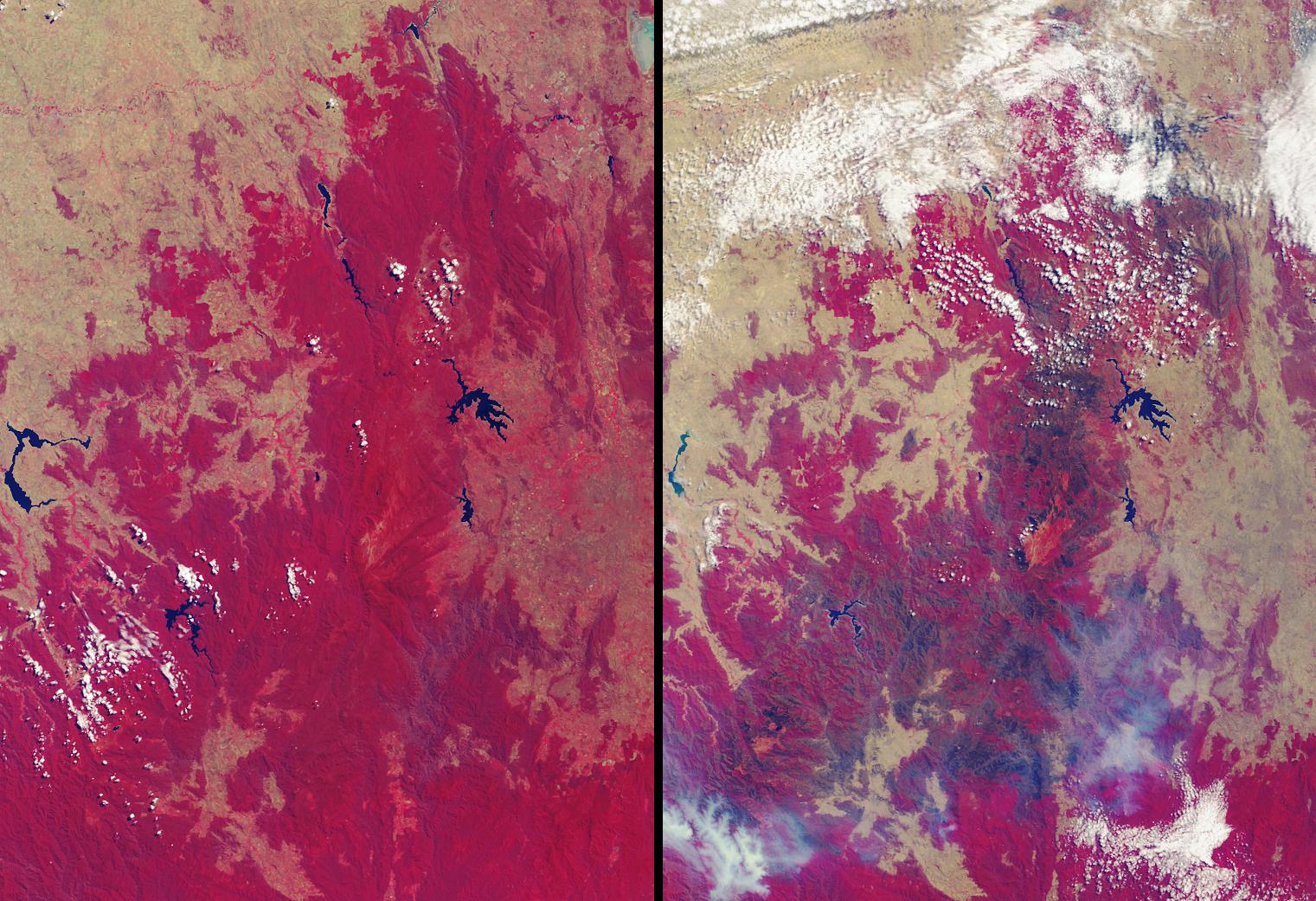
2003-01-08 | Earth |
Terra |
ASTER |
1914x1960x3 |
|
|||||
|
|
2003-01-08 | Earth |
Terra |
MISR |
1559x1368x3 |
|
|||||
|
|
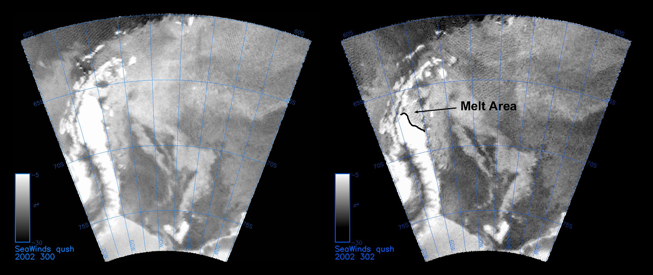
2003-01-13 | Earth |
QuikScat |
SeaWinds Scatterometer |
2490x1050x3 |
|
|||||
|
|
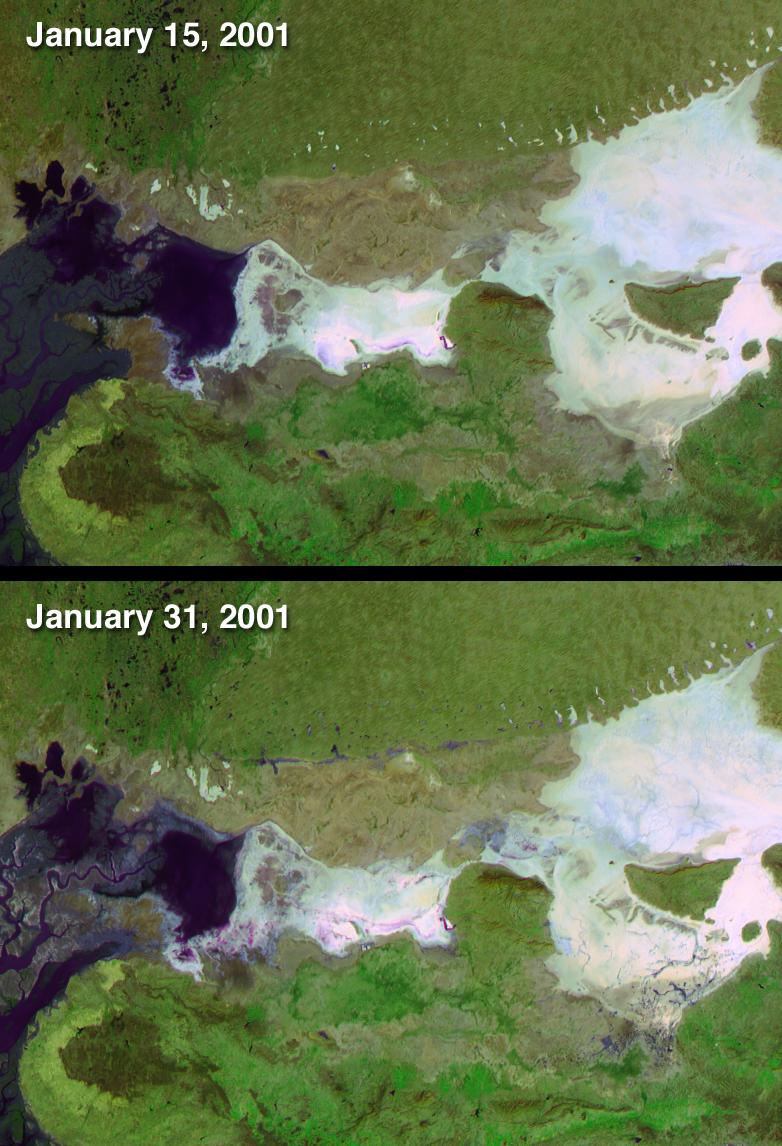
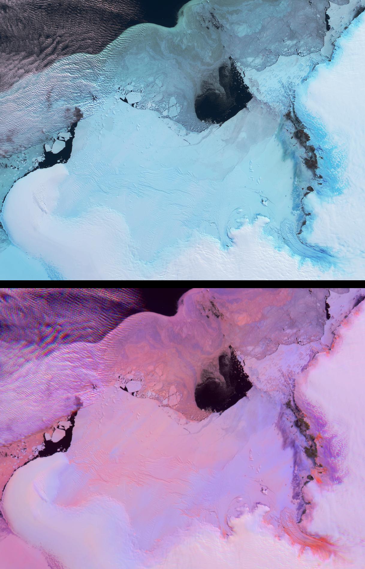
2003-01-15 | Earth |
Terra |
MISR |
940x738x3 |
|
|||||
|
|
2003-01-18 | Earth |
Terra |
ASTER |
3685x2635x3 |
|
|||||
|
|
2003-01-22 | Earth |
Terra |
MISR |
1632x1869x3 |
|
|||||
|
|
2003-01-29 | Earth |
Terra |
MISR |
3200x1420x3 |

|
|||||
|
|
2003-02-05 | Earth |
Terra |
MISR |
782x1146x3 |
|
|||||
|
|
2003-02-12 | Earth |
Terra |
MISR |
2070x2288x3 |
|
|||||
|
|
2003-02-19 | Earth |
Terra |
MISR |
1218x1896x3 |

|
|||||
|
|
2003-02-24 | Earth |
SeaWinds |
SeaWinds Scatterometer |
3956x1978x3 |
|
|||||
|
|
2003-02-26 | Earth |
Terra |
MISR |
691x1200x3 |

|
|||||
|
|
2003-03-05 | Earth |
Terra |
MISR |
1521x1041x3 |

|
|||||
|
|
2003-03-06 | Earth |
Shuttle Radar Topography Mission (SRTM) |
C-Band Interferometric Radar |
9600x7240x3 |
|
|||||
|
|
2003-03-06 | Earth |
Shuttle Radar Topography Mission (SRTM) |
C-Band Interferometric Radar |
9600x7240x3 |

|
|||||
|
|
2003-03-06 | Earth |
Shuttle Radar Topography Mission (SRTM) |
C-Band Interferometric Radar |
18001x11438x3 |
|
|||||
|
|
2003-03-06 | Earth |
Shuttle Radar Topography Mission (SRTM) |
C-Band Interferometric Radar |
1600x1080x3 |
|
|||||
|
|
2003-03-06 | Earth |
Shuttle Radar Topography Mission (SRTM) |
C-Band Interferometric Radar |
3010x3416x3 |

|
|||||
|
|
2003-03-11 | Earth |
Aqua |
AIRS |
1003x946x3 |

|
|||||
|
|
2003-03-12 | Earth |
Terra |
MISR |
1134x1885x3 |
|
|||||
|
|
2003-03-13 | Earth |
Shuttle Radar Topography Mission (SRTM) |
C-Band Interferometric Radar |
1587x1536x3 |
|
|||||
|
|
2003-03-13 | Earth |
Shuttle Radar Topography Mission (SRTM) |
C-Band Interferometric Radar |
628x801x3 |
|
|||||
|
|
2003-03-19 | Earth |
Terra |
MISR |
1060x1344x3 |

|
|||||
|
|
2003-03-25 | Earth |
Airborne Synthetic Aperture Radar (AIRSAR) |
AirSAR |
783x1192x3 |
|
|||||
|
|
2003-03-26 | Earth |
Terra |
MISR |
1344x2219x3 |

|
|||||
|
|
2003-03-27 | Earth |
Shuttle Radar Topography Mission (SRTM) |
C-Band Interferometric Radar |
3200x3400x3 |
|
|||||
|
|
2003-03-27 | Earth |
Shuttle Radar Topography Mission (SRTM) |
C-Band Interferometric Radar |
1573x2401x3 |
|
|||||
|
|
2003-04-02 | Earth |
Terra |
ASTER |
2115x2139x3 |
|
|||||
|
|
2003-04-02 | Earth |
Terra |
MISR |
2366x1722x3 |

|
|||||
|
|
2003-04-09 | Earth |
Terra |
MISR |
1362x1824x3 |
|
|||||
|
|
2003-04-11 | Earth |
Terra |
ASTER |
3782x2037x3 |
|
|||||
|
|
2003-04-23 | Earth |
Terra |
MISR |
1314x1756x3 |
|
|||||
|
|
2003-04-30 | Earth |
Terra |
MISR |
2156x3424x3 |
|
|||||
|
|
2003-05-01 | Earth |
Landsat Shuttle Radar Topography Mission (SRTM) |
C-Band Interferometric Radar Thematic Mapper |
3162x1581x3 |
|
|||||
|
|
2003-05-01 | Earth |
Landsat Shuttle Radar Topography Mission (SRTM) |
C-Band Interferometric Radar Thematic Mapper |
3262x3162x3 |
|
|||||
|
|
2003-05-07 | Earth |
Terra |
MISR |
2476x2291x3 |

|
|||||
|
|
2003-05-15 | Earth |
Terra |
MISR |
2400x2400x3 |
|
|||||
|
|
2003-05-21 | Earth |
Terra |
MISR |
794x858x3 |

|
|||||
|
|
2003-05-22 | Earth |
Mars Global Surveyor (MGS) |
Mars Orbiter Camera (MOC) |
1068x3151x3 |
|
|
|||||
|
|
2003-05-22 | Earth |
Mars Global Surveyor (MGS) |
Mars Orbiter Camera (MOC) |
961x961x3 |
|
|||||
|
|
2003-05-28 | Earth |
Terra |
MISR |
1078x1282x3 |
|
|||||
|
|
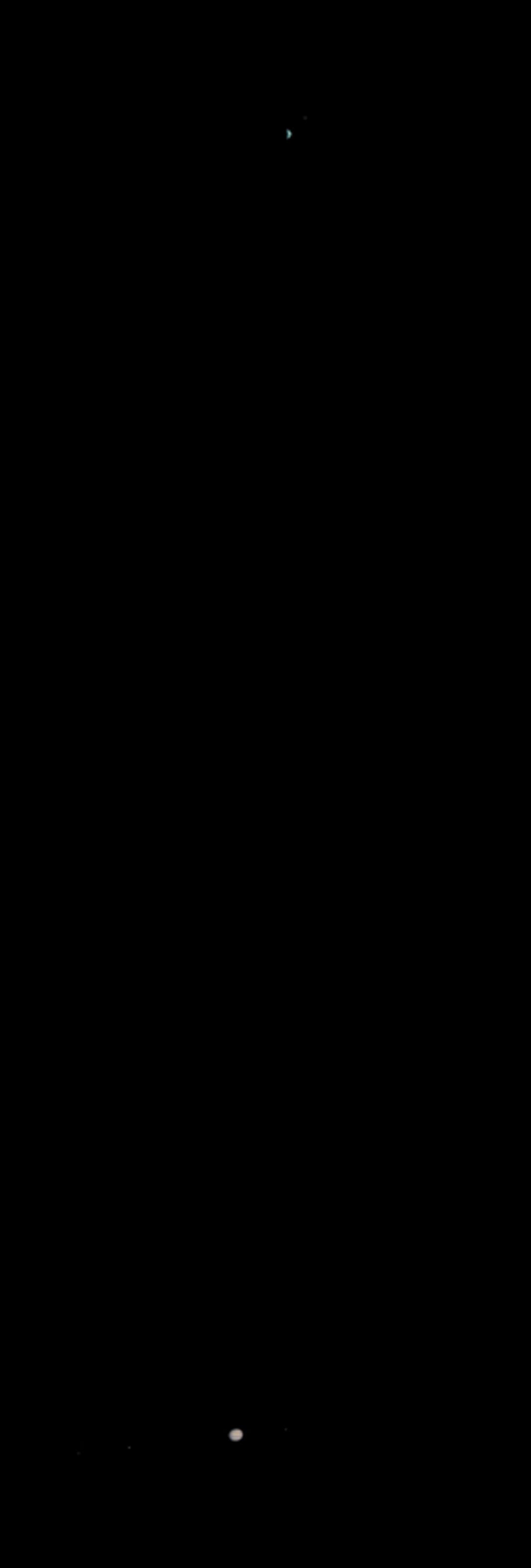
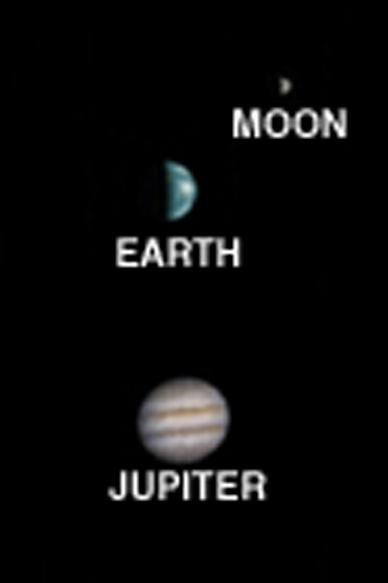
2003-05-28 | Mars |
Mars Global Surveyor (MGS) |
Mars Orbiter Camera (MOC) |
388x583x3 |
|
|||||
|
|
2003-06-02 | Earth |
Aqua |
AIRS |
1437x921x3 |
|
|||||
|
|
2003-06-03 | Earth |
Terra |
MISR |
400x309x3 |
|
|||||
|
|
2003-06-04 | Earth |
Terra |
MISR |
1466x896x3 |
|
|||||
|
|
2003-06-11 | Earth |
Terra |
MISR |
1797x2300x3 |
|
|||||
|
|
2003-06-19 | Earth |
Shuttle Radar Topography Mission (SRTM) |
C-Band Interferometric Radar |
7200x10886x3 |
|
|||||
|
|
2003-06-19 | Earth |
Shuttle Radar Topography Mission (SRTM) |
C-Band Interferometric Radar |
7200x10886x3 |

|
|||||
|
|
2003-06-19 | Earth |
Shuttle Radar Topography Mission (SRTM) |
C-Band Interferometric Radar |
960x725x3 |
|
|||||
|
|
2003-06-25 | Earth |
Terra |
MISR |
1438x620x3 |

|
|||||
|
|
2003-07-01 | Earth |
Terra |
ASTER |
2748x3156x3 |

|
|||||
|
|
2003-07-03 | Earth |
Landsat Shuttle Radar Topography Mission (SRTM) |
C-Band Interferometric Radar |
1025x577x3 |

|
|||||
|
|
2003-07-03 | Earth |
Landsat Shuttle Radar Topography Mission (SRTM) |
C-Band Interferometric Radar |
2805x1705x3 |
|
|||||
|
|
2003-07-14 | Earth |
Jason-1 |
Altimeter |
900x900x3 |
|
|||||
|
|
2003-07-16 | Earth |
Terra |
MISR |
1174x970x3 |

|
|||||
|
|
2003-07-21 | Earth |
GRACE |
K-Band Ranging System |
2037x1645x3 |
|
|||||
|
|
2003-07-25 | Earth |
Shuttle Radar Topography Mission (SRTM) |
C-Band Interferometric Radar |
8688x8296x3 |
|
|||||
|
|
2003-08-13 | Earth |
Terra |
MISR |
1798x920x3 |
|
|||||
|
|
2003-08-21 | Earth |
Shuttle Radar Topography Mission (SRTM) |
C-Band Interferometric Radar |
14850x8000x3 |

|
|||||
|
|
2003-08-21 | Earth |
Shuttle Radar Topography Mission (SRTM) |
C-Band Interferometric Radar |
21600x9049x3 |
|
|||||
|
|
2003-08-21 | Earth |
Shuttle Radar Topography Mission (SRTM) |
C-Band Interferometric Radar |
1900x1070x3 |
|
|||||
|
|
2003-09-10 | Earth |
Terra |
MISR |
1280x866x3 |
|
|||||
|
|
2003-09-18 | Earth |
Aqua |
AIRS |
489x471x3 |
|
|||||
|
|
2003-09-18 | Earth |
Terra |
MISR |
1011x1115x3 |
|
|||||
|
|
2003-09-20 | Earth |
Aqua |
AIRS Scatterometer (SeaWinds) |
500x500x3 |
|
|||||
|
|
2003-09-20 | Earth |
Aqua |
AIRS |
500x500x3 |
|
|||||
|
|
2003-09-24 | Earth |
Terra |
MISR |
1291x1683x3 |
|
|||||
|
|
2003-10-08 | Earth |
Terra |
MISR |
1270x1468x3 |

|
|||||
|
|
2003-10-22 | Earth |
Terra |
MISR |
1539x2131x3 |
|
|||||
|
|
2003-10-24 | Earth |
Shuttle Radar Topography Mission (SRTM) |
C-Band Interferometric Radar X-Band Radar |
1528x917x3 |

|
|||||
|
|
2003-10-29 | Earth |
Terra |
MISR |
2464x2300x3 |
|
|||||
|
|
2003-11-12 | Earth |
Terra |
MISR |
945x805x3 |

|
|||||
|
|
2003-11-18 | Earth |
Jason-1 |
Altimeter |
900x900x3 |
|
|||||
|
|
2003-11-19 | Earth |
Terra |
MISR |
1200x1128x3 |
|
|||||
|
|
2003-11-19 | Earth |
Terra |
ASTER |
4038x3056x3 |

|
|||||
|
|
2003-11-26 | Earth |
Terra |
MISR |
877x1185x3 |

|
|||||
|
|
2003-12-04 | Earth |
Terra |
MISR |
2895x3200x3 |

|
|||||
|
|
2003-12-10 | Earth |
Terra |
MISR |
1062x860x3 |
|
|||||
|
|
2003-12-23 | Earth |
Terra |
MISR |
924x764x3 |
|
|||||
|
|
2004-01-07 | Earth |
Terra |
MISR |
1374x889x3 |
|
|||||
|
|
2004-01-21 | Earth |
Terra |
MISR |
2574x2766x3 |
|
|||||

|
 |
|
|
|
|
|
|
 |
 |
|

|
| 1-100 | 101-200 | 201-300 | 301-400 | 401-500 | 501-600 | 601-700 | 701-800 | 801-900 | 901-1000 |
| Currently displaying images: 701 - 800 of 2289 |