|
Your search criteria found 2289 images Target is Earth |
| My List |
Addition Date
|
Target | Mission | Instrument | Size |

|
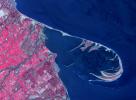
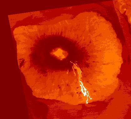
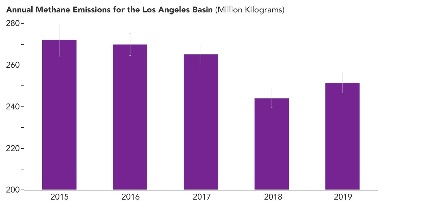
2024-07-19 | Earth |
Terra |
ASTER |
1777x1921x3 |
|
|||||
|
|
2024-07-19 | Earth | 1654x1578x3 | ||
|
|||||
|
|
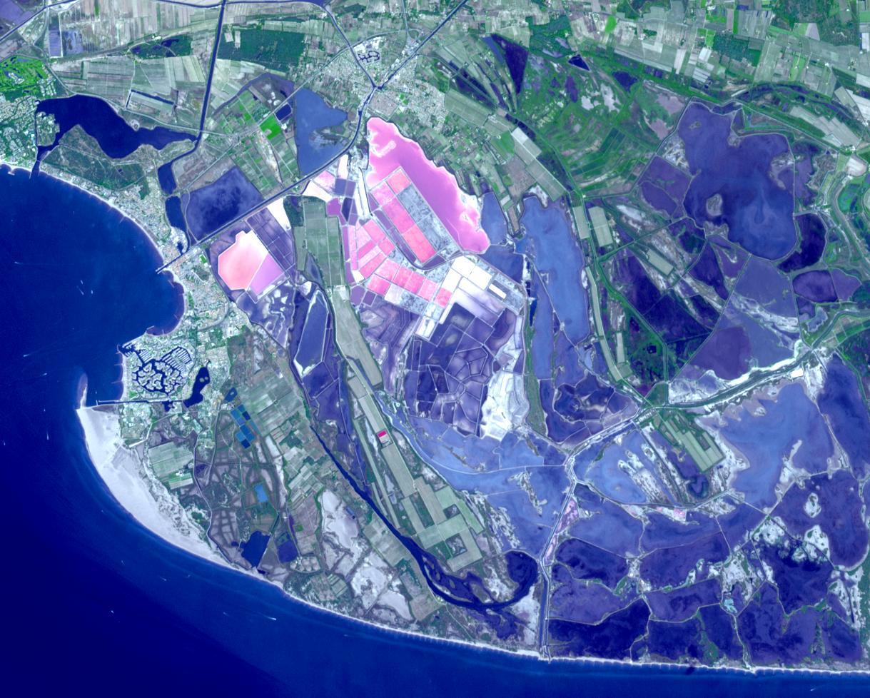
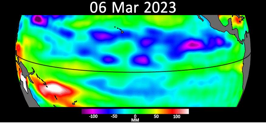
2024-07-02 | Earth |
ECOSTRESS |
ECOSTRESS |
5846x4133x3 |
|
|||||
|
|
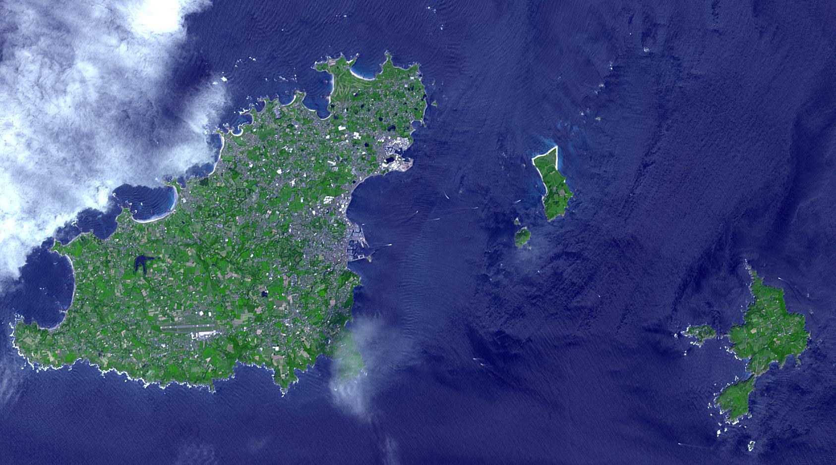
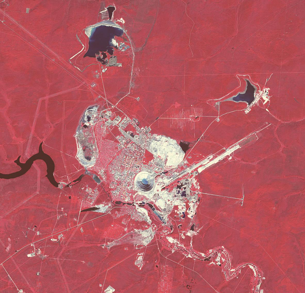
2024-06-27 | Earth |
Terra |
ASTER |
1129x1013x3 |
|
|||||
|
|
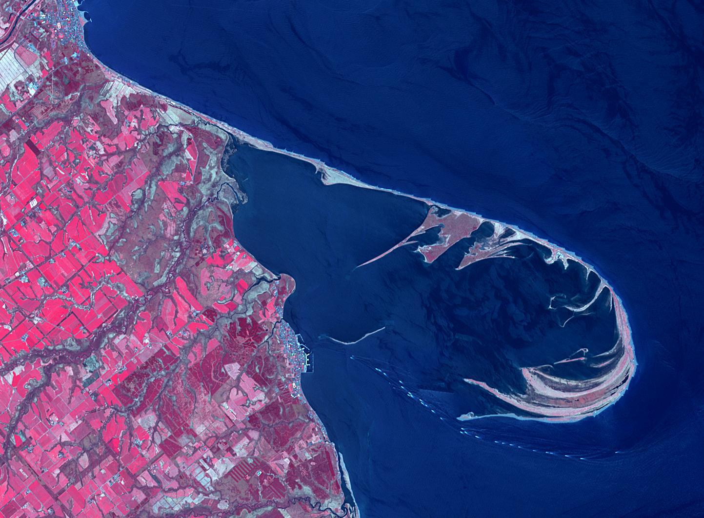
2024-06-21 | Earth |
Terra |
ASTER |
419x380x3 |

|
|||||
|
|
2024-05-30 | Earth |
Terra |
ASTER |
1219x978x3 |
|
|||||
|
|
2024-05-21 | Earth |
Polar Radiant Energy in the Far-InfraRed Experiment (PREFIRE) |
6720x4480x3 | |

|
|||||
|
|
2024-05-15 | Earth |
Polar Radiant Energy in the Far-InfraRed Experiment (PREFIRE) |
1583x891x3 | |
|
|||||
|
|
2024-05-07 | Earth |
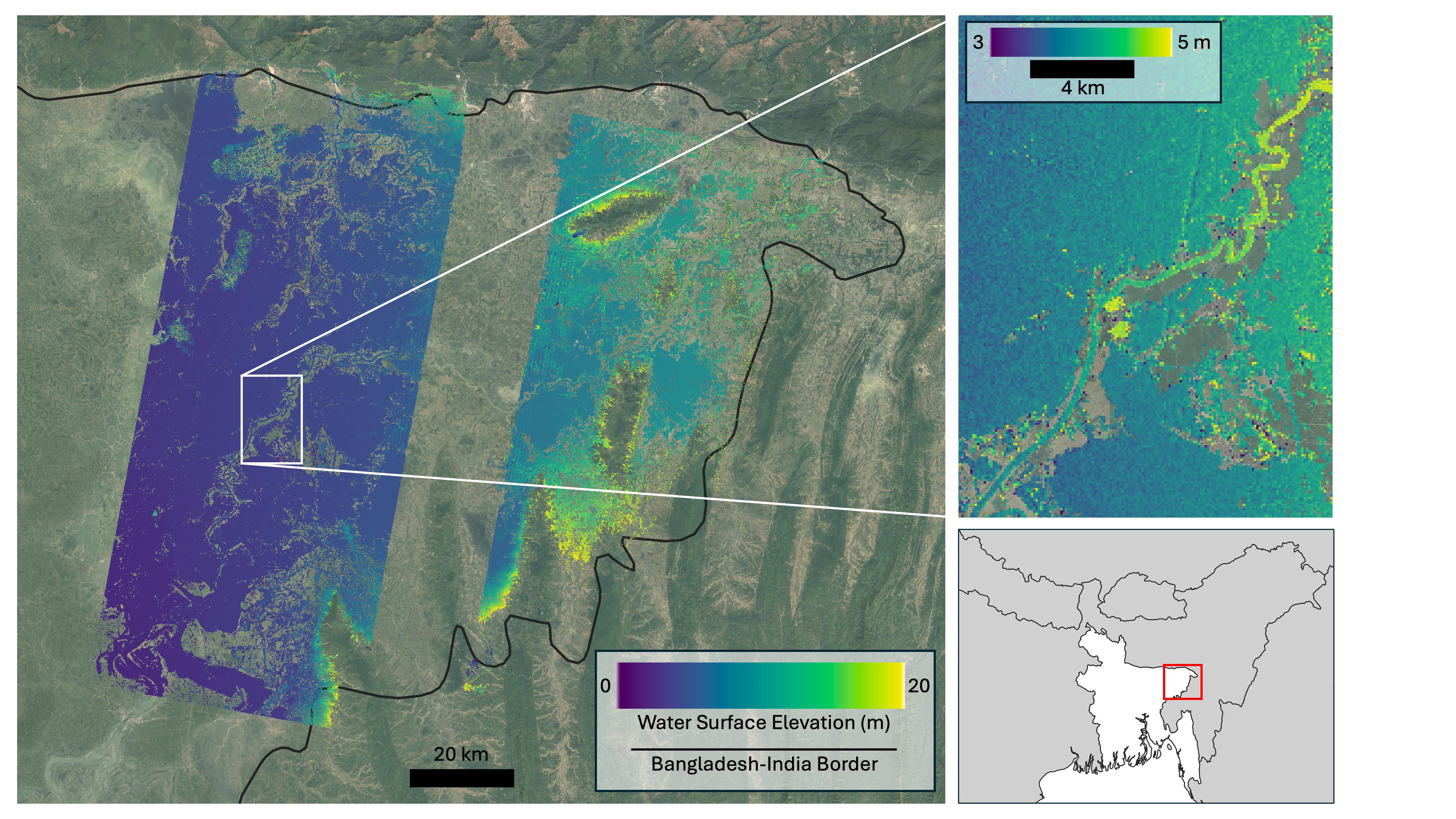
SWOT |
KaRIn |
4000x2250x3 |
|
|||||
|
|
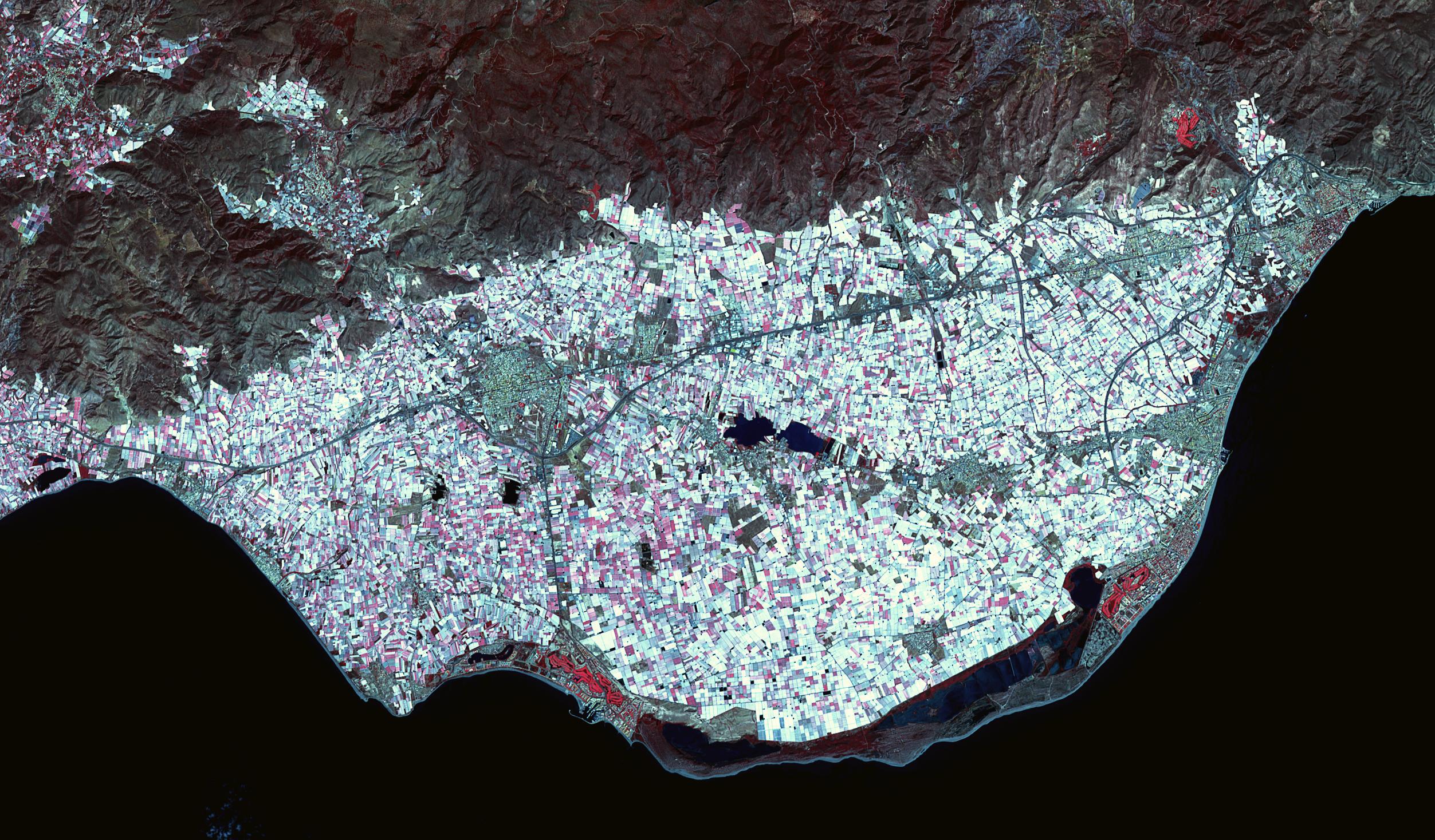
2024-04-30 | Earth |
Terra |
ASTER |
882x726x3 |
|
|||||
|
|
2024-04-26 | Earth |
Terra |
ASTER |
2441x1468x3 |

|
|||||
|
|
2024-04-26 | Earth | 1440x810x3 | ||
|
|||||
|
|
2024-04-15 | Earth |
SWOT |
KaRIn |
1440x1090x3 |
|
|||||
|
|
2024-03-29 | Earth |
Terra |
ASTER |
800x600x3 |
|
|||||
|
|
2024-03-26 | Earth |
Terra |
ASTER |
1639x1333x3 |

|
|||||
|
|
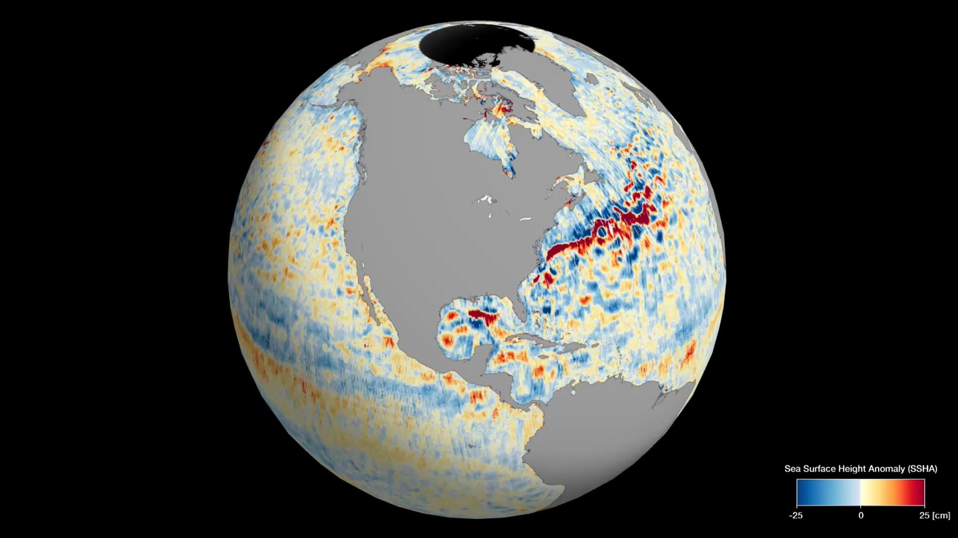
2024-03-21 | Earth |
TOPEX/Poseidon Sentinel-6 Michael Freilich |
3300x2550x3 | |
|
|||||
|
|
2024-03-21 | Earth |
Terra |
ASTER |
1578x1514x3 |

|
|||||
|
|
2024-03-05 | Earth |
SWOT |
KaRIn |
1440x1090x3 |
|
|||||
|
|
2024-02-27 | Earth |
Terra |
ASTER |
546x575x3 |
|
|||||
|
|
2024-02-15 | Earth |
Terra |
ASTER |
2016x1184x3 |
|
|||||
|
|
2024-01-29 | Earth |
Terra |
ASTER |
2700x3500x3 |

|
|||||
|
|
2024-01-17 | Earth |
Landsat |
1440x1100x3 | |
|
|||||
|
|
2024-01-17 | Earth |
Landsat |
1440x960x3 | |
|
|||||
|
|
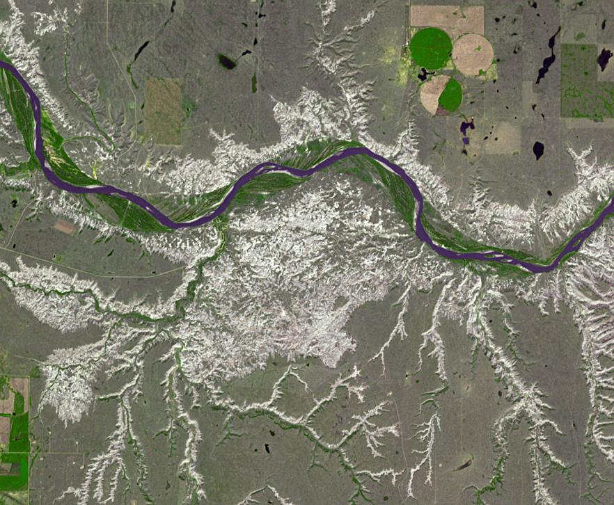
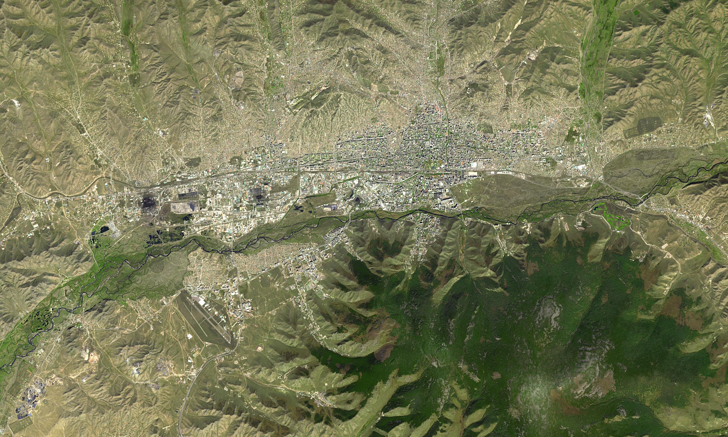
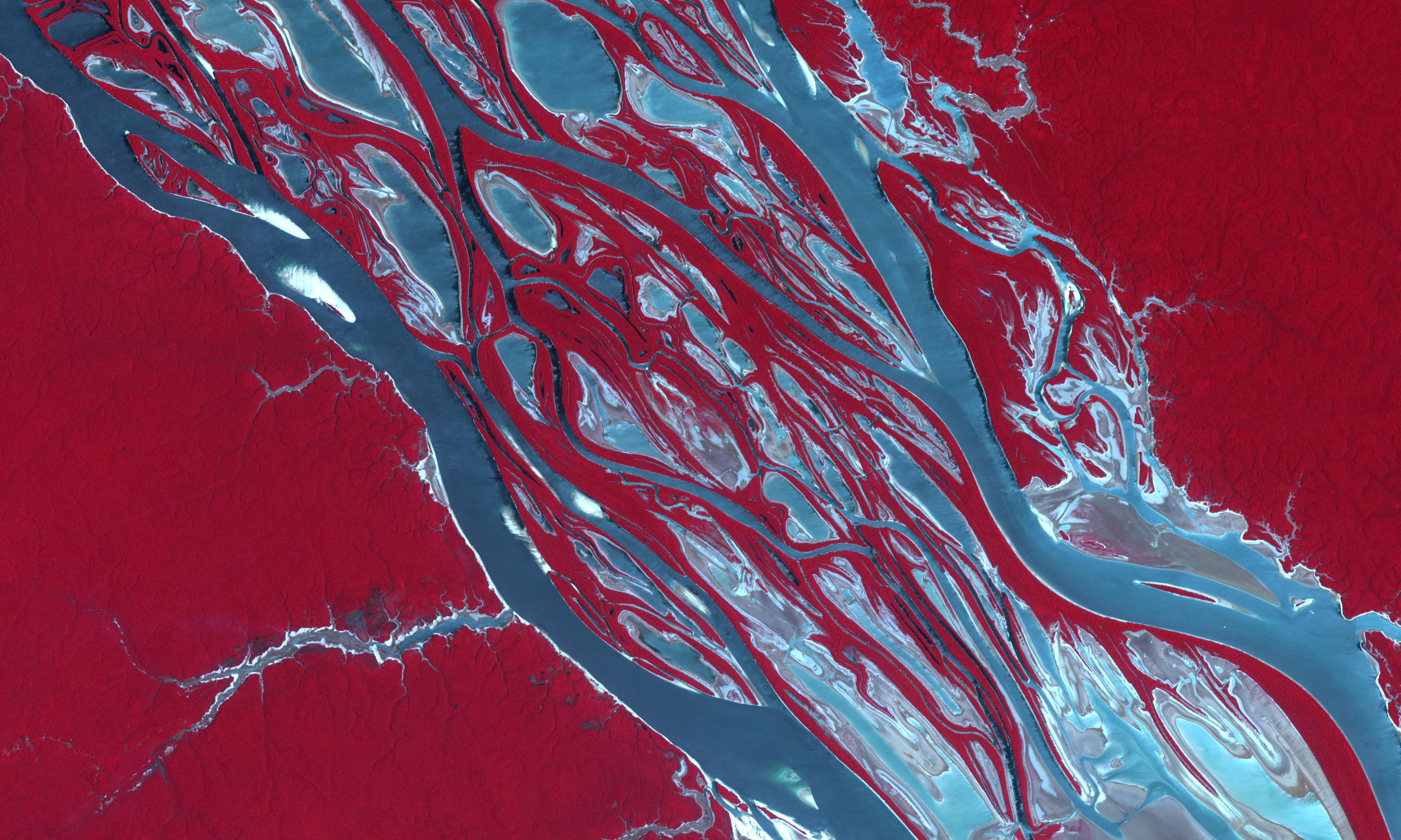
2024-01-11 | Earth |
Terra |
ASTER |
1348x1320x3 |

|
|||||
|
|
2023-12-14 | Earth |
Terra |
ASTER |
1600x1900x3 |

|
|||||
|
|
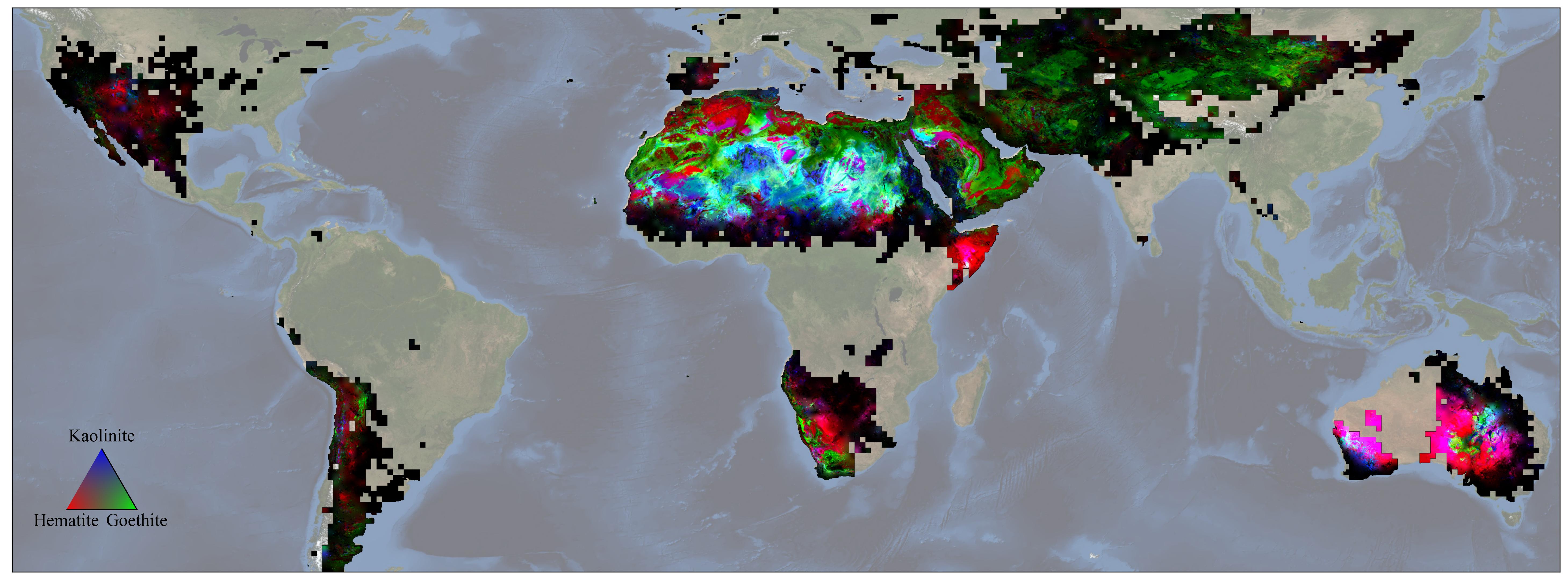
2023-12-11 | Earth |
Earth Surface Mineral Dust Source Investigation (EMIT) |
EMIT |
5836x2174x3 |
|
|||||
|
|
2023-11-17 | Earth |
Earth Surface Mineral Dust Source Investigation (EMIT) |
EMIT |
3499x1700x3 |
|
|||||
|
|
2023-11-08 | Earth |
SWOT |
KaRIn |
1264x1029x3 |
|
|||||
|
|
2023-11-03 | Earth |
Terra |
ASTER |
3000x1800x3 |
|
|||||
|
|
2023-10-30 | Earth |
SWOT |
KaRIn |
1920x1080x3 |

|
|||||
|
|
2023-10-27 | Earth |
NISAR |
1800x1275x3 | |
|
|||||
|
|
2023-10-27 | Earth |
NISAR |
973x913x3 | |
|
|||||
|
|
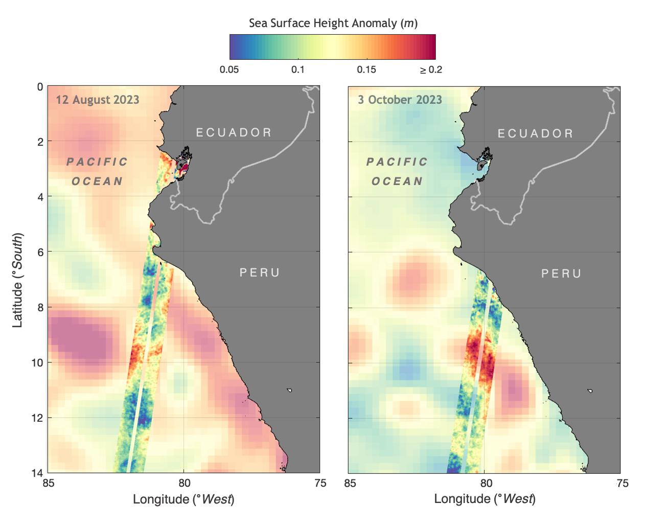
2023-10-18 | Earth |
Sentinel-6/Jason-CS |
1586x783x3 | |
|
|||||
|
|
2023-10-18 | Earth |
Terra |
ASTER |
1528x1825x3 |
|
|||||
|
|
2023-09-27 | Earth |
InSAR |
1584x934x3 | |
|
|||||
|
|
2023-09-27 | Earth |
InSAR |
2036x1446x3 | |
|
|||||
|
|
2023-09-19 | Earth |
SWOT |
KaRIn |
1570x1870x3 |
|
|||||
|
|
2023-09-11 | Earth |
Terra |
ASTER |
3257x2677x3 |
|
|||||
|
|
2023-08-30 | Earth |
Surface Water and Ocean Topography (SWOT) |
KaRIn |
2794x1934x3 |
|
|||||
|
|
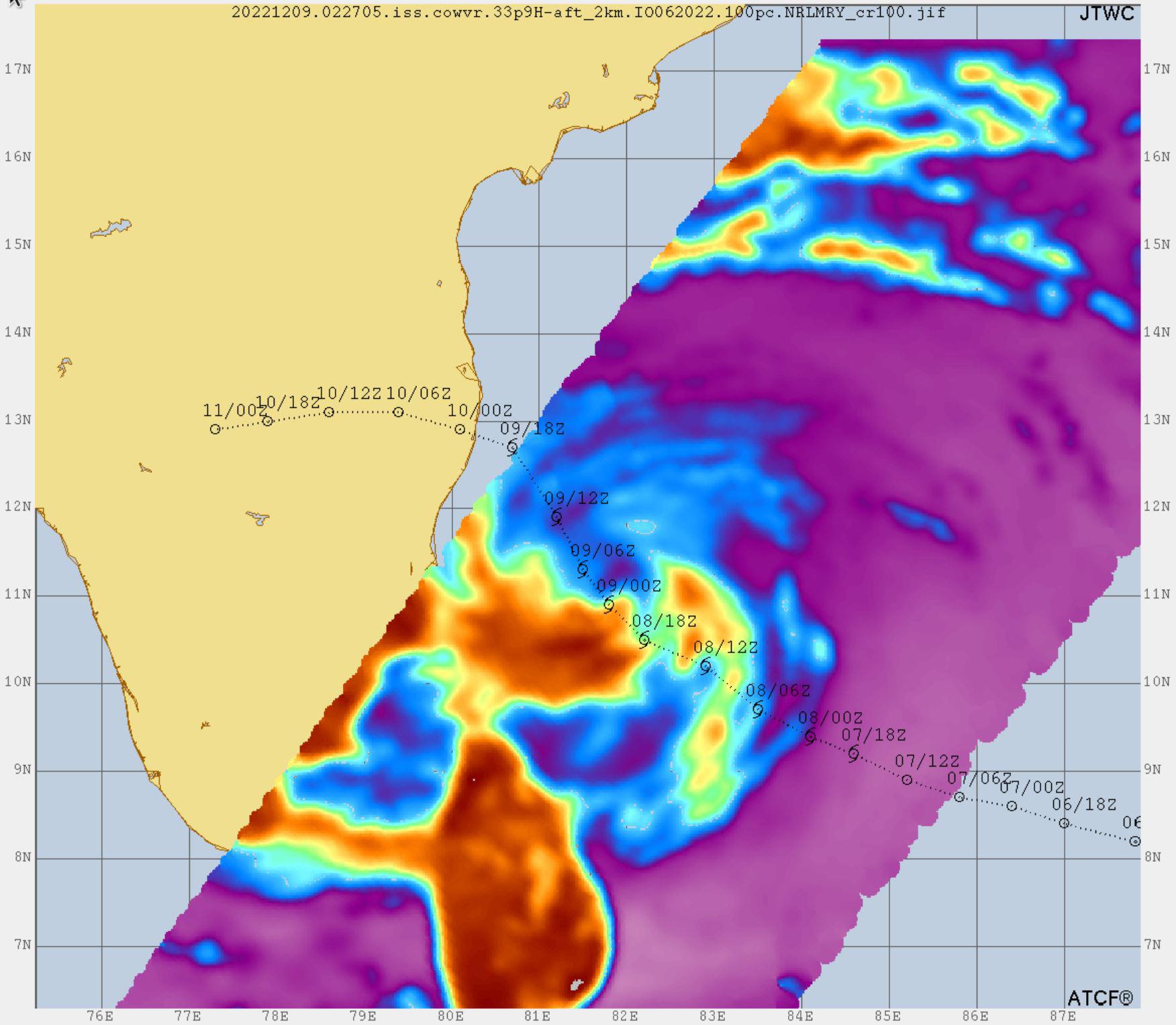
2023-08-29 | Earth |
COWVR |
COWVR TEMPEST |
1606x1527x3 |

|
|||||
|
|
2023-08-29 | Earth |
COWVR |
COWVR TEMPEST |
1576x1527x3 |
|
|||||
|
|
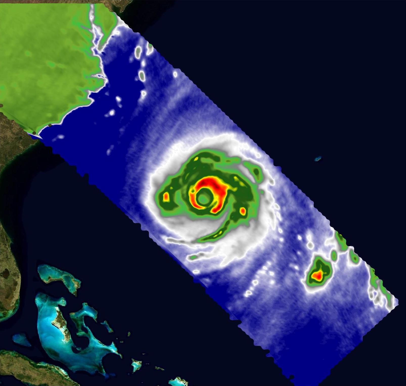
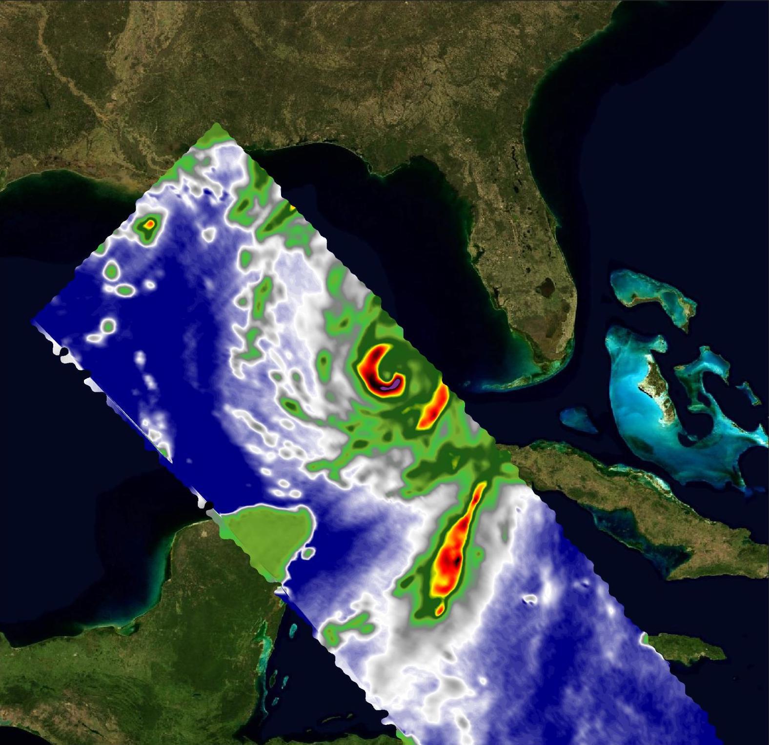
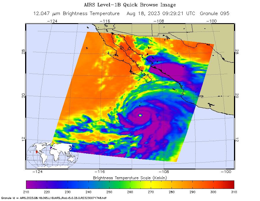
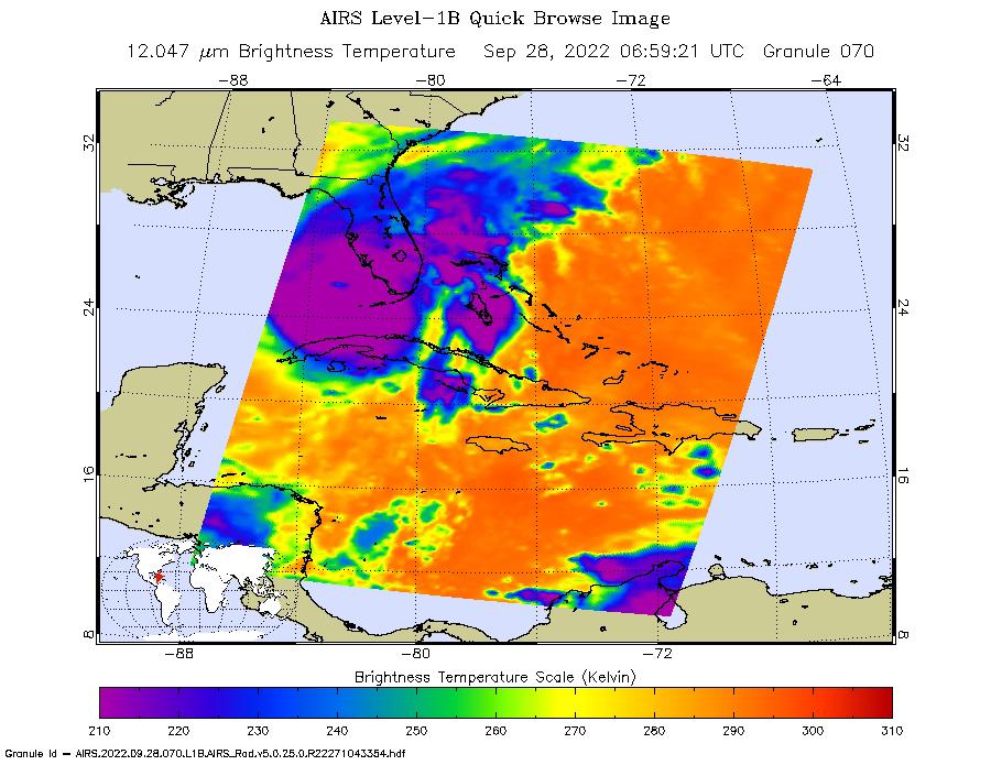
2023-08-18 | Earth |
Aqua |
AIRS |
900x695x3 |
|
|||||
|
|
2023-08-17 | Earth |
Terra |
ASTER |
2557x4344x3 |

|
|||||
|
|
2023-08-14 | Earth |
Polar Radiant Energy in the Far-InfraRed Experiment (PREFIRE) |
1920x1080x3 | |
|
|||||
|
|
2023-08-08 | Earth |
Terra |
ASTER |
318x313x3 |
|
|||||
|
|
2023-08-08 | Earth |
Suomi NPP |
VIIRS |
1200x675x3 |

|
|||||
|
|
2023-07-18 | Earth |
Terra |
ASTER |
4000x3303x3 |
|
|||||
|
|
2023-06-27 | Earth |
Surface Water and Ocean Topography (SWOT) |
1125x1122x3 | |
|
|||||
|
|
2023-06-22 | Earth |
Terra |
2741x2514x3 | |
|
|||||
|
|
2023-06-01 | Earth |
Terra |
ASTER |
1400x1176x3 |

|
|||||
|
|
2023-05-25 | Earth |
Terra |
ASTER |
1413x1143x3 |
|
|||||
|
|
2023-05-15 | Earth | 1440x700x3 | ||

|
|||||
|
|
2023-05-15 | Earth | 1440x700x3 | ||
|
|||||
|
|
2023-05-12 | Earth |
Sentinel-6/Jason-CS |
875x415x3 | |
|
|||||
|
|
2023-04-27 | Earth |
Terra |
ASTER |
1686x939x3 |

|
|||||
|
|
2023-04-12 | Earth |
Terra |
ASTER |
1443x1062x3 |
|
|||||
|
|
2023-04-05 | Earth |
MODIS |
MODIS |
2550x3300x3 |
|
|||||
|
|
2023-04-05 | Earth |
MODIS |
MODIS |
4579x2083x3 |
|
|||||
|
|
2023-03-24 | Earth |
Surface Water and Ocean Topography (SWOT) |
KaRIn |
787x879x3 |
|
|||||
|
|
2023-03-24 | Earth | 1440x1570x3 | ||
|
|||||
|
|
2023-03-24 | Earth |
Surface Water and Ocean Topography (SWOT) |
KaRIn |
1440x1570x3 |
|
|||||
|
|
2023-03-23 | Earth |
Terra |
ASTER |
1182x1136x3 |

|
|||||
|
|
2023-03-17 | Earth | 3300x2550x3 | ||
|
|||||
|
|
2023-03-16 | Earth |
Terra |
ASTER |
700x450x3 |
|
|||||
|
|
2023-02-27 | Earth |
Terra |
ASTER |
2505x1468x3 |
|
|||||
|
|
2023-02-23 | Earth |
COWVR |
COWVR TEMPEST |
1752x1526x3 |

|
|||||
|
|
2023-02-16 | Earth |
Terra |
ASTER |
1506x2042x3 |
|
|||||
|
|
2023-02-09 | Earth |
ARIA |
SAR |
720x480x3 |

|
|||||
|
|
2023-01-24 | Earth |
Terra |
ASTER |
384x458x3 |
|
|||||
|
|
2023-01-10 | Earth |
Aqua |
AIRS |
1195x611x3 |
|
|||||
|
|
2023-01-10 | Earth |
Terra |
ASTER |
1657x1335x3 |
|
|||||
|
|
2022-12-22 | Earth |
Terra |
ASTER |
610x686x3 |

|
|||||
|
|
2022-12-19 | Earth |
UAVSAR |
3750x3750x3 | |

|
|||||
|
|
2022-12-09 | Earth |
ARIA |
SAR |
3203x2451x3 |
|
|||||
|
|
2022-12-06 | Earth |
Terra |
ASTER |
2985x2730x3 |
|
|||||
|
|
2022-12-05 | Earth |
Aqua |
AIRS |
2702x3011x3 |
|
|||||
|
|
2022-11-14 | Earth |
Surface Water and Ocean Topography (SWOT) |
1920x1080x3 | |
|
|||||
|
|
2022-10-25 | Earth |
Earth Surface Mineral Dust Source Investigation (EMIT) |
EMIT |
1925x834x3 |
|
|||||
|
|
2022-10-25 | Earth |
Earth Surface Mineral Dust Source Investigation (EMIT) |
EMIT |
1557x834x3 |
|
|||||
|
|
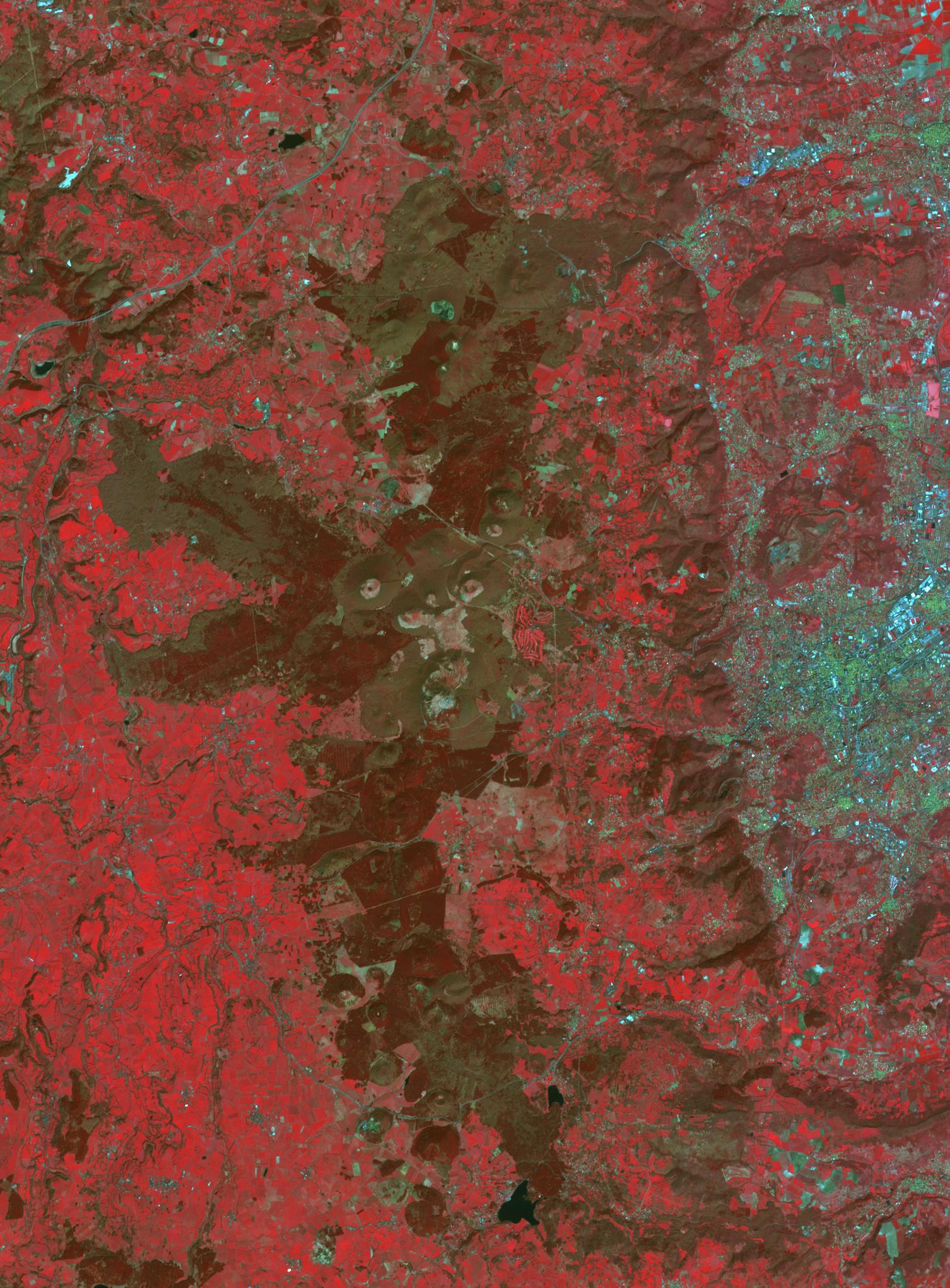
2022-10-19 | Earth |
Terra |
ASTER |
898x768x3 |
|
|||||
|
|
2022-10-12 | Earth |
Earth Surface Mineral Dust Source Investigation (EMIT) |
EMIT |
2457x2370x3 |
|
|||||
|
|
2022-10-12 | Earth |
Earth Surface Mineral Dust Source Investigation (EMIT) |
EMIT |
1489x1039x3 |

|
|||||
|
|
2022-10-12 | Earth |
Earth Surface Mineral Dust Source Investigation (EMIT) |
EMIT |
1435x891x3 |

|
|||||
|
|
2022-10-12 | Earth |
Earth Surface Mineral Dust Source Investigation (EMIT) |
EMIT |
774x750x3 |
|
|||||
|
|
2022-10-12 | Earth |
Earth Surface Mineral Dust Source Investigation (EMIT) |
EMIT |
2249x2289x3 |

|
|||||
|
|
2022-10-11 | Earth |
S-MODE |
4032x3024x3 | |
|
|||||
|
|
2022-10-11 | Earth |
S-MODE |
2817x1582x3 | |
|
|||||
|
|
2022-10-11 | Earth |
S-MODE |
2844x1599x3 | |

|
|||||
|
|
2022-10-06 | Earth |
ARIA |
SAR |
4042x2475x3 |
|
|||||
|
|
2022-09-30 | Earth |
Terra |
MISR |
5504x6001x3 |
|
|||||
|
|
2022-09-28 | Earth |
COWVR |
COWVR TEMPEST |
1564x1527x3 |
|
|||||
|
|
2022-09-28 | Earth |
Aqua |
AIRS |
900x695x3 |
|
|||||
|
|
2022-09-08 | Earth |
Aqua |
AIRS |
900x695x3 |
|
|||||
|
|
2022-08-23 | Earth |
Terra |
ASTER |
2064x971x3 |

|
|||||
|
|
2022-08-23 | Earth |
Terra |
ASTER |
1986x3125x3 |
|
|||||
|
|
2022-08-10 | Earth | 4456x5324x3 | ||
|
|||||
|
|
2022-08-04 | Earth |
ECOSTRESS |
3507x2480x3 | |
|
|||||
|
|
2022-08-04 | Earth |
ECOSTRESS |
3507x2480x3 | |
|
|||||
|
|
2022-08-04 | Earth |
ECOSTRESS |
3507x2480x3 | |

|
|||||
|
|
2022-08-04 | Earth |
ECOSTRESS |
3507x2480x3 | |
|
|||||
 |
 |
|
|
|
|
|
|
|
|

|
|
| 1-100 | 101-200 | 201-300 | 301-400 | 401-500 | 501-600 | 601-700 | 701-800 | 801-900 | 901-1000 |
| Currently displaying images: 1 - 100 of 2289 |