|
Your search criteria found 2282 images Target is Earth |
| My List |
Addition Date | Target | Mission |
Instrument
|
Size |

|
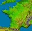
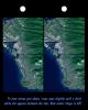
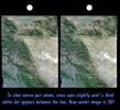
2002-09-26 | Earth |
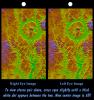
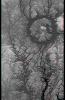
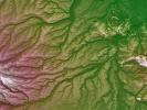
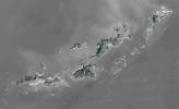
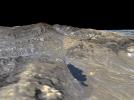
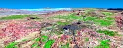
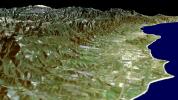
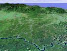
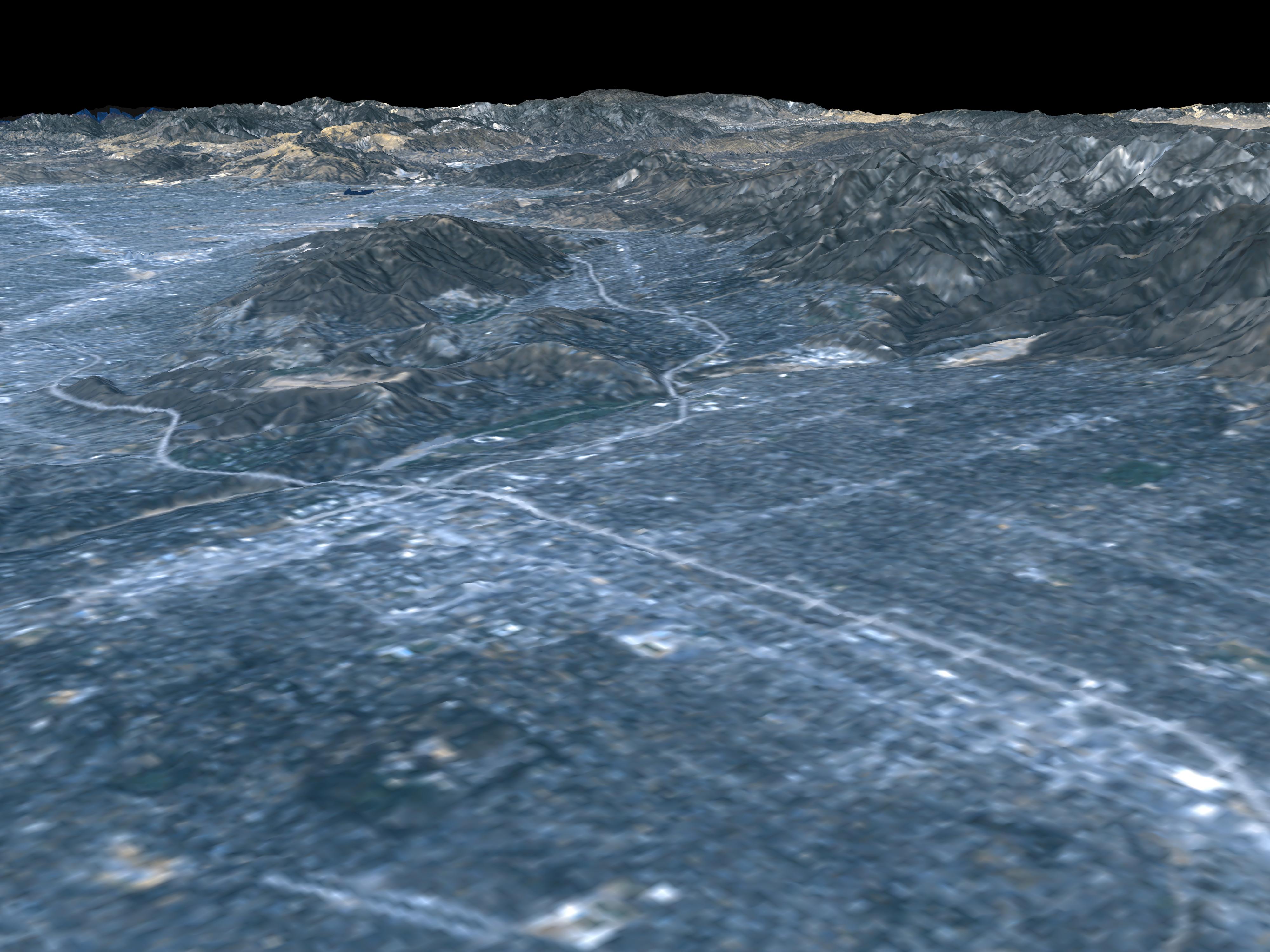
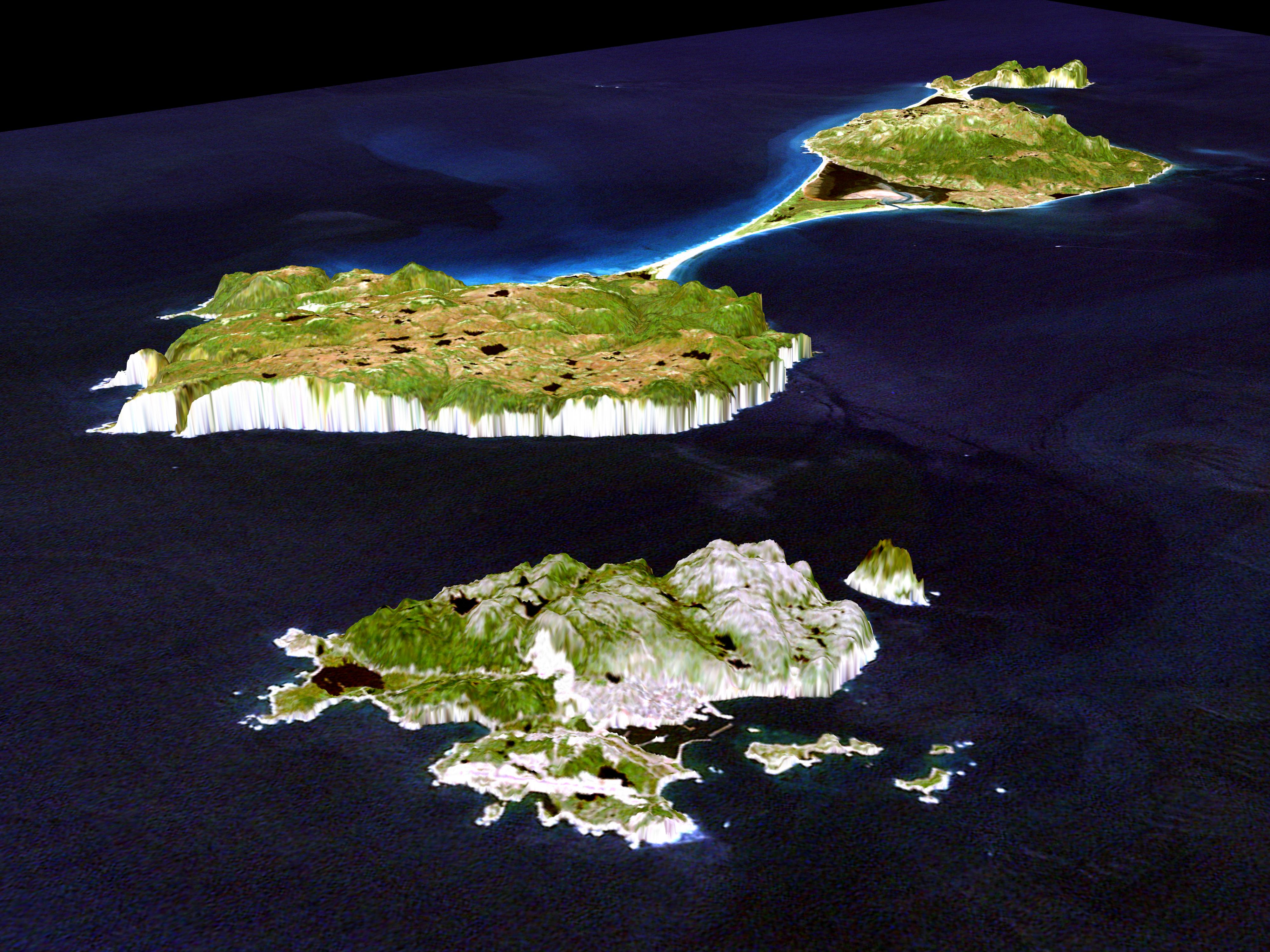
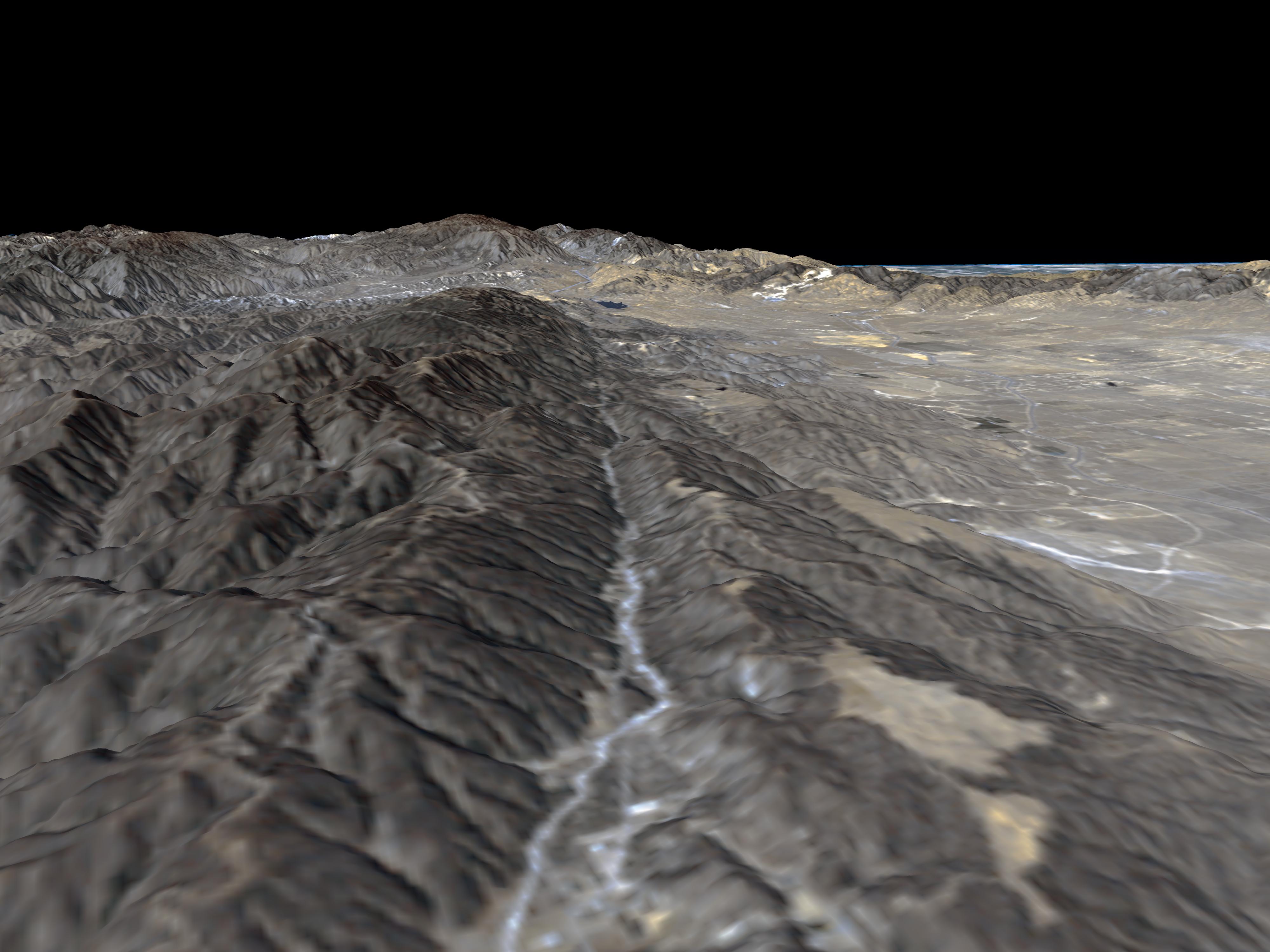
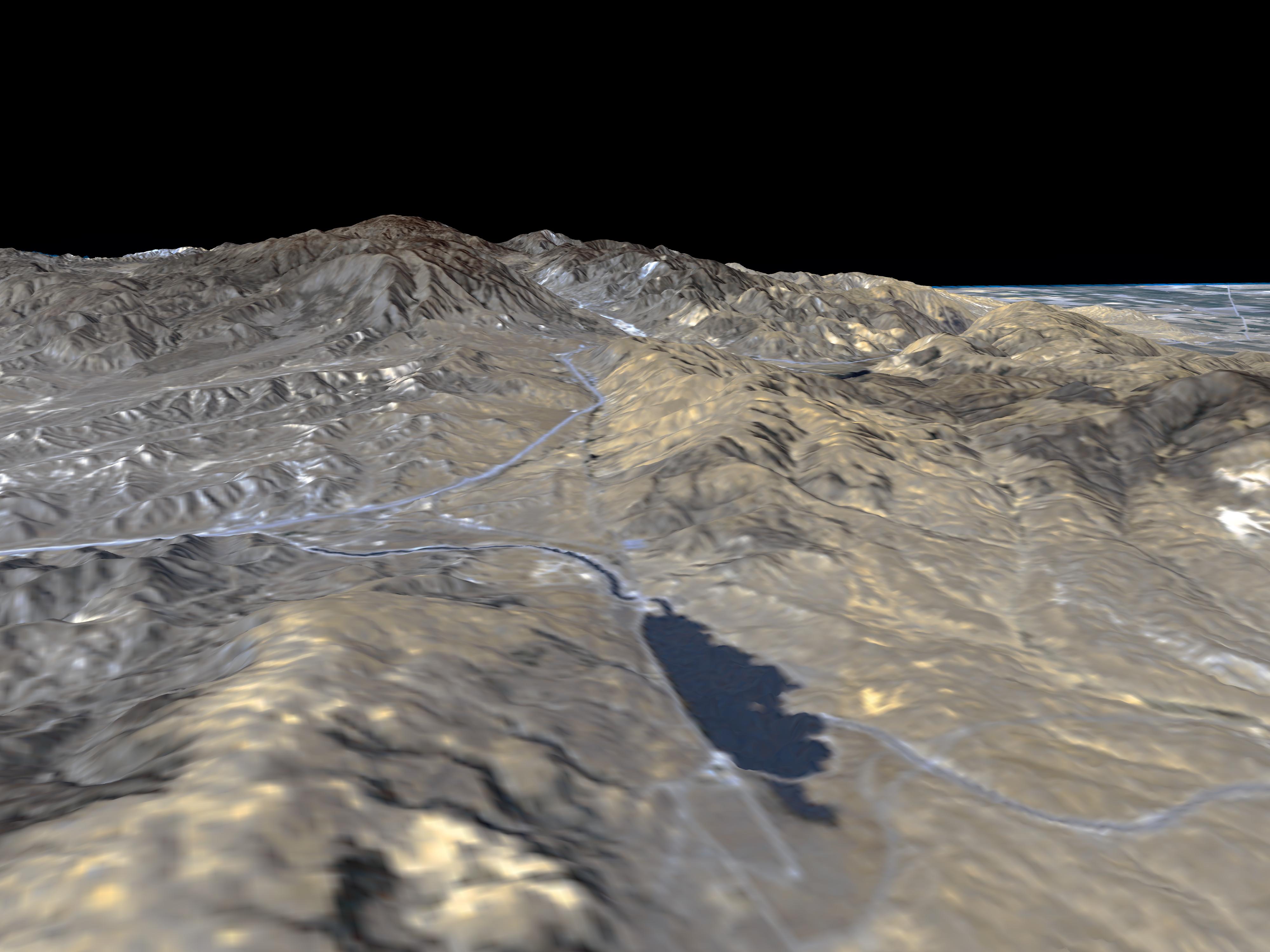
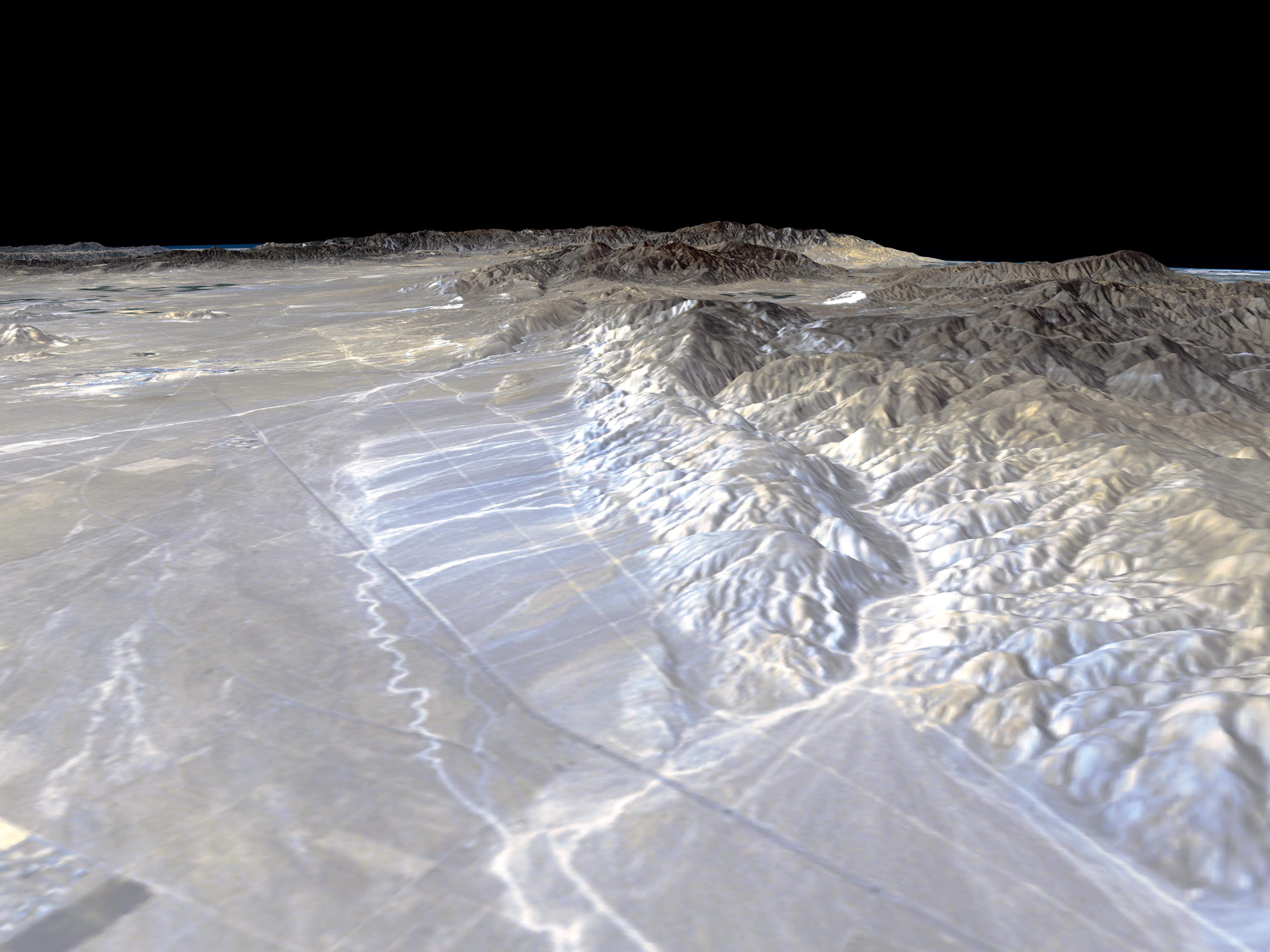
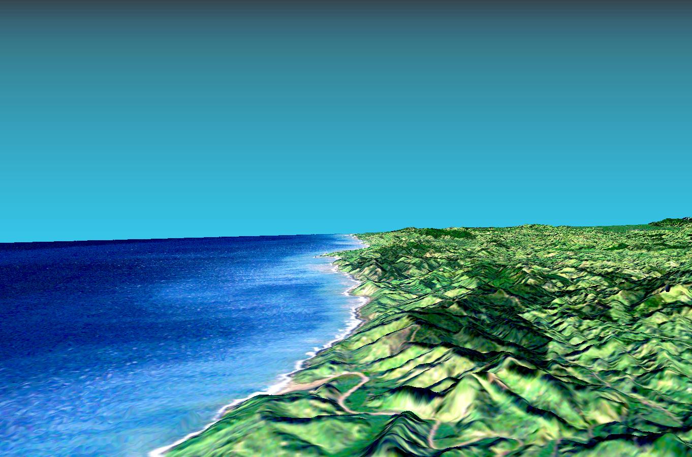
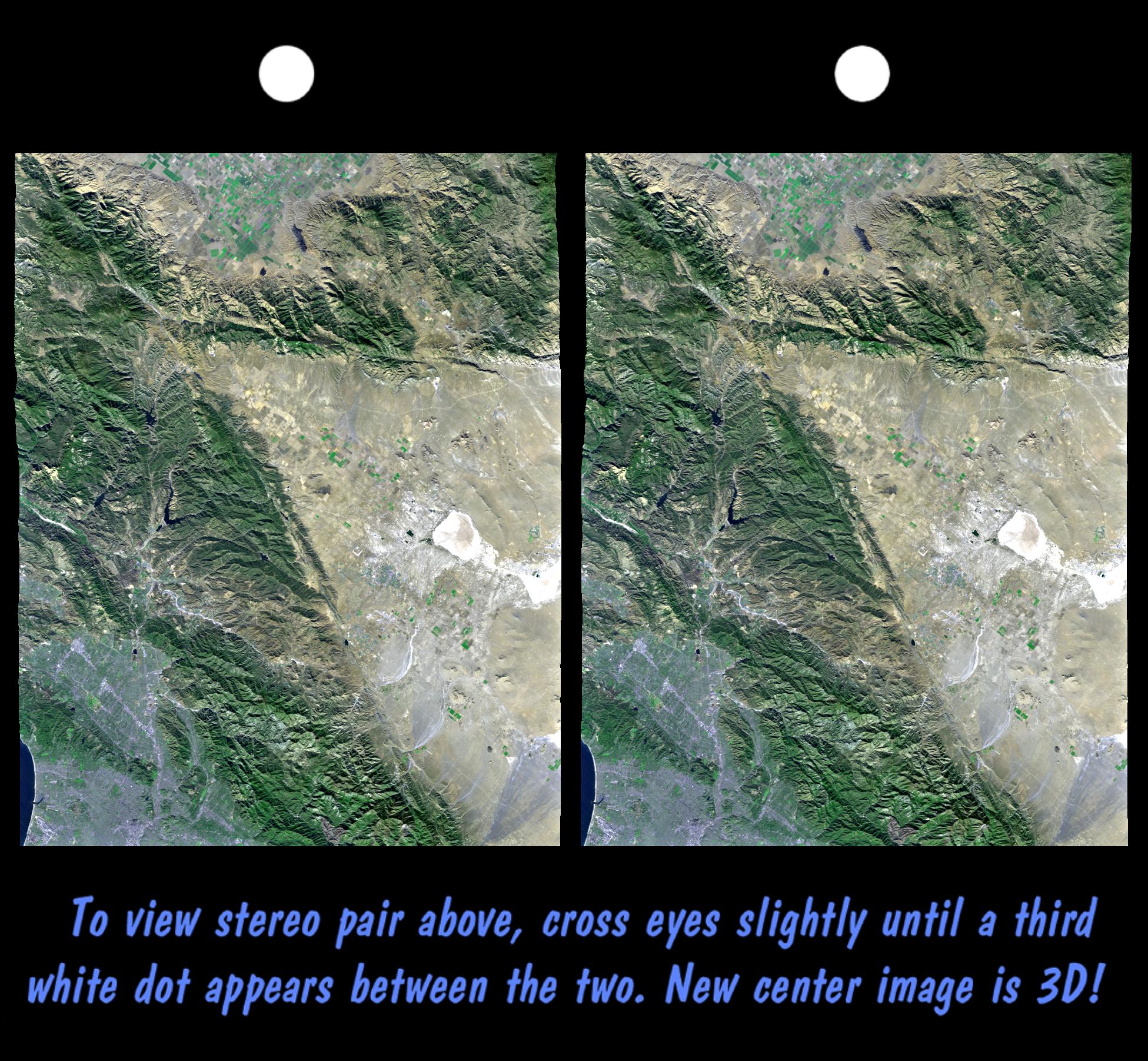
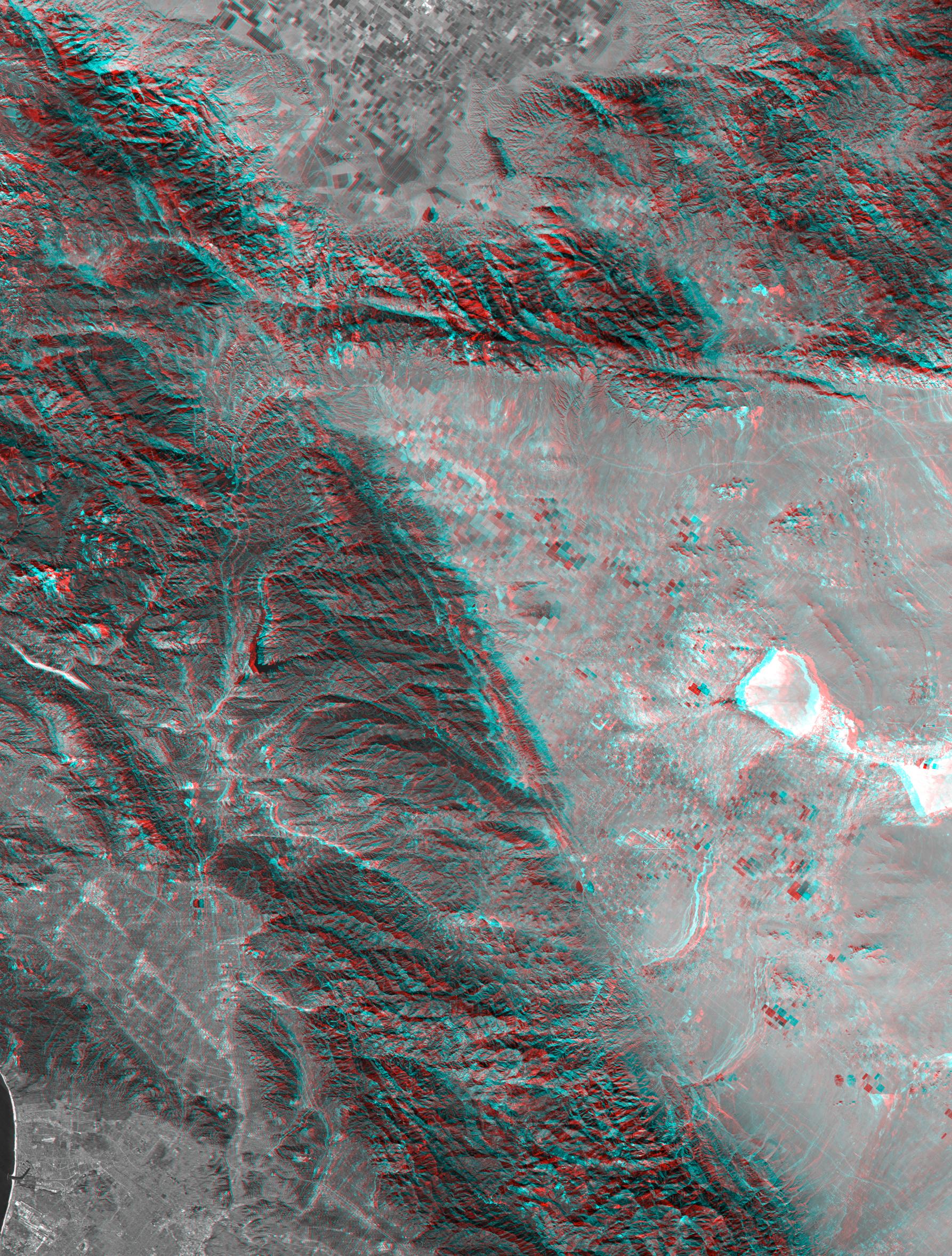
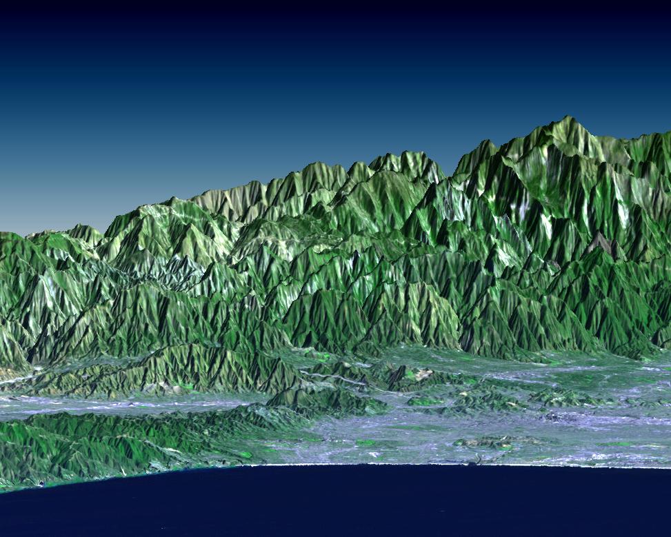
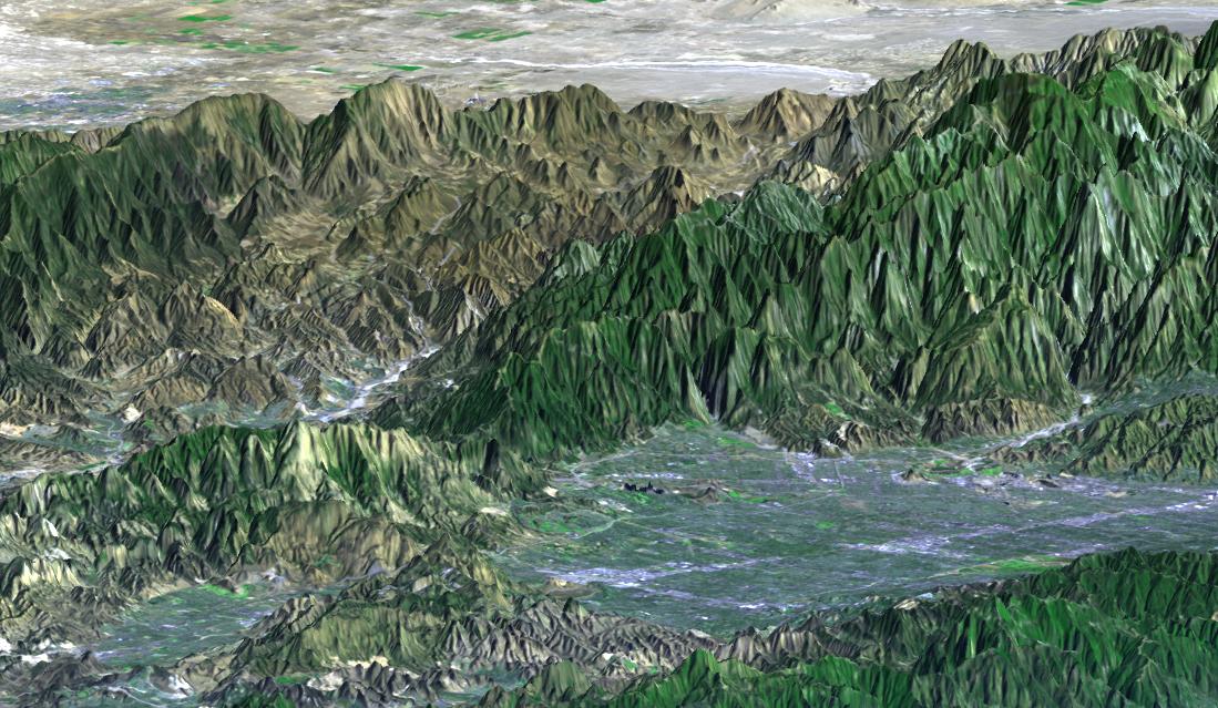
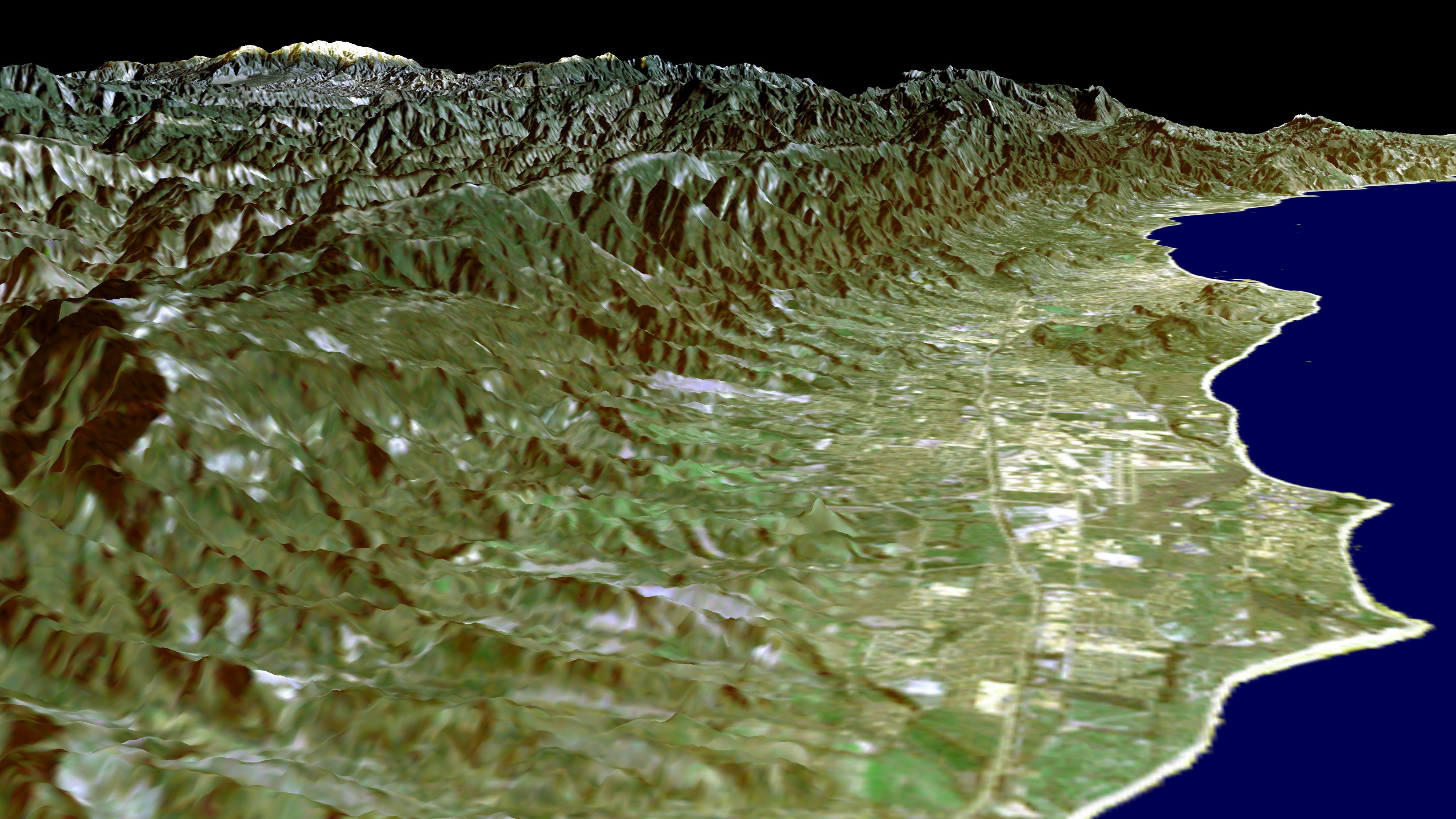
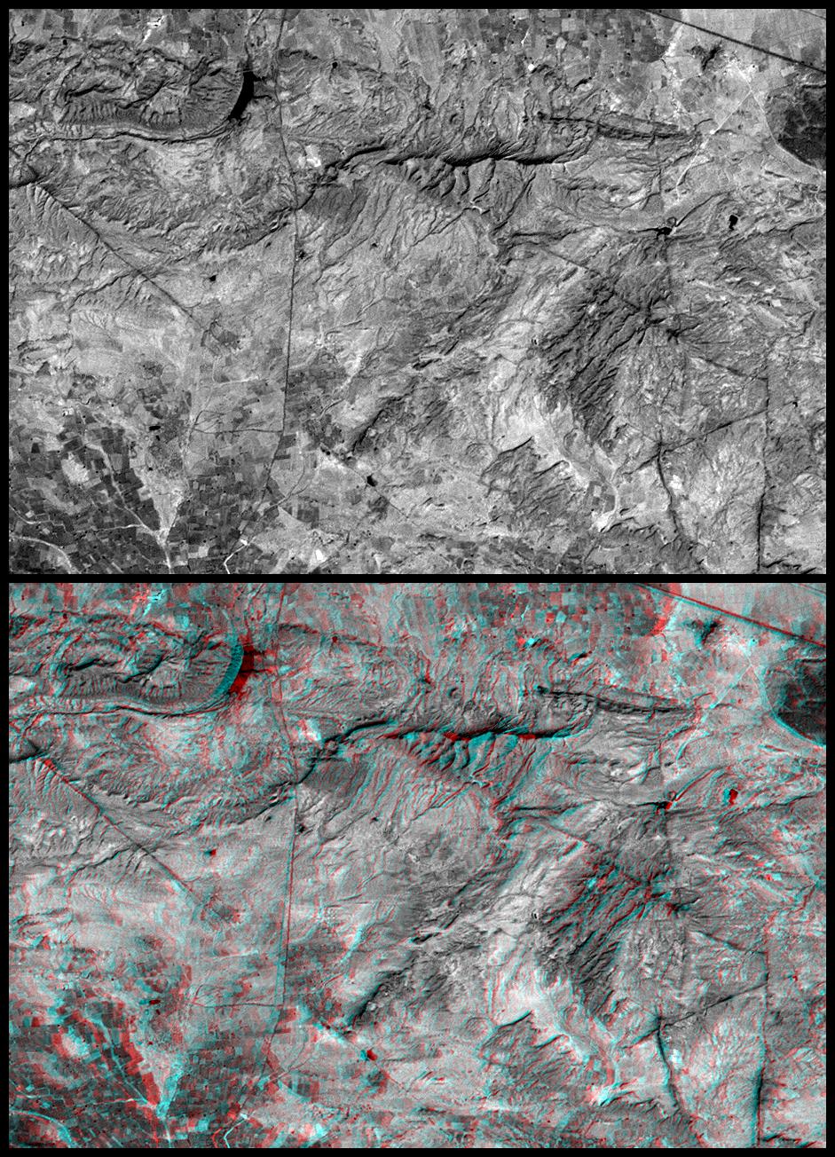
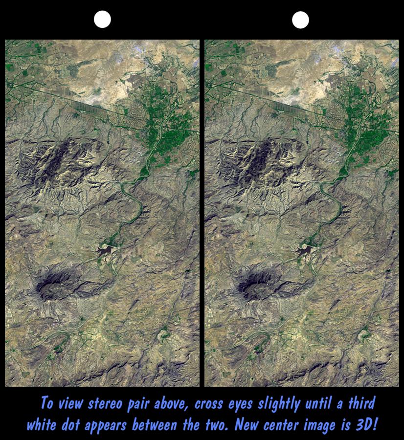
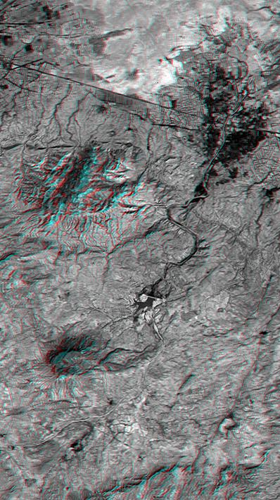
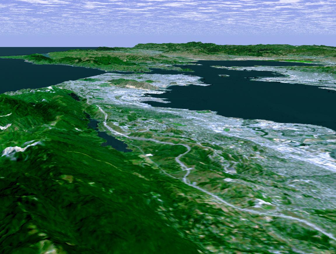
Shuttle Radar Topography Mission (SRTM) |
C-Band Interferometric Radar |
1016x865x3 |
|
|||||
|
|
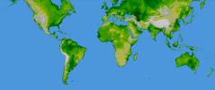
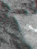
2002-11-14 | Earth |
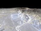
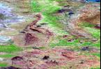
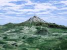
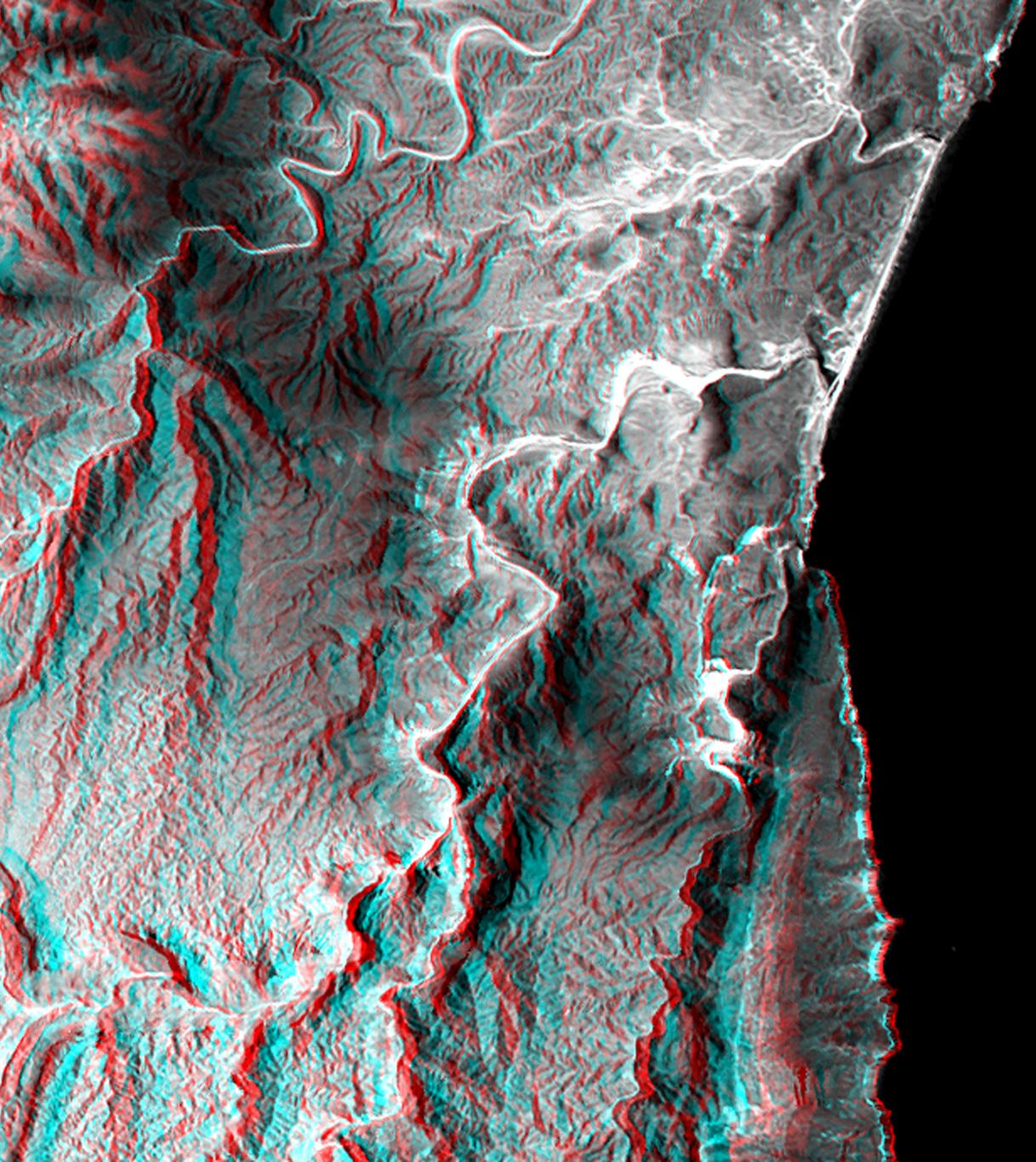
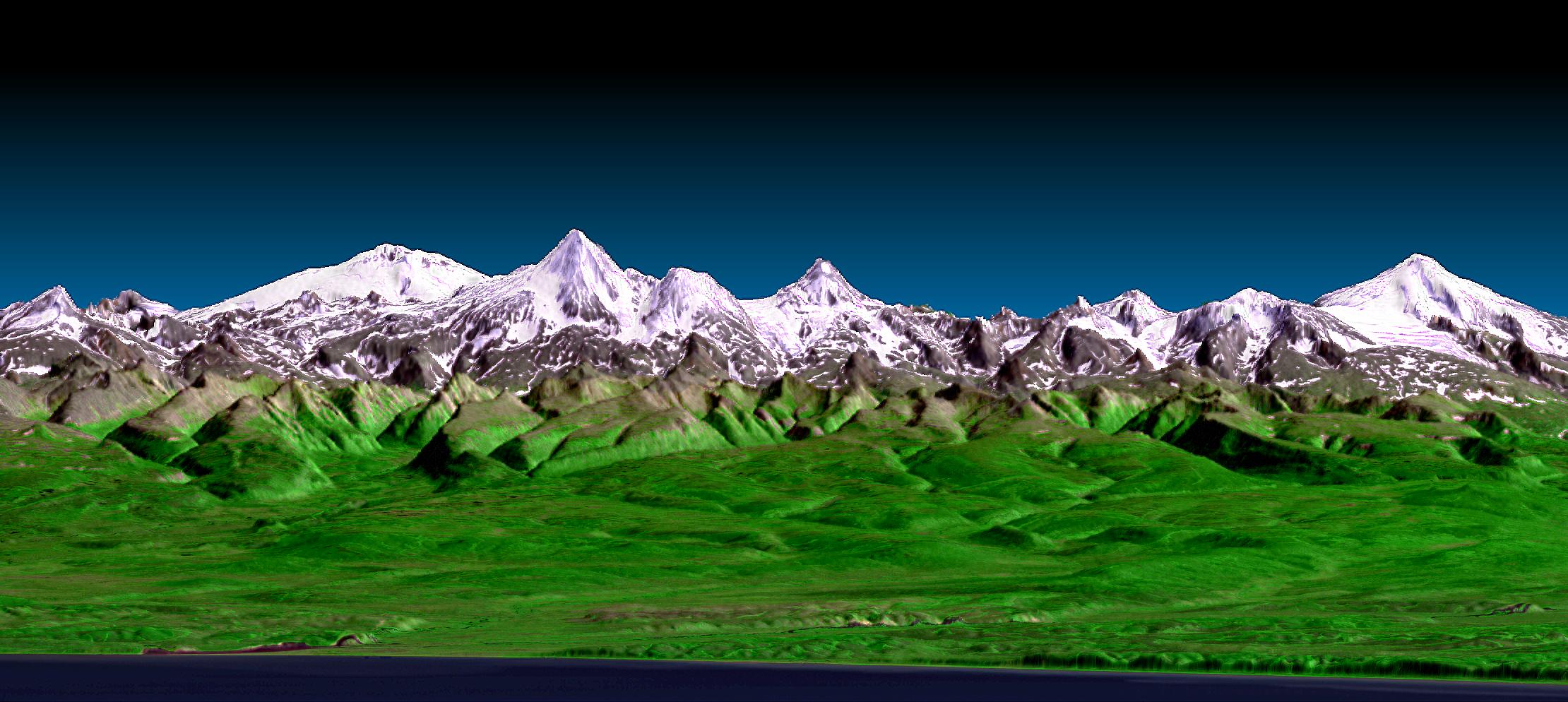
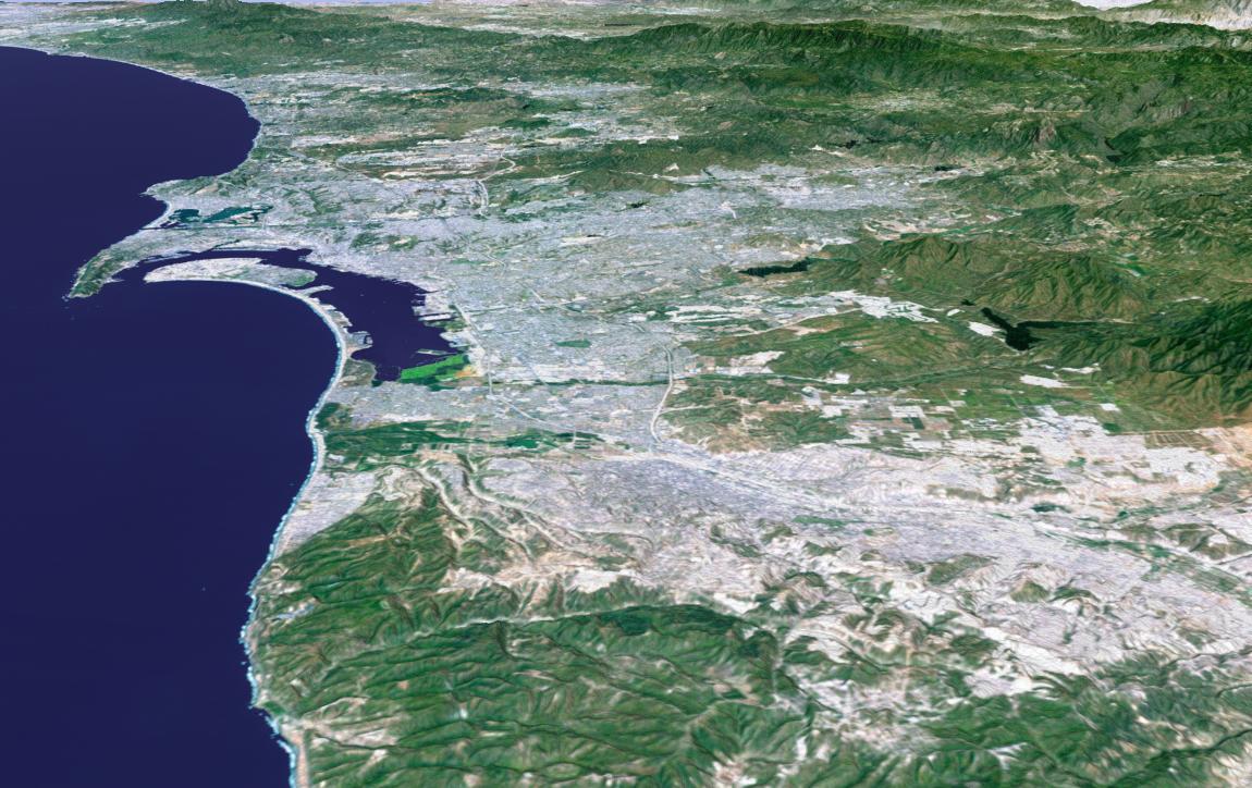
Shuttle Radar Topography Mission (SRTM) |
C-Band Interferometric Radar |
9000x15666x3 |

|
|||||
|
|
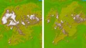
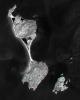
2002-12-12 | Earth |
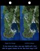
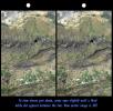
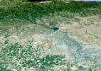
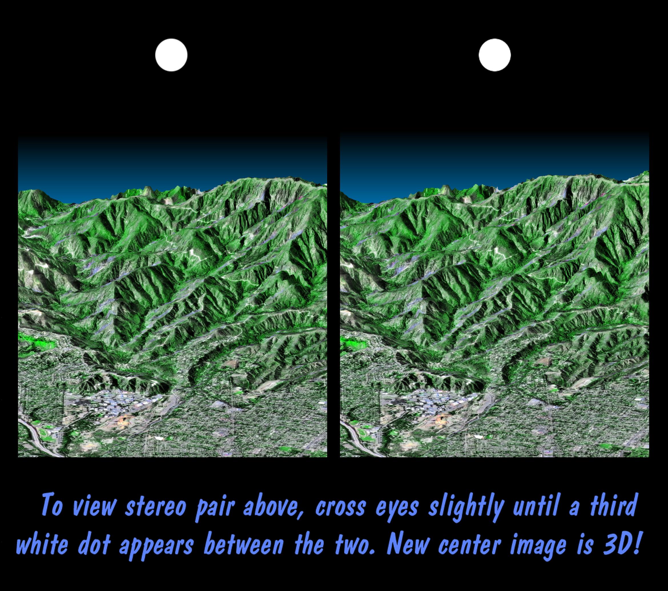
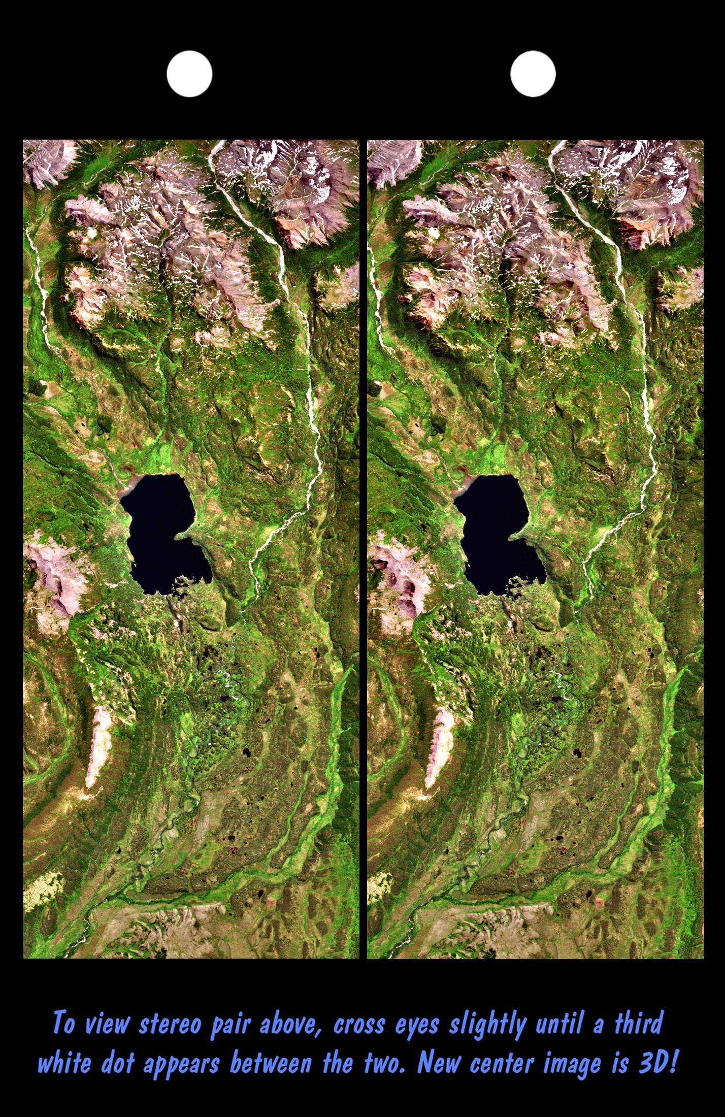
Shuttle Radar Topography Mission (SRTM) |
C-Band Interferometric Radar |
2500x2000x3 |

|
|||||
|
|
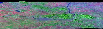
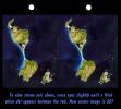
2003-03-06 | Earth |
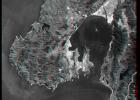
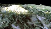
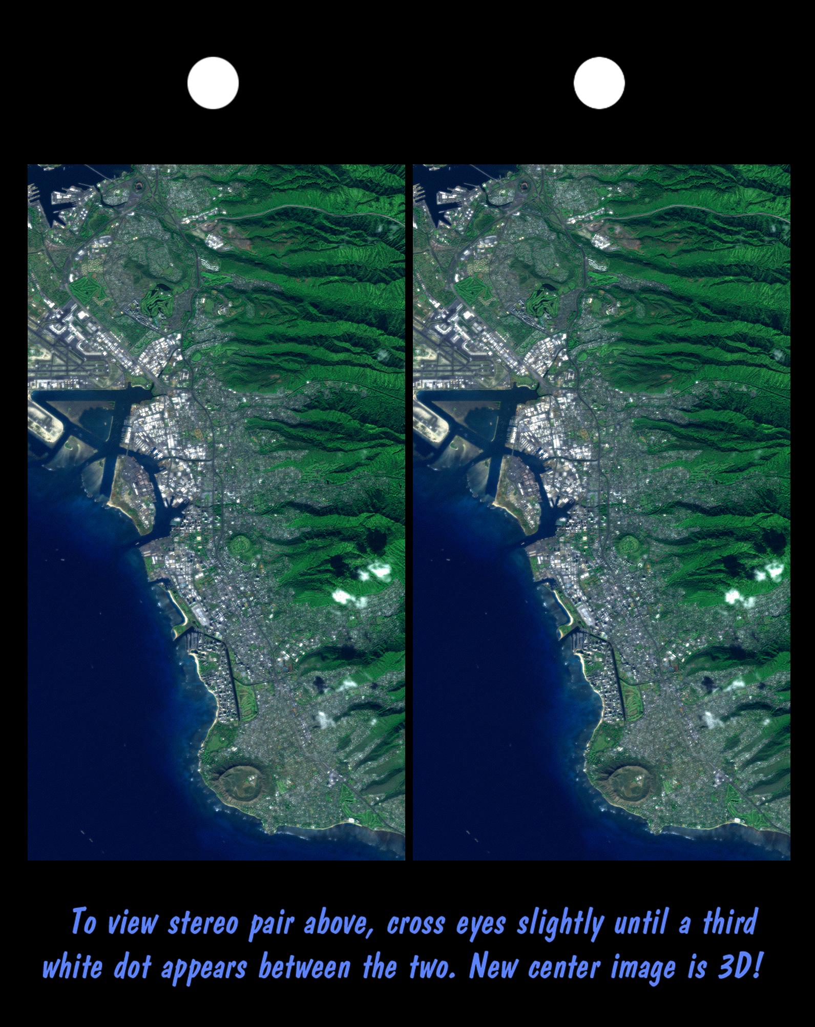
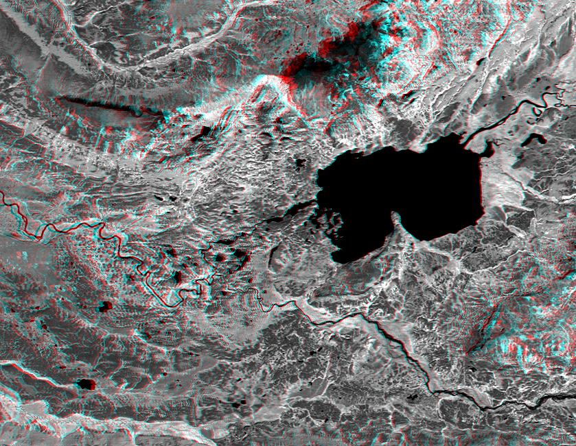
Shuttle Radar Topography Mission (SRTM) |
C-Band Interferometric Radar |
9600x7240x3 |

|
|||||
|
|
2003-03-06 | Earth |
Shuttle Radar Topography Mission (SRTM) |
C-Band Interferometric Radar |
9600x7240x3 |

|
|||||
|
|
2003-03-06 | Earth |
Shuttle Radar Topography Mission (SRTM) |
C-Band Interferometric Radar |
18001x11438x3 |

|
|||||
|
|
2003-03-06 | Earth |
Shuttle Radar Topography Mission (SRTM) |
C-Band Interferometric Radar |
1600x1080x3 |
|
|||||
|
|
2003-03-06 | Earth |
Shuttle Radar Topography Mission (SRTM) |
C-Band Interferometric Radar |
3010x3416x3 |

|
|||||
|
|
2003-03-13 | Earth |
Shuttle Radar Topography Mission (SRTM) |
C-Band Interferometric Radar |
1587x1536x3 |
|
|||||
|
|
2003-03-13 | Earth |
Shuttle Radar Topography Mission (SRTM) |
C-Band Interferometric Radar |
628x801x3 |
|
|||||
|
|
2003-03-27 | Earth |
Shuttle Radar Topography Mission (SRTM) |
C-Band Interferometric Radar |
3200x3400x3 |
|
|||||
|
|
2003-03-27 | Earth |
Shuttle Radar Topography Mission (SRTM) |
C-Band Interferometric Radar |
1573x2401x3 |
|
|||||
|
|
2003-06-19 | Earth |
Shuttle Radar Topography Mission (SRTM) |
C-Band Interferometric Radar |
7200x10886x3 |

|
|||||
|
|
2003-06-19 | Earth |
Shuttle Radar Topography Mission (SRTM) |
C-Band Interferometric Radar |
7200x10886x3 |

|
|||||
|
|
2003-06-19 | Earth |
Shuttle Radar Topography Mission (SRTM) |
C-Band Interferometric Radar |
960x725x3 |
|
|||||
|
|
2003-07-03 | Earth |
Landsat Shuttle Radar Topography Mission (SRTM) |
C-Band Interferometric Radar |
1025x577x3 |

|
|||||
|
|
2003-07-03 | Earth |
Landsat Shuttle Radar Topography Mission (SRTM) |
C-Band Interferometric Radar |
2805x1705x3 |
|
|||||
|
|
2003-07-25 | Earth |
Shuttle Radar Topography Mission (SRTM) |
C-Band Interferometric Radar |
8688x8296x3 |
|
|||||
|
|
2003-08-21 | Earth |
Shuttle Radar Topography Mission (SRTM) |
C-Band Interferometric Radar |
14850x8000x3 |

|
|||||
|
|
2003-08-21 | Earth |
Shuttle Radar Topography Mission (SRTM) |
C-Band Interferometric Radar |
21600x9049x3 |
|
|||||
|
|
2003-08-21 | Earth |
Shuttle Radar Topography Mission (SRTM) |
C-Band Interferometric Radar |
1900x1070x3 |
|
|||||
|
|
2004-02-13 | Earth |
Landsat Shuttle Radar Topography Mission (SRTM) |
C-Band Interferometric Radar |
4300x1212x3 |
|
|||||
|
|
2005-01-14 | Earth |
Shuttle Radar Topography Mission (SRTM) |
C-Band Interferometric Radar |
3000x5200x3 |

|
|||||
|
|
2004-06-23 | Earth |
Shuttle Radar Topography Mission (SRTM) Terra |
C-Band Interferometric Radar Multi-angle Imaging SpectroRadiometer (MISR) |
4149x2299x3 |

|
|||||
|
|
2002-10-25 | Earth |
Landsat Shuttle Radar Topography Mission (SRTM) |
C-Band Interferometric Radar Thematic Mapper |
1152x870x3 |
|
|||||
|
|
2002-10-25 | Earth |
Landsat Shuttle Radar Topography Mission (SRTM) |
C-Band Interferometric Radar Thematic Mapper |
1152x870x3 |

|
|||||
|
|
2000-02-14 | Earth |
Landsat Shuttle Radar Topography Mission (SRTM) |
C-Band Interferometric Radar Thematic Mapper |
3835x904x3 |

|
|||||
|
|
2000-02-16 | Earth |
Landsat Shuttle Radar Topography Mission (SRTM) |
C-Band Interferometric Radar Thematic Mapper |
1412x1588x3 |
|
|||||
|
|
2000-02-18 | Earth |
Landsat Shuttle Radar Topography Mission (SRTM) |
C-Band Interferometric Radar Thematic Mapper |
1363x2200x3 |

|
|||||
|
|
2000-02-18 | Earth |
Landsat Shuttle Radar Topography Mission (SRTM) |
C-Band Interferometric Radar Thematic Mapper |
1939x1999x3 |

|
|||||
|
|
2000-02-20 | Earth |
Landsat Shuttle Radar Topography Mission (SRTM) |
C-Band Interferometric Radar Thematic Mapper |
1430x1152x3 |

|
|||||
|
|
2002-10-25 | Earth |
Landsat Shuttle Radar Topography Mission (SRTM) |
C-Band Interferometric Radar Thematic Mapper |
1152x870x3 |
|
|||||
|
|
2000-02-20 | Earth |
Landsat Shuttle Radar Topography Mission (SRTM) |
C-Band Interferometric Radar Thematic Mapper |
940x658x3 |
|
|||||
|
|
2000-02-21 | Earth |
Landsat Shuttle Radar Topography Mission (SRTM) |
C-Band Interferometric Radar Thematic Mapper |
4000x3000x3 |
|
|||||
|
|
2000-02-21 | Earth |
Landsat Shuttle Radar Topography Mission (SRTM) |
C-Band Interferometric Radar Thematic Mapper |
4000x3000x3 |
|
|||||
|
|
2000-03-10 | Earth |
Landsat Shuttle Radar Topography Mission (SRTM) |
C-Band Interferometric Radar Thematic Mapper |
1218x1366x3 |
|
|||||
|
|
2000-03-10 | Earth |
Landsat Shuttle Radar Topography Mission (SRTM) |
C-Band Interferometric Radar Thematic Mapper |
2340x2069x3 |
|
|||||
|
|
2000-03-10 | Earth |
Landsat Shuttle Radar Topography Mission (SRTM) |
C-Band Interferometric Radar Thematic Mapper |
1591x2005x3 |
|
|||||
|
|
2000-03-16 | Earth |
Landsat Shuttle Radar Topography Mission (SRTM) |
C-Band Interferometric Radar Thematic Mapper |
4000x3000x3 |

|
|||||
|
|
2000-03-23 | Earth |
Landsat Shuttle Radar Topography Mission (SRTM) |
C-Band Interferometric Radar Thematic Mapper |
2220x994x3 |

|
|||||
|
|
2000-04-13 | Earth |
Landsat Shuttle Radar Topography Mission (SRTM) |
C-Band Interferometric Radar Thematic Mapper |
1428x2200x3 |
|
|||||
|
|
2000-04-13 | Earth |
Landsat Shuttle Radar Topography Mission (SRTM) |
C-Band Interferometric Radar Thematic Mapper |
839x651x3 |
|
|||||
|
|
2000-04-20 | Earth |
Landsat Shuttle Radar Topography Mission (SRTM) |
C-Band Interferometric Radar Thematic Mapper |
4000x3000x3 |
|
|||||
|
|
2000-04-20 | Earth |
Landsat Shuttle Radar Topography Mission (SRTM) |
C-Band Interferometric Radar Thematic Mapper |
4000x3000x3 |
|
|||||
|
|
2000-04-20 | Earth |
Landsat Shuttle Radar Topography Mission (SRTM) |
C-Band Interferometric Radar Thematic Mapper |
4000x3000x3 |
|
|||||
|
|
2000-04-27 | Earth |
Landsat Shuttle Radar Topography Mission (SRTM) |
C-Band Interferometric Radar Thematic Mapper |
1362x900x3 |

|
|||||
|
|
2000-05-11 | Earth |
Landsat Shuttle Radar Topography Mission (SRTM) |
C-Band Interferometric Radar Thematic Mapper |
1840x2320x3 |
|
|||||
|
|
2000-05-11 | Earth |
Landsat Shuttle Radar Topography Mission (SRTM) |
C-Band Interferometric Radar Thematic Mapper |
2158x1540x3 |
|
|||||
|
|
2000-06-22 | Earth |
Landsat Shuttle Radar Topography Mission (SRTM) |
C-Band Interferometric Radar Thematic Mapper |
2920x4236x3 |
|
|||||
|
|
2000-06-22 | Earth |
Landsat Shuttle Radar Topography Mission (SRTM) |
C-Band Interferometric Radar Thematic Mapper |
2995x3129x3 |
|
|||||
|
|
2000-06-15 | Earth |
Landsat Shuttle Radar Topography Mission (SRTM) |
C-Band Interferometric Radar Thematic Mapper |
1828x1513x3 |

|
|||||
|
|
2000-06-15 | Earth |
Landsat Shuttle Radar Topography Mission (SRTM) |
C-Band Interferometric Radar Thematic Mapper |
1828x1515x3 |

|
|||||
|
|
2000-06-15 | Earth |
Landsat Shuttle Radar Topography Mission (SRTM) |
C-Band Interferometric Radar Thematic Mapper |
3717x1969x3 |

|
|||||
|
|
2000-06-29 | Earth |
Landsat Shuttle Radar Topography Mission (SRTM) |
C-Band Interferometric Radar Thematic Mapper |
1102x1105x3 |
|
|||||
|
|
2000-06-29 | Earth |
Landsat Shuttle Radar Topography Mission (SRTM) |
C-Band Interferometric Radar Thematic Mapper |
506x798x3 |

|
|||||
|
|
2000-07-13 | Earth |
Landsat Shuttle Radar Topography Mission (SRTM) |
C-Band Interferometric Radar Thematic Mapper |
1631x956x3 |
|
|||||
|
|
2000-07-13 | Earth |
Landsat Shuttle Radar Topography Mission (SRTM) |
C-Band Interferometric Radar Thematic Mapper |
2437x1466x3 |
|
|||||
|
|
2000-07-20 | Earth |
Landsat Shuttle Radar Topography Mission (SRTM) |
C-Band Interferometric Radar Thematic Mapper |
718x907x3 |
|
|||||
|
|
2000-07-20 | Earth |
Landsat Shuttle Radar Topography Mission (SRTM) |
C-Band Interferometric Radar Thematic Mapper |
1526x1243x3 |
|
|||||
|
|
2000-07-27 | Earth |
Landsat Shuttle Radar Topography Mission (SRTM) |
C-Band Interferometric Radar Thematic Mapper |
999x1335x3 |
|
|||||
|
|
2000-07-27 | Earth |
Landsat Shuttle Radar Topography Mission (SRTM) |
C-Band Interferometric Radar Thematic Mapper |
2088x1795x3 |
|
|||||
|
|
2000-08-03 | Earth |
Landsat Shuttle Radar Topography Mission (SRTM) |
C-Band Interferometric Radar Thematic Mapper |
576x800x3 |

|
|||||
|
|
2000-08-17 | Earth |
Landsat Shuttle Radar Topography Mission (SRTM) |
C-Band Interferometric Radar Thematic Mapper |
2148x1755x1 |
|
|||||
|
|
2000-08-31 | Earth |
Landsat Shuttle Radar Topography Mission (SRTM) |
C-Band Interferometric Radar Thematic Mapper |
499x801x3 |

|
|||||
|
|
2000-08-31 | Earth |
Landsat Shuttle Radar Topography Mission (SRTM) |
C-Band Interferometric Radar Thematic Mapper |
984x1125x3 |
|
|||||
|
|
2000-09-14 | Earth |
Landsat Shuttle Radar Topography Mission (SRTM) |
C-Band Interferometric Radar Thematic Mapper |
3069x785x3 |
|
|||||
|
|
2000-09-21 | Earth |
Landsat Shuttle Radar Topography Mission (SRTM) |
C-Band Interferometric Radar Thematic Mapper |
1951x1803x3 |
|
|||||
|
|
2000-09-21 | Earth |
Landsat Shuttle Radar Topography Mission (SRTM) |
C-Band Interferometric Radar Thematic Mapper |
1786x2356x3 |
|
|||||
|
|
2000-09-28 | Earth |
Landsat Shuttle Radar Topography Mission (SRTM) |
C-Band Interferometric Radar Thematic Mapper |
4000x3000x3 |

|
|||||
|
|
2000-10-05 | Earth |
Landsat Shuttle Radar Topography Mission (SRTM) |
C-Band Interferometric Radar Thematic Mapper |
973x779x3 |

|
|||||
|
|
2000-10-12 | Earth |
Landsat Shuttle Radar Topography Mission (SRTM) |
C-Band Interferometric Radar Thematic Mapper |
1099x639x3 |

|
|||||
|
|
2000-10-20 | Earth |
Landsat Shuttle Radar Topography Mission (SRTM) |
C-Band Interferometric Radar Thematic Mapper |
1212x1518x3 |
|
|||||
|
|
2000-10-20 | Earth |
Landsat Shuttle Radar Topography Mission (SRTM) |
C-Band Interferometric Radar Thematic Mapper |
1150x1039x3 |
|
|||||
|
|
2000-10-27 | Earth |
Landsat Shuttle Radar Topography Mission (SRTM) |
C-Band Interferometric Radar Thematic Mapper |
720x540x3 |

|
|||||
|
|
2000-11-15 | Earth |
Landsat Shuttle Radar Topography Mission (SRTM) |
C-Band Interferometric Radar Thematic Mapper |
1152x870x3 |

|
|||||
|
|
2000-12-07 | Earth |
Landsat Shuttle Radar Topography Mission (SRTM) |
C-Band Interferometric Radar Thematic Mapper |
1152x870x3 |
|
|||||
|
|
2000-12-07 | Earth |
Landsat Shuttle Radar Topography Mission (SRTM) |
C-Band Interferometric Radar Thematic Mapper |
1152x870x3 |

|
|||||
|
|
2000-12-14 | Earth |
Landsat Shuttle Radar Topography Mission (SRTM) |
C-Band Interferometric Radar Thematic Mapper |
1152x870x3 |
|
|||||
|
|
2000-12-14 | Earth |
Landsat Shuttle Radar Topography Mission (SRTM) |
C-Band Interferometric Radar Thematic Mapper |
1152x870x3 |

|
|||||
|
|
2001-01-11 | Earth |
Landsat Shuttle Radar Topography Mission (SRTM) |
C-Band Interferometric Radar Thematic Mapper |
1152x870x3 |
|
|||||
|
|
2001-01-11 | Earth |
Landsat Shuttle Radar Topography Mission (SRTM) |
C-Band Interferometric Radar Thematic Mapper |
1152x870x3 |

|
|||||
|
|
2001-04-05 | Earth |
Landsat Shuttle Radar Topography Mission (SRTM) |
C-Band Interferometric Radar Thematic Mapper |
932x900x3 |
|
|||||
|
|
2001-04-05 | Earth |
Landsat Shuttle Radar Topography Mission (SRTM) |
C-Band Interferometric Radar Thematic Mapper |
451x691x3 |

|
|||||
|
|
2001-04-05 | Earth |
Landsat Shuttle Radar Topography Mission (SRTM) |
C-Band Interferometric Radar Thematic Mapper |
1574x626x3 |
|
|||||
|
|
2001-04-12 | Earth |
Landsat Shuttle Radar Topography Mission (SRTM) |
C-Band Interferometric Radar Thematic Mapper |
1579x1094x3 |
|
|||||
|
|
2001-05-02 | Earth |
Landsat Shuttle Radar Topography Mission (SRTM) |
C-Band Interferometric Radar Thematic Mapper |
984x966x3 |
|
|||||
|
|
2001-05-02 | Earth |
Landsat Shuttle Radar Topography Mission (SRTM) |
C-Band Interferometric Radar Thematic Mapper |
477x745x3 |

|
|||||
|
|
2001-04-26 | Earth |
Landsat Shuttle Radar Topography Mission (SRTM) |
C-Band Interferometric Radar Thematic Mapper |
1576x1096x3 |

|
|||||
|
|
2001-05-18 | Earth |
Landsat Shuttle Radar Topography Mission (SRTM) |
C-Band Interferometric Radar Thematic Mapper |
4096x2304x3 |
|
|||||
|
|
2001-05-18 | Earth |
Landsat Shuttle Radar Topography Mission (SRTM) |
C-Band Interferometric Radar Thematic Mapper |
4096x2304x3 |
|
|||||
|
|
2001-05-24 | Earth |
Landsat Shuttle Radar Topography Mission (SRTM) |
C-Band Interferometric Radar Thematic Mapper |
941x1304x3 |
|
|||||
|
|
2001-05-31 | Earth |
Landsat Shuttle Radar Topography Mission (SRTM) |
C-Band Interferometric Radar Thematic Mapper |
826x900x3 |
|
|||||
|
|
2001-05-31 | Earth |
Landsat Shuttle Radar Topography Mission (SRTM) |
C-Band Interferometric Radar Thematic Mapper |
398x710x3 |
|
|||||
|
|
2001-07-19 | Earth |
Landsat Shuttle Radar Topography Mission (SRTM) |
C-Band Interferometric Radar Thematic Mapper |
1152x870x3 |
|
|||||
|
|
2001-07-19 | Earth |
Landsat Shuttle Radar Topography Mission (SRTM) |
C-Band Interferometric Radar Thematic Mapper |
1152x870x3 |

|
|||||
|
|
2001-08-03 | Earth |
Landsat Shuttle Radar Topography Mission (SRTM) |
C-Band Interferometric Radar Thematic Mapper |
1152x870x3 |

|
|||||
|
|
2002-01-22 | Earth |
Landsat Shuttle Radar Topography Mission (SRTM) |
C-Band Interferometric Radar Thematic Mapper |
1152x870x3 |
|
|||||
|
|
2002-01-22 | Earth |
Landsat Shuttle Radar Topography Mission (SRTM) |
C-Band Interferometric Radar Thematic Mapper |
1152x870x3 |

|
|||||
|
|
2002-01-22 | Earth |
Landsat Shuttle Radar Topography Mission (SRTM) |
C-Band Interferometric Radar Thematic Mapper |
1150x724x3 |

|
|||||
|
|
2002-01-22 | Earth |
Landsat Shuttle Radar Topography Mission (SRTM) |
C-Band Interferometric Radar Thematic Mapper |
1150x810x3 |
|
|||||

|
 |
|
|
|
|
|
|
|
|
|

|
| 1-100 | 101-200 | 201-300 | 301-400 | 401-500 | 501-600 | 601-700 | 701-800 | 801-900 | 901-1000 |
| Currently displaying images: 1401 - 1500 of 2282 |