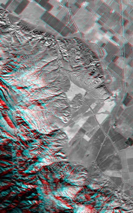
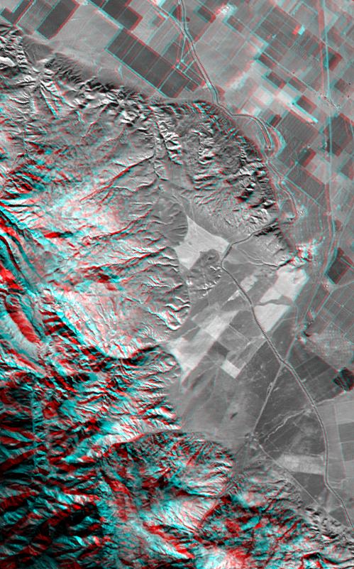
Wheeler Ridge and vicinity, California, is a site of major tectonic activity, both historically and over recent geologic time. The epicenter of the 7.5 magnitude Kern County earthquake occurred here on July 21,1952, and numerous geologic and topographic features indicate rapid geologic processes. The ridge itself (upper-right center) is a geologic fold that is growing out of the southern San Joaquin Valley. A prominent "wind gap," now used for passage of the California aquaduct (with the aid of a pumping station), is evidence that the ridge grew faster than tranversing streams could erode down. Nearby abrupt and/or landslid mountain fronts similarly indicate a vigorous tectonic setting here, just north of the San Andreas fault. The Interstate 5 freeway can be seen crossing agricultural fields on the right and entering the very rugged and steep Grapevine Canyon toward the bottom.
This anaglyph was generated by first draping a Landsat satellite image over a preliminary topographic map from the Shuttle Radar Topography Mission (SRTM), then generating two differing perspectives, one for each eye. When viewed through special glasses, the result is a vertically exaggerated view of the Earth's surface in its full three dimensions. Anaglyph glasses cover the left eye with a red filter and cover the right eye with a blue filter. Landsat has been providing visible and infrared views of the Earth since 1972. SRTM elevation data matches the 30 meter resolution of most Landsat images and will substantially help in analyses of the large and growing Landsat image archive.
The elevation data used in this image was acquired by SRTM aboard the Space Shuttle Endeavour, launched on February 11, 2000. SRTM used the same radar instrument that comprised the Spaceborne Imaging Radar-C/X-Band Synthetic Aperture Radar (SIR-C/X-SAR) that flew twice on the Space Shuttle Endeavour in 1994. SRTM was designed to collect three-dimensional measurements of the Earth's surface. To collect the 3-D data, engineers added a 60-meter-long (200-foot) mast, installed additional C-band and X-band antennas, and improved tracking and navigation devices. The mission is a cooperative project between the National Aeronautics and Space Administration (NASA), the National Imagery and Mapping Agency (NIMA) of the U.S. Department of Defense (DoD), and the German and Italian space agencies. It is managed by NASA's Jet Propulsion Laboratory, Pasadena, CA, for NASA's Earth Science Enterprise, Washington DC.
Size: 23.8 by 14.7 kilometers (14.6 by 9.0 miles)
Location: 35 deg. North lat., 119 deg. West lon. (exactly)
Orientation: North toward the upper right
Image: Landsat bands 1,2,3,4 blended as grey
Date Acquired: February 16, 2000 (SRTM), November 11, 1986 (Landsat)
 Planetary Data System


