|
Your search criteria found 19642 images Target is Sun |
| My List |
Addition Date | Target | Mission |
Instrument
|
Size |

|
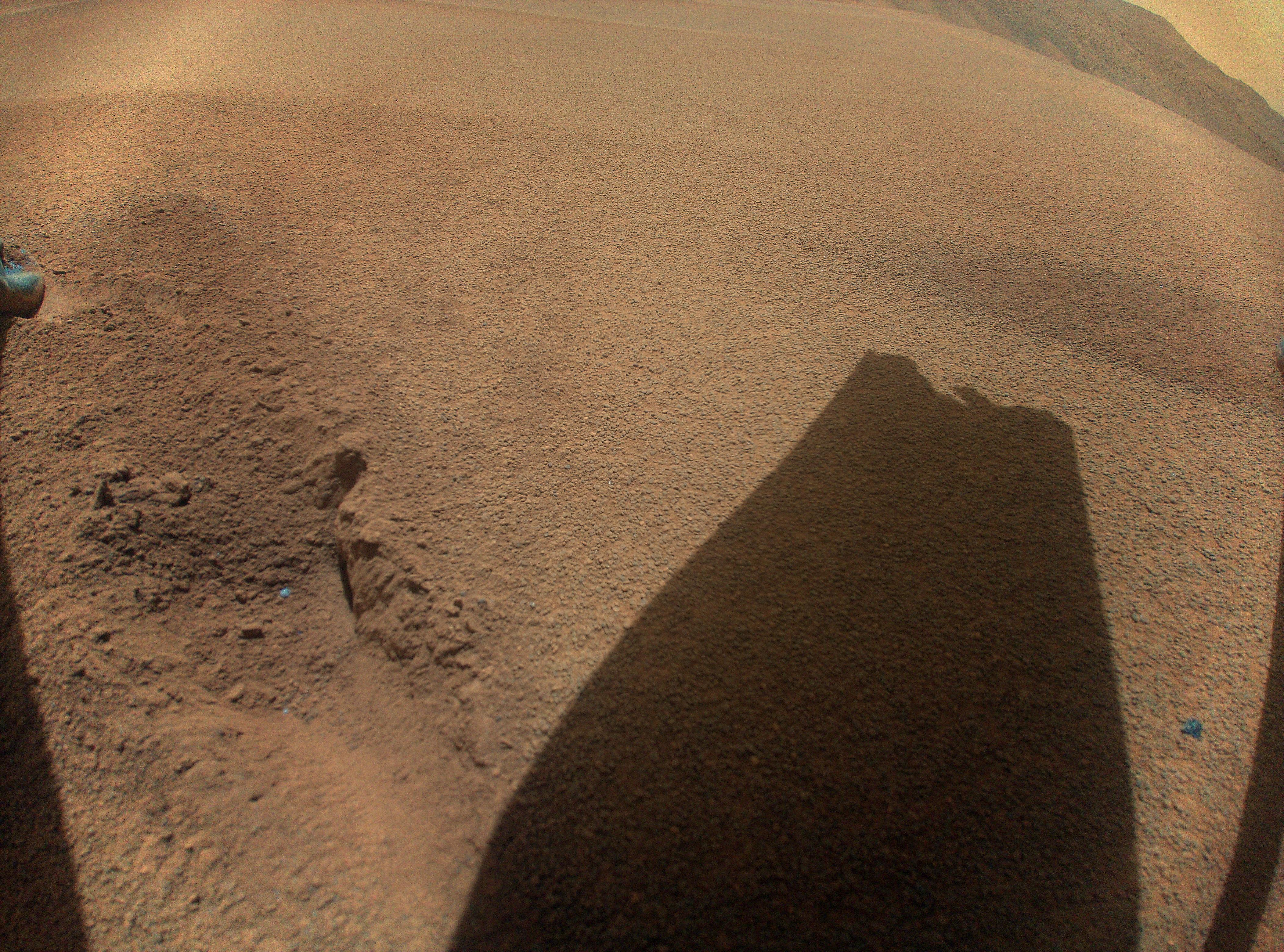
2023-06-08 | Mars |
Mars 2020 Rover |
12000x12000x3 | |
|
|||||
|
|
2023-06-08 | Mars |
Mars Science Laboratory (MSL) |
13200x10200x3 | |
|
|||||
|
|
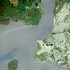
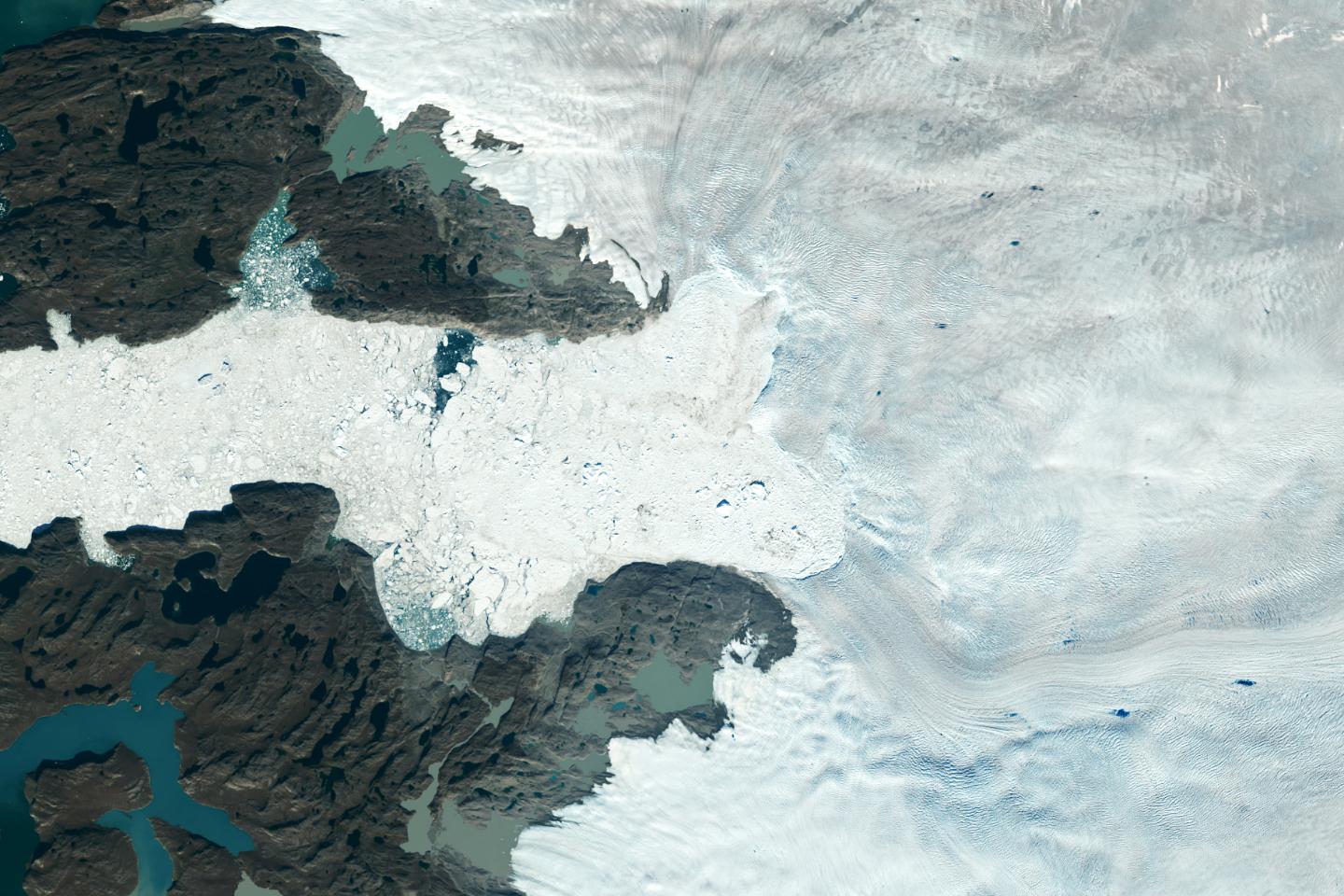
2023-06-22 | Earth |
Terra |
2741x2514x3 | |
|
|||||
|
|
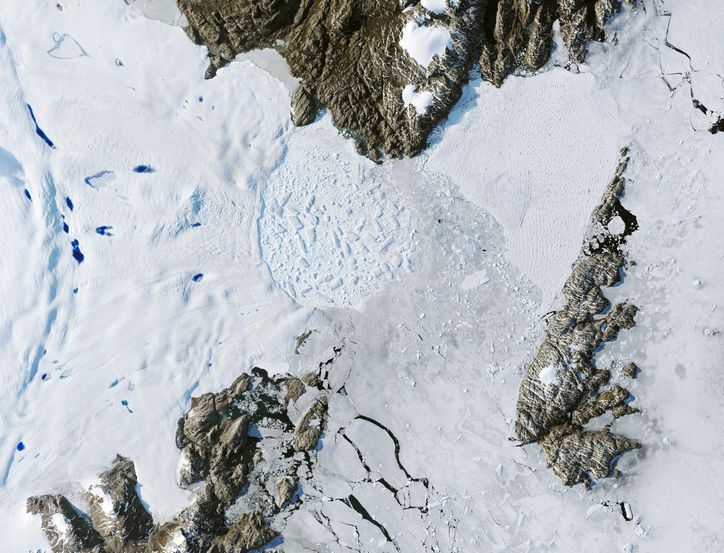
2023-06-27 | Earth |
Surface Water and Ocean Topography (SWOT) |
1125x1122x3 | |
|
|||||
|
|
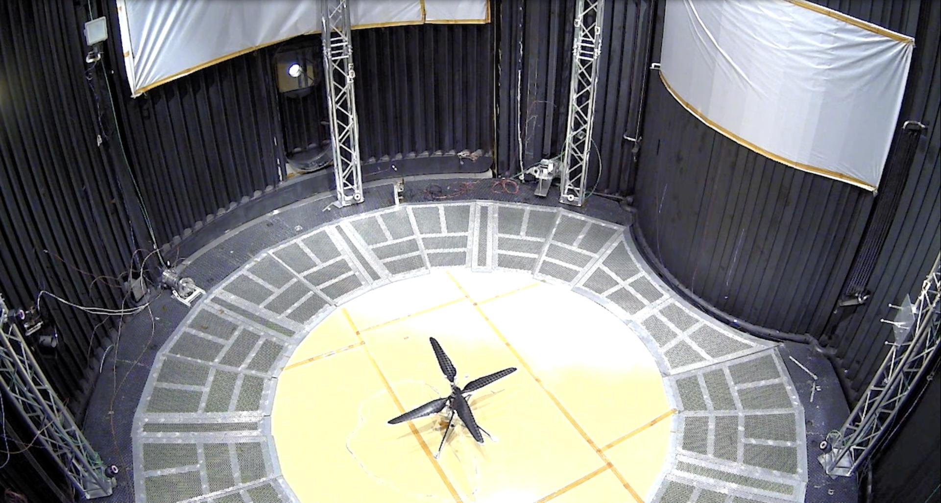
2023-06-30 | Mars |
Mars Helicopter |
640x480x1 | |
|
|||||
|
|
2023-07-18 | Asteroid |
Psyche |
8192x5464x3 | |
|
|||||
|
|
2023-07-18 | Asteroid |
Psyche |
8192x5464x3 | |
|
|||||
|
|
2023-07-19 | Mars |
Mars 2020 Rover |
1100x1100x3 | |
|
|||||
|
|
2023-08-03 | Asteroid |
Psyche |
6720x4480x3 | |
|
|||||
|
|
2023-08-03 | Asteroid |
Psyche |
6720x4480x3 | |

|
|||||
|
|
2023-08-07 | Mars |
Mars Helicopter |
4208x3120x3 | |
|
|||||
|
|
2023-08-10 | Mars |
Mars Sample Return (MSR) |
3840x2160x3 | |
|
|||||
|
|
2023-08-10 | Mars |
Mars Sample Return (MSR) |
1920x1080x3 | |
|
|||||
|
|
2023-08-10 | Mars |
Mars Sample Return (MSR) |
1920x1080x3 | |
|
|||||
|
|
2023-08-10 | Mars |
Mars Sample Return (MSR) |
1920x1080x3 | |

|
|||||
|
|
2023-08-14 | Earth |
Polar Radiant Energy in the Far-InfraRed Experiment (PREFIRE) |
1920x1080x3 | |
|
|||||
|
|
2023-08-28 | Asteroid |
Psyche |
2365x1327x3 | |

|
|||||
|
|
2023-08-28 | Asteroid |
Psyche |
5504x8256x3 | |
|
|||||
|
|
2023-08-28 | Asteroid |
Psyche |
14456x9637x3 | |

|
|||||
|
|
2023-09-18 | Mars |
Mars Science Laboratory (MSL) |
3006x1813x3 | |
|
|||||
|
|
2023-09-18 | Mars |
Mars Science Laboratory (MSL) |
1280x720x3 | |
|
|||||
|
|
2023-09-21 | Mars |
Mars 2020 Rover |
1488x872x3 | |

|
|||||
|
|
2023-10-18 | Earth |
Sentinel-6/Jason-CS |
1586x783x3 | |
|
|||||
|
|
2023-10-26 | Mars | 2221x1288x3 | ||
|
|||||
|
|
2023-10-26 | Mars | 2852x1169x3 | ||
|
|||||
|
|
2023-10-27 | Earth |
NISAR |
973x913x3 | |
|
|||||
|
|
2023-10-27 | Earth |
NISAR |
1800x1275x3 | |
|
|||||
|
|
2023-11-09 | Jupiter |
Juno |
2496x1696x3 | |
|
|||||
|
|
2023-11-10 | Mars |
Mars Helicopter |
4208x3120x3 | |
|
|||||
|
|
2023-11-10 | Mars |
Mars Helicopter |
4208x3120x3 | |
|
|||||
|
|
2023-11-10 | Mars |
Mars Helicopter |
4208x3120x3 | |
|
|||||
|
|
2023-12-12 | Mars |
Mars 2020 Rover |
1580x882x3 | |
|
|||||
|
|
2023-12-20 | Mars |
Mars Helicopter |
1921x1027x3 | |
|
|||||
|
|
2024-01-17 | Earth |
Landsat |
1440x960x3 | |
|
|||||
|
|
2024-01-17 | Earth |
Landsat |
1440x1100x3 | |
|
|||||
|
|
2024-01-25 | Mars |
Mars Helicopter |
4208x3120x3 | |
|
|||||
|
|
2024-01-25 | Mars |
Mars Helicopter |
4208x3120x3 | |
|
|||||
|
|
2024-02-27 | Mars |
Mars Helicopter |
640x480x1 | |
|
|||||
|
|
2024-03-21 | Earth |
TOPEX/Poseidon Sentinel-6 Michael Freilich |
3300x2550x3 | |
|
|||||
|
|
2024-03-29 | Mars |
Mars Helicopter |
628x469x3 | |
|
|||||
|
|
2024-03-29 | Mars |
Mars Helicopter |
4000x2250x3 | |
|
|||||
|
|
2024-04-03 | Mars |
Mars 2020 Rover |
1100x1100x3 | |
|
|||||
|
|
2024-04-16 | Mars |
Mars Helicopter |
8256x5504x3 | |

|
|||||
|
|
2024-04-17 | Mars |
Mars Helicopter |
8256x5504x3 | |

|
|||||
|
|
2024-04-17 | Mars |
Mars Helicopter |
8256x5504x3 | |

|
|||||
|
|
2024-04-17 | Mars |
Mars Helicopter |
8256x5504x3 | |

|
|||||
|
|
2024-04-17 | Mars |
Mars Helicopter |
8256x5504x3 | |

|
|||||
|
|
2003-09-25 | Mars |
Mars Reconnaissance Orbiter (MRO) |
3201x2921x3 | |
|
|||||
|
|
2003-10-22 | Mars |
Mars Express (MEX) |
5431x4691x3 | |

|
|||||
|
|
2004-02-09 | Mars |
Mars Global Surveyor (MGS) Mars Exploration Rover (MER) |
5440x5400x3 | |

|
|||||
|
|
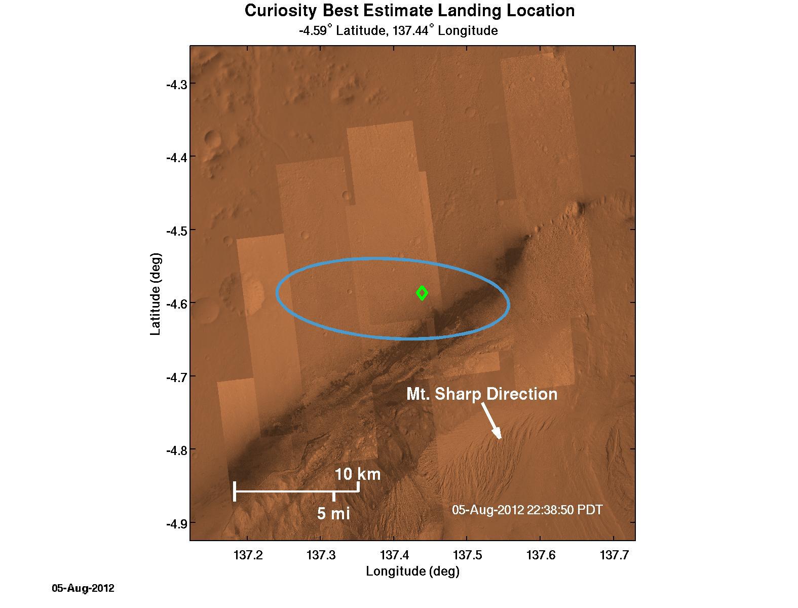
2012-08-06 | Mars |
Mars Science Laboratory (MSL) |
1575x1200x3 | |
|
|||||
|
|
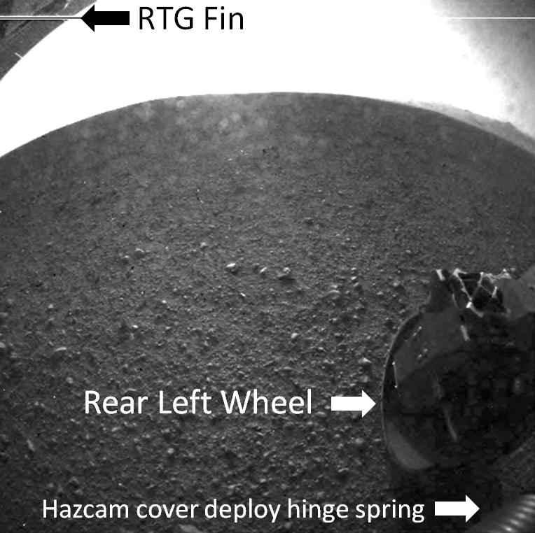
2012-08-06 | Mars |
Mars Science Laboratory (MSL) |
764x762x1 | |
|
|||||
|
|
2012-06-15 | Venus |
ACRIMSAT |
ACRIM3 |
4800x3600x1 |
|
|||||
|
|
2005-09-07 | Ceres |
Hubble Space Telescope |
Advanced Camera for Surveys |
250x250x3 |
|
|||||
|
|
2009-01-07 | Comet |
Hubble Space Telescope |
Advanced Camera for Surveys |
846x916x3 |
|
|||||
|
|
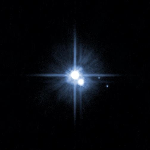
2009-04-21 | Pluto |
Hubble Space Telescope |
Advanced Camera for Surveys |
504x504x3 |
|
|||||
|
|
2010-04-21 | Earth |
Earth Observing-1 (EO-1) |
Advanced Land Imager (ALI) |
1248x1110x3 |

|
|||||
|
|
2014-09-03 | Earth |
Earth Observing-1 (EO-1) |
Advanced Land Imager (ALI) |
1157x1024x3 |
|
|||||
|
|
2014-09-09 | Earth |
Earth Observing-1 (EO-1) |
Advanced Land Imager (ALI) |
1600x1155x3 |
|
|||||
|
|
2014-09-15 | Earth |
Earth Observing-1 (EO-1) |
Advanced Land Imager (ALI) |
1158x879x3 |
|
|||||
|
|
2015-12-07 | Earth |
Earth Observing-1 (EO-1) |
Advanced Land Imager (ALI) |
3000x4828x3 |
|
|||||
|
|
2011-06-17 | Earth |
Earth Observing-1 (EO-1) |
Advanced Land Imager (ALI) Hyperion Hyperspectral Imager |
1800x1528x3 |

|
|||||
|
|
2014-09-03 | Earth |
Earth Observing-1 (EO-1) |
Advanced Land Imager (ALI) Hyperion Hyperspectral Imager |
2800x4000x3 |
|
|||||
|
|
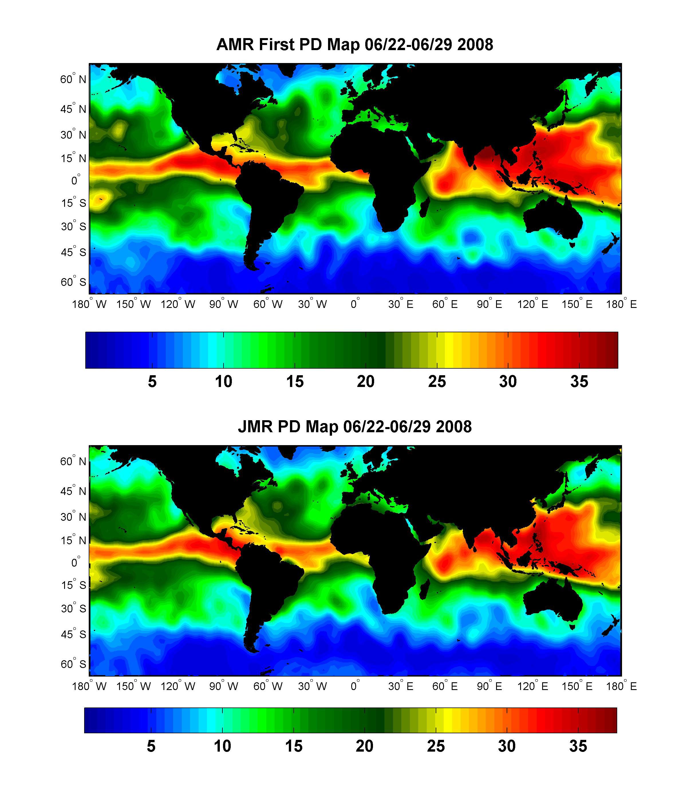
2008-07-15 | Earth |
OSTM/Jason-2 |
Advanced Microwave Radiometer (AMR) |
2400x2772x3 |
|
|||||
|
|
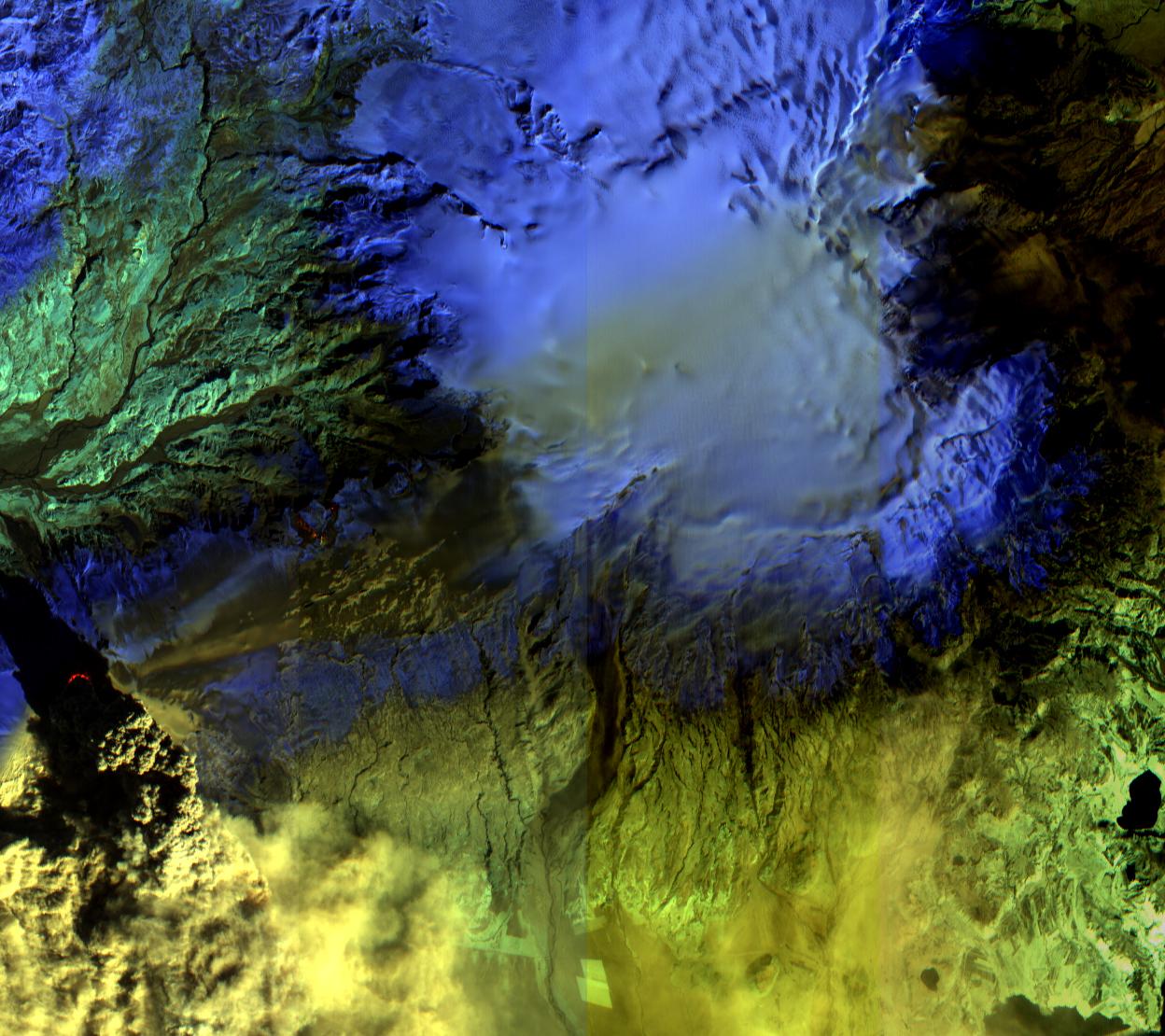
2015-02-19 | Earth |
Terra |
ASTER |
3300x2000x3 |
|
|||||
|
|
2002-10-29 | Earth |
Terra |
ASTER |
1400x1100x3 |
|
|||||
|
|
2000-03-11 | Earth |
Terra |
ASTER |
2263x2027x1 |
|
|||||
|
|
2000-03-11 | Earth |
Terra |
ASTER |
2160x2251x1 |
|
|||||
|
|
2000-03-11 | Earth |
Terra |
ASTER |
2288x2288x3 |
|
|||||
|
|
2011-11-10 | Earth |
Terra |
ASTER |
4032x7962x3 |

|
|||||
|
|
2000-04-26 | Earth |
Terra |
ASTER |
2100x1445x3 |
|
|||||
|
|
2000-04-26 | Earth |
Terra |
ASTER |
4100x4980x3 |
|
|||||
|
|
2000-04-26 | Earth |
Terra |
ASTER |
4100x5400x3 |
|
|||||
|
|
2000-04-26 | Earth |
Terra |
ASTER |
4100x6177x3 |
|
|||||
|
|
2000-04-26 | Earth |
Terra |
ASTER |
1174x1447x3 |
|
|||||
|
|
2000-10-06 | Earth |
Terra |
ASTER |
4980x4200x3 |
|
|||||
|
|
2000-10-06 | Earth |
Terra |
ASTER |
930x911x3 |
|
|||||
|
|
2000-10-06 | Earth |
Terra |
ASTER |
2470x1828x3 |
|
|||||
|
|
2000-10-06 | Earth |
Terra |
ASTER |
2280x3887x3 |

|
|||||
|
|
2000-10-06 | Earth |
Terra |
ASTER |
2645x1050x3 |

|
|||||
|
|
2000-10-06 | Earth |
Terra |
ASTER |
1595x1925x3 |
|
|||||
|
|
2000-10-06 | Earth |
Terra |
ASTER |
1528x1322x3 |
|
|||||
|
|
2000-10-06 | Earth |
Terra |
ASTER |
2412x4065x3 |
|
|||||
|
|
2000-10-06 | Earth |
Terra |
ASTER |
1211x911x3 |

|
|||||
|
|
2001-07-21 | Earth |
Terra |
ASTER |
1228x709x3 |
|
|||||
|
|
2001-07-21 | Earth |
Terra |
ASTER |
1282x1603x3 |

|
|||||
|
|
2001-07-21 | Earth |
Terra |
ASTER |
4368x4140x3 |
|
|||||
|
|
2000-10-20 | Earth |
Terra |
ASTER |
2138x2738x3 |
|
|||||
|
|
2001-07-21 | Earth |
Terra |
ASTER |
2000x1500x3 |
|
|||||
|
|
2001-07-21 | Earth |
Terra |
ASTER |
800x800x3 |
|
|||||
|
|
2001-07-21 | Earth |
Terra |
ASTER |
2412x1925x3 |
|
|||||
|
|
2001-07-21 | Earth |
Terra |
ASTER |
4048x3824x3 |
|
|||||
|
|
2001-07-21 | Earth |
Terra |
ASTER |
4200x3600x3 |
|
|||||
|
|
2001-07-21 | Earth |
Terra |
ASTER |
1191x1230x3 |
|
|||||
|
|
2001-07-21 | Earth |
Terra |
ASTER |
516x946x3 |
|
|||||
|
|
2001-07-26 | Earth |
Terra |
ASTER |
2000x2011x3 |
|
|||||
|
|
2001-08-01 | Earth |
Terra |
ASTER |
2000x2400x3 |
|
|||||
|
|
2001-08-03 | Earth |
Terra |
ASTER |
1600x2000x3 |
|
|||||
|
|
2001-08-03 | Earth |
Terra |
ASTER |
576x720x3 |
|
|||||
|
|
2001-08-27 | Earth |
Terra |
ASTER |
4376x4820x3 |
|
|||||

|
 |
|
|
|
|
|
|
|
|
|

|
| 1-100 | 101-200 | 201-300 | 301-400 | 401-500 | 501-600 | 601-700 | 701-800 | 801-900 | 901-1000 |
| Currently displaying images: 1101 - 1200 of 19642 |