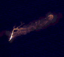
Unannotated Version
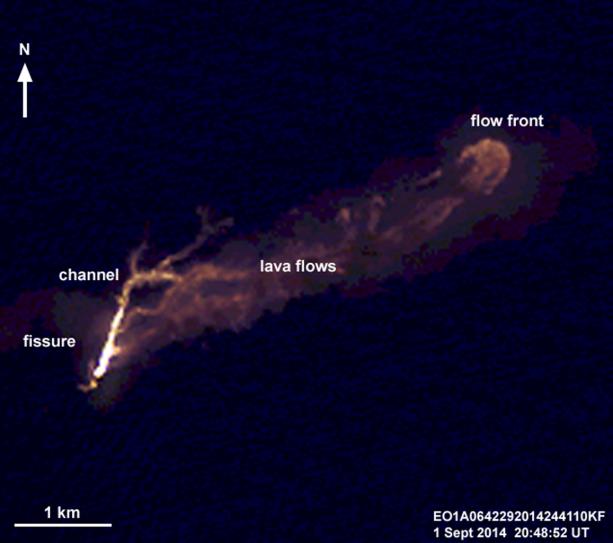
Click on the imageOn the night of Sept. 1, 2014, the Advanced Land Imager (ALI) on NASA's Earth Observing 1 (EO-1) spacecraft observed the ongoing eruption at Holuhraun, Iceland, from an altitude of 438 miles (705 kilometers). Data were collected at a resolution of 98 feet (30 meters) per pixel at different infrared wavelengths and were then combined to create this false-color image that emphasizes the hottest areas of the vent and resulting lava flows. The image captured the 0.6-mile (1-kilometer)-long fissure from which lava is erupting, a channeled lava flow, and a broad expanse of lava flows extending 2.2 miles( 3.5 kilometers) from the fissure.
The eruption is being closely monitored by scientists at the Icelandic Meteorological Office and University of Iceland. Because this event took place away from the icecaps of Vatnajökull and Dyngjujökull, this event did not generate a large ash plume like that of the Eyjafjallajöull eruption in Iceland in 2010.
The EO-1 spacecraft is managed by NASA's Goddard Space Flight Center, Greenbelt, Maryland. EO-1 is the satellite remote-sensing asset used by the EO-1 Volcano Sensor Web (VSW) developed by NASA's Jet Propulsion Laboratory, Pasadena, California, which is being used to monitor this, and other, volcanic eruptions around the world.