|
Your search criteria found 19634 images Target is Sun |
| My List |
Addition Date | Target |
Mission
|
Instrument | Size |

|
1996-11-27 | Toutatis | 4096x3072x3 | ||
|
|||||
|
|
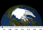
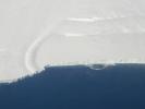
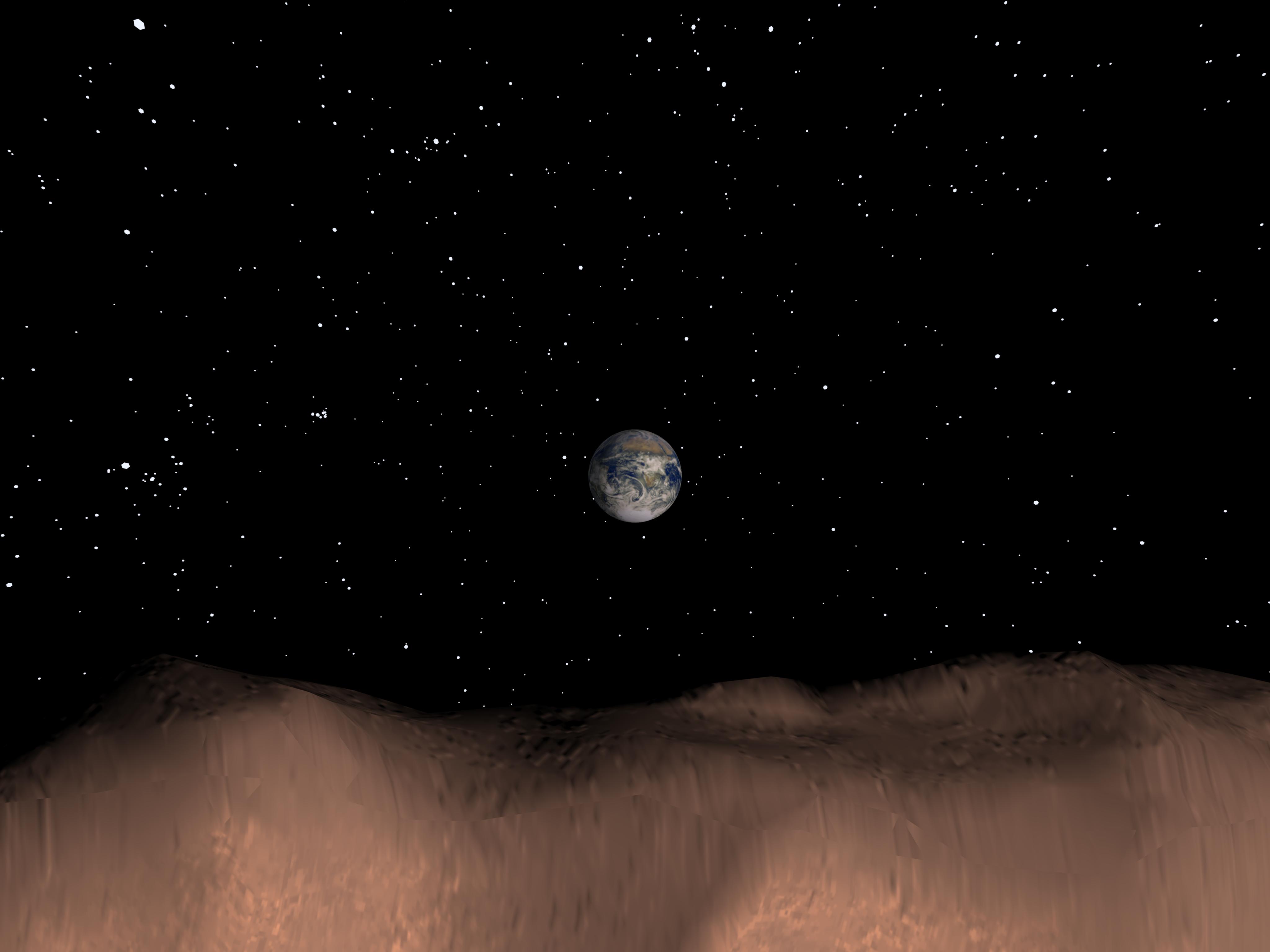
2001-03-30 | Earth | 1352x1390x3 | ||
|
|||||
|
|
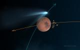
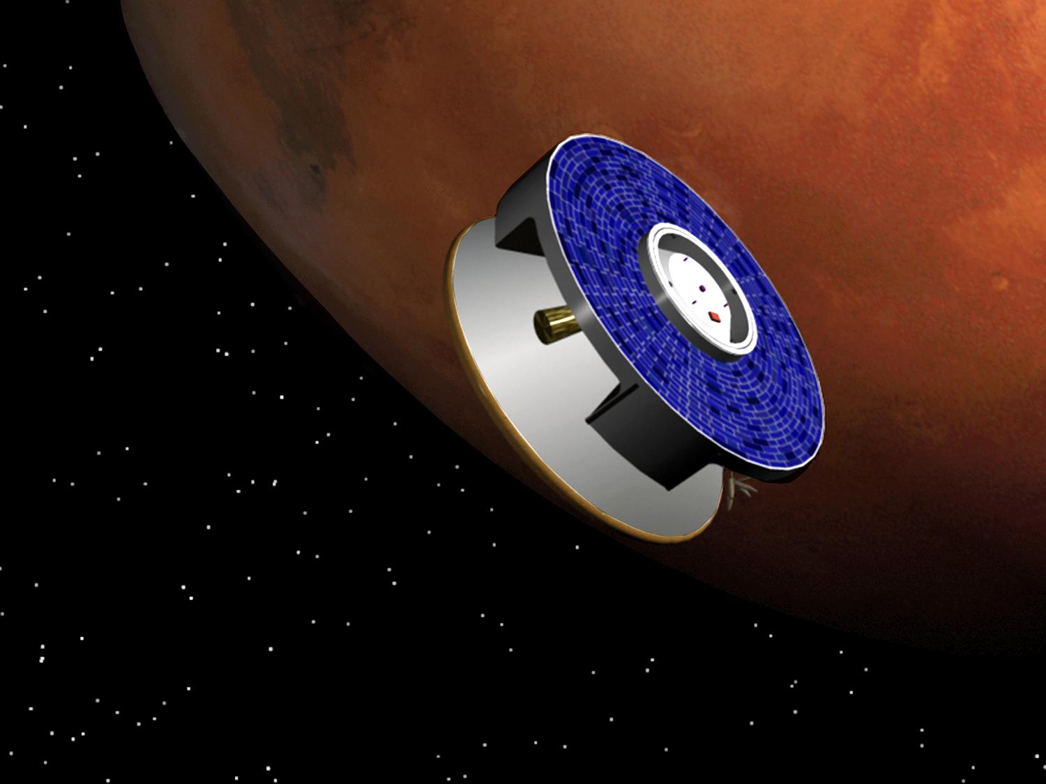
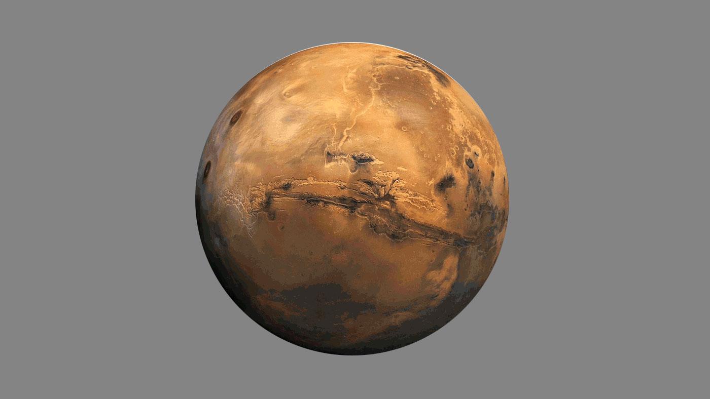
2003-02-05 | Mars | 1500x1125x3 | ||

|
|||||
|
|
2005-05-16 | Tempel 1 |
Kitt Peak National Observatory's 2.1 m Telescope |
801x701x3 | |

|
|||||
|
|
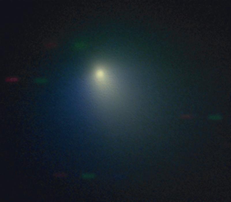
2005-07-01 | Comet | 720x573x3 | ||

|
|||||
|
|
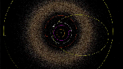
2005-08-03 | Eris |
Samuel Oschin Telescope |
3000x2250x3 | |
|
|||||
|
|
2005-08-03 | Eris |
Samuel Oschin Telescope Palomar Adaptive Optics System |
603x200x3 | |
|
|||||
|
|
2006-08-16 | Mars | 2910x4093x3 | ||

|
|||||
|
|
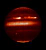
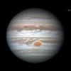
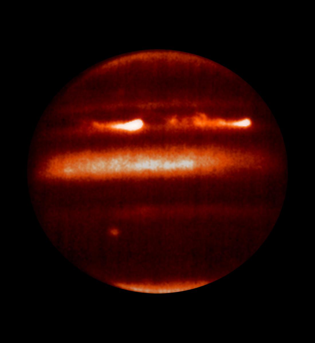
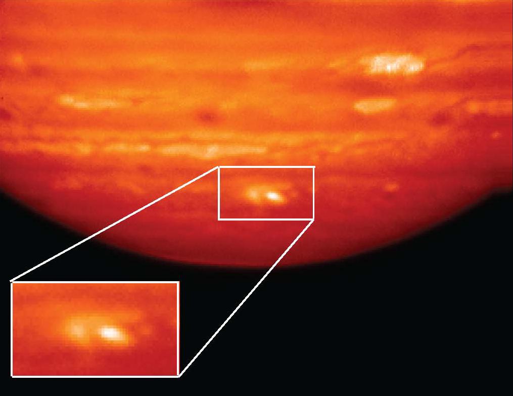
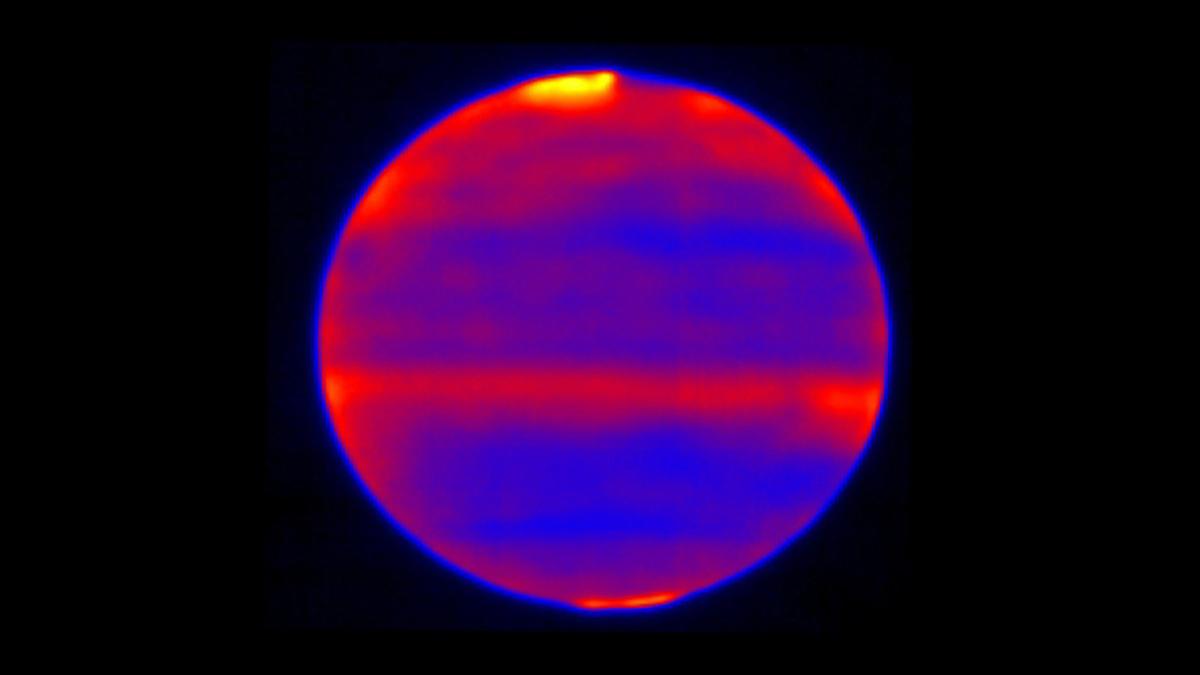
2008-01-25 | Jupiter |
IRTF |
1100x1200x3 | |
|
|||||
|
|
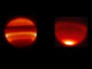
2008-05-07 | Saturn |
IRTF |
3000x2250x3 | |
|
|||||
|
|
2009-07-20 | Jupiter |
IRTF |
806x1450x1 | |
|
|||||
|
|
2009-07-20 | Jupiter |
IRTF |
640x350x1 | |
|
|||||
|
|
2010-05-27 | Earth |
AVIRIS |
324x523x3 | |

|
|||||
|
|
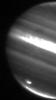
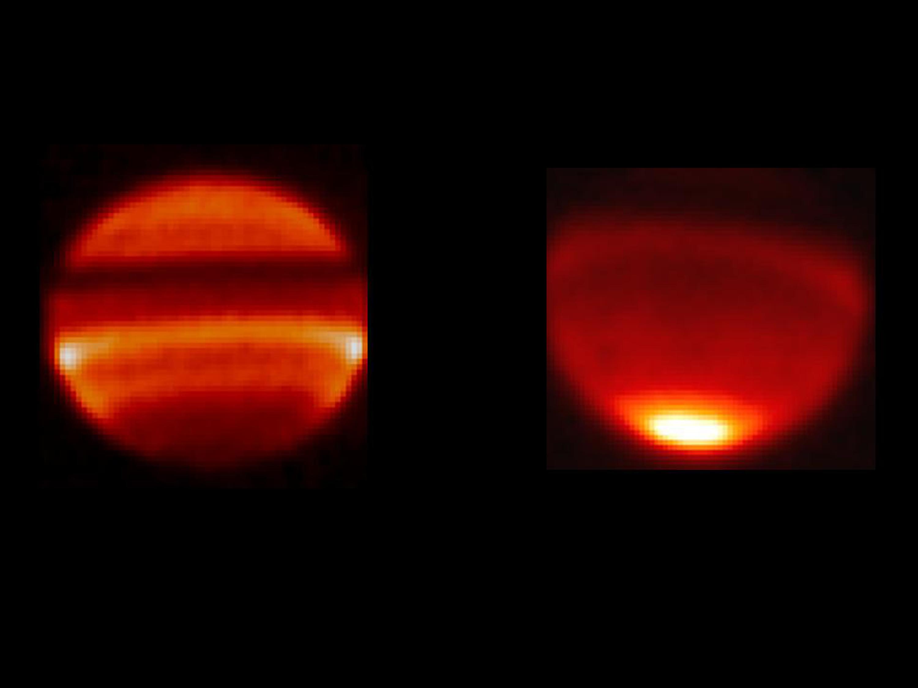
2011-01-26 | Jupiter |
Gemini North Telescope |
1015x783x3 | |

|
|||||
|
|
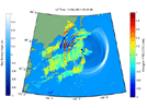
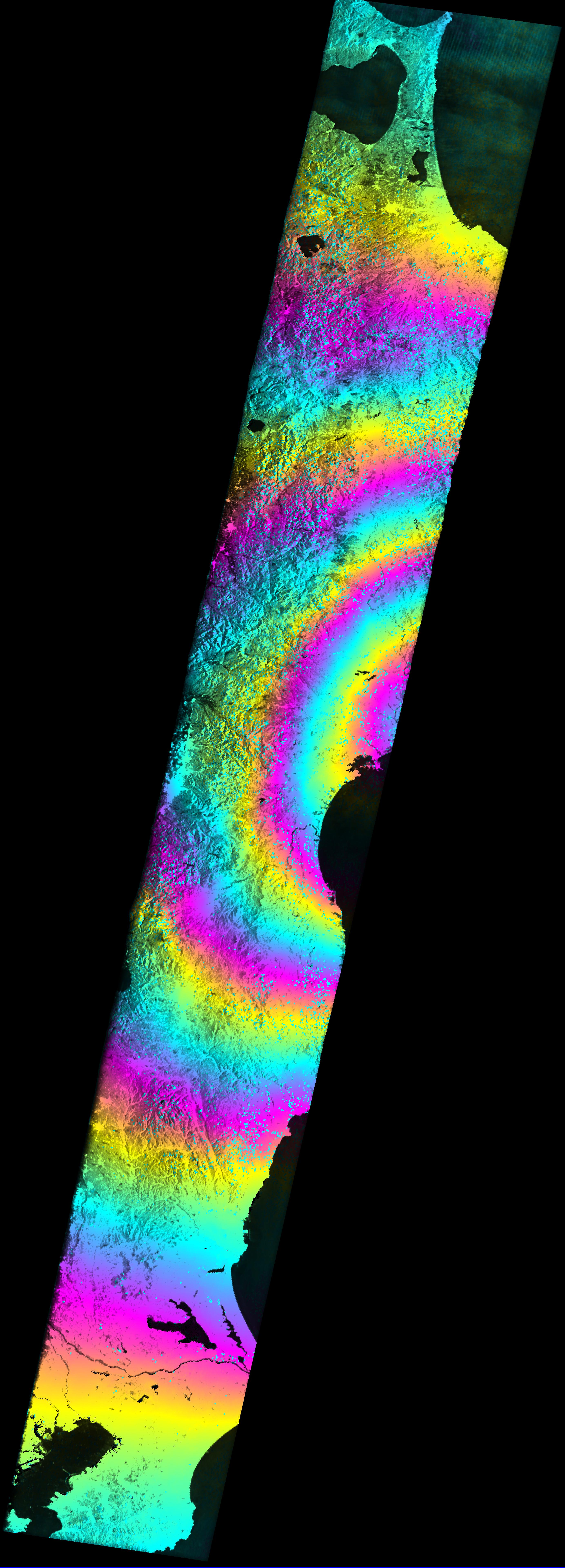
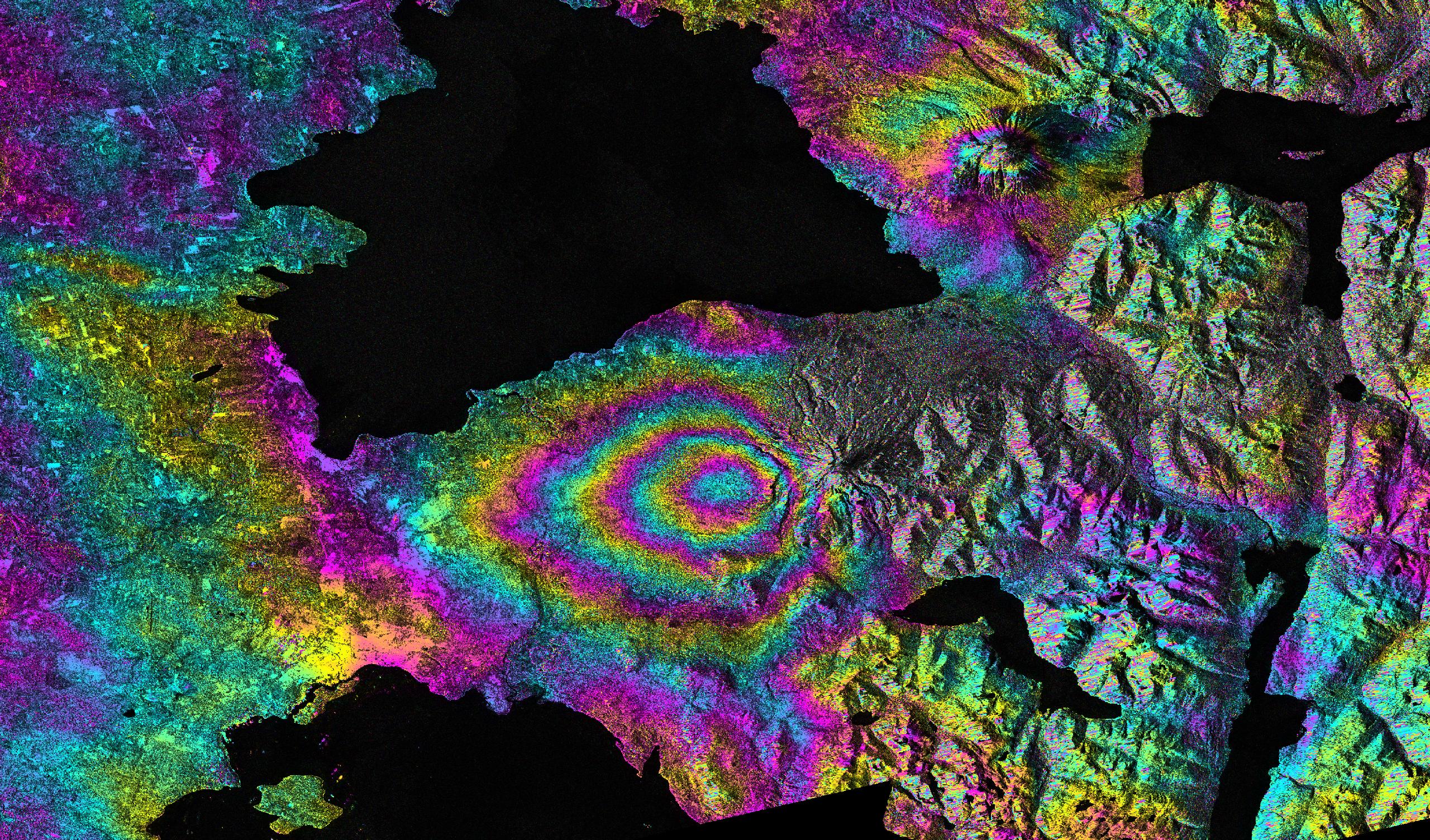
2011-04-01 | Earth |
Advanced Synthetic Aperture Radar |
2768x7680x3 | |
|
|
|||||
|
|
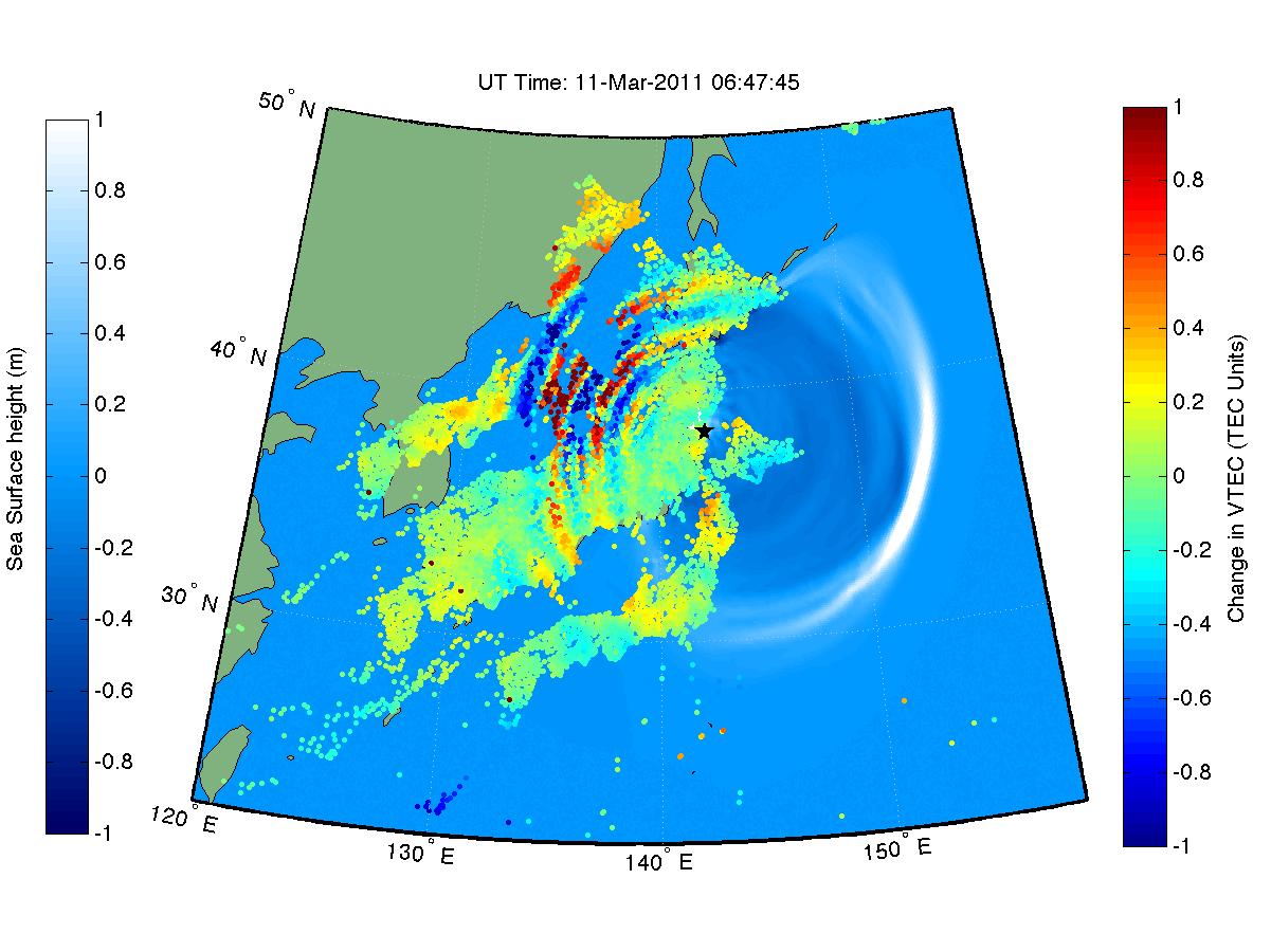
2011-07-06 | Earth | 361x252x3 | ||
|
|||||
|
|
2012-02-16 | Earth | 1201x900x3 | ||
|
|||||
|
|
2011-08-18 | Earth | 1192x1192x3 | ||
|
|||||
|
|
2011-08-18 | Earth | 455x256x3 | ||
|
|||||
|
|
2012-02-06 | Earth | 1023x574x3 | ||
|
|||||
|
|
2012-02-06 | Earth | 1023x578x3 | ||
|
|||||
|
|
2012-03-01 | Earth |
GOME-2 |
1403x763x3 | |
|
|||||
|
|
2012-03-01 | Earth |
GOME-2 |
1403x762x3 | |
|
|||||
|
|
2012-09-27 | Earth | 965x720x3 | ||

|
|||||
|
|
2013-03-20 | Mars | 726x400x3 | ||
|
|||||
|
|
2013-02-16 | Earth | 3029x1080x3 | ||
|
|||||
|
|
2013-02-16 | Earth | 1920x1280x3 | ||
|
|||||
|
|
2013-06-13 | Earth | 3264x2448x3 | ||
|
|||||
|
|
2013-06-13 | Earth | 3264x2448x3 | ||

|
|||||
|
|
2013-06-13 | Earth | 1984x1488x3 | ||
|
|||||
|
|
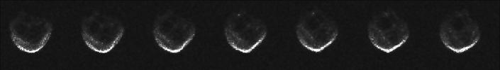
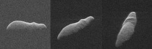
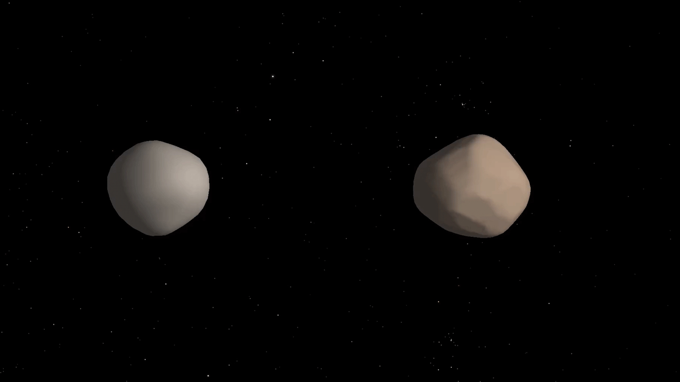
2013-08-02 | Asteroid | 3254x2613x3 | ||
|
|||||
|
|
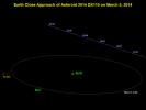
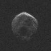
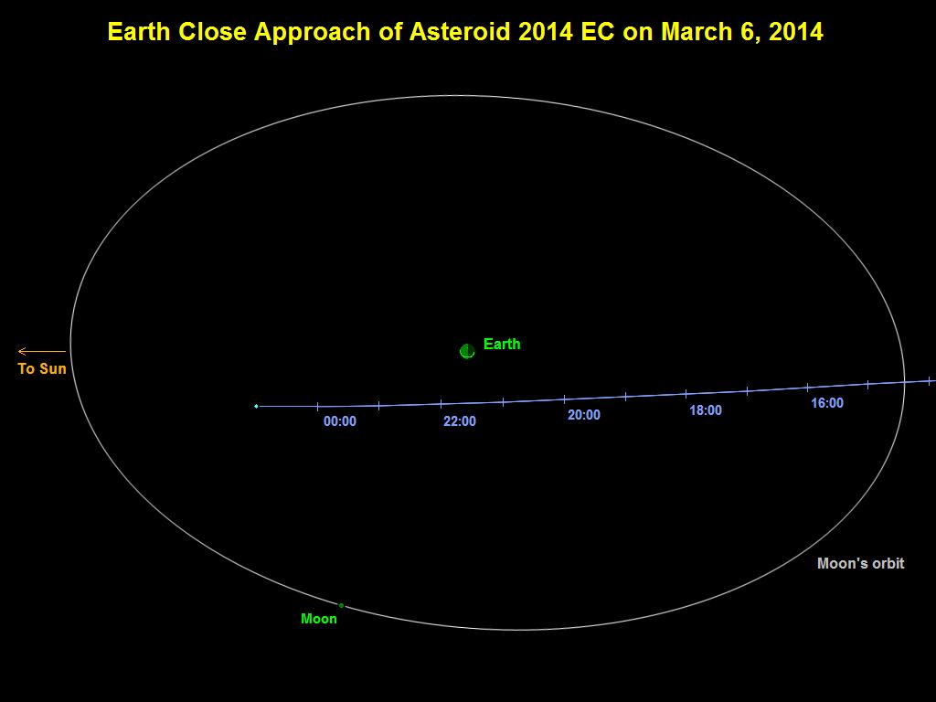
2014-03-06 | Asteroid | 1024x768x3 | ||
|
|||||
|
|
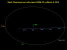
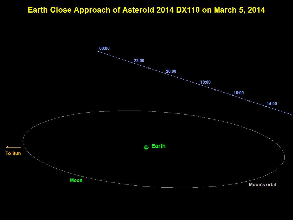
2014-03-05 | Asteroid | 1024x768x3 | ||
|
|||||
|
|
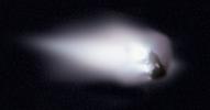
1986-03-14 | Comet | 1836x961x3 | ||
|
|||||
|
|
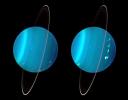
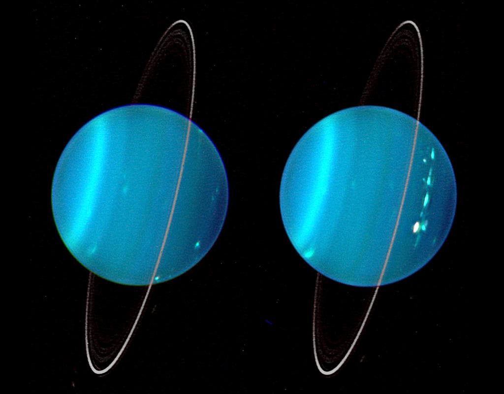
2004-07-11 | Uranus |
Keck Telescope |
1024x800x3 | |
|
|||||
|
|
2011-04-11 | Eris | 3000x2400x3 | ||
|
|||||
|
|
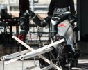
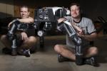
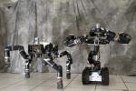
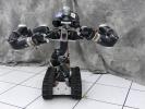
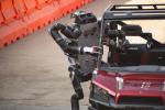
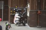
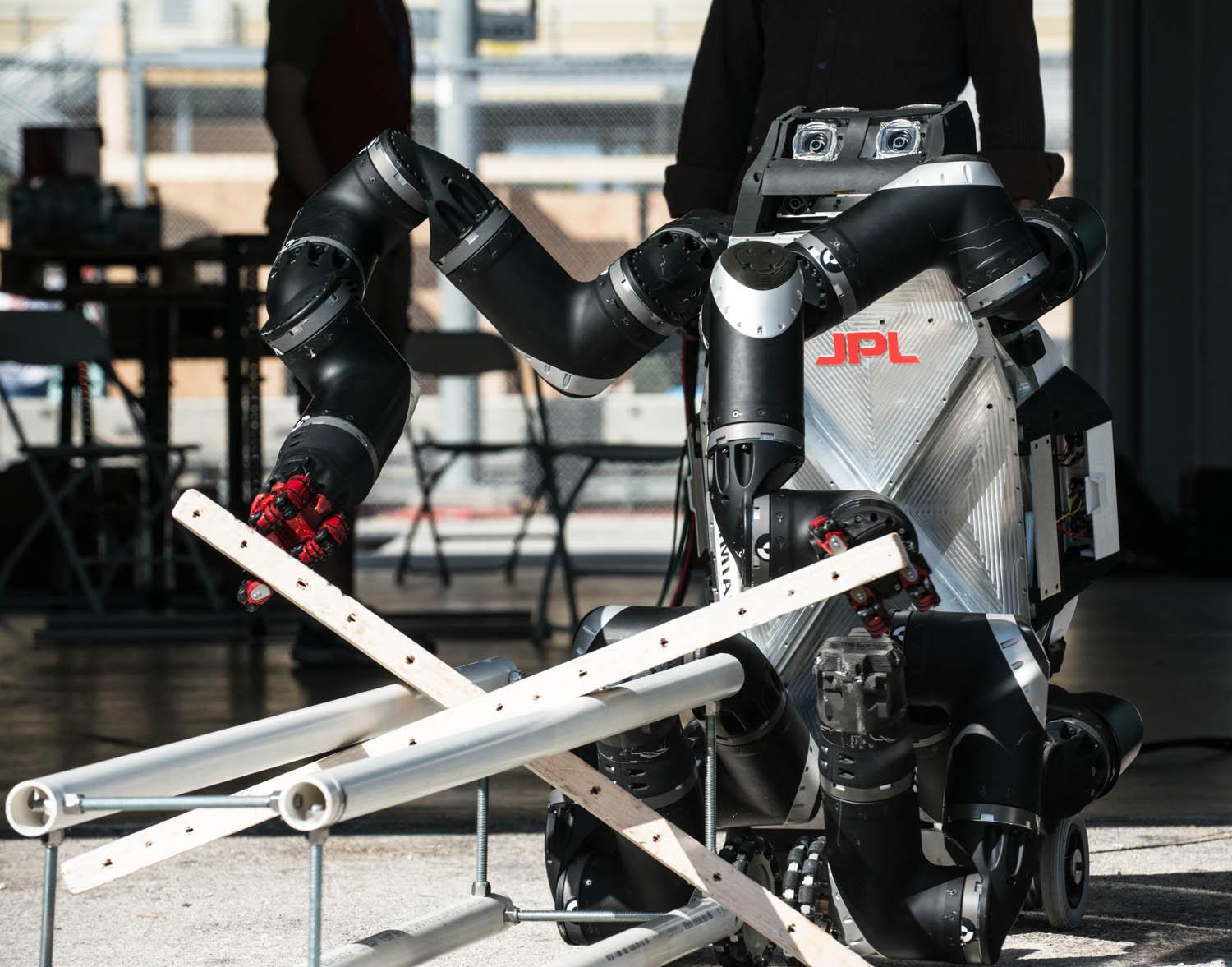
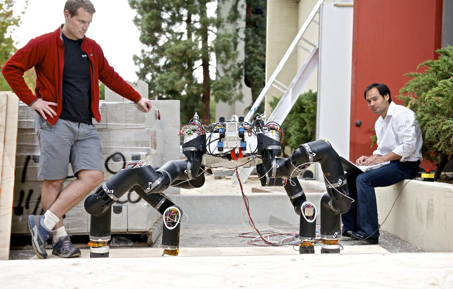
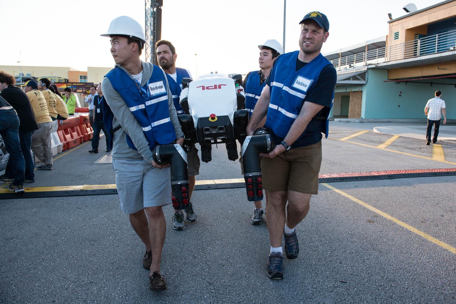
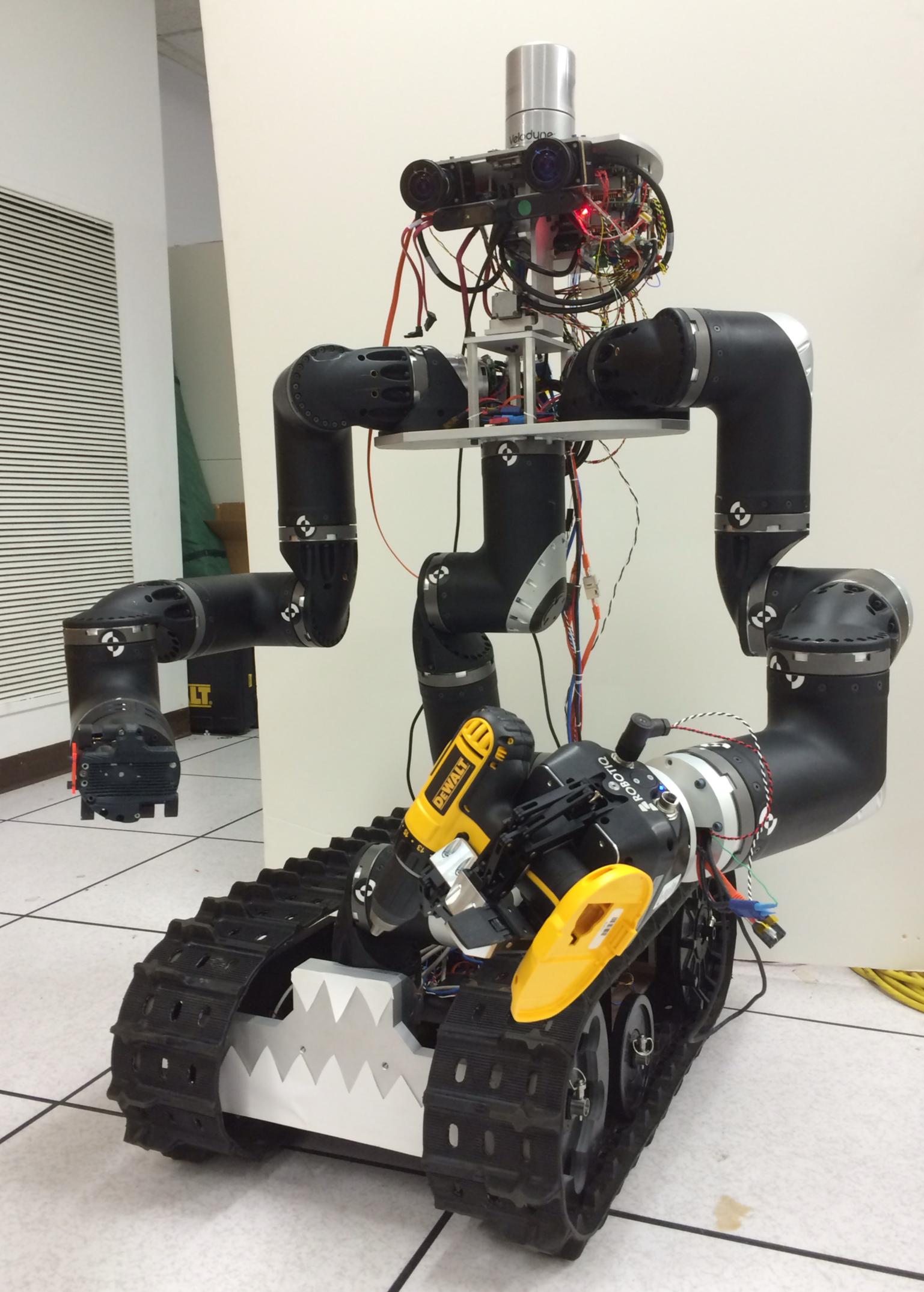
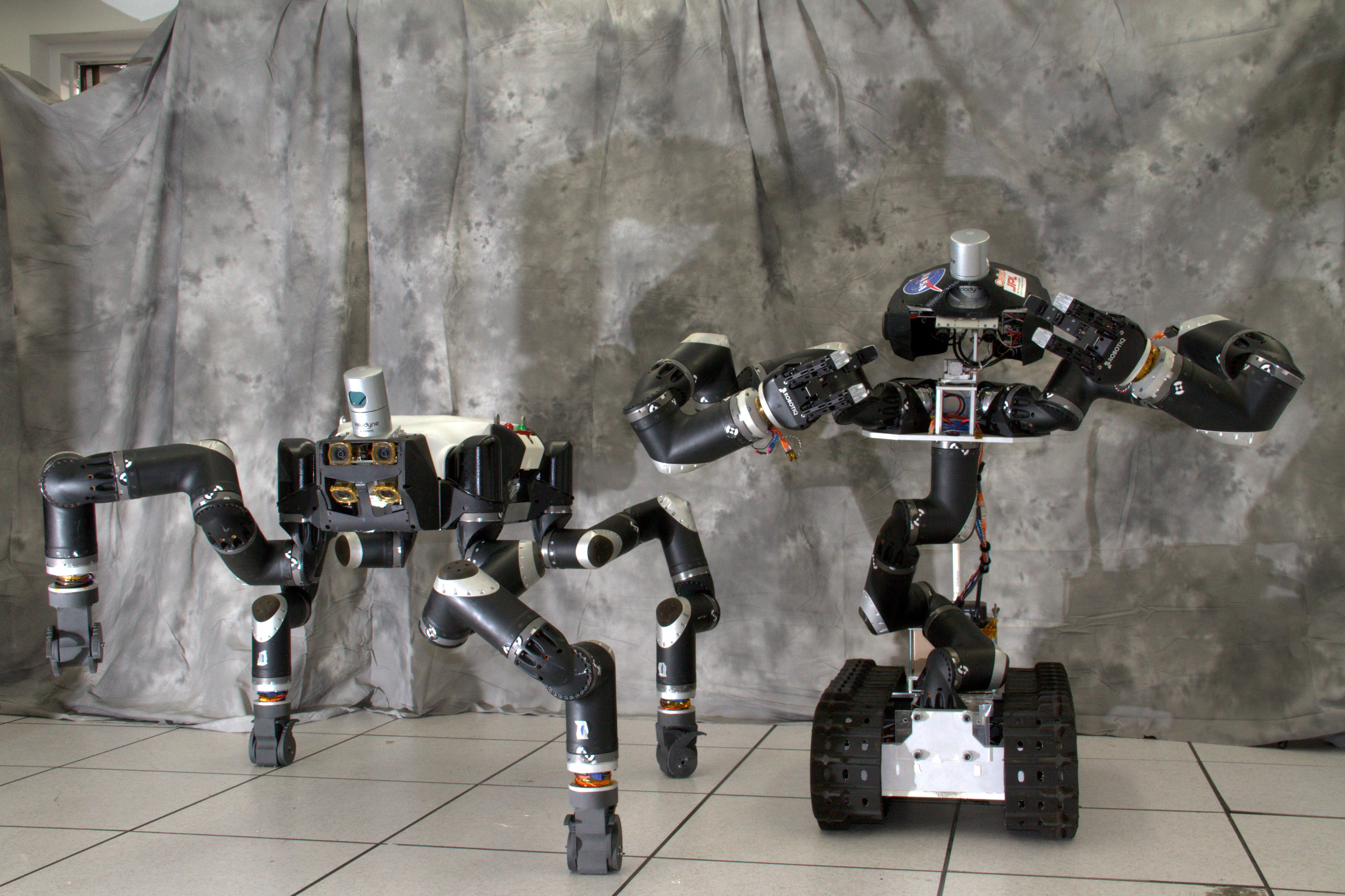
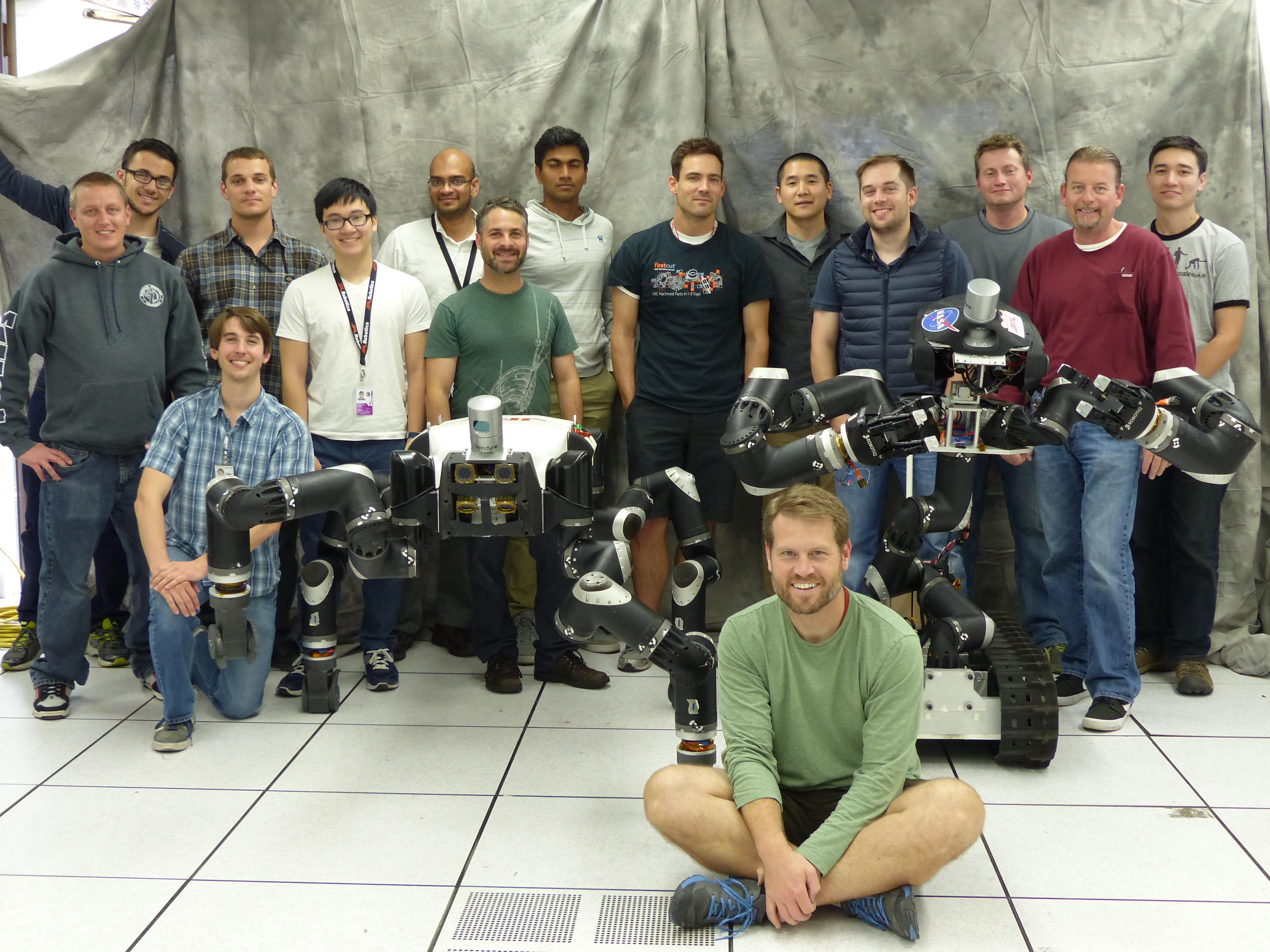
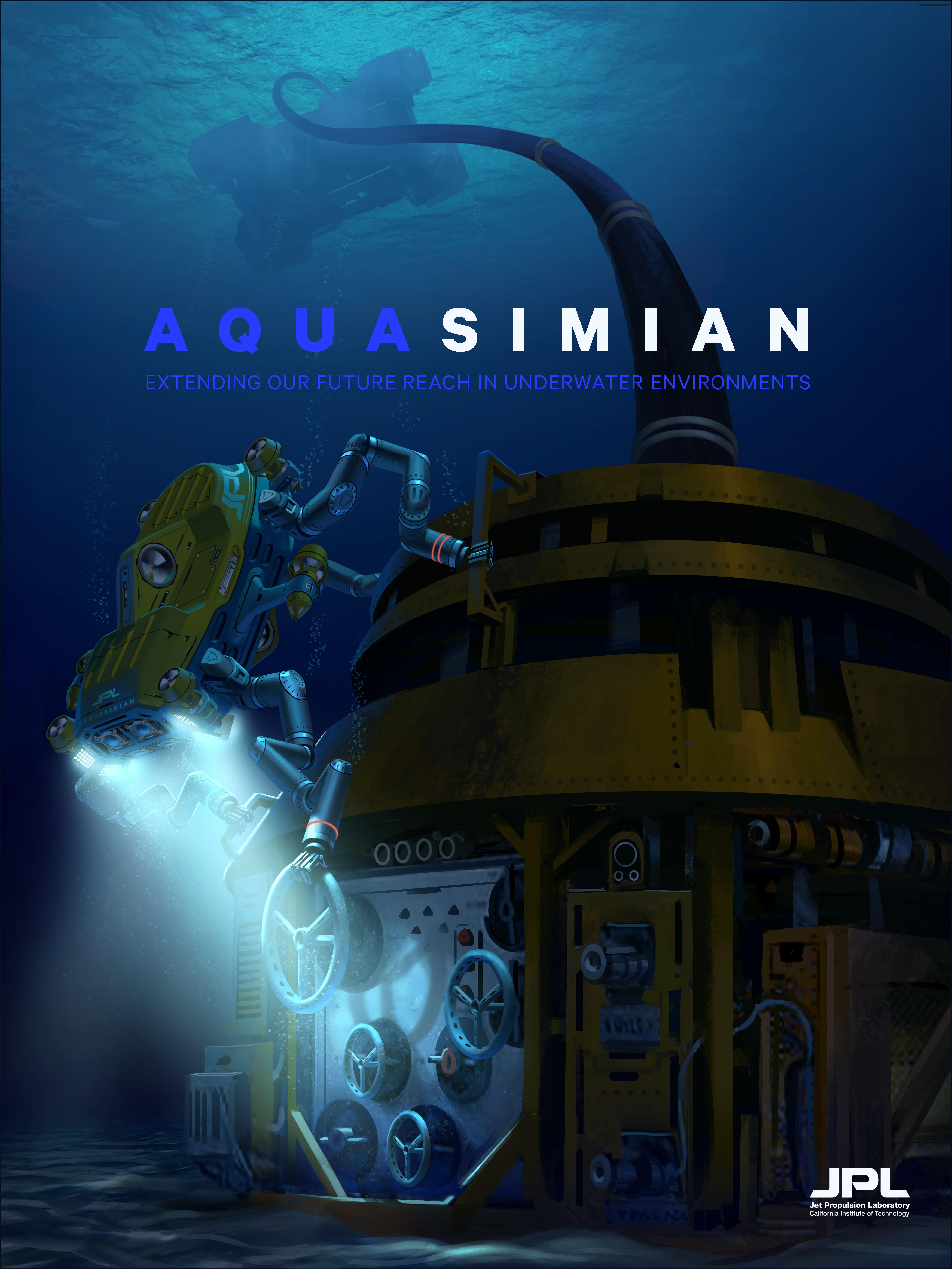
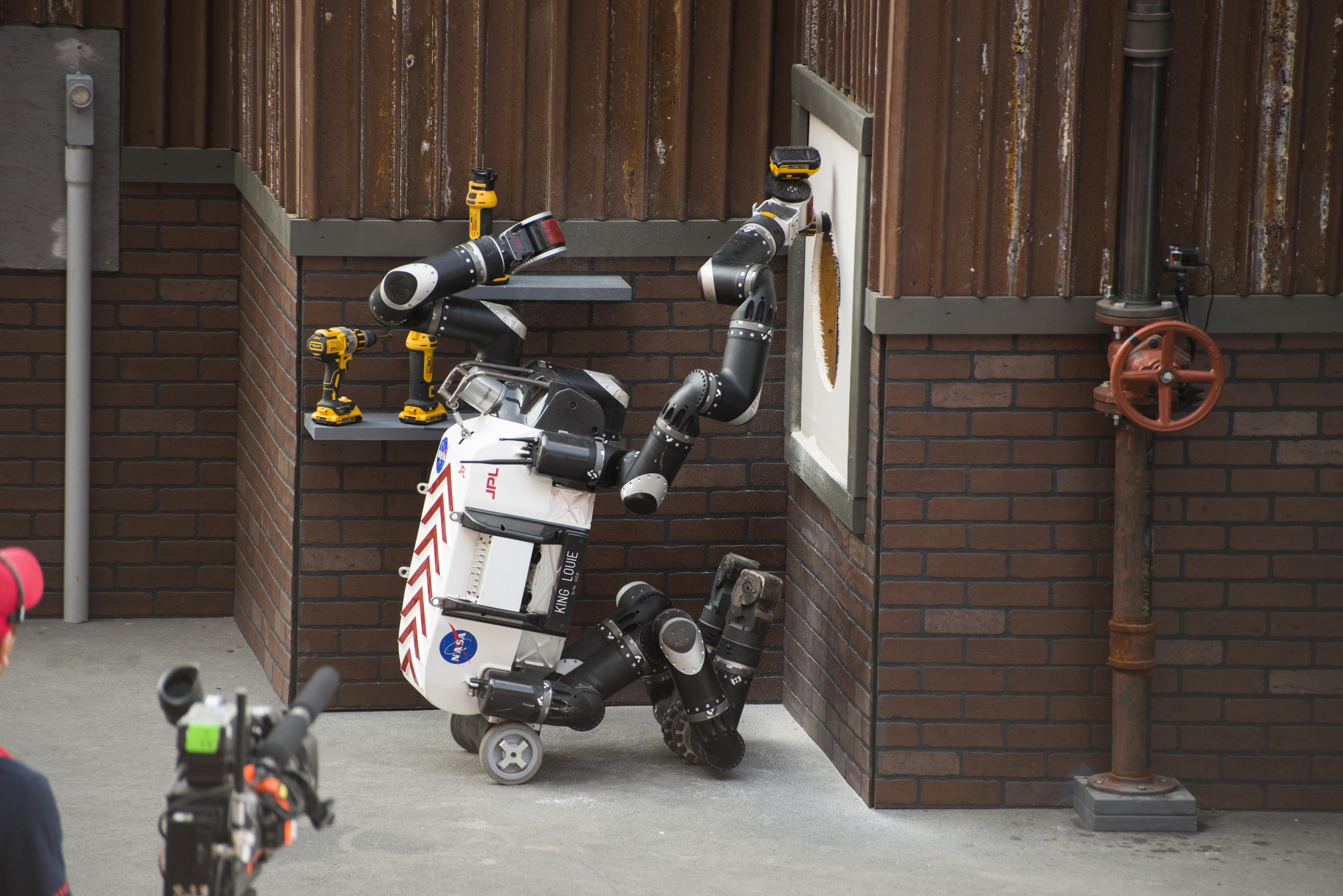
2014-07-16 | Earth |
RoboSimian |
1500x1177x3 | |
|
|||||
|
|
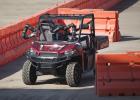
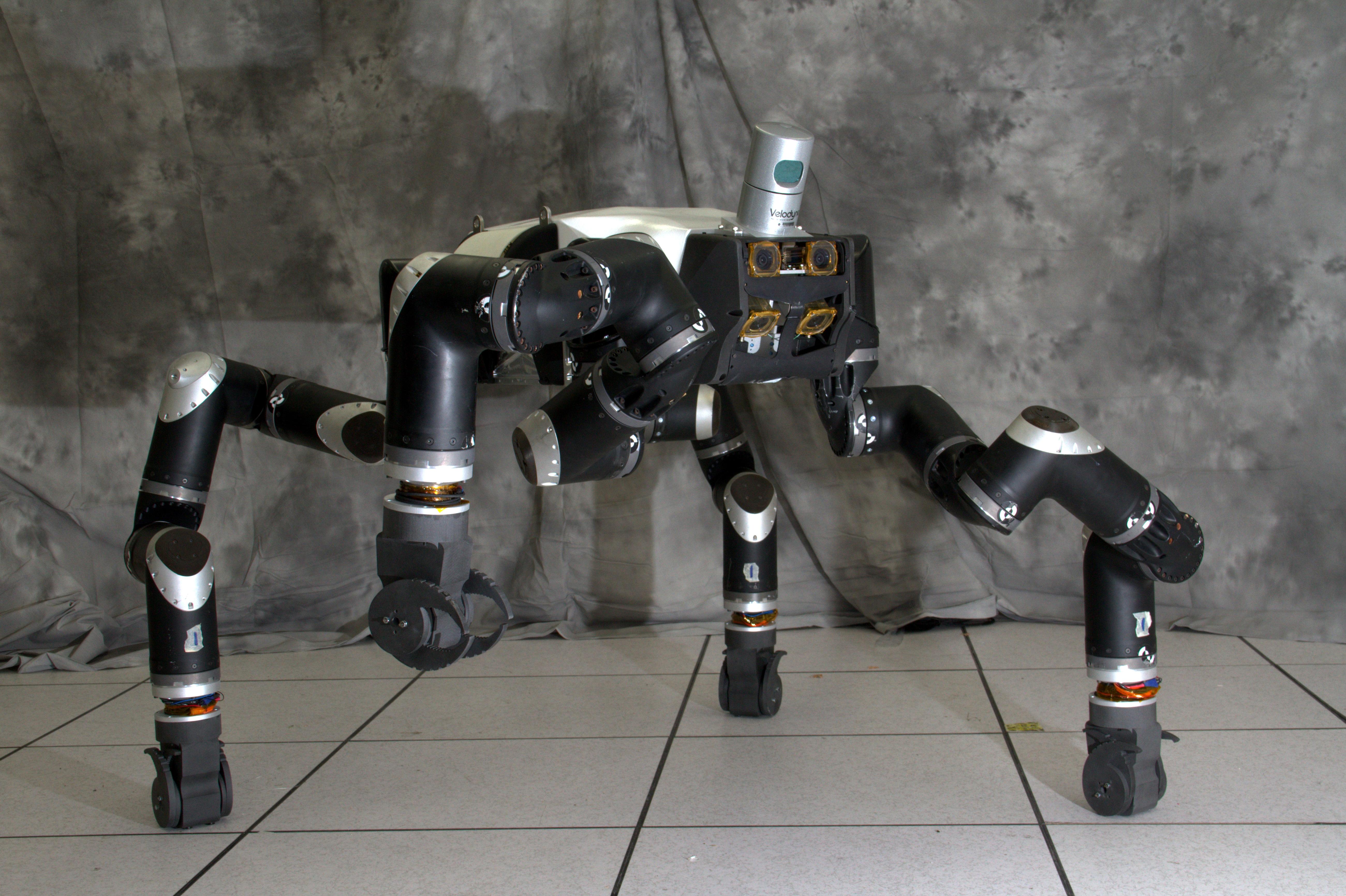
2014-07-16 | Earth |
RoboSimian |
2000x1335x3 | |
|
|||||
|
|
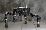
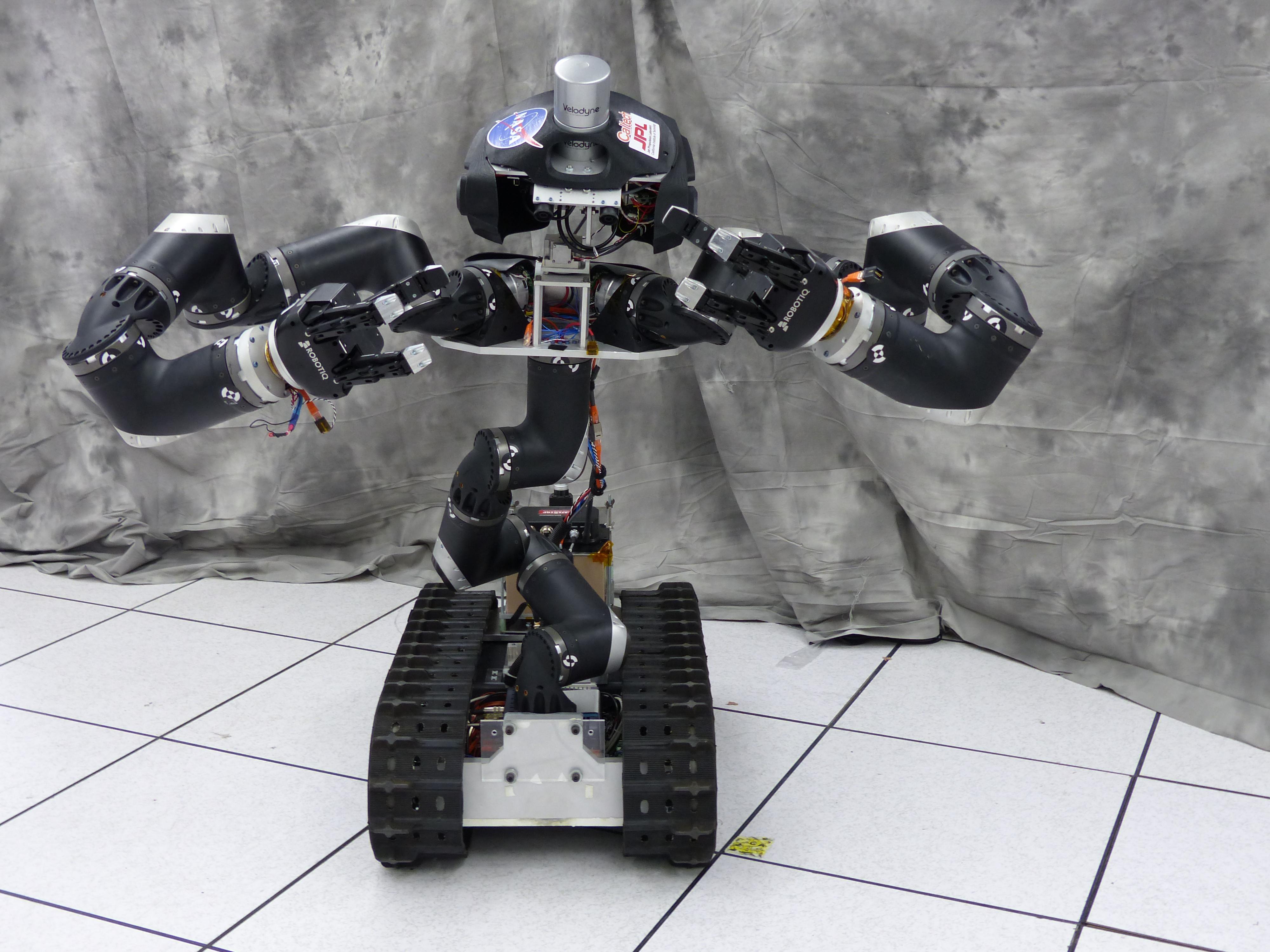
2014-07-16 | Earth |
RoboSimian |
1500x956x3 | |

|
|||||
|
|
2014-07-16 | Earth |
RoboSimian |
1500x1001x3 | |

|
|||||
|
|
2014-07-28 | Earth | 3717x3583x3 | ||
|
|||||
|
|
2014-07-28 | Earth | 752x564x3 | ||

|
|||||
|
|
2014-07-24 | Earth | 3888x2592x3 | ||
|
|||||
|
|
2014-08-21 | Earth | 1537x2148x3 | ||
|
|||||
|
|
2014-10-09 | Mars | 2560x1600x3 | ||
|
|||||
|
|
2014-10-09 | Mars | 1000x1000x3 | ||
|
|||||
|
|
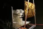
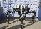
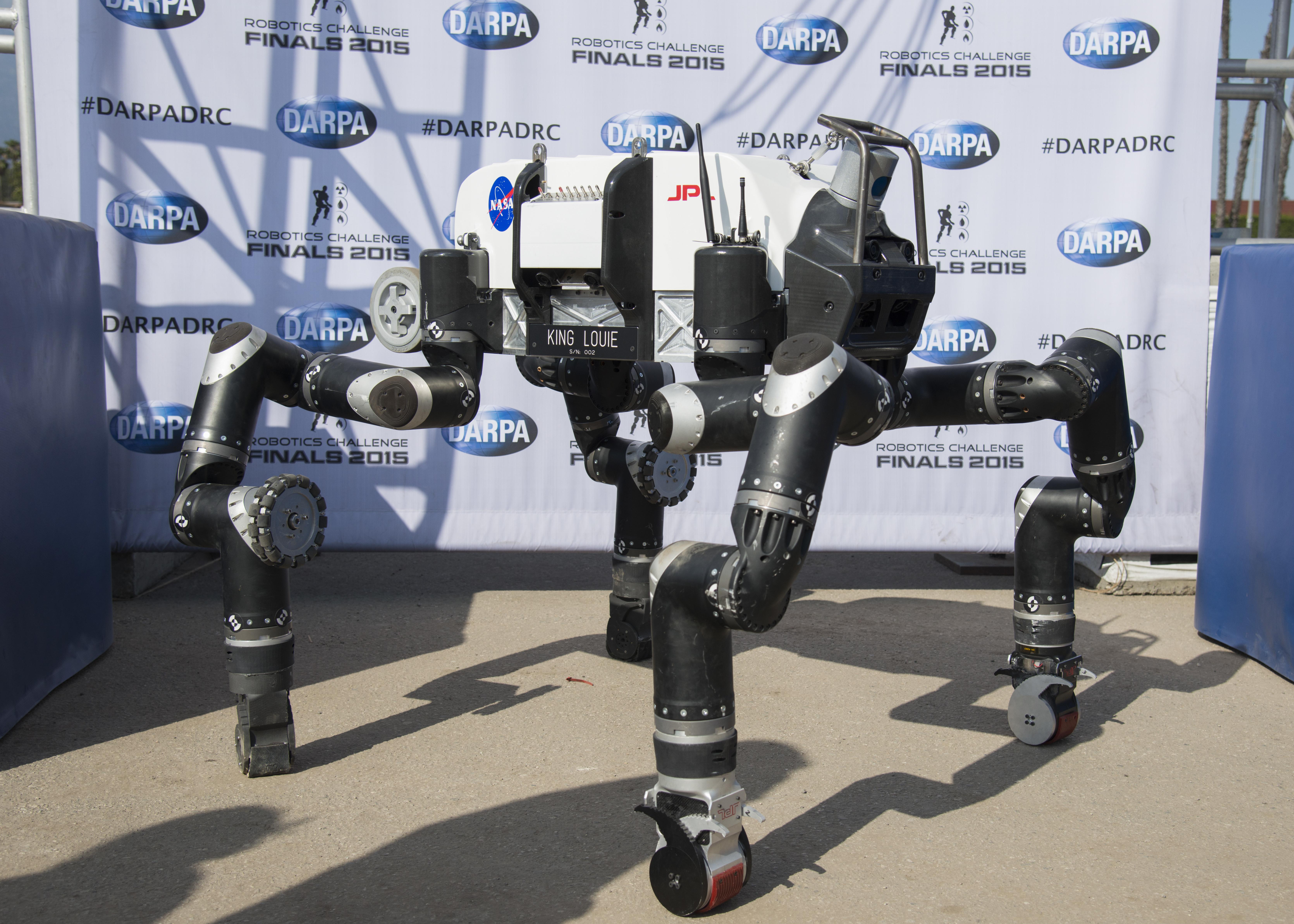
2014-12-09 | Earth |
RoboSimian |
5202x3465x3 | |
|
|||||
|
|
2014-12-09 | Earth |
RoboSimian |
5202x3465x3 | |
|
|||||
|
|
2014-12-09 | Earth |
RoboSimian |
4000x3000x3 | |
|
|||||
|
|
2014-12-09 | Earth |
RoboSimian |
4000x3000x3 | |
|
|||||
|
|
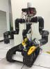
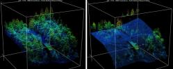
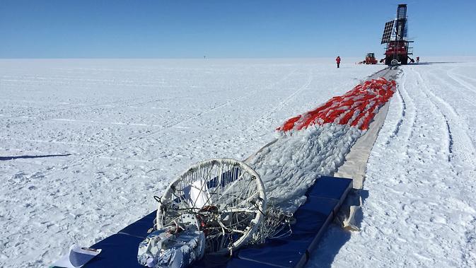
2015-01-22 | Earth |
SPIDER |
673x379x3 | |

|
|||||
|
|
2015-03-11 | Earth |
RoboSimian |
5400x7200x3 | |
|
|||||
|
|
2015-03-11 | Earth |
RoboSimian |
7200x5400x3 | |
|
|||||
|
|
2015-03-11 | Earth |
RoboSimian |
5400x7200x3 | |
|
|||||
|
|
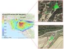
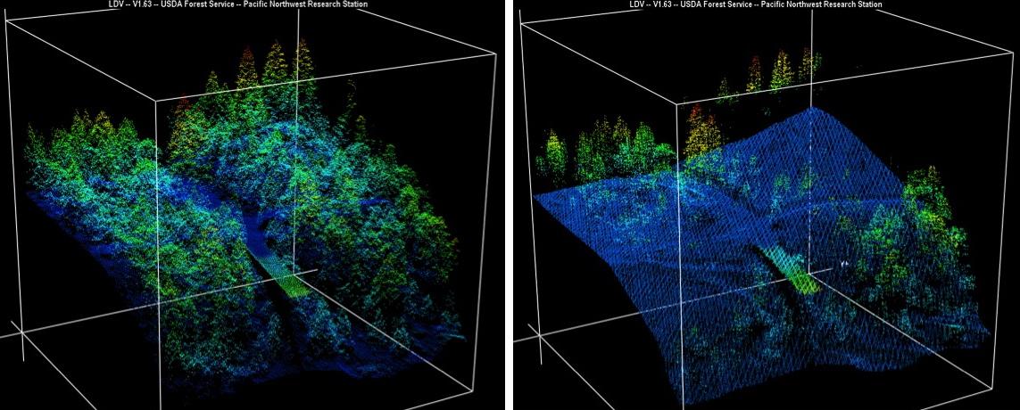
2015-04-09 | Earth |
LIDAR |
1143x460x3 | |
|
|||||
|
|
2015-04-09 | Earth |
AVIRIS |
1404x813x3 | |
|
|||||
|
|
2015-04-14 | Earth | 4500x6000x3 | ||
|
|||||
|
|
2015-04-14 | Earth | 4500x6000x3 | ||
|
|||||
|
|
2015-04-14 | Earth | 4500x6000x3 | ||

|
|||||
|
|
2015-04-14 | Earth | 4500x6000x3 | ||
|
|||||
|
|
2015-04-14 | Earth | 4500x6000x3 | ||

|
|||||
|
|
2015-04-22 | Earth | 1271x671x3 | ||
|
|||||
|
|
2015-04-29 | Earth |
C-SAR Sensor |
2560x1504x3 | |
|
|||||
|
|
2015-05-04 | Mars | 720x412x3 | ||

|
|||||
|
|
2015-05-11 | Earth | 1041x694x3 | ||
|
|||||
|
|
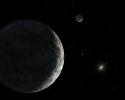
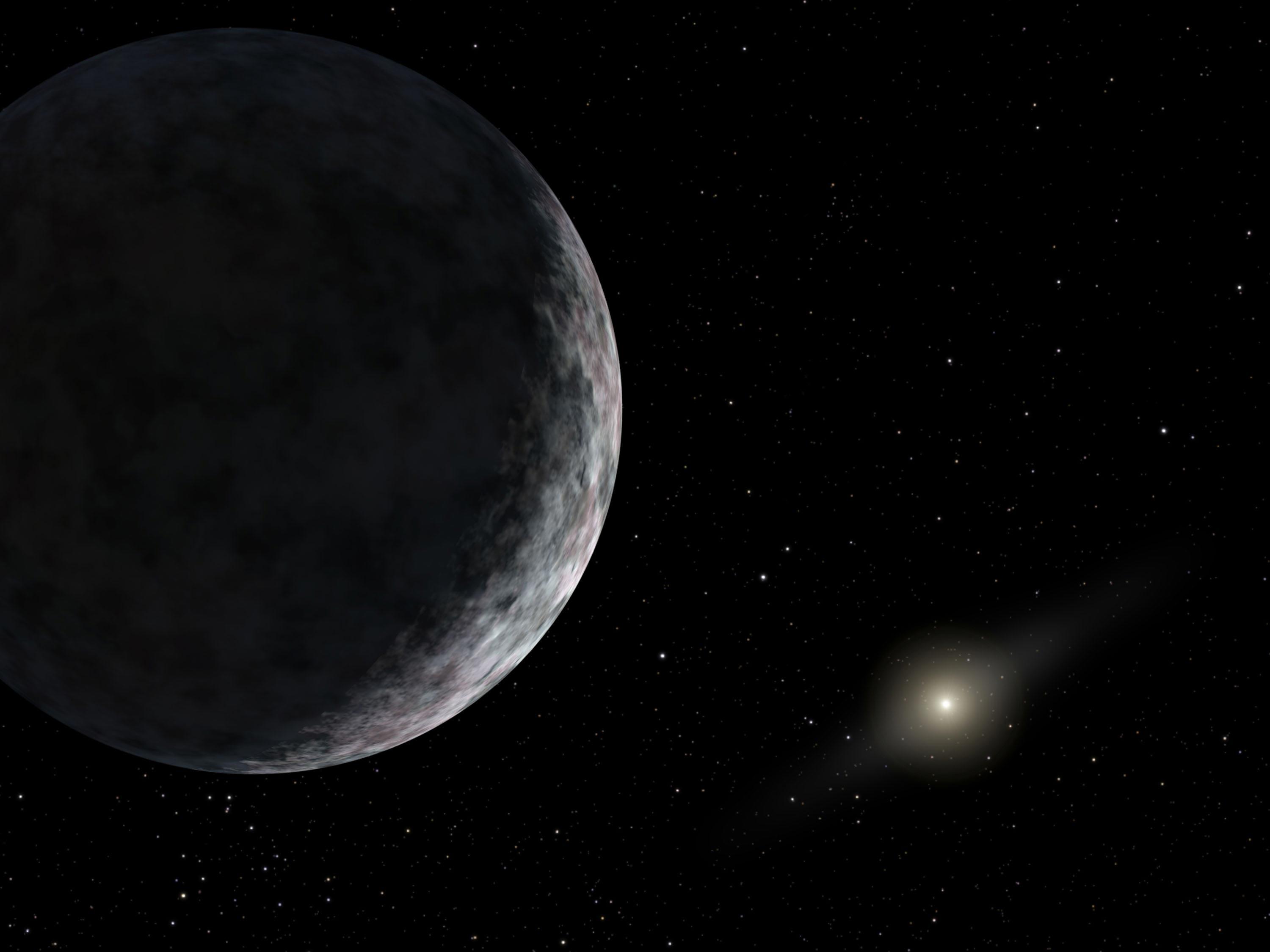
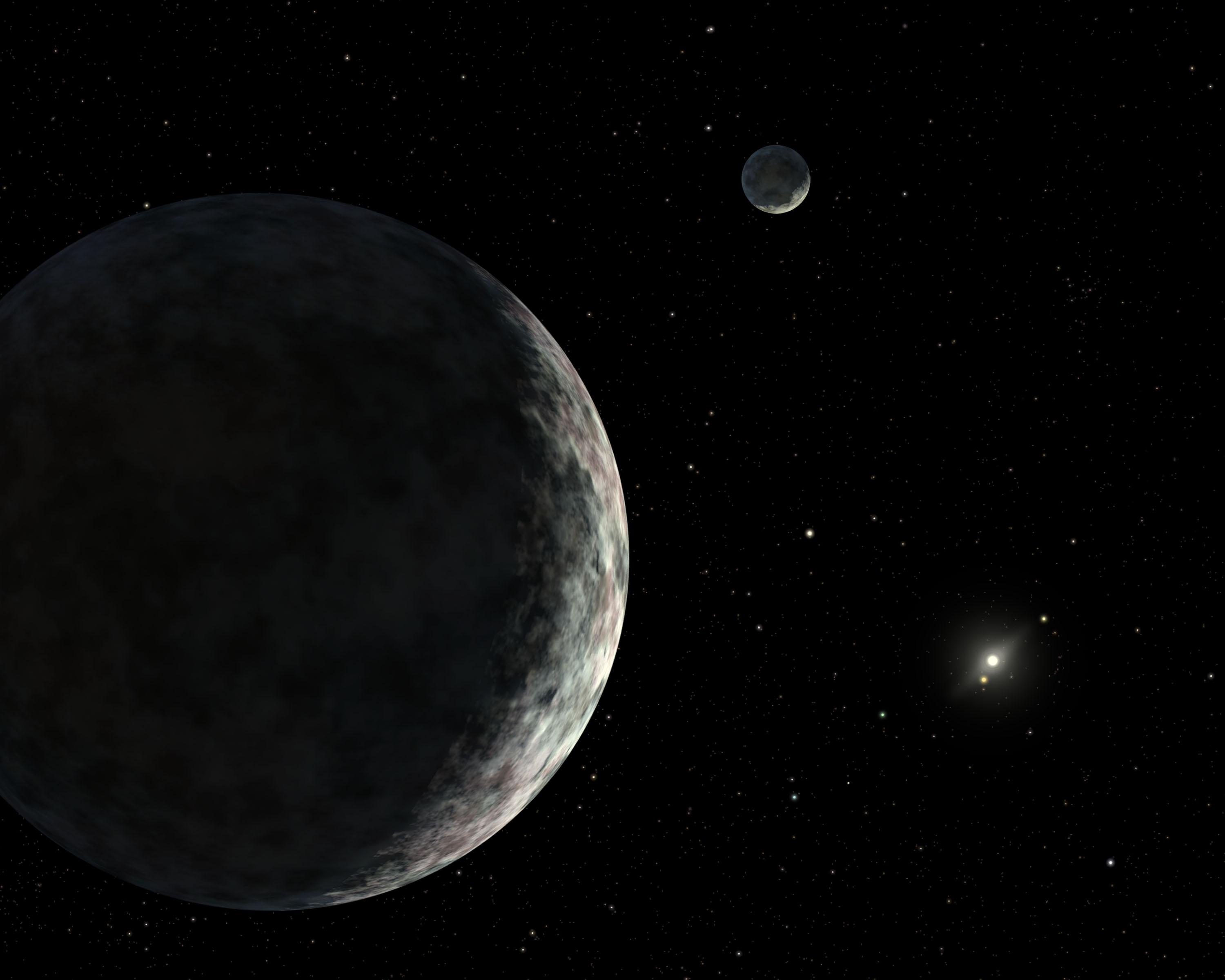
2015-06-08 | Pluto | 900x900x3 | ||
|
|||||
|
|
2015-06-09 | Earth |
RoboSimian |
7360x4912x3 | |
|
|||||
|
|
2015-06-09 | Earth |
RoboSimian |
5476x3911x3 | |
|
|||||
|
|
2015-06-09 | Earth |
RoboSimian |
7360x4912x3 | |
|
|||||
|
|
2015-06-09 | Earth |
RoboSimian |
7360x4912x3 | |

|
|||||
|
|
2015-06-09 | Earth |
RoboSimian |
6681x4772x3 | |
|
|||||
|
|
2015-06-09 | Earth |
RoboSimian |
2771x1979x3 | |
|
|||||
|
|
2015-07-10 | Earth |
California Laboratory for Atmospheric Remote Sensing (CLARS) Hyperspectral Thermal Emission Spectrometer (HyTES) |
828x634x3 | |
|
|||||
|
|
2015-10-30 | Asteroid |
Arecibo Observatory |
1050x149x1 | |
|
|||||
|
|
2015-10-30 | Asteroid |
Arecibo Observatory |
1041x1041x1 | |
|
|||||
|
|
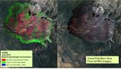
2015-11-23 | Earth | 3090x2506x3 | ||
|
|||||
|
|
2015-11-23 | Earth | 2550x1769x3 | ||
|
|||||
|
|
2015-11-23 | Earth | 3090x2506x3 | ||
|
|||||
|
|
2016-10-05 | Mars | 3082x1899x3 | ||
|
|||||
|
|
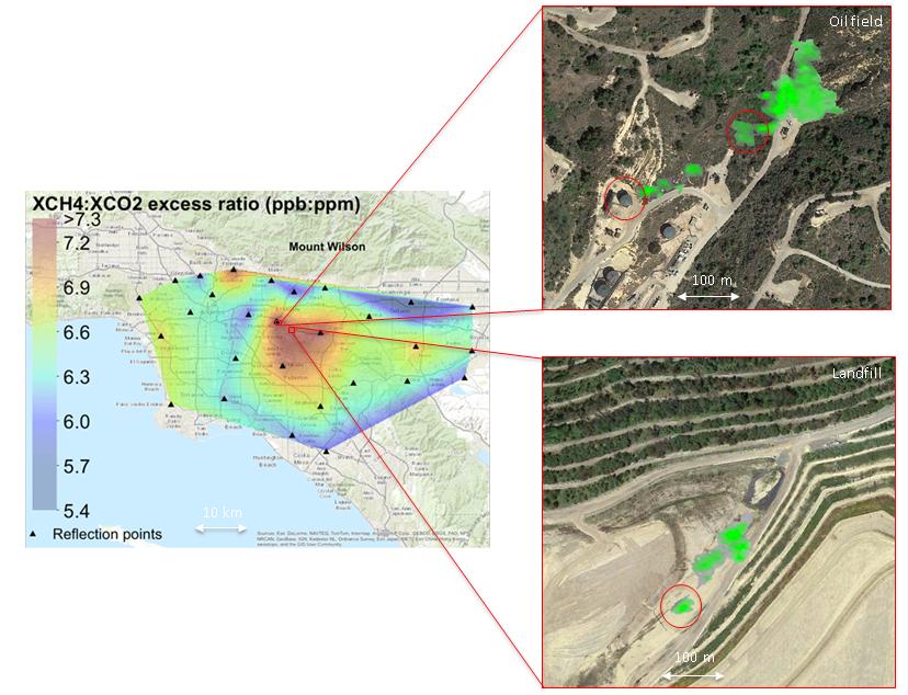
2016-10-07 | Earth |
HAMSR |
3325x2160x3 | |
|
|||||
|
|
2016-10-07 | Earth |
HAMSR |
2888x1455x3 | |
|
|||||
|
|
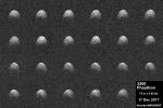
2017-07-25 | Comet | 1992x1000x3 | ||

|
|||||
|
|
2017-12-22 | Asteroid |
Arecibo Observatory |
1440x960x1 | |
|
|||||
|
|
2018-02-15 | Earth | 6176x4063x3 | ||
|
|||||
|
|
2018-02-21 | Earth | 3778x2234x3 | ||
|
|||||
|
|
2018-03-15 | Earth | 1080x810x3 | ||
|
|||||
|
|
2018-06-01 | Earth |
AVIRIS-NG |
4500x1476x3 | |
|
|||||
|
|
2018-06-01 | Earth |
AVIRIS-NG |
4500x1476x3 | |

|
|||||
|
|
2018-07-12 | Asteroid | 1400x787x3 | ||

|
|||||
|
|
2018-07-12 | Asteroid |
Goldstone Solar System Radar |
436x214x1 | |
|
|||||
|
|
2018-07-12 | Asteroid | 1076x960x1 | ||
|
|||||
|
|
2018-07-12 | Asteroid |
Arecibo Observatory |
500x250x1 | |
|
|||||
|
|
2018-07-12 | Asteroid | 1041x586x3 | ||
|
|||||
|
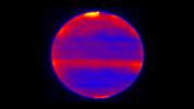
|
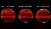
2018-12-12 | Jupiter | 800x800x3 | ||
|
|||||
|
|
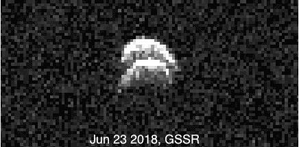
2018-12-21 | Asteroid |
Arecibo Radar Data |
600x270x1 | |

|
|||||
|
|
2018-12-21 | Asteroid |
Deep Space Network |
1813x589x1 | |
|
|||||
|
|
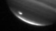
2019-04-08 | Jupiter |
Subaru Telescope |
1200x675x3 | |
|
|||||
|
|
2019-04-08 | Jupiter |
Subaru Telescope |
1200x675x3 | |
|
|||||
|
|
2019-04-29 | Asteroid | 1220x700x3 | ||
|
|||||
|
|
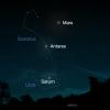
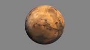
2019-07-22 | Mars | 1400x788x3 | ||
|
|||||
 |
 |
|
|
|
|
|
|
|
|

|
|
| 1-100 | 101-200 | 201-300 | 301-400 | 401-500 | 501-600 | 601-700 | 701-800 | 801-900 | 901-1000 |
| Currently displaying images: 1 - 100 of 19634 |