|
Your search criteria found 2605 images Target is Earth (and available satellites) |
| My List |
Addition Date | Target | Mission | Instrument |
Size
|

|
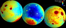
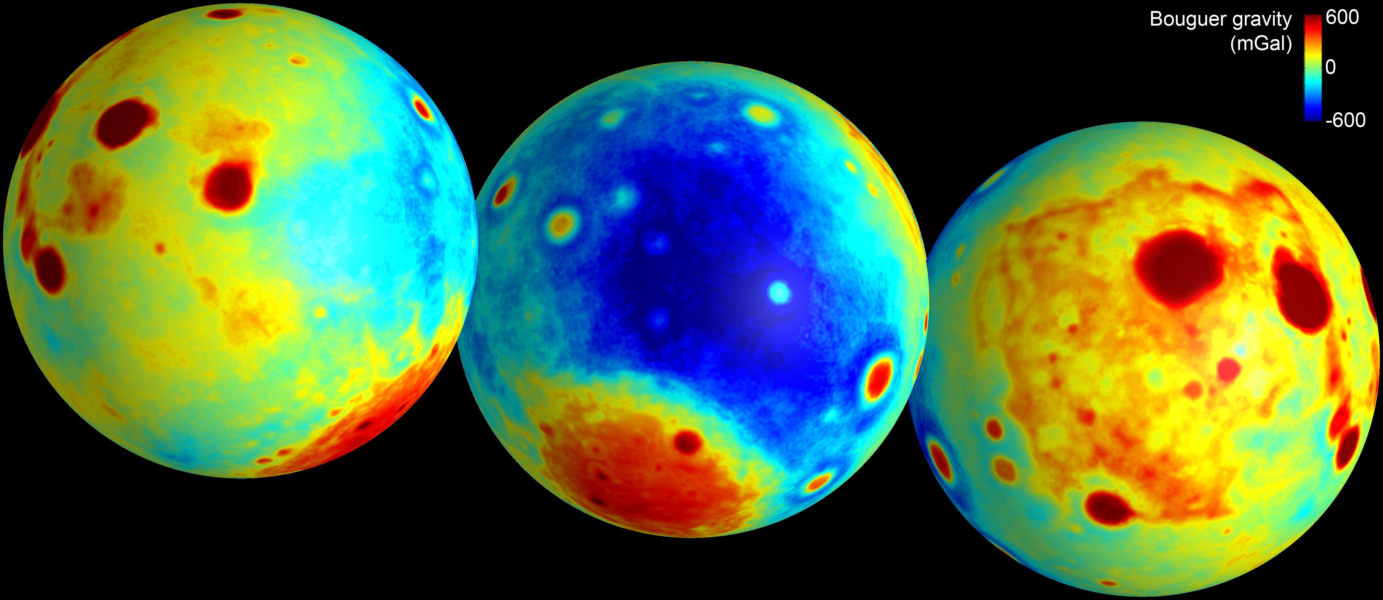
2012-12-05 | Moon |
GRAIL |
4532x1967x3 | |
|
|||||
|
|
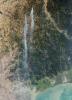
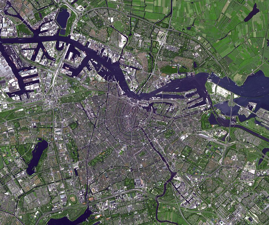
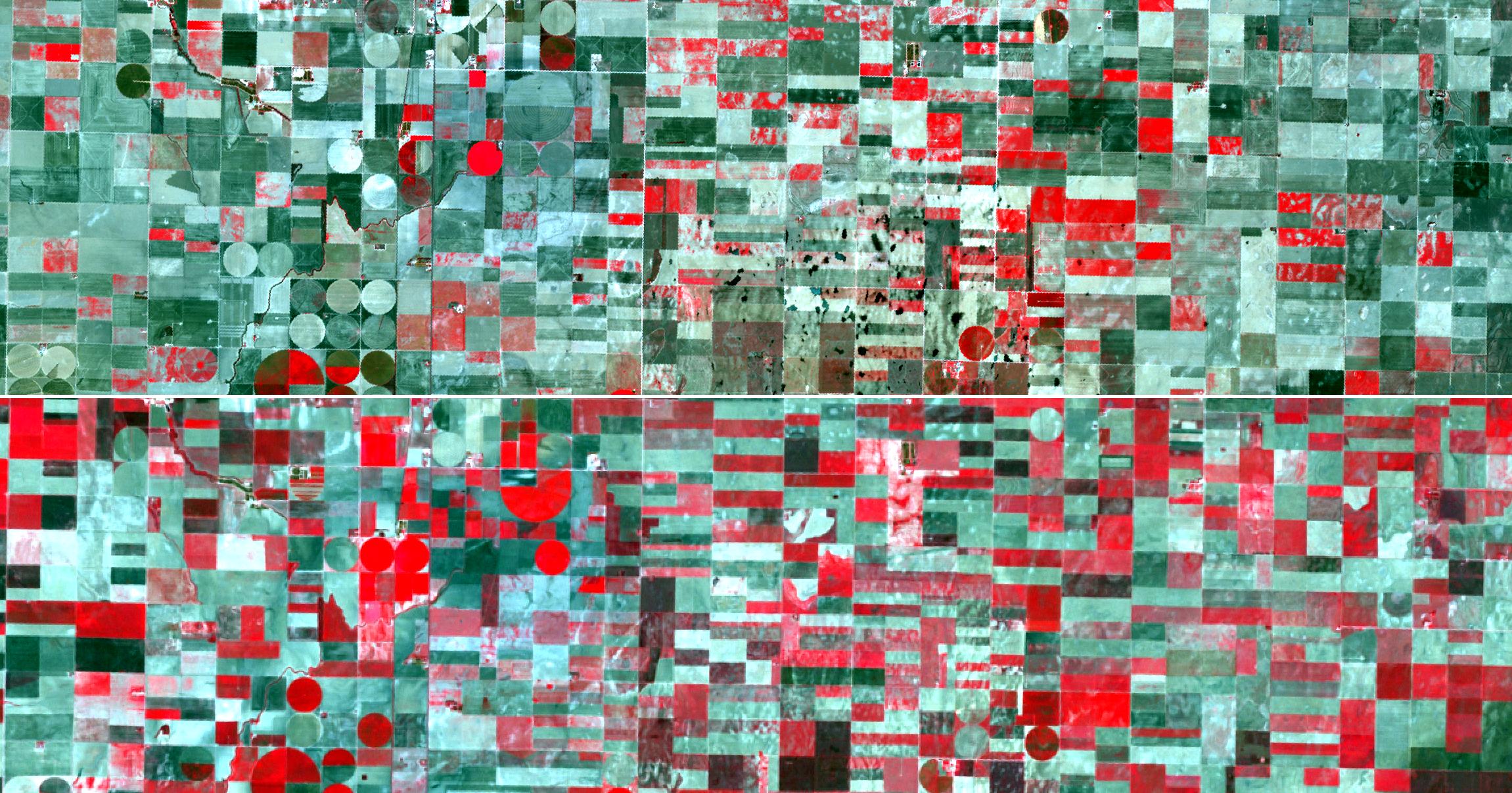
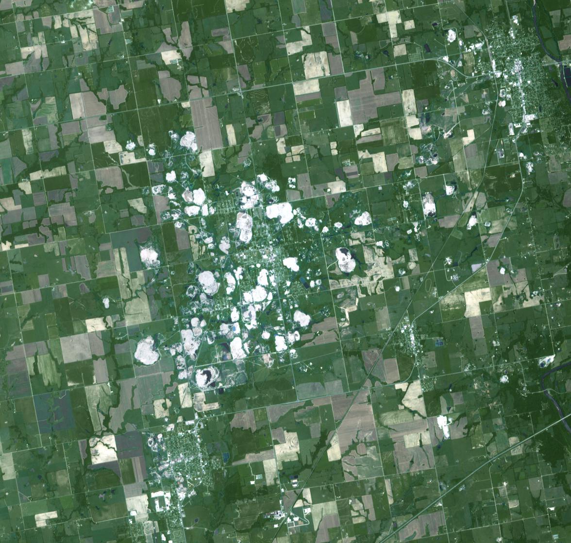
2012-12-03 | Earth |
Terra |
ASTER |
2343x1862x3 |
|
|||||
|
|
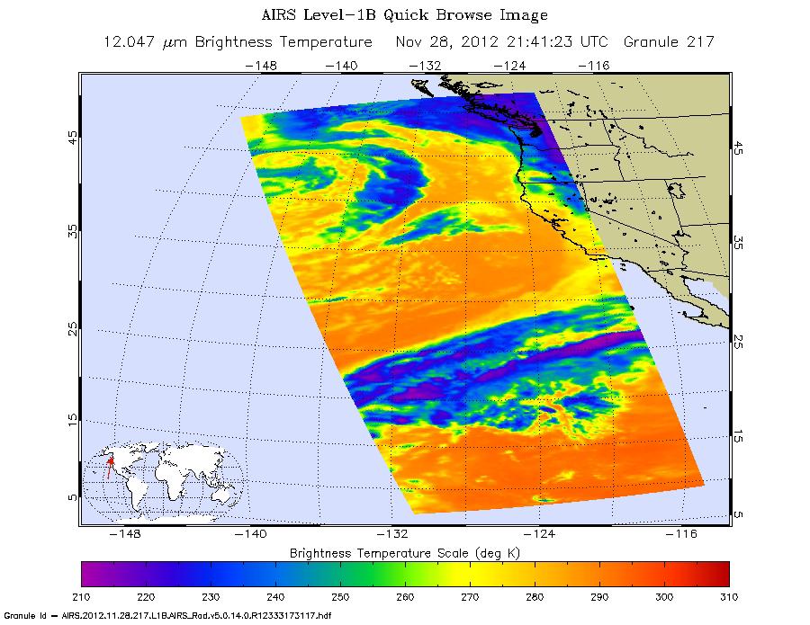
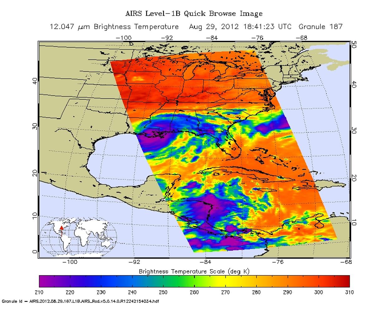
2012-11-29 | Earth |
Aqua |
AIRS |
900x695x3 |
|
|||||
|
|
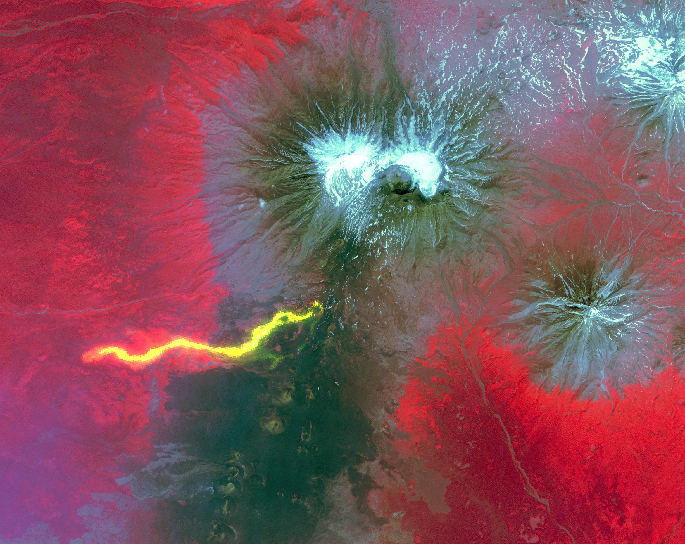
2012-11-26 | Earth |
Terra |
ASTER |
925x775x3 |

|
|||||
|
|
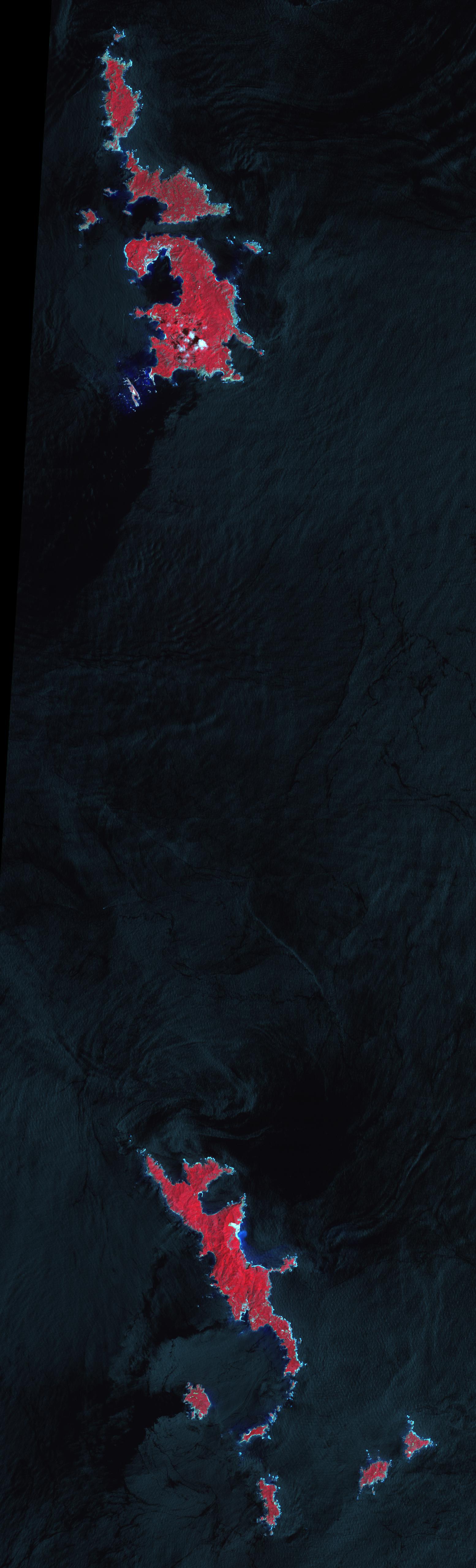
2012-11-12 | Earth |
Terra |
ASTER |
1554x5122x3 |
|
|
|||||
|
|
2012-10-30 | Earth |
OSCAT |
OSCAT Scatterometer |
447x337x3 |
|
|||||
|
|
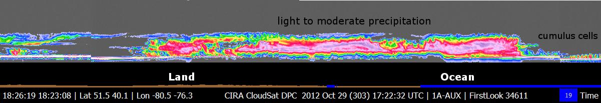
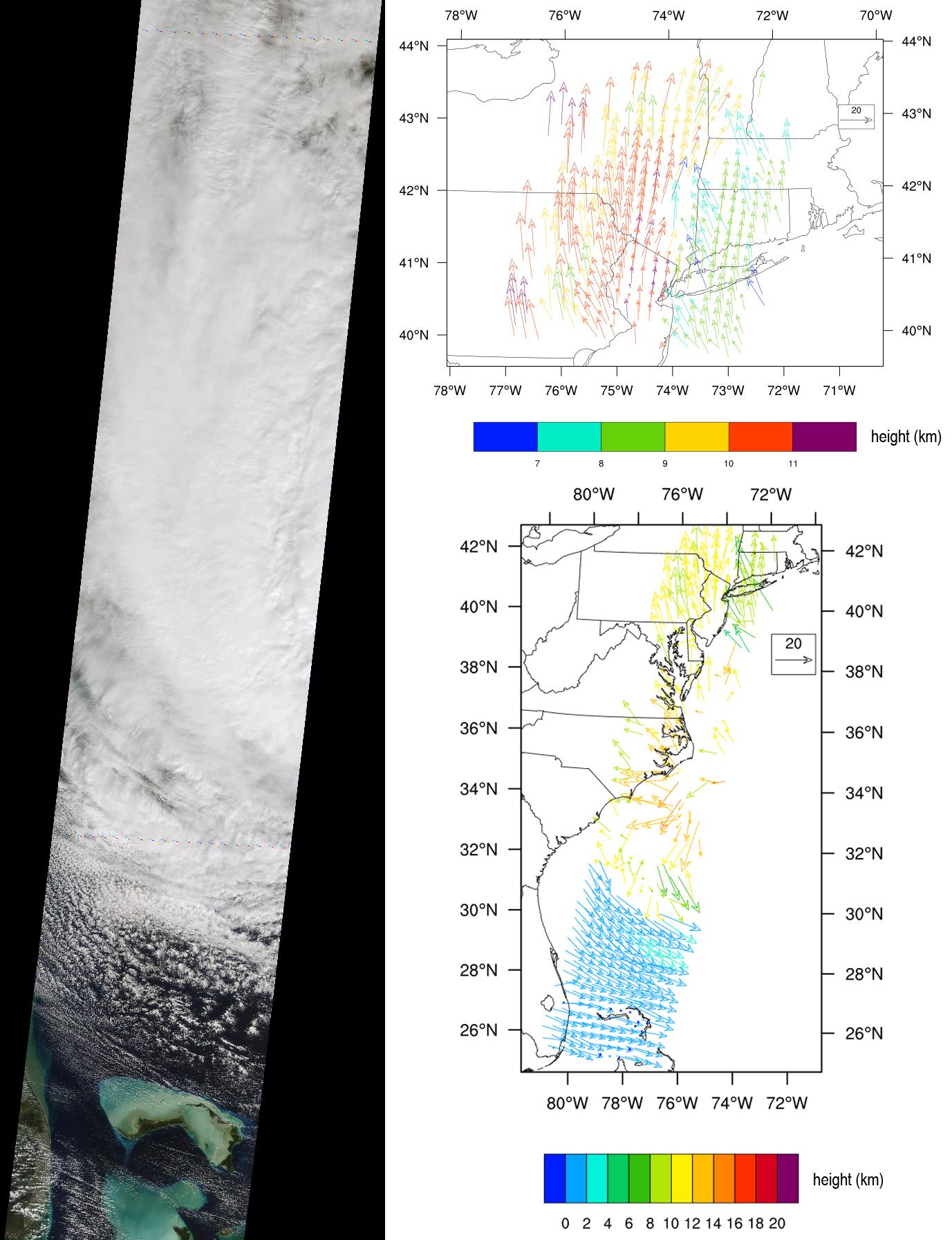
2012-10-30 | Earth |
CloudSat |
Cloud Profiling Radar (CPR) |
1201x206x3 |
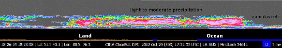
|
|||||
|
|
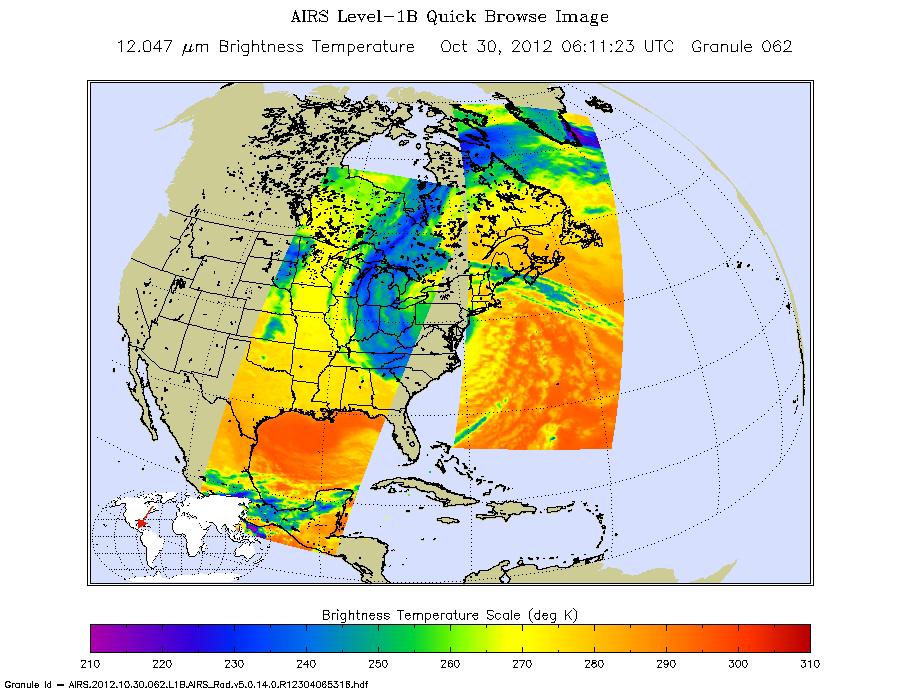
2012-10-30 | Earth |
Aqua |
AIRS |
900x695x3 |
|
|||||
|
|
2012-10-29 | Earth |
Terra |
MISR |
1377x1792x3 |
|
|||||
|
|
2012-10-29 | Earth |
CloudSat |
Cloud Profiling Radar (CPR) |
1196x206x3 |
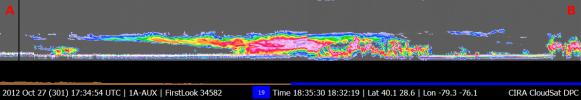
|
|||||
|
|
2012-10-22 | Earth |
Terra |
ASTER |
800x600x3 |
|
|||||
|
|
2012-10-17 | Earth |
Jason-1 (Topex/Poseidon) OSTM/Jason-2 |
Altimeter |
1384x858x3 |
|
|||||
|
|
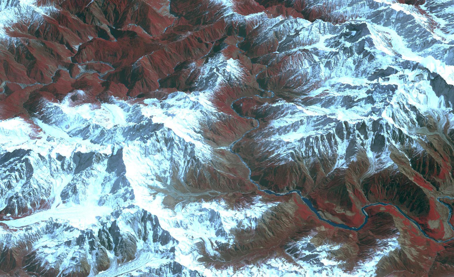
2012-10-05 | Earth |
Terra |
ASTER |
3015x2742x3 |
|
|||||
|
|
2012-10-01 | Earth |
Terra |
ASTER InSAR |
1024x575x3 |
|
|||||
|
|
2012-09-28 | Earth |
Terra |
ASTER |
988x1146x3 |
|
|||||
|
|
2012-09-28 | Earth |
Terra |
ASTER |
1447x879x3 |
|
|||||
|
|
2012-09-28 | Earth |
Terra |
ASTER |
1124x1282x3 |

|
|||||
|
|
2012-09-27 | Earth | 965x720x3 | ||

|
|||||
|
|
2012-09-21 | Earth |
Terra |
ASTER |
2512x3452x3 |
|
|||||
|
|
2012-09-13 | Earth |
ADAPT |
3456x5184x3 | |
|
|||||
|
|
2012-09-06 | Earth |
Terra |
ASTER |
2301x1207x3 |
|
|||||
|
|
2012-08-30 | Earth |
Aqua |
AIRS |
1200x1012x3 |
|
|||||
|
|
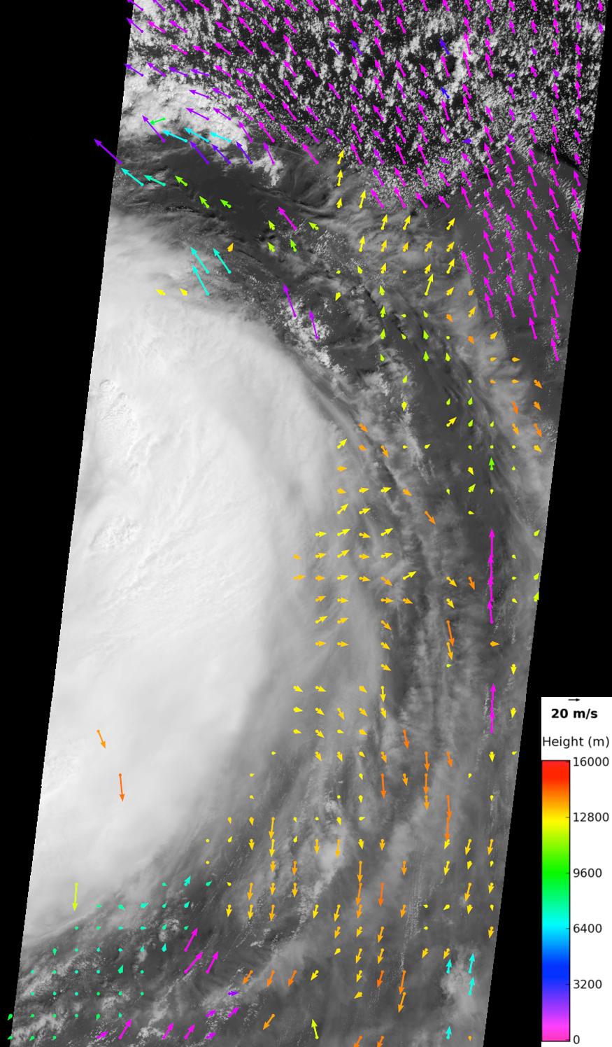
2012-08-29 | Earth |
Terra |
MISR |
875x1496x3 |
|
|||||
|
|
2012-08-27 | Earth |
Mars Science Laboratory (MSL) |
2896x1944x3 | |
|
|||||
|
|
2012-08-25 | Earth |
Terra |
ASTER |
2620x1850x3 |

|
|||||
|
|
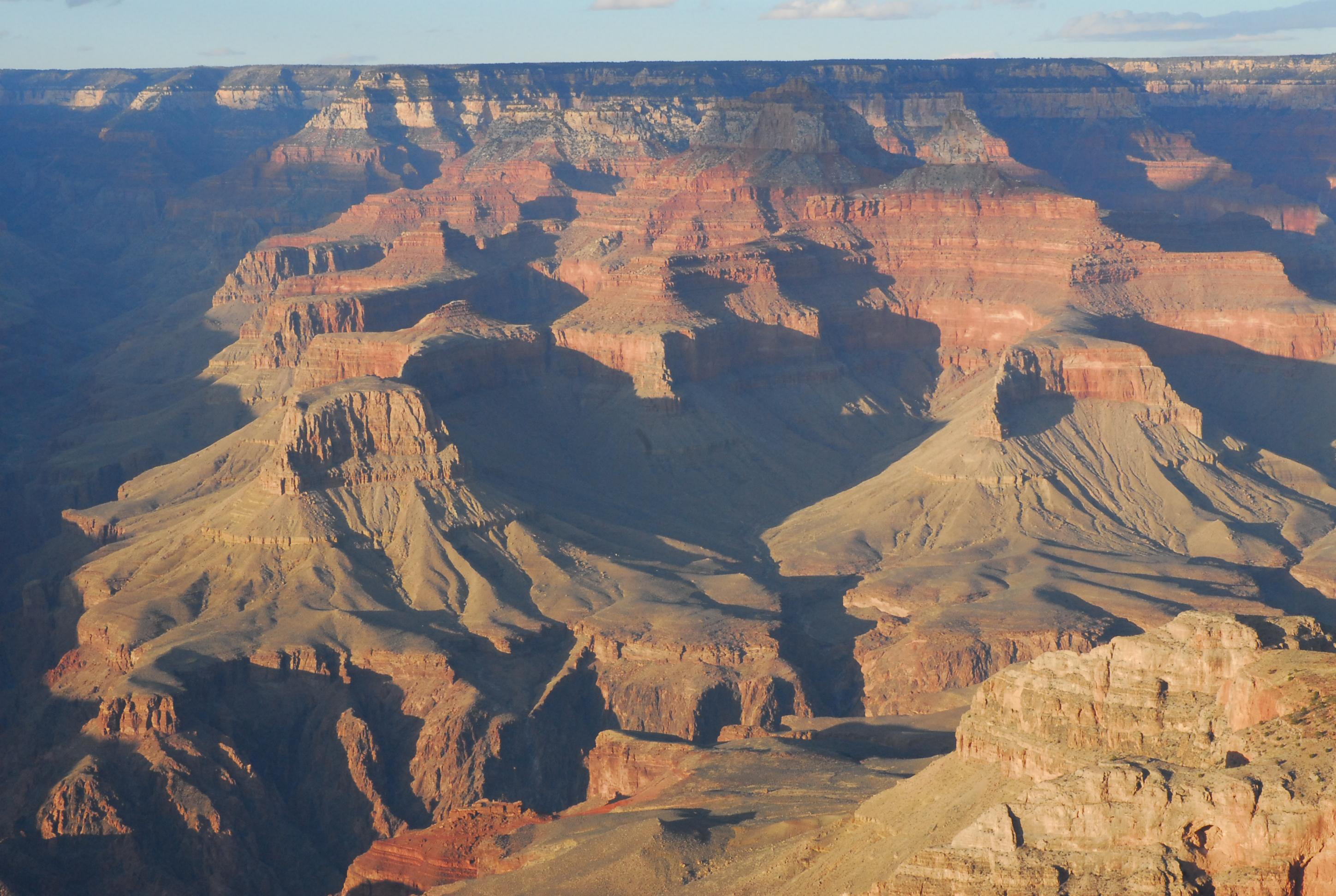
2012-08-20 | Earth |
Terra |
ASTER |
1588x1206x3 |
|
|||||
|
|
2012-08-15 | Earth |
UAVSAR |
L-Band UAVSAR |
732x652x3 |
|
|||||
|
|
2012-08-02 | Earth |
Terra |
ASTER |
1086x1002x3 |
|
|||||
|
|
2012-07-09 | Earth |
Terra |
ASTER |
2201x3900x3 |
|
|||||
|
|
2012-07-09 | Earth |
Terra |
ASTER |
1536x1507x3 |

|
|||||
|
|
2012-07-06 | Earth |
Terra |
ASTER |
1200x1000x3 |
|
|||||
|
|
2012-07-03 | Earth |
Terra |
MISR |
948x962x3 |
|
|||||
|
|
2012-06-29 | Earth |
Aqua |
AIRS MODIS |
1920x1070x3 |

|
|||||
|
|
2012-06-25 | Earth |
Terra |
ASTER |
2949x3723x3 |
|
|||||
|
|
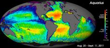
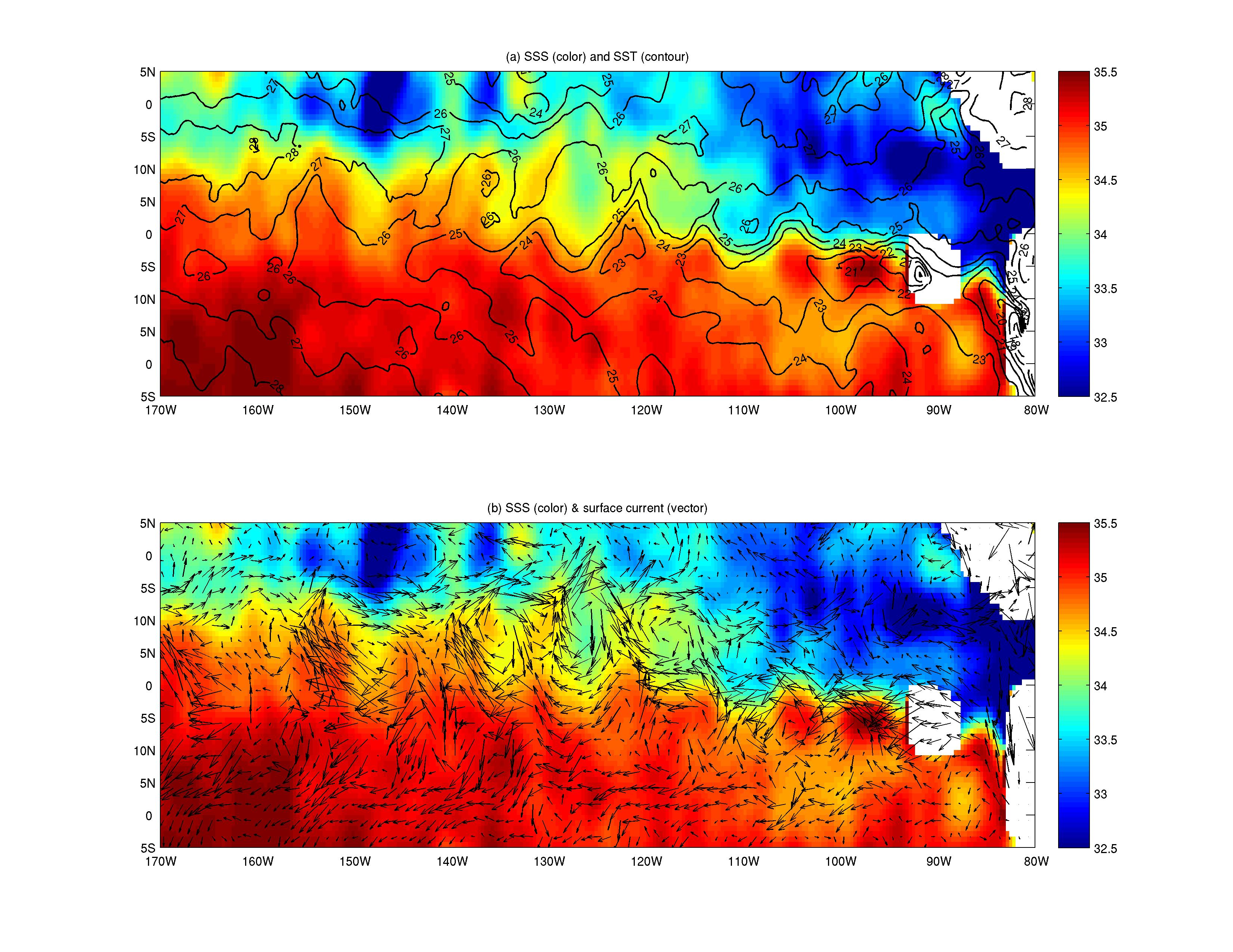
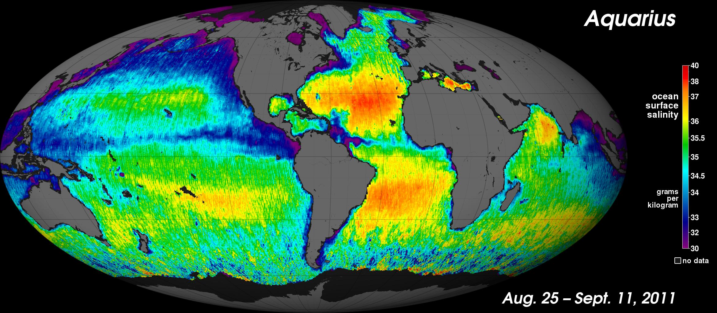
2012-06-12 | Earth |
Aquarius |
Aquarius |
3300x2550x3 |
|
|||||
|
|
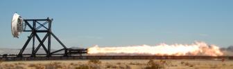
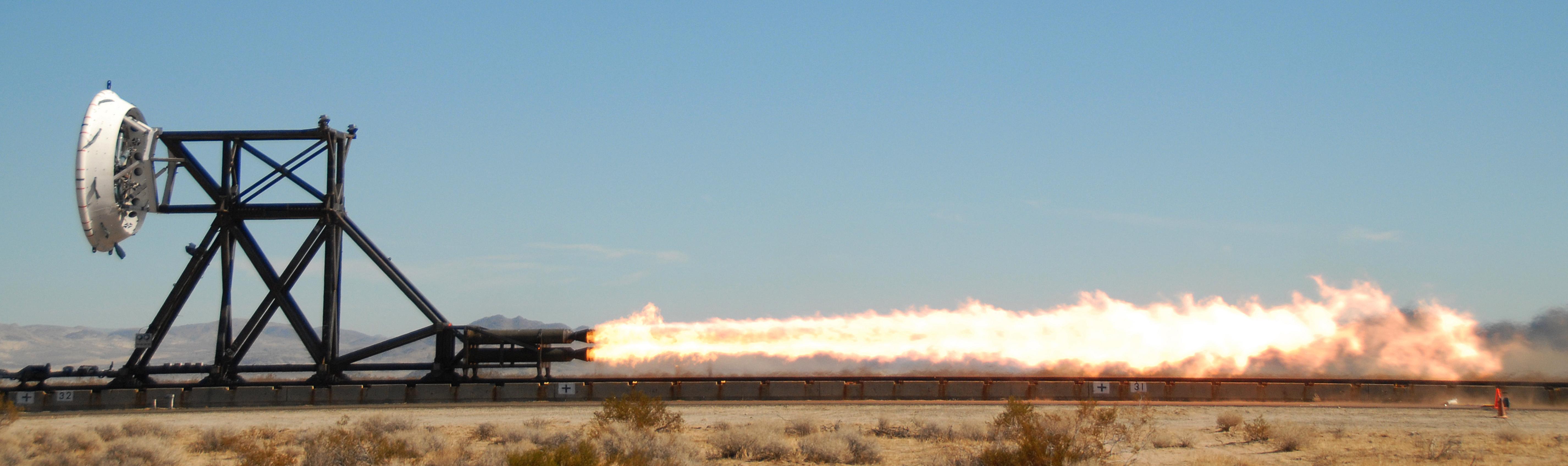
2012-06-08 | Earth |
LDSD |
5704x1697x3 | |
|
|||||
|
|
2012-06-07 | Earth |
Terra |
ASTER |
678x1334x3 |

|
|||||
|
|
2012-05-30 | Earth |
Terra |
ASTER |
1176x1118x3 |
|
|||||
|
|
2012-05-24 | Earth |
Terra |
ASTER |
1576x960x3 |
|
|||||
|
|
2012-05-15 | Earth |
Terra |
ASTER |
1878x1437x3 |
|
|||||
|
|
2012-05-15 | Earth |
Terra |
ASTER |
1441x1281x3 |

|
|||||
|
|
2012-04-30 | Earth |
Terra |
ASTER |
4000x2400x3 |
|
|||||
|
|
2012-04-27 | Earth |
Terra |
ASTER |
351x827x3 |
|
|
|||||
|
|
2012-04-24 | Earth |
Terra |
ASTER |
5800x2000x3 |
|
|||||
|
|
2012-04-13 | Earth |
Terra |
ASTER |
3144x2880x3 |
|
|||||
|
|
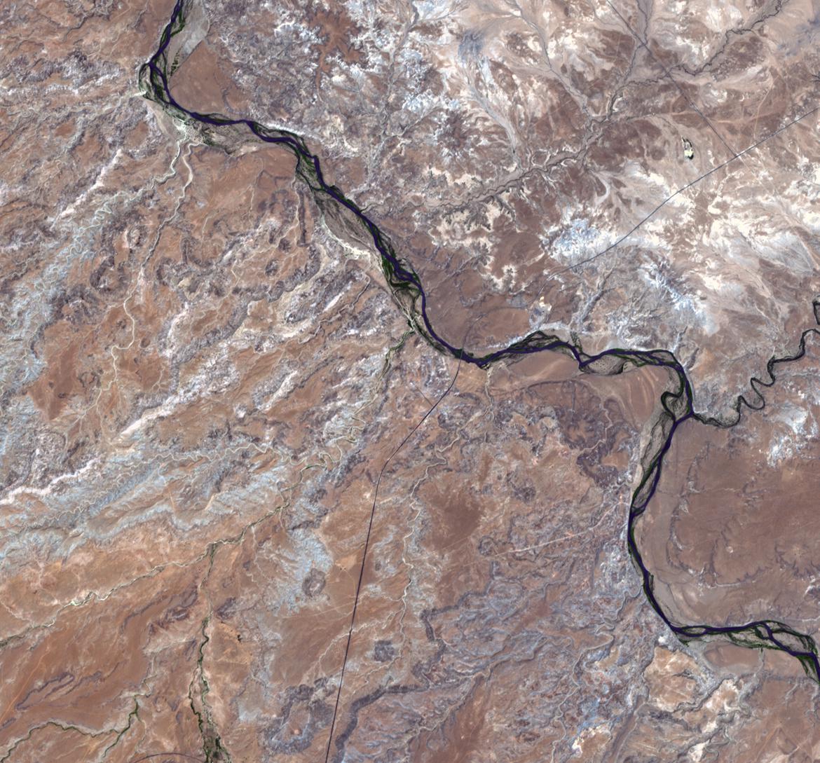
2012-04-11 | Earth |
Terra |
ASTER |
1306x1066x3 |

|
|||||
|
|
2012-04-10 | Earth |
Terra |
ASTER |
1340x1156x3 |

|
|||||
|
|
2012-04-03 | Earth |
Terra |
ASTER |
2013x1573x3 |
|
|||||
|
|
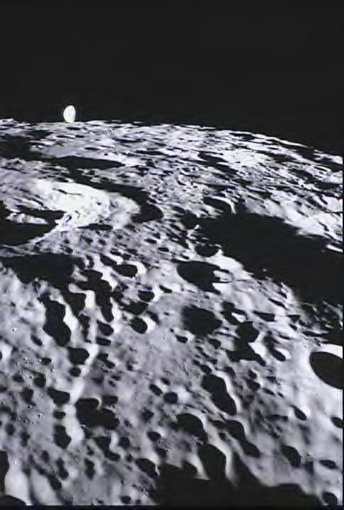
2012-03-22 | Moon |
GRAIL |
MoonKAM |
485x714x3 |
|
|||||
|
|
2012-03-22 | Moon |
GRAIL |
MoonKAM |
486x720x3 |
|
|||||
|
|
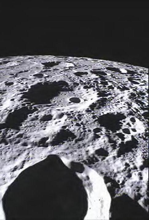
2012-03-19 | Moon |
Lunar Reconnaissance Orbiter (LRO) |
Lunar Reconnaissance Orbiter Camera (WAC) |
1100x1100x3 |
|
|||||
|
|
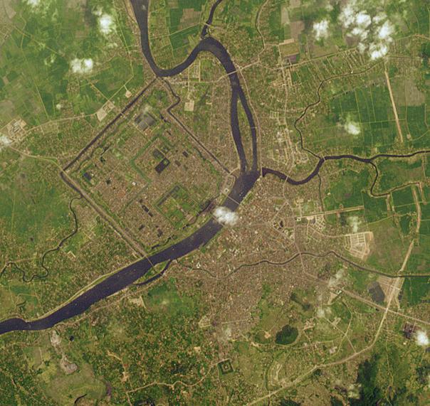
2012-03-16 | Earth |
Terra |
ASTER |
3873x3930x3 |
|
|||||
|
|
2012-03-09 | Earth |
Terra |
ASTER |
4038x2362x3 |

|
|||||
|
|
2012-03-01 | Earth |
GOME-2 |
1403x762x3 | |
|
|||||
|
|
2012-03-01 | Earth |
GOME-2 |
1403x763x3 | |
|
|||||
|
|
2012-02-22 | Earth |
Terra |
MISR |
1110x1437x3 |
|
|||||
|
|
2012-02-16 | Earth | 1201x900x3 | ||
|
|||||
|
|
2012-02-08 | Earth |
Terra |
MISR |
1362x1190x3 |
|
|||||
|
|
2012-02-08 | Earth |
Terra |
ASTER |
1664x1102x3 |
|
|||||
|
|
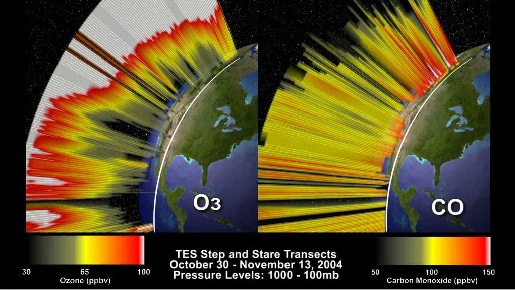
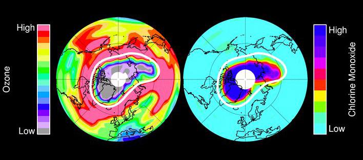
2012-02-06 | Earth |
Aura |
TES |
1021x575x3 |
|
|||||
|
|
2012-02-06 | Earth |
Aura |
TES |
1115x560x3 |
|
|||||
|
|
2012-02-06 | Earth | 1023x578x3 | ||
|
|||||
|
|
2012-02-06 | Earth |
Shuttle Radar Topography Mission (SRTM) |
1024x576x3 | |
|
|||||
|
|
2012-02-06 | Earth | 1023x574x3 | ||
|
|||||
|
|
2012-02-06 | Earth |
European Remote Sensing Satellite Mission (ERS) |
Synthetic Aperture Radar (SAR) |
1023x576x3 |
|
|||||
|
|
2012-02-06 | Earth |
European Remote Sensing Satellite Mission (ERS) |
Synthetic Aperture Radar (SAR) |
1024x576x3 |
|
|||||
|
|
2012-02-06 | Earth |
Terra |
ASTER |
1023x575x3 |
|
|||||
|
|
2012-02-02 | Earth |
GRACE |
K-Band Ranging System |
1058x720x3 |
|
|||||
|
|
2012-01-30 | Earth |
Suomi NPP |
VIIRS |
8000x8000x3 |
|
|||||
|
|
2012-01-23 | Earth |
Terra |
ASTER |
918x791x3 |
|
|||||
|
|
2012-01-20 | Earth |
Terra |
ASTER |
746x620x3 |
|
|||||
|
|
2012-01-10 | Earth |
Terra |
ASTER |
1962x3309x3 |

|
|||||
|
|
2011-12-14 | Earth |
Terra |
ASTER |
1281x1218x3 |
|
|||||
|
|
2011-12-07 | Earth |
Aquarius |
Aquarius |
980x1558x3 |
|
|||||
|
|
2011-11-30 | Earth |
Terra |
ASTER |
3801x2382x3 |
|
|||||
|
|
2011-11-18 | Earth |
Terra |
ASTER |
3726x5932x3 |
|
|||||
|
|
2011-11-15 | Earth |
Terra |
ASTER |
2952x3479x3 |
|
|||||
|
|
2011-11-14 | Earth |
Terra |
ASTER |
1243x1121x3 |
|
|||||
|
|
2011-11-10 | Earth |
Terra |
ASTER |
4032x7962x3 |
|
|||||
|
|
2011-11-02 | Earth |
Terra |
MISR |
864x812x3 |
|
|||||
|
|
2011-11-02 | Earth |
Terra |
ASTER |
2461x2376x3 |
|
|||||
|
|
2011-11-02 | Earth |
Terra |
ASTER |
3024x3800x3 |
|
|||||
|
|
2011-11-01 | Earth |
Terra |
ASTER |
3900x3308x3 |
|
|||||
|
|
2011-10-29 | Earth |
Terra |
MISR |
1611x2361x3 |
|
|||||
|
|
2011-10-28 | Earth |
Terra |
ASTER |
2589x3870x3 |

|
|||||
|
|
2011-10-25 | Earth |
Terra |
ASTER |
1482x1298x3 |
|
|||||
|
|
2011-10-25 | Earth |
Terra |
ASTER |
3780x7128x3 |
|
|||||
|
|
2011-10-17 | Earth |
Terra |
ASTER |
1280x720x3 |
|
|||||
|
|
2011-10-14 | Earth |
Terra |
ASTER |
1434x1082x3 |
|
|||||
|
|
2011-10-14 | Earth |
Terra |
ASTER |
1460x1452x3 |
|
|||||
|
|
2011-10-13 | Earth |
Terra |
ASTER |
1458x1049x3 |
|
|||||
|
|
2011-10-12 | Earth |
Terra |
ASTER |
4531x6005x3 |
|
|||||
|
|
2011-10-02 | Earth |
Aura |
MLS |
708x312x3 |
|
|||||
|
|
2011-09-27 | Earth |
Terra |
ASTER |
1970x1800x3 |
|
|||||
|
|
2011-09-27 | Earth |
Terra |
ASTER |
604x571x3 |
|
|||||
|
|
2011-09-22 | Earth |
Aquarius |
Aquarius |
2340x1024x3 |
|
|||||
|
|
2011-09-17 | Earth |
Terra |
ASTER |
1170x1089x3 |
|
|||||
|
|
2011-09-13 | Earth |
Terra |
ASTER |
1479x1422x3 |
|
|||||
|
|
2011-09-09 | Earth |
Terra |
ASTER |
2276x3999x3 |
|
|||||
|
|
2011-09-07 | Earth |
Terra |
MISR |
1164x1607x3 |
|
|||||

|
 |
|
|
|
|
|
|
|
|
 |

|
| 1-100 | 101-200 | 201-300 | 301-400 | 401-500 | 501-600 | 601-700 | 701-800 | 801-900 | 901-1000 |
| Currently displaying images: 901 - 1000 of 2605 |