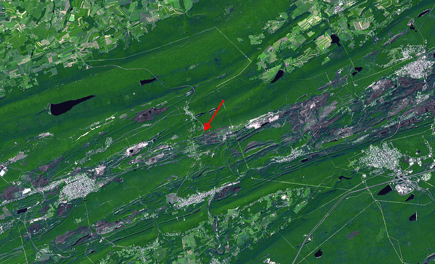
In eastern Pennsylvania's anthracite coal mining country is the abandoned town of Centralia. It is located between Mt. Carmel to the west, Ashland to the south, and Girardville and Shenandoah to the east. Open pit coal mines dot the landscape for miles around. In 1962, underground anthracite coal seams caught fire; by 1981 sinkholes started to appear, and by 1984 all the residents were ordered relocated, and the town was almost completely razed. The last two residents were evicted in 2009, turning what was once a thriving town of 1500 residents into a ghost town. The image was acquired August 24, 2003, covers an area of 22 x 13 km, and is located at 40.8 degrees north latitude, 76.3 degrees west longitude.
With its 14 spectral bands from the visible to the thermal infrared wavelength region and its high spatial resolution of 15 to 90 meters (about 50 to 300 feet), ASTER images Earth to map and monitor the changing surface of our planet. ASTER is one of five Earth-observing instruments launched Dec. 18, 1999, on Terra. The instrument was built by Japan's Ministry of Economy, Trade and Industry. A joint U.S./Japan science team is responsible for validation and calibration of the instrument and data products.
The broad spectral coverage and high spectral resolution of ASTER provides scientists in numerous disciplines with critical information for surface mapping and monitoring of dynamic conditions and temporal change. Example applications are: monitoring glacial advances and retreats; monitoring potentially active volcanoes; identifying crop stress; determining cloud morphology and physical properties; wetlands evaluation; thermal pollution monitoring; coral reef degradation; surface temperature mapping of soils and geology; and measuring surface heat balance.
The U.S. science team is located at NASA's Jet Propulsion Laboratory, Pasadena, Calif. The Terra mission is part of NASA's Science Mission Directorate, Washington, D.C.
More information about ASTER is available at http://asterweb.jpl.nasa.gov/.
 Planetary Data System


