My
List |
Addition Date
|
Target
|
Mission
|
Instrument
|
Size
|

|
2000-08-03 |
Earth
|
Landsat
Shuttle Radar Topography Mission (SRTM)
|
C-Band Interferometric Radar
Thematic Mapper
|
576x800x3 |
|
-
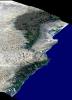
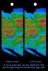
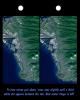
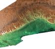
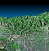
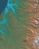
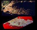
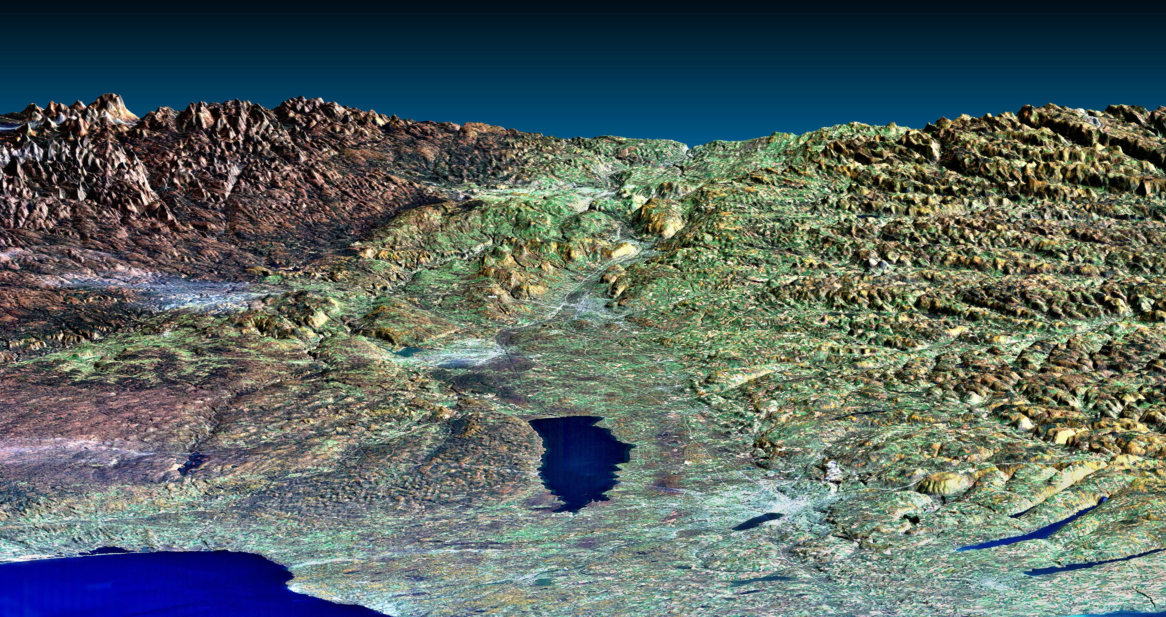
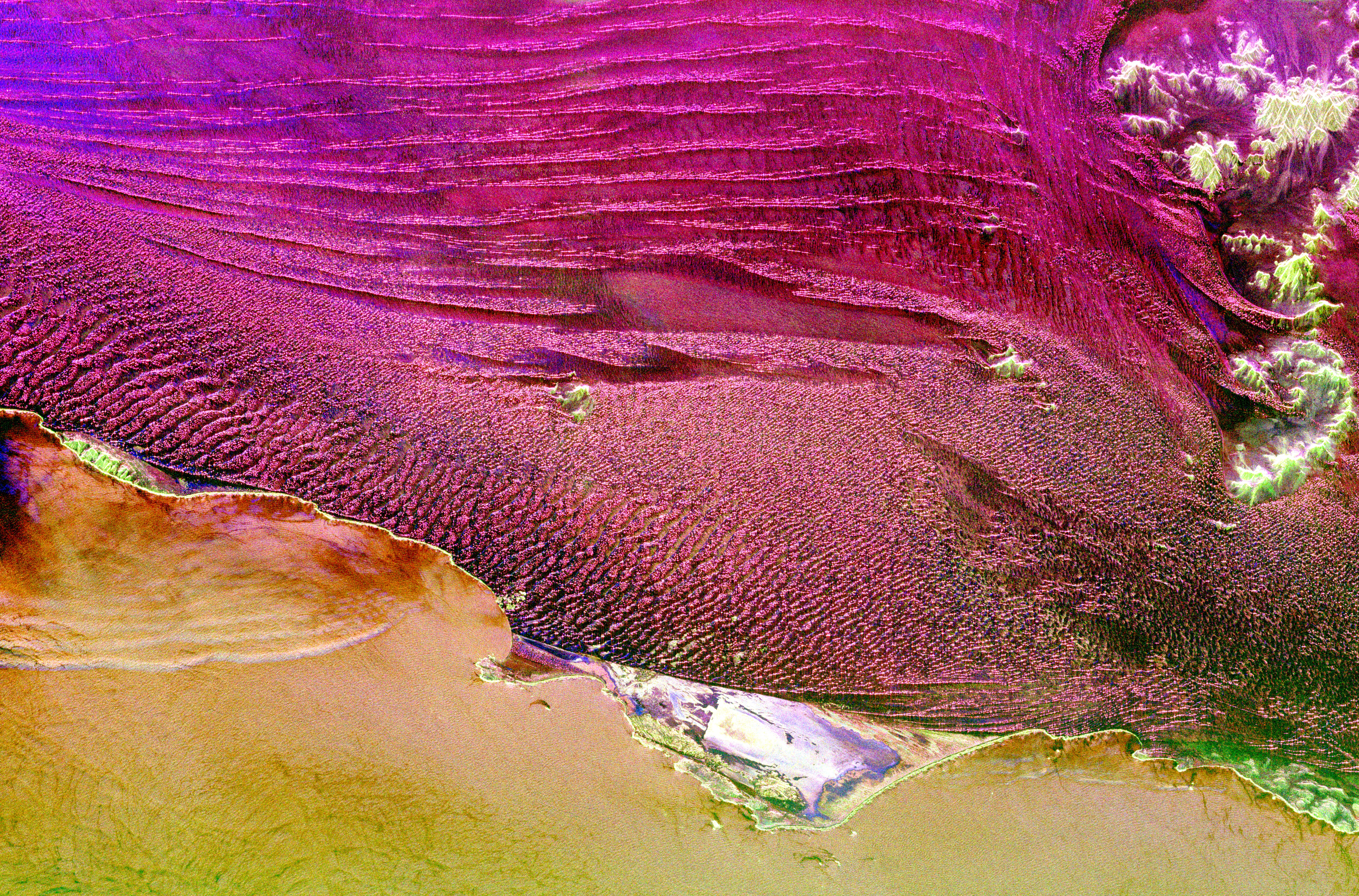
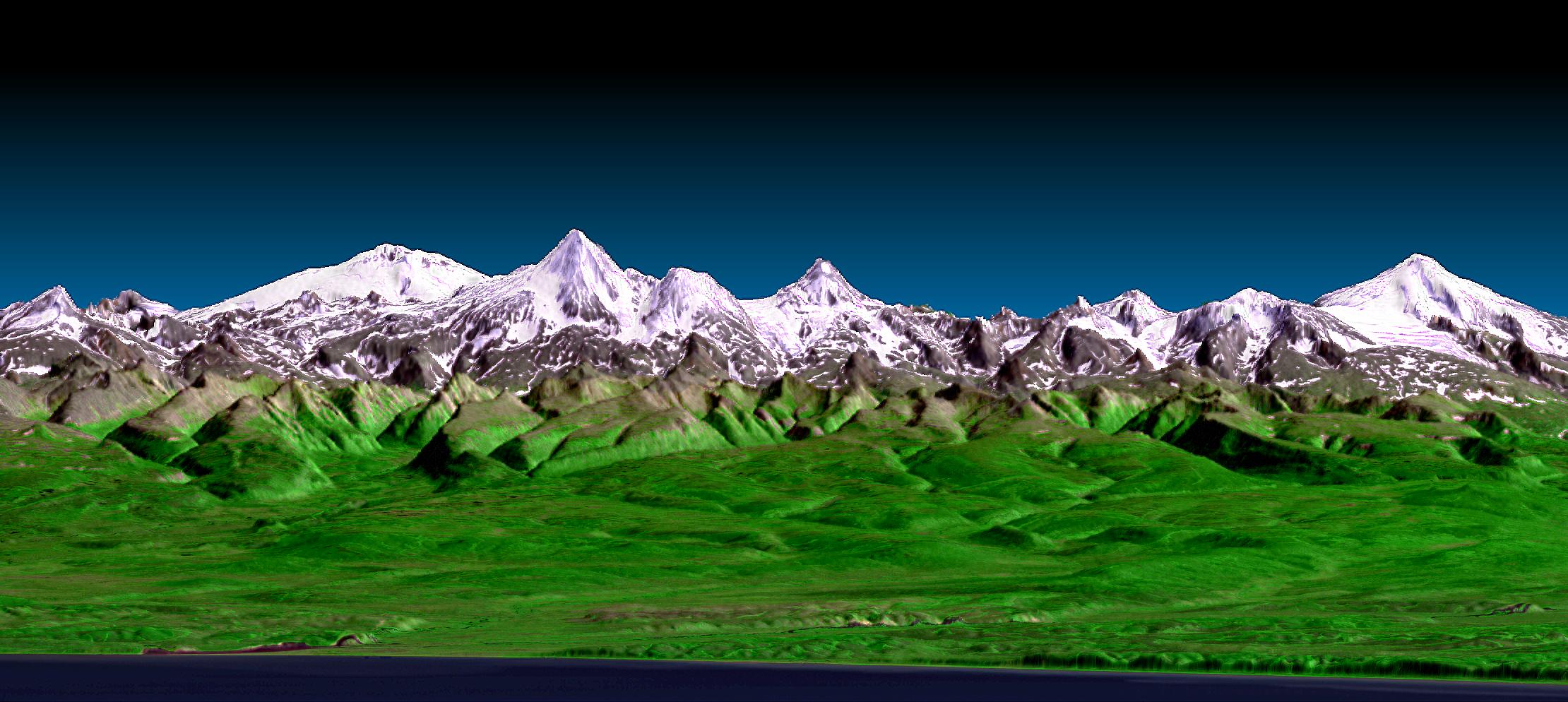
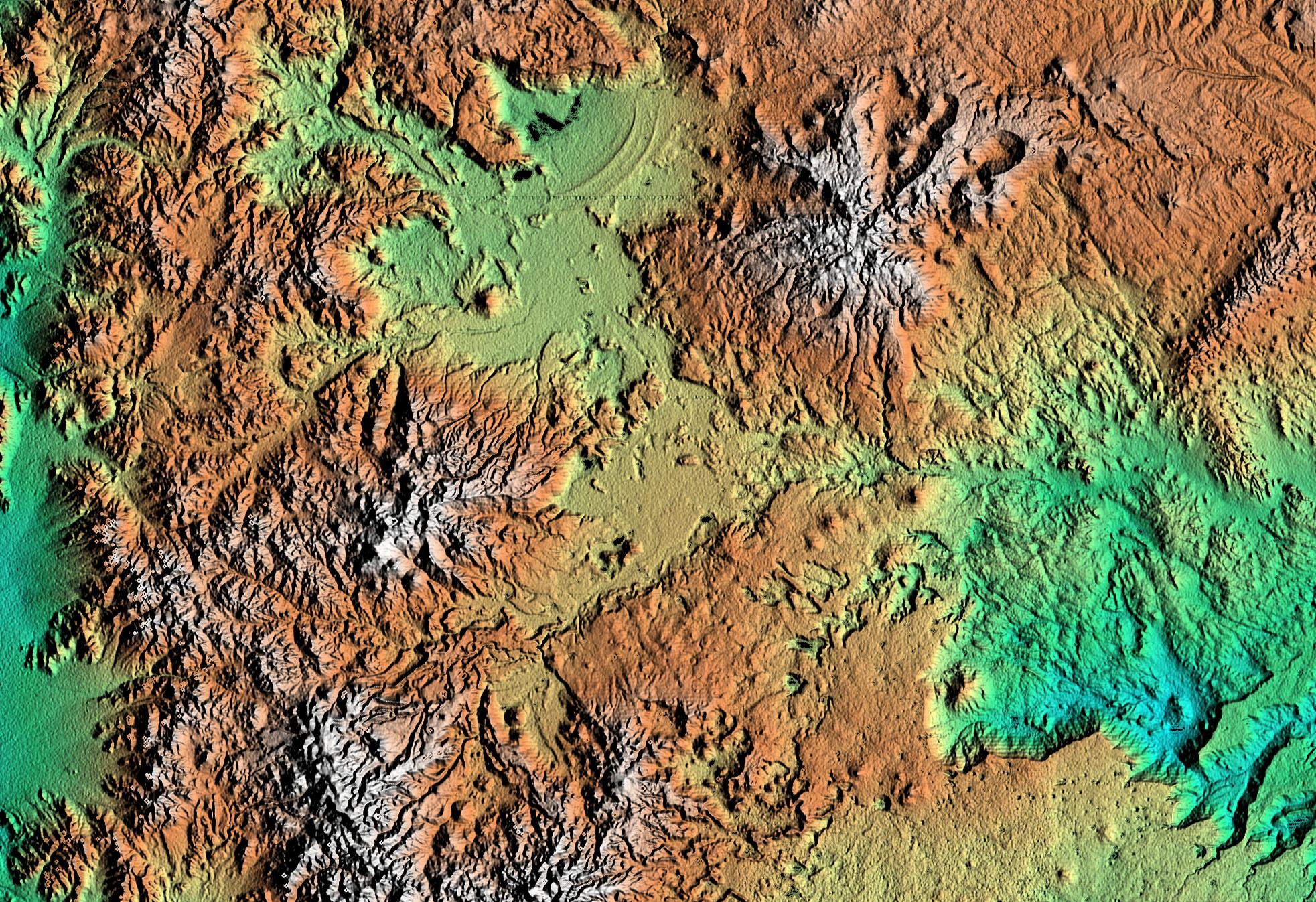
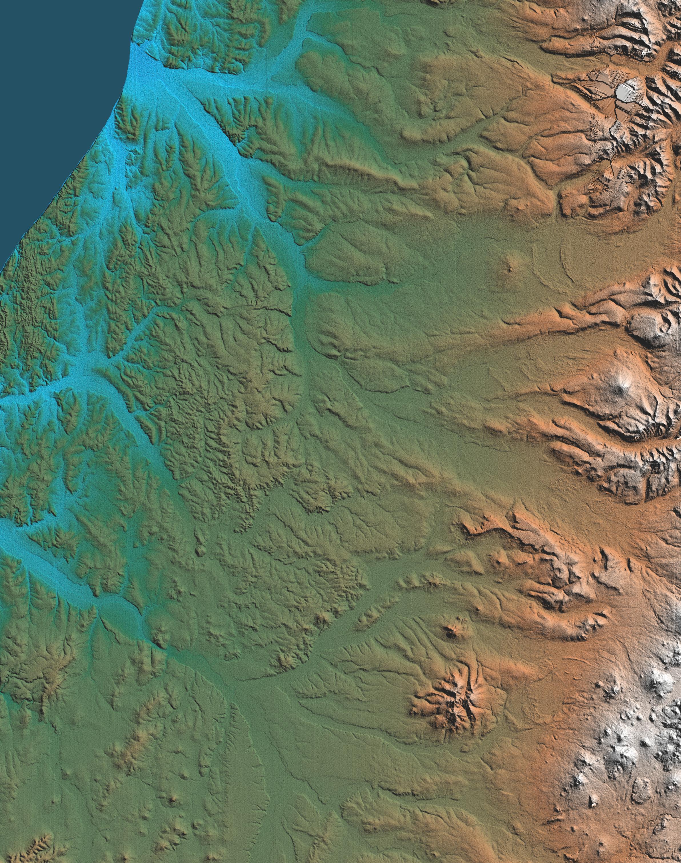
PIA02768:
-
Perspective View, Landsat Overlay, Salalah, Oman, Southern Arabian Peninsula
Full Resolution:
TIFF
(932.8 kB)
JPEG
(98.28 kB)
|
|
|
2000-07-27 |
Earth
|
Landsat
Shuttle Radar Topography Mission (SRTM)
|
C-Band Interferometric Radar
Thematic Mapper
|
2088x1795x3 |
|
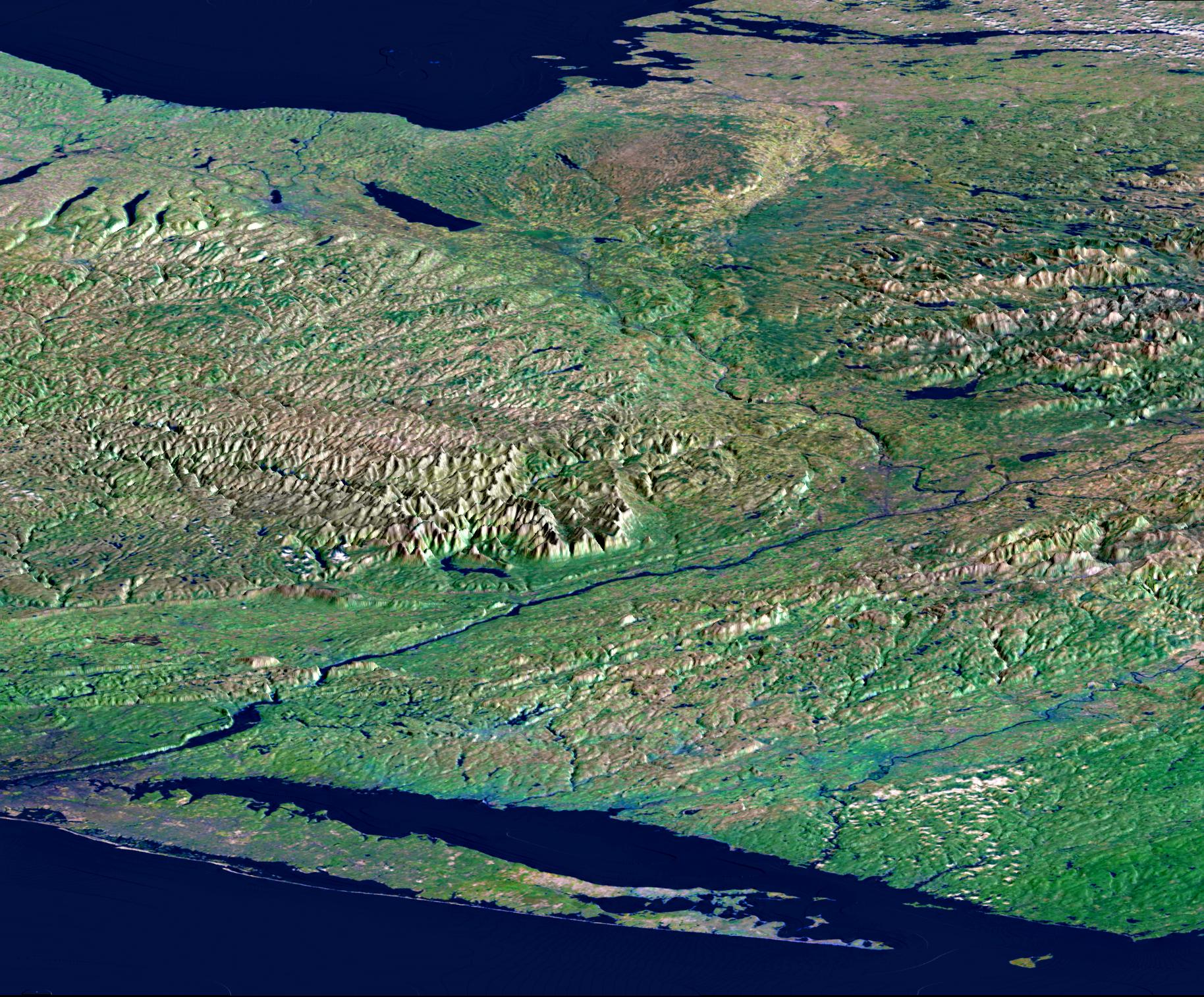
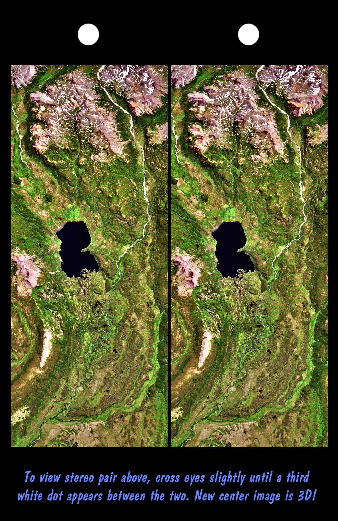
-
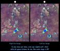
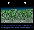
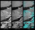
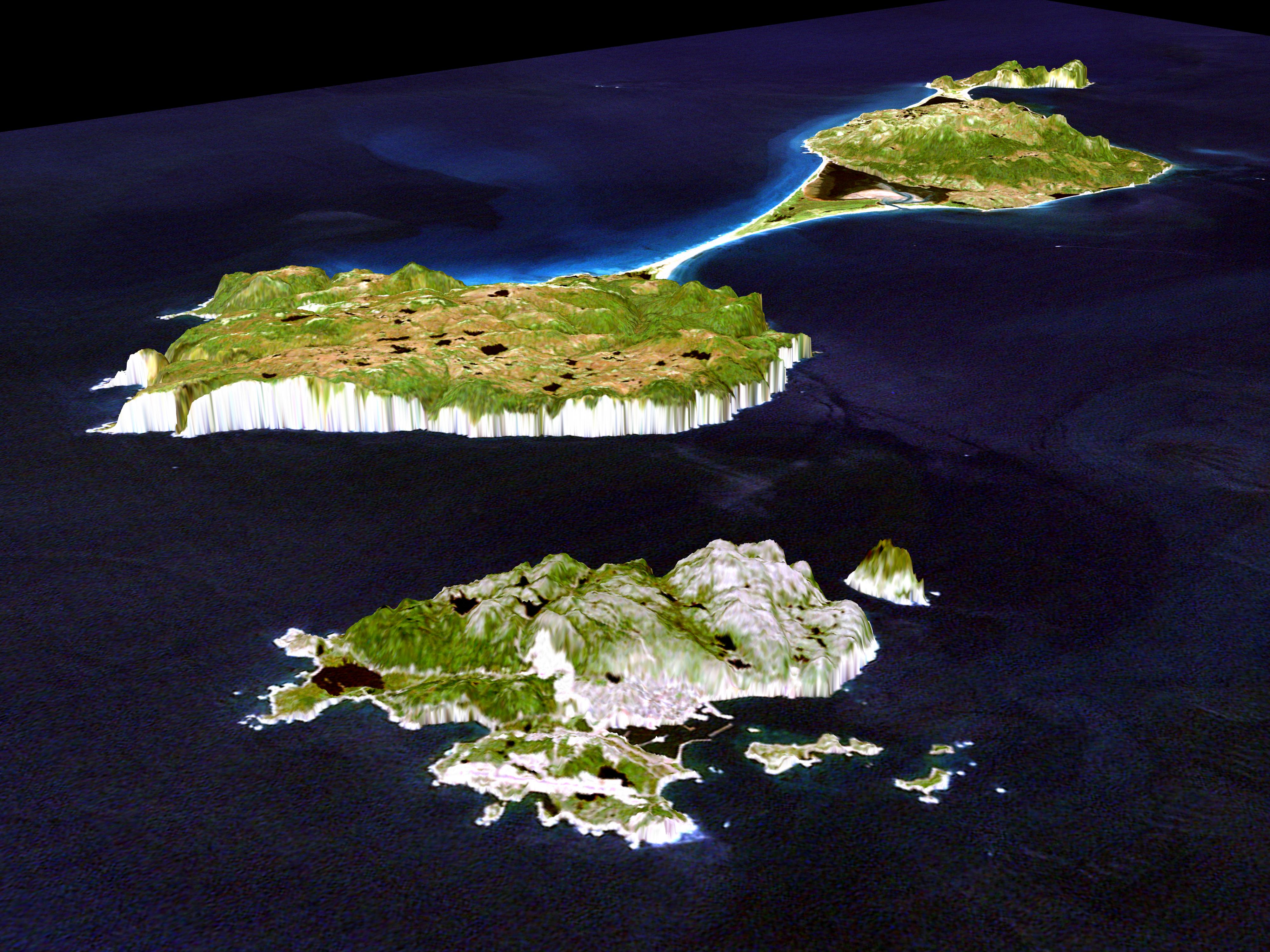
PIA02767:
-
SRTM Stereo Pair: Meseta de Somuncura, Patagonia, Argentina
Full Resolution:
TIFF
(5.983 MB)
JPEG
(516.6 kB)
|
|
|
2000-07-27 |
Earth
|
Landsat
Shuttle Radar Topography Mission (SRTM)
|
C-Band Interferometric Radar
Thematic Mapper
|
999x1335x3 |
|
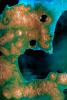
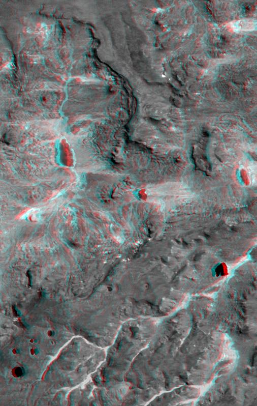
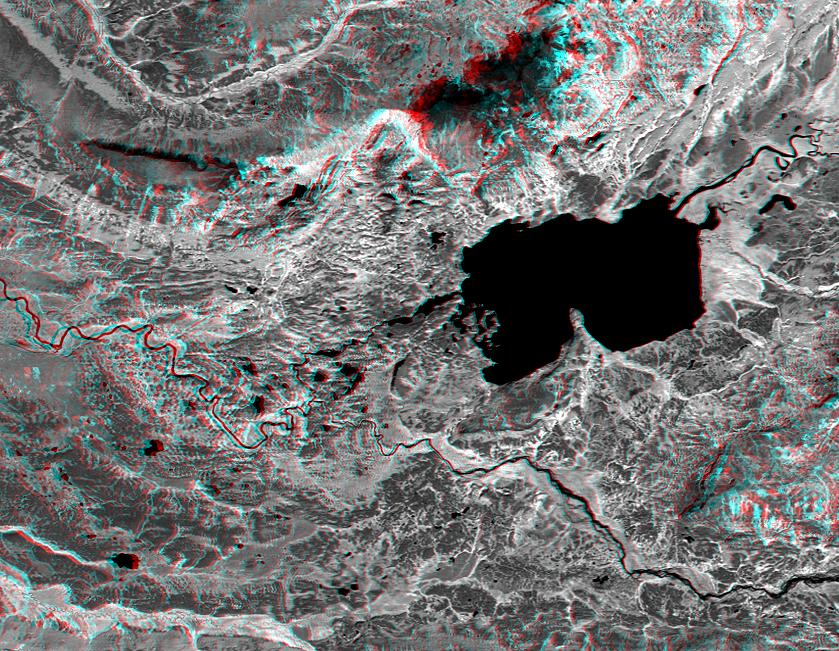
-
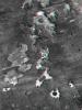
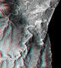
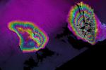
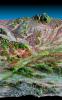
PIA02766:
-
SRTM Anaglyph: Meseta de Somuncura, Patagonia, Argentina (Near Los Menucos)
Full Resolution:
TIFF
(3.633 MB)
JPEG
(273.4 kB)
|
|
|
2000-07-20 |
Earth
|
Landsat
Shuttle Radar Topography Mission (SRTM)
|
C-Band Interferometric Radar
Thematic Mapper
|
1526x1243x3 |
|
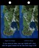
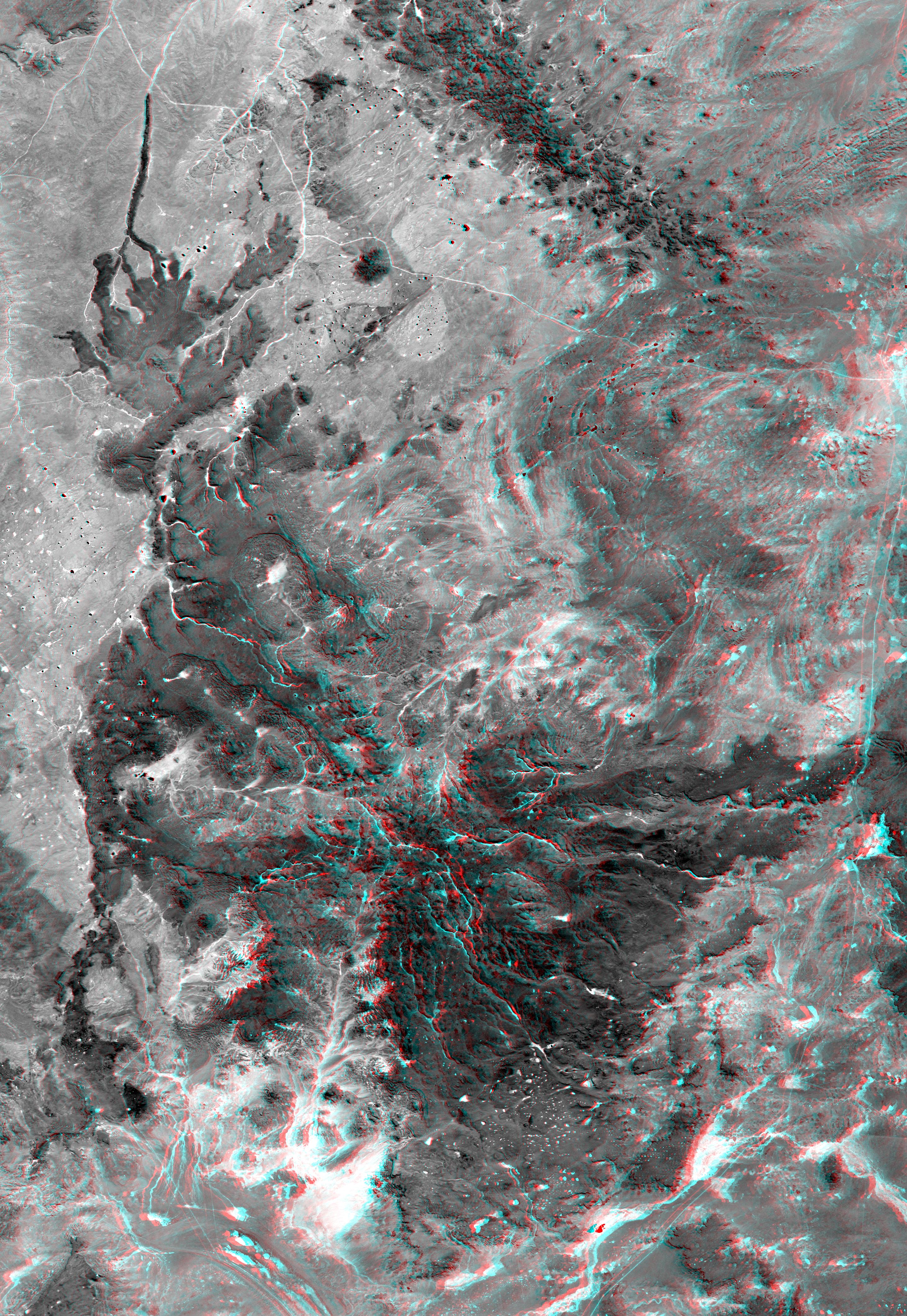
-
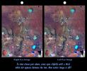
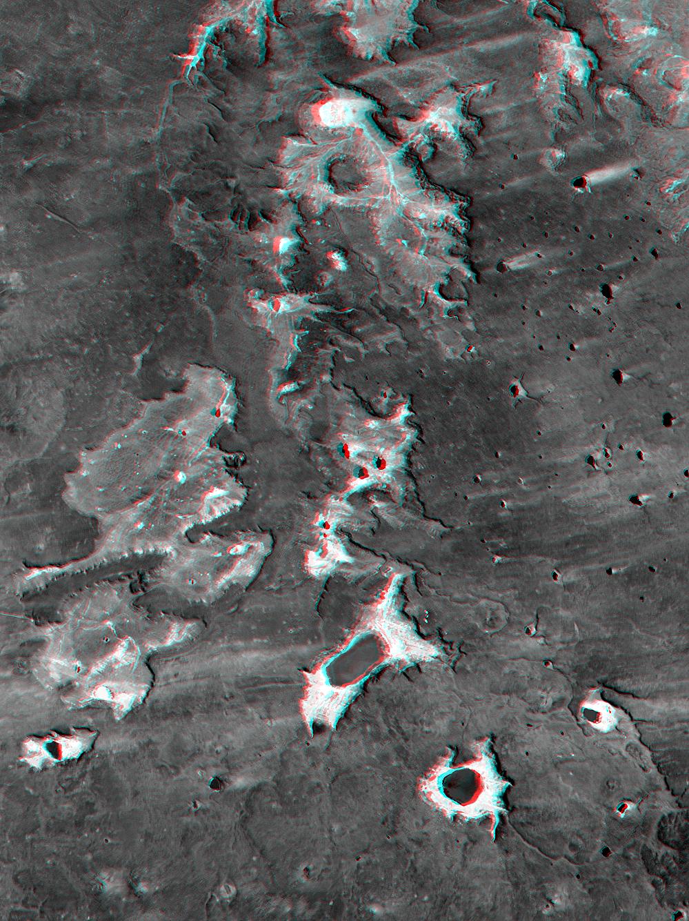
PIA02765:
-
Stereo Pair: Inverted Topography, Patagonia, Argentina
Full Resolution:
TIFF
(3.087 MB)
JPEG
(286.3 kB)
|
|
|
2000-07-20 |
Earth
|
Landsat
Shuttle Radar Topography Mission (SRTM)
|
C-Band Interferometric Radar
Thematic Mapper
|
718x907x3 |
|
-
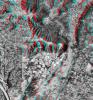
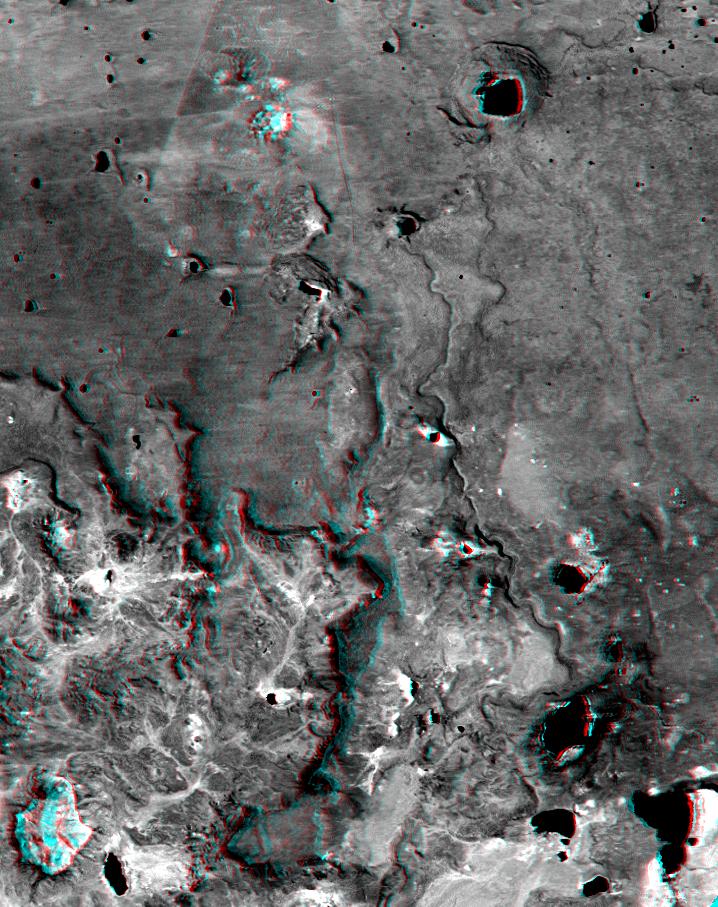
PIA02764:
-
SRTM Anaglyph: Inverted Topography, Patagonia, Argentina
Full Resolution:
TIFF
(1.025 MB)
JPEG
(149.5 kB)
|
|
|
2000-07-13 |
Earth
|
Landsat
Shuttle Radar Topography Mission (SRTM)
|
C-Band Interferometric Radar
Thematic Mapper
|
2437x1466x3 |
|
-
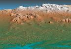
PIA02763:
-
Stereo Pair: Basalt Cliffs, Patagonia, Argentina
Full Resolution:
TIFF
(5.358 MB)
JPEG
(505.6 kB)
|
|
|
2000-07-13 |
Earth
|
Landsat
Shuttle Radar Topography Mission (SRTM)
|
C-Band Interferometric Radar
Thematic Mapper
|
1631x956x3 |
|
-
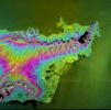
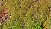
PIA02762:
-
Anaglyph: Basalt Cliffs, Patagonia, Argentina
Full Resolution:
TIFF
(2.516 MB)
JPEG
(296.4 kB)
|
|
|
2000-06-29 |
Earth
|
Landsat
Shuttle Radar Topography Mission (SRTM)
|
C-Band Interferometric Radar
Thematic Mapper
|
506x798x3 |
|
-
PIA02761:
-
Anaglyph: Patagonia, Argentina
Full Resolution:
TIFF
(1.101 MB)
JPEG
(79.37 kB)
|
|
|
2000-06-29 |
Earth
|
Landsat
Shuttle Radar Topography Mission (SRTM)
|
C-Band Interferometric Radar
Thematic Mapper
|
1102x1105x3 |
|
-
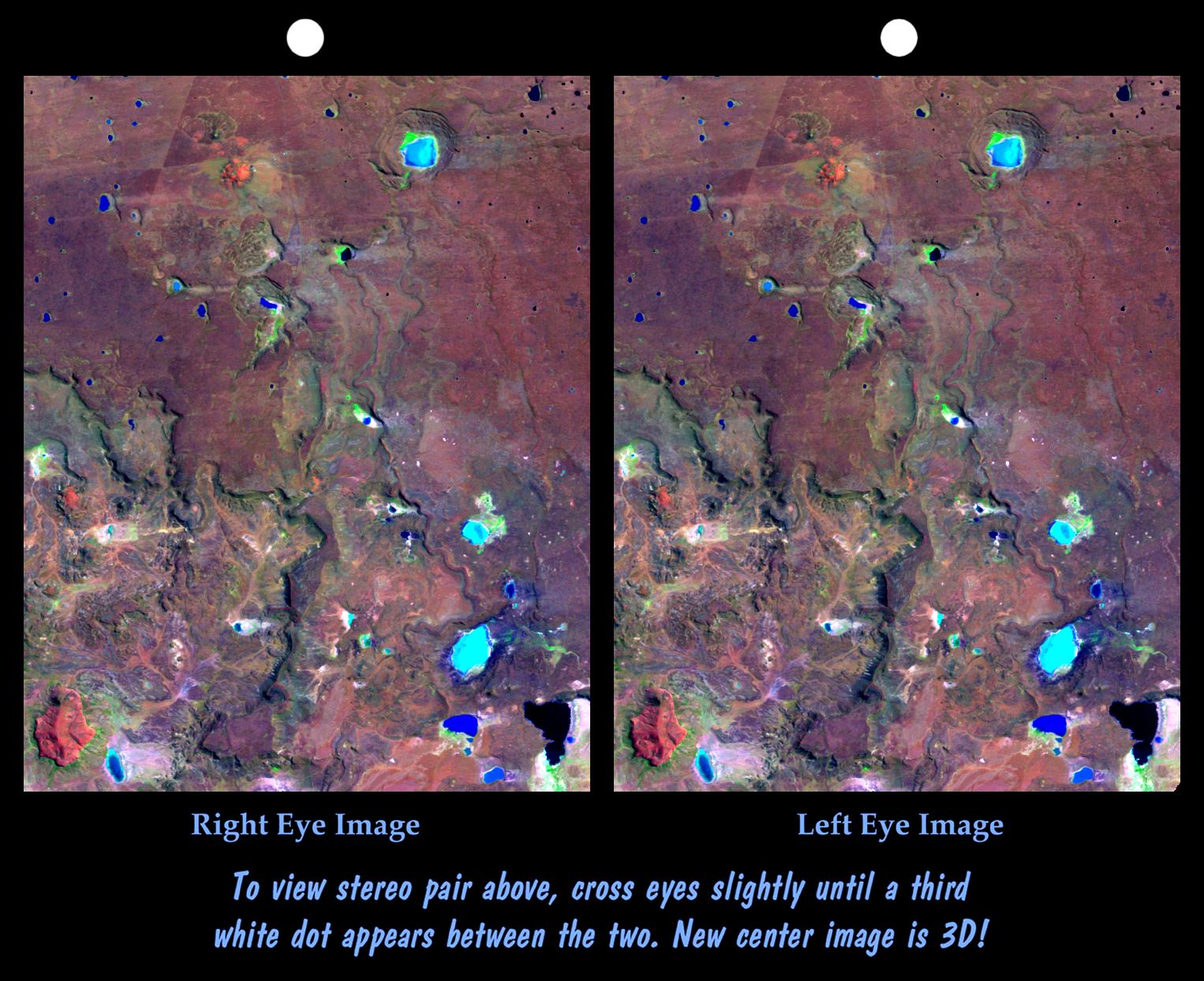
PIA02760:
-
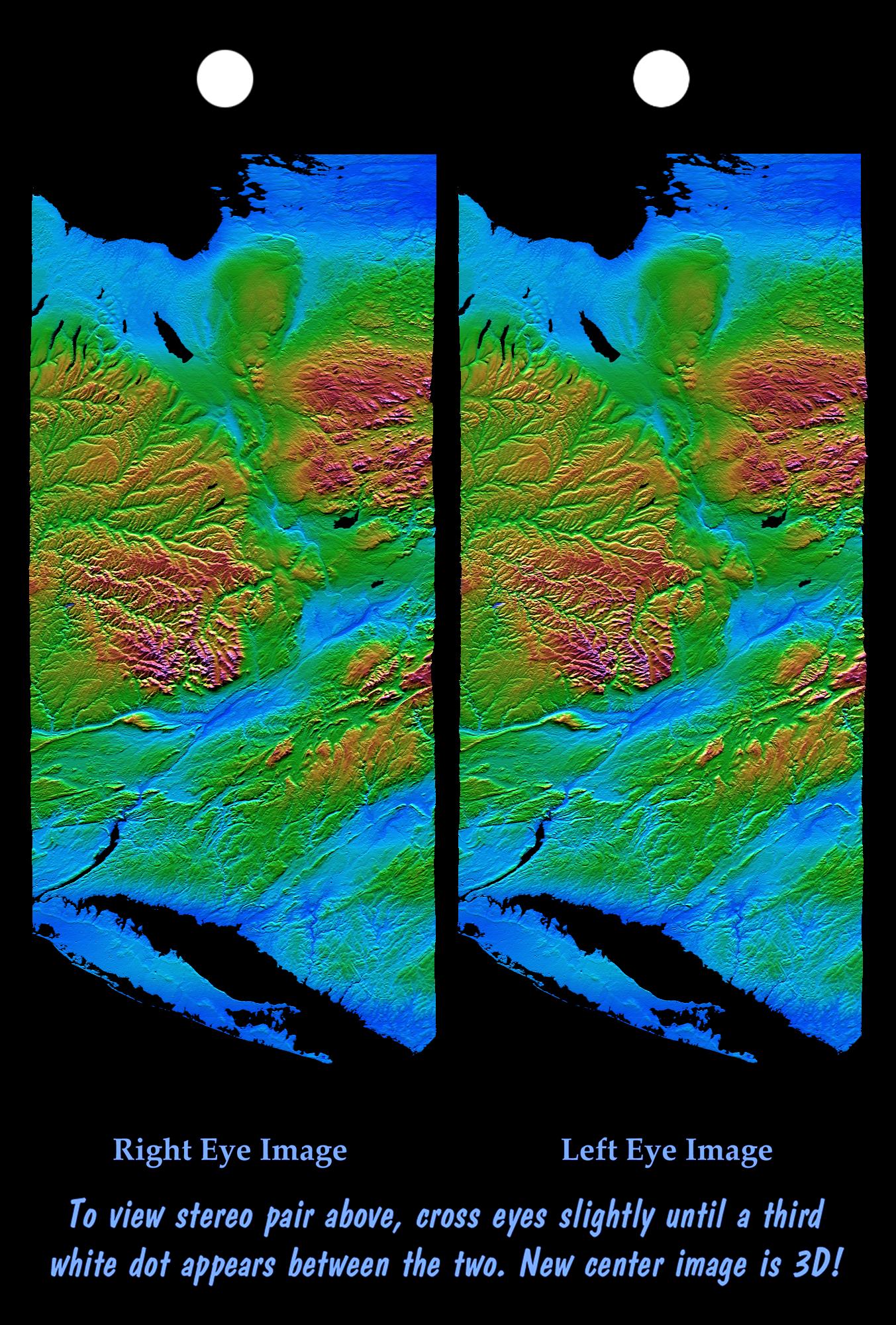
Stereo Pair: Patagonia, Argentina
Full Resolution:
TIFF
(2.054 MB)
JPEG
(214.7 kB)
|
|
|
2000-06-22 |
Earth
|
Landsat
Shuttle Radar Topography Mission (SRTM)
|
C-Band Interferometric Radar
Thematic Mapper
|
2995x3129x3 |
|
-
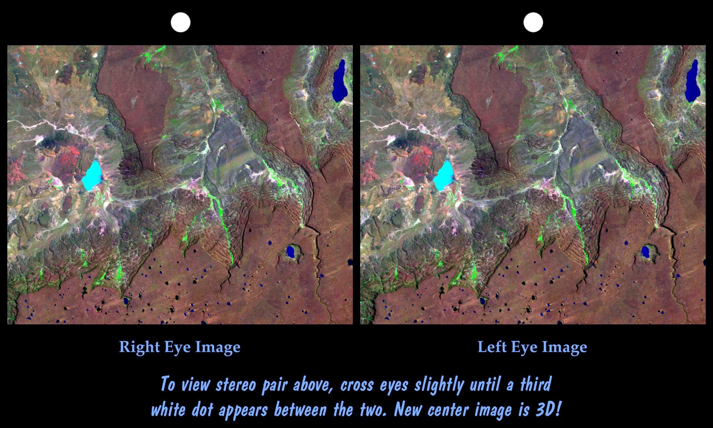
PIA02756:
-
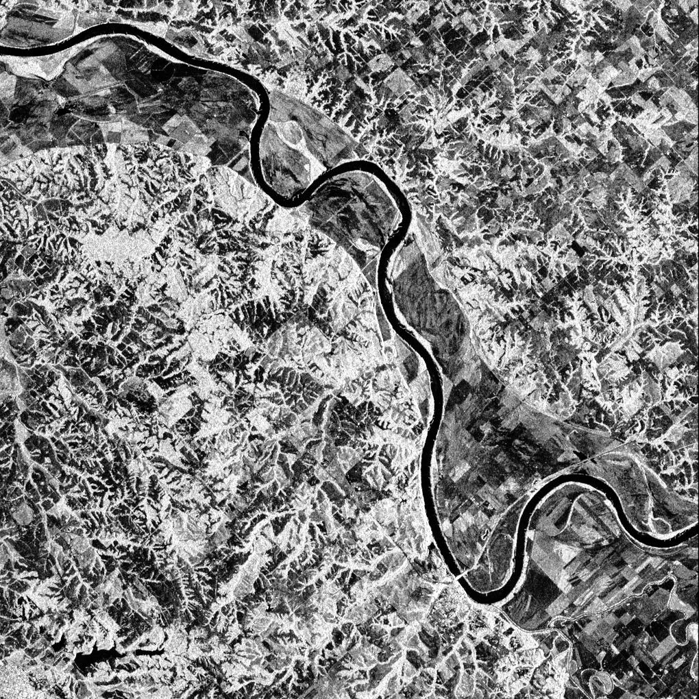
Stereo Pair, Patagonia, Argentina
Full Resolution:
TIFF
(24.23 MB)
JPEG
(1.777 MB)
|
|
|
2000-06-22 |
Earth
|
Landsat
Shuttle Radar Topography Mission (SRTM)
|
C-Band Interferometric Radar
Thematic Mapper
|
2920x4236x3 |
|
-
PIA02755:
-
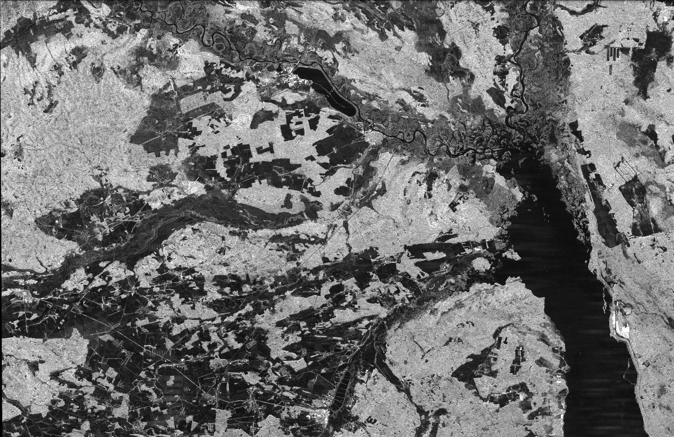
Anaglyph, Patagonia, Argentina
Full Resolution:
TIFF
(19.93 MB)
JPEG
(2.452 MB)
|
|
|
2000-06-15 |
Earth
|
Landsat
Shuttle Radar Topography Mission (SRTM)
|
C-Band Interferometric Radar
Thematic Mapper
|
3717x1969x3 |
|
-
PIA02759:
-
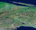
Perspective View, Syracuse, Oneida Lake, Utica, Upstate New York
Full Resolution:
TIFF
(21.13 MB)
JPEG
(2.424 MB)
|
|
|
2000-06-15 |
Earth
|
Landsat
Shuttle Radar Topography Mission (SRTM)
|
C-Band Interferometric Radar
Thematic Mapper
|
1828x1515x3 |
|
-
PIA02758:
-
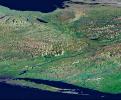
Perspective View, New York State, Lake Ontario to Long Island
Full Resolution:
TIFF
(8.574 MB)
JPEG
(617 kB)
|
|
|
2000-06-15 |
Earth
|
Landsat
Shuttle Radar Topography Mission (SRTM)
|
C-Band Interferometric Radar
Thematic Mapper
|
1828x1513x3 |
|
-
PIA02757:
-
Perspective View, New York State, Long Island to Lake Ontario
Full Resolution:
TIFF
(8.777 MB)
JPEG
(640.5 kB)
|
|
|
2000-06-15 |
Earth
|
Shuttle Radar Topography Mission (SRTM)
|
C-Band Interferometric Radar
|
2336x3229x3 |
|
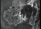
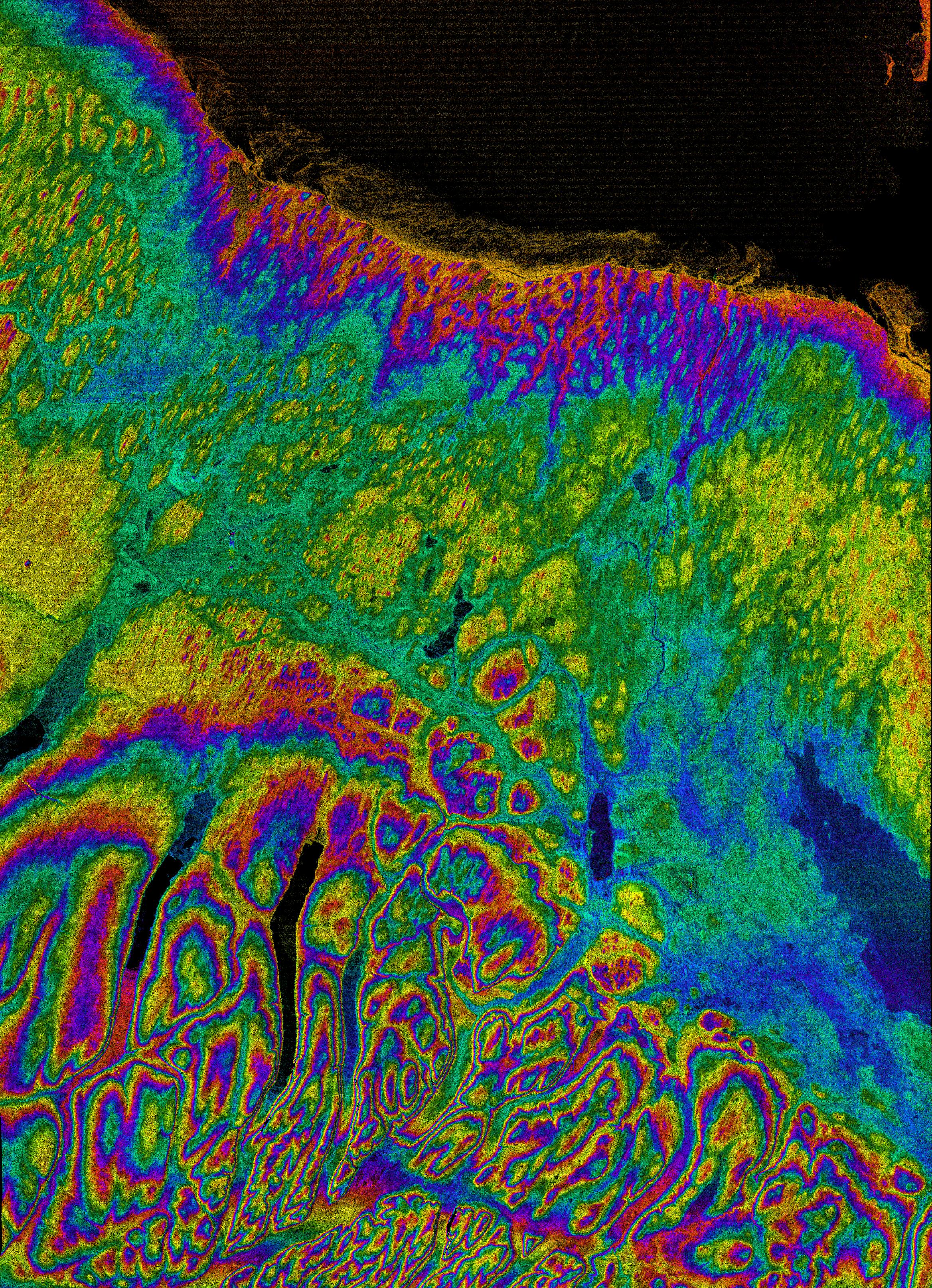
-
PIA02754:
-
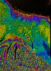
Radar with Color-wrapped Height Fringes, Syracuse and vicinity, New York State
Full Resolution:
TIFF
(19.24 MB)
JPEG
(3.371 MB)
|
|
|
2000-06-01 |
Earth
|
Shuttle Radar Topography Mission (SRTM)
|
C-Band Interferometric Radar
|
669x1427x3 |
|
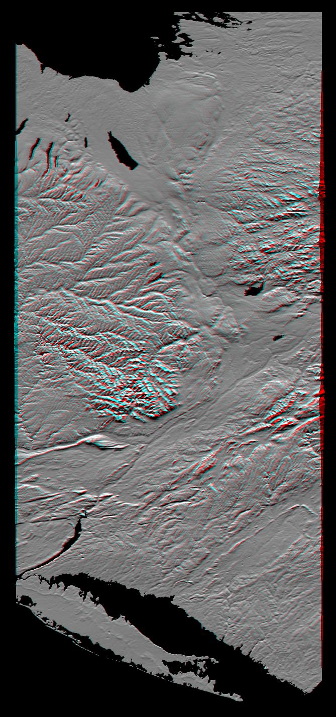
-
PIA02753:
-
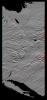
Anaglyph of Shaded Relief New York State, Lake Ontario to Long Island
Full Resolution:
TIFF
(1.849 MB)
JPEG
(193.7 kB)
|
|
|
2000-06-01 |
Earth
|
Shuttle Radar Topography Mission (SRTM)
|
C-Band Interferometric Radar
|
1353x2000x3 |
|
-
PIA02752:
-
Stereo Pair of Height as Color & Shaded Relief, New York State, Lake Ontario to Long Island
Full Resolution:
TIFF
(5.123 MB)
JPEG
(546.7 kB)
|
|
|
2000-05-18 |
Earth
|
Shuttle Radar Topography Mission (SRTM)
|
C-Band Interferometric Radar
|
1416x2113x3 |
|
-
PIA02751:
-
Radar Image, Hokkaido, Japan
Full Resolution:
TIFF
(7.544 MB)
JPEG
(1.125 MB)
|
|
|
2000-05-11 |
Earth
|
Landsat
Shuttle Radar Topography Mission (SRTM)
|
C-Band Interferometric Radar
Thematic Mapper
|
2158x1540x3 |
|
-
PIA02750:
-
Anaglyph, Landsat Overlay: Wellington, New Zealand
Full Resolution:
TIFF
(7.542 MB)
JPEG
(613.9 kB)
|
|
|
2000-05-11 |
Earth
|
Landsat
Shuttle Radar Topography Mission (SRTM)
|
C-Band Interferometric Radar
Thematic Mapper
|
1840x2320x3 |
|
-
PIA02749:
-
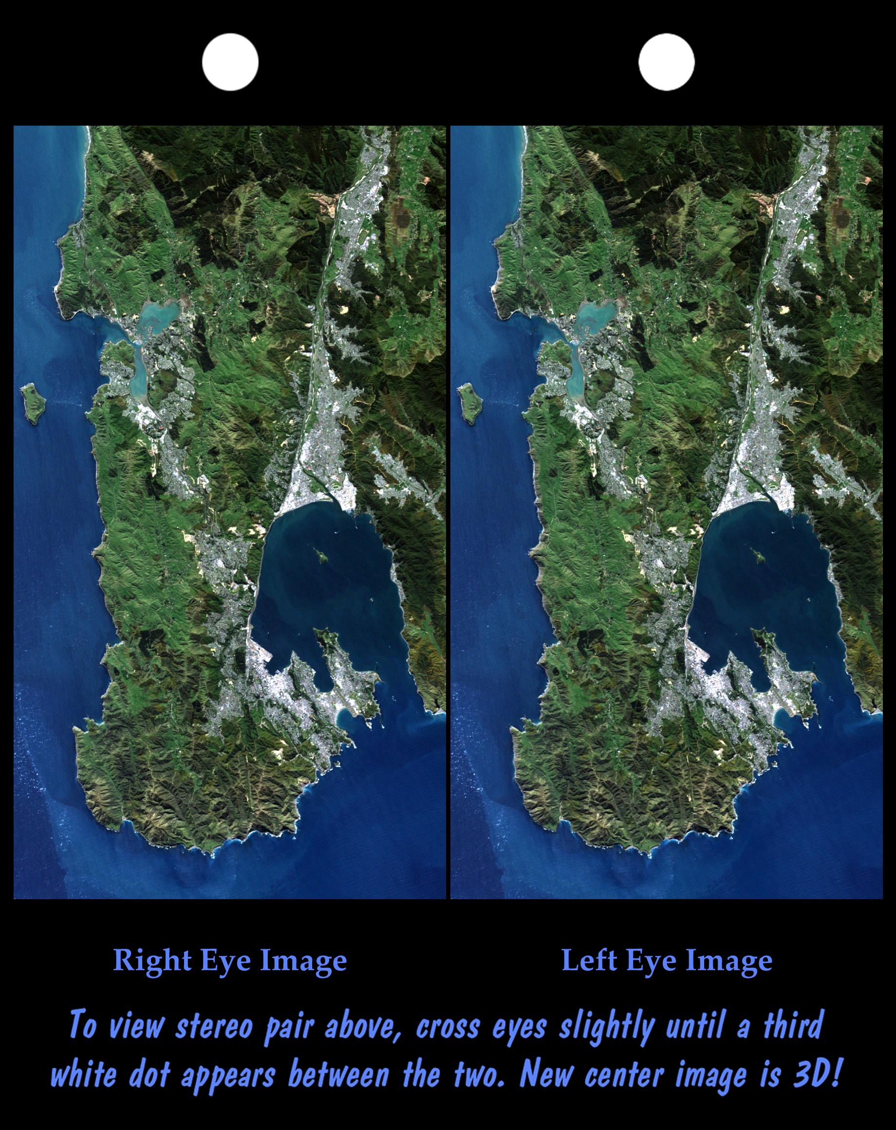
Stereo Pair: Wellington, New Zealand
Full Resolution:
TIFF
(9.859 MB)
JPEG
(619.5 kB)
|
|
|
2000-04-27 |
Earth
|
Landsat
Shuttle Radar Topography Mission (SRTM)
|
C-Band Interferometric Radar
Thematic Mapper
|
1362x900x3 |

|
-
PIA02748:
-
Perspective View with Landsat Overlaid Owahanga, New Zealand
Full Resolution:
TIFF
(2.168 MB)
JPEG
(177.3 kB)
|
|
|
2000-04-27 |
Earth
|
Spaceborne Imaging Radar-C/X-Band Synthetic Aperture Radar
|
|
6577x4337x3 |

|
-
PIA01856:
-
Space Radar Image of Namibia Sand Dunes
Full Resolution:
TIFF
(86.77 MB)
JPEG
(8.973 MB)
|
|
|
2000-04-20 |
Earth
|
Landsat
Shuttle Radar Topography Mission (SRTM)
|
C-Band Interferometric Radar
Thematic Mapper
|
4000x3000x3 |
|
-
PIA02745:
-
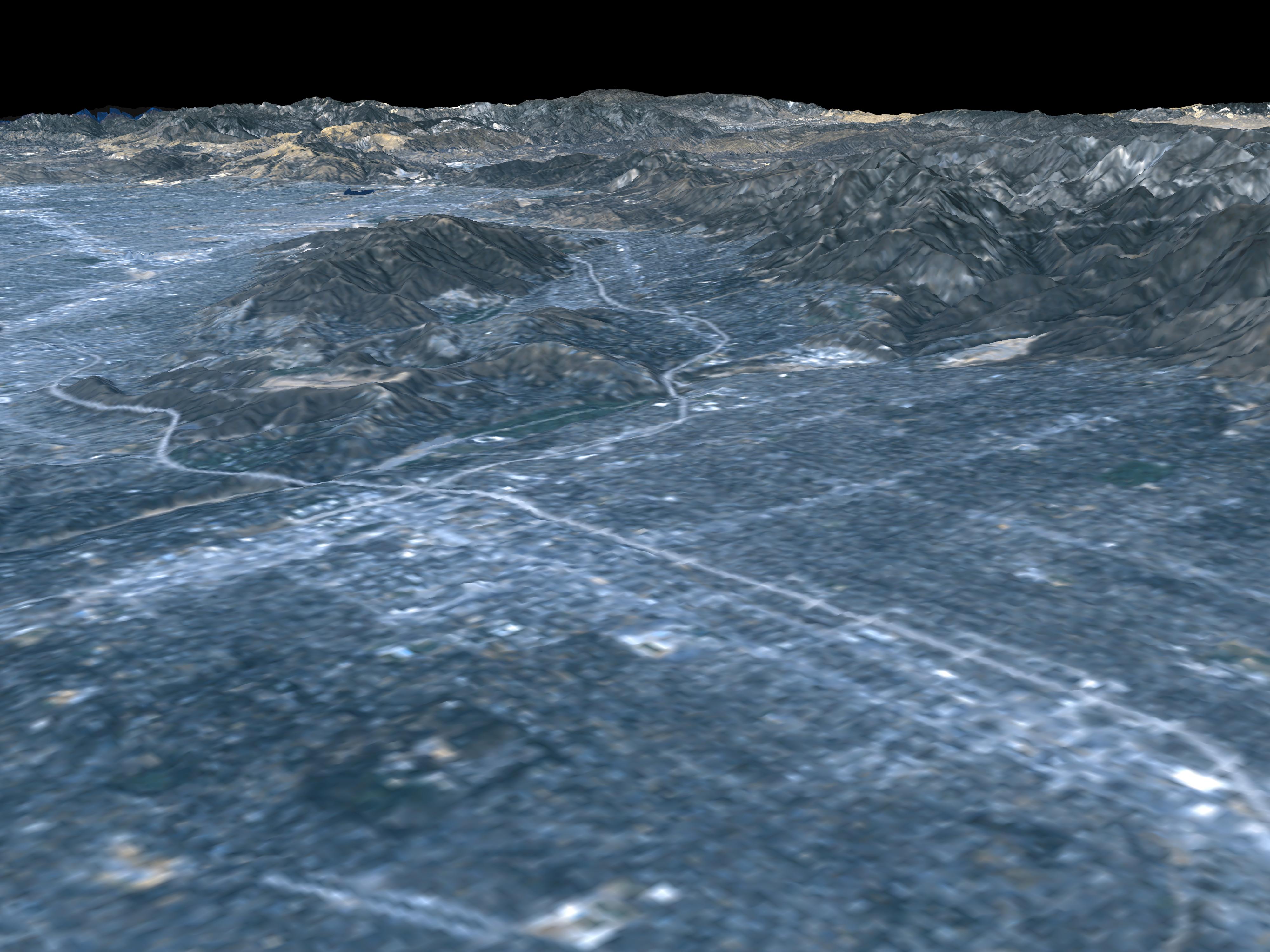
Perspective View, San Andreas Fault
Full Resolution:
TIFF
(7.318 MB)
JPEG
(703.5 kB)
|
|
|
2000-04-20 |
Earth
|
Landsat
Shuttle Radar Topography Mission (SRTM)
|
C-Band Interferometric Radar
Thematic Mapper
|
4000x3000x3 |
|
-
PIA02747:
-
Perspective View, Garlock Fault
Full Resolution:
TIFF
(8.213 MB)
JPEG
(756.2 kB)
|
|
|
2000-04-20 |
Earth
|
Landsat
Shuttle Radar Topography Mission (SRTM)
|
C-Band Interferometric Radar
Thematic Mapper
|
4000x3000x3 |
|
-
PIA02746:
-
Perspective View, San Andreas Fault
Full Resolution:
TIFF
(6.834 MB)
JPEG
(666.4 kB)
|
|
|
2000-04-13 |
Earth
|
Landsat
Shuttle Radar Topography Mission (SRTM)
|
C-Band Interferometric Radar
Thematic Mapper
|
839x651x3 |
|
-
PIA02744:
-
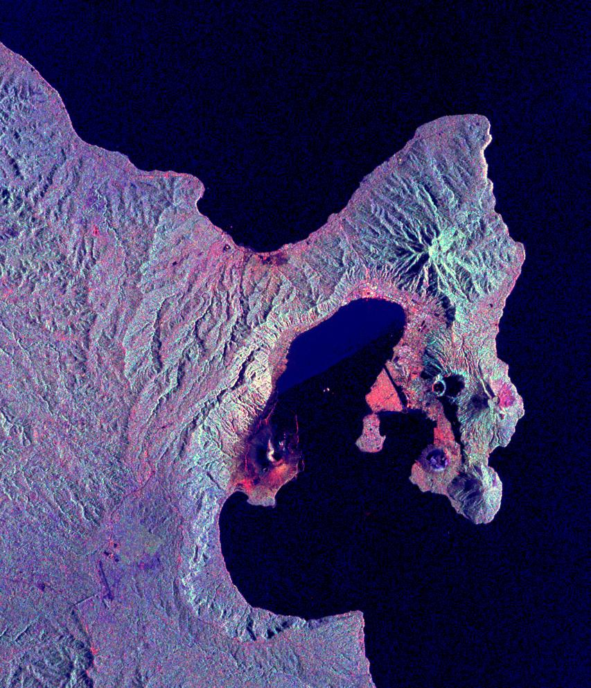
Anaglyph, Lake Palanskoye Landslide, Kamchatka Peninsula, Russia
Full Resolution:
TIFF
(1.501 MB)
JPEG
(180.1 kB)
|
|
|
2000-04-13 |
Earth
|
Landsat
Shuttle Radar Topography Mission (SRTM)
|
C-Band Interferometric Radar
Thematic Mapper
|
1428x2200x3 |
|
-
PIA02743:
-
Stereo Pair, Lake Palanskoye Landslide, Kamchatka Peninsula, Russia
Full Resolution:
TIFF
(7.223 MB)
JPEG
(689.6 kB)
|
|
|
2000-04-06 |
Earth
|
Shuttle Radar Topography Mission (SRTM)
|
C-Band Interferometric Radar
|
2197x2400x3 |
|
-
PIA02742:
-
Shaded relief with Color as Height, Wellington, New Zealand
Full Resolution:
TIFF
(11.9 MB)
JPEG
(1.063 MB)
|
|
|
2000-03-28 |
Earth
|
Shuttle Radar Topography Mission (SRTM)
|
C-Band Interferometric Radar
|
1176x710x3 |

|
-
PIA02741:
-
SRTM Radar Image, Wrapped Color as Height/EarthKam Optical Honolulu, Hawaii
Full Resolution:
TIFF
(2.756 MB)
JPEG
(178.6 kB)
|
|
|
2000-03-23 |
Earth
|
Landsat
Shuttle Radar Topography Mission (SRTM)
|
C-Band Interferometric Radar
Thematic Mapper
|
2220x994x3 |

|
-
PIA02740:
-
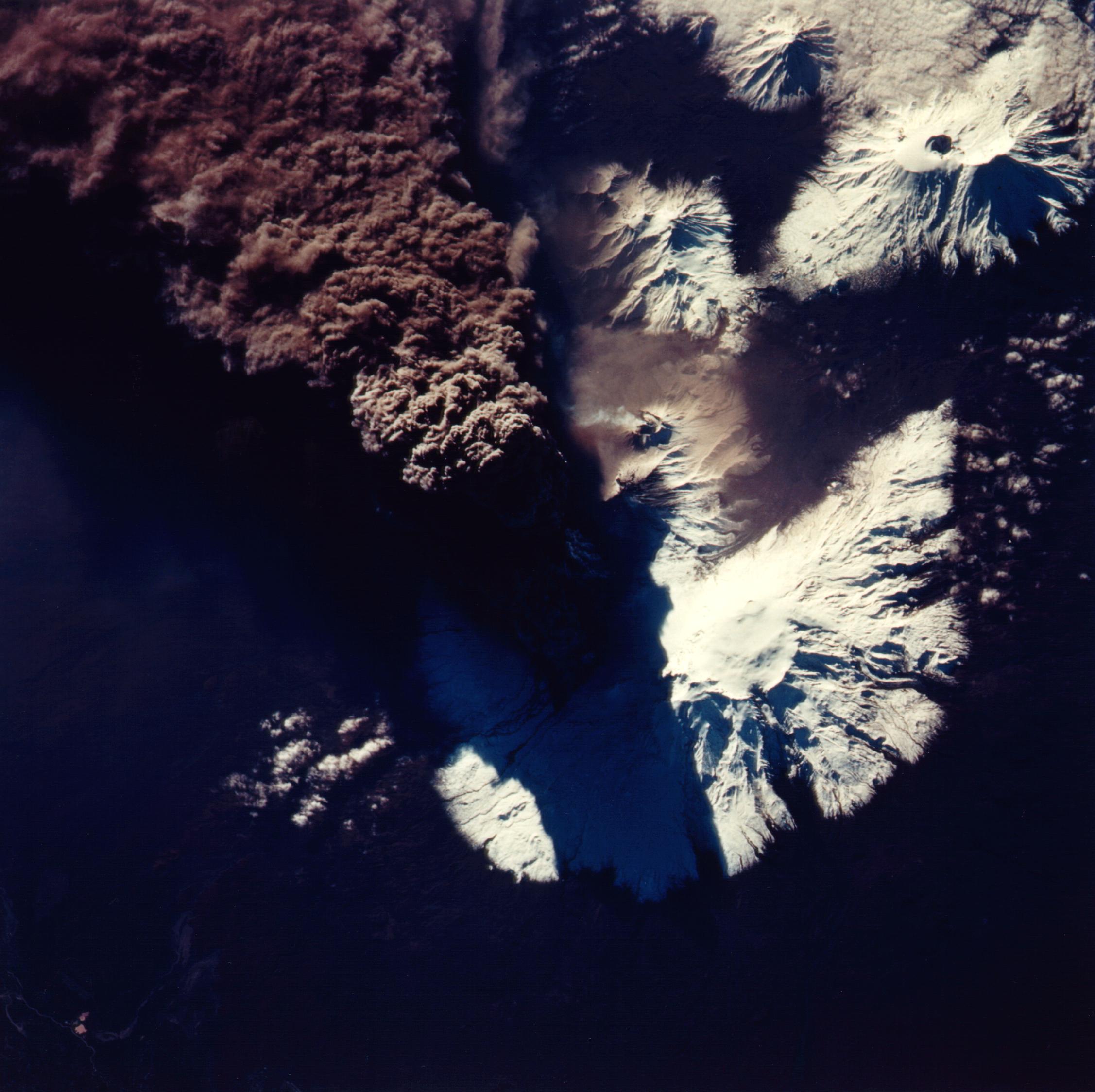
3-D Perspective View, Kamchatka Peninsula, Russia
Full Resolution:
TIFF
(4.091 MB)
JPEG
(304.8 kB)
|
|
|
2000-03-16 |
Earth
|
Landsat
Shuttle Radar Topography Mission (SRTM)
|
C-Band Interferometric Radar
Thematic Mapper
|
4000x3000x3 |
|
-
PIA02739:
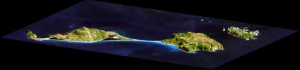
-
3-D Perspective View, Miquelon and Saint Pierre Islands
Full Resolution:
TIFF
(34.1 MB)
JPEG
(1.338 MB)
|
|
|
2000-03-13 |
Earth
|
Shuttle Radar Topography Mission (SRTM)
|
C-Band Interferometric Radar
|
2496x2447x3 |
|
-
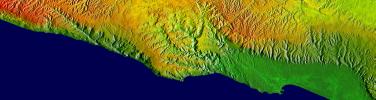
PIA02719:
-
Southern California Shaded Relief, Color as Height
Full Resolution:
TIFF
(8.636 MB)
JPEG
(654 kB)
|
|
|
2000-03-10 |
Earth
|
Landsat
Shuttle Radar Topography Mission (SRTM)
|
C-Band Interferometric Radar
Thematic Mapper
|
1591x2005x3 |
|
-
PIA02738:
-
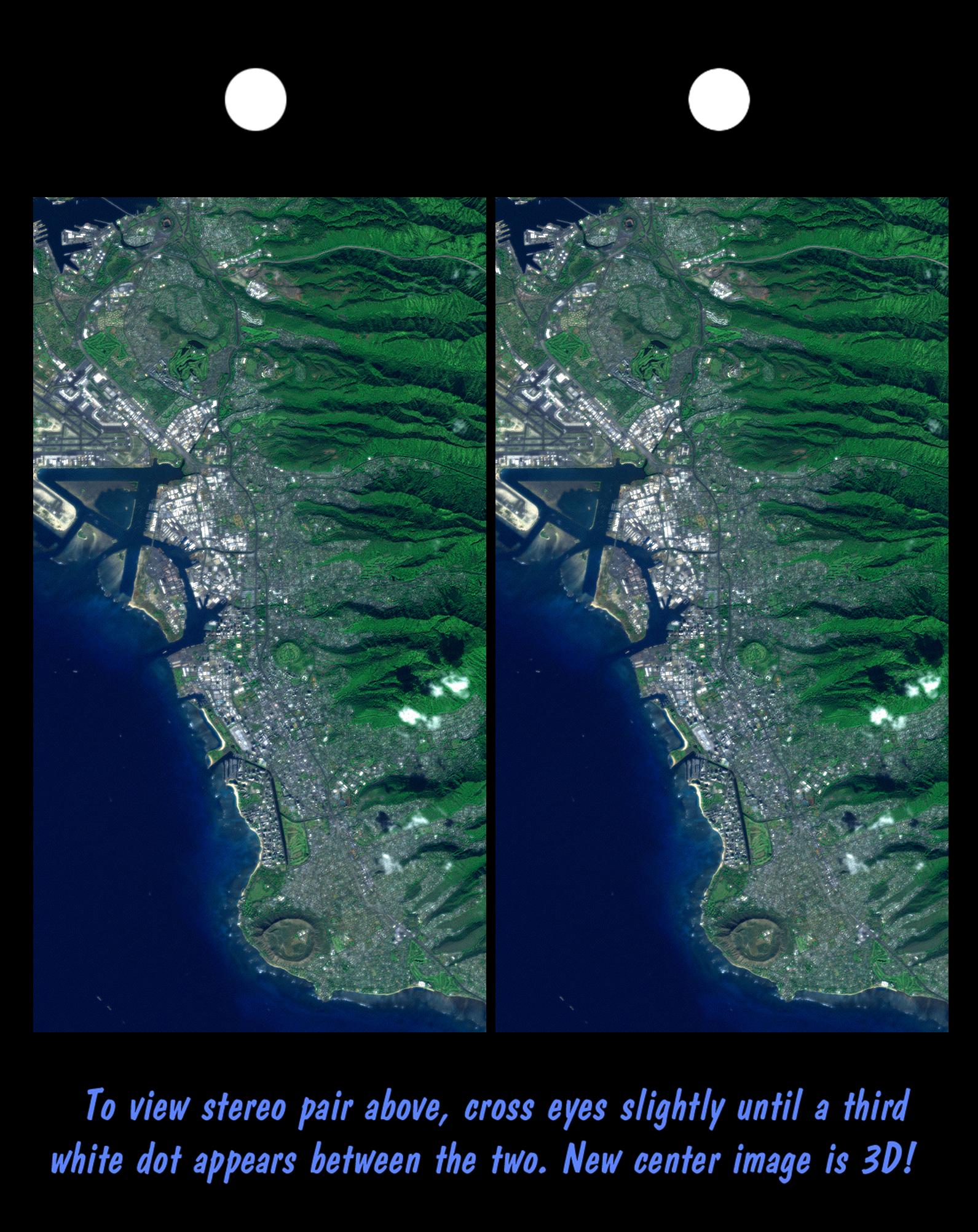
Stereo Pair, Honolulu, Oahu
Full Resolution:
TIFF
(6.849 MB)
JPEG
(439.6 kB)
|
|
|
2000-03-10 |
Earth
|
Landsat
Shuttle Radar Topography Mission (SRTM)
|
C-Band Interferometric Radar
Thematic Mapper
|
2340x2069x3 |
|
-
PIA02737:
-
Stereo Pair, Pasadena, California
Full Resolution:
TIFF
(8.309 MB)
JPEG
(704.7 kB)
|
|
|
2000-03-10 |
Earth
|
Landsat
Shuttle Radar Topography Mission (SRTM)
|
C-Band Interferometric Radar
Thematic Mapper
|
1218x1366x3 |
|
-
PIA02736:
-
Anaglyph, Landsat overlay, Southernmost Coastal Oman
Full Resolution:
TIFF
(4.27 MB)
JPEG
(312.1 kB)
|
|
|
2000-03-10 |
Earth
|
Shuttle Radar Topography Mission (SRTM)
|
C-Band Interferometric Radar
|
2482x661x3 |
|
-
PIA02735:
Shaded Relief, Color as Height, Salalah, Oman
Full Resolution:
TIFF
(2.65 MB)
JPEG
(458.7 kB)
|
|
|
2000-02-21 |
Earth
|
Landsat
Shuttle Radar Topography Mission (SRTM)
|
C-Band Interferometric Radar
Thematic Mapper
|
4000x3000x3 |
|
-
PIA02734:
-
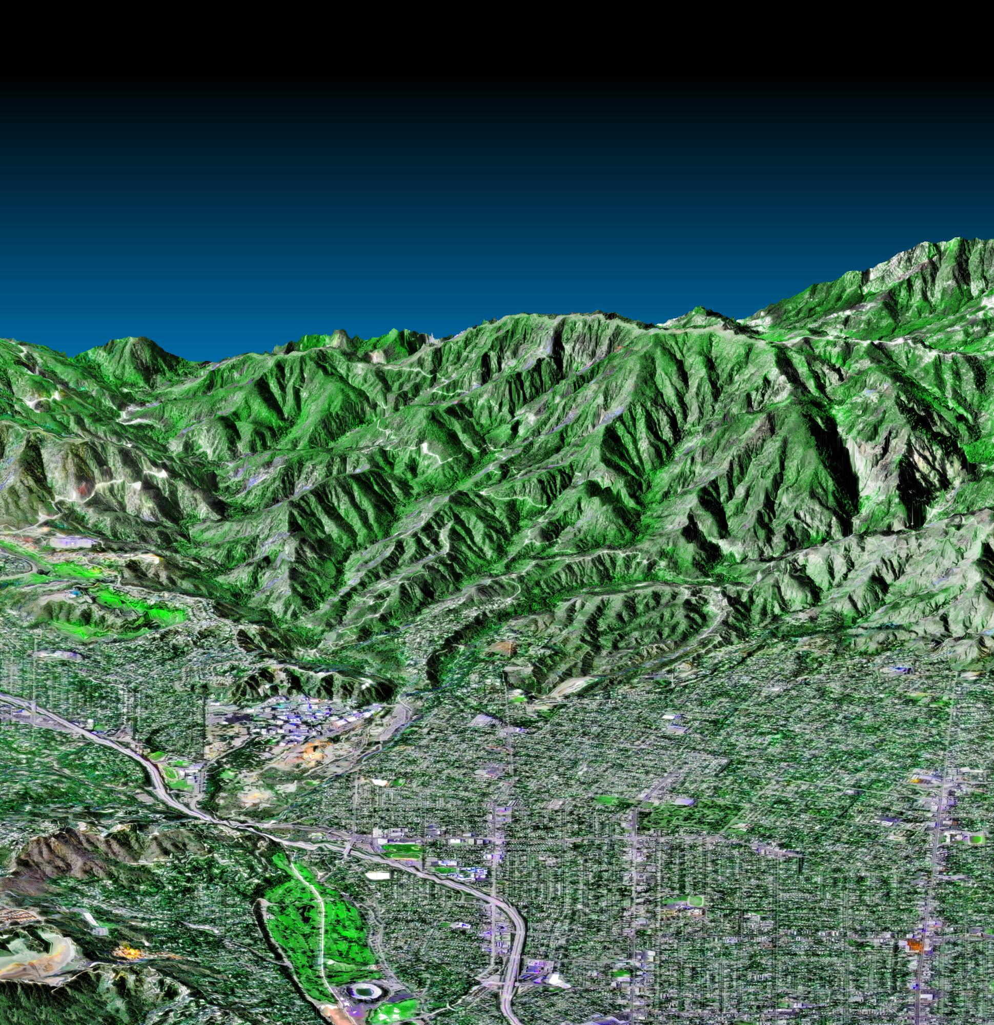
Perspective View, Landsat Overlay Pasadena, California
Full Resolution:
TIFF
(27.95 MB)
JPEG
(930 kB)
|
|
|
2000-02-21 |
Earth
|
Landsat
Shuttle Radar Topography Mission (SRTM)
|
C-Band Interferometric Radar
Thematic Mapper
|
4000x3000x3 |
|
-
PIA02733:
-
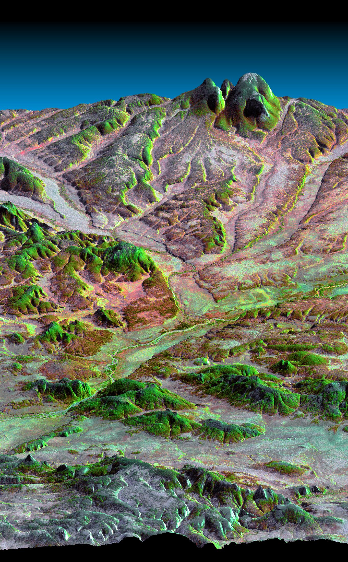
Perspective view, Landsat overlay San Andreas Fault, Palmdale, California
Full Resolution:
TIFF
(24.12 MB)
JPEG
(879.1 kB)
|
|
|
2000-02-21 |
Earth
|
Shuttle Radar Topography Mission (SRTM)
|
C-Band Interferometric Radar
|
1603x1181x3 |

|
-
PIA02732:
-
Shaded relief, color as height, Fiji
Full Resolution:
TIFF
(1.396 MB)
JPEG
(328.6 kB)
|
|
|
2000-02-21 |
Earth
|
Shuttle Radar Topography Mission (SRTM)
|
C-Band Interferometric Radar
|
1929x1800x3 |
|
-
PIA02731:
-
Anaglyph of Perspective View with Aerial Photo Overlay Pasadena, California
Full Resolution:
TIFF
(6.552 MB)
JPEG
(663.3 kB)
|
|
|
2000-02-21 |
Earth
|
Shuttle Radar Topography Mission (SRTM)
|
C-Band Interferometric Radar
|
1252x2352x1 |
|
-
PIA02730:
-
Radar image San Francisco Bay Area, California
Full Resolution:
TIFF
(3.475 MB)
JPEG
(874.5 kB)
|
|
|
2000-02-20 |
Earth
|
Shuttle Radar Topography Mission (SRTM)
|
C-Band Interferometric Radar
|
1634x1072x3 |
|
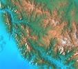
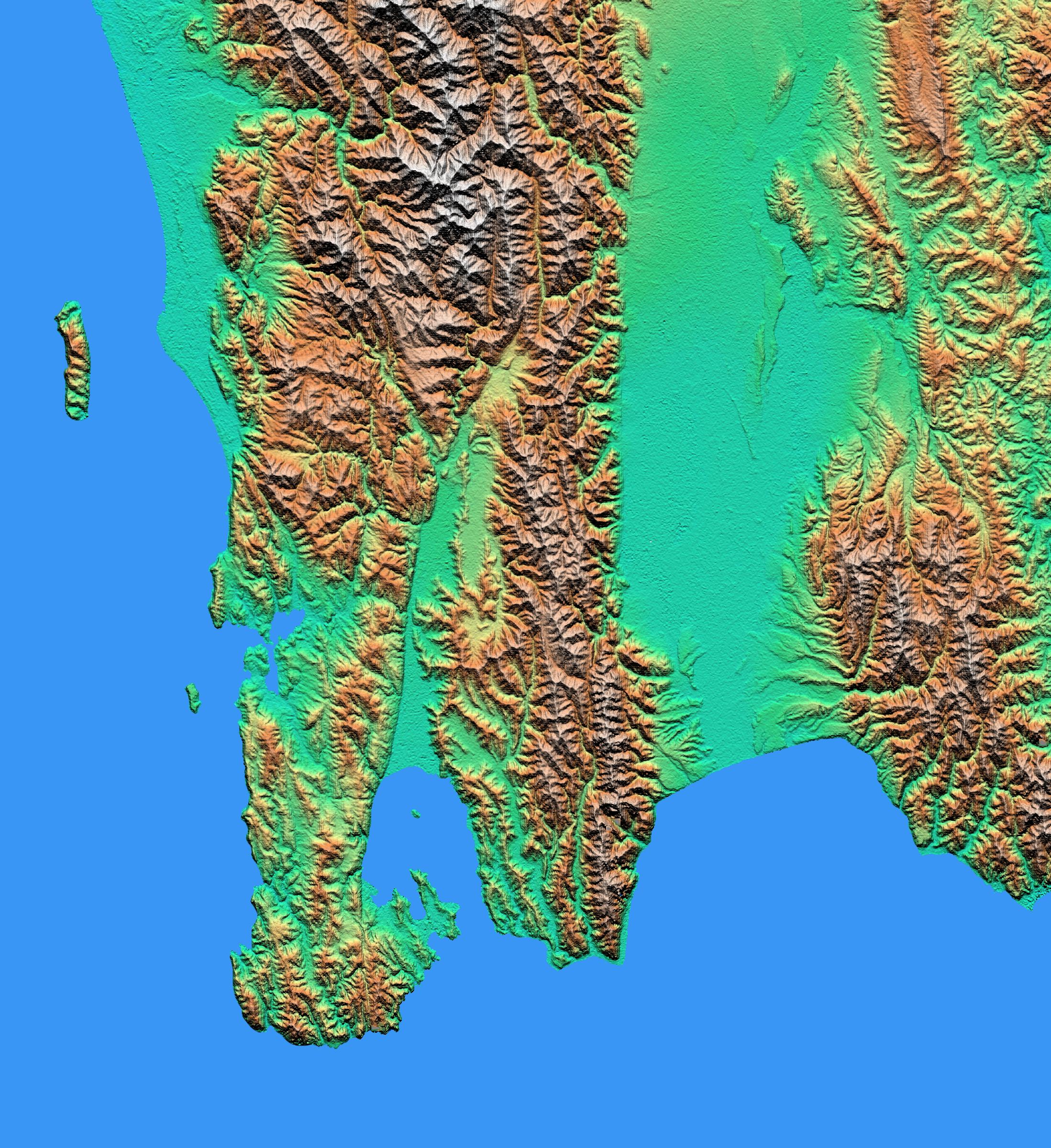
-
PIA02729:
-
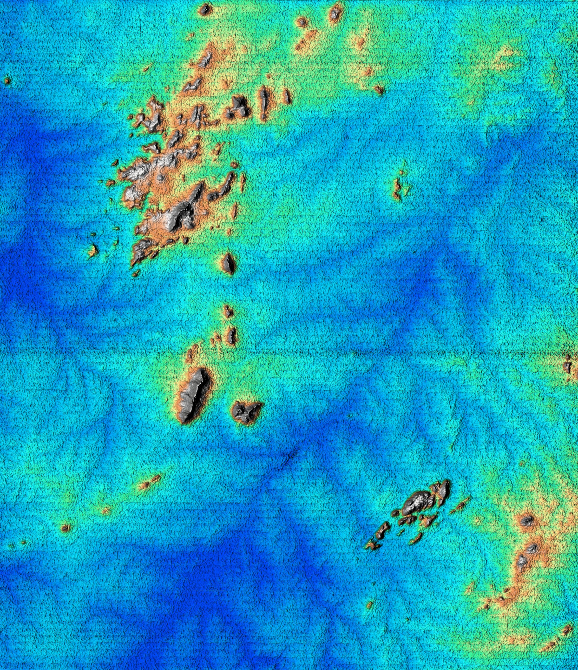
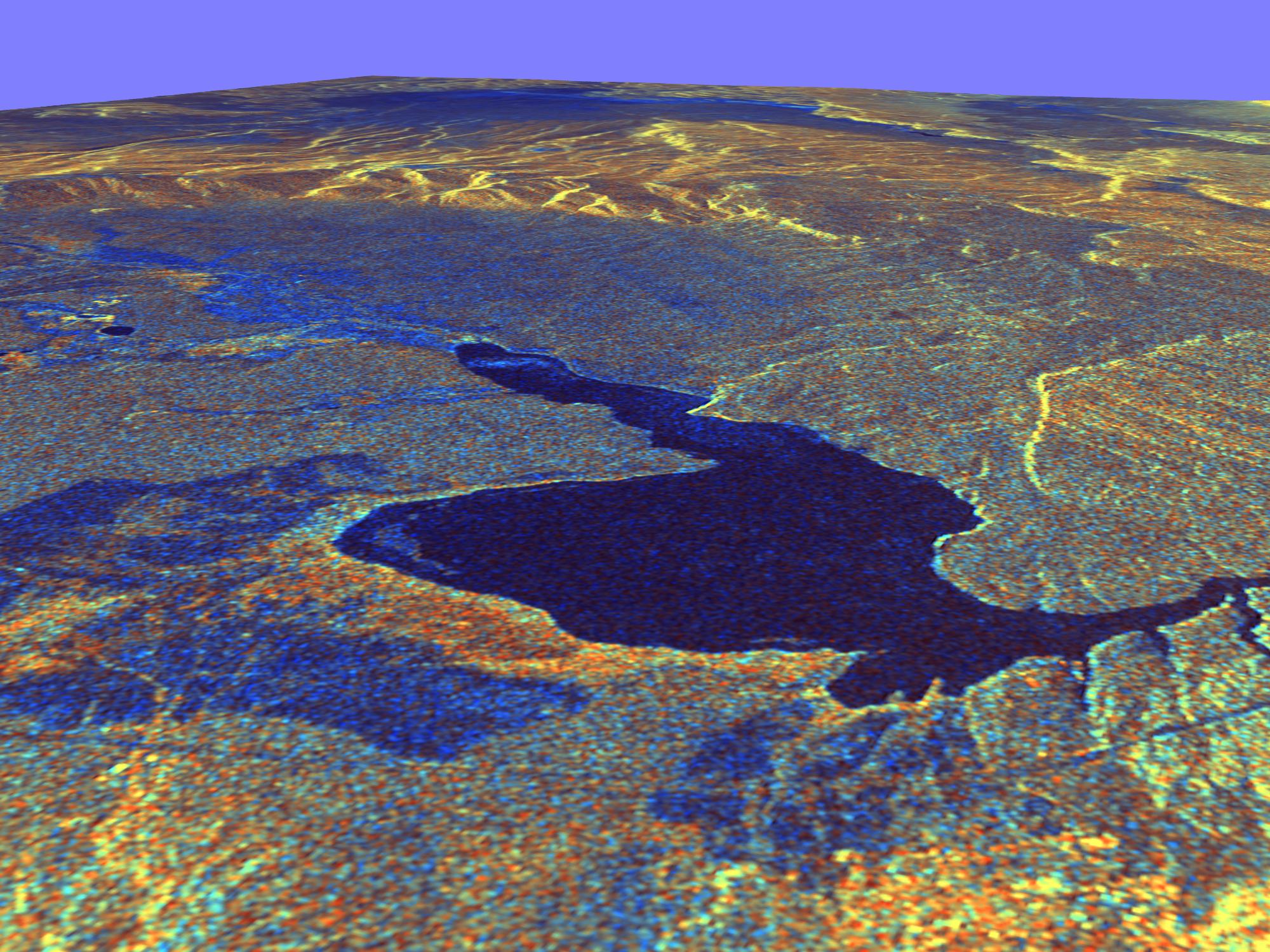
Perspective view of shaded relief, color as height, Patagonia, Argentina
Full Resolution:
TIFF
(5.989 MB)
JPEG
(459.9 kB)
|
|
|
2000-02-20 |
Earth
|
Landsat
Shuttle Radar Topography Mission (SRTM)
|
C-Band Interferometric Radar
Thematic Mapper
|
940x658x3 |
|
-
PIA02728:
-
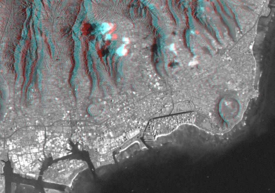
Anaglyph, Landsat overlay Honolulu, Hawaii
Full Resolution:
TIFF
(1.436 MB)
JPEG
(112.3 kB)
|
|
|
2000-02-20 |
Earth
|
Landsat
Shuttle Radar Topography Mission (SRTM)
|
C-Band Interferometric Radar
Thematic Mapper
|
1430x1152x3 |

|
-
PIA02727:
-
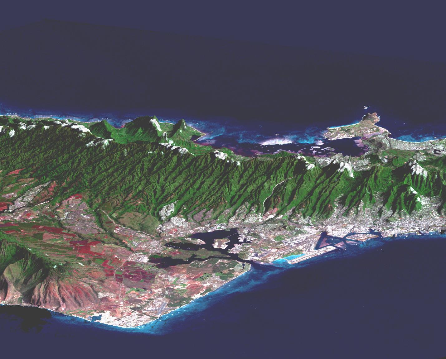
Perspective view, Landsat Overlay Oahu, Hawaii
Full Resolution:
TIFF
(2.192 MB)
JPEG
(217.2 kB)
|
|
|
2000-02-20 |
Earth
|
Shuttle Radar Topography Mission (SRTM)
|
C-Band Interferometric Radar
|
1965x1347x3 |
|
-
PIA02726:
-
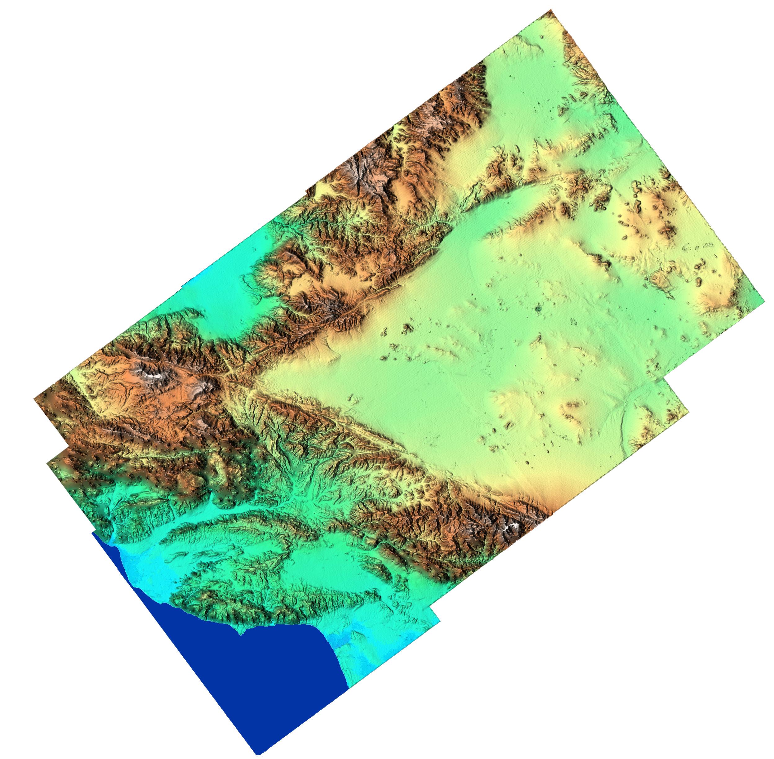
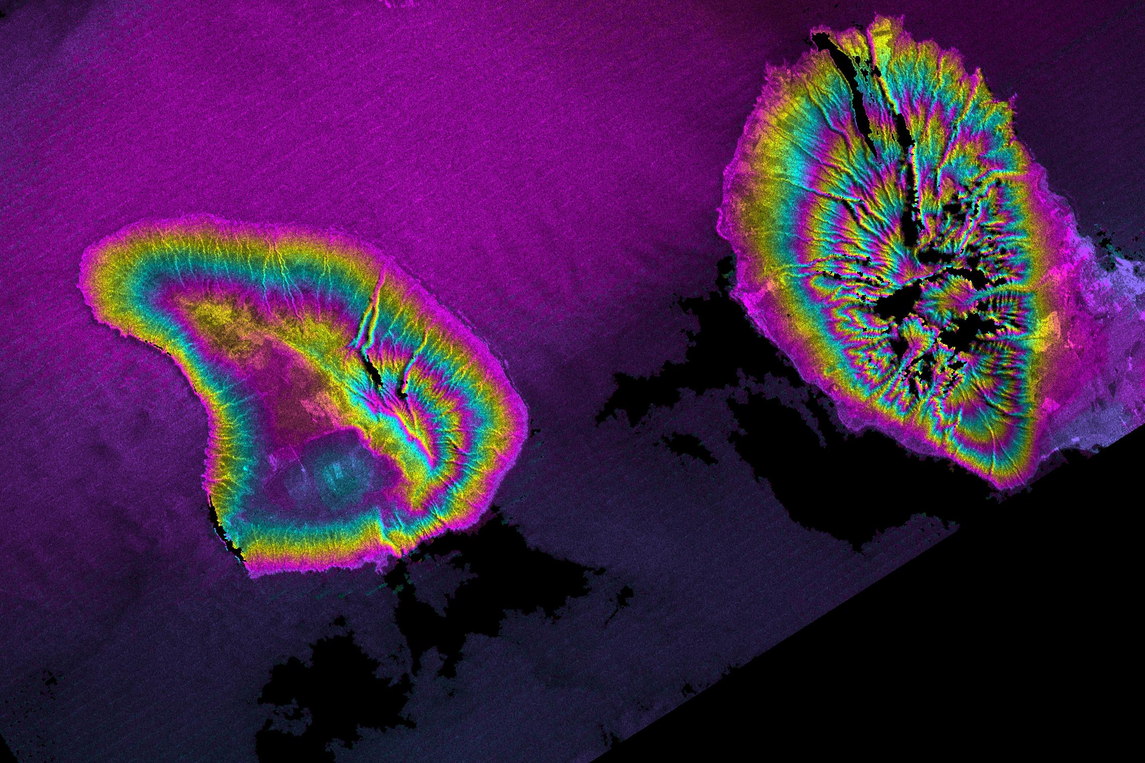
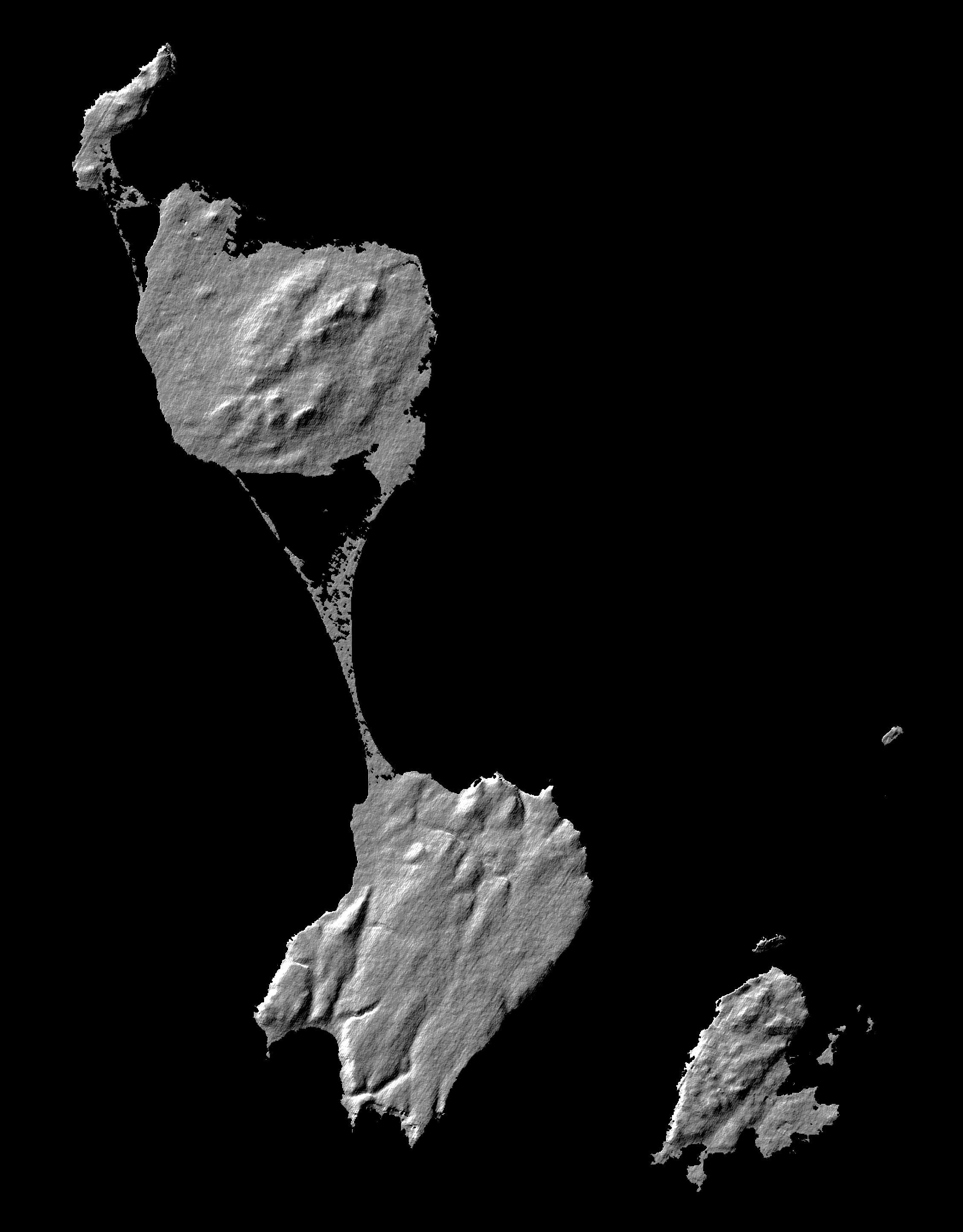
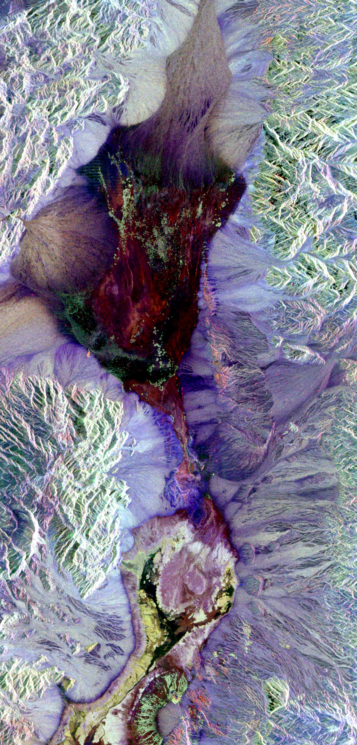
Shaded relief, color as height Patagonia, Argentina
Full Resolution:
TIFF
(9.036 MB)
JPEG
(857.3 kB)
|
|
|
2000-02-19 |
Earth
|
Shuttle Radar Topography Mission (SRTM)
|
C-Band Interferometric Radar
|
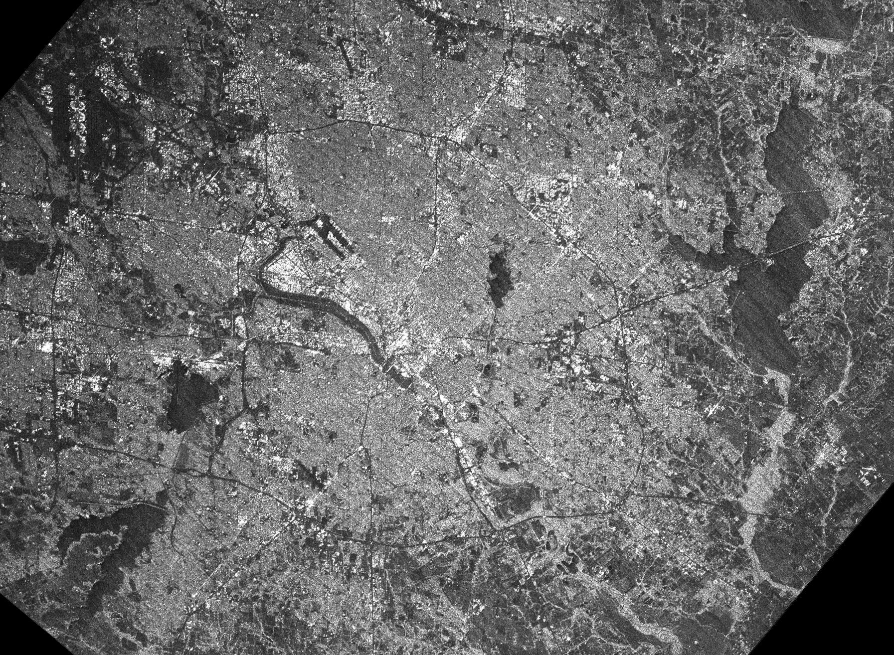
1793x1314x1 |
|
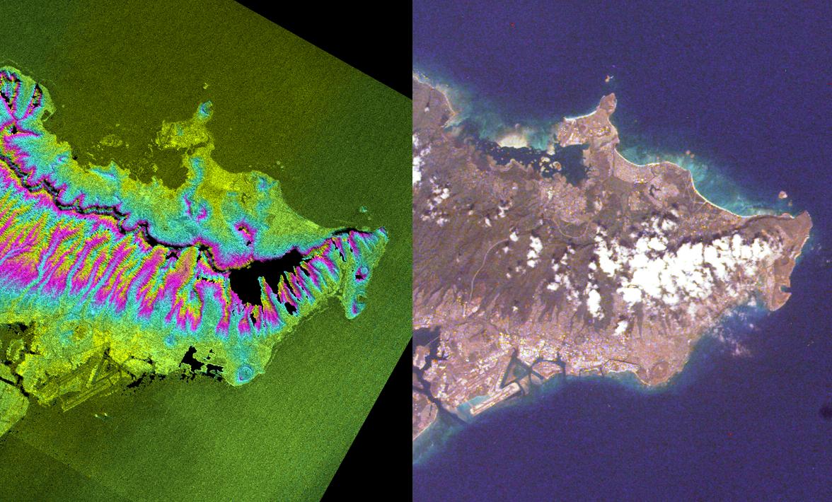
-
PIA02722:
-
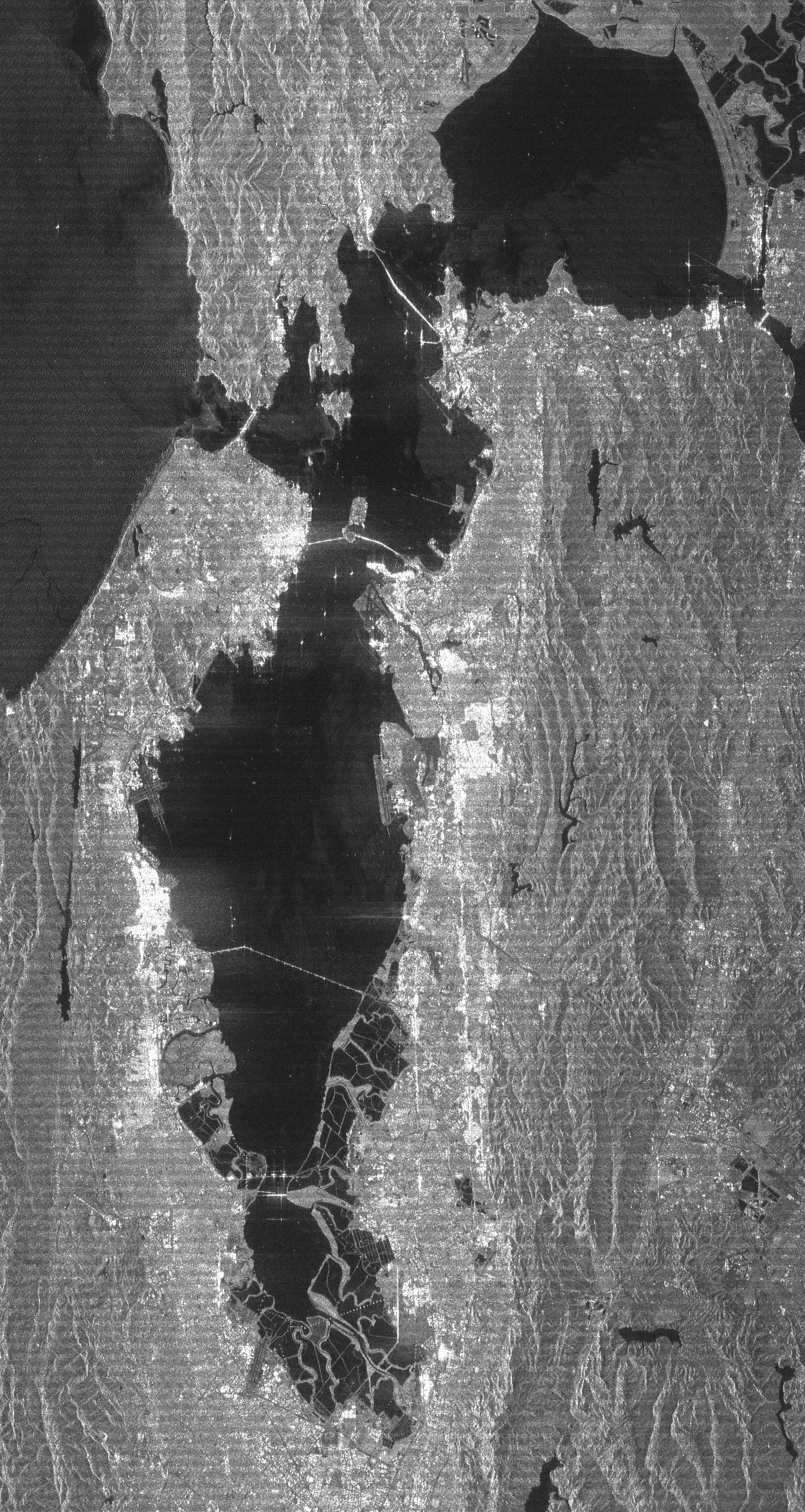
C-Band Radar Imagery, Dallas-Fort Worth, Texas
Full Resolution:
TIFF
(2.885 MB)
JPEG
(804.4 kB)
|
|
|
2000-02-19 |
Earth
|
Shuttle Radar Topography Mission (SRTM)
|
C-Band Interferometric Radar
|
1877x1676x3 |
|
-
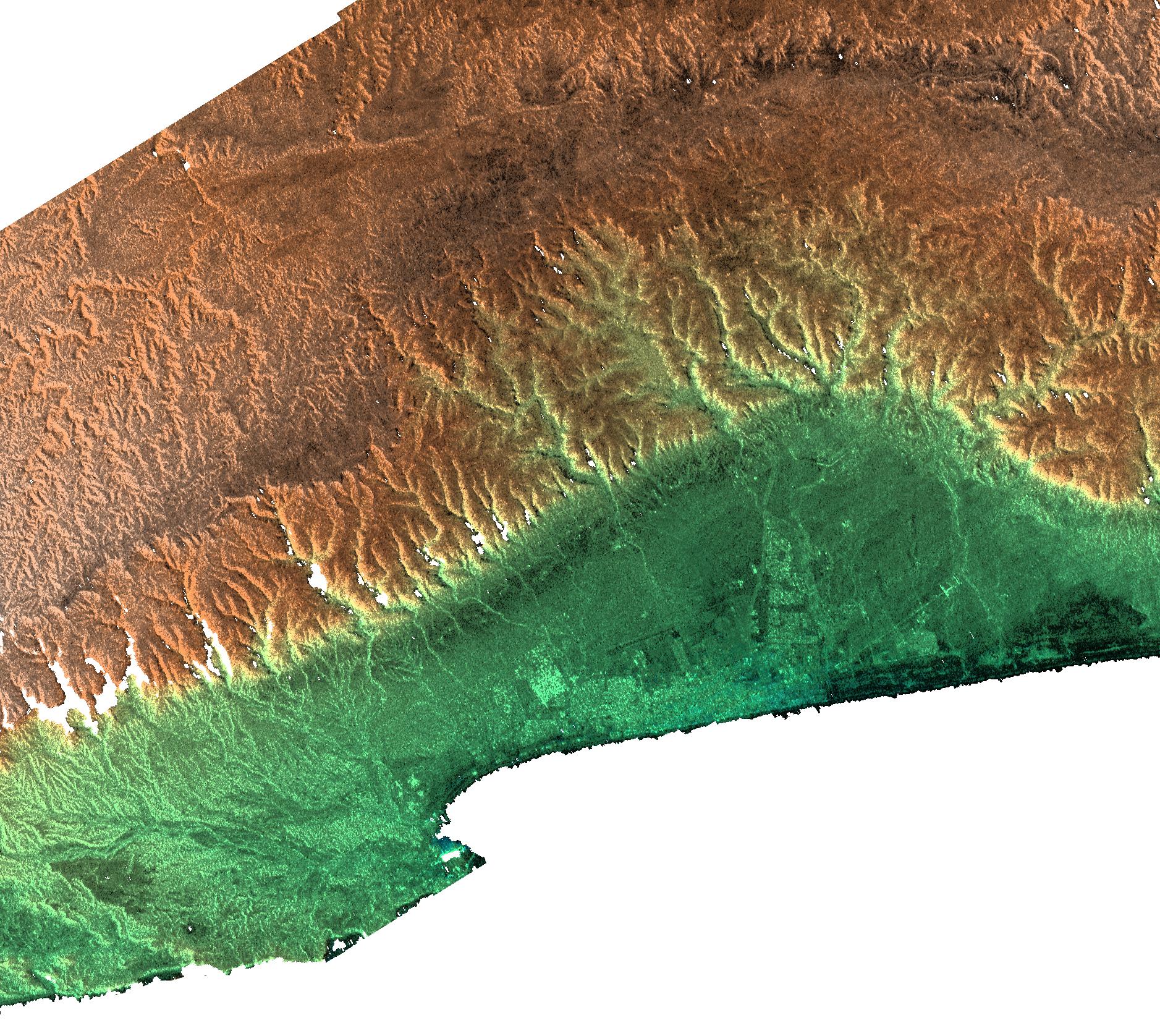
PIA02725:
-
Radar Image, Color as Height , Salalah, Oman
Full Resolution:
TIFF
(6.929 MB)
JPEG
(809.5 kB)
|
|
|
2000-02-19 |
Earth
|
Shuttle Radar Topography Mission (SRTM)
|
C-Band Interferometric Radar
|
1319x1062x3 |

|
-
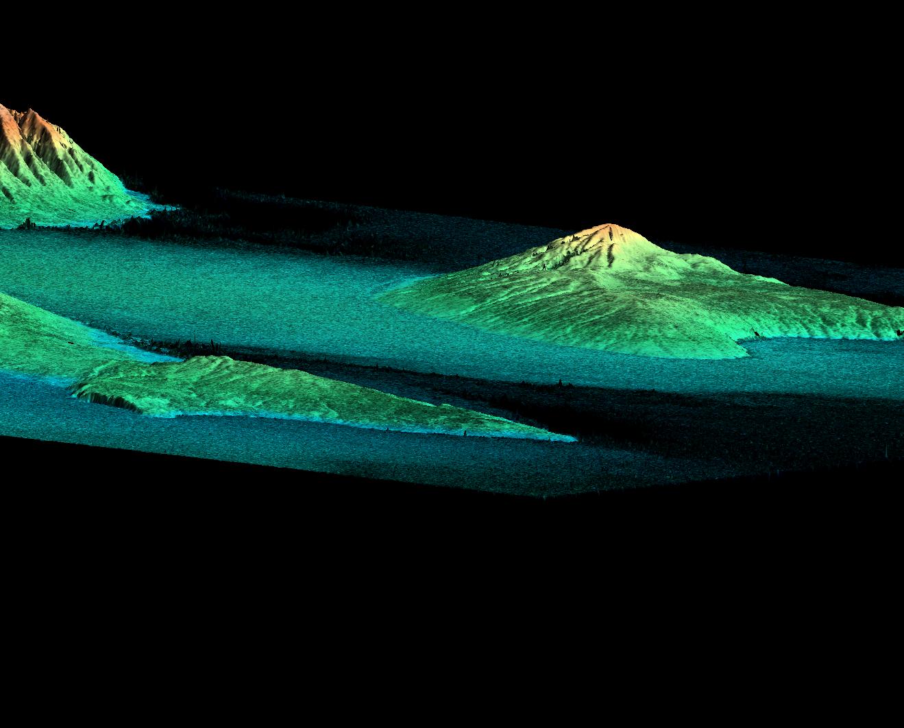
PIA02724:
-
Perspective View, Radar Image, Color as Height, Molokai, Lanai and Maui, Hawaii
Full Resolution:
TIFF
(1.541 MB)
JPEG
(141.2 kB)
|
|
|
2000-02-19 |
Earth
|
Shuttle Radar Topography Mission (SRTM)
|
C-Band Interferometric Radar
|
2273x1515x3 |
|
-
PIA02723:
-
Radar Image, Wrapped Color as Height, Lanai and West Maui, Hawaii
Full Resolution:
TIFF
(1.881 MB)
JPEG
(676.5 kB)
|
|
|
2000-02-18 |
Earth
|
Shuttle Radar Topography Mission (SRTM)
|
C-Band Interferometric Radar
|
737x797x3 |
|
-
PIA02721:
-
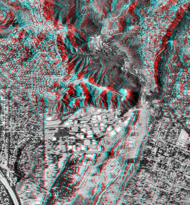
Pasadena, California Anaglyph with Aerial Photo Overlay
Full Resolution:
TIFF
(1.749 MB)
JPEG
(218.8 kB)
|
|
|
2000-02-18 |
Earth
|
Shuttle Radar Topography Mission (SRTM)
|
C-Band Interferometric Radar
|
1856x1852x3 |
|
-
PIA02720:
-
Honolulu, Hawaii Radar Image, Wrapped Color as Height
Full Resolution:
TIFF
(2.443 MB)
JPEG
(1.319 MB)
|
|
|
2000-02-18 |
Earth
|
Landsat
Shuttle Radar Topography Mission (SRTM)
|
C-Band Interferometric Radar
Thematic Mapper
|
1939x1999x3 |
|
-
PIA02718:
-
Pasadena, California Perspective View with Aerial Photo and Landsat Overlay
Full Resolution:
TIFF
(10.26 MB)
JPEG
(872.3 kB)
|
|
|
2000-02-18 |
Earth
|
Landsat
Shuttle Radar Topography Mission (SRTM)
|
C-Band Interferometric Radar
Thematic Mapper
|
1363x2200x3 |
|
-
PIA02717:
-
Kamchatka Peninsula, Russia 3-D Perspective with Landsat Overlay
Full Resolution:
TIFF
(8.536 MB)
JPEG
(860.9 kB)
|
|
|
2000-02-17 |
Earth
|
Shuttle Radar Topography Mission (SRTM)
|
C-Band Interferometric Radar
|
1059x722x3 |
|
-
PIA02711:
-
Simi Valley, California, Perspective View of Shaded Relief, Color as Height
Full Resolution:
TIFF
(2.166 MB)
JPEG
(207.8 kB)
|
|
|
2000-02-17 |
Earth
|
Shuttle Radar Topography Mission (SRTM)
|
C-Band Interferometric Radar
|
1228x1093x3 |
|
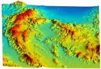
-
PIA02716:
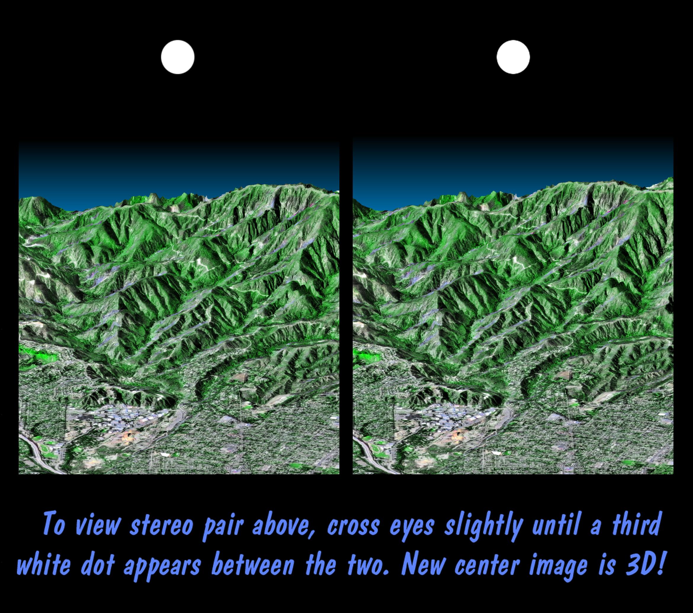
-
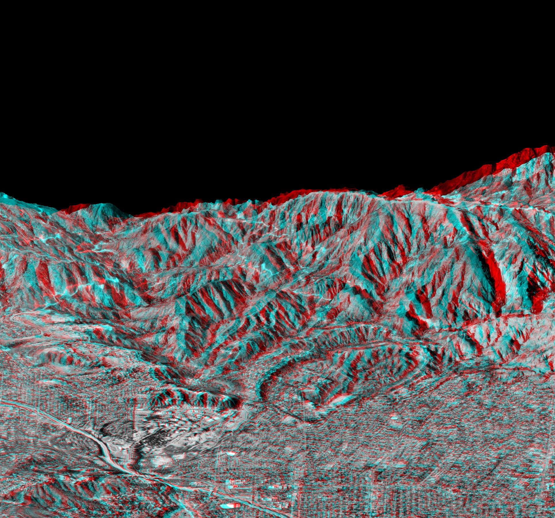
San Gabriel Mountains, California, Shaded relief, Color as Height
Full Resolution:
TIFF
(4.009 MB)
JPEG
(232.8 kB)
|
|
|
2000-02-17 |
Earth
|
Shuttle Radar Topography Mission (SRTM)
|
C-Band Interferometric Radar
|
1228x1093x3 |

|
-
PIA02715:
-
San Gabriel Mountains, California, Radar Image, Color as Height
Full Resolution:
TIFF
(3.906 MB)
JPEG
(326.9 kB)
|
|
|
2000-02-17 |
Earth
|
Shuttle Radar Topography Mission (SRTM)
|
C-Band Interferometric Radar
|
1357x982x3 |
|
-
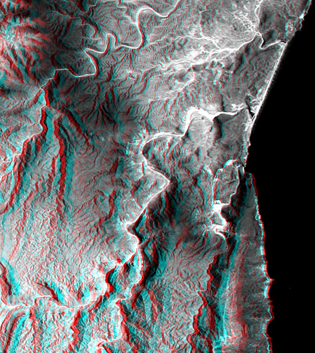
PIA02713:
-
Los Angeles, California, Radar Image, Wrapped Color as Height
Full Resolution:
TIFF
(1.232 MB)
JPEG
(587.3 kB)
|
|
|
2000-02-17 |
Earth
|
Shuttle Radar Topography Mission (SRTM)
|
C-Band Interferometric Radar
|
1749x4787x3 |

|
-
PIA02714:
-
San Andreas Fault, Southern California , Radar Image, Wrapped Color as Height
Full Resolution:
TIFF
(7.228 MB)
JPEG
(3.292 MB)
|
|
|
2000-02-17 |
Earth
|
Shuttle Radar Topography Mission (SRTM)
|
C-Band Interferometric Radar
|
1749x4787x3 |
|
-
PIA02712:
-
San Andreas Fault, Southern California, Shaded Relief, Wrapped Color as Height
Full Resolution:
TIFF
(6.467 MB)
JPEG
(2.572 MB)
|
|
|
2000-02-16 |
Earth
|
Shuttle Radar Topography Mission (SRTM)
|
C-Band Interferometric Radar
|
1881x2650x3 |
|
-
PIA02710:
-
Shaded Relief Color Wrapped, Kamchatka Peninsula, Russia
Full Resolution:
TIFF
(2.271 MB)
JPEG
(868.8 kB)
|
|
|
2000-02-16 |
Earth
|
Landsat
Shuttle Radar Topography Mission (SRTM)
|
C-Band Interferometric Radar
Thematic Mapper
|
1412x1588x3 |
|
-
PIA02709:
-
Anaglyph with Landsat Overlay, Kamchatka Peninsula, Russia
Full Resolution:
TIFF
(6.288 MB)
JPEG
(309.4 kB)
|
|
|
2000-02-16 |
Earth
|
Shuttle Radar Topography Mission (SRTM)
|
C-Band Interferometric Radar
|
2384x3021x3 |
|
-
PIA02708:
-
Shaded Relief, Kamchatka Peninsula, Russia
Full Resolution:
TIFF
(20.34 MB)
JPEG
(1.485 MB)
|
|
|
2000-02-16 |
Earth
|
Shuttle Radar Topography Mission (SRTM)
|
C-Band Interferometric Radar
|
1383x962x3 |
|
-
PIA02707:
-
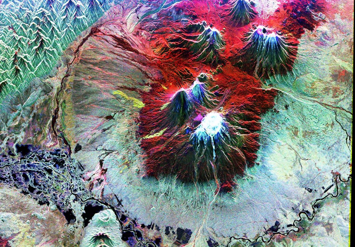
Perspective View, Kamchatka Peninsula, Russia
Full Resolution:
TIFF
(2.612 MB)
JPEG
(219.9 kB)
|
|
|
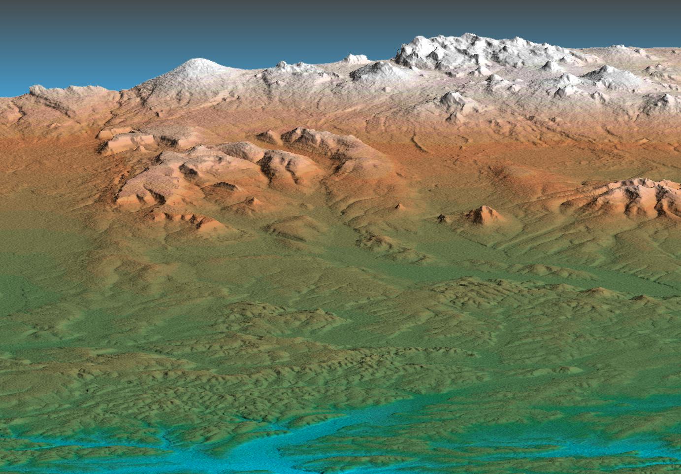
2000-02-15 |
Earth
|
Shuttle Radar Topography Mission (SRTM)
|
C-Band Interferometric Radar
|
2400x2938x3 |

|
-
PIA02706:
-
Shaded Relief of South Africa, Northern Cape Province
Full Resolution:
TIFF
(24.95 MB)
JPEG
(2.451 MB)
|
|
|
2000-02-15 |
Earth
|
Shuttle Radar Topography Mission (SRTM)
|
C-Band Interferometric Radar
|
2062x1194x3 |

|
-
PIA02705:
-
Radar Image with Color as Height, Bahia State, Brazil
Full Resolution:
TIFF
(7.958 MB)
JPEG
(497.6 kB)
|
|
|
2000-02-15 |
Earth
|
Shuttle Radar Topography Mission (SRTM)
|
C-Band Interferometric Radar
|
2056x1194x3 |
|
-
PIA02704:
-
Shaded Relief of Bahia State, Brazil
Full Resolution:
TIFF
(8.391 MB)
JPEG
(1.179 MB)
|
|
|
2000-02-14 |
Earth
|
Shuttle Radar Topography Mission (SRTM)
|
C-Band Interferometric Radar
|
2257x2887x1 |

|
-
PIA02703:
-
Shaded Relief Image of Saint Pierre and Miquelon
Full Resolution:
TIFF
(633 kB)
JPEG
(328.2 kB)
|
|
|
2000-02-14 |
Earth
|
Landsat
Shuttle Radar Topography Mission (SRTM)
|
C-Band Interferometric Radar
Thematic Mapper
|
3835x904x3 |
|
-
PIA02702:
3-D perspective of Saint Pierre and Miquelon Islands
Full Resolution:
TIFF
(5.571 MB)
JPEG
(258.4 kB)
|
|
|
2000-02-14 |
Earth
|
Shuttle Radar Topography Mission (SRTM)
|
C-Band Interferometric Radar
|
1890x2270x1 |
|
-
PIA02701:
-
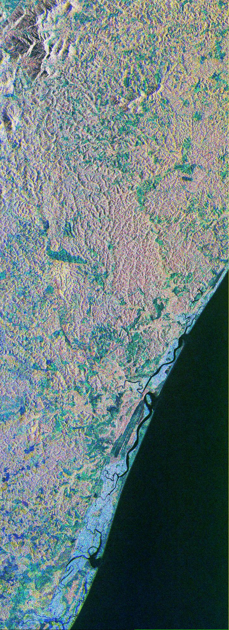
Radar Image of Rio Sao Francisco, Brazil
Full Resolution:
TIFF
(4.91 MB)
JPEG
(828.3 kB)
|
|
|
2000-02-14 |
Earth
|
Shuttle Radar Topography Mission (SRTM)
|
C-Band Interferometric Radar
|
2400x2781x3 |
|
-
PIA02700:
-
Shaded Relief of Rio Sao Francisco, Brazil
Full Resolution:
TIFF
(22.27 MB)
JPEG
(1.606 MB)
|
|
|
1999-09-27 |
Earth
|
Spaceborne Imaging Radar-C/X-Band Synthetic Aperture Radar
|
L-Band Imaging Radar
|
1200x2501x3 |

|
-
PIA01349:
-
Color Image of Death Valley, California from SIR-C
Full Resolution:
TIFF
(9.941 MB)
JPEG
(684.4 kB)
|
|
|
1999-06-25 |
Earth
|
Spaceborne Imaging Radar-C/X-Band Synthetic Aperture Radar
|
|
1536x1024x3 |
|
-
PIA01747:
-
Space Radar Image of Kennedy Space Center, Florida
Full Resolution:
TIFF
(1.15 MB)
JPEG
(307.3 kB)
|
|
|
1999-05-01 |
Earth
|
Spaceborne Imaging Radar-C/X-Band Synthetic Aperture Radar
|
|
3536x5297x3 |
|
-
PIA01835:
-
Space Radar Image of Orange County, California (Annotated Version)
Full Resolution:
TIFF
(68.47 MB)
JPEG
(5.452 MB)
|
|
|
1999-05-01 |
Earth
|
Spaceborne Imaging Radar-C/X-Band Synthetic Aperture Radar
|
|
2000x1600x3 |
|
-
PIA01785:
-
Space Radar Image of Long Island Optical/Radar
Full Resolution:
TIFF
(6.044 MB)
JPEG
(483.5 kB)
|
|
|
1999-05-01 |
Earth
|
Spaceborne Imaging Radar-C/X-Band Synthetic Aperture Radar
|
|
2250x4500x3 |
|
-
PIA01768:
-
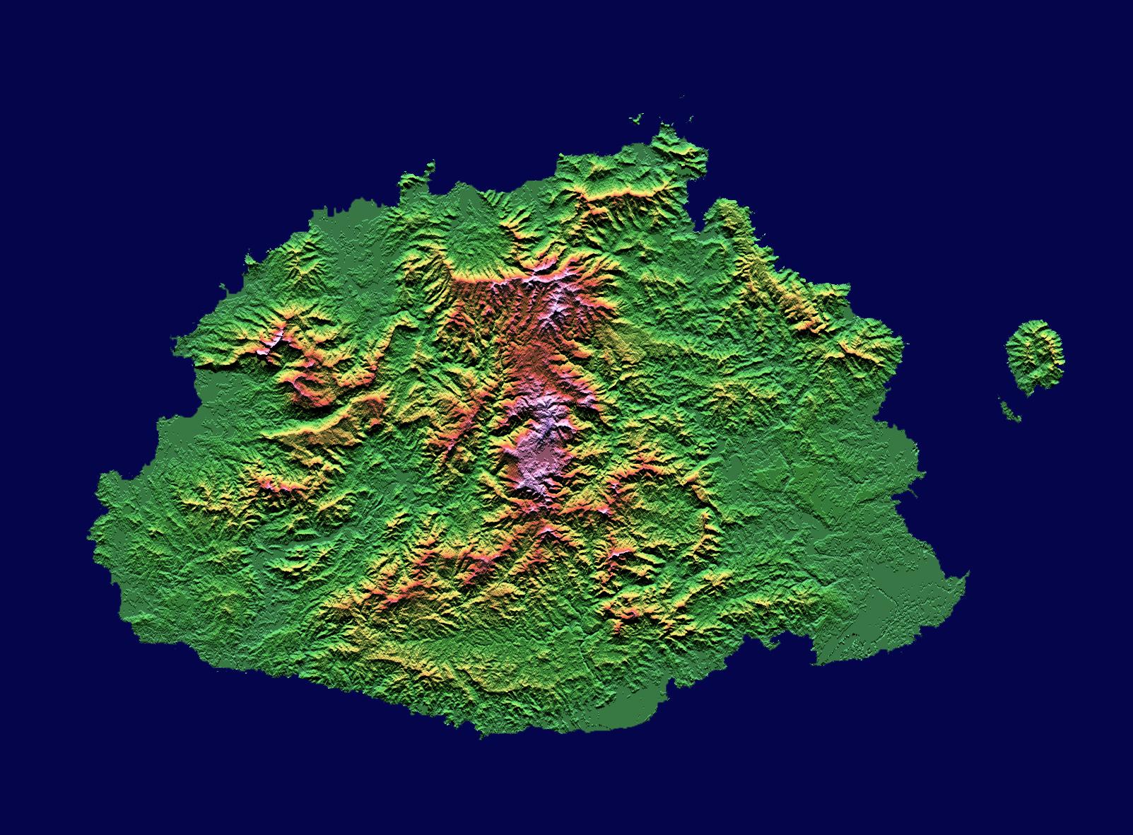
Space Radar Image of Taal Volcano, Philippines
Full Resolution:
TIFF
(32.45 MB)
JPEG
(3.934 MB)
|
|
|
1999-05-01 |
Earth
|
Spaceborne Imaging Radar-C/X-Band Synthetic Aperture Radar
|
|
1142x982x3 |
|
-
PIA01740:
-
Space Radar Image of Manaus Region of Brazil
Full Resolution:
TIFF
(1.705 MB)
JPEG
(359.3 kB)
|
|
|
1999-05-01 |
Earth
|
Spaceborne Imaging Radar-C/X-Band Synthetic Aperture Radar
|
|
952x1000x3 |
|
-
PIA01739:
-
Space Radar Image of Colima Volcano, Jalisco, Mexico
Full Resolution:
TIFF
(3.012 MB)
JPEG
(502.5 kB)
|
|
|
1999-05-01 |
Earth
|
Spaceborne Imaging Radar-C/X-Band Synthetic Aperture Radar
|
|
692x1326x1 |
|
-
PIA01738:
-
Space Radar Image of Los Angeles, California
Full Resolution:
TIFF
(1.092 MB)
JPEG
(315.9 kB)
|
|
|
1999-05-01 |
Earth
|
Spaceborne Imaging Radar-C/X-Band Synthetic Aperture Radar
|
|
756x2688x3 |

|
-
PIA01737:
-
Space Radar Image of Weddell Sea, Antarctica
Full Resolution:
TIFF
(8.193 MB)
JPEG
(1.143 MB)
|
|
|
1999-05-01 |
Earth
|
Spaceborne Imaging Radar-C/X-Band Synthetic Aperture Radar
|
|
916x807x3 |

|
-
PIA01736:
-
Space Radar Image of Karisoke & Virunga Volcanoes
Full Resolution:
TIFF
(2.857 MB)
JPEG
(375 kB)
|
|
|
1999-05-01 |
Earth
|
Spaceborne Imaging Radar-C/X-Band Synthetic Aperture Radar
|
|
788x983x3 |
|
-
PIA01735:
-
Space Radar Image of Manaus, Brazil
Full Resolution:
TIFF
(2.568 MB)
JPEG
(245.6 kB)
|
|
|
1999-05-01 |
Earth
|
Spaceborne Imaging Radar-C/X-Band Synthetic Aperture Radar
|
|
406x1000x3 |

|
-
PIA01755:
-
Space Radar Image of Lozere Department, Mende, France
Full Resolution:
TIFF
(1.565 MB)
JPEG
(161.6 kB)
|
|
|
1999-05-01 |
Earth
|
Spaceborne Imaging Radar-C/X-Band Synthetic Aperture Radar
|
X-Band Radar
|
1024x1024x1 |

|
-
PIA01763:
-
Space Radar Image of Kilauea, Hawaii - Interferometry 1
Full Resolution:
TIFF
(804.8 kB)
JPEG
(400 kB)
|
|
|
1999-05-01 |
Earth
|
Spaceborne Imaging Radar-C/X-Band Synthetic Aperture Radar
|
X-Band Radar
|
1840x2760x1 |
|
-
PIA01756:
-
Space Radar Image of Kennedy Space Center, Florida
Full Resolution:
TIFF
(5.548 MB)
JPEG
(1.394 MB)
|
|
|
1999-05-01 |
Earth
|
Spaceborne Imaging Radar-C/X-Band Synthetic Aperture Radar
|
|
664x750x1 |
|
-
PIA01752:
-
Space Radar Image of Moscow, Russia
Full Resolution:
TIFF
(597.2 kB)
JPEG
(164.4 kB)
|
|
|
1999-05-01 |
Earth
|
Spaceborne Imaging Radar-C/X-Band Synthetic Aperture Radar
|
|
692x1024x1 |
|
-
PIA01751:
-
Space Radar Image of San Francisco, California
Full Resolution:
TIFF
(732.2 kB)
JPEG
(182.2 kB)
|
|
|
1999-05-01 |
Earth
|
Spaceborne Imaging Radar-C/X-Band Synthetic Aperture Radar
|
|
2000x3000x1 |
|
-
PIA01750:
-
Space Radar Image of Hong Kong, China
Full Resolution:
TIFF
(6.07 MB)
JPEG
(1.256 MB)
|
|
|
1999-05-01 |
Earth
|
Spaceborne Imaging Radar-C/X-Band Synthetic Aperture Radar
|
|
1840x2750x1 |
|
-
PIA01748:
-
Space Radar Image of North Sea, Germany
Full Resolution:
TIFF
(5.621 MB)
JPEG
(2.262 MB)
|
|
|
1999-05-01 |
Earth
|
Spaceborne Imaging Radar-C/X-Band Synthetic Aperture Radar
|
|
1020x1020x1 |
|
-
PIA01745:
-
Space Radar Image of Glascow, Missouri
Full Resolution:
TIFF
(1.311 MB)
JPEG
(408.7 kB)
|
|
|
1999-05-01 |
Earth
|
Spaceborne Imaging Radar-C/X-Band Synthetic Aperture Radar
|
|
1375x892x1 |

|
-
PIA01729:
-
Space Radar Image of Chernobyl
Full Resolution:
TIFF
(1.478 MB)
JPEG
(399 kB)
|
|
|
1999-05-01 |
Earth
|
Spaceborne Imaging Radar-C/X-Band Synthetic Aperture Radar
|
|
3300x2550x3 |
|
-
PIA01770:
-
Space Radar Image of Long Valley, California - Interferometry/Topography
Full Resolution:
TIFF
(18.96 MB)
JPEG
(1.504 MB)
|
|
|
1999-05-01 |
Earth
|
Spaceborne Imaging Radar-C/X-Band Synthetic Aperture Radar
|
|
2000x1500x3 |

|
-
PIA01769:
-
Space Radar Image of Long Valley, California in 3-D
Full Resolution:
TIFF
(9.892 MB)
JPEG
(525.5 kB)
|
|
|
1999-05-01 |
Earth
|
Spaceborne Imaging Radar-C/X-Band Synthetic Aperture Radar
|
|
853x993x3 |
|
-
PIA01767:
-
Space Radar Image of Rabaul Volcano, New Guinea
Full Resolution:
TIFF
(2.166 MB)
JPEG
(198.8 kB)
|
|
|
1999-05-01 |
Earth
|
Spaceborne Imaging Radar-C/X-Band Synthetic Aperture Radar
|
|
2254x2248x3 |
|
-
PIA01766:
-
Space Radar Image of Kliuchevskoi Volcano,Russia
Full Resolution:
TIFF
(10.81 MB)
JPEG
(406 kB)
|
|
|
1999-05-01 |
Earth
|
Spaceborne Imaging Radar-C/X-Band Synthetic Aperture Radar
|
|
1202x835x3 |

|
-
PIA01765:
-
Space Radar Image of Kiluchevskoi, Volcano, Russia
Full Resolution:
TIFF
(3.894 MB)
JPEG
(401.4 kB)
|
|
|
1999-05-01 |
Earth
|
Spaceborne Imaging Radar-C/X-Band Synthetic Aperture Radar
|
|
740x2035x3 |

|
-
PIA01764:
-
Space Radar Image of Bahia
Full Resolution:
TIFF
(3.214 MB)
JPEG
(689 kB)
|
|
|
1999-05-01 |
Earth
|
Spaceborne Imaging Radar-C/X-Band Synthetic Aperture Radar
|
|
1024x1024x3 |
|
-
PIA01762:
-
Space Radar Image of Kilauea, Hawaii
Full Resolution:
TIFF
(2.69 MB)
JPEG
(520.1 kB)
|
|
|
1999-05-01 |
Earth
|
Spaceborne Imaging Radar-C/X-Band Synthetic Aperture Radar
|
|
1024x1024x3 |
|
-
PIA01761:
-
Space Radar Image of Kilauea Volcano, Hawaii
Full Resolution:
TIFF
(512.9 kB)
JPEG
(92.05 kB)
|
|
|
1999-05-01 |
Earth
|
Spaceborne Imaging Radar-C/X-Band Synthetic Aperture Radar
|
|
2290x1727x3 |
|
-
PIA01760:
-
Space Radar Image of Oetzal, Austria
Full Resolution:
TIFF
(13.96 MB)
JPEG
(1.09 MB)
|
|
|
1999-05-01 |
Earth
|
Spaceborne Imaging Radar-C/X-Band Synthetic Aperture Radar
|
|
1101x900x3 |
|
-
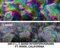
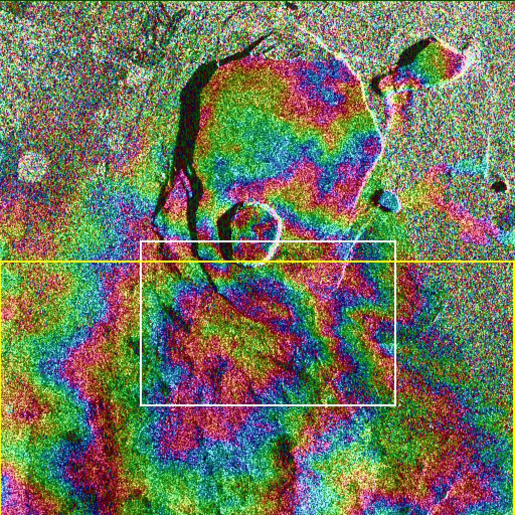
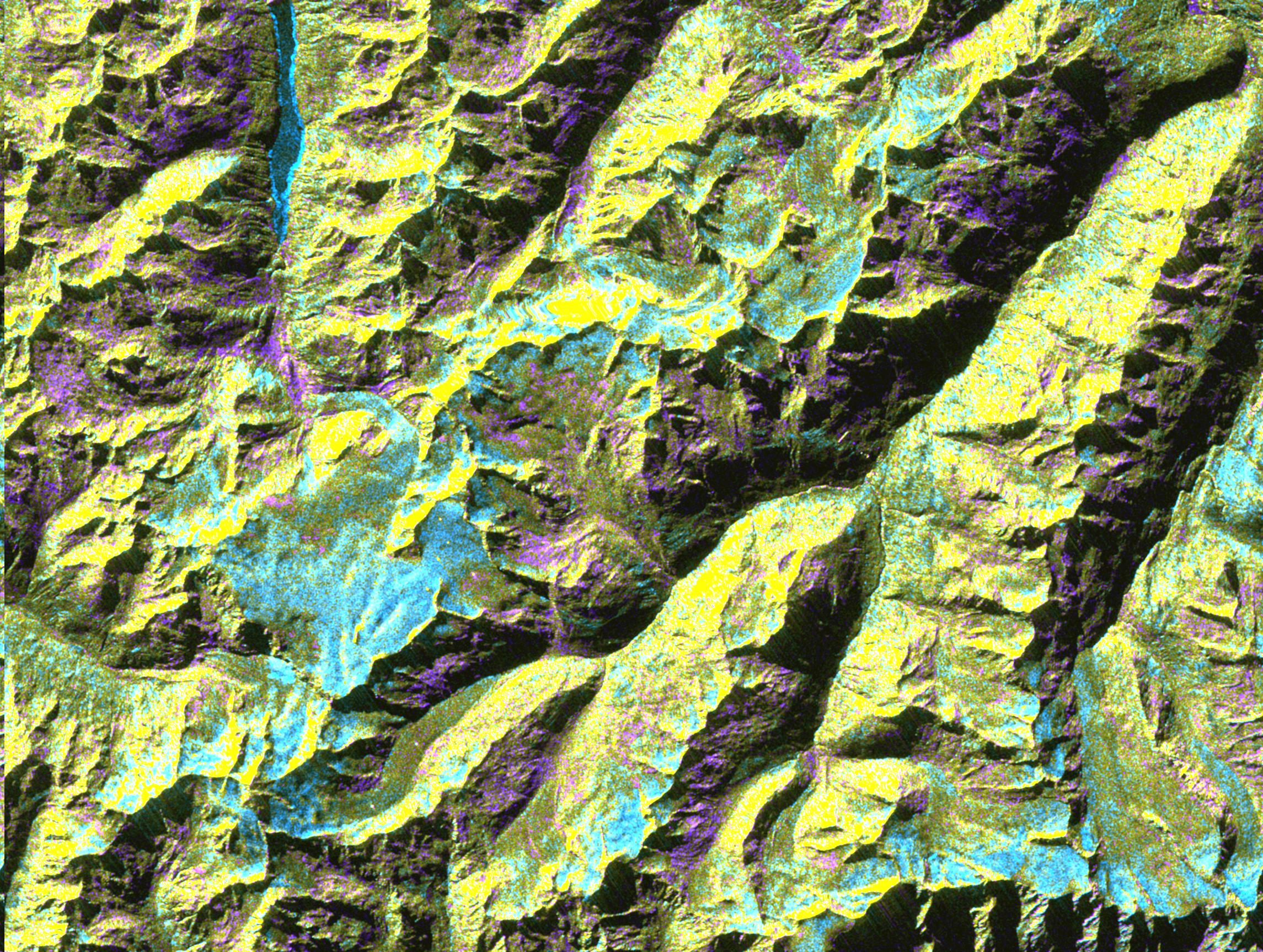
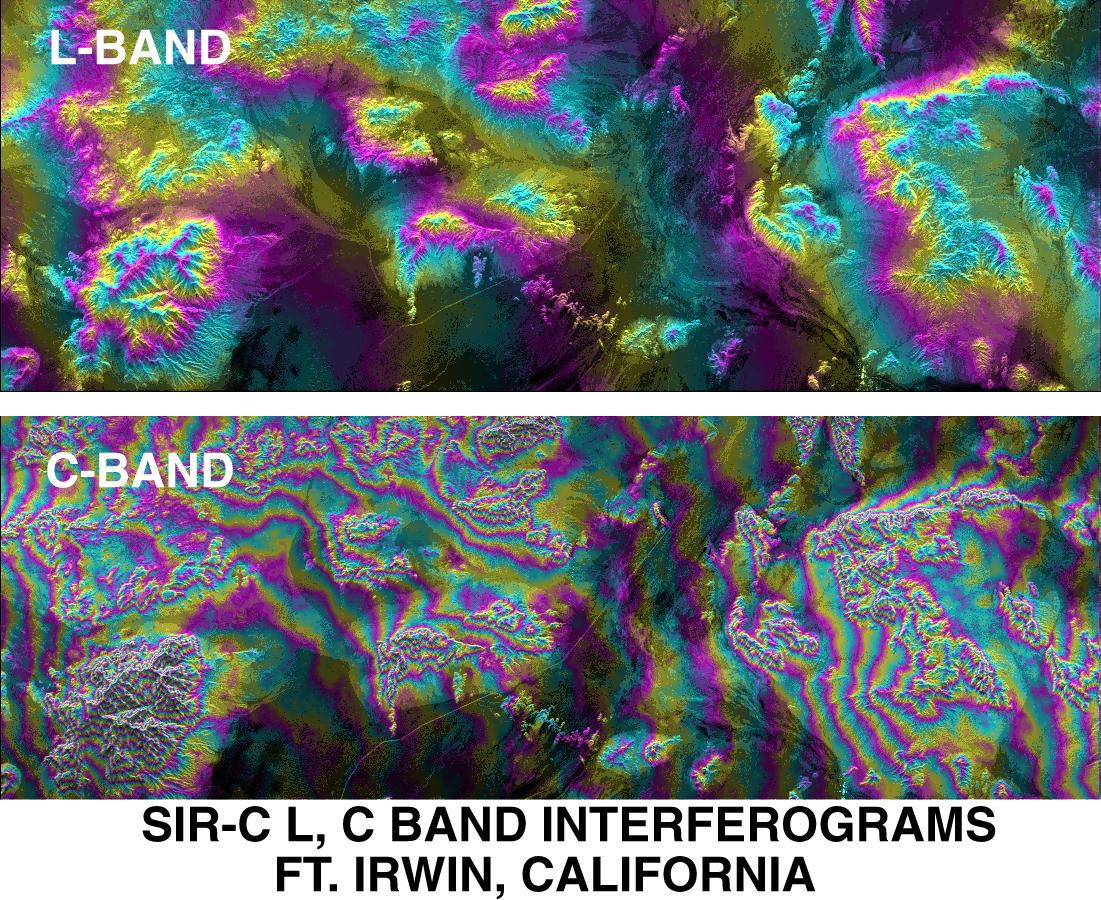
PIA01759:
-
SPace Radar Image of Fort Irwin, California
Full Resolution:
TIFF
(1.509 MB)
JPEG
(296.8 kB)
|
 Planetary Data System


