My
List |
Addition Date
|
Target
|
Mission
|
Instrument
|
Size
|

|
1999-01-27 |
Earth
|
Spaceborne Imaging Radar-C/X-Band Synthetic Aperture Radar
|
|
1075x2000x3 |

|
-
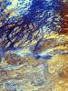
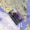
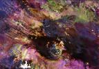
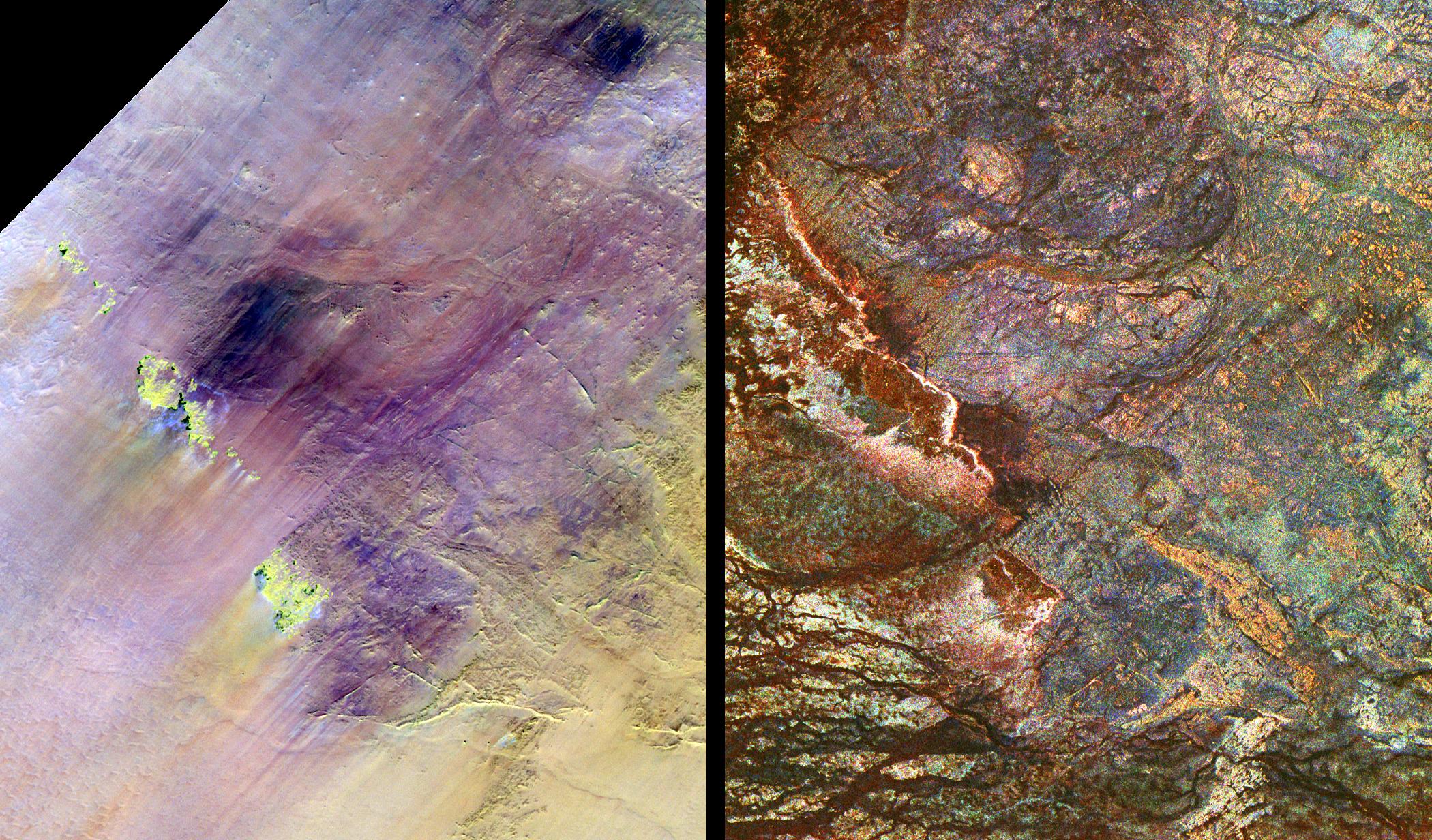
PIA01721:
-
Space Radar Image of the Lost City of Ubar
Full Resolution:
TIFF
(8.57 MB)
JPEG
(952.1 kB)
|
|
|
1999-01-27 |
Earth
|
Spaceborne Imaging Radar-C/X-Band Synthetic Aperture Radar
|
|
690x2309x1 |
|
-
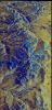
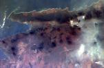
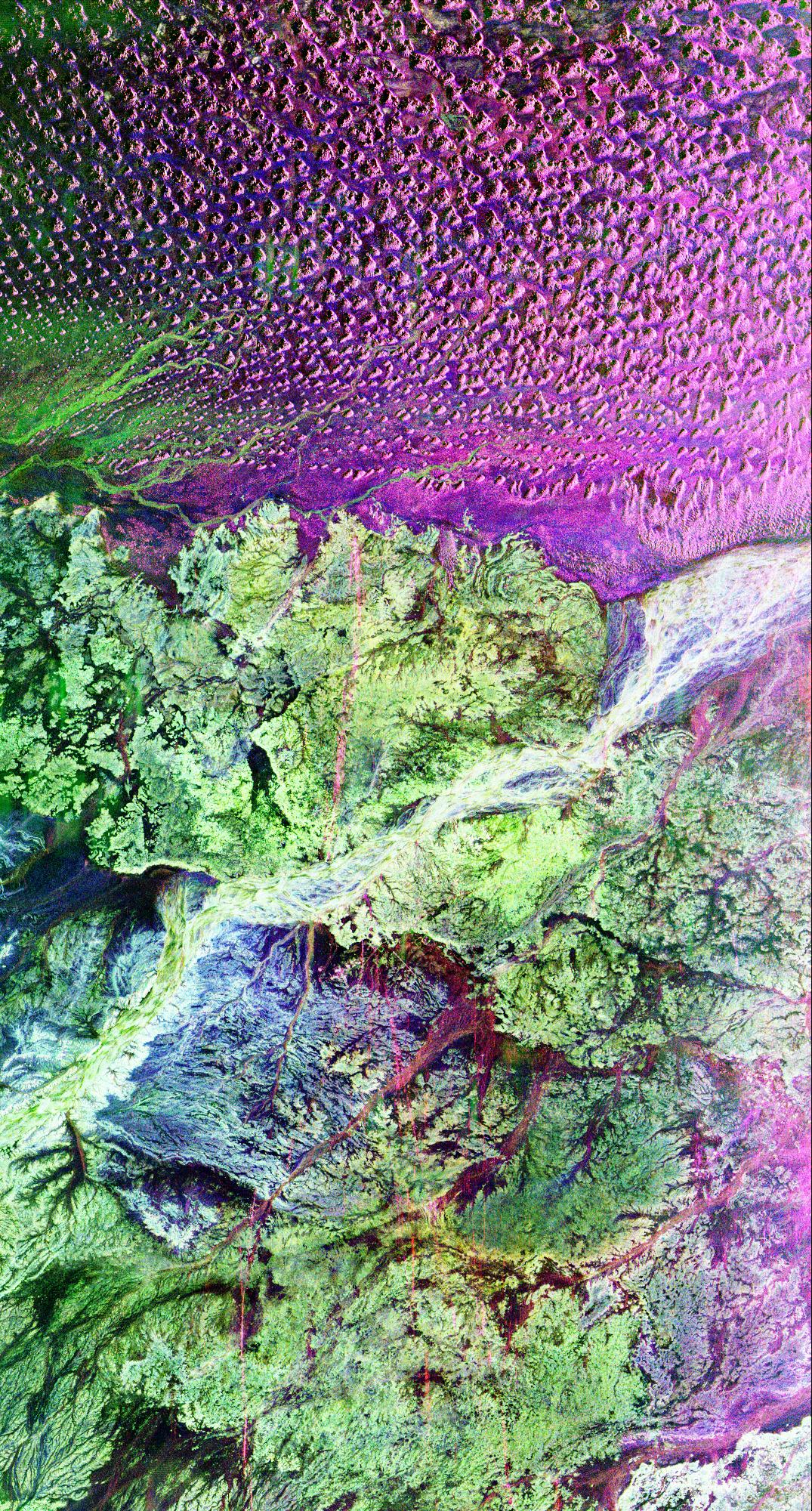
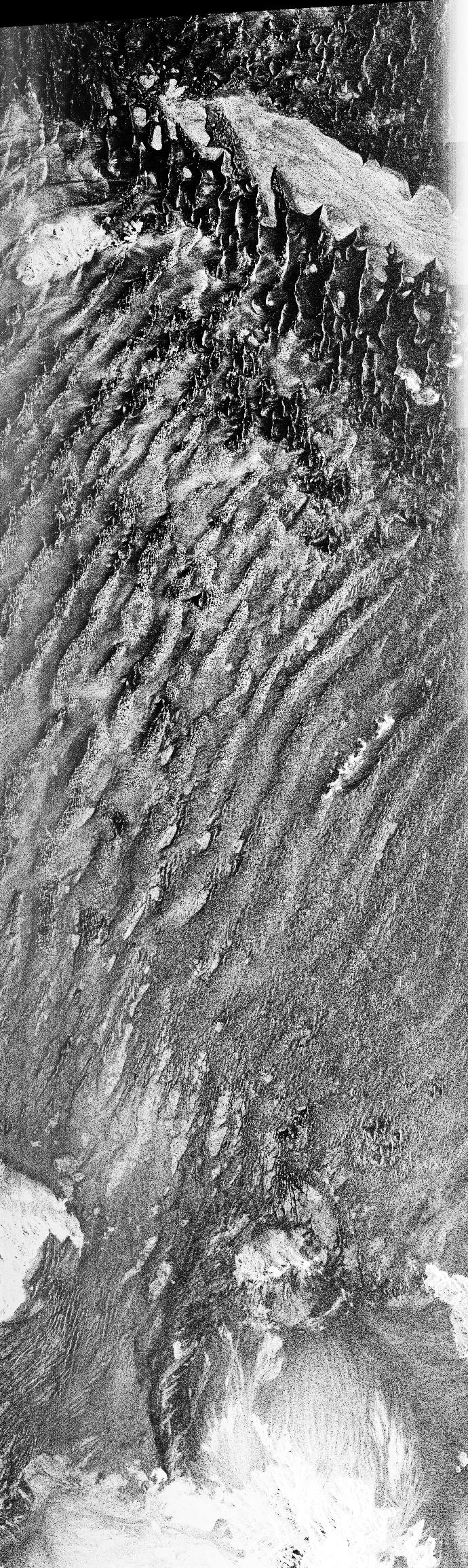
PIA01720:
-
Space Radar Image of Namib Desert in Southern Namib
Full Resolution:
TIFF
(1.742 MB)
JPEG
(721.2 kB)
|
|
|
1999-01-27 |
Earth
|
Spaceborne Imaging Radar-C/X-Band Synthetic Aperture Radar
|
|
1114x1295x3 |

|
-
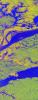
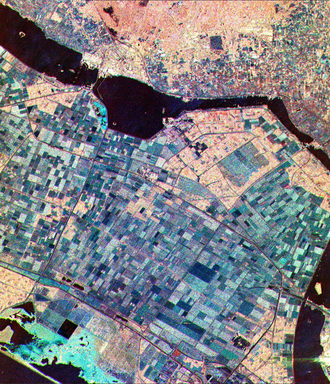
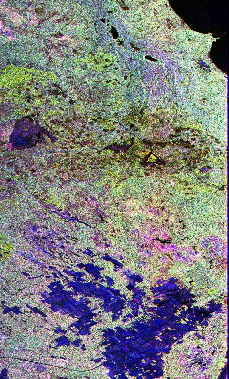
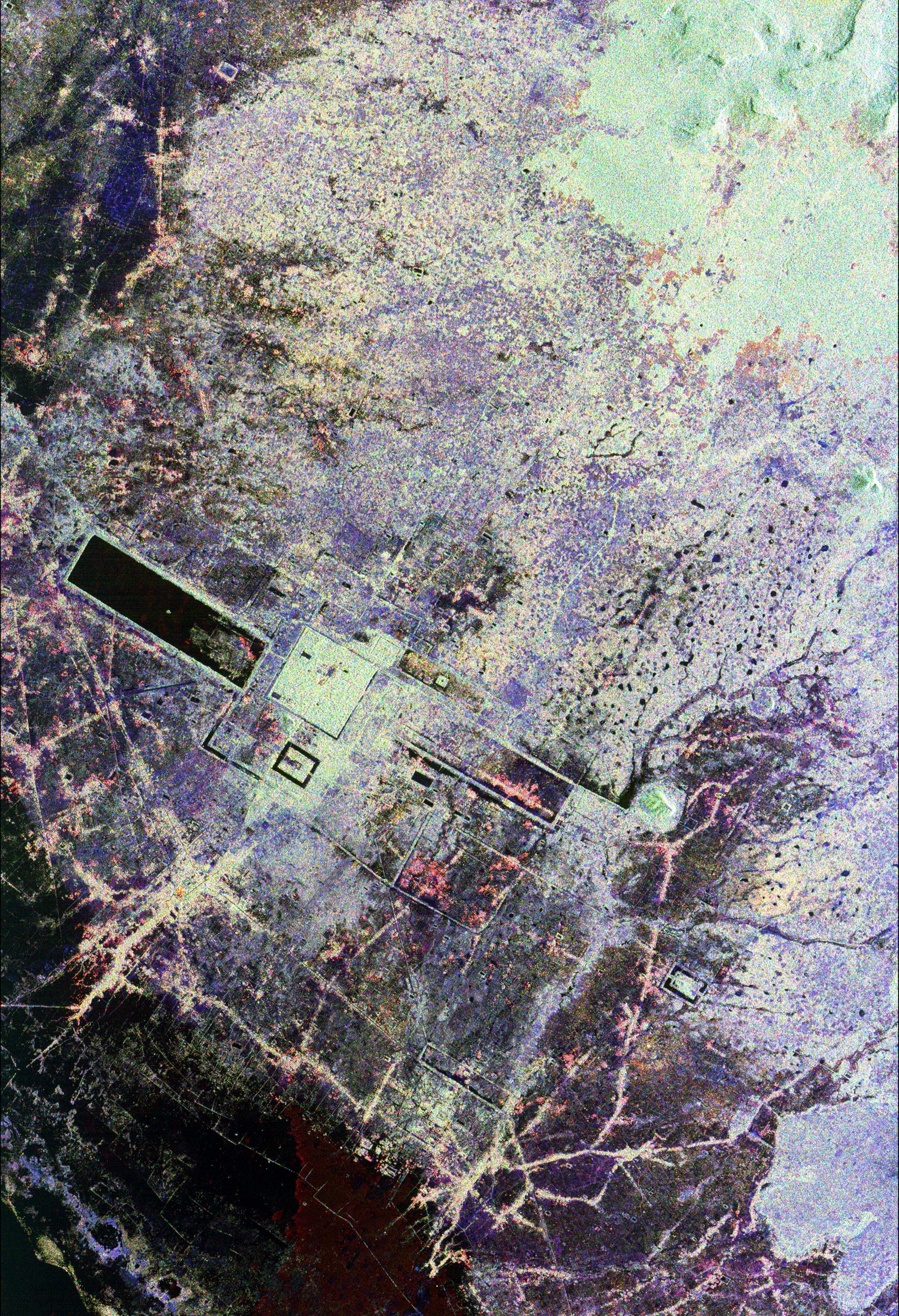
PIA01719:
-
Space Radar Image of Flevoland, Netherlands
Full Resolution:
TIFF
(5.552 MB)
JPEG
(713.3 kB)
|
|
|
1999-01-27 |
Earth
|
Spaceborne Imaging Radar-C/X-Band Synthetic Aperture Radar
|
|
1440x961x3 |
|
-
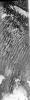
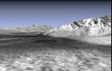
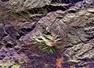
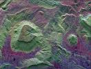
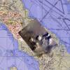
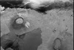
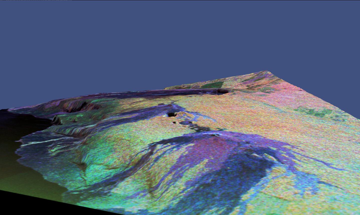
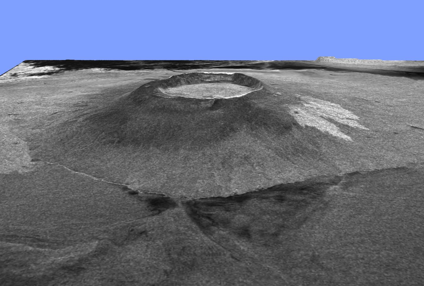
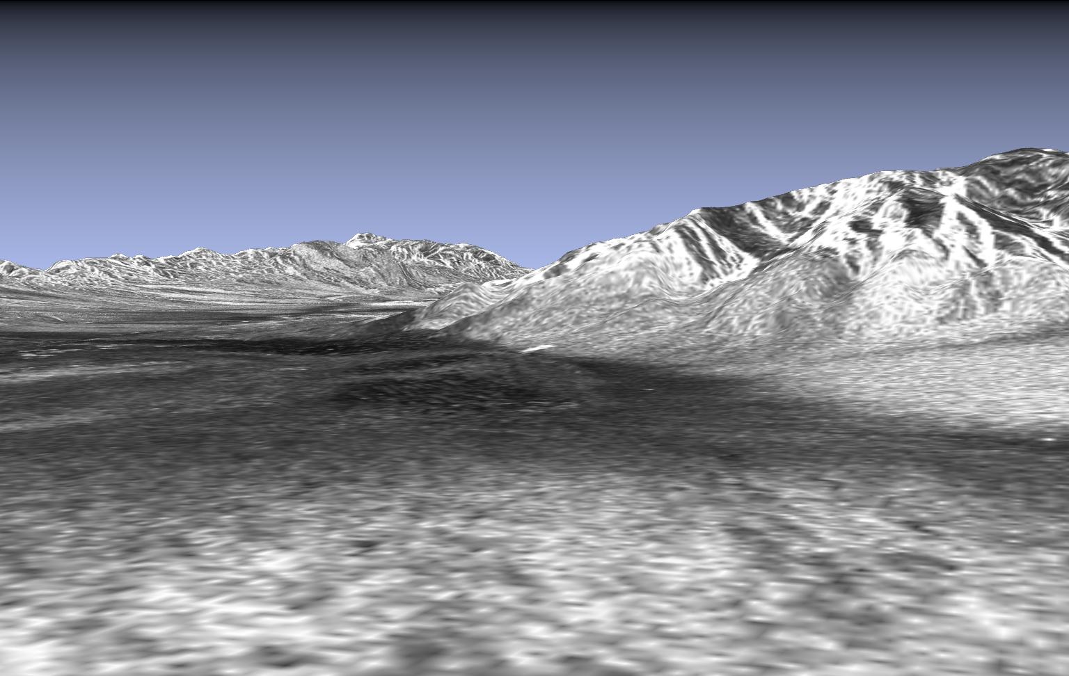
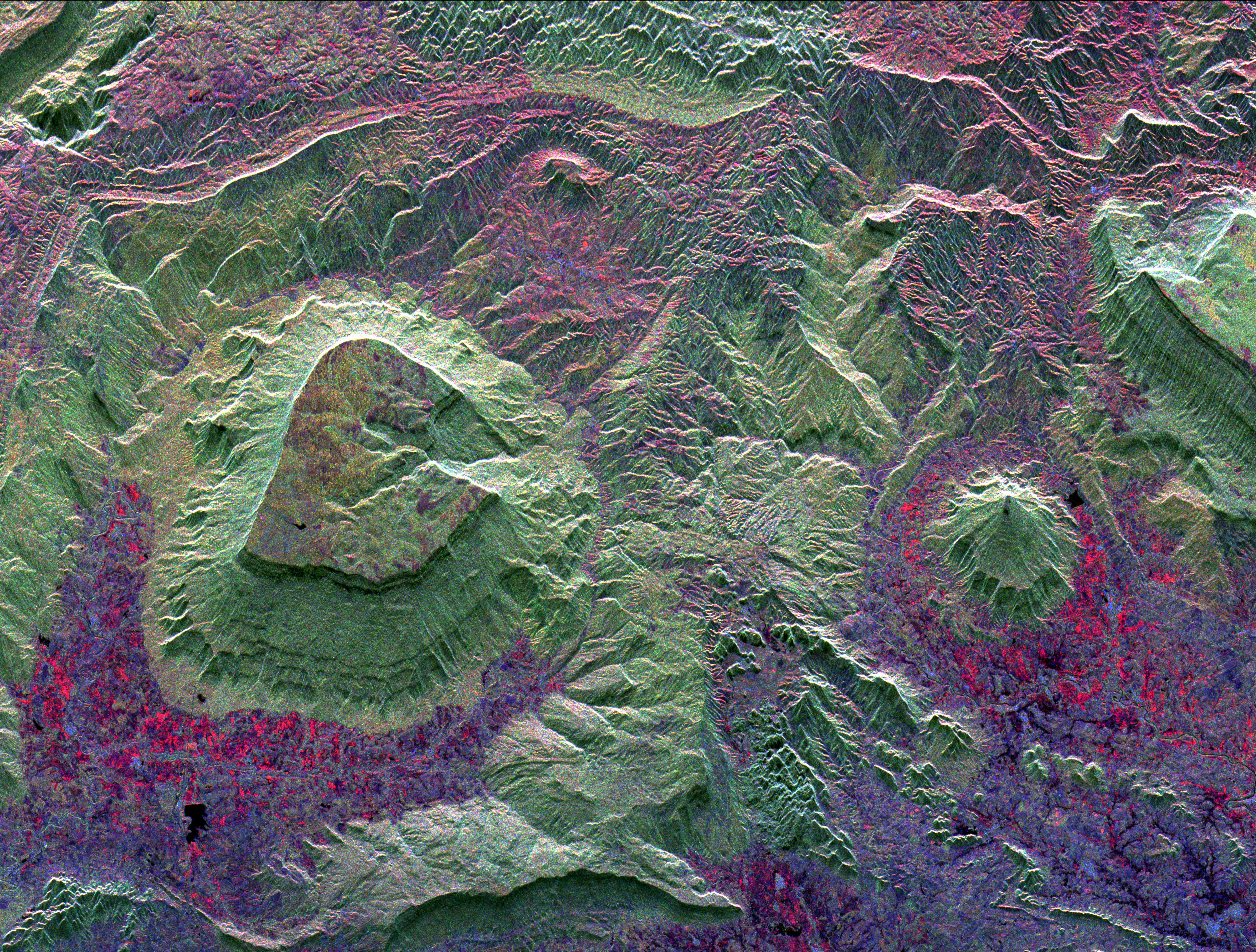
PIA01718:
-
Space Radar Image of Mammoth, California in 3-D
Full Resolution:
TIFF
(3.938 MB)
JPEG
(259.6 kB)
|
|
|
1999-01-27 |
Earth
|
Spaceborne Imaging Radar-C/X-Band Synthetic Aperture Radar
|
|
1440x862x3 |
|
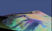
-
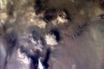
PIA01717:
-
Space Radar Image of Kilauea, Hawaii in 3-D
Full Resolution:
TIFF
(2.615 MB)
JPEG
(140.6 kB)
|
|
|
1999-01-27 |
Earth
|
Spaceborne Imaging Radar-C/X-Band Synthetic Aperture Radar
|
|
670x900x3 |
|
-
PIA01716:
-
Space Radar Image of Oberpfaffenhofen, Germany
Full Resolution:
TIFF
(2.316 MB)
JPEG
(228.1 kB)
|
|
|
1999-01-27 |
Earth
|
Spaceborne Imaging Radar-C/X-Band Synthetic Aperture Radar
|
|
1280x1024x3 |
|
-
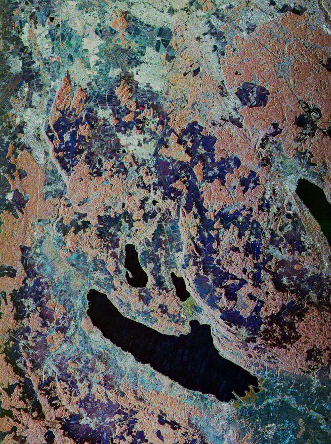
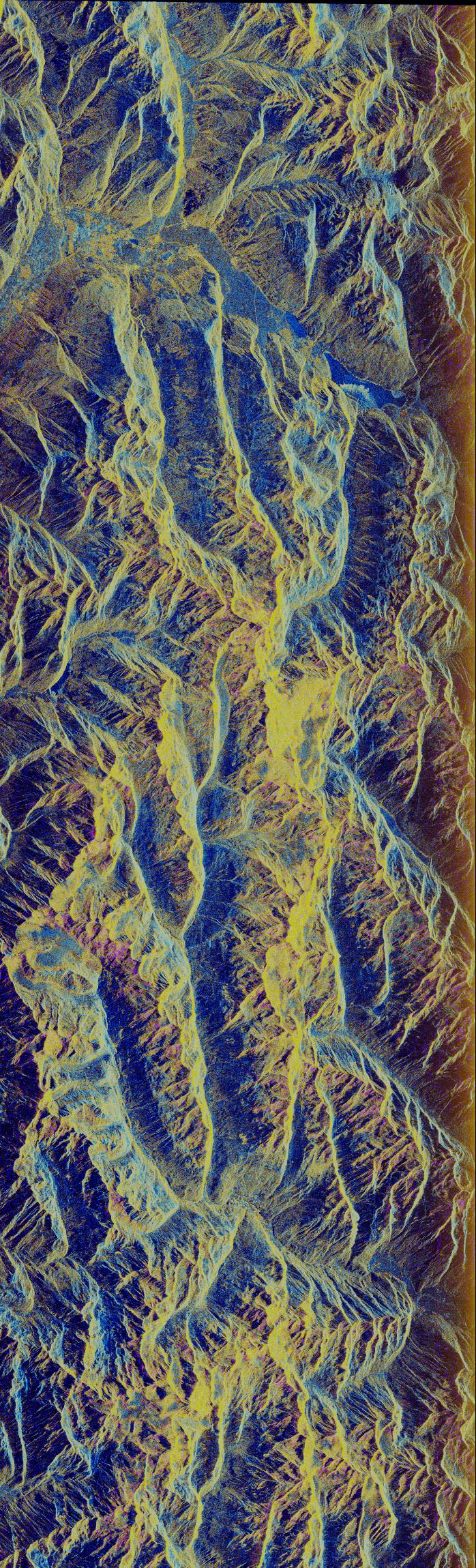
PIA01715:
-
Space Radar Image of Mammoth, California
Full Resolution:
TIFF
(1.8 MB)
JPEG
(315 kB)
|
|
|
1999-01-27 |
Earth
|
Spaceborne Imaging Radar-C/X-Band Synthetic Aperture Radar
|
|
1700x2200x3 |
|
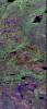
-
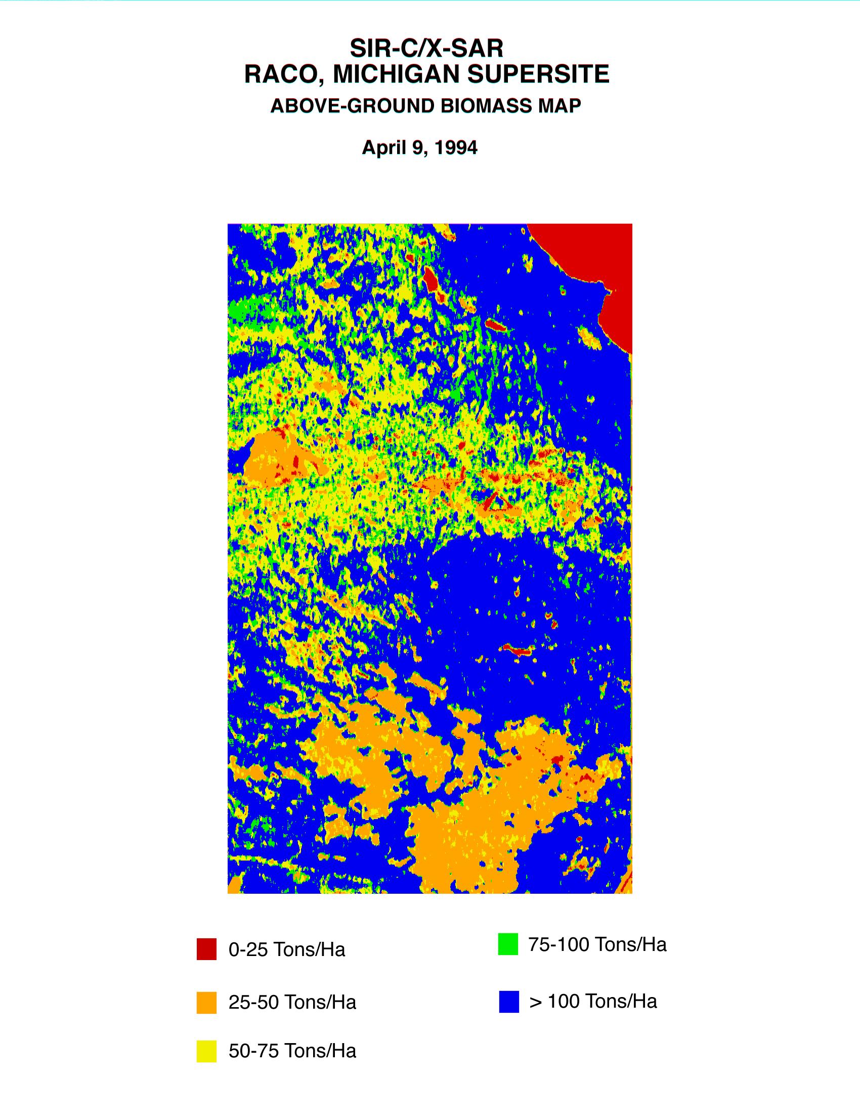
PIA01714:
-
Space Radar Image of Raco Biomass Map
Full Resolution:
TIFF
(628.7 kB)
JPEG
(457.8 kB)
|
|
|
1999-01-27 |
Earth
|
Spaceborne Imaging Radar-C/X-Band Synthetic Aperture Radar
|
|
1700x2200x3 |
|
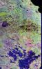
-
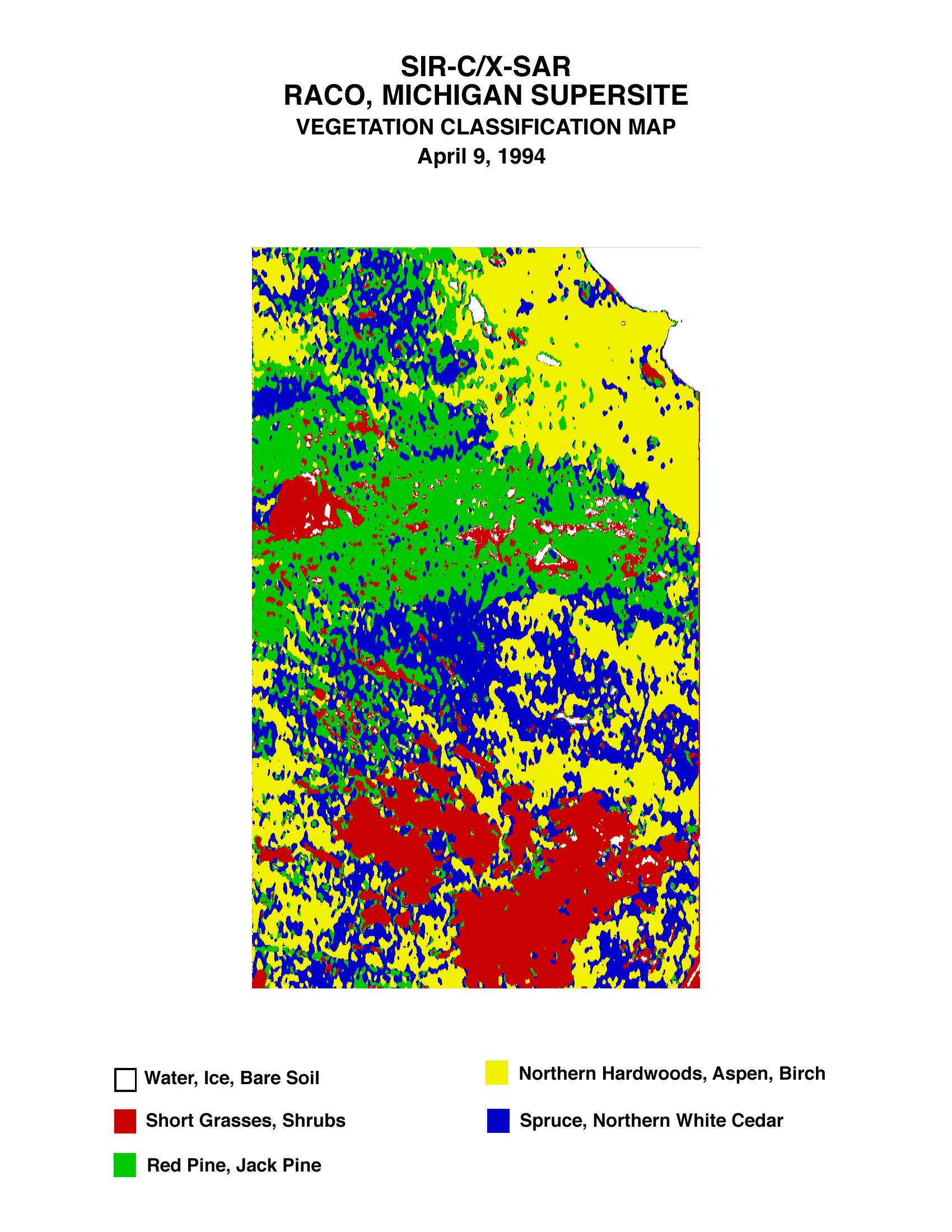
PIA01713:
-
Space Radar Image of Raco Vegetation Map
Full Resolution:
TIFF
(511.3 kB)
JPEG
(447.6 kB)
|
|
|
1999-01-27 |
Earth
|
Spaceborne Imaging Radar-C/X-Band Synthetic Aperture Radar
|
|
1280x1024x3 |
|
-
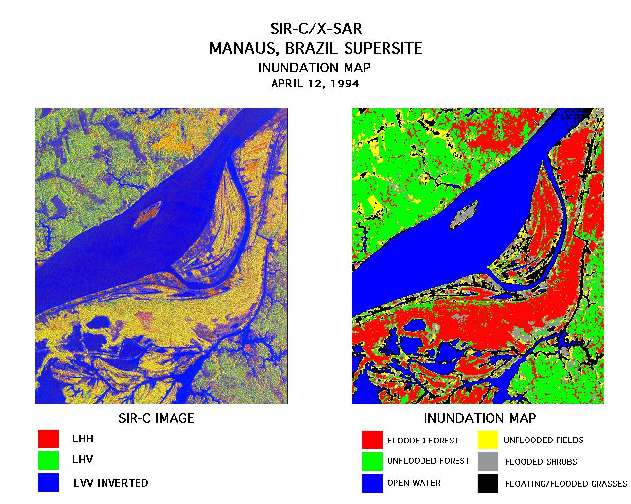
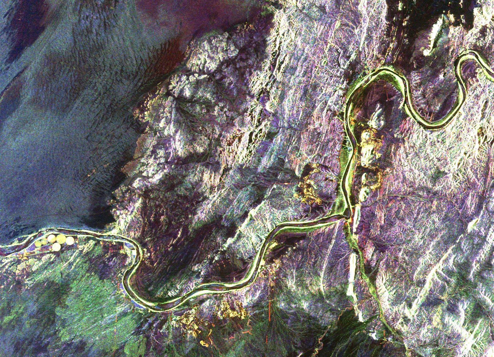
PIA01712:
-
Space Radar Image of Manaus, Brazil
Full Resolution:
TIFF
(1.531 MB)
JPEG
(300.6 kB)
|
|
|
1999-01-27 |
Earth
|
Spaceborne Imaging Radar-C/X-Band Synthetic Aperture Radar
|
|
736x994x3 |
|
-
PIA01711:
-
Space Radar Image of Safsaf, North Africa
Full Resolution:
TIFF
(2.76 MB)
JPEG
(328.7 kB)
|
|
|
1999-01-27 |
Earth
|
Spaceborne Imaging Radar-C/X-Band Synthetic Aperture Radar
|
|
1042x1433x3 |

|
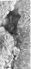
-
PIA01710:
-
Space Radar Image of Kilauea, Hawaii
Full Resolution:
TIFF
(5.636 MB)
JPEG
(549.3 kB)
|
|
|
1999-01-27 |
Earth
|
Spaceborne Imaging Radar-C/X-Band Synthetic Aperture Radar
|
|
1116x1130x3 |
|
-
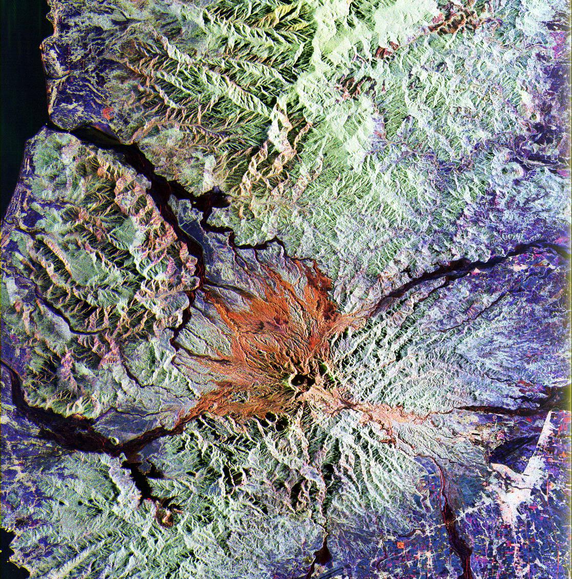
PIA01709:
-
SPace Radar Image of Mt. Pinatubo, Philippines
Full Resolution:
TIFF
(4.975 MB)
JPEG
(576.1 kB)
|
|
|
1999-01-27 |
Earth
|
Spaceborne Imaging Radar-C/X-Band Synthetic Aperture Radar
|
|
1440x972x3 |

|
-
PIA01708:
-
Space Radar Image Isla Isabela in 3-D
Full Resolution:
TIFF
(1.477 MB)
JPEG
(173.6 kB)
|
|
|
1999-01-27 |
Earth
|
Spaceborne Imaging Radar-C/X-Band Synthetic Aperture Radar
|
|
768x2026x3 |
|
-
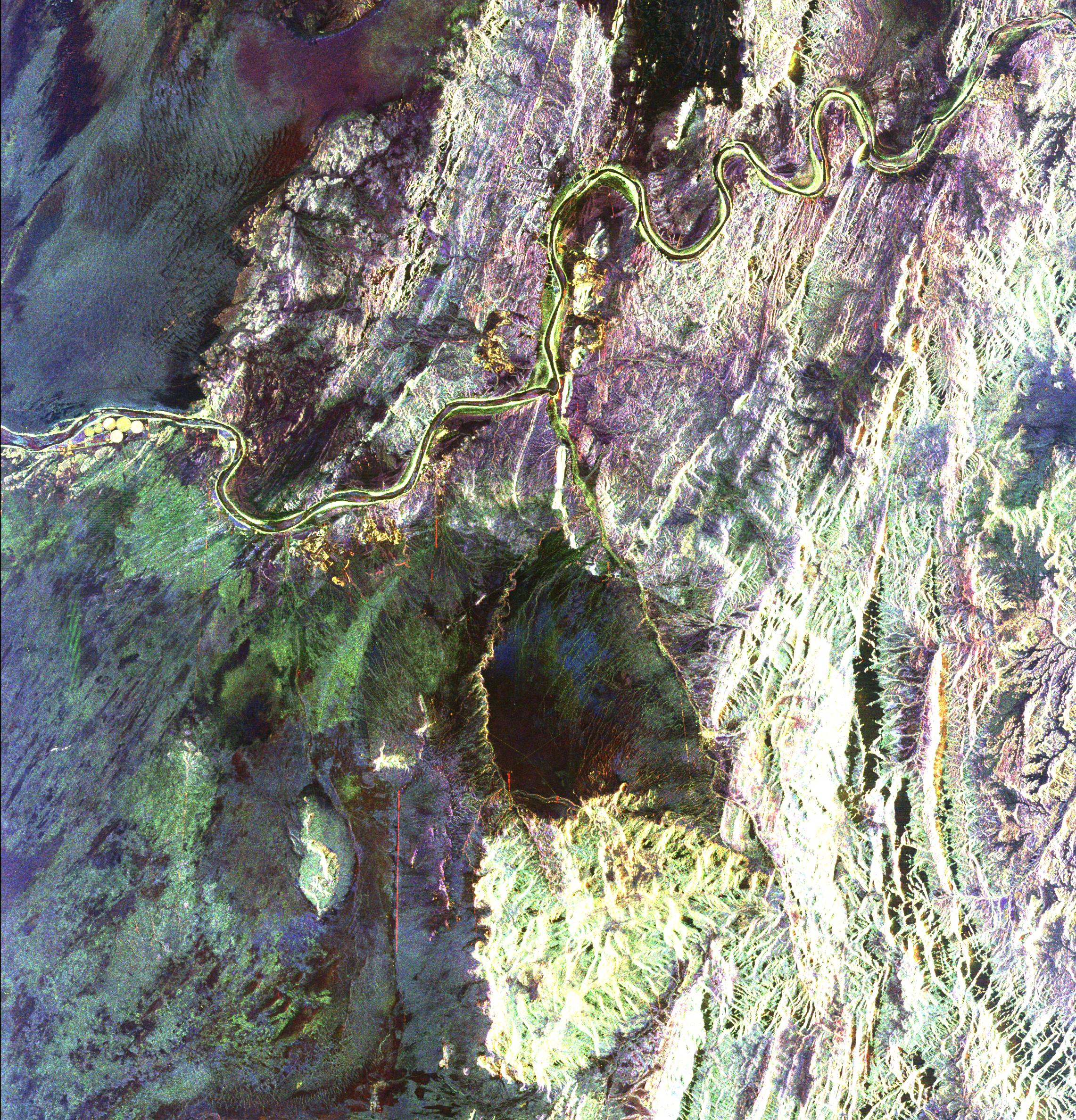
PIA01706:
-
Space Radar Image of Manaus, Brazil
Full Resolution:
TIFF
(6.189 MB)
JPEG
(710.6 kB)
|
|
|
1999-01-27 |
Earth
|
Spaceborne Imaging Radar-C/X-Band Synthetic Aperture Radar
|
|
866x1813x3 |
|
-
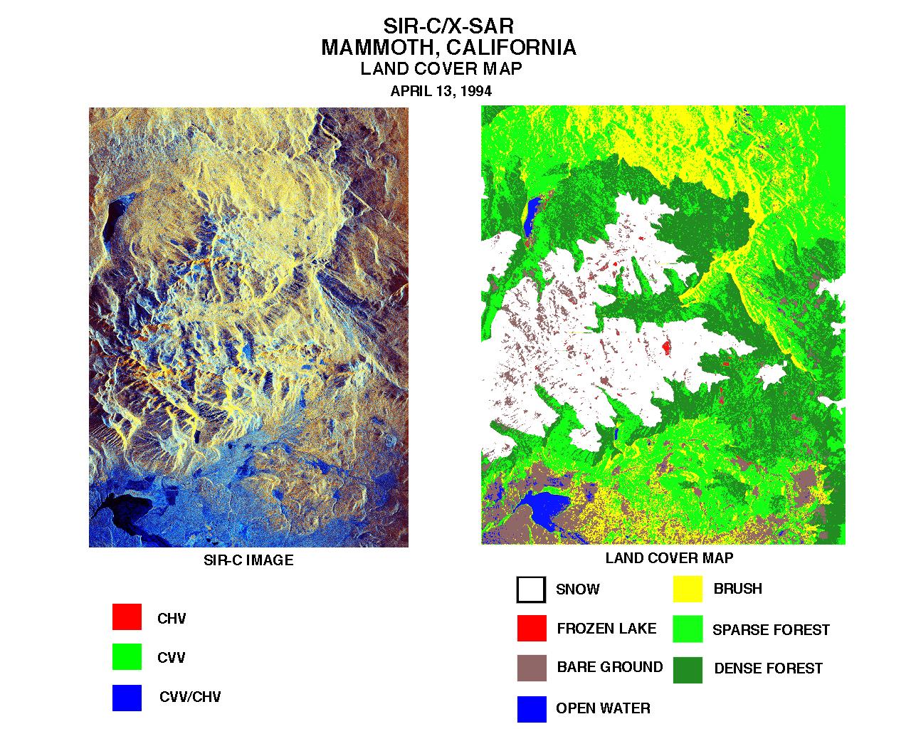
PIA01705:
-
Space Radar Image of Mammoth, California
Full Resolution:
TIFF
(5.759 MB)
JPEG
(635.4 kB)
|
|
|
1999-01-27 |
Earth
|
Spaceborne Imaging Radar-C/X-Band Synthetic Aperture Radar
|
|
698x2299x3 |

|
-
PIA01704:
-
Space Radar Image of Oetzal, Austria
Full Resolution:
TIFF
(5.334 MB)
JPEG
(639.8 kB)
|
|
|
1999-01-27 |
Earth
|
Spaceborne Imaging Radar-C/X-Band Synthetic Aperture Radar
|
|
1536x972x3 |
|
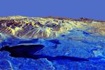
-
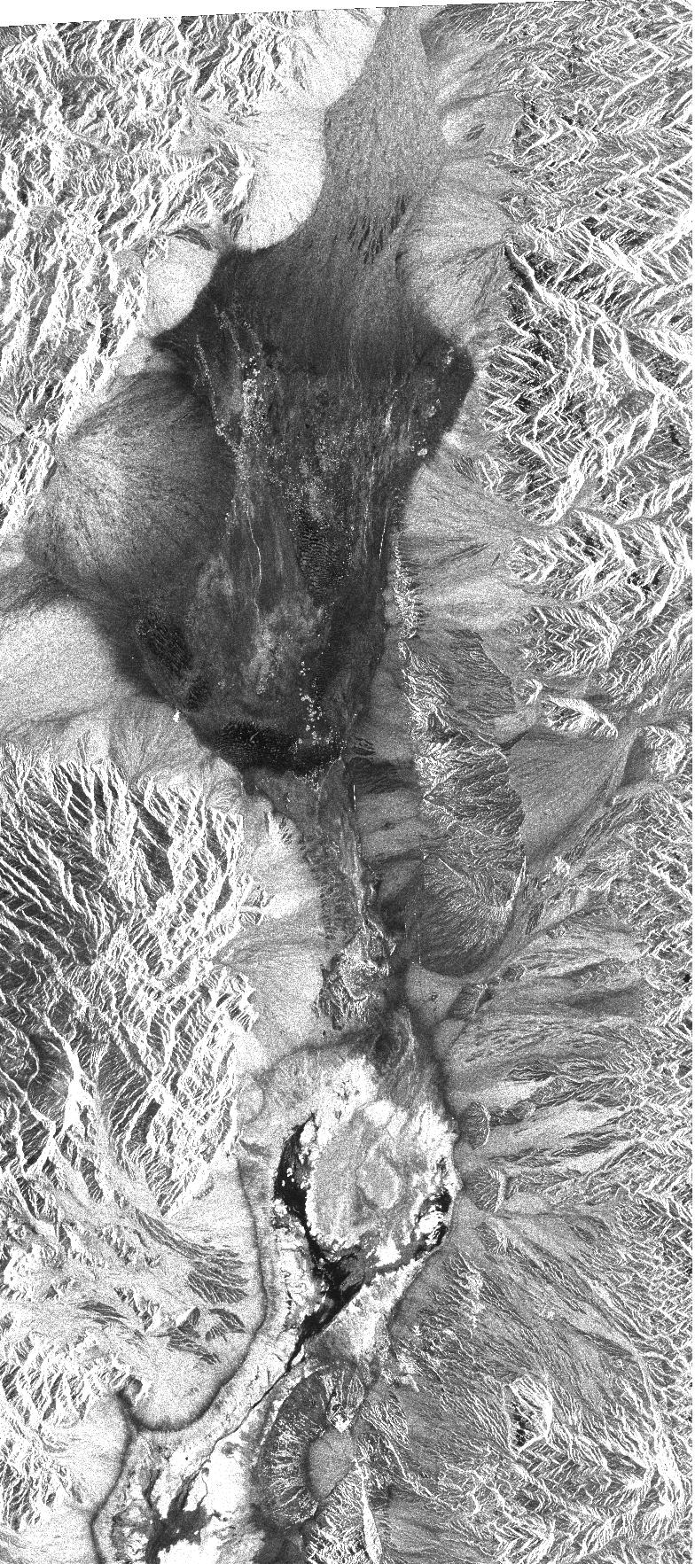
PIA01703:
-
Space Radar Image of Death Valley in 3-D
Full Resolution:
TIFF
(1.41 MB)
JPEG
(167.8 kB)
|
|
|
1999-01-27 |
Earth
|
Spaceborne Imaging Radar-C/X-Band Synthetic Aperture Radar
|
|
788x1838x3 |
|
-
PIA01702:
-
Space Radar Image of Prince Albert, Canada
Full Resolution:
TIFF
(3.205 MB)
JPEG
(705.9 kB)
|
|
|
1999-01-27 |
Earth
|
Spaceborne Imaging Radar-C/X-Band Synthetic Aperture Radar
|
|
784x1765x1 |
|
-
PIA01701:
-
Space Radar Image of Death Valley, California
Full Resolution:
TIFF
(1.602 MB)
JPEG
(565.3 kB)
|
|
|
1999-01-27 |
Earth
|
Spaceborne Imaging Radar-C/X-Band Synthetic Aperture Radar
|
|
804x1330x3 |
|
-
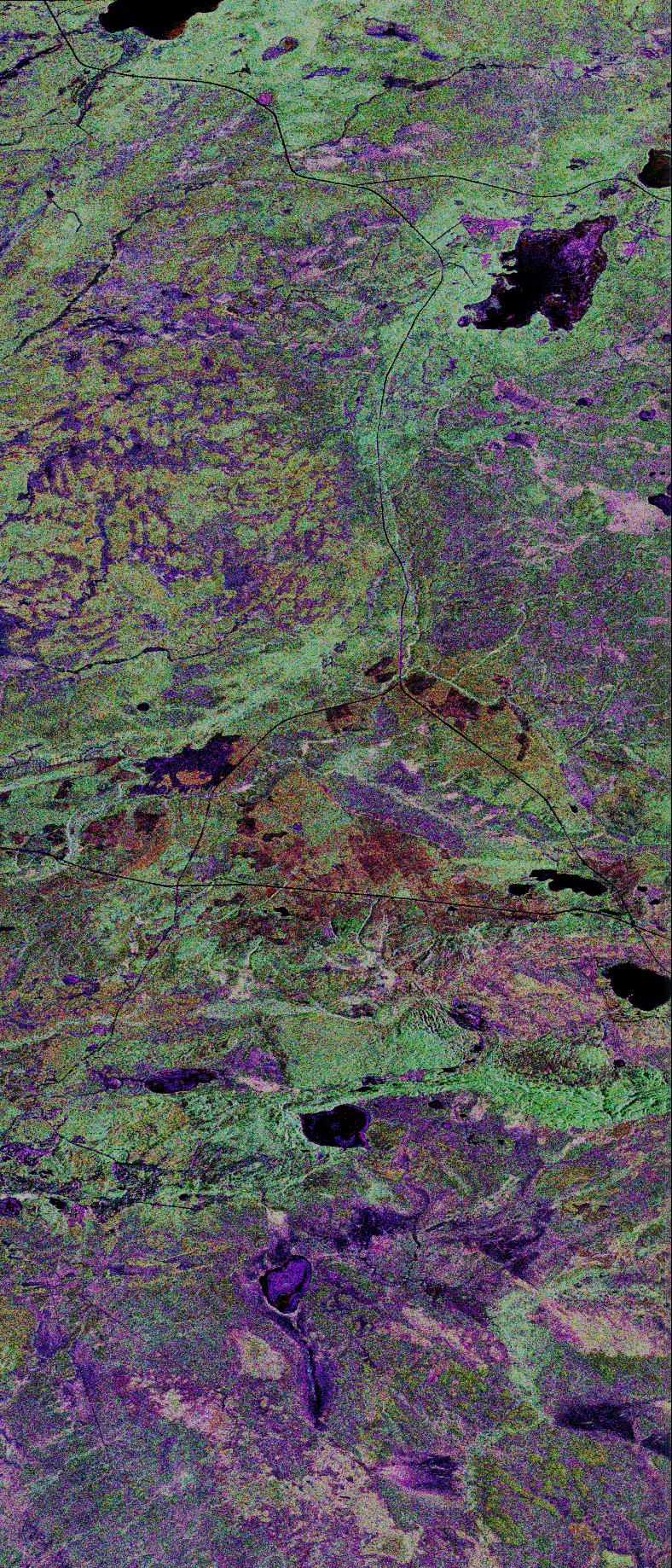
PIA01700:
-
Space Radar Image of Raco, Michigan
Full Resolution:
TIFF
(4.208 MB)
JPEG
(489.4 kB)
|
|
|
1998-04-28 |
Earth
|
Spaceborne Imaging Radar-C/X-Band Synthetic Aperture Radar
|
Imaging Radar
|
3930x2880x3 |
|
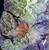
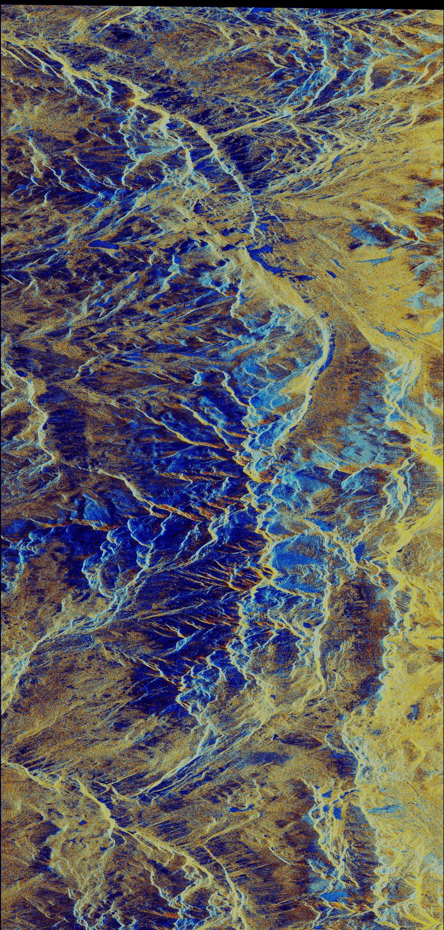
-
PIA01305:
-
Space Radar Image of Galeras Volcano, Colombia
Full Resolution:
TIFF
(40.91 MB)
JPEG
(3.423 MB)
|
|
|
1998-04-28 |
Earth
|
Spaceborne Imaging Radar-C/X-Band Synthetic Aperture Radar
|
Imaging Radar
|
1660x3000x3 |

|
-
PIA01304:
-
Space Radar Image of Mauna Loa, Hawaii
Full Resolution:
TIFF
(18 MB)
JPEG
(1.84 MB)
|
|
|
1998-04-28 |
Earth
|
Spaceborne Imaging Radar-C/X-Band Synthetic Aperture Radar
|
Imaging Radar
|
2188x1201x3 |
|
-
PIA01302:
-
Space Radar Image of Ubar Optical/Radar
Full Resolution:
TIFF
(10.02 MB)
JPEG
(795.3 kB)
|
|
|
1998-04-14 |
Earth
|
Spaceborne Imaging Radar-C/X-Band Synthetic Aperture Radar
|
Imaging Radar
|
1498x3000x3 |

|
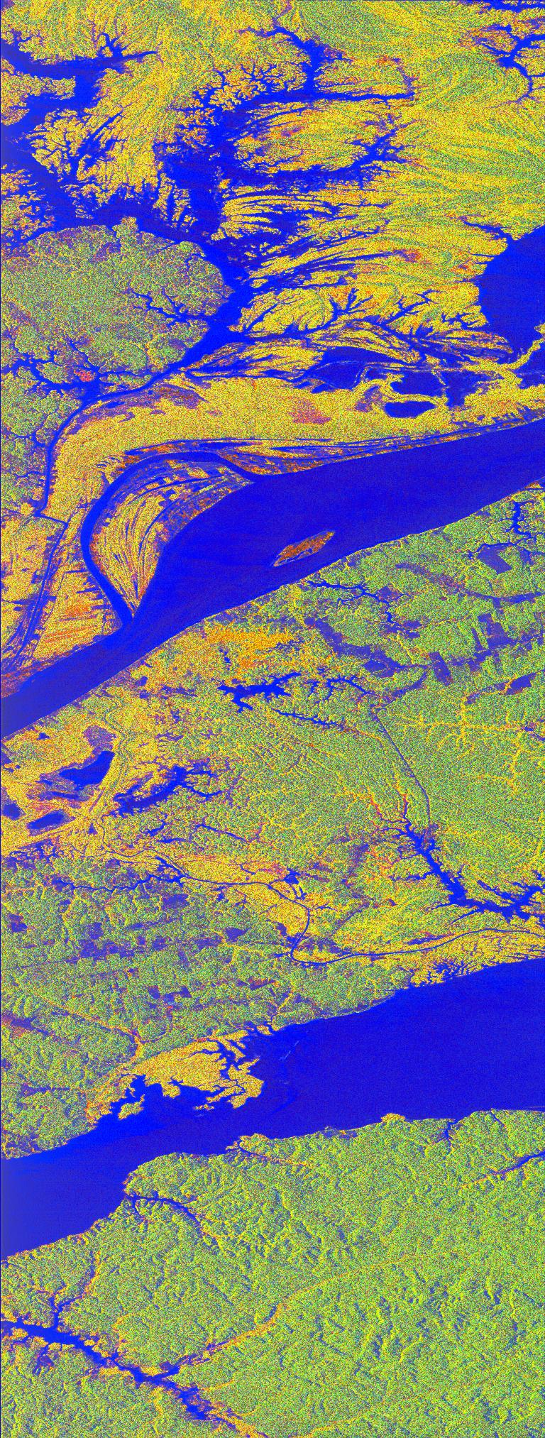
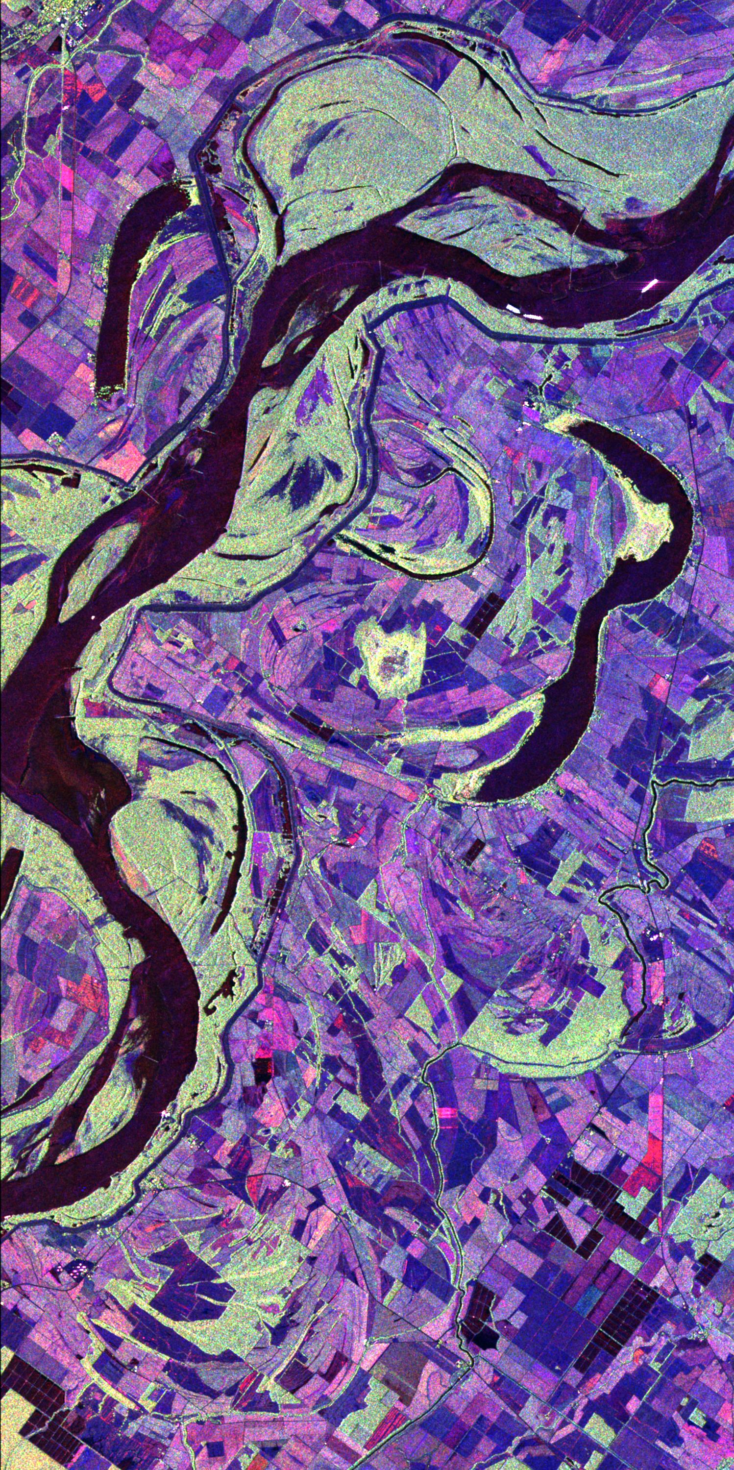
-
PIA01311:
-
Space Radar Image of Mississippi River
Full Resolution:
TIFF
(17.41 MB)
JPEG
(1.207 MB)
|
|
|
1998-04-14 |
Earth
|
Spaceborne Imaging Radar-C/X-Band Synthetic Aperture Radar
|
Imaging Radar
|
3112x4817x3 |
|
-
PIA01310:
-
Space Radar Image of Wadi Kufra, Libya
Full Resolution:
TIFF
(54.46 MB)
JPEG
(4.357 MB)
|
|
|
1998-04-14 |
Earth
|
Spaceborne Imaging Radar-C/X-Band Synthetic Aperture Radar
|
Imaging Radar
|
1950x3000x3 |
|
-
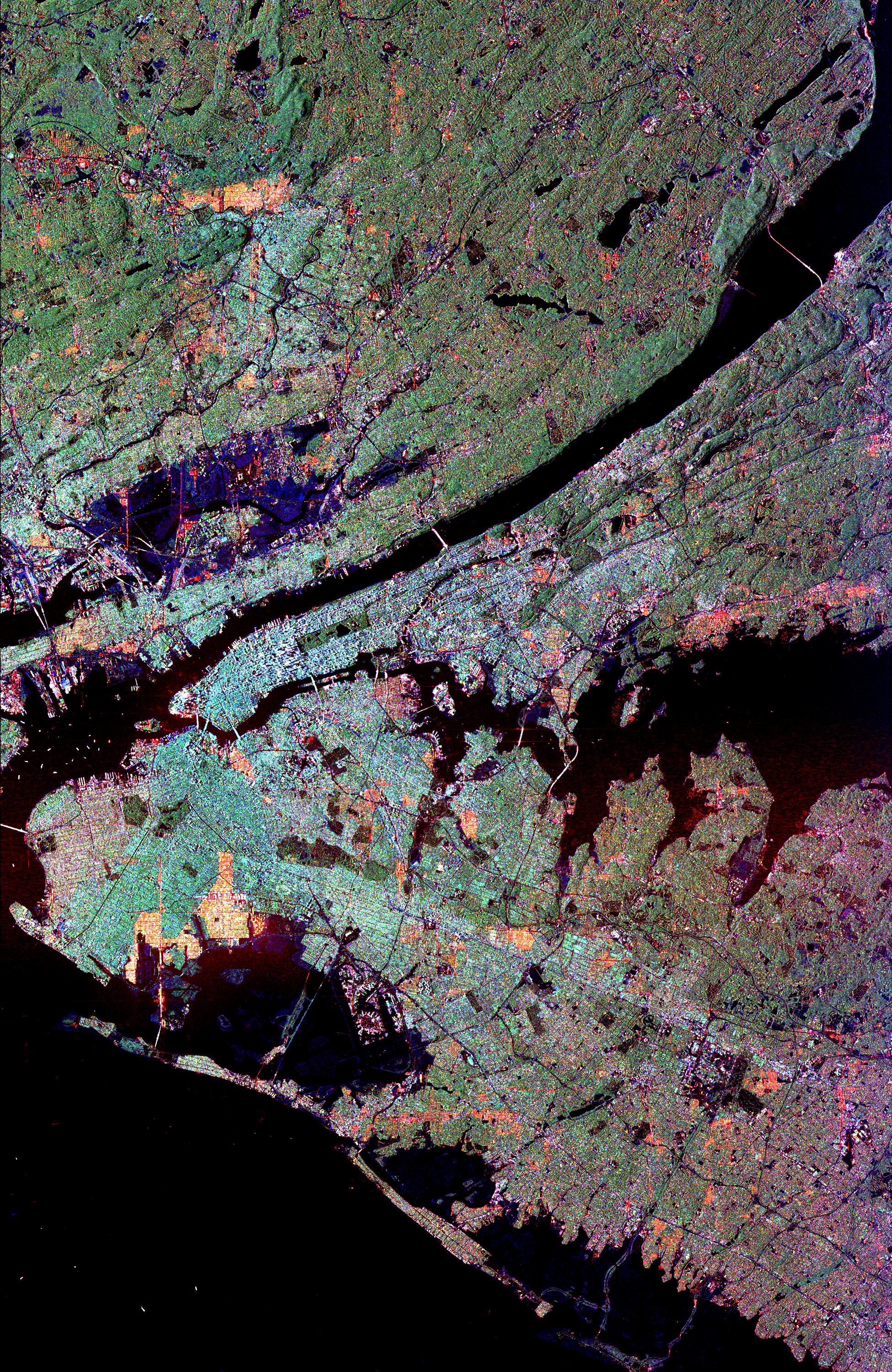
PIA01309:
-
Space Radar Image of New York City
Full Resolution:
TIFF
(16.45 MB)
JPEG
(2.531 MB)
|
|
|
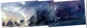
1998-04-14 |
Earth
|
Spaceborne Imaging Radar-C/X-Band Synthetic Aperture Radar
|
Imaging Radar
|
1676x4000x3 |
|
-
PIA01308:
-
Space Radar Image of Western Pacific Rain Vlouds
Full Resolution:
TIFF
(25.5 MB)
JPEG
(2.205 MB)
|
|
|
1998-04-14 |
Earth
|
Spaceborne Imaging Radar-C/X-Band Synthetic Aperture Radar
|
Imaging Radar
|
2430x3078x3 |
|
-
PIA01306:
-
Space Radar Image of Sunbury, Pennsylvania
Full Resolution:
TIFF
(29.48 MB)
JPEG
(2.666 MB)
|
|
|
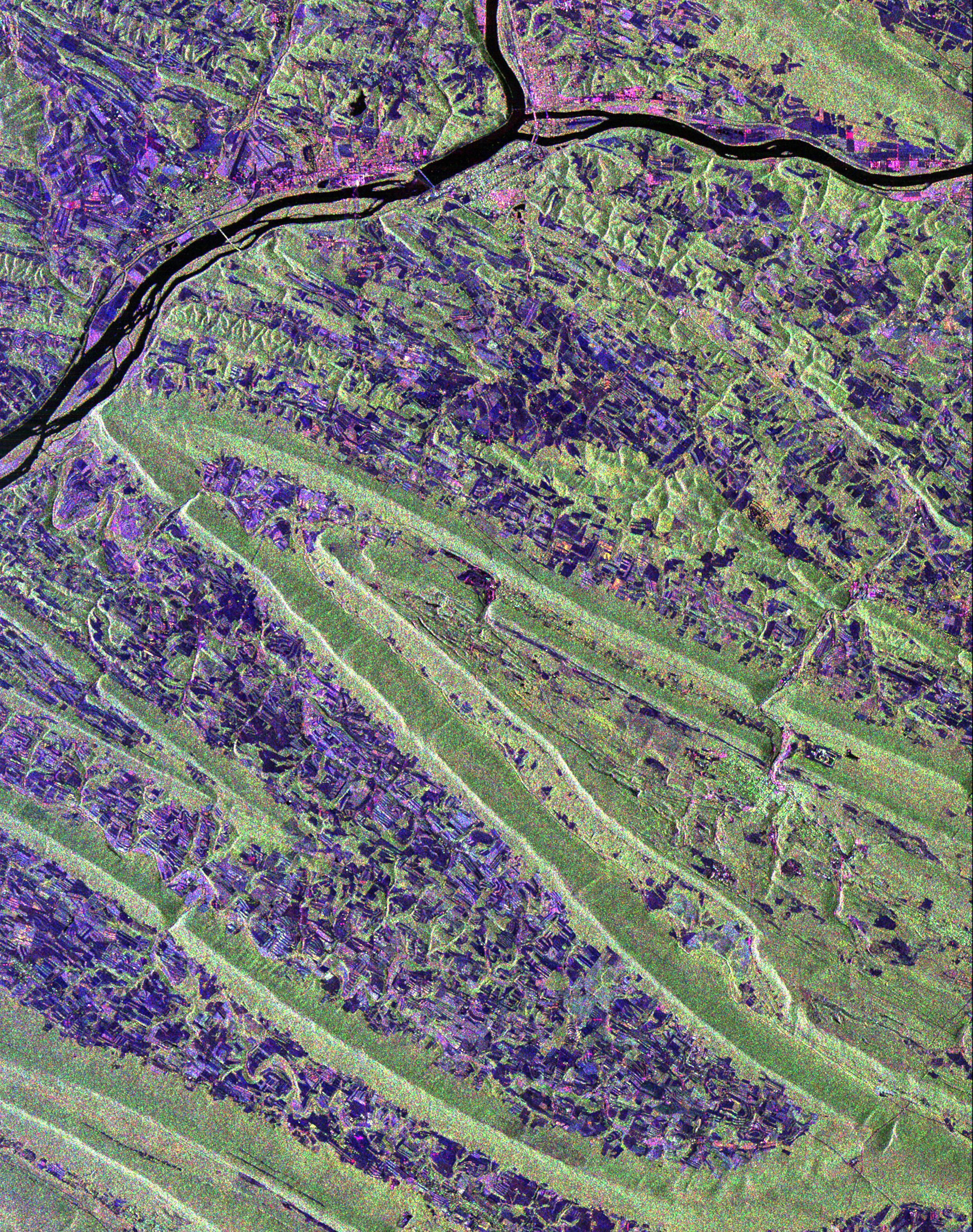
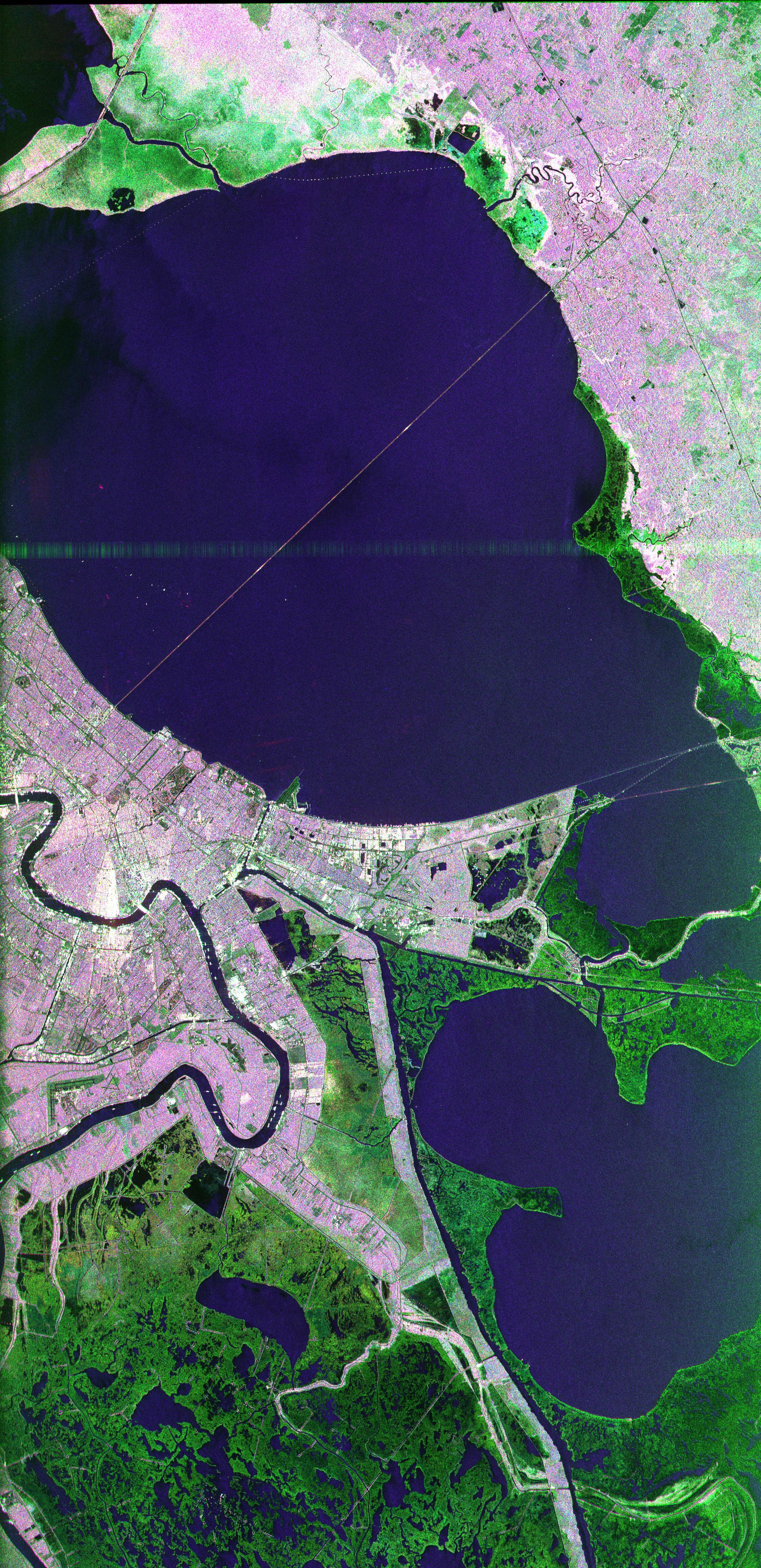
1998-04-14 |
Earth
|
Spaceborne Imaging Radar-C/X-Band Synthetic Aperture Radar
|
Imaging Radar
|
1943x4000x3 |

|
-
PIA01300:
-
Space Radar Image of New Orleans, Louisiana
Full Resolution:
TIFF
(26.94 MB)
JPEG
(2.16 MB)
|
|
|
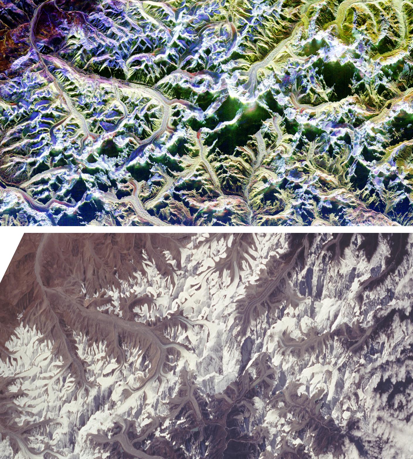
1998-04-09 |
Earth
|
Spaceborne Imaging Radar-C/X-Band Synthetic Aperture Radar
|
Imaging Radar
|
1409x1567x3 |
|
-
PIA01301:
-
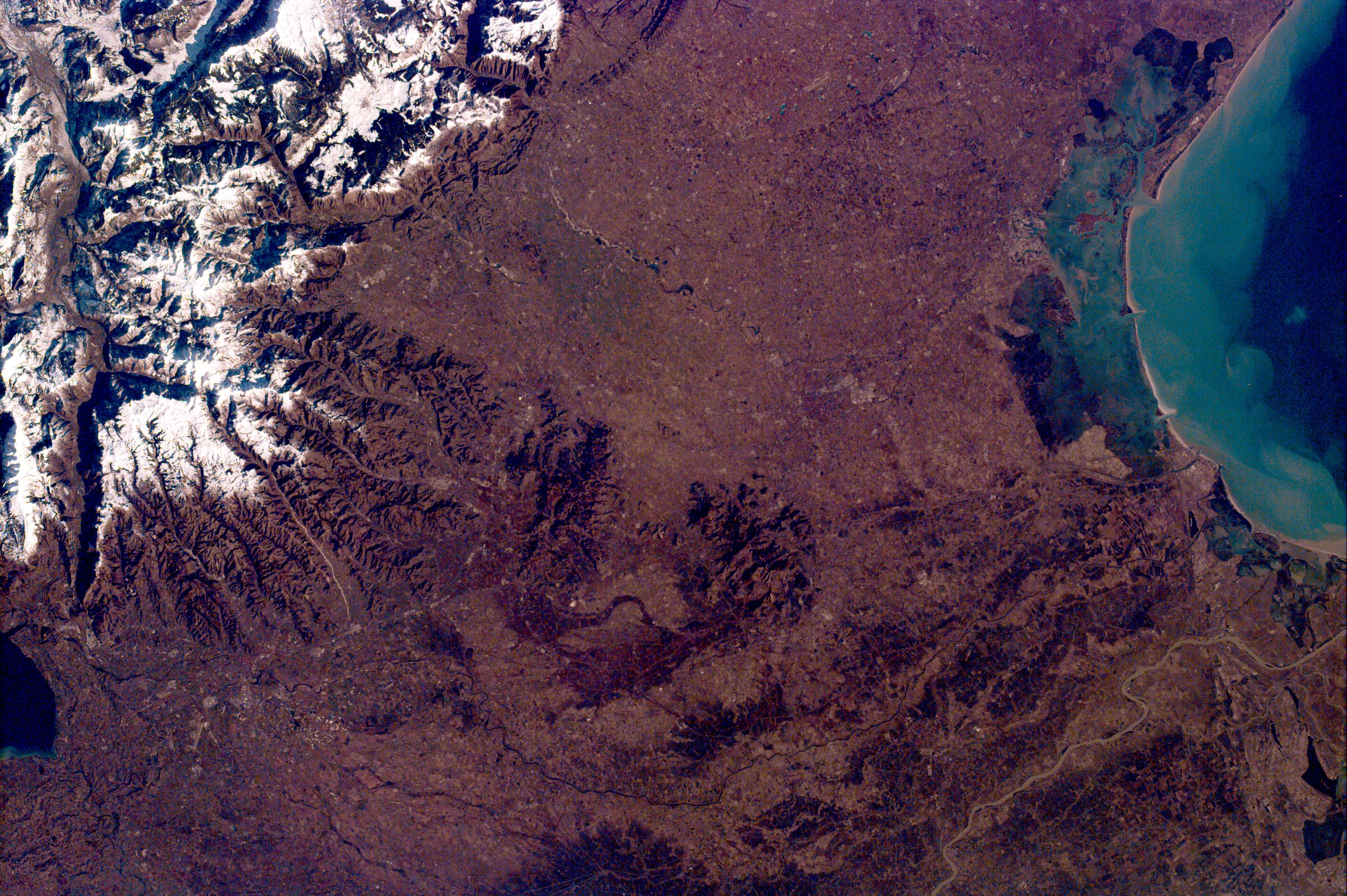
Space Radar Image of Mount Everest
Full Resolution:
TIFF
(7.613 MB)
JPEG
(577.3 kB)
|
|
|
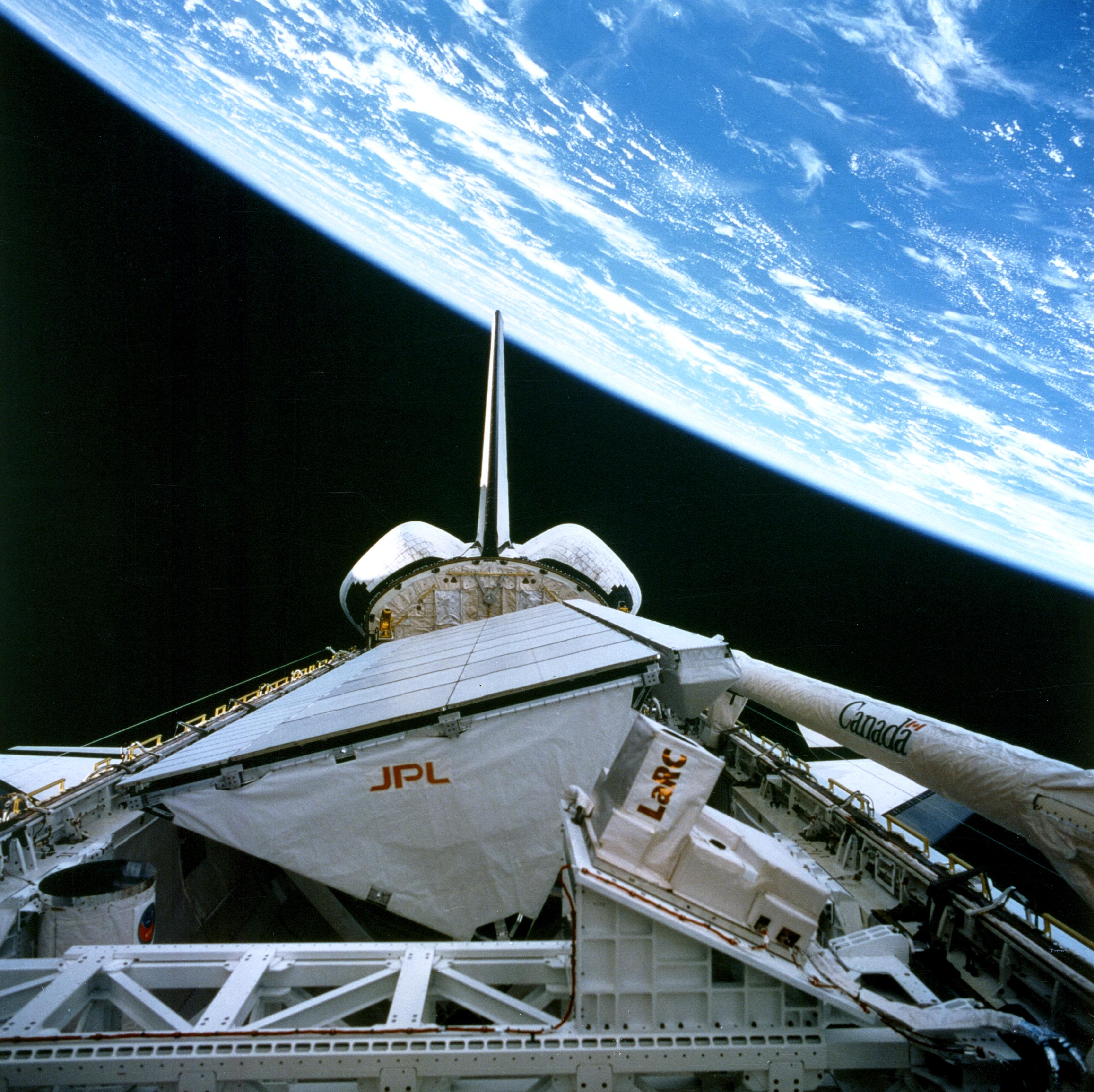
1998-04-09 |
Earth
|
Spaceborne Imaging Radar-C/X-Band Synthetic Aperture Radar
|
Imaging Radar
|
3022x3018x3 |

|
-
PIA01321:
-
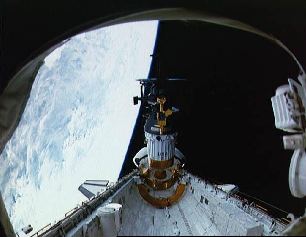
Onboard View - Space Shuttle Endeavour
Full Resolution:
TIFF
(22.33 MB)
JPEG
(1.162 MB)
|
|
|
1998-04-06 |
Earth
|
Spaceborne Imaging Radar-C/X-Band Synthetic Aperture Radar
|
L-Band Imaging Radar
|
2100x1232x3 |
|
-
PIA00737:
-
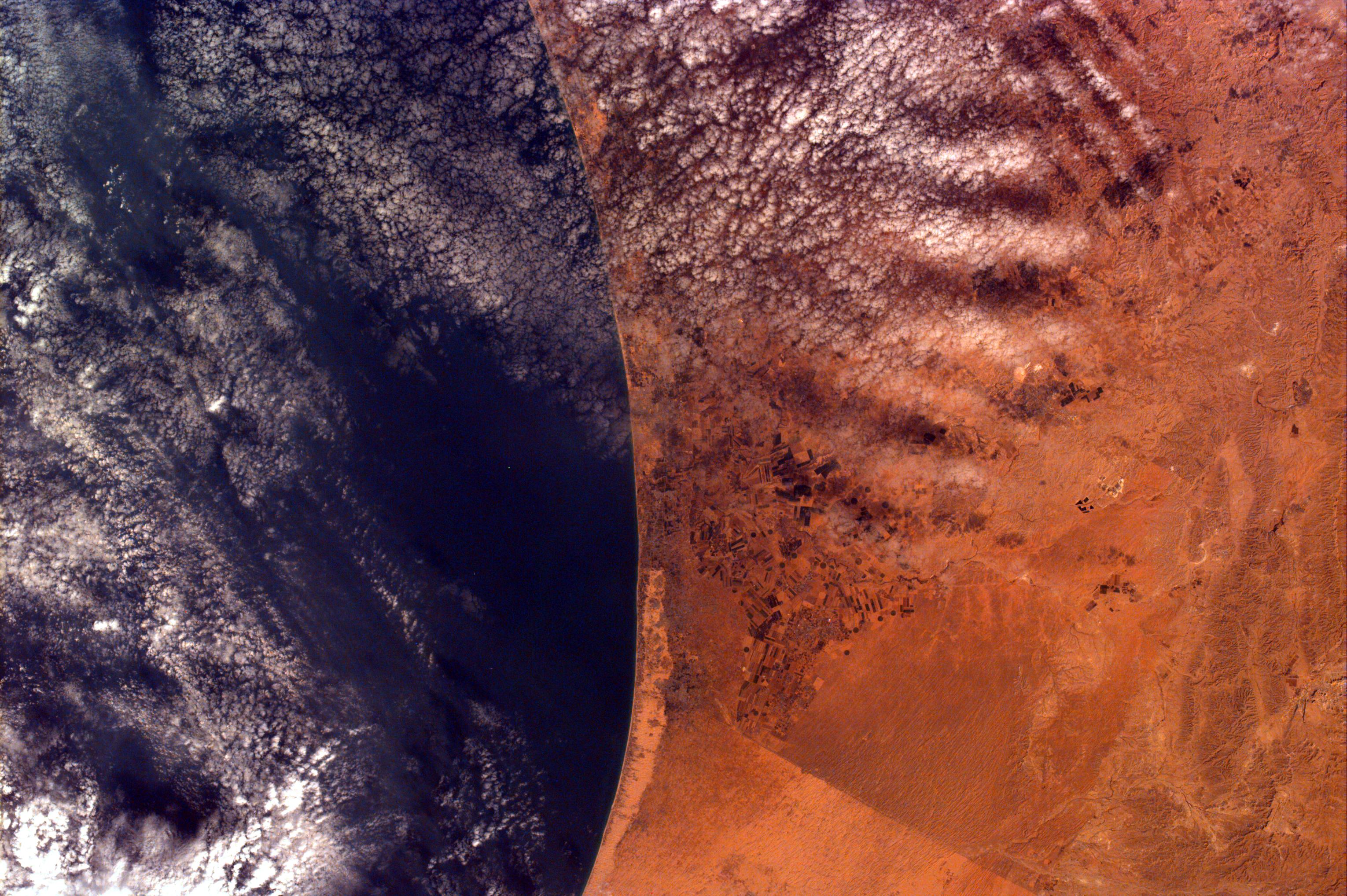
Safsaf Oasis, Egypt
Full Resolution:
TIFF
(7.751 MB)
JPEG
(722.3 kB)
|
|
|
1998-04-06 |
Earth
|
Spaceborne Imaging Radar-C/X-Band Synthetic Aperture Radar
|
L-Band Imaging Radar
|
4001x3032x3 |
|
-
PIA01235:
-
North Central Thailand
Full Resolution:
TIFF
(44.97 MB)
JPEG
(3.526 MB)
|
|
|
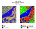
1998-03-16 |
Earth
|
Spaceborne Imaging Radar-C/X-Band Synthetic Aperture Radar
|
L-Band Imaging Radar
|
1571x1135x3 |
|
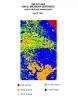
-
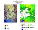
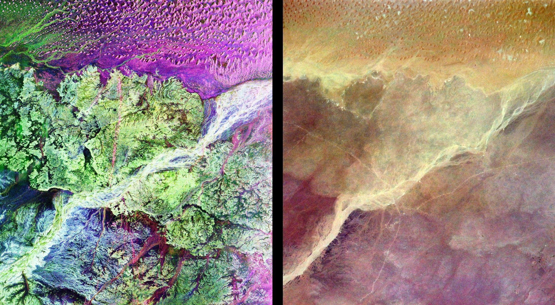
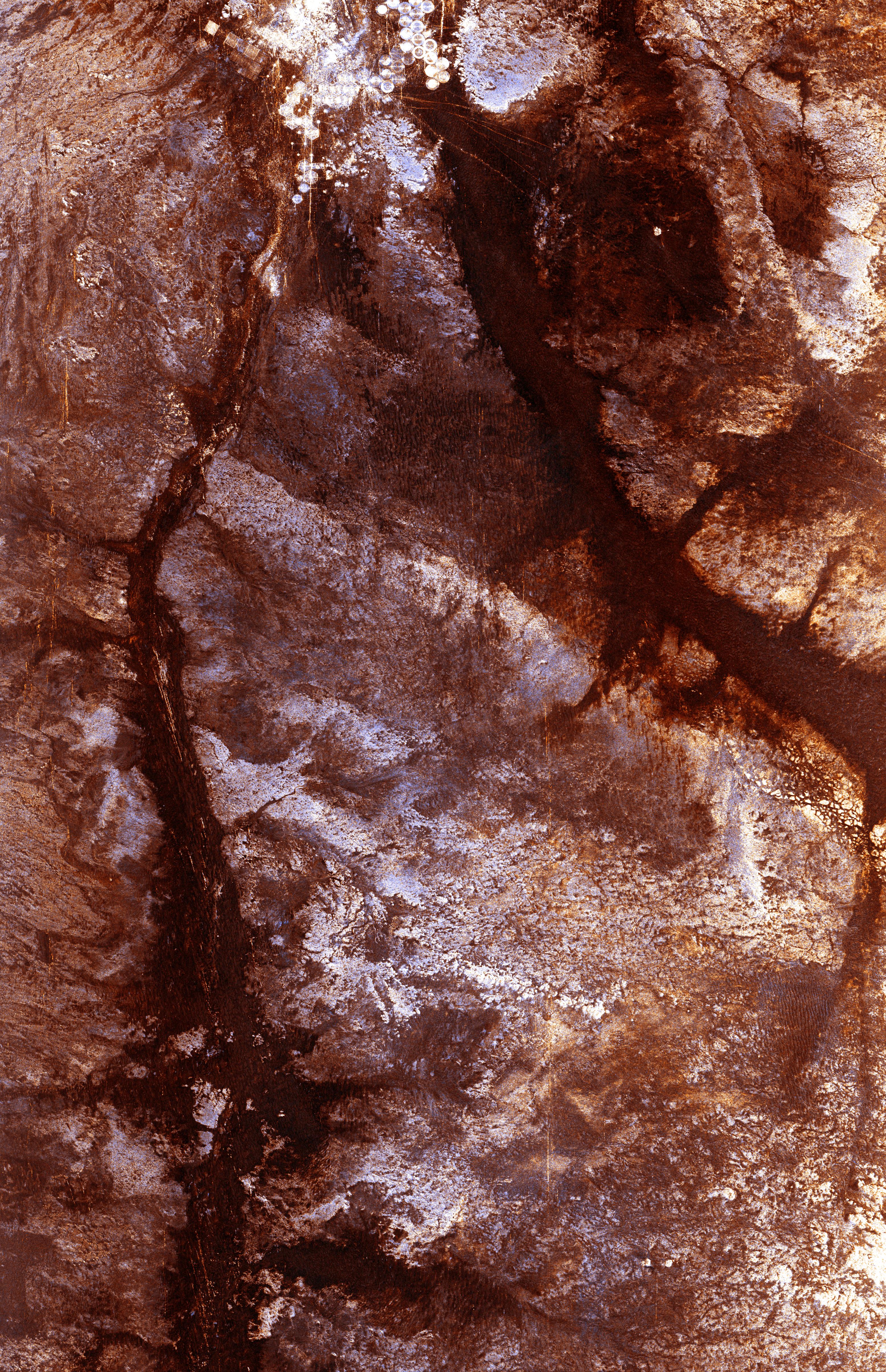
PIA00822:
-
South Africa, Namibia Diamond Deposits (Close-up)
Full Resolution:
TIFF
(6.439 MB)
JPEG
(581.7 kB)
|
|
|
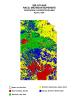
1998-03-16 |
Earth
|
Spaceborne Imaging Radar-C/X-Band Synthetic Aperture Radar
|
L-Band Imaging Radar
|
2282x2375x3 |
|
-
PIA00821:
-
South Africa, Namibia Diamond Deposits
Full Resolution:
TIFF
(18.25 MB)
JPEG
(1.739 MB)
|
|
|
1997-10-03 |
Earth
|
KidSat
|
Electronic Still Camera
|
7019x2290x3 |
|
-
PIA00950:
-
Mosaic image of fires in Indonesia
Full Resolution:
TIFF
(49.22 MB)
JPEG
(1.846 MB)
|
|
|
1997-10-03 |
Earth
|
KidSat
|
Electronic Still Camera
|
1024x1024x3 |
|
-
PIA00956:
-
Kidsat image of Sumatra, Indonesia & map
Full Resolution:
TIFF
(1.7 MB)
JPEG
(281.6 kB)
|
|
|
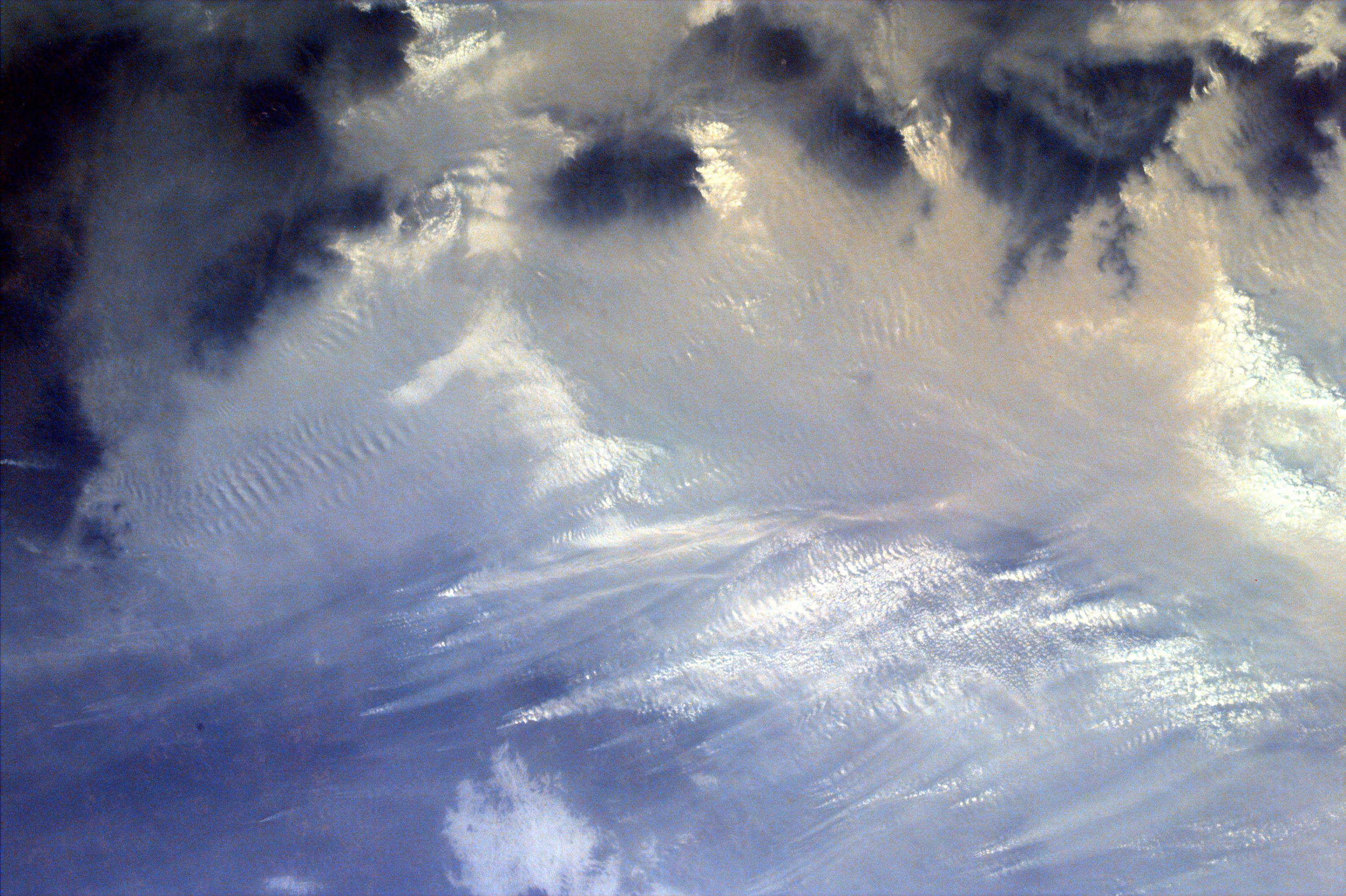
1997-10-03 |
Earth
|
KidSat
|
Electronic Still Camera
|
3060x2036x3 |
|
-
PIA00955:
-
Sumatra, Indonesia
Full Resolution:
TIFF
(17.23 MB)
JPEG
(1.144 MB)
|
|
|
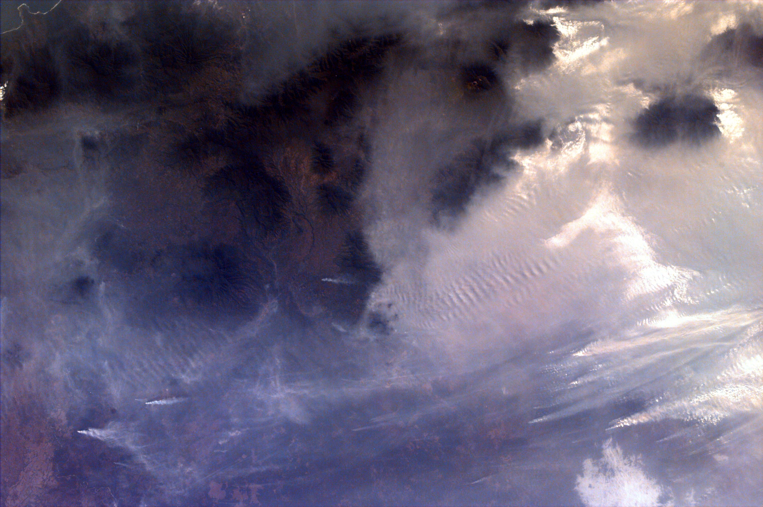
1997-10-03 |
Earth
|
KidSat
|
Electronic Still Camera
|
3060x2036x3 |

|
-
PIA00954:
-
Southern Sumatra, Indonesia
Full Resolution:
TIFF
(18.64 MB)
JPEG
(727.3 kB)
|
|
|
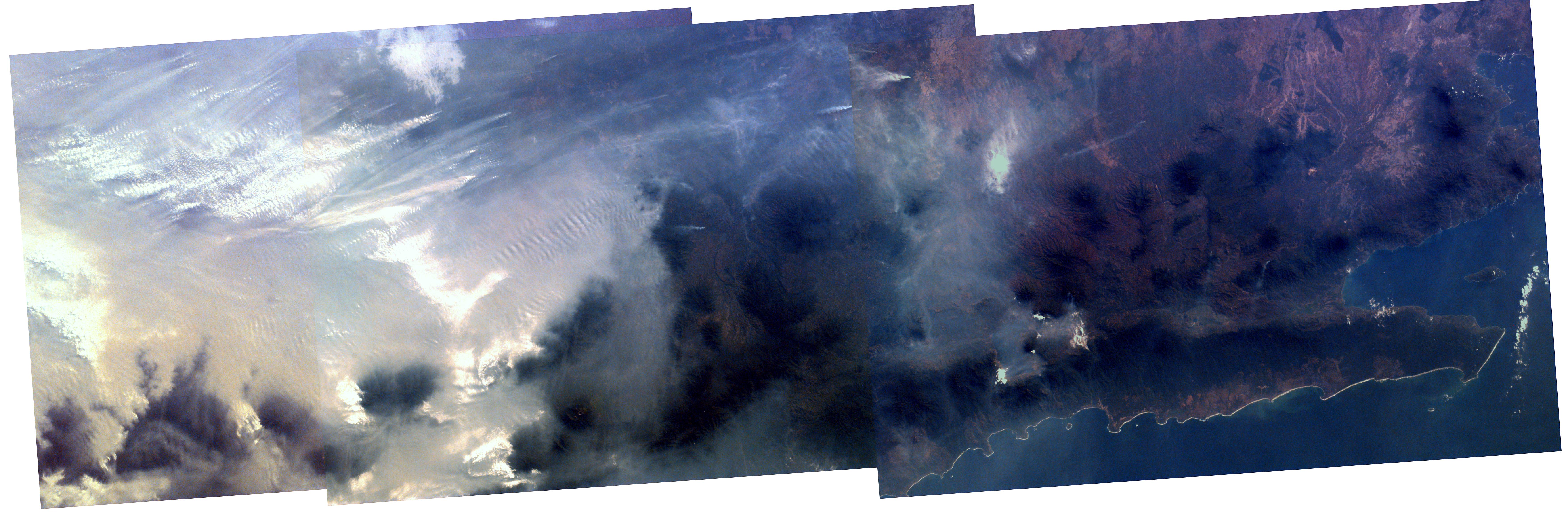
1997-10-03 |
Earth
|
KidSat
|
Electronic Still Camera
|
3060x2036x3 |

|
-
PIA00953:
-
Southern tip of Sumatra, Indonesia
Full Resolution:
TIFF
(18.48 MB)
JPEG
(878.2 kB)
|
|
|
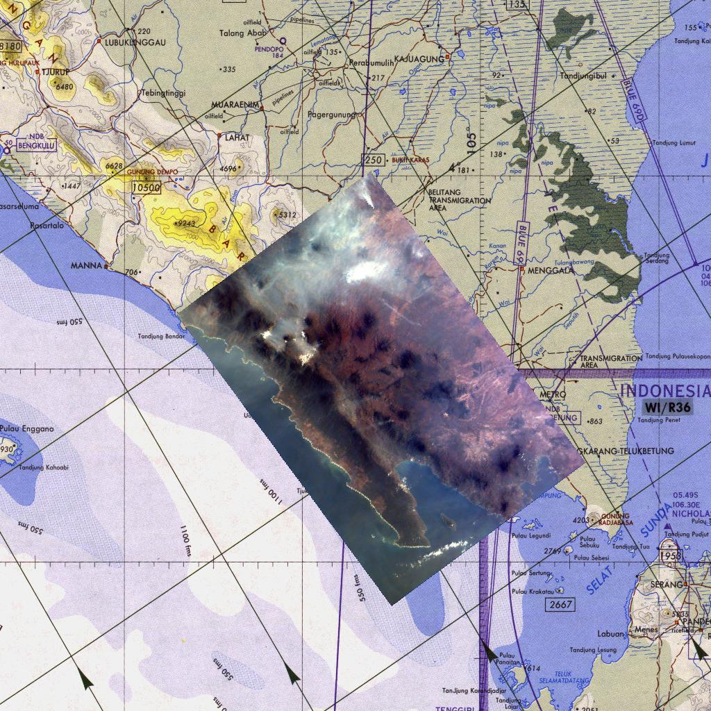
1997-10-03 |
Earth
|
KidSat
|
Electronic Still Camera
|
1024x1024x3 |
|
-
PIA00952:
-
Map of northern Sumatra, Indonesia
Full Resolution:
TIFF
(1.753 MB)
JPEG
(316.2 kB)
|
|
|
1997-10-03 |
Earth
|
KidSat
|
Electronic Still Camera
|
3060x2036x3 |
|
-
PIA00951:
-
Smoke over Lake Toba, Indonesia
Full Resolution:
TIFF
(18.11 MB)
JPEG
(814.8 kB)
|
|
|
1997-09-10 |
Earth
|
Galileo
|
|
620x480x3 |

|
-
PIA00727:
-
Deployment of Galileo and the IUS
Full Resolution:
TIFF
(628.2 kB)
JPEG
(37.42 kB)
|
|
|
1997-09-10 |
Earth
|
Galileo
|
|
420x480x3 |

|
-
PIA00726:
-
Launch of Galileo on STS-34 Atlantis
Full Resolution:
TIFF
(518.9 kB)
JPEG
(24.27 kB)
|
|
|
1997-01-22 |
Earth
|
KidSat
|
Electronic Still Camera
|
3060x2036x3 |
|
-
PIA00546:
-
Venice, Italy & the Alps from the Shuttle KidSat Camera
Full Resolution:
TIFF
(15.83 MB)
JPEG
(1.483 MB)
|
|
|
1997-01-22 |
Earth
|
KidSat
|
Electronic Still Camera
|
3060x2036x3 |
|
-
PIA00547:
-
Gaza Strip and the Mediterranean Sea from the Shuttle KidSat Camera
Full Resolution:
TIFF
(20.47 MB)
JPEG
(1.119 MB)
|
|
|
1996-11-13 |
Earth
|
Spaceborne Imaging Radar-C/X-Band Synthetic Aperture Radar
|
Imaging Radar
|
2732x4000x3 |
|
-
PIA00505:
-
Angkor, Cambodia
Full Resolution:
TIFF
(41.23 MB)
JPEG
(3.655 MB)
|
|
|
1996-11-13 |
Earth
|
Spaceborne Imaging Radar-C/X-Band Synthetic Aperture Radar
|
Imaging Radar
|
2620x3320x3 |
|
-
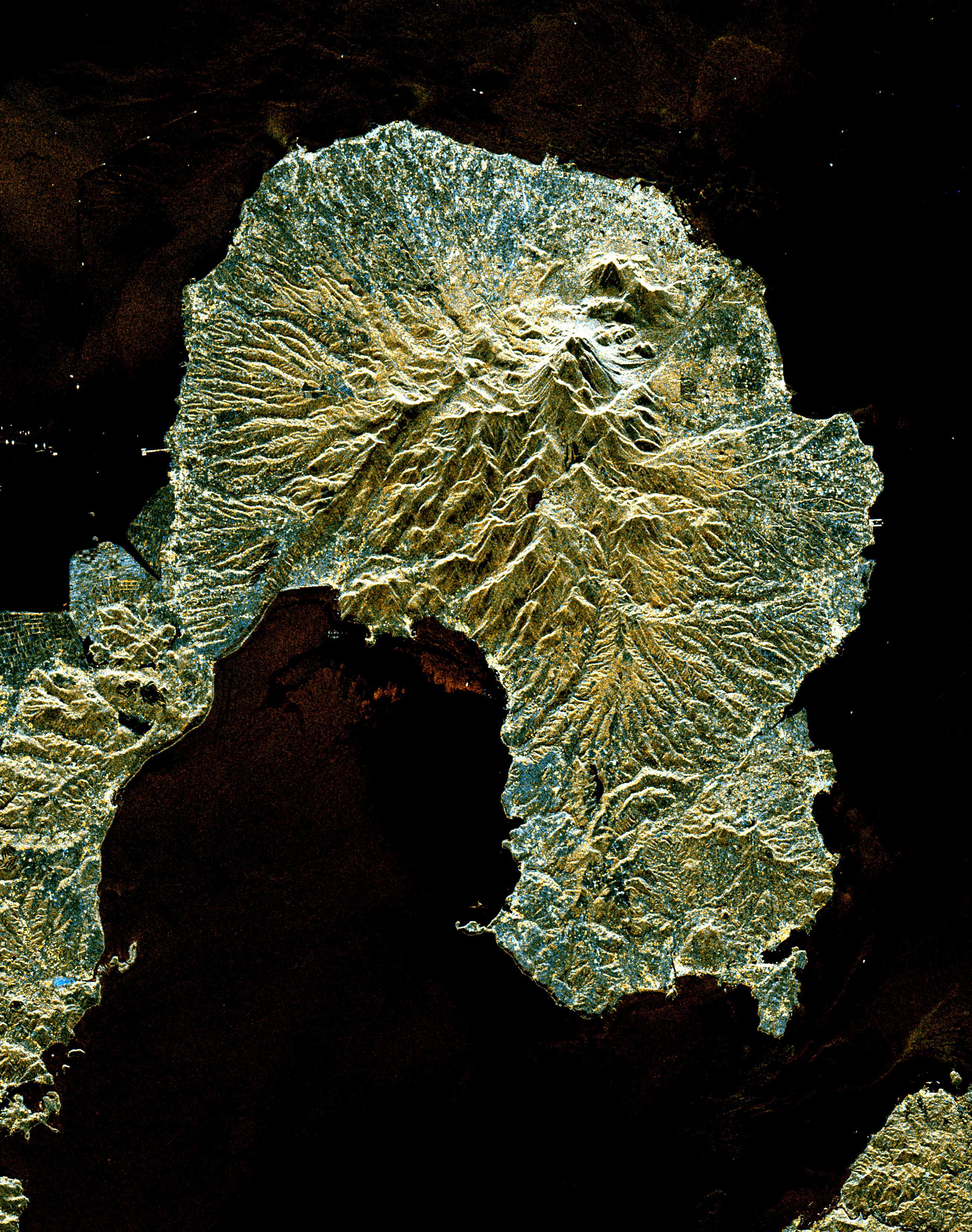
PIA00504:
-
Unzen Volcano, Japan
Full Resolution:
TIFF
(14.37 MB)
JPEG
(1.832 MB)
|
|
|
1996-11-13 |
Earth
|
Spaceborne Imaging Radar-C/X-Band Synthetic Aperture Radar
|
Imaging Radar
|
2910x2040x3 |
|
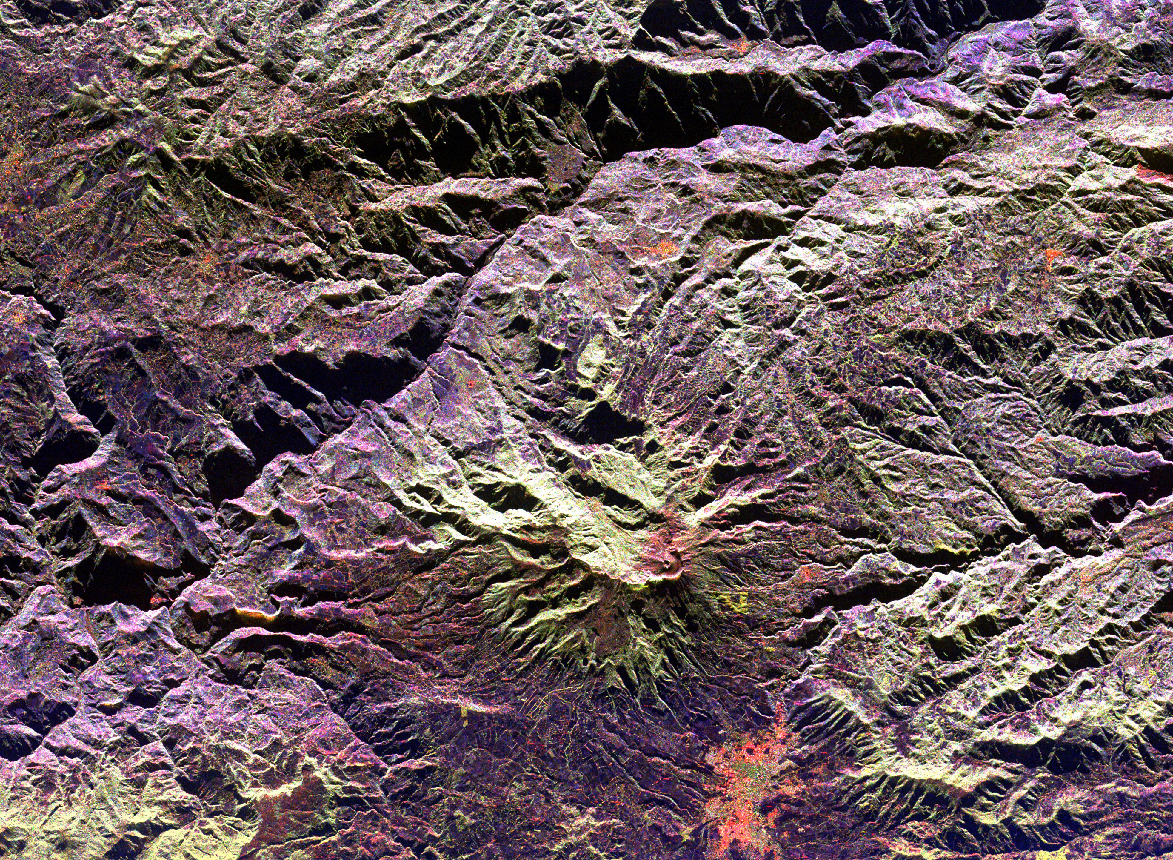
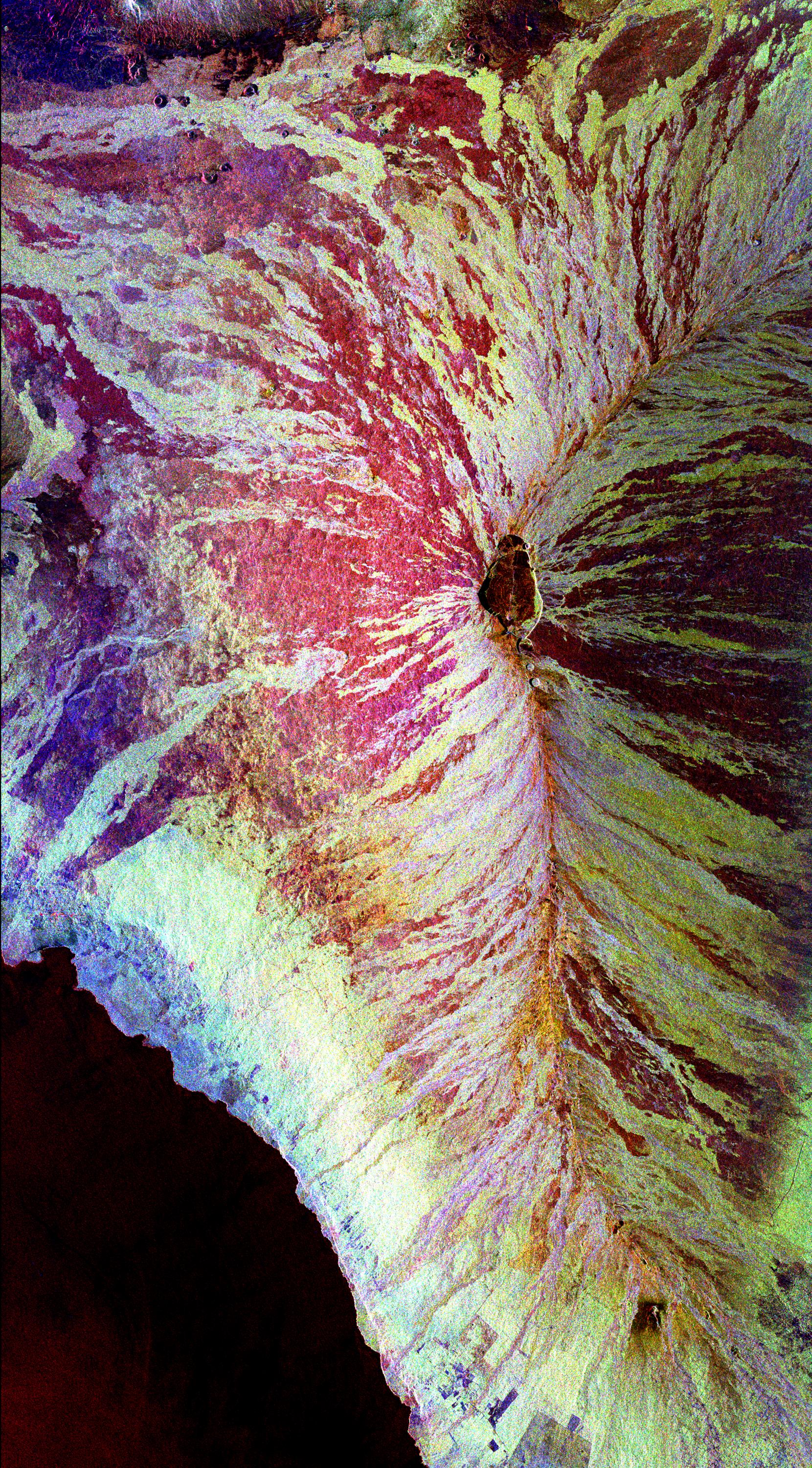
-
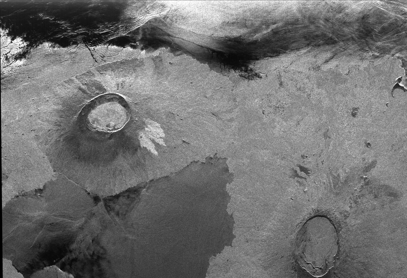
PIA00503:
-
Roter Kamm Impact Crater in Namibia
Full Resolution:
TIFF
(20.03 MB)
JPEG
(1.839 MB)
|
|
|
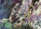
1996-10-23 |
Earth
|
Spaceborne Imaging Radar-C/X-Band Synthetic Aperture Radar
|
L-Band Imaging Radar
|
1427x976x1 |
|
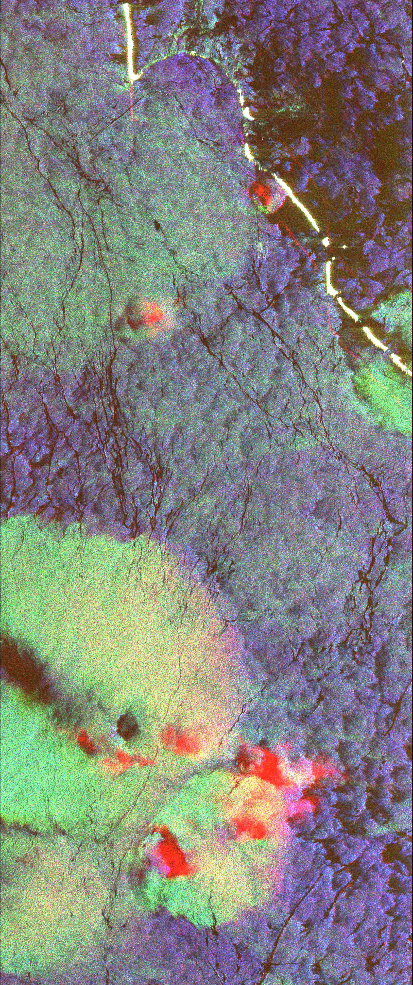
-
PIA00499:
-
Radar Image of Galapagos Island
Full Resolution:
TIFF
(1.63 MB)
JPEG
(407.5 kB)
|
 Planetary Data System


