|
Your search criteria found 2622 images Target is Earth (and available satellites) |
| My List |
Addition Date
|
Target | Mission | Instrument | Size |

|
2018-05-25 | Earth |
Terra |
ASTER |
1459x1049x3 |
|
|||||
|
|
2018-05-24 | Earth |
Terra |
ASTER |
2177x2242x3 |

|
|||||
|
|
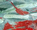
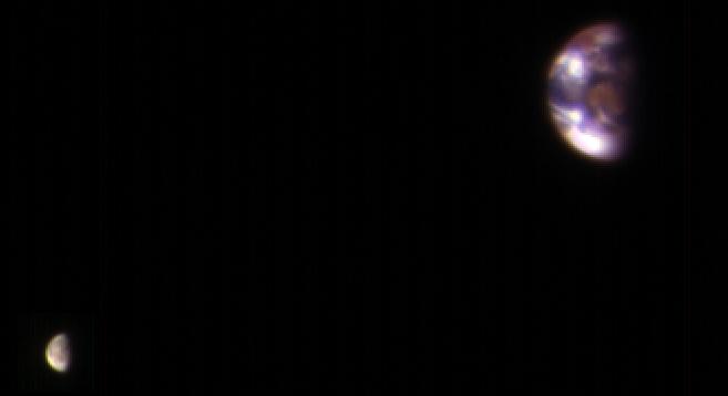
2018-05-15 | Earth |
MarCO |
1151x734x3 | |
|
|||||
|
|
2018-05-09 | Earth |
Terra |
MISR |
794x1019x3 |
|
|||||
|
|
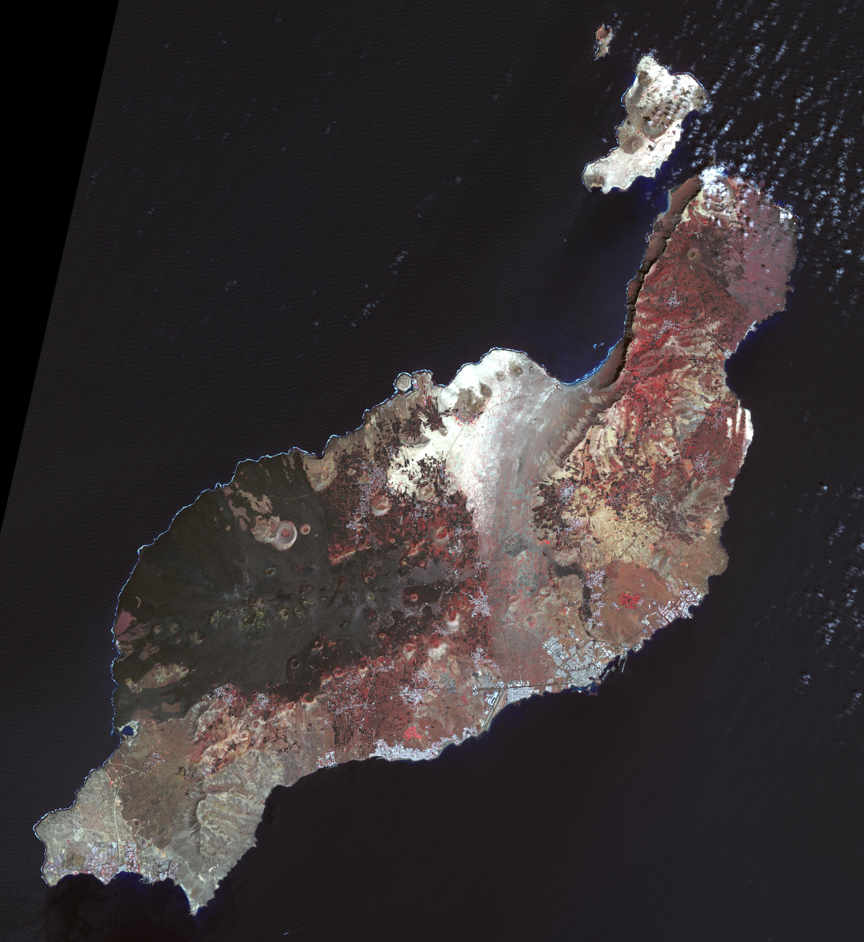
2018-05-07 | Earth |
Terra |
ASTER |
3856x4200x3 |
|
|||||
|
|
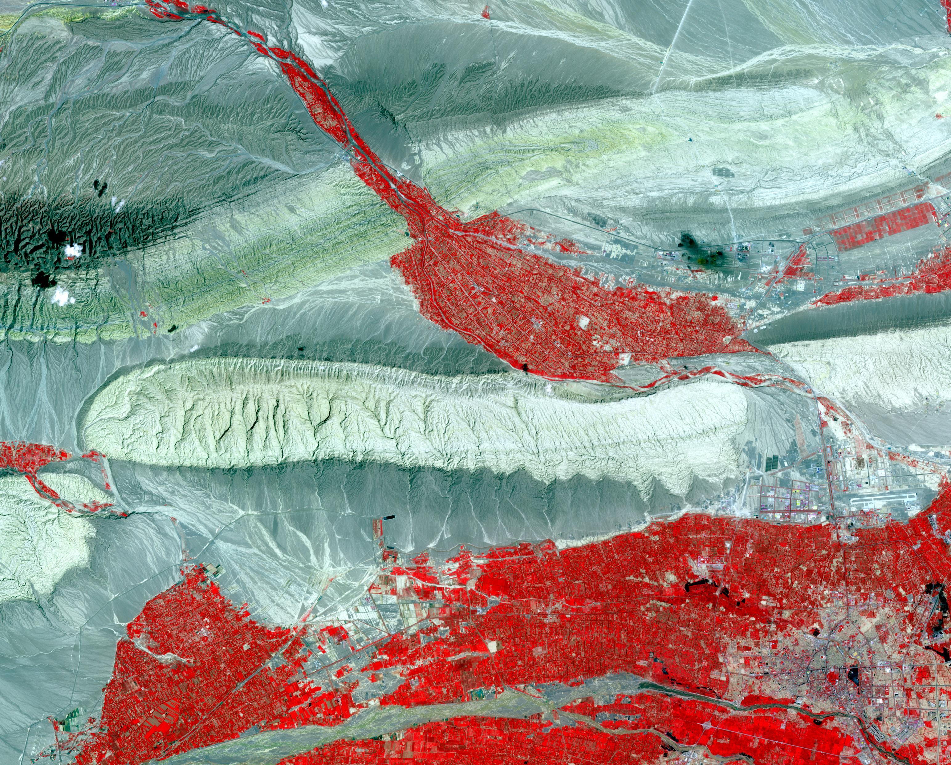
2018-05-03 | Earth |
Terra |
ASTER |
2149x1905x3 |

|
|||||
|
|
2018-05-02 | Earth |
Terra |
MISR |
792x1019x3 |
|
|||||
|
|
2018-04-13 | Earth |
Terra |
ASTER |
1365x1823x3 |
|
|||||
|
|
2018-04-12 | Earth |
ENVISAT |
2367x1334x3 | |
|
|||||
|
|
2018-03-26 | Earth |
Terra |
ASTER |
1664x1856x3 |
|
|||||
|
|
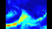
2018-03-19 | Earth |
Aqua |
AIRS |
2400x1800x3 |
|
|||||
|
|
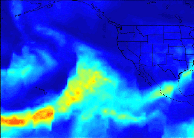
2018-03-15 | Earth | 1080x810x3 | ||
|
|||||
|
|
2018-02-22 | Earth |
Terra |
ASTER |
4410x4338x3 |

|
|||||
|
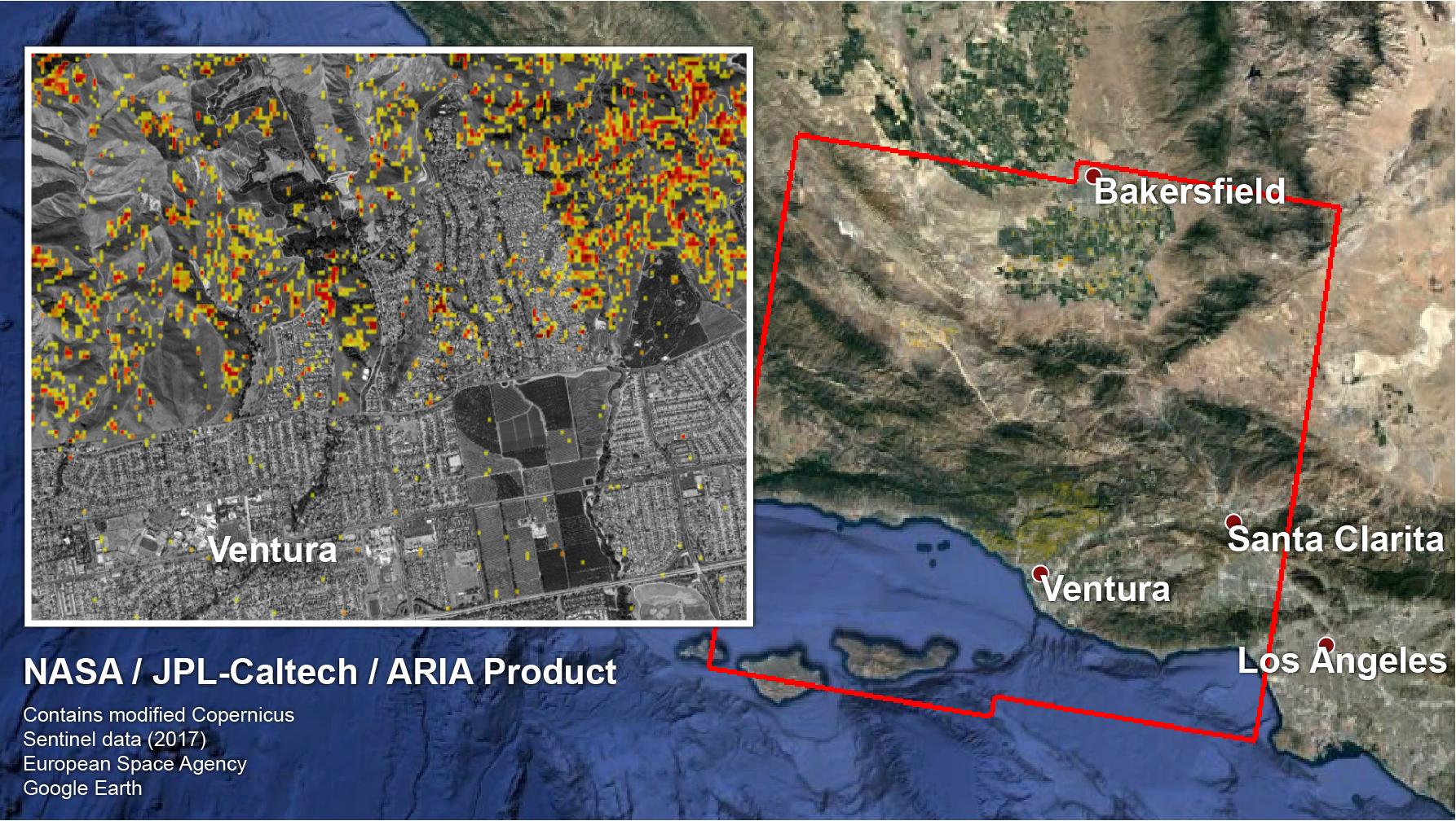
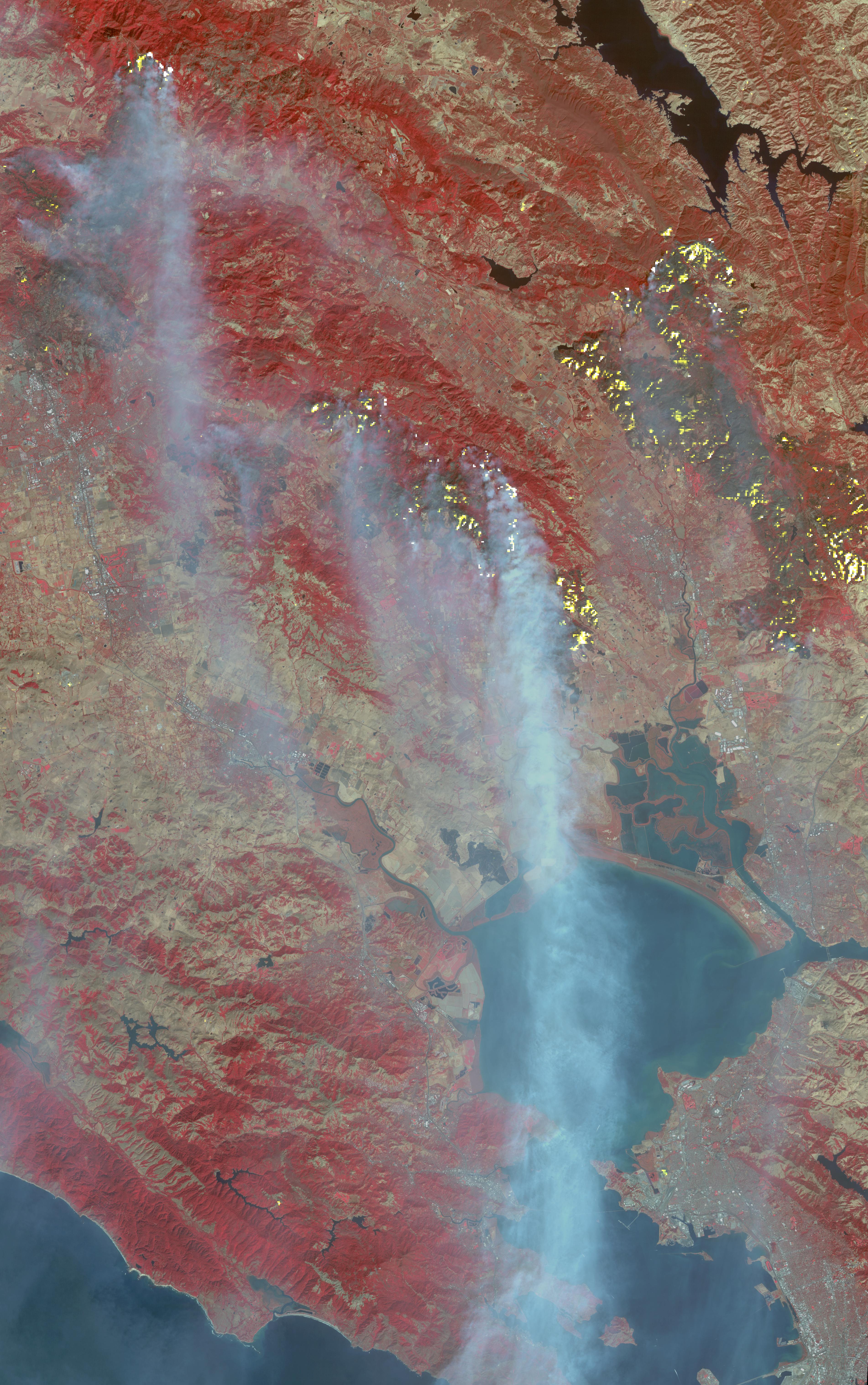
|
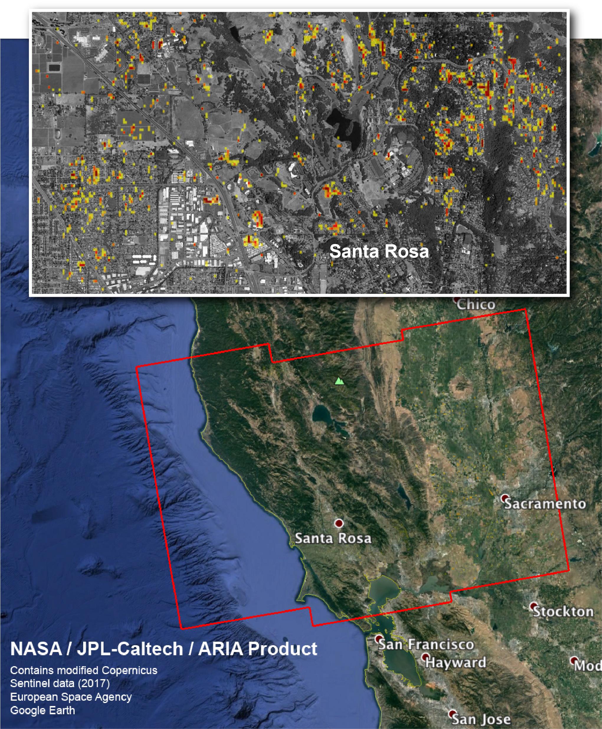
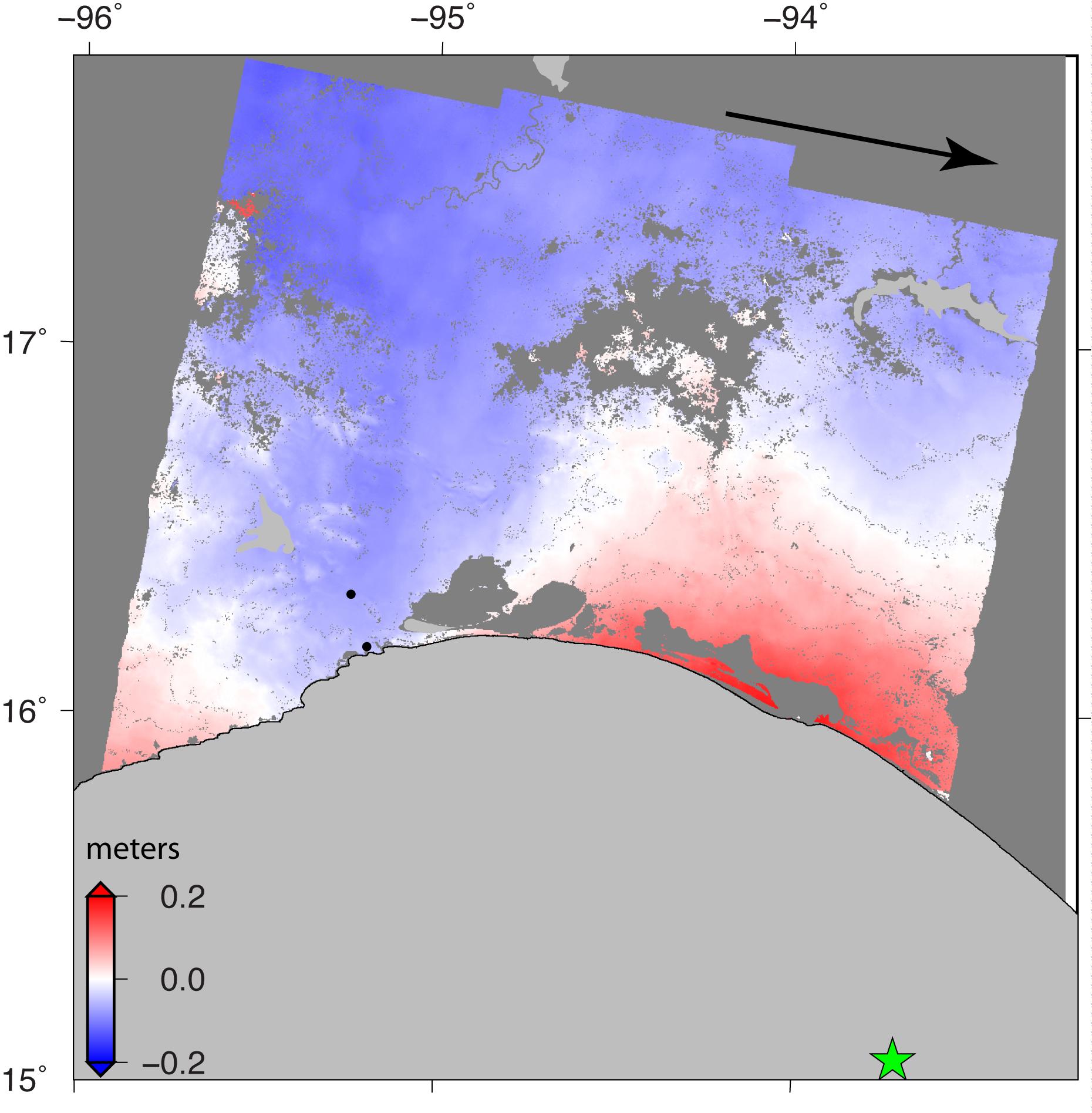
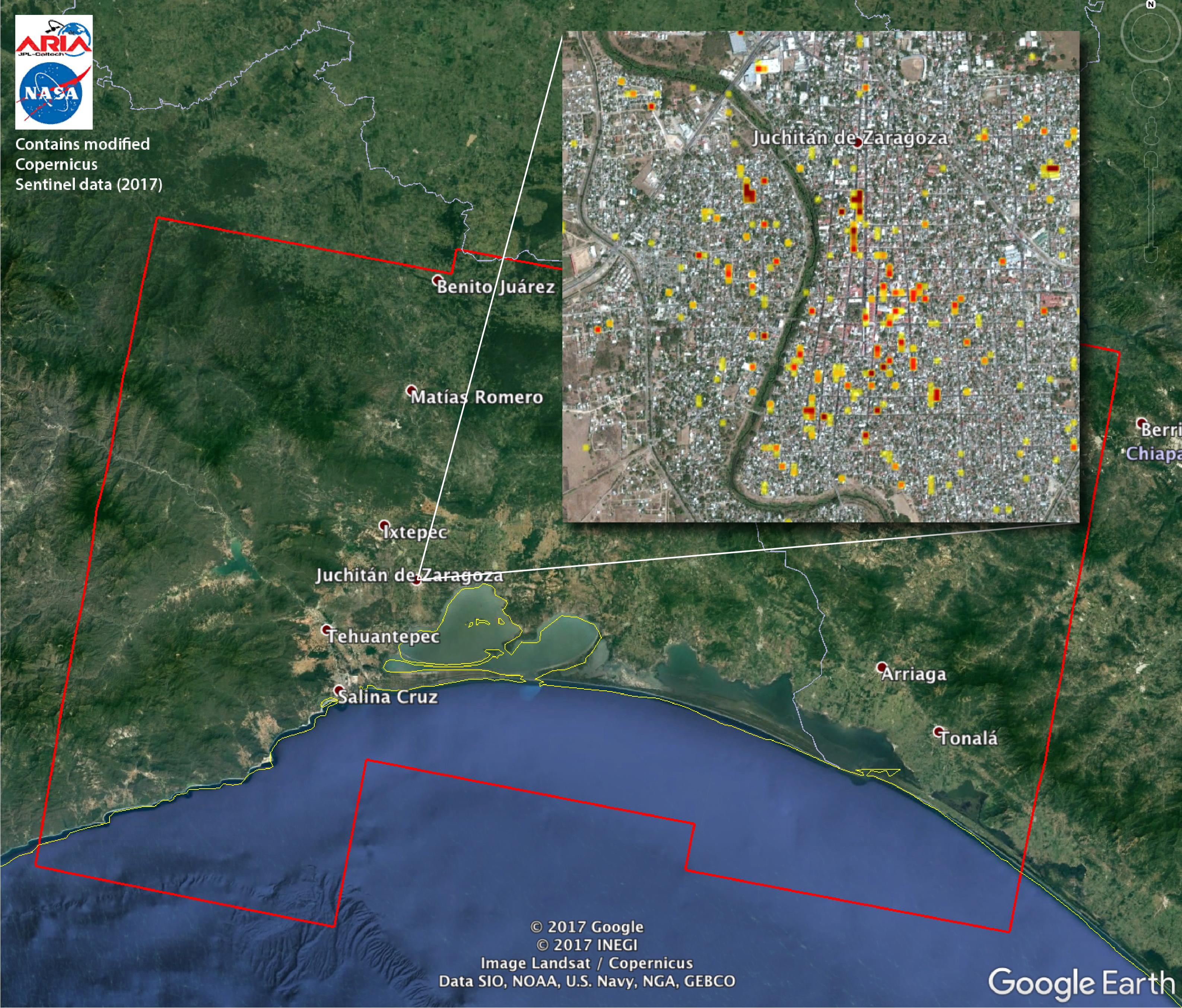
2018-02-22 | Earth |
ARIA |
2850x2116x3 | |
|
|||||
|
|
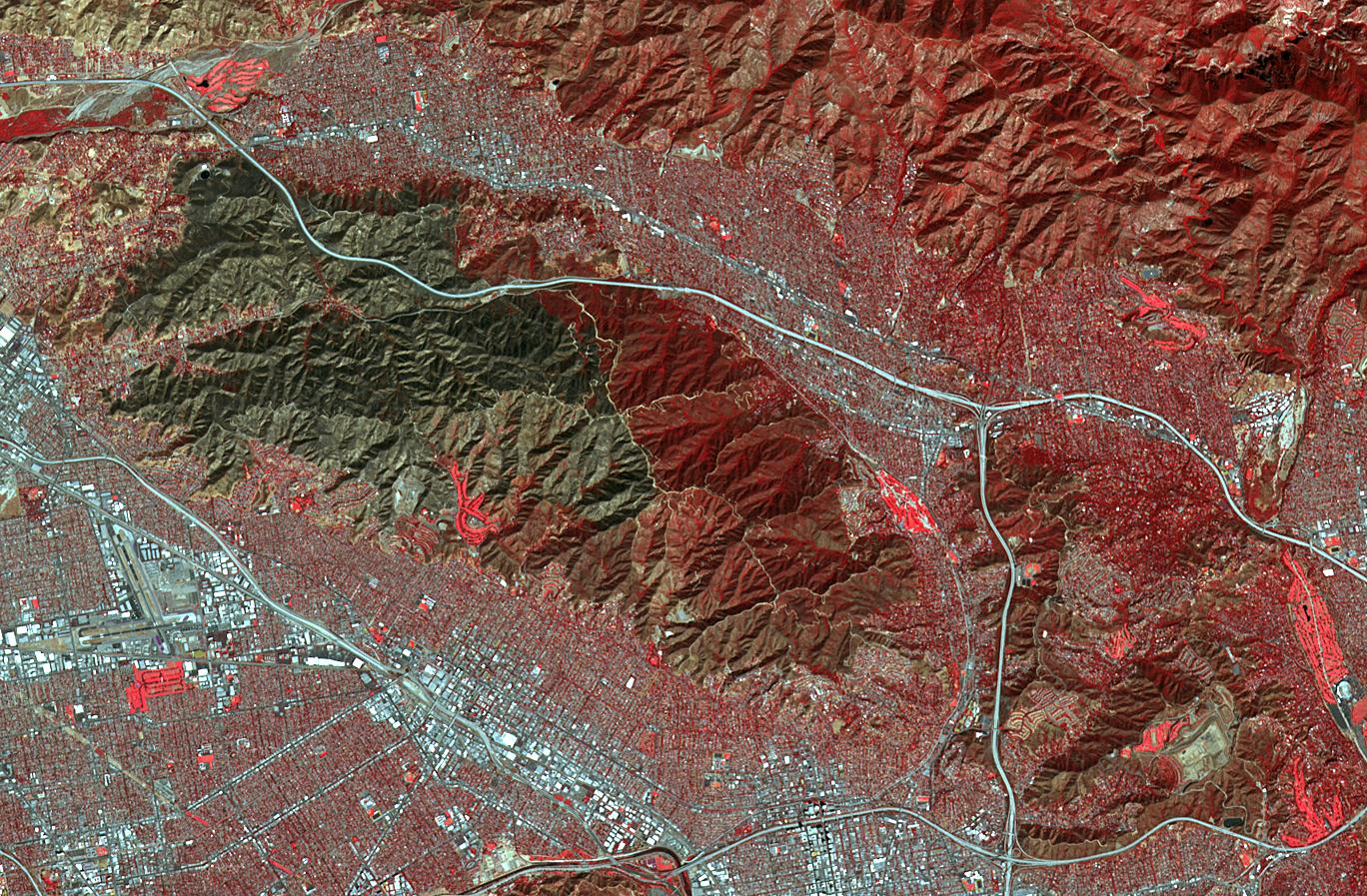
2018-02-21 | Earth | 3778x2234x3 | ||
|
|||||
|
|
2018-02-21 | Earth |
ARIA |
4568x3022x3 | |

|
|||||
|
|
2018-02-15 | Earth | 6176x4063x3 | ||
|
|||||
|
|
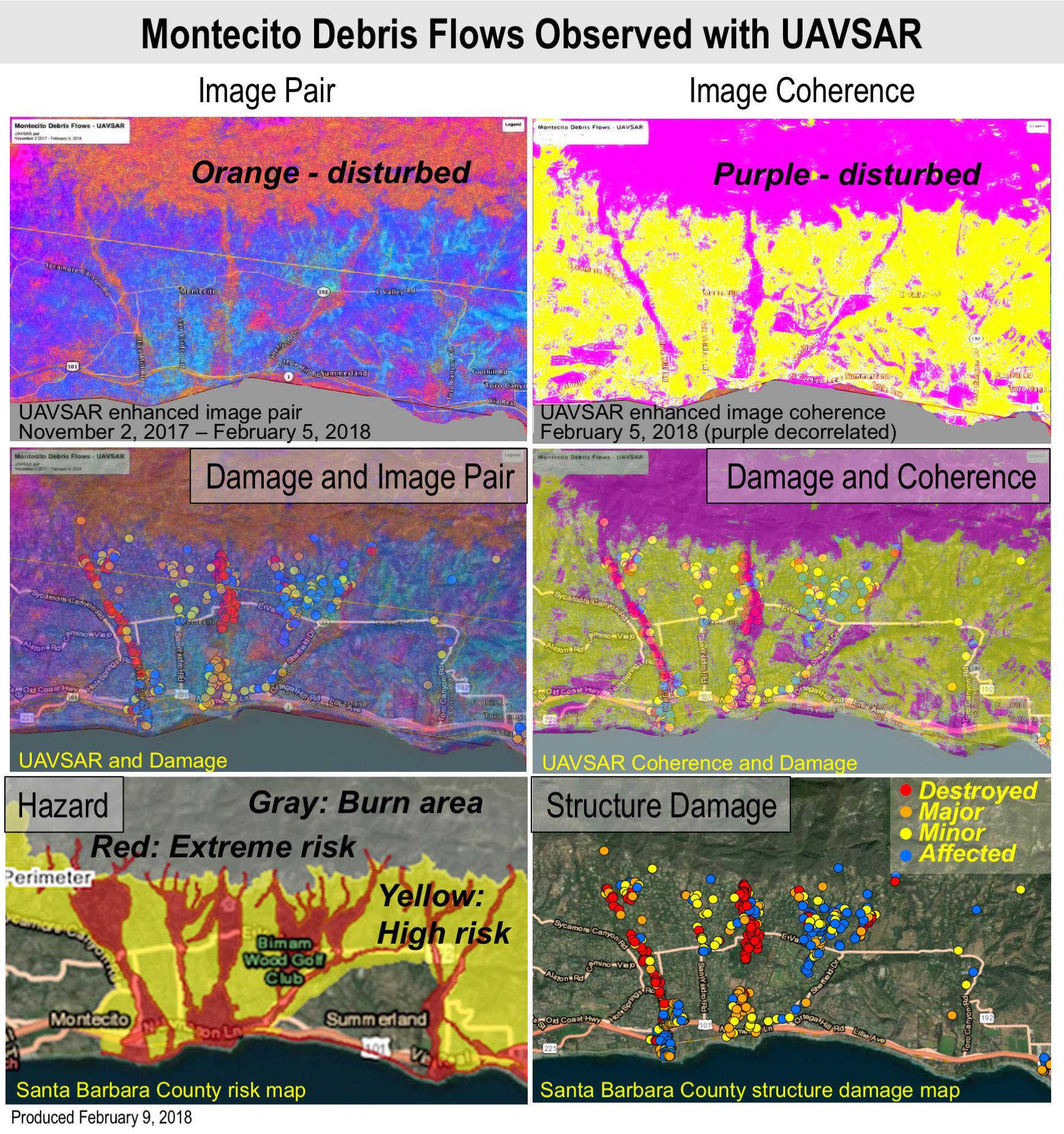
2018-02-12 | Earth |
UAVSAR |
L-Band UAVSAR |
1738x1853x3 |
|
|||||
|
|
2018-02-01 | Earth |
Terra |
ASTER |
3180x3548x3 |
|
|||||
|
|
2018-01-10 | Earth |
Terra |
ASTER |
613x720x3 |
|
|||||
|
|
2018-01-05 | Earth |
Terra |
ASTER |
4122x2206x3 |

|
|||||
|
|
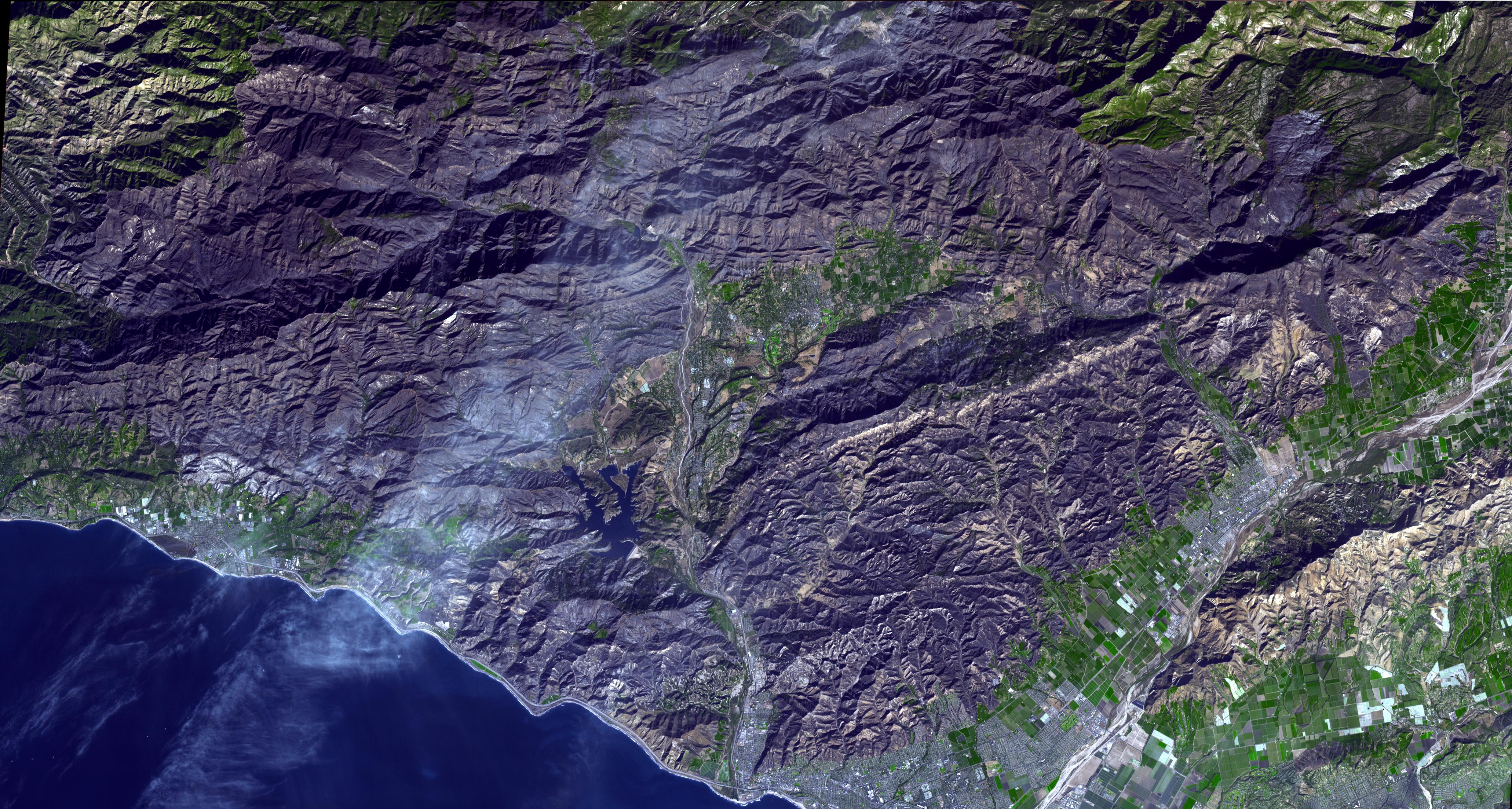
2017-12-18 | Earth |
Terra |
ASTER |
900x650x3 |
|
|||||
|
|
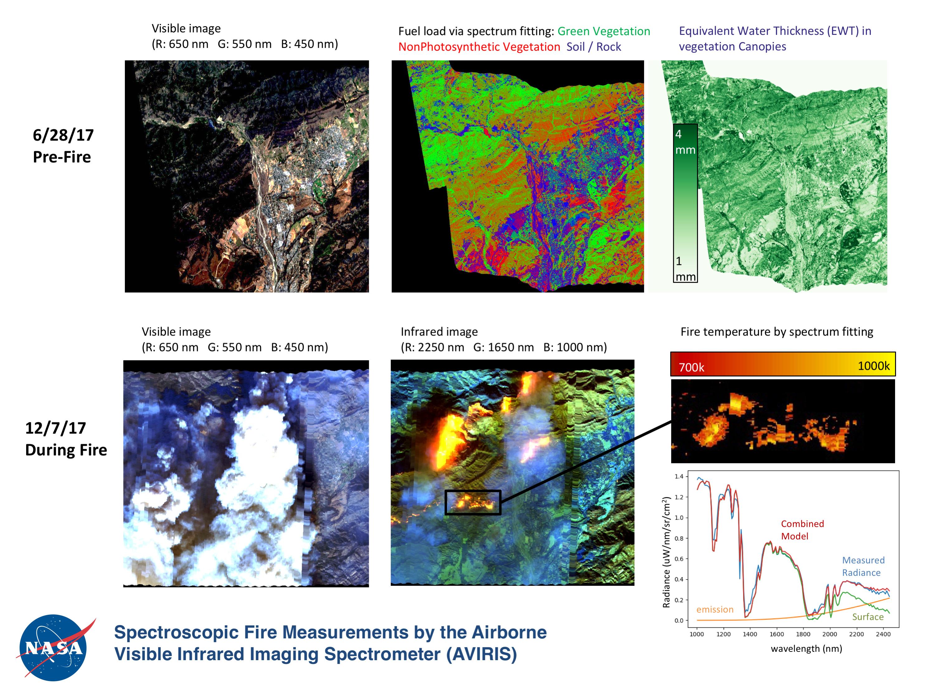
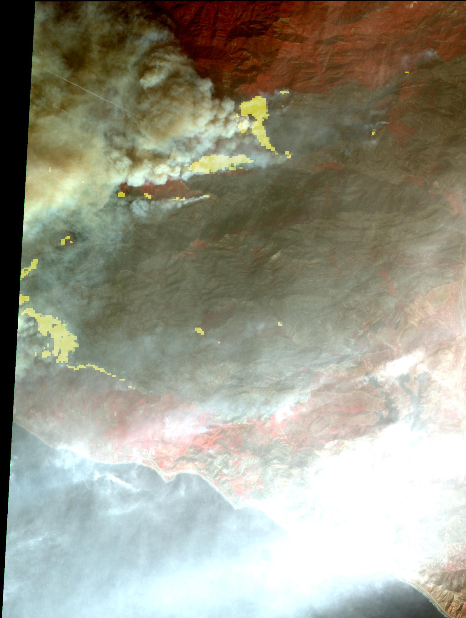
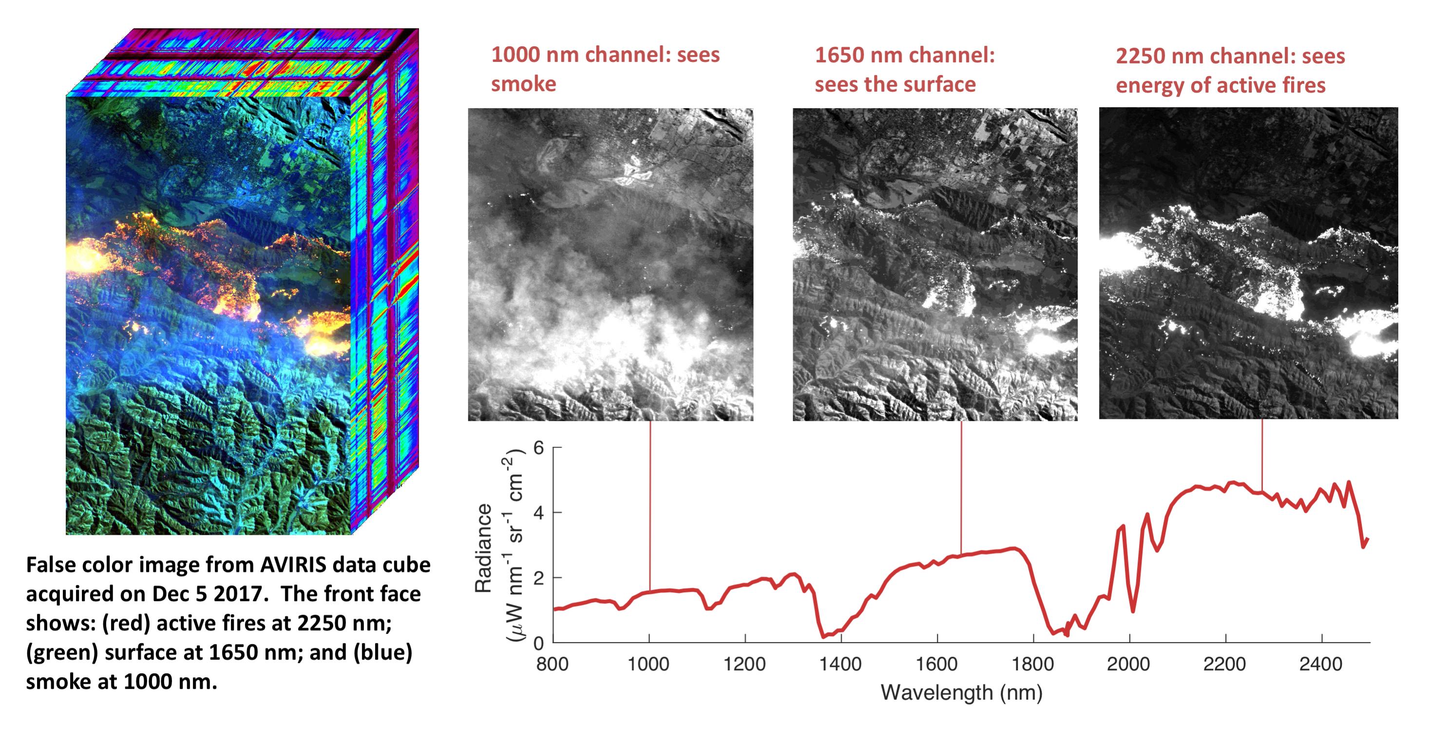
2017-12-15 | Earth |
Earth Observing System (EOS) |
AVIRIS |
2999x2249x3 |
|
|||||
|
|
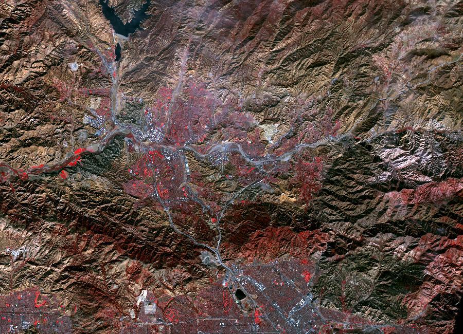
2017-12-14 | Earth |
ARIA |
1786x1008x3 | |
|
|||||
|
|
2017-12-11 | Earth |
Terra |
ASTER |
1584x2100x3 |
|
|||||
|
|
2017-12-10 | Earth |
Terra |
ASTER |
1319x1185x3 |

|
|||||
|
|
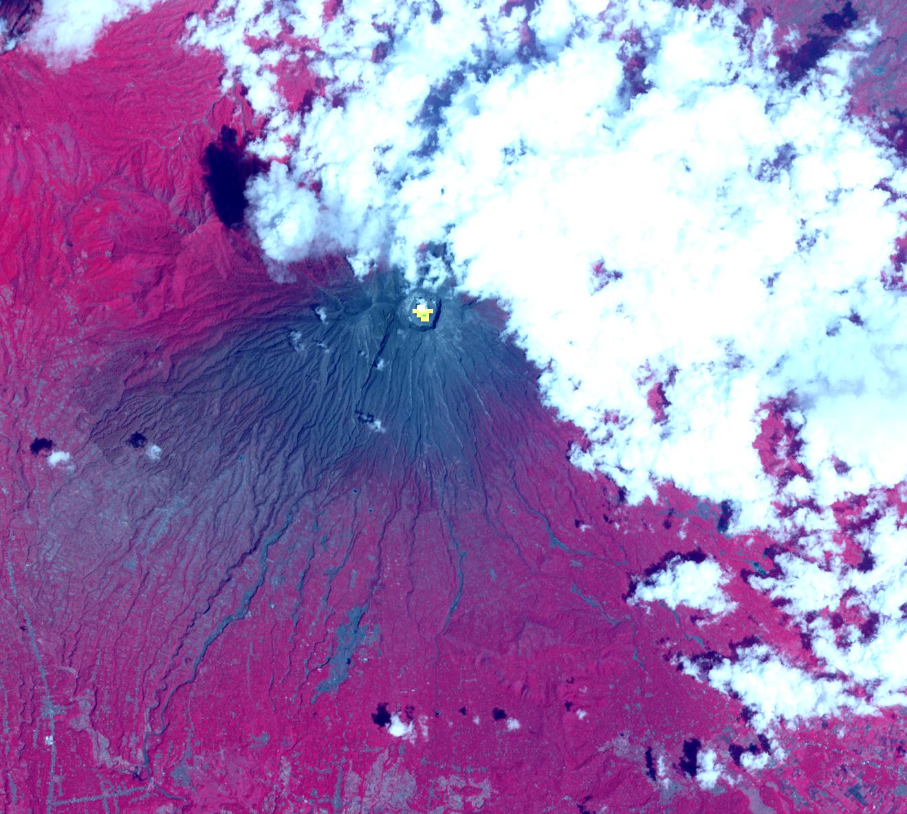
2017-12-08 | Earth |
Earth Observing System (EOS) |
AVIRIS |
2933x1520x3 |
|
|||||
|
|
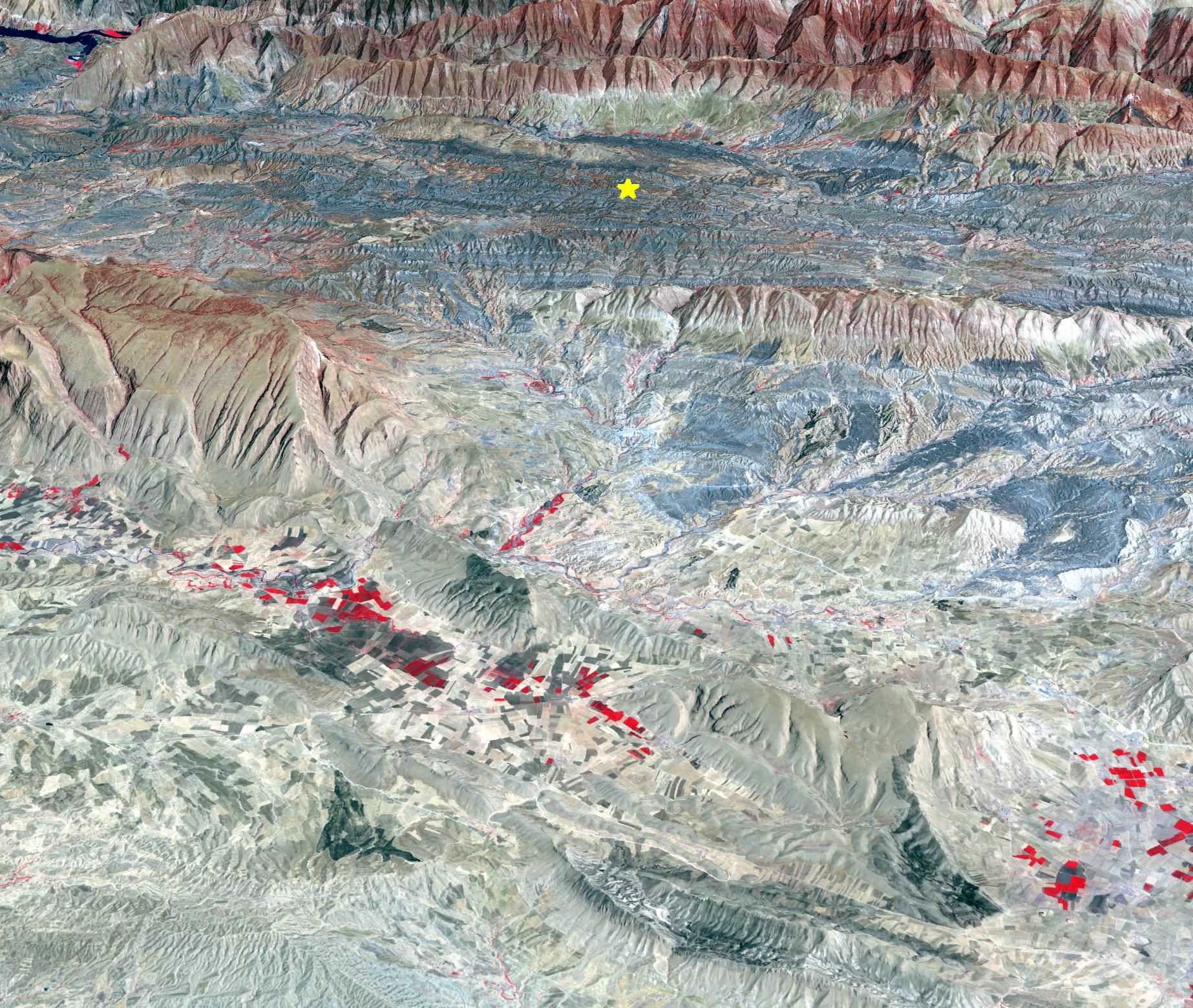
2017-11-28 | Earth |
Terra |
ASTER |
2318x1015x3 |
|
|||||
|
|
2017-11-15 | Earth |
Terra |
ASTER |
1846x1561x3 |
|
|||||
|
|
2017-10-31 | Earth |
Terra |
ASTER |
2302x2601x3 |
|
|||||
|
|
2017-10-31 | Earth |
Terra |
ASTER |
2543x2473x3 |
|
|||||
|
|
2017-10-23 | Earth |
Terra |
ASTER |
4098x4175x3 |
|
|||||
|
|
2017-10-18 | Earth |
ARIA |
2041x2471x3 | |
|
|||||
|
|
2017-10-13 | Earth |
Terra |
ASTER |
3804x6066x3 |

|
|||||
|
|
2017-10-09 | Earth |
Terra |
ASTER |
1368x897x3 |
|
|||||
|
|
2017-10-06 | Earth |
Terra |
ASTER |
471x301x1 |
|
|||||
|
|
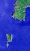
2017-10-02 | Earth |
Terra |
ASTER |
2670x3669x3 |

|
|||||
|
|
2017-09-29 | Earth |
ARIA |
2206x2112x3 | |

|
|||||
|
|
2017-09-26 | Earth |
ARIA |
1600x900x3 | |

|
|||||
|
|
2017-09-20 | Earth |
ARIA |
2512x2290x3 | |
|
|||||
|
|
2017-09-20 | Earth |
ARIA |
1860x1896x3 | |
|
|||||
|
|
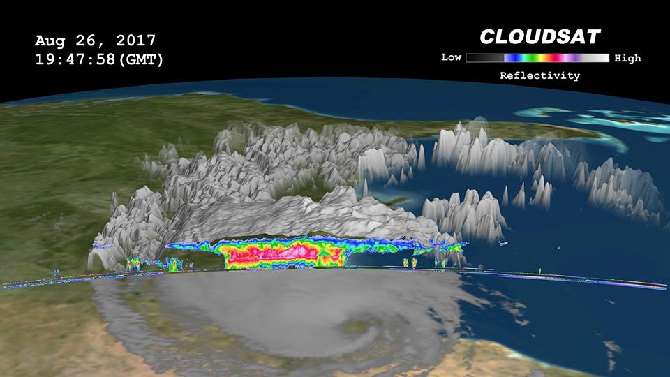
2017-09-20 | Earth |
CloudSat |
Cloud Profiling Radar (CPR) |
1672x938x3 |
|
|||||
|
|
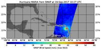
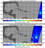
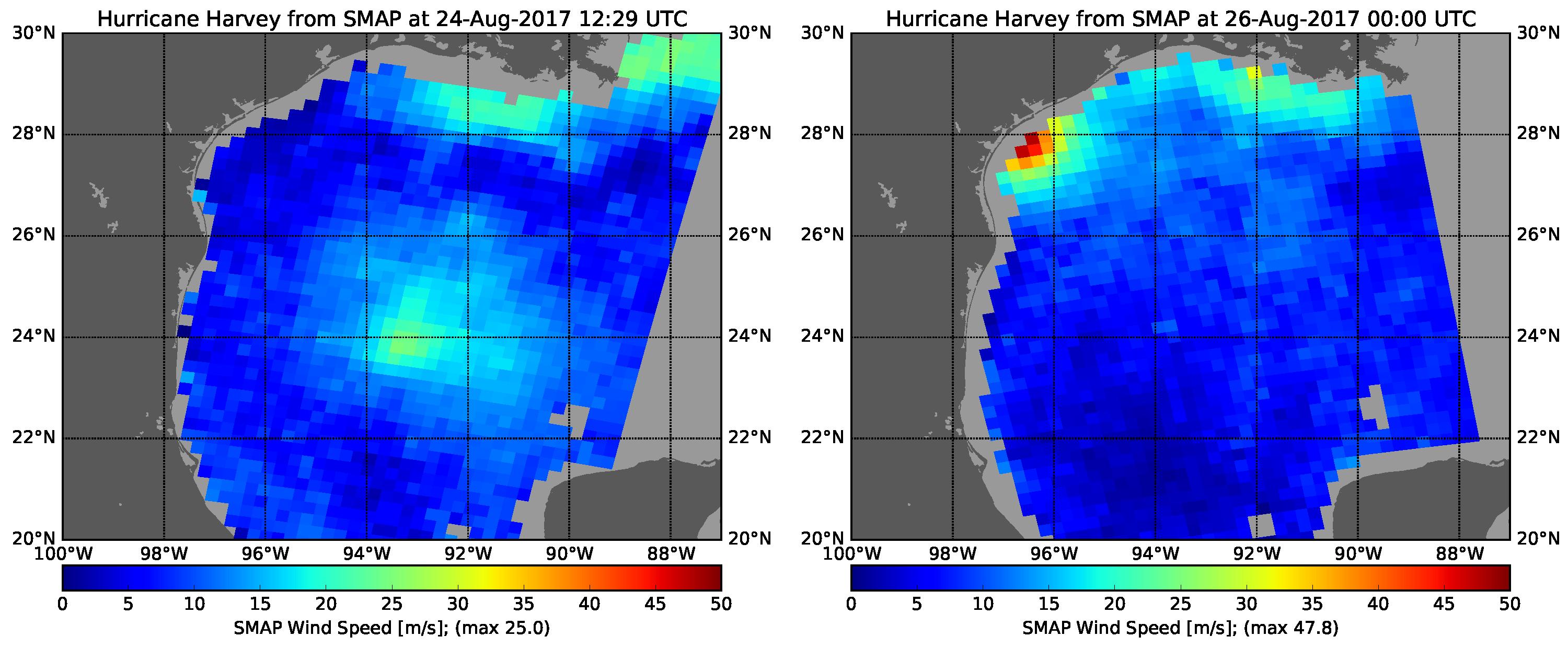
2017-09-19 | Earth |
SMAP |
1808x895x3 | |
|
|||||
|
|
2017-09-19 | Earth |
Terra |
MISR |
2304x3584x3 |
|
|||||
|
|
2017-09-19 | Earth |
ARIA |
3174x2707x3 | |

|
|||||
|
|
2017-09-18 | Earth |
Terra |
ASTER |
1228x894x3 |
|
|||||
|
|
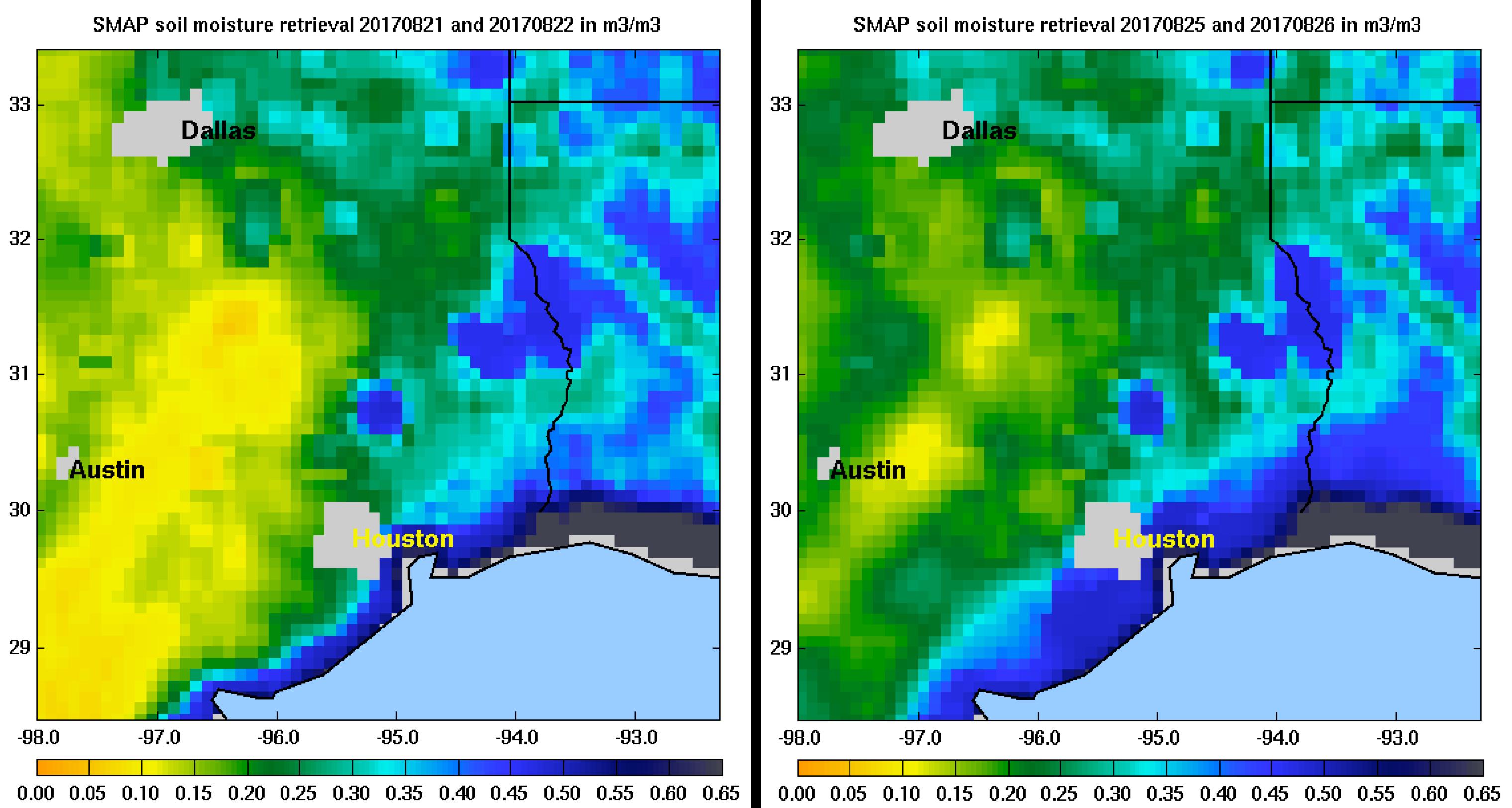
2017-09-13 | Earth |
SMAP |
5882x1662x3 | |
|
|||||
|
|
2017-09-08 | Earth |
Aqua |
AIRS |
1920x1080x3 |

|
|||||
|
|
2017-09-08 | Earth |
Terra |
MISR |
4715x4843x3 |
|
|||||
|
|
2017-09-08 | Earth |
Terra |
MISR |
5484x1331x3 |
|
|||||
|
|
2017-09-08 | Earth |
CloudSat |
Cloud Profiling Radar (CPR) |
1672x938x3 |
|
|||||
|
|
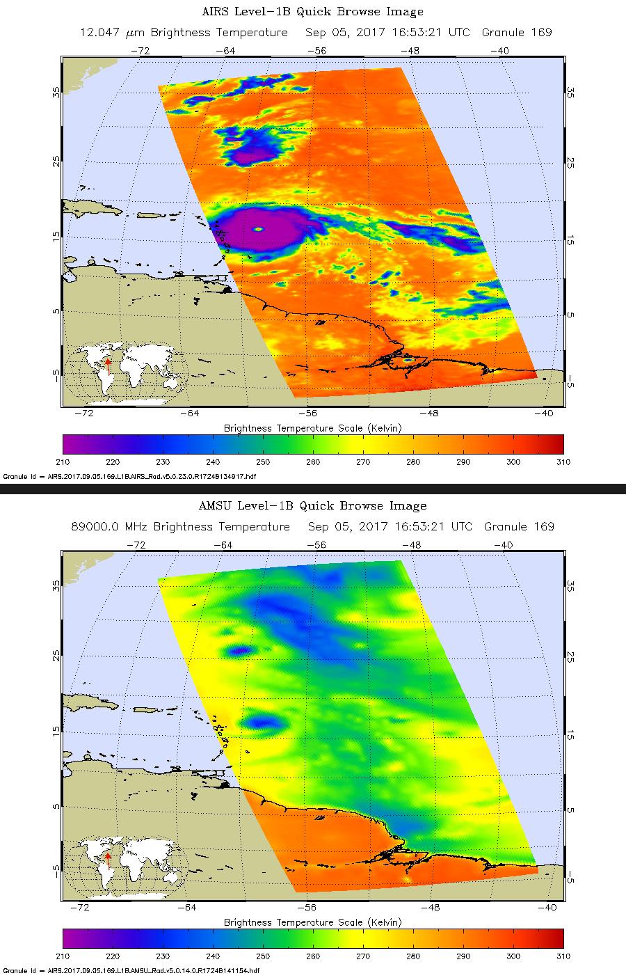
2017-09-05 | Earth |
Aqua |
AIRS |
900x1405x3 |
|
|||||
|
|
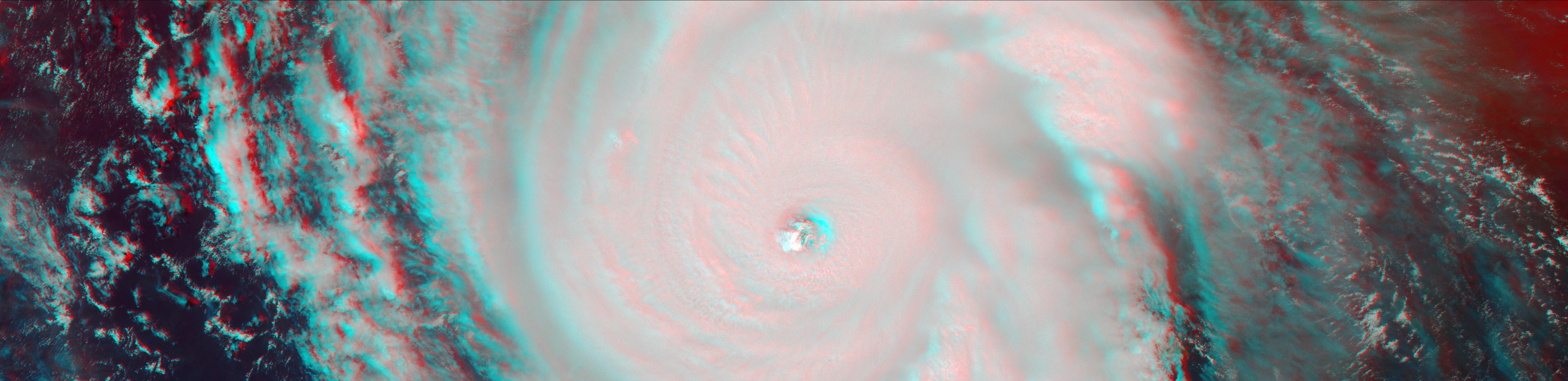
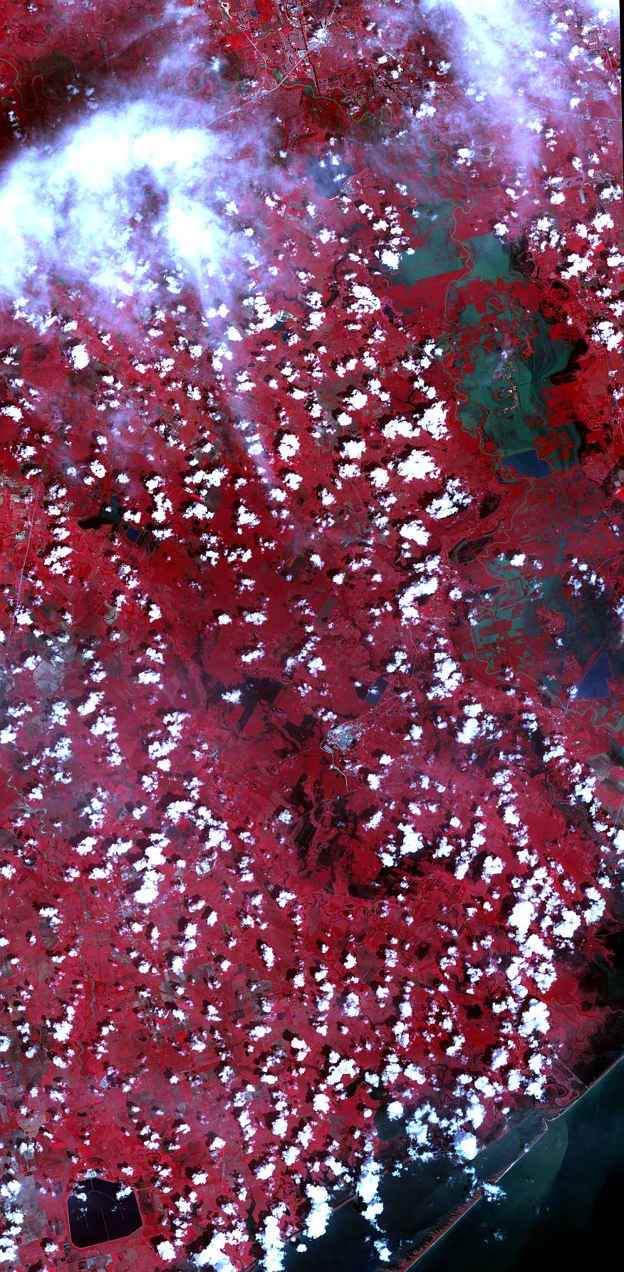
2017-09-05 | Earth |
Terra |
ASTER |
876x1786x3 |
|
|
|||||
|
|
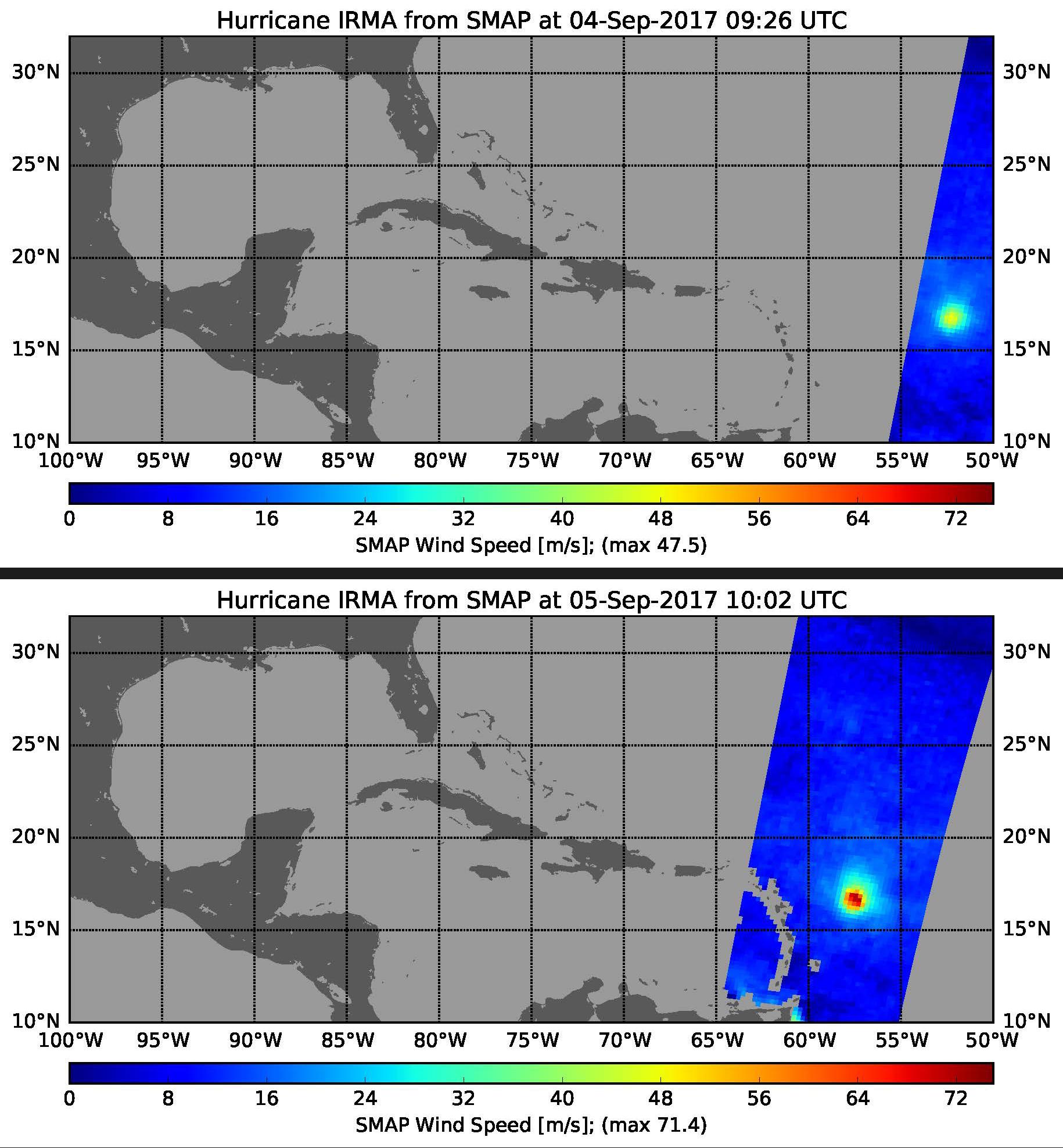
2017-09-05 | Earth |
SMAP |
1830x1976x3 | |
|
|||||
|
|
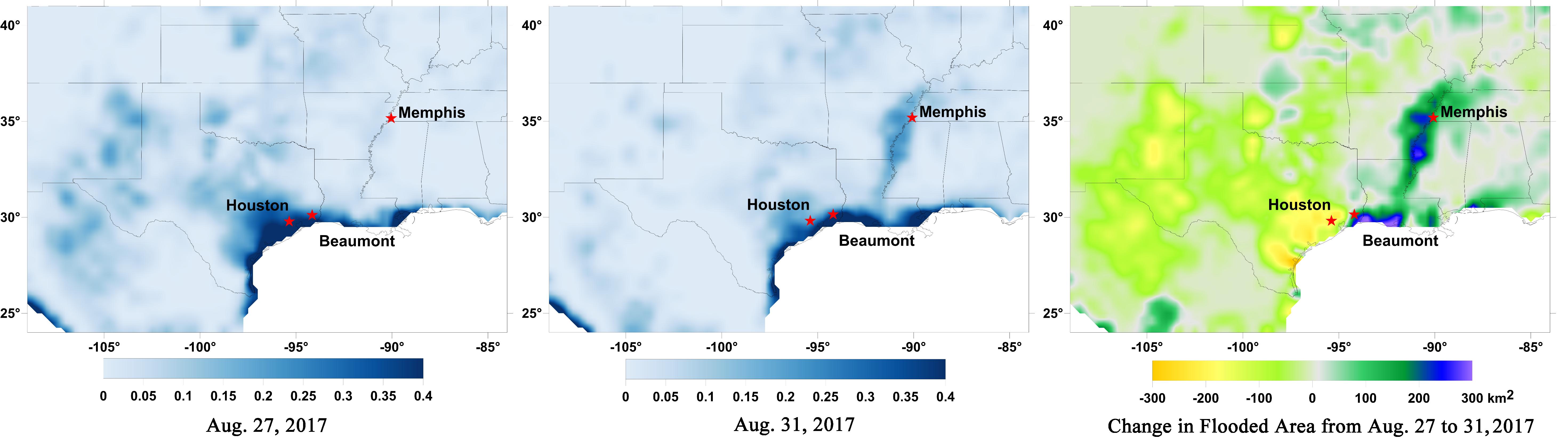
2017-08-31 | Earth |
ARIA |
811x1174x3 | |
|
|||||
|
|
2017-08-31 | Earth |
ARIA |
824x1173x3 | |
|
|||||
|
|
2017-08-30 | Earth |
SMAP |
11811x3410x3 | |
|
|||||
|
|
2017-08-30 | Earth |
ARIA |
PALSAR-2 |
1237x1222x3 |
|
|||||
|
|
2017-08-30 | Earth |
Terra |
MISR |
5816x5120x3 |
|
|||||
|
|
2017-08-29 | Earth |
CloudSat |
Cloud Profiling Radar (CPR) |
960x540x3 |
|
|||||
|
|
2017-08-29 | Earth |
SMAP |
3040x1626x3 | |
|
|||||
|
|
2017-08-29 | Earth |
Terra |
ASTER |
1809x2754x3 |
|
|||||
|
|
2017-08-28 | Earth |
Aqua |
AIRS |
900x695x3 |
|
|||||
|
|
2017-08-28 | Earth |
SMAP |
3000x1240x3 | |
|
|||||
|
|
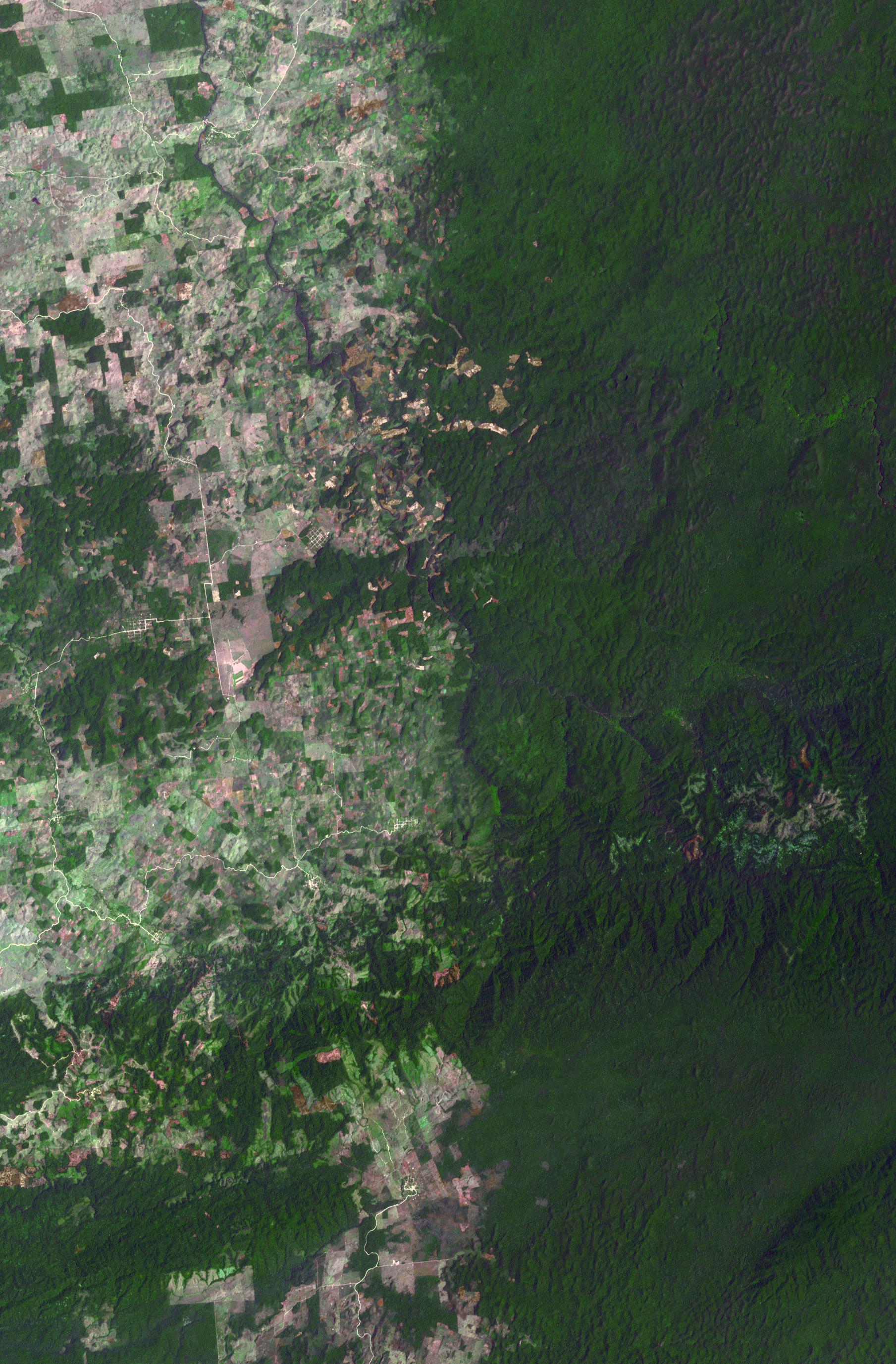
2017-08-24 | Earth |
Terra |
ASTER |
2118x2659x3 |
|
|||||
|
|
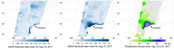
2017-08-22 | Earth |
Terra |
ASTER |
1577x1294x3 |
|
|||||
|
|
2017-08-21 | Earth |
Terra |
ASTER |
1745x1813x3 |
|
|||||
|
|
2017-08-17 | Moon |
Terra |
MISR |
600x675x1 |
|
|||||
|
|
2017-08-15 | Earth |
Terra |
ASTER |
2900x1450x3 |
|
|||||
|
|
2017-08-14 | Earth |
Terra |
ASTER |
2424x3006x3 |

|
|||||
|
|
2017-08-01 | Earth |
Terra |
ASTER |
3133x3265x3 |
|
|||||
|
|
2017-07-14 | Earth |
Suomi NPP Terra |
MODIS VIIRS |
1805x1350x1 |
|
|||||
|
|
2017-07-14 | Earth |
Terra |
ASTER |
2317x1574x3 |
|
|||||
|
|
2017-06-21 | Earth |
Terra |
MISR |
4200x3300x3 |
|
|||||
|
|
2017-06-15 | Earth |
Terra |
ASTER |
690x822x3 |

|
|||||
|
|
2017-06-02 | Earth |
Terra |
MISR |
447x447x3 |
|
|||||
|
|
2017-05-15 | Earth |
Terra |
ASTER |
1046x1058x3 |

|
|||||
|
|
2017-04-28 | Earth |
Terra |
ASTER |
3262x3671x3 |
|
|||||
|
|
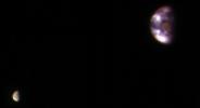
2017-04-20 | Earth |
Cassini-Huygens |
Imaging Science Subsystem |
1020x1020x1 |
|
|||||
|
|
2017-04-13 | Earth |
Terra |
ASTER |
919x1243x3 |

|
|||||
|
|
2017-04-11 | Earth |
Terra |
MISR |
2240x3584x3 |
|
|||||
|
|
2017-03-24 | Earth |
Terra |
ASTER |
1775x2267x3 |

|
|||||
|
|
2017-03-23 | Earth |
ARIA |
PALSAR-2 |
4481x2682x3 |
|
|||||
|
|
2017-03-09 | Earth |
Terra |
ASTER |
3168x2592x3 |
|
|||||
|
|
2017-02-23 | Earth |
Earth Observing-1 (EO-1) |
Hyperion Hyperspectral Imager |
1044x801x3 |
|
|||||
|
|
2017-02-15 | Earth |
Terra |
ASTER |
2385x1968x3 |
|
|||||
|
|
2017-02-01 | Earth |
Terra |
ASTER |
3996x3291x3 |

|
|||||
|
|
2017-01-25 | Earth |
Mars Reconnaissance Orbiter (MRO) |
4608x3456x3 | |

|
|||||
|
|
2017-01-13 | Earth |
Aqua |
AIRS |
649x464x3 |
|
|||||
|
|
2017-01-06 | Earth |
Mars Reconnaissance Orbiter (MRO) |
HiRISE |
657x358x3 |
|
|||||
|
|
2017-01-06 | Earth |
Terra |
ASTER |
3367x3672x3 |

|
|||||
|
|
2016-12-12 | Earth |
Terra |
ASTER |
3087x2484x3 |
|
|||||
|
|
2016-12-01 | Earth |
Terra |
ASTER |
395x655x3 |
|
|||||
|
|
2016-11-16 | Earth |
ARIA |
1119x1289x3 | |

|
|||||
|
|
2016-11-16 | Earth |
Terra |
MISR |
4200x3300x3 |
|
|||||
|
|
2016-11-16 | Earth |
Terra |
MISR |
3876x3062x3 |
|
|||||
|
|
2016-11-15 | Earth |
Terra |
ASTER |
3684x2704x3 |
|
|||||
|
|
2016-11-09 | Earth |
Terra |
ASTER |
2022x3012x3 |
|
|||||
|
|
2016-11-08 | Earth |
Terra |
ASTER |
965x757x3 |
|
|||||
|
|
2016-10-27 | Moon |
GRAIL |
2707x2832x3 | |

|
|||||

|
 |
|
|
|
 |
 |
|
|
|
|

|
| 1-100 | 101-200 | 201-300 | 301-400 | 401-500 | 501-600 | 601-700 | 701-800 | 801-900 | 901-1000 |
| Currently displaying images: 401 - 500 of 2622 |