|
Your search criteria found 2622 images Target is Earth (and available satellites) |
| My List |
Addition Date
|
Target | Mission | Instrument | Size |

|
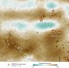
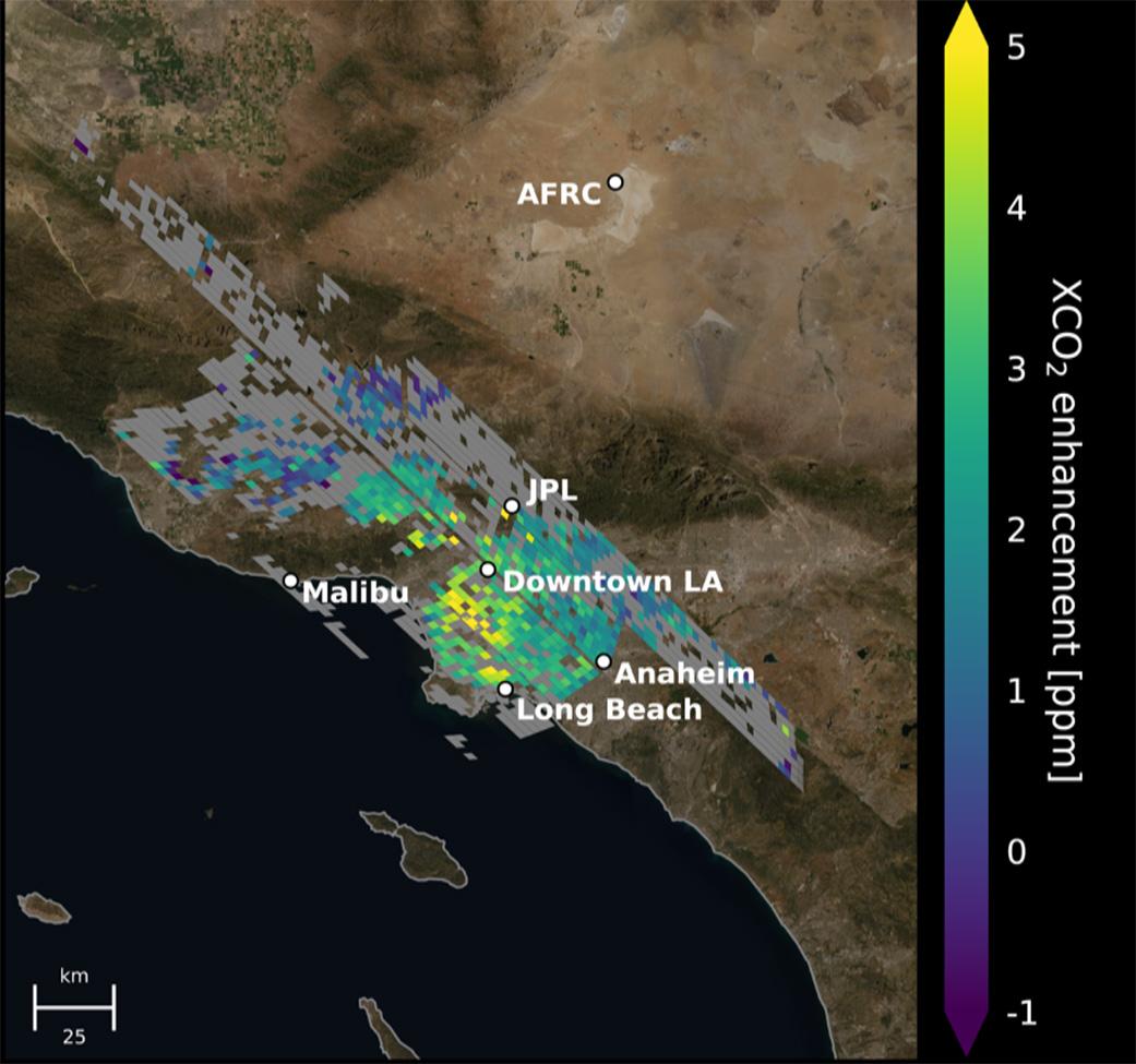
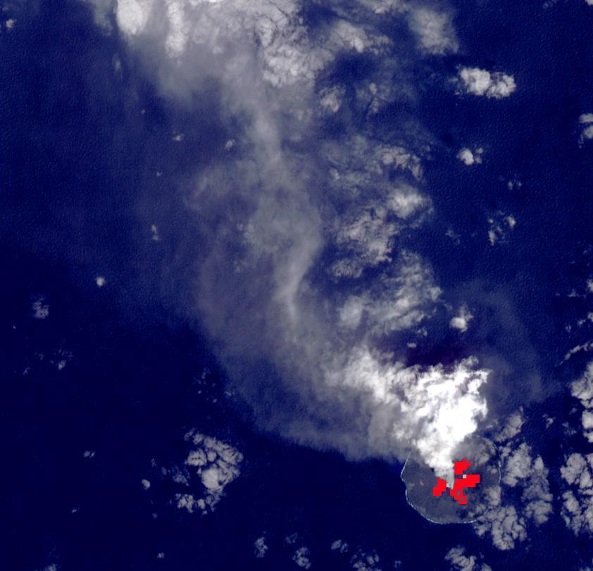
2021-06-07 | Earth |
Orbiting Carbon Observatory (OCO-3) |
OCO-3 |
1041x975x3 |

|
|||||
|
|
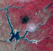
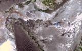
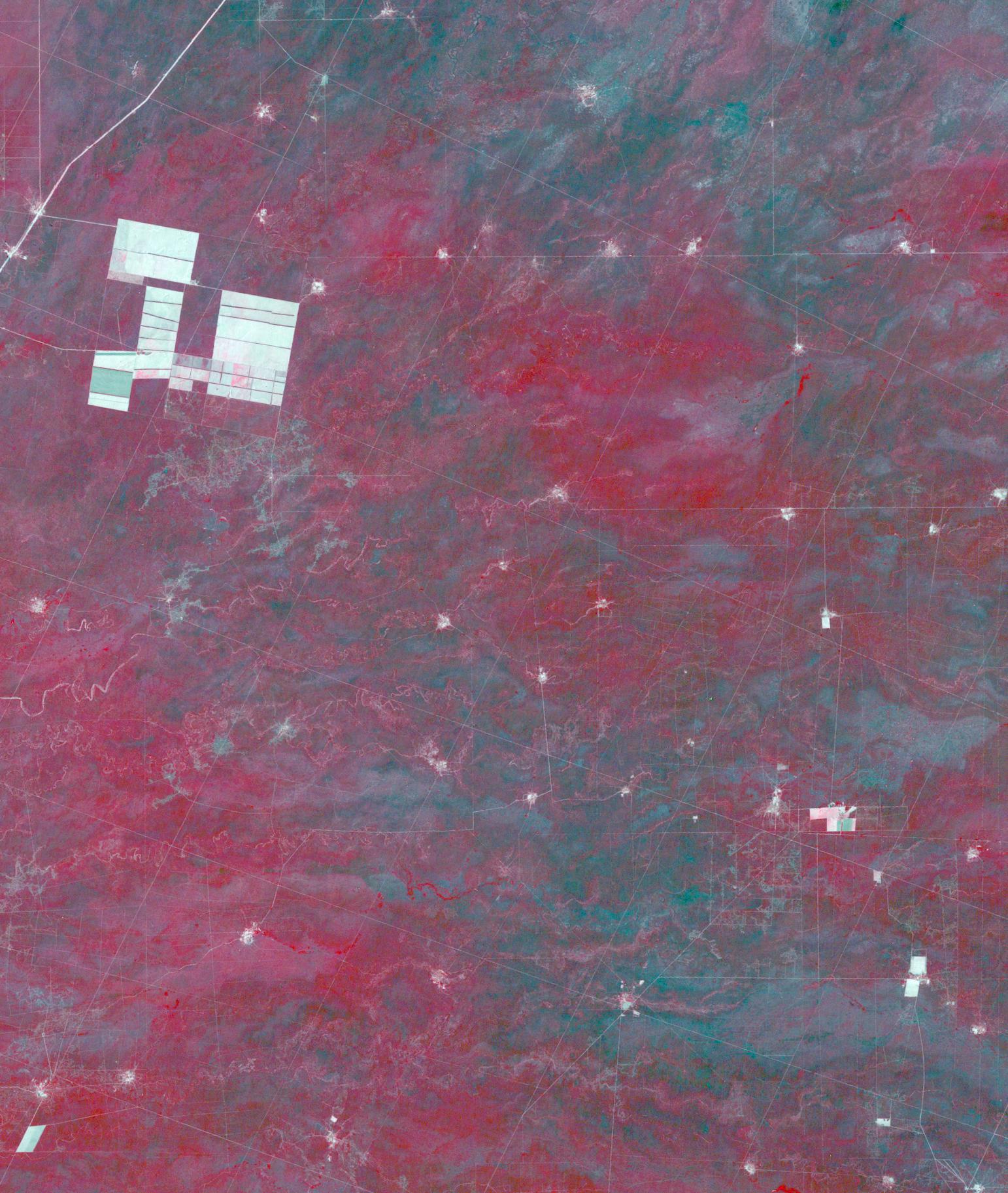
2021-05-24 | Earth |
Terra |
ASTER |
3155x2224x3 |

|
|||||
|
|
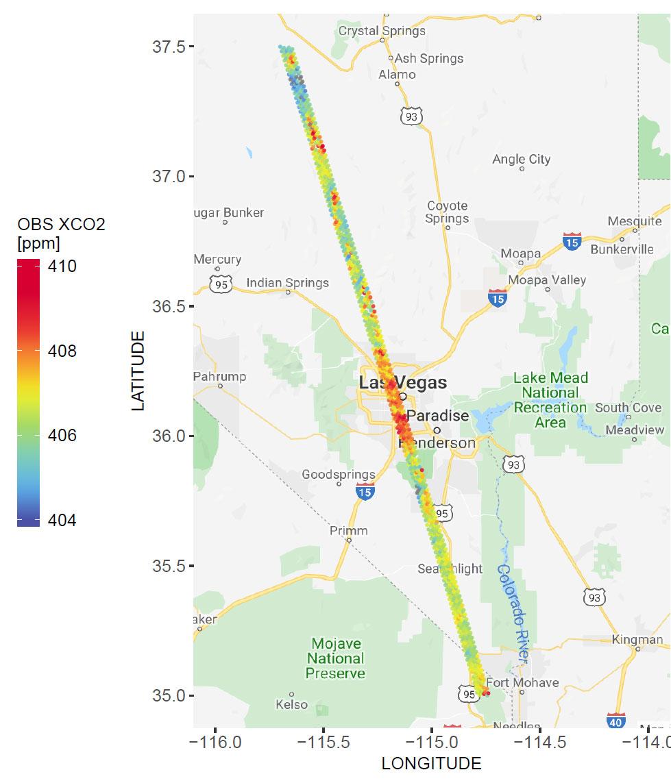
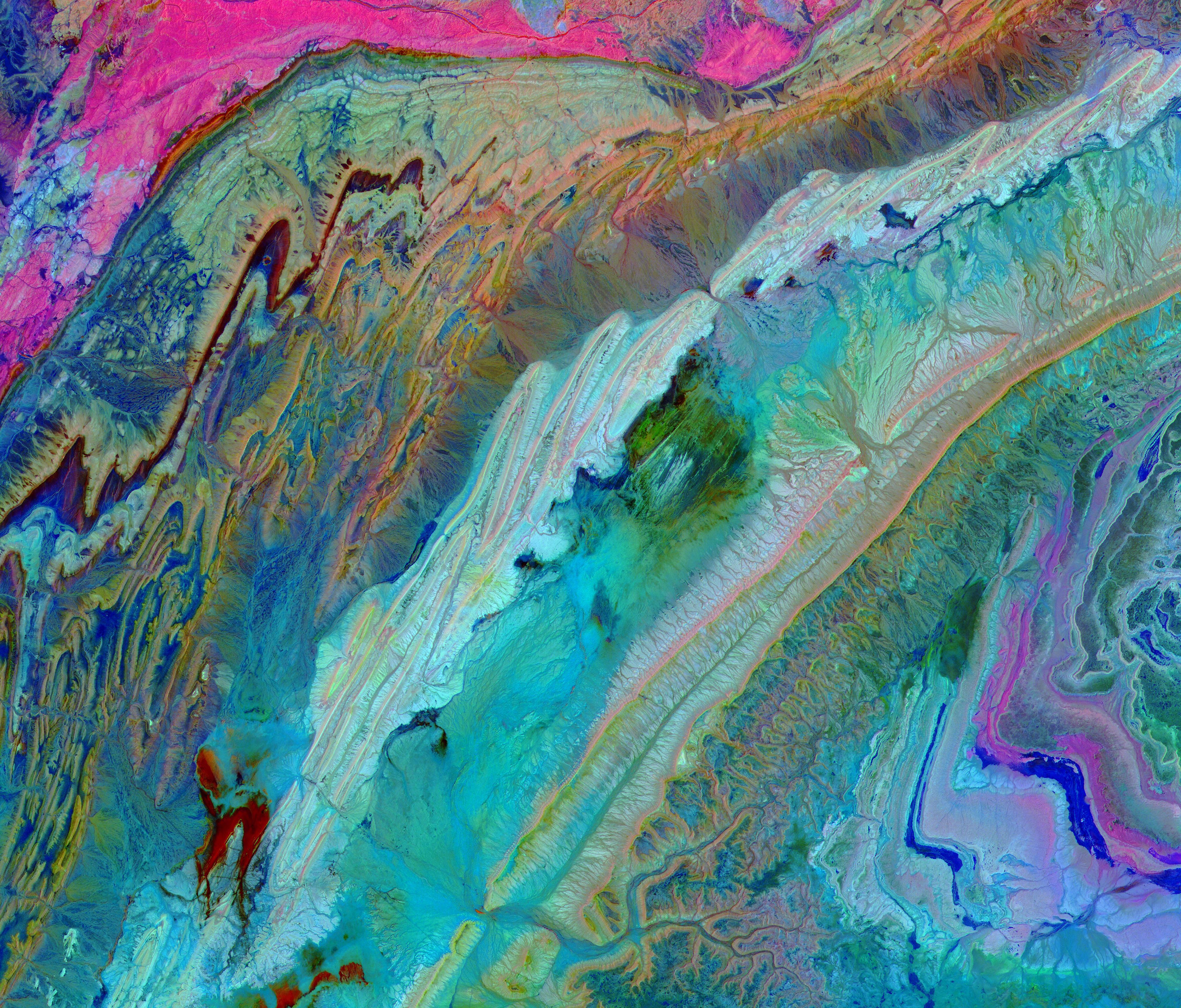
2021-05-10 | Earth |
Terra |
ASTER |
1561x1507x3 |
|
|||||
|
|
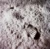
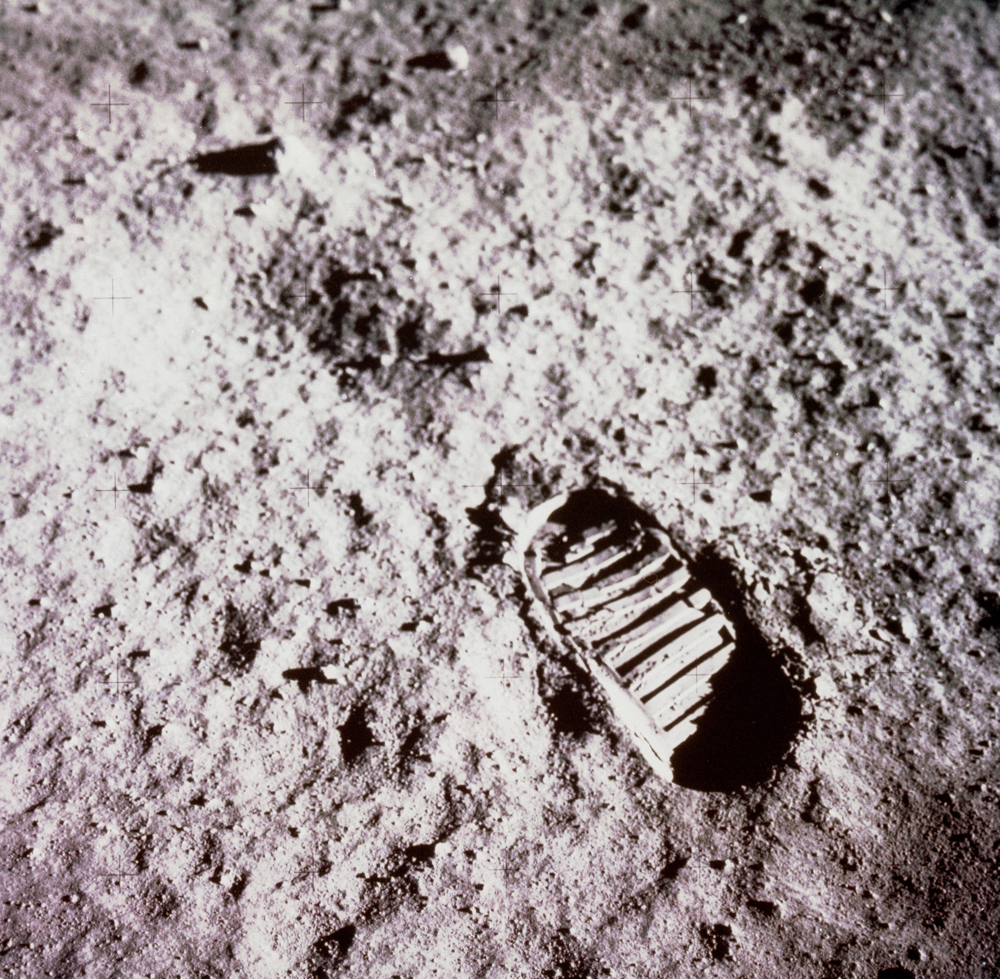
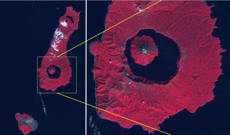
2021-04-21 | Moon |
Apollo |
3294x3226x3 | |
|
|||||
|
|
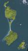
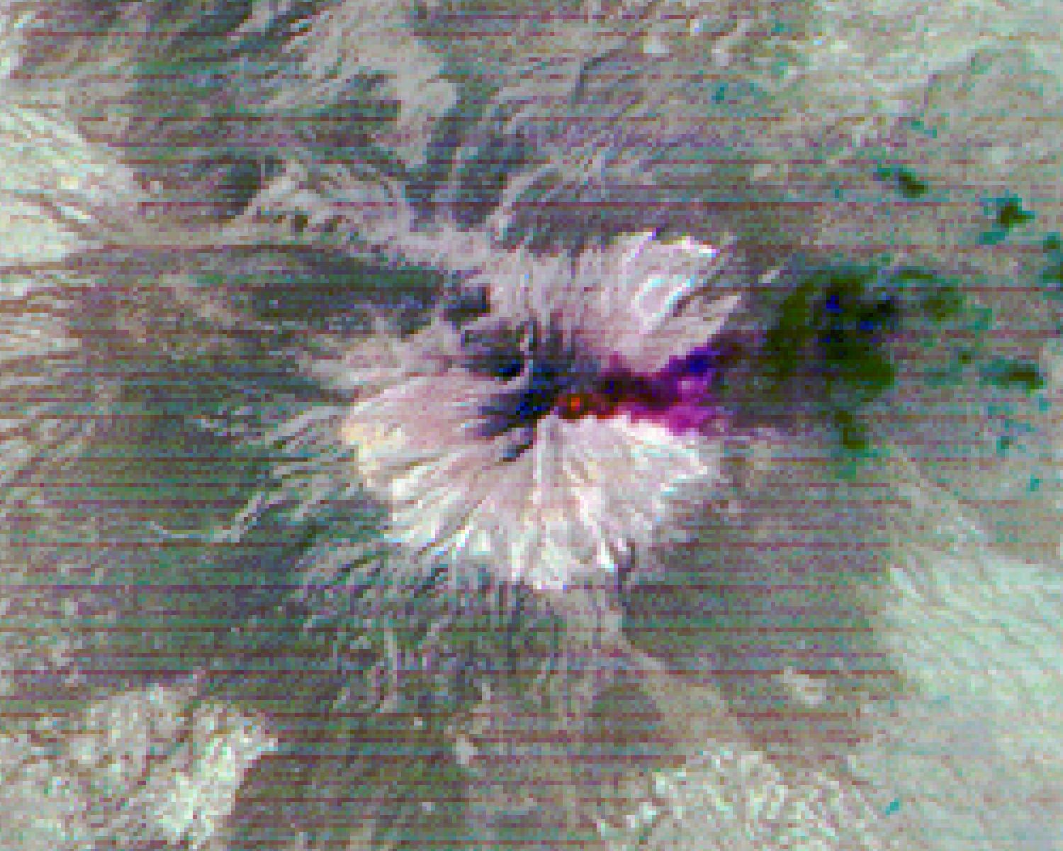
2021-04-20 | Earth |
Terra |
ASTER |
1703x3039x3 |
|
|||||
|
|
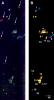
2021-04-07 | Earth |
WATSON |
2244x4128x3 | |
|
|||||
|
|
2021-04-07 | Earth |
WATSON |
2048x1536x3 | |

|
|||||
|
|
2021-04-07 | Earth |
WATSON |
2048x1536x3 | |

|
|||||
|
|
2021-04-06 | Earth |
Terra |
ASTER |
1421x1734x3 |

|
|||||
|
|
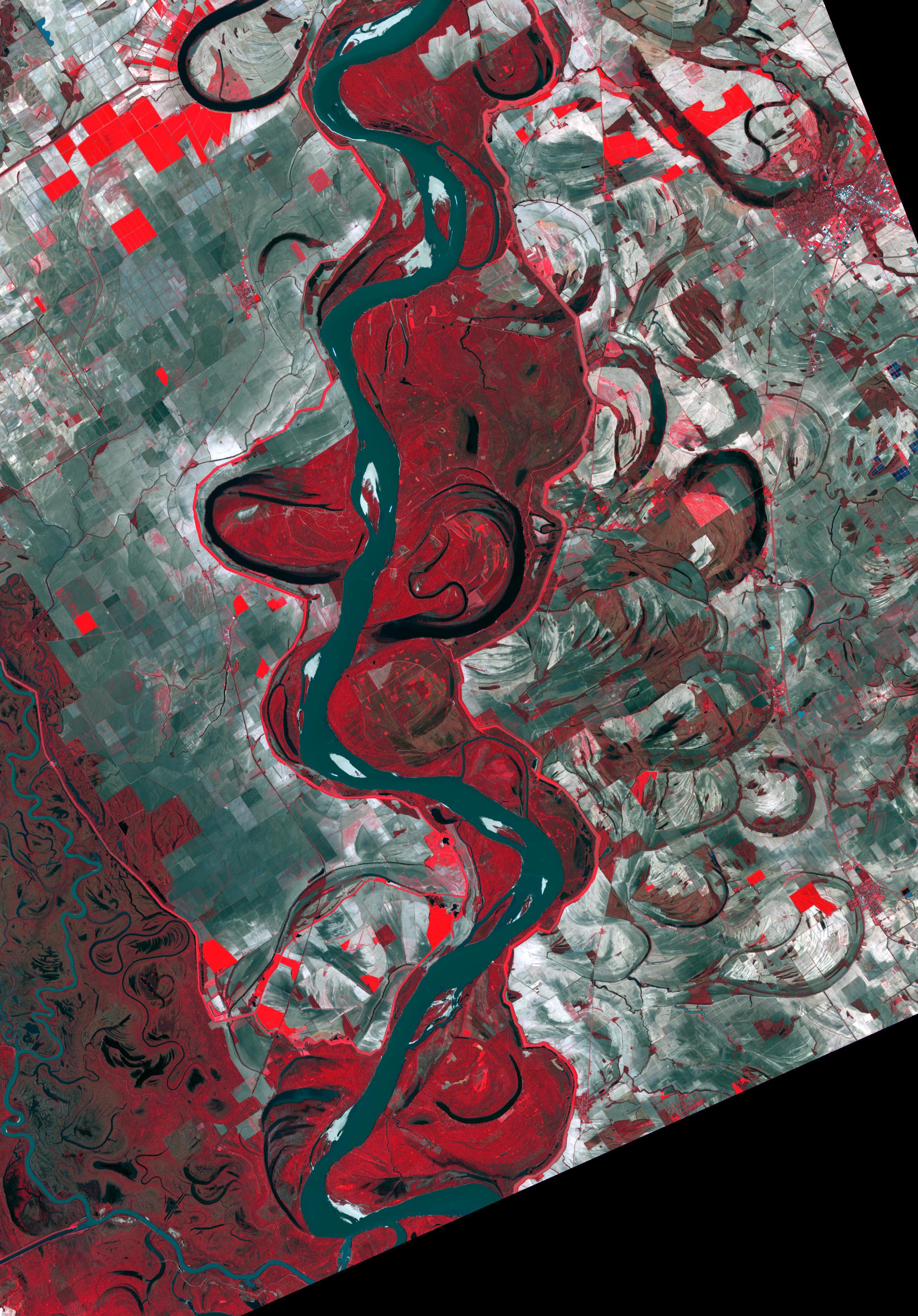
2021-03-25 | Earth |
Terra |
ASTER |
3369x2879x3 |
|
|||||
|
|
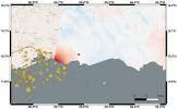
2021-03-05 | Earth |
Terra |
ASTER |
438x332x1 |

|
|||||
|
|
2021-02-26 | Earth |
Terra |
ASTER |
1867x1672x3 |
|
|||||
|
|
2021-02-23 | Earth |
Terra |
ASTER |
781x732x3 |
|
|||||
|
|
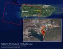
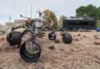
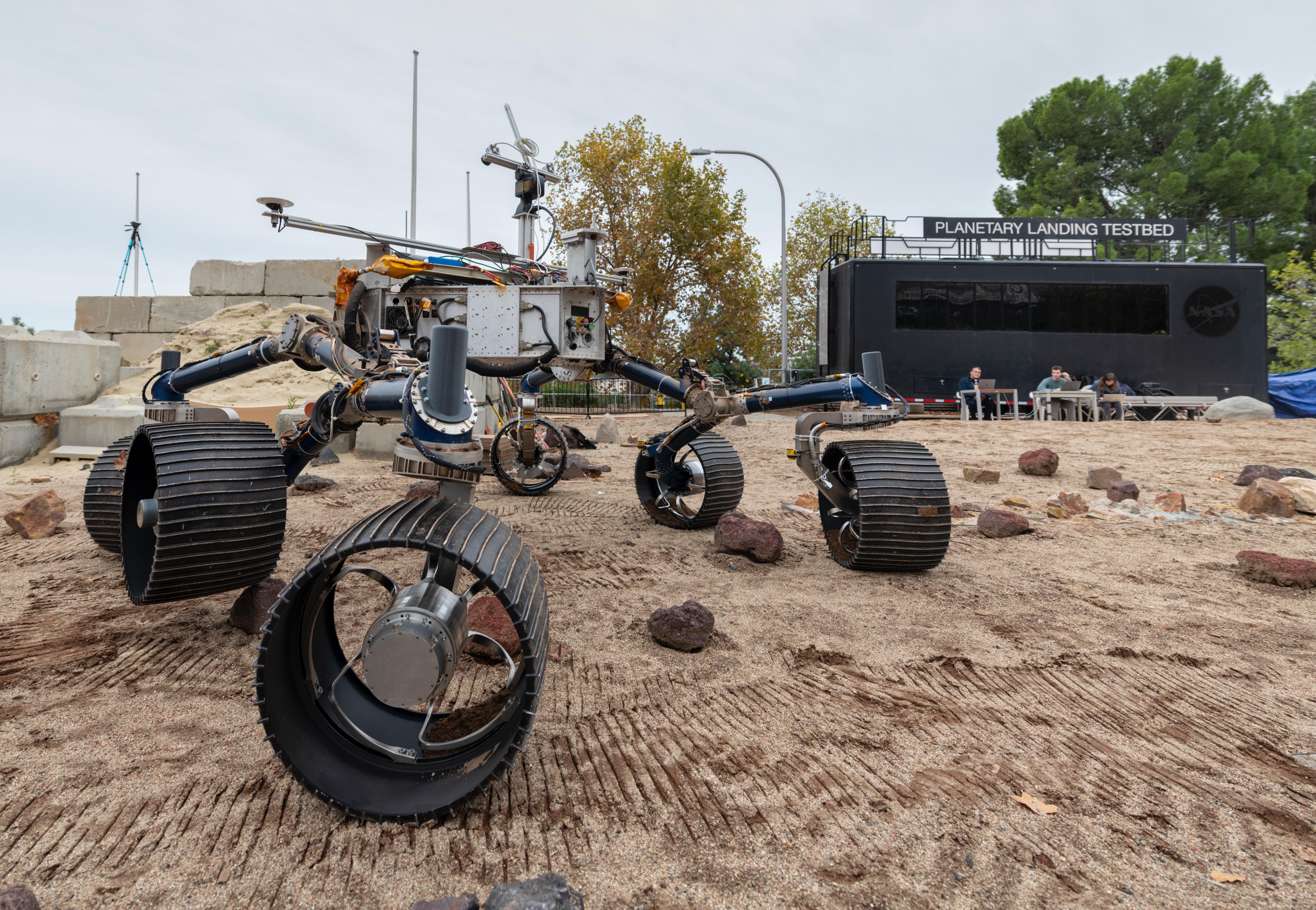
2021-02-17 | Earth |
Mars 2020 Project |
6000x4000x3 | |
|
|||||
|
|
2021-02-09 | Earth |
Terra |
ASTER |
2727x1656x3 |

|
|||||
|
|
2021-01-27 | Earth | 1024x768x3 | ||

|
|||||
|
|
2021-01-27 | Earth | 1024x768x3 | ||

|
|||||
|
|
2021-01-26 | Earth |
Terra |
ASTER |
1240x1076x3 |
|
|||||
|
|
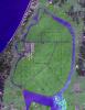
2021-01-25 | Earth |
OMG |
3792x2846x3 | |
|
|||||
|
|
2021-01-22 | Earth |
Terra |
ASTER |
756x611x3 |
|
|||||
|
|
2021-01-04 | Earth |
Terra |
ASTER |
1580x1209x3 |

|
|||||
|
|
2020-12-16 | Earth |
Terra |
ASTER |
803x905x3 |

|
|||||
|
|
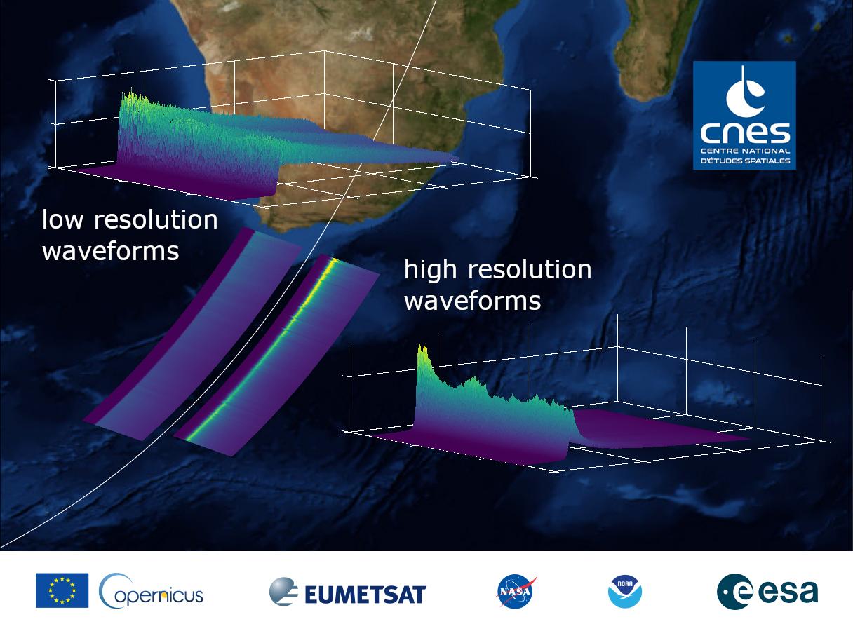
2020-12-10 | Earth |
Sentinel-6/Jason-CS |
1216x900x3 | |
|
|||||
|
|
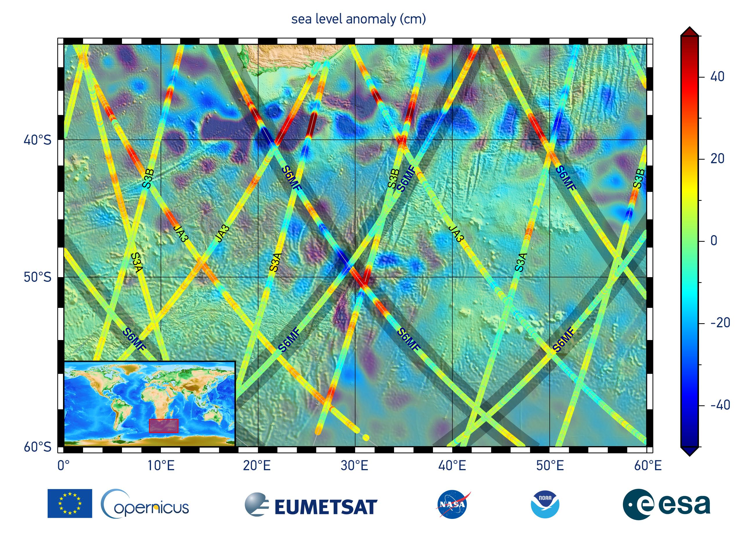
2020-12-10 | Earth |
Sentinel-6/Jason-CS |
2600x1849x3 | |
|
|||||
|
|
2020-12-07 | Earth |
Terra |
ASTER |
3600x2000x3 |
|
|||||
|
|
2020-12-07 | Earth |
Terra |
ASTER |
1159x1936x3 |

|
|||||
|
|
2020-11-10 | Earth |
Terra |
ASTER |
2134x2863x3 |
|
|||||
|
|
2020-10-28 | Earth |
Terra |
ASTER |
1063x712x3 |

|
|||||
|
|
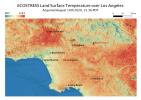
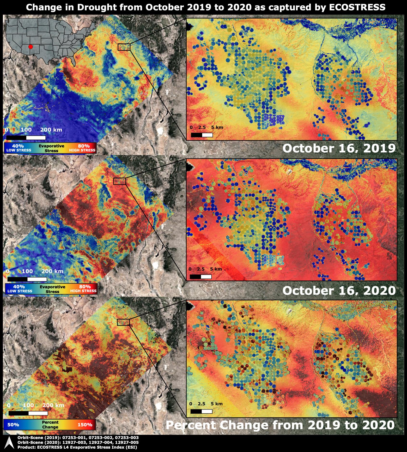
2020-10-28 | Earth |
ECOSTRESS |
1695x1883x3 | |

|
|||||
|
|
2020-10-19 | Earth |
Terra |
ASTER |
1200x400x3 |
|
|||||
|
|
2020-10-02 | Earth |
ECOSTRESS |
1825x1894x3 | |

|
|||||
|
|
2020-09-24 | Earth |
Terra |
ASTER |
2053x3531x3 |
|
|||||
|
|
2020-09-23 | Earth | 8000x5955x3 | ||
|
|||||
|
|
2020-09-15 | Earth |
Terra |
ASTER |
958x561x3 |
|
|||||
|
|
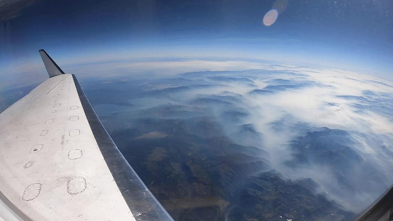
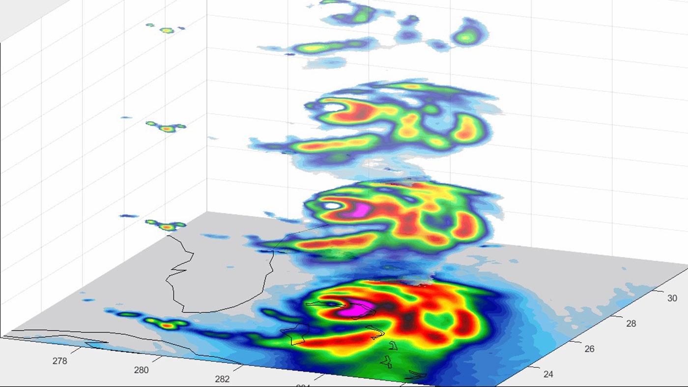
2020-09-15 | Earth |
UAVSAR |
1280x720x3 | |

|
|||||
|
|
2020-09-14 | Earth |
Aqua |
AIRS |
1600x900x3 |
|
|||||
|
|
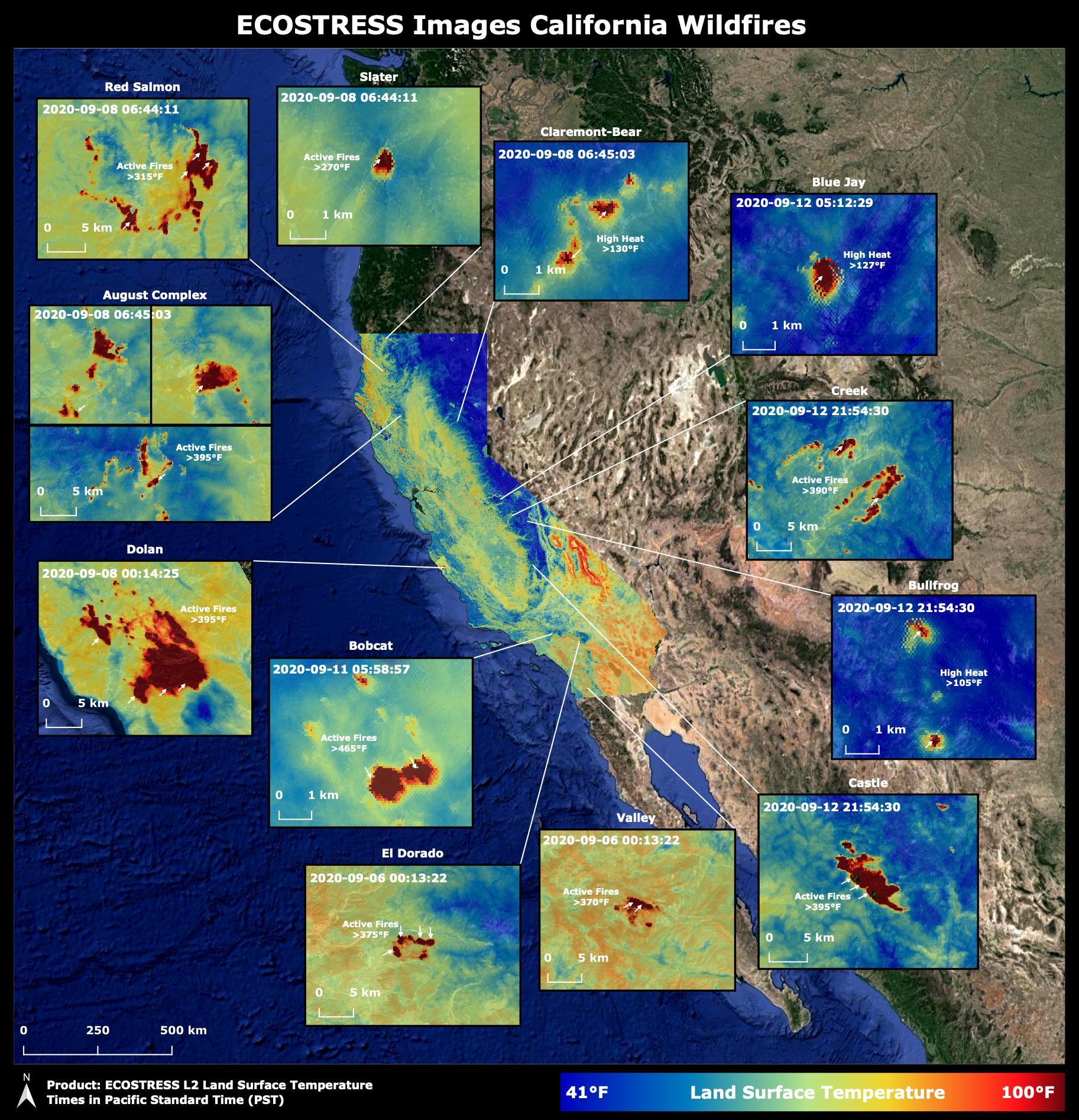
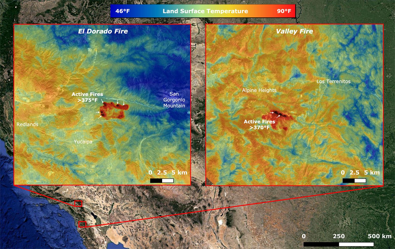
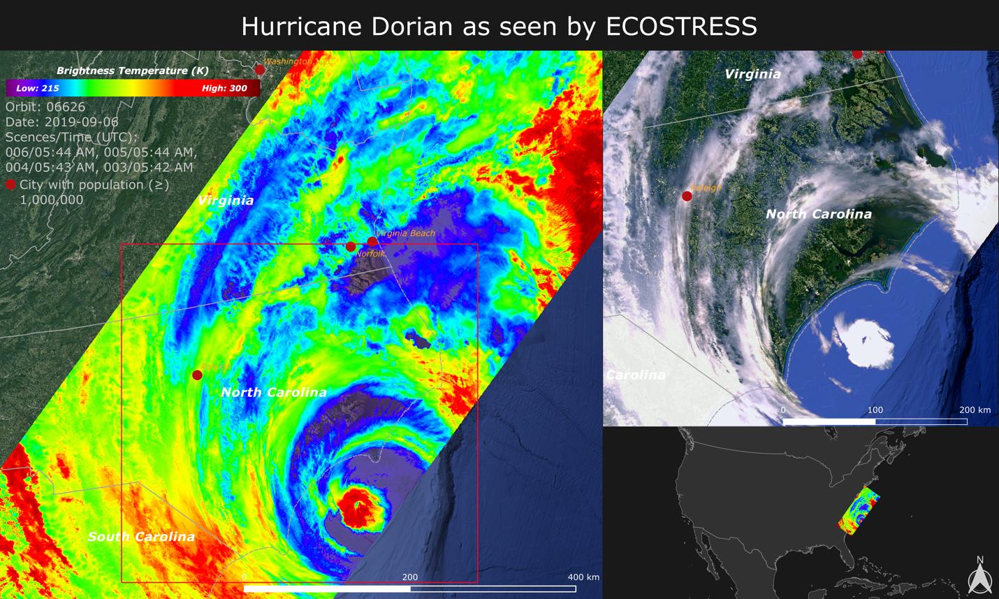
2020-09-08 | Earth |
ECOSTRESS |
1600x1007x3 | |
|
|||||
|
|
2020-09-02 | Earth |
AVIRIS-NG |
3999x2249x3 | |
|
|||||
|
|
2020-09-01 | Earth |
Terra |
ASTER |
2500x1725x3 |

|
|||||
|
|
2020-08-27 | Earth |
ECOSTRESS |
3507x2480x3 | |
|
|||||
|
|
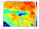
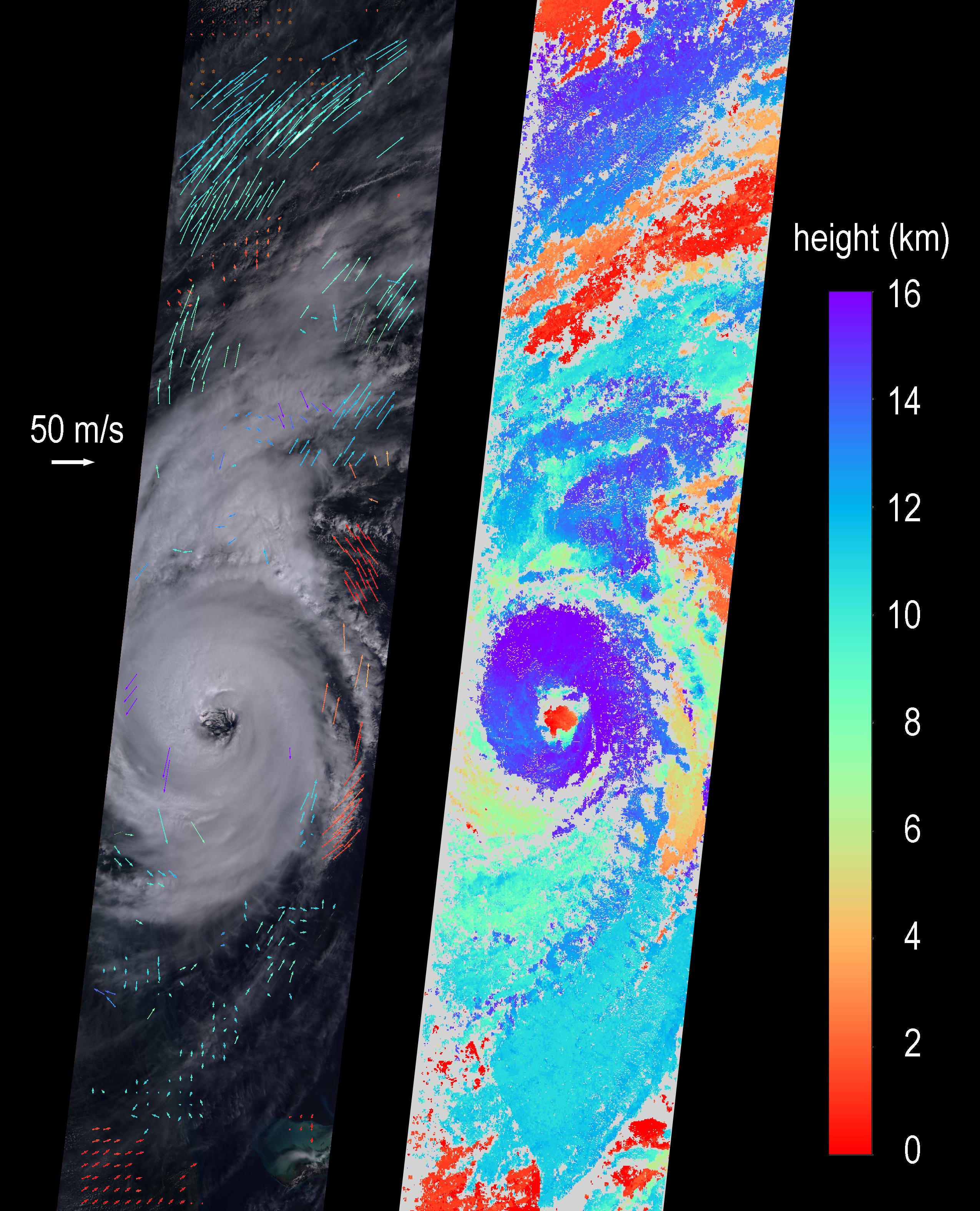
2020-08-19 | Earth |
ECOSTRESS |
3447x2404x3 | |
|
|||||
|
|
2020-08-19 | Earth |
ECOSTRESS |
3507x2480x3 | |
|
|||||
|
|
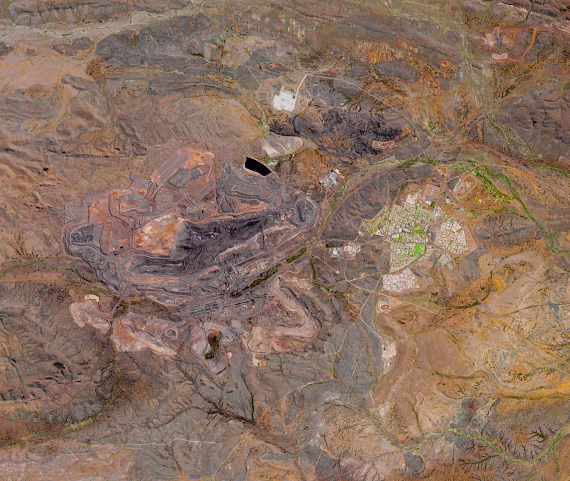
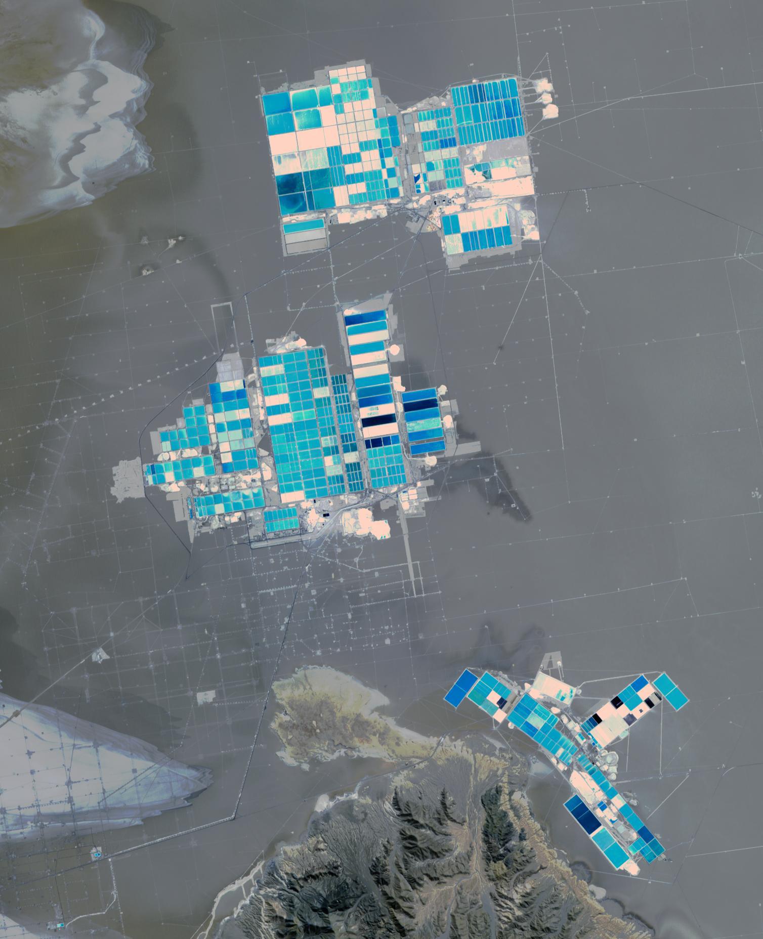
2020-08-17 | Earth |
Terra |
ASTER |
3262x3292x3 |
|
|||||
|
|
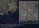
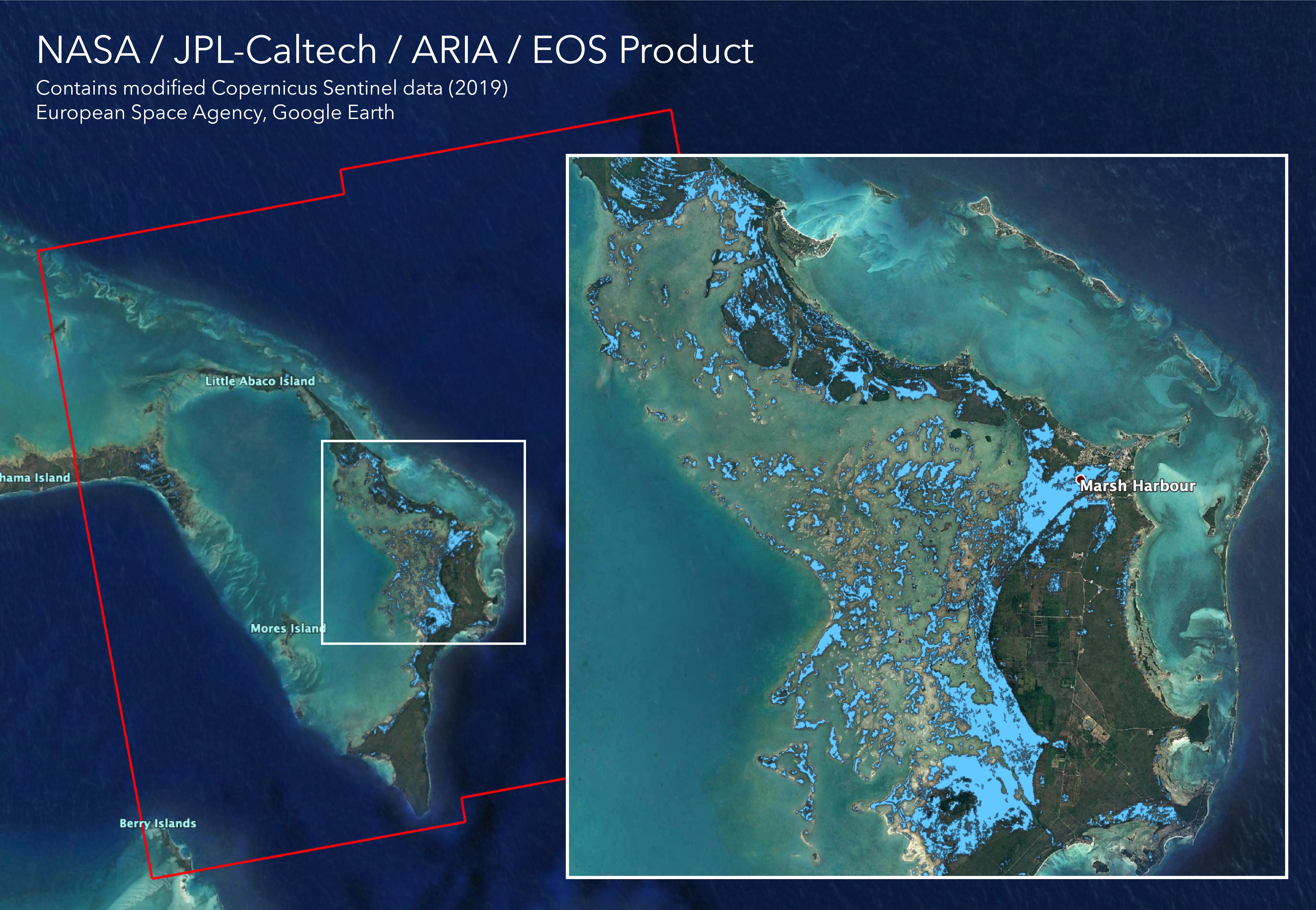
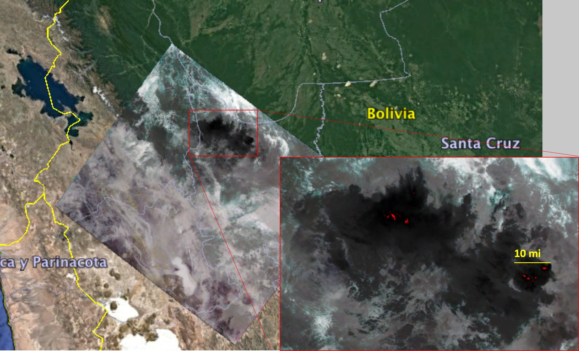
2020-08-07 | Earth |
ARIA |
2944x2480x3 | |
|
|||||
|
|
2020-08-03 | Earth |
ECOSTRESS |
1650x1023x3 | |

|
|||||
|
|
2020-08-03 | Earth |
ECOSTRESS |
2908x2224x3 | |
|
|||||
|
|
2020-07-30 | Earth |
Terra |
ASTER |
1400x1000x3 |

|
|||||
|
|
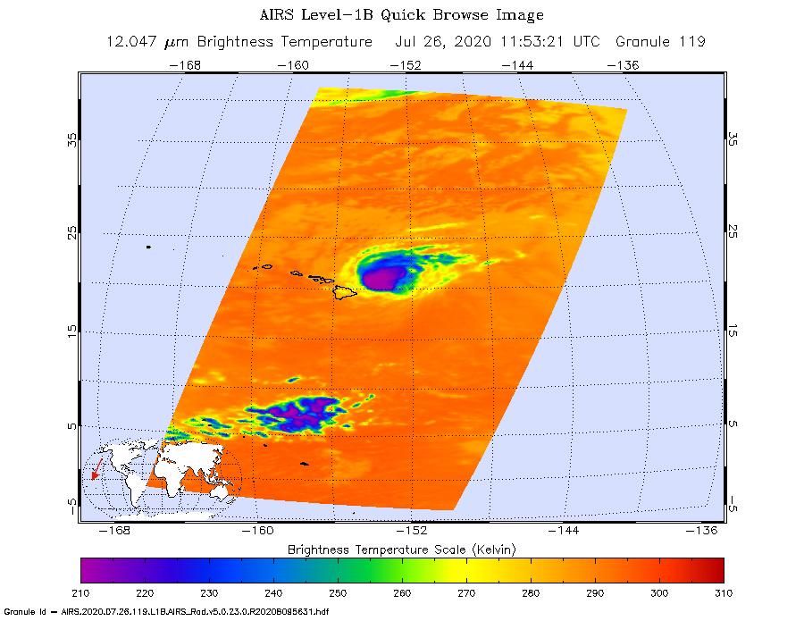
2020-07-27 | Earth |
Aqua |
AIRS |
900x695x3 |
|
|||||
|
|
2020-07-27 | Earth |
Aqua |
AIRS |
900x695x3 |
|
|||||
|
|
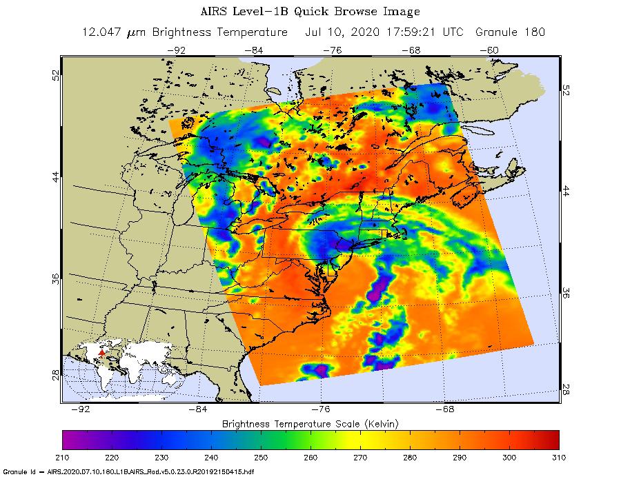
2020-07-16 | Earth |
Terra |
ASTER |
1136x958x3 |
|
|||||
|
|
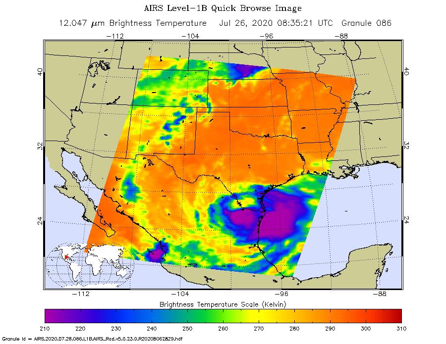
2020-07-10 | Earth |
Aqua |
AIRS |
900x695x3 |
|
|||||
|
|
2020-07-06 | Earth |
Terra |
ASTER |
2880x3240x3 |
|
|||||
|
|
2020-06-30 | Earth |
Terra |
ASTER |
1600x2289x3 |
|
|||||
|
|
2020-06-22 | Earth |
Terra |
ASTER |
1996x1722x3 |
|
|||||
|
|
2020-06-16 | Earth |
Terra |
ASTER |
530x272x3 |
|
|||||
|
|
2020-05-18 | Earth |
Terra |
ASTER |
2000x2000x3 |

|
|||||
|
|
2020-05-06 | Earth |
Terra |
ASTER |
2140x1239x3 |

|
|||||
|
|
2020-05-01 | Earth |
Terra |
ASTER |
3948x4092x3 |
|
|||||
|
|
2020-04-15 | Earth | 1920x1080x3 | ||
|
|||||
|
|
2020-04-10 | Earth |
Terra |
ASTER |
600x600x3 |
|
|||||
|
|
2020-03-30 | Earth |
Terra |
ASTER |
842x811x3 |
|
|||||
|
|
2020-03-10 | Earth |
Terra |
ASTER |
1542x1825x3 |

|
|||||
|
|
2020-03-06 | Earth |
OCO-2 |
OCO-2 |
979x1143x3 |
|
|||||
|
|
2020-03-02 | Earth |
Terra |
ASTER |
1500x1200x3 |
|
|||||
|
|
2020-02-24 | Earth |
Terra |
ASTER |
1980x1560x3 |
|
|||||
|
|
2020-02-13 | Earth |
Terra |
ASTER |
3237x1970x3 |
|
|||||
|
|
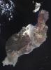
2020-02-12 | Earth |
Voyager |
ISS - Narrow Angle |
5230x5175x3 |

|
|||||
|
|
2020-02-04 | Earth |
ECOSTRESS |
772x440x3 | |

|
|||||
|
|
2020-02-03 | Earth |
Terra |
ASTER |
3318x2151x3 |

|
|||||
|
|
2020-01-29 | Earth |
Terra |
ASTER |
3537x3114x3 |

|
|||||
|
|
2020-01-15 | Earth |
ARIA |
SAR |
2437x1918x3 |
|
|||||
|
|
2020-01-10 | Earth |
ARIA |
1710x1055x3 | |
|
|||||
|
|
2020-01-08 | Earth |
Terra |
ASTER |
1587x990x3 |
|
|||||
|
|
2019-12-16 | Earth |
Mars 2020 Rover |
6417x4437x3 | |
|
|||||
|
|
2019-12-16 | Earth |
Terra |
ASTER |
2616x3751x3 |
|
|||||
|
|
2019-11-26 | Earth |
Terra |
ASTER |
4053x3461x3 |

|
|||||
|
|
2019-11-20 | Moon |
Apollo 12 |
711x1113x3 | |
|
|||||
|
|
2019-11-15 | Earth |
Mars 2020 Rover |
4032x3024x3 | |

|
|||||
|
|
2019-11-14 | Earth |
Terra |
ASTER |
2445x2487x3 |
|
|||||
|
|
2019-11-05 | Earth |
Terra |
720x480x3 | |
|
|||||
|
|
2019-11-05 | Earth |
ECOSTRESS |
720x715x3 | |
|
|||||
|
|
2019-11-05 | Earth | 1440x960x3 | ||

|
|||||
|
|
2019-11-04 | Earth |
Terra |
ASTER |
2590x2185x3 |

|
|||||
|
|
2019-10-31 | Earth |
Terra |
ASTER |
1165x1520x3 |
|
|||||
|
|
2019-10-21 | Earth |
Terra |
ASTER |
2847x3903x3 |
|
|||||
|
|
2019-10-15 | Earth |
ARIA |
SAR |
3063x2249x3 |
|
|||||
|
|
2019-10-09 | Earth |
Terra |
ASTER |
2314x2930x3 |
|
|||||
|
|
2019-09-19 | Earth |
Terra |
ASTER |
1280x720x3 |
|
|||||
|
|
2019-09-18 | Earth |
ECOSTRESS |
1430x857x3 | |

|
|||||
|
|
2019-09-10 | Earth |
Terra |
MISR |
2550x3150x3 |
|
|||||
|
|
2019-09-05 | Earth |
Aqua |
AIRS |
3994x3194x3 |
|
|||||
|
|
2019-09-05 | Earth |
Terra |
ASTER |
1508x1856x3 |
|
|||||
|
|
2019-09-04 | Earth |
CubeSat |
1400x788x3 | |
|
|||||
|
|
2019-09-03 | Earth |
ARIA |
SAR |
6900x4772x3 |
|
|||||
|
|
2019-08-29 | Earth |
CubeSat |
1400x778x3 | |
|
|||||
|
|
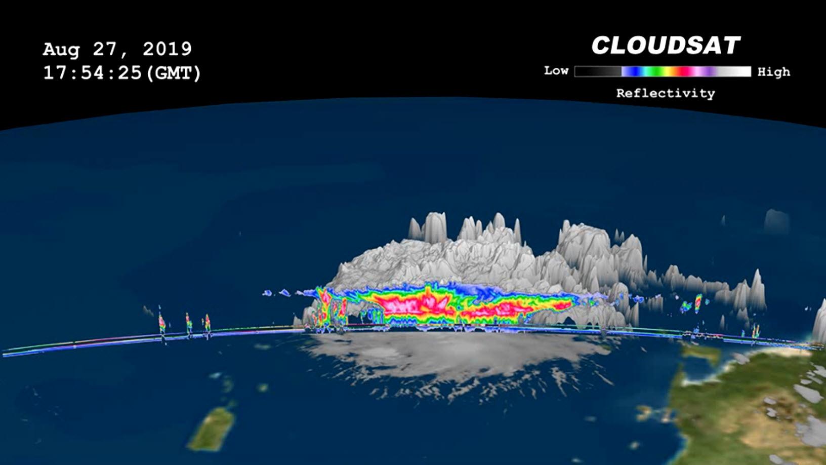
2019-08-29 | Earth |
CloudSat |
Cloud Profiling Radar (CPR) |
1632x918x3 |

|
|||||
|
|
2019-08-29 | Earth |
Aqua |
AIRS |
900x695x3 |
|
|||||
|
|
2019-08-28 | Earth |
ECOSTRESS |
1867x1132x3 | |
|
|||||
|
|
2019-08-23 | Earth |
Aqua |
AIRS |
1400x787x3 |
|
|||||
|
|
2019-08-20 | Earth |
Terra |
ASTER |
3400x2800x3 |
|
|||||

|
 |
|
 |
 |
|
|
|
|
|
|

|
| 1-100 | 101-200 | 201-300 | 301-400 | 401-500 | 501-600 | 601-700 | 701-800 | 801-900 | 901-1000 |
| Currently displaying images: 201 - 300 of 2622 |