|
Your search criteria found 561 images Feature Name |
| My List |
Addition Date | Target | Mission | Instrument |
Size
|

|
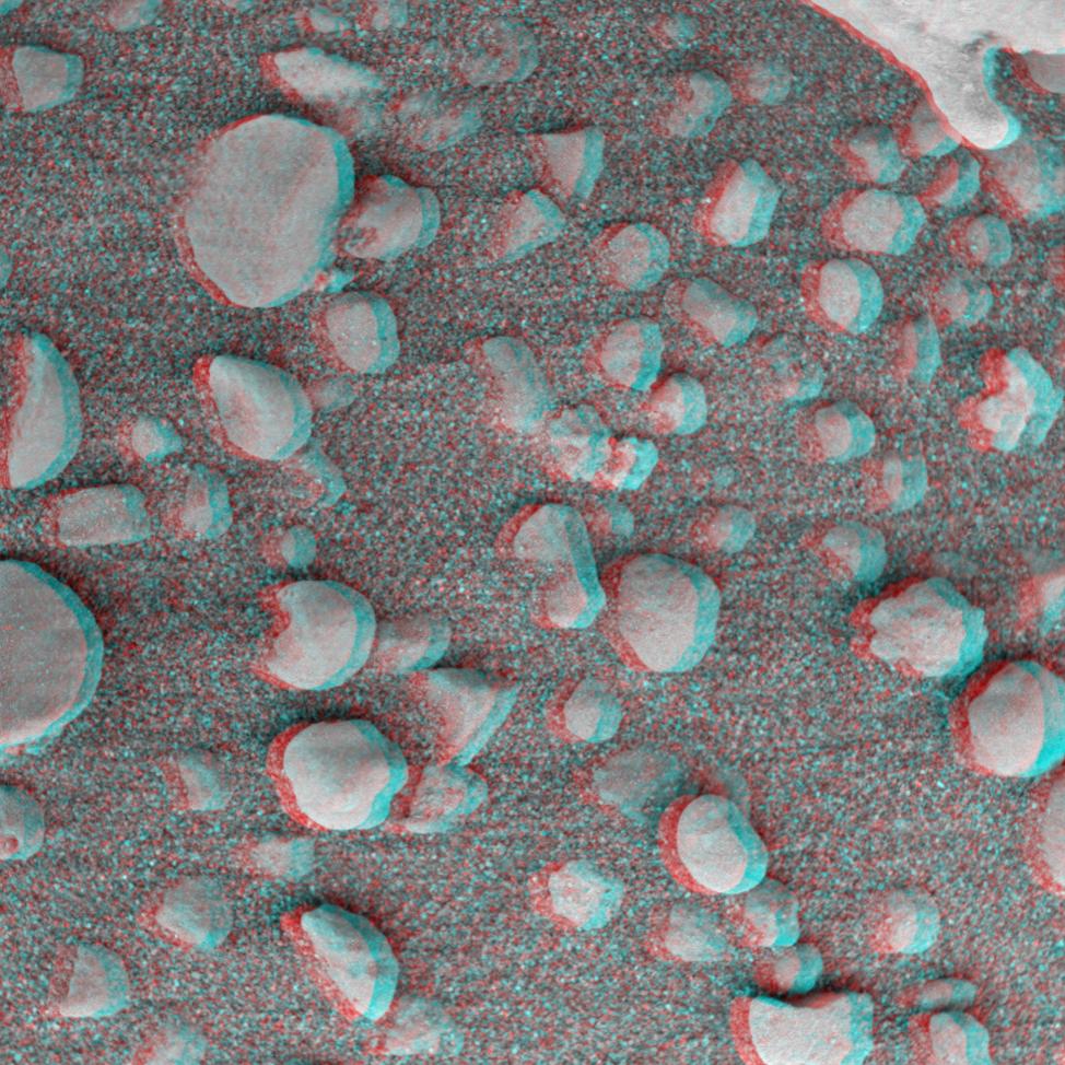
2004-02-13 | Mars |
Mars Exploration Rover (MER) |
Microscopic Imager |
974x974x3 |
|
|||||
|
|
2004-02-13 | Mars |
Mars Exploration Rover (MER) |
Microscopic Imager |
974x974x3 |
|
|||||
|
|
2004-02-13 | Mars |
Mars Exploration Rover (MER) |
Microscopic Imager |
974x974x3 |
|
|||||
|
|
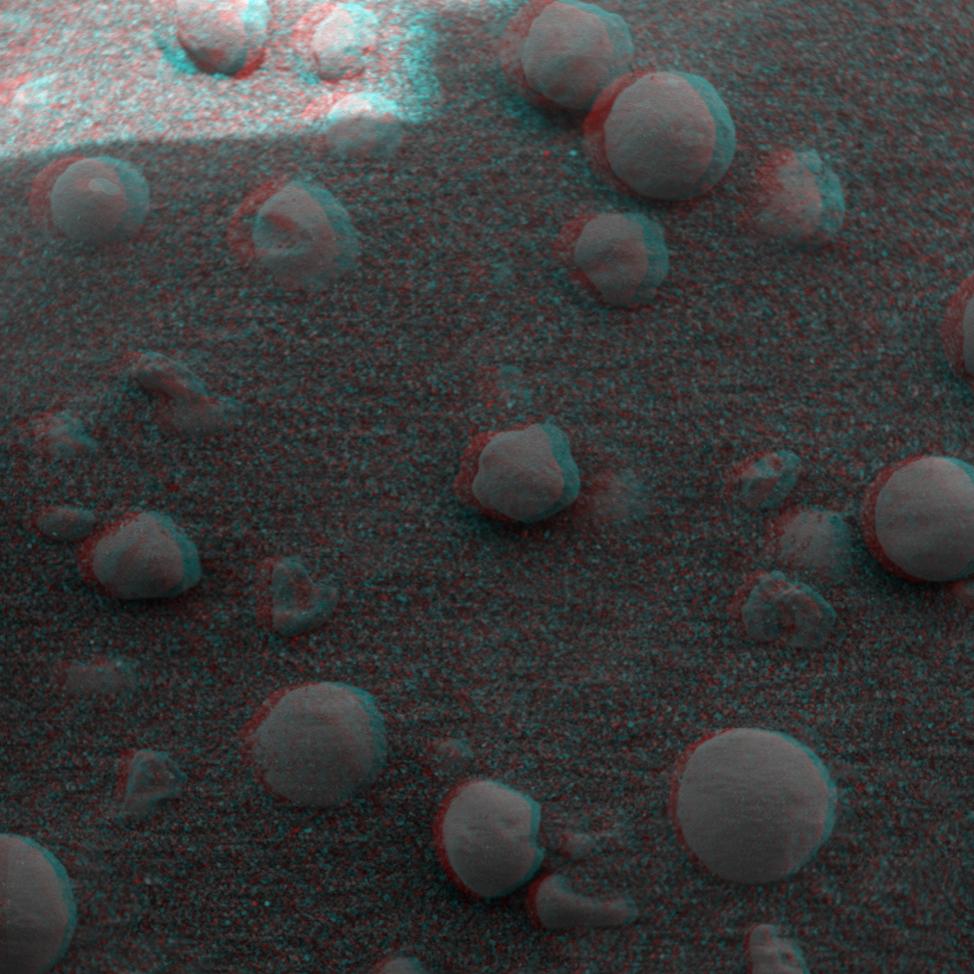
2004-02-13 | Mars |
Mars Exploration Rover (MER) |
Microscopic Imager Rock Abrasion Tool (RAT) |
974x974x3 |
|
|||||
|
|
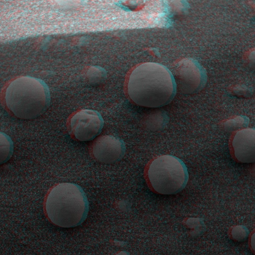
2004-02-13 | Mars |
Mars Exploration Rover (MER) |
Microscopic Imager Rock Abrasion Tool (RAT) |
974x974x3 |
|
|||||
|
|
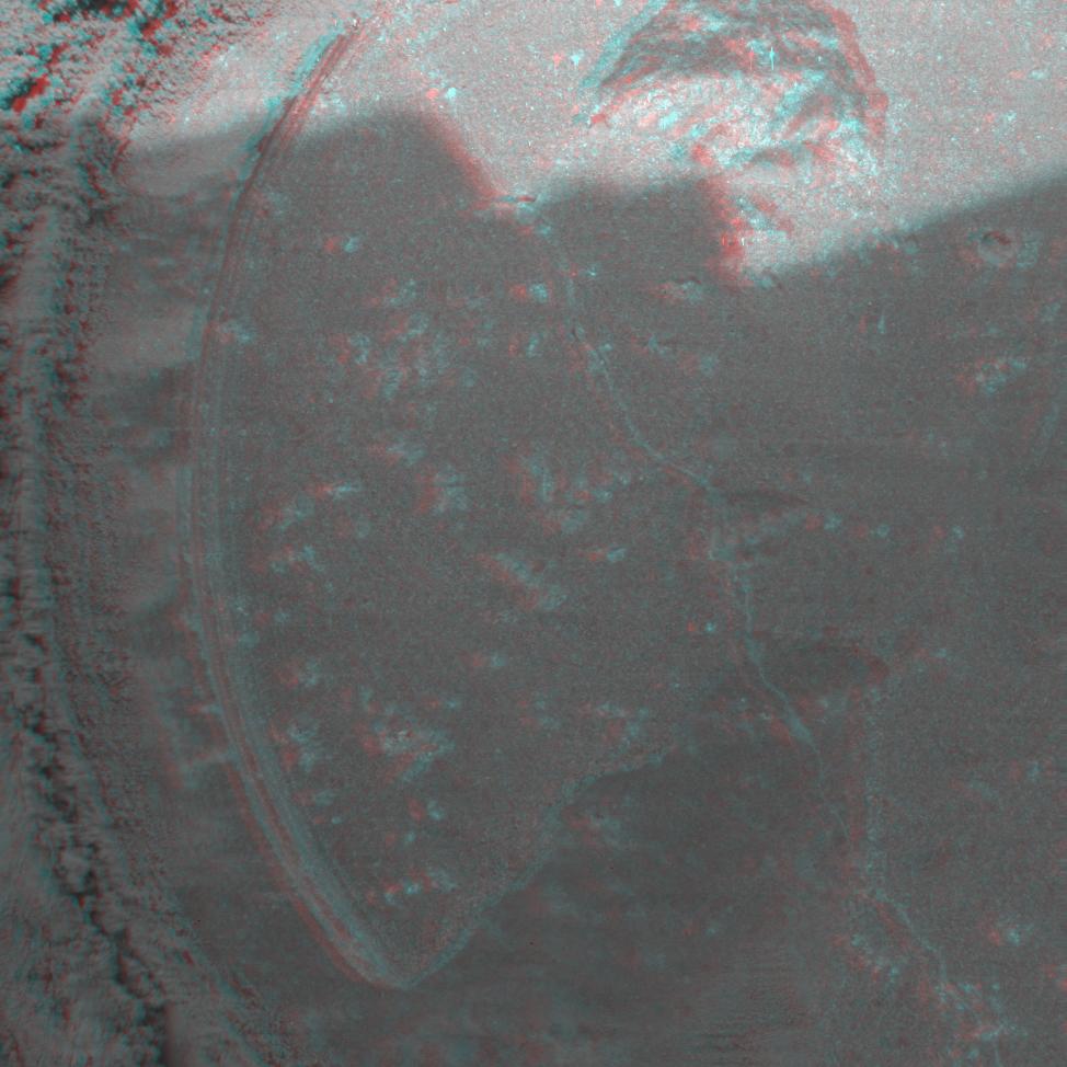
2004-02-12 | Mars |
Mars Exploration Rover (MER) |
Moessbauer Spectrometer |
974x974x3 |

|
|||||
|
|
2004-02-12 | Mars |
Mars Exploration Rover (MER) |
Moessbauer Spectrometer |
974x974x3 |
|
|||||
|
|
2004-02-10 | Mars |
Mars Exploration Rover (MER) |
Navigation Camera |
968x1008x3 |
|
|||||
|
|
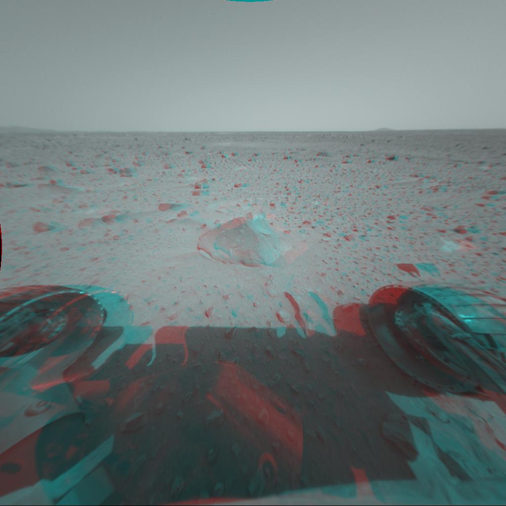
2004-02-06 | Mars |
Mars Exploration Rover (MER) |
Hazcam |
1024x865x3 |
|
|||||
|
|
2004-02-02 | Mars |
Mars Exploration Rover (MER) |
Hazcam |
954x1024x3 |
|
|||||
|
|
2004-01-31 | Mars |
Mars Exploration Rover (MER) |
Hazcam |
1024x1024x3 |

|
|||||
|
|
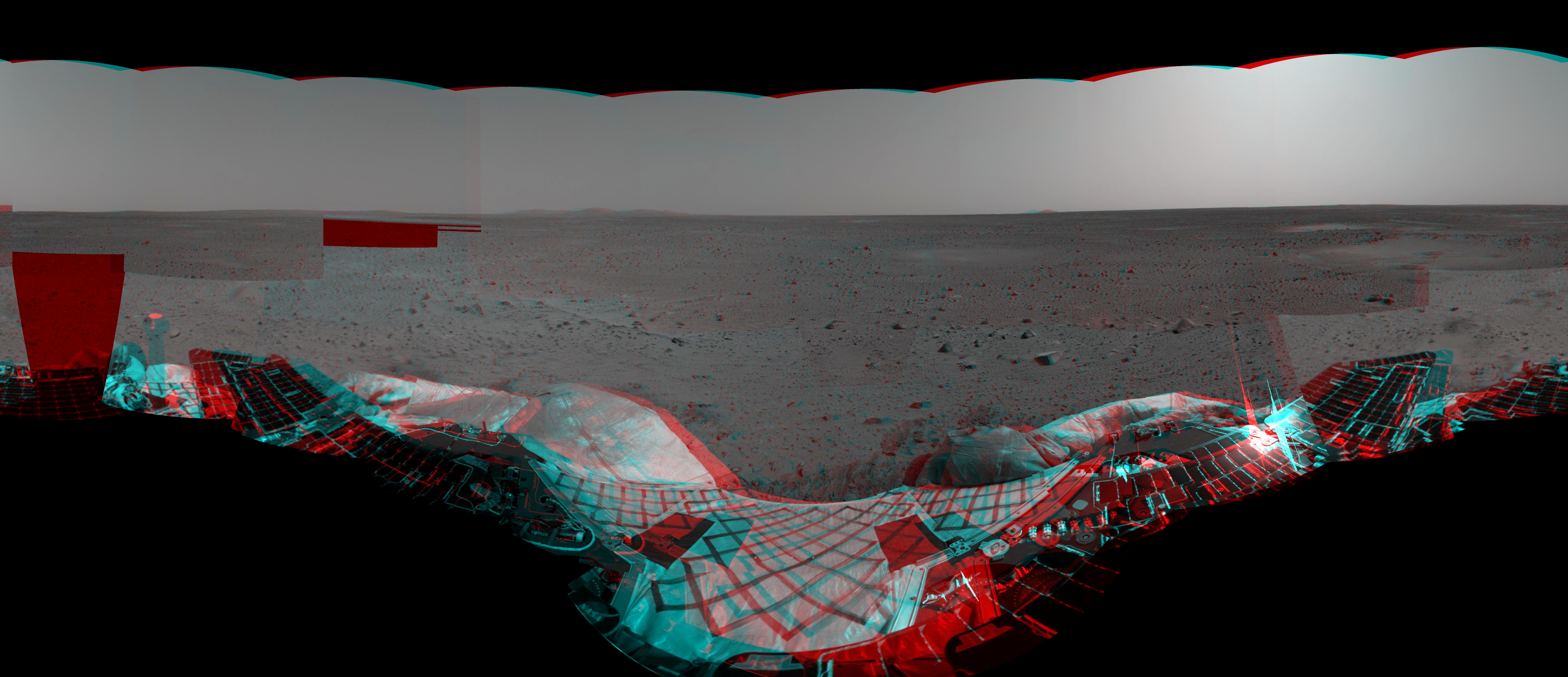
2004-01-27 | Mars |
Mars Exploration Rover (MER) |
Panoramic Camera |
7450x1122x1 |
|
|||||
|
|
2004-01-23 | Mars |
Mars Exploration Rover (MER) |
Panoramic Camera |
995x761x3 |
|
|||||
|
|
2004-01-19 | Mars |
Mars Exploration Rover (MER) |
Hazcam |
1024x1024x3 |
|
|||||
|
|
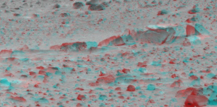
2004-01-16 | Mars |
Mars Exploration Rover (MER) |
Microscopic Imager |
970x843x3 |

|
|||||
|
|
2004-01-10 | Mars |
Mars Exploration Rover (MER) |
Navigation Camera |
7695x3320x3 |
|
|||||
|
|
2004-01-07 | Mars |
Mars Exploration Rover (MER) |
Panoramic Camera |
3322x2934x3 |
|
|||||
|
|
2004-01-07 | Mars |
Mars Exploration Rover (MER) |
Panoramic Camera |
863x428x3 |
|
|||||
|
|
2004-01-05 | Mars |
Mars Exploration Rover (MER) |
Navigation Camera |
1892x384x3 |
|
|||||
|
|
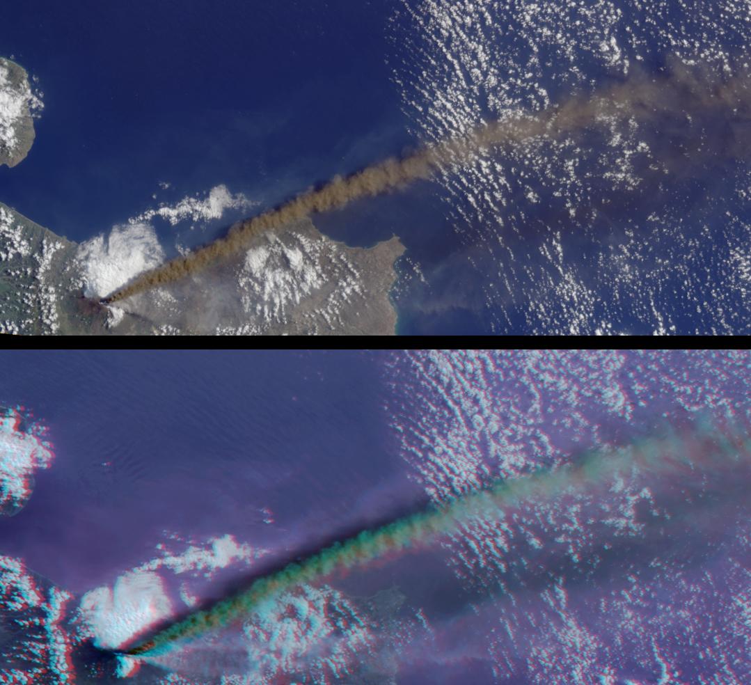
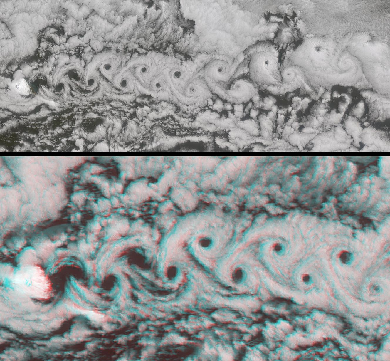
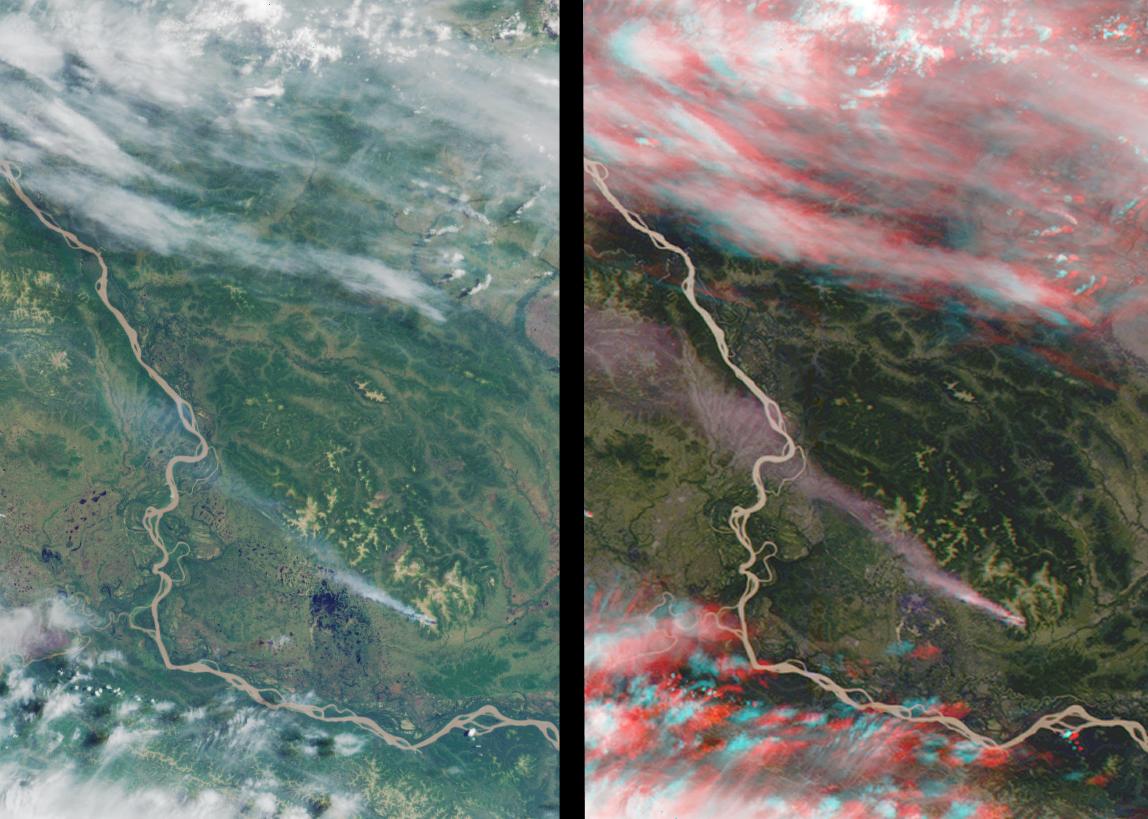
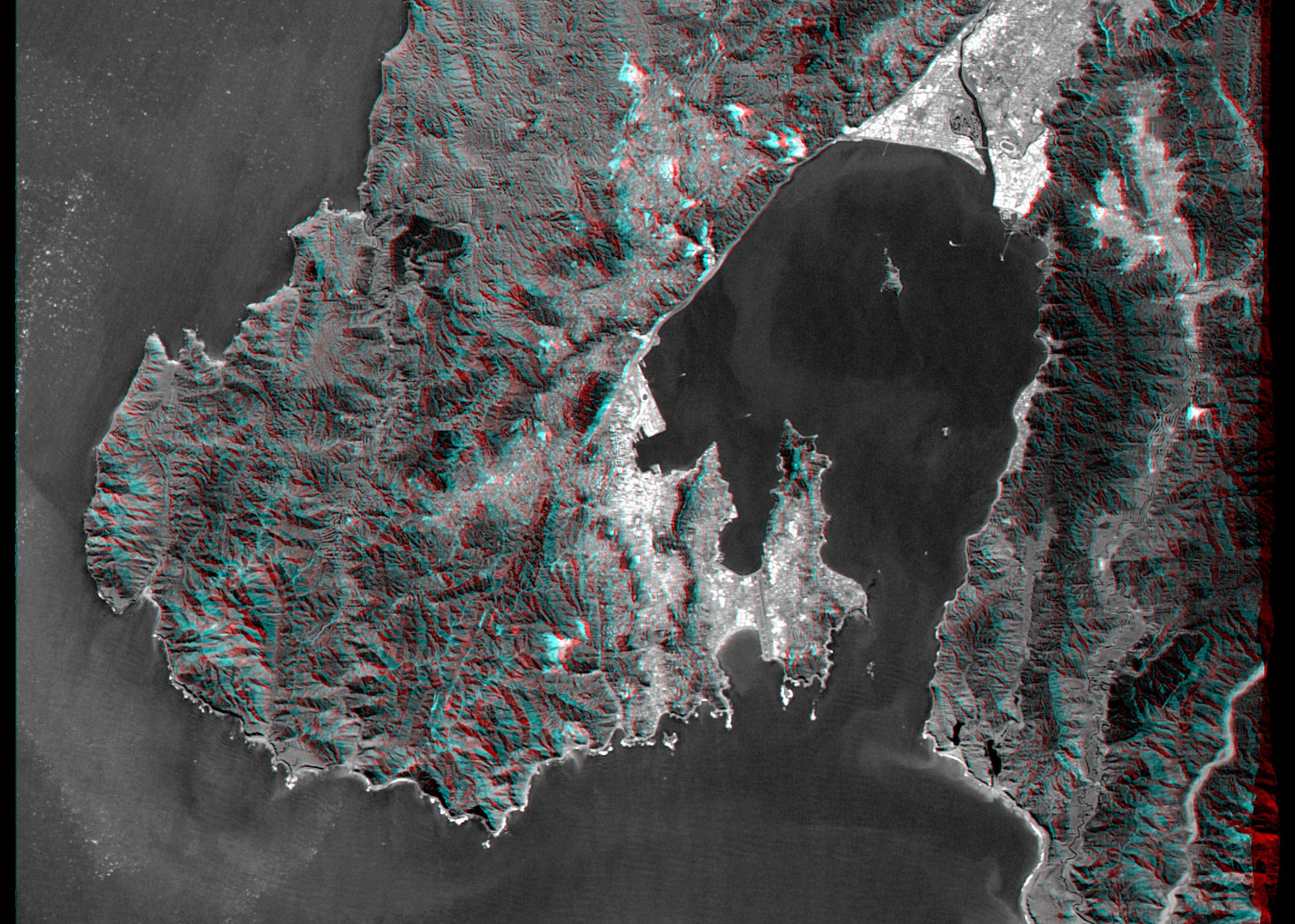
2003-12-10 | Earth |
Terra |
MISR |
1062x860x3 |
|
|||||
|
|
2003-10-28 | Mars |
2001 Mars Odyssey |
4000x4000x3 | |

|
|||||
|
|
2003-10-28 | Mars |
2001 Mars Odyssey |
6000x5000x3 | |
|
|||||
|
|
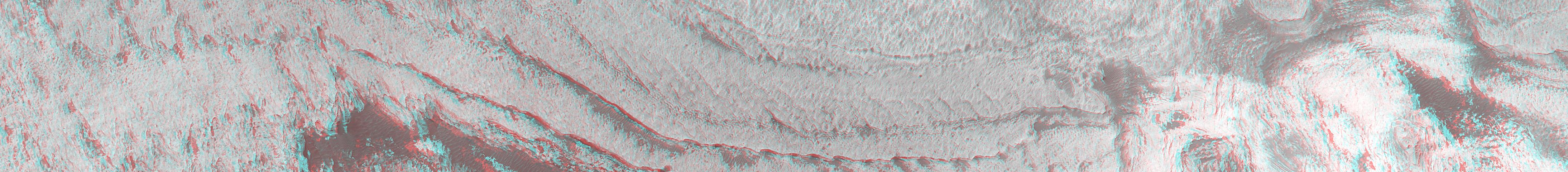
2003-10-22 | Mars |
Mars Express (MEX) |
6200x5500x3 | |
|
|||||
|
|
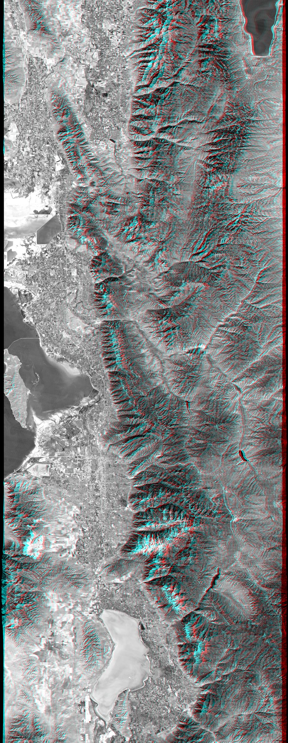
2003-07-03 | Earth |
Landsat Shuttle Radar Topography Mission (SRTM) |
C-Band Interferometric Radar |
2805x1705x3 |
|
|||||
|
|
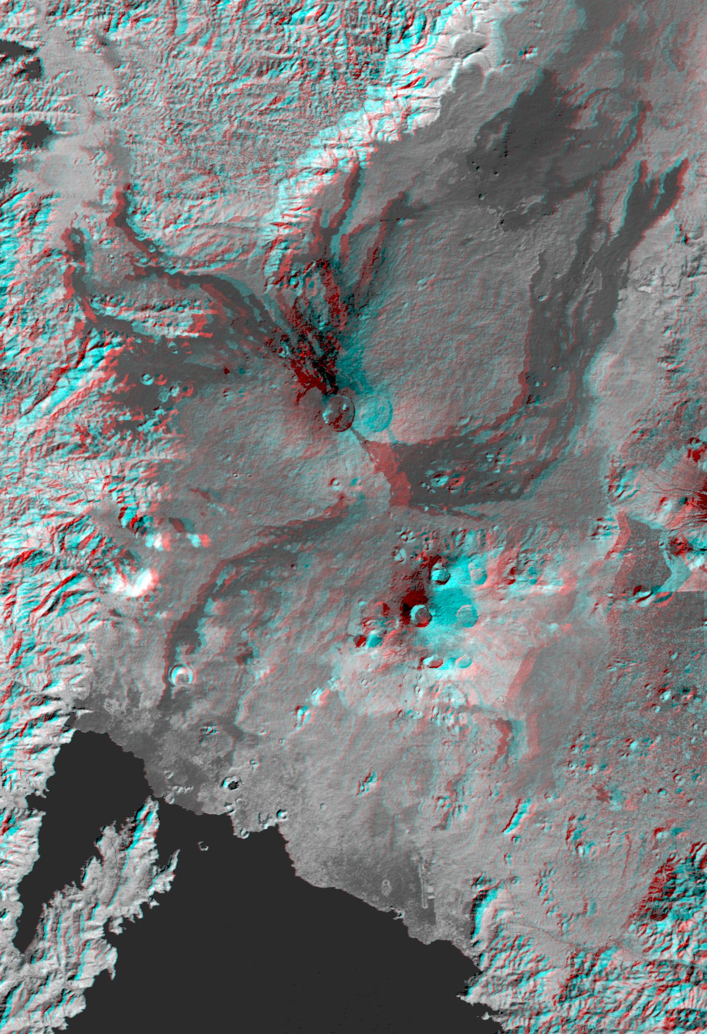
2003-06-19 | Earth |
Shuttle Radar Topography Mission (SRTM) |
C-Band Interferometric Radar |
7200x10886x3 |

|
|||||
|
|
2003-05-01 | Earth |
Landsat Shuttle Radar Topography Mission (SRTM) |
C-Band Interferometric Radar Thematic Mapper |
3262x3162x3 |
|
|||||
|
|
2003-04-25 | Mars |
Mars Global Surveyor (MGS) |
Mars Orbiter Camera (MOC) |
540x810x3 |

|
|||||
|
|
2003-04-09 | Earth |
Terra |
MISR |
1362x1824x3 |
|
|||||
|
|
2003-03-27 | Earth |
Shuttle Radar Topography Mission (SRTM) |
C-Band Interferometric Radar |
1573x2401x3 |
|
|||||
|
|
2003-03-26 | Earth |
Terra |
MISR |
1344x2219x3 |

|
|||||
|
|
2003-03-13 | Earth |
Shuttle Radar Topography Mission (SRTM) |
C-Band Interferometric Radar |
1587x1536x3 |
|
|||||
|
|
2003-03-06 | Earth |
Shuttle Radar Topography Mission (SRTM) |
C-Band Interferometric Radar |
1600x1080x3 |
|
|||||
|
|
2003-03-06 | Earth |
Shuttle Radar Topography Mission (SRTM) |
C-Band Interferometric Radar |
9600x7240x3 |

|
|||||
|
|
2003-01-02 | Earth |
Terra |
MISR |
1522x1789x3 |
|
|||||
|
|
2002-11-13 | Earth |
Terra |
MISR |
1079x984x3 |

|
|||||
|
|
2002-10-09 | Earth |
Terra |
MISR |
3584x3252x3 |

|
|||||
|
|
2002-09-26 | Earth |
Shuttle Radar Topography Mission (SRTM) |
C-Band Interferometric Radar |
1200x1200x3 |
|
|||||
|
|
2002-09-19 | Earth |
Landsat Shuttle Radar Topography Mission (SRTM) |
C-Band Interferometric Radar Thematic Mapper |
1009x1600x3 |
|
|||||
|
|
2002-09-12 | Earth |
Landsat Shuttle Radar Topography Mission (SRTM) |
C-Band Interferometric Radar Thematic Mapper |
339x620x3 |
|
|||||
|
|
2002-08-07 | Mars |
Mars Global Surveyor (MGS) |
Mars Orbiter Camera (MOC) |
1490x422x3 |
|
|||||
|
|
2002-08-07 | Mars |
Mars Global Surveyor (MGS) |
Mars Orbiter Camera (MOC) |
1825x1876x1 |
|
|||||
|
|
2002-06-12 | Earth |
Terra |
MISR |
1660x933x3 |
|
|||||
|
|
2002-05-22 | Earth |
Terra |
MISR |
1063x1565x3 |

|
|||||
|
|
2002-03-13 | Earth |
Terra |
MISR |
1328x1229x3 |
|
|||||
|
|
2002-02-28 | Earth |
Landsat Shuttle Radar Topography Mission (SRTM) |
C-Band Interferometric Radar Thematic Mapper |
1958x799x3 |
|
|||||
|
|
2002-02-16 | Mars |
Mars Global Surveyor (MGS) |
Mars Orbiter Camera (MOC) |
4377x480x3 |
|
|||||
|
|
2002-02-06 | Earth |
Landsat Shuttle Radar Topography Mission (SRTM) |
C-Band Interferometric Radar Thematic Mapper |
925x2385x3 |
|
|
|||||
|
|
2002-02-01 | Earth |
Landsat Shuttle Radar Topography Mission (SRTM) |
C-Band Interferometric Radar Thematic Mapper |
1384x2022x3 |
|
|||||
|
|
2002-01-16 | Earth |
Terra |
MISR |
1728x1974x3 |
|
|||||
|
|
2001-11-28 | Earth |
Terra |
MISR |
1698x2372x3 |
|
|||||
|
|
2001-10-22 | Earth |
Terra |
ASTER |
1200x1354x3 |
|
|||||
|
|
2001-10-10 | Earth |
Terra |
MISR |
730x900x3 |
|
|||||
|
|
2001-09-19 | Earth |
Terra |
MISR |
1737x981x3 |
|
|||||
|
|
2001-09-01 | Earth |
Shuttle Radar Topography Mission (SRTM) |
C-Band Interferometric Radar |
1910x1215x3 |
|
|||||
|
|
2001-08-24 | Earth |
Shuttle Radar Topography Mission (SRTM) |
C-Band Interferometric Radar |
1630x1200x3 |
|
|||||
|
|
2001-08-16 | Earth |
Shuttle Radar Topography Mission (SRTM) |
C-Band Interferometric Radar |
1090x1480x3 |
|
|||||
|
|
2001-08-03 | Earth |
Shuttle Radar Topography Mission (SRTM) |
C-Band Interferometric Radar |
2501x1201x3 |
|
|||||
|
|
2001-08-01 | Earth |
Terra |
MISR |
1736x1328x3 |
|
|||||
|
|
2001-07-26 | Earth |
Shuttle Radar Topography Mission (SRTM) |
C-Band Interferometric Radar |
2020x1350x3 |
|
|||||
|
|
2001-07-25 | Earth |
Terra |
MISR |
1594x1444x3 |
|
|||||
|
|
2001-07-05 | Earth |
Shuttle Radar Topography Mission (SRTM) |
C-Band Interferometric Radar |
1600x1763x3 |
|
|||||
|
|
2001-06-20 | Earth |
Terra |
MISR |
1356x1932x3 |
|
|||||
|
|
2001-06-14 | Earth |
Shuttle Radar Topography Mission (SRTM) |
C-Band Interferometric Radar |
1935x1240x3 |
|
|||||
|
|
2001-05-31 | Earth |
Landsat Shuttle Radar Topography Mission (SRTM) |
C-Band Interferometric Radar Thematic Mapper |
398x710x3 |
|
|||||
|
|
2001-05-24 | Mars |
Mars Global Surveyor (MGS) |
Mars Orbiter Camera (MOC) |
907x2547x3 |
|
|
|||||
|
|
2001-05-24 | Earth |
Landsat Shuttle Radar Topography Mission (SRTM) |
C-Band Interferometric Radar Thematic Mapper |
941x1304x3 |
|
|||||
|
|
2001-05-23 | Earth |
Terra |
MISR |
1300x1550x3 |
|
|||||
|
|
2001-05-16 | Earth |
Terra |
MISR |
1536x1579x3 |
|
|||||
|
|
2001-05-02 | Earth |
Landsat Shuttle Radar Topography Mission (SRTM) |
C-Band Interferometric Radar Thematic Mapper |
477x745x3 |
|
|||||
|
|
2001-04-05 | Earth |
Landsat Shuttle Radar Topography Mission (SRTM) |
C-Band Interferometric Radar Thematic Mapper |
451x691x3 |
|
|||||
|
|
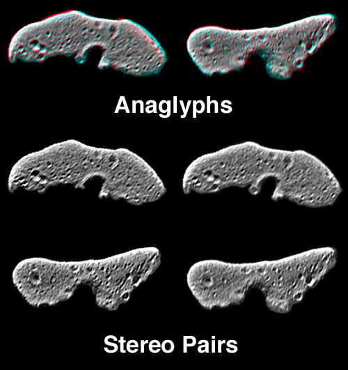
2001-02-17 | Eros |
NEAR Shoemaker |
Multi-Spectral Imager |
1093x1119x3 |
|
|||||
|
|
2000-12-13 | Earth |
Terra |
MISR |
1600x1261x3 |
|
|||||
|
|
2000-11-11 | Mars |
Mars Global Surveyor (MGS) |
Mars Orbiter Camera (MOC) |
1340x510x3 |
|
|||||
|
|
2000-11-02 | Earth |
Shuttle Radar Topography Mission (SRTM) |
C-Band Interferometric Radar |
1703x1181x3 |
|
|||||
|
|
2000-10-20 | Earth |
Landsat Shuttle Radar Topography Mission (SRTM) |
C-Band Interferometric Radar Thematic Mapper |
1212x1518x3 |
|
|||||
|
|
2000-10-18 | Earth |
Terra |
MISR |
1728x1043x3 |
|
|||||
|
|
2000-10-16 | Mars |
Mars Global Surveyor (MGS) |
Mars Orbiter Camera (MOC) |
1010x1010x3 |
|
|||||
|
|
2000-09-27 | Earth |
Terra |
MISR |
1148x819x3 |
|
|||||
|
|
2000-09-21 | Earth |
Landsat Shuttle Radar Topography Mission (SRTM) |
C-Band Interferometric Radar Thematic Mapper |
1786x2356x3 |
|
|||||
|
|
2000-08-31 | Earth |
Landsat Shuttle Radar Topography Mission (SRTM) |
C-Band Interferometric Radar Thematic Mapper |
499x801x3 |

|
|||||
|
|
2000-08-02 | Earth |
Terra |
MISR |
959x861x3 |
|
|||||
|
|
2000-07-27 | Earth |
Landsat Shuttle Radar Topography Mission (SRTM) |
C-Band Interferometric Radar Thematic Mapper |
999x1335x3 |
|
|||||
|
|
2000-07-20 | Earth |
Landsat Shuttle Radar Topography Mission (SRTM) |
C-Band Interferometric Radar Thematic Mapper |
718x907x3 |
|
|||||
|
|
2000-07-13 | Earth |
Landsat Shuttle Radar Topography Mission (SRTM) |
C-Band Interferometric Radar Thematic Mapper |
1631x956x3 |
|
|||||
|
|
2000-07-08 | Earth |
Terra |
MISR |
584x900x3 |
|
|||||
|
|
2000-06-29 | Earth |
Landsat Shuttle Radar Topography Mission (SRTM) |
C-Band Interferometric Radar Thematic Mapper |
506x798x3 |
|
|||||
|
|
2000-06-22 | Mars |
Mars Global Surveyor (MGS) |
Mars Orbiter Camera (MOC) |
1613x1210x1 |
|
|||||
|
|
2000-06-22 | Earth |
Landsat Shuttle Radar Topography Mission (SRTM) |
C-Band Interferometric Radar Thematic Mapper |
2920x4236x3 |
|
|||||
|
|
2000-06-20 | Earth |
Terra |
MISR |
2548x3800x3 |
|
|||||
|
|
2000-06-01 | Earth |
Shuttle Radar Topography Mission (SRTM) |
C-Band Interferometric Radar |
669x1427x3 |
|
|
|||||
|
|
2000-05-11 | Earth |
Landsat Shuttle Radar Topography Mission (SRTM) |
C-Band Interferometric Radar Thematic Mapper |
2158x1540x3 |
|
|||||
|
|
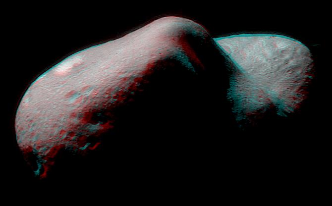
2000-05-07 | Eros |
NEAR Shoemaker |
Multi-Spectral Imager |
500x531x3 |
|
|||||
|
|
2000-05-07 | Eros |
NEAR Shoemaker |
Multi-Spectral Imager |
670x416x3 |

|
|||||
|
|
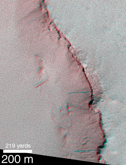
2000-04-24 | Mars |
Mars Global Surveyor (MGS) |
Mars Orbiter Camera (MOC) |
437x572x3 |
|
|||||
|
|
2000-04-24 | Mars |
Mars Global Surveyor (MGS) |
Mars Orbiter Camera (MOC) |
1105x535x1 |
|
|||||
|
|
2000-04-24 | Mars |
Mars Global Surveyor (MGS) |
Mars Orbiter Camera (MOC) |
662x824x1 |
|
|||||
|
|
2000-04-19 | Earth |
Terra |
MISR |
1906x981x3 |
|
|||||
|
|
2000-04-13 | Earth |
Landsat Shuttle Radar Topography Mission (SRTM) |
C-Band Interferometric Radar Thematic Mapper |
839x651x3 |
|
|||||
|
|
2000-04-07 | Mars |
Mars Global Surveyor (MGS) |
Mars Orbiter Camera (MOC) |
1336x1168x3 |
|
|||||
|
|
2000-03-10 | Earth |
Landsat Shuttle Radar Topography Mission (SRTM) |
C-Band Interferometric Radar Thematic Mapper |
1218x1366x3 |
|
|||||

|
 |
|
|
|
 |
 |

|
| 1-100 | 101-200 | 201-300 | 301-400 | 401-500 | 501-600 |
| Currently displaying images: 401 - 500 of 561 |