My
List |
Addition Date
|
Target
|
Mission
|
Instrument
|
Size
|

|
2003-10-22 |
Mars
|
Mars Express (MEX)
|
|
6200x5500x3 |
|
-
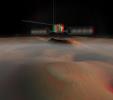
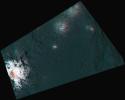
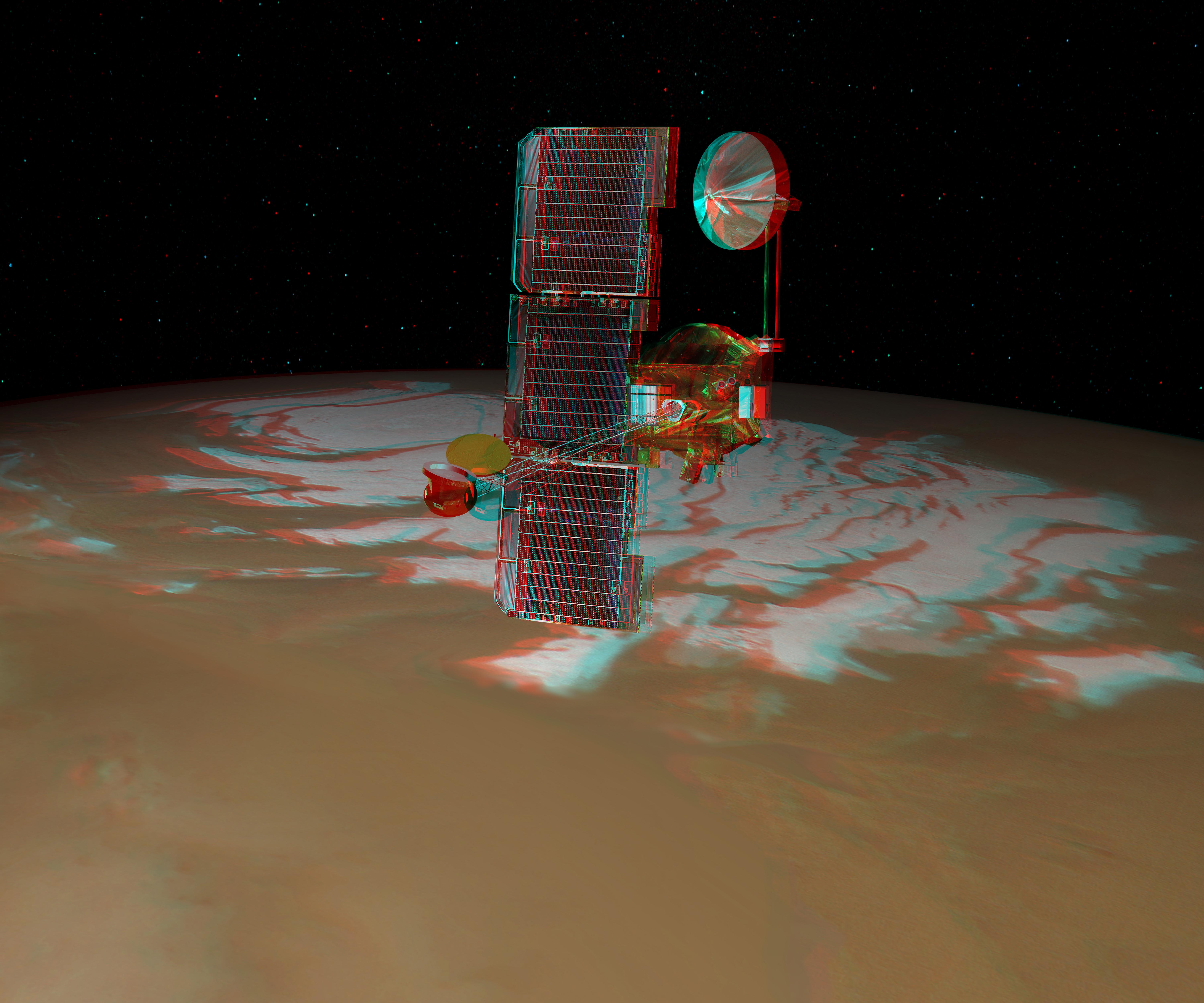
PIA04803:
-
Mars Express, 3-D Artist's Concept
Full Resolution:
TIFF
(56.9 MB)
JPEG
(1.616 MB)
|
|
|
2003-10-28 |
Mars
|
2001 Mars Odyssey
|
|
6000x5000x3 |
|
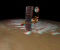
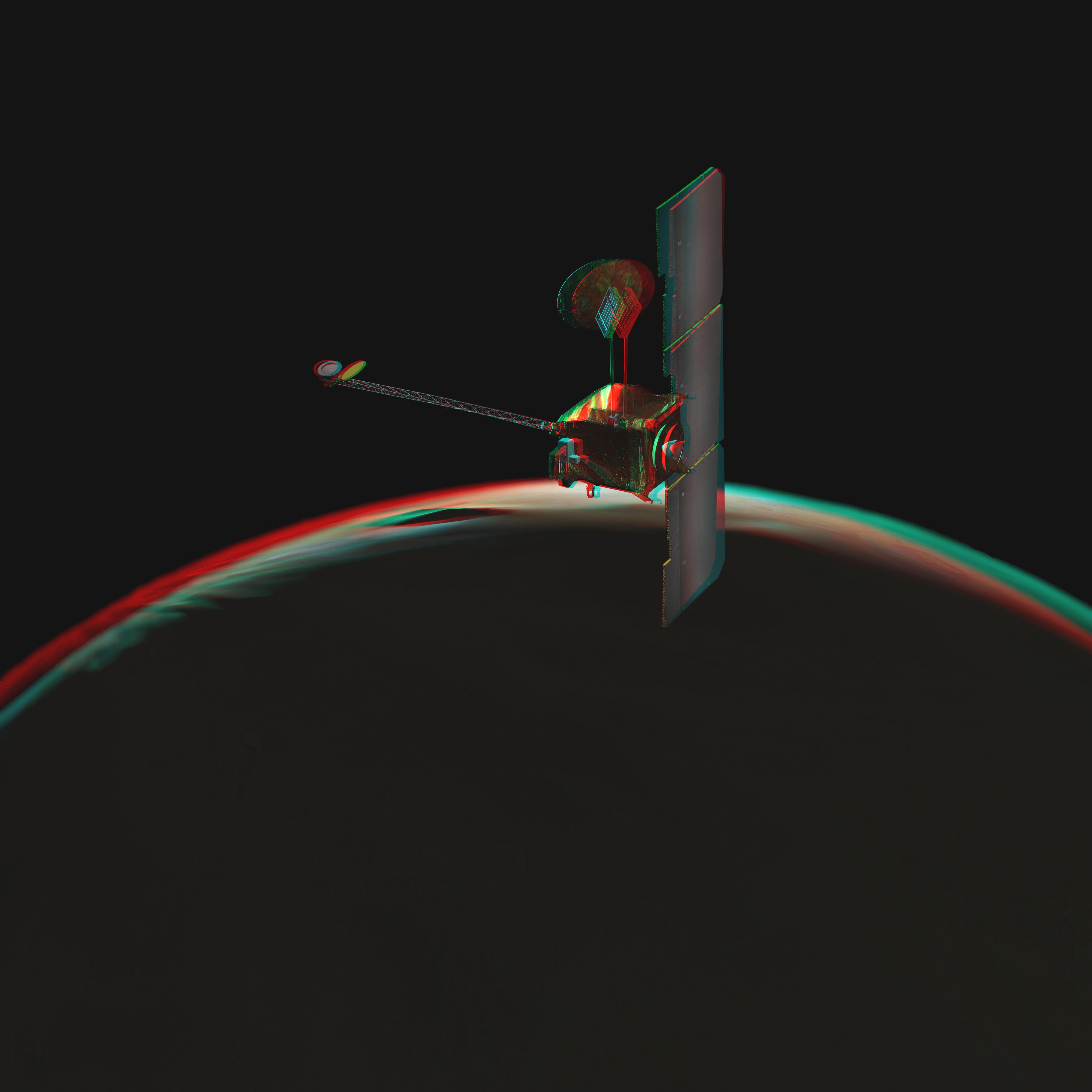
-
PIA04817:
-
Odyssey over Mars' South Pole in 3-D (Artist Concept)
Full Resolution:
TIFF
(45.22 MB)
JPEG
(1.589 MB)
|
|
|
2003-10-28 |
Mars
|
2001 Mars Odyssey
|
|
4000x4000x3 |

|
-
PIA04819:
-
Odyssey over Martian Sunrise, 3-D (Artist Concept)
Full Resolution:
TIFF
(7.902 MB)
JPEG
(398 kB)
|
|
|
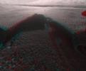
2007-05-10 |
|
Phoenix
|
|
8000x5000x3 |
|
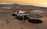
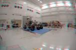
-
PIA09345:
-
Phoenix Lander on Mars (Stereo)
Full Resolution:
TIFF
(120 MB)
JPEG
(3.08 MB)
|
|
|
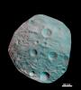
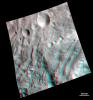
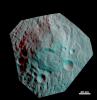
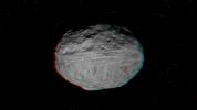
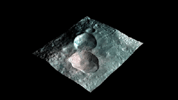
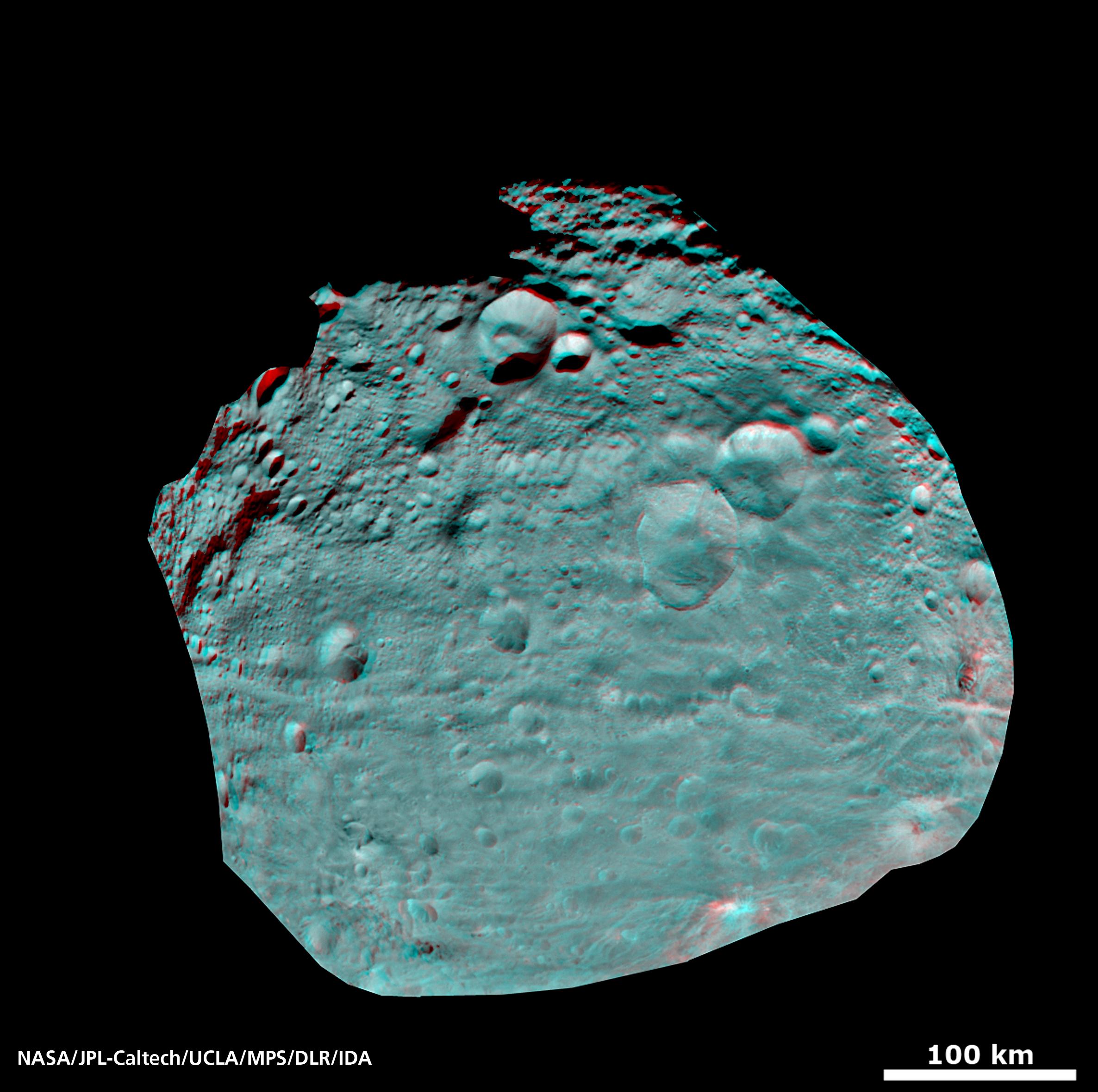
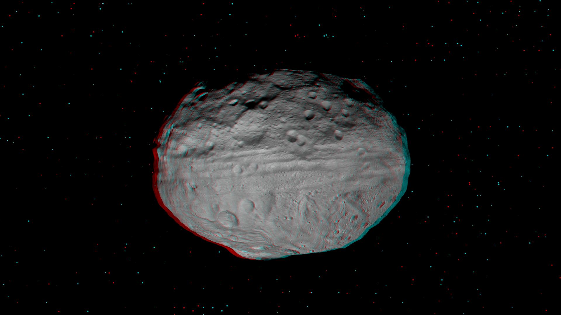
2011-03-10 |
Vesta
|
Dawn
|
|
800x800x3 |
|
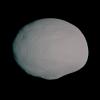
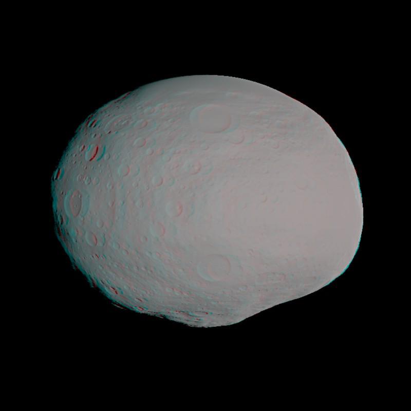
-
PIA13890:
-
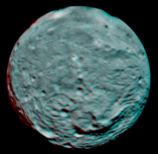
Anaglyph of Vesta Model
Full Resolution:
TIFF
(1.922 MB)
JPEG
(26.14 kB)
|
|
|
2011-07-22 |
|
Mars Science Laboratory (MSL)
|
|
3790x2532x3 |

|
-
PIA14309:
-
Mars Science Laboratory Mission's Curiosity Rover (Stereo)
Full Resolution:
TIFF
(28.79 MB)
JPEG
(919.3 kB)
|
|
|
2011-12-09 |
|
Mars Science Laboratory (MSL)
|
|
4308x2828x3 |
|
-
PIA15180:
-
3-D Anaglyph Fish-eye View of NASA's Curiosity Rover and its Rocket-Powered Descent Vehicle
Full Resolution:
TIFF
(36.55 MB)
JPEG
(933.9 kB)
|
|
|
2012-06-11 |
Mars
|
Mars Science Laboratory (MSL)
|
|
2560x1600x3 |
|
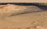
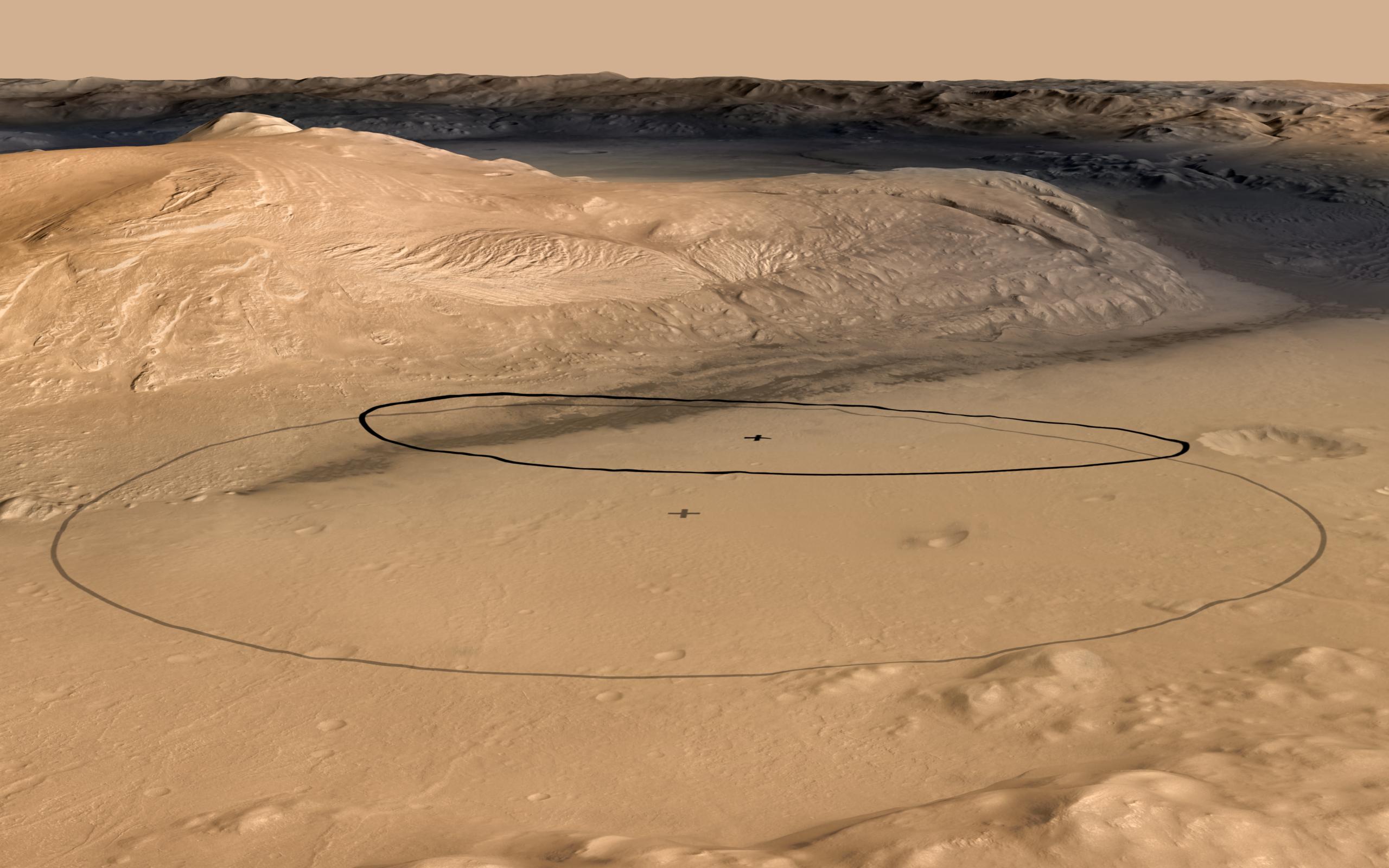
-
PIA15685:
-
Revised Landing Target for Mars Rover Curiosity
Full Resolution:
TIFF
(12.3 MB)
JPEG
(356.8 kB)
|
|
|
2012-06-11 |
Mars
|
Mars Science Laboratory (MSL)
|
|
2560x1600x3 |
|
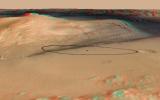
-
PIA15688:
-
Landing Target for Mars Rover Curiosity, in Stereo
Full Resolution:
TIFF
(12.3 MB)
JPEG
(341.3 kB)
|
|
|
2012-08-07 |
Mars
|
Mars Science Laboratory (MSL)
|
|
1024x925x3 |
|
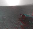
-
PIA16002:
-
3-D View from Behind Curiosity
Full Resolution:
TIFF
(2.843 MB)
JPEG
(94.86 kB)
|
|
|
2012-08-07 |
Mars
|
Mars Science Laboratory (MSL)
|
|
1024x847x3 |
|
-
PIA16003:
-
3-D View from the Front of Curiosity
Full Resolution:
TIFF
(2.603 MB)
JPEG
(97.37 kB)
|
|
|
2012-08-07 |
Mars
|
Mars Science Laboratory (MSL)
|
|
1024x1024x3 |

|
-
PIA16004:
-
3-D View from the Front of Curiosity
Full Resolution:
TIFF
(3.147 MB)
JPEG
(109.6 kB)
|
|
|
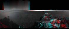
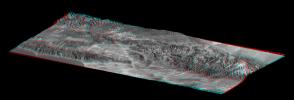
2012-09-04 |
Mars
|
Mars Science Laboratory (MSL)
|
|
7824x3337x3 |
|
-
PIA16140:
-
3-D View from Bradbury Landing Site
Full Resolution:
TIFF
(78.35 MB)
JPEG
(1.916 MB)
|
|
|
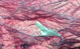
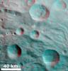
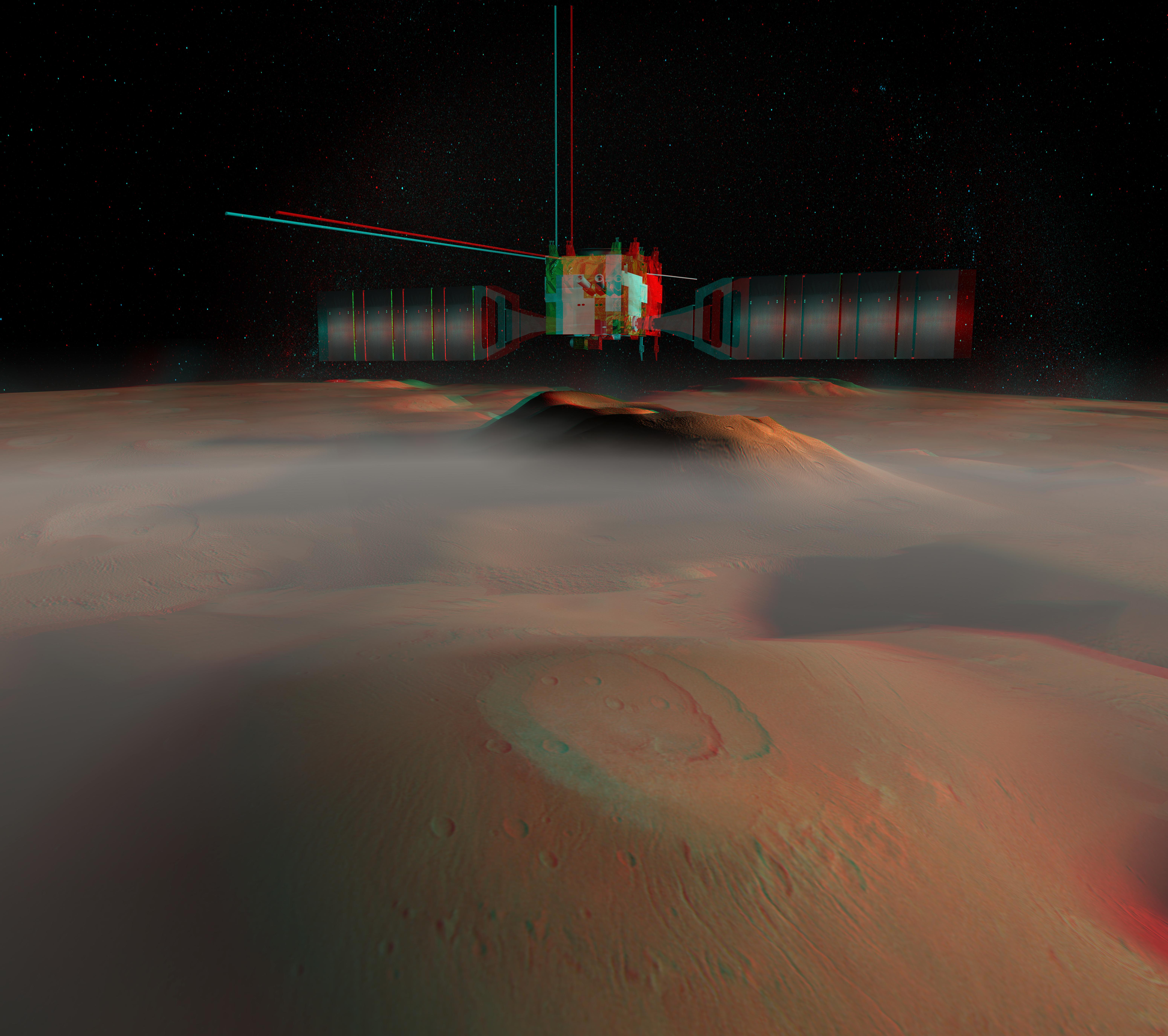
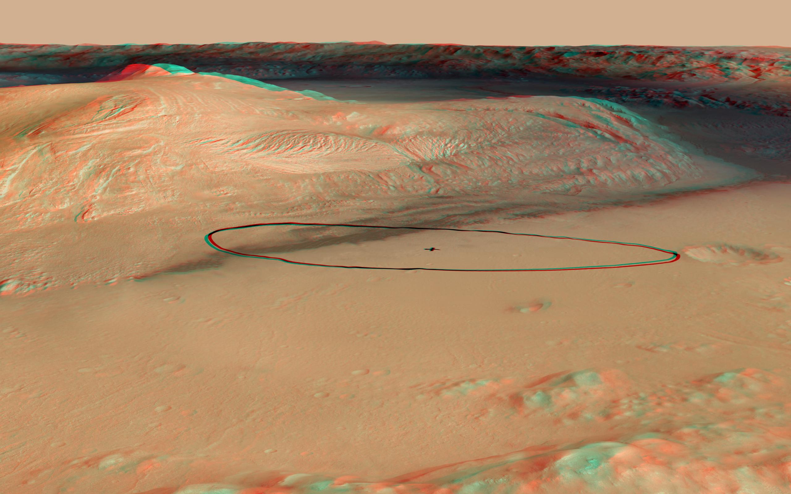
2021-08-04 |
Mars
|
Mars Helicopter
|
|
3808x3120x3 |
|
-
PIA24688:
-
Jezero Crater's Raised Ridges in 3D
Full Resolution:
TIFF
(33.1 MB)
JPEG
(1.337 MB)
|
|
|
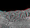
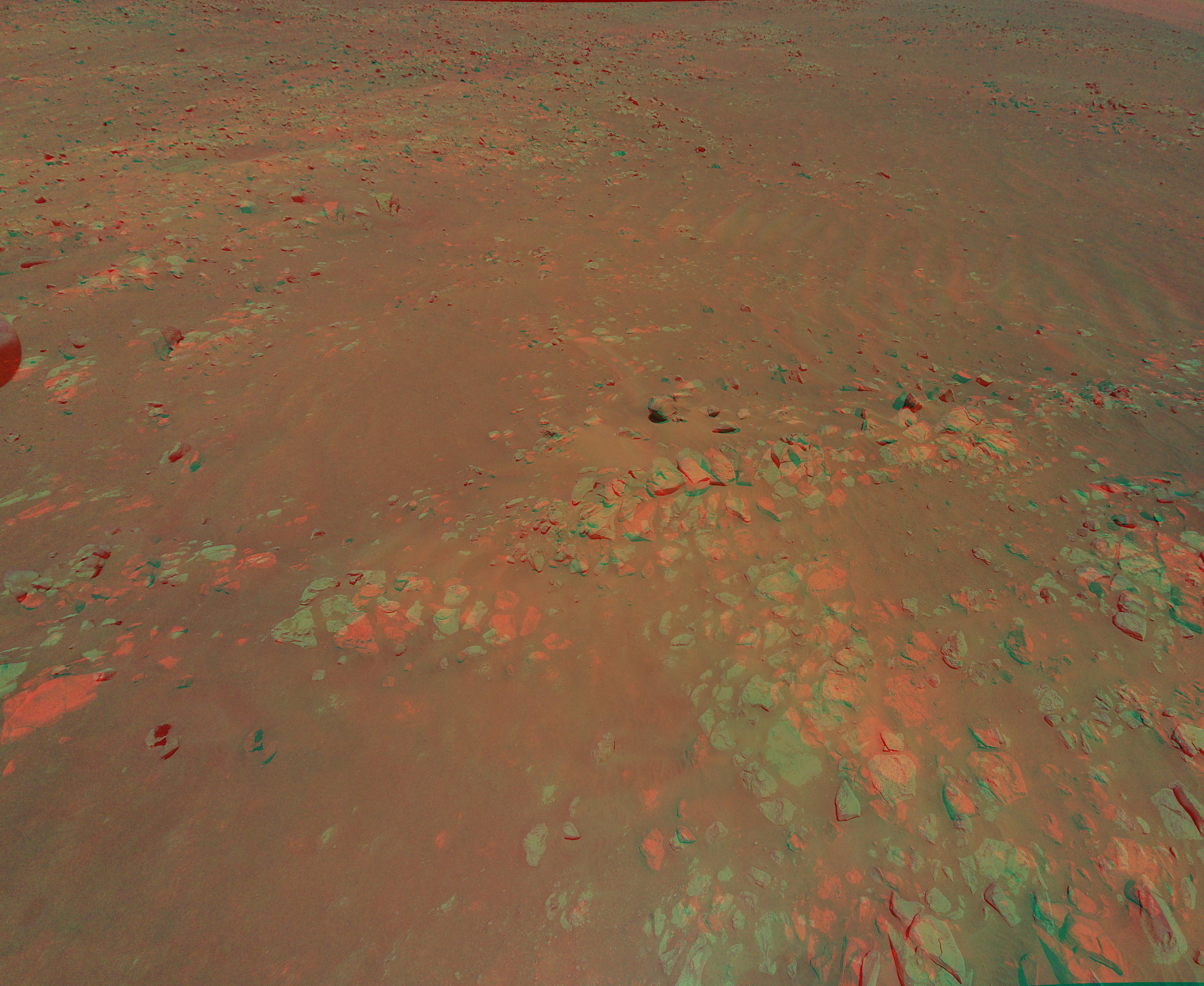
2021-09-17 |
Mars
|
Mars Helicopter
|
|
1552x1153x3 |
|
-
PIA24811:
-
Mars Mound from Ingenuity Helicopter's Perspective in 3D
Full Resolution:
TIFF
(5.37 MB)
JPEG
(269.8 kB)
|
|
|
2005-10-12 |
Earth
|
Terra
|
ASTER
|
2496x1523x3 |
|
-
PIA03030:
-
Landslide in Kashmir (3-D Perspective)
Full Resolution:
TIFF
(11.42 MB)
JPEG
(461.1 kB)
|
|
|
2001-10-22 |
Earth
|
Terra
|
ASTER
|
1200x1354x3 |
|
-
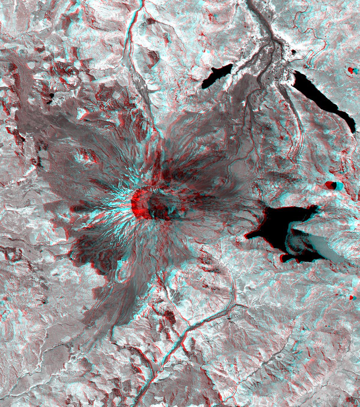
PIA11160:
-
Mt. St. Helens

Full Resolution:
TIFF
(4.88 MB)
JPEG
(460.2 kB)
|
|
|
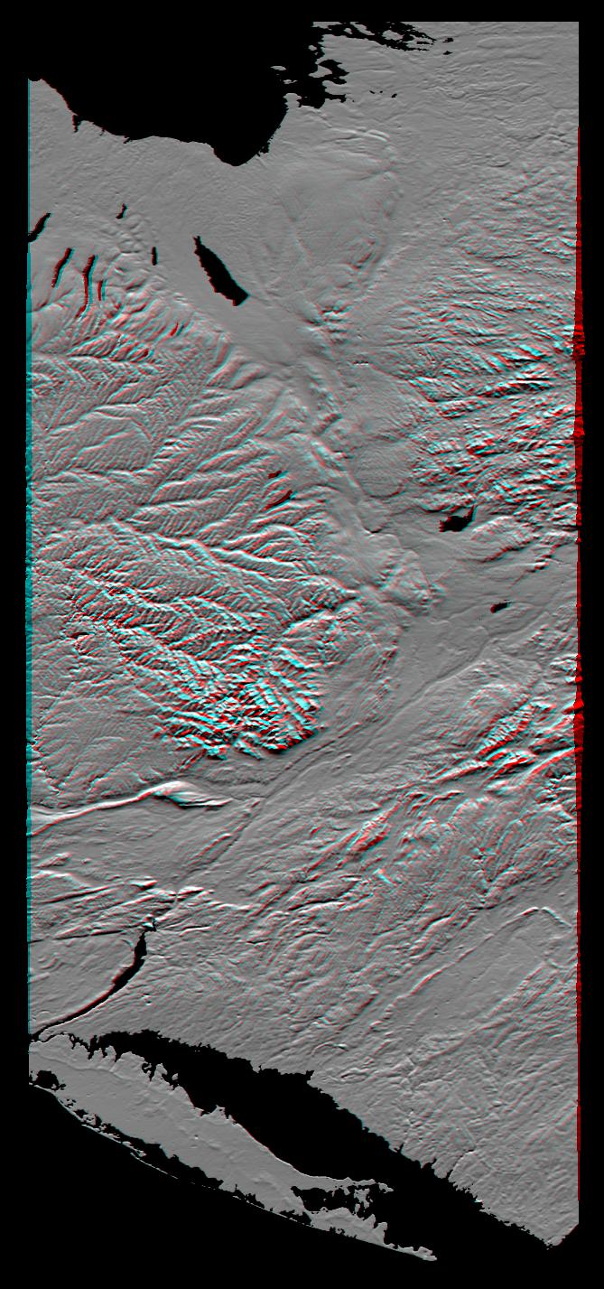
2000-02-18 |
Earth
|
Shuttle Radar Topography Mission (SRTM)
|
C-Band Interferometric Radar
|
737x797x3 |
|
-
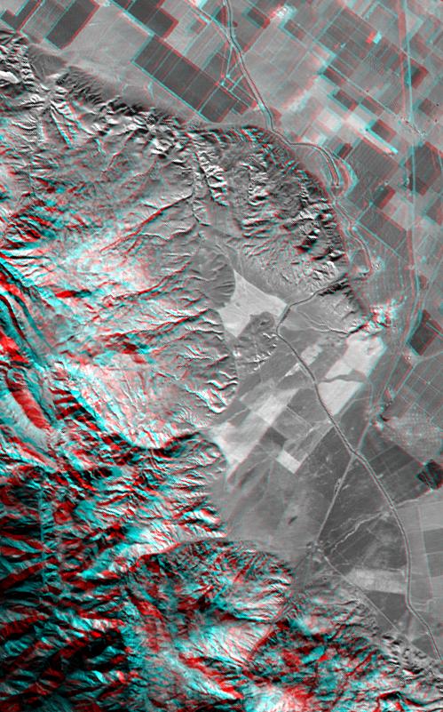
PIA02721:
-
Pasadena, California Anaglyph with Aerial Photo Overlay
Full Resolution:
TIFF
(1.749 MB)
JPEG
(218.8 kB)
|
|
|
2000-02-21 |
Earth
|
Shuttle Radar Topography Mission (SRTM)
|
C-Band Interferometric Radar
|
1929x1800x3 |
|
-
PIA02731:
-
Anaglyph of Perspective View with Aerial Photo Overlay Pasadena, California
Full Resolution:
TIFF
(6.552 MB)
JPEG
(663.3 kB)
|
|
|
2000-06-01 |
Earth
|
Shuttle Radar Topography Mission (SRTM)
|
C-Band Interferometric Radar
|
669x1427x3 |
|
-
PIA02753:
-
Anaglyph of Shaded Relief New York State, Lake Ontario to Long Island
Full Resolution:
TIFF
(1.849 MB)
JPEG
(193.7 kB)
|
|
|
2000-11-02 |
Earth
|
Shuttle Radar Topography Mission (SRTM)
|
C-Band Interferometric Radar
|
1703x1181x3 |
|
-
PIA02784:
-
SRTM Anaglyph: Fiji Islands
Full Resolution:
TIFF
(1.719 MB)
JPEG
(232.7 kB)
|
|
|
2001-06-14 |
Earth
|
Shuttle Radar Topography Mission (SRTM)
|
C-Band Interferometric Radar
|
1935x1240x3 |
|
-
PIA03311:
-
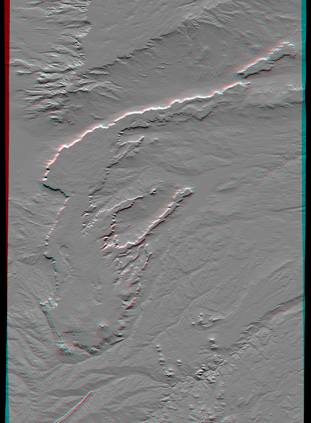
SRTM Anaglyph: Laguna Mellquina, Andes Mountains, Argentina
Full Resolution:
TIFF
(6.146 MB)
JPEG
(457 kB)
|
|
|
2001-07-05 |
Earth
|
Shuttle Radar Topography Mission (SRTM)
|
C-Band Interferometric Radar
|
1600x1763x3 |
|
-
PIA03313:
-
SRTM Anaglyph: Sredinnyy Khrebet, Kamchatka Peninsula, Russia
Full Resolution:
TIFF
(7.882 MB)
JPEG
(667.8 kB)
|
|
|
2001-07-26 |
Earth
|
Shuttle Radar Topography Mission (SRTM)
|
C-Band Interferometric Radar
|
2020x1350x3 |
|
-
PIA03317:
-
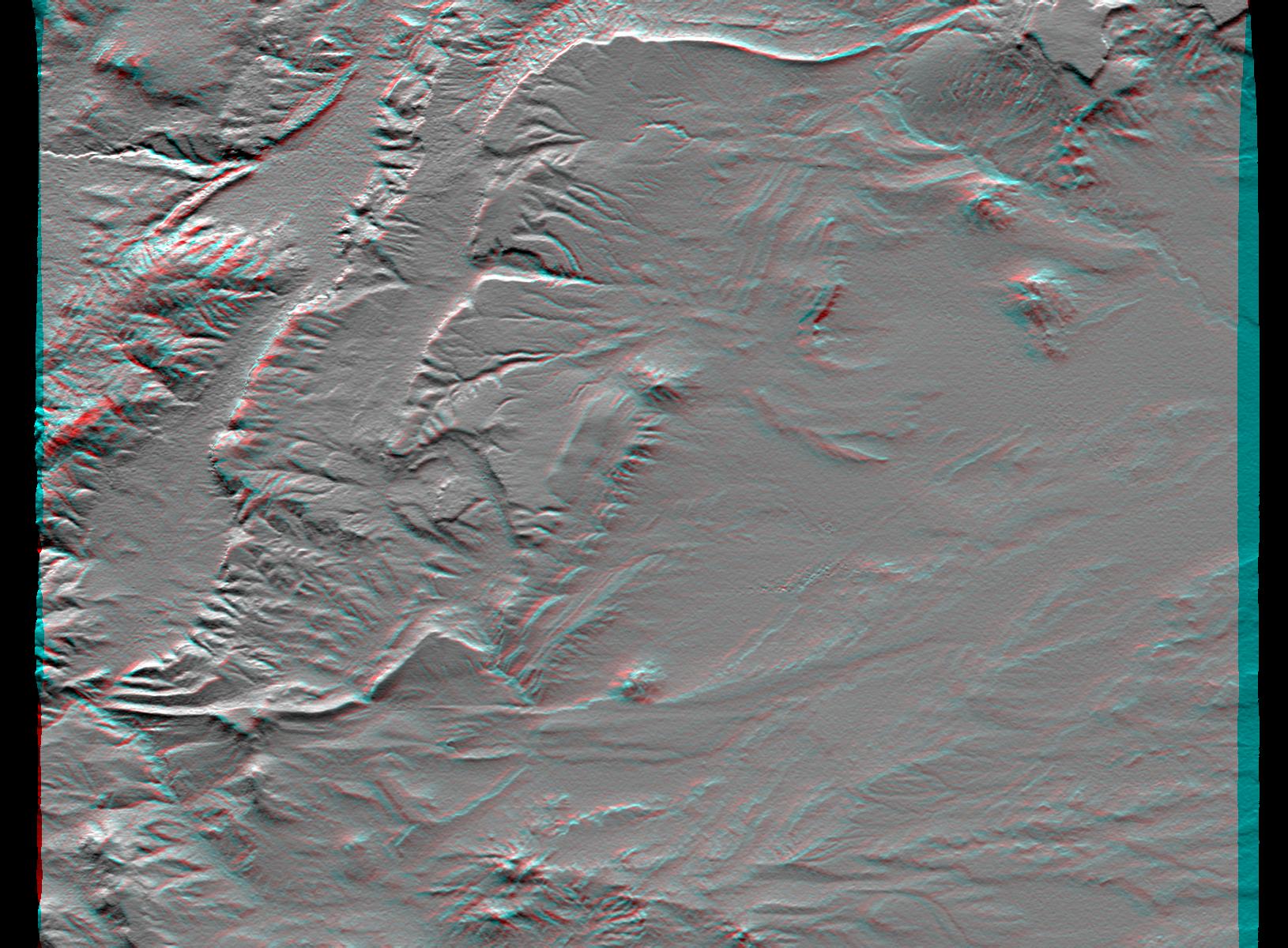
SRTM Anaglyph: Corral de Piedra, Argentina
Full Resolution:
TIFF
(6.425 MB)
JPEG
(486.8 kB)
|
|
|
2001-08-03 |
Earth
|
Shuttle Radar Topography Mission (SRTM)
|
C-Band Interferometric Radar
|
2501x1201x3 |
|
-
PIA03320:
-
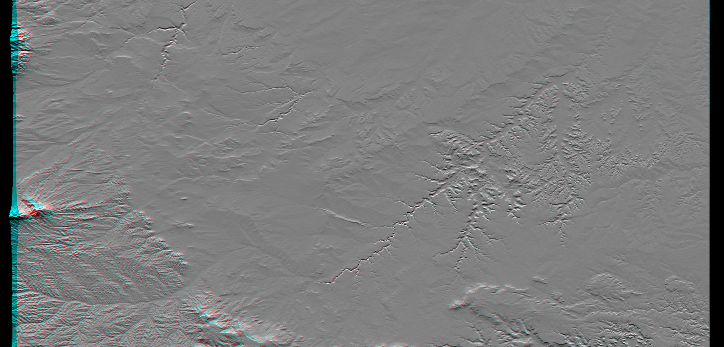
SRTM Anaglyph: Piñon Canyon region, Colorado
Full Resolution:
TIFF
(5.238 MB)
JPEG
(349.1 kB)
|
|
|
2001-08-16 |
Earth
|
Shuttle Radar Topography Mission (SRTM)
|
C-Band Interferometric Radar
|
1090x1480x3 |
|
-
PIA03323:
-
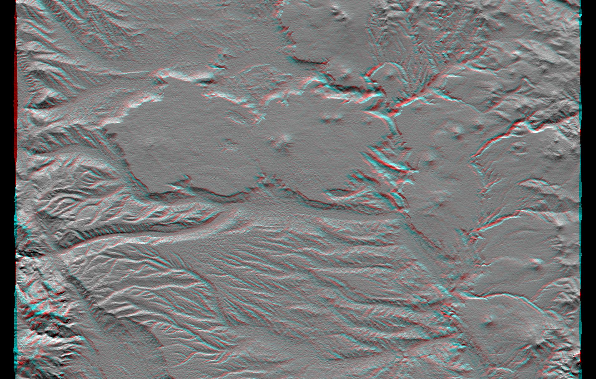
SRTM Anaglyph: Lava plateaus, Argentina
Full Resolution:
TIFF
(3.841 MB)
JPEG
(284.2 kB)
|
|
|
2001-08-24 |
Earth
|
Shuttle Radar Topography Mission (SRTM)
|
C-Band Interferometric Radar
|
1630x1200x3 |
|
-
PIA03325:
-
SRTM Anaglyph: Near Zapala, Argentina
Full Resolution:
TIFF
(4.867 MB)
JPEG
(318.9 kB)
|
|
|
2001-09-01 |
Earth
|
Shuttle Radar Topography Mission (SRTM)
|
C-Band Interferometric Radar
|
1910x1215x3 |
|
-
PIA03326:
-
SRTM Anaglyph: Las Bayas, Argentina
Full Resolution:
TIFF
(5.28 MB)
JPEG
(429.3 kB)
|
|
|
2002-09-26 |
Earth
|
Shuttle Radar Topography Mission (SRTM)
|
C-Band Interferometric Radar
|
1200x1200x3 |
|
-
PIA03362:
-
Anaglyph: Shaded Relief and Height as Brightness, Iturralde Structure, Bolivia
Full Resolution:
TIFF
(3.729 MB)
JPEG
(366.1 kB)
|
|
|
2003-03-06 |
Earth
|
Shuttle Radar Topography Mission (SRTM)
|
C-Band Interferometric Radar
|
9600x7240x3 |

|
-
PIA03378:
-
Anaglyph, North America
Full Resolution:
TIFF
(94.73 MB)
JPEG
(9.055 MB)
|
|
|
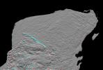
2003-03-06 |
Earth
|
Shuttle Radar Topography Mission (SRTM)
|
C-Band Interferometric Radar
|
1600x1080x3 |
|
-
PIA03380:
-
Anaglyph, Yucatan Peninsula, Mexico
Full Resolution:
TIFF
(2.651 MB)
JPEG
(362 kB)
|
|
|
2003-03-13 |
Earth
|
Shuttle Radar Topography Mission (SRTM)
|
C-Band Interferometric Radar
|
1587x1536x3 |
|
-
PIA03382:
-
Massanutten Mountain, Virginia, USA (Anaglyph)
Full Resolution:
TIFF
(6.914 MB)
JPEG
(527.2 kB)
|
|
|
2003-03-27 |
Earth
|
Shuttle Radar Topography Mission (SRTM)
|
C-Band Interferometric Radar
|
1573x2401x3 |
|
-
PIA03385:
-
Anaglyph, Manicouagan Crater, Quebec, Canada
Full Resolution:
TIFF
(9.691 MB)
JPEG
(826 kB)
|
|
|
2003-06-19 |
Earth
|
Shuttle Radar Topography Mission (SRTM)
|
C-Band Interferometric Radar
|
7200x10886x3 |

|
-
PIA03389:
-
Anaglyph, South America
Full Resolution:
TIFF
(50.13 MB)
JPEG
(6.633 MB)
|
|
|
2003-07-03 |
Earth
|
Landsat
Shuttle Radar Topography Mission (SRTM)
|
C-Band Interferometric Radar
|
2805x1705x3 |
|
-
PIA03392:
-
Anaglyph with Landsat Virgin Islands, Caribbean
Full Resolution:
TIFF
(7.529 MB)
JPEG
(737 kB)
|
|
|
2000-02-16 |
Earth
|
Landsat
Shuttle Radar Topography Mission (SRTM)
|
C-Band Interferometric Radar
Thematic Mapper
|
1412x1588x3 |
|
-
PIA02709:
-
Anaglyph with Landsat Overlay, Kamchatka Peninsula, Russia
Full Resolution:
TIFF
(6.288 MB)
JPEG
(309.4 kB)
|
|
|
2000-02-20 |
Earth
|
Landsat
Shuttle Radar Topography Mission (SRTM)
|
C-Band Interferometric Radar
Thematic Mapper
|
940x658x3 |
|
-
PIA02728:
-
Anaglyph, Landsat overlay Honolulu, Hawaii
Full Resolution:
TIFF
(1.436 MB)
JPEG
(112.3 kB)
|
|
|
2000-03-10 |
Earth
|
Landsat
Shuttle Radar Topography Mission (SRTM)
|
C-Band Interferometric Radar
Thematic Mapper
|
1218x1366x3 |
|
-
PIA02736:
-
Anaglyph, Landsat overlay, Southernmost Coastal Oman
Full Resolution:
TIFF
(4.27 MB)
JPEG
(312.1 kB)
|
|
|
2000-04-13 |
Earth
|
Landsat
Shuttle Radar Topography Mission (SRTM)
|
C-Band Interferometric Radar
Thematic Mapper
|
839x651x3 |
|
-
PIA02744:
-
Anaglyph, Lake Palanskoye Landslide, Kamchatka Peninsula, Russia
Full Resolution:
TIFF
(1.501 MB)
JPEG
(180.1 kB)
|
|
|
2000-05-11 |
Earth
|
Landsat
Shuttle Radar Topography Mission (SRTM)
|
C-Band Interferometric Radar
Thematic Mapper
|
2158x1540x3 |
|
-
PIA02750:
-
Anaglyph, Landsat Overlay: Wellington, New Zealand
Full Resolution:
TIFF
(7.542 MB)
JPEG
(613.9 kB)
|
|
|
2000-06-22 |
Earth
|
Landsat
Shuttle Radar Topography Mission (SRTM)
|
C-Band Interferometric Radar
Thematic Mapper
|
2920x4236x3 |
|
-
PIA02755:
-
Anaglyph, Patagonia, Argentina
Full Resolution:
TIFF
(19.93 MB)
JPEG
(2.452 MB)
|
|
|
2000-06-29 |
Earth
|
Landsat
Shuttle Radar Topography Mission (SRTM)
|
C-Band Interferometric Radar
Thematic Mapper
|
506x798x3 |
|
-
PIA02761:
-
Anaglyph: Patagonia, Argentina
Full Resolution:
TIFF
(1.101 MB)
JPEG
(79.37 kB)
|
|
|
2000-07-13 |
Earth
|
Landsat
Shuttle Radar Topography Mission (SRTM)
|
C-Band Interferometric Radar
Thematic Mapper
|
1631x956x3 |
|
-
PIA02762:
-
Anaglyph: Basalt Cliffs, Patagonia, Argentina
Full Resolution:
TIFF
(2.516 MB)
JPEG
(296.4 kB)
|
|
|
2000-07-20 |
Earth
|
Landsat
Shuttle Radar Topography Mission (SRTM)
|
C-Band Interferometric Radar
Thematic Mapper
|
718x907x3 |
|
-
PIA02764:
-
SRTM Anaglyph: Inverted Topography, Patagonia, Argentina
Full Resolution:
TIFF
(1.025 MB)
JPEG
(149.5 kB)
|
|
|
2000-07-27 |
Earth
|
Landsat
Shuttle Radar Topography Mission (SRTM)
|
C-Band Interferometric Radar
Thematic Mapper
|
999x1335x3 |
|
-
PIA02766:
-
SRTM Anaglyph: Meseta de Somuncura, Patagonia, Argentina (Near Los Menucos)
Full Resolution:
TIFF
(3.633 MB)
JPEG
(273.4 kB)
|
|
|
2000-08-31 |
Earth
|
Landsat
Shuttle Radar Topography Mission (SRTM)
|
C-Band Interferometric Radar
Thematic Mapper
|
499x801x3 |

|
-
PIA02772:
-
SRTM Anaglyph: Wheeler Ridge, California
Full Resolution:
TIFF
(1.069 MB)
JPEG
(109.4 kB)
|
|
|
2000-09-21 |
Earth
|
Landsat
Shuttle Radar Topography Mission (SRTM)
|
C-Band Interferometric Radar
Thematic Mapper
|
1786x2356x3 |
|
-
PIA02777:
-
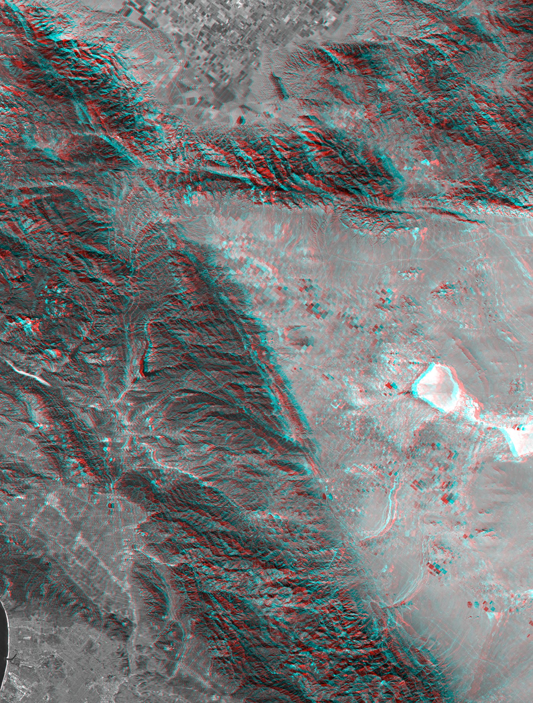
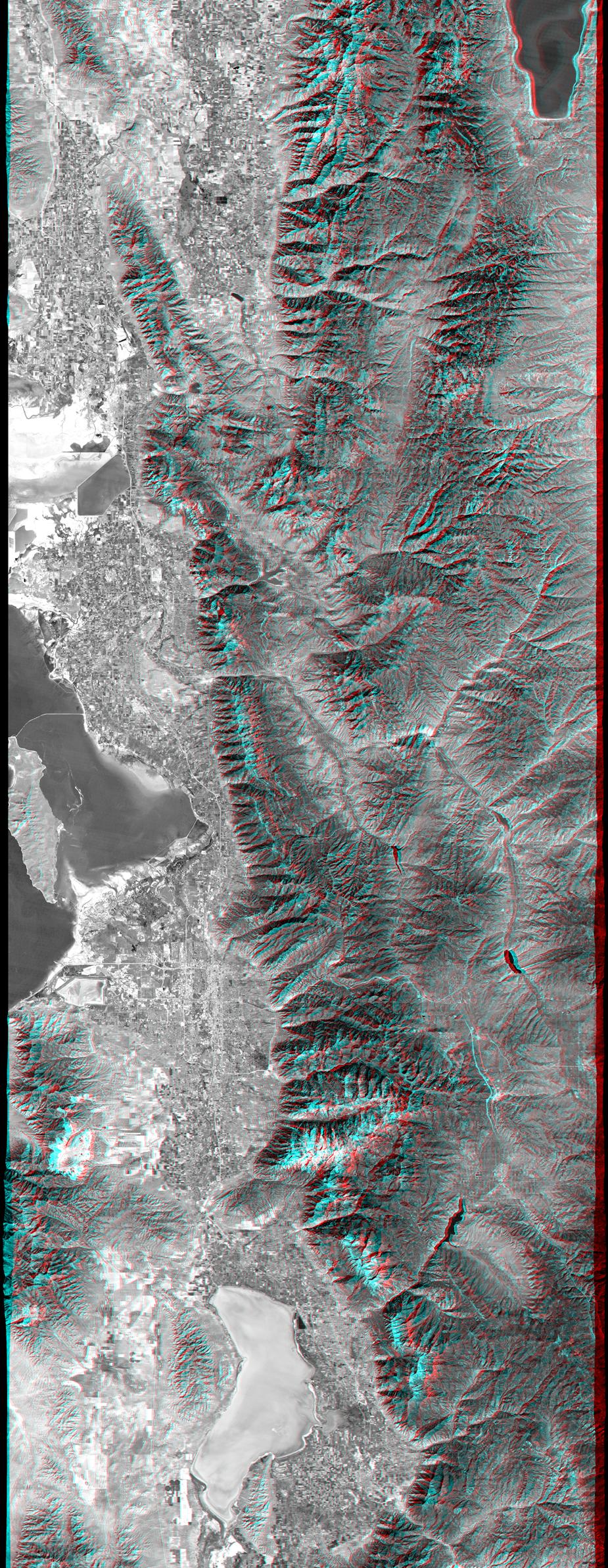
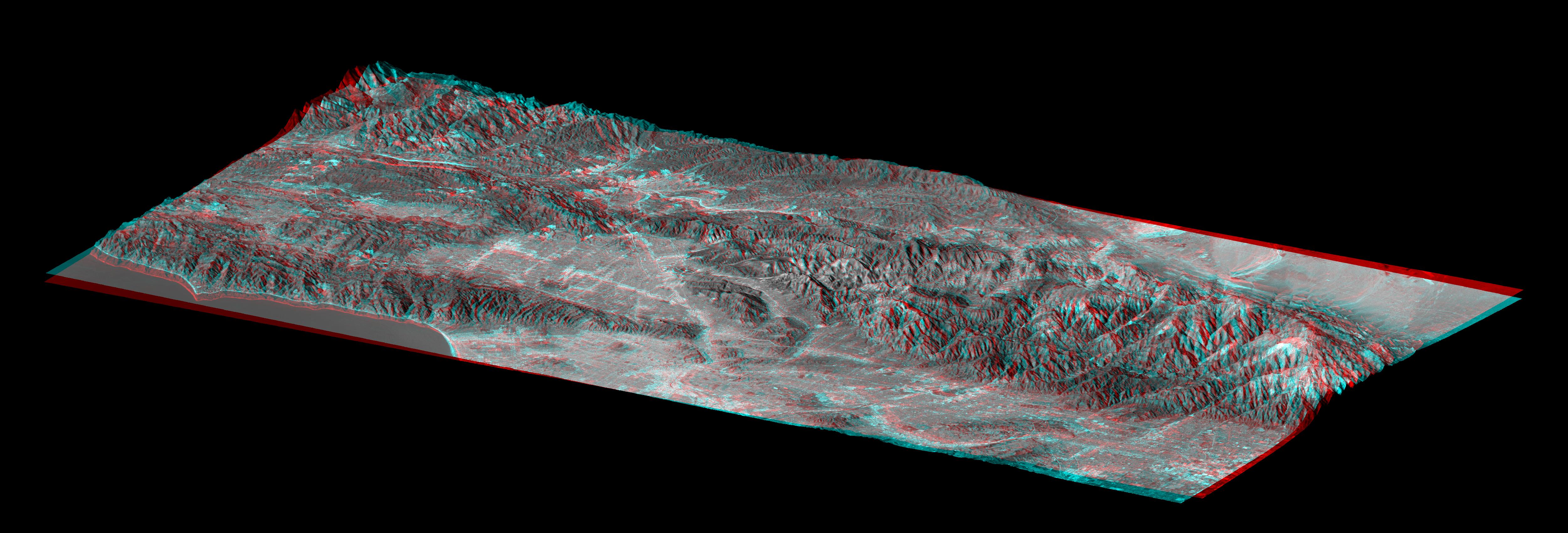
SRTM Anaglyph with Landsat Overlay: Los Angeles to San Joaquin Valley, California
Full Resolution:
TIFF
(12.92 MB)
JPEG
(1.054 MB)
|
|
|
2000-10-20 |
Earth
|
Landsat
Shuttle Radar Topography Mission (SRTM)
|
C-Band Interferometric Radar
Thematic Mapper
|
1212x1518x3 |
|
-
PIA02781:
-
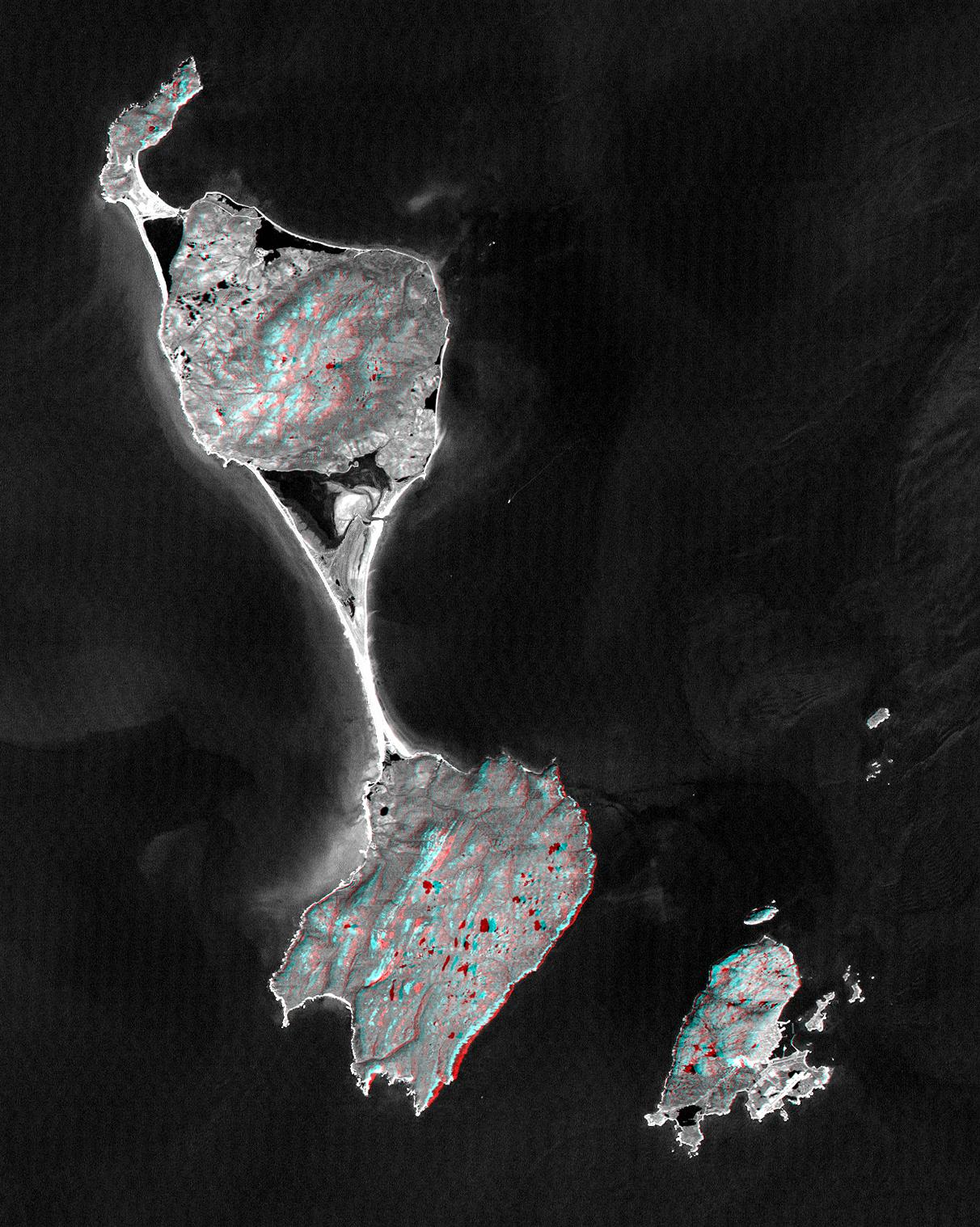
SRTM Anaglyph with Landsat Overlay: Miquelon and Saint Pierre Islands
Full Resolution:
TIFF
(3.237 MB)
JPEG
(324.2 kB)
|
|
|
2001-04-05 |
Earth
|
Landsat
Shuttle Radar Topography Mission (SRTM)
|
C-Band Interferometric Radar
Thematic Mapper
|
451x691x3 |
|
-
PIA02797:
-
SRTM Anaglyph: Bhuj, India, Two Weeks After Earthquake
Full Resolution:
TIFF
(870.6 kB)
JPEG
(98.48 kB)
|
|
|
2001-05-02 |
Earth
|
Landsat
Shuttle Radar Topography Mission (SRTM)
|
C-Band Interferometric Radar
Thematic Mapper
|
477x745x3 |
|
-
PIA03303:
-
SRTM Anaglyph: Haro and Kas Hills
Full Resolution:
TIFF
(989 kB)
JPEG
(108.1 kB)
|
|
|
2001-05-24 |
Earth
|
Landsat
Shuttle Radar Topography Mission (SRTM)
|
C-Band Interferometric Radar
Thematic Mapper
|
941x1304x3 |
|
-
PIA03307:
-
SRTM Anaglyph: Roads versus Dikes near Bhuj, India
Full Resolution:
TIFF
(2.534 MB)
JPEG
(344.1 kB)
|
|
|
2001-05-31 |
Earth
|
Landsat
Shuttle Radar Topography Mission (SRTM)
|
C-Band Interferometric Radar
Thematic Mapper
|
398x710x3 |
|
-
PIA03309:
-
SRTM Anaglyph: Northwest of Bhuj, India
Full Resolution:
TIFF
(802.2 kB)
JPEG
(84.41 kB)
|
|
|
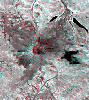
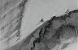
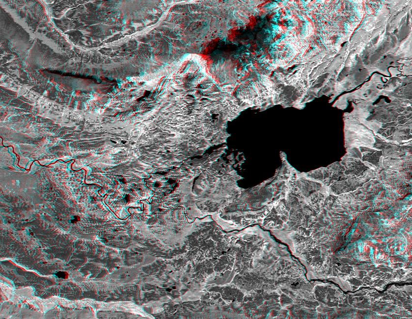
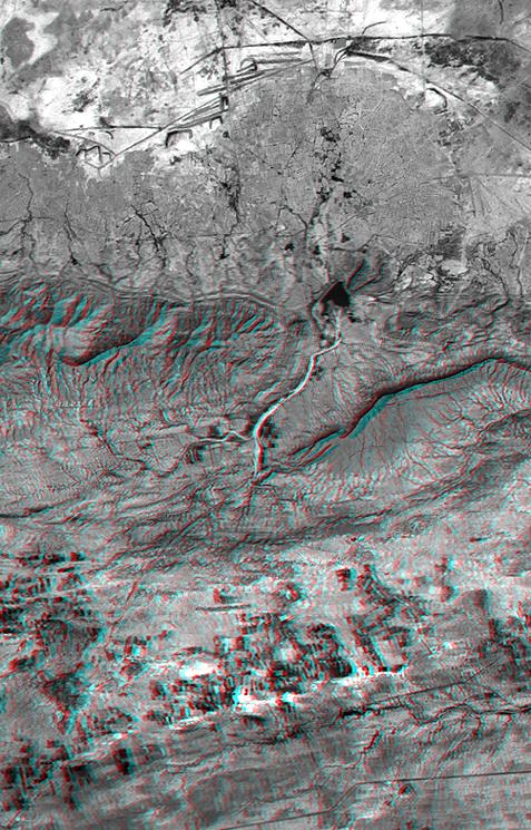
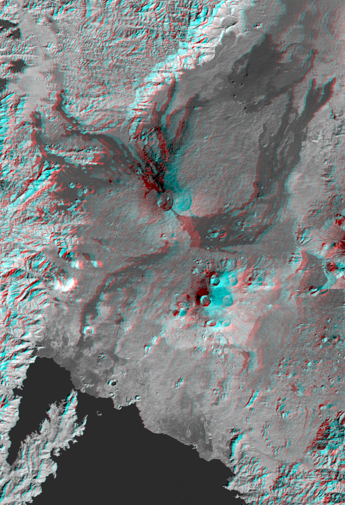
2002-02-01 |
Earth
|
Landsat
Shuttle Radar Topography Mission (SRTM)
|
C-Band Interferometric Radar
Thematic Mapper
|
1384x2022x3 |
|
-
PIA03340:
-
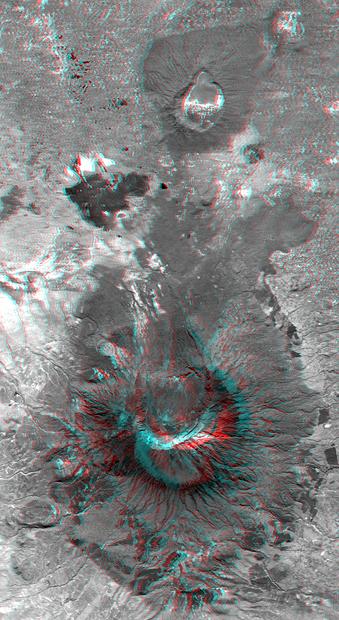
Nyiragongo volcano, Congo, Anaglyph, SRTM / Landsat
Full Resolution:
TIFF
(7.001 MB)
JPEG
(499 kB)
|
|
|
2002-02-06 |
Earth
|
Landsat
Shuttle Radar Topography Mission (SRTM)
|
C-Band Interferometric Radar
Thematic Mapper
|
925x2385x3 |
|
-
PIA03343:
-
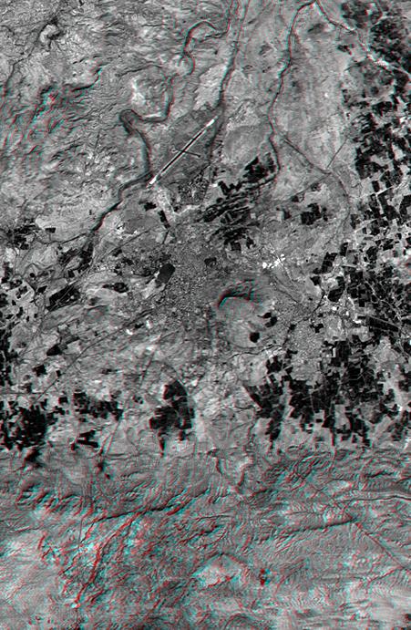
Anaglyph, Salt Lake City, Utah
Full Resolution:
TIFF
(6.158 MB)
JPEG
(683.6 kB)
|
|
|
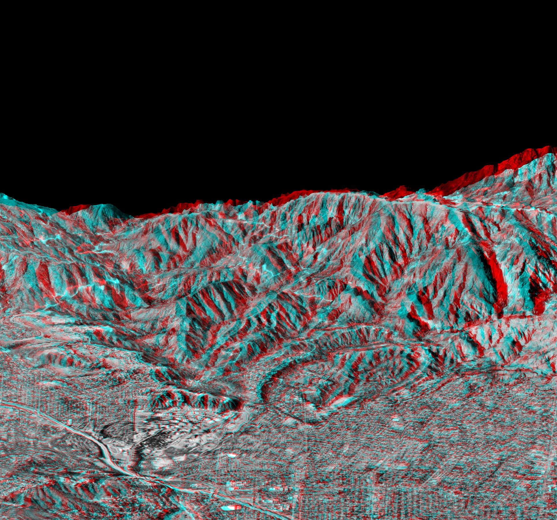
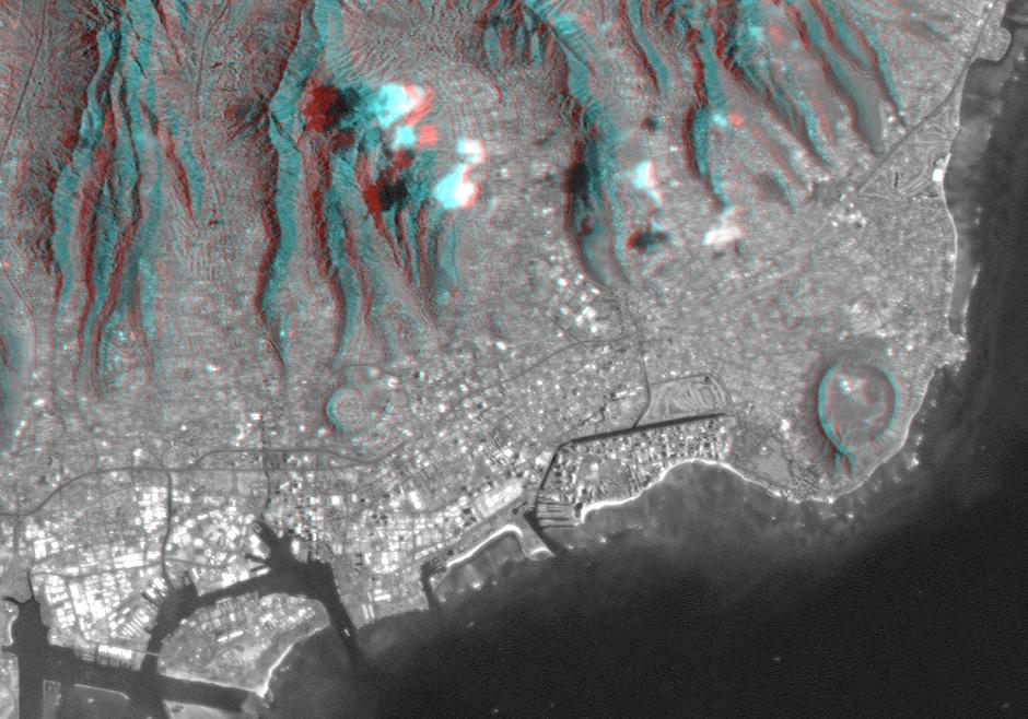
2002-02-28 |
Earth
|
Landsat
Shuttle Radar Topography Mission (SRTM)
|
C-Band Interferometric Radar
Thematic Mapper
|
1958x799x3 |
|
-
PIA03345:
-
Anaglyph, Metro Los Angeles, Calif.: Malibu to Mount Baldy
Full Resolution:
TIFF
(3.198 MB)
JPEG
(298.8 kB)
|
|
|
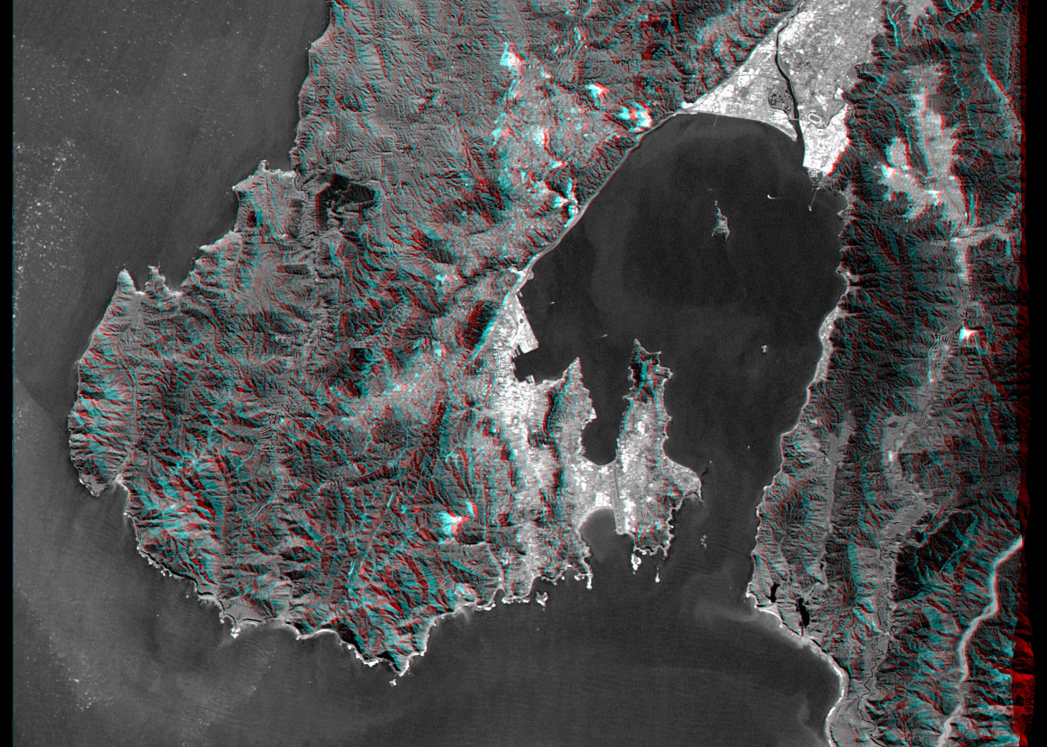
2002-09-12 |
Earth
|
Landsat
Shuttle Radar Topography Mission (SRTM)
|
C-Band Interferometric Radar
Thematic Mapper
|
339x620x3 |

|
-
PIA03358:
-
Anaglyph with Landsat Overlay, Mount Meru, Tanzania
Full Resolution:
TIFF
(602.1 kB)
JPEG
(56.43 kB)
|
|
|
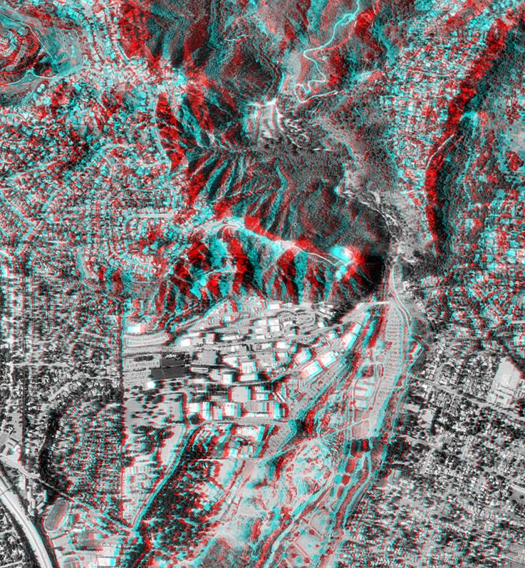
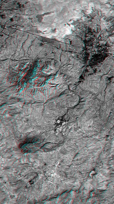
2002-09-19 |
Earth
|
Landsat
Shuttle Radar Topography Mission (SRTM)
|
C-Band Interferometric Radar
Thematic Mapper
|
1009x1600x3 |
|
-
PIA03360:
-
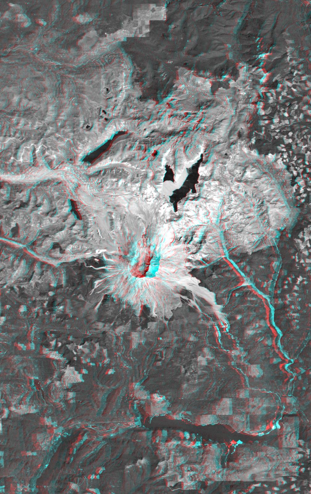
Anaglyph, Mount St Helens, Washington State
Full Resolution:
TIFF
(4.217 MB)
JPEG
(309 kB)
|
|
|
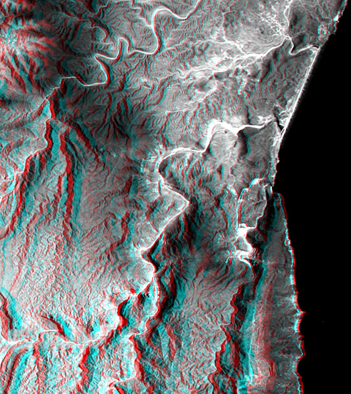
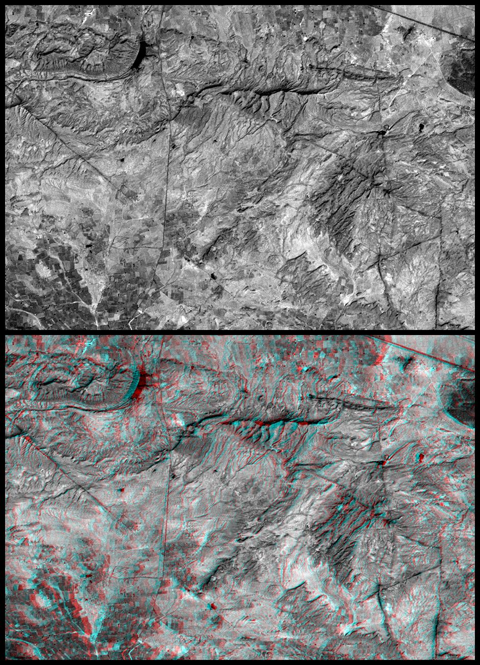
2003-05-01 |
Earth
|
Landsat
Shuttle Radar Topography Mission (SRTM)
|
C-Band Interferometric Radar
Thematic Mapper
|
3262x3162x3 |
|
-
PIA03387:
-
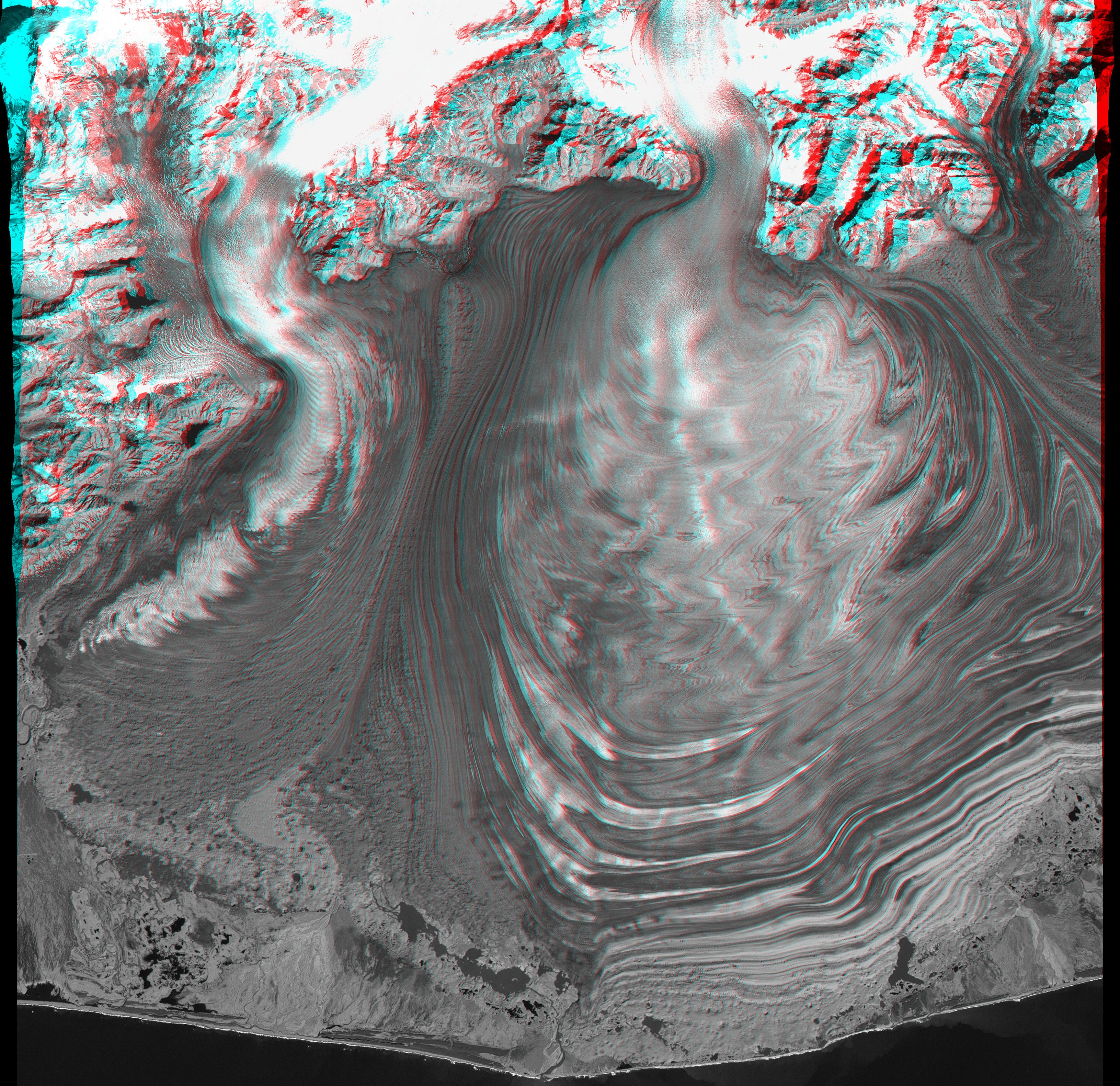
Malaspina Glacier, Alaska, Anaglyph with Landsat Overlay
Full Resolution:
TIFF
(26.8 MB)
JPEG
(2.079 MB)
|
|
|
2004-06-17 |
Earth
|
Shuttle Radar Topography Mission (SRTM)
|
C-Band Interferometric Radar
X-Band Radar
|
1588x1060x3 |
|
-
PIA04955:
-
Zagros Mountains, Iran, SRTM Shaded Relief Anaglyph
Full Resolution:
TIFF
(4.247 MB)
JPEG
(318.1 kB)
|
|
|
2004-06-17 |
Earth
|
Landsat
Shuttle Radar Topography Mission (SRTM)
|
C-Band Interferometric Radar
X-Band Radar
|
4463x3000x3 |
|
-
PIA04960:
-
Cape Town, South Africa, Anaglyph, Landsat Image over SRTM Elevation
Full Resolution:
TIFF
(26.41 MB)
JPEG
(2.219 MB)
|
|
|
2004-06-17 |
Earth
|
Landsat
Shuttle Radar Topography Mission (SRTM)
|
C-Band Interferometric Radar
X-Band Radar
|
5657x3645x3 |
|
-
PIA04962:
-
Richat Structure, Mauritania, Anaglyph, Landsat Image over SRTM Elevation
Full Resolution:
TIFF
(54.43 MB)
JPEG
(3.974 MB)
|
|
|
2004-06-17 |
Earth
|
Shuttle Radar Topography Mission (SRTM)
|
C-Band Interferometric Radar
X-Band Radar
|
9600x10500x3 |

|
-
PIA04964:
-
Africa in SRTM 3-D, Anaglyph of Shaded Relief
Full Resolution:
TIFF
(123.1 MB)
JPEG
(13.79 MB)
|
|
|
2004-07-03 |
Earth
|
Landsat
Shuttle Radar Topography Mission (SRTM)
|
C-Band Radar
X-Band Radar
|
5000x1700x3 |
|
-
PIA04968:
-
Library of Congress Model, Anaglyph
Full Resolution:
TIFF
(9.503 MB)
JPEG
(858.8 kB)
|
|
|
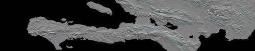
2010-01-14 |
Earth
|
Shuttle Radar Topography Mission (SRTM)
|
C-Band Radar
X-Band Radar
|
6001x1201x3 |
|
-
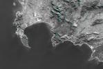
PIA12493:
Southern Haiti Anaglyph
Full Resolution:
TIFF
(21.62 MB)
JPEG
(900.4 kB)
|
|
|
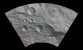
2011-10-11 |
Vesta
|
Dawn
|
Framing Camera
|
1260x1450x3 |
|
-
PIA14891:
-
Anaglyph Image of the Mountain-Central Complex in Vesta's South Polar Region
Full Resolution:
TIFF
(5.487 MB)
JPEG
(220.5 kB)
|
|
|
2011-07-18 |
Vesta
|
Dawn
|
Framing Camera
|
550x537x3 |
|
-
PIA14314:
-
Anaglyph Image of Vesta's South Polar Region
Full Resolution:
TIFF
(887.4 kB)
JPEG
(32.98 kB)
|
|
|
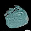
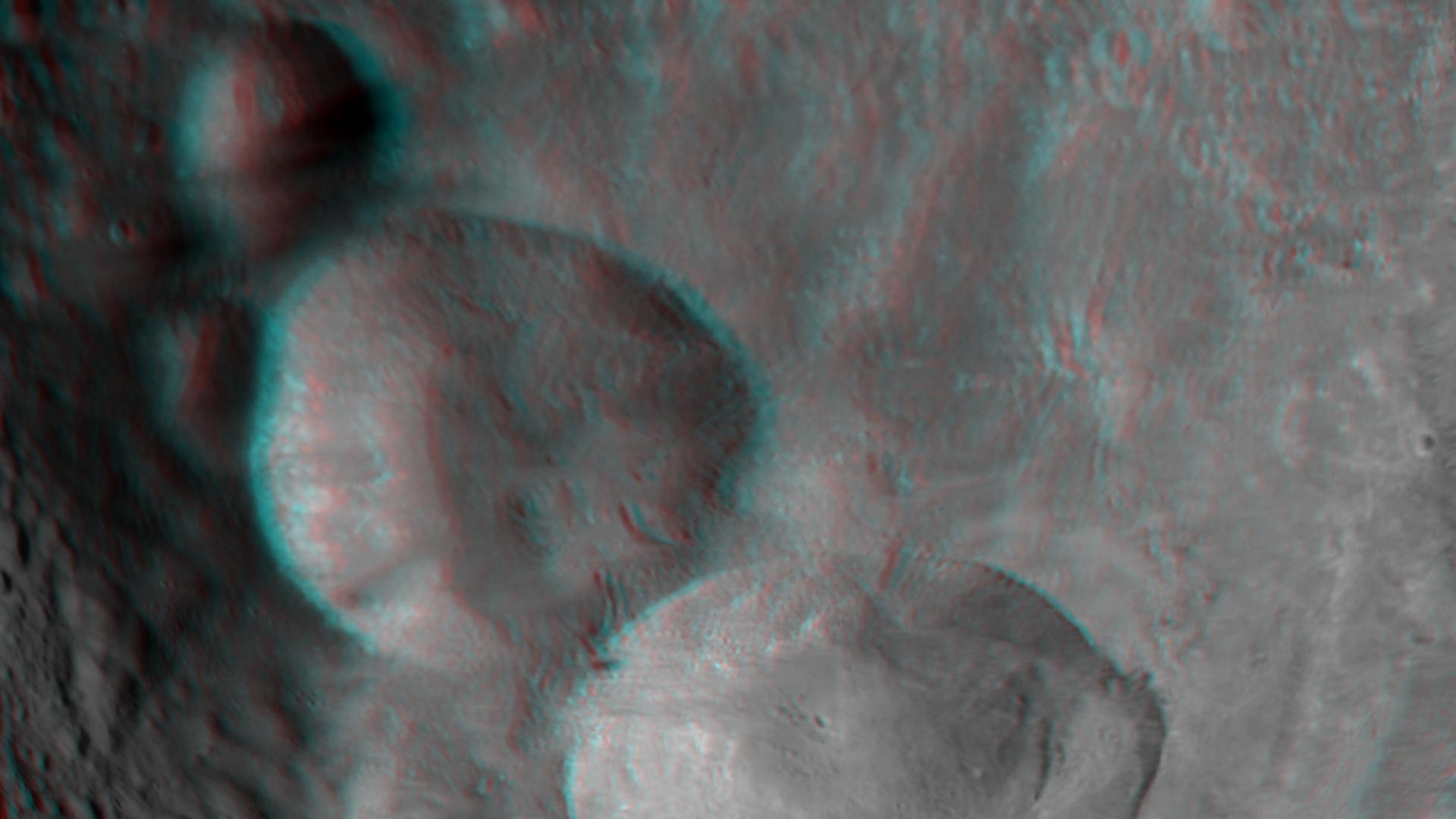
2011-08-16 |
Vesta
|
Dawn
|
Framing Camera
|
1186x1180x3 |

|
-
PIA14327:
-
3-D Image of Vesta's Equatorial Region
Full Resolution:
TIFF
(4.203 MB)
JPEG
(129.4 kB)
|
|
|
2011-08-18 |
Vesta
|
Dawn
|
Framing Camera
|
1128x1413x3 |
|
-
PIA14674:
-
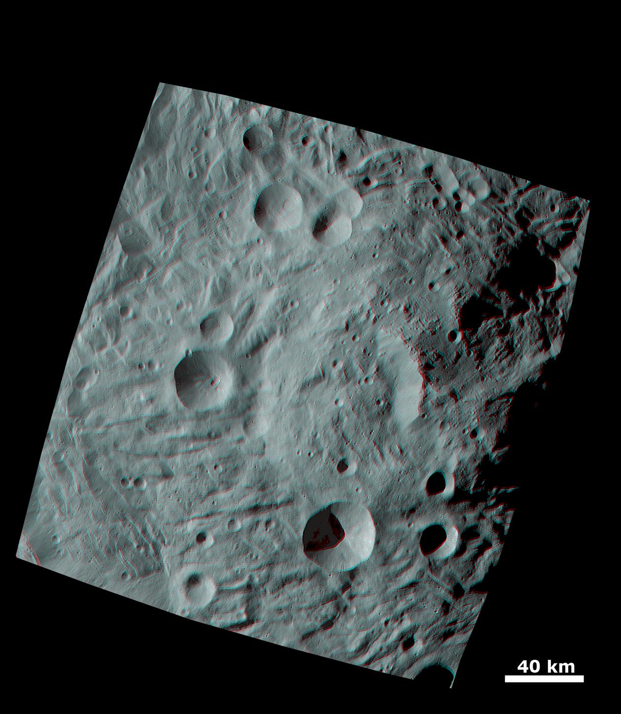
Topography of Densely Cratered Deformed Terrain
Full Resolution:
TIFF
(4.787 MB)
JPEG
(129.8 kB)
|
|
|
2011-08-20 |
Vesta
|
Dawn
|
Framing Camera
|
1222x1350x3 |
|
-
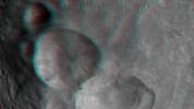
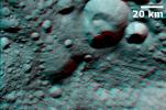
PIA14676:
-
Anaglyph of the 'Snowman' Crater
Full Resolution:
TIFF
(4.955 MB)
JPEG
(144.6 kB)
|
|
|
2011-09-12 |
Vesta
|
Dawn
|
Framing Camera
|
1260x1400x3 |
|
-
PIA14699:
-
Anaglyph of Craters in the South Polar Region
Full Resolution:
TIFF
(5.298 MB)
JPEG
(124.5 kB)
|
|
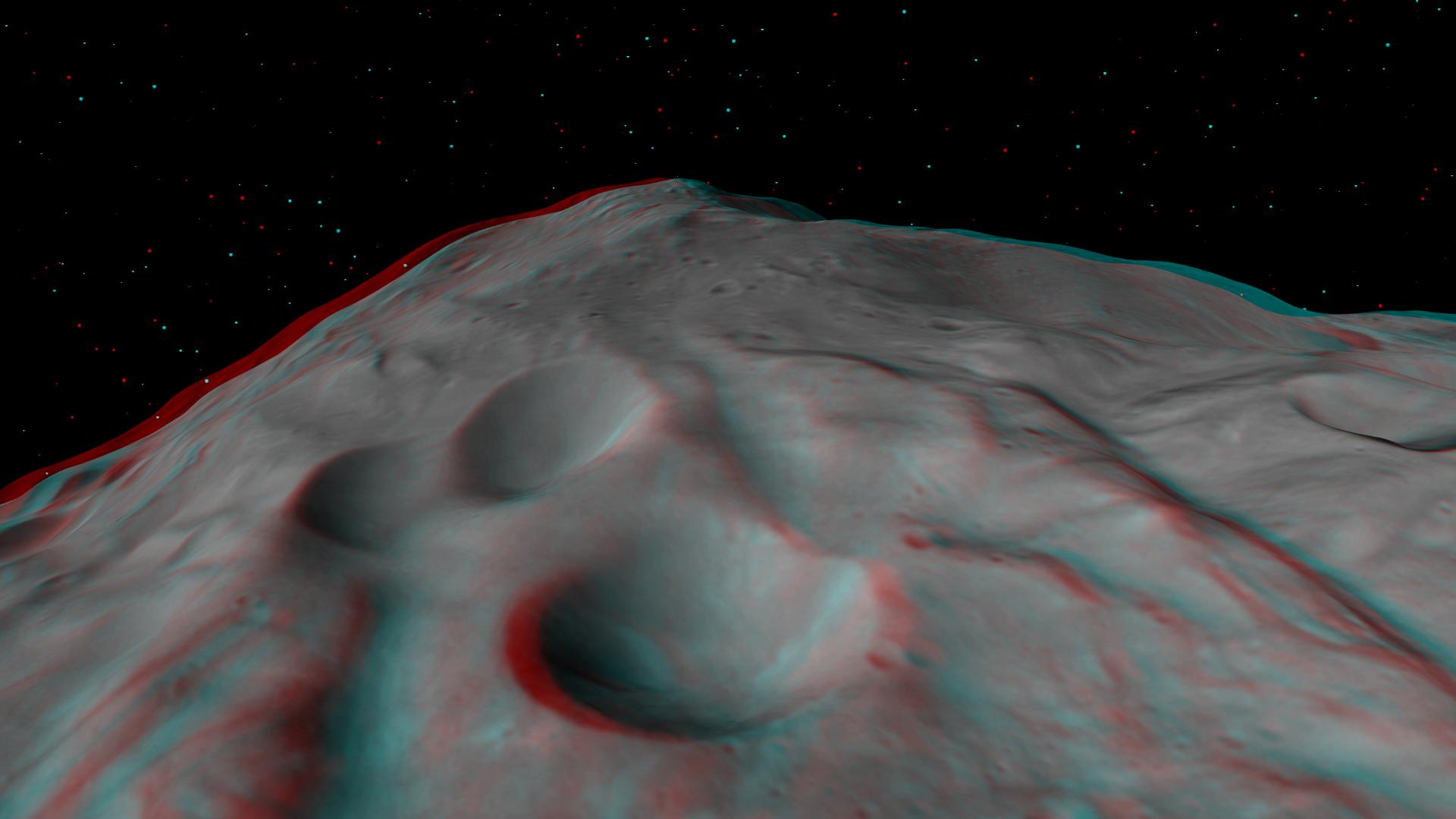
|
2011-09-16 |
Vesta
|
Dawn
|
Framing Camera
|
2520x2900x3 |
|
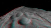
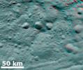
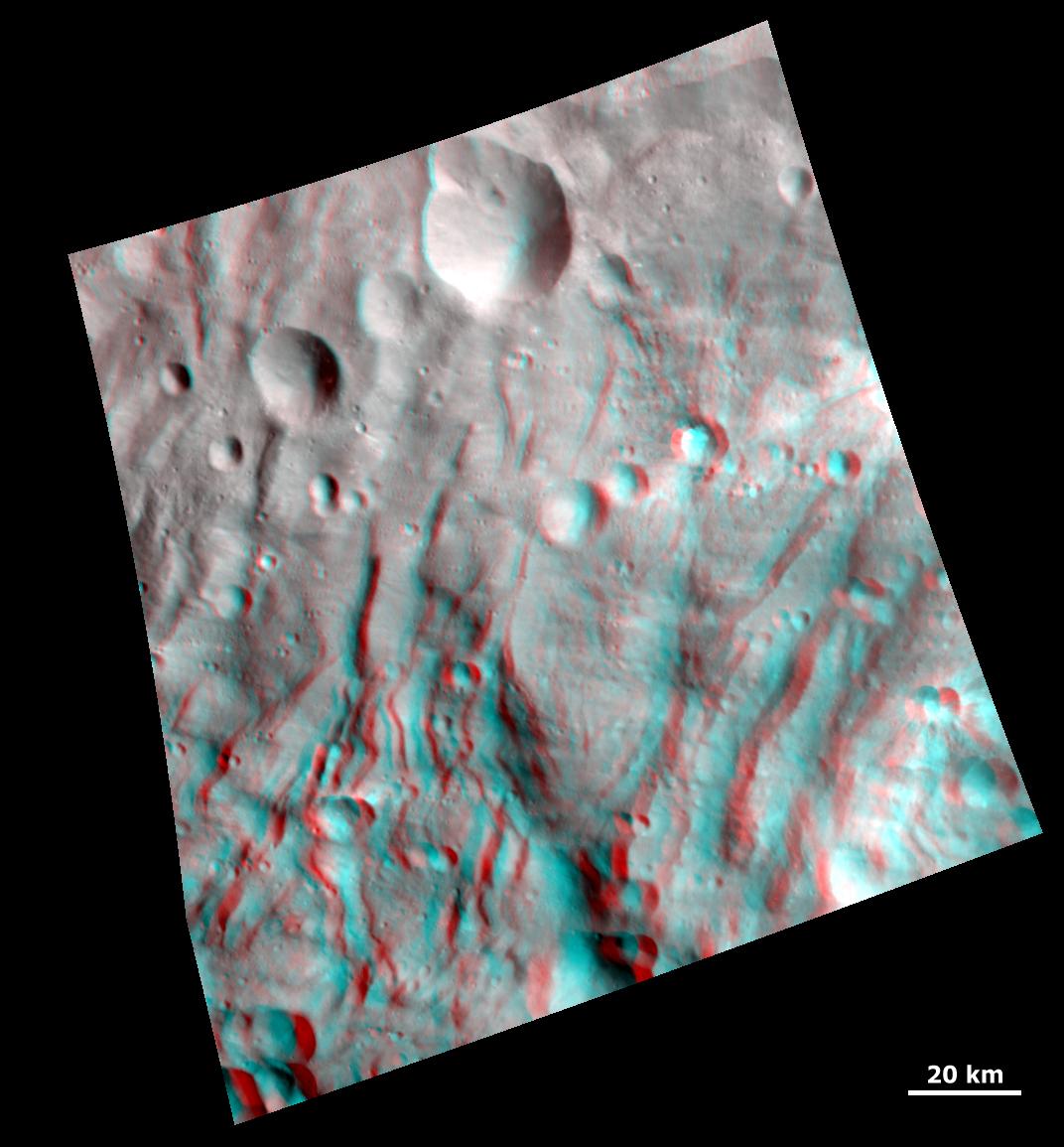
-
PIA14705:
-
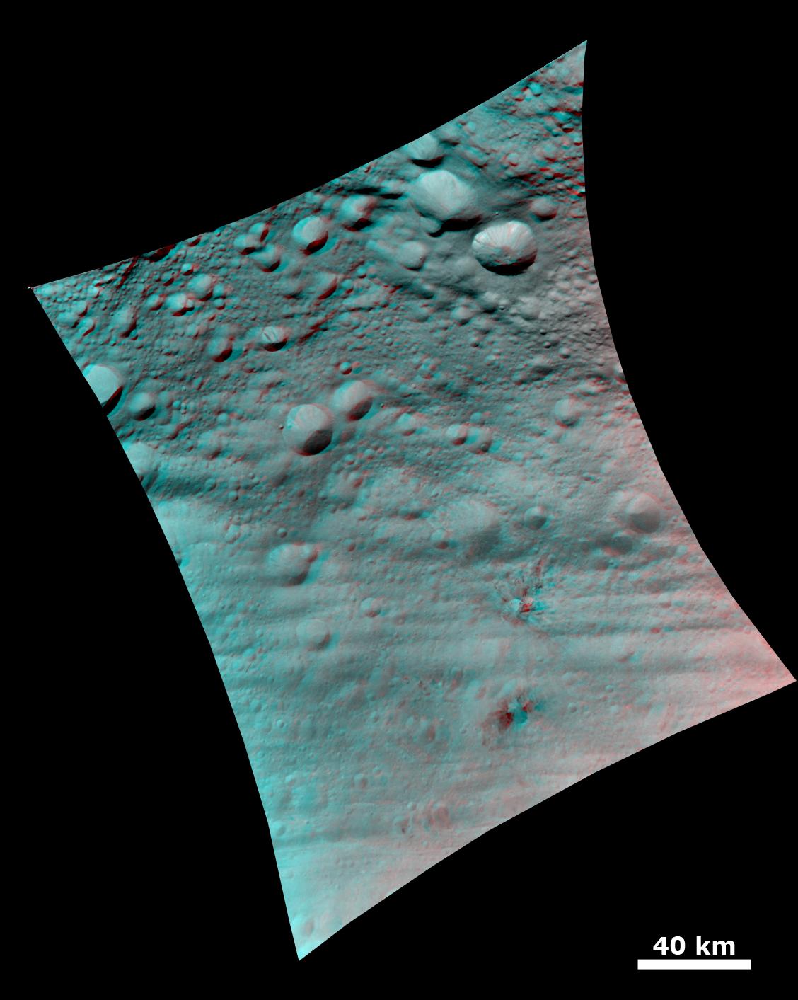
Vesta's Surface in 3-D: A Big Mountain at the Asteroid's South Pole
Full Resolution:
TIFF
(21.95 MB)
JPEG
(663.1 kB)
|
|
|
2011-09-16 |
Vesta
|
Dawn
|
Framing Camera
|
2810x2968x3 |
|
-
PIA14706:
-
Vesta's Surface in 3-D: Details of Wave-Like Terrain in the South Pole
Full Resolution:
TIFF
(25.02 MB)
JPEG
(505.5 kB)
|
|
|
2011-09-16 |
Vesta
|
Dawn
|
Framing Camera
|
2372x2360x3 |
|
-
PIA14707:
-
Vesta's Surface in 3-D: An Ancient, Cratered Surface
Full Resolution:
TIFF
(16.81 MB)
JPEG
(399.9 kB)
|
|
|
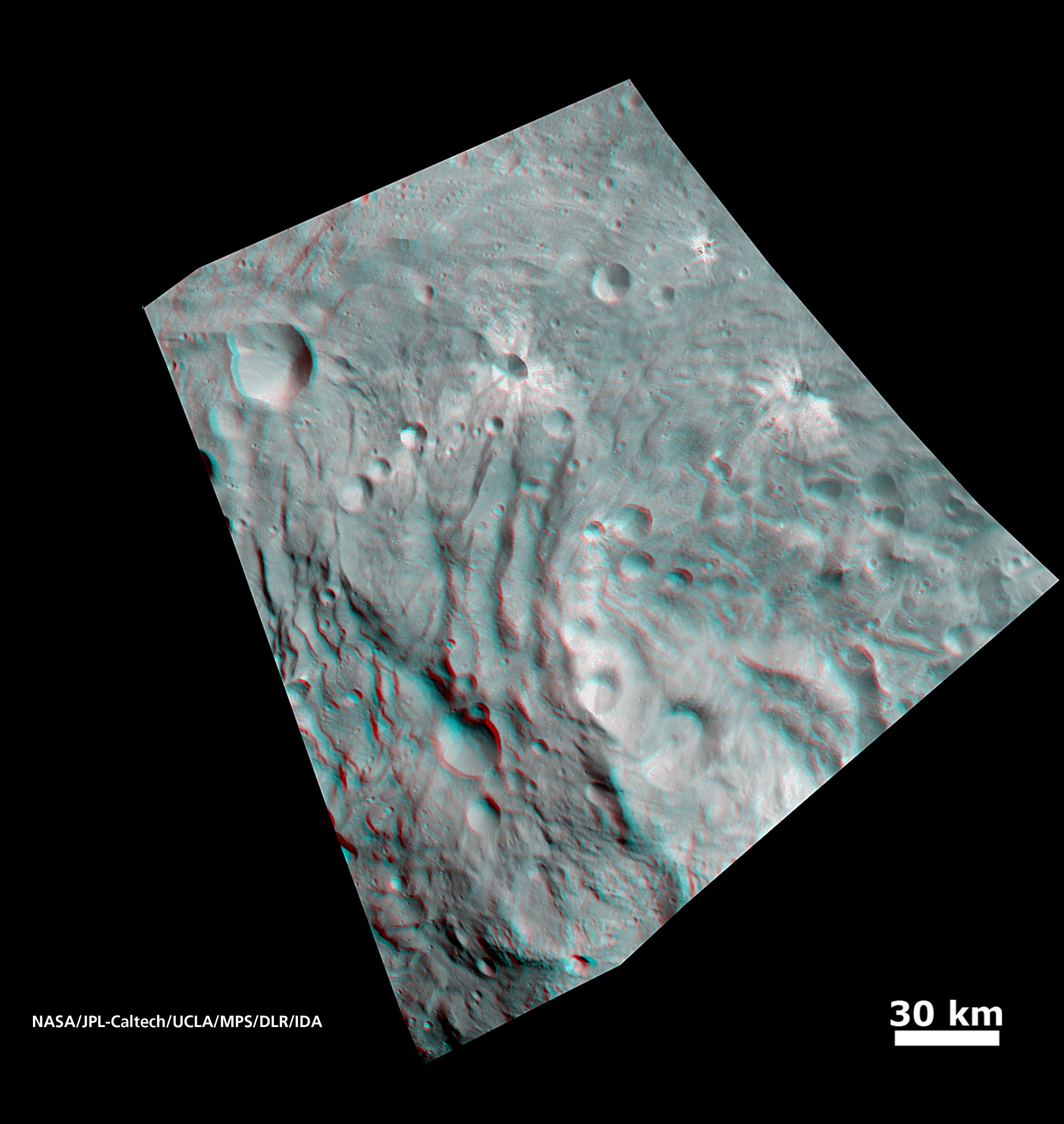
2011-09-27 |
Vesta
|
Dawn
|
Framing Camera
|
1072x1155x3 |
|
-
PIA14790:
-
3-D Image of Grooves and Wrinkles in the South Polar Region
Full Resolution:
TIFF
(3.719 MB)
JPEG
(111.4 kB)
|
|
|
2011-10-03 |
Vesta
|
Dawn
|
Framing Camera
|
1407x841x3 |
|
-
PIA14797:
-
Anaglyph Image of Vesta's Southeastern Latitudes
Full Resolution:
TIFF
(3.557 MB)
JPEG
(66.82 kB)
|
|
|
2011-10-04 |
Vesta
|
Dawn
|
Framing Camera
|
1808x1140x3 |

|
-
PIA14798:
-
Anaglyph Image of Vesta's Equatorial Region (I)
Full Resolution:
TIFF
(6.193 MB)
JPEG
(151.1 kB)
|
|
|
2011-10-05 |
Vesta
|
Dawn
|
Framing Camera
|
1066x668x3 |
|
-
PIA14825:
-
Anaglyph Image of Vesta's Equatorial Region (II)
Full Resolution:
TIFF
(2.139 MB)
JPEG
(64.7 kB)
|
|
|
2011-10-06 |
Vesta
|
Dawn
|
Framing Camera
|
2000x1500x3 |
|
-
PIA14826:
-
Anaglyph Image of Vesta's Southwestern Latitudes
Full Resolution:
TIFF
(9.012 MB)
JPEG
(148.7 kB)
|
|
|
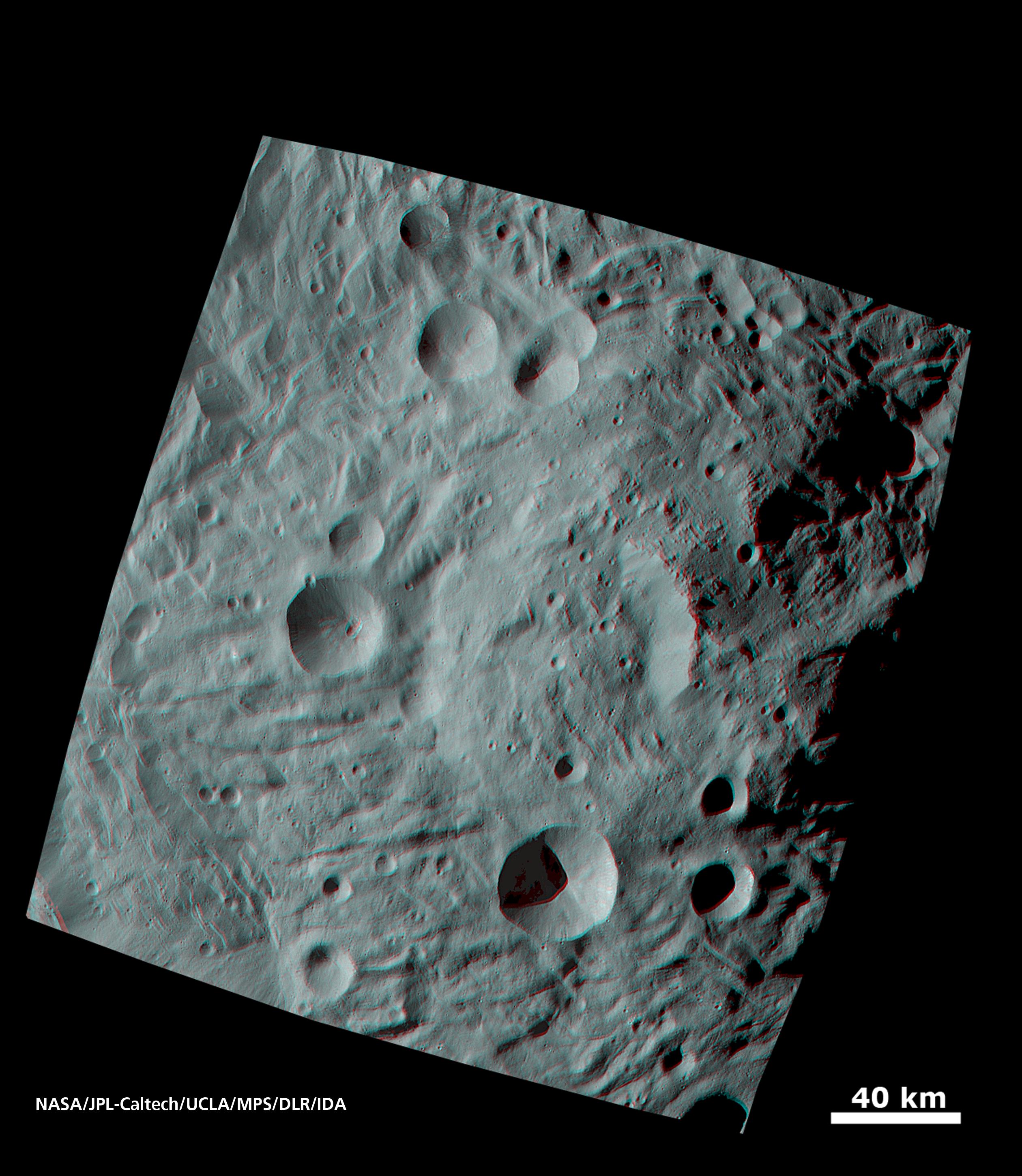
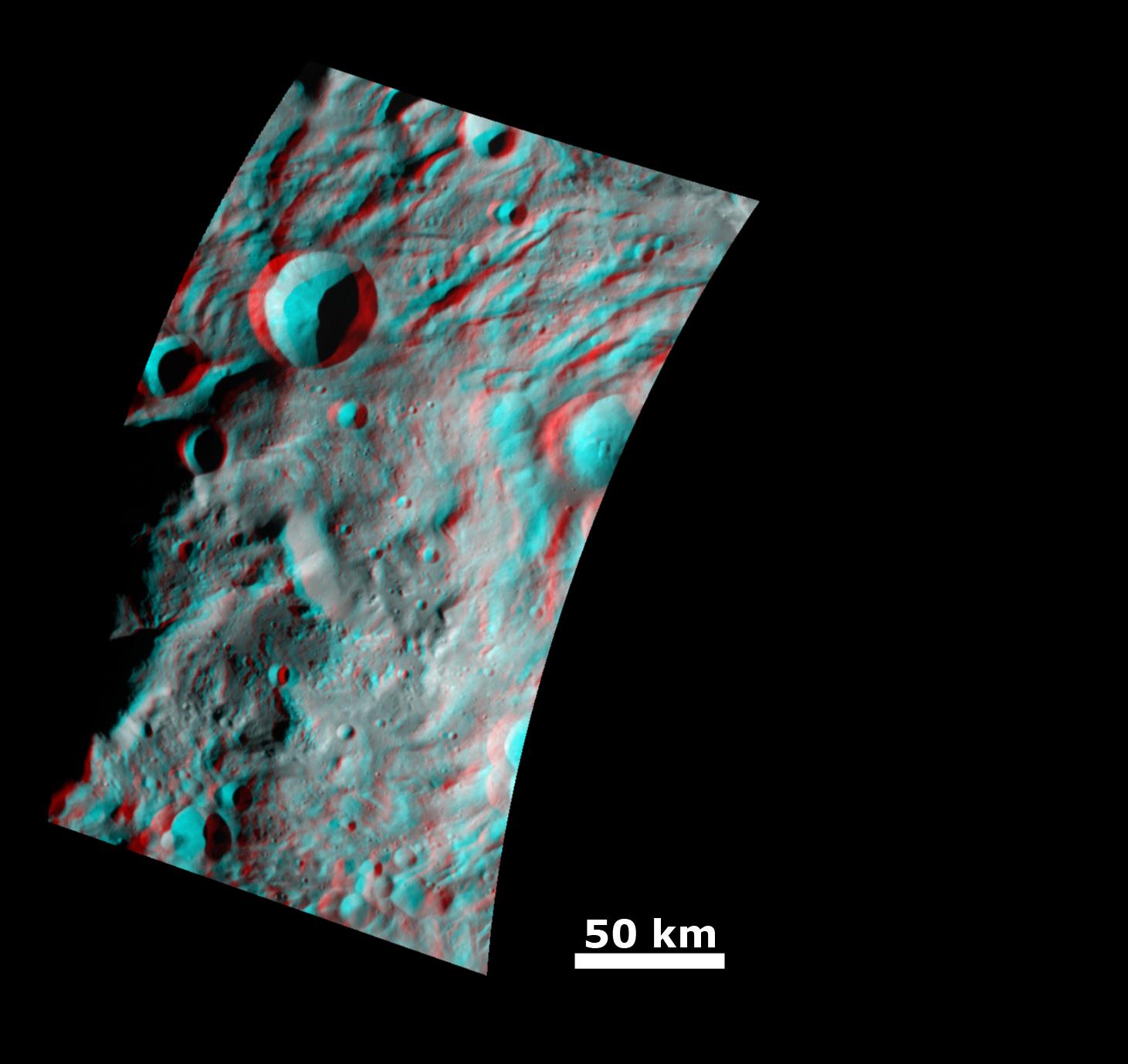
2011-10-07 |
Vesta
|
Dawn
|
Framing Camera
|
1344x1380x3 |
|
-
PIA14827:
-
Anaglyph Image of the Mountain/Central Complex in the South Polar Region
Full Resolution:
TIFF
(5.57 MB)
JPEG
(182.1 kB)
|
|
|
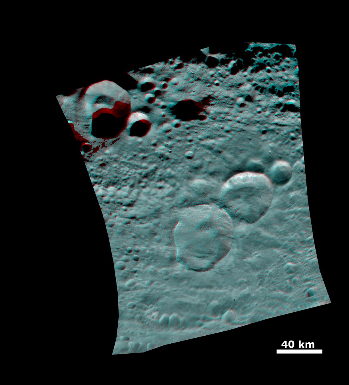
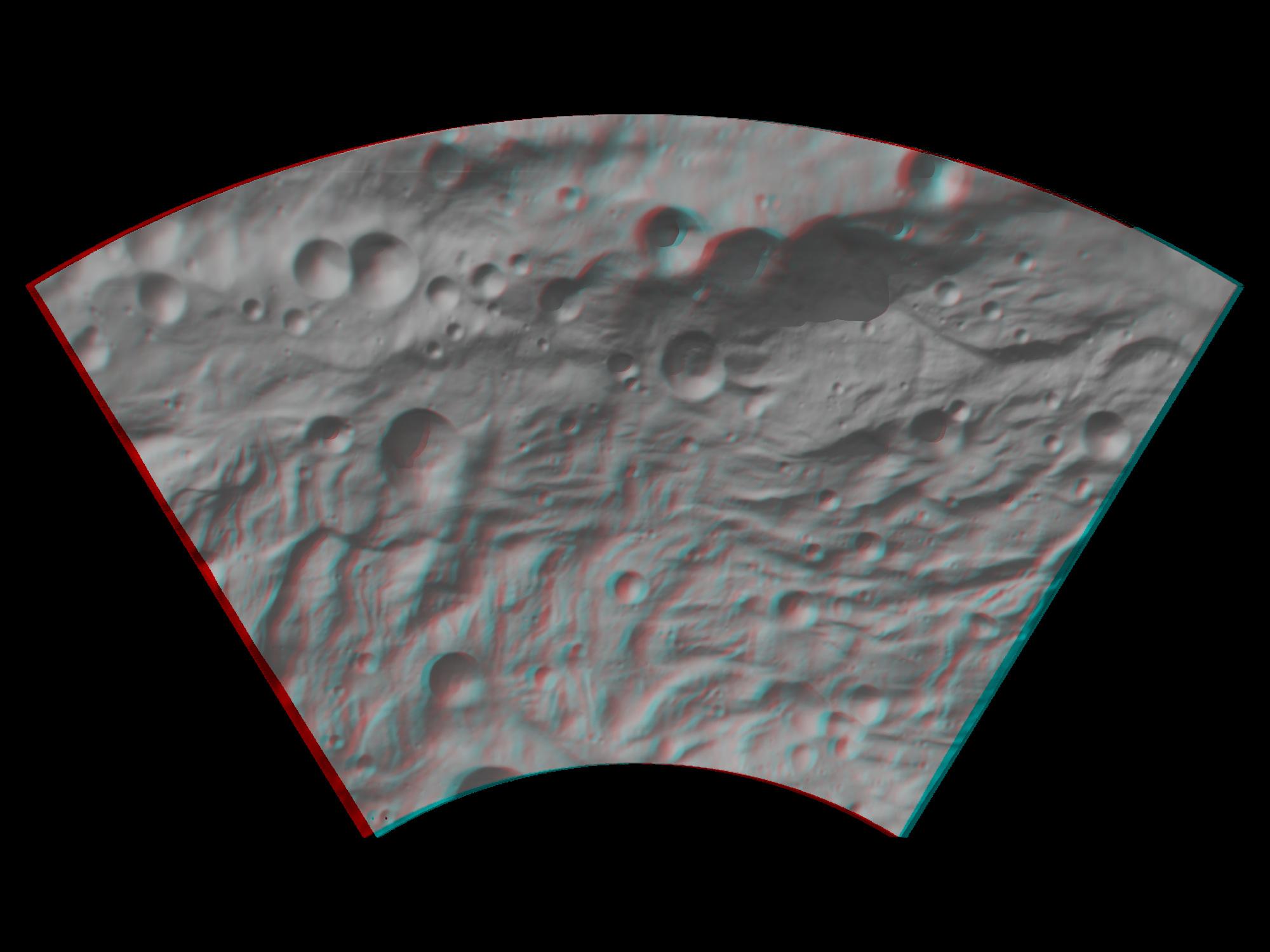
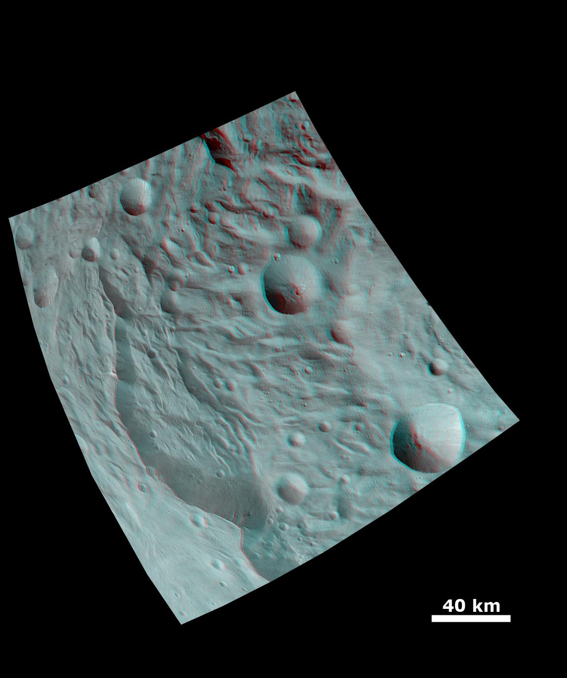
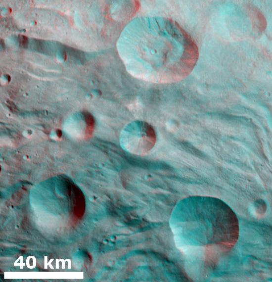
2011-10-10 |
Vesta
|
Dawn
|
Framing Camera
|
1150x1373x3 |
|
-
PIA14868:
-
Anaglyph Image of a Large Scarp in Vesta's South Polar Region
Full Resolution:
TIFF
(4.743 MB)
JPEG
(120.9 kB)
|
|
|
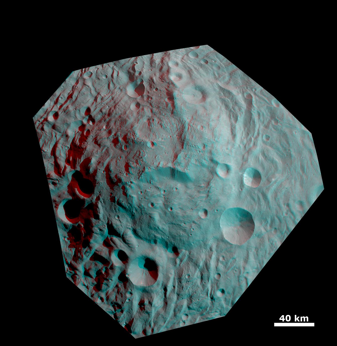
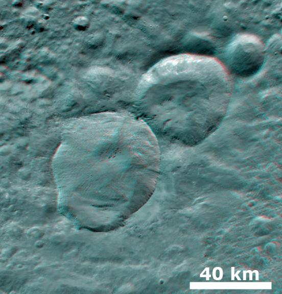
2011-10-31 |
Vesta
|
Dawn
|
Framing Camera
|
1461x1378x3 |
|
-
PIA14978:
-
Impact Crater and Mountain-central Complex in Vesta's South Polar Region (Anaglyph)
Full Resolution:
TIFF
(6.051 MB)
JPEG
(122.9 kB)
|
|
|
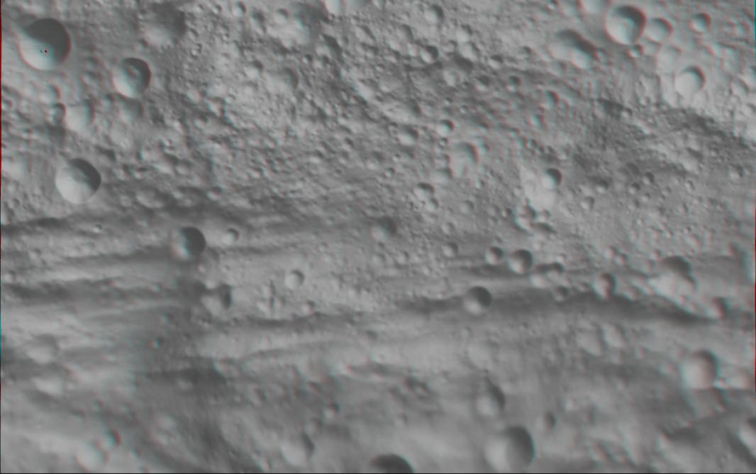
2012-01-23 |
Vesta
|
Dawn
|
Framing Camera
|
1920x1080x3 |
|
-
PIA15320:
-
3-D Image of Vesta's Eastern Hemisphere
Full Resolution:
TIFF
(6.23 MB)
JPEG
(112.4 kB)
|
|
|
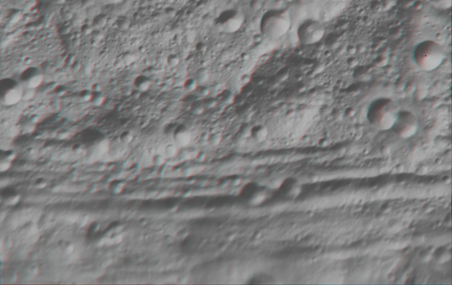
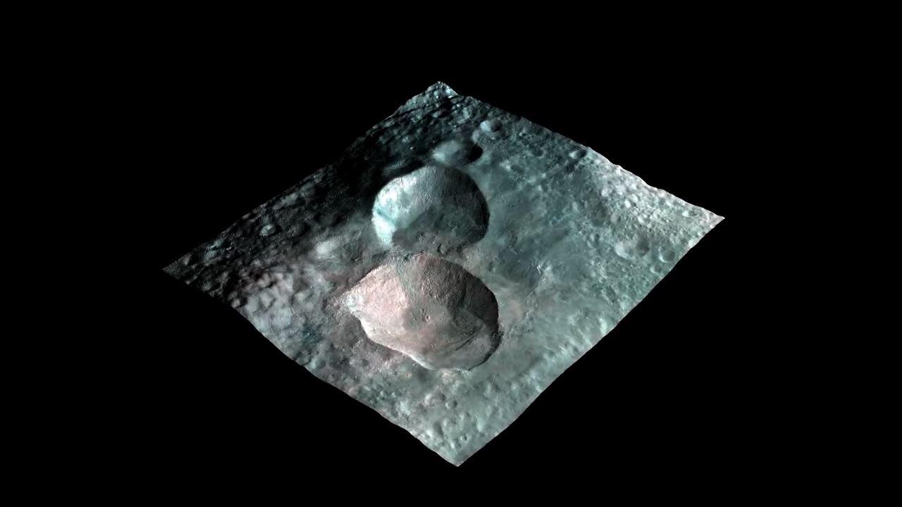
2012-01-24 |
Vesta
|
Dawn
|
Framing Camera
|
1920x1080x3 |
|
-
PIA15321:
-
3-D Image of Vesta's "Snowman" Craters
Full Resolution:
TIFF
(6.23 MB)
JPEG
(121.2 kB)
|
|
|
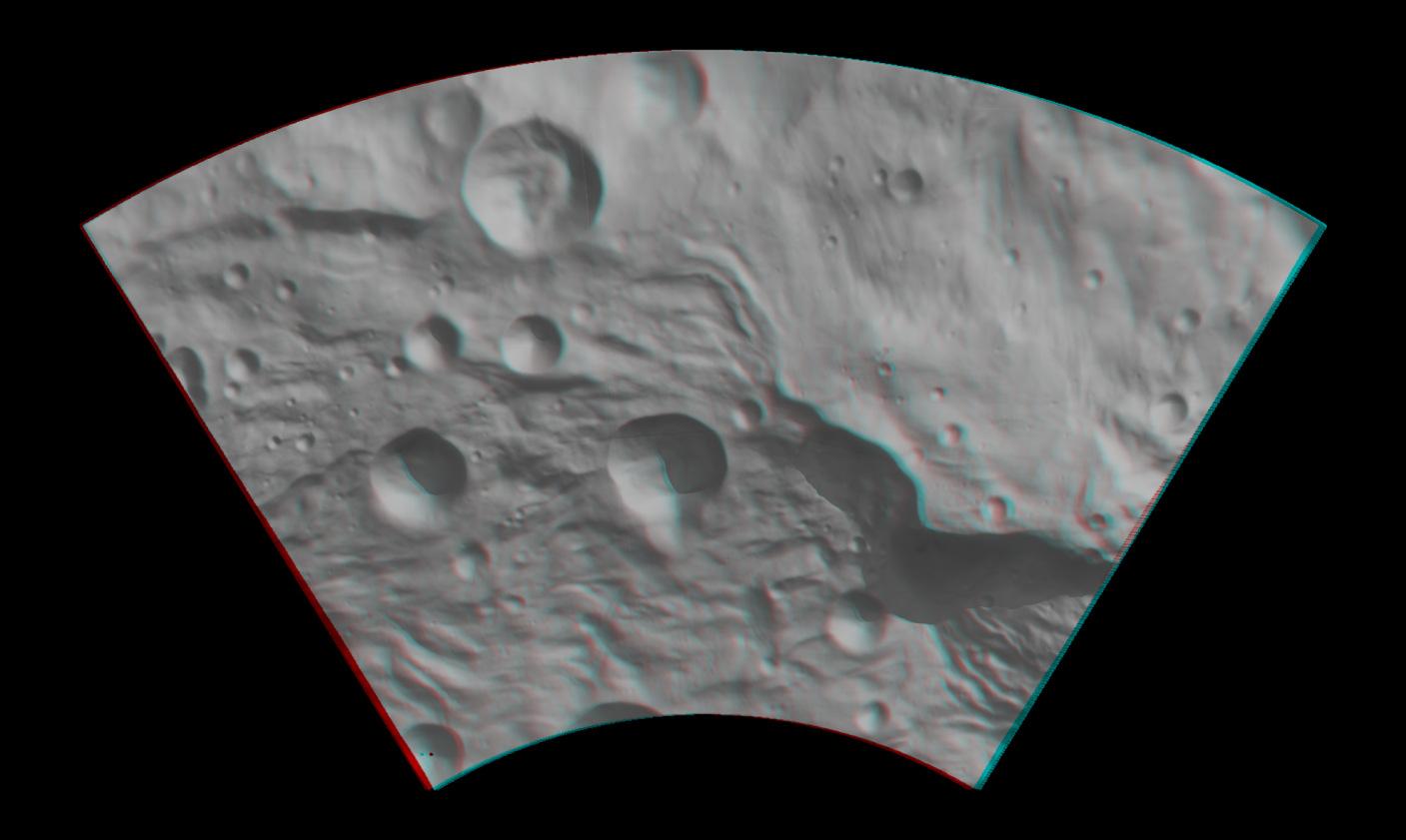
2012-01-25 |
Vesta
|
Dawn
|
Framing Camera
|
1920x1080x3 |
|
-
PIA15322:
-
3-D Image of the Central Complex in Vesta's Rheasilvia Impact Basin
Full Resolution:
TIFF
(6.23 MB)
JPEG
(101.3 kB)
|
|
|
2012-03-05 |
Vesta
|
Dawn
|
Framing Camera
|
634x419x3 |
|
-
PIA15407:
-
3-D Image of Caparronia
Full Resolution:
TIFF
(798 kB)
JPEG
(53.83 kB)
|
|
|
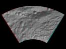
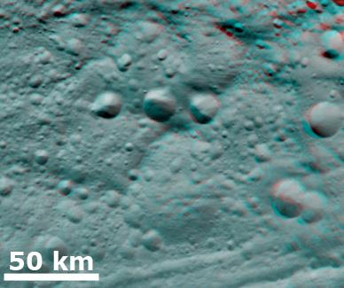
2012-03-06 |
Vesta
|
Dawn
|
Framing Camera
|
388x325x3 |
|
-
PIA15451:
-
3-D Image of Degraded Craters
Full Resolution:
TIFF
(378.9 kB)
JPEG
(23.37 kB)
|
|
|
2012-03-07 |
Vesta
|
Dawn
|
Framing Camera
|
550x570x3 |
|
-
PIA15452:
-
3-D Image of Partially Degraded Craters
Full Resolution:
TIFF
(941.9 kB)
JPEG
(43.64 kB)
|
|
|
2012-03-08 |
Vesta
|
Dawn
|
Framing Camera
|
552x576x3 |

|
-
PIA15453:
-
3-D Image of Fresh Craters
Full Resolution:
TIFF
(955.2 kB)
JPEG
(49.22 kB)
|
|
|
2012-05-10 |
Vesta
|
Dawn
|
Framing Camera
|
1280x720x3 |
|
-
PIA15662:
-
Views of the Snowman
Full Resolution:
TIFF
(2.768 MB)
JPEG
(56.52 kB)
|
|
|
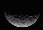
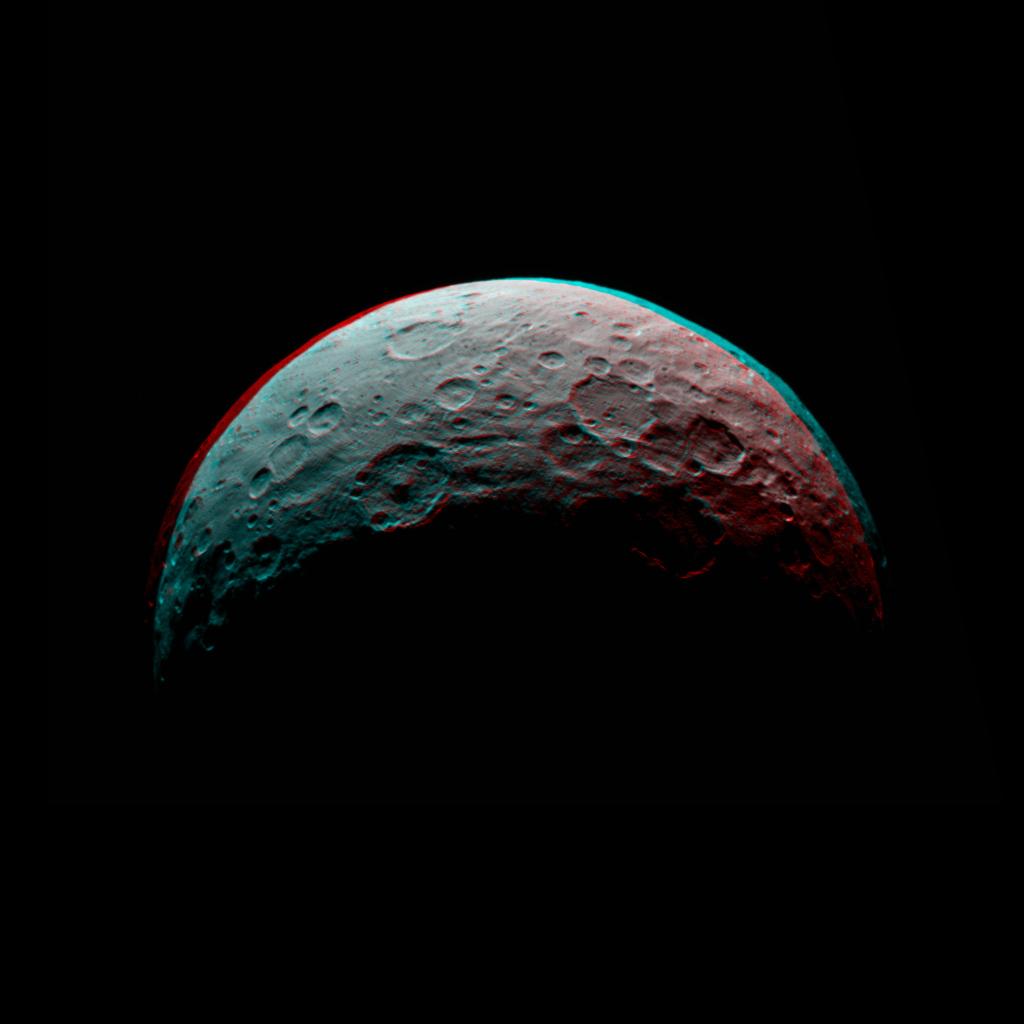
2015-04-29 |
Ceres
|
Dawn
|
Framing Camera
|
866x616x1 |
|
-
PIA19319:
-
Dawn RC3 Image 1
Full Resolution:
TIFF
(534.2 kB)
JPEG
(35.34 kB)
|
|
|
2015-04-29 |
Ceres
|
Dawn
|
Framing Camera
|
1024x1024x3 |

|
-
PIA19320:
-
Dawn RC3 Image 1 Anaglyph
Full Resolution:
TIFF
(3.147 MB)
JPEG
(44.53 kB)
|
|
|
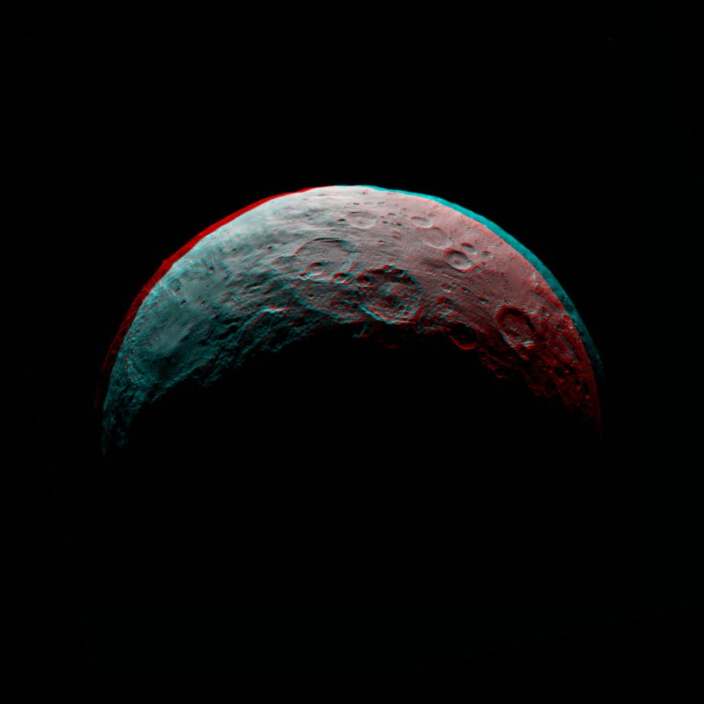
2015-05-05 |
Ceres
|
Dawn
|
Framing Camera
|
1024x1024x3 |

|
-
PIA19537:
-
Dawn RC3 Image 5 Anaglyph
Full Resolution:
TIFF
(3.147 MB)
JPEG
(44.16 kB)
|
|
|
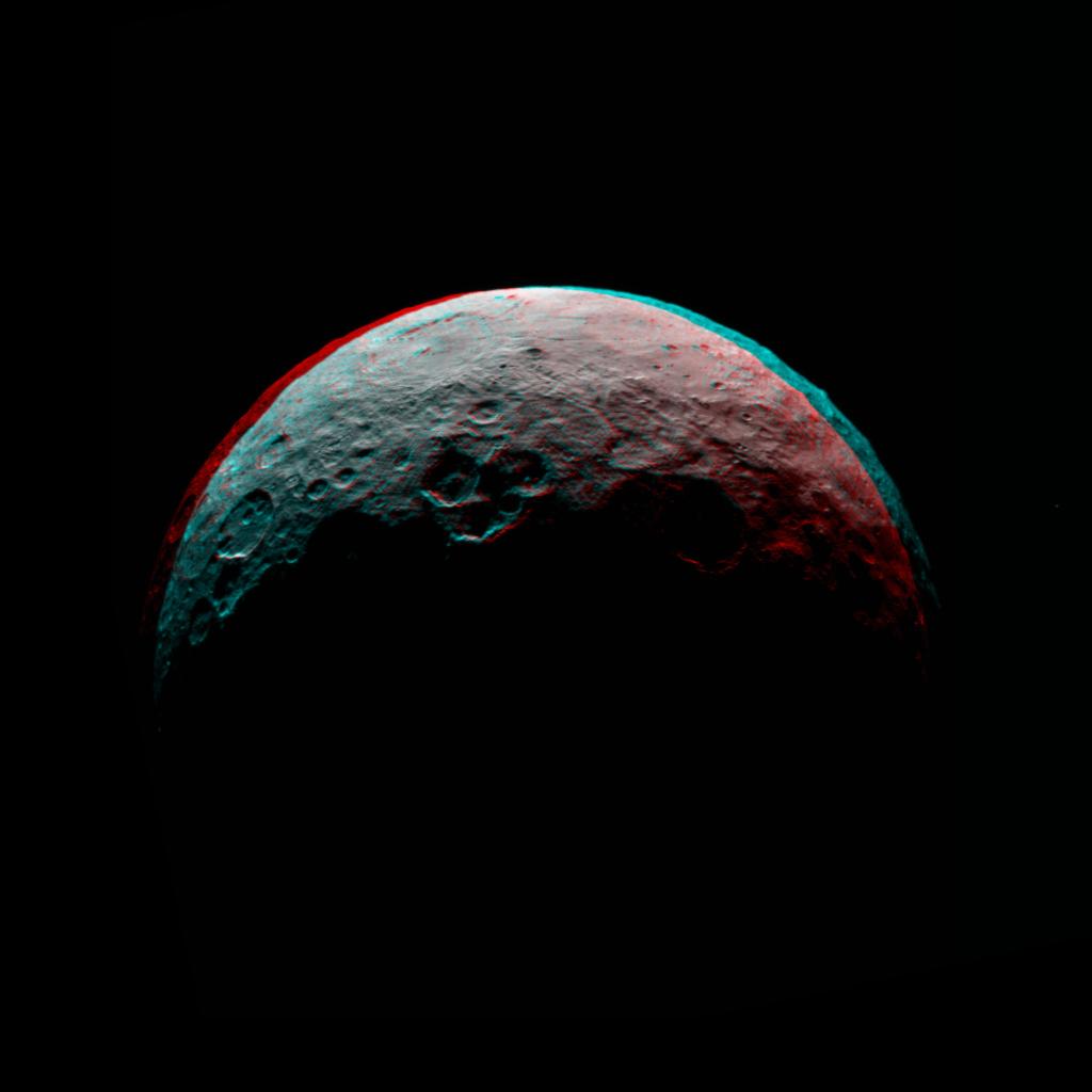
2015-05-06 |
Ceres
|
Dawn
|
Framing Camera
|
1024x1024x3 |

|
-
PIA19539:
-
Dawn RC3 Image 6 Anaglyph
Full Resolution:
TIFF
(3.147 MB)
JPEG
(42.74 kB)
|
|
|
2015-05-07 |
Ceres
|
Dawn
|
Framing Camera
|
1024x1024x3 |

|
-
PIA19541:
-
Dawn RC3 Image 7 Anaglyph
Full Resolution:
TIFF
(3.147 MB)
JPEG
(42.07 kB)
|
|
|
2015-12-22 |
Ceres
|
Dawn
|
Framing Camera
|
1024x1024x1 |

|
-
PIA20186:
-
Dawn LAMO View Around Gerber Catena, Ceres
Full Resolution:
TIFF
(848.8 kB)
JPEG
(136.4 kB)
|
|
|
2015-12-22 |
Ceres
|
Dawn
|
Framing Camera
|
1024x1024x1 |
|
-
PIA20187:
-
Dawn's LAMO View of Ceres
Full Resolution:
TIFF
(728 kB)
JPEG
(131.8 kB)
|
|
|
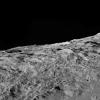
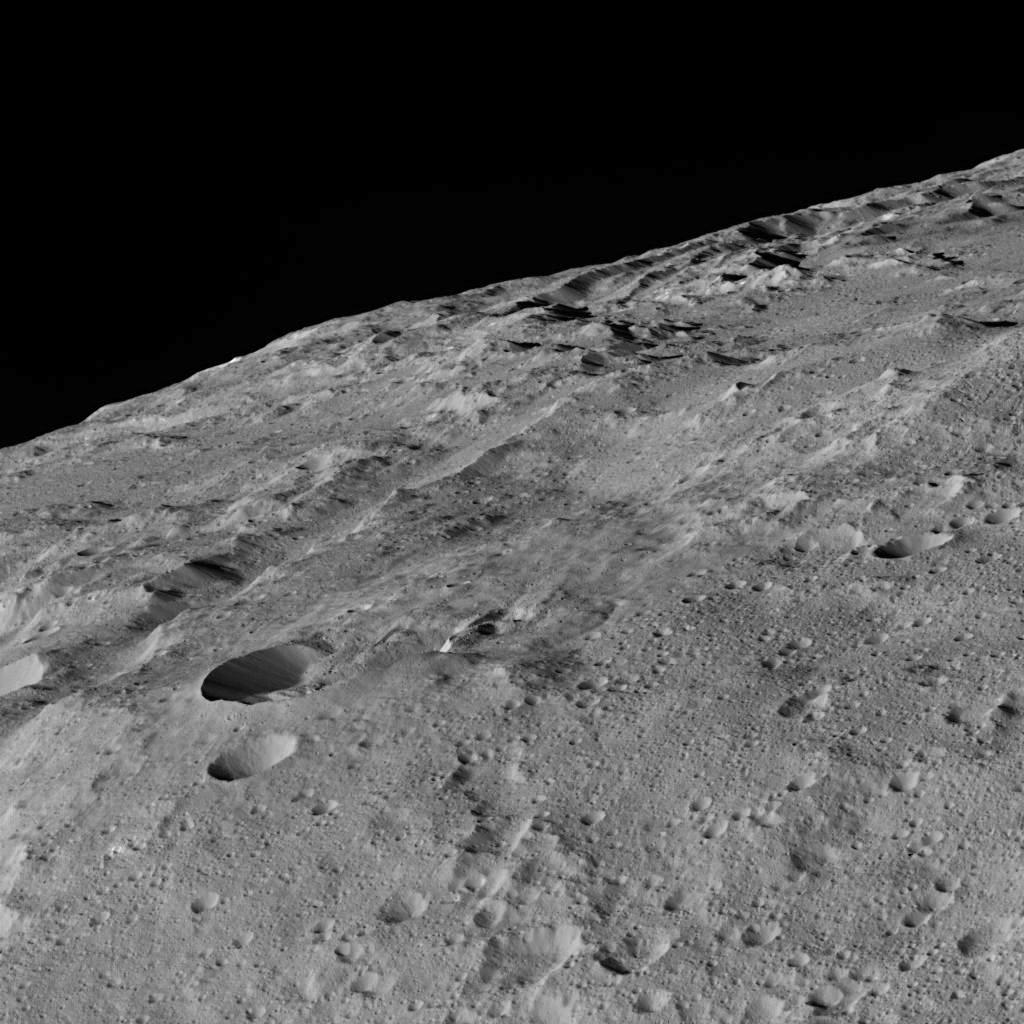
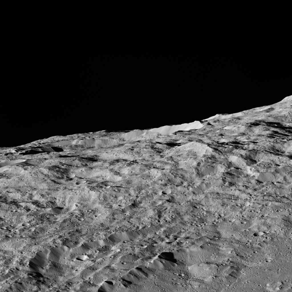
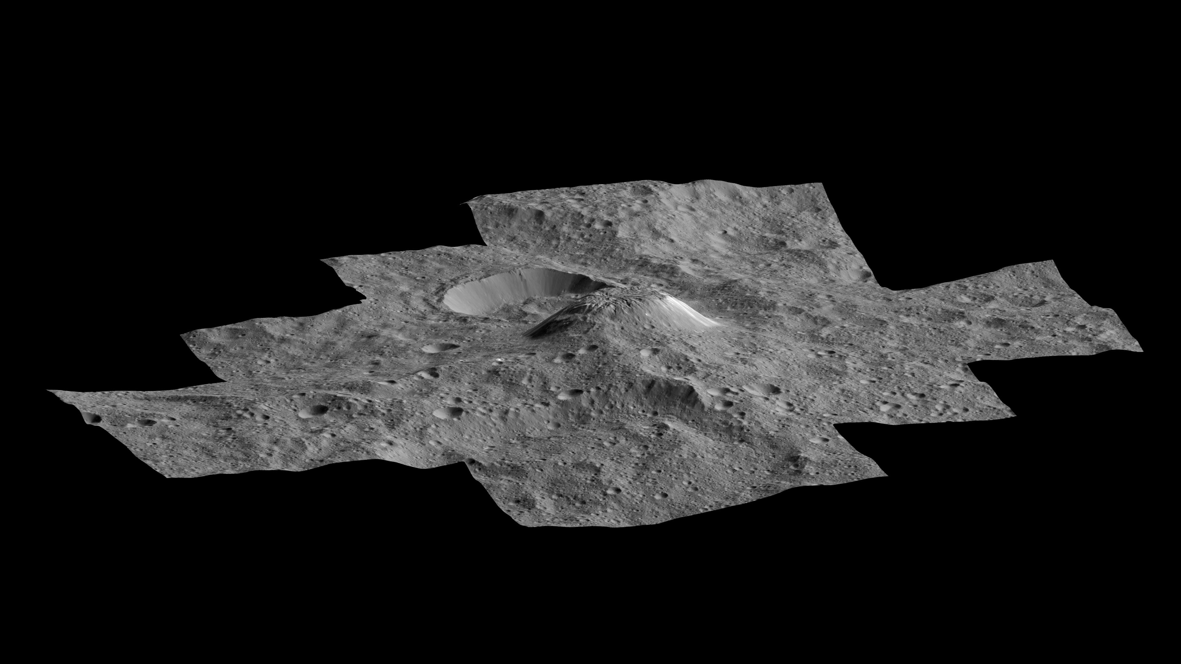
2016-03-07 |
Ceres
|
Dawn
|
Framing Camera
|
3840x2160x1 |

|
-
PIA20349:
-
Ahuna Mons Perspective View
Full Resolution:
TIFF
(2.548 MB)
JPEG
(482.1 kB)
|
|
|
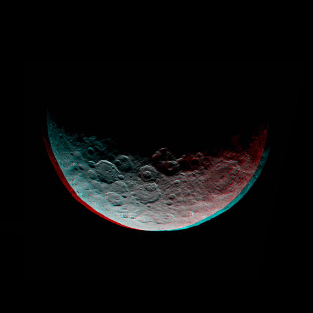
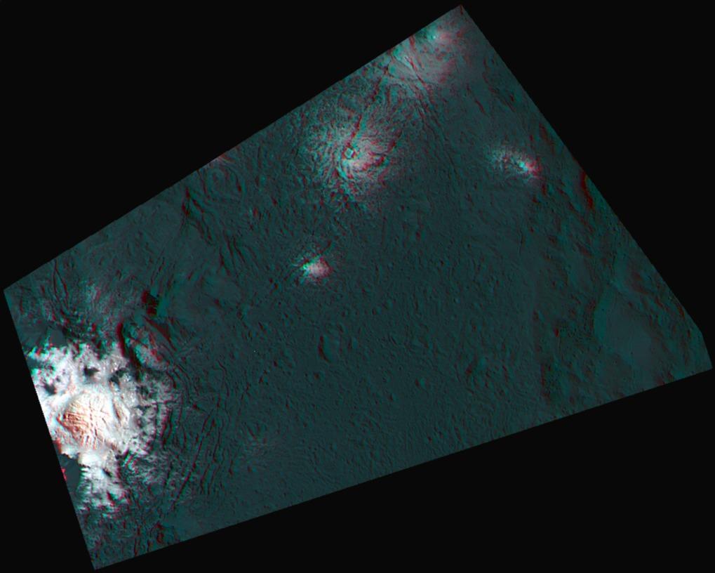
2017-03-09 |
Ceres
|
Dawn
|
Framing Camera
|
1019x816x3 |
|
-
PIA21398:
-
Occator's Bright Spots in 3-D
Full Resolution:
TIFF
(1.468 MB)
JPEG
(66.08 kB)
|
|
|
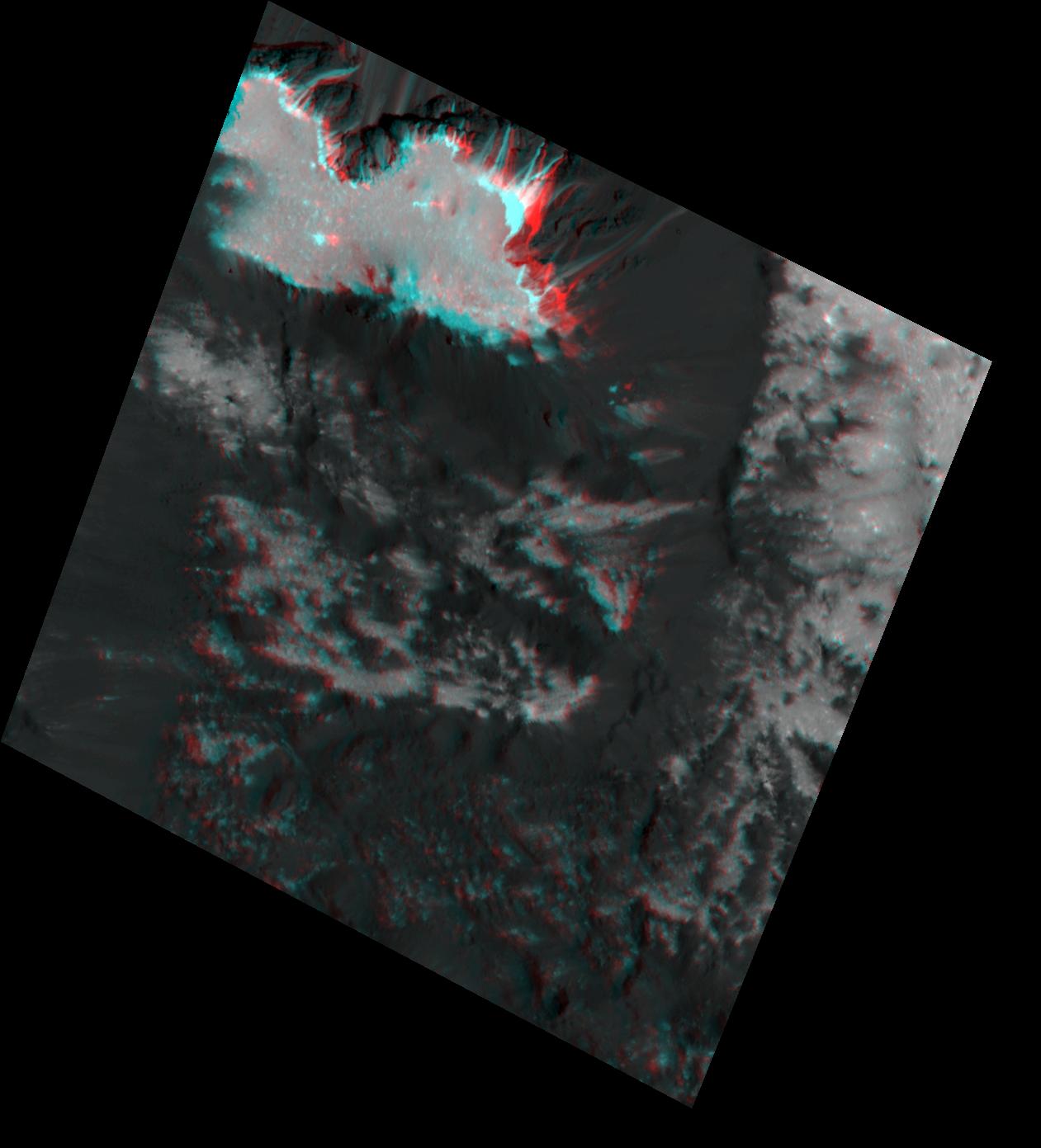
2018-11-15 |
Ceres
|
Dawn
|
Framing Camera
|
1261x1391x3 |
|
-
PIA22862:
-
Occator's "Mesa" in 3-D
Full Resolution:
TIFF
(1.947 MB)
JPEG
(108.9 kB)
|
|
|
2018-11-15 |
Ceres
|
Dawn
|
Framing Camera
|
1308x1493x3 |
|
-
PIA22864:
-
Cracks in the Floor of Occator Crater (3-D)
Full Resolution:
TIFF
(2.522 MB)
JPEG
(152.7 kB)
|
 Planetary Data System


