|
Your search criteria found 2279 images Target is Earth |
| My List |
Addition Date | Target | Mission |
Instrument
|
Size |

|
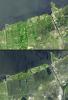
2017-12-08 | Earth |
Earth Observing System (EOS) |
AVIRIS |
2933x1520x3 |
|
|||||
|
|
2017-12-15 | Earth |
Earth Observing System (EOS) |
AVIRIS |
2999x2249x3 |
|
|||||
|
|
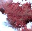
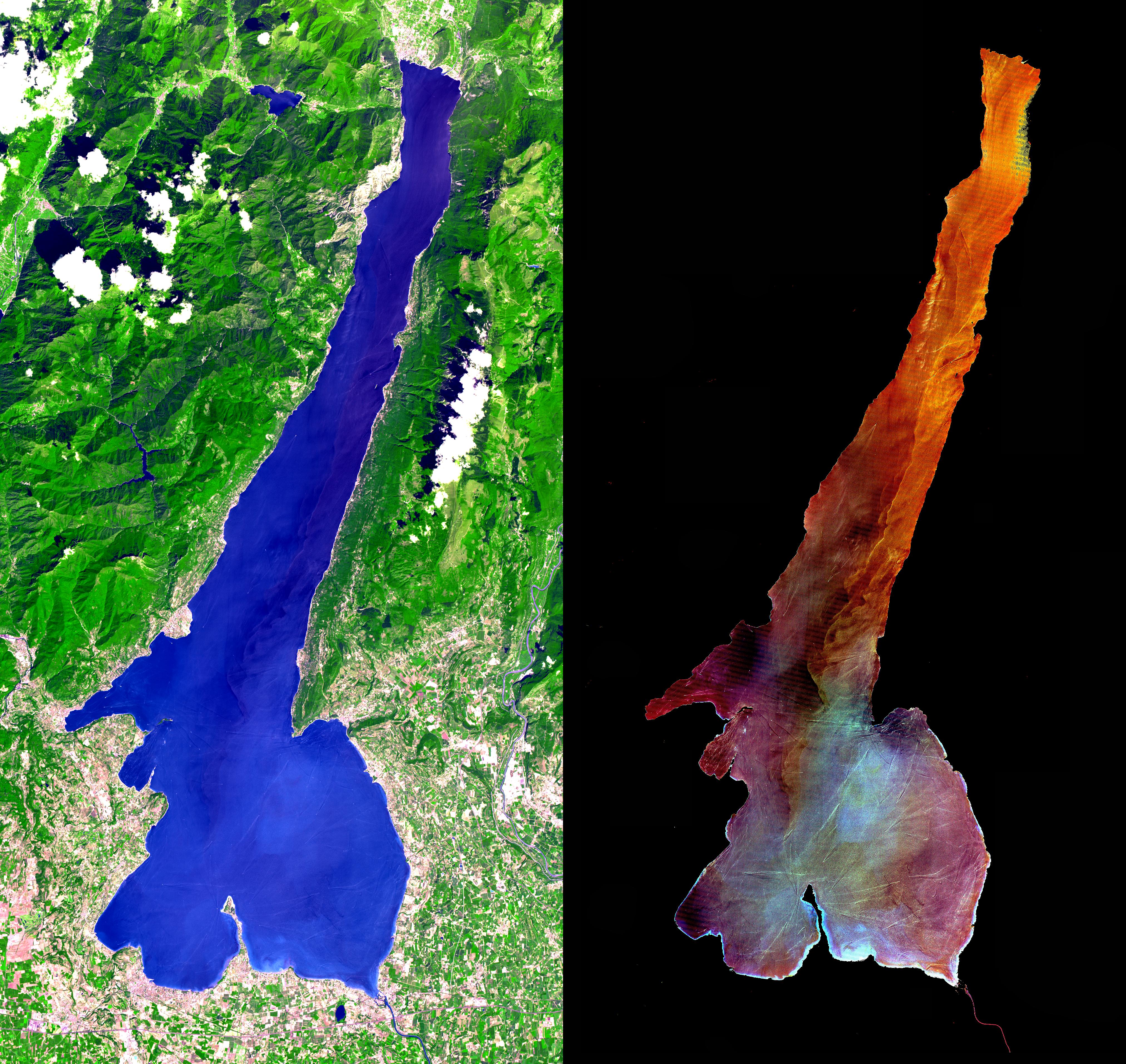
2004-06-25 | Earth |
Envisat |
Advanced Synthetic Aperture Radar (ASAR) |
710x609x3 |
|
|||||
|
|
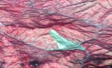
2011-04-01 | Earth |
Envisat |
Advanced Synthetic Aperture Radar |
1015x1284x3 |
|
|||||
|
|
2011-04-01 | Earth |
Advanced Synthetic Aperture Radar |
2768x7680x3 | |
|
|
|||||
|
|
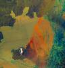
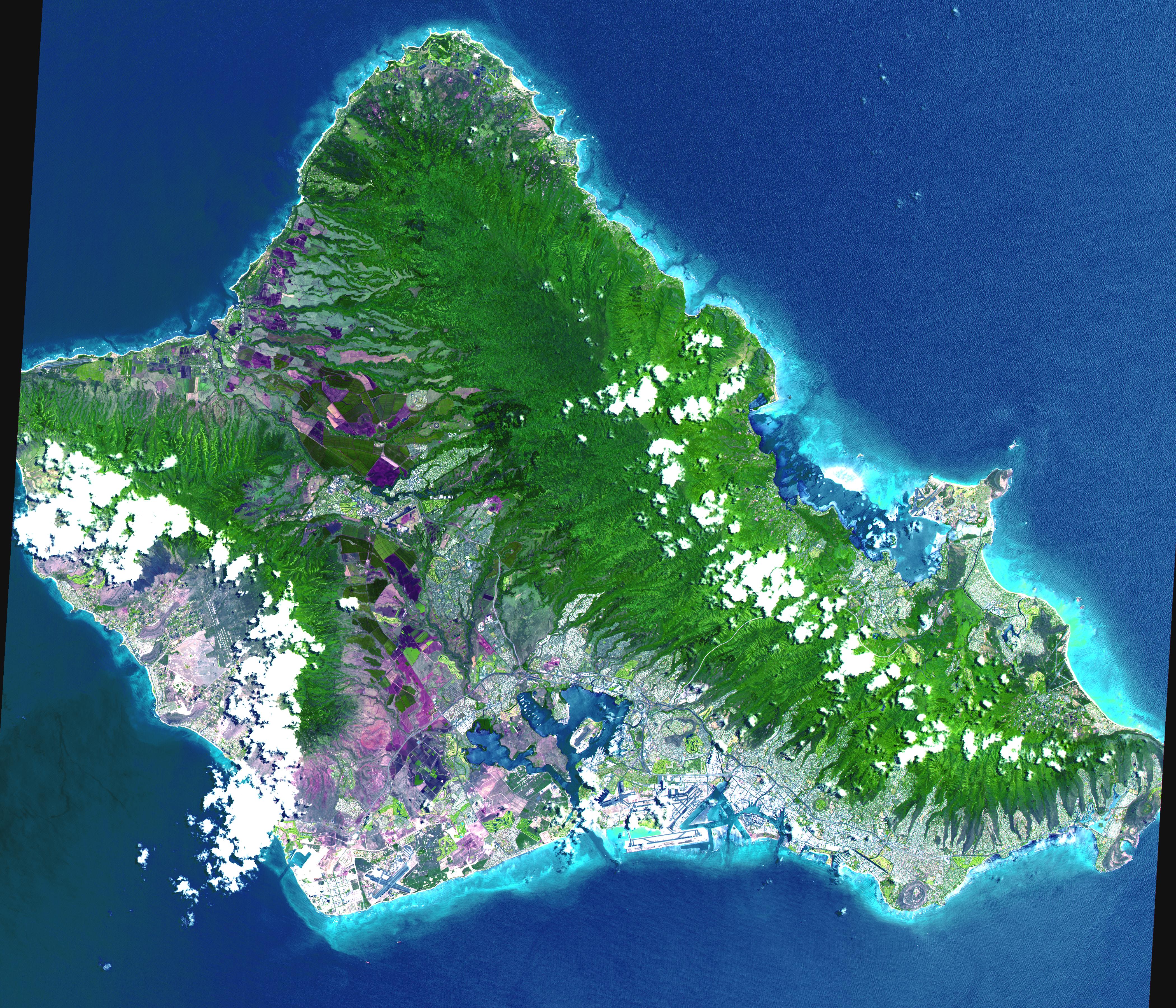
2018-09-14 | Earth |
Terra |
ASTER MODIS |
804x1627x3 |
|
|
|||||
|
|
2012-10-01 | Earth |
Terra |
ASTER InSAR |
1024x575x3 |
|
|||||
|
|
2005-01-14 | Earth |
Shuttle Radar Topography Mission (SRTM) Terra |
ASTER SIR-C/X-SAR |
1987x1840x3 |
|
|||||
|
|
2002-11-01 | Earth |
Shuttle Radar Topography Mission (SRTM) Terra |
ASTER C-Band Interferometric Radar |
1152x870x3 |

|
|||||
|
|
2002-11-01 | Earth |
Shuttle Radar Topography Mission (SRTM) Terra |
ASTER C-Band Interferometric Radar |
1152x870x3 |
|
|||||
|
|
2000-08-10 | Earth |
Shuttle Radar Topography Mission (SRTM) Terra |
ASTER C-Band Interferometric Radar |
1866x605x3 |

|
|||||
|
|
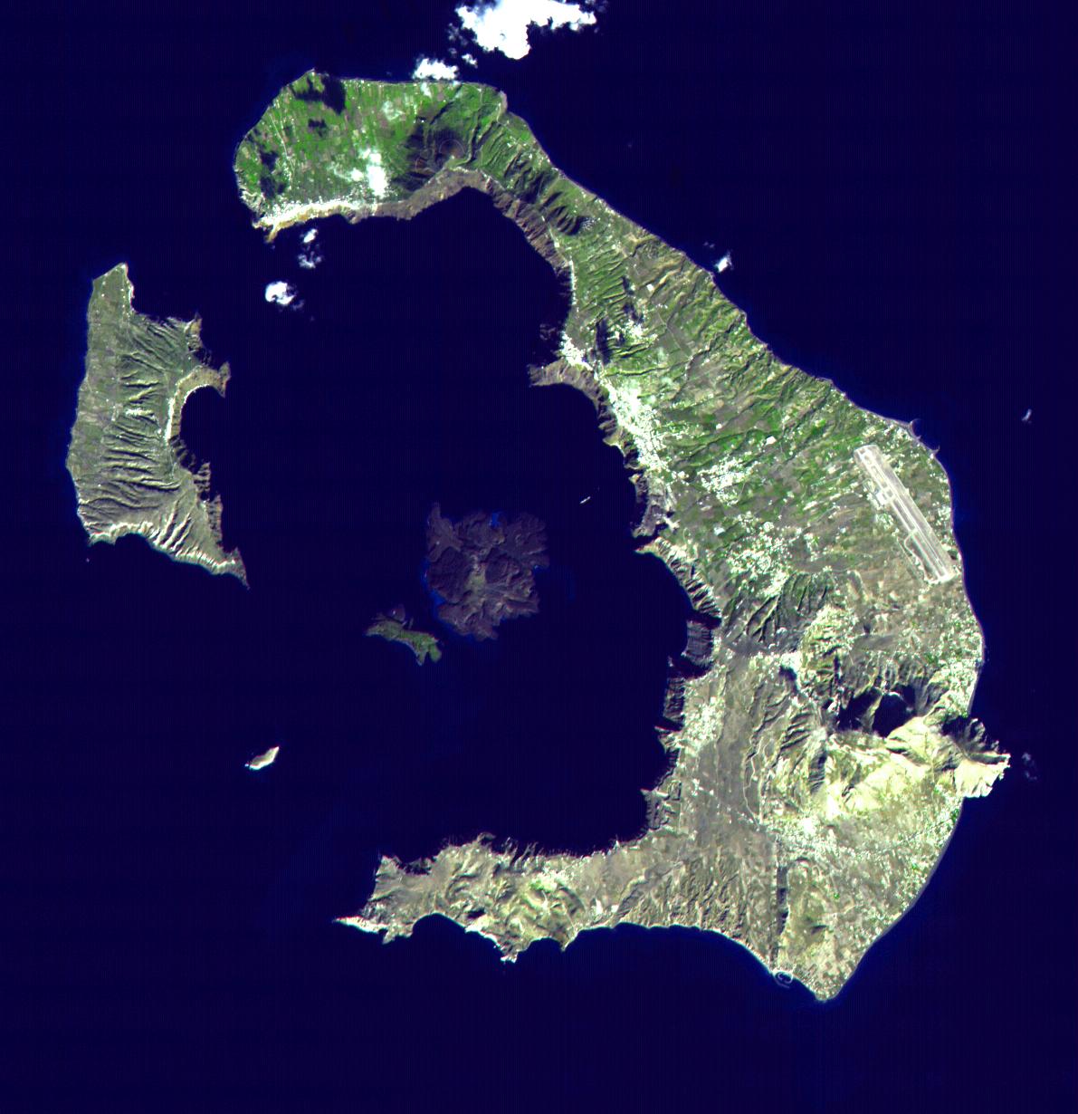
2015-02-19 | Earth |
Terra |
ASTER |
3300x2000x3 |
|
|||||
|
|
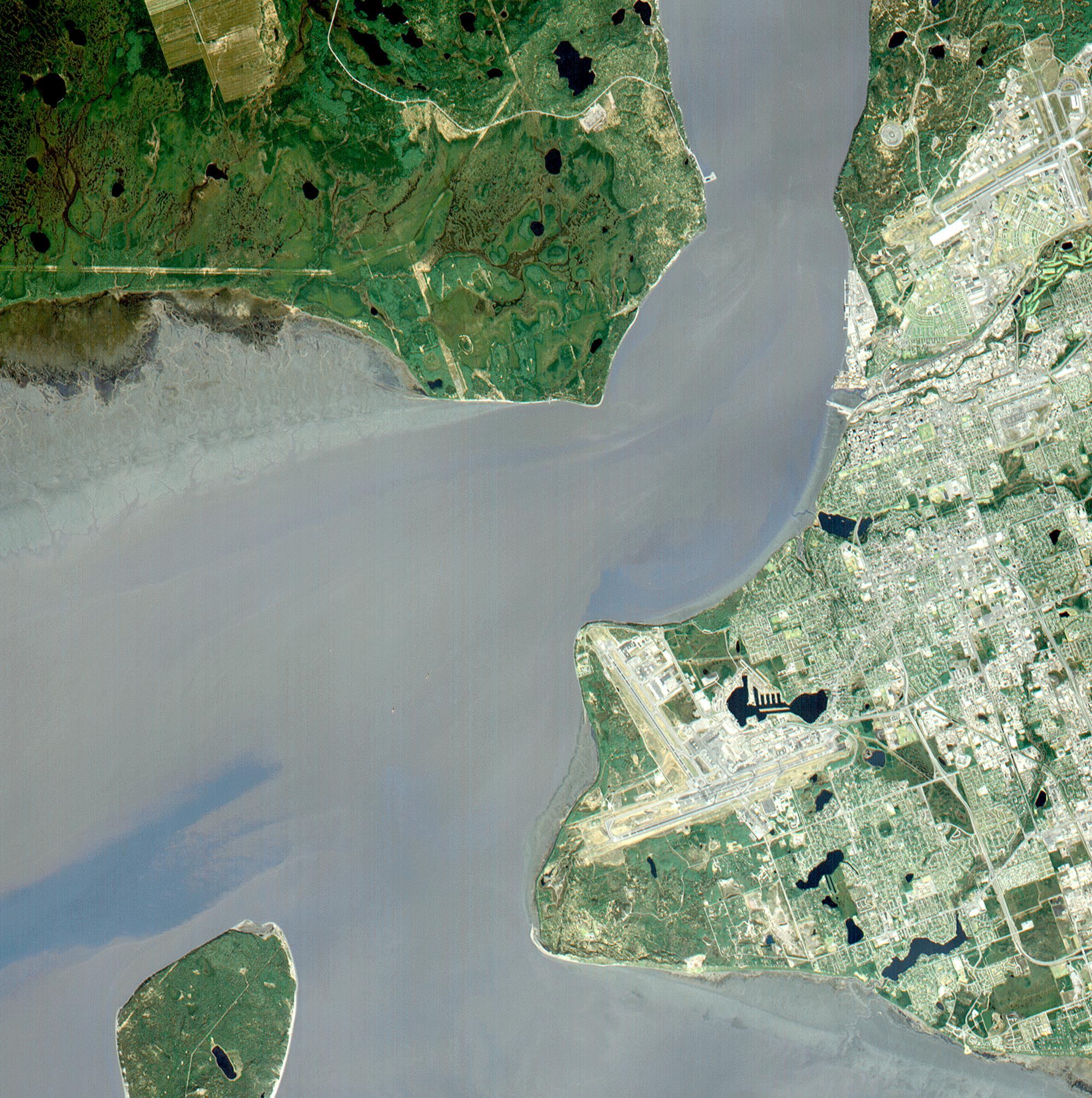
2002-10-29 | Earth |
Terra |
ASTER |
1400x1100x3 |
|
|||||
|
|
2000-03-11 | Earth |
Terra |
ASTER |
2263x2027x1 |
|
|||||
|
|
2000-03-11 | Earth |
Terra |
ASTER |
2160x2251x1 |
|
|||||
|
|
2000-03-11 | Earth |
Terra |
ASTER |
2288x2288x3 |
|
|||||
|
|
2011-11-10 | Earth |
Terra |
ASTER |
4032x7962x3 |

|
|||||
|
|
2000-04-26 | Earth |
Terra |
ASTER |
2100x1445x3 |
|
|||||
|
|
2000-04-26 | Earth |
Terra |
ASTER |
4100x4980x3 |
|
|||||
|
|
2000-04-26 | Earth |
Terra |
ASTER |
4100x5400x3 |
|
|||||
|
|
2000-04-26 | Earth |
Terra |
ASTER |
4100x6177x3 |
|
|||||
|
|
2000-04-26 | Earth |
Terra |
ASTER |
1174x1447x3 |
|
|||||
|
|
2000-10-06 | Earth |
Terra |
ASTER |
4980x4200x3 |
|
|||||
|
|
2000-10-06 | Earth |
Terra |
ASTER |
930x911x3 |
|
|||||
|
|
2000-10-06 | Earth |
Terra |
ASTER |
2470x1828x3 |
|
|||||
|
|
2000-10-06 | Earth |
Terra |
ASTER |
2280x3887x3 |

|
|||||
|
|
2000-10-06 | Earth |
Terra |
ASTER |
2645x1050x3 |

|
|||||
|
|
2000-10-06 | Earth |
Terra |
ASTER |
1595x1925x3 |
|
|||||
|
|
2000-10-06 | Earth |
Terra |
ASTER |
1528x1322x3 |
|
|||||
|
|
2000-10-06 | Earth |
Terra |
ASTER |
2412x4065x3 |
|
|||||
|
|
2000-10-06 | Earth |
Terra |
ASTER |
1211x911x3 |

|
|||||
|
|
2001-07-21 | Earth |
Terra |
ASTER |
1228x709x3 |
|
|||||
|
|
2001-07-21 | Earth |
Terra |
ASTER |
1282x1603x3 |

|
|||||
|
|
2001-07-21 | Earth |
Terra |
ASTER |
4368x4140x3 |
|
|||||
|
|
2000-10-20 | Earth |
Terra |
ASTER |
2138x2738x3 |
|
|||||
|
|
2001-07-21 | Earth |
Terra |
ASTER |
2000x1500x3 |

|
|||||
|
|
2001-07-21 | Earth |
Terra |
ASTER |
800x800x3 |
|
|||||
|
|
2001-07-21 | Earth |
Terra |
ASTER |
2412x1925x3 |
|
|||||
|
|
2001-07-21 | Earth |
Terra |
ASTER |
4048x3824x3 |
|
|||||
|
|
2001-07-21 | Earth |
Terra |
ASTER |
4200x3600x3 |
|
|||||
|
|
2001-07-21 | Earth |
Terra |
ASTER |
1191x1230x3 |
|
|||||
|
|
2001-07-21 | Earth |
Terra |
ASTER |
516x946x3 |

|
|||||
|
|
2001-07-26 | Earth |
Terra |
ASTER |
2000x2011x3 |
|
|||||
|
|
2001-08-01 | Earth |
Terra |
ASTER |
2000x2400x3 |
|
|||||
|
|
2001-08-03 | Earth |
Terra |
ASTER |
1600x2000x3 |
|
|||||
|
|
2001-08-03 | Earth |
Terra |
ASTER |
576x720x3 |
|
|||||
|
|
2001-08-27 | Earth |
Terra |
ASTER |
4376x4820x3 |
|
|||||
|
|
2002-10-22 | Earth |
Terra |
ASTER |
2720x1670x3 |
|
|||||
|
|
2002-02-01 | Earth |
Terra |
ASTER |
692x829x3 |
|
|||||
|
|
2002-02-01 | Earth |
Terra |
ASTER |
600x1250x3 |
|
|
|||||
|
|
2002-02-07 | Earth |
Terra |
ASTER |
4100x8220x3 |
|
|||||
|
|
2002-02-07 | Earth |
Terra |
ASTER |
4100x8221x3 |

|
|||||
|
|
2002-02-07 | Earth |
Terra |
ASTER |
1500x1137x3 |
|
|||||
|
|
2002-02-26 | Earth |
Terra |
ASTER |
1650x1800x3 |
|
|||||
|
|
2002-03-12 | Earth |
Terra |
ASTER |
1208x797x3 |
|
|||||
|
|
2002-04-03 | Earth |
Terra |
ASTER |
1100x1750x3 |
|
|||||
|
|
2002-04-19 | Earth |
Terra |
ASTER |
1597x1082x3 |
|
|||||
|
|
2002-04-19 | Earth |
Terra |
ASTER |
1200x600x3 |
|
|||||
|
|
2002-05-07 | Earth |
Terra |
ASTER |
1200x600x3 |
|
|||||
|
|
2002-06-11 | Earth |
Terra |
ASTER |
3594x3819x3 |
|
|||||
|
|
2002-06-11 | Earth |
Terra |
ASTER |
2840x2155x3 |
|
|||||
|
|
2002-06-18 | Earth |
Terra |
ASTER |
2146x2349x3 |
|
|||||
|
|
2002-01-03 | Earth |
Terra |
ASTER |
516x946x3 |

|
|||||
|
|
2002-07-16 | Earth |
Terra |
ASTER |
3885x2852x3 |
|
|||||
|
|
2002-07-25 | Earth |
Terra |
ASTER |
3924x2394x3 |
|
|||||
|
|
2002-07-31 | Earth |
Terra |
ASTER |
1028x798x3 |
|
|||||
|
|
2002-08-06 | Earth |
Terra |
ASTER |
3124x2554x3 |
|
|||||
|
|
2002-08-22 | Earth |
Terra |
ASTER |
2976x3942x3 |
|
|||||
|
|
2002-09-03 | Earth |
Terra |
ASTER |
3966x3732x3 |
|
|||||
|
|
2002-09-15 | Earth |
Terra |
ASTER |
4850x7960x3 |
|
|||||
|
|
2002-09-17 | Earth |
Terra |
ASTER |
1192x998x3 |
|
|||||
|
|
2002-09-24 | Earth |
Terra |
ASTER |
2576x2308x3 |

|
|||||
|
|
2002-10-15 | Earth |
Terra |
ASTER |
4812x4642x3 |
|
|||||
|
|
2002-11-07 | Earth |
Terra |
ASTER |
2730x2694x3 |
|
|||||
|
|
2002-11-07 | Earth |
Terra |
ASTER |
3388x5100x3 |
|
|||||
|
|
2002-11-07 | Earth |
Terra |
ASTER |
4896x4188x3 |
|
|||||
|
|
2002-12-13 | Earth |
Terra |
ASTER |
3441x1982x3 |

|
|||||
|
|
2002-12-23 | Earth |
Terra |
ASTER |
700x910x3 |

|
|||||
|
|
2003-01-08 | Earth |
Terra |
ASTER |
1914x1960x3 |
|
|||||
|
|
2003-01-18 | Earth |
Terra |
ASTER |
3685x2635x3 |
|
|||||
|
|
2003-04-02 | Earth |
Terra |
ASTER |
2115x2139x3 |
|
|||||
|
|
2003-04-11 | Earth |
Terra |
ASTER |
3782x2037x3 |
|
|||||
|
|
2003-07-01 | Earth |
Terra |
ASTER |
2748x3156x3 |

|
|||||
|
|
2003-11-19 | Earth |
Terra |
ASTER |
4038x3056x3 |

|
|||||
|
|
2004-07-09 | Earth |
Terra |
ASTER |
2713x2262x3 |
|
|||||
|
|
2004-09-22 | Earth |
Terra |
ASTER |
870x390x3 |
|
|||||
|
|
2005-01-12 | Earth |
Terra |
ASTER |
1320x1840x3 |
|
|||||
|
|
2005-03-18 | Earth |
Terra |
ASTER |
1595x1458x3 |

|
|||||
|
|
2005-09-14 | Earth |
Terra |
ASTER |
821x1200x3 |
|
|||||
|
|
2005-10-12 | Earth |
Terra |
ASTER |
1936x1860x3 |
|
|||||
|
|
2005-10-12 | Earth |
Terra |
ASTER |
2496x1523x3 |
|
|||||
|
|
2006-02-02 | Earth |
Terra |
ASTER |
1280x720x3 |

|
|||||
|
|
2006-02-02 | Earth |
Terra |
ASTER |
577x598x3 |
|
|||||
|
|
2006-03-01 | Earth |
Terra |
ASTER |
1056x1168x3 |
|
|||||
|
|
2010-02-16 | Earth |
Terra |
ASTER |
1532x1504x3 |
|
|||||
|
|
2006-09-30 | Earth |
Terra |
ASTER |
2066x1499x3 |

|
|||||
|
|
2001-10-22 | Earth |
Terra |
ASTER |
2000x1500x3 |

|
|||||
|
|
2006-05-01 | Earth |
Terra |
ASTER |
1073x800x3 |
|
|||||
|
|
2006-05-15 | Earth |
Terra |
ASTER |
2200x4020x3 |
|
|||||
|
|
2006-07-05 | Earth |
Terra |
ASTER |
4980x4200x3 |
|
|||||

|
 |
|
|
|
|
|
|
|
|
|

|
| 1-100 | 101-200 | 201-300 | 301-400 | 401-500 | 501-600 | 601-700 | 701-800 | 801-900 | 901-1000 |
| Currently displaying images: 1201 - 1300 of 2279 |