Click on an image for detailed information
Click on a column heading to sort in ascending or descending order

My
List |
Addition Date
|
Target
|
Mission
|
Instrument
|
Size
|

|
1999-04-15 |
Earth
|
Spaceborne Imaging Radar-C/X-Band Synthetic Aperture Radar
|
|
3997x3408x3 |
|
-
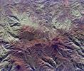
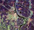
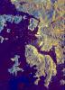
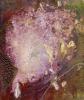
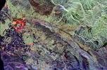
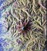
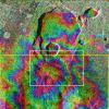
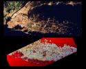
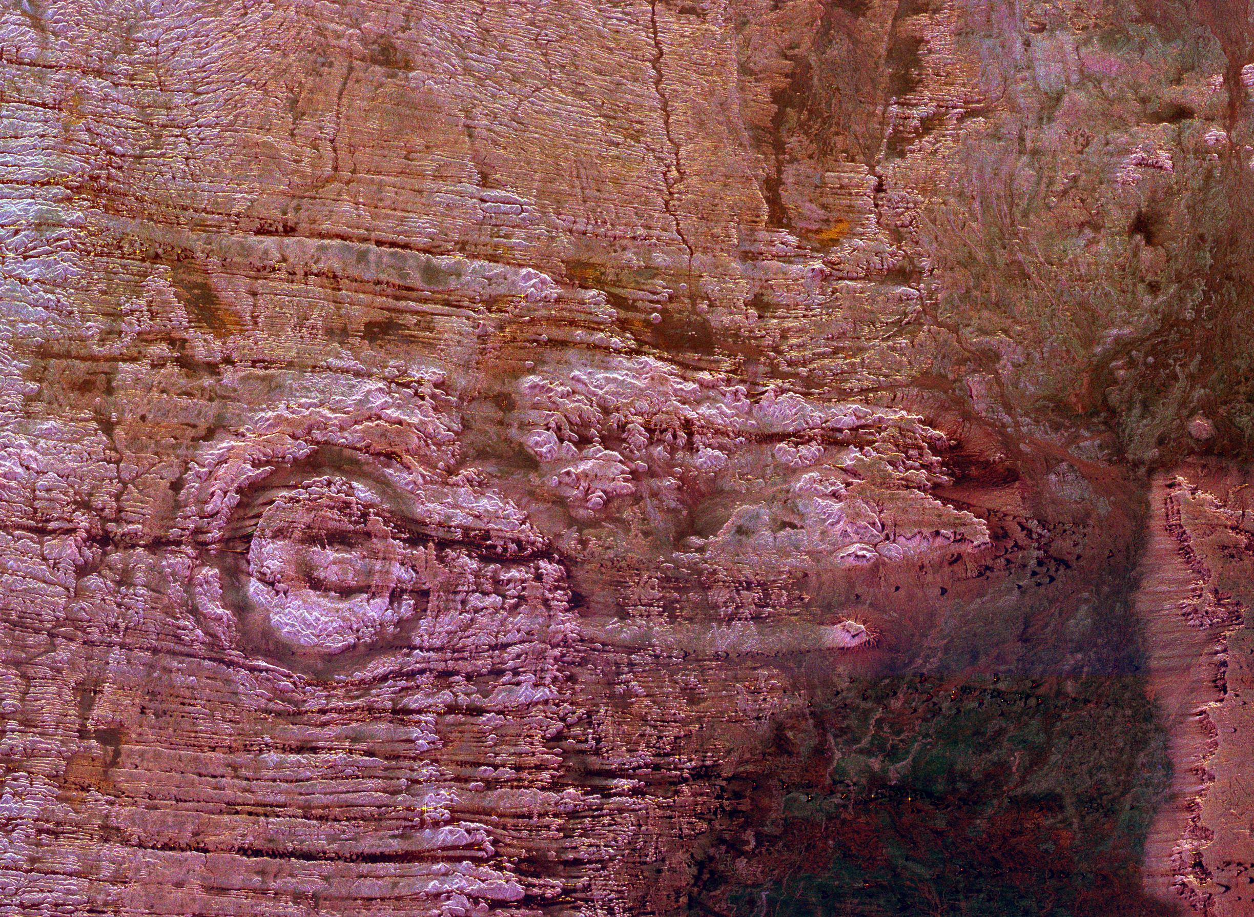
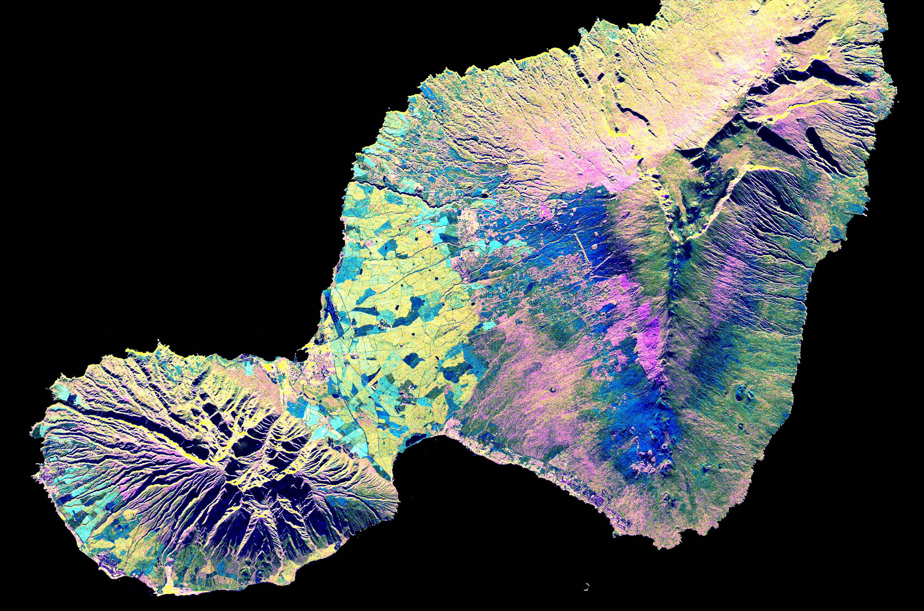
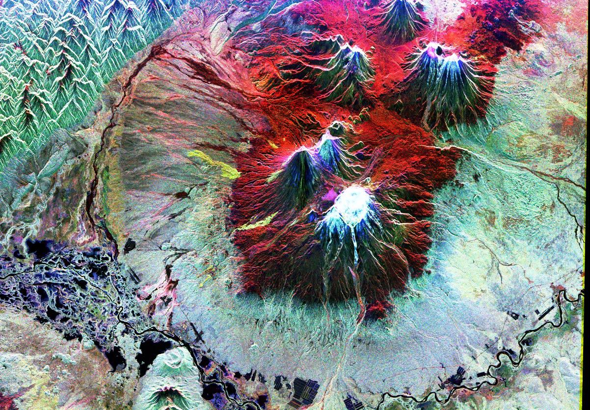
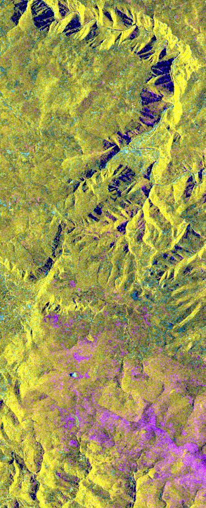
PIA01827:
-
Space Radar Image of Ruiz Volcano, Colombia
Full Resolution:
TIFF
(47.97 MB)
JPEG
(3.49 MB)
|
|
|
1999-04-15 |
Earth
|
Spaceborne Imaging Radar-C/X-Band Synthetic Aperture Radar
|
|
3000x2612x3 |
|
-
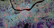
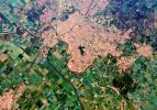
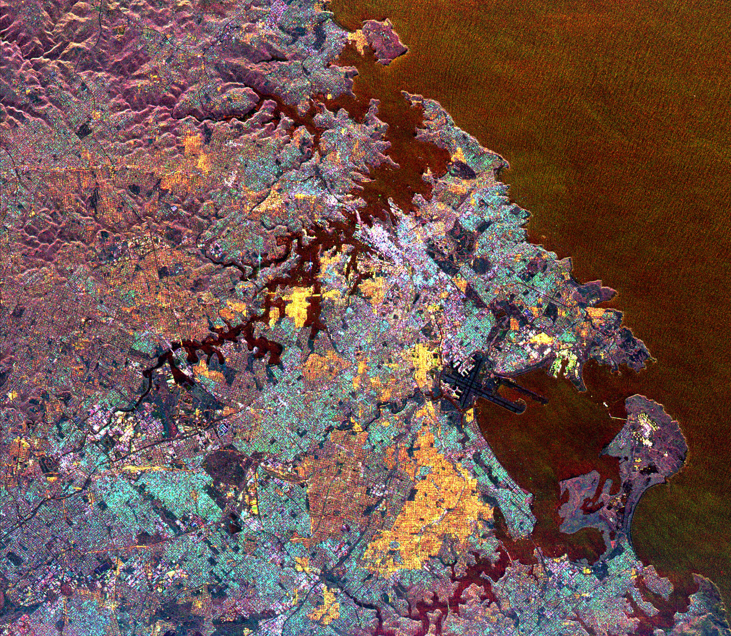
PIA01828:
-
Space Radar Image of Sydney, Australia
Full Resolution:
TIFF
(28.37 MB)
JPEG
(2.644 MB)
|
|
|
1999-04-15 |
Earth
|
Spaceborne Imaging Radar-C/X-Band Synthetic Aperture Radar
|
|
2000x2400x3 |
|
-
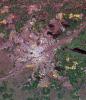
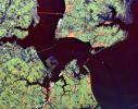
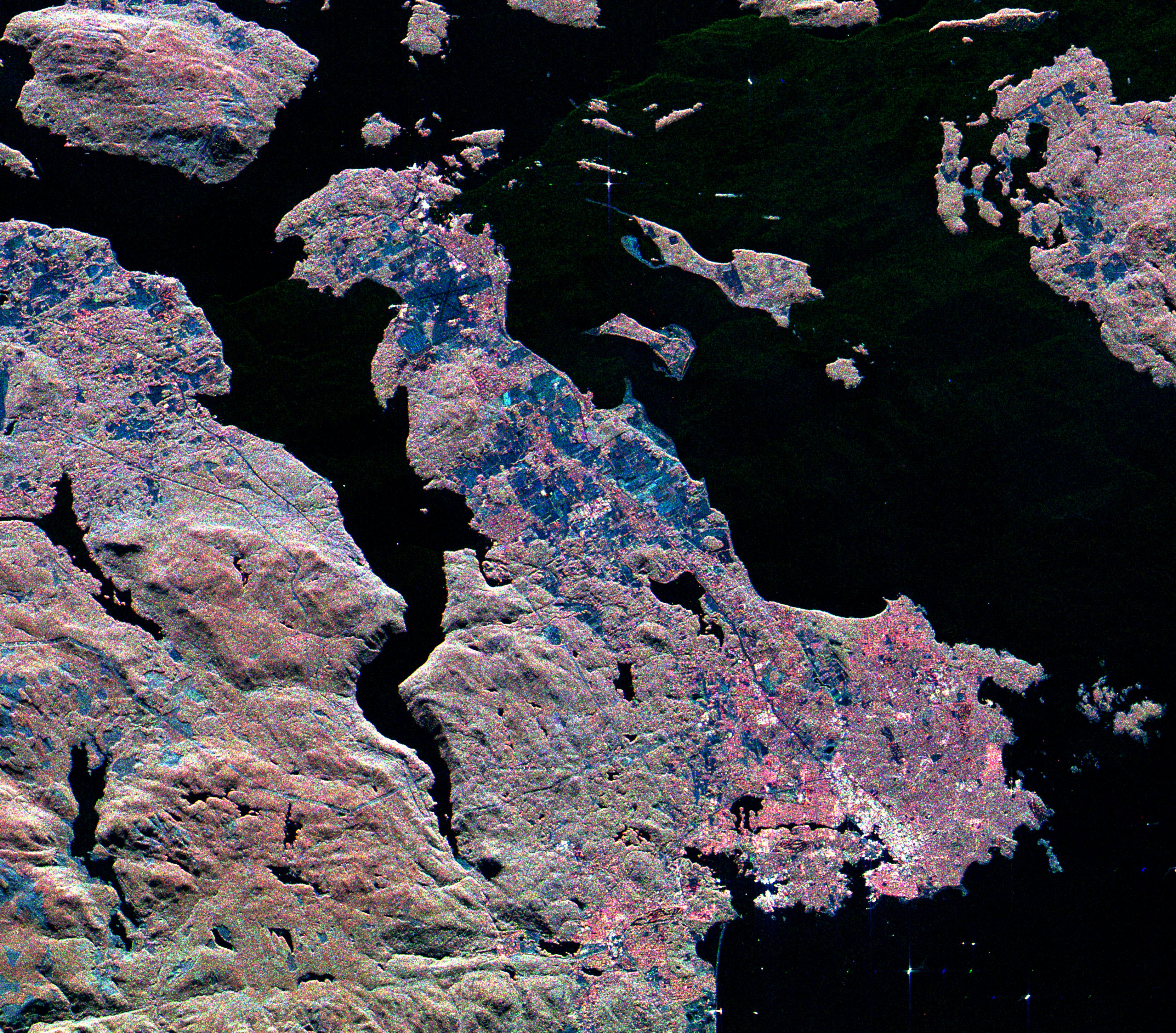
PIA01829:
-
Space Radar Image of Canberra, Australia
Full Resolution:
TIFF
(17.97 MB)
JPEG
(1.306 MB)
|
|
|
1999-04-15 |
Earth
|
Spaceborne Imaging Radar-C/X-Band Synthetic Aperture Radar
|
|
3321x2916x3 |
|
-
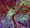
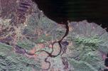
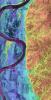
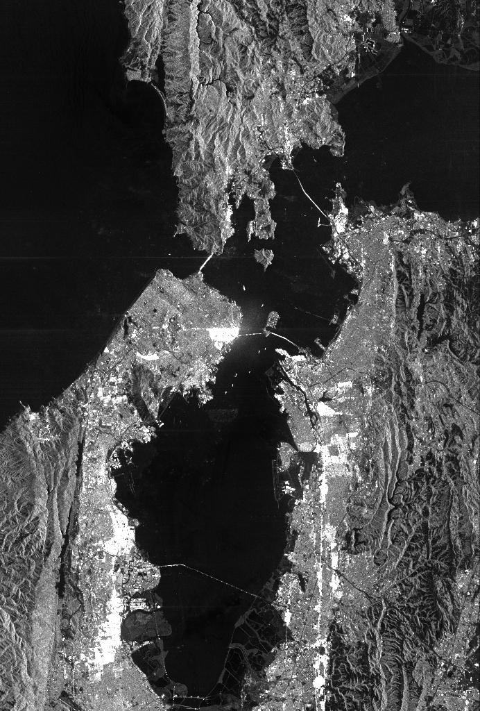
PIA01830:
-
Space Radar Image of Victoria, Canada
Full Resolution:
TIFF
(26.86 MB)
JPEG
(2.501 MB)
|
|
|
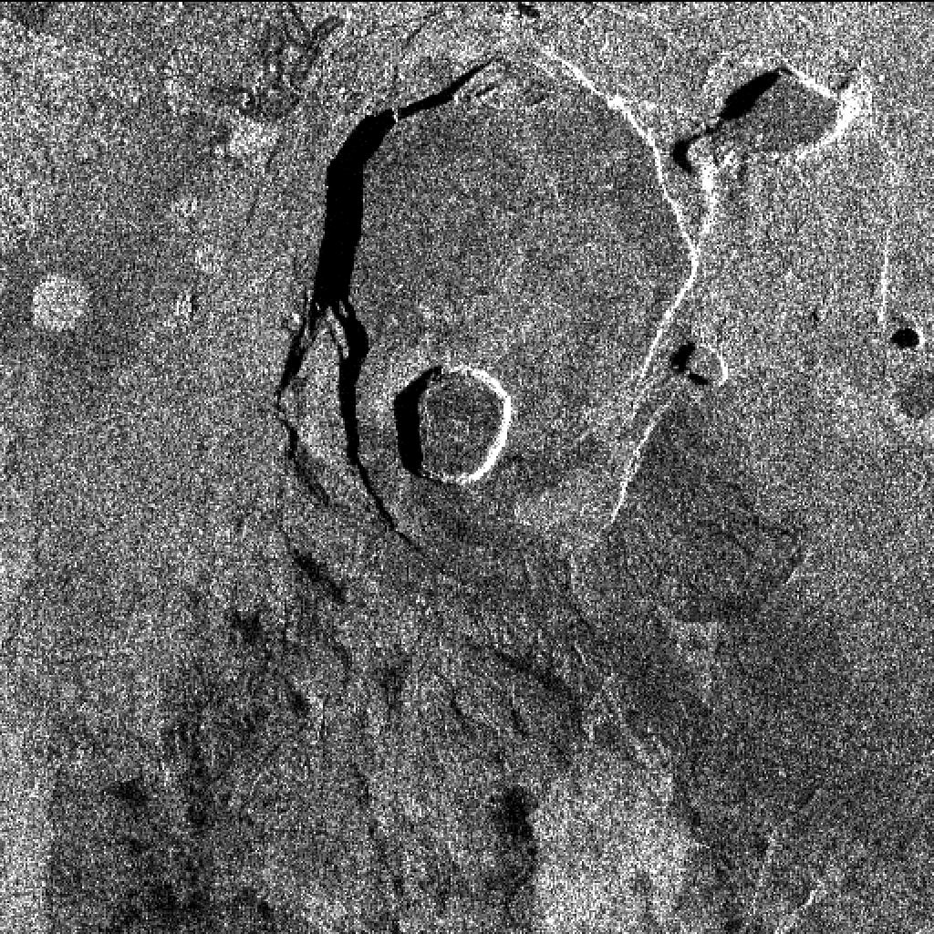
1999-04-15 |
Earth
|
Spaceborne Imaging Radar-C/X-Band Synthetic Aperture Radar
|
|
2447x1789x3 |
|
-
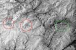
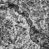
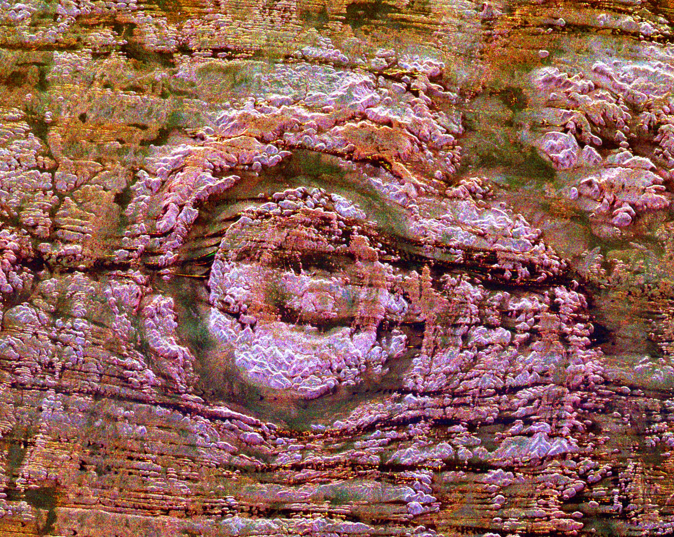
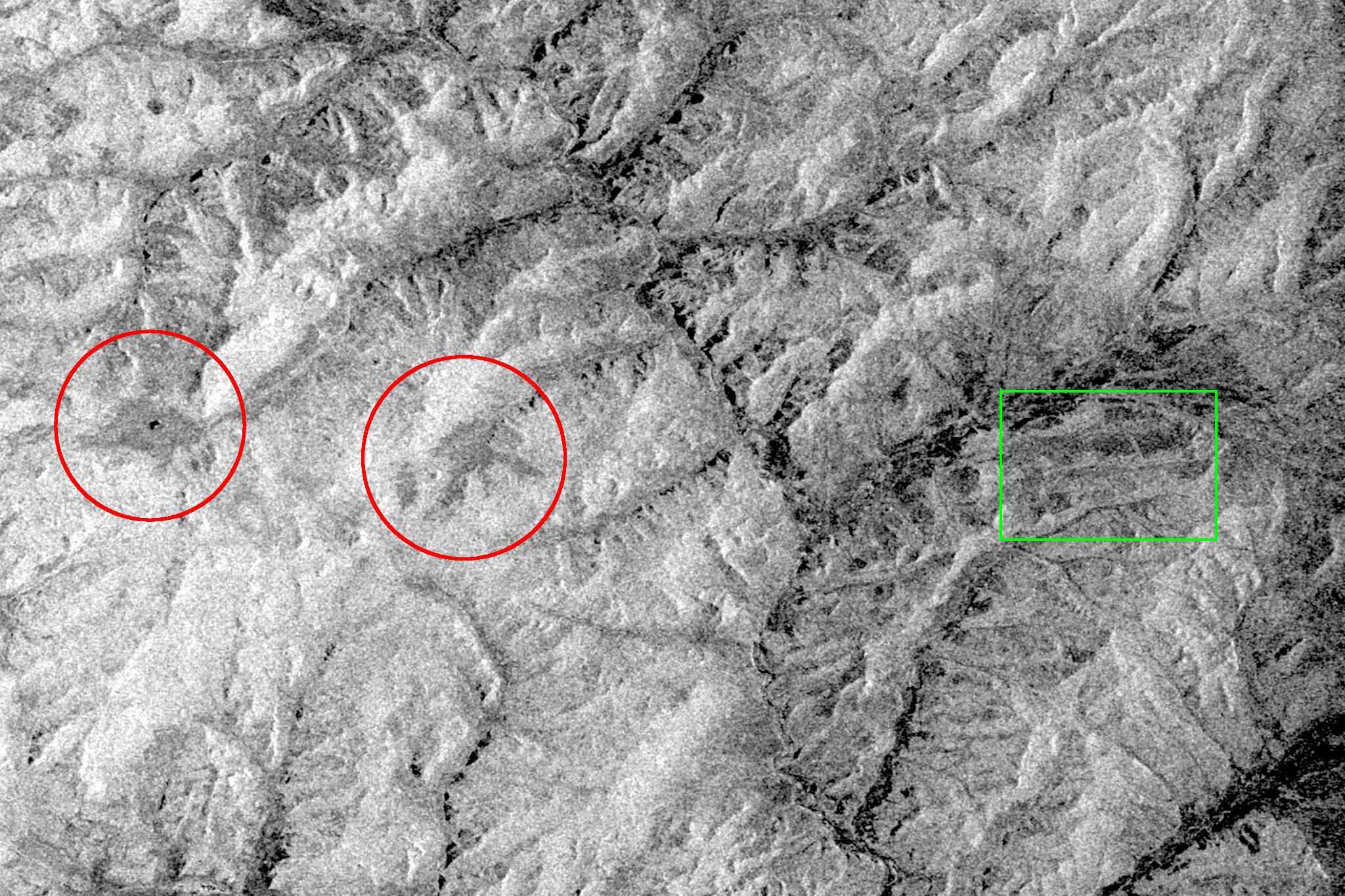
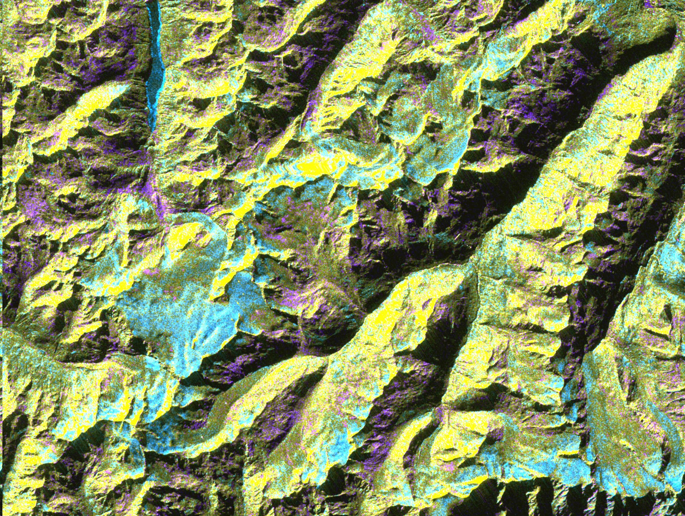
PIA01831:
-
Space Radar Image of Possible String of Impact Creaters
Full Resolution:
TIFF
(16.99 MB)
JPEG
(1.246 MB)
|
|
|
1999-04-15 |
Earth
|
Spaceborne Imaging Radar-C/X-Band Synthetic Aperture Radar
|
|
2206x1758x3 |

|
-
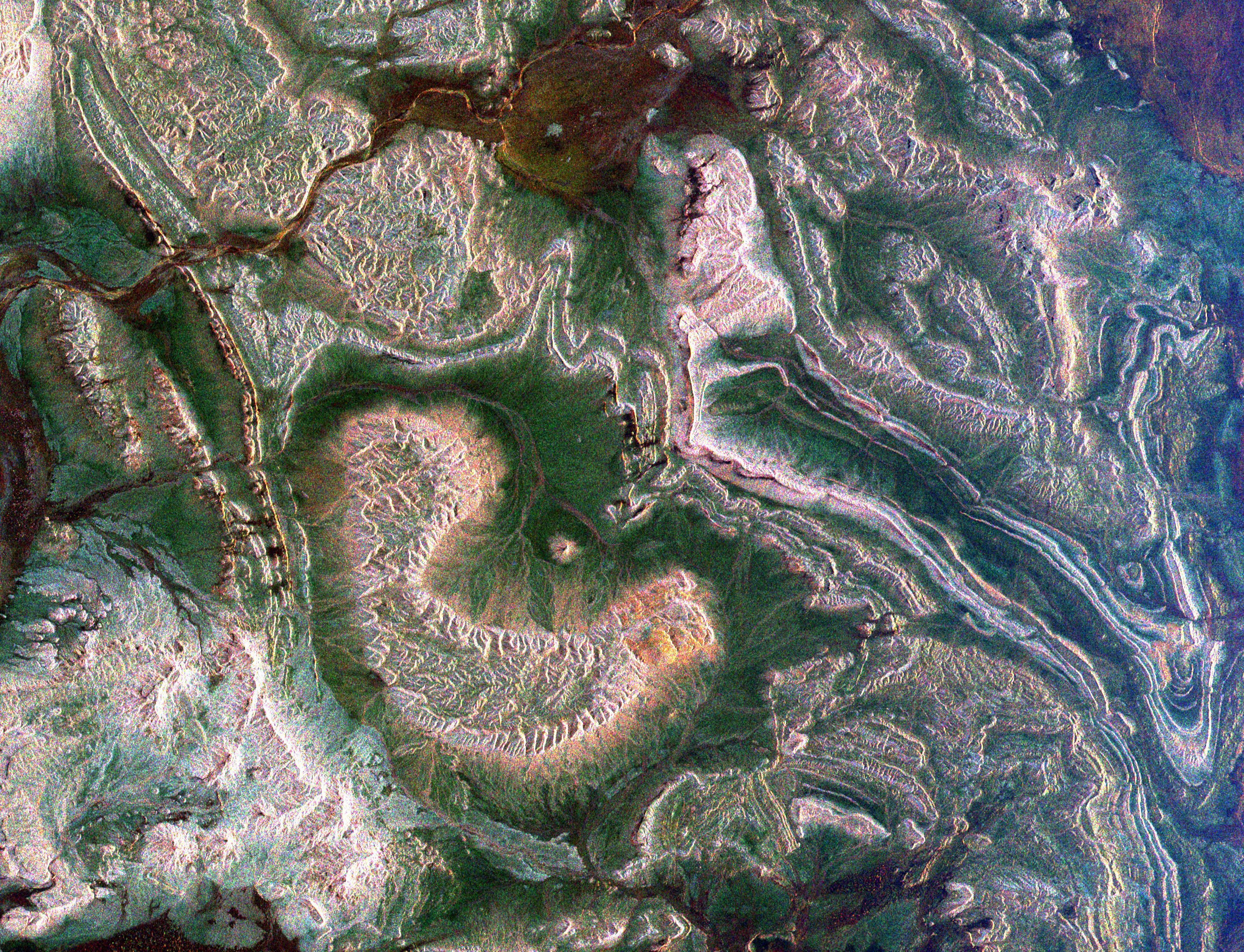
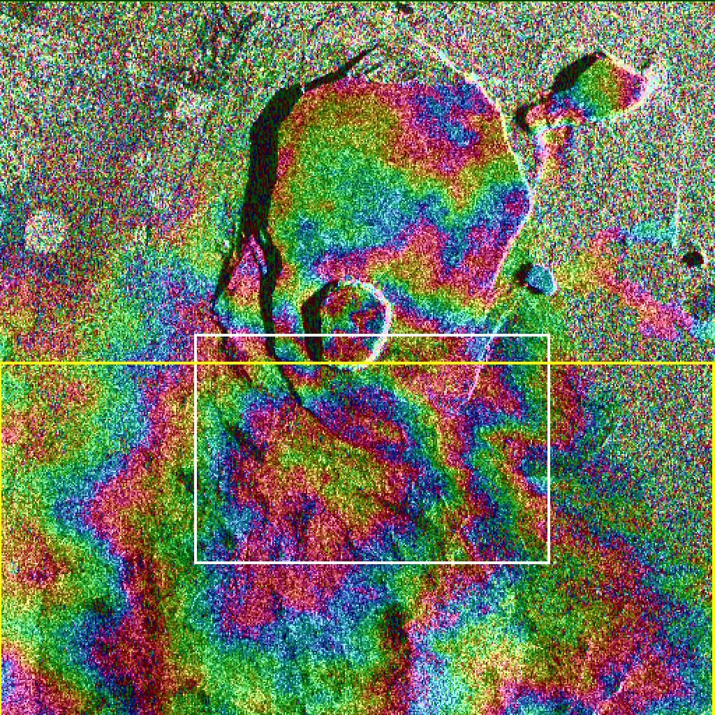
PIA01833:
-
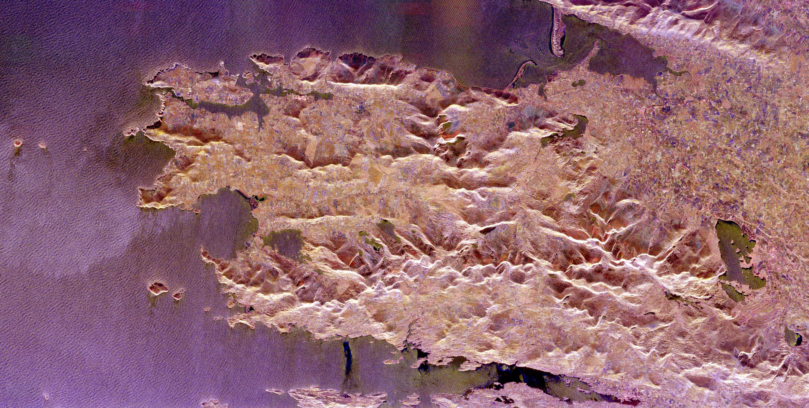
Space Radar of Image Aorounga Impact Crater, Chad
Full Resolution:
TIFF
(14.7 MB)
JPEG
(1.28 MB)
|
|
|
1999-04-15 |
Earth
|
Spaceborne Imaging Radar-C/X-Band Synthetic Aperture Radar
|
|
2233x3024x3 |
|
-
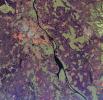
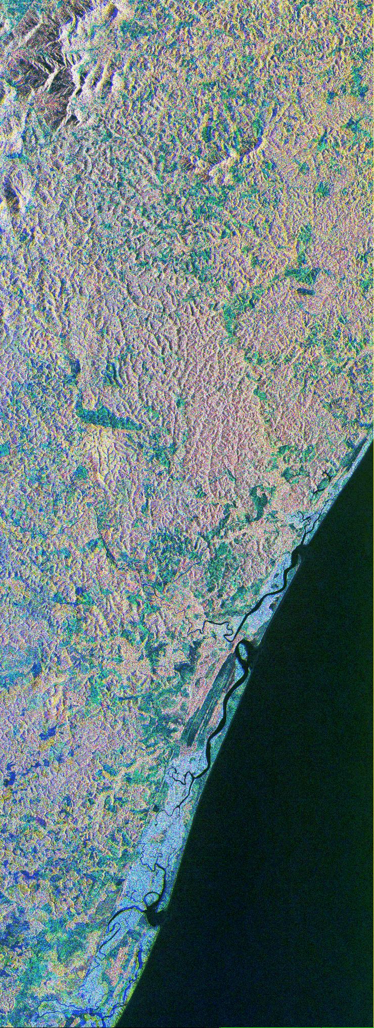
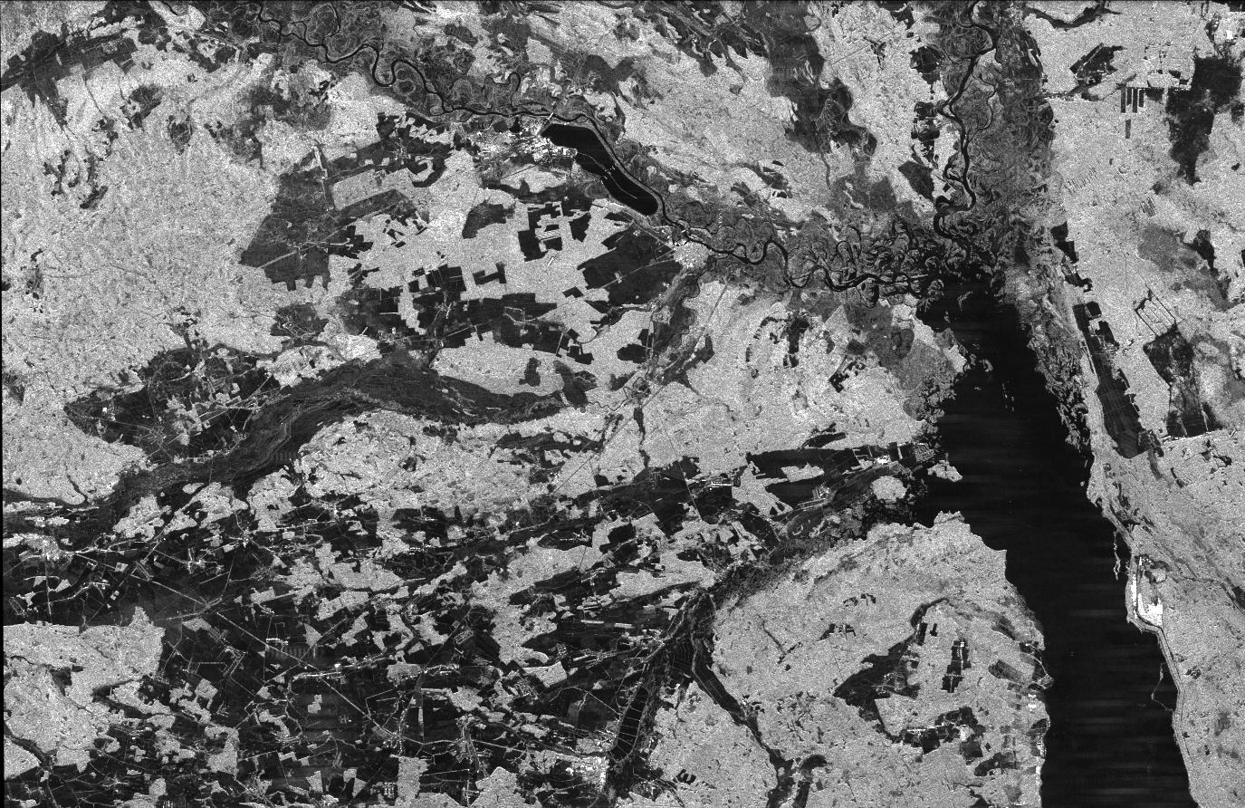
PIA01836:
-
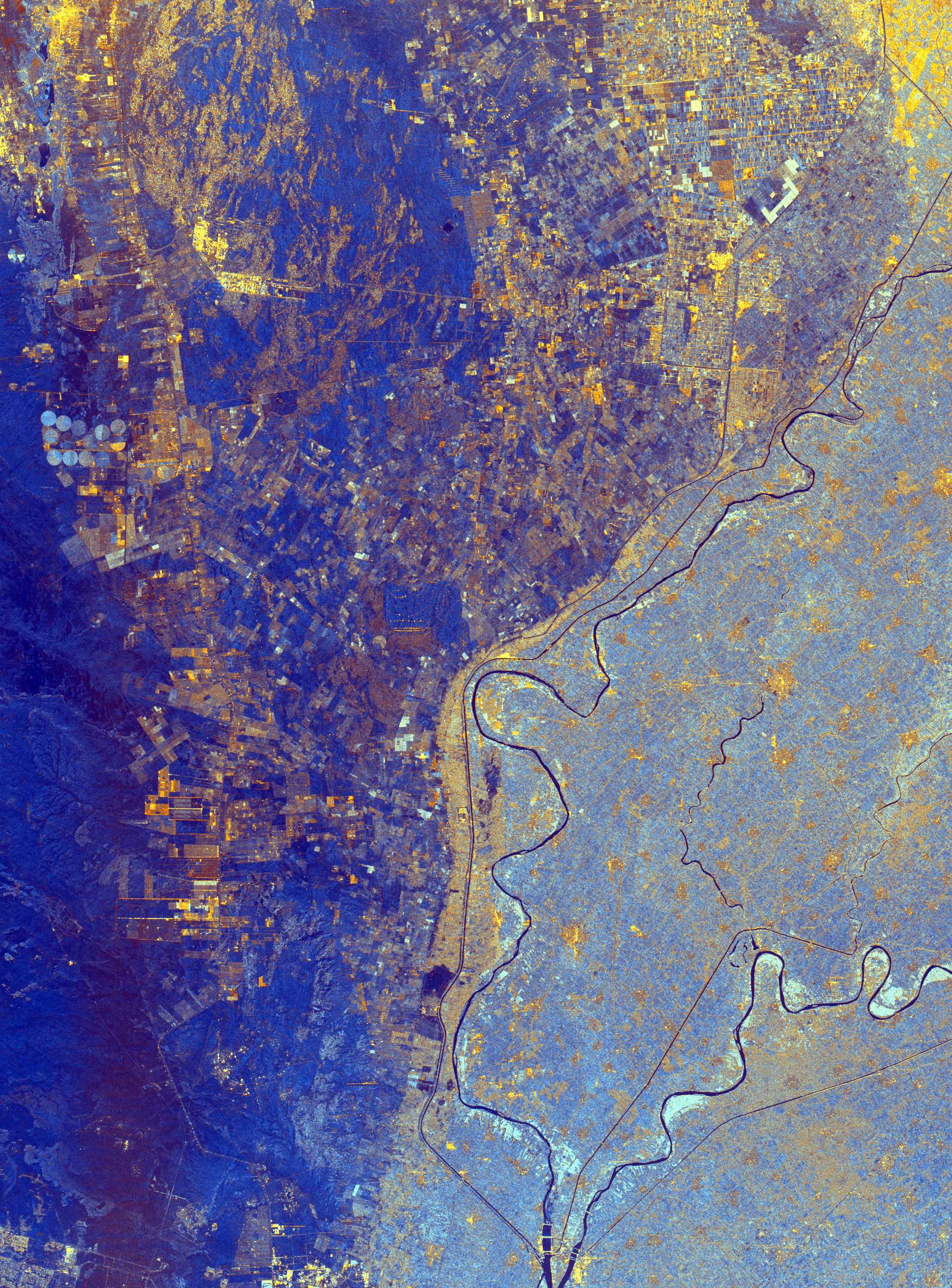
Space Radar Image of Nile River Delta, Egypt
Full Resolution:
TIFF
(25.89 MB)
JPEG
(2.052 MB)
|
|
|
1999-04-15 |
Earth
|
Spaceborne Imaging Radar-C/X-Band Synthetic Aperture Radar
|
|
2325x1521x3 |
|
-
PIA01837:
-
Space Radar Image of Mineral Resources, China
Full Resolution:
TIFF
(9.551 MB)
JPEG
(1.02 MB)
|
|
|
1999-04-15 |
Earth
|
Spaceborne Imaging Radar-C/X-Band Synthetic Aperture Radar
|
|
2050x3120x3 |
|
-
PIA01838:
-
Space Radar Image of Great Wall of China
Full Resolution:
TIFF
(16.51 MB)
JPEG
(1.113 MB)
|
|
|
1999-04-15 |
Earth
|
Spaceborne Imaging Radar-C/X-Band Synthetic Aperture Radar
|
|
2805x2472x3 |
|
-
PIA01839:
-
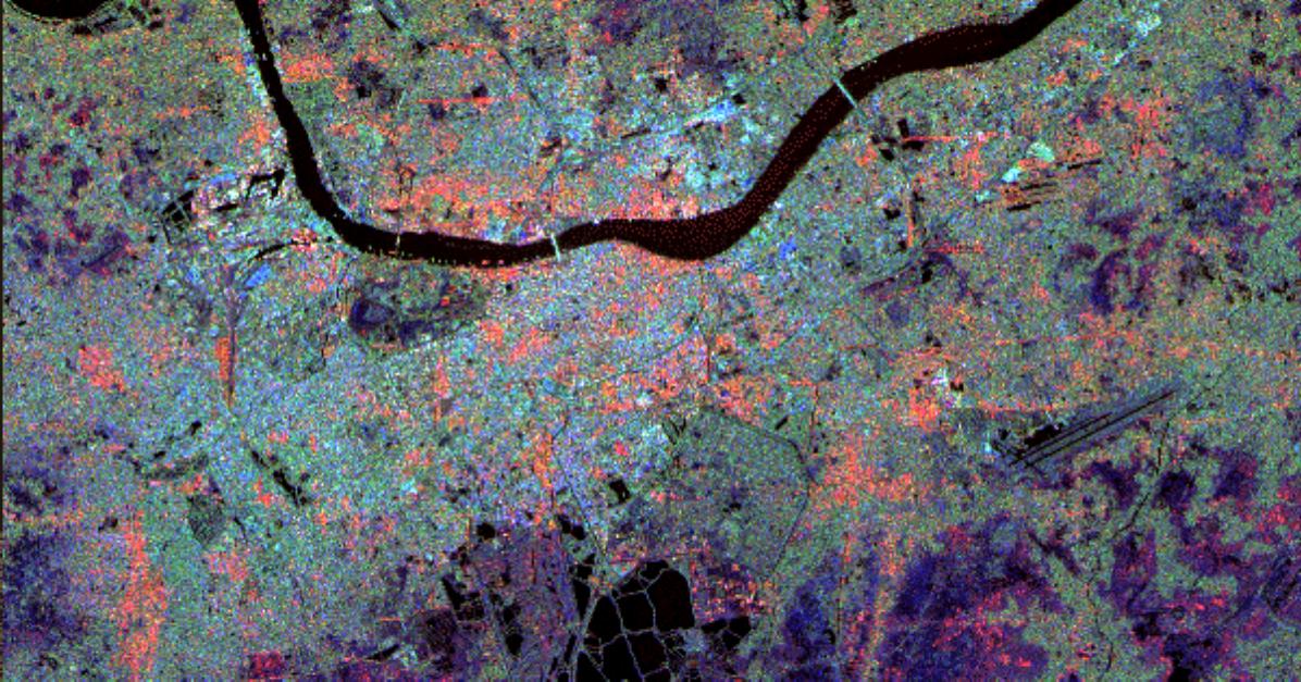
Space Radar Image of Belgrade, Serbia
Full Resolution:
TIFF
(26.23 MB)
JPEG
(2.34 MB)
|
|
|
1999-04-15 |
Earth
|
Spaceborne Imaging Radar-C/X-Band Synthetic Aperture Radar
|
|
1920x1080x3 |
|
-
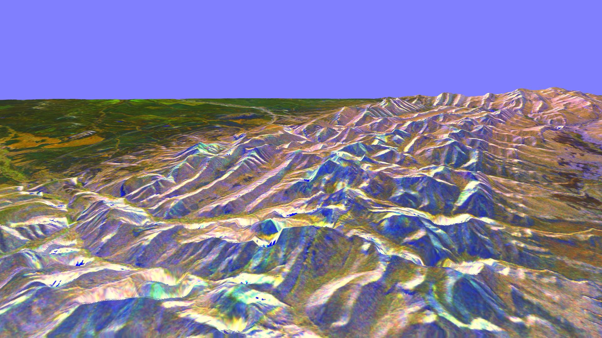
PIA01840:
-
Space Radar Image of Rocky Mountains, Montana
Full Resolution:
TIFF
(5.591 MB)
JPEG
(319.5 kB)
|
|
|
1999-04-15 |
Earth
|
Spaceborne Imaging Radar-C/X-Band Synthetic Aperture Radar
|
|
1920x1080x3 |
|
-
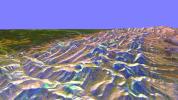
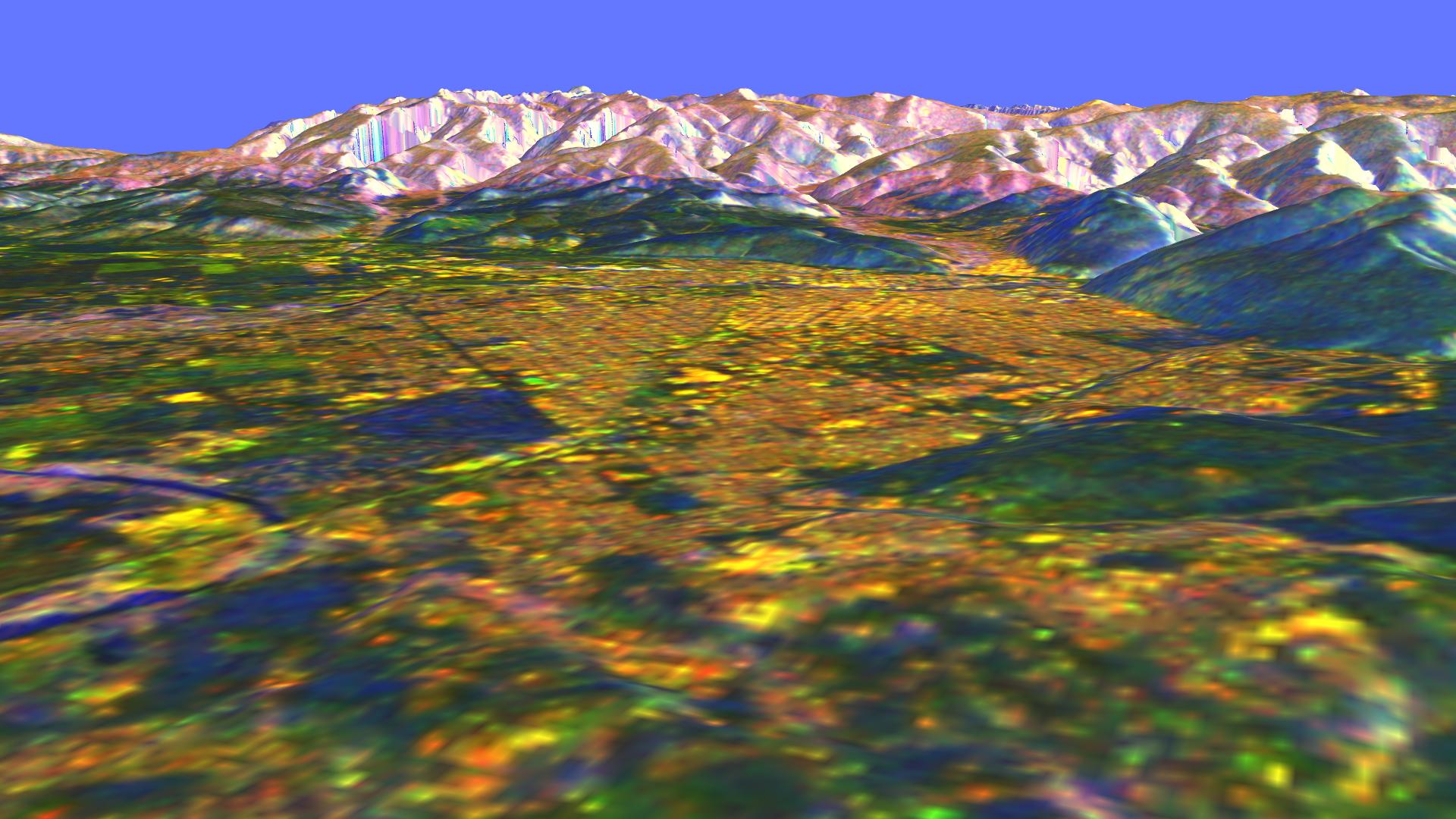
PIA01841:
-
Space Radar Image of Missoula, Montana in 3-D
Full Resolution:
TIFF
(6.282 MB)
JPEG
(267.3 kB)
|
|
|
1999-04-15 |
Earth
|
Spaceborne Imaging Radar-C/X-Band Synthetic Aperture Radar
|
|
1648x2449x3 |
|
-
PIA01842:
-
Space Radar Image of Honolulu, Oahu, Hawaii
Full Resolution:
TIFF
(12.13 MB)
JPEG
(961.7 kB)
|
|
|
1999-04-15 |
Earth
|
Spaceborne Imaging Radar-C/X-Band Synthetic Aperture Radar
|
|
1792x2496x3 |
|
-
PIA01843:
-
Space Radar Image of Hong Kong
Full Resolution:
TIFF
(13.68 MB)
JPEG
(1.002 MB)
|
|
|
1999-04-15 |
Earth
|
Spaceborne Imaging Radar-C/X-Band Synthetic Aperture Radar
|
|
1196x627x3 |
|
-
PIA01844:
-
Space Radar Image of Calcutta, West Bengal, India
Full Resolution:
TIFF
(2.759 MB)
JPEG
(203.7 kB)
|
|
|
1999-04-15 |
Earth
|
Spaceborne Imaging Radar-C/X-Band Synthetic Aperture Radar
|
|
2466x2881x3 |
|
-
PIA01845:
-
Space Radar Image of Munich, Germany
Full Resolution:
TIFF
(26.31 MB)
JPEG
(2.135 MB)
|
|
|
1999-04-15 |
Earth
|
Spaceborne Imaging Radar-C/X-Band Synthetic Aperture Radar
|
|
5881x4501x3 |

|
-
PIA01846:
-
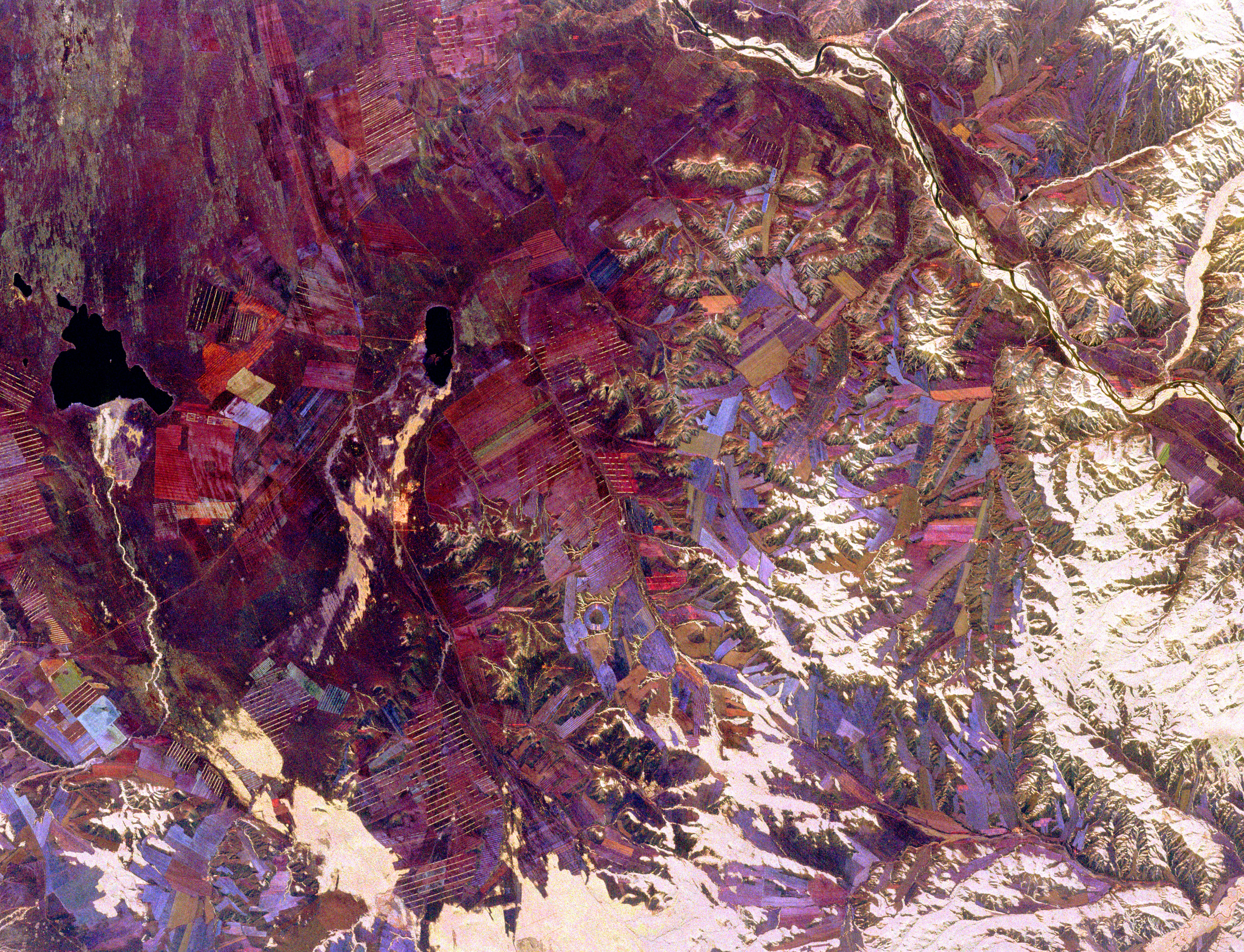
Space Radar Image of Tuva, Central Asia
Full Resolution:
TIFF
(80.21 MB)
JPEG
(6.547 MB)
|
|
|
1999-04-15 |
Earth
|
Spaceborne Imaging Radar-C/X-Band Synthetic Aperture Radar
|
|
2177x2057x3 |
|
-
PIA01847:
-
Space Radar Image of Phnom Phen, Cambodia
Full Resolution:
TIFF
(16.8 MB)
JPEG
(1.418 MB)
|
|
|
1999-04-15 |
Earth
|
Spaceborne Imaging Radar-C/X-Band Synthetic Aperture Radar
|
|
3295x1662x3 |
|
-
PIA01848:
-
Space Radar Image of County Kerry, Ireland
Full Resolution:
TIFF
(18.29 MB)
JPEG
(1.841 MB)
|
|
|
1999-04-15 |
Earth
|
Spaceborne Imaging Radar-C/X-Band Synthetic Aperture Radar
|
|
3000x3500x3 |
|
-
PIA01849:
-
Space Radar Image of Wenatchee, Washington
Full Resolution:
TIFF
(37.48 MB)
JPEG
(2.441 MB)
|
|
|
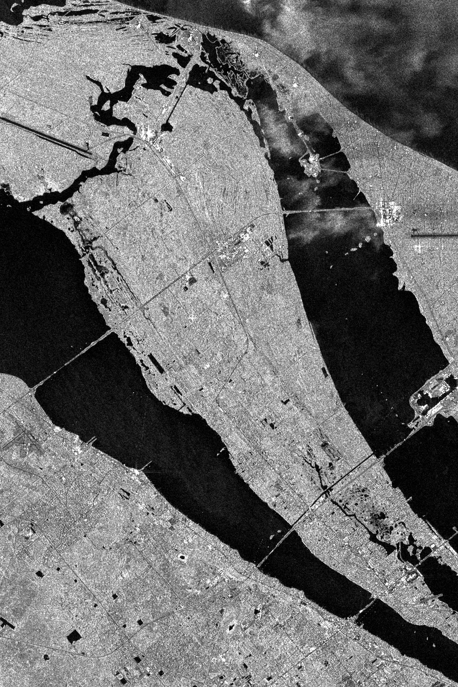
1999-04-15 |
Earth
|
Spaceborne Imaging Radar-C/X-Band Synthetic Aperture Radar
|
|
2808x3500x3 |
|
-
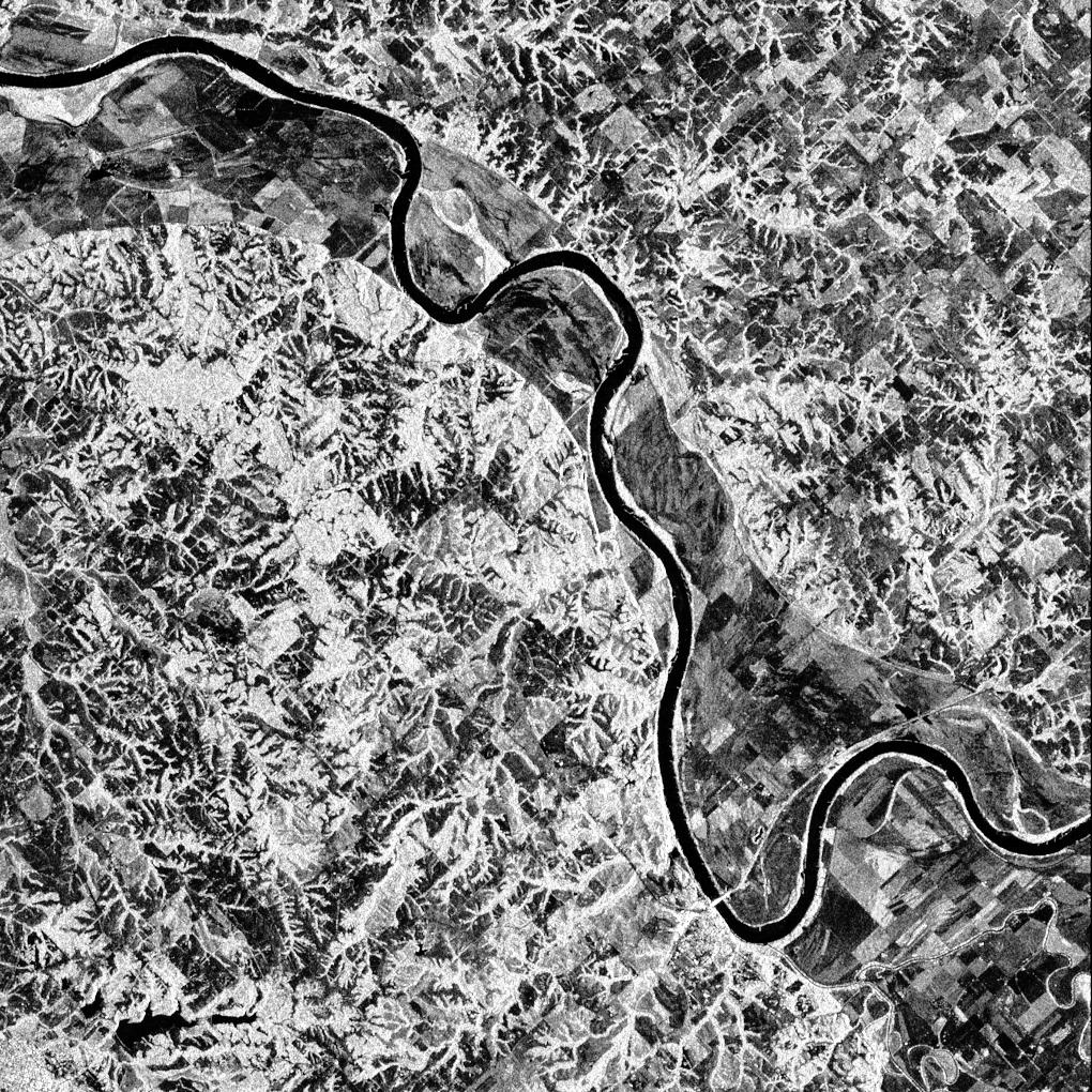
PIA01850:
-
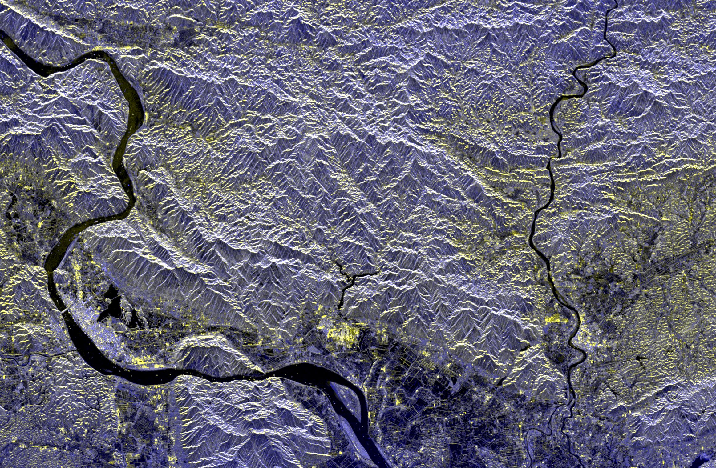
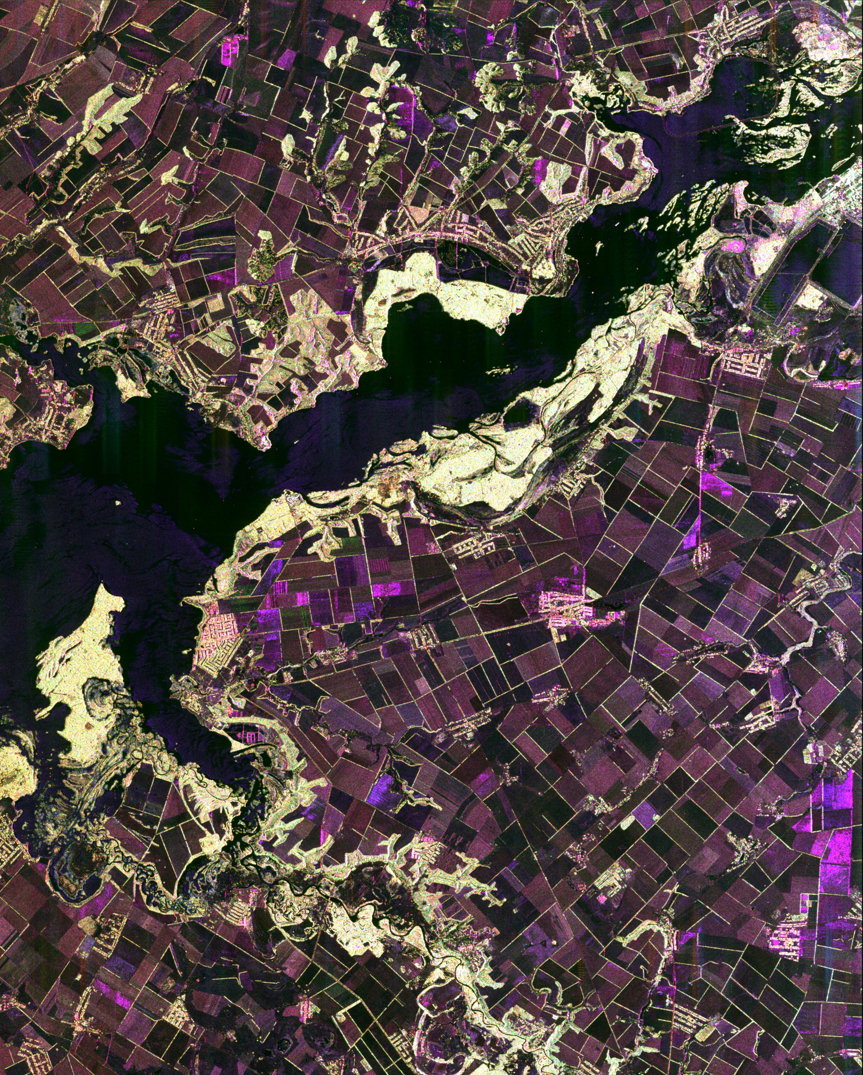
Space Radar Image of Dnieper River, Ukraine
Full Resolution:
TIFF
(32.99 MB)
JPEG
(2.203 MB)
|
|
|
1999-04-15 |
Earth
|
Spaceborne Imaging Radar-C/X-Band Synthetic Aperture Radar
|
|
6000x3852x3 |
|
-
PIA01851:
-
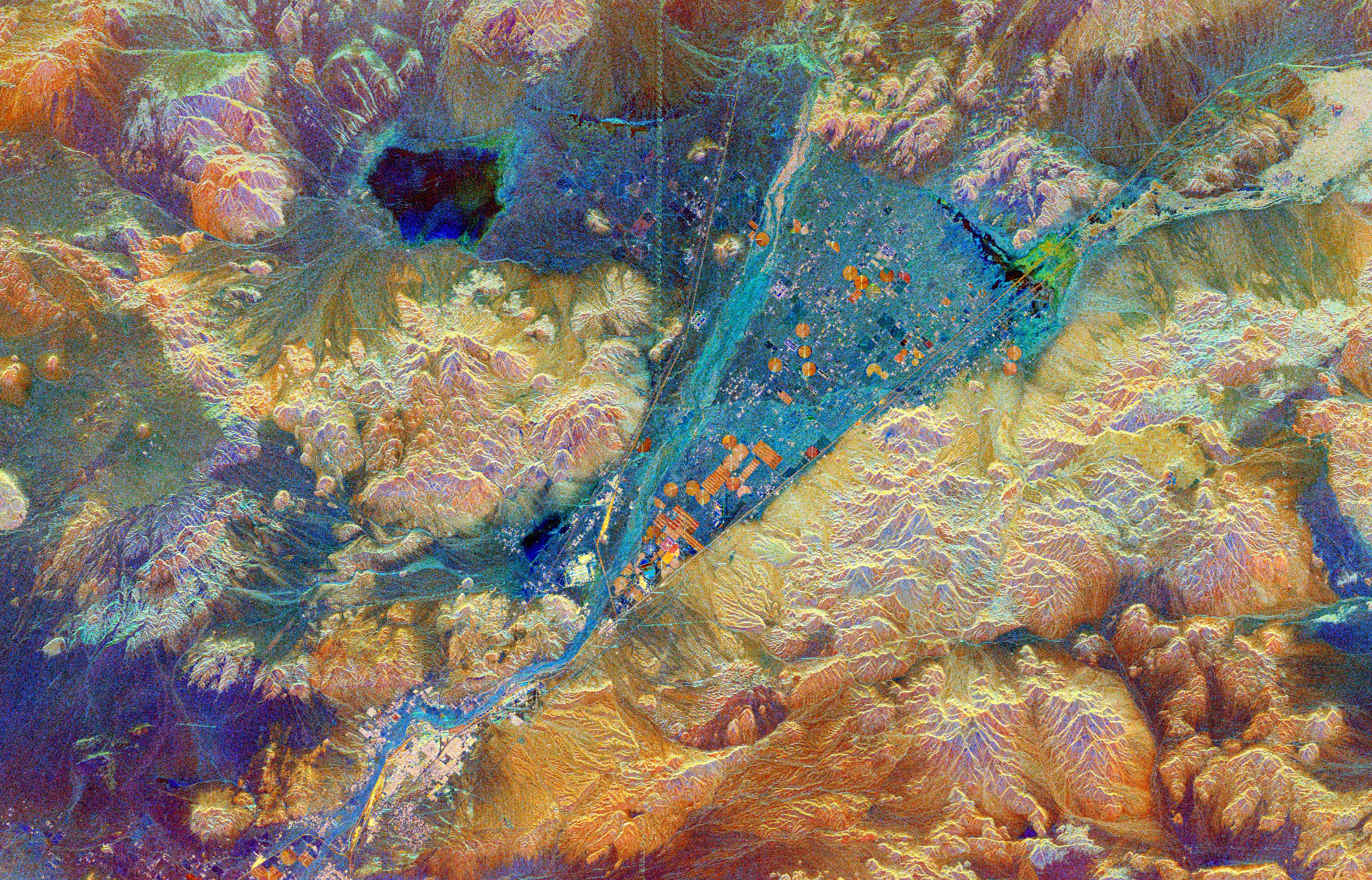
Space Radar Image of Barstow, California
Full Resolution:
TIFF
(79.47 MB)
JPEG
(9.271 MB)
|
|
|
1999-04-15 |
Earth
|
Spaceborne Imaging Radar-C/X-Band Synthetic Aperture Radar
|
|
3841x4593x3 |
|
-
PIA01852:
-
Space Radar Image of Pinacate Volcanic Field, Mexico
Full Resolution:
TIFF
(64.12 MB)
JPEG
(5.228 MB)
|
|
|
1999-04-15 |
Earth
|
Spaceborne Imaging Radar-C/X-Band Synthetic Aperture Radar
|
|
4001x2640x3 |
|
-
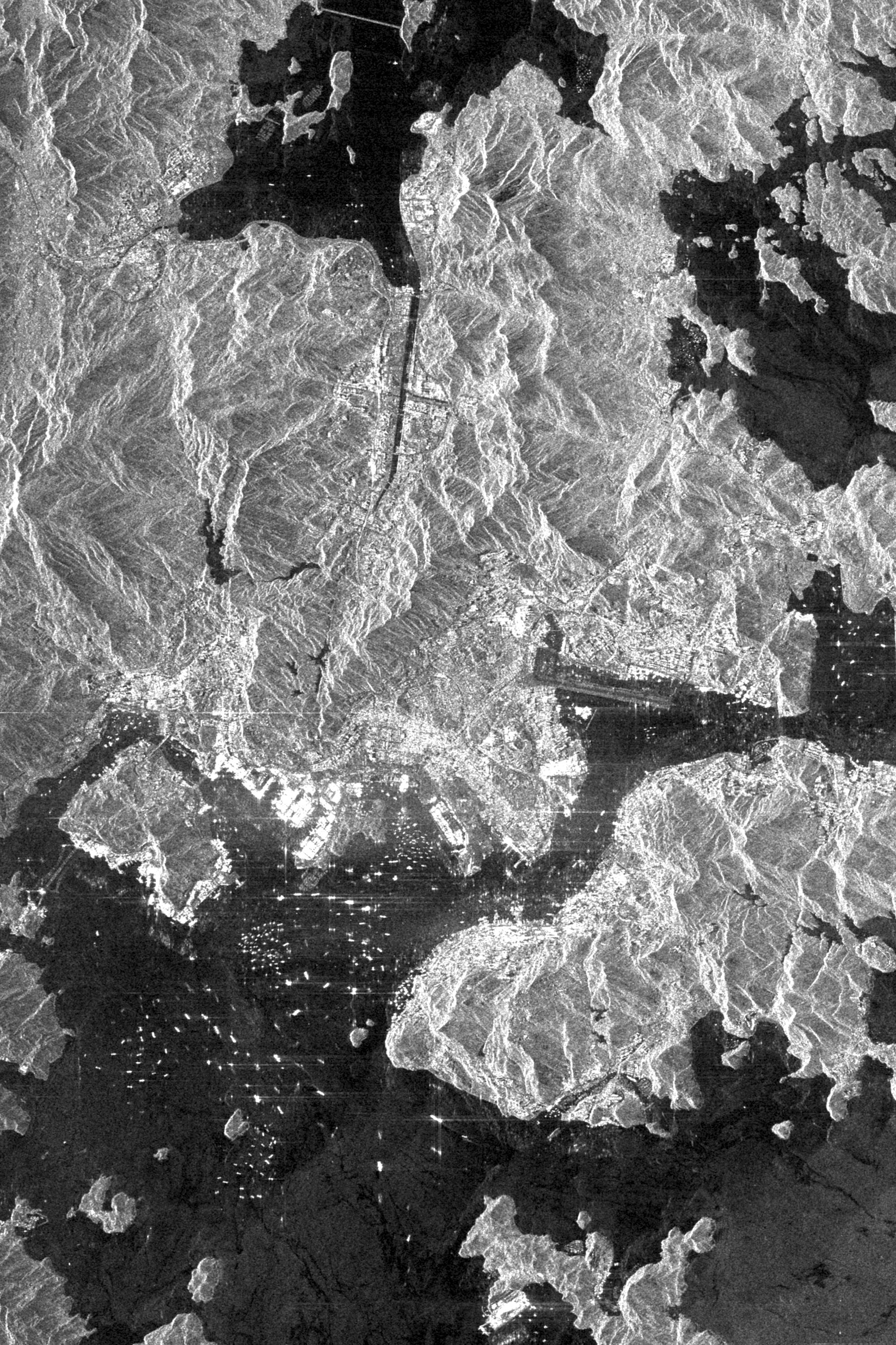
PIA01853:
-
Space Radar Image of Taipei, Taiwan
Full Resolution:
TIFF
(34.76 MB)
JPEG
(2.419 MB)
|
|
|
1999-04-15 |
Earth
|
Spaceborne Imaging Radar-C/X-Band Synthetic Aperture Radar
|
|
6539x3444x3 |

|
-
PIA01857:
-
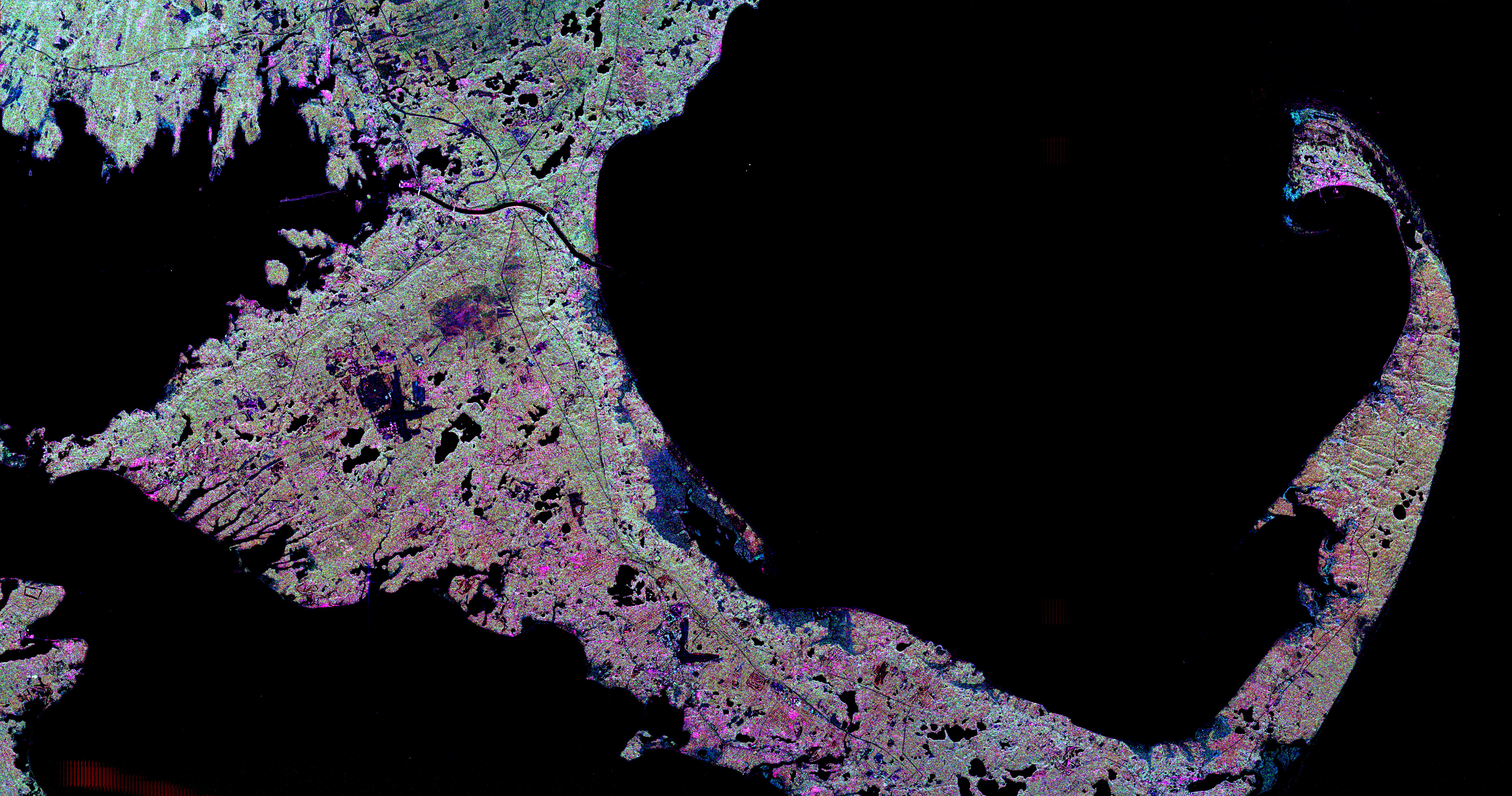
Space Radar Image of Cape Cod, Massachusetts
Full Resolution:
TIFF
(25.1 MB)
JPEG
(3.779 MB)
|
|
|
1999-04-15 |
Earth
|
Spaceborne Imaging Radar-C/X-Band Synthetic Aperture Radar
|
|
2949x1949x3 |
|
-
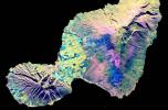
PIA01858:
-
Space Radar Image of Maui, Hawaii
Full Resolution:
TIFF
(11.52 MB)
JPEG
(1.26 MB)
|
|
|
1999-04-15 |
Earth
|
Spaceborne Imaging Radar-C/X-Band Synthetic Aperture Radar
|
|
2733x2656x3 |
|
-
PIA01859:
-
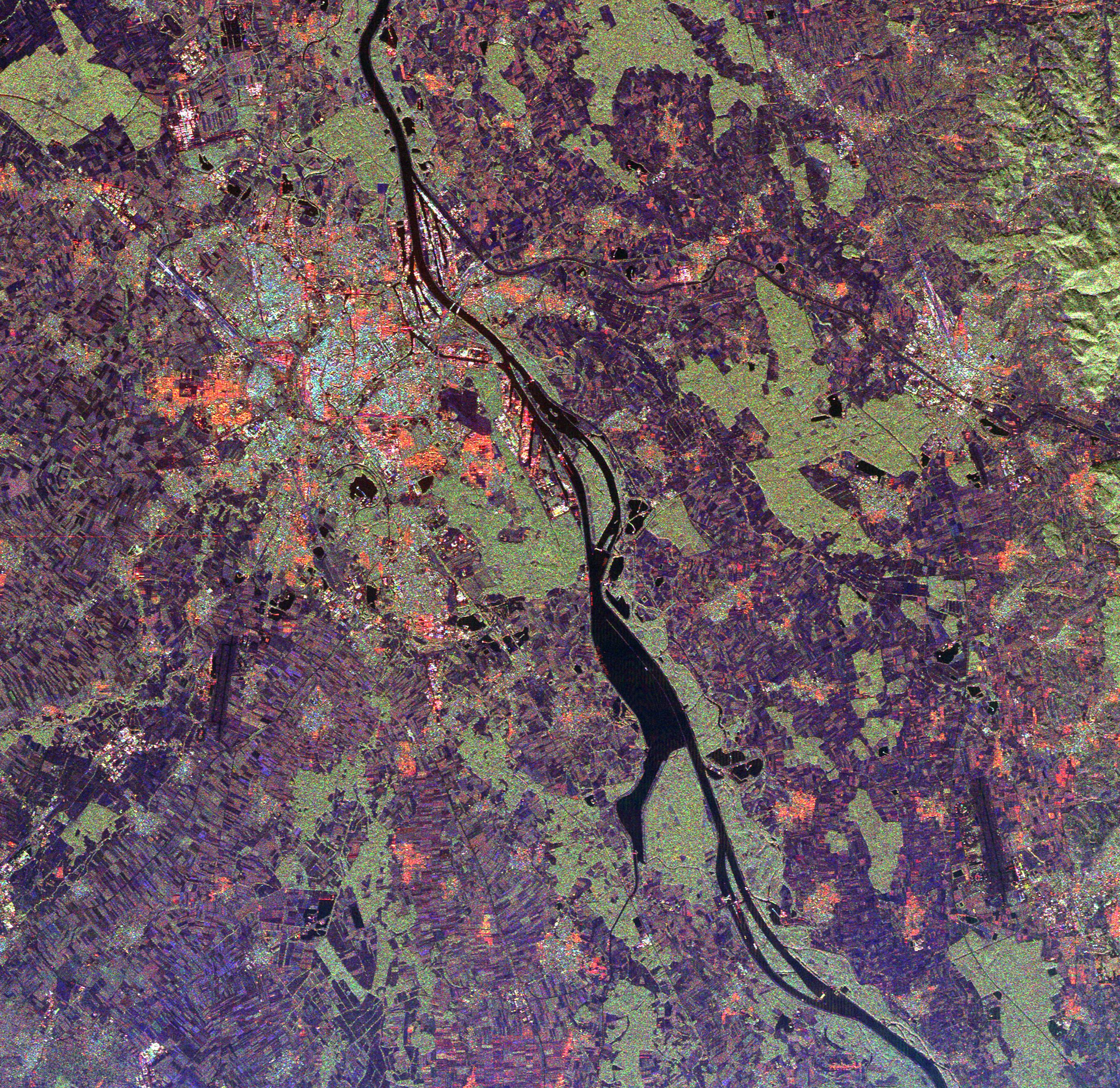
Space Radar Image of Rhine River, France and Germany
Full Resolution:
TIFF
(27.7 MB)
JPEG
(2.372 MB)
|
|
|
1999-04-15 |
Earth
|
Spaceborne Imaging Radar-C/X-Band Synthetic Aperture Radar
|
|
4236x2788x3 |
|
-
PIA01860:
-
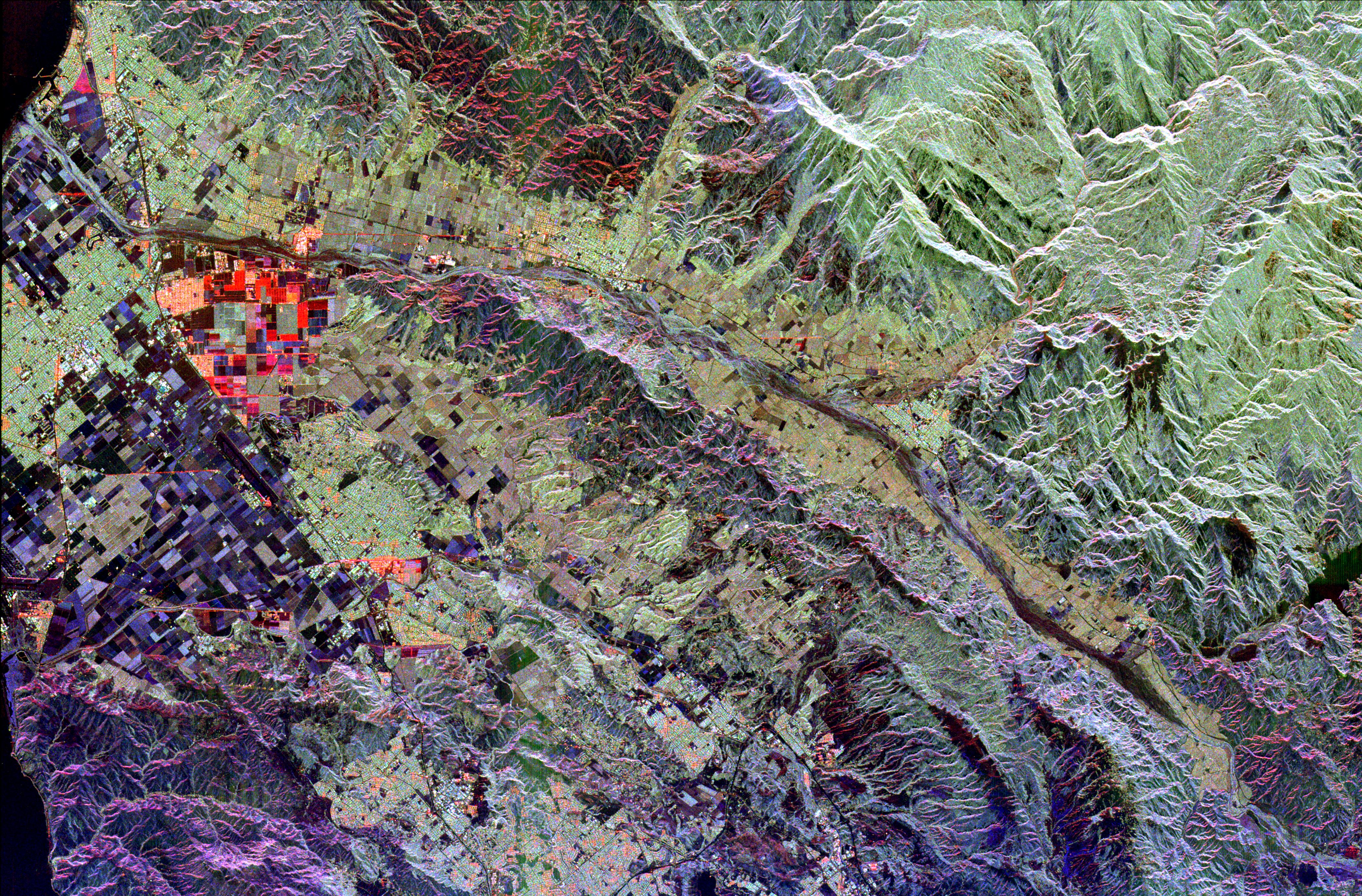
Space Radar Image of Ventura County, California
Full Resolution:
TIFF
(42.27 MB)
JPEG
(3.482 MB)
|
|
|
1999-04-15 |
Earth
|
Spaceborne Imaging Radar-C/X-Band Synthetic Aperture Radar
|
|
1537x1081x3 |
|
-
PIA01861:
-
Space Radar Image of Sacramento, California
Full Resolution:
TIFF
(5.841 MB)
JPEG
(770.2 kB)
|
|
|
1999-04-15 |
Earth
|
Spaceborne Imaging Radar-C/X-Band Synthetic Aperture Radar
|
|
2985x2361x3 |
|
-
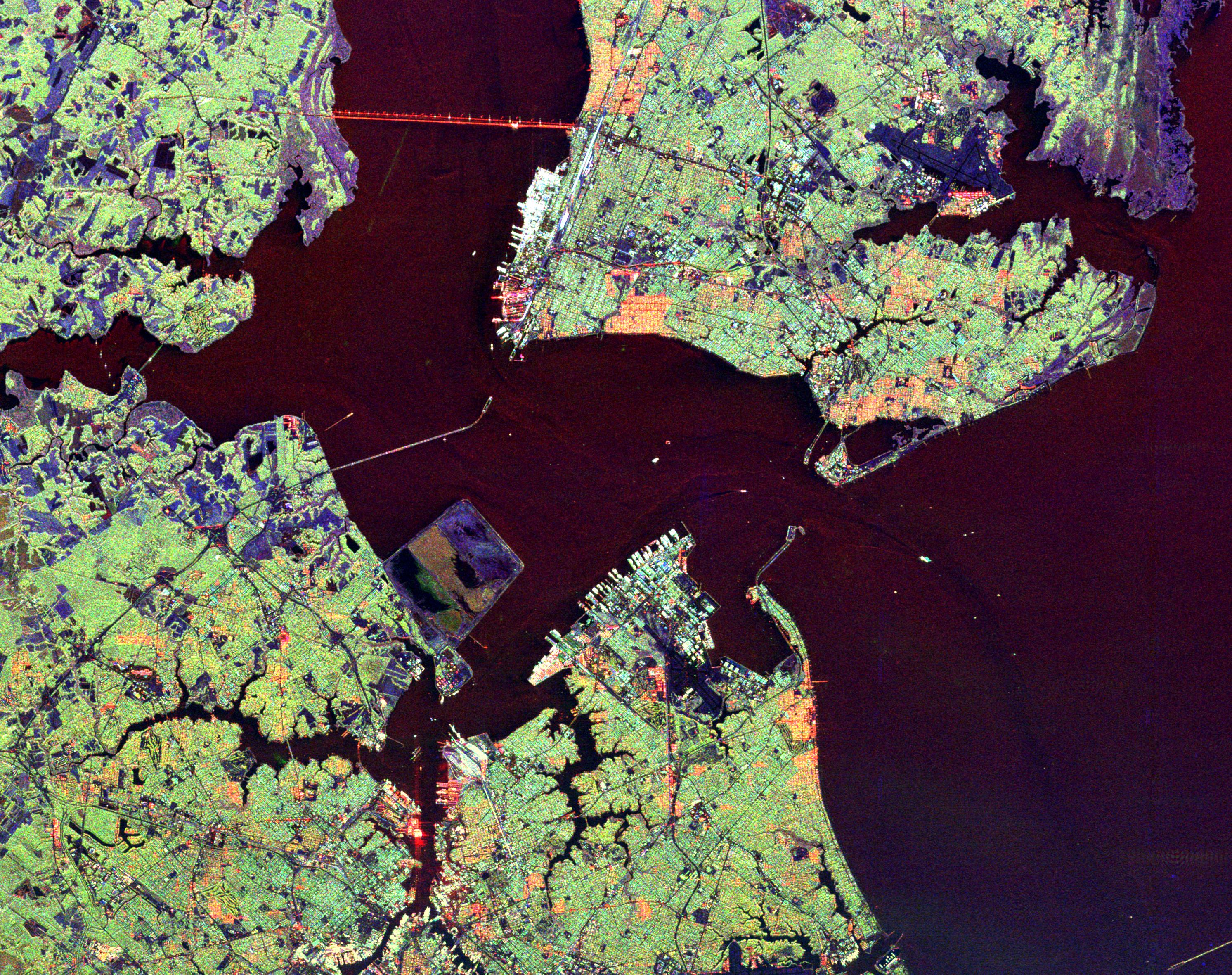
PIA01862:
-
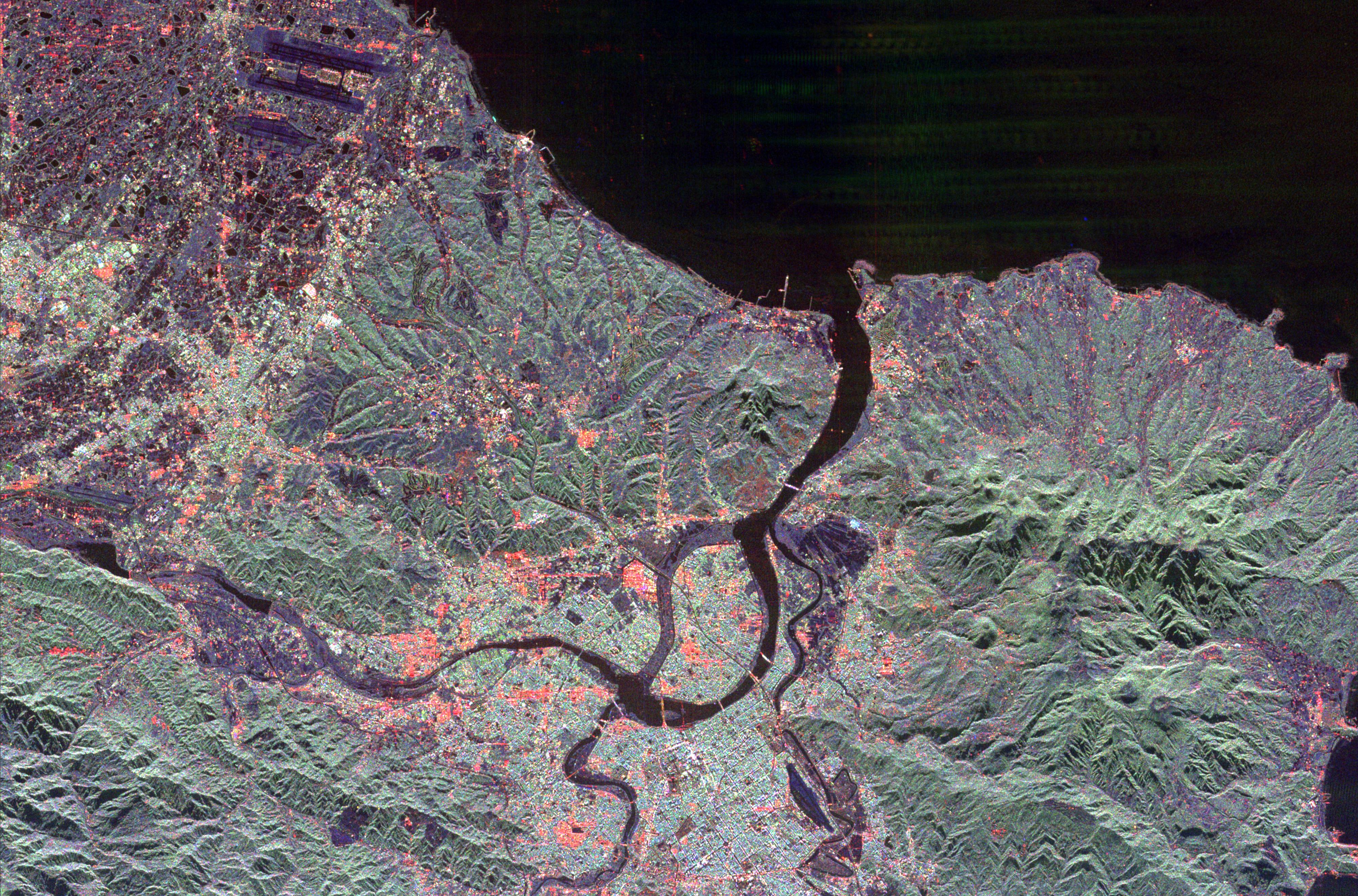
Space Radar Image of Hampton Roads, Virginia
Full Resolution:
TIFF
(24.39 MB)
JPEG
(1.869 MB)
|
|
|
1999-04-15 |
Earth
|
Spaceborne Imaging Radar-C/X-Band Synthetic Aperture Radar
|
|
3537x2708x3 |

|
-
PIA01863:
-
Space Radar Image of Eastern Morocco
Full Resolution:
TIFF
(35.28 MB)
JPEG
(3.031 MB)
|
|
|
1999-04-15 |
Earth
|
Airborne Synthetic Aperture Radar (AIRSAR)
|
AirSAR
|
1081x2137x3 |
|
-
PIA01806:
-
Space Radar Image of Missouri River - TOPSAR
Full Resolution:
TIFF
(2.212 MB)
JPEG
(780.9 kB)
|
|
|
1999-04-25 |
Saturn
|
Voyager
|
VG ISS - Narrow Angle
|
500x480x3 |

|
-
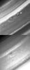
PIA01958:
-
Saturn's Northern Mid-latitudes
Full Resolution:
TIFF
(484.5 kB)
JPEG
(16.14 kB)
|
|
|
1999-04-25 |
Saturn
|
Voyager
|
VG ISS - Narrow Angle
|
810x540x3 |

|
-
PIA01959:
-
Voyager 2 Image of Saturn
Full Resolution:
TIFF
(473.1 kB)
JPEG
(31.58 kB)
|
|
|
1999-04-25 |
Saturn
|
Voyager
|
VG ISS - Narrow Angle
|
726x1680x1 |
|
-
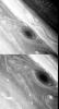
PIA01960:
-
Saturn's Northern Hemisphere
Full Resolution:
TIFF
(445.1 kB)
JPEG
(150.9 kB)
|
|
|
1999-04-25 |
Saturn
|
Voyager
|
VG ISS - Narrow Angle
|
320x410x3 |

|
-
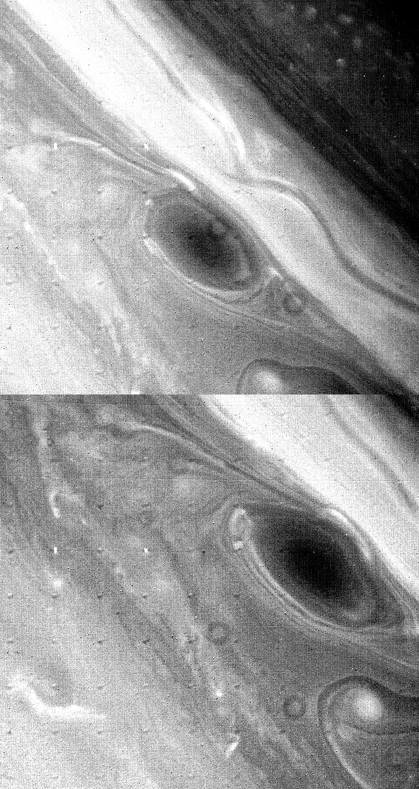
PIA01961:
-
Saturn's North Temperate Belt
Full Resolution:
TIFF
(206.8 kB)
JPEG
(21.24 kB)
|
|
|
1999-04-28 |
Saturn
|
Voyager
|
VG ISS - Narrow Angle
|
850x1600x1 |
|
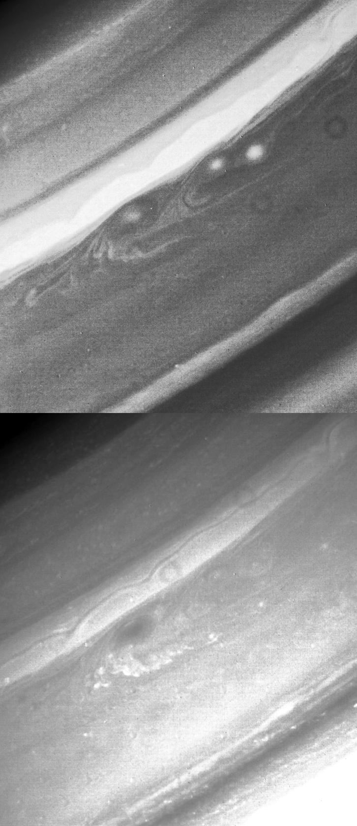
-
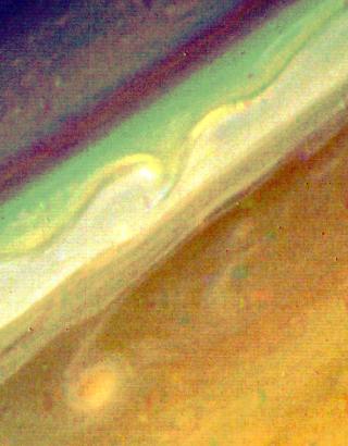
PIA01963:
-
Large Brown Spot in Saturn's Atmosphere
Full Resolution:
TIFF
(812.6 kB)
JPEG
(434.7 kB)
|
|
|
1999-05-01 |
Earth
|
Spaceborne Imaging Radar-C/X-Band Synthetic Aperture Radar
|
|
639x697x3 |
|
-
PIA01725:
-
Space Radar Image of Niya ruins, Taklamakan Desert
Full Resolution:
TIFF
(1.656 MB)
JPEG
(152.1 kB)
|
|
|
1999-05-01 |
Earth
|
Spaceborne Imaging Radar-C/X-Band Synthetic Aperture Radar
|
|
939x681x3 |
|
-
PIA01726:
-
Space Radar Image of the Silk route in Niya, Taklamak, China
Full Resolution:
TIFF
(1.161 MB)
JPEG
(154.4 kB)
|
|
|
1999-05-01 |
Earth
|
Spaceborne Imaging Radar-C/X-Band Synthetic Aperture Radar
|
|
944x1025x3 |
|
-
PIA01727:
-
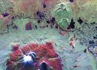
Space Radar Image of Mt. Rainer, Washington
Full Resolution:
TIFF
(3.674 MB)
JPEG
(417 kB)
|
|
|
1999-05-01 |
Earth
|
Spaceborne Imaging Radar-C/X-Band Synthetic Aperture Radar
|
|
840x2700x3 |

|
-
PIA01728:
-
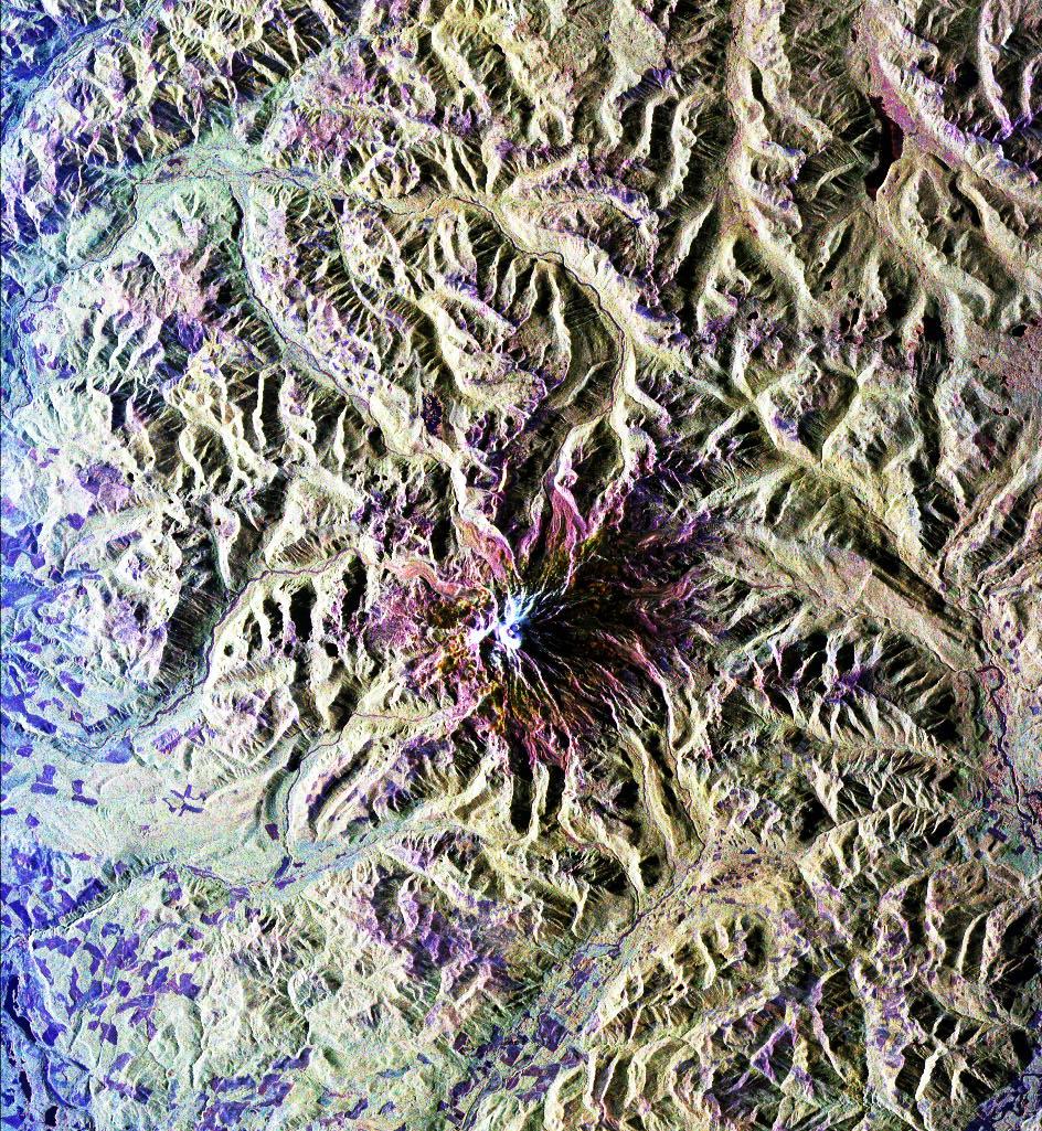
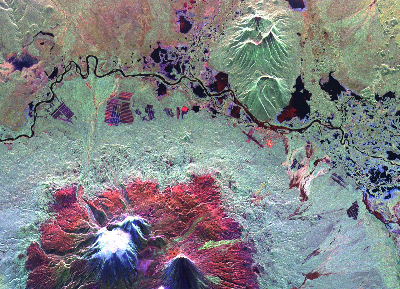
Space Radar Image of Kliuchevskoi, Russia
Full Resolution:
TIFF
(7.941 MB)
JPEG
(639.3 kB)
|
|
|
1999-05-01 |
Earth
|
Spaceborne Imaging Radar-C/X-Band Synthetic Aperture Radar
|
|
1301x1247x3 |
|
-
PIA01730:
-
Space Radar Image of Raco, Michigan
Full Resolution:
TIFF
(5.543 MB)
JPEG
(823.6 kB)
|
|
|
1999-05-01 |
Earth
|
Spaceborne Imaging Radar-C/X-Band Synthetic Aperture Radar
|
|
1280x924x3 |
|
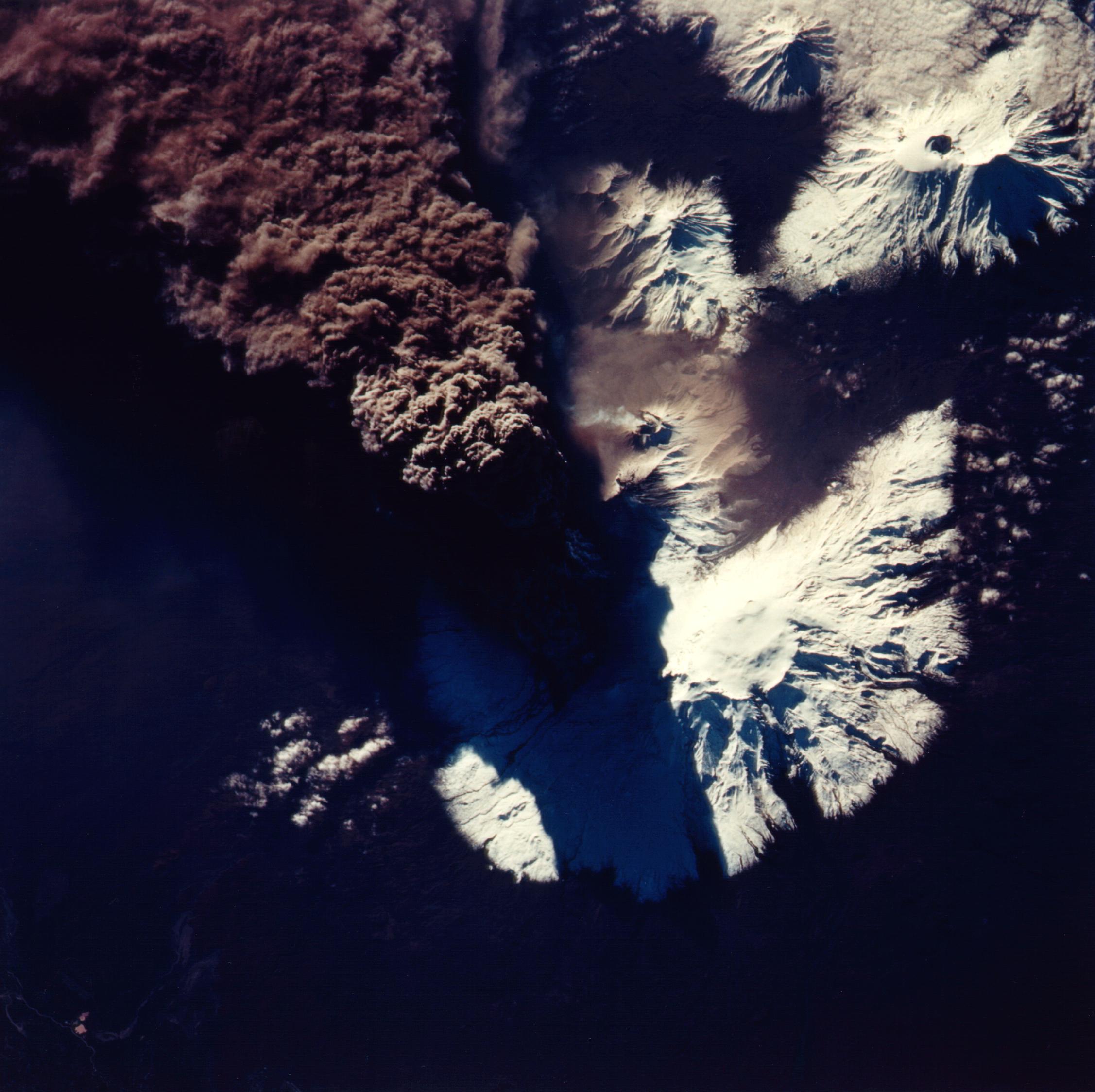
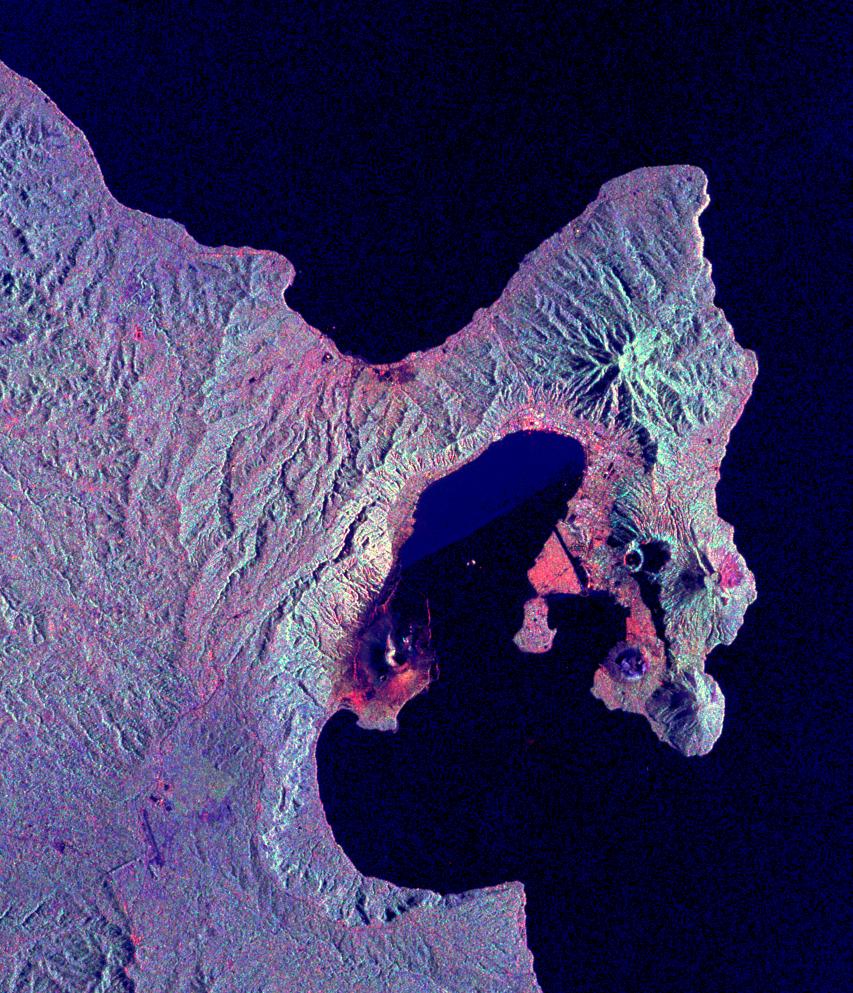
-
PIA01731:
-
Space Radar Image of Kliuchevskoi Volcano, Russia
Full Resolution:
TIFF
(4.456 MB)
JPEG
(376.7 kB)
|
|
|
1999-05-01 |
Earth
|
Spaceborne Imaging Radar-C/X-Band Synthetic Aperture Radar
|
|
1211x1025x3 |
|
-
PIA01732:
-
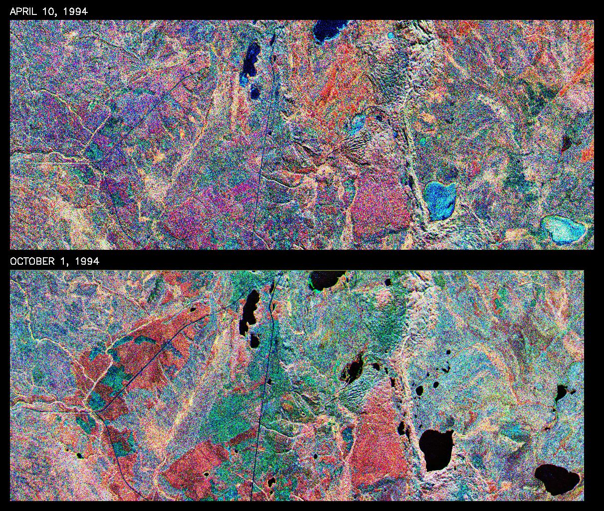
Space Radar Image of Prince Albert, Canada, Seasonal
Full Resolution:
TIFF
(3.306 MB)
JPEG
(655.6 kB)
|
|
|
1999-05-01 |
Earth
|
Spaceborne Imaging Radar-C/X-Band Synthetic Aperture Radar
|
|
1251x2734x3 |

|
-
PIA01733:
-
Space Radar Image of Bebedauro, Brazil, Seasonal
Full Resolution:
TIFF
(13.31 MB)
JPEG
(1.278 MB)
|
|
|
1999-05-01 |
Earth
|
Spaceborne Imaging Radar-C/X-Band Synthetic Aperture Radar
|
|
911x2119x3 |

|
-
PIA01734:
-
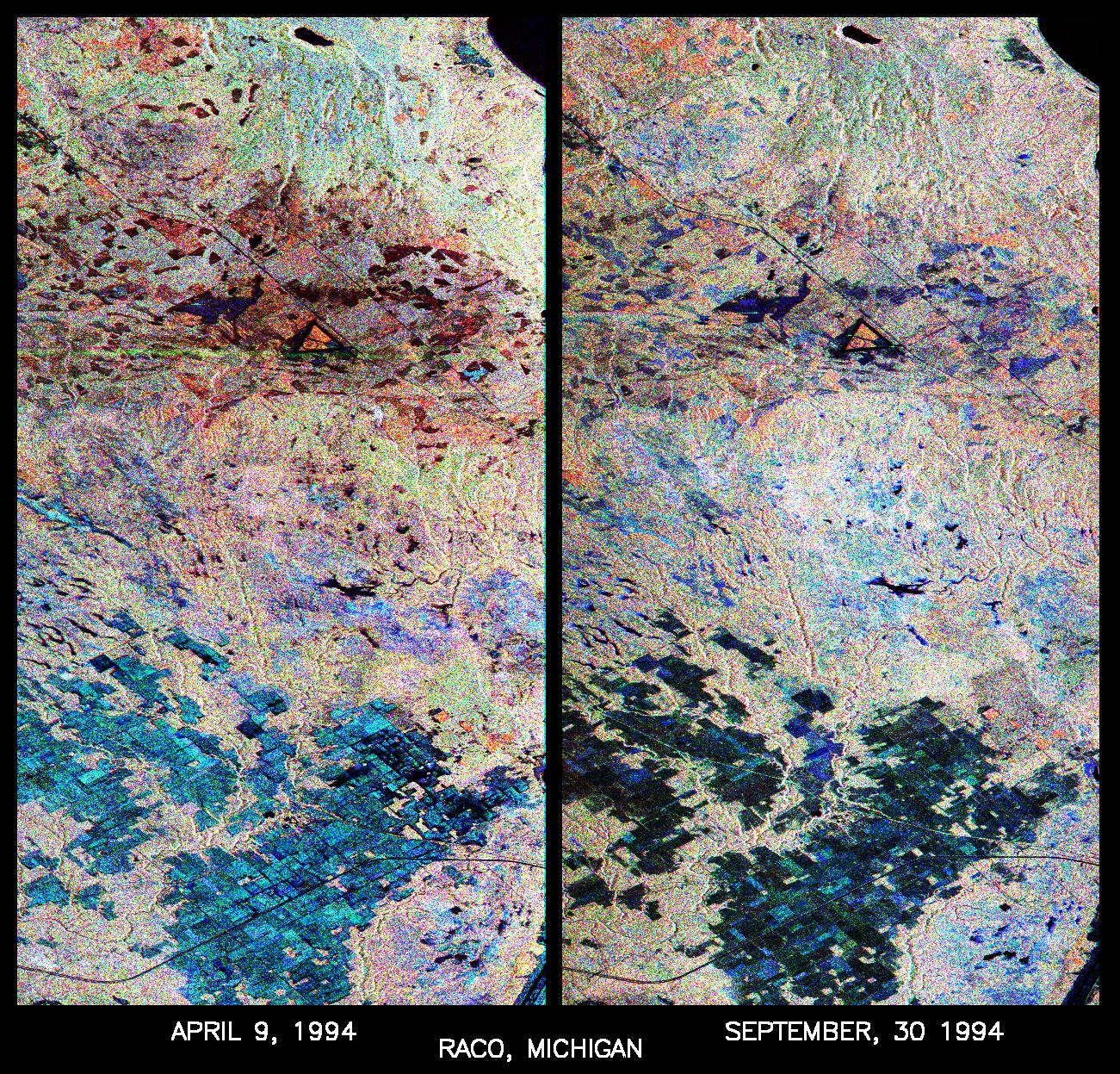
Space Radar Image of Raco, Michigan, Ecological Test Site
Full Resolution:
TIFF
(7.256 MB)
JPEG
(711.6 kB)
|
|
|
1999-05-01 |
Earth
|
Spaceborne Imaging Radar-C/X-Band Synthetic Aperture Radar
|
|
1024x750x3 |
|
-
PIA01741:
-
Space Radar Image of Yellowstone Park, Wyoming
Full Resolution:
TIFF
(971 kB)
JPEG
(238.3 kB)
|
|
|
1999-05-01 |
Earth
|
Spaceborne Imaging Radar-C/X-Band Synthetic Aperture Radar
|
|
1361x2890x3 |
|
-
PIA01742:
-
Space Radar Image of Altona, Manitoba, Canada
Full Resolution:
TIFF
(15.66 MB)
JPEG
(1.866 MB)
|
|
|
1999-05-01 |
Earth
|
Spaceborne Imaging Radar-C/X-Band Synthetic Aperture Radar
|
|
1392x1152x3 |
|
-
PIA01743:
-
Space Radar Image of Mount Pinatubo Volcano, Philippines
Full Resolution:
TIFF
(5.52 MB)
JPEG
(557.3 kB)
|
|
|
1999-05-01 |
Earth
|
Spaceborne Imaging Radar-C/X-Band Synthetic Aperture Radar
|
|
1020x1020x3 |
|
-
PIA01744:
-
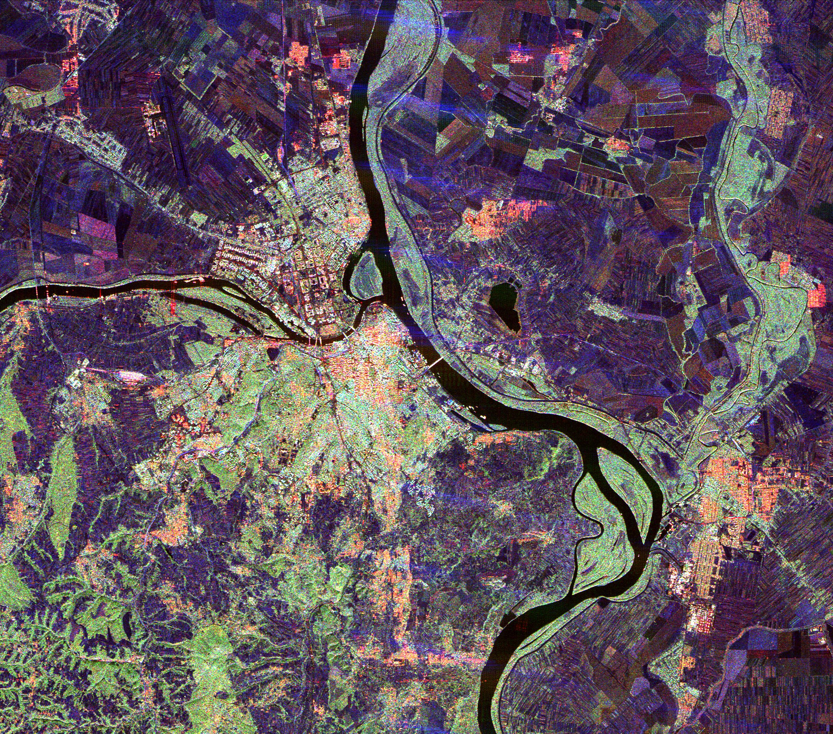
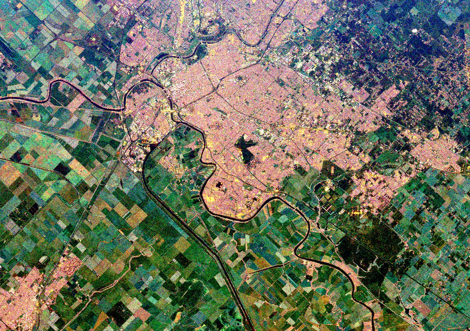
Space Radar Image of Missouri River, Glasgow, Missouri
Full Resolution:
TIFF
(4.106 MB)
JPEG
(495.2 kB)
|
|
|
1999-05-01 |
Earth
|
Spaceborne Imaging Radar-C/X-Band Synthetic Aperture Radar
|
|
864x1322x3 |
|
-
PIA01746:
-
Space Radar Image of Mammoth Mountain, California
Full Resolution:
TIFF
(4.439 MB)
JPEG
(532.5 kB)
|
|
|
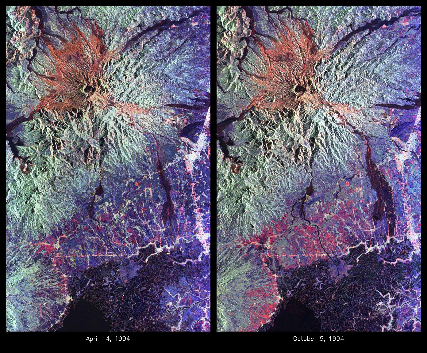
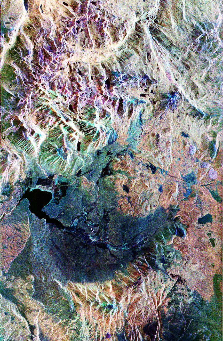
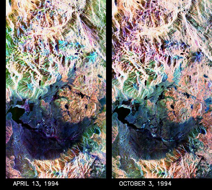
1999-05-01 |
Earth
|
Spaceborne Imaging Radar-C/X-Band Synthetic Aperture Radar
|
|
1383x1540x3 |
|
-
PIA01749:
-
space Radar Image of Long Valley, California
Full Resolution:
TIFF
(1.895 MB)
JPEG
(566.1 kB)
|
|
|
1999-05-01 |
Earth
|
Spaceborne Imaging Radar-C/X-Band Synthetic Aperture Radar
|
|
726x651x3 |
|
-
PIA01753:
-
Space Radar Image of Mammoth Mountain, California
Full Resolution:
TIFF
(1.476 MB)
JPEG
(190.3 kB)
|
|
|
1999-05-01 |
Earth
|
Spaceborne Imaging Radar-C/X-Band Synthetic Aperture Radar
|
|
2048x1365x3 |
|
-
PIA01754:
-
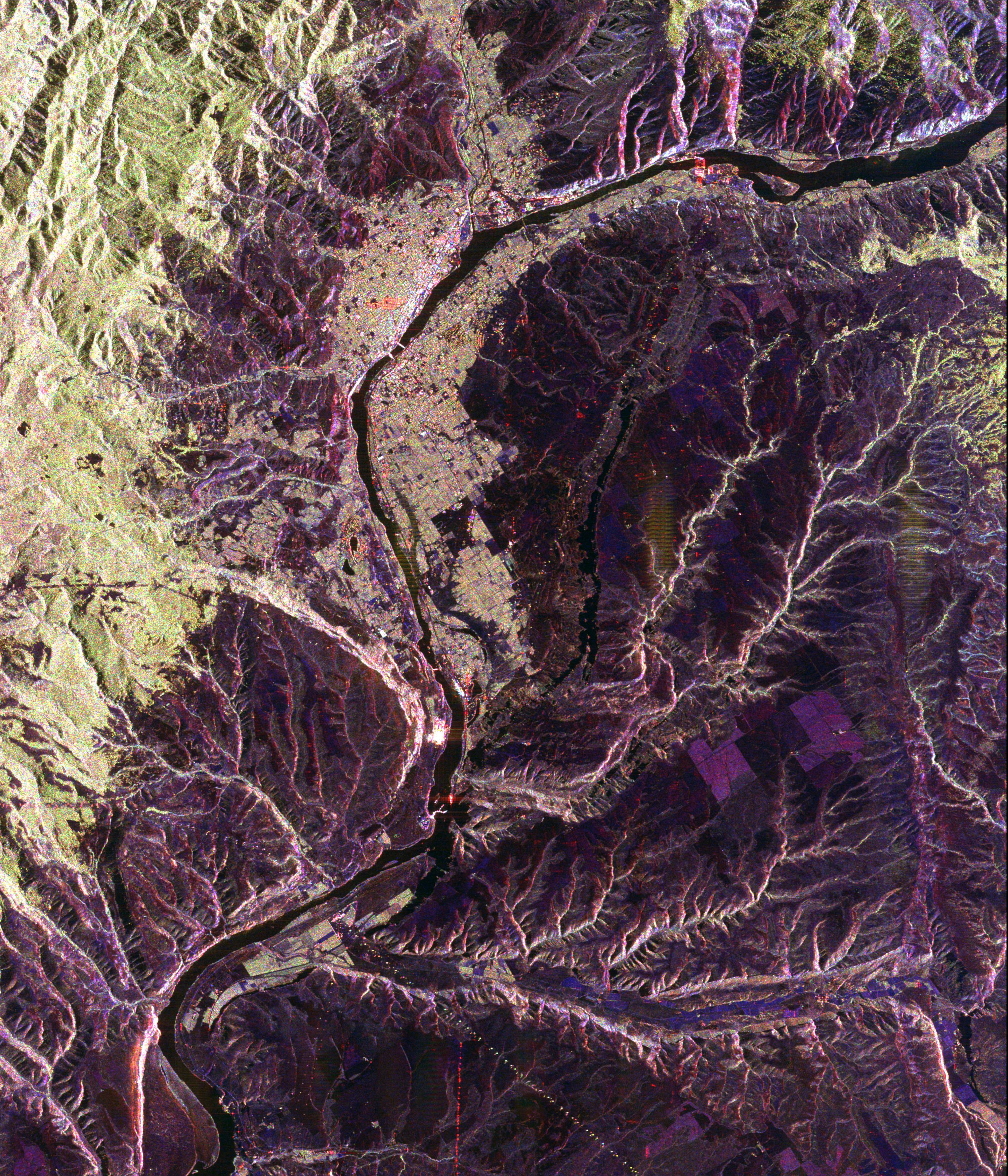
Space Radar Image of Baikal Lake, Russia
Full Resolution:
TIFF
(4.282 MB)
JPEG
(639.3 kB)
|
|
|
1999-05-01 |
Earth
|
Spaceborne Imaging Radar-C/X-Band Synthetic Aperture Radar
|
|
2000x1500x3 |

|
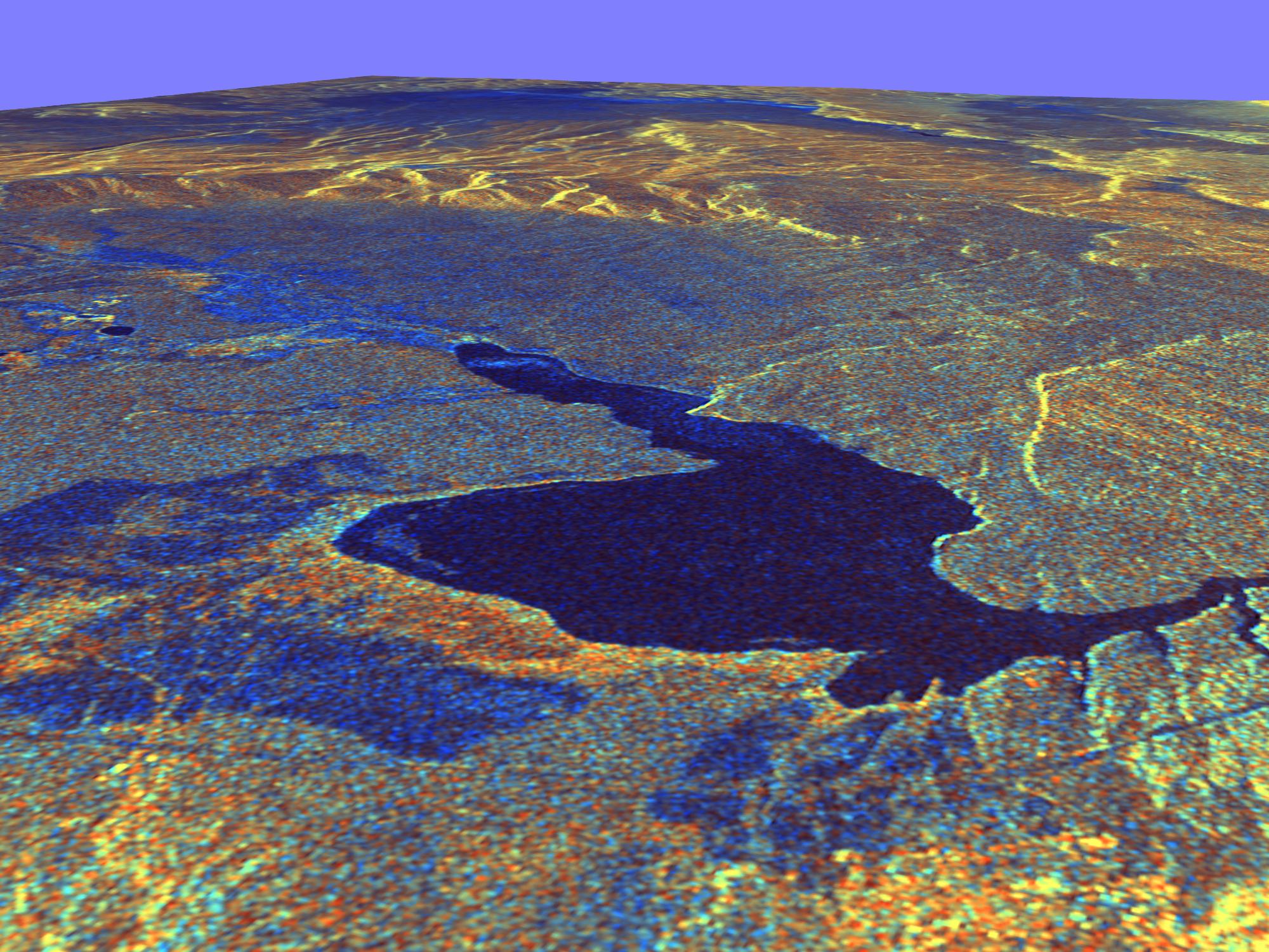
-
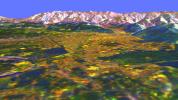
PIA01757:
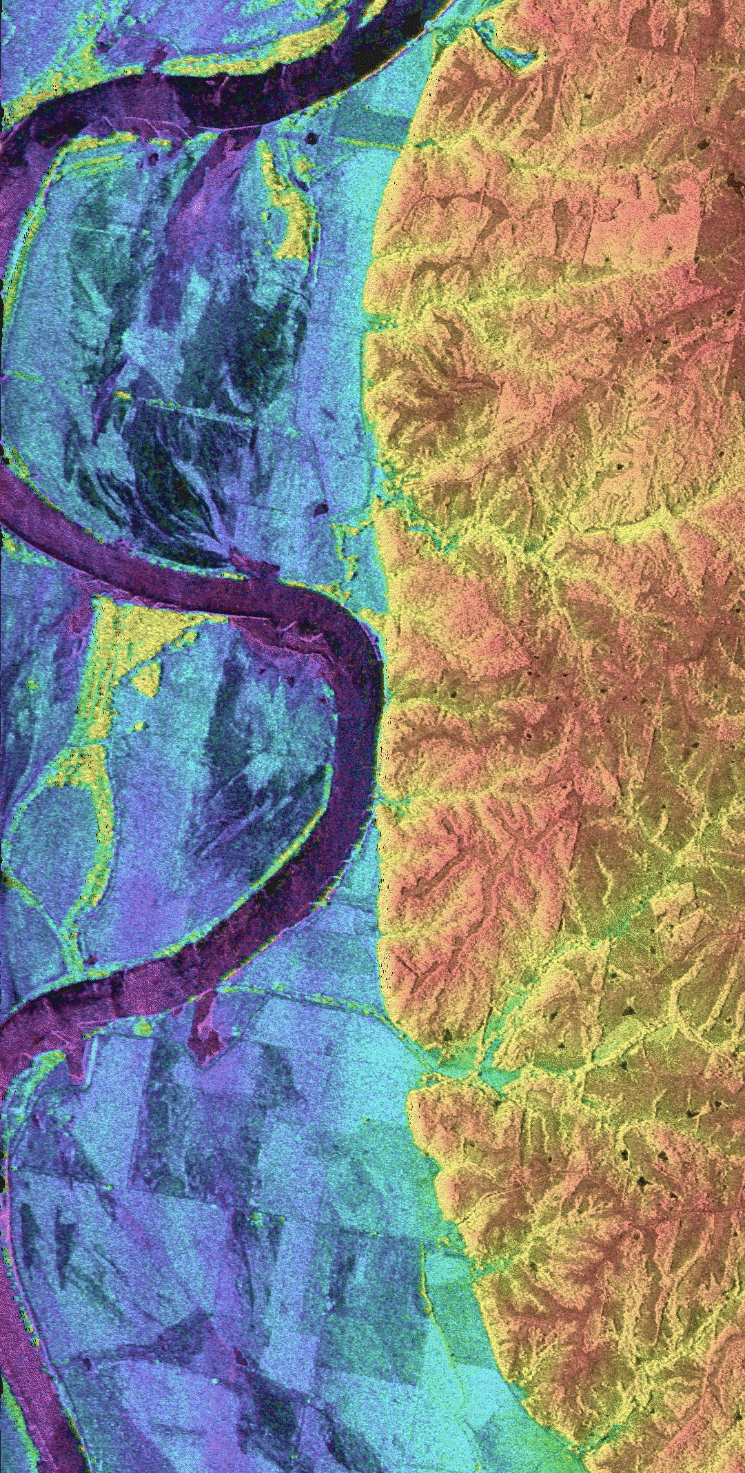
-
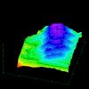
Space Radar Image of Long Valley, California - 3-D view
Full Resolution:
TIFF
(11.24 MB)
JPEG
(448.6 kB)
|
|
|
1999-05-01 |
Earth
|
Spaceborne Imaging Radar-C/X-Band Synthetic Aperture Radar
|
|
914x1818x3 |
|
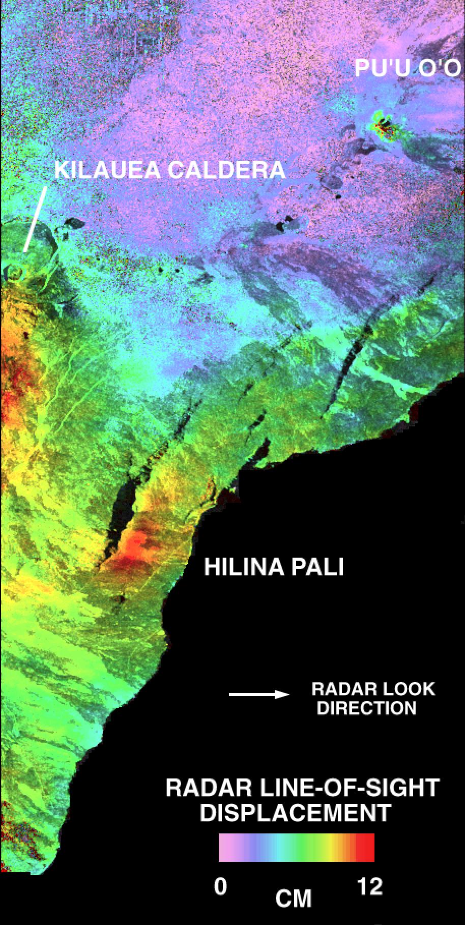
-
PIA01758:
-
Space Radar Image of Kilauea Volcano, Hawaii
Full Resolution:
TIFF
(2.381 MB)
JPEG
(321 kB)
|
|
|
1999-05-01 |
Earth
|
Spaceborne Imaging Radar-C/X-Band Synthetic Aperture Radar
|
|
1101x900x3 |
|
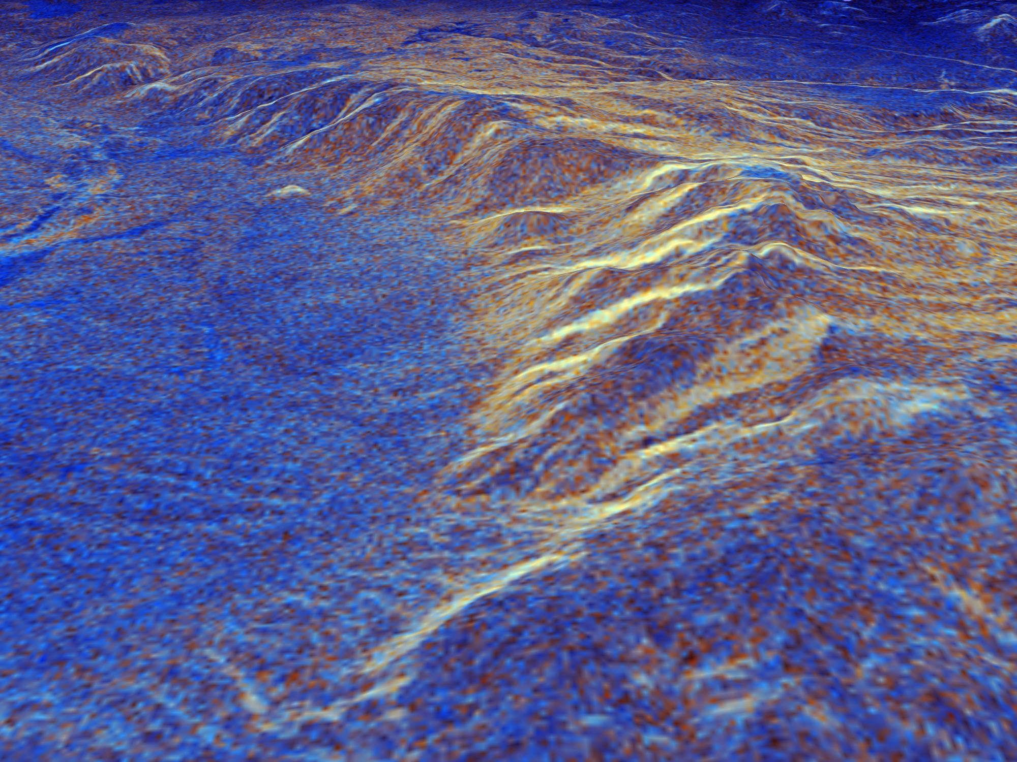
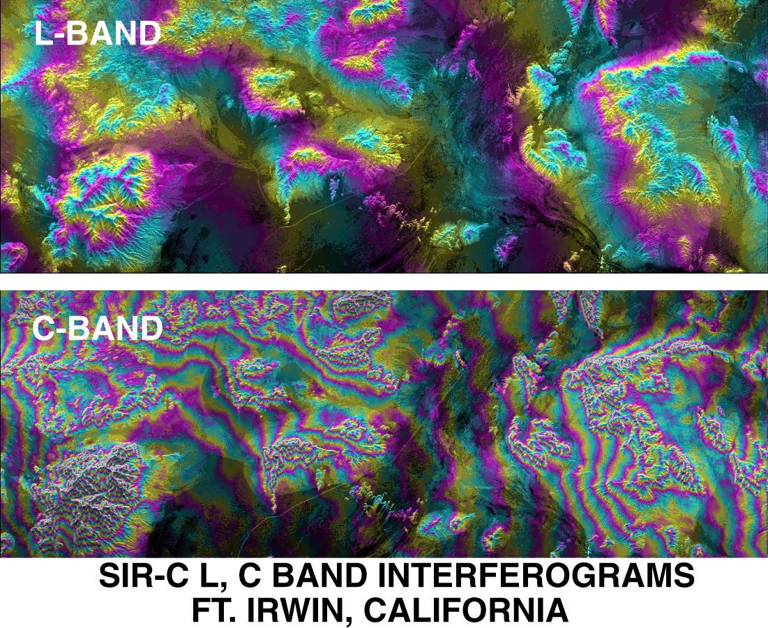
-
PIA01759:
-
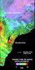
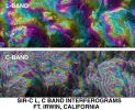
SPace Radar Image of Fort Irwin, California
Full Resolution:
TIFF
(1.509 MB)
JPEG
(296.8 kB)
|
|
|
1999-05-01 |
Earth
|
Spaceborne Imaging Radar-C/X-Band Synthetic Aperture Radar
|
|
2290x1727x3 |
|
-
PIA01760:
-
Space Radar Image of Oetzal, Austria
Full Resolution:
TIFF
(13.96 MB)
JPEG
(1.09 MB)
|
|
|
1999-05-01 |
Earth
|
Spaceborne Imaging Radar-C/X-Band Synthetic Aperture Radar
|
|
1024x1024x3 |
|
-
PIA01761:
-
Space Radar Image of Kilauea Volcano, Hawaii
Full Resolution:
TIFF
(512.9 kB)
JPEG
(92.05 kB)
|
|
|
1999-05-01 |
Earth
|
Spaceborne Imaging Radar-C/X-Band Synthetic Aperture Radar
|
|
1024x1024x3 |
|
-
PIA01762:
-
Space Radar Image of Kilauea, Hawaii
Full Resolution:
TIFF
(2.69 MB)
JPEG
(520.1 kB)
|
|
|
1999-05-01 |
Earth
|
Spaceborne Imaging Radar-C/X-Band Synthetic Aperture Radar
|
|
740x2035x3 |

|
-
PIA01764:
-
Space Radar Image of Bahia
Full Resolution:
TIFF
(3.214 MB)
JPEG
(689 kB)
|
|
|
1999-05-01 |
Earth
|
Spaceborne Imaging Radar-C/X-Band Synthetic Aperture Radar
|
|
1202x835x3 |

|
-
PIA01765:
-
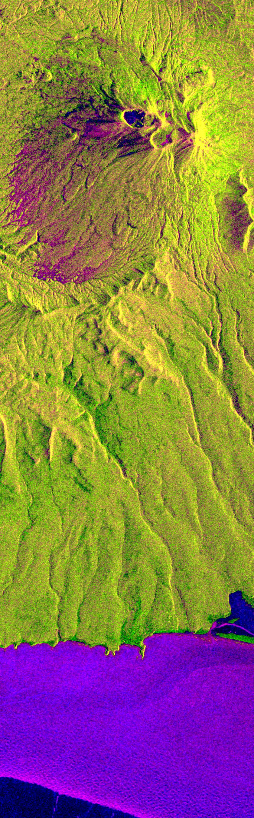
Space Radar Image of Kiluchevskoi, Volcano, Russia
Full Resolution:
TIFF
(3.894 MB)
JPEG
(401.4 kB)
|
|
|
1999-05-01 |
Earth
|
Spaceborne Imaging Radar-C/X-Band Synthetic Aperture Radar
|
|
2254x2248x3 |
|
-
PIA01766:
-
Space Radar Image of Kliuchevskoi Volcano,Russia
Full Resolution:
TIFF
(10.81 MB)
JPEG
(406 kB)
|
|
|
1999-05-01 |
Earth
|
Spaceborne Imaging Radar-C/X-Band Synthetic Aperture Radar
|
|
853x993x3 |
|
-
PIA01767:
-
Space Radar Image of Rabaul Volcano, New Guinea
Full Resolution:
TIFF
(2.166 MB)
JPEG
(198.8 kB)
|
|
|
1999-05-01 |
Earth
|
Spaceborne Imaging Radar-C/X-Band Synthetic Aperture Radar
|
|
2000x1500x3 |

|
-
PIA01769:
-
Space Radar Image of Long Valley, California in 3-D
Full Resolution:
TIFF
(9.892 MB)
JPEG
(525.5 kB)
|
|
|
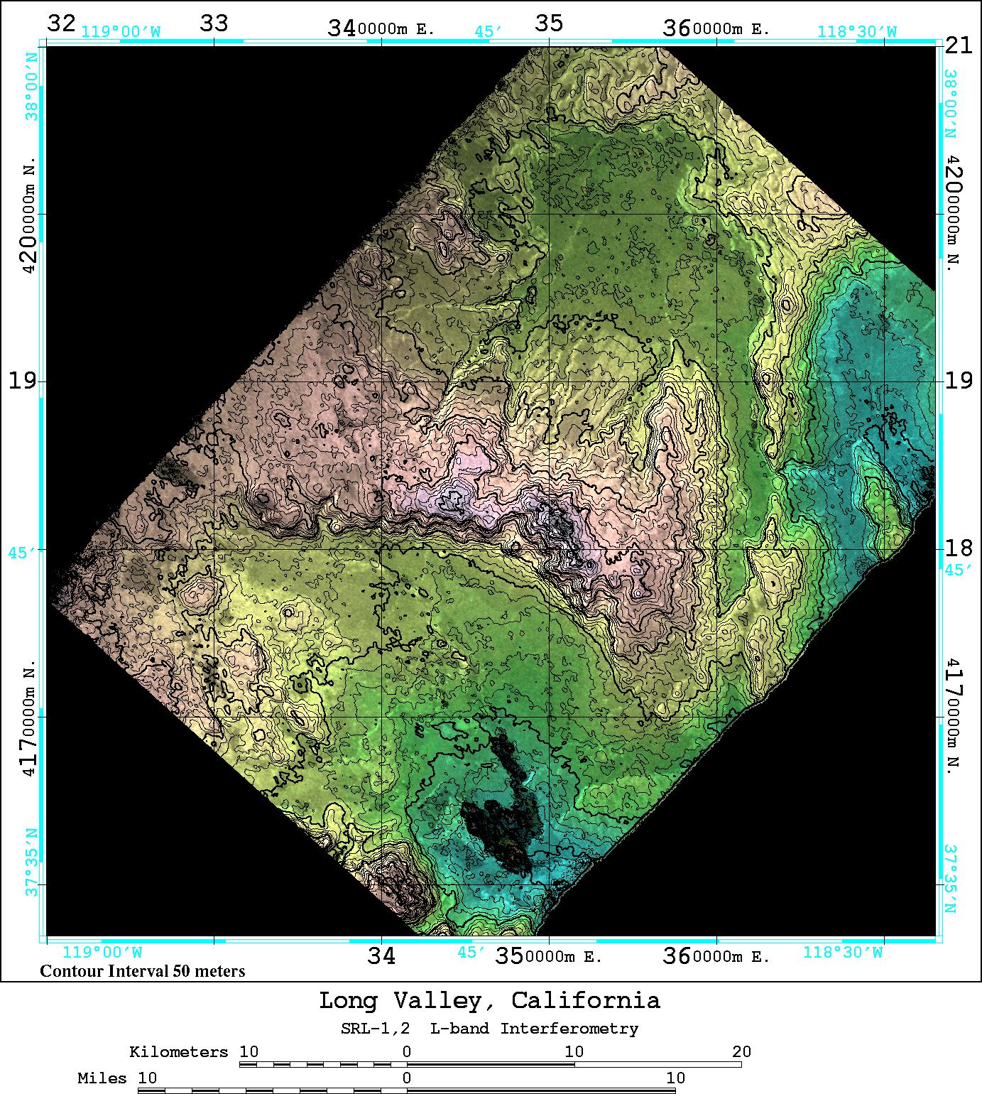
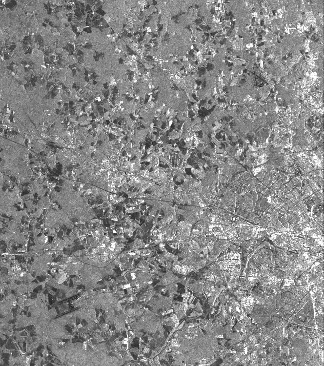
1999-05-01 |
Earth
|
Spaceborne Imaging Radar-C/X-Band Synthetic Aperture Radar
|
|
3300x2550x3 |
|
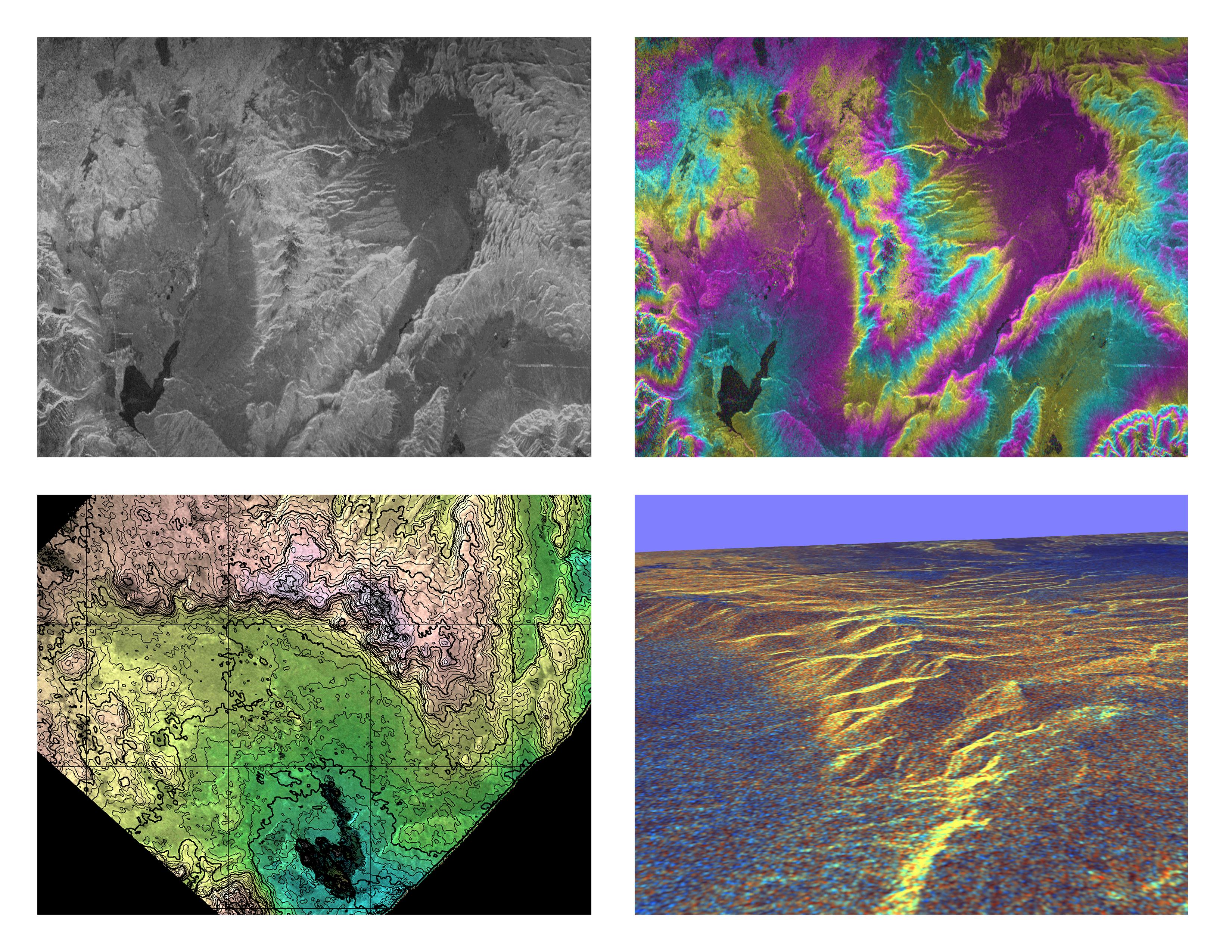
-
PIA01770:
-
Space Radar Image of Long Valley, California - Interferometry/Topography
Full Resolution:
TIFF
(18.96 MB)
JPEG
(1.504 MB)
|
|
|
1999-05-01 |
Earth
|
Spaceborne Imaging Radar-C/X-Band Synthetic Aperture Radar
|
|
1375x892x1 |

|
-
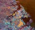
PIA01729:
-
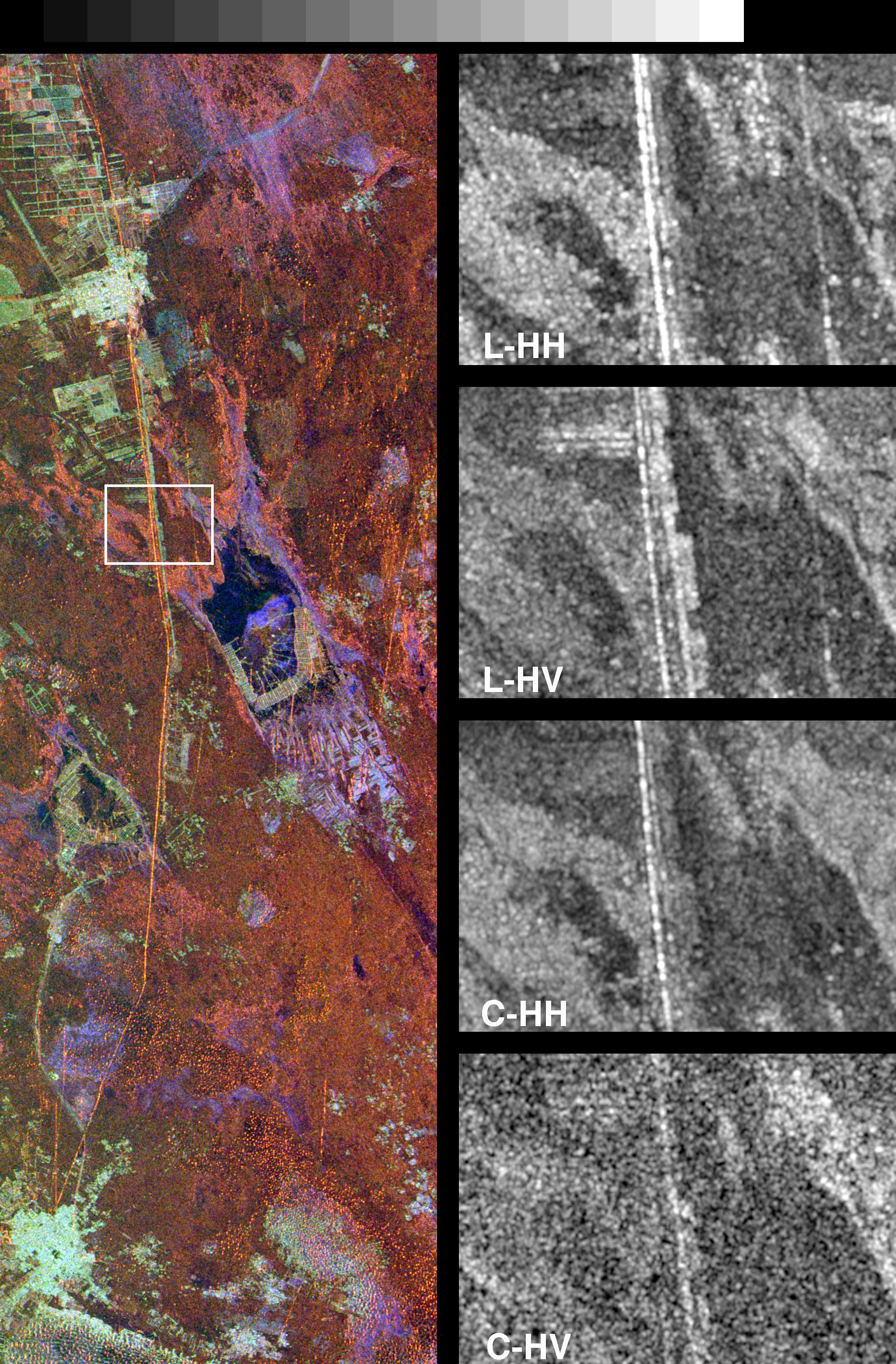
Space Radar Image of Chernobyl
Full Resolution:
TIFF
(1.478 MB)
JPEG
(399 kB)
|
|
|
1999-05-01 |
Earth
|
Spaceborne Imaging Radar-C/X-Band Synthetic Aperture Radar
|
|
1020x1020x1 |
|
-
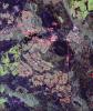
PIA01745:
-
Space Radar Image of Glascow, Missouri
Full Resolution:
TIFF
(1.311 MB)
JPEG
(408.7 kB)
|
|
|
1999-05-01 |
Earth
|
Spaceborne Imaging Radar-C/X-Band Synthetic Aperture Radar
|
|
1840x2750x1 |
|
-
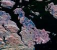
PIA01748:
-
Space Radar Image of North Sea, Germany
Full Resolution:
TIFF
(5.621 MB)
JPEG
(2.262 MB)
|
|
|
1999-05-01 |
Earth
|
Spaceborne Imaging Radar-C/X-Band Synthetic Aperture Radar
|
|
2000x3000x1 |
|
-
PIA01750:
-
Space Radar Image of Hong Kong, China
Full Resolution:
TIFF
(6.07 MB)
JPEG
(1.256 MB)
|
|
|
1999-05-01 |
Earth
|
Spaceborne Imaging Radar-C/X-Band Synthetic Aperture Radar
|
|
692x1024x1 |
|
-
PIA01751:
-
Space Radar Image of San Francisco, California
Full Resolution:
TIFF
(732.2 kB)
JPEG
(182.2 kB)
|
|
|
1999-05-01 |
Earth
|
Spaceborne Imaging Radar-C/X-Band Synthetic Aperture Radar
|
|
664x750x1 |
|
-
PIA01752:
-
Space Radar Image of Moscow, Russia
Full Resolution:
TIFF
(597.2 kB)
JPEG
(164.4 kB)
|
|
|
1999-05-01 |
Earth
|
Spaceborne Imaging Radar-C/X-Band Synthetic Aperture Radar
|
X-Band Radar
|
1840x2760x1 |
|
-
PIA01756:
-
Space Radar Image of Kennedy Space Center, Florida
Full Resolution:
TIFF
(5.548 MB)
JPEG
(1.394 MB)
|
|
|
1999-05-01 |
Earth
|
Spaceborne Imaging Radar-C/X-Band Synthetic Aperture Radar
|
X-Band Radar
|
1024x1024x1 |

|
-
PIA01763:
-
Space Radar Image of Kilauea, Hawaii - Interferometry 1
Full Resolution:
TIFF
(804.8 kB)
JPEG
(400 kB)
|
|
|
1999-05-01 |
Earth
|
Spaceborne Imaging Radar-C/X-Band Synthetic Aperture Radar
|
|
406x1000x3 |

|
-
PIA01755:
-
Space Radar Image of Lozere Department, Mende, France
Full Resolution:
TIFF
(1.565 MB)
JPEG
(161.6 kB)
|
|
|
1999-05-01 |
Earth
|
Spaceborne Imaging Radar-C/X-Band Synthetic Aperture Radar
|
|
788x983x3 |
|
-
PIA01735:
-
Space Radar Image of Manaus, Brazil
Full Resolution:
TIFF
(2.568 MB)
JPEG
(245.6 kB)
|
|
|
1999-05-01 |
Earth
|
Spaceborne Imaging Radar-C/X-Band Synthetic Aperture Radar
|
|
916x807x3 |
|
-
PIA01736:
-
Space Radar Image of Karisoke & Virunga Volcanoes
Full Resolution:
TIFF
(2.857 MB)
JPEG
(375 kB)
|
|
|
1999-05-01 |
Earth
|
Spaceborne Imaging Radar-C/X-Band Synthetic Aperture Radar
|
|
756x2688x3 |

|
-
PIA01737:
-
Space Radar Image of Weddell Sea, Antarctica
Full Resolution:
TIFF
(8.193 MB)
JPEG
(1.143 MB)
|
|
|
1999-05-01 |
Earth
|
Spaceborne Imaging Radar-C/X-Band Synthetic Aperture Radar
|
|
692x1326x1 |
|
-
PIA01738:
-
Space Radar Image of Los Angeles, California
Full Resolution:
TIFF
(1.092 MB)
JPEG
(315.9 kB)
|
|
|
1999-05-01 |
Earth
|
Spaceborne Imaging Radar-C/X-Band Synthetic Aperture Radar
|
|
952x1000x3 |
|
-
PIA01739:
-
Space Radar Image of Colima Volcano, Jalisco, Mexico
Full Resolution:
TIFF
(3.012 MB)
JPEG
(502.5 kB)
|
|
|
1999-05-01 |
Earth
|
Spaceborne Imaging Radar-C/X-Band Synthetic Aperture Radar
|
|
1142x982x3 |
|
-
PIA01740:
-
Space Radar Image of Manaus Region of Brazil
Full Resolution:
TIFF
(1.705 MB)
JPEG
(359.3 kB)
|
|
|
1999-05-01 |
Earth
|
Spaceborne Imaging Radar-C/X-Band Synthetic Aperture Radar
|
|
2250x4500x3 |
|
-
PIA01768:
-
Space Radar Image of Taal Volcano, Philippines
Full Resolution:
TIFF
(32.45 MB)
JPEG
(3.934 MB)
|
|
|
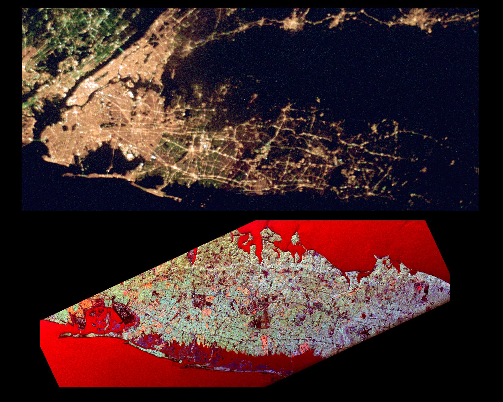
1999-05-01 |
Earth
|
Spaceborne Imaging Radar-C/X-Band Synthetic Aperture Radar
|
|
2000x1600x3 |
|
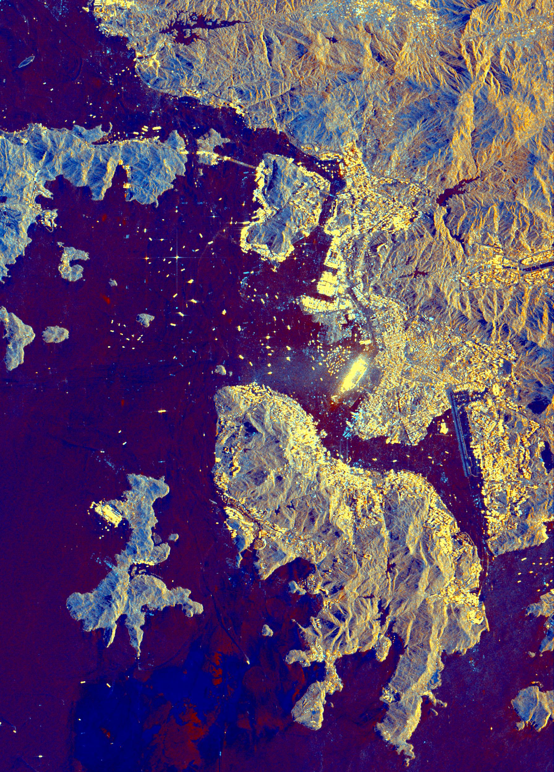
-
PIA01785:
-
Space Radar Image of Long Island Optical/Radar
Full Resolution:
TIFF
(6.044 MB)
JPEG
(483.5 kB)
|
|
|
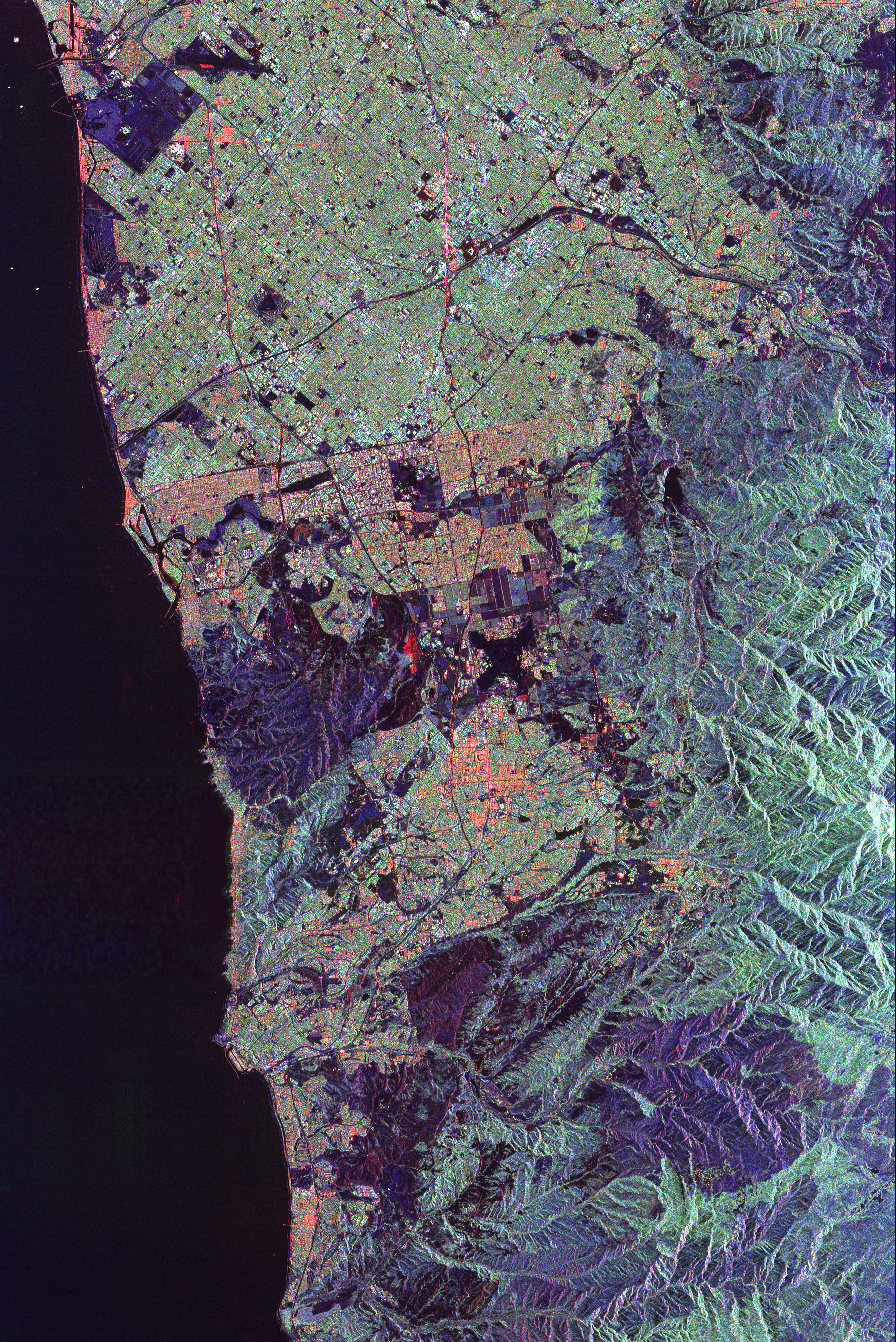
1999-05-01 |
Earth
|
Spaceborne Imaging Radar-C/X-Band Synthetic Aperture Radar
|
|
3536x5297x3 |
|
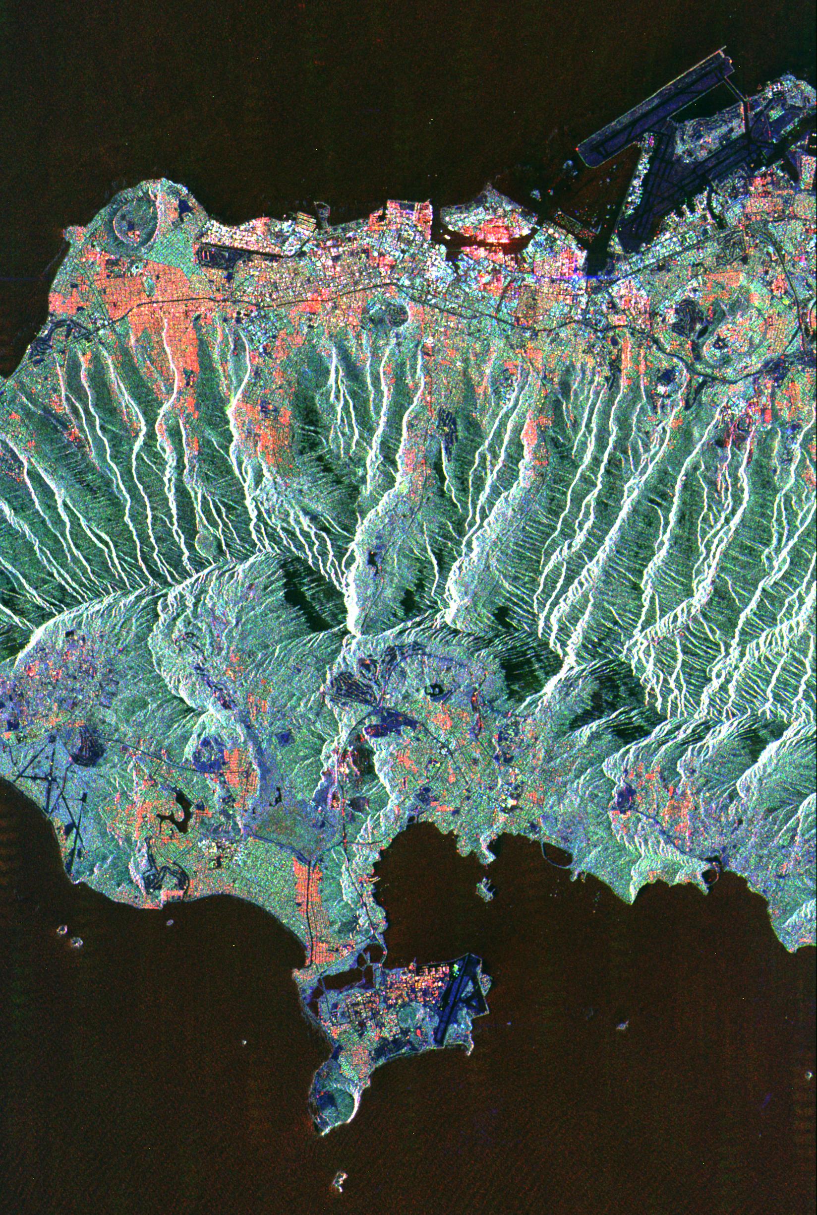
-
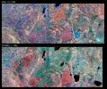
PIA01835:
-
Space Radar Image of Orange County, California (Annotated Version)
Full Resolution:
TIFF
(68.47 MB)
JPEG
(5.452 MB)
|
|
|
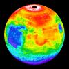
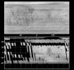
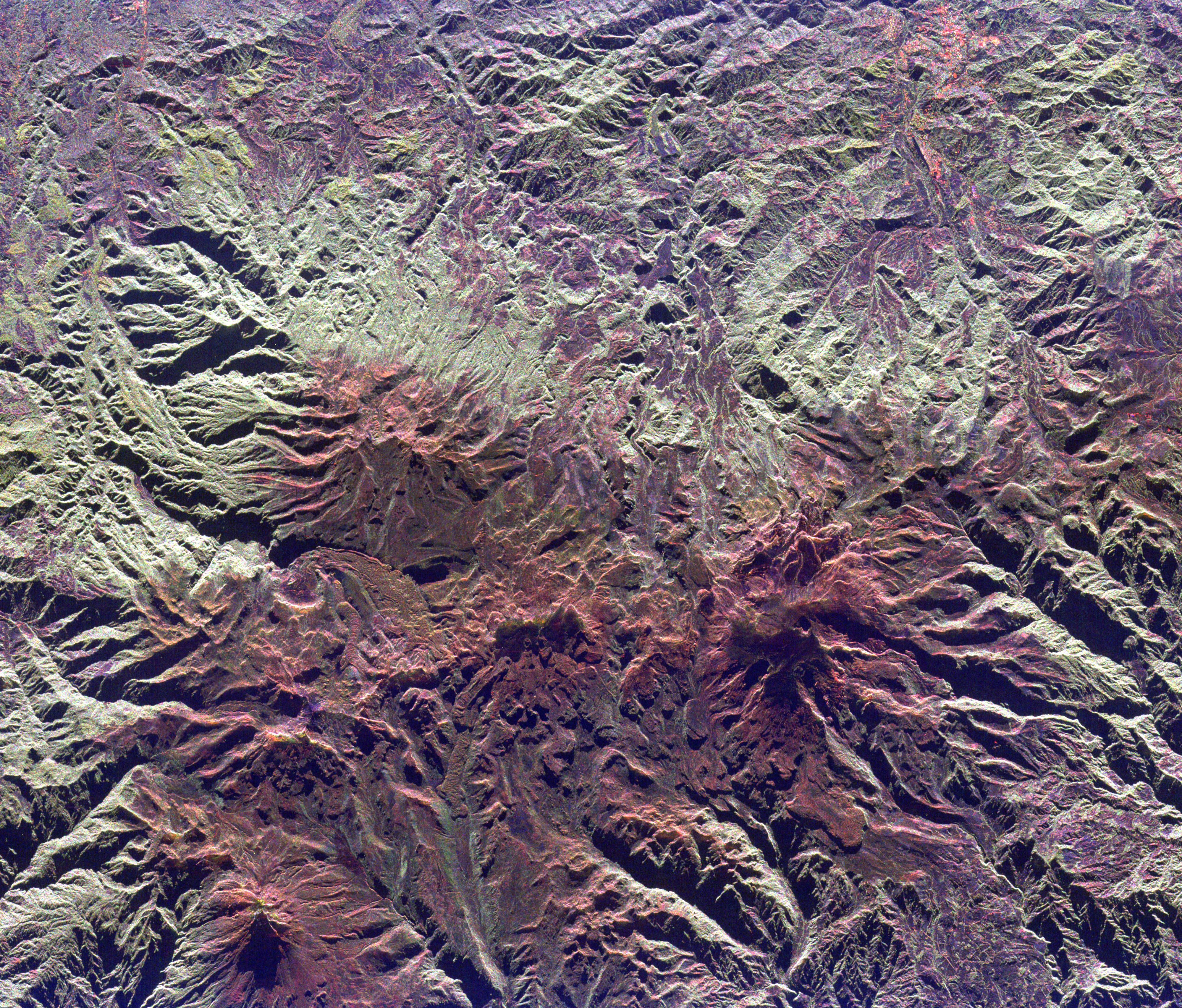
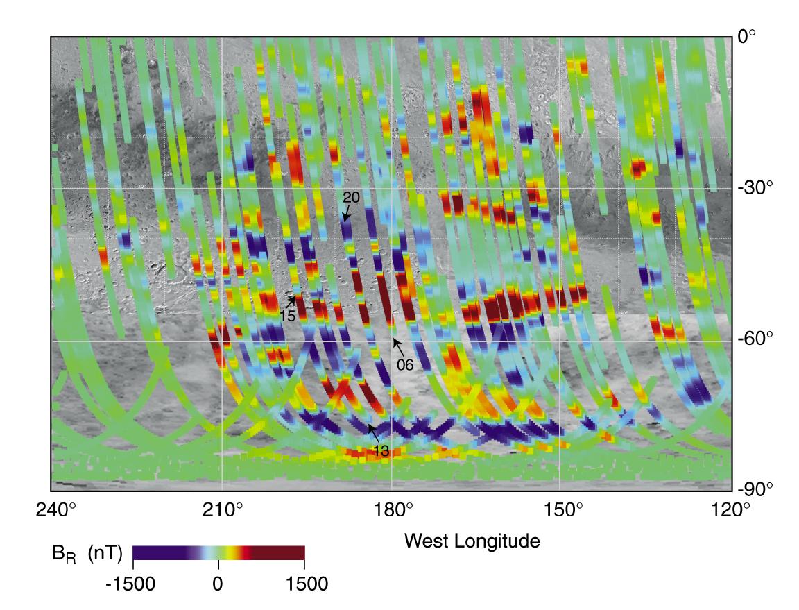
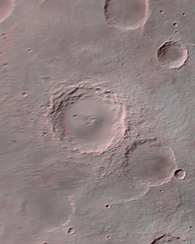
1999-05-03 |
Mars
|
Mars Global Surveyor (MGS)
|
Magnetometer
|
1152x879x3 |
|
-
PIA02008:
-
Magnetic Strips Preserve Record of Ancient Mars
Full Resolution:
TIFF
(1.369 MB)
JPEG
(147.9 kB)
|
|
|
1999-05-04 |
Mars
|
Mars Global Surveyor (MGS)
|
Mars Orbiter Camera (MOC)
|
672x1330x1 |
|
-
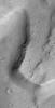
PIA02012:
-
Lower Northeastern Flank of Tyrrhena Patera
Full Resolution:
TIFF
(903.5 kB)
JPEG
(153.2 kB)
|
|
|
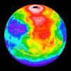
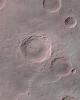
1999-05-06 |
Mars
|
Mars Global Surveyor (MGS)
|
Thermal Emission Spectrometer
|
2362x1667x3 |
|
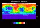
-
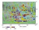
PIA02014:
-
Temperature of the Martian Surface
Full Resolution:
TIFF
(1.195 MB)
JPEG
(434.8 kB)
|
|
|
1999-05-06 |
Mars
|
Mars Global Surveyor (MGS)
|
Thermal Emission Spectrometer
|
300x300x3 |
|
-
PIA02015:
-
Martian Temperatures Measured by the Thermal Emission Spectrometer (TES). Pathfinder Landing Aite View
Full Resolution:
TIFF
(32.88 kB)
JPEG
(23.63 kB)
|
|
|
1999-05-06 |
Mars
|
Mars Global Surveyor (MGS)
|
Thermal Emission Spectrometer
|
300x300x3 |
|
-
PIA02016:
-
Martian Temperatures Measured by the Thermal Emission Spectrometer (TES). Isidis Planitia View
Full Resolution:
TIFF
(30.37 kB)
JPEG
(23.21 kB)
|
|
|
1999-05-06 |
Saturn
|
Voyager
|
VG ISS - Narrow Angle
|
850x820x3 |
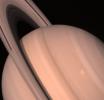
|
-
PIA01966:
-
Saturn and its Ring System
Full Resolution:
TIFF
(1.48 MB)
JPEG
(33.66 kB)
|
|
|
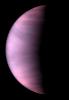
1999-05-08 |
Uranus
|
Voyager
|
|
923x963x3 |
|
-
PIA01535:
-
Uranus' Atmosphere
Full Resolution:
TIFF
(2.239 MB)
JPEG
(80.86 kB)
|
|
|
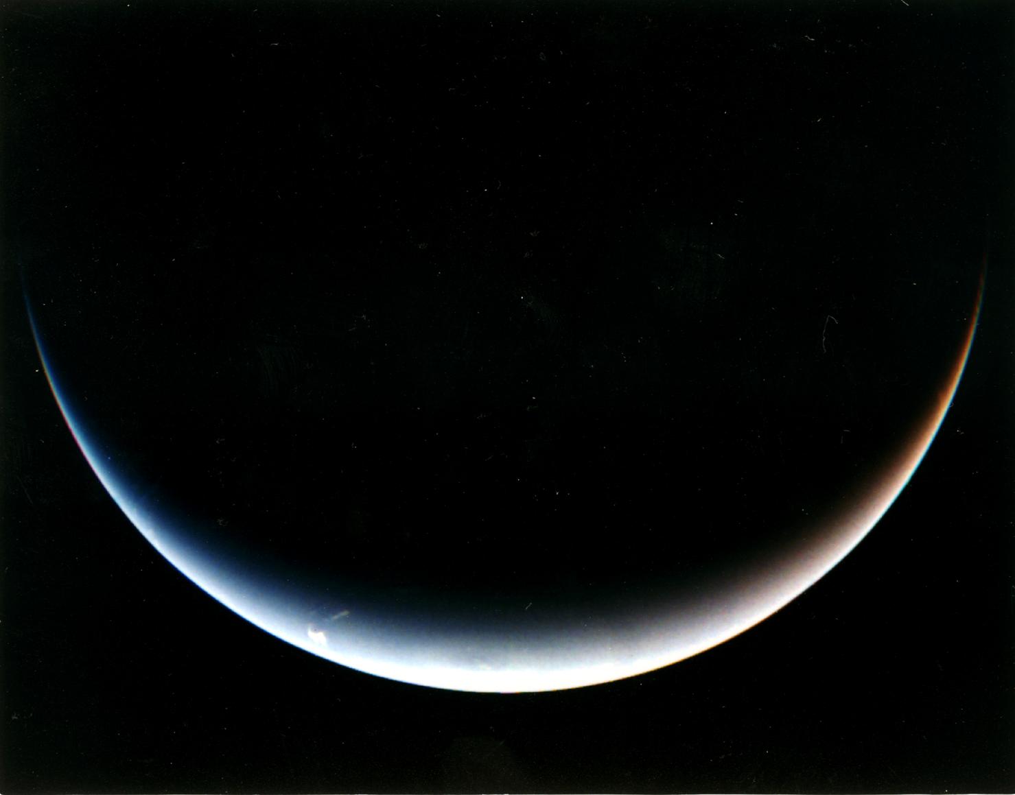
1999-05-08 |
Neptune
|
Voyager
|
|
1479x1159x3 |

|
-
PIA01539:
-
Post-encounter View of Neptune's South Pole
Full Resolution:
TIFF
(1.882 MB)
JPEG
(70.53 kB)
|
|
|
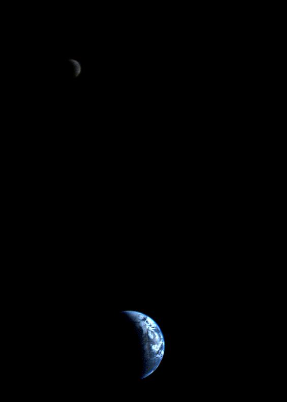
1999-05-15 |
Earth
|
Voyager
|
VG ISS - Narrow Angle
|
565x790x3 |

|
-
PIA01967:
-
Crescent-shaped Earth and Moon
Full Resolution:
TIFF
(48.38 kB)
JPEG
(9.77 kB)
|
|
|
1999-05-17 |
Mars
|
Mars Global Surveyor (MGS)
|
Mars Orbiter Camera (MOC)
|
1024x980x1 |
|
-
PIA02022:
-
The Geodesy Campaign
Full Resolution:
TIFF
(454.5 kB)
JPEG
(199 kB)
|
|
|
1999-05-17 |
Mars
|
Mars Global Surveyor (MGS)
|
Mars Orbiter Camera (MOC)
|
685x856x3 |
|
-
PIA02023:
-
The Geodesy Campaign
Full Resolution:
TIFF
(1.522 MB)
JPEG
(68.92 kB)
|
|
|
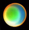
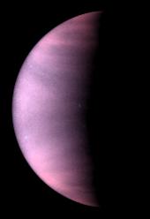
1999-05-18 |
Venus
|
Hubble Space Telescope
|
WFPC2
|
170x248x3 |
|
-
PIA01544:
-
Venus Cloud Tops Viewed by Hubble
Full Resolution:
TIFF
(48.41 kB)
JPEG
(3.494 kB)
|
|
|
1999-05-20 |
Mars
|
Mars Global Surveyor (MGS)
|
Mars Orbiter Camera (MOC)
|
640x480x3 |

|
-
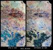
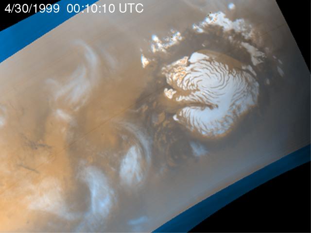
PIA02024:
-
Martian Storm 04/30/99
Full Resolution:
TIFF
(732.2 kB)
JPEG
(27.26 kB)
|
|
|
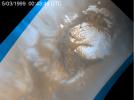
1999-05-20 |
Mars
|
Mars Global Surveyor (MGS)
|
Mars Orbiter Camera (MOC)
|
640x480x3 |
|
-
PIA02025:
-
Martian Storm 05/01/99
Full Resolution:
TIFF
(710.3 kB)
JPEG
(25.55 kB)
|
|
|
1999-05-20 |
Mars
|
Mars Global Surveyor (MGS)
|
Mars Orbiter Camera (MOC)
|
640x480x3 |
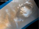
|
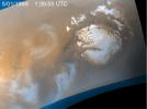
-
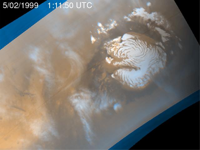
PIA02026:
-
Martian Storm 05/02/99
Full Resolution:
TIFF
(726.7 kB)
JPEG
(27.11 kB)
|
|
|
1999-05-20 |
Mars
|
Mars Global Surveyor (MGS)
|
Mars Orbiter Camera (MOC)
|
640x480x3 |
|
-
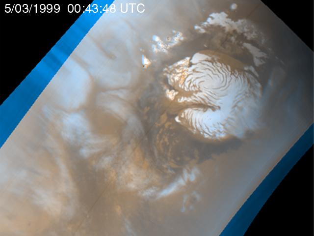
PIA02027:
-
Martian Storm 05/03/99
Full Resolution:
TIFF
(733.7 kB)
JPEG
(27.93 kB)
|


