|
Your search criteria found 19634 images Target is Sun |
| My List |
Addition Date | Target | Mission |
Instrument
|
Size |

|
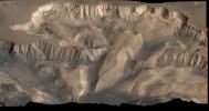
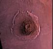
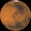
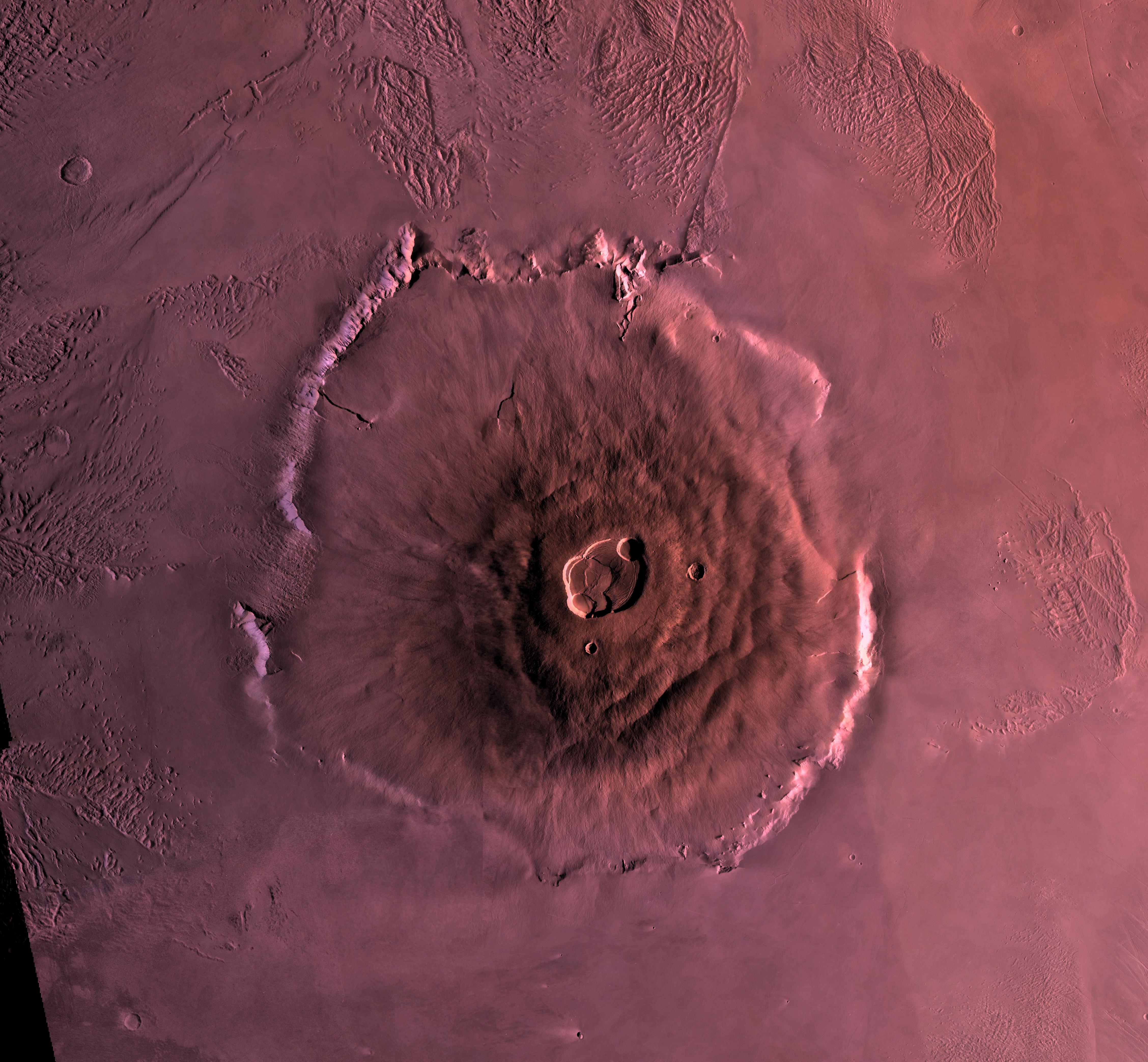
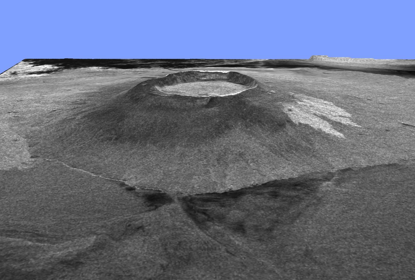
1996-06-03 | Mars |
Viking |
5114x2713x3 | |
|
|||||
|
|
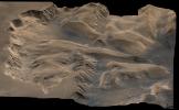
1996-06-03 | Mars |
Viking |
4710x2915x3 | |
|
|||||
|
|
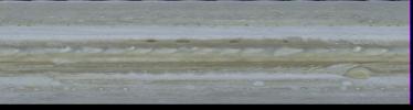
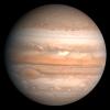
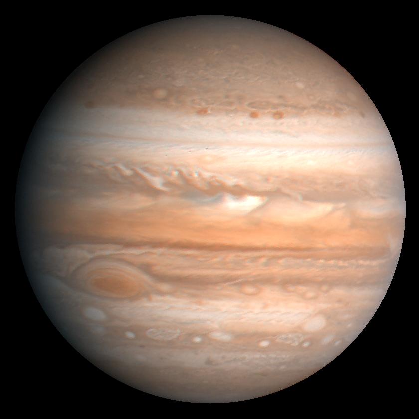
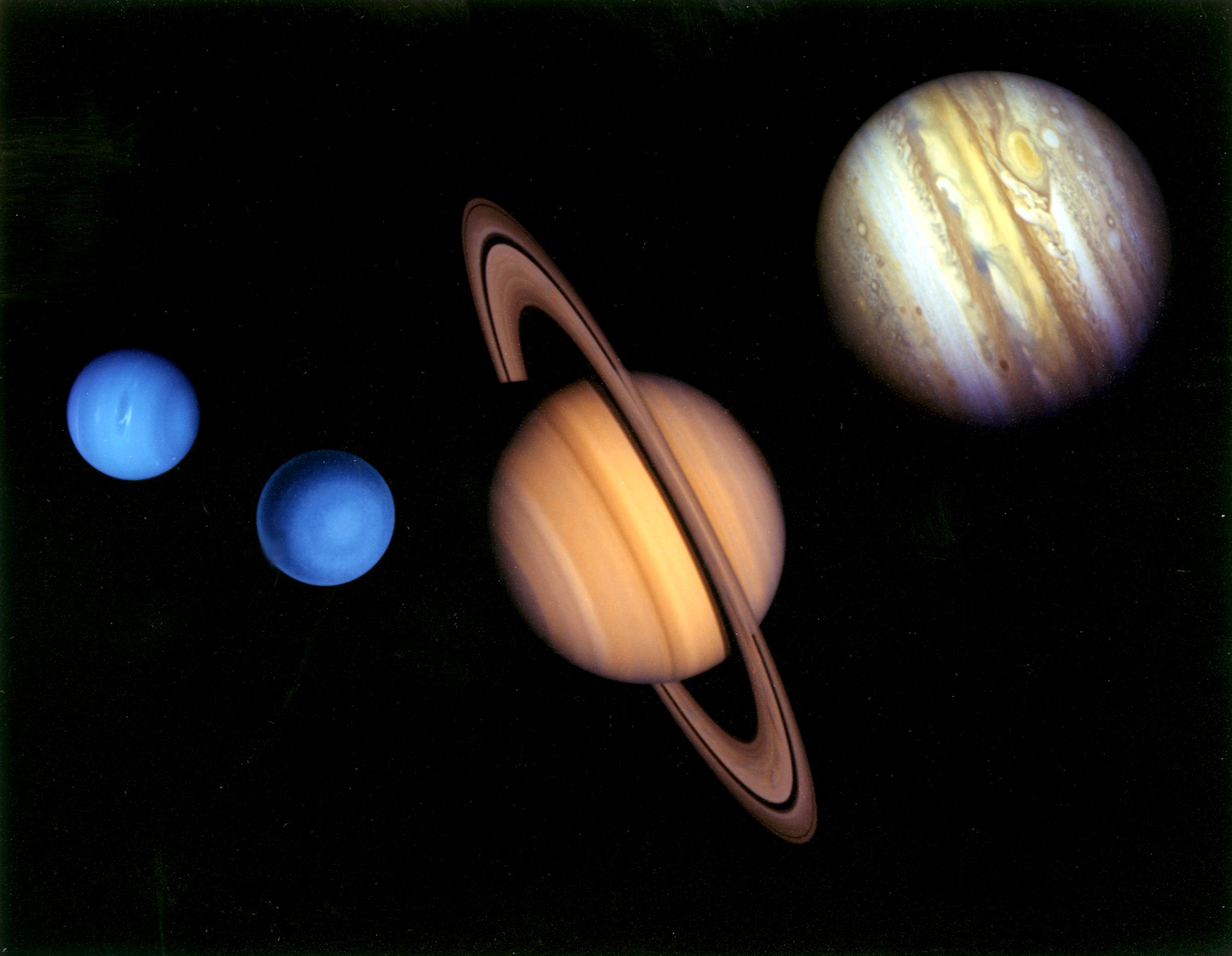
1996-01-29 | Jupiter |
Voyager |
2000x536x3 | |
|
|||||
|
|
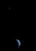
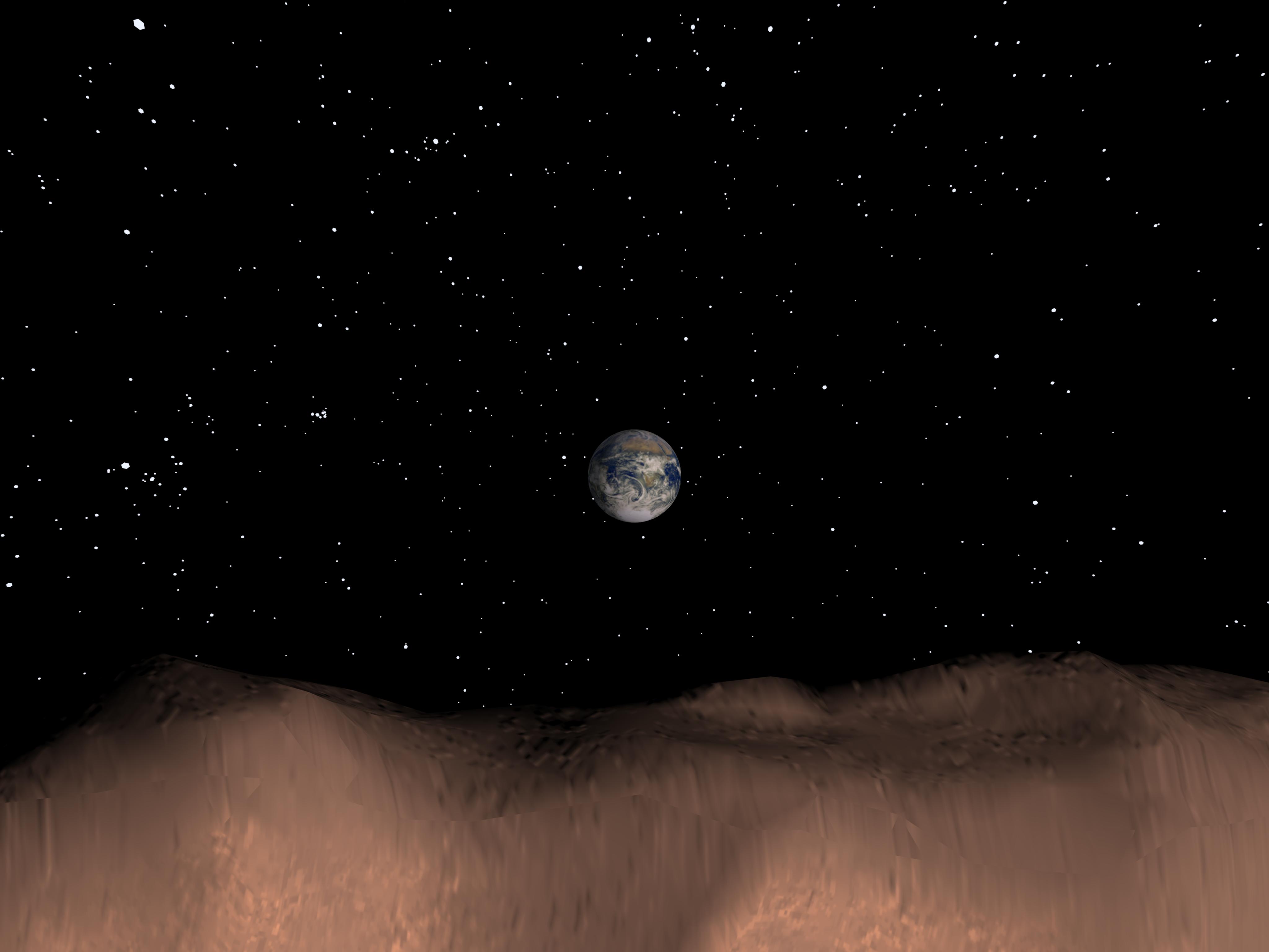
1996-08-29 | Earth |
Voyager |
565x790x3 | |
|
|||||
|
|
1996-01-29 | Jupiter |
Voyager |
760x876x3 | |
|
|||||
|
|
1996-01-29 | Jupiter |
Voyager |
908x880x3 | |

|
|||||
|
|
1996-01-29 | Jupiter |
Voyager |
908x880x3 | |

|
|||||
|
|
1996-08-01 | Jupiter |
Voyager |
2798x2030x3 | |
|
|||||
|
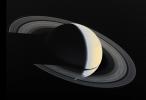
|
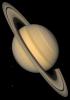
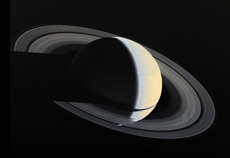
1996-01-29 | Saturn |
Voyager |
971x855x3 | |
|
|||||
|
|
1996-01-29 | Saturn |
Voyager |
400x300x3 | |
|
|||||
|
|
1996-01-29 | Saturn |
Voyager |
770x910x3 | |

|
|||||
|
|
1999-08-30 | Saturn |
Voyager |
652x461x3 | |
|
|||||
|
|
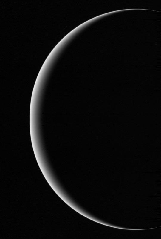
1996-01-29 | Neptune |
Voyager |
430x465x1 | |
|
|||||
|
|
1996-01-29 | Neptune |
Voyager |
330x330x1 | |
|
|||||
|
|
1996-01-29 | Neptune |
Voyager |
780x780x3 | |
|
|||||
|
|
1996-01-29 | Neptune |
Voyager |
682x596x3 | |
|
|||||
|
|
1996-01-29 | Neptune |
Voyager |
600x800x1 | |
|
|||||
|
|
1996-09-26 | Jupiter |
Voyager |
1471x1238x3 | |
|
|||||
|
|
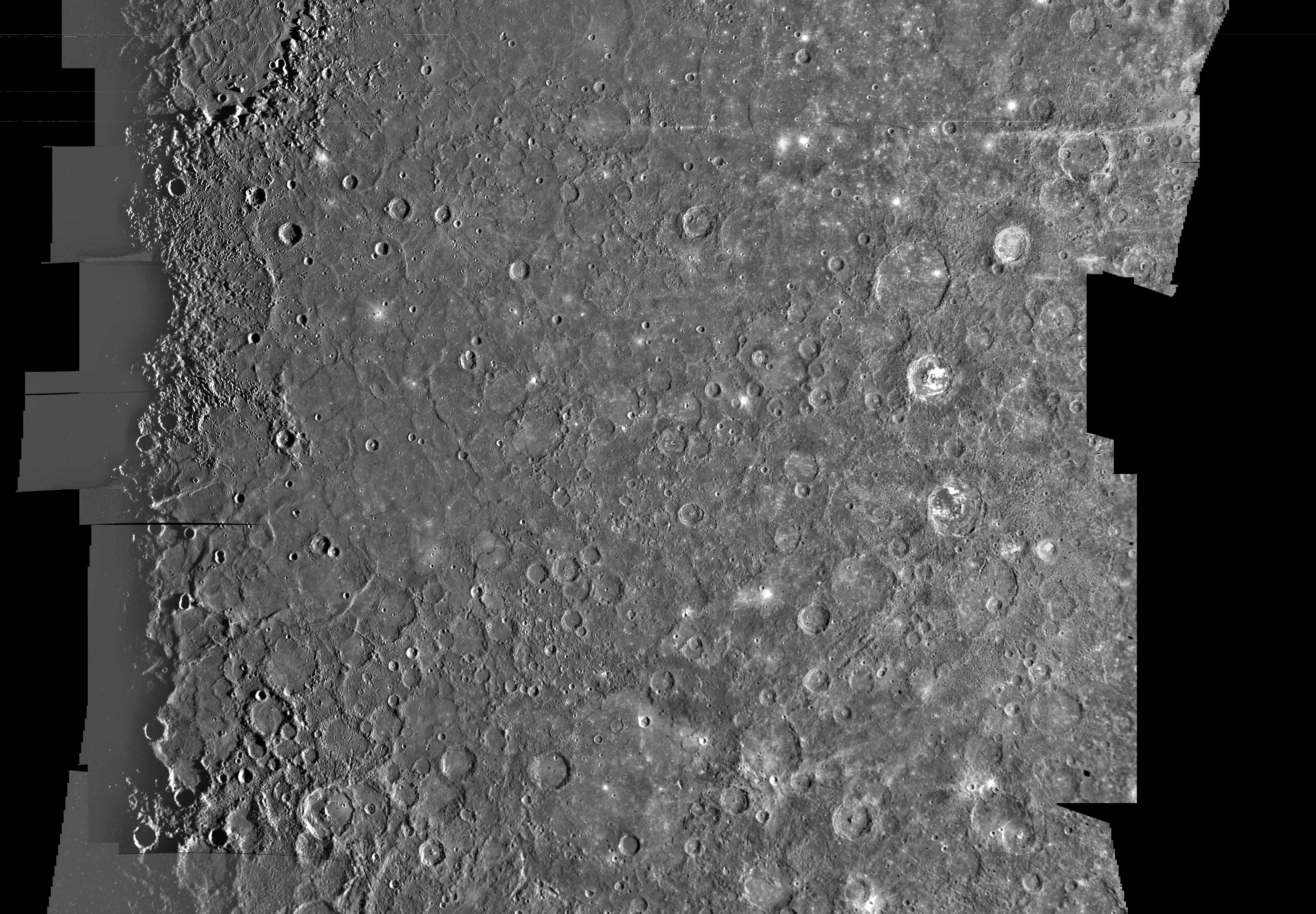
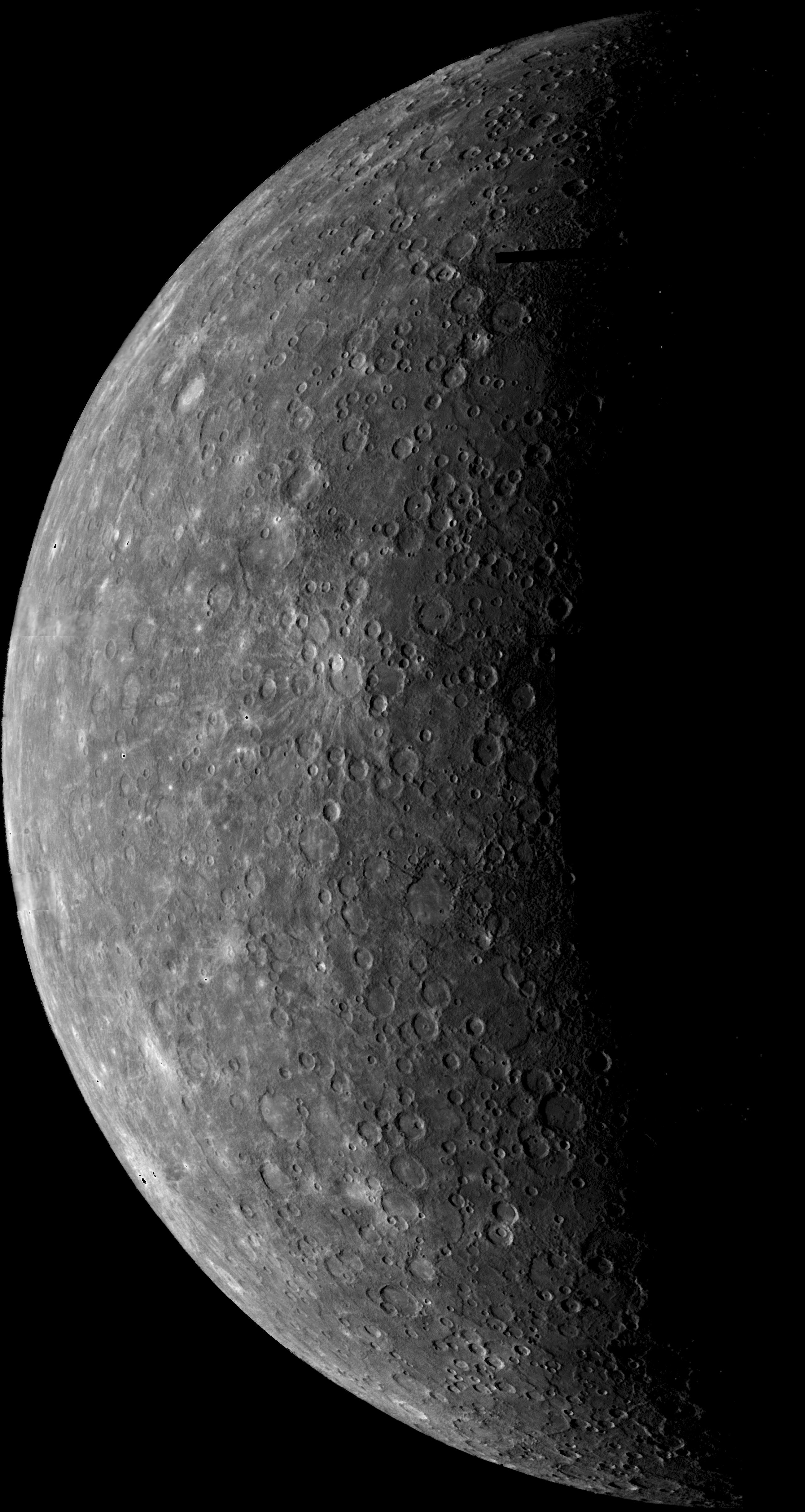
1996-09-19 | Mercury |
Mariner Venus Mercury (Mariner 10) |
9999x4000x1 | |
|
|||||
|
|
1996-09-23 | Mercury |
Mariner Venus Mercury (Mariner 10) |
9999x4000x1 | |
|
|||||
|
|
1996-09-23 | Mercury |
Mariner Venus Mercury (Mariner 10) |
7200x5000x1 | |
|
|||||
|
|
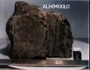
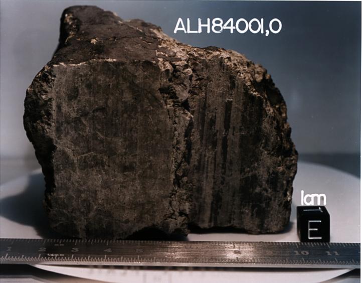
1996-08-09 | Mars |
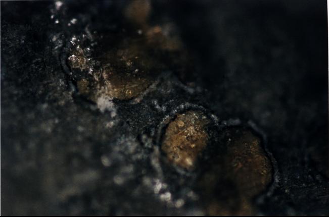
Antarctic Meteorite Location and Mapping Project (AMLAMP) |
720x545x1 | |
|
|||||
|
|
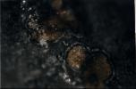
1996-08-09 | Mars |
Antarctic Meteorite Location and Mapping Project (AMLAMP) |
712x484x1 | |
|
|||||
|
|
1996-08-09 | Mars |
Antarctic Meteorite Location and Mapping Project (AMLAMP) |
720x493x1 | |
|
|||||
|
|
1996-08-09 | Mars |
Antarctic Meteorite Location and Mapping Project (AMLAMP) |
491x718x1 | |
|
|||||
|
|
1996-08-09 | Mars |
Antarctic Meteorite Location and Mapping Project (AMLAMP) |
716x493x1 | |
|
|||||
|
|
1996-08-09 | Mars |
Antarctic Meteorite Location and Mapping Project (AMLAMP) |
718x497x1 | |
|
|||||
|
|
1996-08-08 | Mars |
Antarctic Meteorite Location and Mapping Project (AMLAMP) |
722x564x3 | |
|
|||||
|
|
1996-08-08 | Mars |
Antarctic Meteorite Location and Mapping Project (AMLAMP) |
651x430x3 | |
|
|||||
|
|
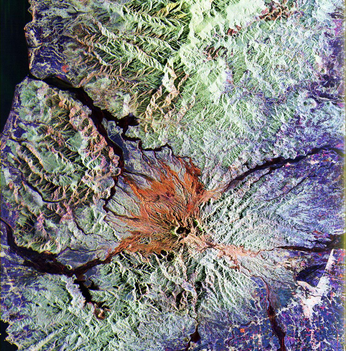
1998-06-04 | Mars |
Viking |
4511x4172x3 | |
|
|||||
|
|
1999-06-19 | Saturn |
Voyager |
800x550x3 | |
|
|||||
|
|
1998-06-04 | Jupiter |
Voyager |
840x840x3 | |
|
|||||
|
|
1998-06-04 | Uranus |
Voyager |
540x800x3 | |
|
|||||
|
|
1998-06-04 | Saturn |
Voyager |
860x1230x3 | |

|
|||||
|
|
1998-06-08 | Saturn |
Voyager |
860x1230x3 | |
|
|||||
|
|
1998-06-08 | Mars |
Viking |
6787x6787x3 | |
|
|||||
|
|
1998-06-08 | Mars |
Viking |
7700x9203x3 | |
|
|||||
|
|
1998-06-08 | Mars |
Viking |
3532x2763x3 | |
|
|||||
|
|
1998-06-08 | Mars |
Viking |
1438x973x3 | |
|
|||||
|
|
1998-06-08 | Mars |
Viking |
1109x952x3 | |
|
|||||
|
|
1998-06-08 | Mars |
Viking |
2100x2491x3 | |
|
|||||
|
|
1998-06-08 | Mars |
Viking |
1264x632x3 | |
|
|||||
|
|
1998-06-08 | Mars |
Viking |
1265x2696x3 | |
|
|
|||||
|
|
1998-06-08 | Mars |
Viking |
1238x1101x3 | |
|
|||||
|
|
1998-06-08 | Mars |
Viking |
8292x6485x3 | |

|
|||||
|
|
1998-06-08 | Mars |
Viking |
2962x2741x3 | |
|
|||||
|
|
1998-06-08 | Mars |
Viking |
6002x6388x3 | |
|
|||||
|
|
1998-06-08 | Mars |
Viking |
318x981x3 | |
|
|
|||||
|
|
1998-06-08 | Mars |
Viking |
3220x1956x3 | |
|
|||||
|
|
1998-06-08 | Mars |
Viking |
1580x1345x3 | |
|
|||||
|
|
1998-06-08 | Mars |
Viking |
9002x3196x3 | |
|
|||||
|
|
1998-06-08 | Mars |
Viking |
3194x2769x3 | |
|
|||||
|
|
1998-06-08 | Mars |
Viking |
14000x6800x3 | |
|
|||||
|
|
1999-06-12 | Mercury |
Mariner Venus Mercury (Mariner 10) |
2599x4878x1 | |
|
|||||
|
|
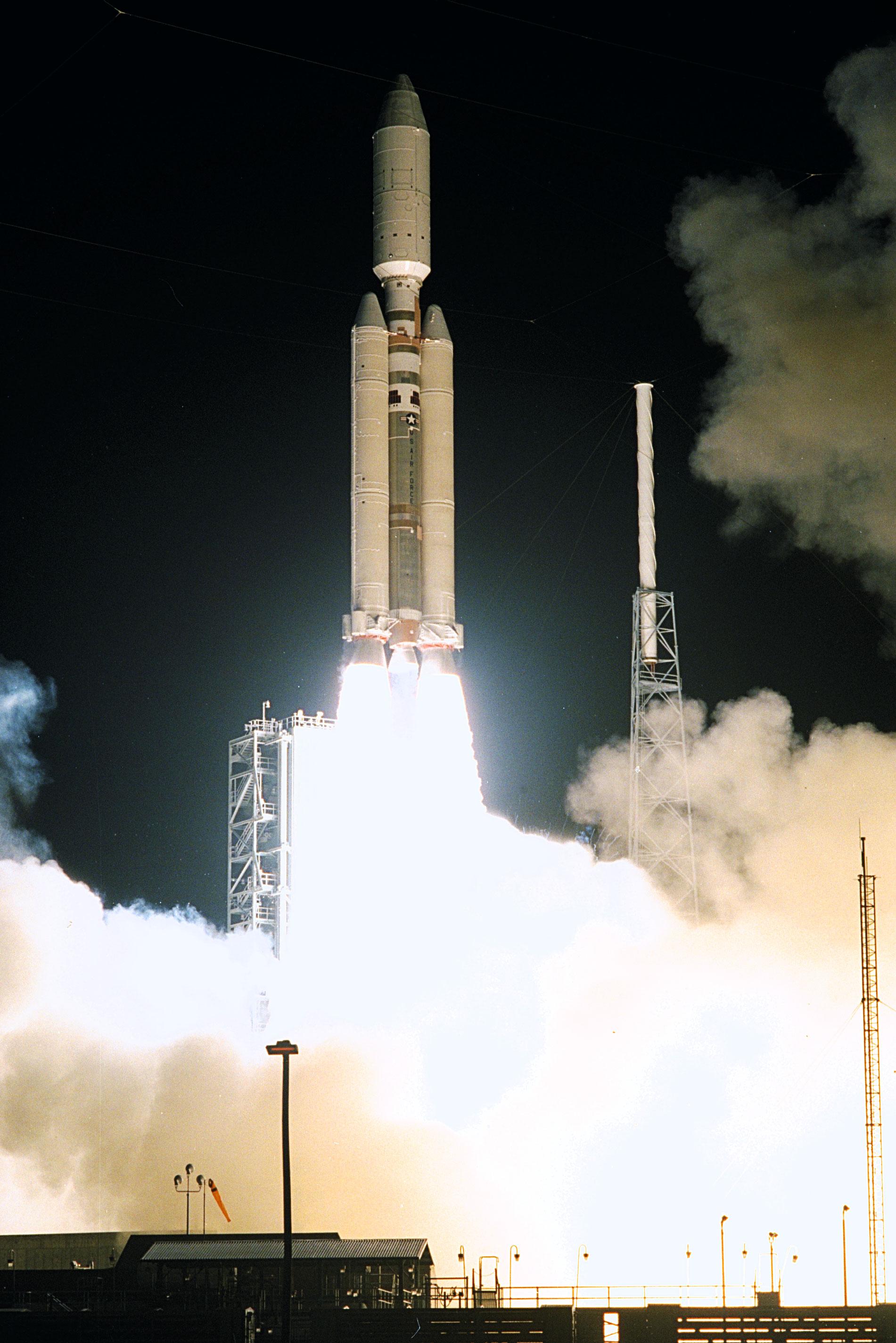
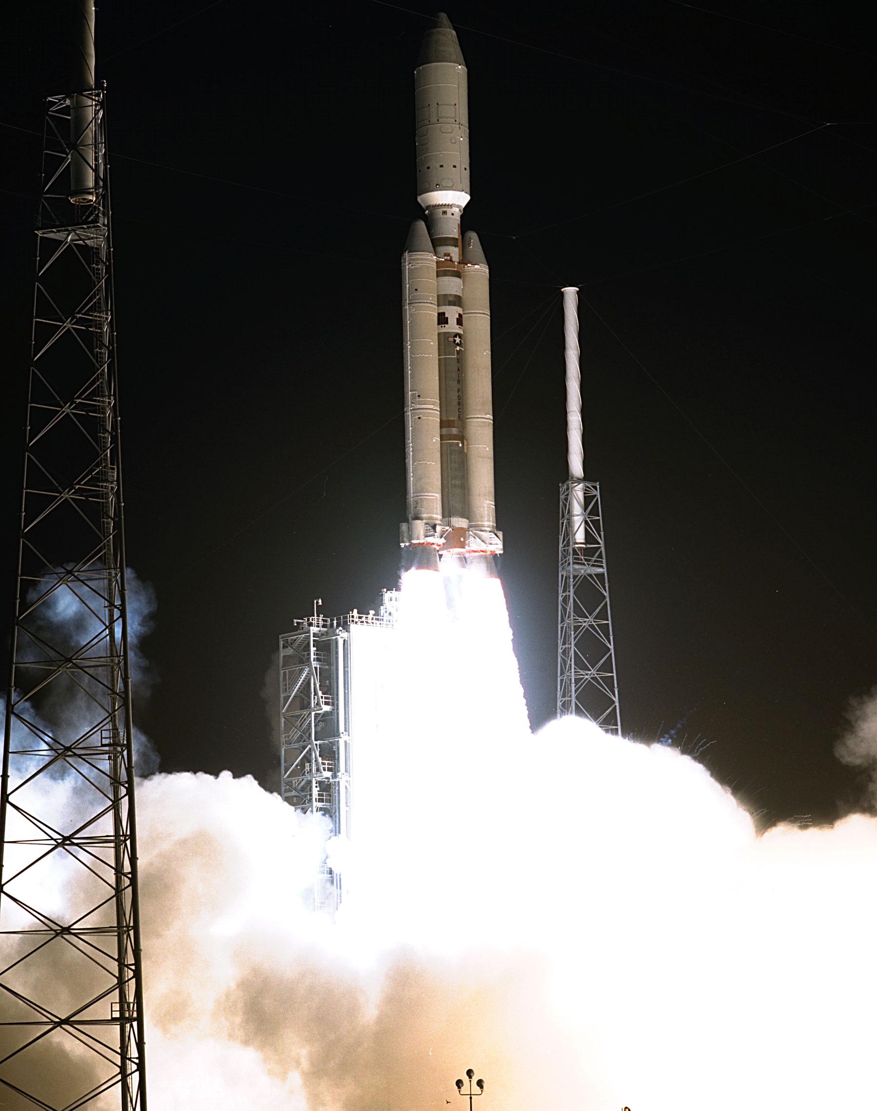
1996-11-27 | Toutatis | 4096x3072x3 | ||
|
|||||
|
|
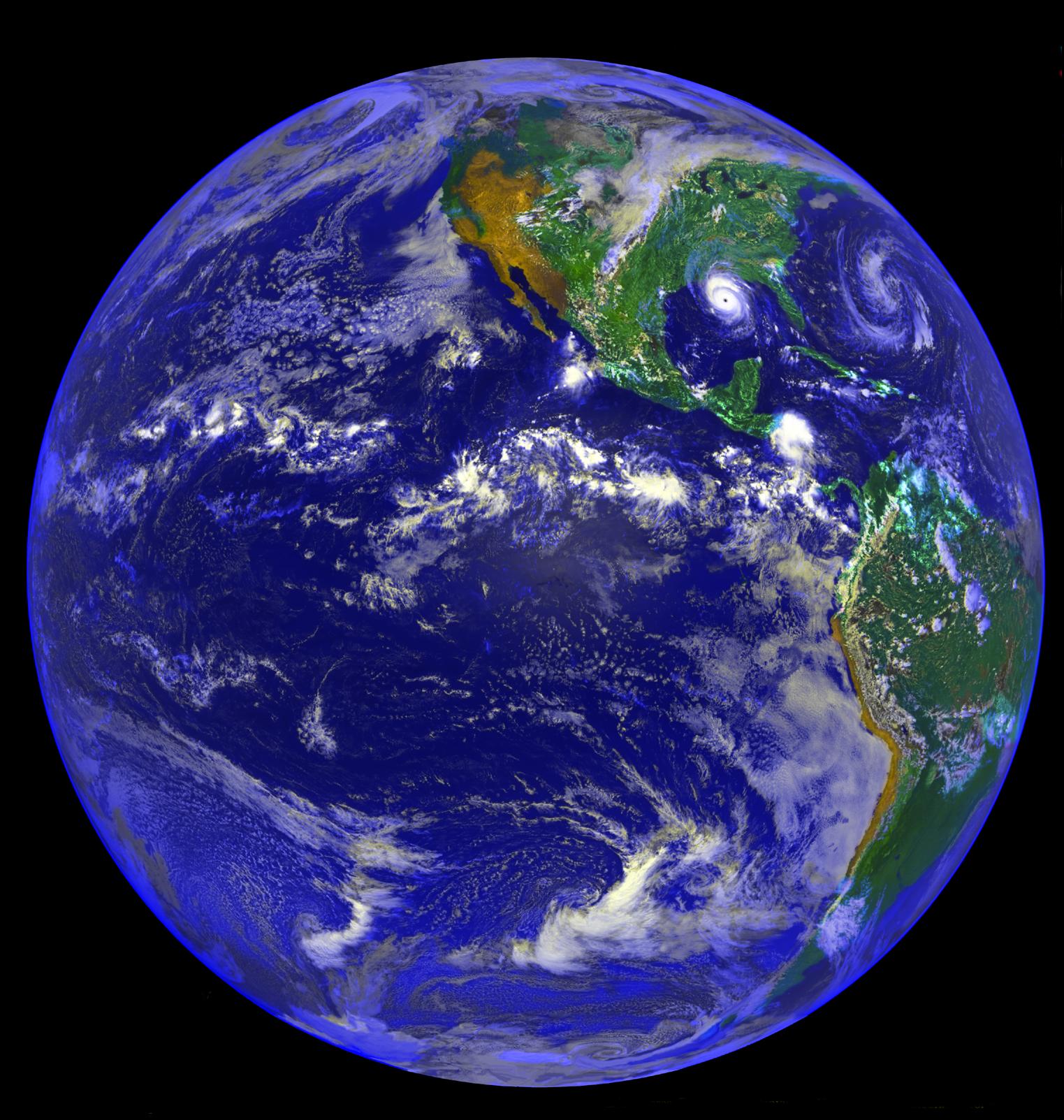
2001-03-30 | Earth | 1352x1390x3 | ||
|
|||||
|
|
1997-09-10 | Earth |
Galileo |
420x480x3 | |

|
|||||
|
|
1997-09-10 | Earth |
Galileo |
620x480x3 | |

|
|||||
|
|
1997-10-23 | Earth |
Cassini-Huygens |
1520x2280x3 | |
|
|||||
|
|
1997-10-23 | Earth |
Cassini-Huygens |
1536x2304x3 | |
|
|||||
|
|
1997-10-23 | Earth |
Cassini-Huygens |
2280x1800x3 | |
|
|||||
|
|
1997-08-15 | Mars |
Mars Pathfinder (MPF) |
684x504x1 | |
|
|||||
|
|
1997-08-15 | Mars |
Mars Pathfinder (MPF) |
591x532x3 | |
|
|||||
|
|
1997-10-14 | Mars |
Mars Pathfinder (MPF) Viking |
216x224x1 | |
|
|||||
|
|
1997-10-23 | Earth |
Cassini-Huygens |
1901x2850x3 | |
|
|||||
|
|
1997-10-23 | Earth |
Cassini-Huygens |
1800x2280x3 | |
|
|||||
|
|
1998-07-23 | Earth |
Geostationary Operational Environmental Satellite 7 (GOES-7) |
1523x1603x3 | |
|
|||||
|
|
1998-10-14 | Jupiter |
Galileo Hubble Space Telescope |
850x950x3 | |
|
|||||
|
|
1998-10-30 | Jupiter |
Voyager |
2081x1654x3 | |
|
|||||
|
|
1998-10-30 | Saturn |
Voyager |
2351x2015x3 | |
|
|||||
|
|
1998-10-30 | Saturn |
Voyager |
2674x2075x3 | |

|
|||||
|
|
1998-11-02 | Uranus |
Voyager |
2118x2618x3 | |
|
|||||
|
|
1998-10-30 | Uranus |
Voyager |
954x962x3 | |
|
|||||
|
|
1998-10-30 | Neptune |
Voyager |
2073x2678x3 | |
|
|||||
|
|
1998-10-30 | Neptune |
Voyager |
2188x2185x3 | |
|
|||||
|
|
1998-10-30 | Neptune |
Voyager |
1469x1160x1 | |
|
|||||
|
|
1999-06-22 | Jupiter |
Voyager |
1362x1228x3 | |
|
|||||
|
|
1999-05-08 | Uranus |
Voyager |
923x963x3 | |
|
|||||
|
|
1999-05-08 | Neptune |
Voyager |
1479x1159x3 | |
|
|||||
|
|
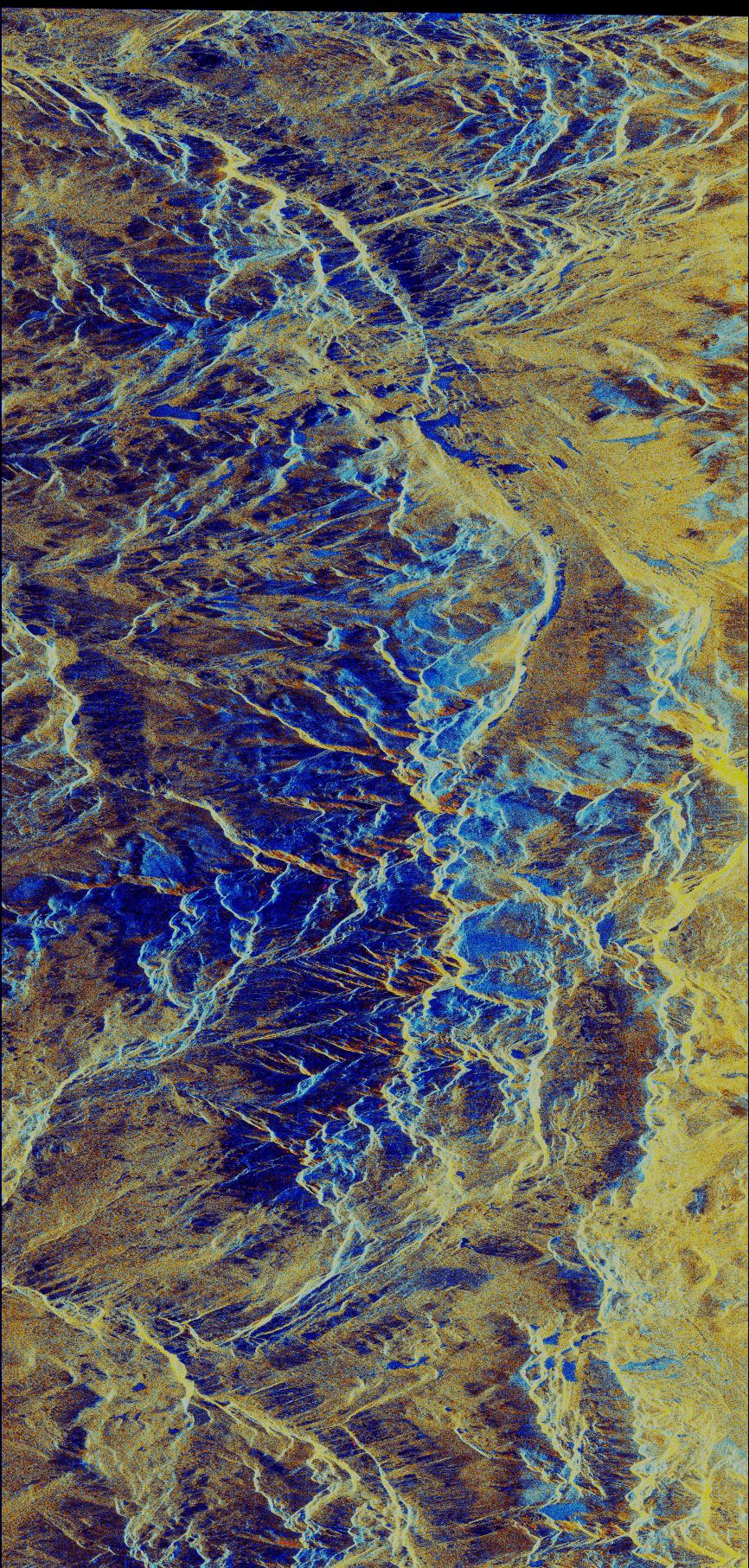
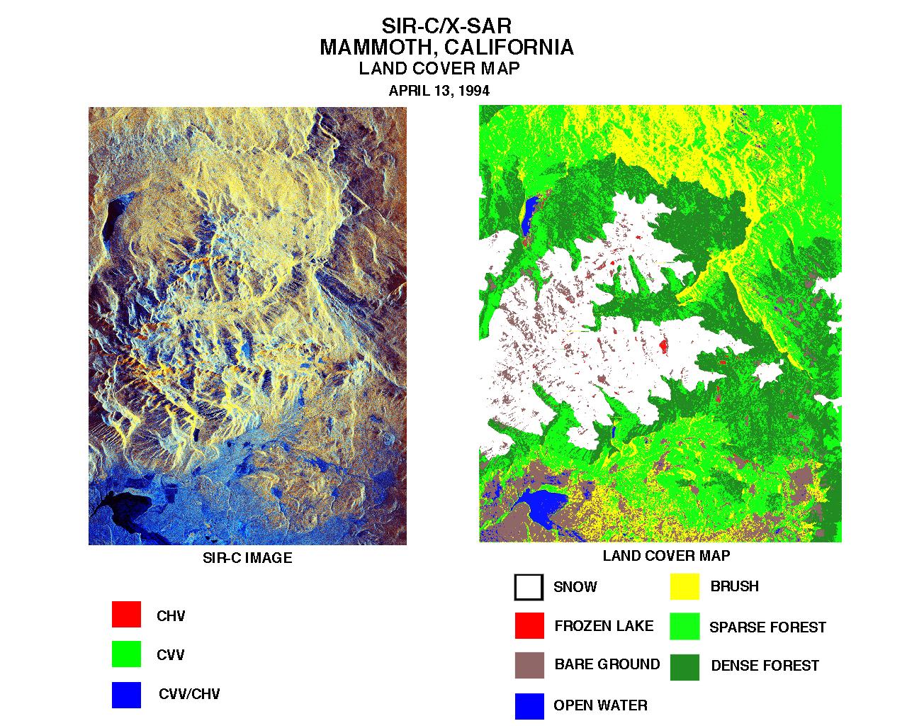
1999-01-27 | Earth |
Spaceborne Imaging Radar-C/X-Band Synthetic Aperture Radar |
804x1330x3 | |
|
|||||
|
|
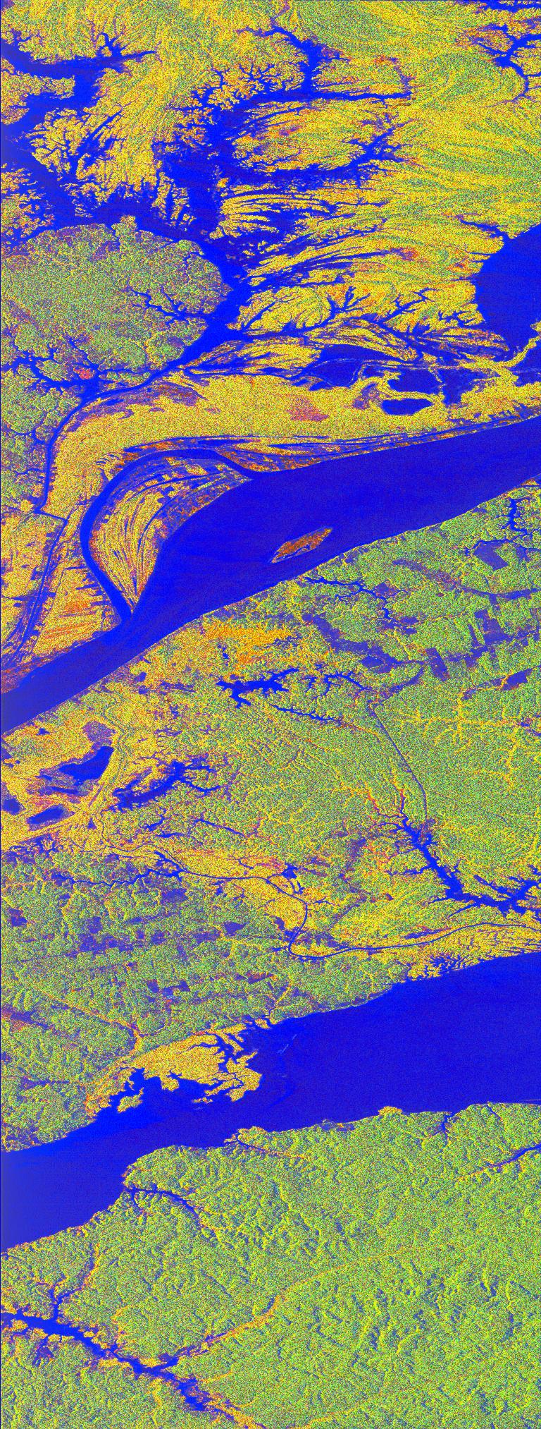
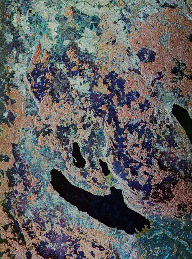
1999-01-27 | Earth |
Spaceborne Imaging Radar-C/X-Band Synthetic Aperture Radar |
784x1765x1 | |
|
|
|||||
|
|
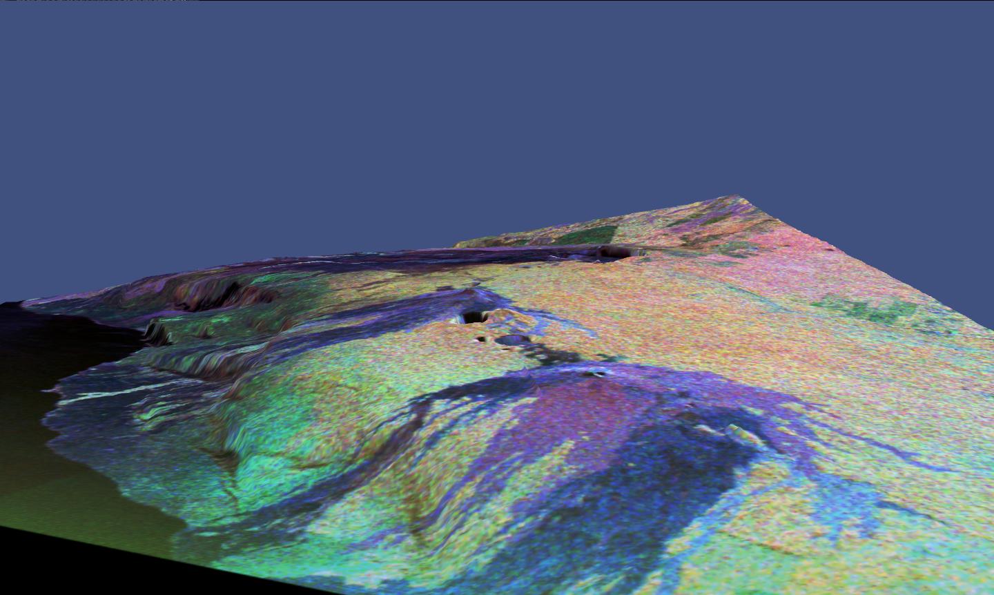
1999-01-27 | Earth |
Spaceborne Imaging Radar-C/X-Band Synthetic Aperture Radar |
788x1838x3 | |
|
|
|||||
|
|
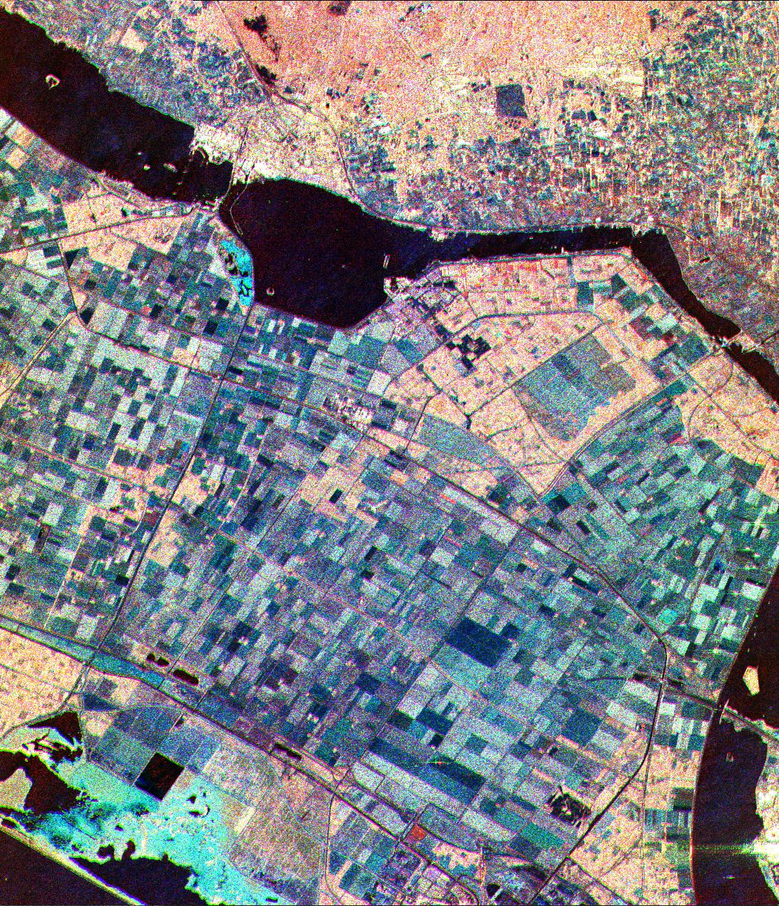
1999-01-27 | Earth |
Spaceborne Imaging Radar-C/X-Band Synthetic Aperture Radar |
1536x972x3 | |
|
|||||
|
|
1999-01-27 | Earth |
Spaceborne Imaging Radar-C/X-Band Synthetic Aperture Radar |
698x2299x3 | |
|
|
|||||
|
|
1999-01-27 | Earth |
Spaceborne Imaging Radar-C/X-Band Synthetic Aperture Radar |
866x1813x3 | |
|
|
|||||
|
|
1999-01-27 | Earth |
Spaceborne Imaging Radar-C/X-Band Synthetic Aperture Radar |
768x2026x3 | |
|
|
|||||
|
|
1999-01-27 | Earth |
Spaceborne Imaging Radar-C/X-Band Synthetic Aperture Radar |
1440x972x3 | |

|
|||||
|
|
1999-01-27 | Earth |
Spaceborne Imaging Radar-C/X-Band Synthetic Aperture Radar |
1116x1130x3 | |
|
|||||
|
|
1999-01-27 | Earth |
Spaceborne Imaging Radar-C/X-Band Synthetic Aperture Radar |
1042x1433x3 | |

|
|||||
|
|
1999-01-27 | Earth |
Spaceborne Imaging Radar-C/X-Band Synthetic Aperture Radar |
736x994x3 | |
|
|||||
|
|
1999-01-27 | Earth |
Spaceborne Imaging Radar-C/X-Band Synthetic Aperture Radar |
1280x1024x3 | |
|
|||||
|
|
1999-01-27 | Earth |
Spaceborne Imaging Radar-C/X-Band Synthetic Aperture Radar |
1700x2200x3 | |
|
|||||
|
|
1999-01-27 | Earth |
Spaceborne Imaging Radar-C/X-Band Synthetic Aperture Radar |
1700x2200x3 | |
|
|||||
|
|
1999-01-27 | Earth |
Spaceborne Imaging Radar-C/X-Band Synthetic Aperture Radar |
1280x1024x3 | |
|
|||||
|
|
1999-01-27 | Earth |
Spaceborne Imaging Radar-C/X-Band Synthetic Aperture Radar |
670x900x3 | |
|
|||||
|
|
1999-01-27 | Earth |
Spaceborne Imaging Radar-C/X-Band Synthetic Aperture Radar |
1440x862x3 | |
|
|||||
|
|
1999-01-27 | Earth |
Spaceborne Imaging Radar-C/X-Band Synthetic Aperture Radar |
1440x961x3 | |
|
|||||
|
|
1999-01-27 | Earth |
Spaceborne Imaging Radar-C/X-Band Synthetic Aperture Radar |
1114x1295x3 | |

|
|||||
|
|
1999-01-27 | Earth |
Spaceborne Imaging Radar-C/X-Band Synthetic Aperture Radar |
690x2309x1 | |
|
|
|||||
|
|
1999-01-27 | Earth |
Spaceborne Imaging Radar-C/X-Band Synthetic Aperture Radar |
1075x2000x3 | |

|
|||||
 |
 |
|
|
|
|
|
|
|
|

|
|
| 1-100 | 101-200 | 201-300 | 301-400 | 401-500 | 501-600 | 601-700 | 701-800 | 801-900 | 901-1000 |
| Currently displaying images: 1 - 100 of 19634 |