|
Your search criteria found 2596 images Target is Earth (and available satellites) |
| My List |
Addition Date | Target |
Mission
|
Instrument | Size |

|
1999-04-15 | Earth |
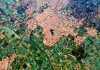
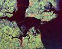
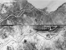
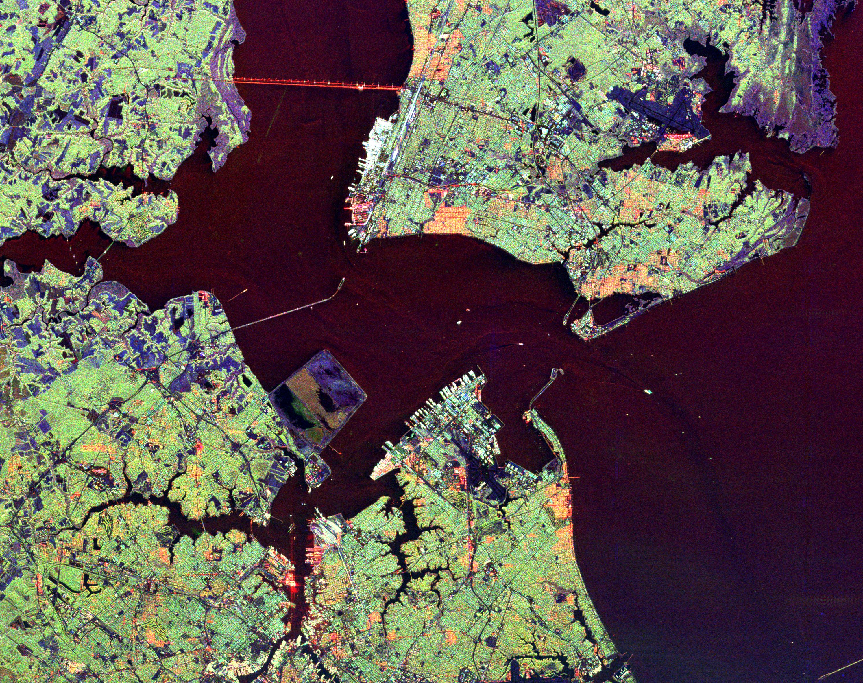
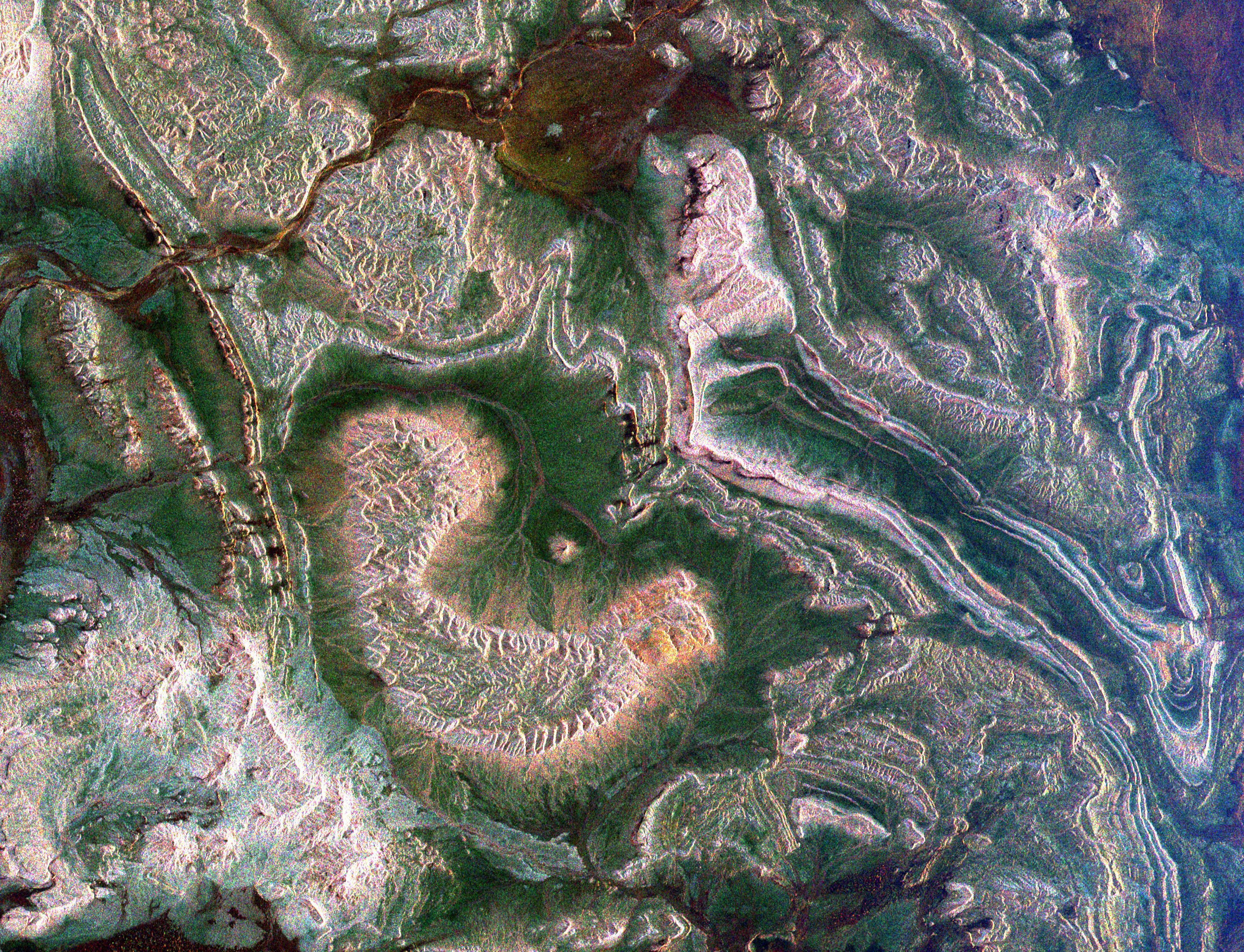
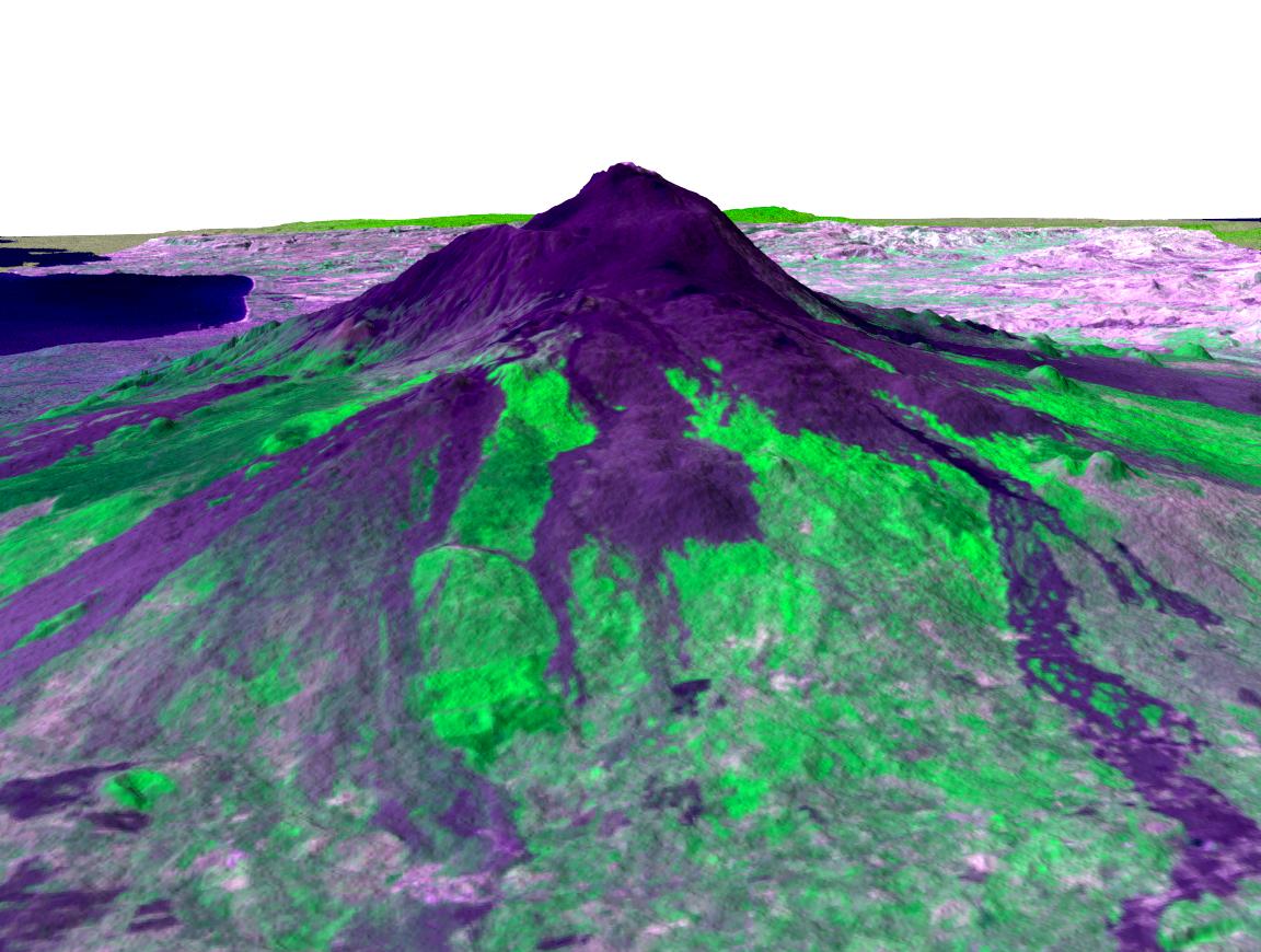
Spaceborne Imaging Radar-C/X-Band Synthetic Aperture Radar |
1494x2500x3 | |

|
|||||
|
|
1999-04-15 | Earth |
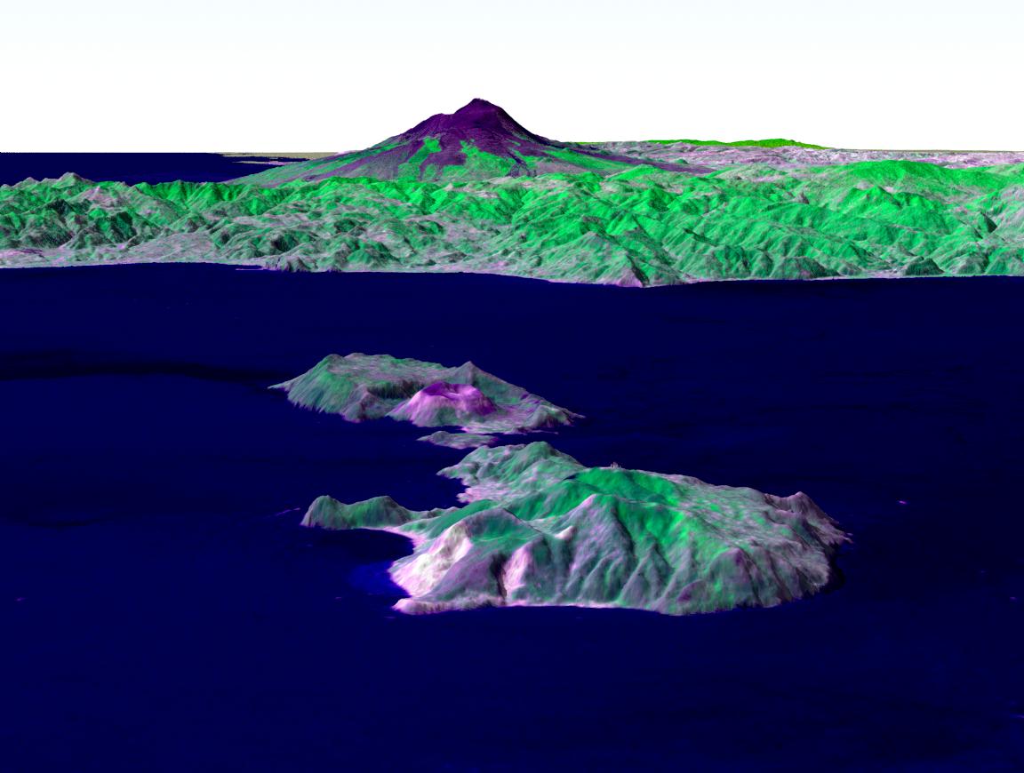
Spaceborne Imaging Radar-C/X-Band Synthetic Aperture Radar |
2694x1359x3 | |
|
|||||
|
|
1999-04-15 | Earth |
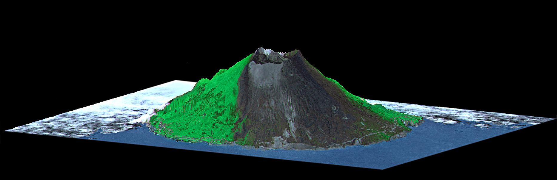
Spaceborne Imaging Radar-C/X-Band Synthetic Aperture Radar |
1000x800x3 | |
|
|||||
|
|
1999-04-15 | Earth |
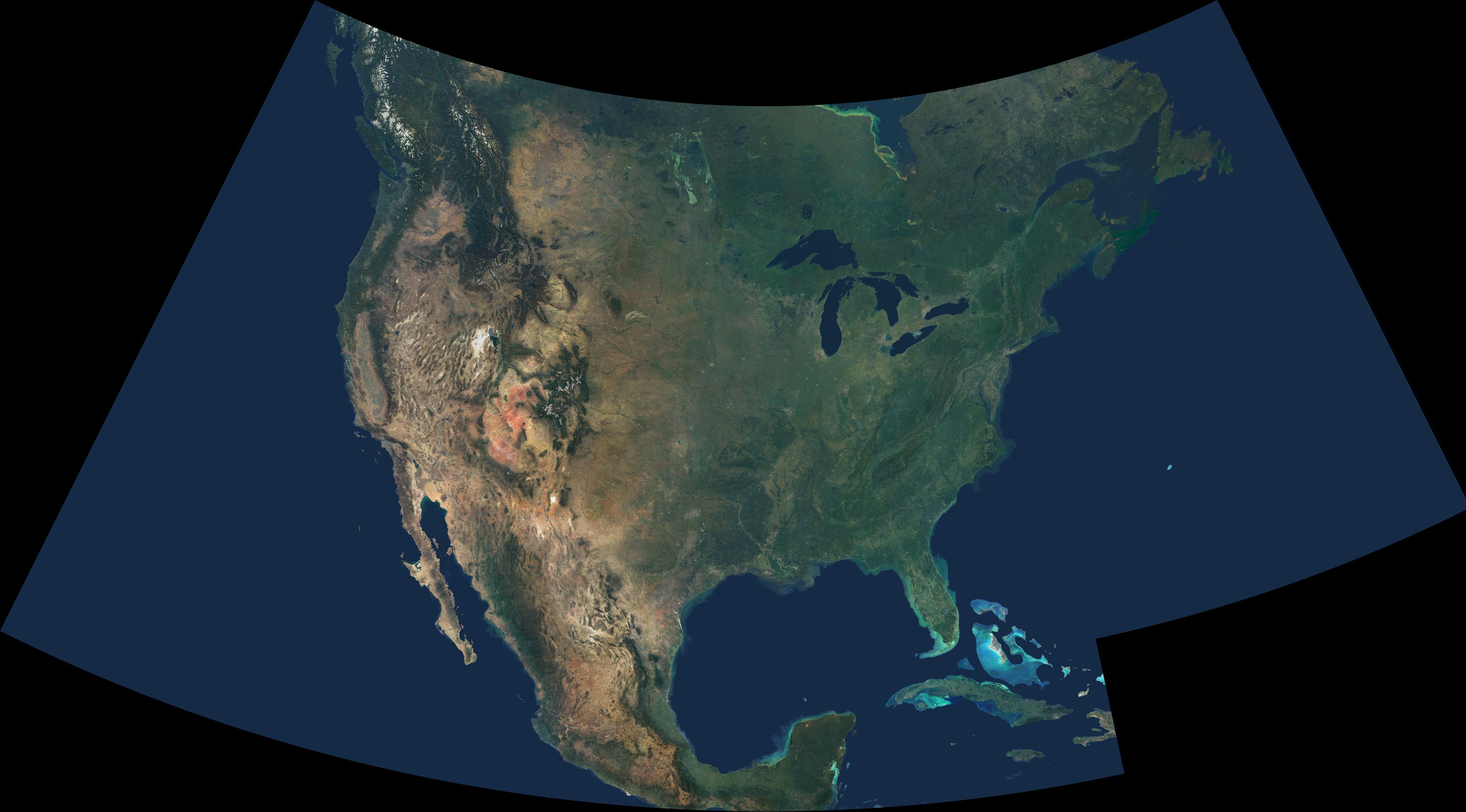
Spaceborne Imaging Radar-C/X-Band Synthetic Aperture Radar |
2076x2470x3 | |

|
|||||
|
|
1999-04-15 | Earth |
Spaceborne Imaging Radar-C/X-Band Synthetic Aperture Radar |
3800x2300x3 | |
|
|||||
|
|
1999-04-15 | Earth |
Spaceborne Imaging Radar-C/X-Band Synthetic Aperture Radar |
1644x3604x3 | |
|
|
|||||
|
|
1999-04-15 | Earth |
Spaceborne Imaging Radar-C/X-Band Synthetic Aperture Radar |
2300x1617x3 | |
|
|||||
|
|
1999-04-15 | Earth |
Spaceborne Imaging Radar-C/X-Band Synthetic Aperture Radar |
4000x2392x3 | |
|
|||||
|
|
1999-04-15 | Earth |
Spaceborne Imaging Radar-C/X-Band Synthetic Aperture Radar |
1920x1035x3 | |

|
|||||
|
|
1999-04-15 | Earth |
Spaceborne Imaging Radar-C/X-Band Synthetic Aperture Radar |
1920x1035x3 | |
|
|||||
|
|
1999-04-15 | Earth |
Spaceborne Imaging Radar-C/X-Band Synthetic Aperture Radar |
2000x2026x3 | |
|
|||||
|
|
1999-04-15 | Earth |
Spaceborne Imaging Radar-C/X-Band Synthetic Aperture Radar |
2004x3000x3 | |

|
|||||
|
|
1999-04-15 | Earth |
Spaceborne Imaging Radar-C/X-Band Synthetic Aperture Radar |
1365x3000x3 | |
|
|
|||||
|
|
1999-04-15 | Earth |
Spaceborne Imaging Radar-C/X-Band Synthetic Aperture Radar |
2840x1243x3 | |
|
|||||
|
|
1999-04-15 | Earth |
Spaceborne Imaging Radar-C/X-Band Synthetic Aperture Radar |
1750x2950x3 | |

|
|||||
|
|
1999-04-15 | Earth |
Spaceborne Imaging Radar-C/X-Band Synthetic Aperture Radar |
2016x1951x3 | |
|
|||||
|
|
1999-04-15 | Earth |
Spaceborne Imaging Radar-C/X-Band Synthetic Aperture Radar |
3425x2778x3 | |
|
|||||
|
|
1999-04-15 | Earth |
Spaceborne Imaging Radar-C/X-Band Synthetic Aperture Radar |
2820x4000x3 | |
|
|||||
|
|
1999-04-15 | Earth |
Spaceborne Imaging Radar-C/X-Band Synthetic Aperture Radar |
4000x2850x3 | |
|
|||||
|
|
1999-04-15 | Earth |
Spaceborne Imaging Radar-C/X-Band Synthetic Aperture Radar |
2495x4970x3 | |

|
|||||
|
|
1999-04-15 | Earth |
Spaceborne Imaging Radar-C/X-Band Synthetic Aperture Radar |
2817x2273x3 | |
|
|||||
|
|
1999-04-15 | Earth |
Spaceborne Imaging Radar-C/X-Band Synthetic Aperture Radar |
2540x4396x3 | |

|
|||||
|
|
1999-04-15 | Earth |
Spaceborne Imaging Radar-C/X-Band Synthetic Aperture Radar |
[NULL] |
4000x2100x3 |

|
|||||
|
|
1999-04-15 | Earth |
Spaceborne Imaging Radar-C/X-Band Synthetic Aperture Radar |
3612x3502x3 | |
|
|||||
|
|
1999-04-15 | Earth |
Spaceborne Imaging Radar-C/X-Band Synthetic Aperture Radar |
2413x4151x3 | |

|
|||||
|
|
1999-04-15 | Earth |
Spaceborne Imaging Radar-C/X-Band Synthetic Aperture Radar |
2913x2485x3 | |

|
|||||
|
|
1999-04-15 | Earth |
Spaceborne Imaging Radar-C/X-Band Synthetic Aperture Radar |
3997x3408x3 | |
|
|||||
|
|
1999-04-15 | Earth |
Spaceborne Imaging Radar-C/X-Band Synthetic Aperture Radar |
3000x2612x3 | |
|
|||||
|
|
1999-04-15 | Earth |
Spaceborne Imaging Radar-C/X-Band Synthetic Aperture Radar |
2000x2400x3 | |
|
|||||
|
|
1999-04-15 | Earth |
Spaceborne Imaging Radar-C/X-Band Synthetic Aperture Radar |
3321x2916x3 | |

|
|||||
|
|
1999-04-15 | Earth |
Spaceborne Imaging Radar-C/X-Band Synthetic Aperture Radar |
2447x1789x3 | |

|
|||||
|
|
1999-04-15 | Earth |
Spaceborne Imaging Radar-C/X-Band Synthetic Aperture Radar |
2206x1758x3 | |

|
|||||
|
|
1999-05-01 | Earth |
Spaceborne Imaging Radar-C/X-Band Synthetic Aperture Radar |
3536x5297x3 | |
|
|||||
|
|
1999-04-15 | Earth |
Spaceborne Imaging Radar-C/X-Band Synthetic Aperture Radar |
2233x3024x3 | |
|
|||||
|
|
1999-04-15 | Earth |
Spaceborne Imaging Radar-C/X-Band Synthetic Aperture Radar |
2325x1521x3 | |
|
|||||
|
|
1999-04-15 | Earth |
Spaceborne Imaging Radar-C/X-Band Synthetic Aperture Radar |
2050x3120x3 | |
|
|||||
|
|
1999-04-15 | Earth |
Spaceborne Imaging Radar-C/X-Band Synthetic Aperture Radar |
2805x2472x3 | |
|
|||||
|
|
1999-04-15 | Earth |
Spaceborne Imaging Radar-C/X-Band Synthetic Aperture Radar |
1920x1080x3 | |
|
|||||
|
|
1999-04-15 | Earth |
Spaceborne Imaging Radar-C/X-Band Synthetic Aperture Radar |
1920x1080x3 | |
|
|||||
|
|
1999-04-15 | Earth |
Spaceborne Imaging Radar-C/X-Band Synthetic Aperture Radar |
1648x2449x3 | |
|
|||||
|
|
1999-04-15 | Earth |
Spaceborne Imaging Radar-C/X-Band Synthetic Aperture Radar |
1792x2496x3 | |
|
|||||
|
|
1999-04-15 | Earth |
Spaceborne Imaging Radar-C/X-Band Synthetic Aperture Radar |
1196x627x3 | |
|
|||||
|
|
1999-04-15 | Earth |
Spaceborne Imaging Radar-C/X-Band Synthetic Aperture Radar |
2466x2881x3 | |
|
|||||
|
|
1999-04-15 | Earth |
Spaceborne Imaging Radar-C/X-Band Synthetic Aperture Radar |
5881x4501x3 | |

|
|||||
|
|
1999-04-15 | Earth |
Spaceborne Imaging Radar-C/X-Band Synthetic Aperture Radar |
2177x2057x3 | |

|
|||||
|
|
1999-04-15 | Earth |
Spaceborne Imaging Radar-C/X-Band Synthetic Aperture Radar |
3295x1662x3 | |
|
|||||
|
|
1999-04-15 | Earth |
Spaceborne Imaging Radar-C/X-Band Synthetic Aperture Radar |
3000x3500x3 | |
|
|||||
|
|
1999-04-15 | Earth |
Spaceborne Imaging Radar-C/X-Band Synthetic Aperture Radar |
2808x3500x3 | |
|
|||||
|
|
1999-04-15 | Earth |
Spaceborne Imaging Radar-C/X-Band Synthetic Aperture Radar |
6000x3852x3 | |
|
|||||
|
|
1999-04-15 | Earth |
Spaceborne Imaging Radar-C/X-Band Synthetic Aperture Radar |
3841x4593x3 | |

|
|||||
|
|
1999-04-15 | Earth |
Spaceborne Imaging Radar-C/X-Band Synthetic Aperture Radar |
4001x2640x3 | |
|
|||||
|
|
2000-04-27 | Earth |
Spaceborne Imaging Radar-C/X-Band Synthetic Aperture Radar |
6577x4337x3 | |

|
|||||
|
|
1999-04-15 | Earth |
Spaceborne Imaging Radar-C/X-Band Synthetic Aperture Radar |
6539x3444x3 | |

|
|||||
|
|
1999-04-15 | Earth |
Spaceborne Imaging Radar-C/X-Band Synthetic Aperture Radar |
2949x1949x3 | |
|
|||||
|
|
1999-04-15 | Earth |
Spaceborne Imaging Radar-C/X-Band Synthetic Aperture Radar |
2733x2656x3 | |
|
|||||
|
|
1999-04-15 | Earth |
Spaceborne Imaging Radar-C/X-Band Synthetic Aperture Radar |
4236x2788x3 | |
|
|||||
|
|
1999-04-15 | Earth |
Spaceborne Imaging Radar-C/X-Band Synthetic Aperture Radar |
1537x1081x3 | |
|
|||||
|
|
1999-04-15 | Earth |
Spaceborne Imaging Radar-C/X-Band Synthetic Aperture Radar |
2985x2361x3 | |
|
|||||
|
|
1999-04-15 | Earth |
Spaceborne Imaging Radar-C/X-Band Synthetic Aperture Radar |
3537x2708x3 | |

|
|||||
|
|
2012-12-12 | Earth |
Space Shuttle |
SIR-C/X-SAR |
2128x1612x1 |
|
|||||
|
|
2011-07-12 | Earth |
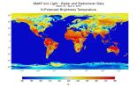
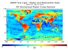
SMAP |
500x280x3 | |
|
|||||
|
|
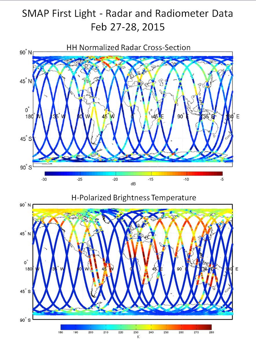
2015-01-20 | Earth |
SMAP |
3000x1996x3 | |
|
|||||
|
|
2015-01-21 | Earth |
SMAP |
8192x8784x3 | |
|
|||||
|
|
2015-01-21 | Earth |
SMAP |
2002x3000x3 | |
|
|||||
|
|
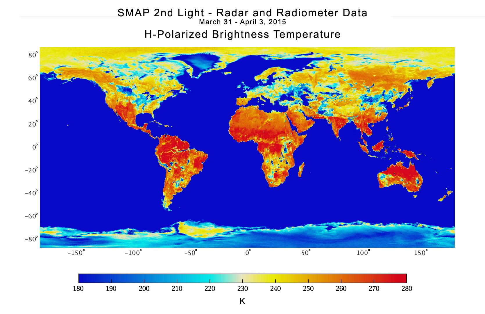
2015-01-21 | Earth |
SMAP |
2815x1850x3 | |

|
|||||
|
|
2015-01-21 | Earth |
SMAP |
2000x3000x3 | |

|
|||||
|
|
2015-01-21 | Earth |
SMAP |
3000x2000x3 | |
|
|||||
|
|
2015-03-09 | Earth |
SMAP |
884x1180x3 | |
|
|||||
|
|
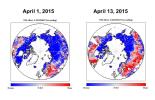
2015-04-21 | Earth |
SMAP |
1669x1080x3 | |
|
|||||
|
|
2015-04-21 | Earth |
SMAP |
1187x882x3 | |
|
|||||
|
|
2015-04-29 | Earth |
SMAP |
931x602x3 | |
|
|||||
|
|
2015-05-06 | Earth |
SMAP |
2999x3006x3 | |
|
|||||
|
|
2015-05-19 | Earth |
SMAP |
13492x6783x3 | |
|
|||||
|
|
2015-05-19 | Earth |
SMAP |
9105x11395x3 | |
|
|||||
|
|
2015-09-02 | Earth |
SMAP |
7592x3775x3 | |
|
|||||
|
|
2015-09-09 | Earth |
SMAP |
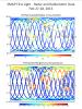
Passive Active L-band System |
1248x1830x3 |
|
|||||
|
|
2015-10-08 | Earth |
SMAP |
1093x1153x3 | |
|
|||||
|
|
2016-10-07 | Earth |
SMAP |
1527x1175x3 | |

|
|||||
|
|
2017-08-28 | Earth |
SMAP |
3000x1240x3 | |
|
|||||
|
|
2017-08-29 | Earth |
SMAP |
3040x1626x3 | |
|
|||||
|
|
2017-08-30 | Earth |
SMAP |
11811x3410x3 | |
|
|||||
|
|
2017-09-05 | Earth |
SMAP |
1830x1976x3 | |
|
|||||
|
|
2017-09-13 | Earth |
SMAP |
5882x1662x3 | |
|
|||||
|
|
2017-09-19 | Earth |
SMAP |
1808x895x3 | |
|
|||||
|
|
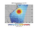
2018-09-13 | Earth |
SMAP |
792x612x3 | |
|
|||||
|
|
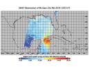
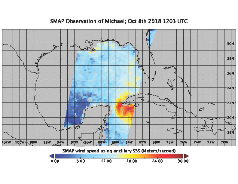
2018-10-09 | Earth |
SMAP |
792x612x3 | |
|
|||||
|
|
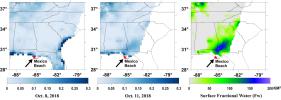
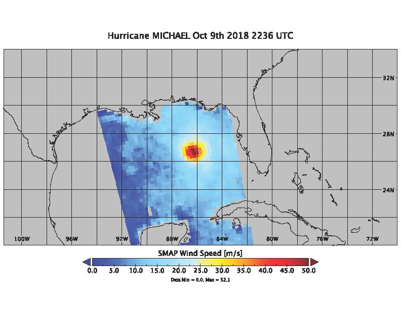
2018-10-10 | Earth |
SMAP |
792x612x3 | |

|
|||||
|
|
2018-10-11 | Earth |
SMAP |
2991x1065x3 | |
|
|||||
|
|
2019-05-17 | Earth |
SMAP |
1400x787x3 | |
|
|||||
|
|
2002-11-01 | Earth |
Shuttle Radar Topography Mission (SRTM) Terra |
ASTER C-Band Interferometric Radar |
1152x870x3 |

|
|||||
|
|
2002-11-01 | Earth |
Shuttle Radar Topography Mission (SRTM) Terra |
ASTER C-Band Interferometric Radar |
1152x870x3 |
|
|||||
|
|
2000-08-10 | Earth |
Shuttle Radar Topography Mission (SRTM) Terra |
ASTER C-Band Interferometric Radar |
1866x605x3 |

|
|||||
|
|
2004-06-23 | Earth |
Shuttle Radar Topography Mission (SRTM) Terra |
C-Band Interferometric Radar Multi-angle Imaging SpectroRadiometer (MISR) |
4149x2299x3 |
|
|||||
|
|
2005-01-14 | Earth |
Shuttle Radar Topography Mission (SRTM) Terra |
ASTER SIR-C/X-SAR |
1987x1840x3 |
|
|||||
|
|
2002-10-25 | Earth |
Shuttle Radar Topography Mission (SRTM) |
C-Band Interferometric Radar |
1152x870x3 |

|
|||||
|
|
2002-10-25 | Earth |
Shuttle Radar Topography Mission (SRTM) |
C-Band Interferometric Radar |
1152x870x3 |

|
|||||
|
|
2000-02-14 | Earth |
Shuttle Radar Topography Mission (SRTM) |
C-Band Interferometric Radar |
2400x2781x3 |
|
|||||
|
|
2000-02-14 | Earth |
Shuttle Radar Topography Mission (SRTM) |
C-Band Interferometric Radar |
1890x2270x1 |
|
|||||
|
|
2000-02-14 | Earth |
Shuttle Radar Topography Mission (SRTM) |
C-Band Interferometric Radar |
2257x2887x1 |

|
|||||
|
|
2000-02-15 | Earth |
Shuttle Radar Topography Mission (SRTM) |
C-Band Interferometric Radar |
2056x1194x3 |
|
|||||

|
 |
|
|
|
|
|
|
|
|
|

|
| 1-100 | 101-200 | 201-300 | 301-400 | 401-500 | 501-600 | 601-700 | 701-800 | 801-900 | 901-1000 |
| Currently displaying images: 1201 - 1300 of 2596 |