|
Your search criteria found 561 images Feature Name |
| My List |
Addition Date |
Target
|
Mission | Instrument | Size |

|
2019-03-18 | Mars |
Mars Reconnaissance Orbiter (MRO) |
HiRISE |
2880x1800x3 |

|
|||||
|
|
2021-03-30 | Mars |
Mars Science Laboratory (MSL) |
Mastcam |
1207x400x3 |
|
|||||
|
|
2021-04-06 | Mars |
Mars 2020 Rover |
Mastcam-Z |
1603x1192x3 |

|
|||||
|
|
2021-05-11 | Mars |
Mars 2020 Rover |
Mastcam-Z |
11363x4204x3 |
|
|||||
|
|
2021-05-12 | Mars |
Mars 2020 Rover |
Mastcam-Z |
1260x638x3 |

|
|||||
|
|
2021-06-25 | Mars |
Mars 2020 Rover |
Mastcam-Z |
1788x1870x3 |
|
|||||
|
|
2021-07-21 | Mars |
Mars 2020 Rover |
Mastcam-Z |
10178x4367x3 |
|
|||||
|
|
2021-07-21 | Mars |
Mars 2020 Rover |
Mastcam-Z |
5609x1296x3 |
|
|||||
|
|
2021-08-04 | Mars |
Mars Helicopter |
3808x3120x3 | |
|
|||||
|
|
2021-09-10 | Mars |
Mars 2020 Rover |
Mastcam-Z |
19564x5219x3 |
|
|||||
|
|
2021-09-17 | Mars |
Mars Helicopter |
1552x1153x3 | |
|
|||||
|
|
2022-05-18 | Mars |
Mars Science Laboratory (MSL) |
Mastcam |
7630x2295x3 |
|
|||||
|
|
2023-01-31 | Mars |
Mars Reconnaissance Orbiter (MRO) |
HiRISE |
2880x1800x3 |

|
|||||
|
|
2023-05-08 | Mars |
Mars Science Laboratory (MSL) |
MAHLI |
1580x1179x3 |
|
|||||
|
|
2023-05-18 | Mars |
Mars 2020 Rover |
Mastcam-Z |
9000x1191x3 |

|
|||||
|
|
2023-08-07 | Mars |
Mars 2020 Rover |
Mastcam-Z |
4160x1127x3 |

|
|||||
|
|
2023-08-31 | Mars |
Mars 2020 Rover |
Mastcam-Z |
9000x819x3 |

|
|||||
|
|
2023-11-06 | Mars |
Mars Science Laboratory (MSL) |
Navcam (MSL) |
7665x2111x1 |
|
|||||
|
|
2023-12-12 | Mars |
Mars 2020 Rover |
Mastcam-Z |
9000x2425x3 |

|
|||||
|
|
2024-04-03 | Mars |
Mars 2020 Rover |
Mastcam-Z |
4524x3334x3 |
|
|||||
|
|
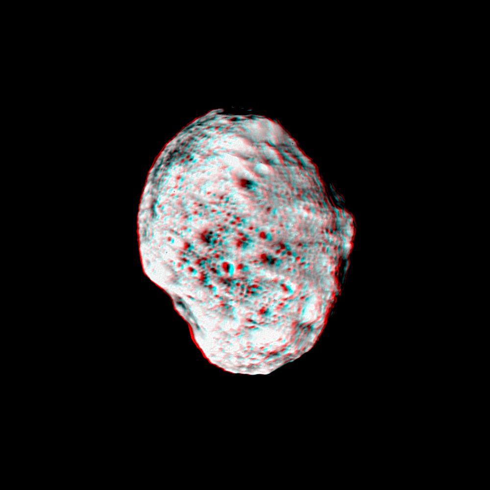
2005-01-07 | Iapetus |
Cassini-Huygens |
ISS - Narrow Angle |
749x748x3 |
|
|||||
|
|
2007-10-09 | Iapetus |
Cassini-Huygens |
ISS - Narrow Angle |
4082x1546x3 |
|
|||||
|
|
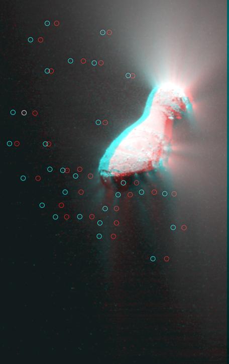
2005-07-11 | Hyperion |
Cassini-Huygens |
ISS - Narrow Angle |
1000x1000x3 |
|
|||||
|
|
2010-11-18 | Hartley 2 |
EPOXI |
Medium Resolution Instrument (MRI) |
456x722x3 |

|
|||||
|
|
1998-05-21 | Europa |
Galileo |
Solid-State Imaging |
856x407x3 |
|
|||||
|
|
1998-12-07 | Europa |
Galileo |
Solid-State Imaging |
1152x626x3 |
|
|||||
|
|
1999-01-18 | Europa |
Galileo |
Solid-State Imaging |
1050x520x3 |
|
|||||
|
|
2000-05-07 | Eros |
NEAR Shoemaker |
Multi-Spectral Imager |
670x416x3 |

|
|||||
|
|
2000-05-07 | Eros |
NEAR Shoemaker |
Multi-Spectral Imager |
500x531x3 |
|
|||||
|
|
2001-02-17 | Eros |
NEAR Shoemaker |
Multi-Spectral Imager |
1093x1119x3 |
|
|||||
|
|
2005-02-18 | Enceladus |
Cassini-Huygens |
ISS - Narrow Angle |
774x1020x3 |
|
|||||
|
|
2005-03-24 | Enceladus |
Cassini-Huygens |
ISS - Narrow Angle |
1357x1370x3 |
|
|||||
|
|
2005-03-24 | Enceladus |
Cassini-Huygens |
ISS - Narrow Angle |
1037x767x3 |
|
|||||
|
|
2005-03-24 | Enceladus |
Cassini-Huygens |
ISS - Narrow Angle |
1095x1087x3 |
|
|||||
|
|
2010-02-23 | Enceladus |
Cassini-Huygens |
Imaging Science Subsystem |
1145x1001x3 |
|
|||||
|
|
2000-04-19 | Earth |
Terra |
MISR |
1906x981x3 |
|
|||||
|
|
2000-06-20 | Earth |
Terra |
MISR |
2548x3800x3 |
|
|||||
|
|
2000-07-08 | Earth |
Terra |
MISR |
584x900x3 |
|
|||||
|
|
2000-08-02 | Earth |
Terra |
MISR |
959x861x3 |
|
|||||
|
|
2000-09-27 | Earth |
Terra |
MISR |
1148x819x3 |
|
|||||
|
|
2000-10-18 | Earth |
Terra |
MISR |
1728x1043x3 |
|
|||||
|
|
2000-12-13 | Earth |
Terra |
MISR |
1600x1261x3 |
|
|||||
|
|
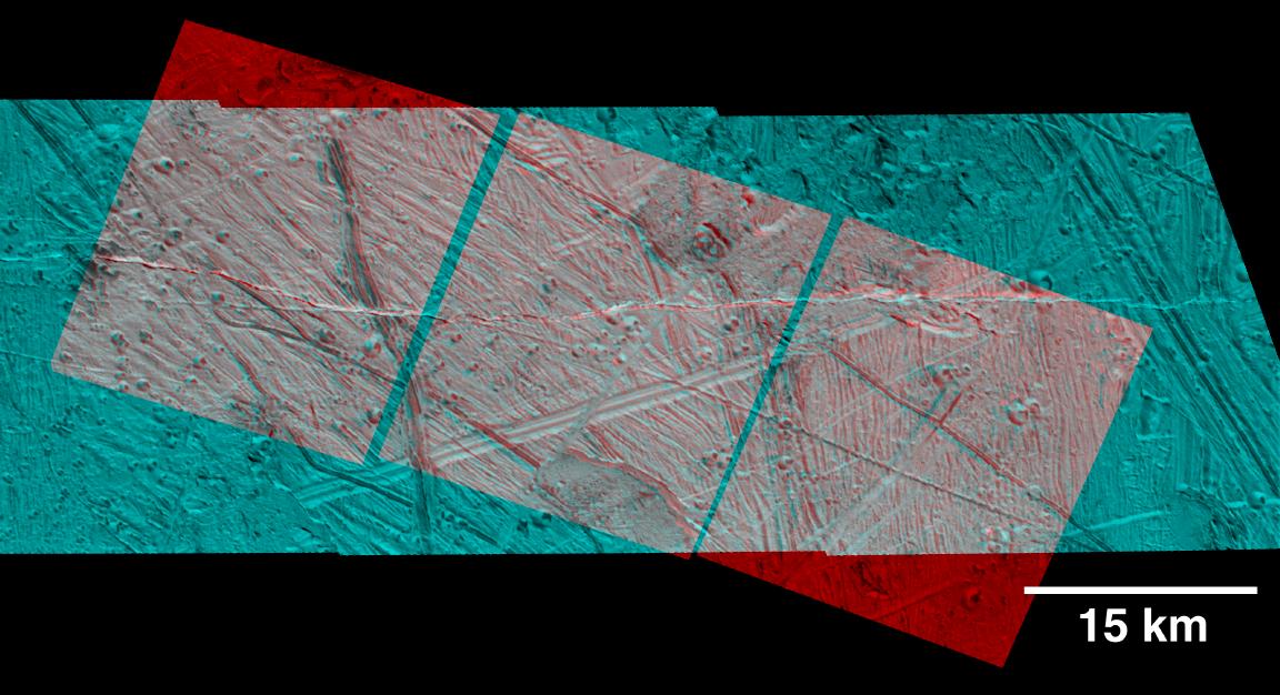
2000-02-16 | Earth |
Landsat Shuttle Radar Topography Mission (SRTM) |
C-Band Interferometric Radar Thematic Mapper |
1412x1588x3 |
|
|||||
|
|
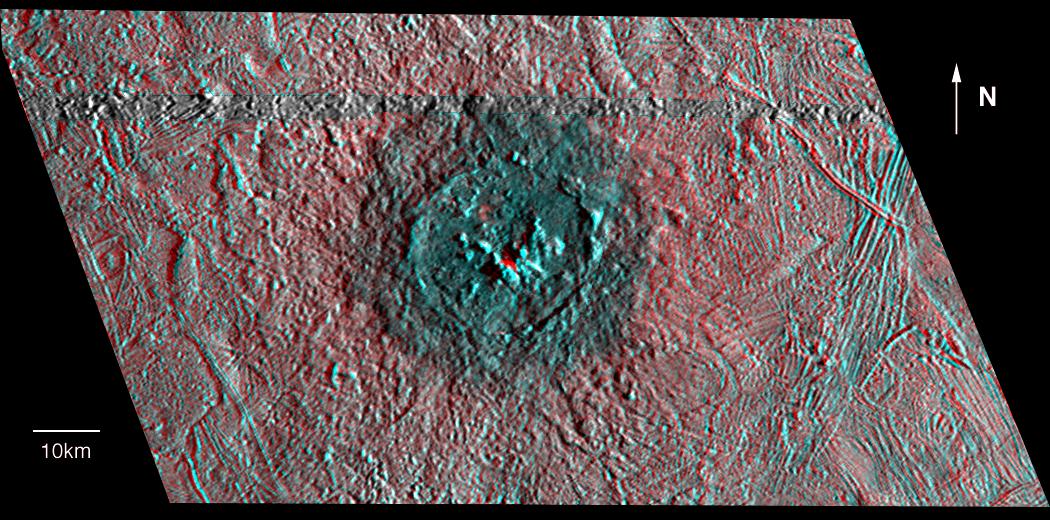
2000-02-18 | Earth |
Shuttle Radar Topography Mission (SRTM) |
C-Band Interferometric Radar |
737x797x3 |
|
|||||
|
|
2000-02-20 | Earth |
Landsat Shuttle Radar Topography Mission (SRTM) |
C-Band Interferometric Radar Thematic Mapper |
940x658x3 |
|
|||||
|
|
2000-02-21 | Earth |
Shuttle Radar Topography Mission (SRTM) |
C-Band Interferometric Radar |
1929x1800x3 |
|
|||||
|
|
2000-03-10 | Earth |
Landsat Shuttle Radar Topography Mission (SRTM) |
C-Band Interferometric Radar Thematic Mapper |
1218x1366x3 |
|
|||||
|
|
2000-04-13 | Earth |
Landsat Shuttle Radar Topography Mission (SRTM) |
C-Band Interferometric Radar Thematic Mapper |
839x651x3 |
|
|||||
|
|
2000-05-11 | Earth |
Landsat Shuttle Radar Topography Mission (SRTM) |
C-Band Interferometric Radar Thematic Mapper |
2158x1540x3 |
|
|||||
|
|
2000-06-01 | Earth |
Shuttle Radar Topography Mission (SRTM) |
C-Band Interferometric Radar |
669x1427x3 |
|
|
|||||
|
|
2000-06-22 | Earth |
Landsat Shuttle Radar Topography Mission (SRTM) |
C-Band Interferometric Radar Thematic Mapper |
2920x4236x3 |
|
|||||
|
|
2000-06-29 | Earth |
Landsat Shuttle Radar Topography Mission (SRTM) |
C-Band Interferometric Radar Thematic Mapper |
506x798x3 |
|
|||||
|
|
2000-07-13 | Earth |
Landsat Shuttle Radar Topography Mission (SRTM) |
C-Band Interferometric Radar Thematic Mapper |
1631x956x3 |
|
|||||
|
|
2000-07-20 | Earth |
Landsat Shuttle Radar Topography Mission (SRTM) |
C-Band Interferometric Radar Thematic Mapper |
718x907x3 |
|
|||||
|
|
2000-07-27 | Earth |
Landsat Shuttle Radar Topography Mission (SRTM) |
C-Band Interferometric Radar Thematic Mapper |
999x1335x3 |
|
|||||
|
|
2000-08-31 | Earth |
Landsat Shuttle Radar Topography Mission (SRTM) |
C-Band Interferometric Radar Thematic Mapper |
499x801x3 |

|
|||||
|
|
2000-09-21 | Earth |
Landsat Shuttle Radar Topography Mission (SRTM) |
C-Band Interferometric Radar Thematic Mapper |
1786x2356x3 |
|
|||||
|
|
2000-10-20 | Earth |
Landsat Shuttle Radar Topography Mission (SRTM) |
C-Band Interferometric Radar Thematic Mapper |
1212x1518x3 |
|
|||||
|
|
2000-11-02 | Earth |
Shuttle Radar Topography Mission (SRTM) |
C-Band Interferometric Radar |
1703x1181x3 |
|
|||||
|
|
2001-04-05 | Earth |
Landsat Shuttle Radar Topography Mission (SRTM) |
C-Band Interferometric Radar Thematic Mapper |
451x691x3 |

|
|||||
|
|
2001-05-02 | Earth |
Landsat Shuttle Radar Topography Mission (SRTM) |
C-Band Interferometric Radar Thematic Mapper |
477x745x3 |

|
|||||
|
|
2001-05-24 | Earth |
Landsat Shuttle Radar Topography Mission (SRTM) |
C-Band Interferometric Radar Thematic Mapper |
941x1304x3 |
|
|||||
|
|
2001-05-31 | Earth |
Landsat Shuttle Radar Topography Mission (SRTM) |
C-Band Interferometric Radar Thematic Mapper |
398x710x3 |
|
|||||
|
|
2001-06-14 | Earth |
Shuttle Radar Topography Mission (SRTM) |
C-Band Interferometric Radar |
1935x1240x3 |
|
|||||
|
|
2001-07-05 | Earth |
Shuttle Radar Topography Mission (SRTM) |
C-Band Interferometric Radar |
1600x1763x3 |
|
|||||
|
|
2001-07-26 | Earth |
Shuttle Radar Topography Mission (SRTM) |
C-Band Interferometric Radar |
2020x1350x3 |
|
|||||
|
|
2001-08-03 | Earth |
Shuttle Radar Topography Mission (SRTM) |
C-Band Interferometric Radar |
2501x1201x3 |
|
|||||
|
|
2001-08-16 | Earth |
Shuttle Radar Topography Mission (SRTM) |
C-Band Interferometric Radar |
1090x1480x3 |
|
|||||
|
|
2001-08-24 | Earth |
Shuttle Radar Topography Mission (SRTM) |
C-Band Interferometric Radar |
1630x1200x3 |
|
|||||
|
|
2001-09-01 | Earth |
Shuttle Radar Topography Mission (SRTM) |
C-Band Interferometric Radar |
1910x1215x3 |
|
|||||
|
|
2002-02-01 | Earth |
Landsat Shuttle Radar Topography Mission (SRTM) |
C-Band Interferometric Radar Thematic Mapper |
1384x2022x3 |
|
|||||
|
|
2002-02-06 | Earth |
Landsat Shuttle Radar Topography Mission (SRTM) |
C-Band Interferometric Radar Thematic Mapper |
925x2385x3 |
|
|
|||||
|
|
2002-02-28 | Earth |
Landsat Shuttle Radar Topography Mission (SRTM) |
C-Band Interferometric Radar Thematic Mapper |
1958x799x3 |
|
|||||
|
|
2001-05-16 | Earth |
Terra |
MISR |
1536x1579x3 |
|
|||||
|
|
2001-05-23 | Earth |
Terra |
MISR |
1300x1550x3 |
|
|||||
|
|
2001-06-20 | Earth |
Terra |
MISR |
1356x1932x3 |
|
|||||
|
|
2001-07-25 | Earth |
Terra |
MISR |
1594x1444x3 |
|
|||||
|
|
2001-08-01 | Earth |
Terra |
MISR |
1736x1328x3 |
|
|||||
|
|
2001-09-19 | Earth |
Terra |
MISR |
1737x981x3 |
|
|||||
|
|
2001-10-10 | Earth |
Terra |
MISR |
730x900x3 |
|
|||||
|
|
2001-11-28 | Earth |
Terra |
MISR |
1698x2372x3 |
|
|||||
|
|
2002-01-16 | Earth |
Terra |
MISR |
1728x1974x3 |
|
|||||
|
|
2002-03-13 | Earth |
Terra |
MISR |
1328x1229x3 |
|
|||||
|
|
2002-05-22 | Earth |
Terra |
MISR |
1063x1565x3 |

|
|||||
|
|
2002-06-12 | Earth |
Terra |
MISR |
1660x933x3 |
|
|||||
|
|
2002-09-12 | Earth |
Landsat Shuttle Radar Topography Mission (SRTM) |
C-Band Interferometric Radar Thematic Mapper |
339x620x3 |

|
|||||
|
|
2002-09-19 | Earth |
Landsat Shuttle Radar Topography Mission (SRTM) |
C-Band Interferometric Radar Thematic Mapper |
1009x1600x3 |

|
|||||
|
|
2002-09-26 | Earth |
Shuttle Radar Topography Mission (SRTM) |
C-Band Interferometric Radar |
1200x1200x3 |
|
|||||
|
|
2002-10-09 | Earth |
Terra |
MISR |
3584x3252x3 |

|
|||||
|
|
2002-11-13 | Earth |
Terra |
MISR |
1079x984x3 |

|
|||||
|
|
2003-01-02 | Earth |
Terra |
MISR |
1522x1789x3 |
|
|||||
|
|
2003-03-06 | Earth |
Shuttle Radar Topography Mission (SRTM) |
C-Band Interferometric Radar |
9600x7240x3 |

|
|||||
|
|
2003-03-06 | Earth |
Shuttle Radar Topography Mission (SRTM) |
C-Band Interferometric Radar |
1600x1080x3 |
|
|||||
|
|
2003-03-13 | Earth |
Shuttle Radar Topography Mission (SRTM) |
C-Band Interferometric Radar |
1587x1536x3 |
|
|||||
|
|
2003-03-26 | Earth |
Terra |
MISR |
1344x2219x3 |

|
|||||
|
|
2003-03-27 | Earth |
Shuttle Radar Topography Mission (SRTM) |
C-Band Interferometric Radar |
1573x2401x3 |
|
|||||
|
|
2003-04-09 | Earth |
Terra |
MISR |
1362x1824x3 |
|
|||||
|
|
2003-05-01 | Earth |
Landsat Shuttle Radar Topography Mission (SRTM) |
C-Band Interferometric Radar Thematic Mapper |
3262x3162x3 |
|
|||||
|
|
2003-06-19 | Earth |
Shuttle Radar Topography Mission (SRTM) |
C-Band Interferometric Radar |
7200x10886x3 |

|
|||||
|
|
2003-07-03 | Earth |
Landsat Shuttle Radar Topography Mission (SRTM) |
C-Band Interferometric Radar |
2805x1705x3 |
|
|||||

|
 |
|
|
|
 |
 |

|
| 1-100 | 101-200 | 201-300 | 301-400 | 401-500 | 501-600 |
| Currently displaying images: 401 - 500 of 561 |