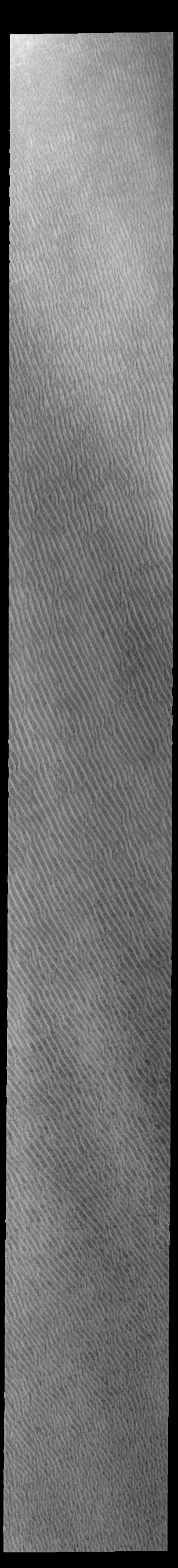
|
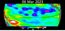
Your search criteria found 19741 images Target is Sun |
| My List |
Addition Date
|
Target | Mission | Instrument | Size |

|
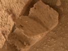
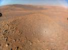
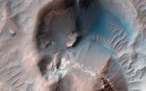
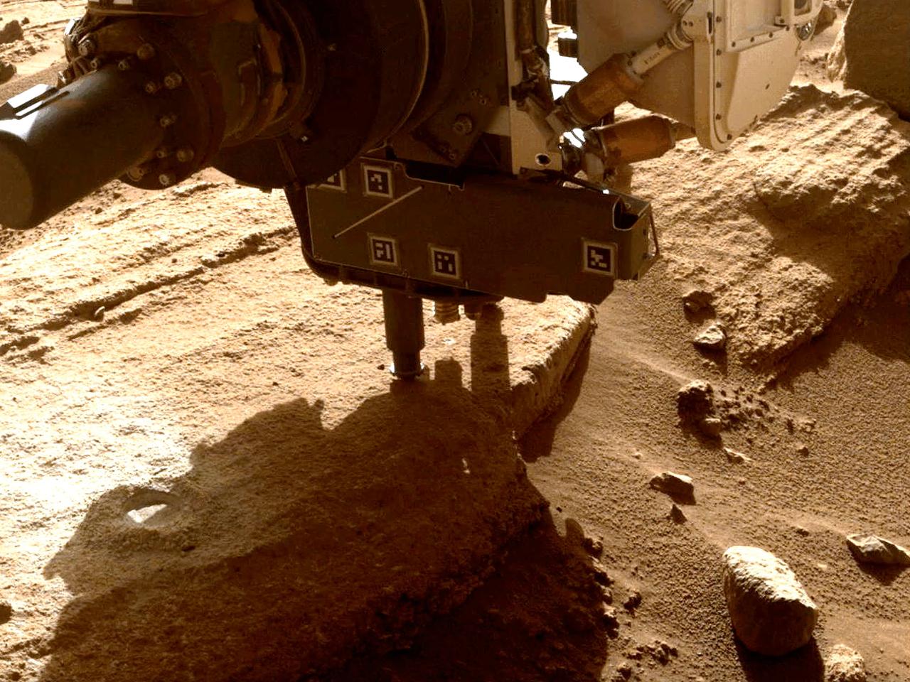
2023-06-08 | Mars |
Mars 2020 Rover |
12000x12000x3 | |
|
|||||
|
|
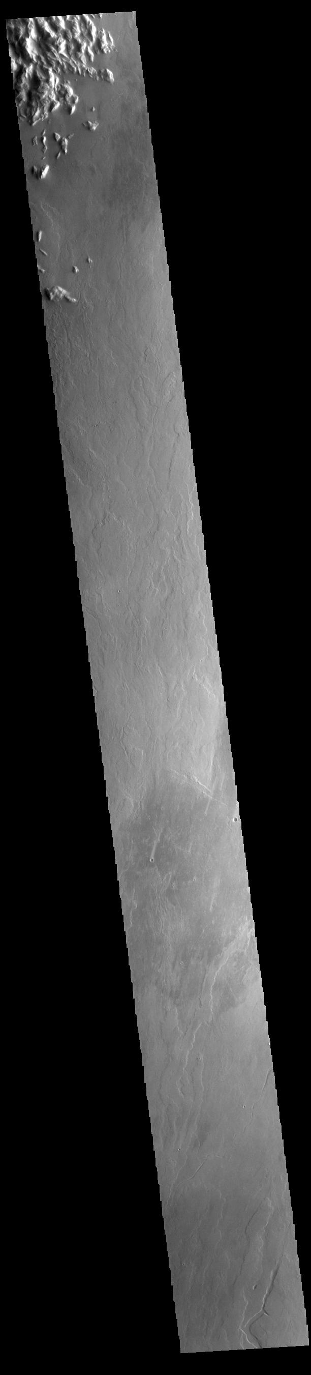
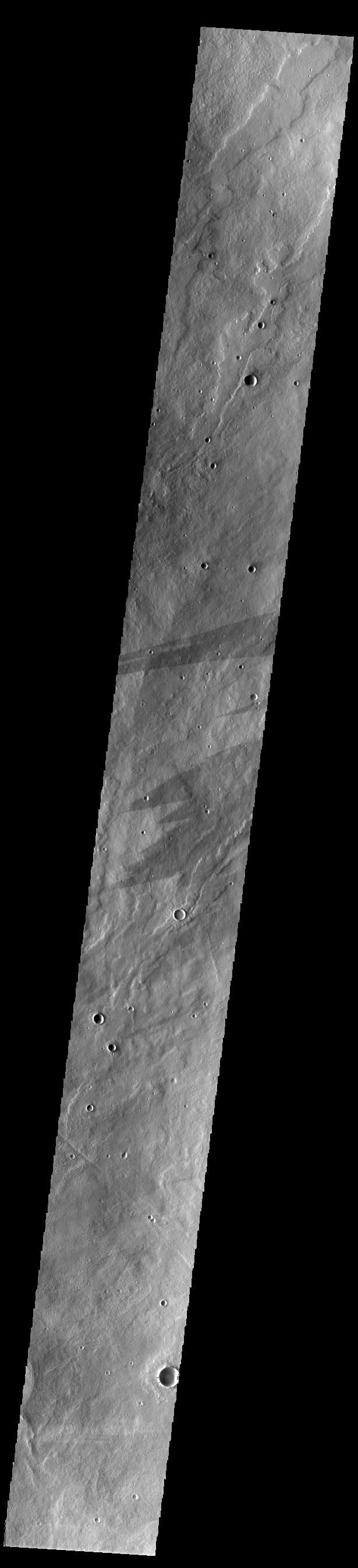
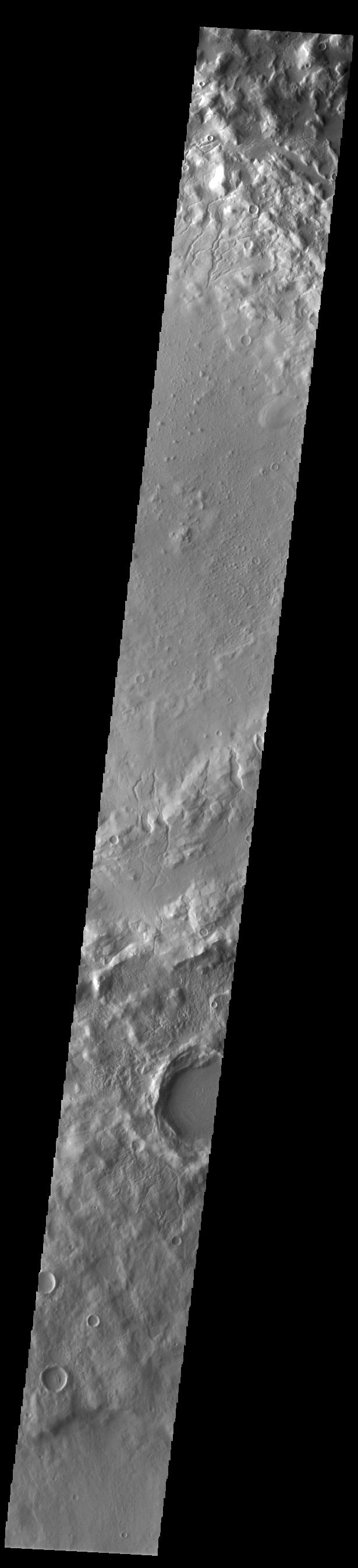
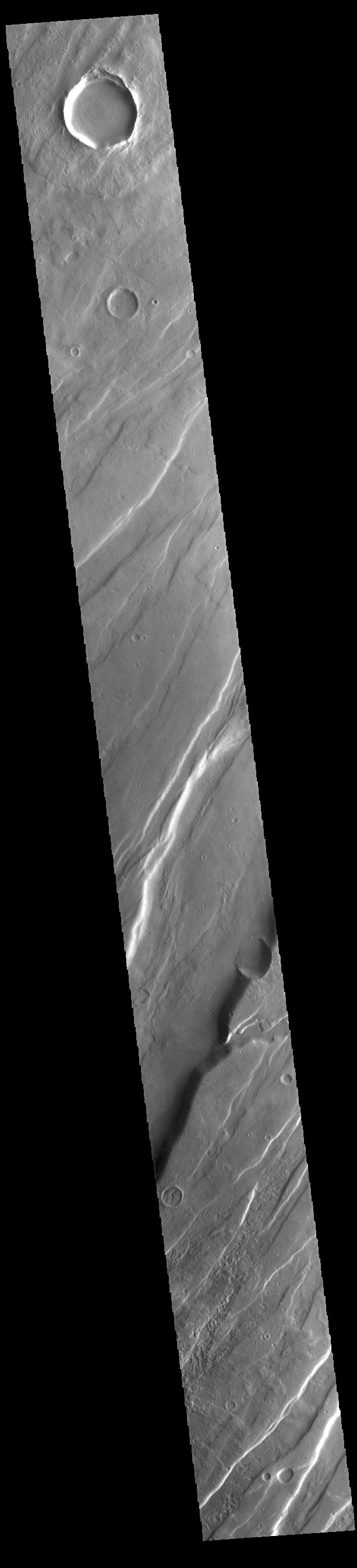
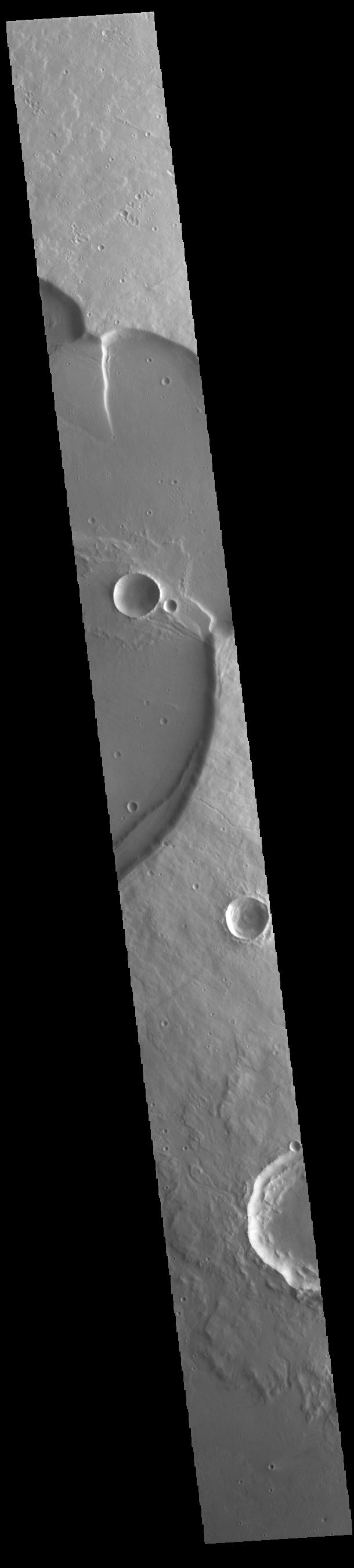
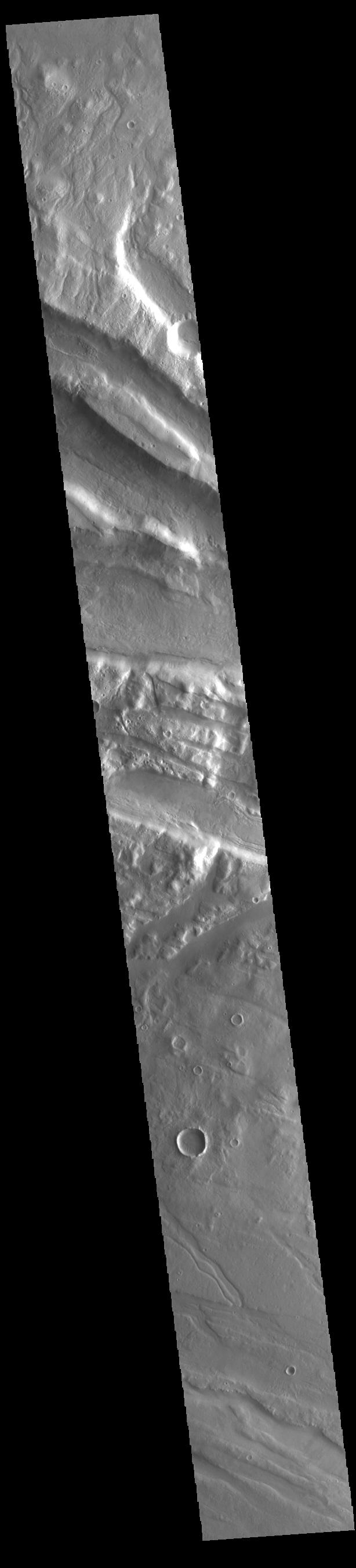
2023-06-08 | Mars |
2001 Mars Odyssey |
THEMIS |
614x2708x1 |
|
|
|||||
|
|
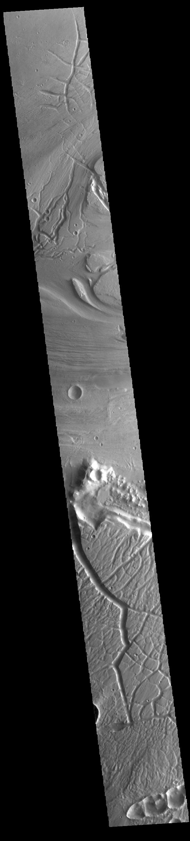
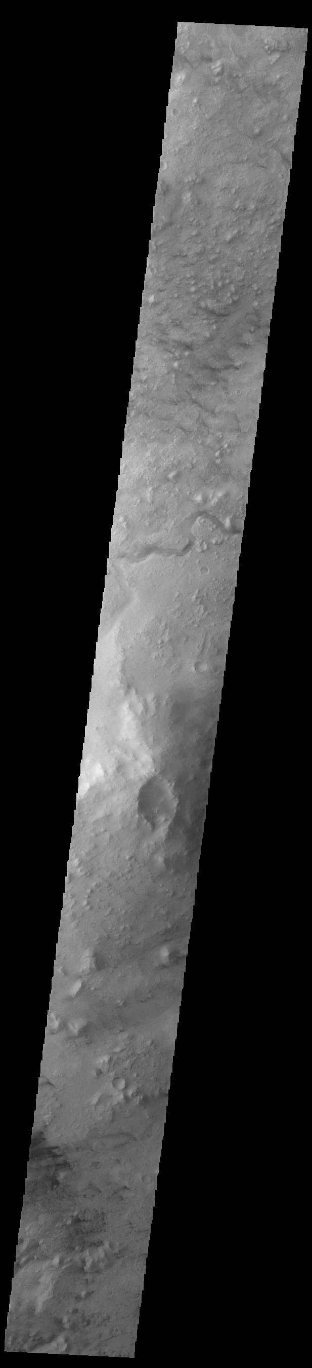
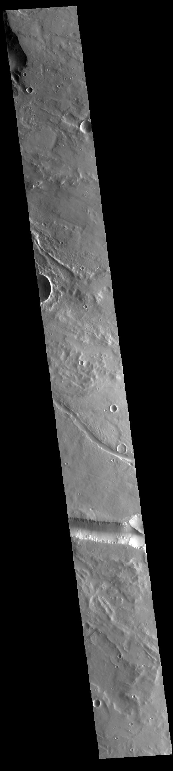
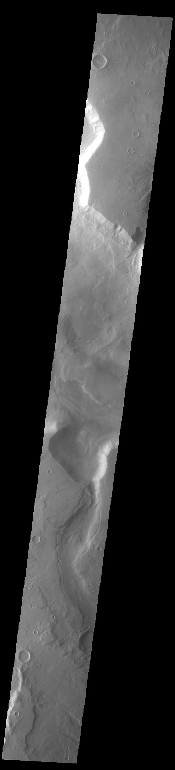
2023-06-07 | Mars |
2001 Mars Odyssey |
THEMIS |
716x1456x1 |
|
|
|||||
|
|
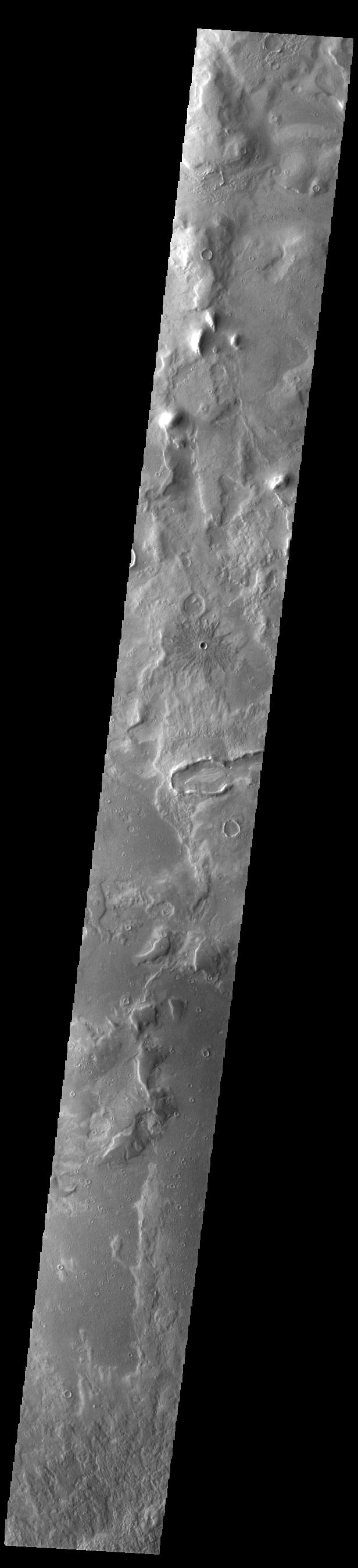
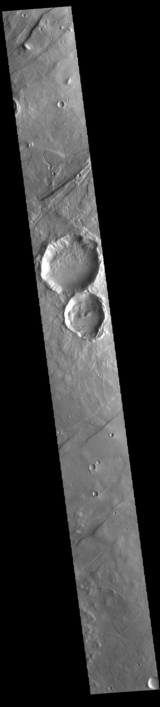
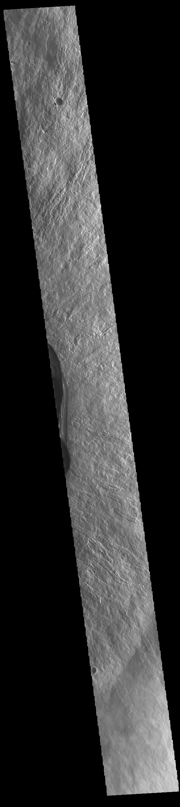
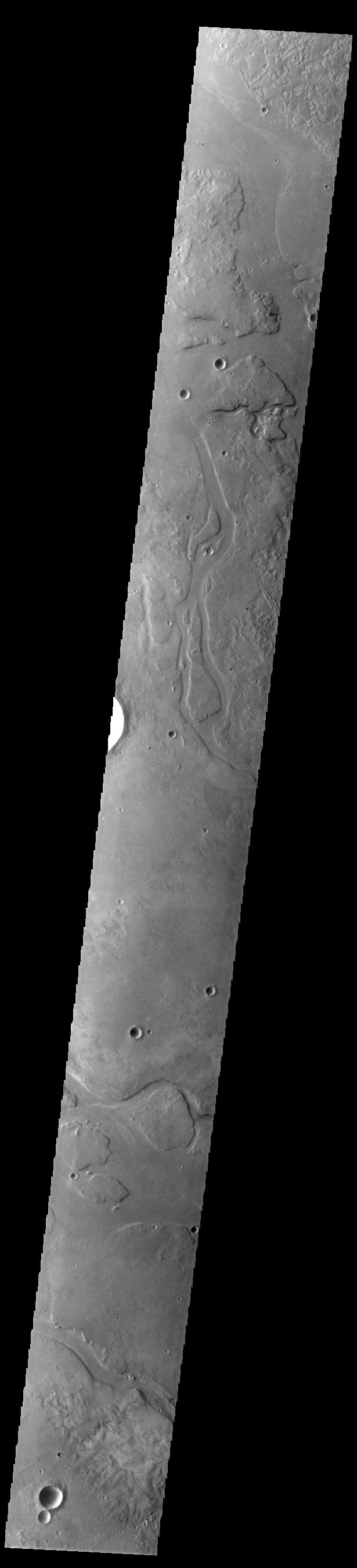
2023-06-06 | Mars |
2001 Mars Odyssey |
THEMIS |
609x2701x1 |
|
|
|||||
|
|
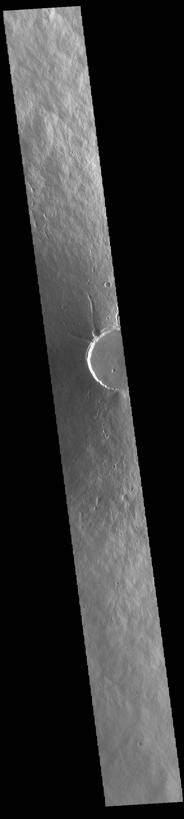
2023-06-05 | Mars |
2001 Mars Odyssey |
THEMIS |
610x2709x1 |
|
|
|||||
|
|
2023-06-02 | Mars |
2001 Mars Odyssey |
THEMIS |
717x1456x1 |
|
|
|||||
|
|
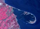
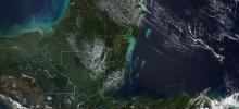
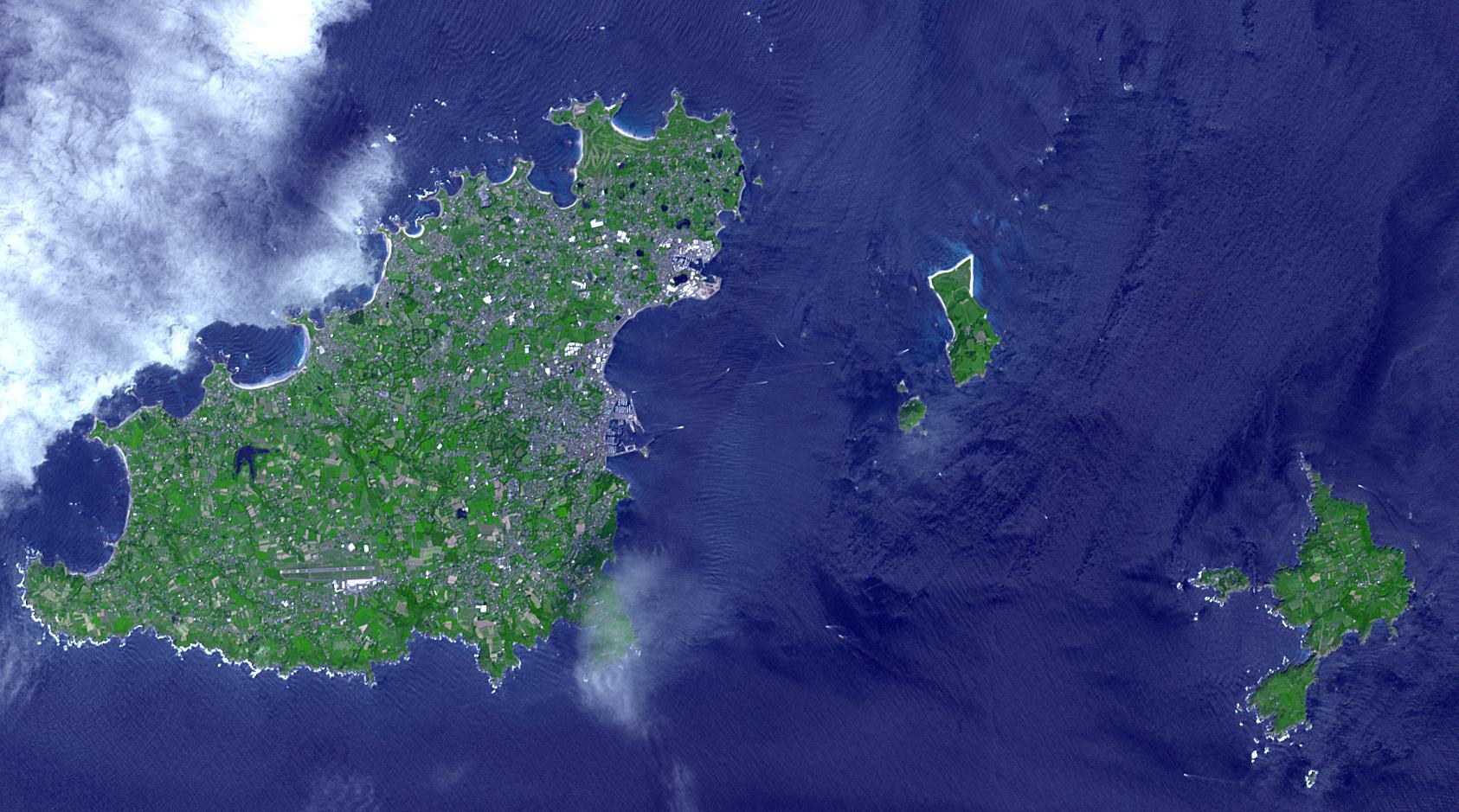
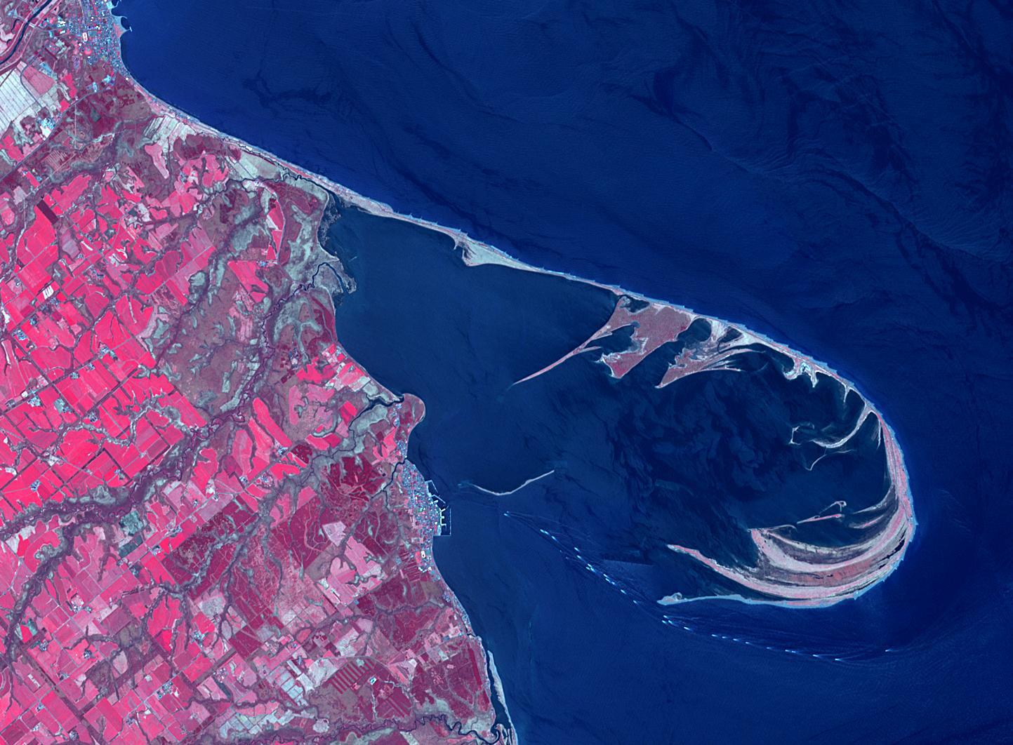
2023-06-01 | Earth |
Terra |
ASTER |
1400x1176x3 |

|
|||||
|
|
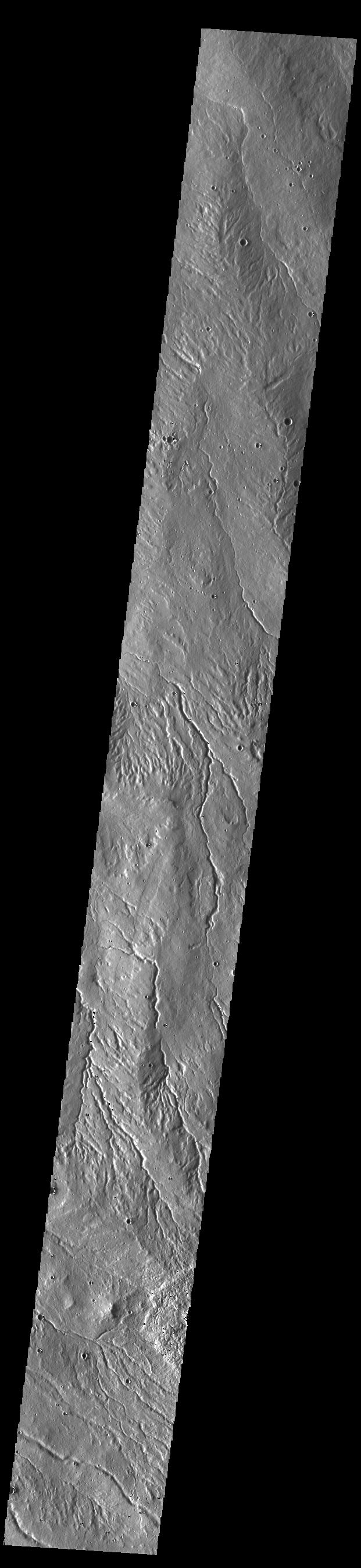
2023-06-01 | Mars |
2001 Mars Odyssey |
THEMIS |
618x2693x1 |
|
|
|||||
|
|
2023-05-31 | Mars |
2001 Mars Odyssey |
THEMIS |
712x1447x1 |
|
|
|||||
|
|
2023-05-30 | Mars |
2001 Mars Odyssey |
THEMIS |
612x2703x1 |
|
|
|||||
|
|
2023-05-29 | Mars |
2001 Mars Odyssey |
THEMIS |
610x2698x1 |
|
|
|||||
|
|
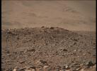
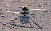
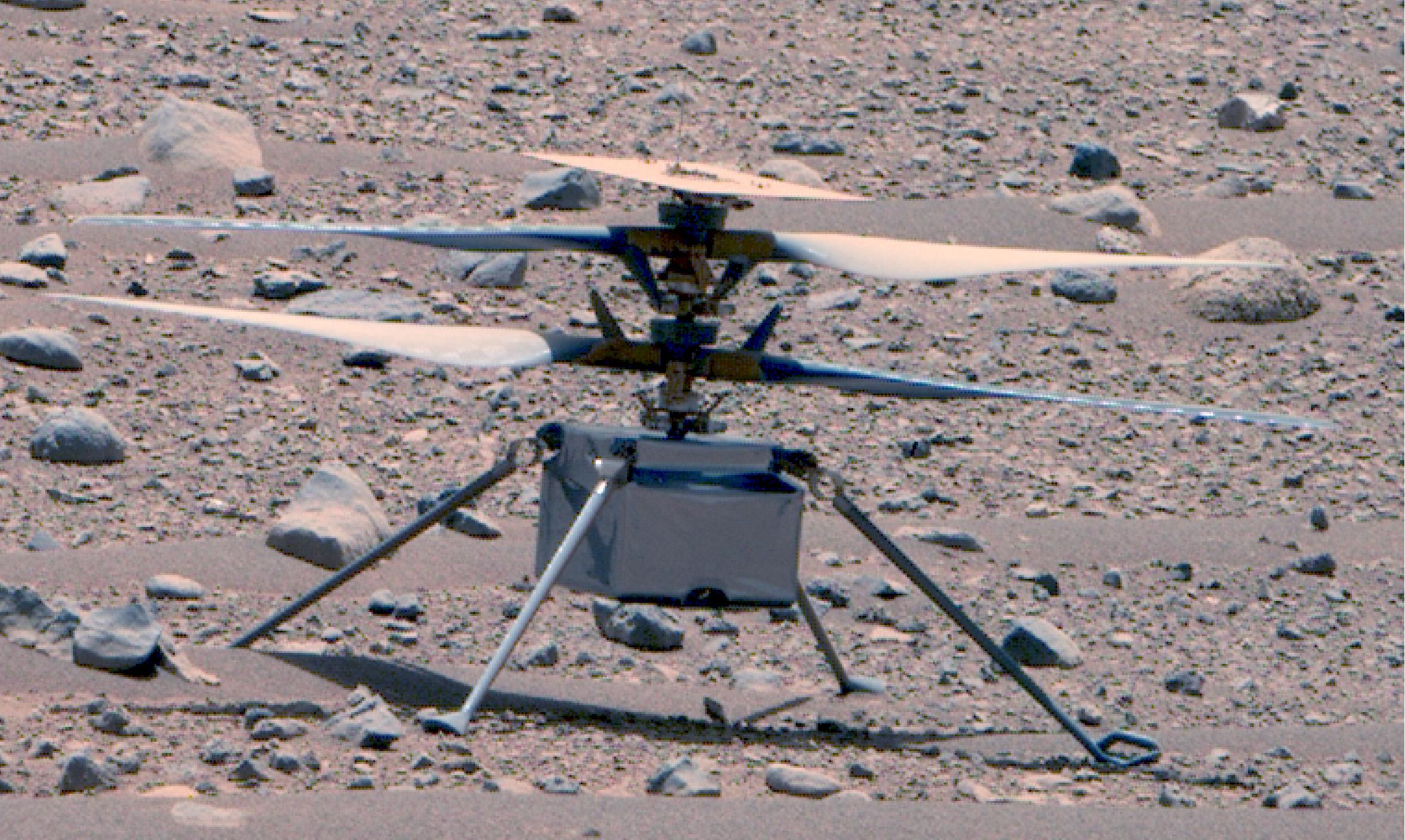
2023-05-26 | Mars |
Mars Helicopter |
1627x1125x3 | |

|
|||||
|
|
2023-05-26 | Mars |
Mars Helicopter |
4208x3120x3 | |

|
|||||
|
|
2023-05-26 | Mars |
2001 Mars Odyssey |
THEMIS |
611x2693x1 |
|
|
|||||
|
|
2023-05-25 | Earth |
Terra |
ASTER |
1413x1143x3 |
|
|||||
|
|
2023-05-25 | Mars |
2001 Mars Odyssey |
THEMIS |
612x2700x1 |
|
|
|||||
|
|
2023-05-24 | Mars |
2001 Mars Odyssey |
THEMIS |
612x2701x1 |
|
|
|||||
|
|
2023-05-23 | Mars |
2001 Mars Odyssey |
THEMIS |
618x2696x1 |
|
|
|||||
|
|
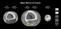
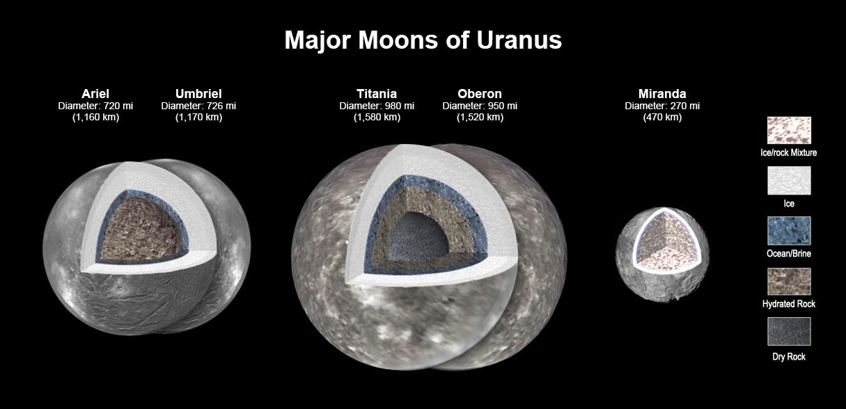
2023-05-23 | Uranus |
Very Large Array |
1166x458x3 | |
|
|||||
|
|
2023-05-22 | Mars |
2001 Mars Odyssey |
THEMIS |
611x2702x1 |
|
|
|||||
|
|
2023-05-19 | Mars |
2001 Mars Odyssey |
THEMIS |
620x2696x1 |
|
|
|||||
|
|
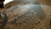
2023-05-18 | Mars |
Mars 2020 Rover |
Mastcam-Z |
9000x1191x3 |
|
|||||
|
|
2023-05-18 | Mars |
2001 Mars Odyssey |
THEMIS |
613x2701x1 |
|
|
|||||
|
|
2023-05-17 | Mars |
2001 Mars Odyssey |
THEMIS |
611x2707x1 |
|
|
|||||
|
|
2023-05-16 | Mars |
2001 Mars Odyssey |
THEMIS |
612x2699x1 |
|
|
|||||
|
|
2023-05-15 | Earth | 1440x700x3 | ||

|
|||||
|
|
2023-05-15 | Earth | 1440x700x3 | ||
|
|||||
|
|
2023-05-15 | Mars |
2001 Mars Odyssey |
THEMIS |
605x2703x1 |
|
|
|||||
|
|
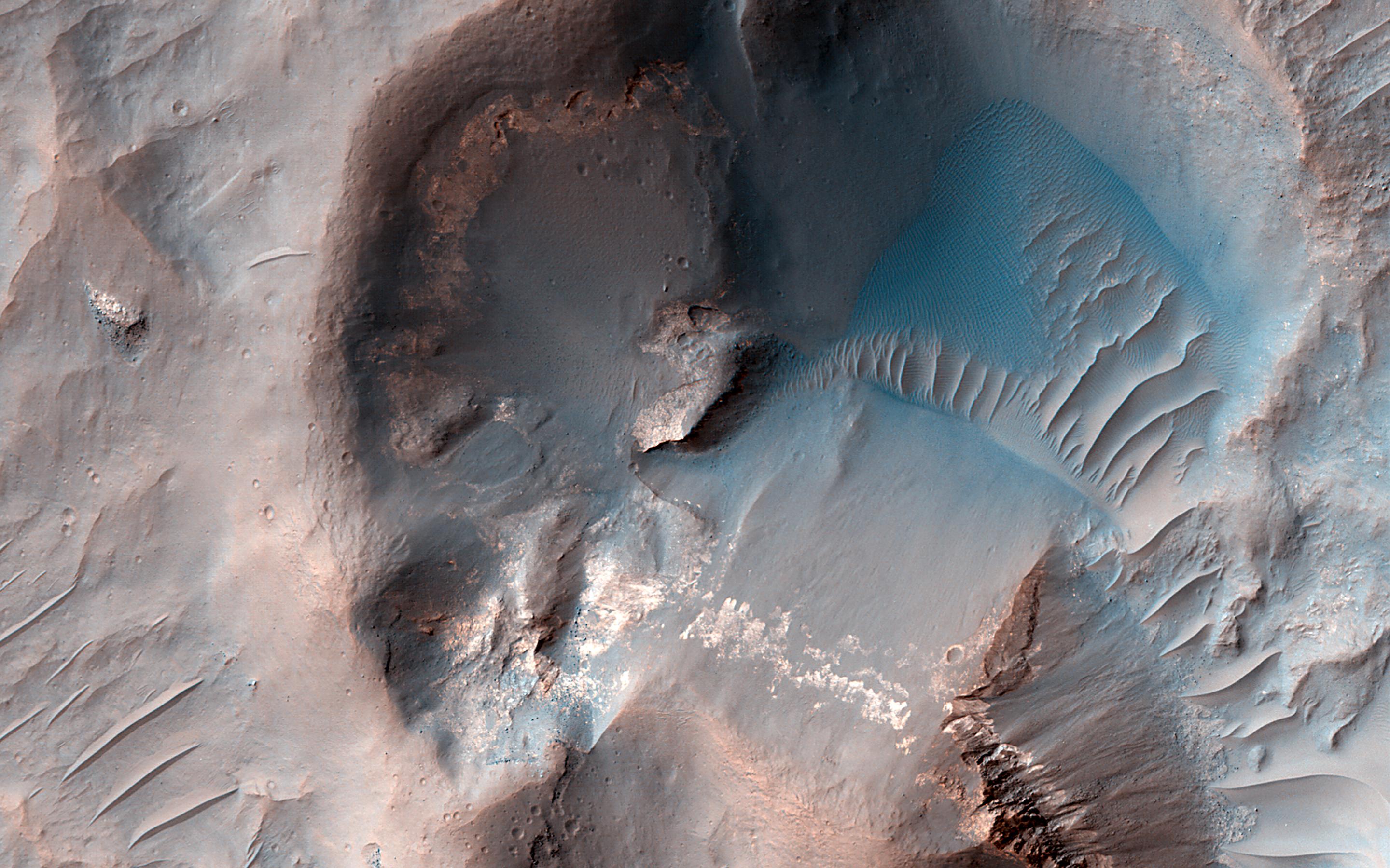
2023-05-12 | Mars |
Mars Reconnaissance Orbiter (MRO) |
HiRISE |
2880x1800x3 |
|
|||||
|
|
2023-05-12 | Mars |
Mars Reconnaissance Orbiter (MRO) |
HiRISE |
2880x1800x3 |

|
|||||
|
|
2023-05-12 | Mars |
Mars Reconnaissance Orbiter (MRO) |
HiRISE |
2880x1800x3 |
|
|||||
|
|
2023-05-12 | Mars |
Mars Reconnaissance Orbiter (MRO) |
HiRISE |
2880x1800x3 |
|
|||||
|
|
2023-05-12 | Earth |
Sentinel-6/Jason-CS |
875x415x3 | |
|
|||||
|
|
2023-05-12 | Mars |
2001 Mars Odyssey |
THEMIS |
611x2705x1 |
|
|
|||||
|
|
2023-05-11 | Mars |
Mars 2020 Rover |
Mastcam-Z |
4345x2113x3 |
|
|||||
|
|
2023-05-11 | Mars |
Mars 2020 Rover |
Mastcam-Z |
8323x3435x3 |
|
|||||
|
|
2023-05-11 | Mars |
Mars 2020 Rover |
Mastcam-Z |
9000x3083x3 |
|
|||||
|
|
2023-05-11 | Mars |
2001 Mars Odyssey |
THEMIS |
621x2698x1 |
|
|
|||||
|
|
2023-05-10 | Mars |
2001 Mars Odyssey |
THEMIS |
612x2703x1 |
|
|
|||||
|
|
2023-05-09 | Mars |
2001 Mars Odyssey |
THEMIS |
611x2696x1 |
|
|
|||||
|
|
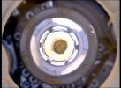
2023-05-08 | Mars |
Mars Science Laboratory (MSL) |
MAHLI |
1580x1179x3 |
|
|||||
|
|
2023-05-08 | Mars |
2001 Mars Odyssey |
THEMIS |
616x2697x1 |
|
|
|||||
|
|
2023-05-05 | Mars |
2001 Mars Odyssey |
THEMIS |
606x2695x1 |
|
|
|||||
|
|
2023-05-04 | Uranus |
Voyager |
1215x588x3 | |
|
|||||
|
|
2023-05-04 | Mars |
2001 Mars Odyssey |
THEMIS |
611x2703x1 |
|
|
|||||
|
|
2023-05-03 | Mars |
2001 Mars Odyssey |
THEMIS |
610x2699x1 |
|
|
|||||
|
|
2023-05-02 | Mars |
2001 Mars Odyssey |
THEMIS |
620x2701x1 |
|
|
|||||
|
|
2023-05-01 | Mars |
2001 Mars Odyssey |
THEMIS |
615x2696x1 |
|
|
|||||
|
|
2023-04-28 | Mars |
2001 Mars Odyssey |
THEMIS |
615x2694x1 |
|
|
|||||
|
|
2023-04-27 | Earth |
Terra |
ASTER |
1686x939x3 |

|
|||||
|
|
2023-04-27 | Mars |
2001 Mars Odyssey |
THEMIS |
609x2703x1 |
|
|
|||||
|
|
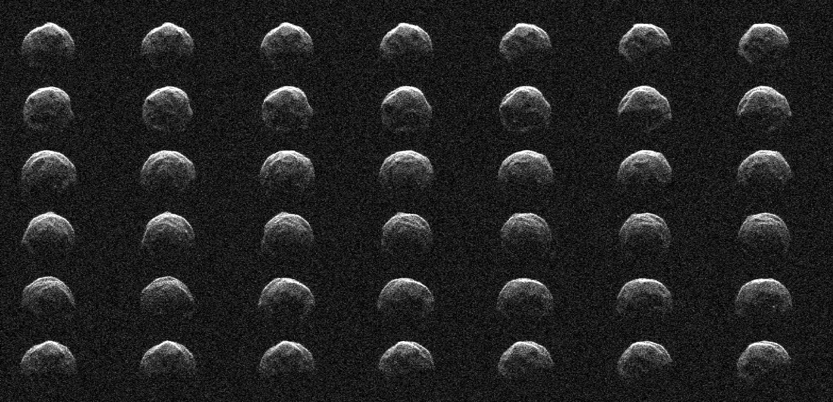
2023-04-26 | Asteroid |
Deep Space Network (DSN) |
Deep Space Network |
2922x1411x1 |
|
|||||
|
|
2023-04-26 | Mars |
2001 Mars Odyssey |
THEMIS |
307x2702x1 |
|
|
|||||
|
|
2023-04-25 | Mars |
2001 Mars Odyssey |
THEMIS |
627x2699x1 |
|
|
|||||
|
|
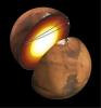
2023-04-24 | Mars |
InSight |
1591x1718x3 | |
|
|||||
|
|
2023-04-24 | Mars |
Mars Helicopter |
4208x3120x3 | |
|
|||||
|
|
2023-04-24 | Mars |
2001 Mars Odyssey |
THEMIS |
613x2705x1 |
|
|
|||||
|
|
2023-04-21 | Mars |
2001 Mars Odyssey |
THEMIS |
615x2703x1 |
|
|
|||||
|
|
2023-04-20 | Mars |
Mars Helicopter |
1648x1200x3 | |
|
|||||
|
|
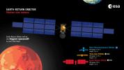
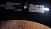
2023-04-20 | Mars |
Mars Sample Return (MSR) |
3840x2160x3 | |
|
|||||
|
|
2023-04-20 | Mars |
2001 Mars Odyssey |
THEMIS |
615x2693x1 |
|
|
|||||
|
|
2023-04-19 | Mars |
Mars Helicopter |
6523x4889x3 | |
|
|||||
|
|
2023-04-19 | Mars |
2001 Mars Odyssey |
THEMIS |
617x2700x1 |
|
|
|||||
|
|
2023-04-18 | Mars |
Mars 2020 Rover |
Mastcam-Z |
2274x1360x3 |
|
|||||
|
|
2023-04-18 | Mars |
2001 Mars Odyssey |
THEMIS |
614x2701x1 |
|
|
|||||
|
|
2023-04-17 | Mars |
2001 Mars Odyssey |
THEMIS |
615x2702x1 |
|
|
|||||
|
|
2023-04-14 | Mars |
2001 Mars Odyssey |
THEMIS |
611x2699x1 |
|
|
|||||
|
|
2023-04-13 | Mars |
Mars Reconnaissance Orbiter (MRO) |
HiRISE |
2880x1800x3 |
|
|||||
|
|
2023-04-13 | Mars |
Mars Reconnaissance Orbiter (MRO) |
HiRISE |
2880x1800x3 |
|
|||||
|
|
2023-04-13 | Mars |
Mars Reconnaissance Orbiter (MRO) |
HiRISE |
2880x1800x3 |
|
|||||
|
|
2023-04-13 | Mars |
Mars Reconnaissance Orbiter (MRO) |
HiRISE |
2880x1800x3 |
|
|||||
|
|
2023-04-13 | Mars |
2001 Mars Odyssey |
THEMIS |
613x2695x1 |
|
|
|||||
|
|
2023-04-12 | Earth |
Terra |
ASTER |
1443x1062x3 |
|
|||||
|
|
2023-04-12 | Mars |
2001 Mars Odyssey |
THEMIS |
621x2694x1 |
|
|
|||||
|
|
2023-04-11 | Mars |
2001 Mars Odyssey |
THEMIS |
610x2702x1 |
|
|
|||||
|
|
2023-04-10 | Mars |
2001 Mars Odyssey |
THEMIS |
609x2702x1 |
|
|
|||||
|
|
2023-04-07 | Mars |
2001 Mars Odyssey |
THEMIS |
603x2701x1 |
|
|
|||||
|
|
2023-04-06 | Mars |
Mars Sample Return (MSR) |
3840x2160x3 | |
|
|||||
|
|
2023-04-06 | Mars |
Mars Sample Return (MSR) |
2888x1624x3 | |
|
|||||
|
|
2023-04-06 | Mars |
Mars Sample Return (MSR) |
8000x4500x3 | |
|
|||||
|
|
2023-04-06 | Mars |
Mars Sample Return (MSR) |
2888x1624x3 | |
|
|||||
|
|
2023-04-06 | Mars |
2001 Mars Odyssey |
THEMIS |
309x2703x1 |
|
|
|||||
|
|
2023-04-05 | Earth |
MODIS |
MODIS |
2550x3300x3 |
|
|||||
|
|
2023-04-05 | Earth |
MODIS |
MODIS |
4579x2083x3 |
|
|||||
|
|
2023-04-05 | Mars |
2001 Mars Odyssey |
THEMIS |
614x2702x1 |
|
|
|||||
|
|
2023-04-04 | Mars |
2001 Mars Odyssey |
THEMIS |
614x2698x1 |
|
|
|||||
|
|
2023-04-03 | Mars |
2001 Mars Odyssey |
THEMIS |
615x2700x1 |
|
|
|||||
|
|
2023-03-31 | Mars |
Mars 2020 Rover |
Mastcam-Z |
1648x1200x3 |
|
|||||
|
|
2023-03-31 | Mars |
Mars 2020 Rover |
Hazard Avoidance Camera (M2020) |
1280x960x3 |

|
|||||
|
|
2023-03-31 | Mars |
Mars 2020 Rover |
Hazard Avoidance Camera (M2020) |
5120x2880x3 |
|
|||||
|
|
2023-03-31 | Mars |
2001 Mars Odyssey |
THEMIS |
614x2694x1 |
|
|
|||||
|
|
2023-03-30 | Mars |
Mars Sample Return (MSR) |
11250x6250x3 | |

|
|||||
|
|
2023-03-30 | Mars |
2001 Mars Odyssey |
THEMIS |
612x2696x1 |
|
|
|||||
|
|
2023-03-29 | Mars |
2001 Mars Odyssey |
THEMIS |
613x2699x1 |
|
|
|||||
|
|
2023-03-28 | Mars |
2001 Mars Odyssey |
THEMIS |
599x2723x1 |
|
|
|||||
|
|
2023-03-27 | Mars |
2001 Mars Odyssey |
THEMIS |
594x2726x1 |
|
|
|||||
|
|
2023-03-24 | Mars |
2001 Mars Odyssey |
THEMIS |
607x2711x1 |
|
|
|||||
|
|
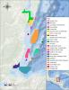
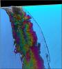
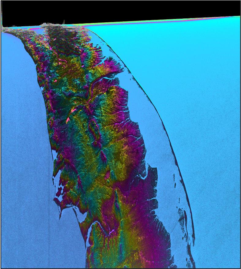
2023-03-24 | Earth |
Surface Water and Ocean Topography (SWOT) |
KaRIn |
787x879x3 |
|
|||||
|
|
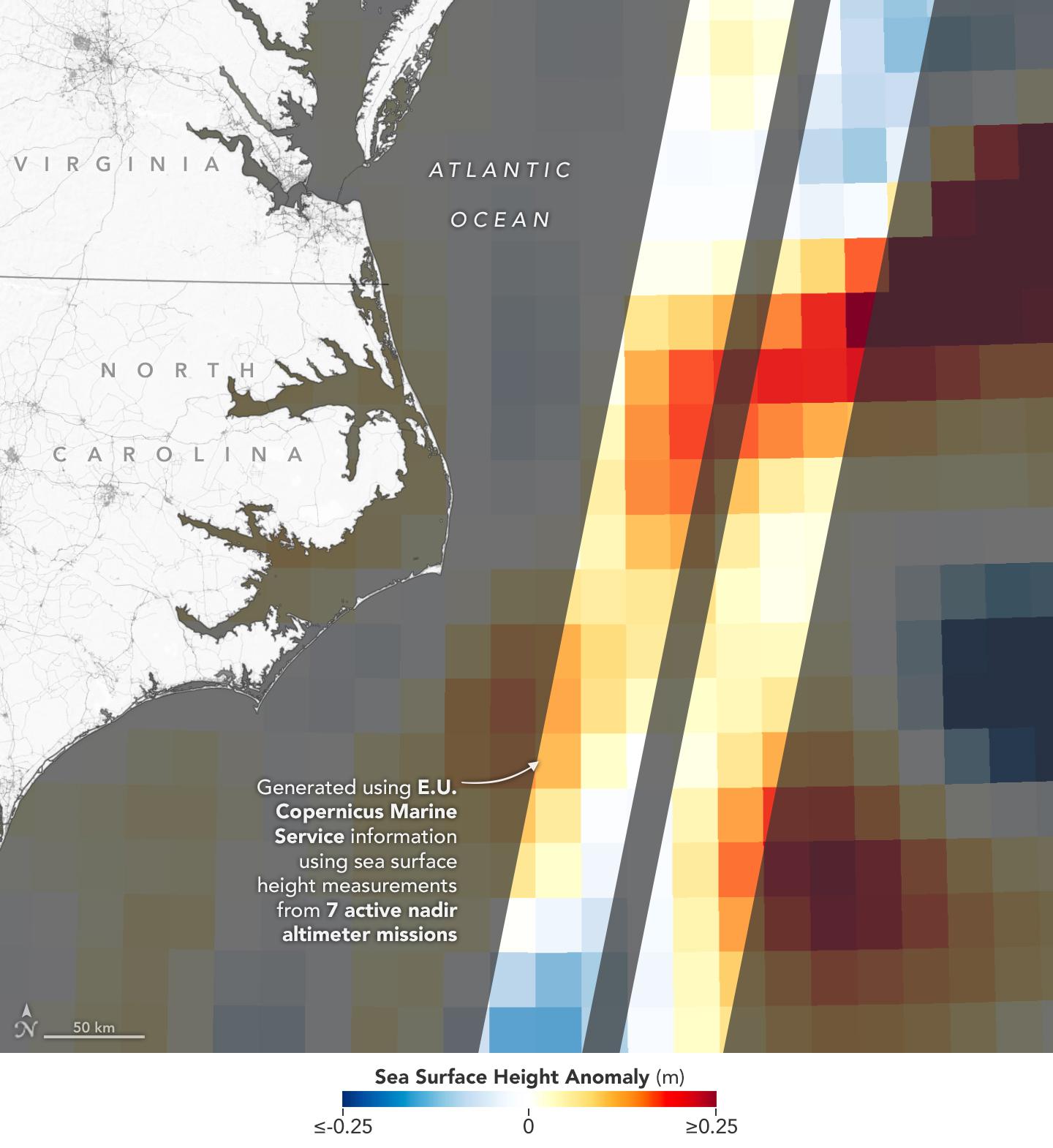
2023-03-24 | Earth | 1440x1570x3 | ||

|
|||||
|
|
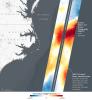
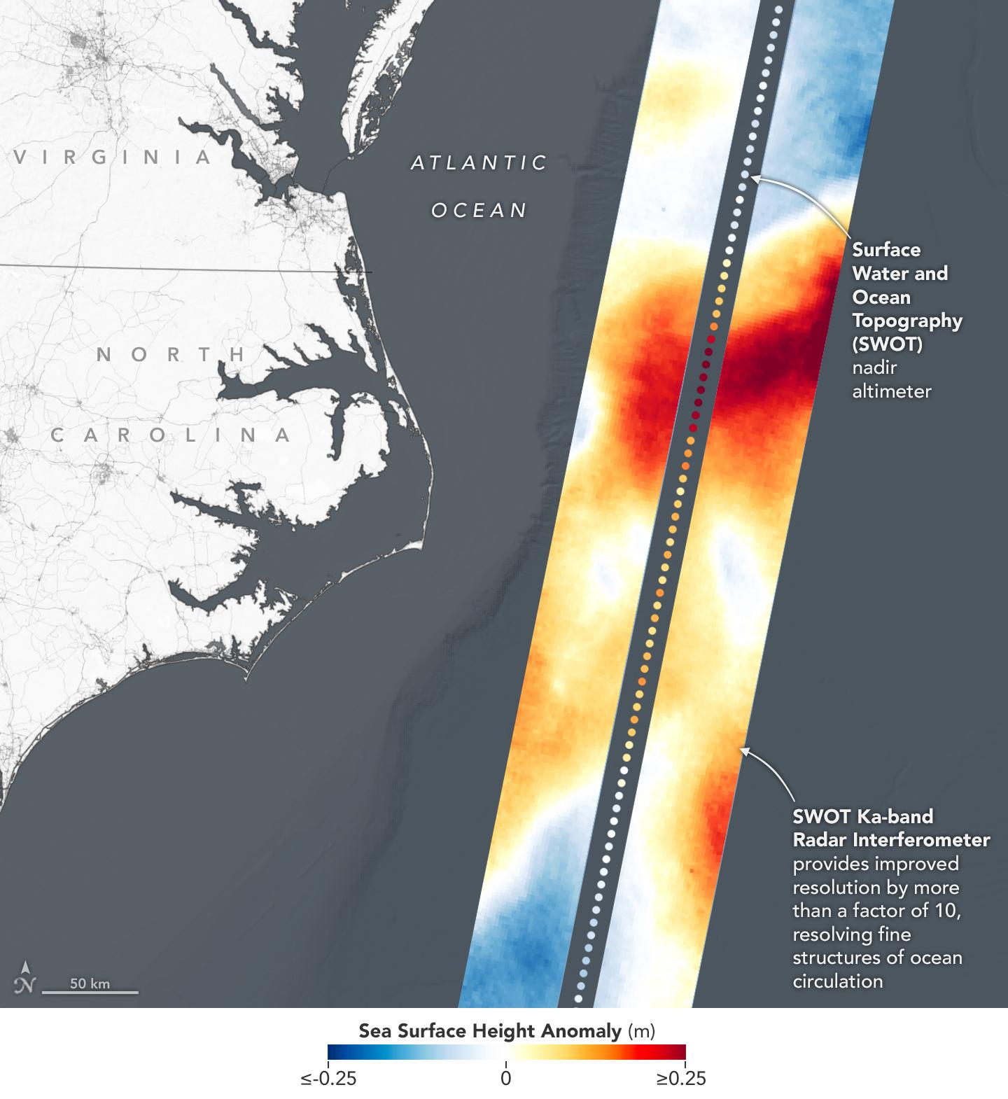
2023-03-24 | Earth |
Surface Water and Ocean Topography (SWOT) |
KaRIn |
1440x1570x3 |
|
|||||

|
 |
|
|
|
 |
 |
|
|
|
|

|
| 1-100 | 101-200 | 201-300 | 301-400 | 401-500 | 501-600 | 601-700 | 701-800 | 801-900 | 901-1000 |
| Currently displaying images: 401 - 500 of 19741 |