|
Your search criteria found 19741 images Target is Sun |
| My List |
Addition Date
|
Target | Mission | Instrument | Size |

|
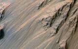
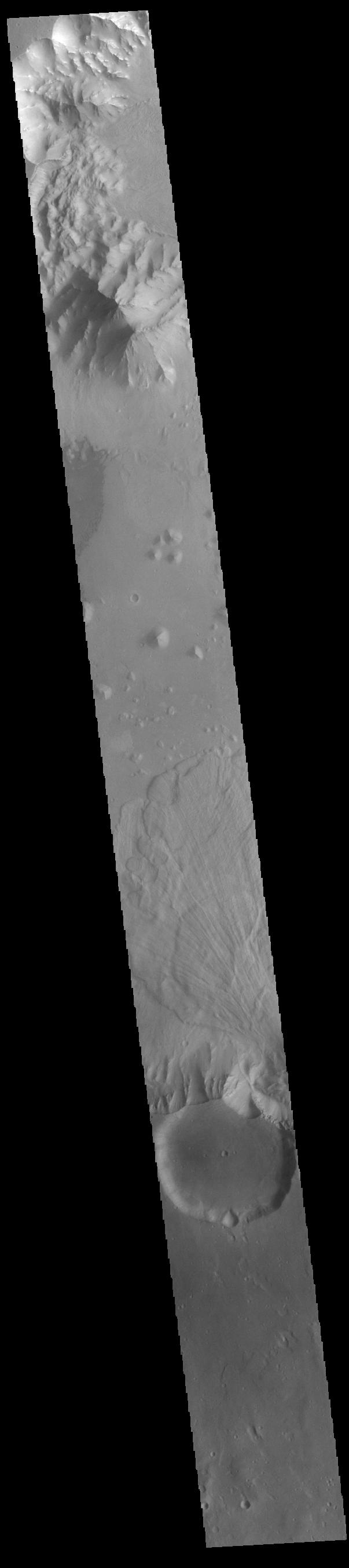
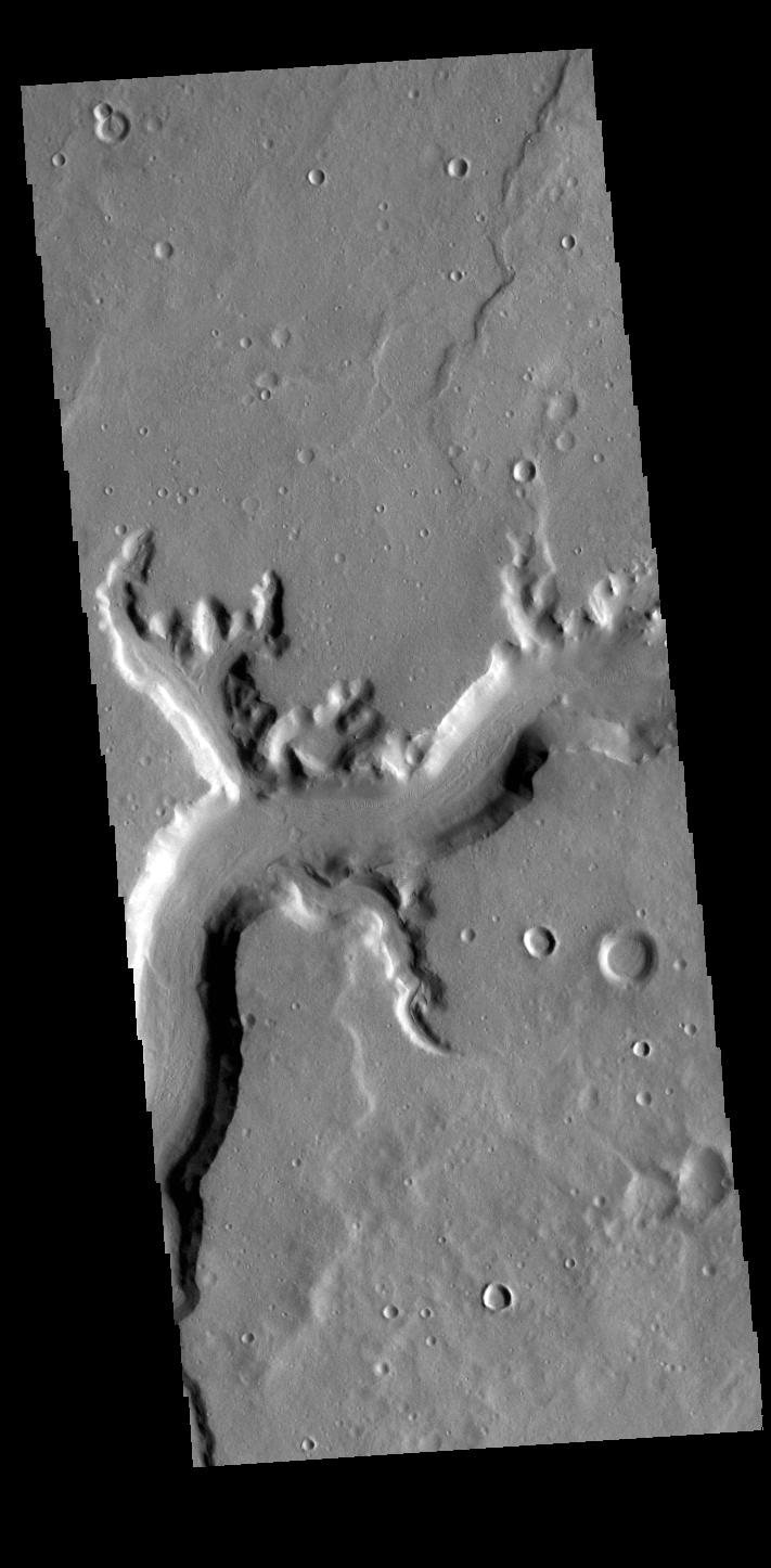
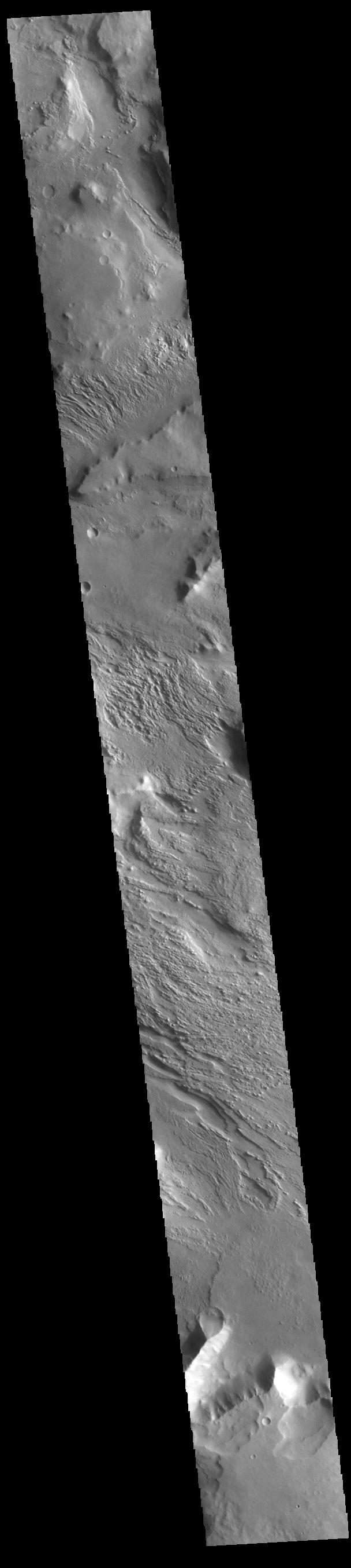
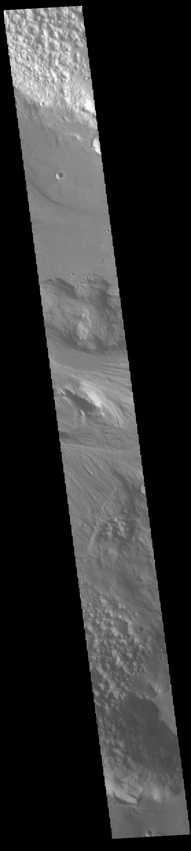
2022-06-02 | Mars |
2001 Mars Odyssey |
THEMIS |
711x1450x1 |
|
|
|||||
|
|
2022-06-01 | Earth |
Earth Surface Mineral Dust Source Investigation (EMIT) |
EMIT |
5568x3712x3 |

|
|||||
|
|
2022-06-01 | Mars |
Mars 2020 Rover |
Navigation Camera (M2020) |
1280x224x3 |
|
|||||
|
|
2022-06-01 | Mars |
Mars 2020 Rover |
Navigation Camera (M2020) |
2000x350x3 |
|
|||||
|
|
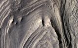
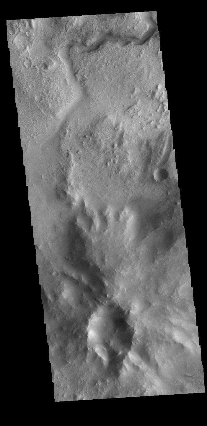
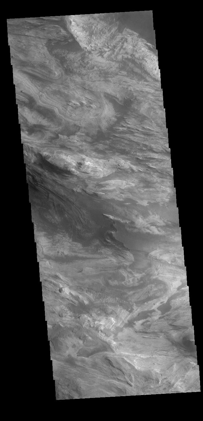
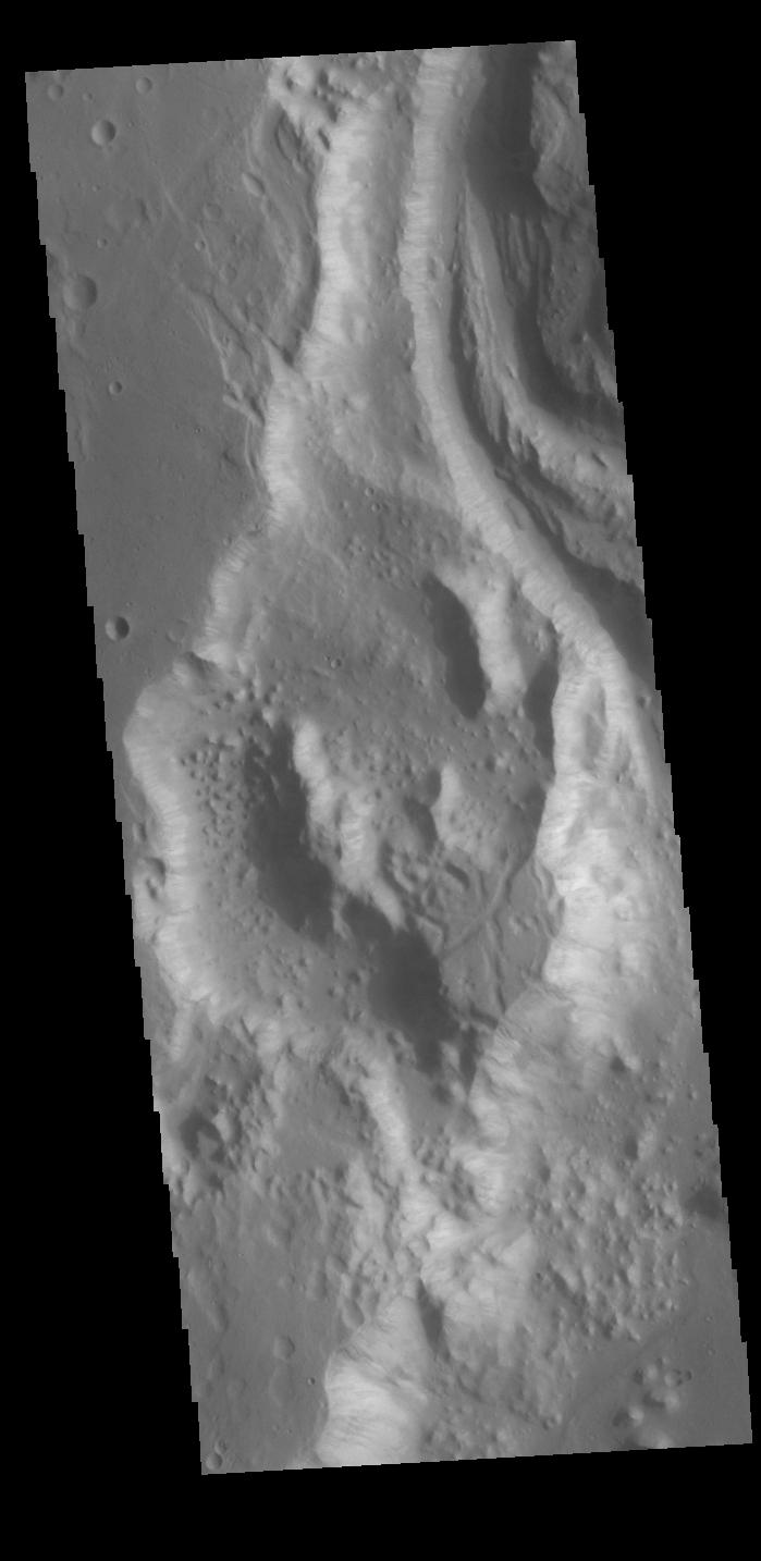
2022-06-01 | Mars |
2001 Mars Odyssey |
THEMIS |
696x1435x1 |
|
|
|||||
|
|
2022-05-31 | Mars |
Mars 2020 Rover |
2698x2055x3 | |
|
|||||
|
|
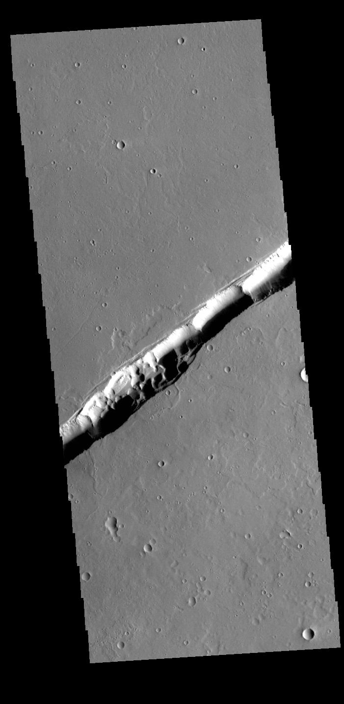
2022-05-31 | Mars |
2001 Mars Odyssey |
THEMIS |
972x2625x1 |
|
|
|||||
|
|
2022-05-30 | Mars |
2001 Mars Odyssey |
THEMIS |
603x2706x1 |
|
|
|||||
|
|
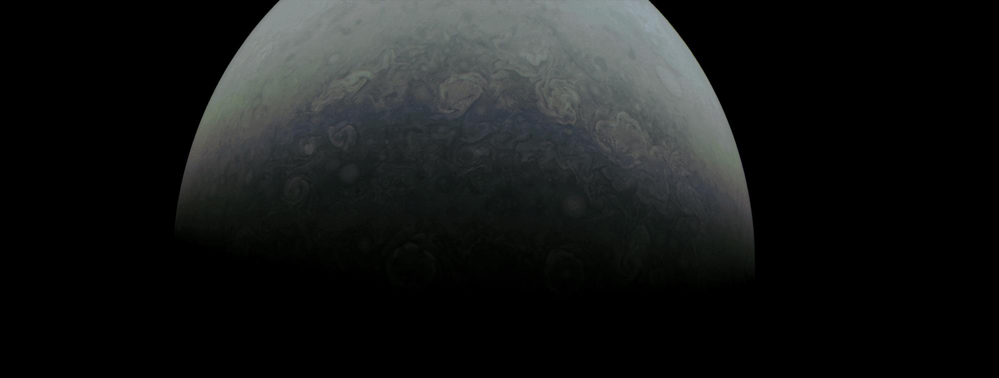
2022-05-27 | Jupiter |
Juno |
JunoCam |
2000x757x3 |
|
|||||
|
|
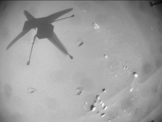
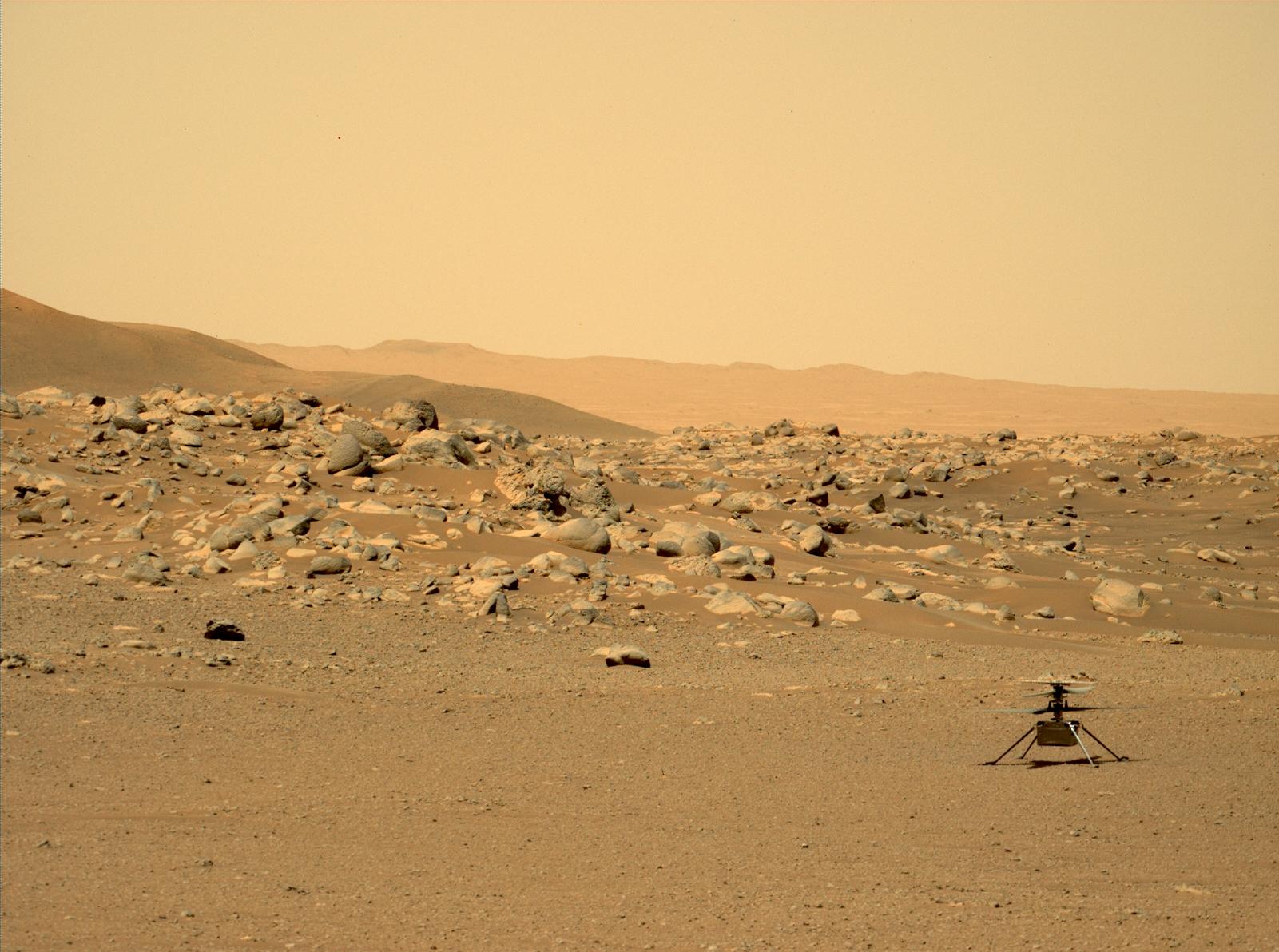
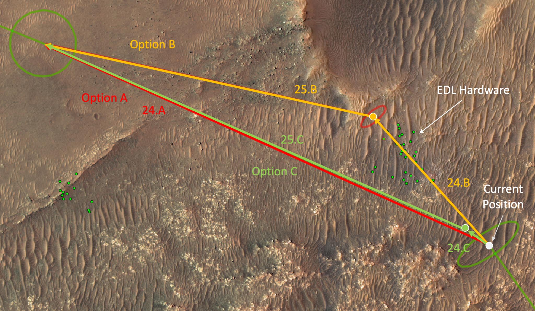
2022-05-27 | Mars |
Mars Helicopter |
640x481x1 | |

|
|||||
|
|
2022-05-27 | Mars |
2001 Mars Odyssey |
THEMIS |
701x1439x1 |
|
|
|||||
|
|
2022-05-26 | Mars |
Mars Helicopter |
950x428x3 | |
|
|||||
|
|
2022-05-26 | Mars |
Mars Reconnaissance Orbiter (MRO) |
HiRISE |
2880x1800x3 |
|
|||||
|
|
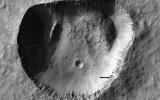
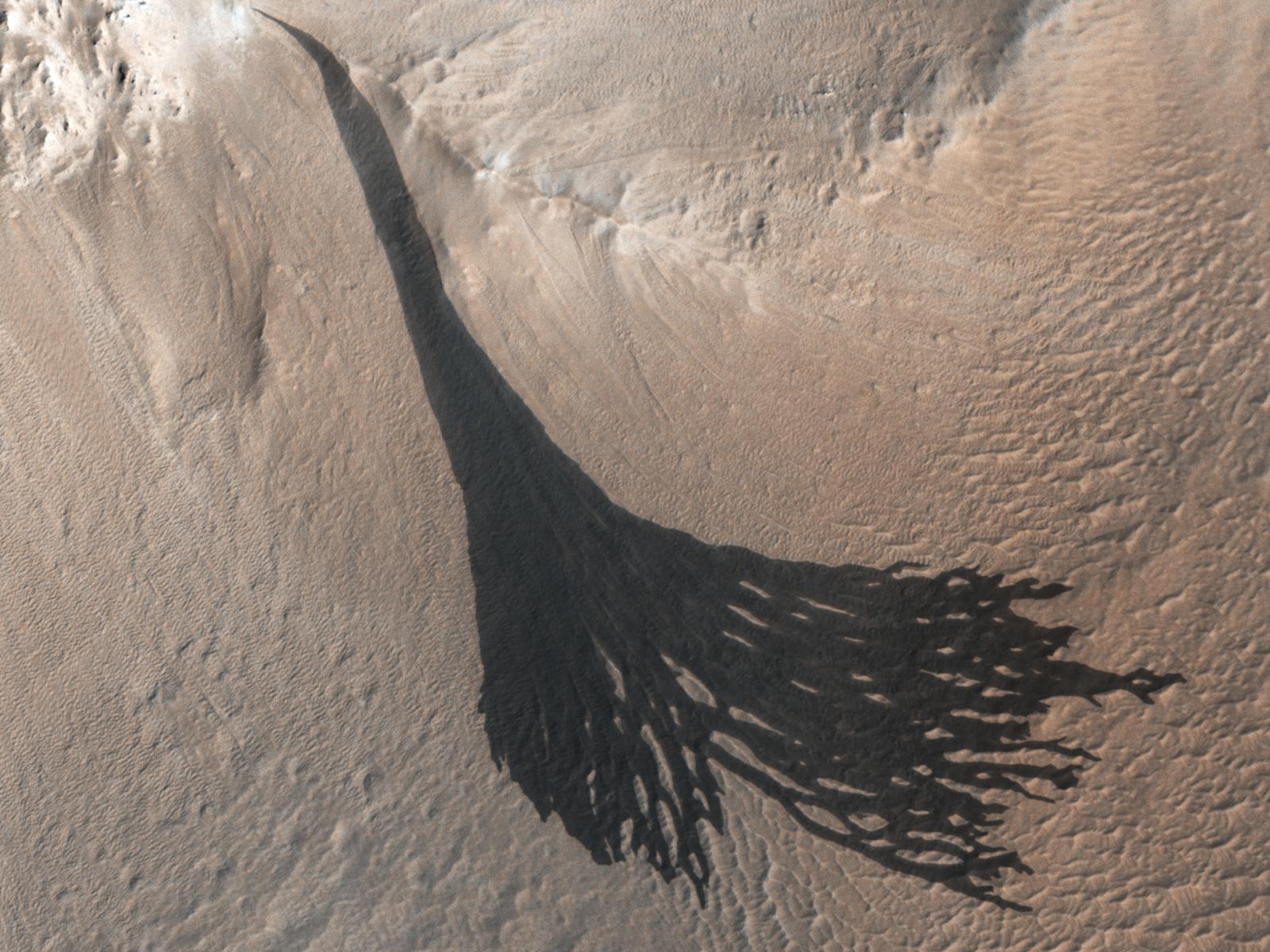
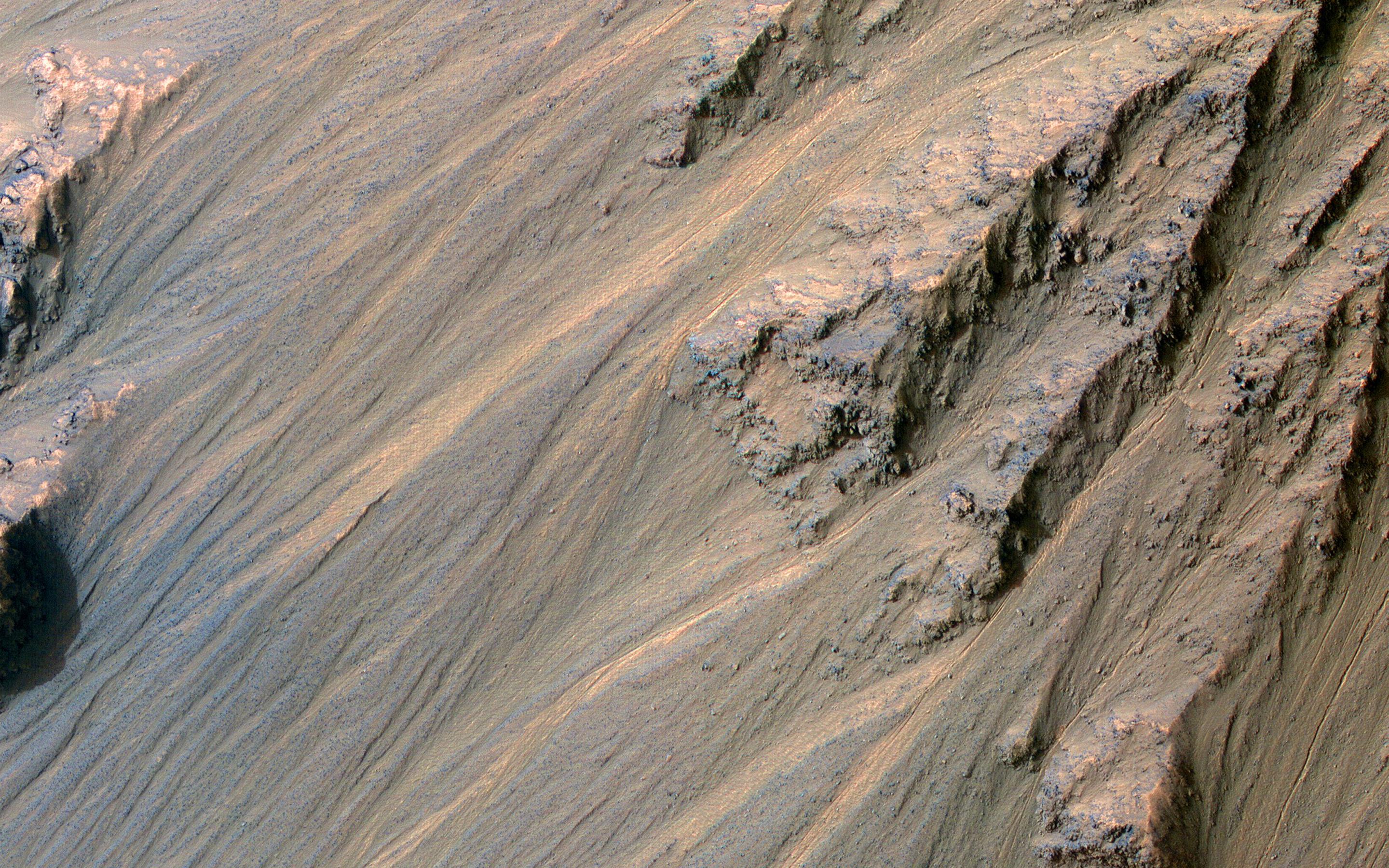
2022-05-26 | Mars |
Mars Reconnaissance Orbiter (MRO) |
HiRISE |
2880x1800x3 |

|
|||||
|
|
2022-05-26 | Mars |
Mars Reconnaissance Orbiter (MRO) |
HiRISE |
2880x1800x3 |
|
|||||
|
|
2022-05-26 | Mars |
Mars Reconnaissance Orbiter (MRO) |
HiRISE |
2880x1800x3 |
|
|||||
|
|
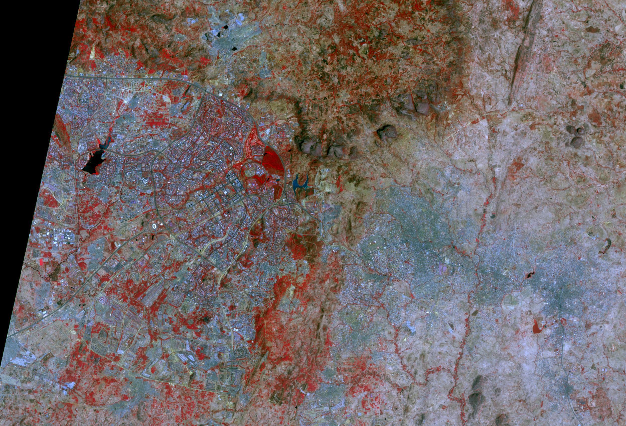
2022-05-26 | Earth |
Terra |
ASTER |
2326x1369x3 |
|
|||||
|
|
2022-05-26 | Mars |
2001 Mars Odyssey |
THEMIS |
604x2691x1 |
|
|
|||||
|
|
2022-05-25 | Mars |
2001 Mars Odyssey |
THEMIS |
673x1415x1 |
|
|
|||||
|
|
2022-05-24 | Mars |
2001 Mars Odyssey |
THEMIS |
692x1431x1 |
|
|
|||||
|
|
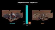
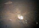
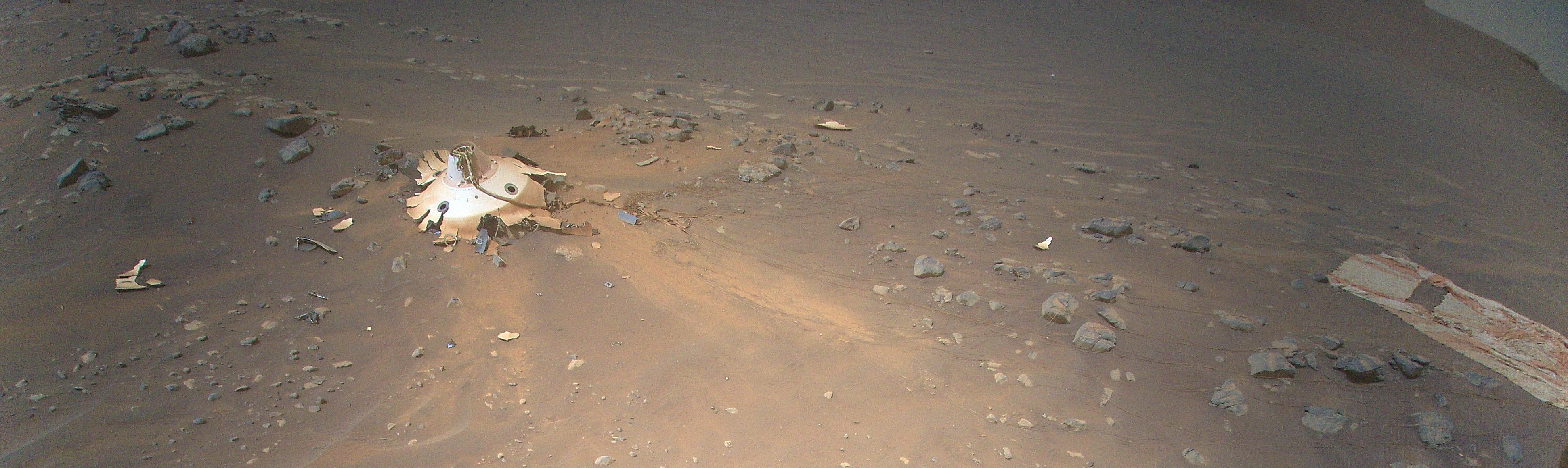
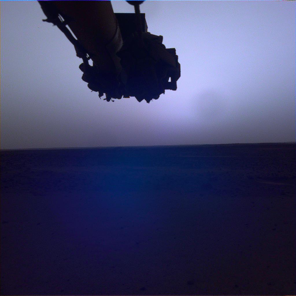
2022-05-23 | Mars |
InSight |
4391x2635x3 | |
|
|||||
|
|
2022-05-23 | Mars |
2001 Mars Odyssey |
THEMIS |
673x1421x1 |
|
|
|||||
|
|
2022-05-20 | Mars |
2001 Mars Odyssey |
THEMIS |
688x1425x1 |
|
|
|||||
|
|
2022-05-19 | Mars |
2001 Mars Odyssey |
THEMIS |
691x1429x1 |
|
|
|||||
|
|
2022-05-18 | Mars |
Mars Science Laboratory (MSL) |
Mastcam |
7630x2295x3 |
|
|||||
|
|
2022-05-18 | Mars |
2001 Mars Odyssey |
THEMIS |
705x1437x1 |
|
|
|||||
|
|
2022-05-17 | Mars |
InSight |
1024x1024x3 | |
|
|||||
|
|
2022-05-17 | Mars | 3840x2160x3 | ||
|
|||||
|
|
2022-05-17 | Mars |
InSight |
3840x2160x3 | |
|
|||||
|
|
2022-05-17 | Mars |
InSight |
4801x2700x3 | |
|
|||||
|
|
2022-05-17 | Mars |
InSight |
1080x1080x3 | |
|
|||||
|
|
2022-05-17 | Earth |
Terra |
ASTER |
2051x2656x3 |
|
|||||
|
|
2022-05-17 | Mars |
2001 Mars Odyssey |
THEMIS |
711x1446x1 |
|
|
|||||
|
|
2022-05-16 | Mars |
2001 Mars Odyssey |
THEMIS |
687x1425x1 |
|
|
|||||
|
|
2022-05-13 | Mars |
2001 Mars Odyssey |
THEMIS |
701x1434x1 |
|
|
|||||
|
|
2022-05-12 | Earth |
Earth Surface Mineral Dust Source Investigation (EMIT) |
EMIT |
1230x922x3 |
|
|||||
|
|
2022-05-12 | Earth |
Earth Surface Mineral Dust Source Investigation (EMIT) |
EMIT |
4000x3000x3 |
|
|||||
|
|
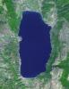
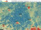
2022-05-12 | Earth |
ECOSTRESS |
3376x2477x3 | |
|
|||||
|
|
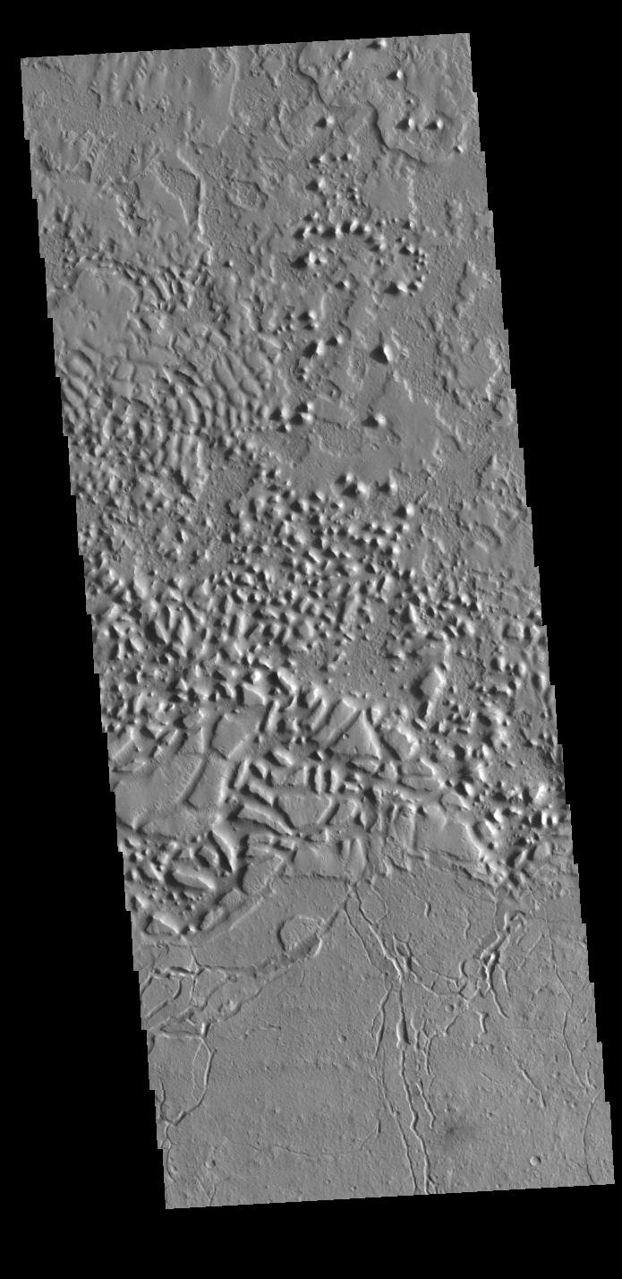
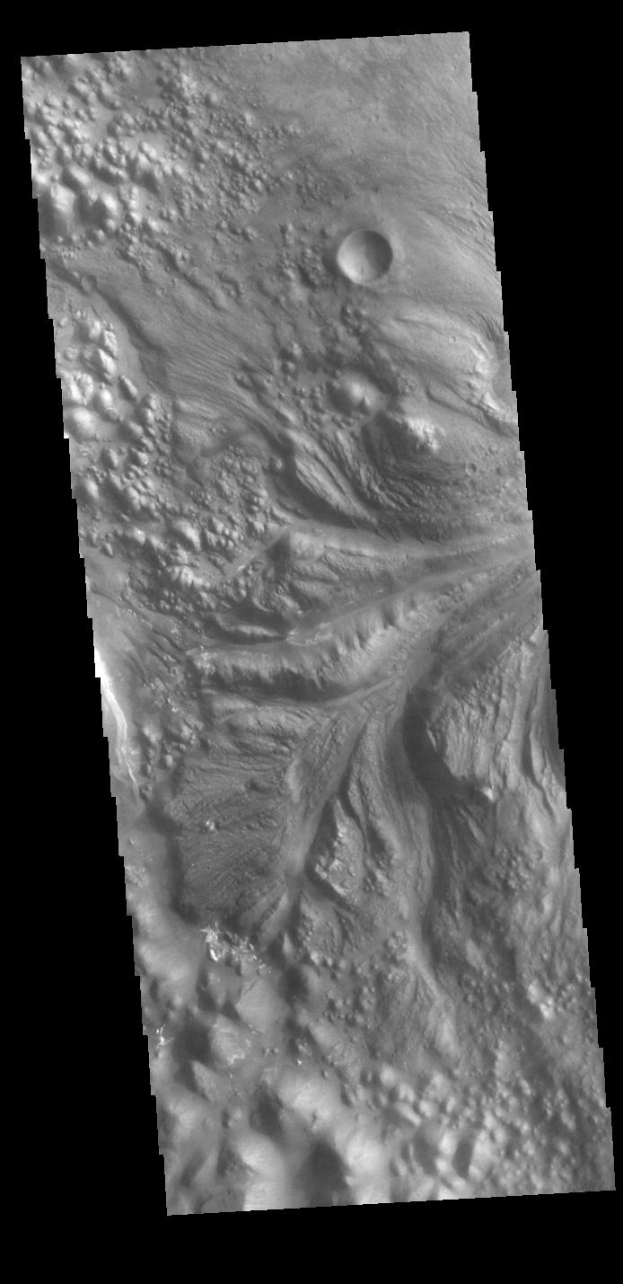
2022-05-12 | Mars |
2001 Mars Odyssey |
THEMIS |
1385x2632x1 |

|
|||||
|
|
2022-05-11 | Mars |
2001 Mars Odyssey |
THEMIS |
701x1434x1 |
|
|
|||||
|
|
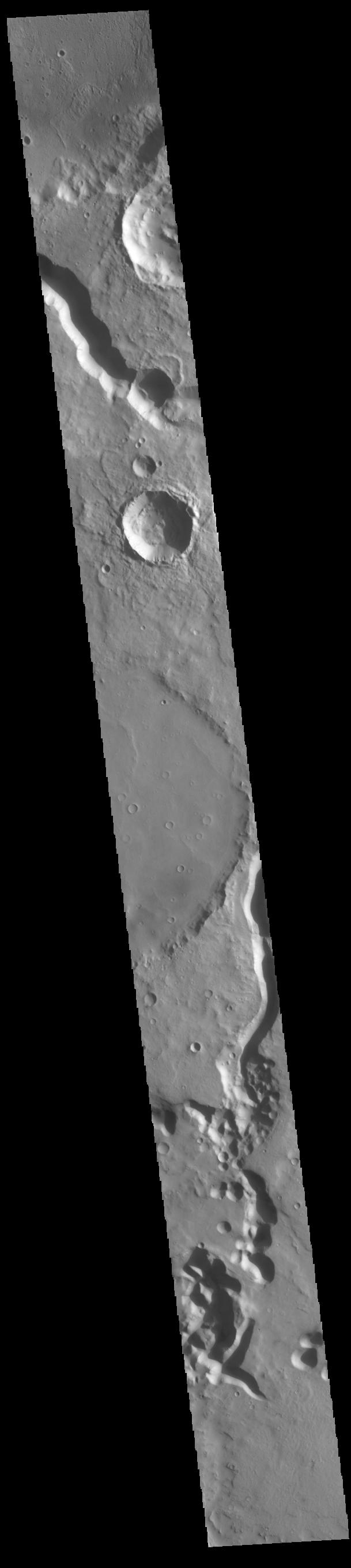
2022-05-10 | Mars |
2001 Mars Odyssey |
THEMIS |
699x1434x1 |
|
|
|||||
|
|
2022-05-09 | Mars |
InSight |
1920x1440x1 | |
|
|||||
|
|
2022-05-09 | Mars |
InSight |
1711x1007x3 | |
|
|||||
|
|
2022-05-09 | Mars |
2001 Mars Odyssey |
THEMIS |
608x2708x1 |
|
|
|||||
|
|
2022-05-06 | Mars |
Mars 2020 Rover |
Mastcam-Z |
1601x1192x3 |
|
|||||
|
|
2022-05-06 | Mars |
2001 Mars Odyssey |
THEMIS |
699x1434x1 |
|
|
|||||
|
|
2022-05-05 | Mars |
Mars Reconnaissance Orbiter (MRO) |
HiRISE |
1600x1200x3 |

|
|||||
|
|
2022-05-05 | Mars |
Mars Reconnaissance Orbiter (MRO) |
HiRISE |
1600x1200x3 |
|
|||||
|
|
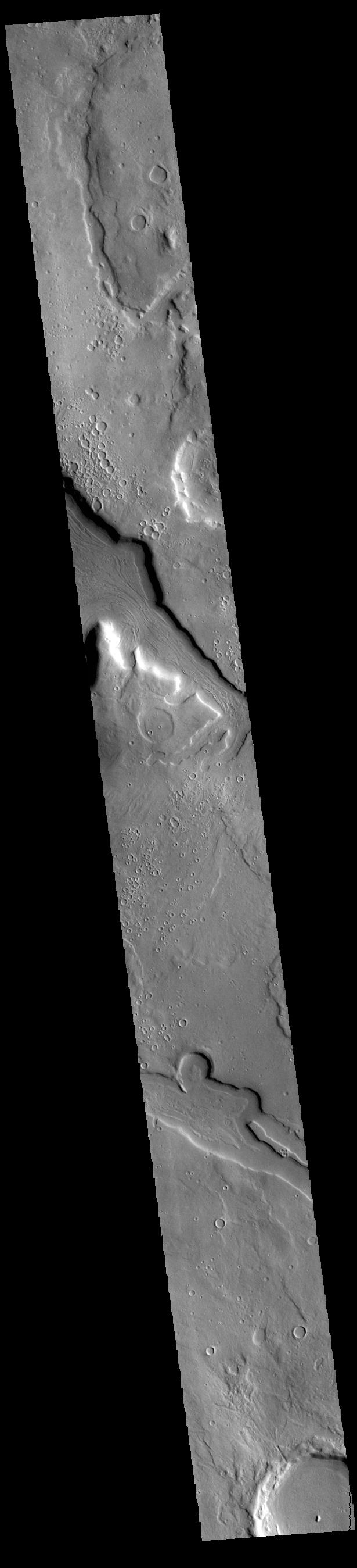
2022-05-05 | Mars |
2001 Mars Odyssey |
THEMIS |
4096x2302x3 |
|
|||||
|
|
2022-05-05 | Mars |
2001 Mars Odyssey |
THEMIS |
711x1447x1 |
|
|
|||||
|
|
2022-05-04 | Mars |
2001 Mars Odyssey |
THEMIS |
717x1452x1 |
|
|
|||||
|
|
2022-05-03 | Mars |
Mars Helicopter |
3054x1718x3 | |
|
|||||
|
|
2022-05-03 | Mars |
2001 Mars Odyssey |
THEMIS |
675x1422x1 |
|
|
|||||
|
|
2022-05-02 | Earth |
Earth Surface Mineral Dust Source Investigation (EMIT) |
EMIT |
7955x5303x3 |
|
|||||
|
|
2022-05-02 | Earth |
Earth Surface Mineral Dust Source Investigation (EMIT) |
EMIT |
2522x1199x3 |

|
|||||
|
|
2022-05-02 | Mars |
2001 Mars Odyssey |
THEMIS |
707x1442x1 |
|
|
|||||
|
|
2022-04-29 | Mars |
Mars Reconnaissance Orbiter (MRO) |
HiRISE |
2880x1800x3 |
|
|||||
|
|
2022-04-29 | Mars |
Mars Reconnaissance Orbiter (MRO) |
HiRISE |
2880x1800x3 |
|
|||||
|
|
2022-04-29 | Mars |
Mars Reconnaissance Orbiter (MRO) |
HiRISE |
2880x1800x3 |
|
|||||
|
|
2022-04-29 | Mars |
Mars Reconnaissance Orbiter (MRO) |
HiRISE |
2880x1800x3 |
|
|||||
|
|
2022-04-29 | Mars |
2001 Mars Odyssey |
THEMIS |
695x1428x1 |
|
|
|||||
|
|
2022-04-28 | Mars |
2001 Mars Odyssey |
THEMIS |
609x2718x1 |
|
|
|||||
|
|
2022-04-27 | Mars |
Mars Helicopter |
3099x2263x3 | |
|
|||||
|
|
2022-04-27 | Mars |
Mars Helicopter |
3884x1161x3 | |
|
|||||
|
|
2022-04-27 | Mars |
Mars Helicopter |
2322x2165x3 | |
|
|||||
|
|
2022-04-27 | Mars |
2001 Mars Odyssey |
THEMIS |
692x1427x1 |
|
|
|||||
|
|
2022-04-26 | Mars |
2001 Mars Odyssey |
THEMIS |
702x1436x1 |
|
|
|||||
|
|
2022-04-25 | Mars |
2001 Mars Odyssey |
THEMIS |
665x1413x1 |
|
|
|||||
|
|
2022-04-22 | Mars |
2001 Mars Odyssey |
THEMIS |
711x1445x1 |
|
|
|||||
|
|
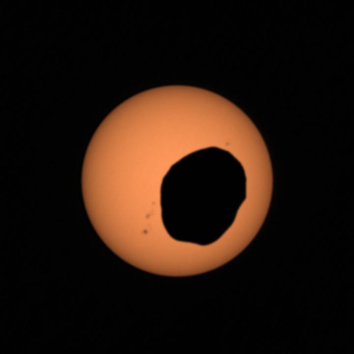
2022-04-21 | Jupiter |
Juno |
JunoCam |
3298x1856x3 |
|
|||||
|
|
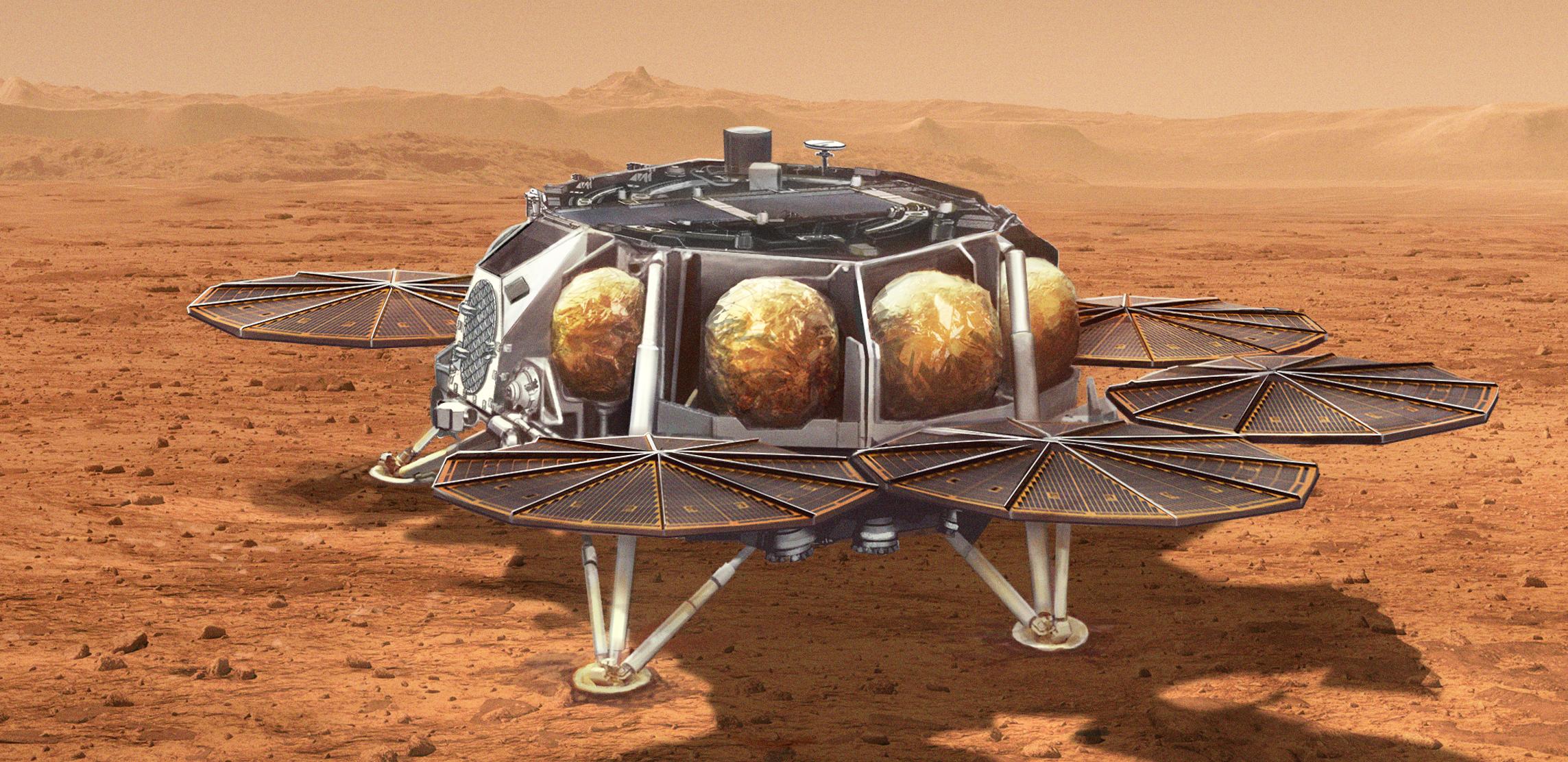
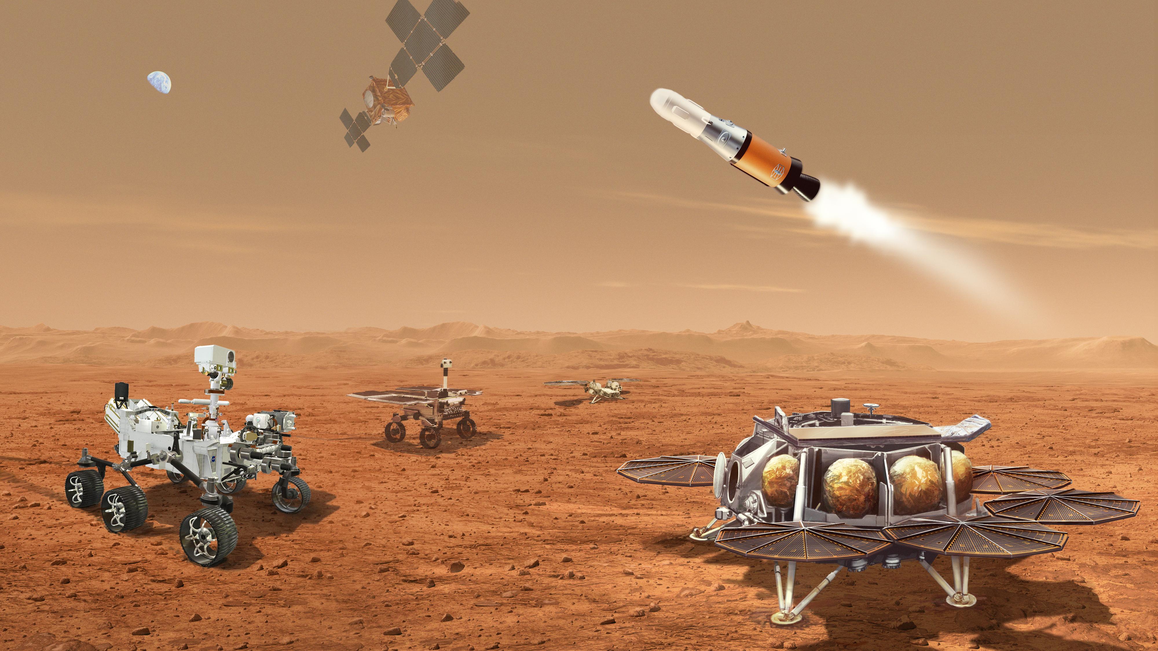
2022-04-21 | Mars |
Mars Sample Return (MSR) |
2002x2129x3 | |

|
|||||
|
|
2022-04-21 | Mars |
Mars Sample Return (MSR) |
2287x1112x3 | |

|
|||||
|
|
2022-04-21 | Mars |
Mars Sample Return (MSR) |
4000x2250x3 | |
|
|||||
|
|
2022-04-21 | Mars |
2001 Mars Odyssey |
THEMIS |
591x1441x1 |
|
|
|||||
|
|
2022-04-20 | Mars |
Mars 2020 Rover |
Mastcam-Z |
720x720x3 |

|
|||||
|
|
2022-04-20 | Mars |
2001 Mars Odyssey |
THEMIS |
687x1426x1 |
|
|
|||||
|
|
2022-04-19 | Earth |
Terra |
ASTER |
1015x977x3 |

|
|||||
|
|
2022-04-19 | Mars |
Mars 2020 Rover |
1920x1280x1 | |
|
|||||
|
|
2022-04-19 | Mars |
Mars 2020 Rover |
Mastcam-Z |
1648x1200x3 |
|
|||||
|
|
2022-04-19 | Mars |
Mars 2020 Rover |
Mastcam-Z |
27174x4189x3 |
|
|||||
|
|
2022-04-19 | Mars |
2001 Mars Odyssey |
THEMIS |
609x2702x1 |
|
|
|||||
|
|
2022-04-18 | Mars |
2001 Mars Odyssey |
THEMIS |
714x1453x1 |
|
|
|||||
|
|
2022-04-18 | Earth |
Surface Biology and Geology High-Frequency Time Series (SHIFT) |
4810x2774x3 | |

|
|||||
|
|
2022-04-18 | Earth |
Surface Biology and Geology High-Frequency Time Series (SHIFT) |
4000x3000x3 | |

|
|||||
|
|
2022-04-15 | Mars |
InSight |
1024x1024x3 | |
|
|||||
|
|
2022-04-15 | Mars |
2001 Mars Odyssey |
THEMIS |
694x1429x1 |
|
|
|||||
|
|
2022-04-14 | Mars |
2001 Mars Odyssey |
THEMIS |
615x2697x1 |
|
|
|||||
|
|
2022-04-13 | Mars |
2001 Mars Odyssey |
THEMIS |
611x2706x1 |
|
|
|||||
|
|
2022-04-12 | Mars |
2001 Mars Odyssey |
THEMIS |
621x2700x1 |
|
|
|||||
|
|
2022-04-11 | Asteroid |
Psyche |
4000x2667x3 | |
|
|||||
|
|
2022-04-11 | Asteroid |
Psyche |
4000x2667x3 | |
|
|||||
|
|
2022-04-11 | Mars |
2001 Mars Odyssey |
THEMIS |
609x2708x1 |
|
|
|||||
|
|
2022-04-08 | Mars |
2001 Mars Odyssey |
THEMIS |
672x1411x1 |
|
|
|||||
|
|
2022-04-07 | Mars |
Mars Science Laboratory (MSL) |
Mastcam |
29163x8101x3 |
|
|||||
|
|
2022-04-07 | Mars |
Mars Science Laboratory (MSL) |
Mastcam |
5833x3324x3 |
|
|||||
|
|
2022-04-07 | Mars |
2001 Mars Odyssey |
THEMIS |
705x1443x1 |
|
|
|||||
|
|
2022-04-06 | Mars |
Mars Science Laboratory (MSL) |
Hazcam (MSL) |
1024x768x1 |
|
|||||
|
|
2022-04-06 | Mars |
2001 Mars Odyssey |
THEMIS |
610x2713x1 |
|
|
|||||
|
|
2022-04-05 | Mars |
Mars Reconnaissance Orbiter (MRO) |
HiRISE |
2048x1192x3 |
|
|||||
|
|
2022-04-05 | Earth |
Terra |
ASTER |
2500x1700x3 |
|
|||||

|
 |
|
|
|
|
|
|
|
|
 |

|
| 1-100 | 101-200 | 201-300 | 301-400 | 401-500 | 501-600 | 601-700 | 701-800 | 801-900 | 901-1000 |
| Currently displaying images: 901 - 1000 of 19741 |