|
Your search criteria found 19741 images Target is Sun |
| My List |
Addition Date
|
Target | Mission | Instrument | Size |

|
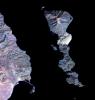
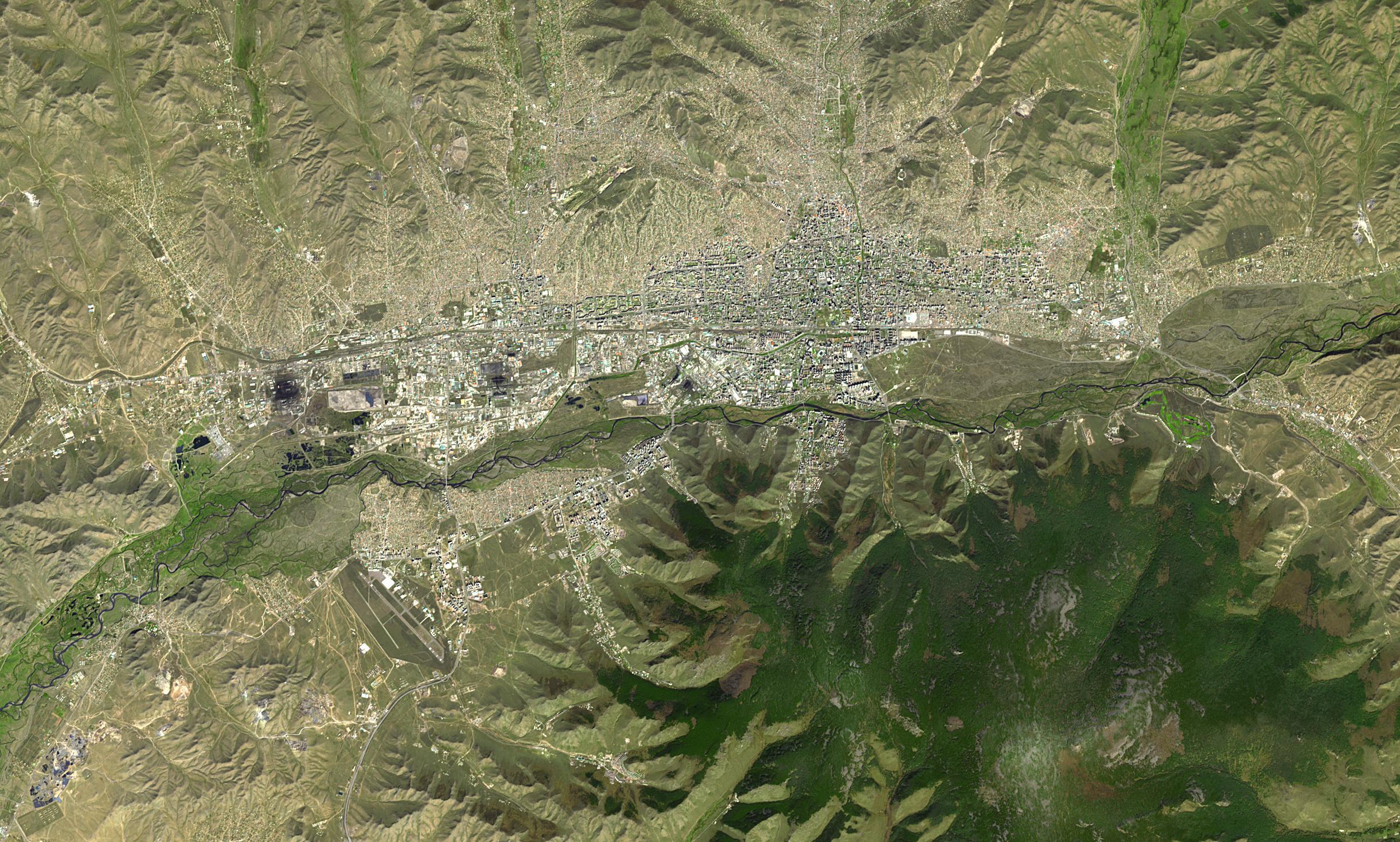
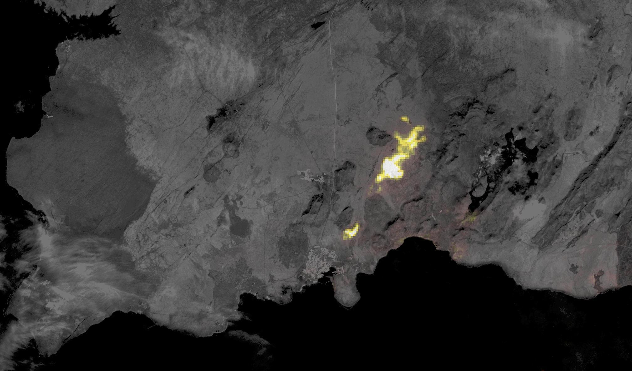
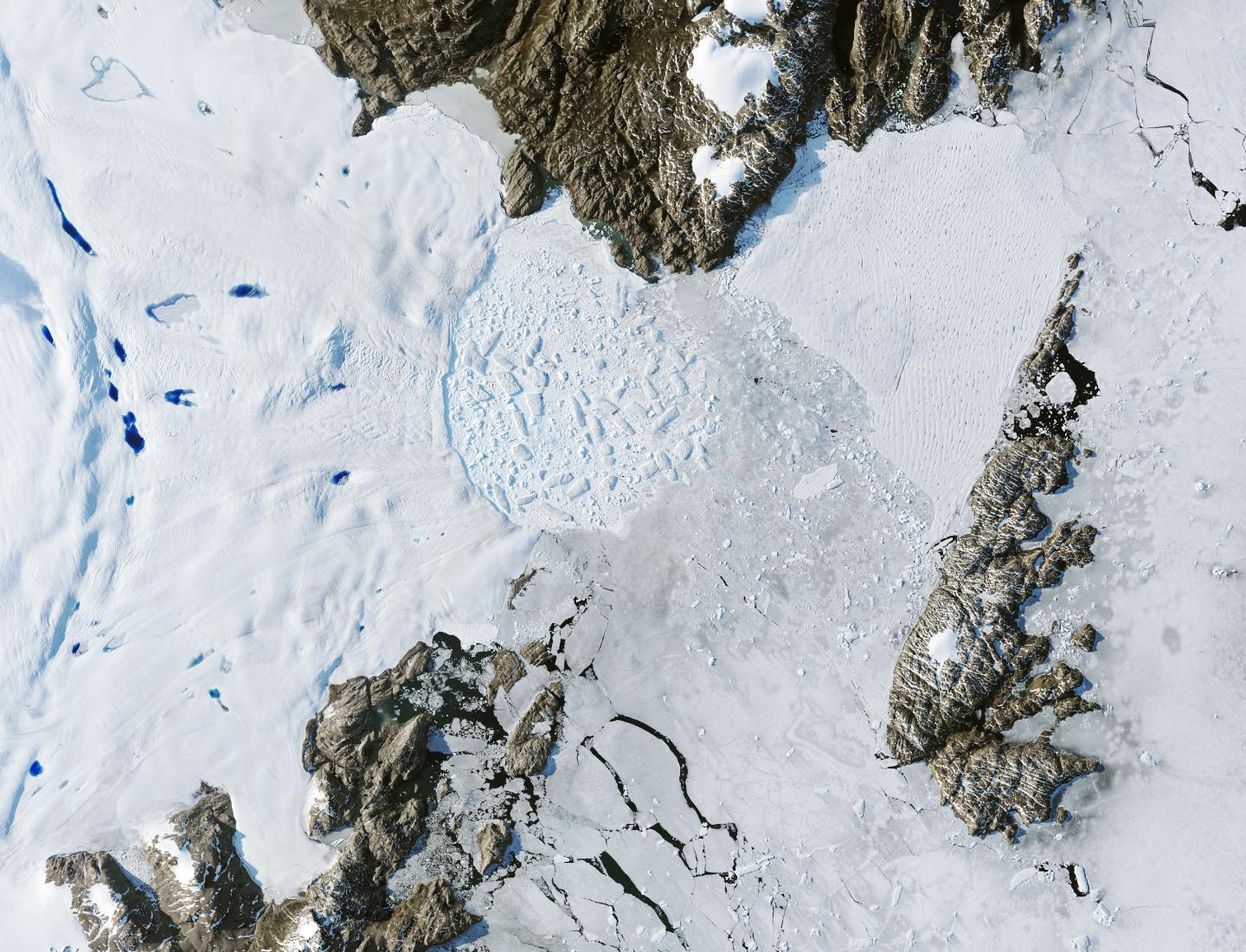
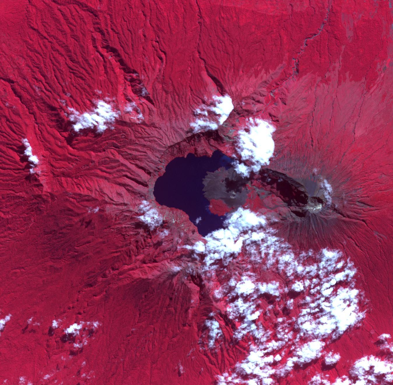
2024-04-30 | Earth |
Terra |
ASTER |
882x726x3 |
|
|||||
|
|
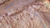
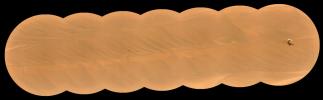
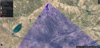
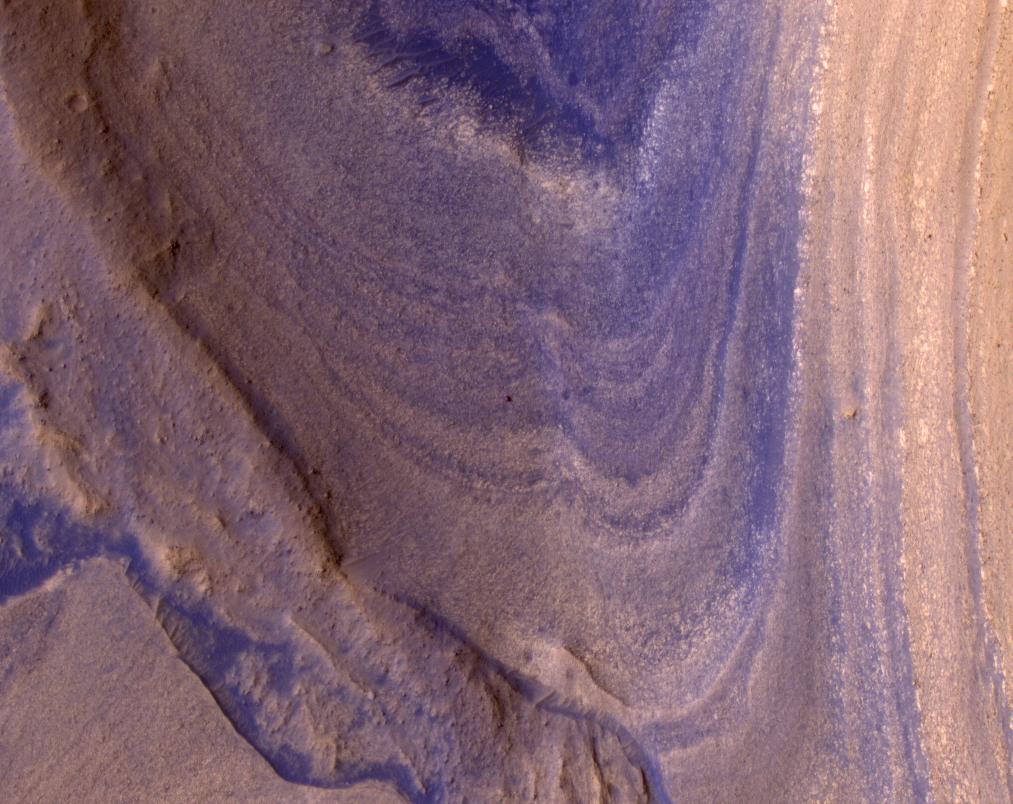
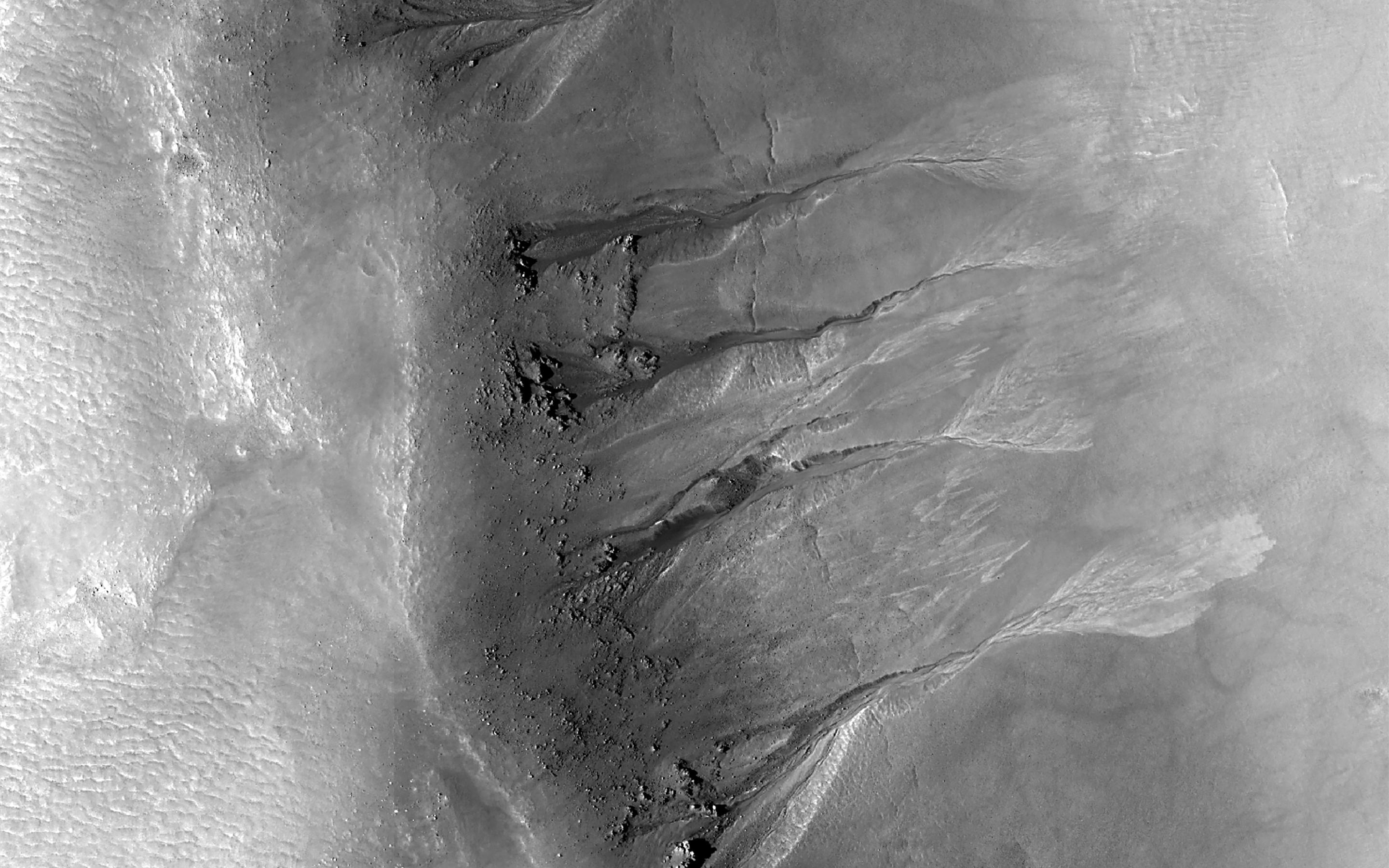
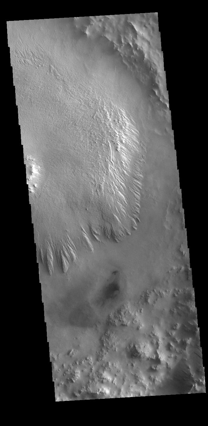
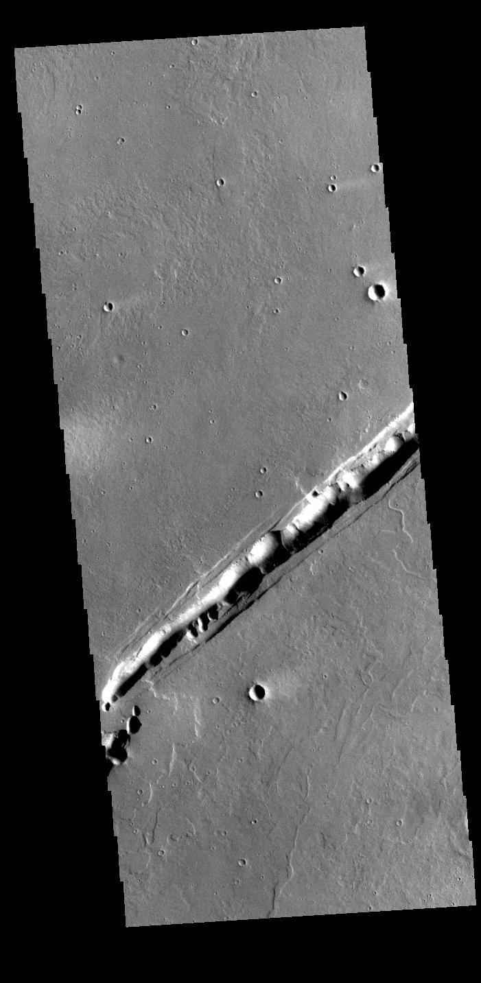
2024-04-29 | Mars |
Mars Reconnaissance Orbiter (MRO) |
HiRISE |
2880x1800x3 |
|
|||||
|
|
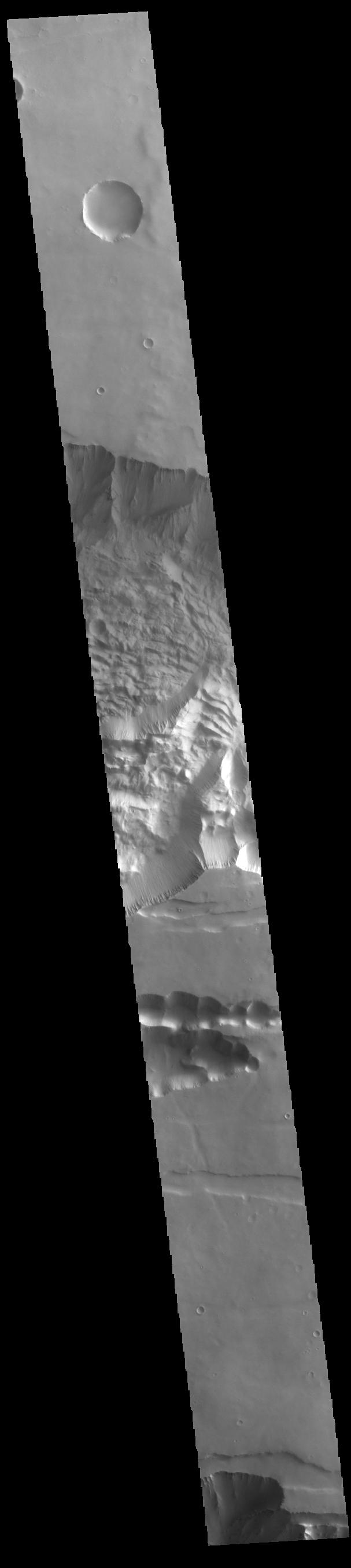
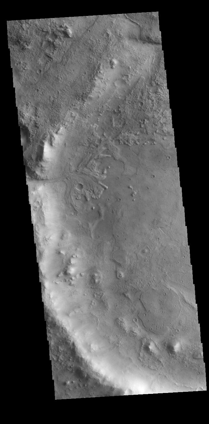
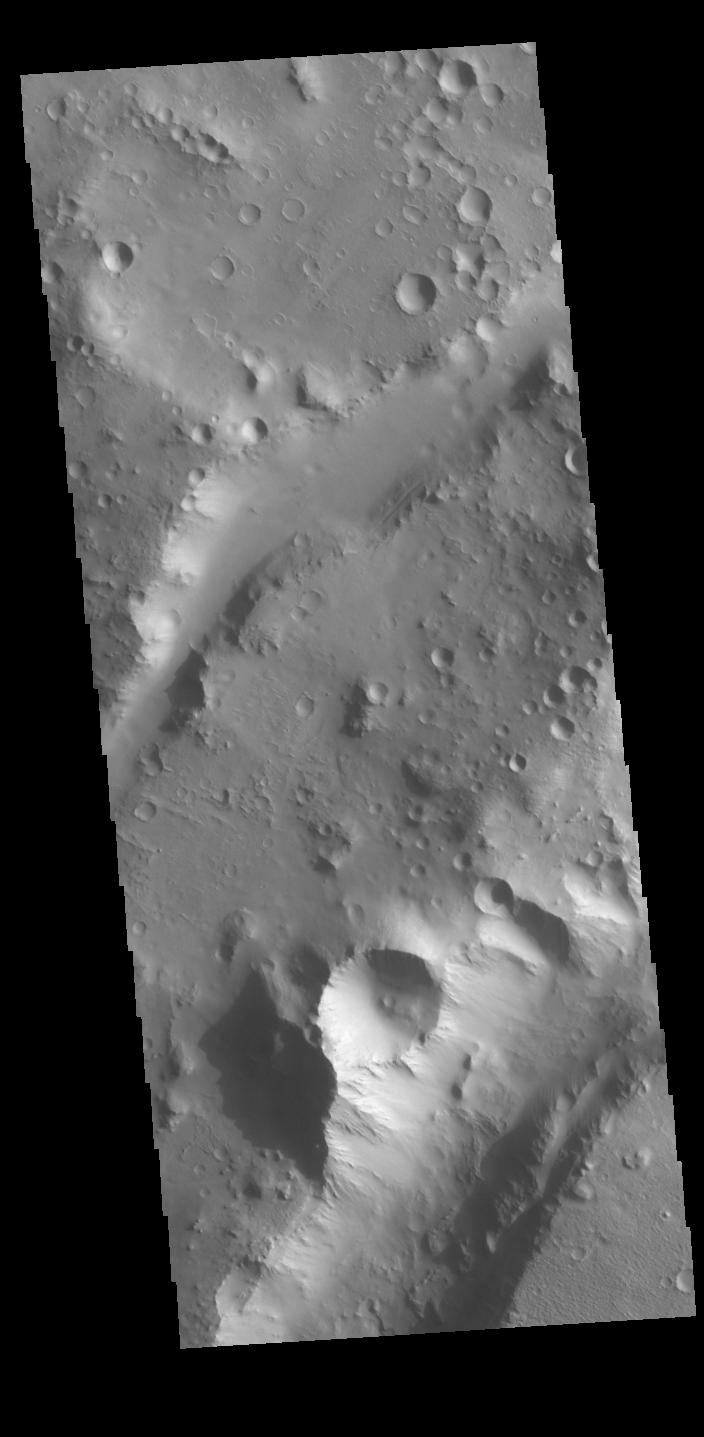
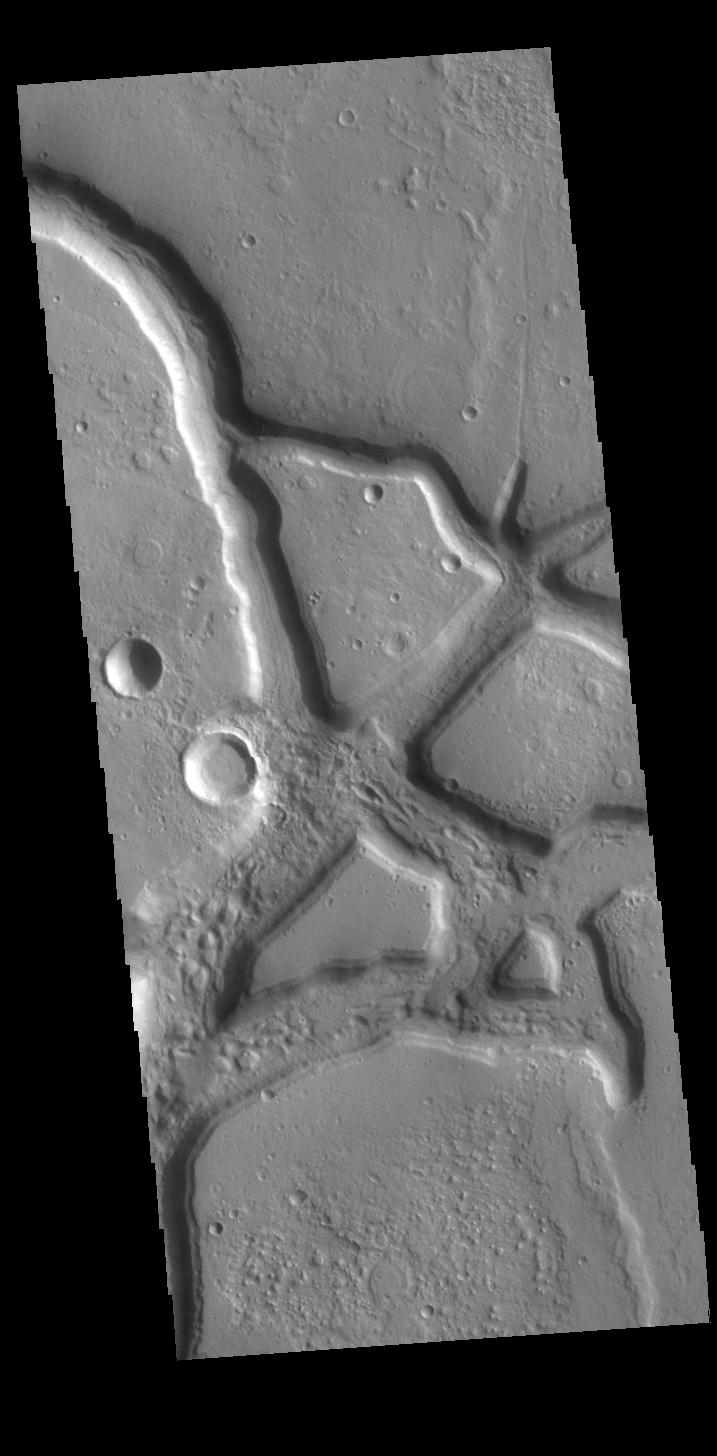
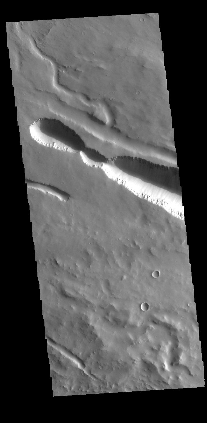
2024-04-29 | Mars |
Mars Reconnaissance Orbiter (MRO) |
HiRISE |
2880x1800x3 |
|
|||||
|
|
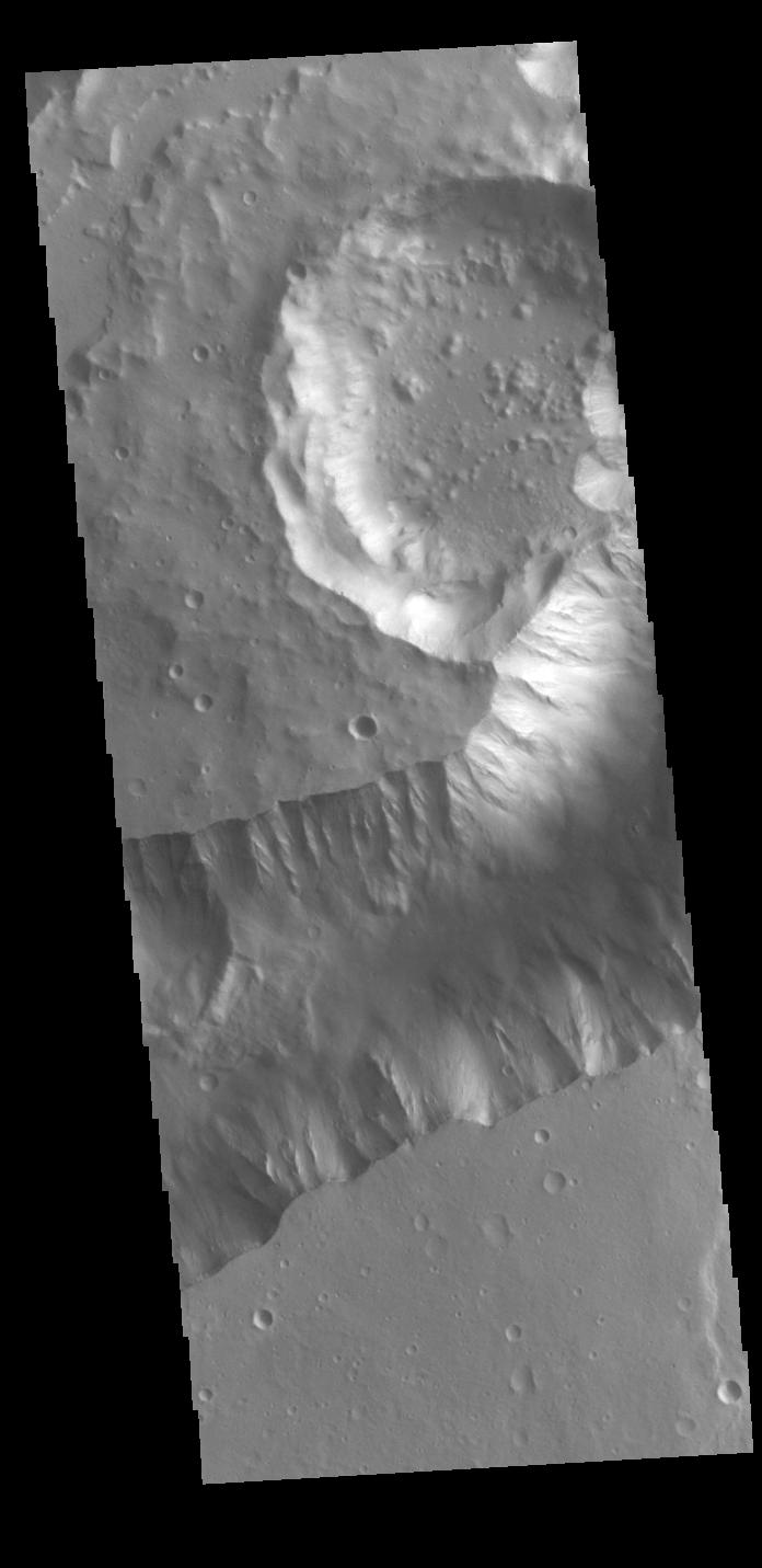
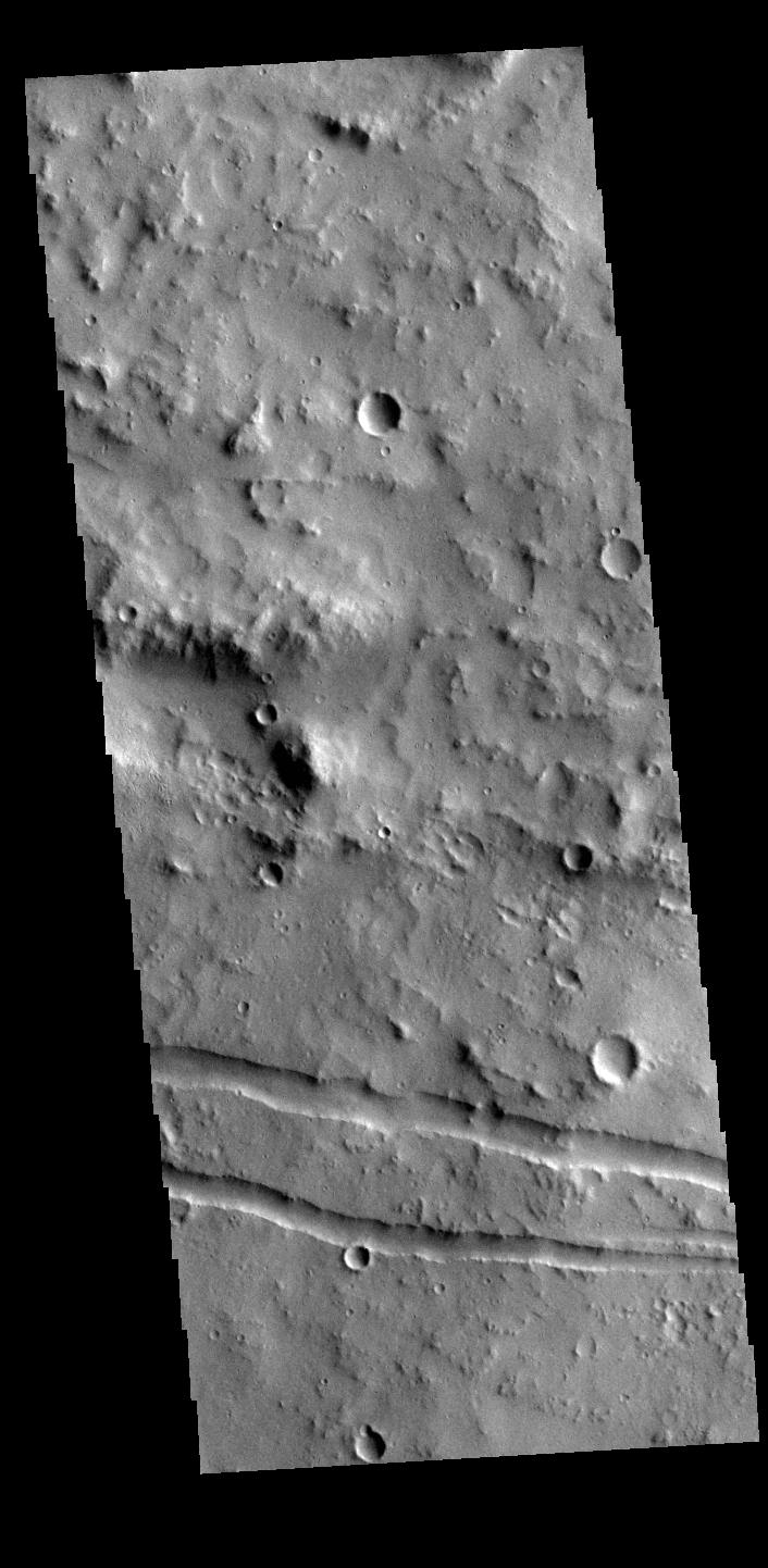
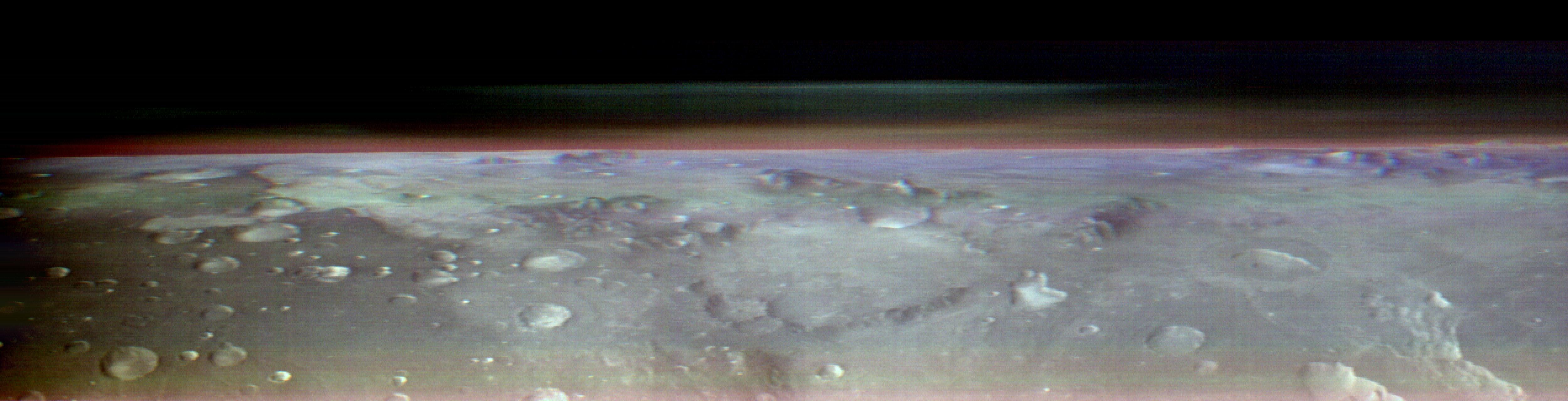
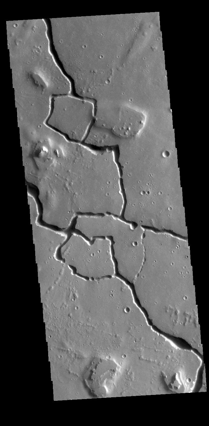
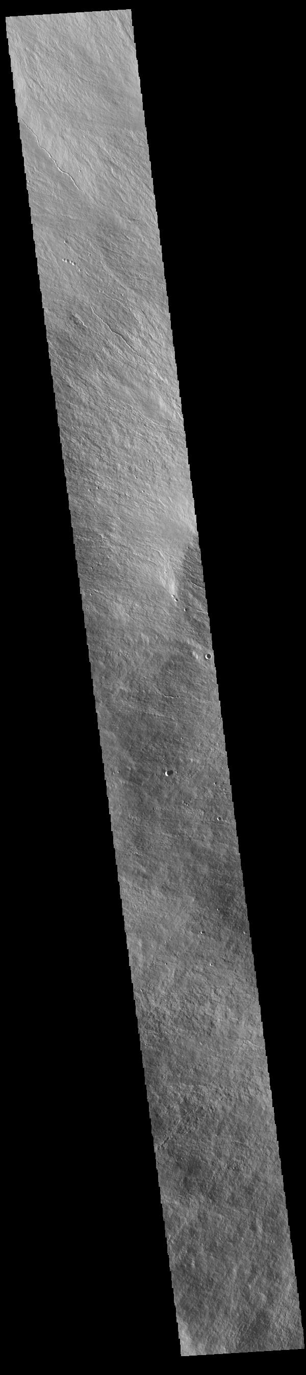
2024-04-29 | Mars |
Mars Reconnaissance Orbiter (MRO) |
HiRISE |
2880x1800x3 |
|
|||||
|
|
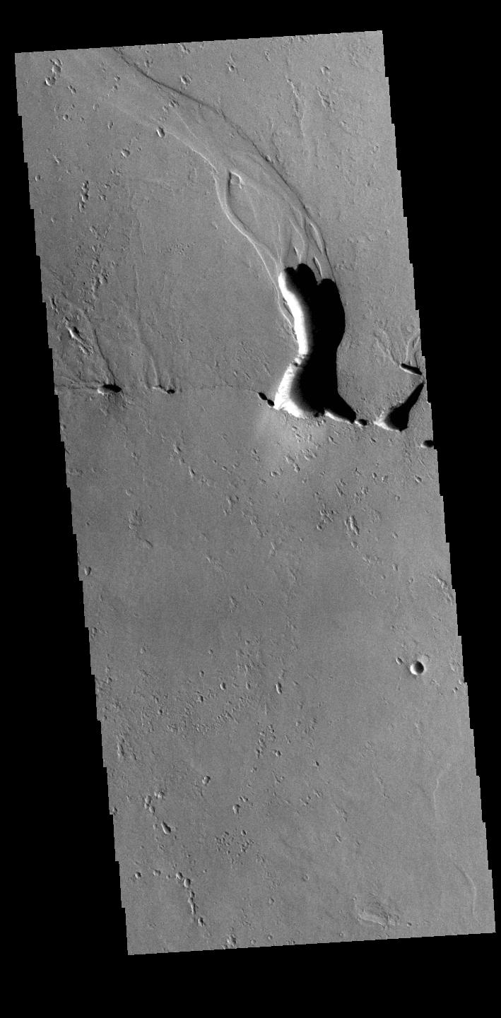
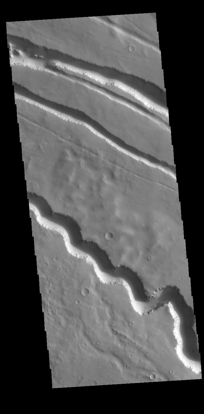
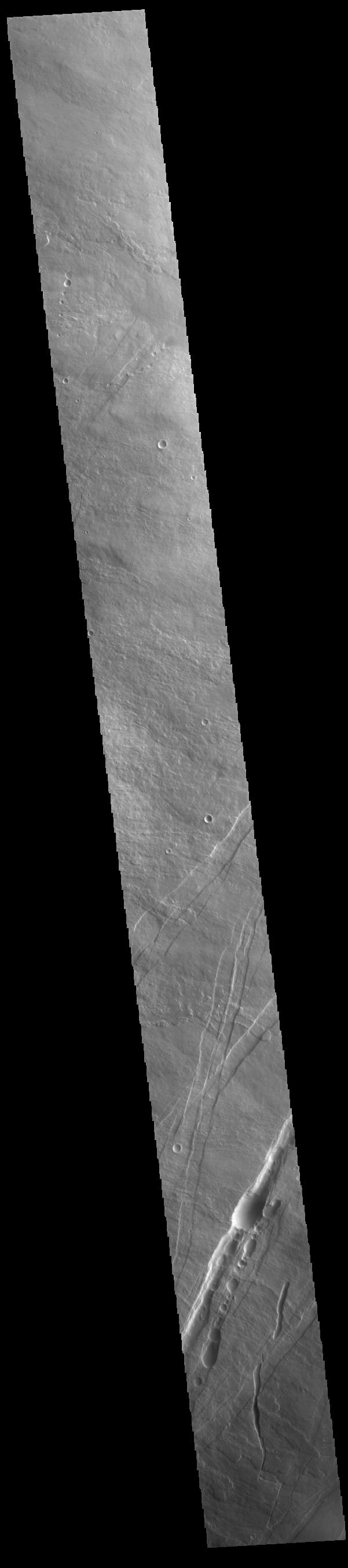
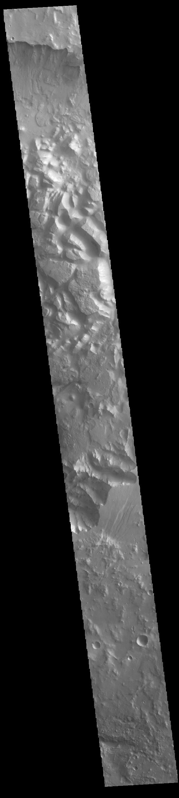
2024-04-29 | Mars |
Mars Reconnaissance Orbiter (MRO) |
HiRISE |
2880x1800x3 |
|
|||||
|
|
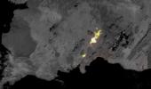
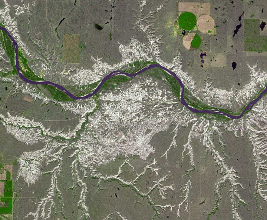
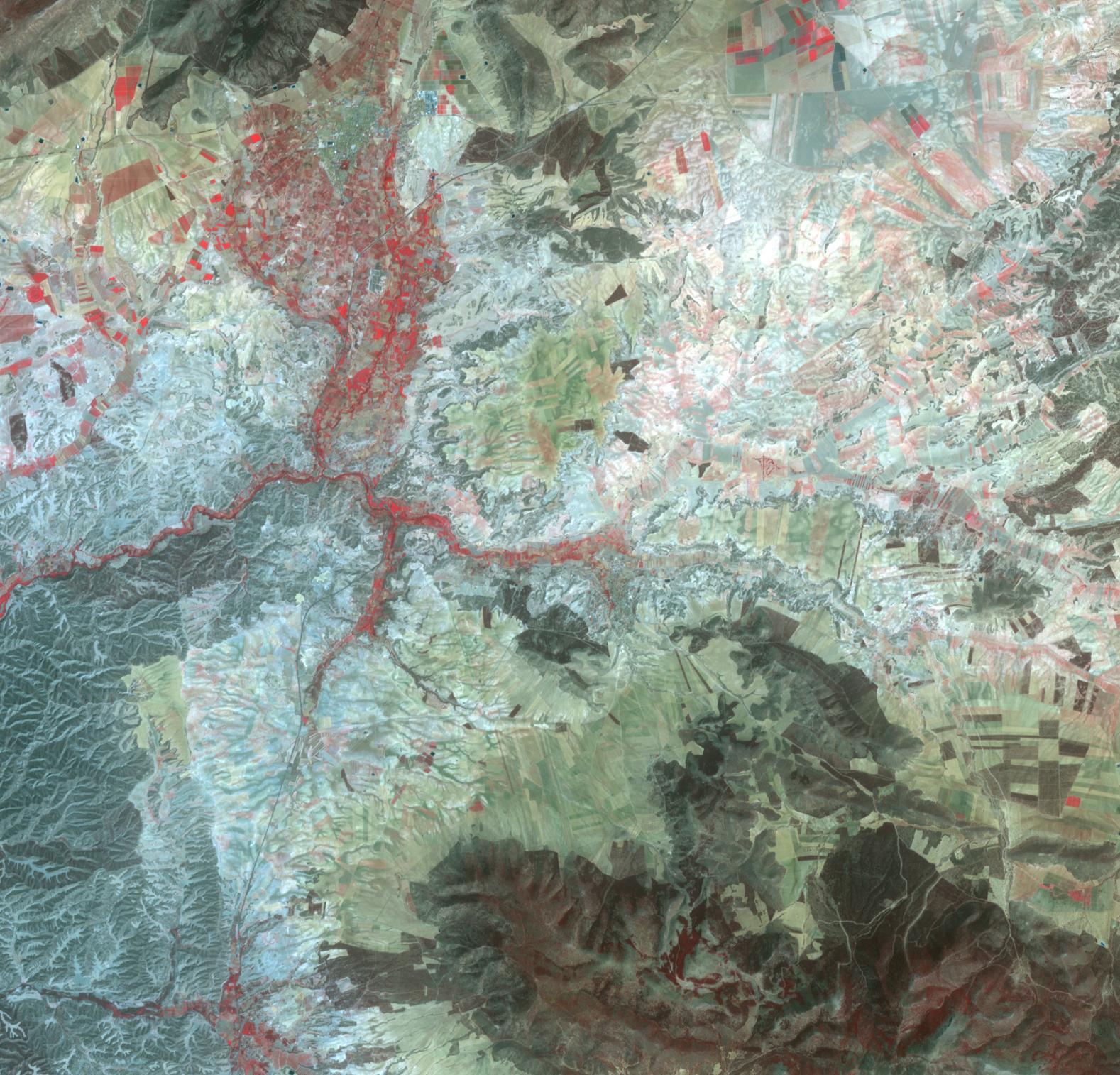
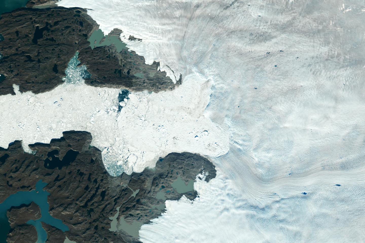
2024-04-26 | Earth |
Terra |
ASTER |
2441x1468x3 |

|
|||||
|
|
2024-04-26 | Earth | 1440x810x3 | ||
|
|||||
|
|
2024-04-18 | Jupiter |
Juno |
JunoCam |
1734x623x3 |
|
|||||
|
|
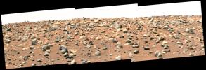
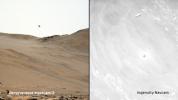
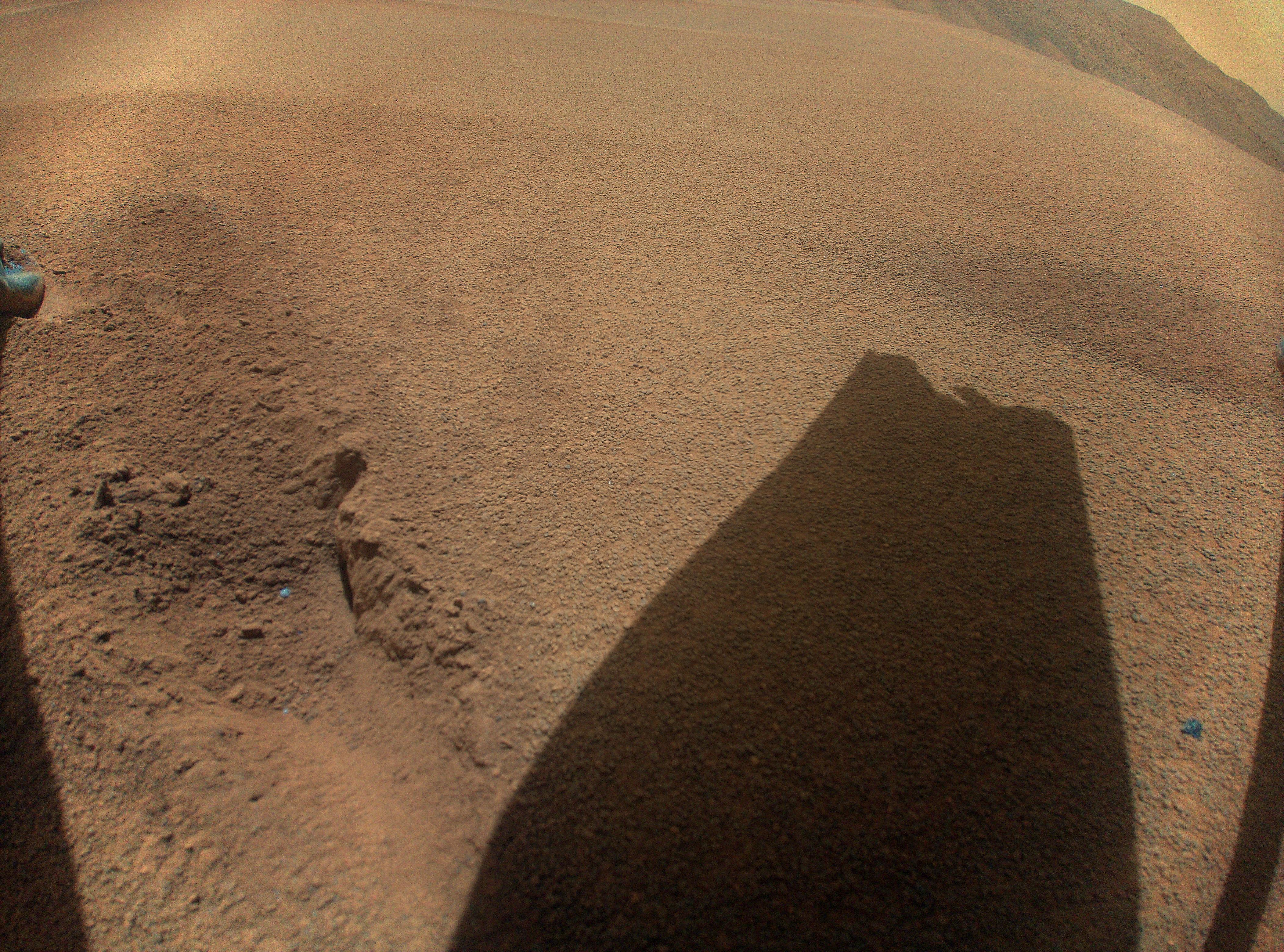
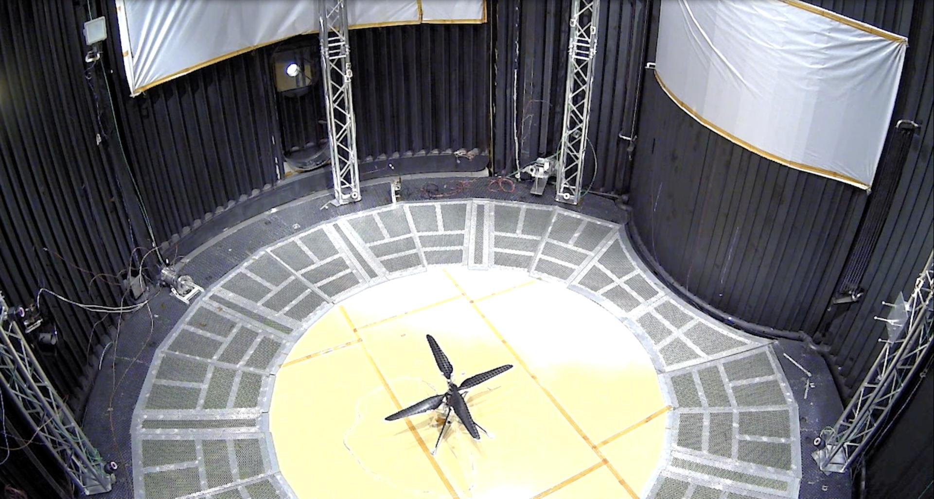
2024-04-17 | Mars |
Mars Helicopter |
8256x5504x3 | |

|
|||||
|
|
2024-04-17 | Mars |
Mars Helicopter |
8256x5504x3 | |

|
|||||
|
|
2024-04-17 | Mars |
Mars Helicopter |
8256x5504x3 | |

|
|||||
|
|
2024-04-17 | Mars |
Mars Helicopter |
8256x5504x3 | |

|
|||||
|
|
2024-04-16 | Mars |
Mars Helicopter |
8256x5504x3 | |

|
|||||
|
|
2024-04-15 | Earth |
SWOT |
KaRIn |
1440x1090x3 |
|
|||||
|
|
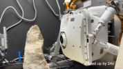
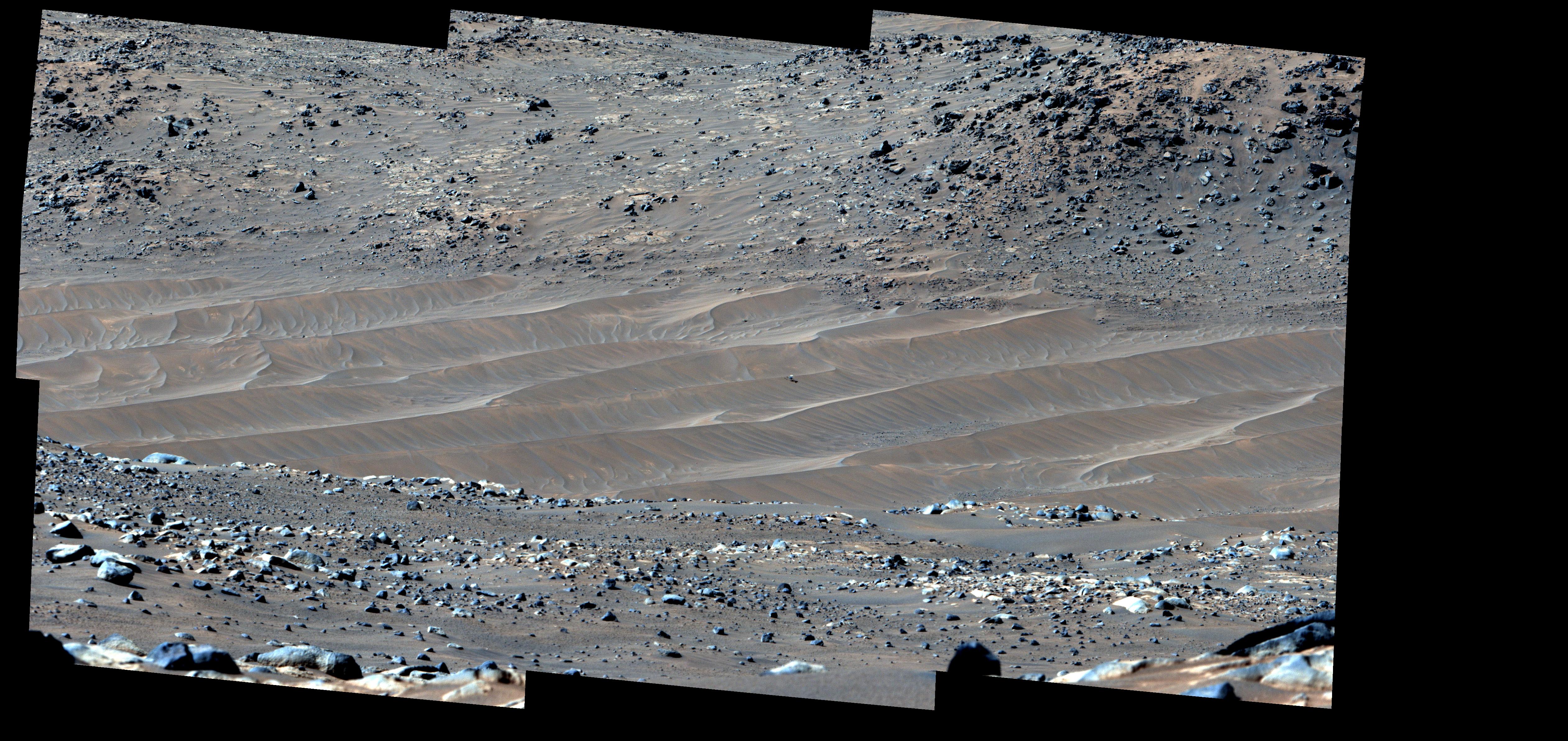
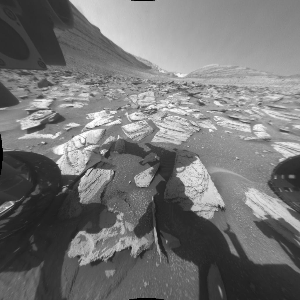
2024-04-03 | Mars |
Mars 2020 Rover |
Hazard Avoidance Camera (M2020) |
838x517x3 |
|
|||||
|
|
2024-04-03 | Mars |
Mars 2020 Rover |
1100x1100x3 | |
|
|||||
|
|
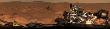
2024-04-03 | Mars |
Mars 2020 Rover |
Mastcam-Z |
4524x3334x3 |
|
|||||
|
|
2024-03-29 | Mars |
Mars Helicopter |
4000x2250x3 | |
|
|||||
|
|
2024-03-29 | Mars |
Mars Helicopter |
628x469x3 | |
|
|||||
|
|
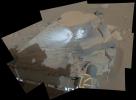
2024-03-29 | Mars |
Mars Science Laboratory (MSL) |
Navcam (MSL) |
5759x5759x1 |
|
|||||
|
|
2024-03-29 | Mars |
Mars Science Laboratory (MSL) |
Navcam (MSL) |
3432x1503x1 |
|
|||||
|
|
2024-03-29 | Mars |
Mars Science Laboratory (MSL) |
Navcam (MSL) |
7696x2774x1 |
|
|||||
|
|
2024-03-29 | Mars |
Mars Reconnaissance Orbiter (MRO) |
HiRISE |
7003x4603x3 |

|
|||||
|
|
2024-03-29 | Earth |
Terra |
ASTER |
800x600x3 |
|
|||||
|
|
2024-03-26 | Earth |
Terra |
ASTER |
1639x1333x3 |

|
|||||
|
|
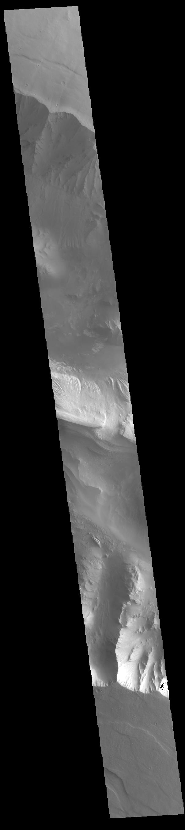
2024-03-26 | Mars |
Mars Reconnaissance Orbiter (MRO) |
HiRISE |
2880x1800x3 |
|
|||||
|
|
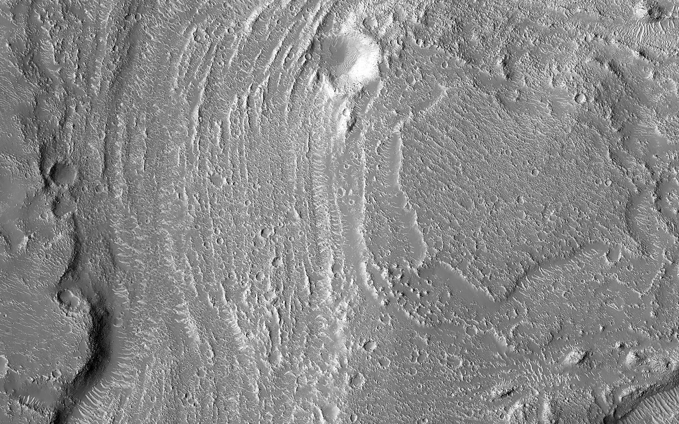
2024-03-26 | Mars |
Mars Reconnaissance Orbiter (MRO) |
HiRISE |
2880x1800x3 |
|
|||||
|
|
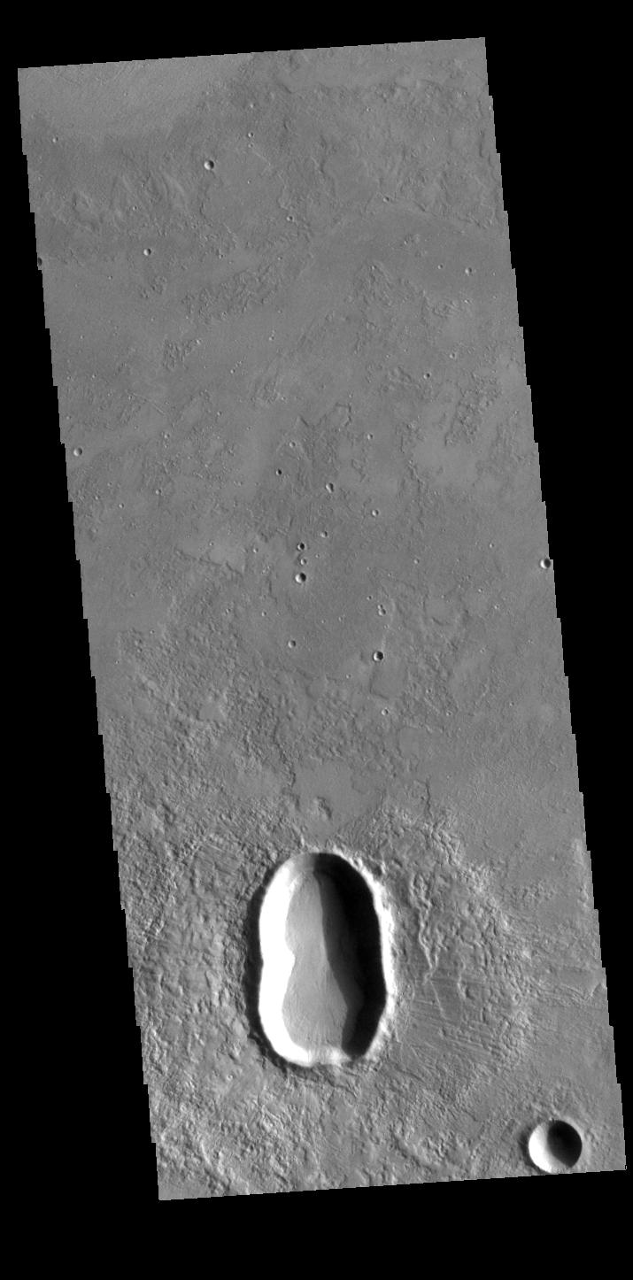
2024-03-26 | Mars |
Mars Reconnaissance Orbiter (MRO) |
HiRISE |
2880x1800x3 |
|
|||||
|
|
2024-03-26 | Mars |
Mars Reconnaissance Orbiter (MRO) |
HiRISE |
2880x1800x3 |

|
|||||
|
|
2024-03-21 | Earth |
TOPEX/Poseidon Sentinel-6 Michael Freilich |
3300x2550x3 | |
|
|||||
|
|
2024-03-21 | Earth |
Terra |
ASTER |
1578x1514x3 |

|
|||||
|
|
2024-03-05 | Mercury |
Mars 2020 Rover |
Mastcam-Z |
200x296x3 |
|
|||||
|
|
2024-03-05 | Earth |
SWOT |
KaRIn |
1440x1090x3 |
|
|||||
|
|
2024-02-29 | Mars |
Mars Reconnaissance Orbiter (MRO) |
HiRISE |
1013x804x3 |
|
|||||
|
|
2024-02-27 | Earth |
Terra |
ASTER |
546x575x3 |
|
|||||
|
|
2024-02-27 | Mars |
Mars Helicopter |
640x480x1 | |

|
|||||
|
|
2024-02-27 | Mars |
Mars 2020 Rover |
SuperCam |
7371x2284x3 |
|
|||||
|
|
2024-02-27 | Mars |
Mars 2020 Rover |
Mastcam-Z |
24346x5500x3 |

|
|||||
|
|
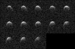
2024-02-26 | Asteroid |
Deep Space Network (DSN) |
Deep Space Network |
3410x2222x1 |
|
|||||
|
|
2024-02-15 | Earth |
Terra |
ASTER |
2016x1184x3 |
|
|||||
|
|
2024-02-06 | Mars |
Mars 2020 Rover |
Mastcam-Z |
5044x2383x3 |
|
|||||
|
|
2024-01-31 | Mars |
Mars Reconnaissance Orbiter (MRO) |
HiRISE |
2880x1800x3 |
|
|||||
|
|
2024-01-31 | Mars |
Mars Reconnaissance Orbiter (MRO) |
HiRISE |
2880x1800x3 |
|
|||||
|
|
2024-01-31 | Mars |
Mars Reconnaissance Orbiter (MRO) |
HiRISE |
2880x1800x3 |
|
|||||
|
|
2024-01-31 | Mars |
Mars Reconnaissance Orbiter (MRO) |
HiRISE |
2880x1800x3 |
|
|||||
|
|
2024-01-29 | Earth |
Terra |
ASTER |
2700x3500x3 |

|
|||||
|
|
2024-01-25 | Mars |
Mars Helicopter |
4208x3120x3 | |
|
|||||
|
|
2024-01-25 | Mars |
Mars Helicopter |
4208x3120x3 | |

|
|||||
|
|
2024-01-17 | Earth |
Landsat |
1440x1100x3 | |

|
|||||
|
|
2024-01-17 | Earth |
Landsat |
1440x960x3 | |

|
|||||
|
|
2024-01-11 | Earth |
Terra |
ASTER |
1348x1320x3 |

|
|||||
|
|
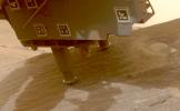
2024-01-08 | Mars |
Mars Science Laboratory (MSL) |
Hazcam (MSL) |
1024x1024x1 |

|
|||||
|
|
2023-12-29 | Mars |
2001 Mars Odyssey |
THEMIS |
728x1462x1 |
|
|||||
|
|
2023-12-28 | Mars |
2001 Mars Odyssey |
THEMIS |
607x2710x1 |
|
|
|||||
|
|
2023-12-27 | Mars |
2001 Mars Odyssey |
THEMIS |
696x1431x1 |
|
|
|||||
|
|
2023-12-26 | Mars |
2001 Mars Odyssey |
THEMIS |
716x1457x1 |
|
|
|||||
|
|
2023-12-25 | Mars |
2001 Mars Odyssey |
THEMIS |
700x1431x1 |
|
|
|||||
|
|
2023-12-22 | Mars |
2001 Mars Odyssey |
THEMIS |
609x2711x1 |
|
|
|||||
|
|
2023-12-21 | Mars |
2001 Mars Odyssey |
THEMIS |
703x1438x1 |
|
|
|||||
|
|
2023-12-20 | Mars |
Mars Helicopter |
1921x1027x3 | |
|
|||||
|
|
2023-12-20 | Mars |
2001 Mars Odyssey |
THEMIS |
604x2709x1 |
|
|
|||||
|
|
2023-12-19 | Mars |
Mars Reconnaissance Orbiter (MRO) |
HiRISE |
2880x1800x3 |

|
|||||
|
|
2023-12-19 | Mars |
Mars Reconnaissance Orbiter (MRO) |
HiRISE |
2880x1800x3 |
|
|||||
|
|
2023-12-19 | Mars |
Mars Reconnaissance Orbiter (MRO) |
HiRISE |
2880x1800x3 |
|
|||||
|
|
2023-12-19 | Mars |
Mars Reconnaissance Orbiter (MRO) |
HiRISE |
2880x1800x3 |
|
|||||
|
|
2023-12-19 | Mars |
2001 Mars Odyssey |
THEMIS |
611x2701x1 |
|
|
|||||
|
|
2023-12-18 | Mars |
2001 Mars Odyssey |
THEMIS |
715x1446x1 |
|
|
|||||
|
|
2023-12-15 | Mars |
2001 Mars Odyssey |
THEMIS |
611x2702x1 |
|
|
|||||
|
|
2023-12-14 | Earth |
Terra |
ASTER |
1600x1900x3 |

|
|||||
|
|
2023-12-14 | Mars |
2001 Mars Odyssey |
THEMIS |
716x1452x1 |
|
|
|||||
|
|
2023-12-13 | Mars |
2001 Mars Odyssey |
THEMIS |
696x1428x1 |
|
|
|||||
|
|
2023-12-12 | Mars |
Mars Reconnaissance Orbiter (MRO) |
HiRISE |
2311x1728x3 |
|
|||||
|
|
2023-12-12 | Mars |
Mars 2020 Rover |
Scanning Habitable Environments with Raman & Luminescence for Organics and Chemicals (SHERLOC) |
2968x1666x3 |

|
|||||
|
|
2023-12-12 | Mars |
Mars 2020 Rover |
Mastcam-Z |
4447x1517x3 |
|
|||||
|
|
2023-12-12 | Mars |
Mars 2020 Rover |
Planetary Instrument for X-ray Lithochemistry (PIXL) |
3561x1996x3 |
|
|||||
|
|
2023-12-12 | Mars |
Mars 2020 Rover |
Planetary Instrument for X-ray Lithochemistry (PIXL) |
1252x1069x3 |

|
|||||
|
|
2023-12-12 | Mars |
Mars 2020 Rover |
Planetary Instrument for X-ray Lithochemistry (PIXL) |
1600x1200x3 |

|
|||||
|
|
2023-12-12 | Mars |
Mars 2020 Rover |
1580x882x3 | |

|
|||||
|
|
2023-12-12 | Mars |
Mars 2020 Rover |
Mastcam-Z |
9000x2425x3 |
|
|||||
|
|
2023-12-12 | Mars |
2001 Mars Odyssey |
THEMIS |
703x1434x1 |
|
|
|||||
|
|
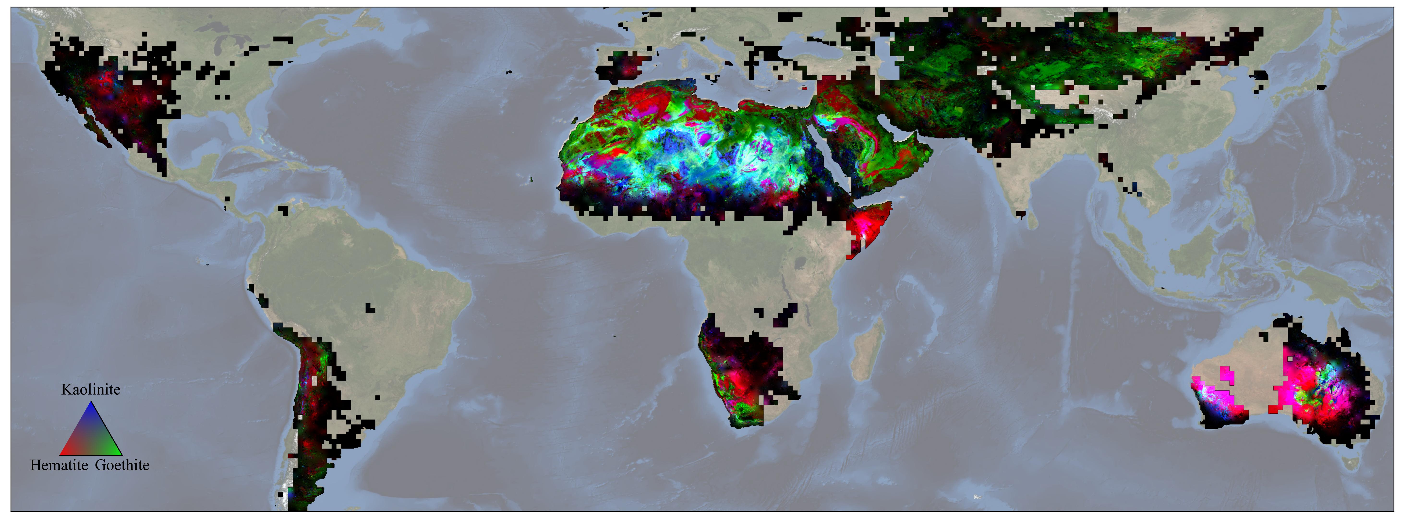
2023-12-11 | Earth |
Earth Surface Mineral Dust Source Investigation (EMIT) |
EMIT |
5836x2174x3 |
|
|||||
|
|
2023-12-11 | Mars |
2001 Mars Odyssey |
THEMIS |
616x2697x1 |
|
|
|||||
|
|
2023-12-08 | Mars |
2001 Mars Odyssey |
THEMIS |
606x2707x1 |
|
|
|||||
|
|
2023-12-07 | Mars |
2001 Mars Odyssey |
THEMIS |
717x1459x1 |
|
|
|||||
|
|
2023-12-06 | Mars |
2001 Mars Odyssey |
THEMIS |
697x1426x1 |
|
|
|||||
|
|
2023-12-05 | Mars |
2001 Mars Odyssey |
THEMIS |
707x1435x1 |
|
|
|||||
|
|
2023-12-04 | Mars |
2001 Mars Odyssey |
THEMIS |
706x1442x1 |
|
|
|||||
|
|
2023-12-01 | Mars |
2001 Mars Odyssey |
THEMIS |
709x1441x1 |
|
|
|||||
|
|
2023-11-30 | Mars |
2001 Mars Odyssey |
THEMIS |
701x1433x1 |
|
|
|||||
|
|
2023-11-29 | Mars |
2001 Mars Odyssey |
THEMIS |
704x1437x1 |
|
|
|||||
|
|
2023-11-28 | Mars |
2001 Mars Odyssey |
THEMIS |
5000x1280x3 |

|
|||||
|
|
2023-11-28 | Mars |
2001 Mars Odyssey |
THEMIS |
712x1441x1 |
|
|
|||||
|
|
2023-11-27 | Mars |
2001 Mars Odyssey |
THEMIS |
717x1456x1 |
|
|
|||||
|
|
2023-11-24 | Mars |
2001 Mars Odyssey |
THEMIS |
707x1438x1 |
|
|
|||||
|
|
2023-11-23 | Mars |
2001 Mars Odyssey |
THEMIS |
601x2708x1 |
|
|
|||||
|
|
2023-11-22 | Mars |
Mars 2020 Rover Mars Helicopter |
Mastcam-Z |
1920x1079x3 |
|
|||||
|
|
2023-11-22 | Mars |
2001 Mars Odyssey |
THEMIS |
708x1446x1 |
|
|
|||||
|
|
2023-11-21 | Mars |
2001 Mars Odyssey |
THEMIS |
600x2690x1 |
|
|
|||||
|
|
2023-11-20 | Mars |
2001 Mars Odyssey |
THEMIS |
607x2705x1 |
|
|
|||||
|
|
2023-11-17 | Earth |
Earth Surface Mineral Dust Source Investigation (EMIT) |
EMIT |
3499x1700x3 |
|
|||||

|
 |
 |
 |
|
|
|
|
|
|
|

|
| 1-100 | 101-200 | 201-300 | 301-400 | 401-500 | 501-600 | 601-700 | 701-800 | 801-900 | 901-1000 |
| Currently displaying images: 101 - 200 of 19741 |