|
Your search criteria found 19740 images Target is Sun |
| My List |
Addition Date
|
Target | Mission | Instrument | Size |

|
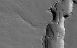
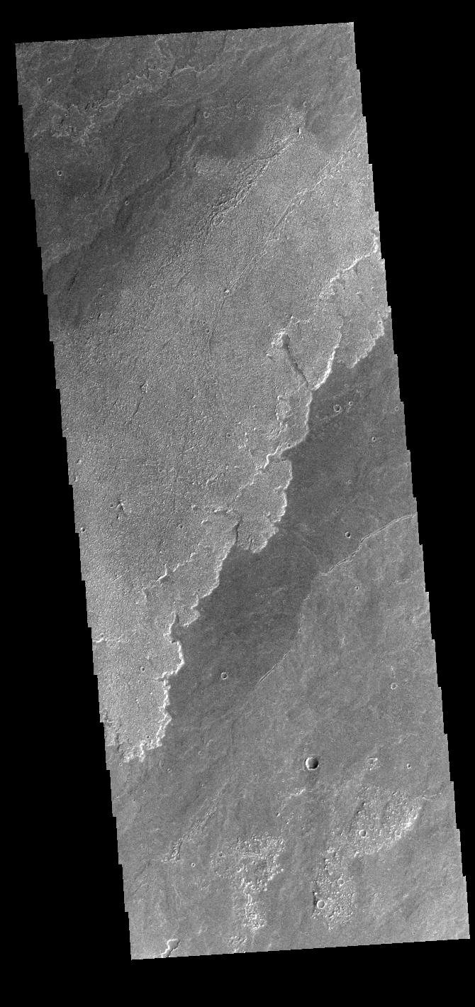
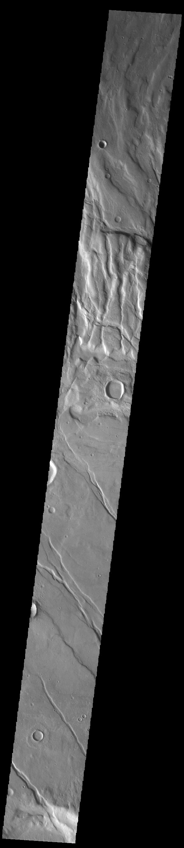
2022-12-29 | Mars |
2001 Mars Odyssey |
THEMIS |
660x1432x1 |
|
|
|||||
|
|
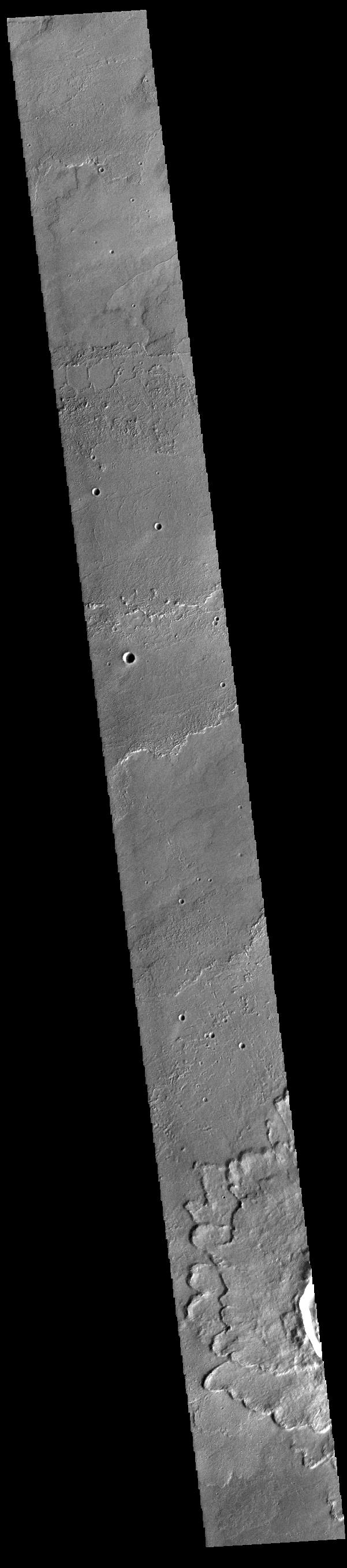
2022-12-28 | Mars |
2001 Mars Odyssey |
THEMIS |
661x1431x1 |
|
|
|||||
|
|
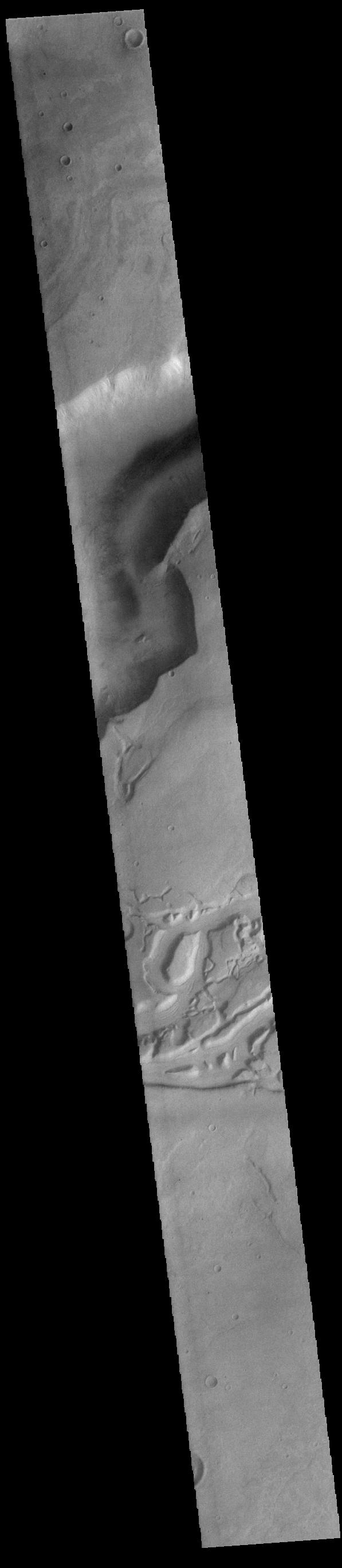
2022-12-27 | Mars |
2001 Mars Odyssey |
THEMIS |
605x2708x1 |
|
|
|||||
|
|
2022-12-26 | Mars |
2001 Mars Odyssey |
THEMIS |
670x1436x1 |
|
|
|||||
|
|
2022-12-23 | Mars |
2001 Mars Odyssey |
THEMIS |
681x1419x1 |
|
|
|||||
|
|
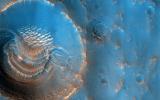
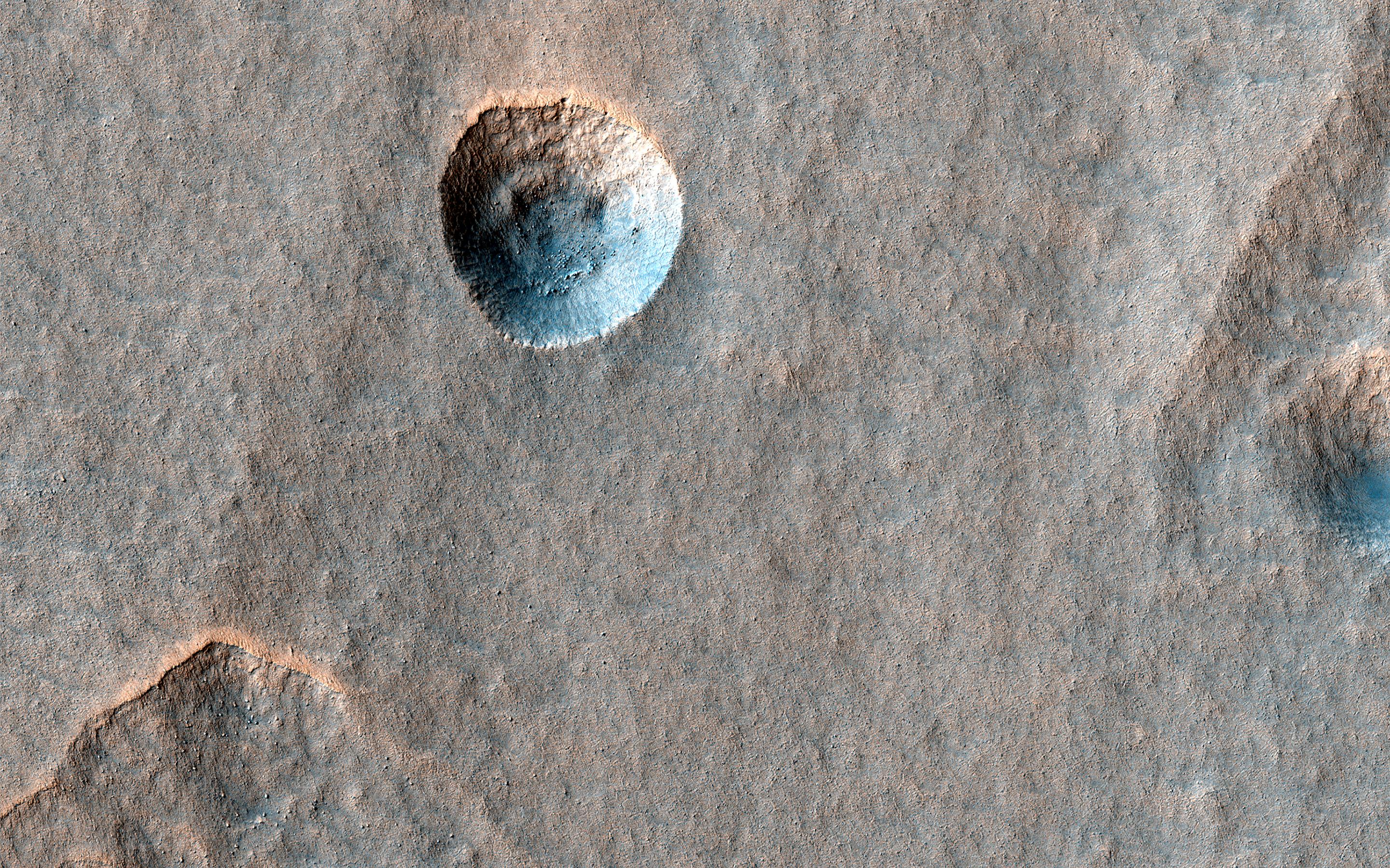
2022-12-22 | Mars |
Mars Reconnaissance Orbiter (MRO) |
HiRISE |
2880x1800x3 |

|
|||||
|
|
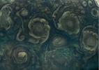
2022-12-22 | Mars |
Mars Reconnaissance Orbiter (MRO) |
HiRISE |
2880x1800x3 |
|
|||||
|
|
2022-12-22 | Mars |
Mars Reconnaissance Orbiter (MRO) |
HiRISE |
2880x1800x3 |

|
|||||
|
|
2022-12-22 | Mars |
Mars Reconnaissance Orbiter (MRO) |
HiRISE |
2880x1800x3 |
|
|||||
|
|
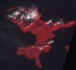
2022-12-22 | Earth |
Terra |
ASTER |
610x686x3 |

|
|||||
|
|
2022-12-22 | Mars |
2001 Mars Odyssey |
THEMIS |
670x1422x1 |
|
|
|||||
|
|
2022-12-22 | Asteroid |
NEO Surveyor |
3000x1787x3 | |
|
|||||
|
|
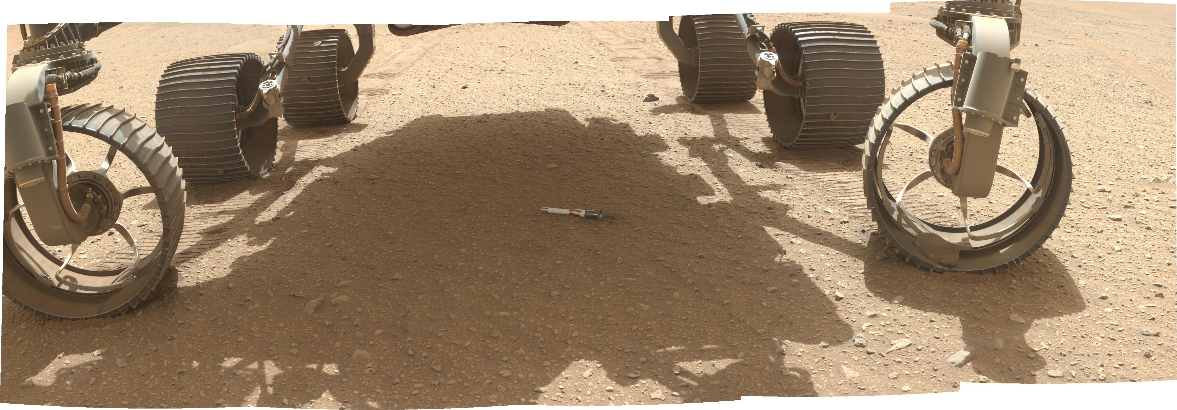
2022-12-21 | Mars |
Mars 2020 Rover |
Scanning Habitable Environments with Raman & Luminescence for Organics and Chemicals (SHERLOC) |
4784x1666x3 |
|
|||||
|
|
2022-12-21 | Mars |
Mars 2020 Rover |
1200x1648x3 | |
|
|||||
|
|
2022-12-21 | Mars |
2001 Mars Odyssey |
THEMIS |
668x1418x1 |
|
|
|||||
|
|
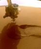
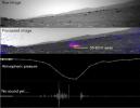
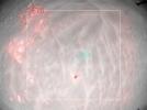
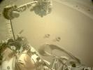
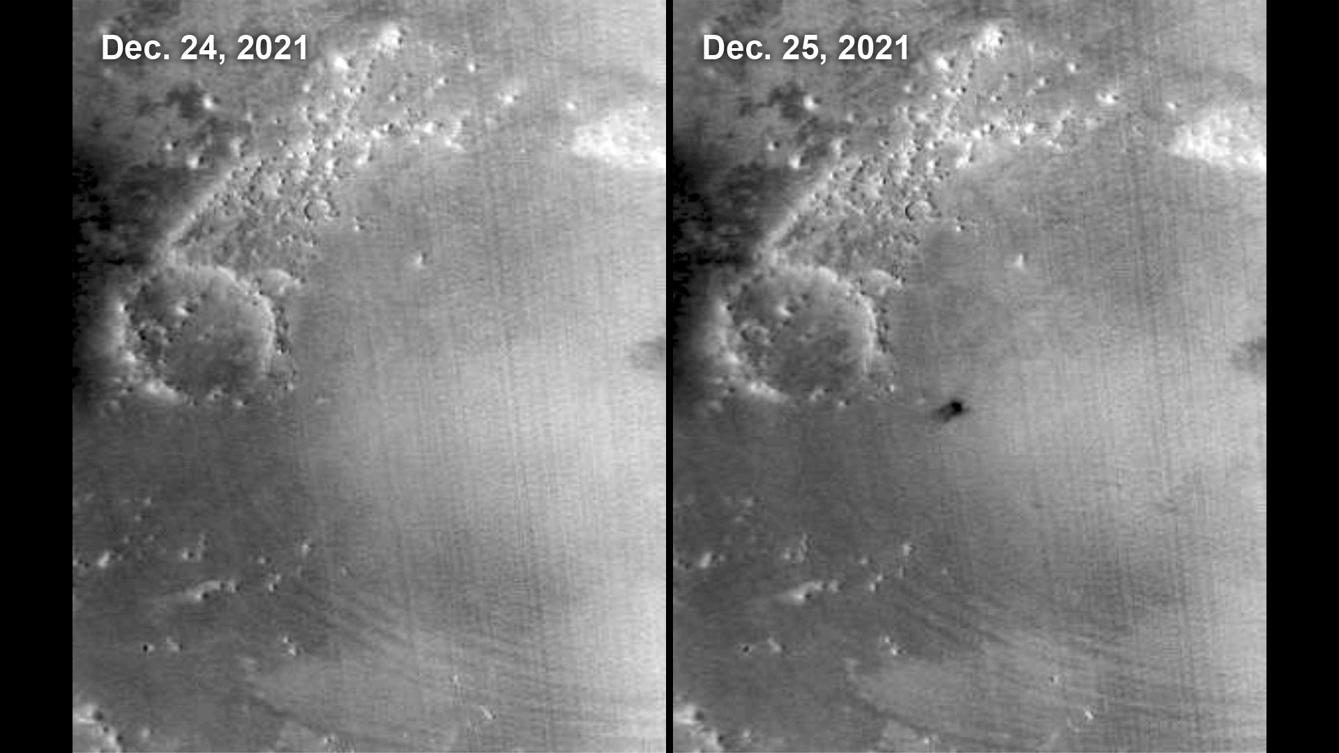
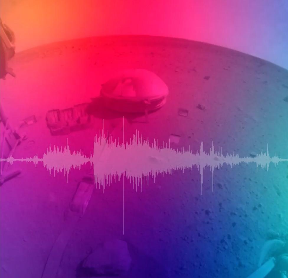
2022-12-21 | Mars |
InSight |
1024x1024x3 | |
|
|||||
|
|
2022-12-20 | Mars |
2001 Mars Odyssey |
THEMIS |
608x2703x1 |
|
|
|||||
|
|
2022-12-19 | Earth |
UAVSAR |
3750x3750x3 | |

|
|||||
|
|
2022-12-19 | Mars |
2001 Mars Odyssey |
THEMIS |
660x1424x1 |
|
|
|||||
|
|
2022-12-16 | Mars |
2001 Mars Odyssey |
THEMIS |
599x2716x1 |
|
|
|||||
|
|
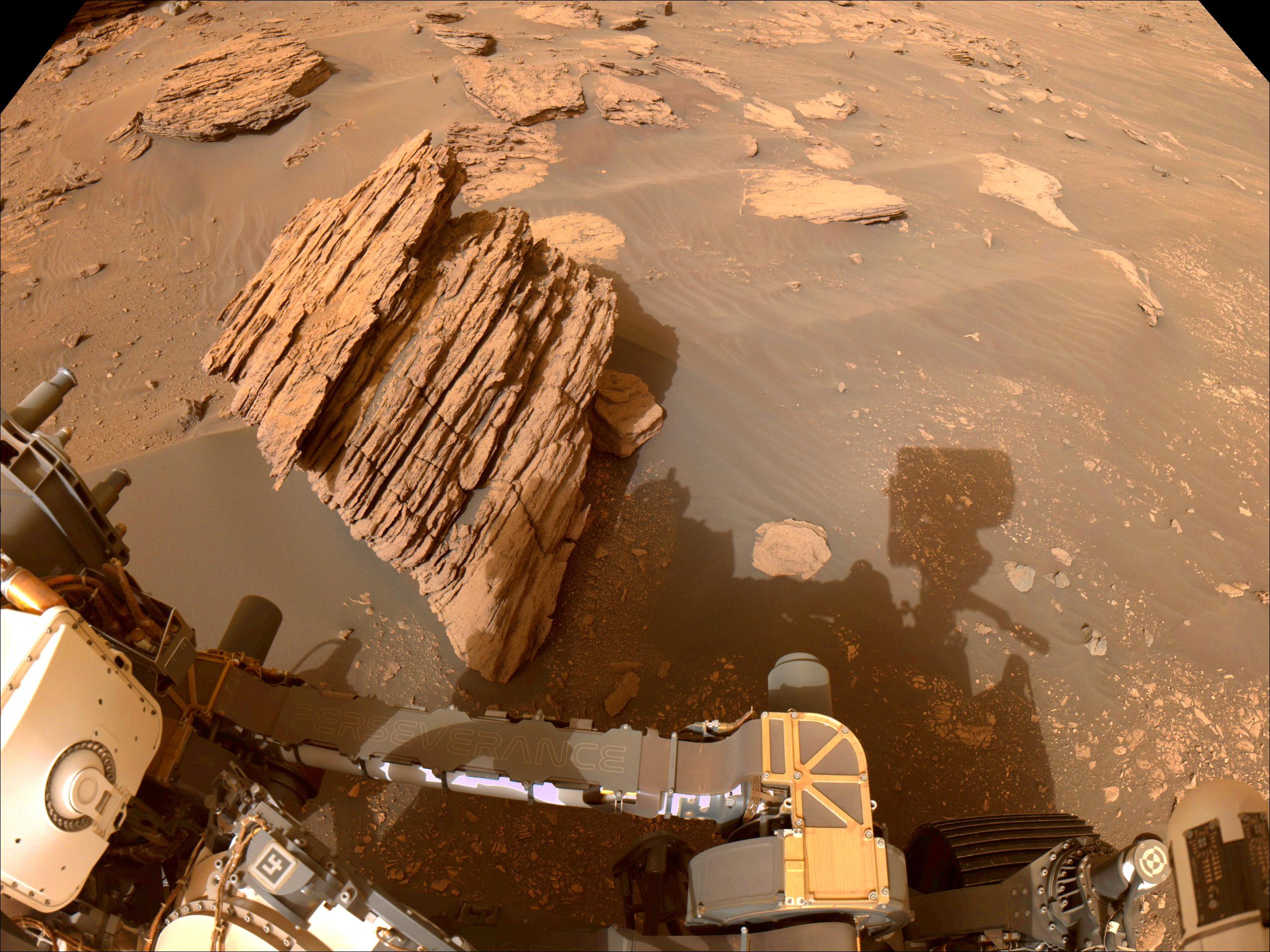
2022-12-15 | Mars |
Mars 2020 Rover |
Navigation Camera (M2020) |
5120x3840x3 |
|
|||||
|
|
2022-12-15 | Mars |
Mars 2020 Rover |
1906x1072x3 | |
|
|||||
|
|
2022-12-15 | Mars |
Mars 2020 Rover |
Navigation Camera (M2020) |
2560x1920x3 |

|
|||||
|
|
2022-12-15 | Mars |
Mars 2020 Rover |
1336x751x3 | |
|
|||||
|
|
2022-12-15 | Mars |
Mars 2020 Rover |
3300x2550x3 | |
|
|||||
|
|
2022-12-15 | Mars |
Mars 2020 Rover |
Mastcam-Z |
40562x5548x3 |
|
|||||
|
|
2022-12-15 | Mars |
Mars 2020 Rover |
Mastcam-Z |
24625x2981x3 |
|
|||||
|
|
2022-12-15 | Mars |
Mars 2020 Rover |
Mastcam-Z |
14578x3201x3 |
|
|||||
|
|
2022-12-15 | Mars |
Mars 2020 Rover |
Mastcam-Z |
16426x13191x3 |
|
|||||
|
|
2022-12-15 | Mars |
Mars 2020 Rover |
Scanning Habitable Environments with Raman & Luminescence for Organics and Chemicals (SHERLOC) |
964x720x3 |

|
|||||
|
|
2022-12-15 | Mars |
Mars 2020 Rover |
Navigation Camera (M2020) |
2560x1920x3 |
|
|||||
|
|
2022-12-15 | Mars |
Mars 2020 Rover |
Hazard Avoidance Camera (M2020) |
5120x2880x3 |
|
|||||
|
|
2022-12-15 | Mars |
Mars 2020 Rover |
Hazard Avoidance Camera (M2020) |
1401x1648x3 |
|
|||||
|
|
2022-12-15 | Mars |
2001 Mars Odyssey |
THEMIS |
597x2707x1 |
|
|
|||||
|
|
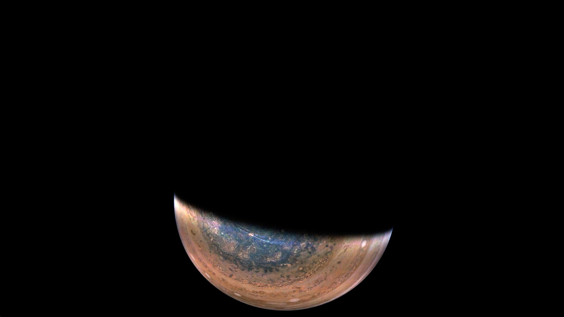
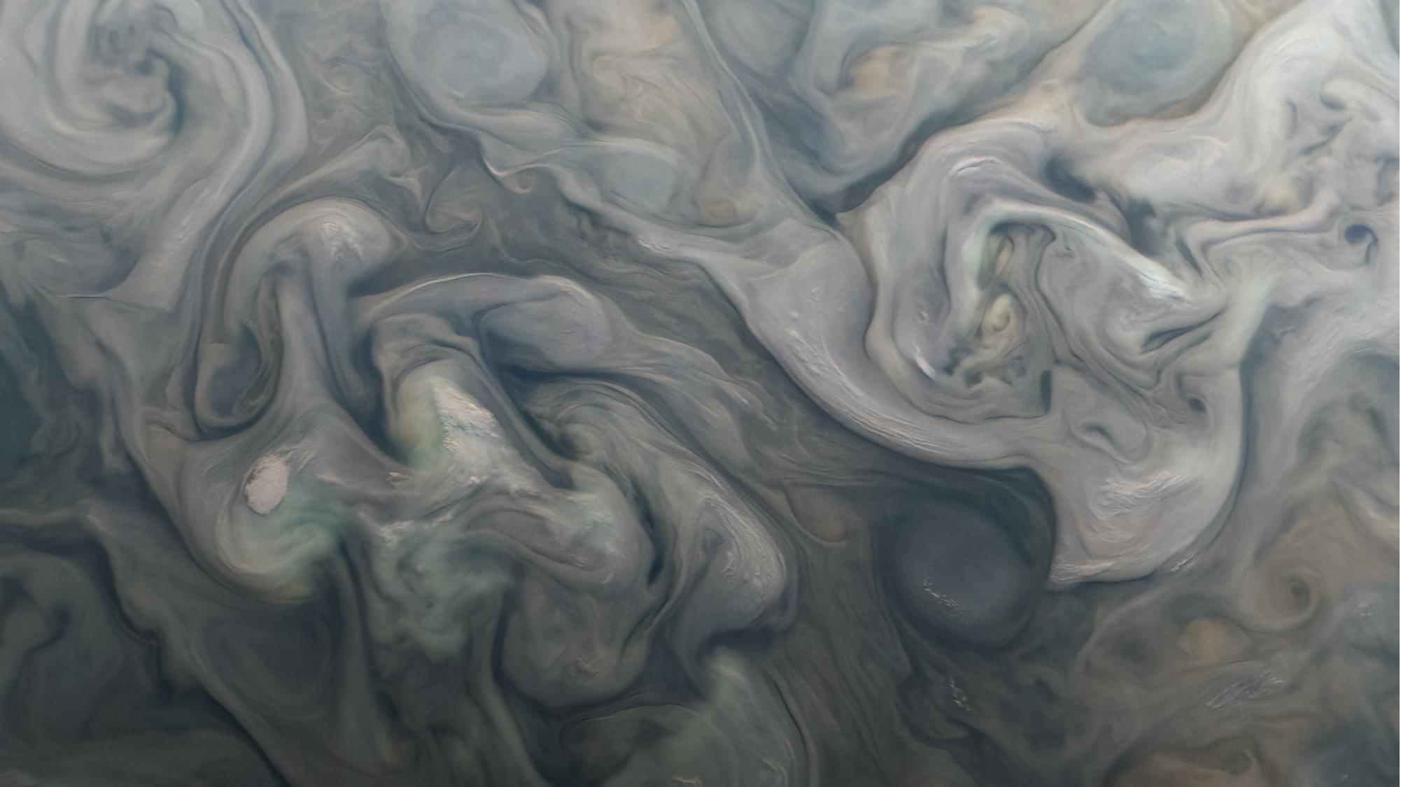
2022-12-14 | Jupiter |
Juno |
JunoCam |
1920x1080x3 |

|
|||||
|
|
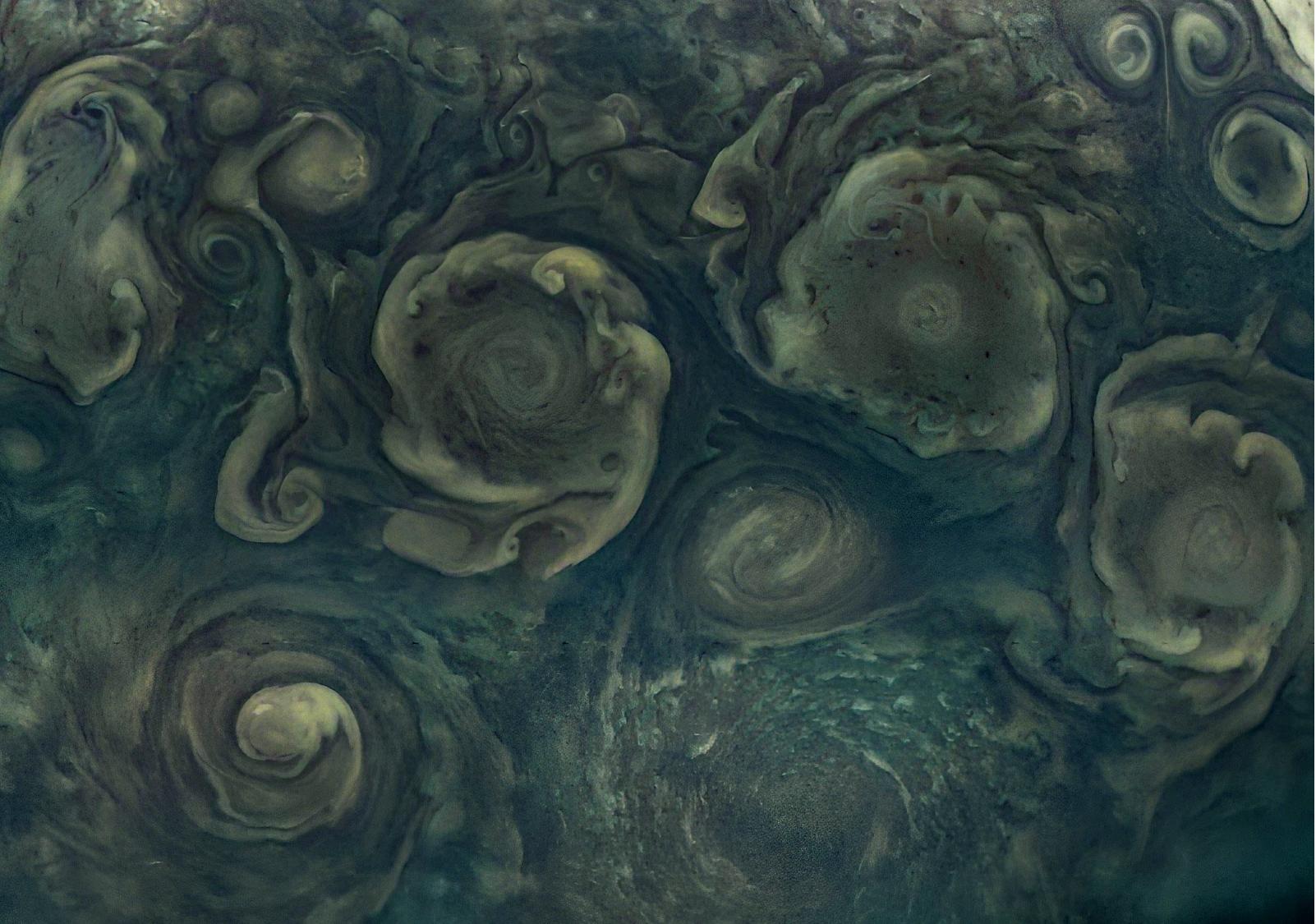
2022-12-14 | Jupiter |
Juno |
JunoCam |
662x1125x3 |

|
|||||
|
|
2022-12-14 | Jupiter |
Juno |
JunoCam |
2002x1125x3 |

|
|||||
|
|
2022-12-14 | Jupiter |
Juno |
JunoCam |
1602x1125x3 |
|
|||||
|
|
2022-12-14 | Mars |
2001 Mars Odyssey |
THEMIS |
668x1437x1 |
|
|
|||||
|
|
2022-12-13 | Mars |
Mars 2020 Rover |
SuperCam |
2370x1840x3 |
|
|||||
|
|
2022-12-13 | Mars |
2001 Mars Odyssey |
THEMIS |
501x1407x1 |
|
|
|||||
|
|
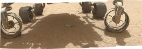
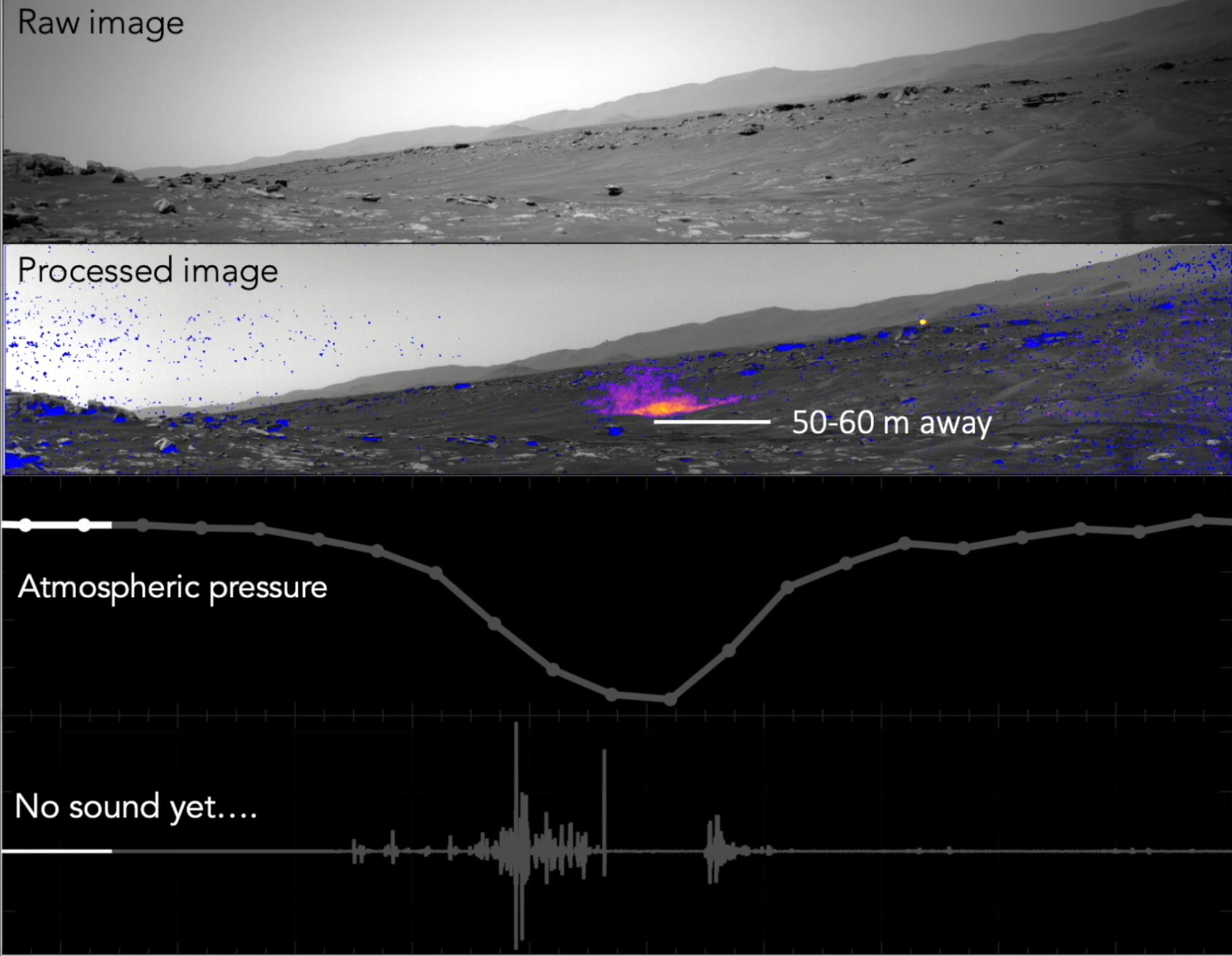
2022-12-12 | Mars |
Mars Helicopter |
636x476x3 | |
|
|||||
|
|
2022-12-12 | Mars |
2001 Mars Odyssey |
THEMIS |
664x1434x1 |
|
|
|||||
|
|
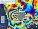
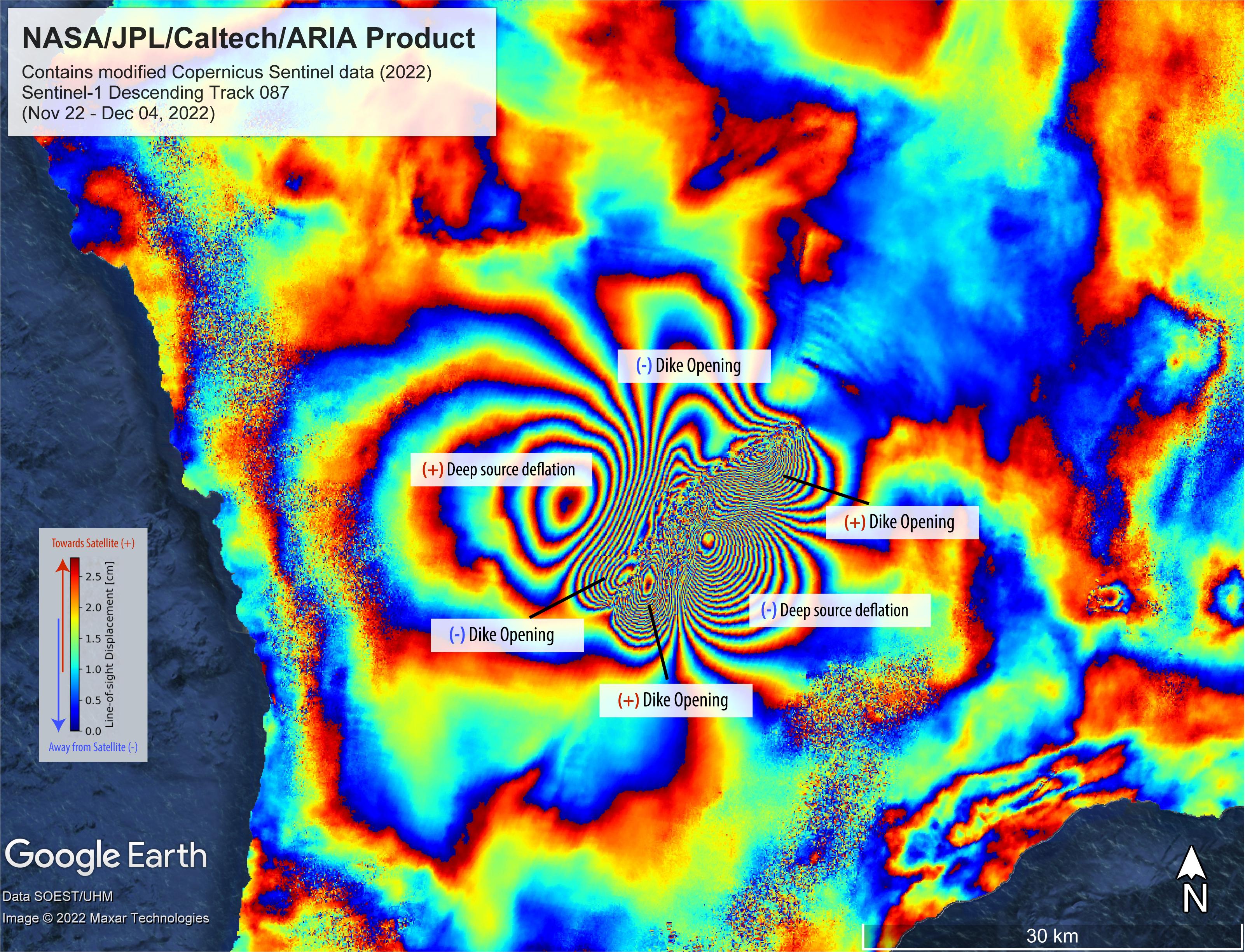
2022-12-09 | Earth |
ARIA |
SAR |
3203x2451x3 |
|
|||||
|
|
2022-12-09 | Mars |
2001 Mars Odyssey |
THEMIS |
673x1418x1 |
|
|
|||||
|
|
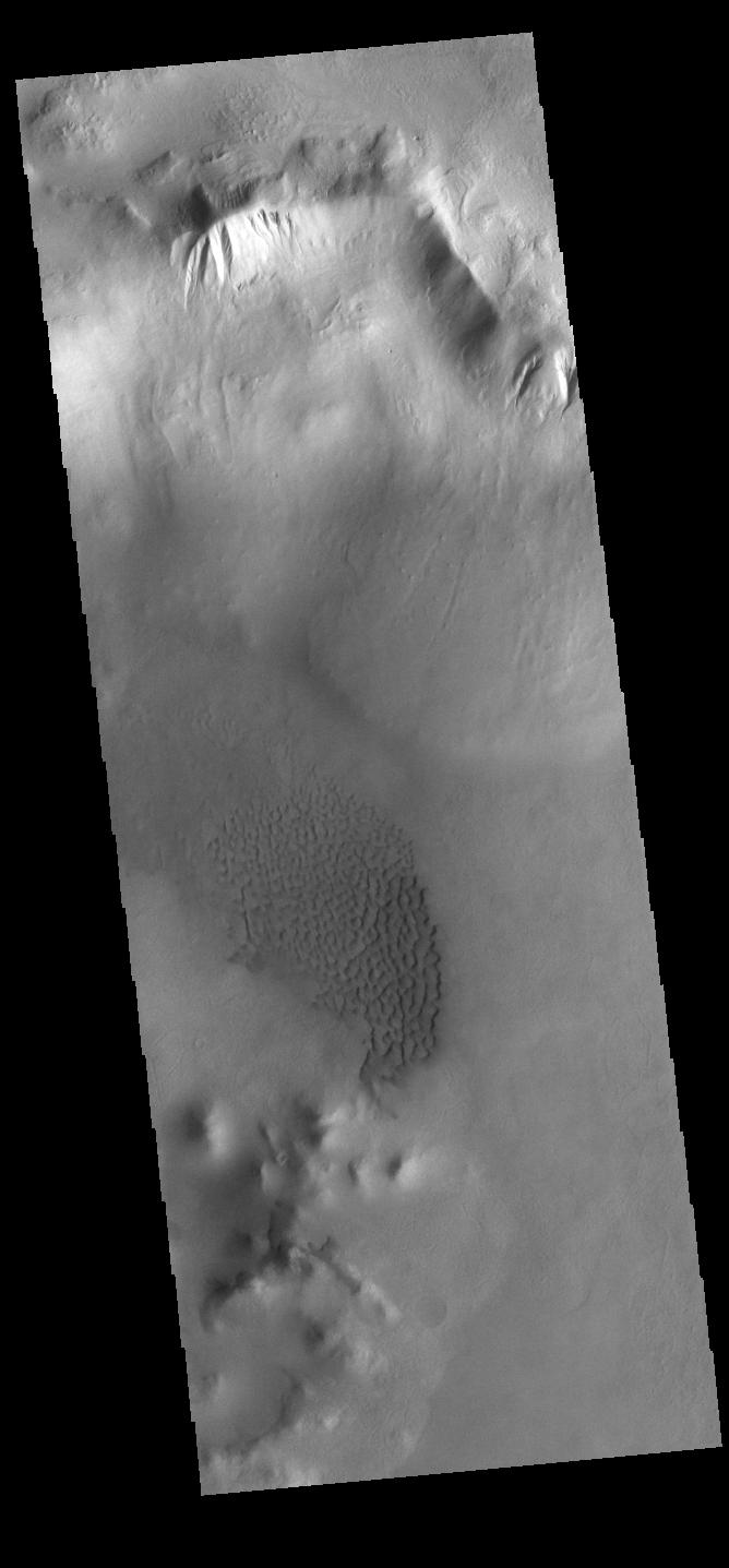
2022-12-08 | Mars |
2001 Mars Odyssey |
THEMIS |
296x2829x1 |
|
|
|||||
|
|
2022-12-07 | Mars |
Mars 2020 Rover |
Navigation Camera (M2020) |
5120x3840x3 |
|
|||||
|
|
2022-12-07 | Mars |
Mars 2020 Rover |
1280x960x3 | |
|
|||||
|
|
2022-12-07 | Mars |
2001 Mars Odyssey |
THEMIS |
614x2733x1 |
|
|
|||||
|
|
2022-12-06 | Earth |
Terra |
ASTER |
2985x2730x3 |
|
|||||
|
|
2022-12-06 | Mars |
2001 Mars Odyssey |
THEMIS |
671x1425x1 |
|
|
|||||
|
|
2022-12-05 | Earth |
Aqua |
AIRS |
2702x3011x3 |
|
|||||
|
|
2022-12-05 | Mars |
2001 Mars Odyssey |
THEMIS |
666x1437x1 |
|
|
|||||
|
|
2022-12-02 | Mars |
2001 Mars Odyssey |
THEMIS |
595x2722x1 |
|
|
|||||
|
|
2022-12-01 | Mars |
2001 Mars Odyssey |
THEMIS |
494x1400x1 |
|
|
|||||
|
|
2022-11-30 | Mars |
2001 Mars Odyssey |
THEMIS |
494x1401x1 |
|
|
|||||
|
|
2022-11-29 | Mars |
2001 Mars Odyssey |
THEMIS |
598x2735x1 |
|
|
|||||
|
|
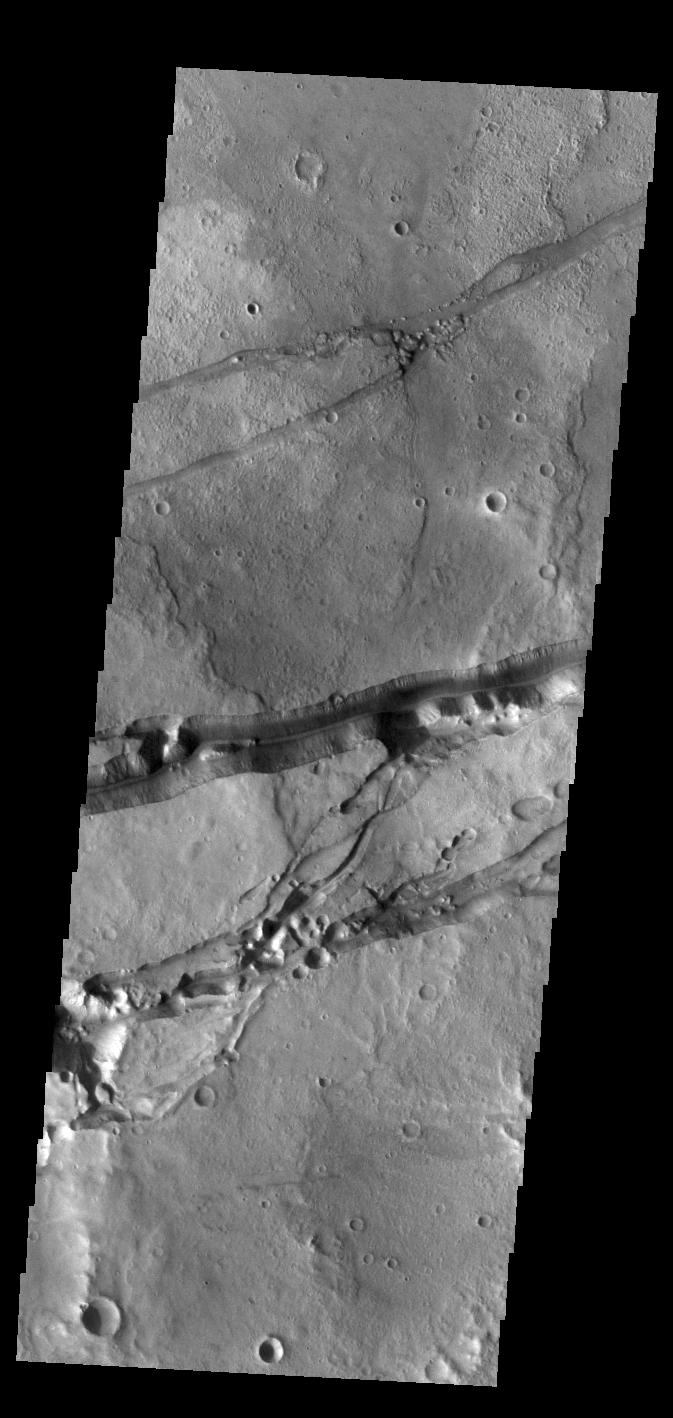
2022-11-28 | Mars |
2001 Mars Odyssey |
THEMIS |
663x1433x1 |
|
|
|||||
|
|
2022-11-25 | Mars |
2001 Mars Odyssey |
THEMIS |
594x2732x1 |
|
|
|||||
|
|
2022-11-24 | Mars |
2001 Mars Odyssey |
THEMIS |
678x1422x1 |
|
|
|||||
|
|
2022-11-23 | Mars |
2001 Mars Odyssey |
THEMIS |
271x2775x1 |
|
|
|||||
|
|
2022-11-22 | Mars |
2001 Mars Odyssey |
THEMIS |
671x1423x1 |
|
|
|||||
|
|
2022-11-21 | Mars |
2001 Mars Odyssey |
THEMIS |
668x1433x1 |
|
|
|||||
|
|
2022-11-18 | Mars |
2001 Mars Odyssey |
THEMIS |
597x2719x1 |
|
|
|||||
|
|
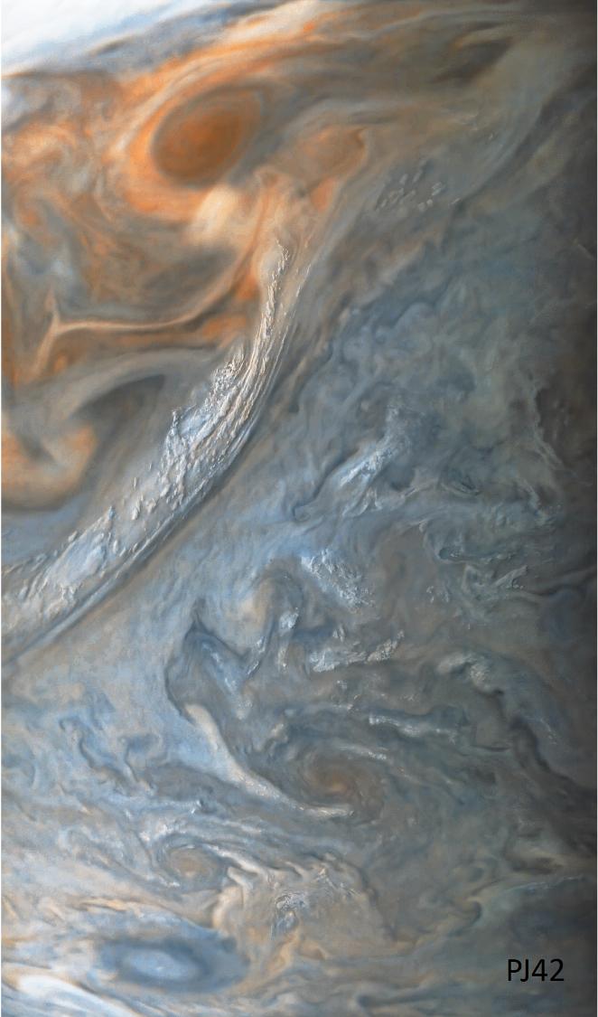
2022-11-17 | Jupiter |
Juno |
JunoCam |
2365x2365x3 |

|
|||||
|
|
2022-11-17 | Mars |
Mars 2020 Rover |
Hazard Avoidance Camera (M2020) |
5120x2880x3 |
|
|||||
|
|
2022-11-17 | Mars |
2001 Mars Odyssey |
THEMIS |
490x1397x1 |
|
|
|||||
|
|
2022-11-16 | Mars |
2001 Mars Odyssey |
THEMIS |
668x1425x1 |
|
|
|||||
|
|
2022-11-15 | Mars |
2001 Mars Odyssey |
THEMIS |
601x2711x1 |
|
|
|||||
|
|
2022-11-14 | Mars |
Mars Helicopter |
6000x4326x3 | |
|
|||||
|
|
2022-11-14 | Mars |
2001 Mars Odyssey |
THEMIS |
1319x2683x1 |
|
|
|||||
|
|
2022-11-14 | Earth |
Surface Water and Ocean Topography (SWOT) |
1920x1080x3 | |
|
|||||
|
|
2022-11-11 | Mars |
2001 Mars Odyssey |
THEMIS |
666x1397x1 |
|
|
|||||
|
|
2022-11-10 | Mars |
2001 Mars Odyssey |
THEMIS |
670x1427x1 |
|
|
|||||
|
|
2022-11-09 | Mars |
2001 Mars Odyssey |
THEMIS |
669x1417x1 |
|
|
|||||
|
|
2022-11-08 | Mars |
2001 Mars Odyssey |
THEMIS |
675x1420x1 |
|
|
|||||
|
|
2022-11-07 | Mars |
2001 Mars Odyssey |
THEMIS |
839x2736x1 |
|
|
|||||
|
|
2022-11-04 | Mars |
2001 Mars Odyssey |
THEMIS |
670x1419x1 |
|
|
|||||
|
|
2022-11-03 | Mars |
Mars 2020 Rover |
1630x1557x3 | |
|
|||||
|
|
2022-11-03 | Mars |
2001 Mars Odyssey |
THEMIS |
601x2714x1 |
|
|
|||||
|
|
2022-11-02 | Mars |
2001 Mars Odyssey |
THEMIS |
598x2704x1 |
|
|
|||||
|
|
2022-11-01 | Mars |
2001 Mars Odyssey |
THEMIS |
677x1428x1 |
|
|
|||||
|
|
2022-10-31 | Mars |
2001 Mars Odyssey |
THEMIS |
597x2732x1 |
|
|
|||||
|
|
2022-10-28 | Mars |
2001 Mars Odyssey |
THEMIS |
593x2730x1 |
|
|
|||||
|
|
2022-10-27 | Mars |
Mars Reconnaissance Orbiter (MRO) |
CTX |
3351x3083x1 |
|
|||||
|
|
2022-10-27 | Mars |
Mars Reconnaissance Orbiter (MRO) |
HiRISE |
1200x674x3 |
|
|||||
|
|
2022-10-27 | Mars |
Mars Reconnaissance Orbiter (MRO) |
MARCI |
1920x1080x1 |

|
|||||
|
|
2022-10-27 | Mars |
Mars Reconnaissance Orbiter (MRO) |
CTX |
5448x3523x1 |

|
|||||
|
|
2022-10-27 | Mars |
Mars Reconnaissance Orbiter (MRO) |
HiRISE |
1920x1080x3 |
|
|||||
|
|
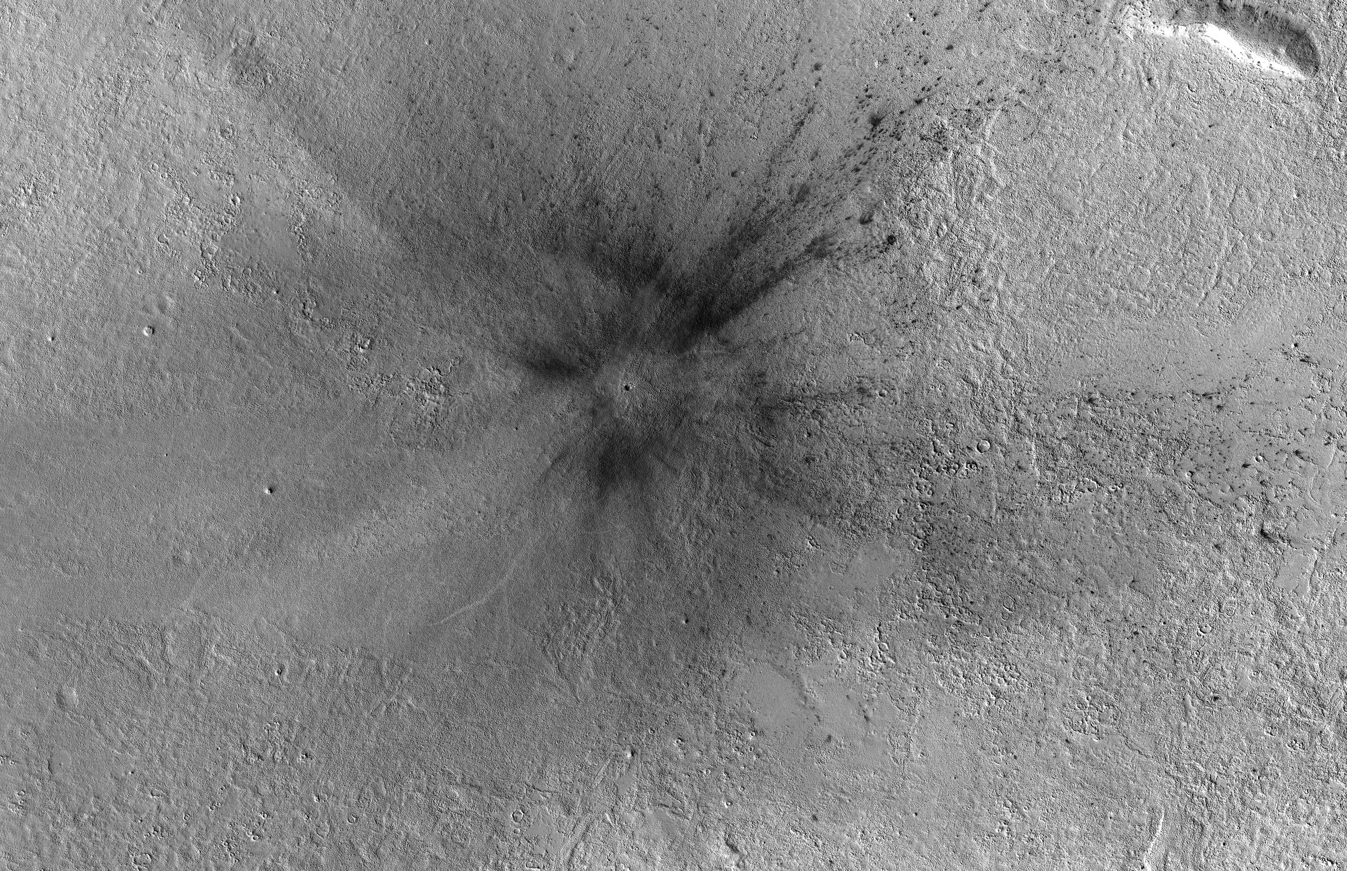
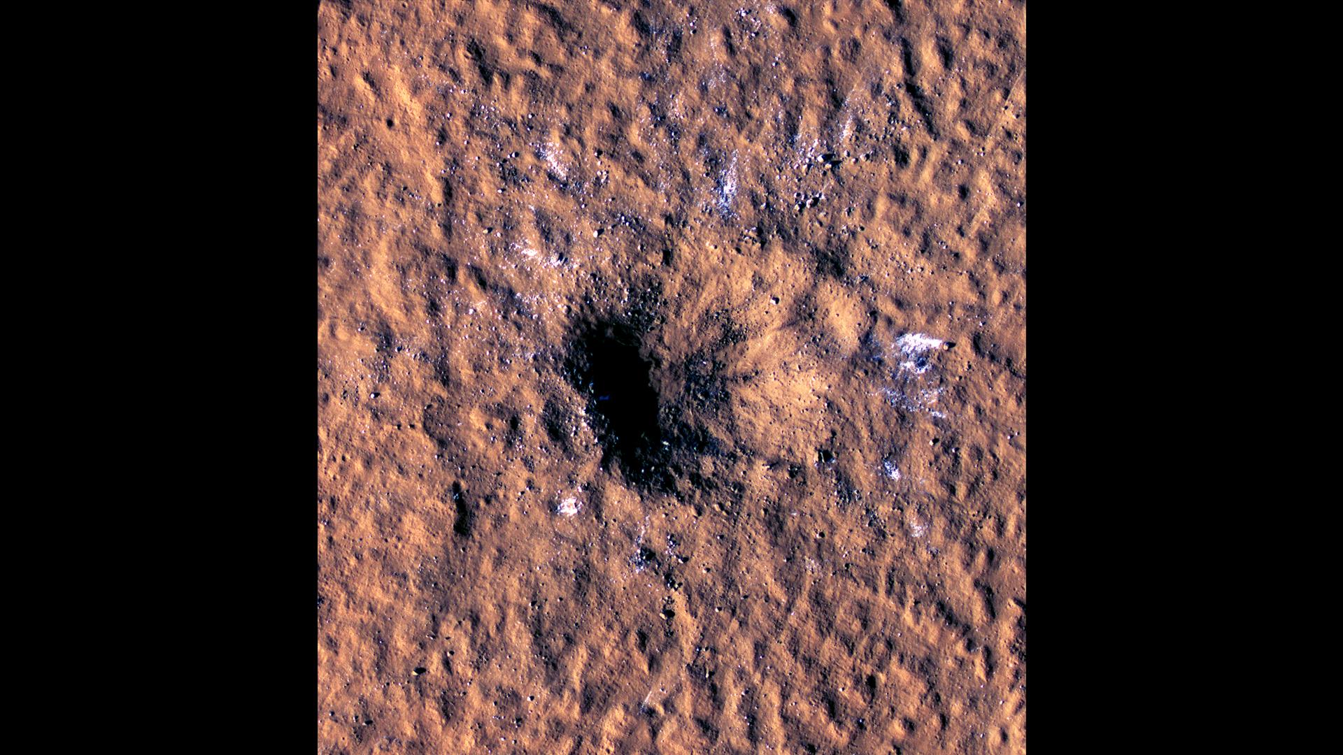
2022-10-27 | Mars |
InSight |
976x942x3 | |

|
|||||
|
|
2022-10-27 | Mars |
2001 Mars Odyssey |
THEMIS |
602x2716x1 |
|
|
|||||
|
|
2022-10-26 | Mars |
2001 Mars Odyssey |
THEMIS |
670x1435x1 |
|
|
|||||
|
|
2022-10-25 | Earth |
Earth Surface Mineral Dust Source Investigation (EMIT) |
EMIT |
1925x834x3 |
|
|||||
|
|
2022-10-25 | Earth |
Earth Surface Mineral Dust Source Investigation (EMIT) |
EMIT |
1557x834x3 |
|
|||||
|
|
2022-10-25 | Mars |
2001 Mars Odyssey |
THEMIS |
605x2709x1 |
|
|
|||||
|
|
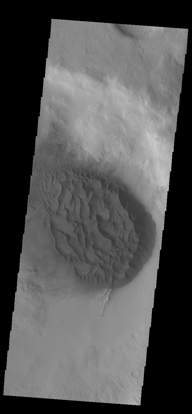
2022-10-24 | Mars |
Mars Reconnaissance Orbiter (MRO) |
HiRISE |
2880x1800x3 |
|
|||||
|
|
2022-10-24 | Mars |
Mars Reconnaissance Orbiter (MRO) |
HiRISE |
2880x1800x3 |
|
|||||
|
|
2022-10-24 | Mars |
Mars Reconnaissance Orbiter (MRO) |
HiRISE |
2880x1800x3 |

|
|||||
|
|
2022-10-24 | Mars |
Mars Reconnaissance Orbiter (MRO) |
HiRISE |
2880x1800x3 |
|
|||||
|
|
2022-10-24 | Mars |
2001 Mars Odyssey |
THEMIS |
666x1432x1 |
|
|
|||||

|
 |
|
|
|
|
|
 |
 |
|
|

|
| 1-100 | 101-200 | 201-300 | 301-400 | 401-500 | 501-600 | 601-700 | 701-800 | 801-900 | 901-1000 |
| Currently displaying images: 601 - 700 of 19740 |