|
Your search criteria found 19629 images Target is Sun |
| My List |
Addition Date
|
Target | Mission | Instrument | Size |

|
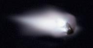
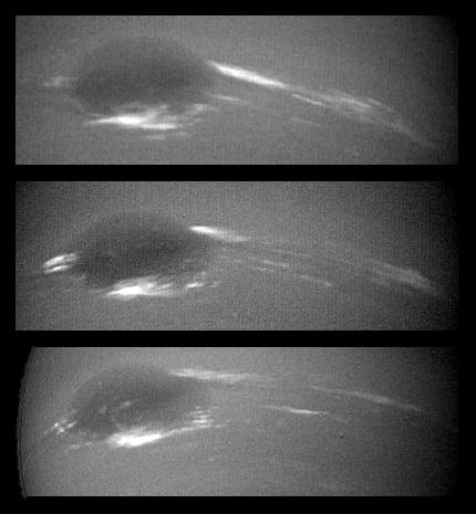
1986-03-14 | Comet | 1836x961x3 | ||
|
|||||
|
|
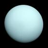
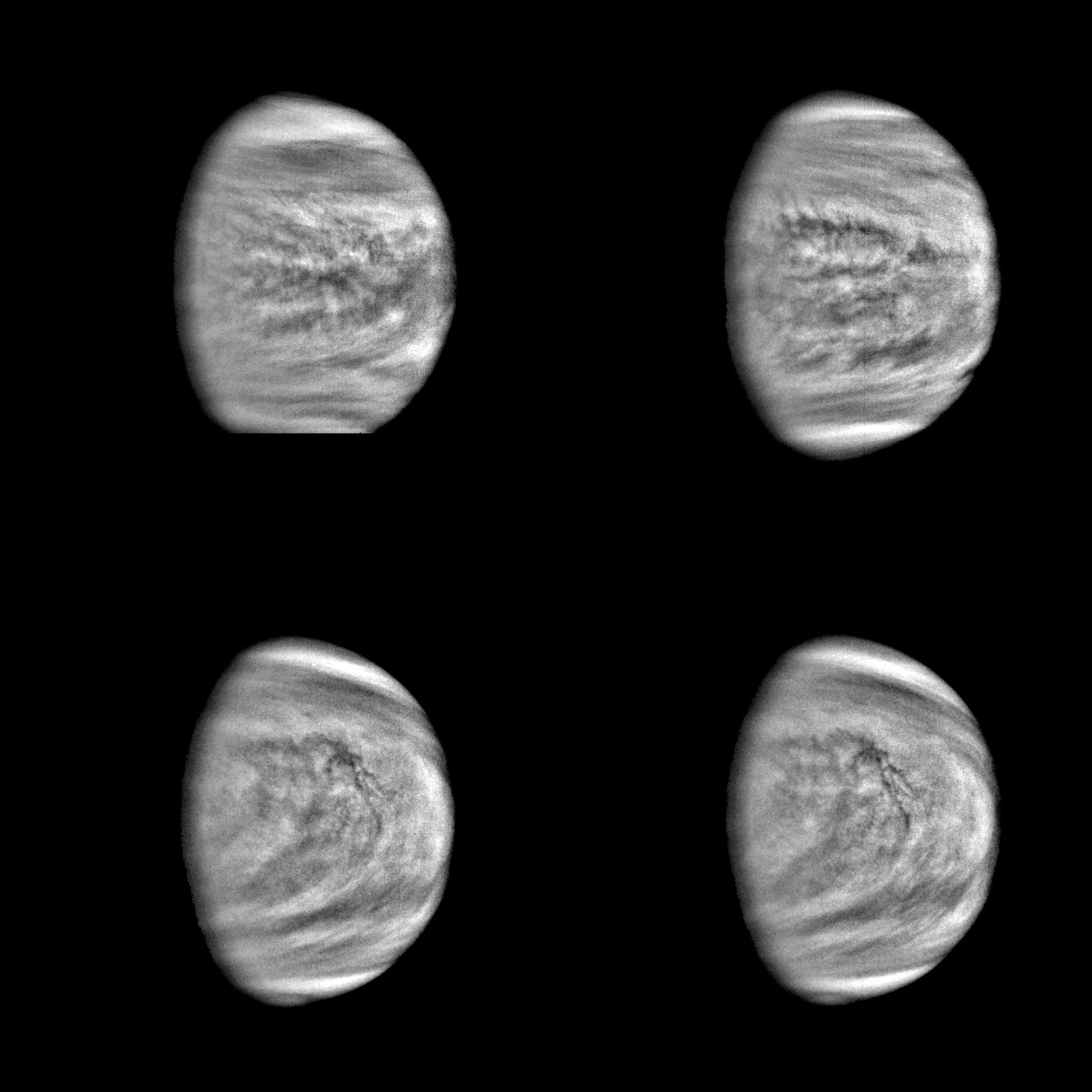
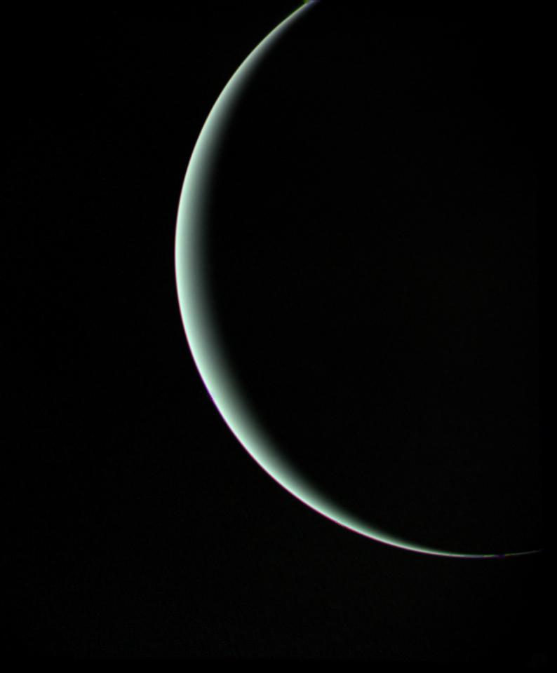
1986-12-18 | Uranus |
Voyager |
VG ISS - Narrow Angle |
1720x1720x3 |
|
|||||
|
|
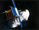
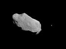
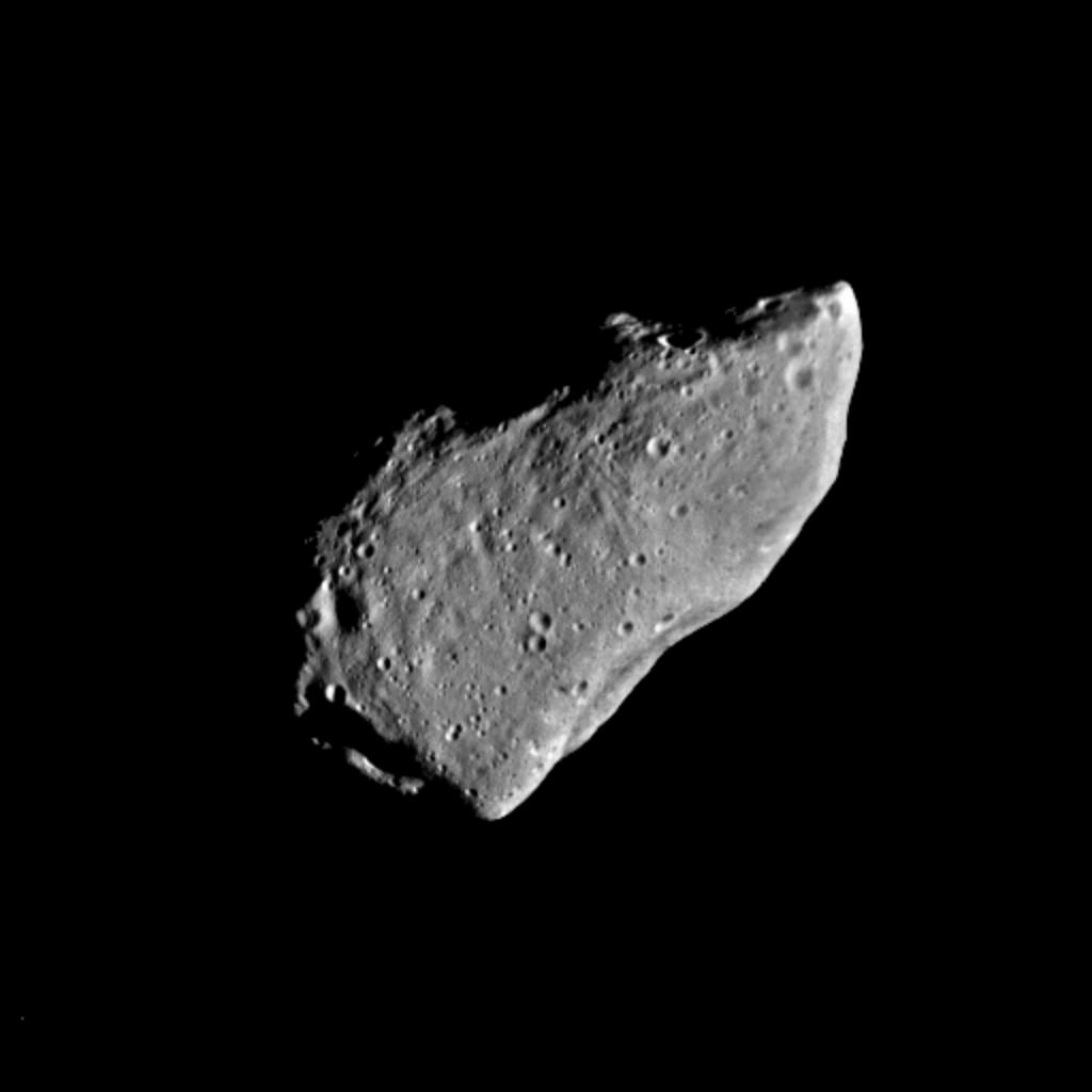
1996-01-02 | Eros |
NEAR |
4396x3335x3 | |
|
|||||
|
|
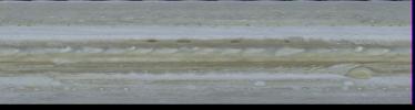
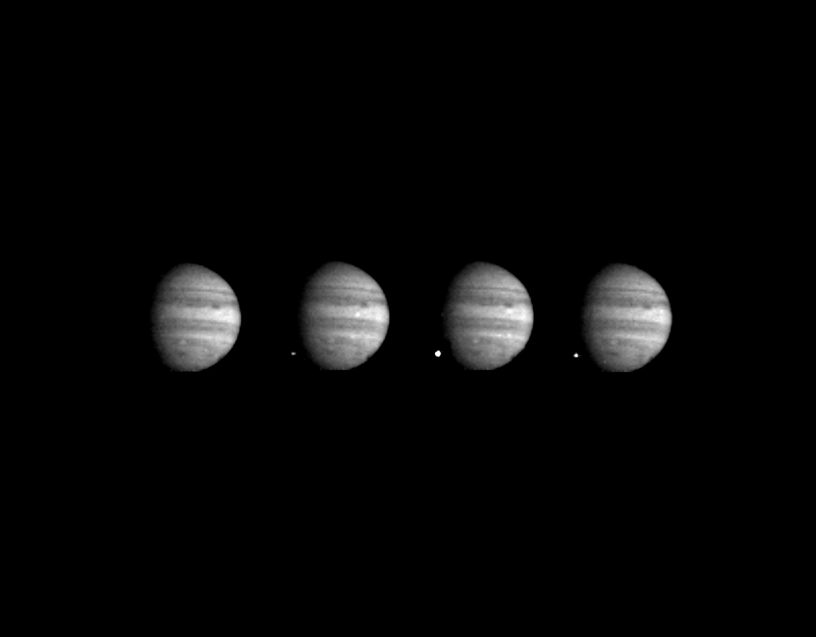
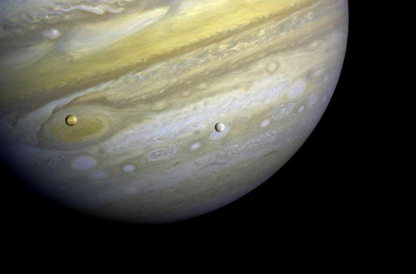
1996-01-29 | Jupiter |
Voyager |
2000x536x3 | |
|
|||||
|
|
1996-01-29 | Jupiter |
Voyager |
VG Imaging Science Subsystem |
940x886x3 |
|
|||||
|
|
1996-01-29 | Jupiter |
Voyager |
760x876x3 | |
|
|||||
|
|
1996-01-29 | Jupiter |
Voyager |
Imaging Science Subsystem |
896x928x3 |
|
|||||
|
|
1996-01-29 | Jupiter |
Voyager |
908x880x3 | |

|
|||||
|
|
1996-01-29 | Jupiter |
Voyager |
908x880x3 | |

|
|||||
|
|
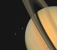
1996-01-29 | Saturn |
Voyager |
971x855x3 | |
|
|||||
|
|
1996-01-29 | Saturn |
Voyager |
400x300x3 | |
|
|||||
|
|
1996-01-29 | Saturn |
Voyager |
770x910x3 | |
|
|||||
|
|
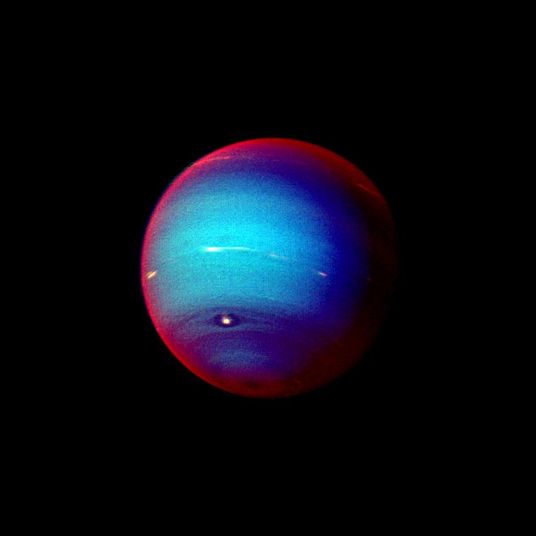
1996-01-29 | Neptune |
Voyager |
VG ISS - Narrow Angle |
400x970x1 |
|
|
|||||
|
|
1996-01-29 | Neptune |
Voyager |
430x465x1 | |
|
|||||
|
|
1996-01-29 | Neptune |
Voyager |
330x330x1 | |
|
|||||
|
|
1996-01-29 | Neptune |
Voyager |
600x800x1 | |
|
|||||
|
|
1996-01-29 | Neptune |
Voyager |
VG ISS - Narrow Angle |
934x722x1 |
|
|||||
|
|
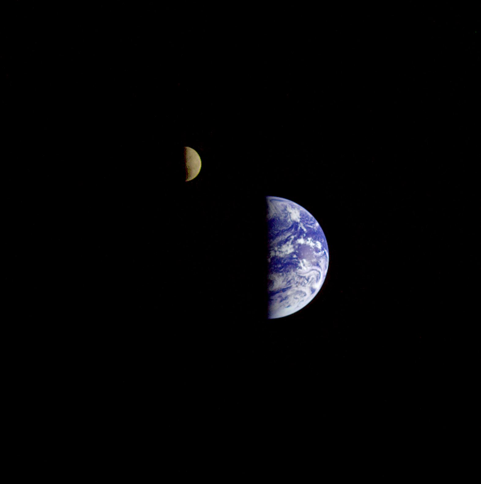
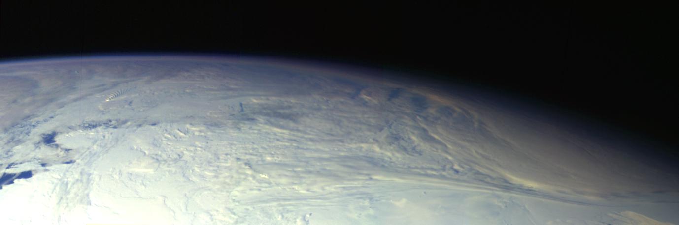
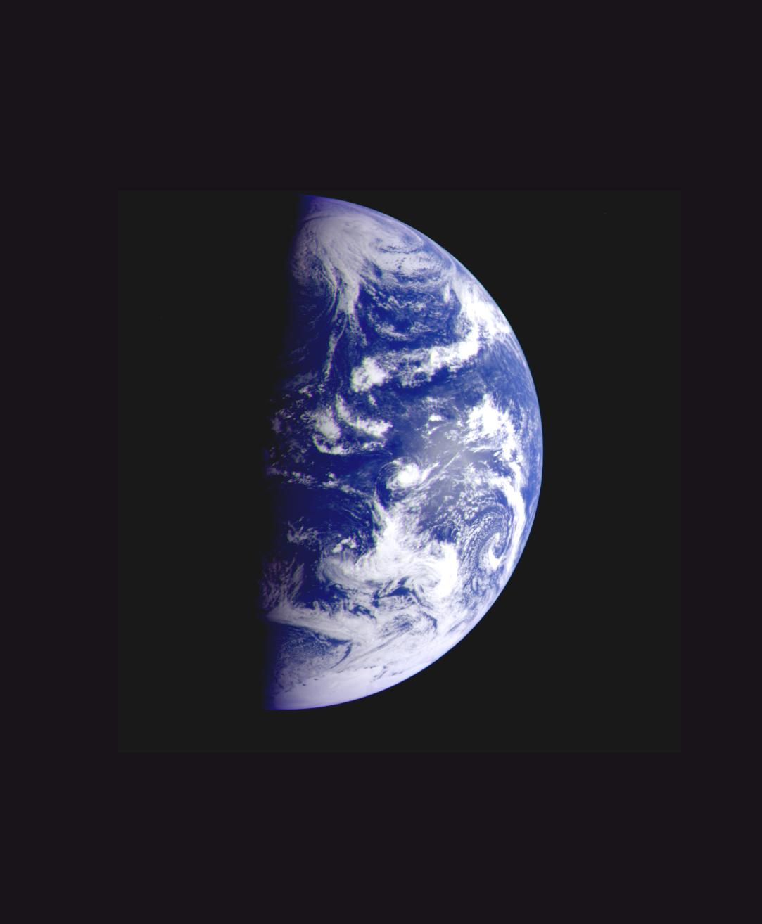
1996-01-29 | Earth |
Galileo |
Solid-State Imaging |
427x754x3 |
|
|||||
|
|
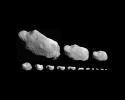
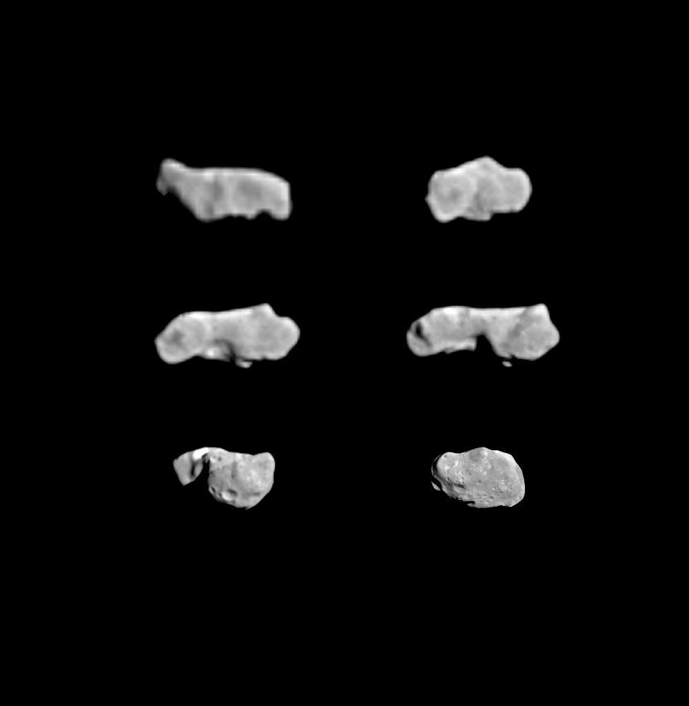
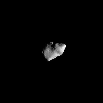
1996-01-29 | Gaspra |
Galileo |
Solid-State Imaging |
1000x1000x1 |

|
|||||
|
|
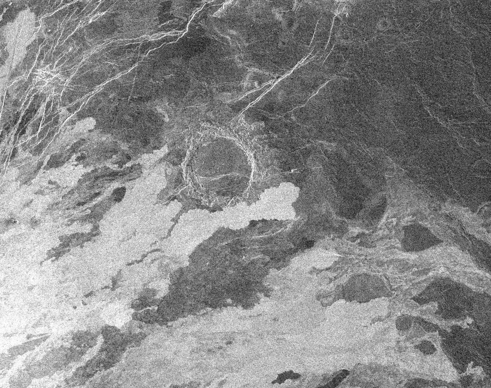
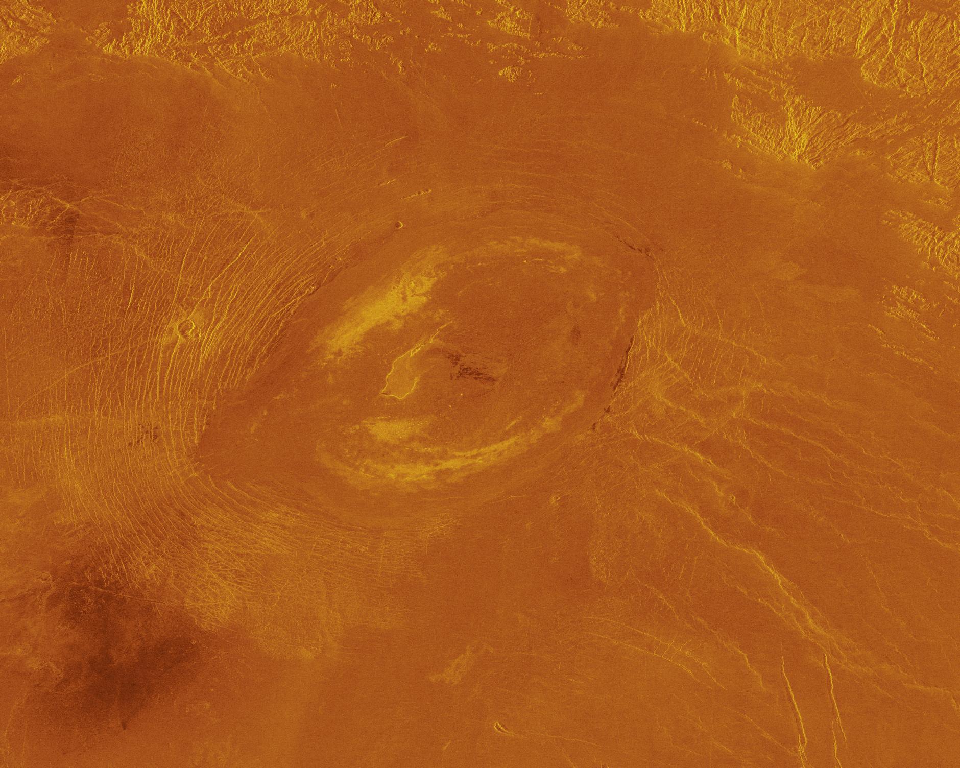
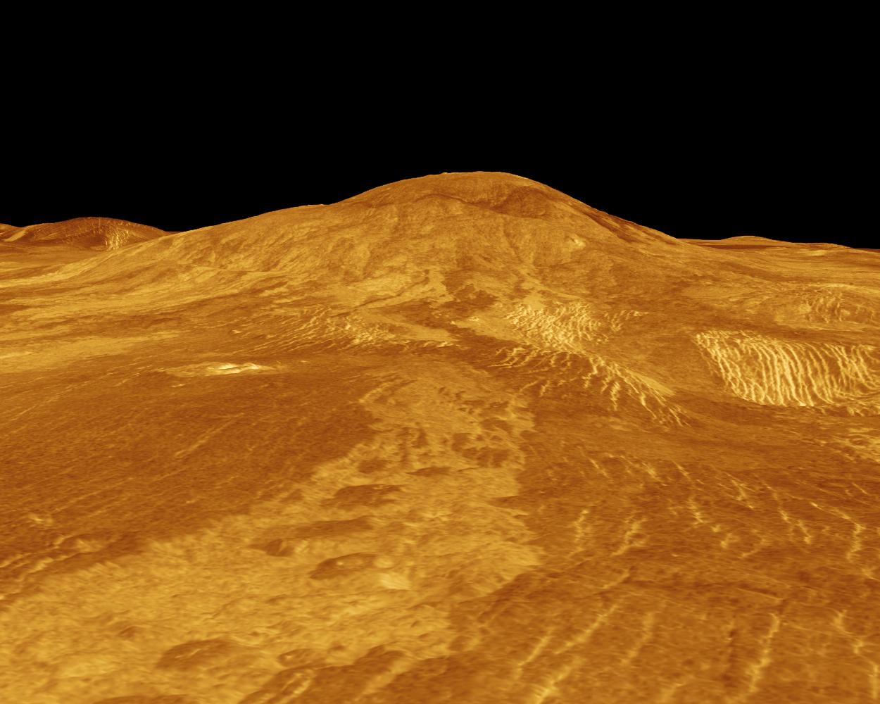
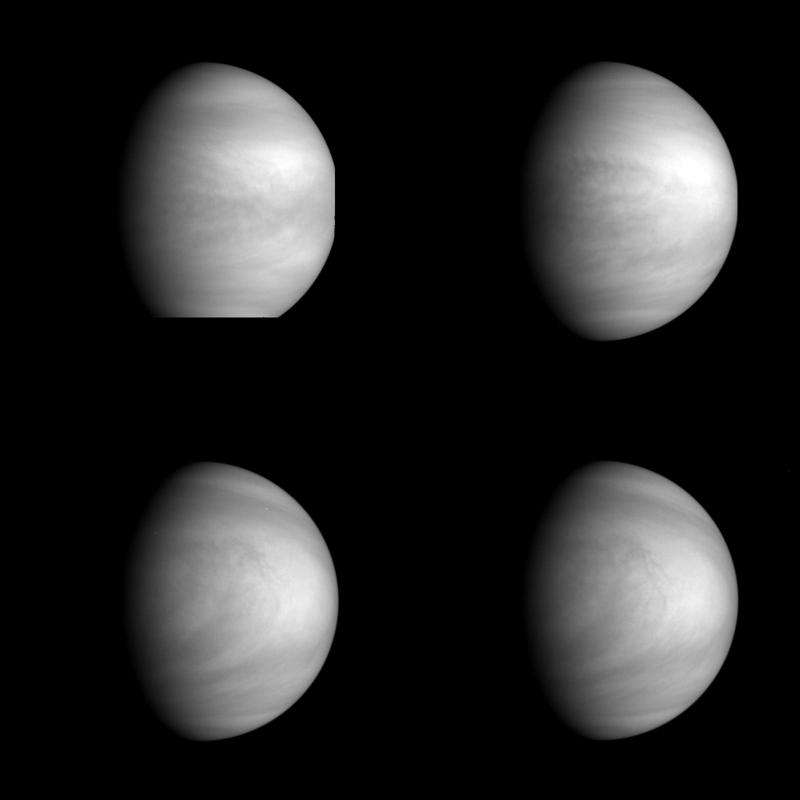
1996-01-29 | Venus |
Magellan |
Imaging Radar |
1024x845x1 |
|
|||||
|
|
1996-01-29 | Ida |
Galileo |
Solid-State Imaging |
860x550x1 |

|
|||||
|
|
1996-01-29 | Saturn |
Voyager |
VG Imaging Science Subsystem |
1000x1000x3 |
|
|||||
|
|
1996-01-29 | Neptune |
Voyager |
VG ISS - Narrow Angle |
1000x1000x3 |

|
|||||
|
|
1996-01-29 | Neptune |
Voyager |
VG ISS - Narrow Angle |
1200x1297x3 |
|
|||||
|
|
1996-01-29 | Neptune |
Voyager |
VG ISS - Narrow Angle |
884x698x3 |
|
|||||
|
|
1996-01-29 | Neptune |
Voyager |
VG ISS - Wide Angle |
650x650x3 |
|
|||||
|
|
1996-01-29 | Neptune |
Voyager |
780x780x3 | |
|
|||||
|
|
1996-01-29 | Neptune |
Voyager |
682x596x3 | |
|
|||||
|
|
1996-01-29 | Neptune |
Voyager |
VG ISS - Wide Angle |
844x732x3 |
|
|||||
|
|
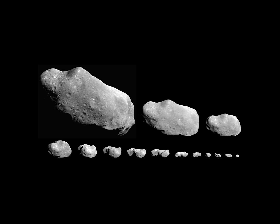
1996-01-29 | Ida |
Galileo |
Solid-State Imaging |
905x655x3 |
|
|||||
|
|
1996-01-29 | Venus |
Galileo |
Solid-State Imaging |
780x885x3 |
|
|||||
|
|
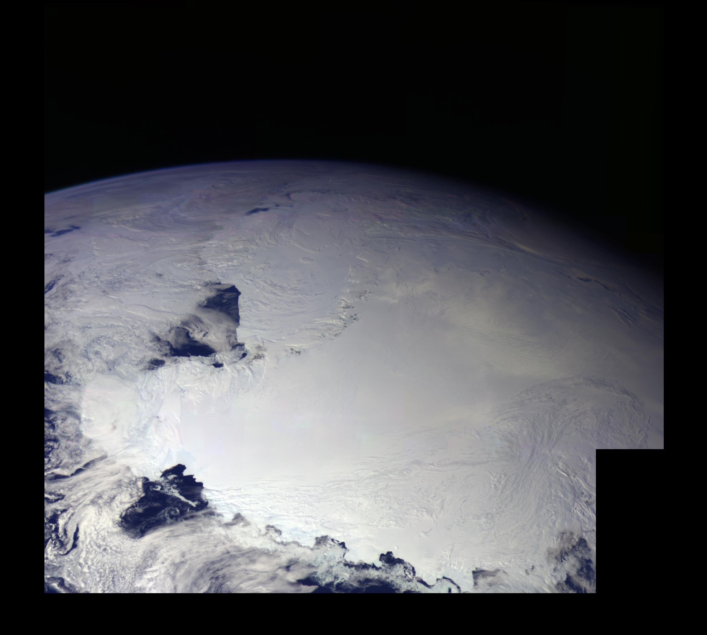
1996-01-29 | Earth |
Galileo |
Solid-State Imaging |
800x800x3 |
|
|||||
|
|
1996-01-29 | Gaspra |
Galileo |
Solid-State Imaging |
1200x1050x1 |
|
|||||
|
|
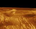
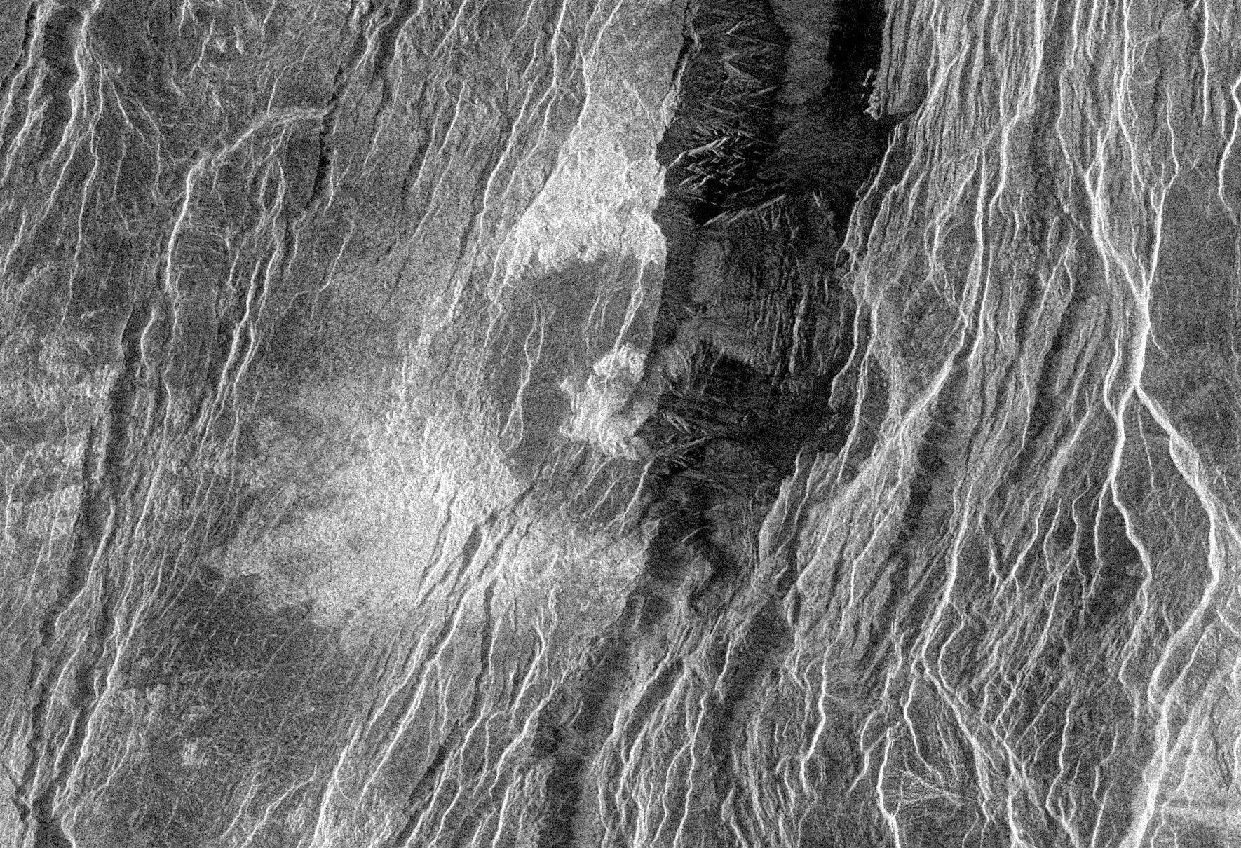
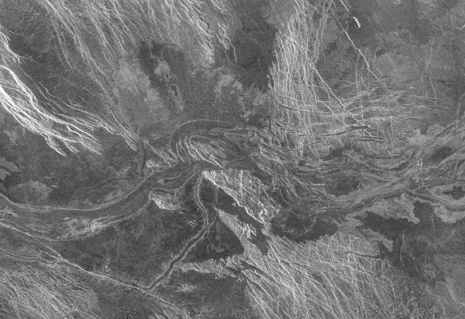
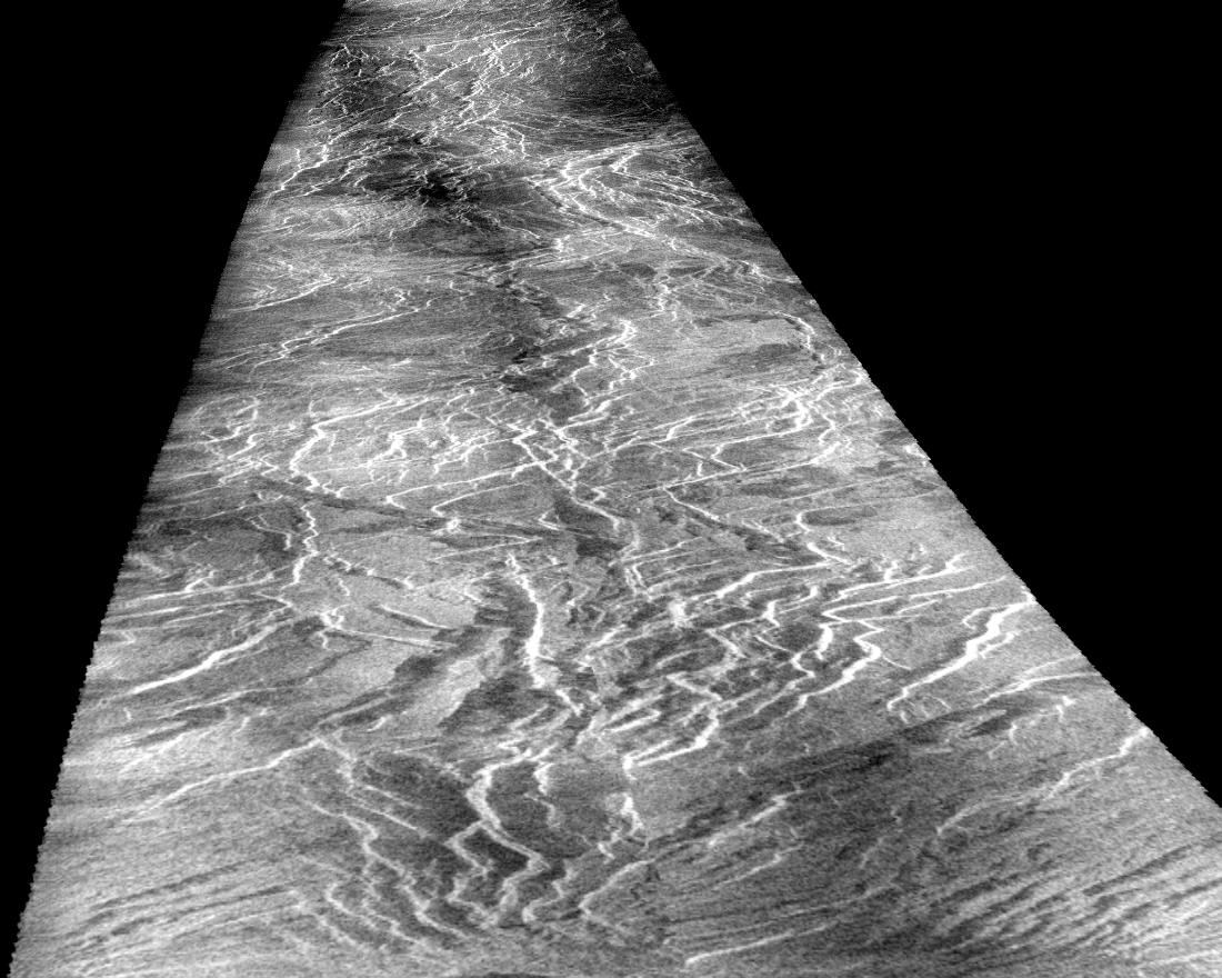
1996-01-29 | Venus |
Magellan |
Imaging Radar |
2048x2048x1 |
|
|||||
|
|
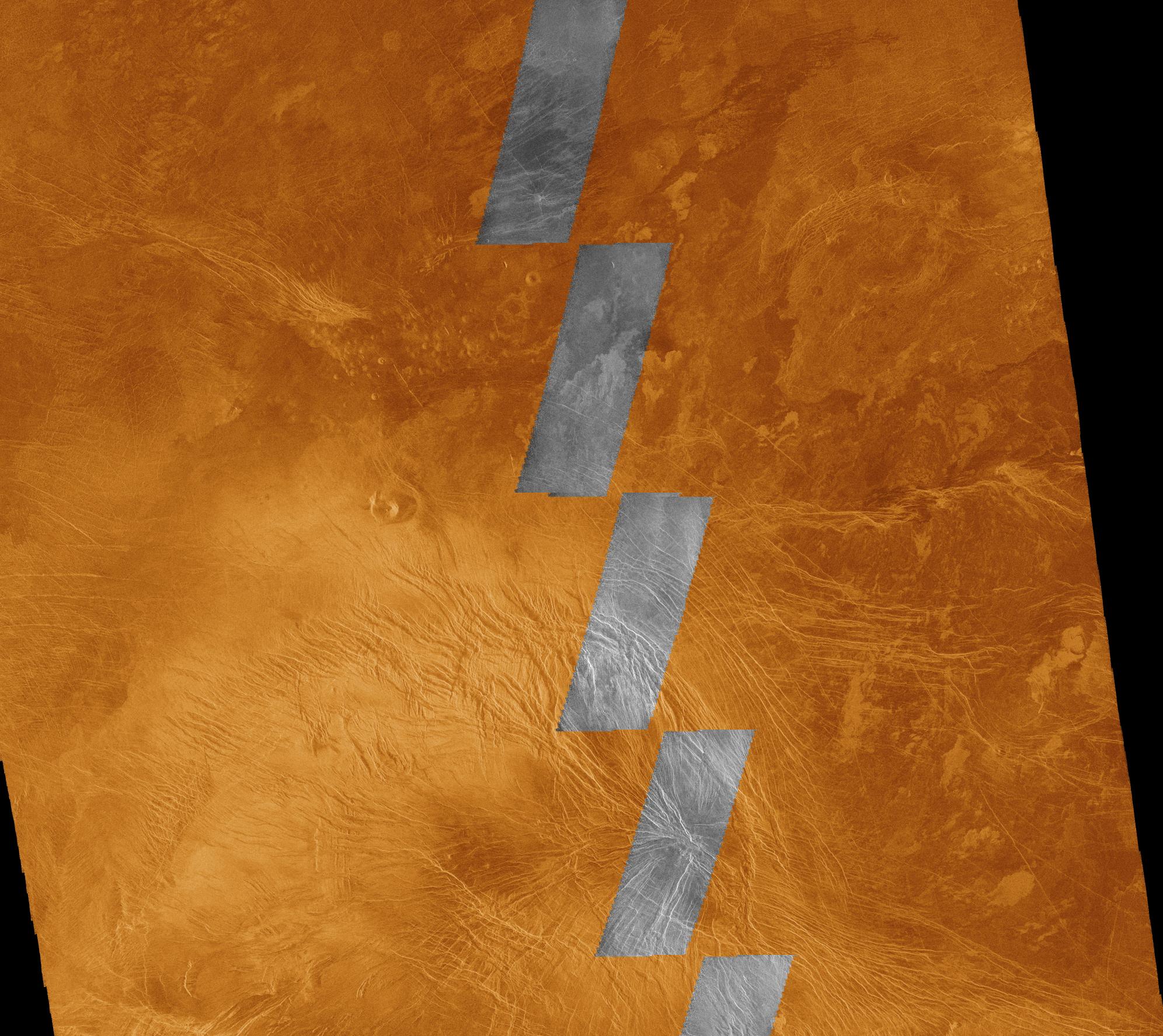
1996-01-29 | Venus |
Magellan |
Imaging Radar |
1637x1433x1 |
|
|||||
|
|
1996-01-29 | Venus |
Magellan |
Imaging Radar |
1896x1500x1 |

|
|||||
|
|
1996-01-29 | Venus |
Magellan |
Imaging Radar |
1770x1210x1 |
|
|||||
|
|
1996-01-29 | Venus |
Galileo |
Solid-State Imaging |
1600x1600x1 |
|
|||||
|
|
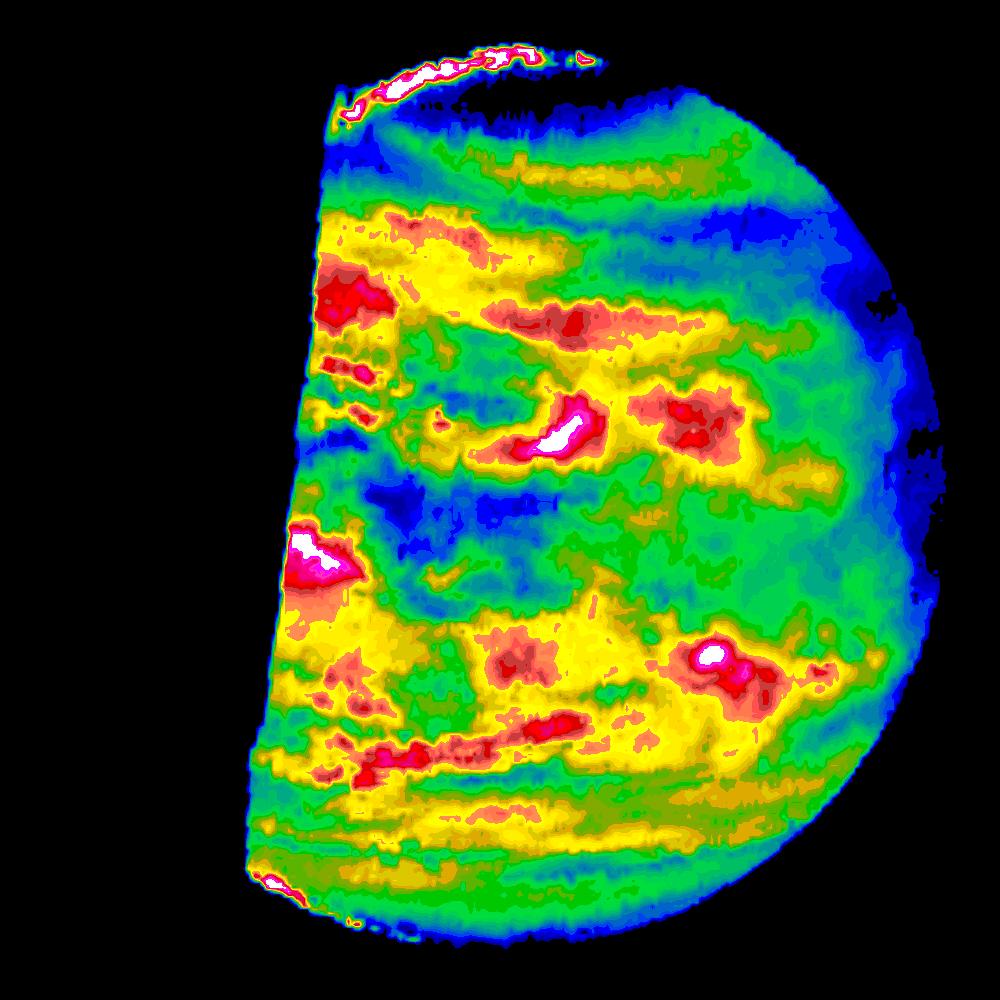
1996-01-29 | Venus |
Galileo |
Near Infrared Mapping Spectrometer |
1000x1000x3 |
|
|||||
|
|
1996-01-29 | Earth |
Galileo |
Solid-State Imaging |
800x800x3 |

|
|||||
|
|
1996-01-29 | Earth |
Galileo |
Solid-State Imaging |
800x800x3 |

|
|||||
|
|
1996-01-29 | Venus |
Galileo |
Near Infrared Mapping Spectrometer |
1001x1000x3 |

|
|||||
|
|
1996-01-29 | Earth |
Galileo |
Solid-State Imaging |
987x987x3 |
|
|||||
|
|
1996-01-29 | Earth |
Galileo |
Solid-State Imaging |
1572x1580x3 |
|
|||||
|
|
1996-01-29 | Ida |
Galileo |
Solid-State Imaging |
1000x1024x1 |

|
|||||
|
|
1996-01-29 | Jupiter |
Galileo |
Solid-State Imaging |
1600x1250x1 |
|
|||||
|
|
1996-01-29 | Uranus |
Voyager |
VG ISS - Wide Angle |
794x960x3 |
|
|||||
|
|
1996-01-29 | Jupiter |
Voyager |
VG ISS - Narrow Angle |
820x540x3 |

|
|||||
|
|
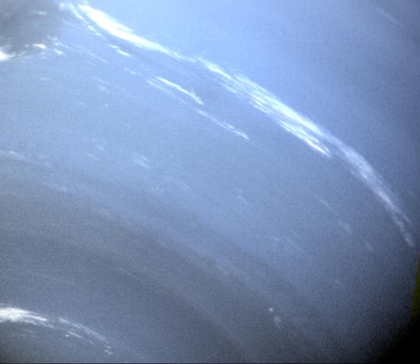
1996-02-01 | Jupiter |
Voyager |
VG ISS - Narrow Angle |
895x848x3 |
|
|||||
|
|
1996-02-01 | Venus |
Magellan |
Imaging Radar |
1880x1504x3 |
|
|||||
|
|
1996-02-01 | Venus |
Magellan |
Imaging Radar |
910x625x1 |

|
|||||
|
|
1996-02-01 | Venus |
Magellan |
Imaging Radar |
1992x1775x3 |
|
|||||
|
|
1996-02-01 | Venus |
Magellan |
Imaging Radar |
1024x1024x1 |

|
|||||
|
|
1996-02-01 | Venus |
Magellan |
Imaging Radar |
1500x1500x1 |
|
|||||
|
|
1996-02-01 | Venus |
Magellan |
Imaging Radar |
2782x2666x1 |
|
|||||
|
|
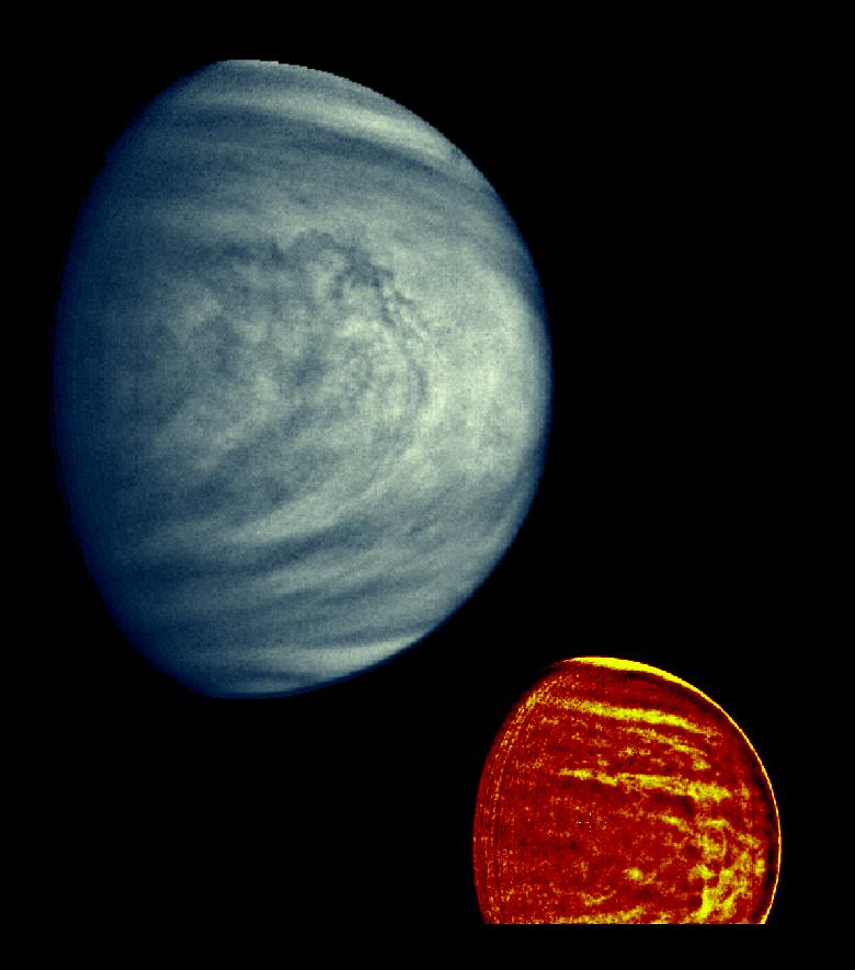
1996-02-01 | Venus |
Galileo |
Solid-State Imaging |
500x500x3 |
|
|||||
|
|
1996-02-01 | Venus |
Galileo |
Solid-State Imaging |
1800x1800x1 |

|
|||||
|
|
1996-02-01 | Venus |
Galileo |
Solid-State Imaging |
800x800x3 |
|
|||||
|
|
1996-02-01 | Earth |
Galileo |
Solid-State Imaging |
1378x458x3 |
|
|||||
|
|
1996-02-01 | Gaspra |
Galileo |
Solid-State Imaging |
1024x1024x1 |

|
|||||
|
|
1996-02-01 | Ida |
Galileo |
Solid-State Imaging |
1700x1260x1 |
|
|||||
|
|
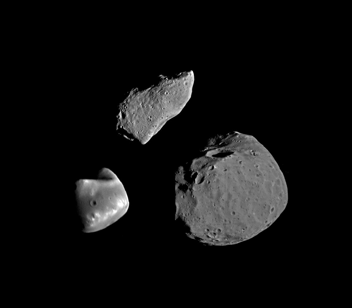
1996-02-01 | Asteroid |
Galileo |
Solid-State Imaging |
1100x880x1 |
|
|||||
|
|
1996-02-02 | Venus |
Magellan |
Imaging Radar |
8192x7168x1 |
|
|||||
|
|
1996-02-02 | Venus |
Magellan |
Imaging Radar |
1250x1000x3 |

|
|||||
|
|
1996-02-02 | Venus |
Magellan |
Imaging Radar |
1250x1000x3 |
|
|||||
|
|
1996-02-05 | Venus |
Magellan |
Imaging Radar |
5120x4600x1 |
|
|||||
|
|
1996-02-05 | Venus |
Magellan |
Imaging Radar |
3842x3021x1 |
|
|||||
|
|
1996-02-05 | Venus |
Magellan |
Imaging Radar |
3072x3072x3 |
|
|||||
|
|
1996-02-05 | Venus |
Magellan |
Imaging Radar |
1024x1024x1 |
|
|||||
|
|
1996-02-05 | Venus |
Magellan |
Imaging Radar |
1024x1024x1 |
|
|||||
|
|
1996-02-05 | Venus |
Magellan |
Imaging Radar |
2538x2148x1 |
|
|||||
|
|
1996-02-05 | Venus |
Magellan |
Imaging Radar |
2000x2000x1 |
|
|||||
|
|
1996-02-05 | Venus |
Magellan |
Imaging Radar |
1024x1024x1 |
|
|||||
|
|
1996-02-05 | Venus |
Magellan |
Imaging Radar |
1024x1250x1 |
|
|||||
|
|
1996-02-05 | Venus |
Magellan |
Imaging Radar |
1024x1024x1 |

|
|||||
|
|
1996-02-07 | Venus |
Magellan |
Imaging Radar |
3584x3584x3 |
|
|||||
|
|
1996-02-07 | Venus |
Magellan |
Imaging Radar |
8192x7168x1 |
|
|||||
|
|
1996-02-07 | Venus |
Magellan |
Imaging Radar |
4145x3170x1 |

|
|||||
|
|
1996-02-07 | Venus |
Magellan |
Imaging Radar |
2857x5000x1 |
|
|||||
|
|
1996-02-07 | Venus |
Magellan |
Imaging Radar |
3304x2114x1 |
|
|||||
|
|
1996-02-08 | Earth |
Galileo |
Solid-State Imaging |
800x800x3 |
|
|||||
|
|
1996-02-08 | Venus |
Galileo |
Near Infrared Mapping Spectrometer |
600x310x1 |
|
|||||
|
|
1996-02-08 | Venus |
Galileo |
Near Infrared Mapping Spectrometer |
810x500x1 |
|
|||||
|
|
1996-02-08 | Venus |
Galileo |
Solid-State Imaging |
1600x1600x1 |

|
|||||
|
|
1996-02-08 | Earth |
Galileo |
Solid-State Imaging |
650x650x1 |
|
|||||
|
|
1996-02-08 | Earth |
Galileo |
Near Infrared Mapping Spectrometer |
460x328x3 |
|
|||||
|
|
1996-02-08 | Venus |
Magellan |
Imaging Radar |
1250x1000x3 |
|
|||||
|
|
1996-02-08 | Venus |
Magellan |
Imaging Radar |
1250x1000x3 |
|
|||||
|
|
1996-02-08 | Gaspra |
Galileo |
Solid-State Imaging |
400x400x1 |

|
|||||
|
|
1996-02-08 | Gaspra |
Galileo |
Solid-State Imaging |
810x855x1 |
|
|||||
|
|
1996-02-08 | Earth |
Galileo |
Solid-State Imaging |
888x894x1 |
|
|||||
|
|
1996-02-08 | Earth |
Galileo |
Solid-State Imaging |
1083x1314x3 |
|
|||||
|
|
1996-02-09 | Earth |
Galileo |
Solid-State Imaging |
2450x2200x3 |
|
|||||
|
|
1996-02-09 | Gaspra |
Galileo |
Solid-State Imaging |
2200x1760x3 |
|
|||||
|
|
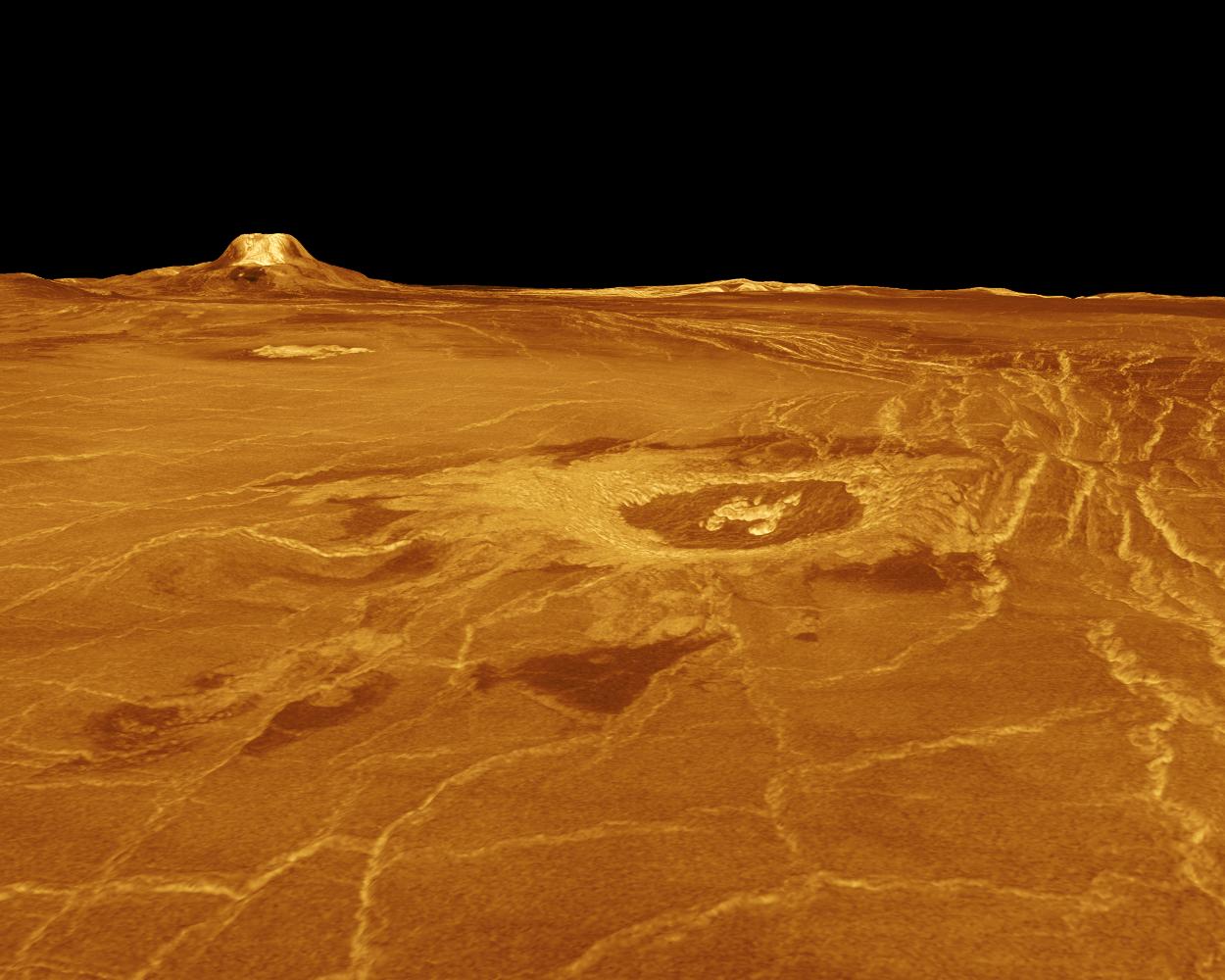
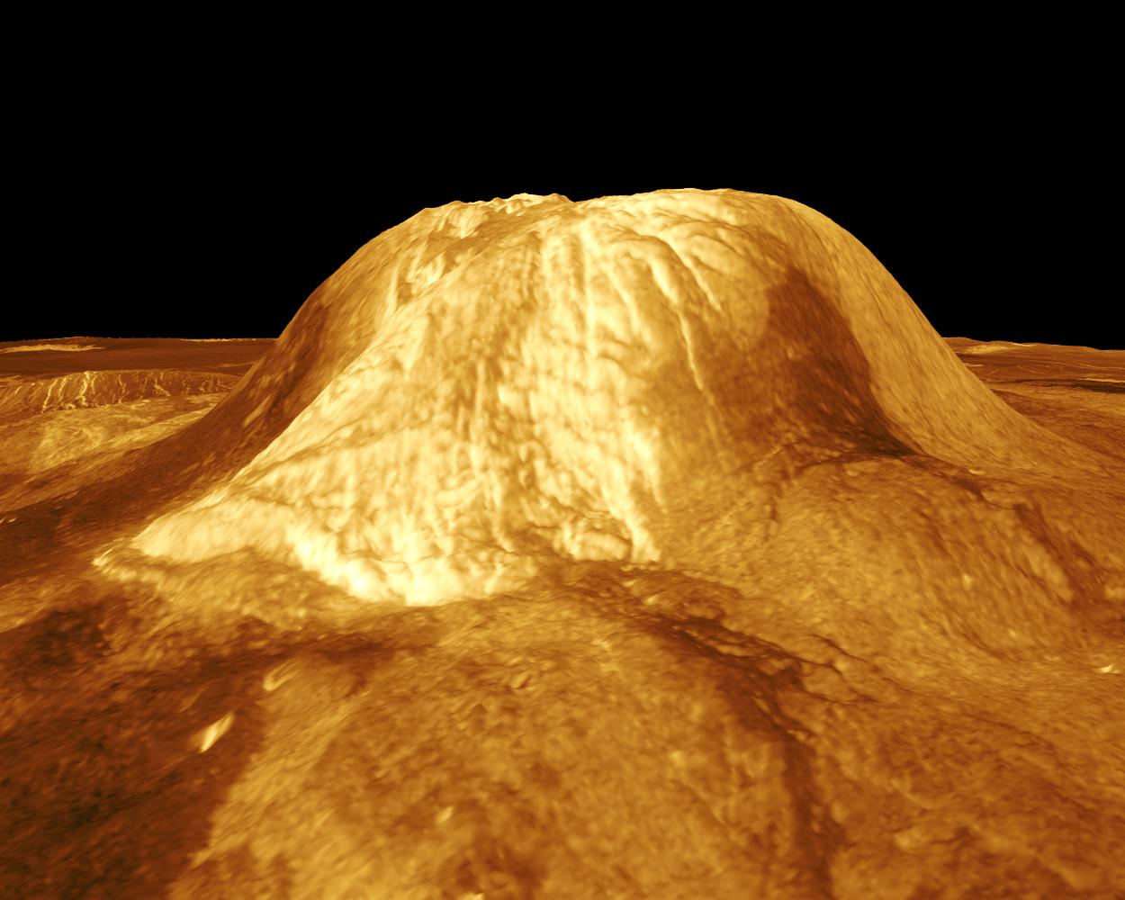
1996-03-07 | Venus |
Magellan |
Imaging Radar |
825x1023x1 |
|
|||||
|
|
1996-03-07 | Venus |
Magellan |
Imaging Radar |
1100x880x1 |
|
|||||
|
|
1996-03-07 | Venus |
Magellan |
Imaging Radar |
1024x1024x1 |
|
|||||
|
|
1996-03-07 | Venus |
Magellan |
Imaging Radar |
8192x7168x1 |

|
|||||
|
|
1996-03-07 | Venus |
Magellan |
Imaging Radar |
2048x2048x1 |

|
|||||
|
|
1996-03-07 | Venus |
Magellan |
Imaging Radar |
3633x3633x1 |

|
|||||
 |
 |
|
|
|
|
|
|
|
|

|
|
| 1-100 | 101-200 | 201-300 | 301-400 | 401-500 | 501-600 | 601-700 | 701-800 | 801-900 | 901-1000 |
| Currently displaying images: 1 - 100 of 19629 |