|
Your search criteria found 19741 images Target is Sun |
| My List |
Addition Date
|
Target | Mission | Instrument | Size |

|
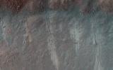
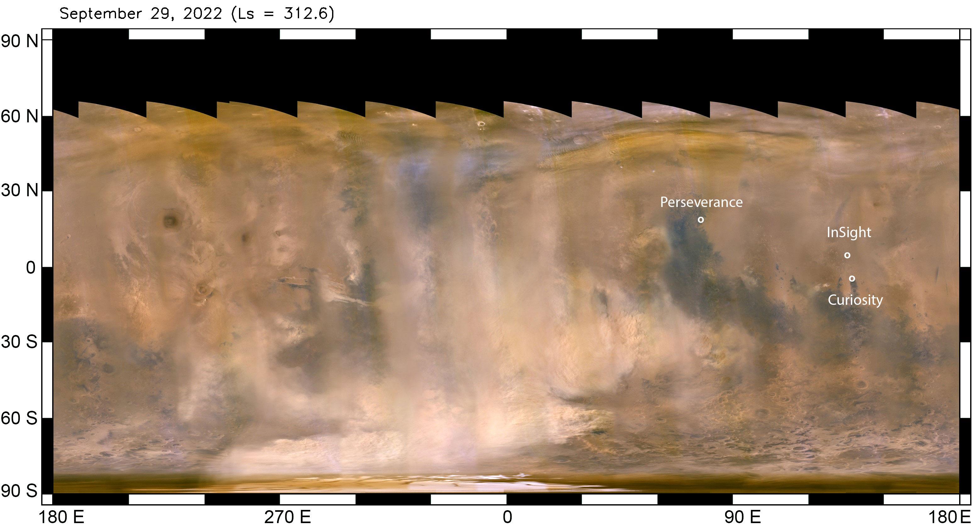
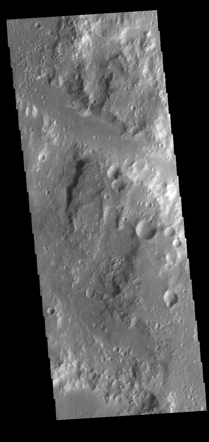
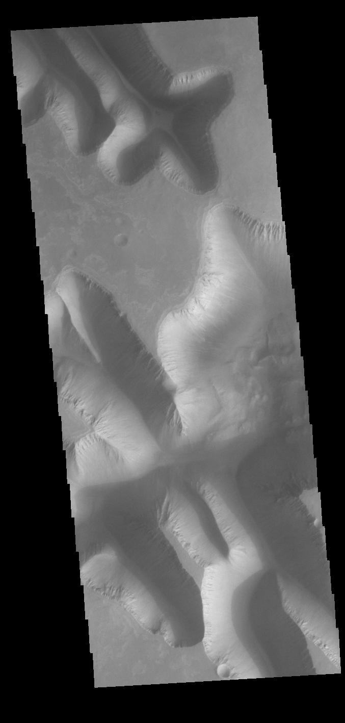
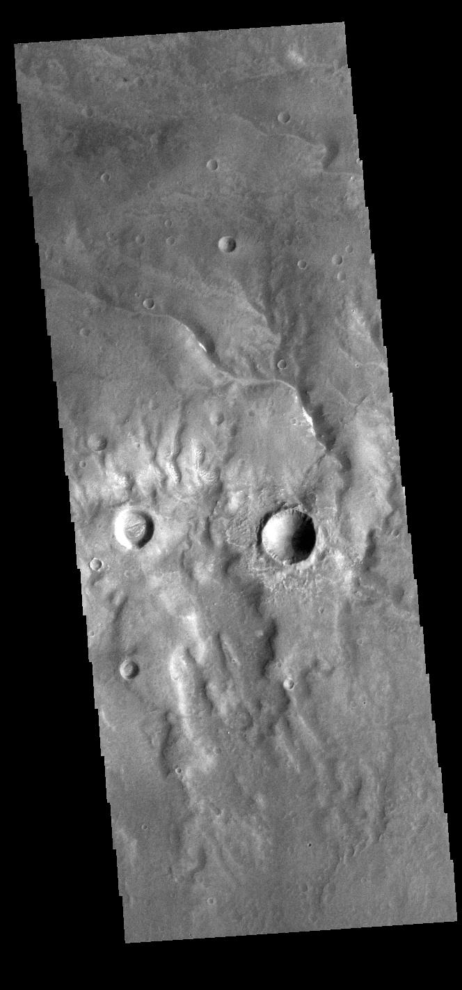
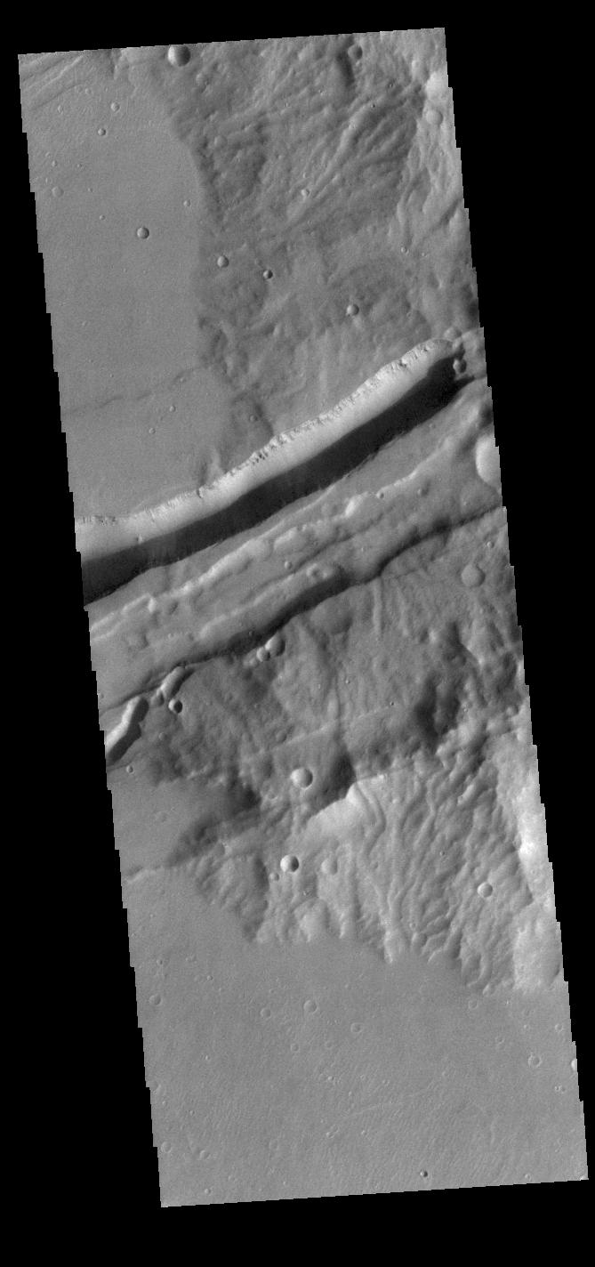
2022-10-24 | Mars |
2001 Mars Odyssey |
THEMIS |
666x1432x1 |
|
|
|||||
|
|
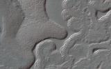
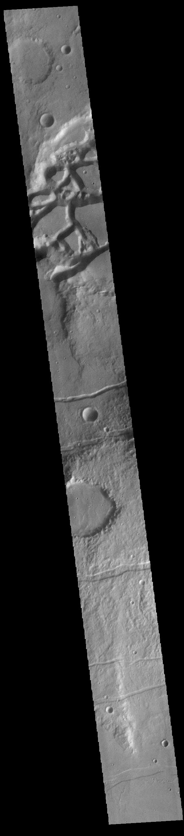
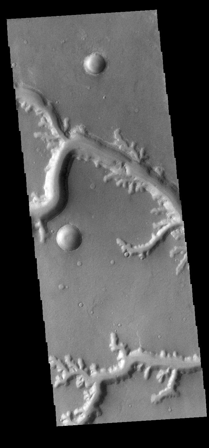
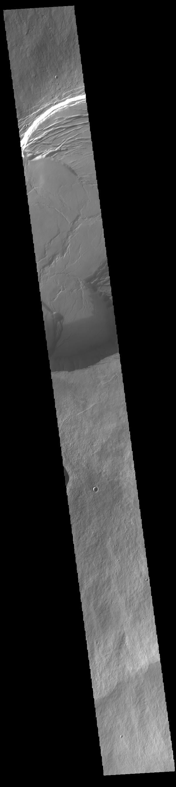
2022-10-21 | Mars |
2001 Mars Odyssey |
THEMIS |
664x1434x1 |
|
|
|||||
|
|
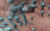
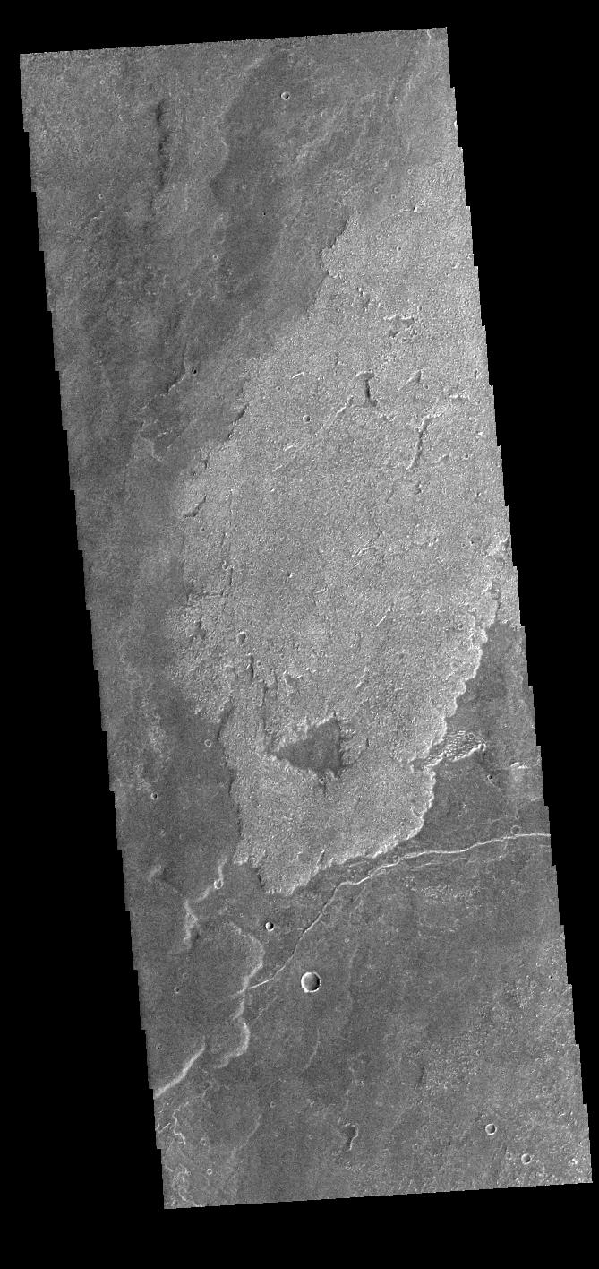
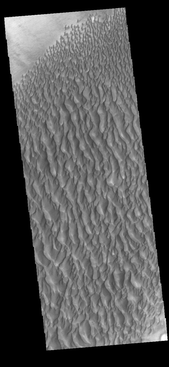
2022-10-20 | Mars |
2001 Mars Odyssey |
THEMIS |
672x1425x1 |
|
|
|||||
|
|
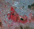
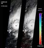
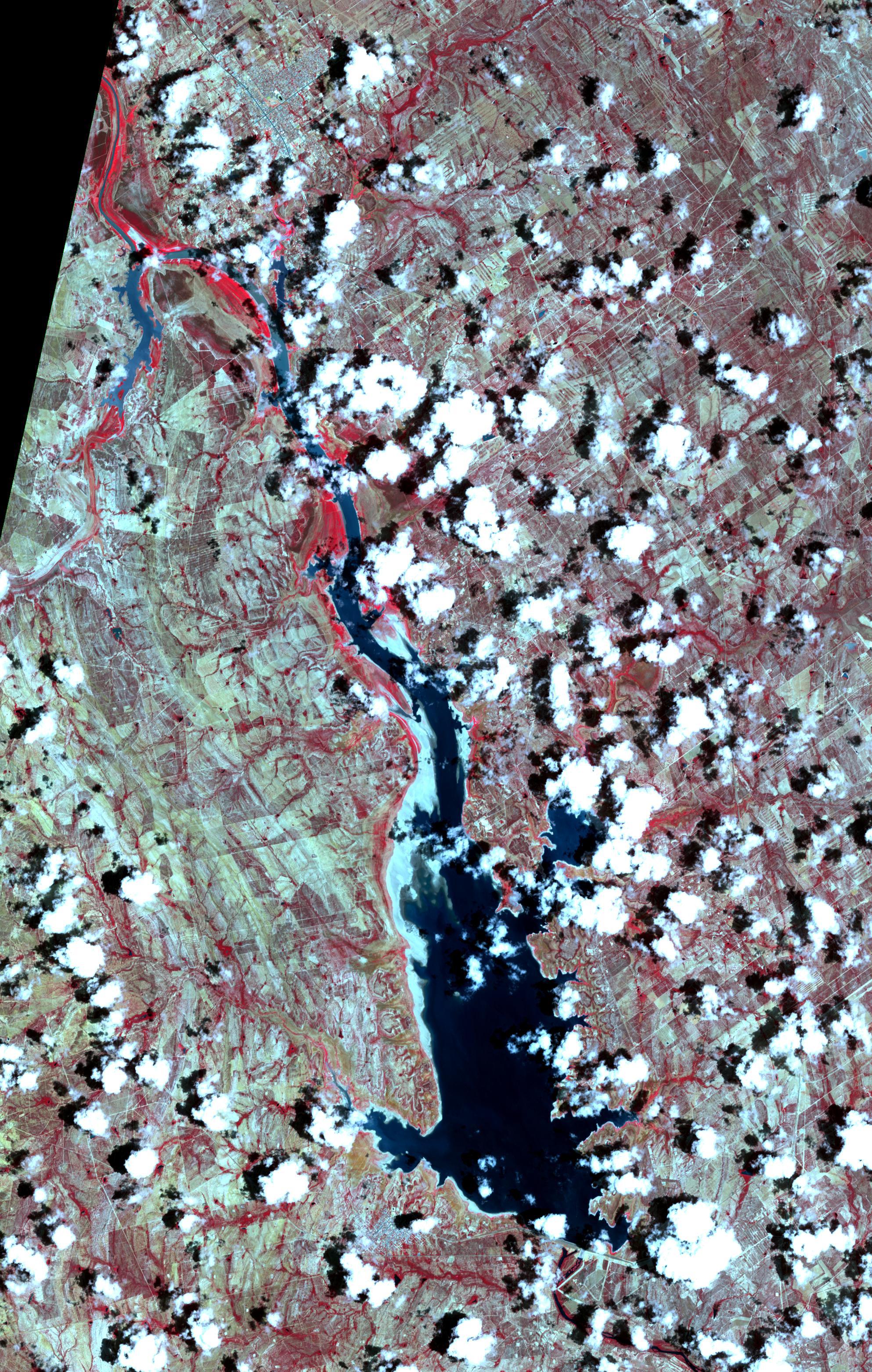
2022-10-19 | Earth |
Terra |
ASTER |
898x768x3 |
|
|||||
|
|
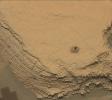
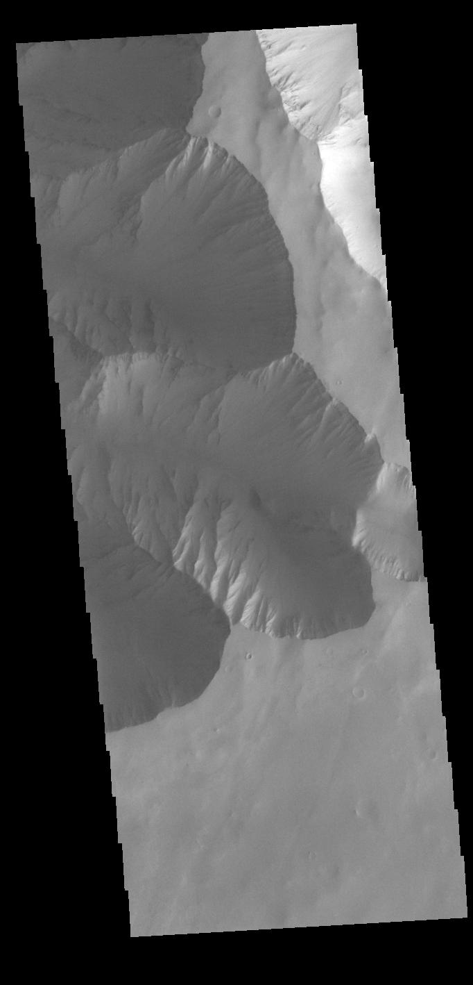
2022-10-19 | Mars |
Mars Science Laboratory (MSL) |
Mastcam |
1328x1184x3 |
|
|||||
|
|
2022-10-19 | Mars |
Mars Science Laboratory (MSL) |
Navigation Camera (M2020) |
7696x2165x1 |

|
|||||
|
|
2022-10-19 | Mars |
Mars Science Laboratory (MSL) |
MAHLI |
3600x2700x3 |
|
|||||
|
|
2022-10-19 | Mars |
Mars Science Laboratory (MSL) |
Mastcam |
2073x1226x3 |
|
|||||
|
|
2022-10-19 | Mars |
Mars Science Laboratory (MSL) |
Mastcam |
8323x4225x3 |
|
|||||
|
|
2022-10-19 | Mars |
Mars Science Laboratory (MSL) |
Mastcam |
29163x8638x3 |
|
|||||
|
|
2022-10-19 | Mars |
2001 Mars Odyssey |
THEMIS |
667x1427x1 |
|
|
|||||
|
|
2022-10-18 | Mars |
2001 Mars Odyssey |
THEMIS |
658x1423x1 |
|
|
|||||
|
|
2022-10-17 | Mars |
2001 Mars Odyssey |
THEMIS |
662x1434x1 |
|
|
|||||
|
|
2022-10-14 | Mars |
2001 Mars Odyssey |
THEMIS |
666x1429x1 |
|
|
|||||
|
|
2022-10-13 | Mars |
2001 Mars Odyssey |
THEMIS |
604x2737x1 |
|
|
|||||
|
|
2022-10-12 | Mars |
Mars Sample Return (MSR) |
1050x591x3 | |

|
|||||
|
|
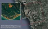
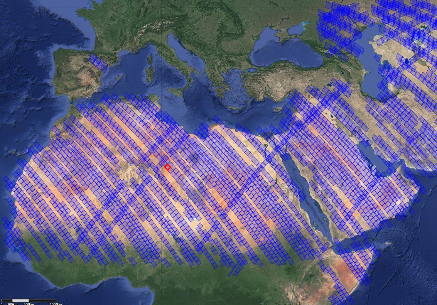
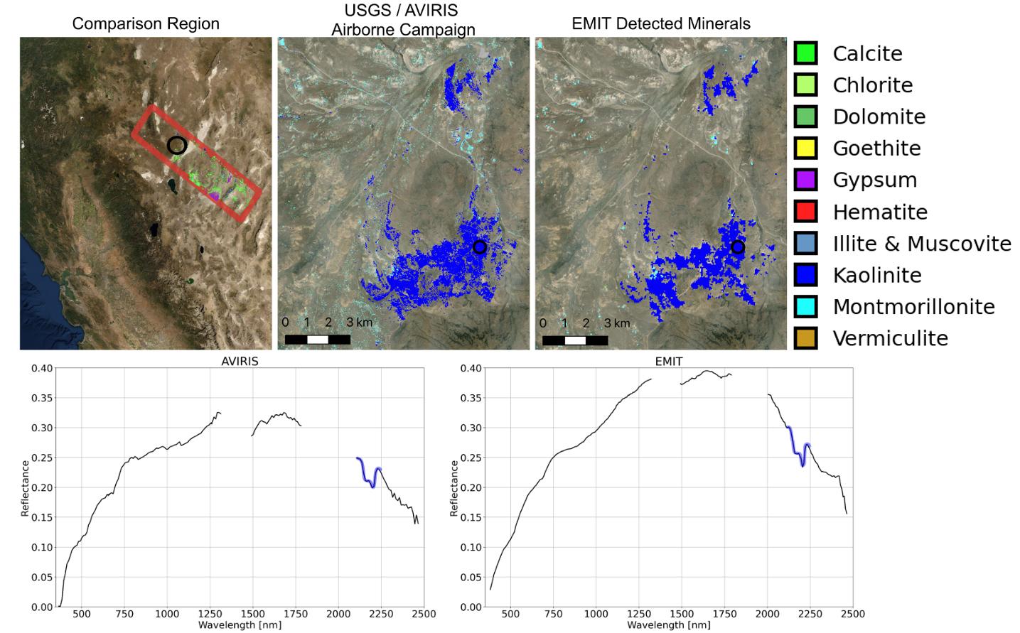
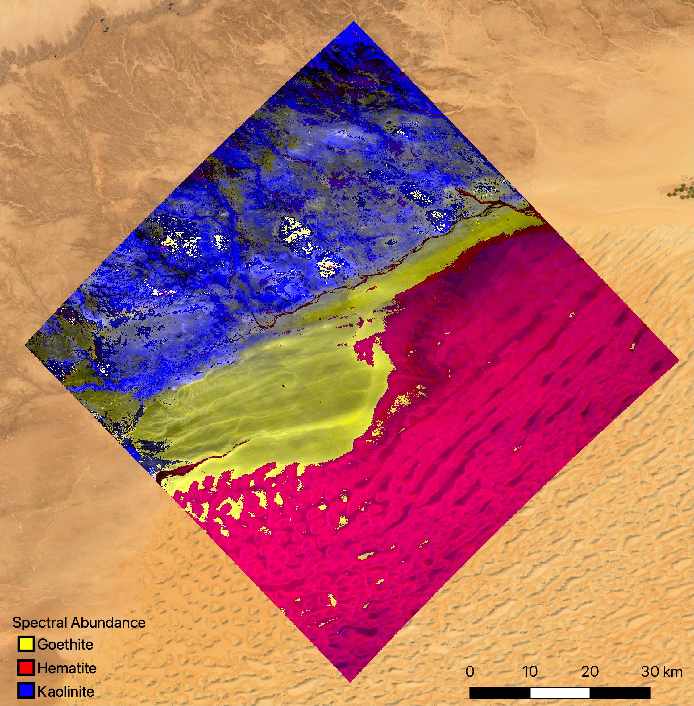
2022-10-12 | Earth |
Earth Surface Mineral Dust Source Investigation (EMIT) |
EMIT |
2457x2370x3 |
|
|||||
|
|
2022-10-12 | Earth |
Earth Surface Mineral Dust Source Investigation (EMIT) |
EMIT |
1489x1039x3 |

|
|||||
|
|
2022-10-12 | Earth |
Earth Surface Mineral Dust Source Investigation (EMIT) |
EMIT |
1435x891x3 |

|
|||||
|
|
2022-10-12 | Earth |
Earth Surface Mineral Dust Source Investigation (EMIT) |
EMIT |
774x750x3 |
|
|||||
|
|
2022-10-12 | Earth |
Earth Surface Mineral Dust Source Investigation (EMIT) |
EMIT |
2249x2289x3 |

|
|||||
|
|
2022-10-12 | Mars |
2001 Mars Odyssey |
THEMIS |
670x1423x1 |
|
|
|||||
|
|
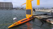
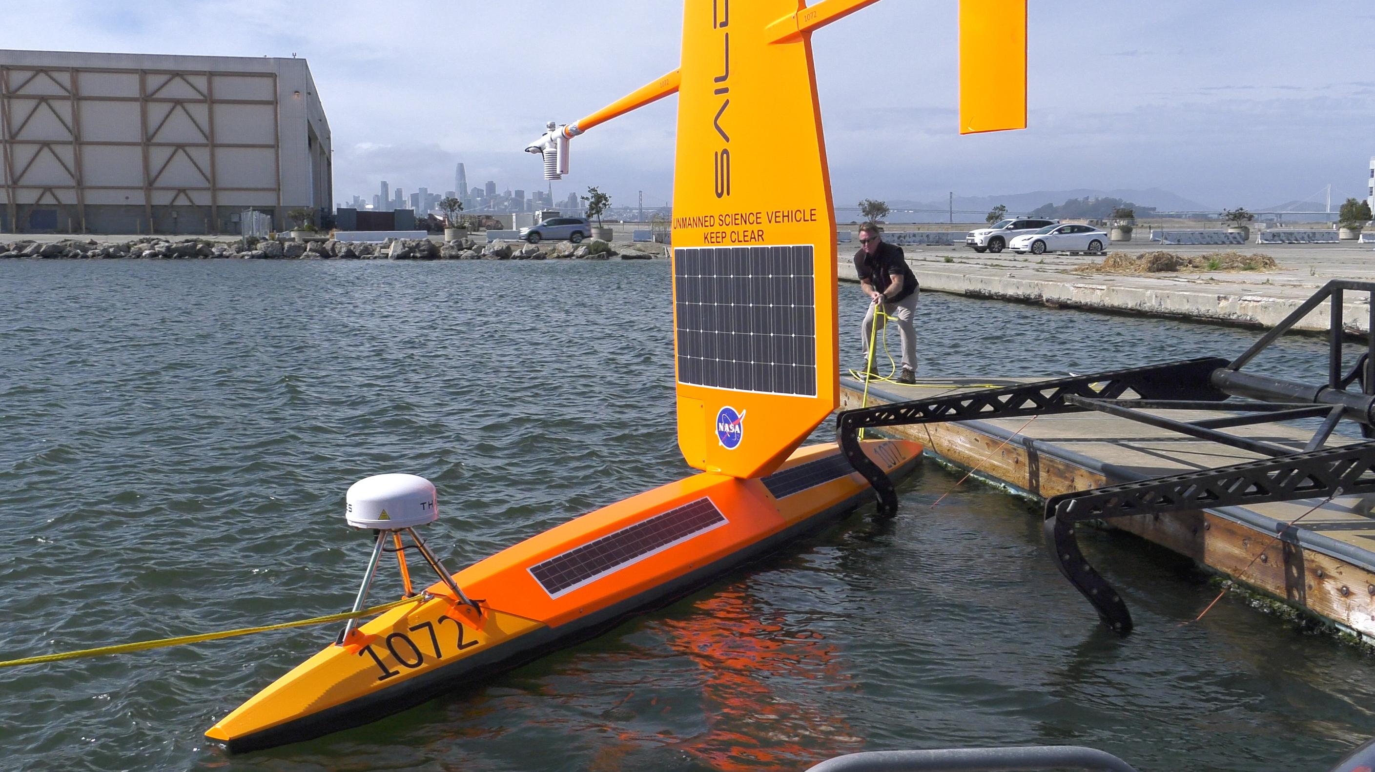
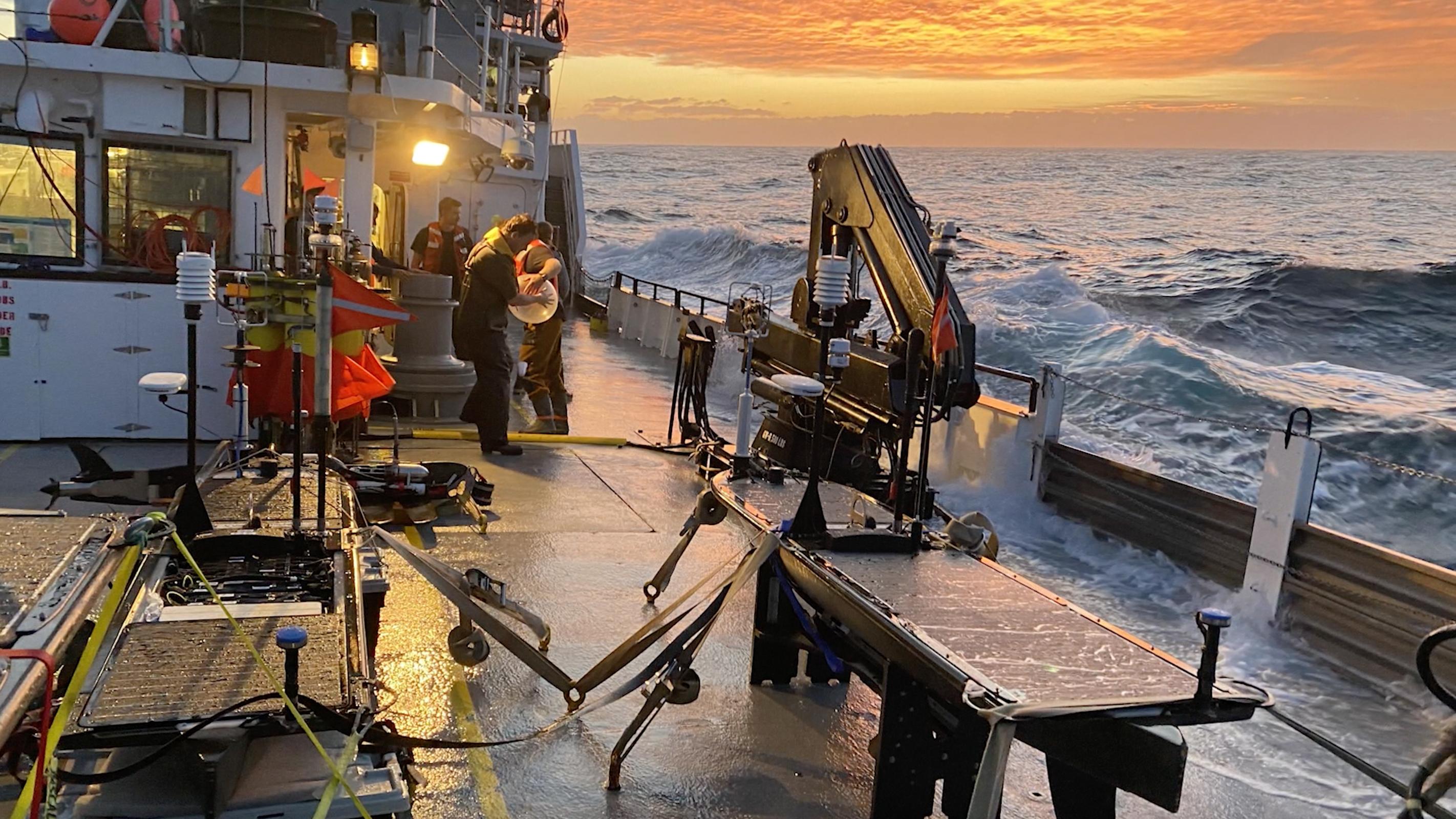
2022-10-11 | Earth |
S-MODE |
4032x3024x3 | |
|
|||||
|
|
2022-10-11 | Earth |
S-MODE |
2817x1582x3 | |
|
|||||
|
|
2022-10-11 | Earth |
S-MODE |
2844x1599x3 | |

|
|||||
|
|
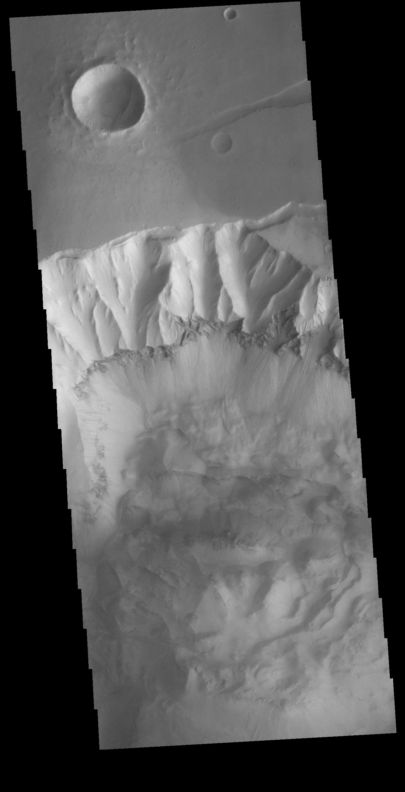
2022-10-11 | Mars |
2001 Mars Odyssey |
THEMIS |
662x1432x1 |
|
|
|||||
|
|
2022-10-10 | Mars |
2001 Mars Odyssey |
THEMIS |
599x2722x1 |
|
|
|||||
|
|
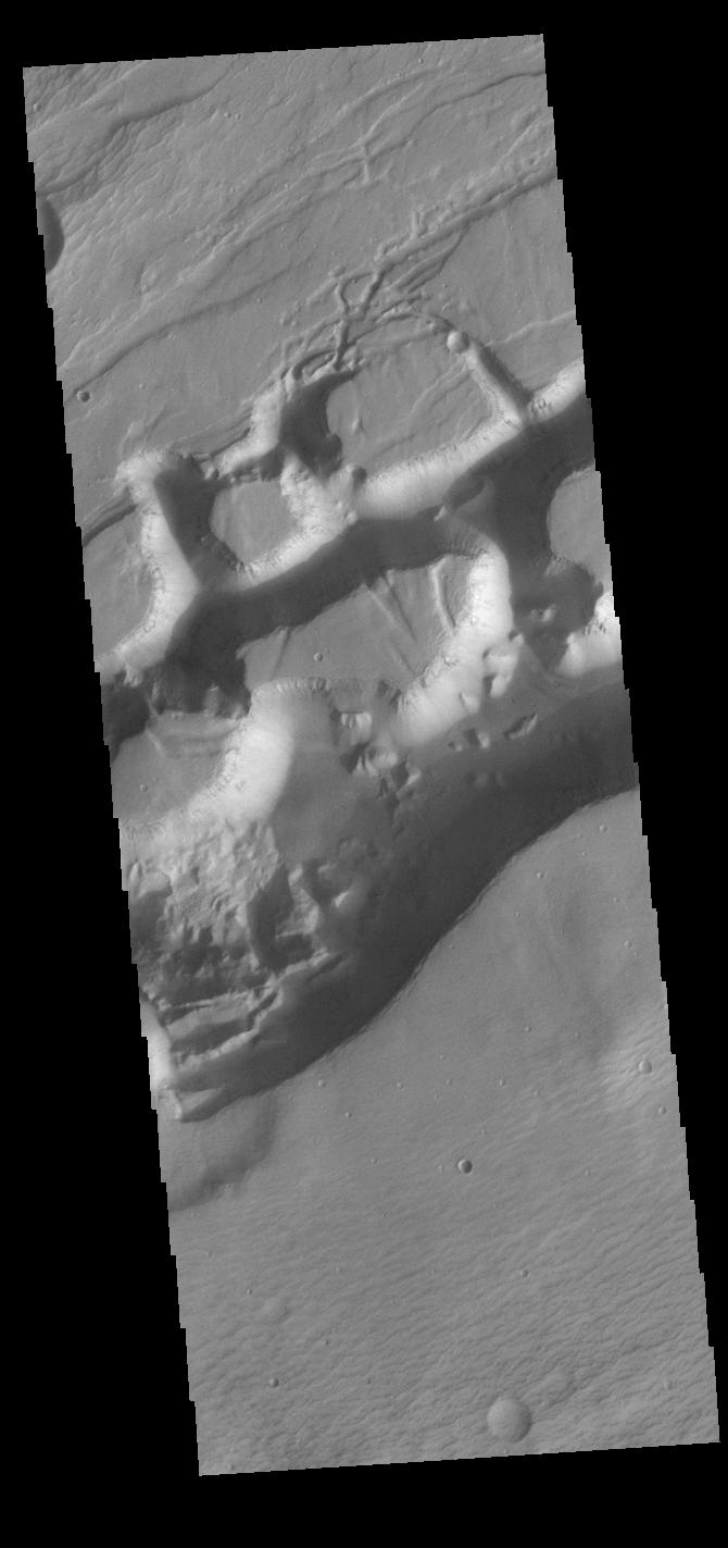
2022-10-07 | Mars |
Mars Reconnaissance Orbiter (MRO) |
MARCI |
3094x1669x3 |
|
|||||
|
|
2022-10-07 | Mars |
2001 Mars Odyssey |
THEMIS |
599x2720x1 |
|
|
|||||
|
|
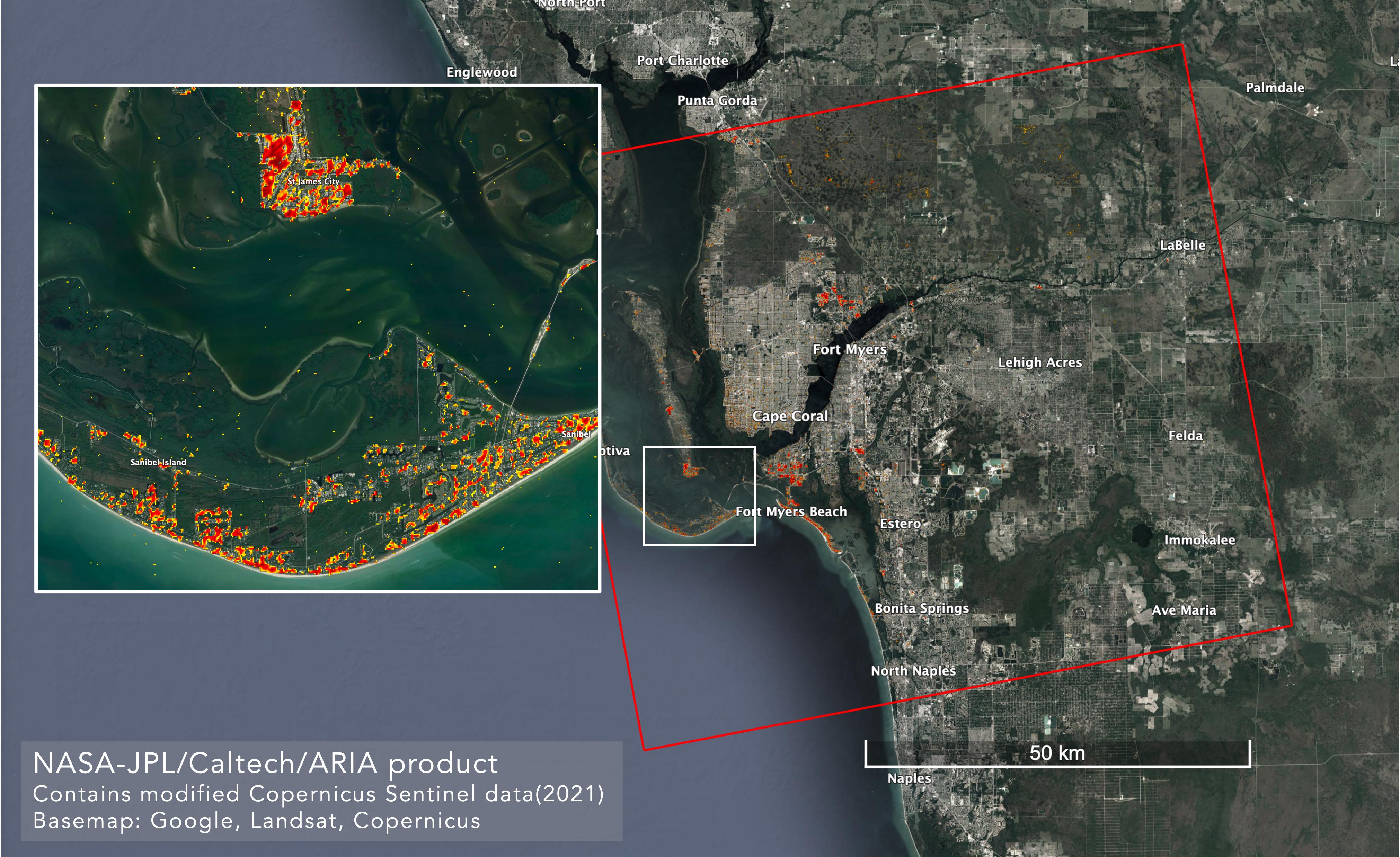
2022-10-06 | Earth |
ARIA |
SAR |
4042x2475x3 |
|
|||||
|
|
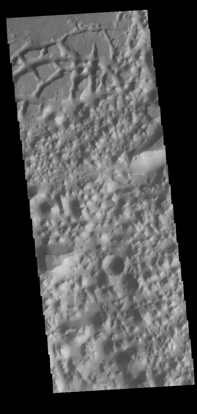
2022-10-06 | Mars |
2001 Mars Odyssey |
THEMIS |
666x1432x1 |
|
|
|||||
|
|
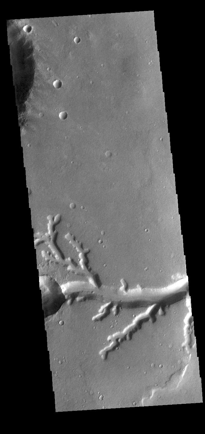
2022-10-05 | Mars |
2001 Mars Odyssey |
THEMIS |
1330x2651x1 |

|
|||||
|
|
2022-10-04 | Mars |
2001 Mars Odyssey |
THEMIS |
661x1431x1 |
|
|
|||||
|
|
2022-10-03 | Mars |
2001 Mars Odyssey |
THEMIS |
669x1417x1 |
|
|
|||||
|
|
2022-09-30 | Mars |
Mars Helicopter |
480x640x1 | |

|
|||||
|
|
2022-09-30 | Earth |
Terra |
MISR |
5504x6001x3 |
|
|||||
|
|
2022-09-30 | Mars |
Mars Reconnaissance Orbiter (MRO) |
HiRISE |
2880x1800x3 |
|
|||||
|
|
2022-09-30 | Mars |
Mars Reconnaissance Orbiter (MRO) |
HiRISE |
2880x1800x3 |
|
|||||
|
|
2022-09-30 | Mars |
Mars Reconnaissance Orbiter (MRO) |
HiRISE |
2880x1800x3 |
|
|||||
|
|
2022-09-30 | Mars |
Mars Reconnaissance Orbiter (MRO) |
HiRISE |
2880x1800x3 |
|
|||||
|
|
2022-09-30 | Mars |
2001 Mars Odyssey |
THEMIS |
602x2700x1 |
|
|
|||||
|
|
2022-09-29 | Mars |
2001 Mars Odyssey |
THEMIS |
685x1423x1 |
|
|
|||||
|
|
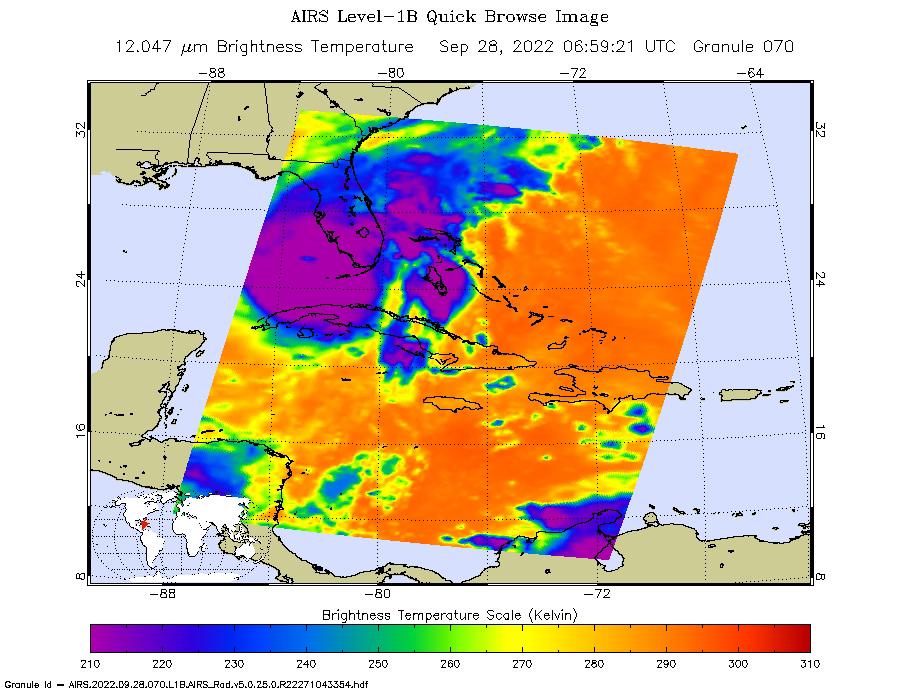
2022-09-28 | Earth |
COWVR |
COWVR TEMPEST |
1564x1527x3 |
|
|||||
|
|
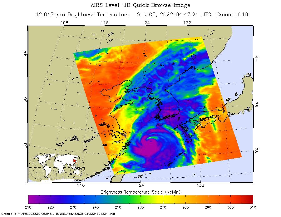
2022-09-28 | Earth |
Aqua |
AIRS |
900x695x3 |
|
|||||
|
|
2022-09-28 | Mars |
2001 Mars Odyssey |
THEMIS |
672x1425x1 |
|
|
|||||
|
|
2022-09-27 | Mars |
2001 Mars Odyssey |
THEMIS |
665x1428x1 |
|
|
|||||
|
|
2022-09-26 | Mars |
2001 Mars Odyssey |
THEMIS |
668x1423x1 |
|
|
|||||
|
|
2022-09-23 | Mars |
2001 Mars Odyssey |
THEMIS |
669x1439x1 |
|
|
|||||
|
|
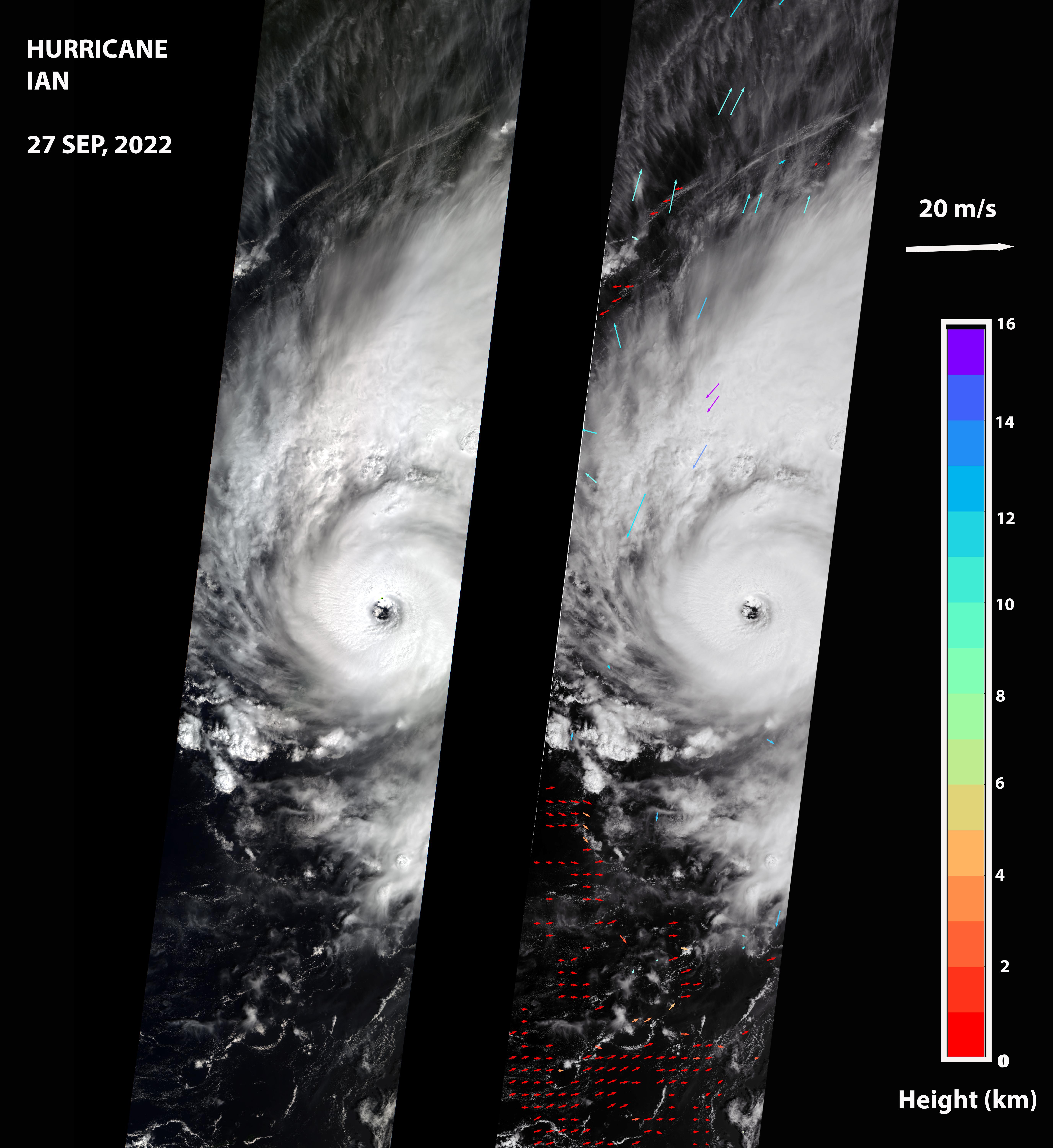
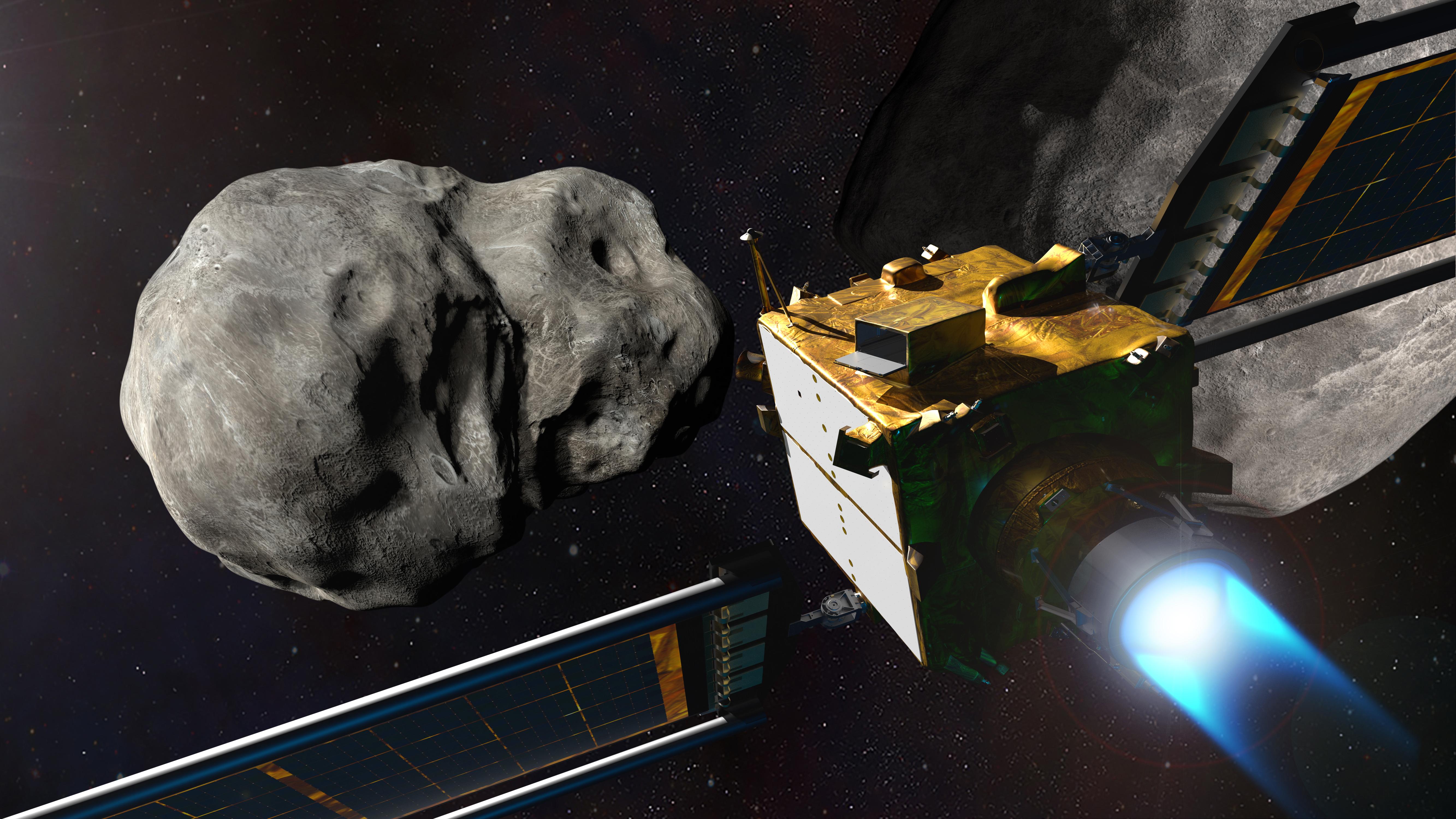
2022-09-22 | Asteroid |
Double Asteroid Redirection Test (DART) |
5333x3000x3 | |

|
|||||
|
|
2022-09-22 | Mars |
2001 Mars Odyssey |
THEMIS |
660x1432x1 |
|
|
|||||
|
|
2022-09-21 | Mars |
2001 Mars Odyssey |
THEMIS |
673x1424x1 |
|
|
|||||
|
|
2022-09-20 | Mars |
2001 Mars Odyssey |
THEMIS |
677x1423x1 |
|
|
|||||
|
|
2022-09-19 | Mars |
2001 Mars Odyssey |
THEMIS |
668x1437x1 |
|
|
|||||
|
|
2022-09-19 | Mars |
Mars Reconnaissance Orbiter (MRO) |
HiRISE |
4047x2956x3 |
|
|||||
|
|
2022-09-19 | Mars |
Mars Reconnaissance Orbiter (MRO) |
HiRISE |
2675x3147x3 |
|
|||||
|
|
2022-09-19 | Mars |
Mars Reconnaissance Orbiter (MRO) |
HiRISE |
4047x3466x3 |
|
|||||
|
|
2022-09-19 | Mars |
Mars Reconnaissance Orbiter (MRO) |
HiRISE |
4994x3341x3 |
|
|||||
|
|
2022-09-16 | Mars |
2001 Mars Odyssey |
THEMIS |
1331x2661x1 |
|
|||||
|
|
2022-09-15 | Mars |
2001 Mars Odyssey |
THEMIS |
678x1422x1 |
|
|
|||||
|
|
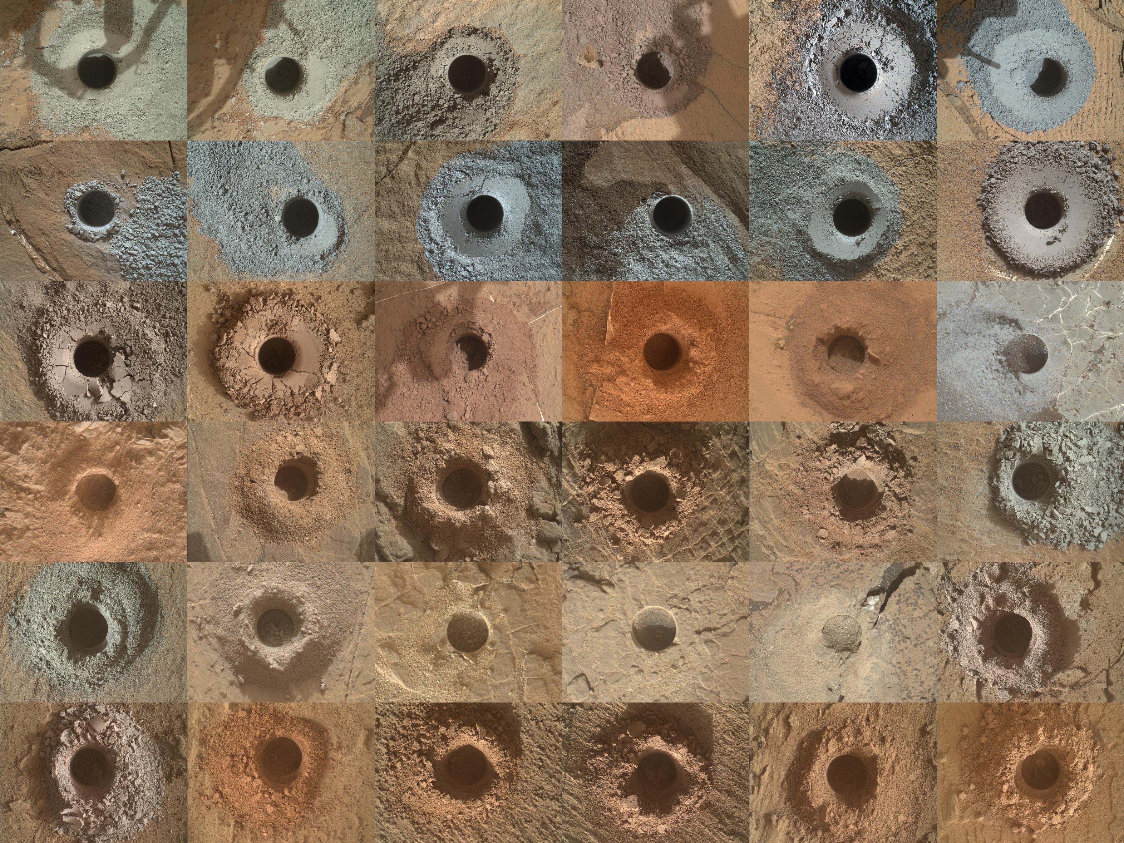
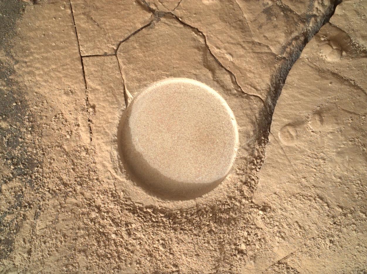
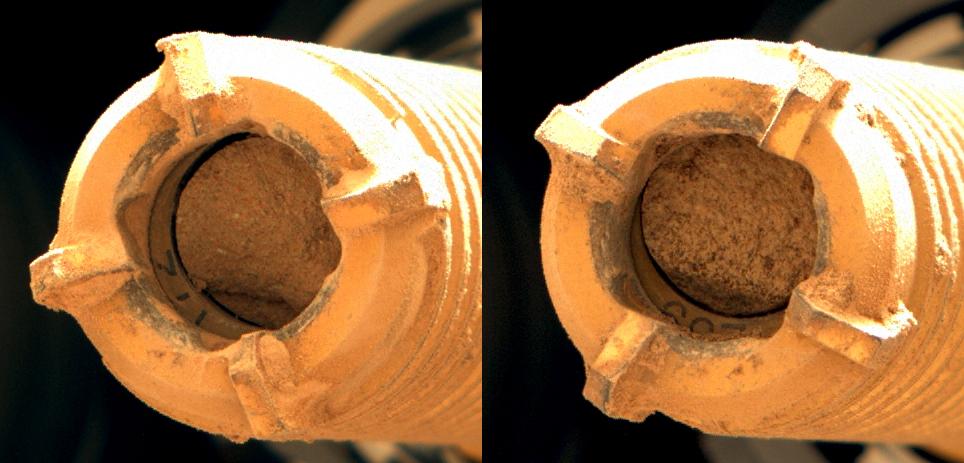
2022-09-15 | Mars |
Mars 2020 Rover |
Scanning Habitable Environments with Raman & Luminescence for Organics and Chemicals (SHERLOC) |
1252x936x3 |
|
|||||
|
|
2022-09-15 | Mars |
Mars 2020 Rover |
Scanning Habitable Environments with Raman & Luminescence for Organics and Chemicals (SHERLOC) |
1920x1080x3 |

|
|||||
|
|
2022-09-15 | Mars |
Mars Reconnaissance Orbiter (MRO) |
CRISM HiRISE |
1920x1080x3 |
|
|||||
|
|
2022-09-15 | Mars |
Mars 2020 Rover |
Navigation Camera (M2020) |
1620x1080x3 |
|
|||||
|
|
2022-09-15 | Mars |
Mars 2020 Rover |
Mastcam-Z |
964x463x3 |
|
|||||
|
|
2022-09-15 | Mars |
Mars 2020 Rover |
Mastcam-Z |
3225x2631x3 |

|
|||||
|
|
2022-09-15 | Mars |
Mars 2020 Rover |
Mastcam-Z |
844x412x3 |

|
|||||
|
|
2022-09-15 | Mars |
Mars 2020 Rover |
Scanning Habitable Environments with Raman & Luminescence for Organics and Chemicals (SHERLOC) |
1962x752x3 |
|
|||||
|
|
2022-09-15 | Mars |
Mars 2020 Rover |
Mastcam-Z |
13235x7349x3 |
|
|||||
|
|
2022-09-15 | Mars |
Mars 2020 Rover |
Mastcam-Z |
15261x8765x3 |
|
|||||
|
|
2022-09-15 | Mars |
Mars Reconnaissance Orbiter (MRO) |
HiRISE |
1920x1080x3 |
|
|||||
|
|
2022-09-15 | Mars |
Mars Reconnaissance Orbiter (MRO) |
CRISM HiRISE |
1920x1080x3 |
|
|||||
|
|
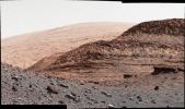
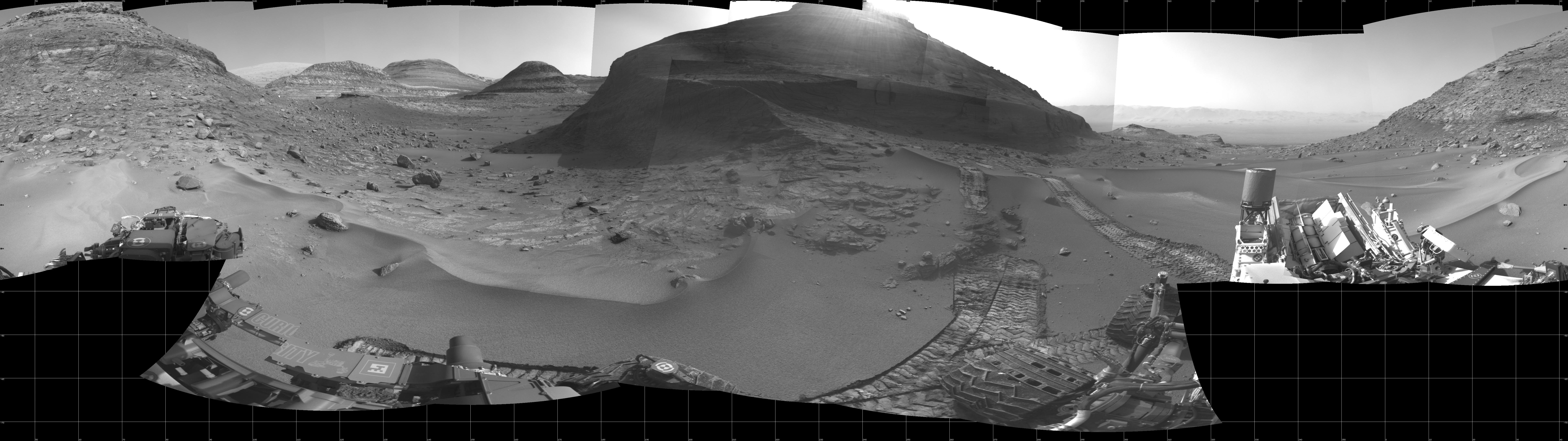
2022-09-14 | Mars |
Mars 2020 Rover |
Mastcam-Z |
29163x8182x3 |
|
|||||
|
|
2022-09-14 | Mars |
2001 Mars Odyssey |
THEMIS |
670x1416x1 |
|
|
|||||
|
|
2022-09-13 | Mars |
2001 Mars Odyssey |
THEMIS |
684x1422x1 |
|
|
|||||
|
|
2022-09-12 | Mars |
2001 Mars Odyssey |
THEMIS |
675x1421x1 |
|
|
|||||
|
|
2022-09-09 | Mars |
2001 Mars Odyssey |
THEMIS |
676x1428x1 |
|
|
|||||
|
|
2022-09-08 | Earth |
Aqua |
AIRS |
900x695x3 |
|
|||||
|
|
2022-09-08 | Mars |
2001 Mars Odyssey |
THEMIS |
1357x2653x1 |
|
|||||
|
|
2022-09-07 | Mars |
2001 Mars Odyssey |
THEMIS |
679x1428x1 |
|
|
|||||
|
|
2022-09-06 | Mars |
2001 Mars Odyssey |
THEMIS |
677x1418x1 |
|
|
|||||
|
|
2022-09-05 | Mars |
2001 Mars Odyssey |
THEMIS |
671x1433x1 |
|
|
|||||
|
|
2022-09-02 | Mars |
2001 Mars Odyssey |
THEMIS |
669x1416x1 |
|
|
|||||
|
|
2022-09-01 | Mars |
2001 Mars Odyssey |
THEMIS |
682x1418x1 |
|
|
|||||
|
|
2022-08-31 | Mars |
Mars Reconnaissance Orbiter (MRO) |
HiRISE |
2880x1800x3 |

|
|||||
|
|
2022-08-31 | Mars |
Mars Reconnaissance Orbiter (MRO) |
HiRISE |
2880x1800x3 |
|
|||||
|
|
2022-08-31 | Mars |
Mars Reconnaissance Orbiter (MRO) |
HiRISE |
2880x1800x3 |
|
|||||
|
|
2022-08-31 | Mars |
Mars Reconnaissance Orbiter (MRO) |
HiRISE |
2880x1800x3 |
|
|||||
|
|
2022-08-31 | Mars |
2001 Mars Odyssey |
THEMIS |
664x1422x1 |
|
|
|||||
|
|
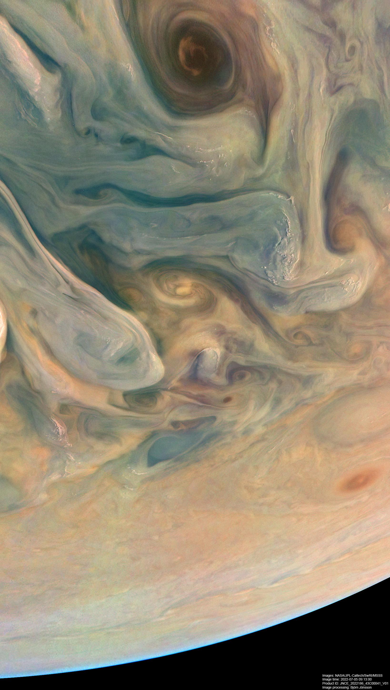
2022-08-30 | Jupiter |
Juno |
JunoCam |
1638x2900x3 |
|
|||||
|
|
2022-08-30 | Mars |
2001 Mars Odyssey |
THEMIS |
672x1429x1 |
|
|
|||||
|
|
2022-08-29 | Mars |
2001 Mars Odyssey |
THEMIS |
673x1415x1 |
|
|
|||||
|
|
2022-08-26 | Mars |
2001 Mars Odyssey |
THEMIS |
672x1423x1 |
|
|
|||||
|
|
2022-08-25 | Mars |
2001 Mars Odyssey |
THEMIS |
670x1419x1 |
|
|
|||||
|
|
2022-08-24 | Mars |
2001 Mars Odyssey |
THEMIS |
678x1433x1 |
|
|
|||||
|
|
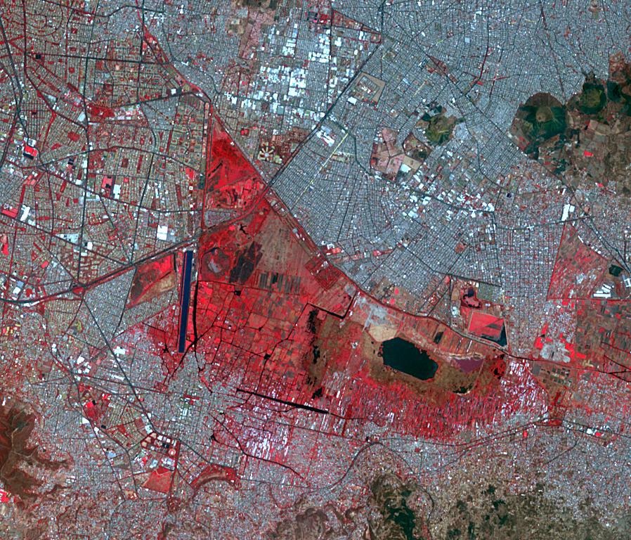
2022-08-23 | Earth |
Terra |
ASTER |
2064x971x3 |

|
|||||
|
|
2022-08-23 | Earth |
Terra |
ASTER |
1986x3125x3 |
|
|||||
|
|
2022-08-23 | Mars |
2001 Mars Odyssey |
THEMIS |
669x1424x1 |
|
|
|||||
|
|
2022-08-22 | Mars |
2001 Mars Odyssey |
THEMIS |
601x2687x1 |
|
|
|||||
|
|
2022-08-19 | Mars |
Mars 2020 Rover |
Scanning Habitable Environments with Raman & Luminescence for Organics and Chemicals (SHERLOC) |
1584x1184x3 |
|
|||||
|
|
2022-08-19 | Mars |
2001 Mars Odyssey |
THEMIS |
661x1432x1 |
|
|
|||||

|
 |
|
|
|
|
|
|
 |
 |
|

|
| 1-100 | 101-200 | 201-300 | 301-400 | 401-500 | 501-600 | 601-700 | 701-800 | 801-900 | 901-1000 |
| Currently displaying images: 701 - 800 of 19741 |