My
List |
Addition Date
|
Target
|
Mission
|
Instrument
|
Size
|

|
2010-11-03 |
Earth
|
Terra
|
ASTER
|
1725x1440x3 |
|
-
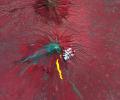
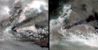
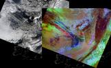
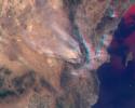
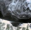
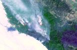
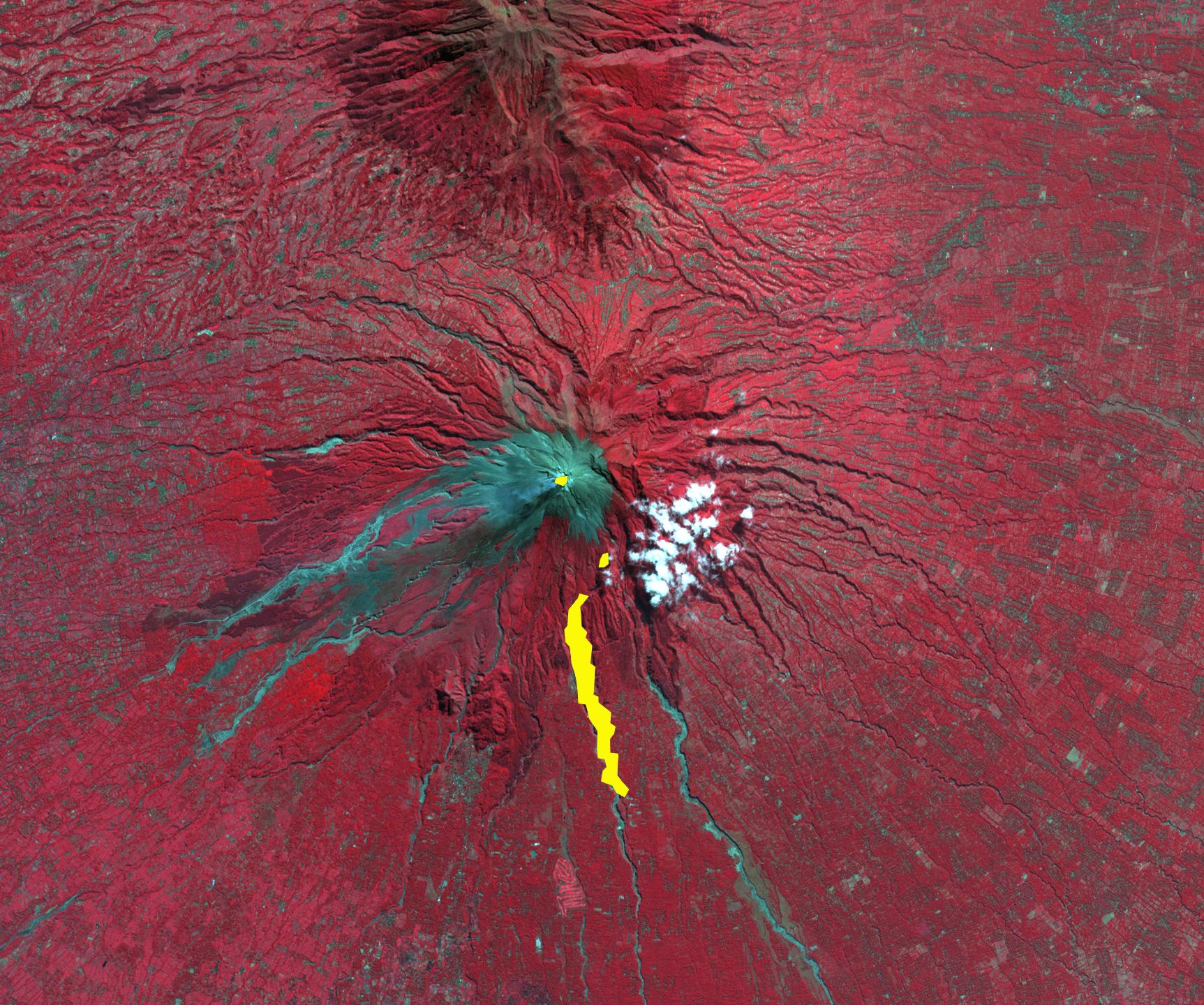
PIA13567:
-
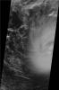
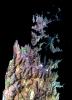
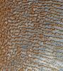
Merapi Volcano, Indonesia
Full Resolution:
TIFF
(7.464 MB)
JPEG
(506.3 kB)
|
|
|
2010-11-03 |
Earth
|
Terra
|
MISR
|
1339x1356x3 |
|
-
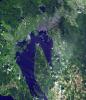
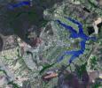
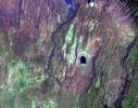
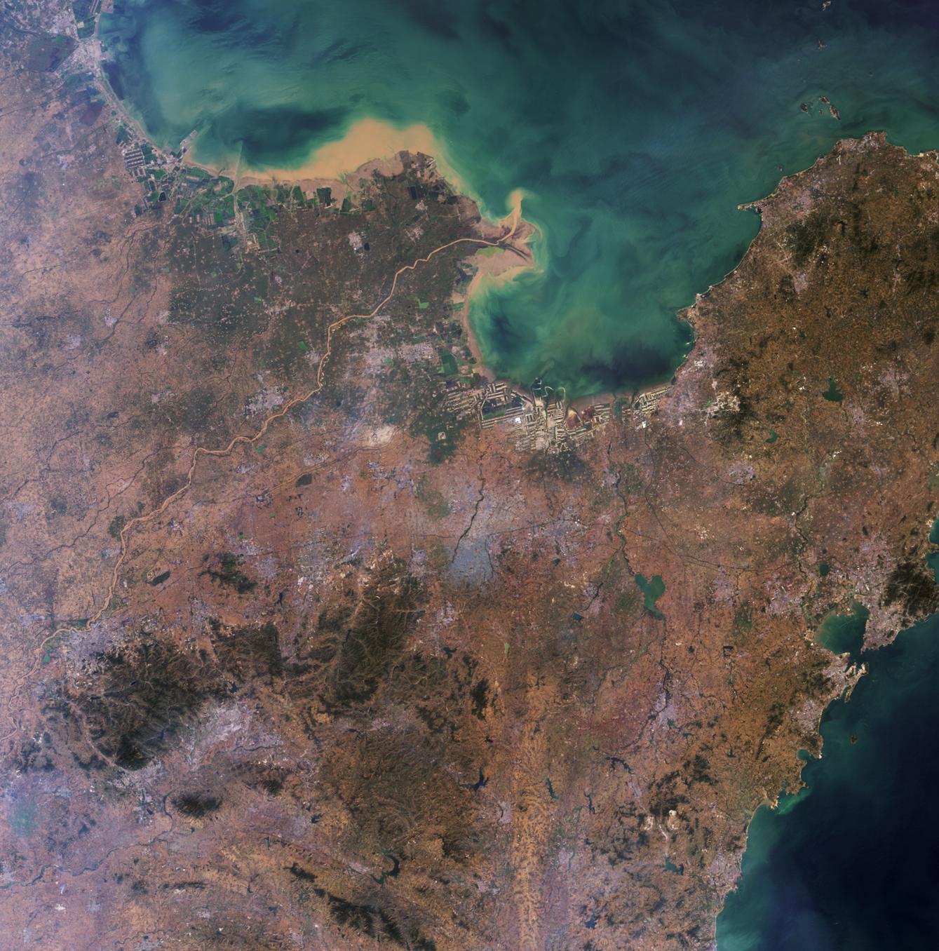
PIA13565:
-
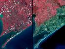
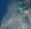
Where on Earth...? MISR Mystery Image Quiz #24: Shandong Province, China
Full Resolution:
TIFF
(5.453 MB)
JPEG
(311.5 kB)
|
|
|
2010-10-11 |
Earth
|
Terra
|
ASTER
|
2256x958x3 |
|
-
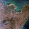
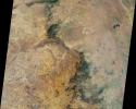
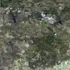
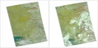
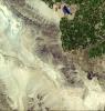
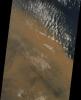
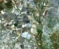
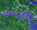
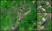
PIA13467:
-
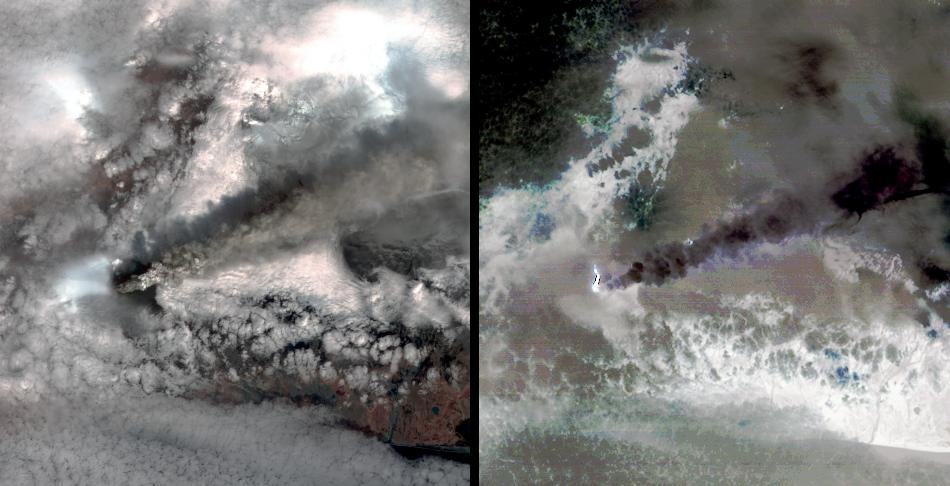
ASTER Images Hungary Toxic Sludge Spill
Full Resolution:
TIFF
(6.492 MB)
JPEG
(438.1 kB)
|
|
|
2010-10-11 |
Earth
|
Terra
|
ASTER
|
3196x3372x3 |
|
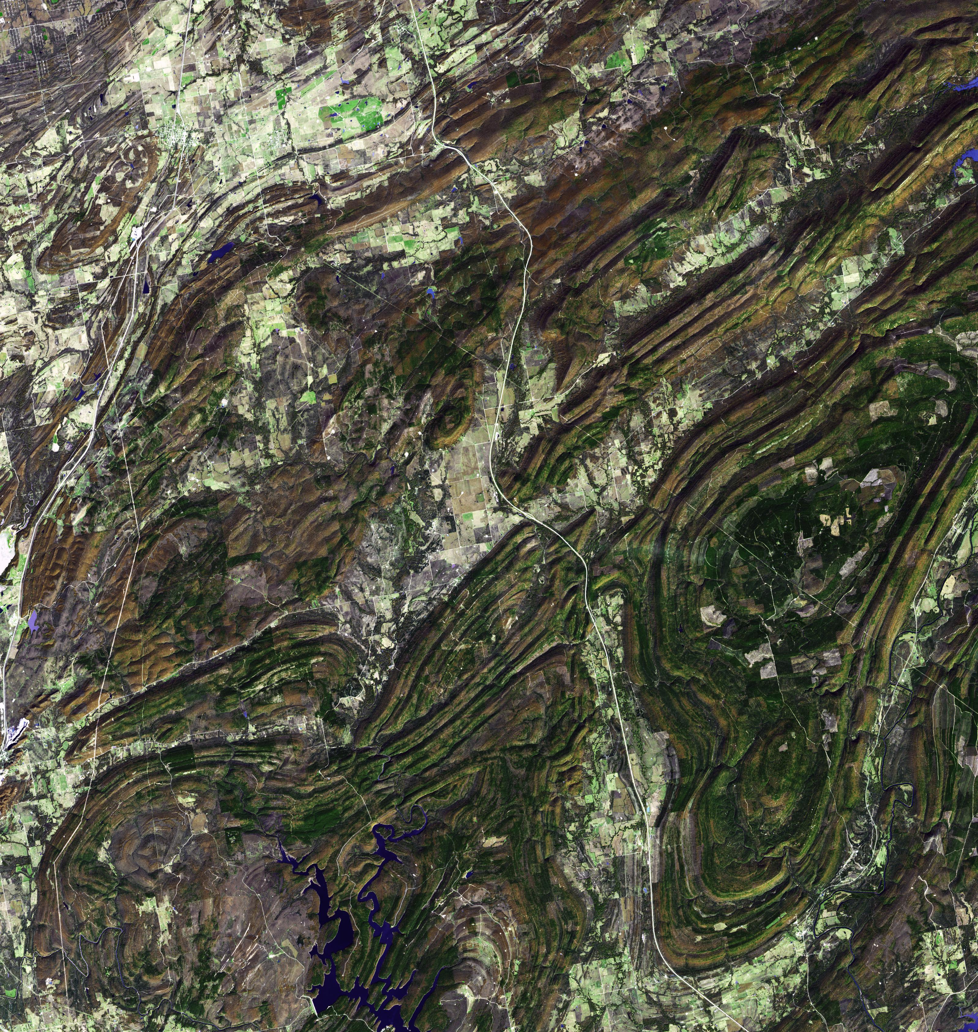
-
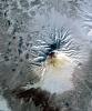
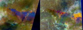
PIA13466:
-
Ouachita Mtns., Oklahoma
Full Resolution:
TIFF
(32.33 MB)
JPEG
(2.699 MB)
|
|
|
2010-10-06 |
Earth
|
Terra
|
MISR
|
2278x1826x3 |
|
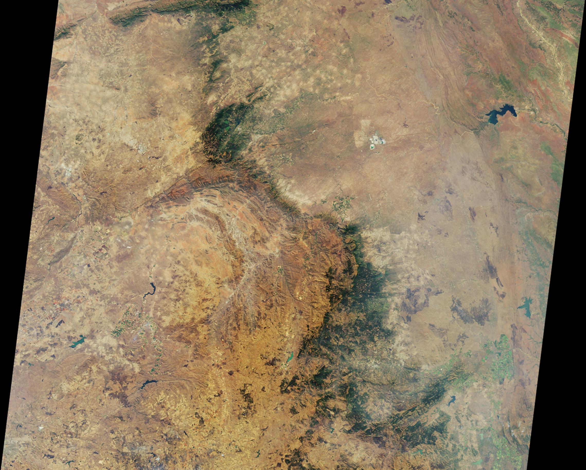
-
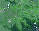
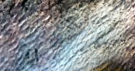
PIA13460:
-
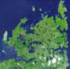
NASA's MISR Views Kruger National Park
Full Resolution:
TIFF
(12.49 MB)
JPEG
(578.8 kB)
|
|
|
2010-10-05 |
Earth
|
Terra
|
ASTER
|
1400x1556x3 |

|
-
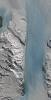
PIA13436:
-
Babylon, Iraq
Full Resolution:
TIFF
(6.548 MB)
JPEG
(625.3 kB)
|
|
|
2010-09-29 |
Earth
|
Terra
|
ASTER
|
2316x3288x3 |

|
-
PIA13432:
-
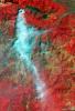
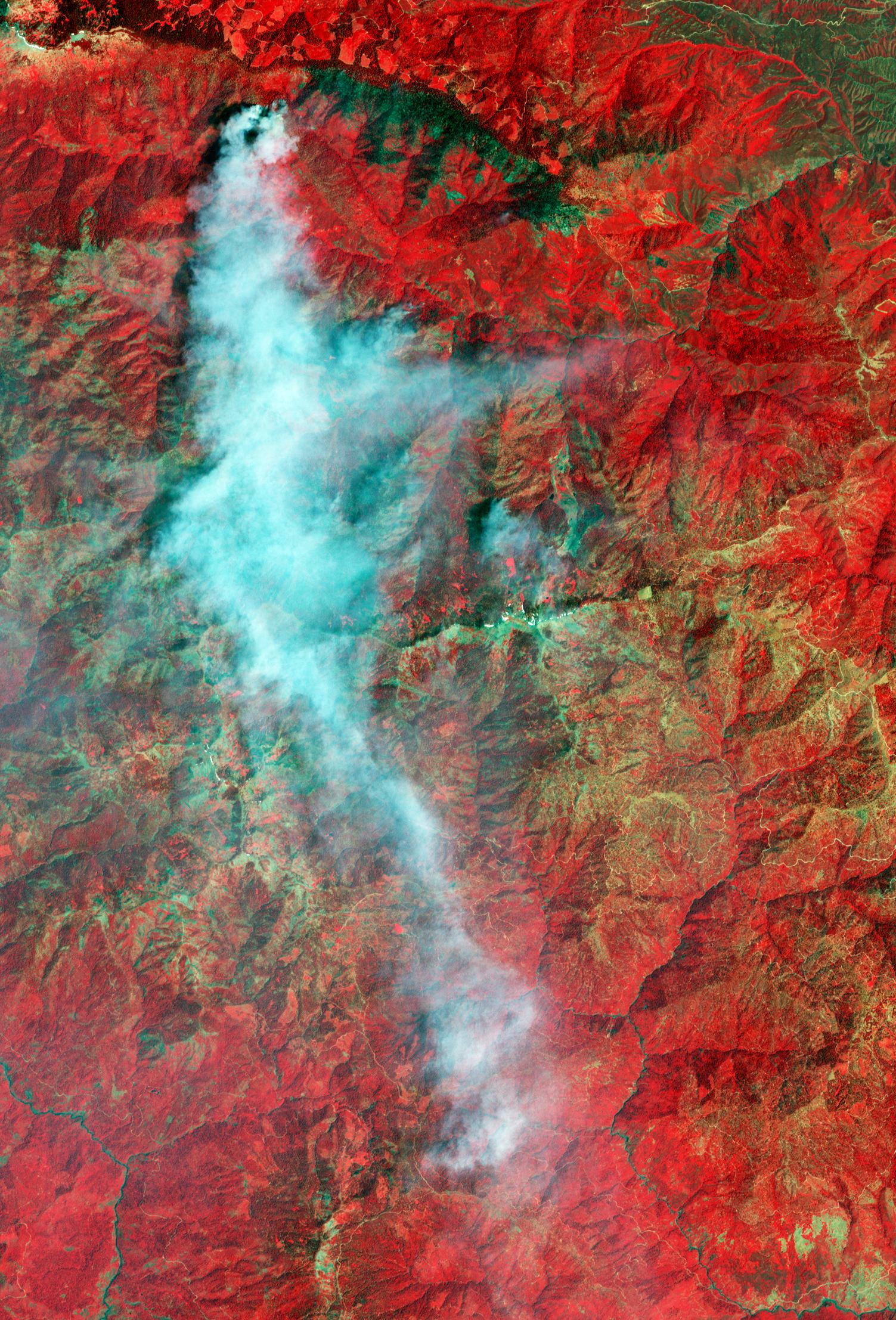
ASTER Views Twitchell Canyon Fire, Utah
Full Resolution:
TIFF
(22.87 MB)
JPEG
(1.164 MB)
|
|
|
2010-09-17 |
Earth
|
Terra
|
ASTER
|
1604x1120x3 |
|
-
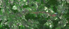
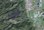
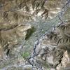
PIA13393:
-
ASTER Maps Fourmile Canyon Fire Near Boulder, Colo.
Full Resolution:
TIFF
(5.399 MB)
JPEG
(405.6 kB)
|
|
|
2010-09-13 |
Earth
|
Terra
|
ASTER
|
1757x1777x3 |

|
-
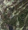
PIA13382:
-
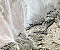
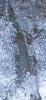
Susitna Glacier, Alaska
Full Resolution:
TIFF
(9.381 MB)
JPEG
(530.7 kB)
|
|
|
2010-09-07 |
Earth
|
Terra
|
ASTER
|
4003x11340x3 |
|
-
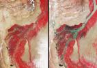
PIA13369:
-
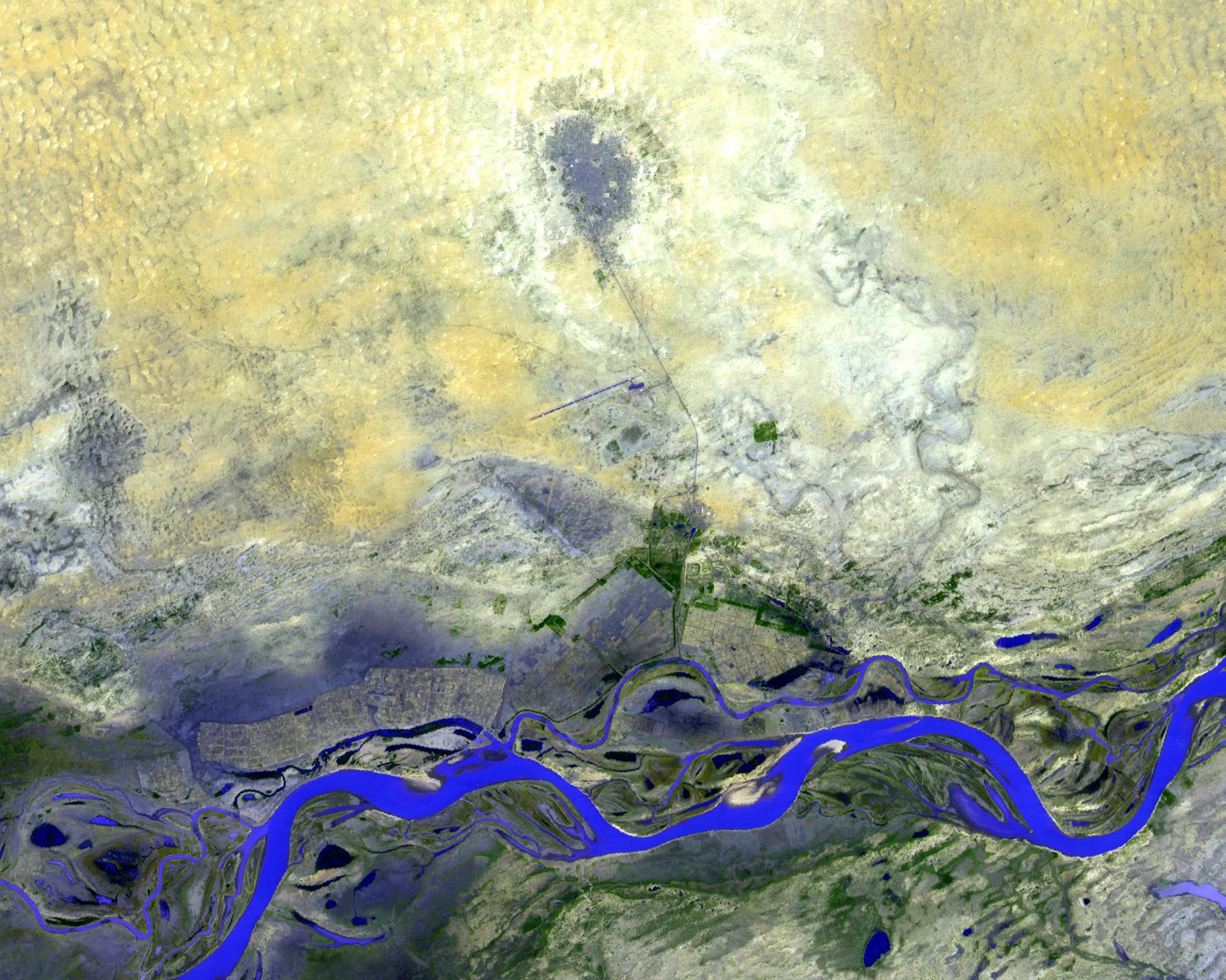
ASTER Maps Continued Pakistan Flooding
Full Resolution:
TIFF
(136.2 MB)
JPEG
(7.149 MB)
|
|
|
2010-09-07 |
Earth
|
Terra
|
ASTER
|
4003x11340x3 |
|
-
PIA13368:
-
ASTER Maps Continued Pakistan Flooding (False Color)
Full Resolution:
TIFF
(136.2 MB)
JPEG
(7.985 MB)
|
|
|
2010-09-02 |
Earth
|
Terra
|
ASTER
|
2908x2936x3 |
|
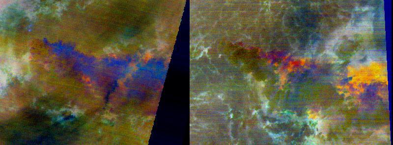
-
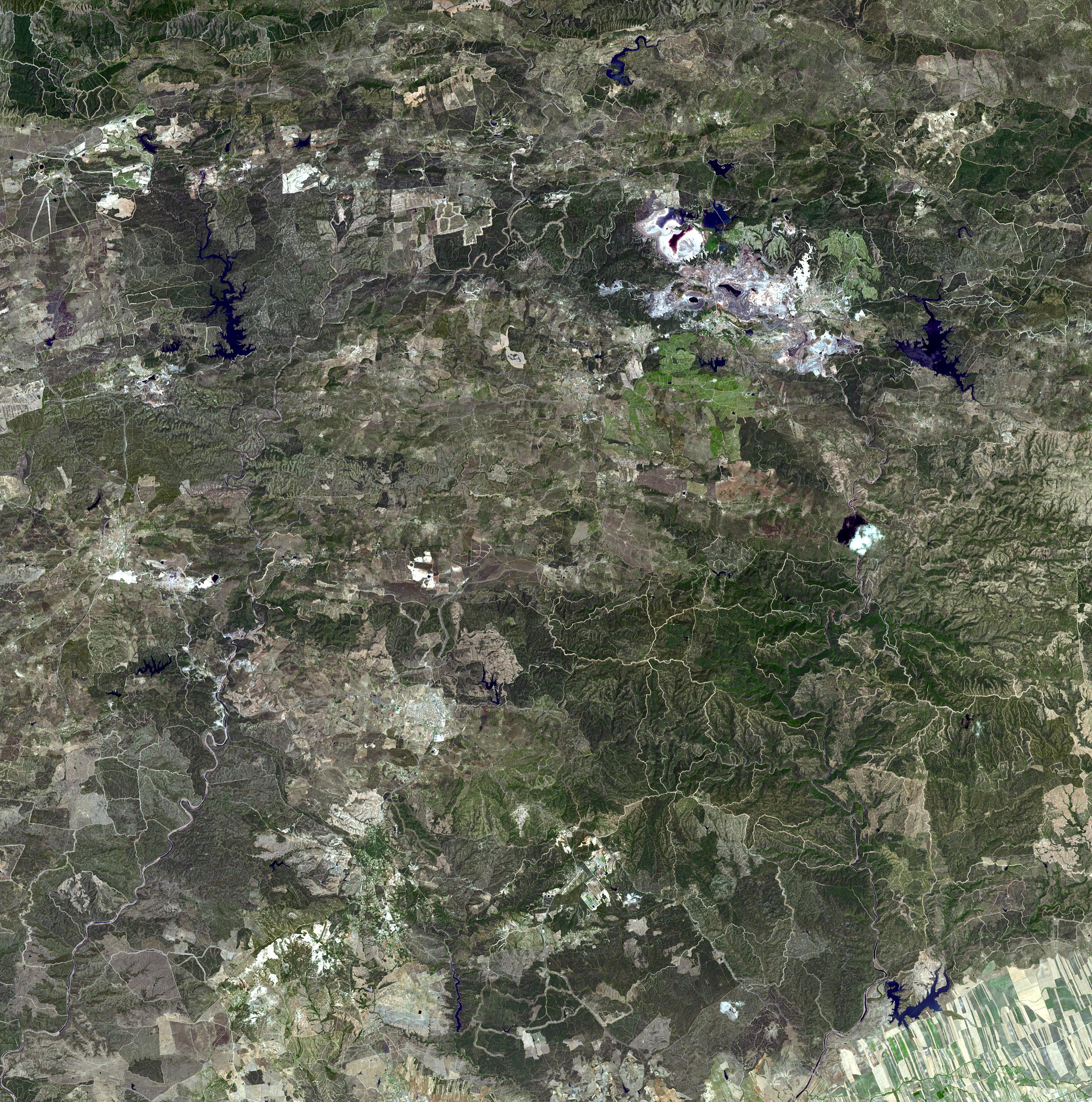
PIA13365:
-
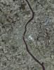
Rio Tinto, Spain
Full Resolution:
TIFF
(25.61 MB)
JPEG
(2.167 MB)
|
|
|
2010-09-02 |
Earth
|
Terra
|
ASTER
|
2361x2746x3 |
|
-
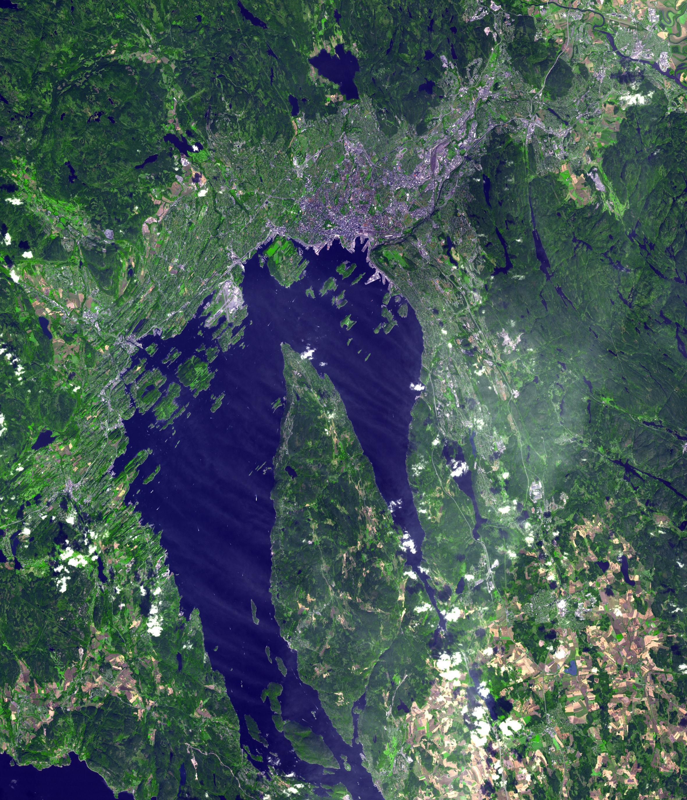
PIA13364:
-
Oslo, Norway
Full Resolution:
TIFF
(19.47 MB)
JPEG
(1.282 MB)
|
|
|
2010-09-02 |
Earth
|
Terra
|
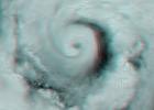
MISR
|
2268x2244x3 |
|
-
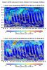
PIA13363:
-
Hurricane Earl Multi-level Winds
Full Resolution:
TIFF
(15.29 MB)
JPEG
(505.1 kB)
|
|
|
2010-08-20 |
Earth
|
Terra
|
ASTER
|
4159x5176x3 |
|
-
PIA13343:
-
ASTER Captures New Image of Pakistan Flooding
Full Resolution:
TIFF
(64.58 MB)
JPEG
(4.916 MB)
|
|
|
2010-08-19 |
Earth
|
Terra
|
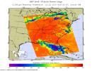
AIRS
|
2000x987x3 |
|
-
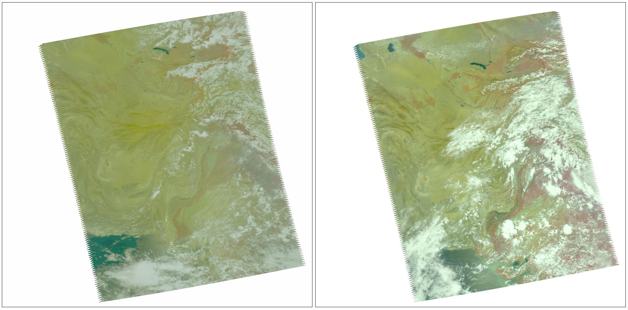
PIA13341:
-
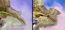
NASA's AIRS Instrument Captures Before/After Views of Pakistan Flooding
Full Resolution:
TIFF
(5.93 MB)
JPEG
(210.3 kB)
|
|
|
2010-08-18 |
Earth
|
Terra
|
MISR
|
2200x1544x3 |
|
-
PIA13337:
-
NASA's MISR Tracks Massive Flooding in Pakistan
Full Resolution:
TIFF
(10.2 MB)
JPEG
(706.9 kB)
|
|
|
2010-08-12 |
Earth
|
Terra
|
ASTER
|
1548x1000x3 |

|
-
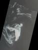
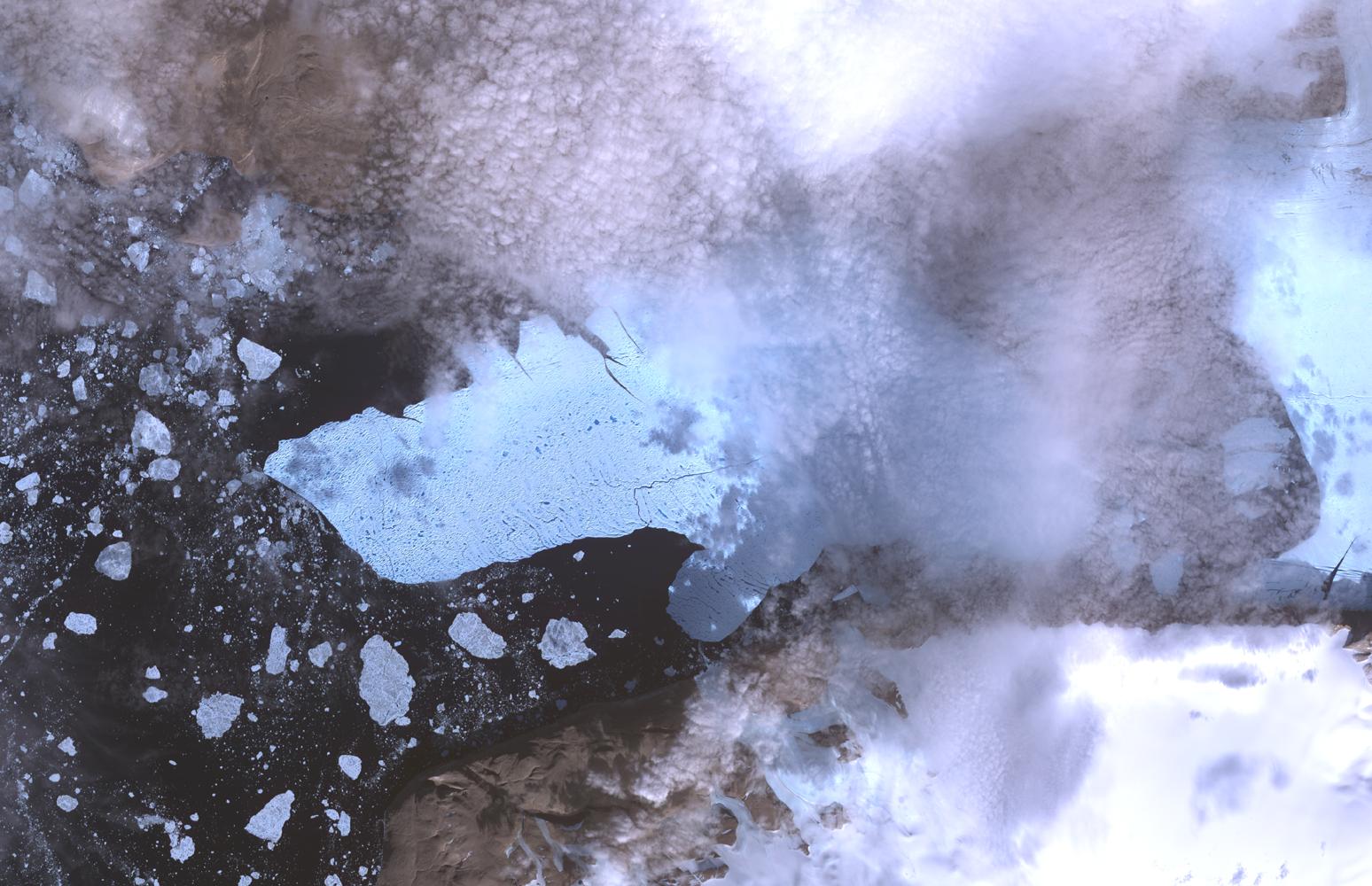
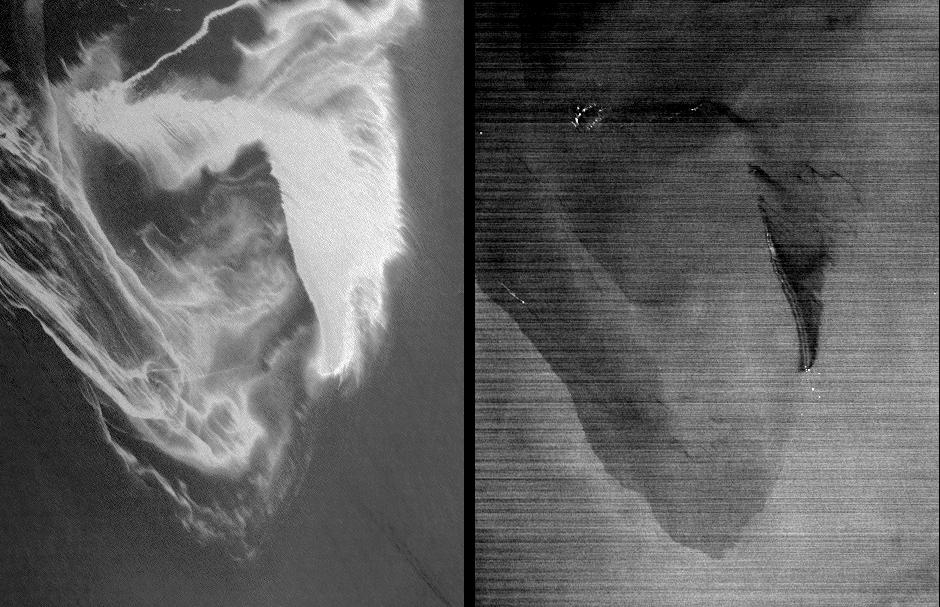
PIA13319:
-
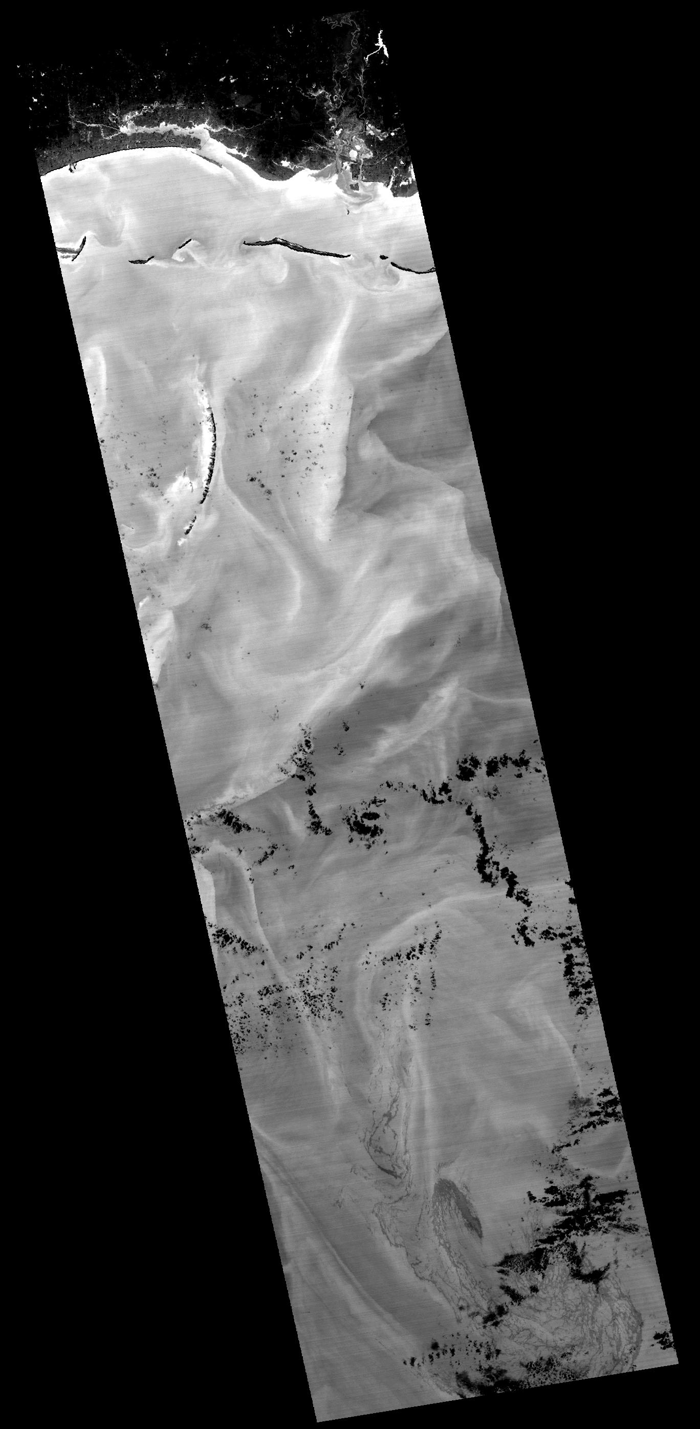
ASTER Views Large Calving Event at Petermann Glacier, Greenland
Full Resolution:
TIFF
(4.652 MB)
JPEG
(216.1 kB)
|
|
|
2010-08-07 |
Earth
|
Terra
|
AIRS
|
3200x4800x3 |
|
-
PIA13317:
-
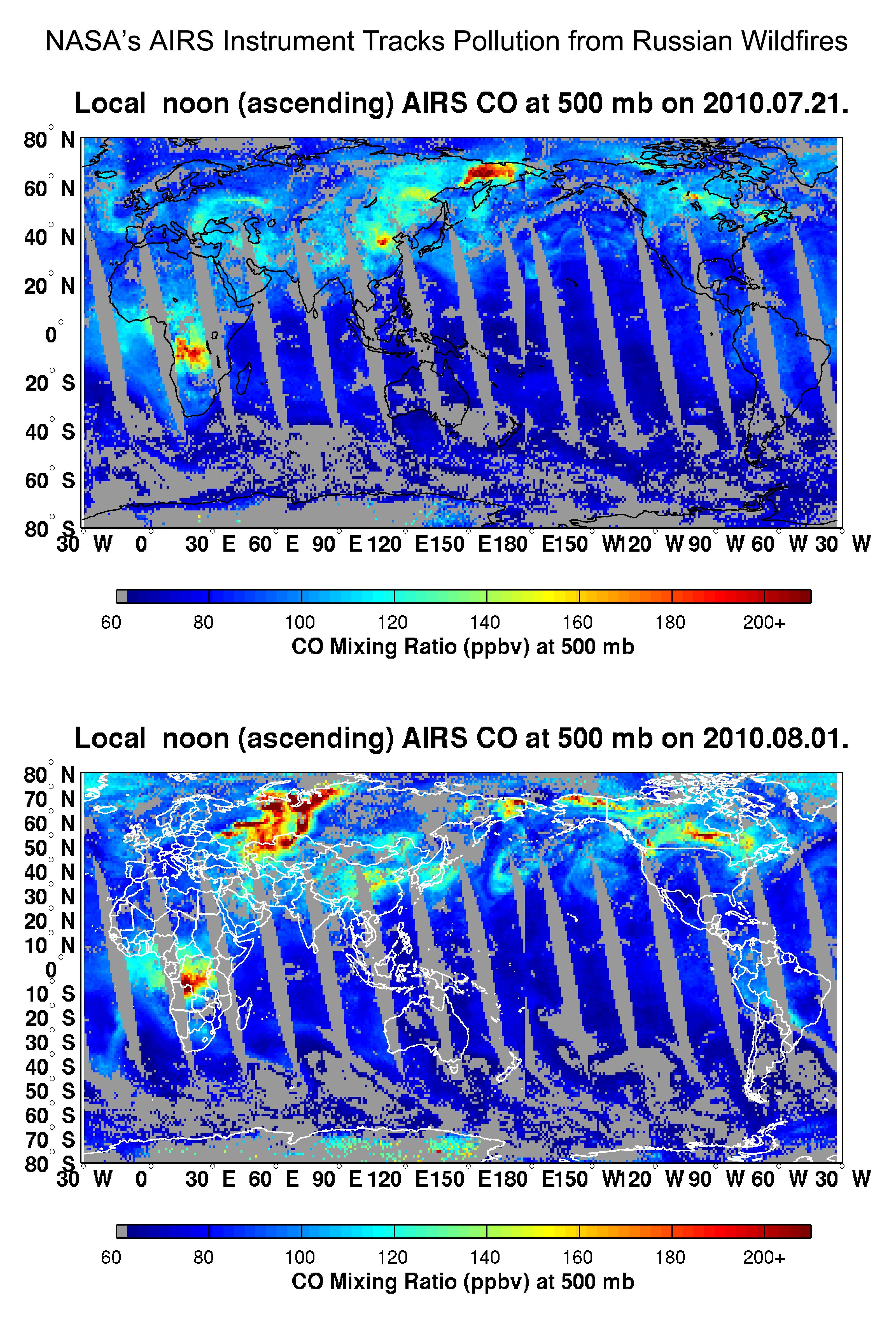
NASA's AIRS Instrument Tracks Pollution from Russian Wildfires
Full Resolution:
TIFF
(46.08 MB)
JPEG
(2.118 MB)
|
|
|
2010-08-03 |
Earth
|
Terra
|
ASTER
|
1452x1200x3 |
|
-
PIA13312:
-
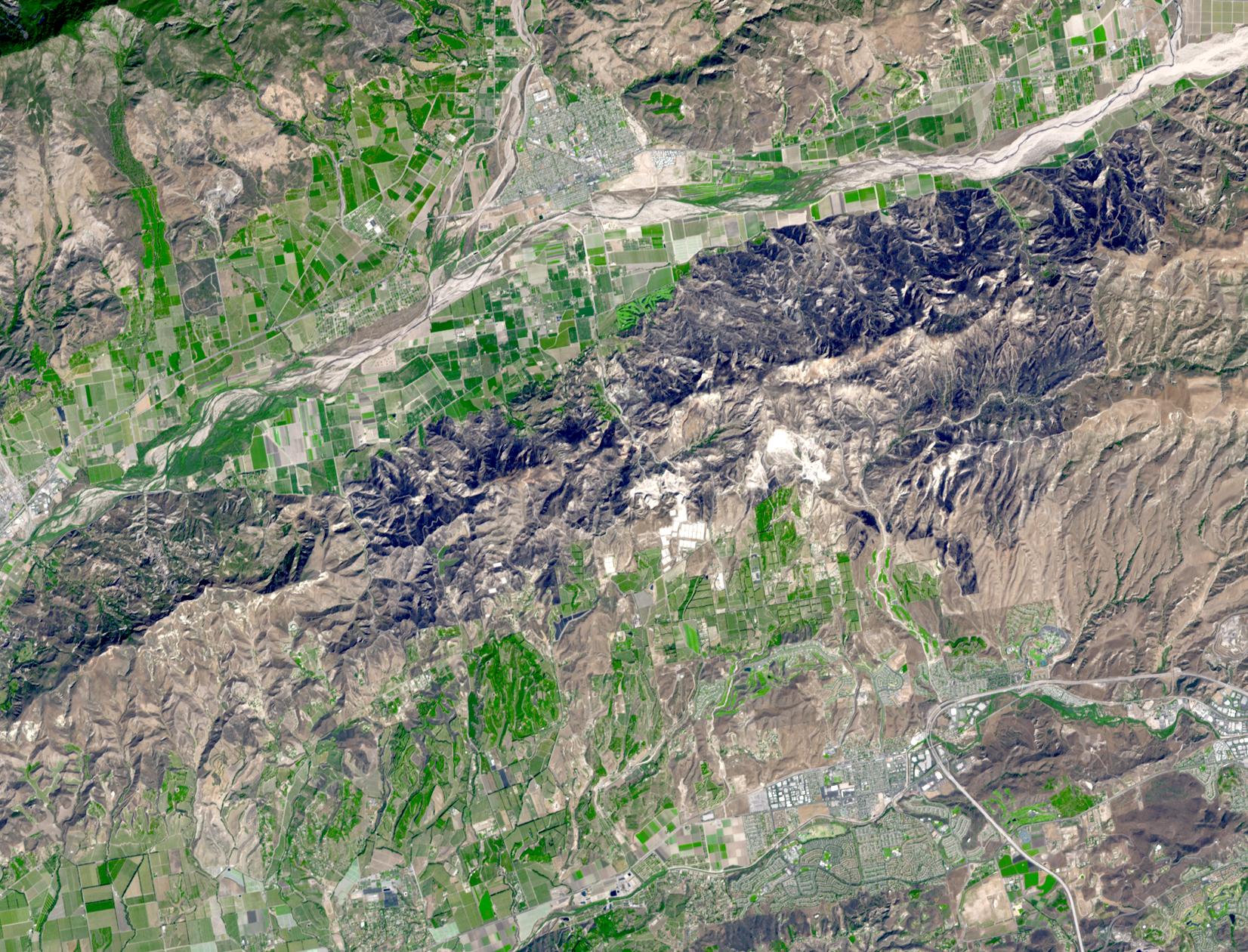
ASTER Views California's Crown Fire
Full Resolution:
TIFF
(5.237 MB)
JPEG
(470.4 kB)
|
|
|
2010-07-24 |
Earth
|
Terra
|
AIRS
|
900x695x3 |
|
-
PIA13296:
-
Bonnie Takes Aim at an Oily Gulf
Full Resolution:
TIFF
(1.879 MB)
JPEG
(129.6 kB)
|
|
|
2010-07-07 |
Earth
|
Terra
|
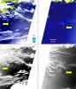
MISR
|
1656x1182x3 |
|
-
PIA13242:
-
Hurricane Alex Disrupts Gulf Cleanup
Full Resolution:
TIFF
(5.882 MB)
JPEG
(120.5 kB)
|
|
|
2010-06-02 |
Earth
|
Terra
|
MISR
|
801x866x3 |

|
-
PIA13174:
-
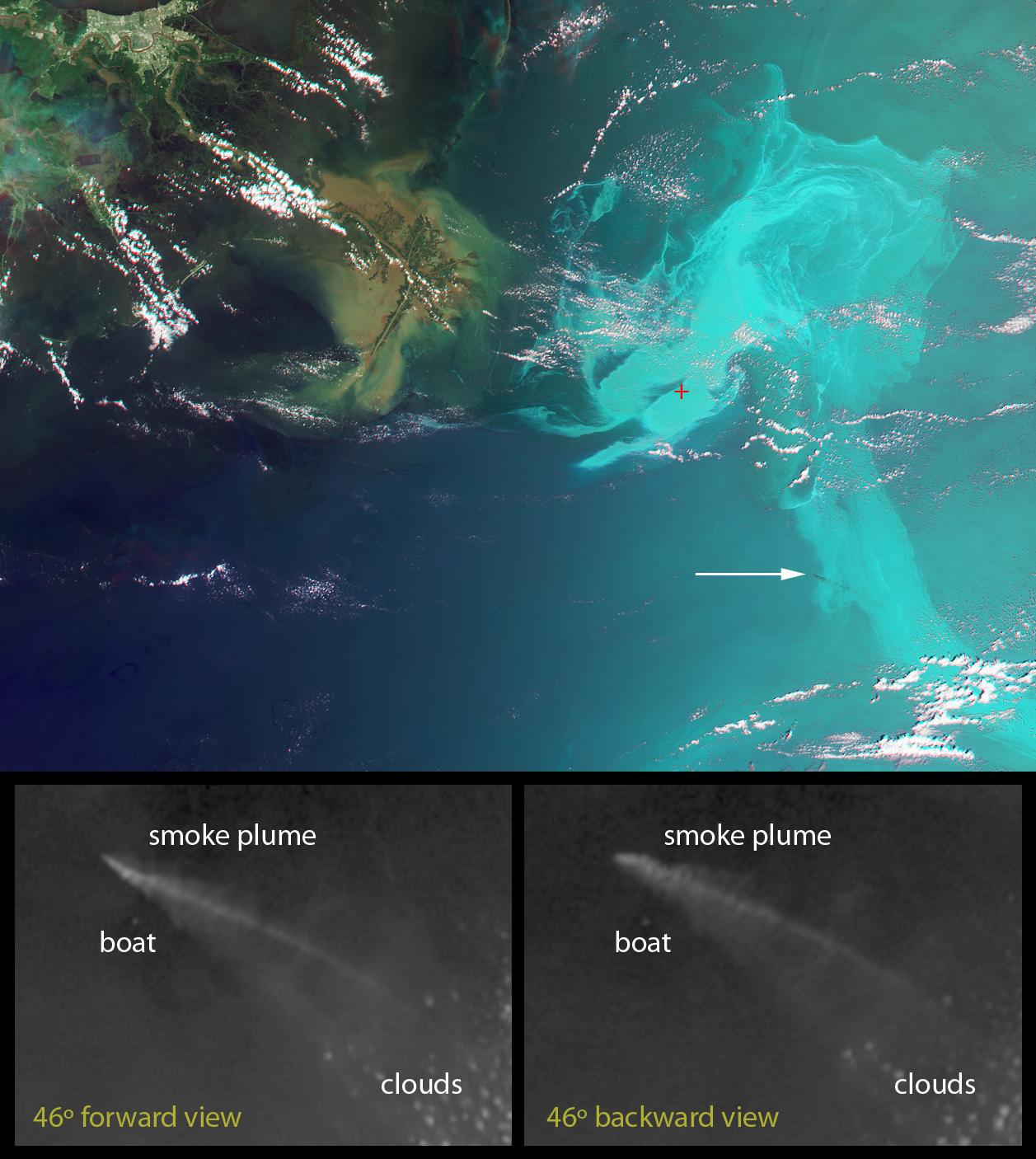
Leaking Oil Invades Louisiana Wildlife Habitats
Full Resolution:
TIFF
(2.084 MB)
JPEG
(54.74 kB)
|
|
|
2010-05-26 |
Earth
|
Terra
|
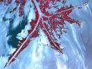
ASTER
|
2800x2100x3 |
|
-
PIA13165:
-
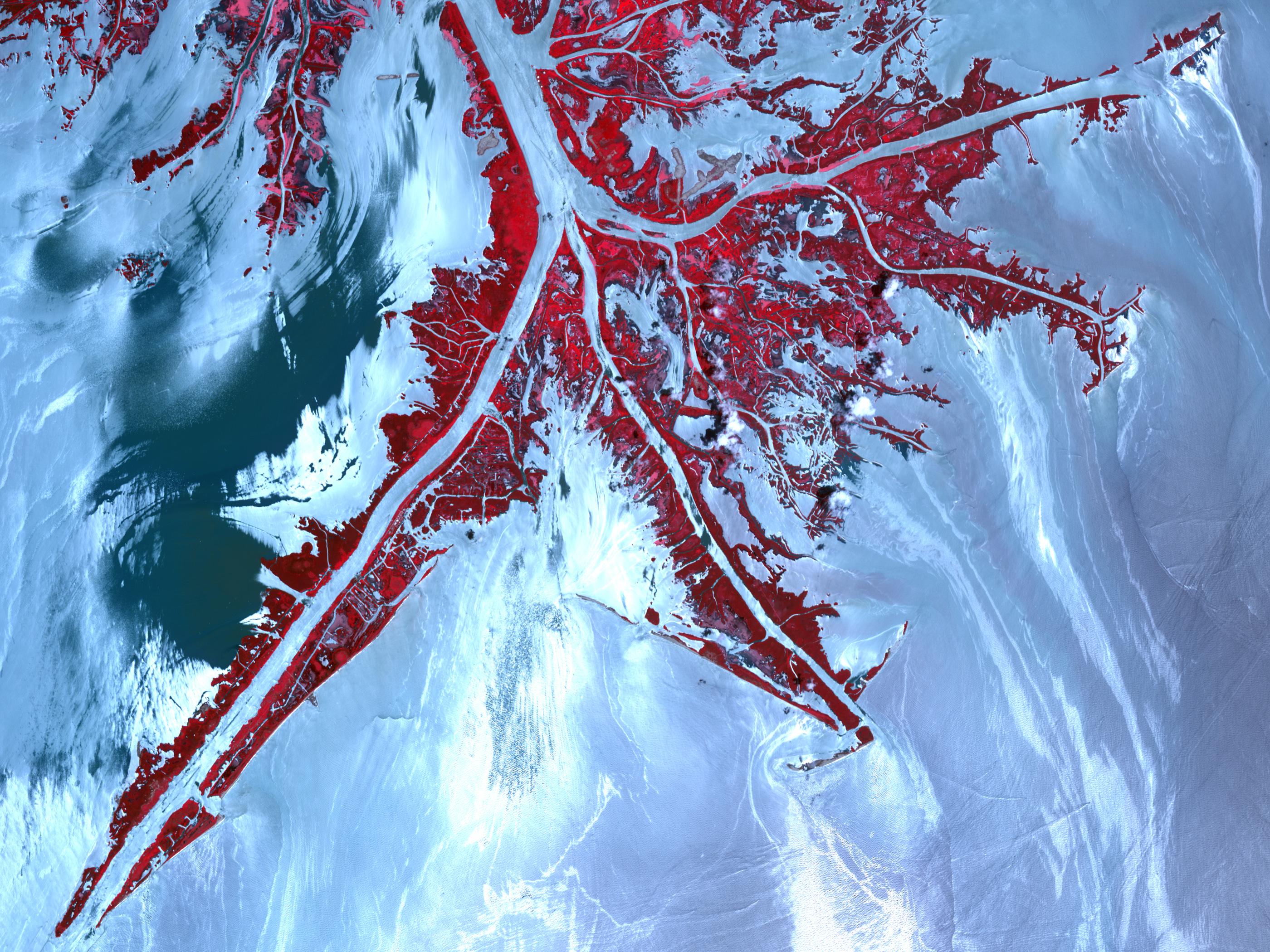
NASA Satellite Spots Oil at Mississippi Delta's Mouth
Full Resolution:
TIFF
(17.64 MB)
JPEG
(1.013 MB)
|
|
|
2010-05-20 |
Earth
|
Terra
|
MISR
|
1257x1406x3 |

|
-
PIA13150:
-
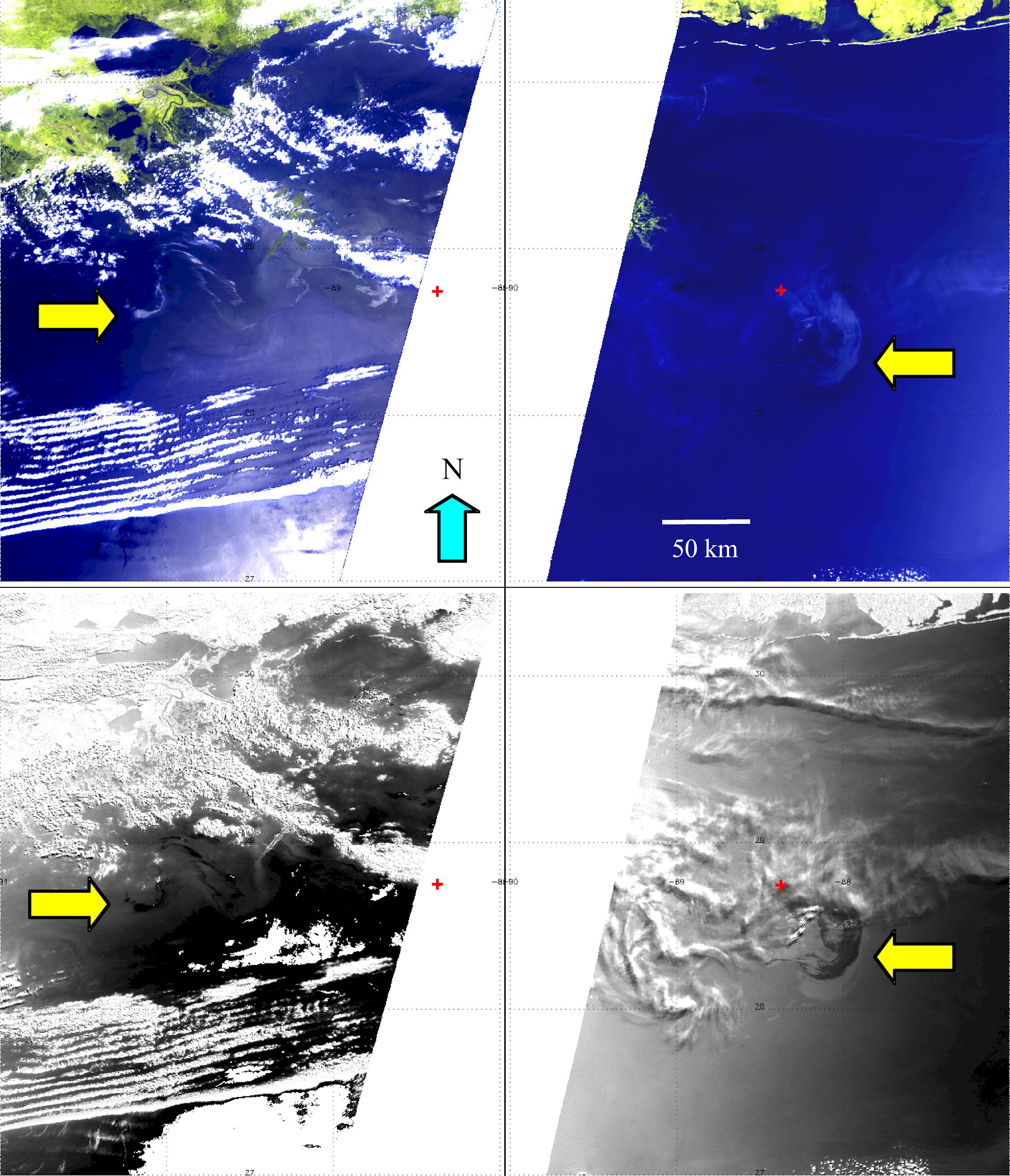
NASA's MISR Provides Unique Views of Gulf Oil Slick
Full Resolution:
TIFF
(5.308 MB)
JPEG
(193.2 kB)
|
|
|
2010-05-18 |
Earth
|
Terra
|
MISR
|
1000x676x3 |

|
-
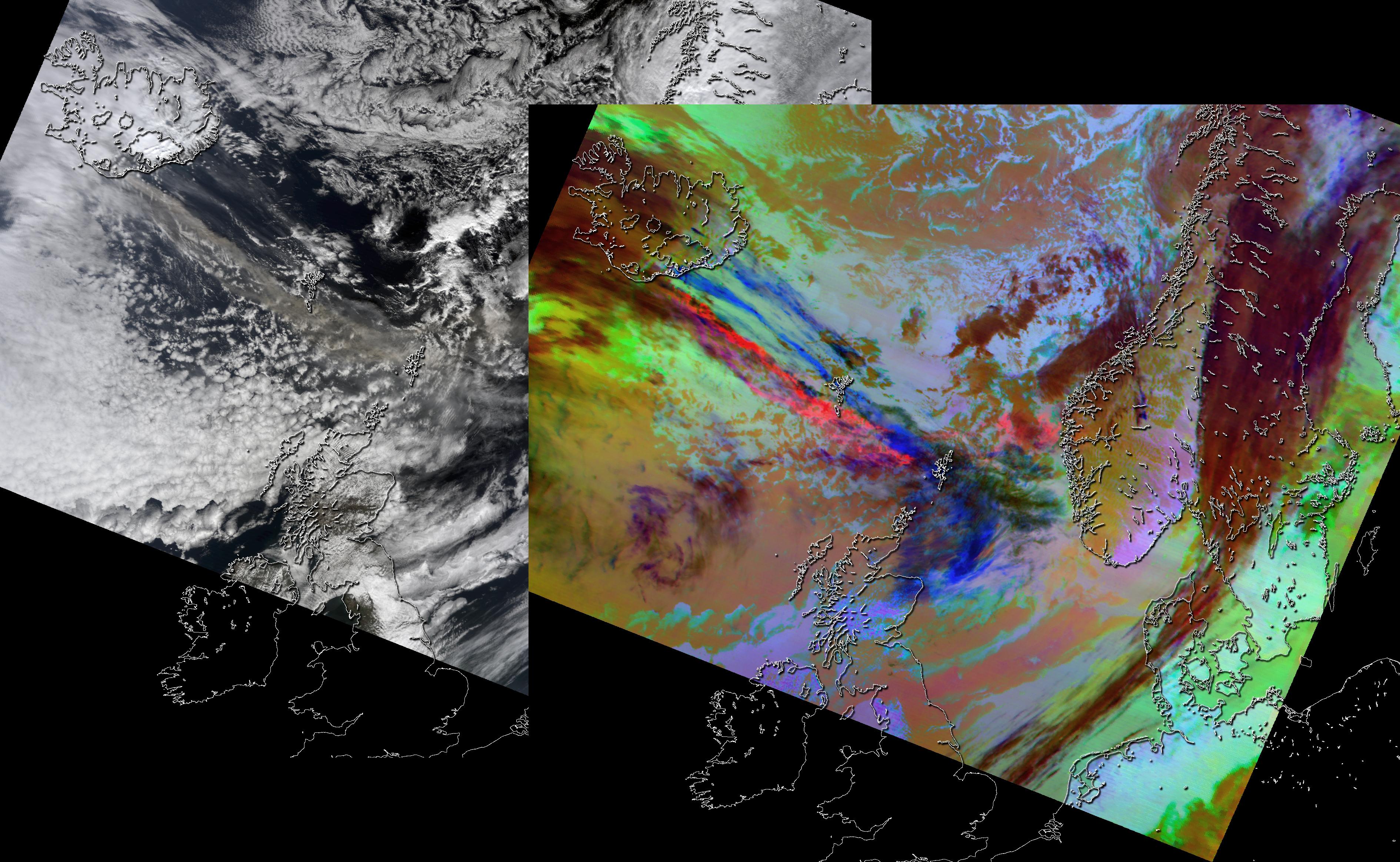
PIA13144:
-
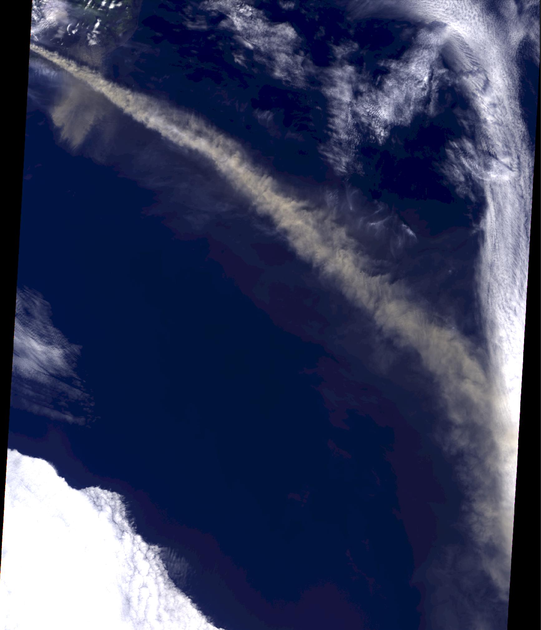
Eyjafjallajökull Ash Continues to Disrupt Air Traffic
Full Resolution:
TIFF
(2.031 MB)
JPEG
(108.2 kB)
|
|
|
2010-05-18 |
Earth
|
Terra
|
MISR
|
2295x2673x3 |
|
-
PIA13143:
-
NASA's MISR Images Continued Spread of Gulf of Mexico Oil Slick
Full Resolution:
TIFF
(18.43 MB)
JPEG
(815.6 kB)
|
|
|
2010-05-14 |
Earth
|
Terra
|
MISR
|
1734x2020x3 |

|
-
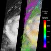
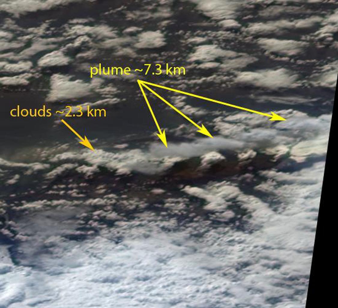
PIA13139:
-
NASA MISR Image Shows Eyjafjallajökull Volcano Plume Heights
Full Resolution:
TIFF
(10.52 MB)
JPEG
(213.9 kB)
|
|
|
2010-05-07 |
Earth
|
Terra
|
ASTER
|
1368x2791x1 |

|
-
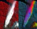
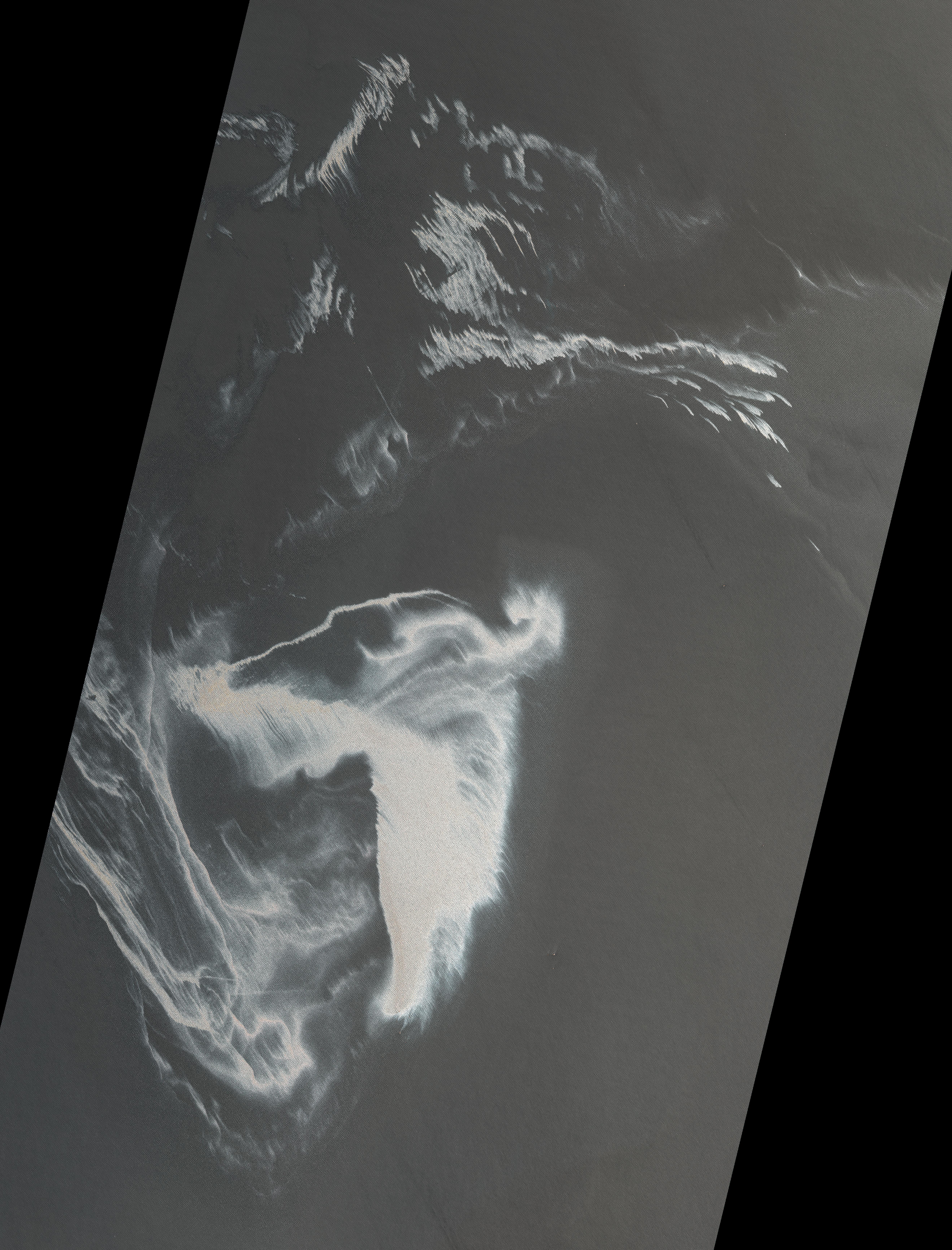
PIA13107:
-
ASTER Views the Gulf of Mexico Oil Spill in Infrared (May 7)
Full Resolution:
TIFF
(3.823 MB)
JPEG
(292 kB)
|
|
|
2010-05-06 |
Earth
|
Terra
|
MISR
|
947x754x1 |

|
-
PIA13099:
-
NASA's MISR Images Gulf of Mexico Oil Slick
Full Resolution:
TIFF
(715 kB)
JPEG
(39.16 kB)
|
|
|
2010-05-05 |
Earth
|
Terra
|
ASTER
|
950x486x3 |
|
-
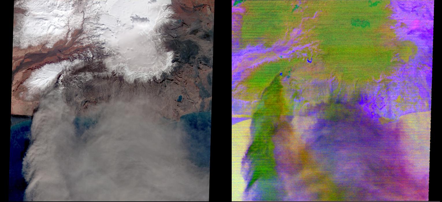
PIA13093:
-
ASTER Images Iceland's Eyjafyallajökull Volcano
Full Resolution:
TIFF
(1.387 MB)
JPEG
(69.67 kB)
|
|
|
2010-05-04 |
Earth
|
Terra
|
ASTER
|
940x607x1 |

|
-
PIA13091:
-
ASTER Views the Gulf of Mexico Oil Spill in Infrared (May 1)
Full Resolution:
TIFF
(571.4 kB)
JPEG
(116.6 kB)
|
|
|
2010-05-03 |
Earth
|
Terra
|
ASTER
|
2664x2108x3 |
|
-
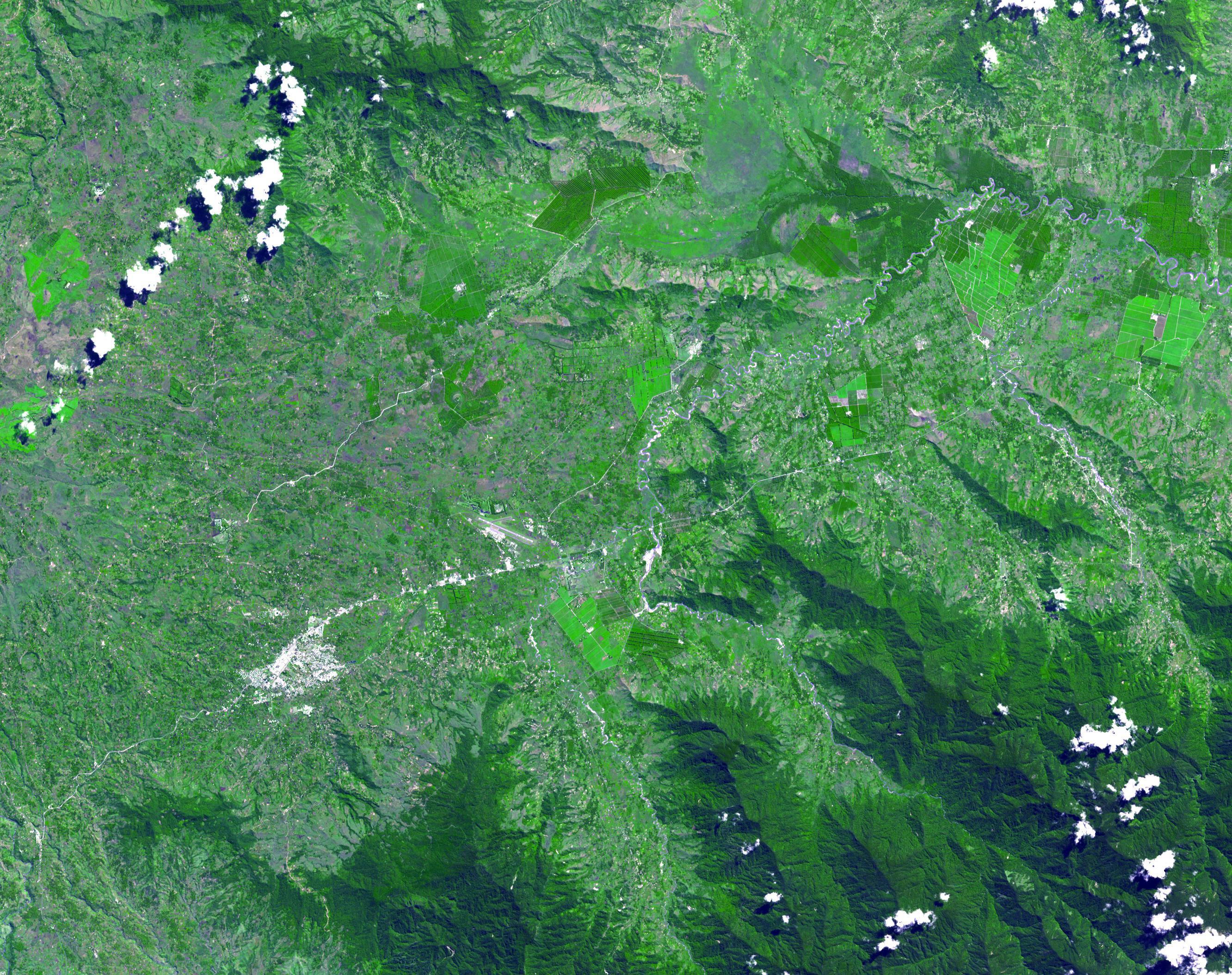
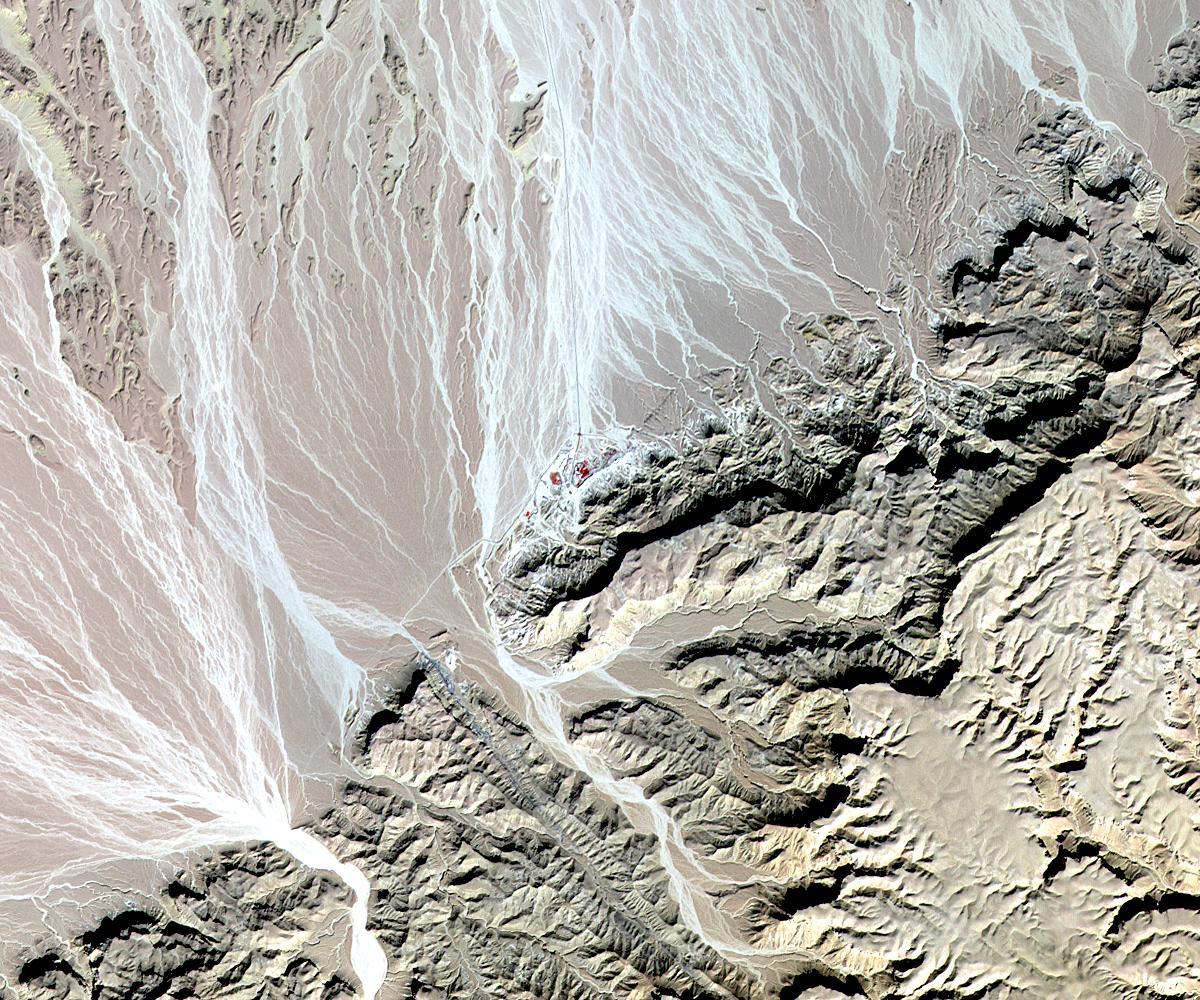
PIA13090:
-
Kuk, New Guinea
Full Resolution:
TIFF
(16.86 MB)
JPEG
(1.336 MB)
|
|
|
2010-05-03 |
Earth
|
Terra
|
ASTER
|
5275x6928x3 |
|
-
PIA13085:
-
ASTER Images Gulf of Mexico Oil Spill
Full Resolution:
TIFF
(109.6 MB)
JPEG
(7.882 MB)
|
|
|
2010-04-23 |
Earth
|
Terra
|
ASTER
|
1530x700x3 |

|
-
PIA13062:
-
NASA's ASTER Instrument Analyzes Ash Plume of Iceland's Eyjafyallajökull Volcano
Full Resolution:
TIFF
(3.219 MB)
JPEG
(142.2 kB)
|
|
|
2010-04-21 |
Earth
|
Terra
|
MISR
|
5814x2778x3 |
|
-
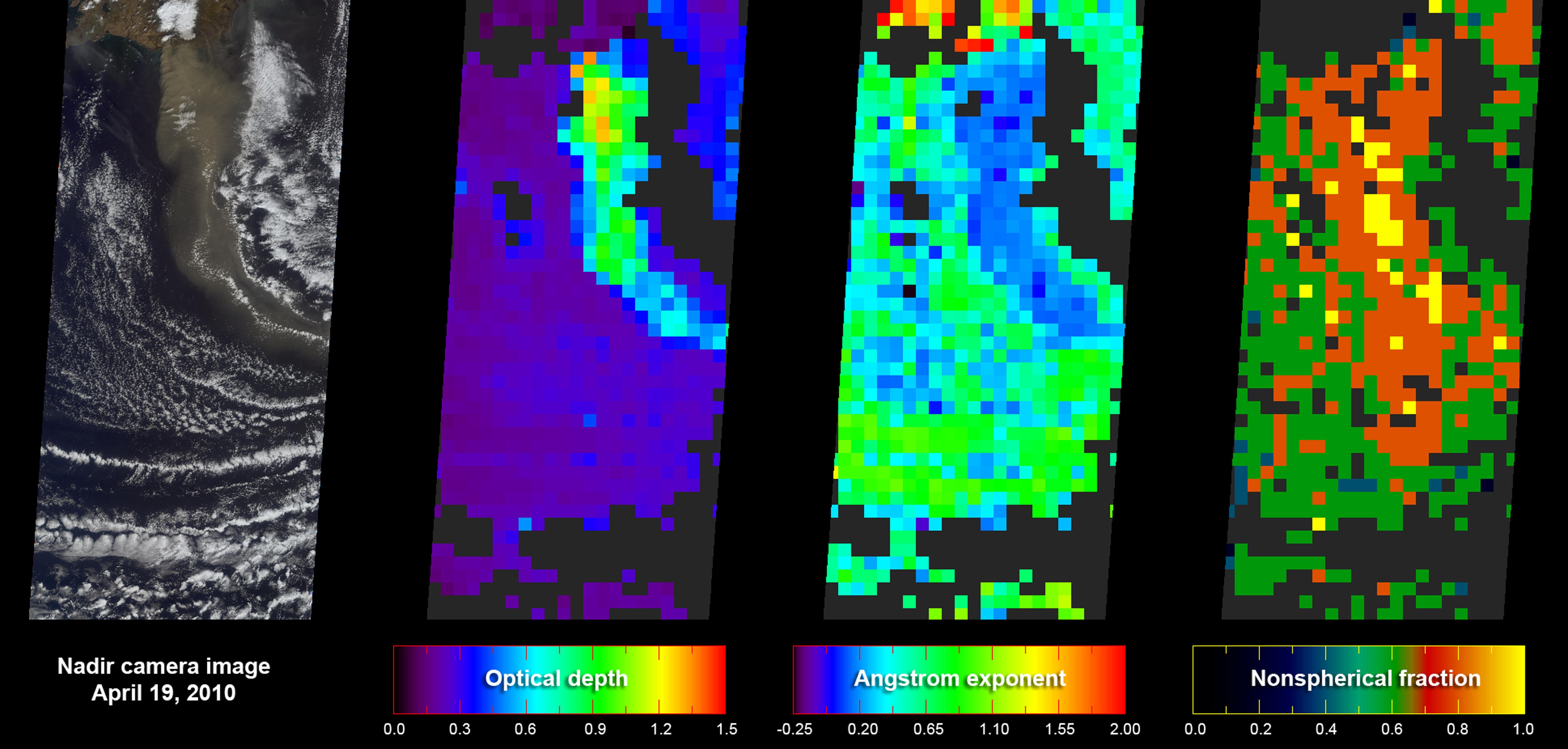
PIA13060:
-
Eyjafjallajökull Ash Plume Particle Properties
Full Resolution:
TIFF
(48.45 MB)
JPEG
(871.2 kB)
|
|
|
2010-04-20 |
Earth
|
Terra
|
MISR
|
1500x1015x3 |
|
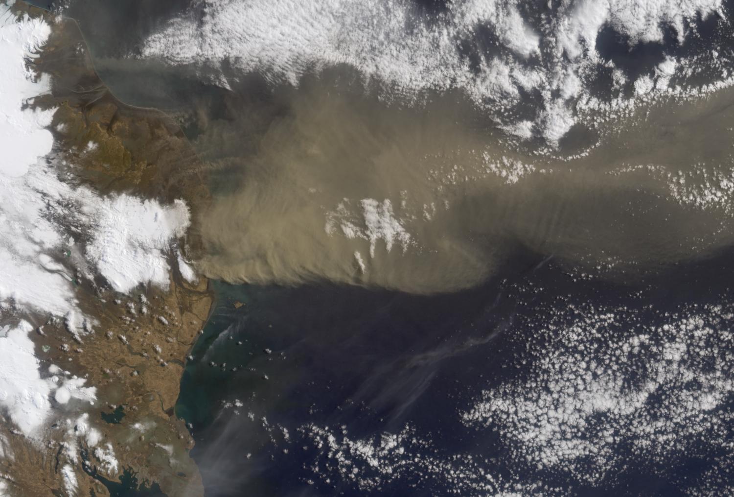
-
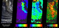
PIA13052:
-
Heights of the Eyjafjallajökull Eruption Plume - April 19, 2010
Full Resolution:
TIFF
(4.576 MB)
JPEG
(192.9 kB)
|
|
|
2010-04-20 |
Earth
|
Terra
|
MISR
|
1500x1015x3 |
|
-
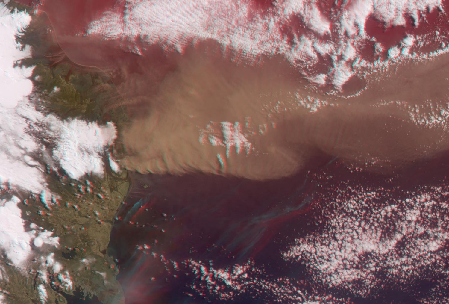
PIA13051:
-
Heights of the Eyjafjallajökull Eruption Plume - April 19, 2010 (Anaglyph)
Full Resolution:
TIFF
(4.576 MB)
JPEG
(188.7 kB)
|
|
|
2010-04-19 |
Earth
|
Terra
|
ASTER
|
3908x3132x3 |
|
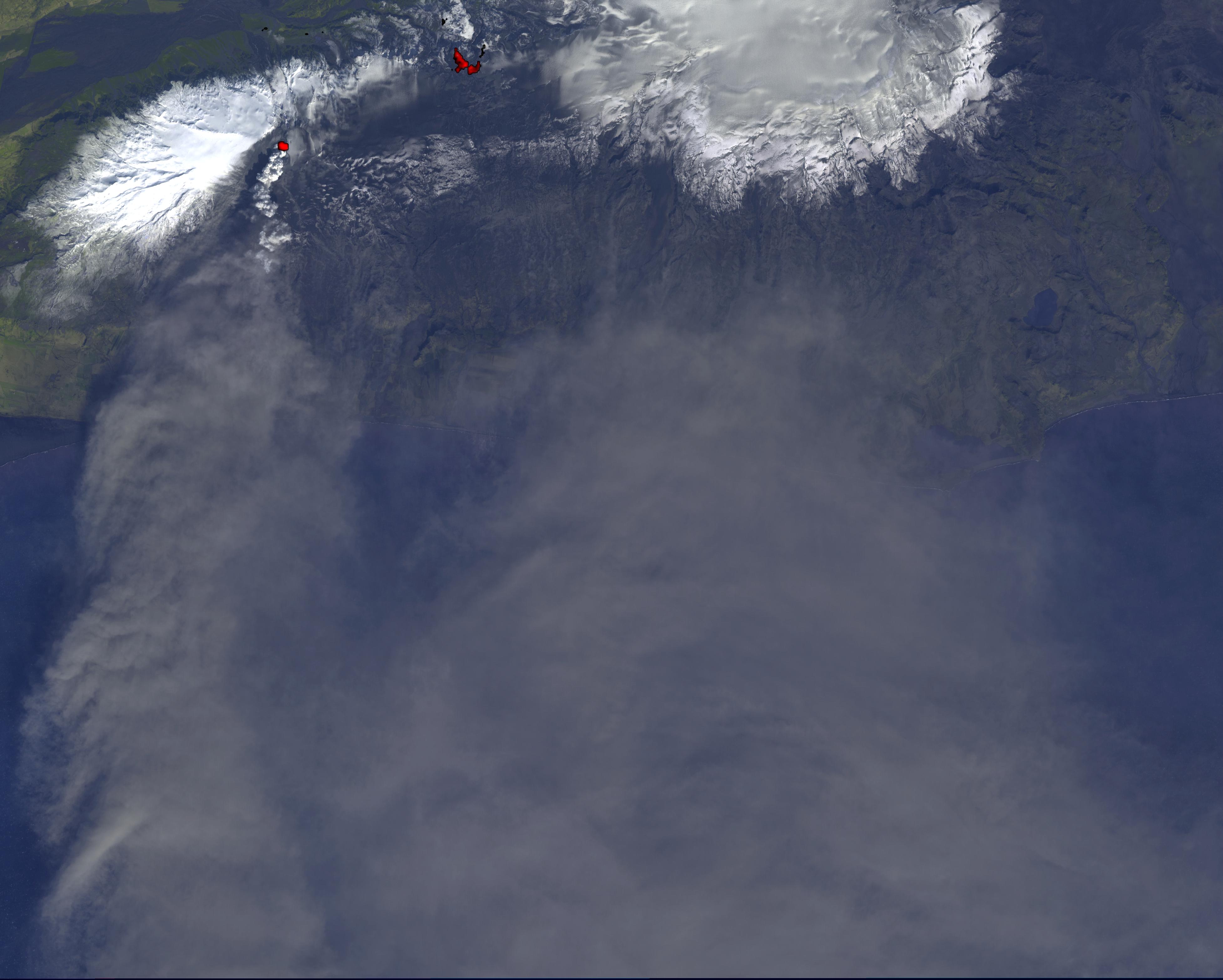
-
PIA13049:
-
NASA Satellite Tracks Continued Eruption of Iceland Volcano
Full Resolution:
TIFF
(17.84 MB)
JPEG
(669 kB)
|
|
|
2010-04-18 |
Earth
|
Terra
|
MISR
|
1126x1024x3 |
|
-
PIA13047:
-
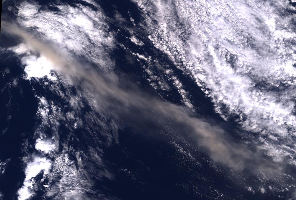
Ash from Eyjafjallajökull Volcano, Iceland Stretches over the North Atlantic
Full Resolution:
TIFF
(3.463 MB)
JPEG
(127.5 kB)
|
|
|
2010-04-16 |
Earth
|
Terra
|
MODIS
|
3780x2328x3 |
|
-
PIA13046:
-
NASA Satellite Images Provide Insights Into Iceland Volcanic Plume
Full Resolution:
TIFF
(26.4 MB)
JPEG
(1.262 MB)
|
|
|
2010-04-16 |
Earth
|
Terra
|
ASTER
|
2066x1788x3 |
|
-
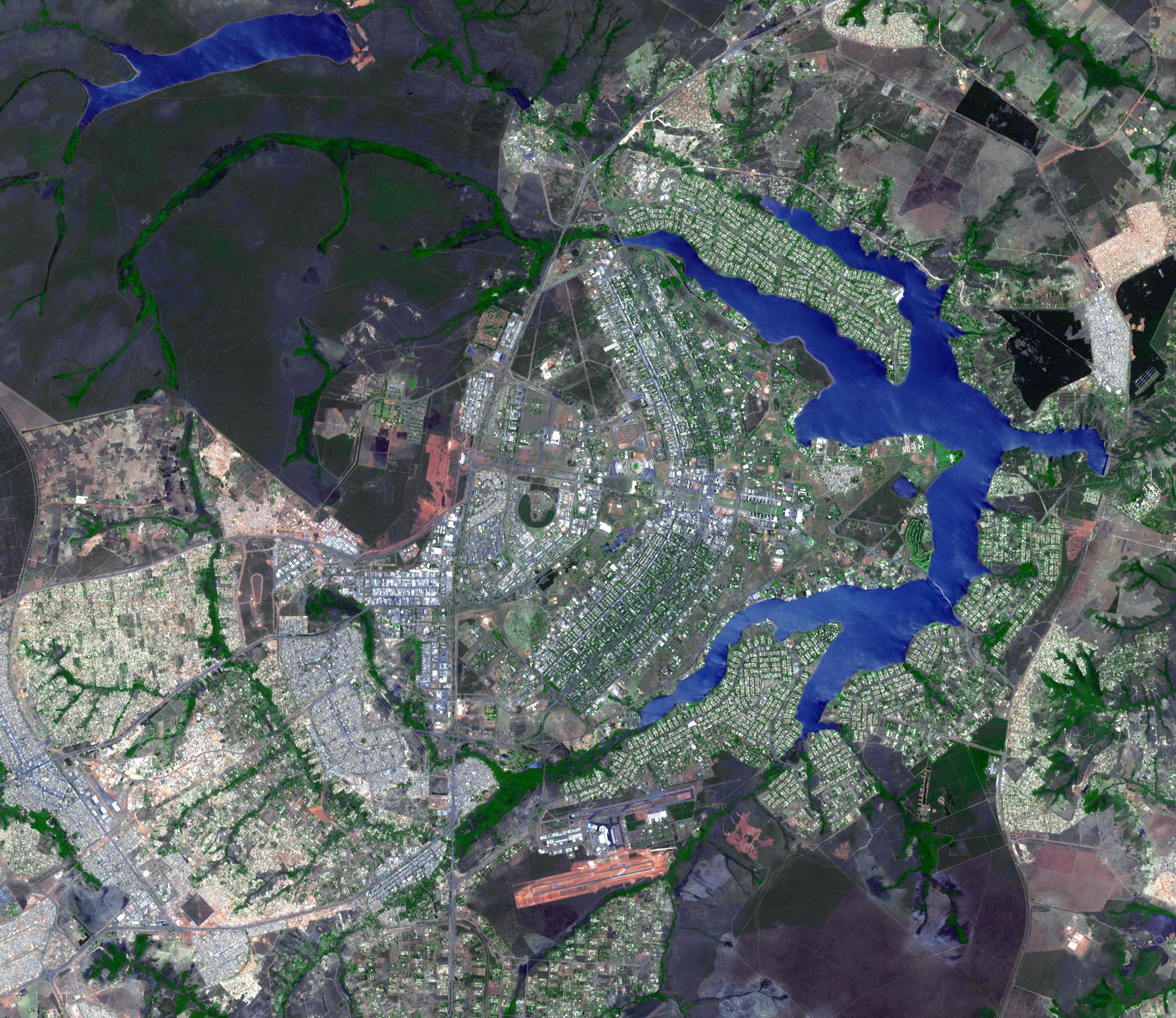
PIA13045:
-
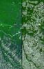
Brasilia, Brazil
Full Resolution:
TIFF
(11.1 MB)
JPEG
(802.9 kB)
|
|
|
2010-04-09 |
Earth
|
Terra
|
ASTER
|
4000x4200x3 |
|
-
PIA13027:
-
NASA Satellite Imagery Shows Sparse Population of Region Near Baja, California Earthquake
Full Resolution:
TIFF
(50.4 MB)
JPEG
(2.788 MB)
|
|
|
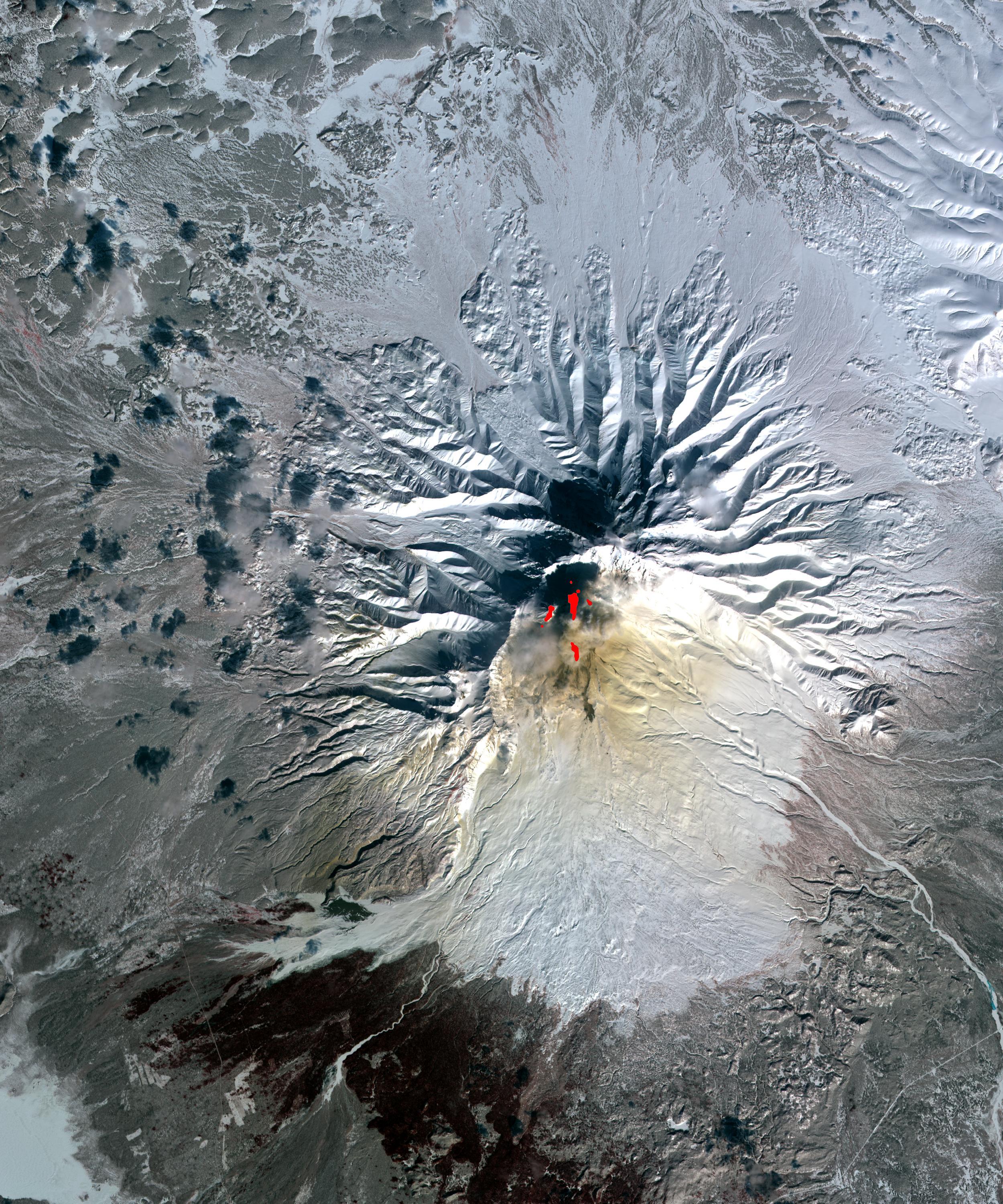
2010-04-05 |
Earth
|
Terra
|
ASTER
|
2500x3000x3 |
|
-
PIA13010:
-
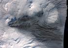
Sheveluch Volcano, Kamchatka, Russia
Full Resolution:
TIFF
(22.52 MB)
JPEG
(1.502 MB)
|
|
|
2010-03-24 |
Earth
|
Terra
|
ASTER
|
1516x1962x3 |
|
-
PIA12878:
-
Huron, South Dakota
Full Resolution:
TIFF
(8.939 MB)
JPEG
(632.3 kB)
|
|
|
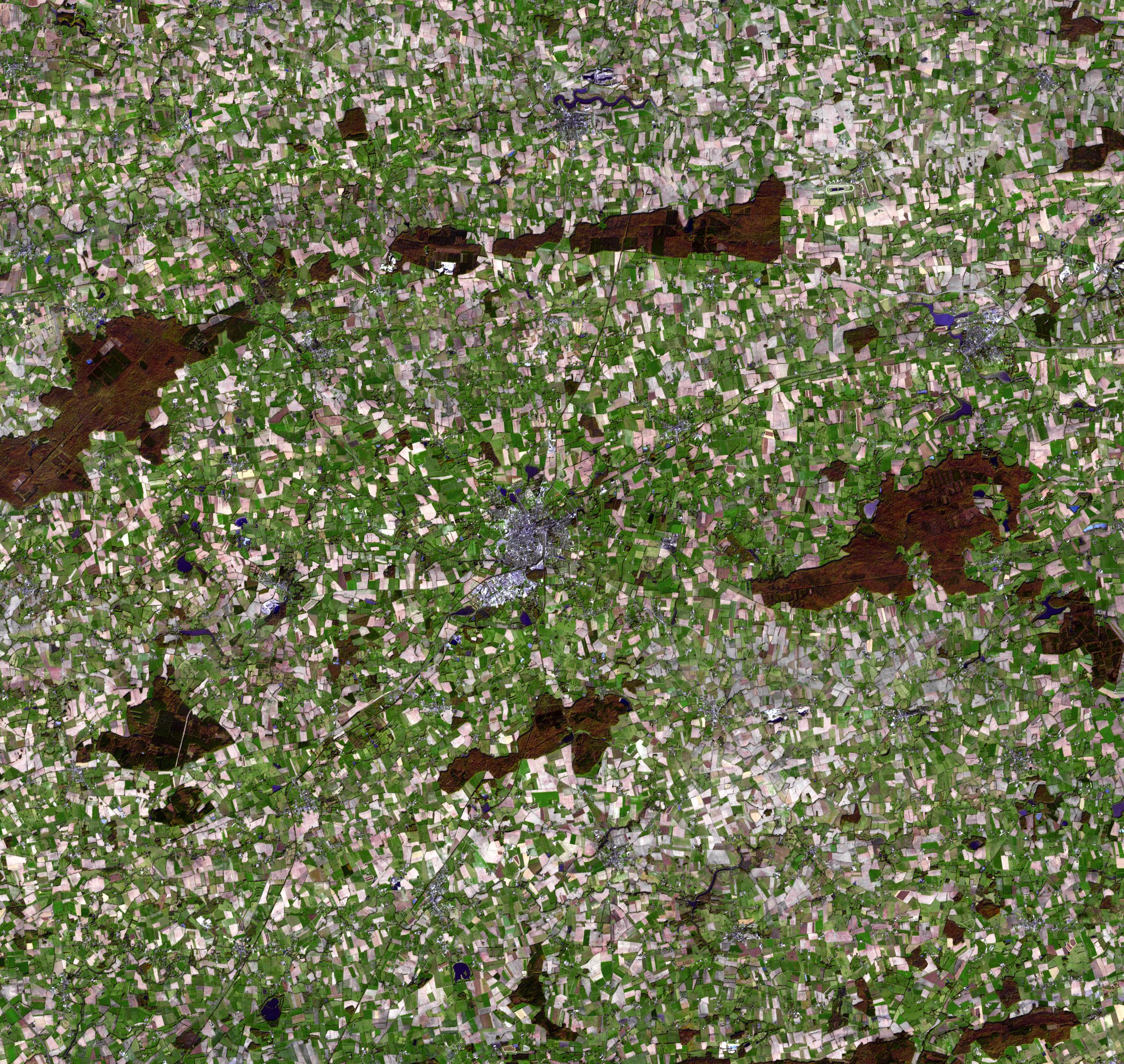
2010-03-08 |
Earth
|
Terra
|
ASTER
|
2403x2274x3 |

|
-
PIA12866:
-
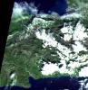
Chateaubriant, France
Full Resolution:
TIFF
(16.41 MB)
JPEG
(1.497 MB)
|
|
|
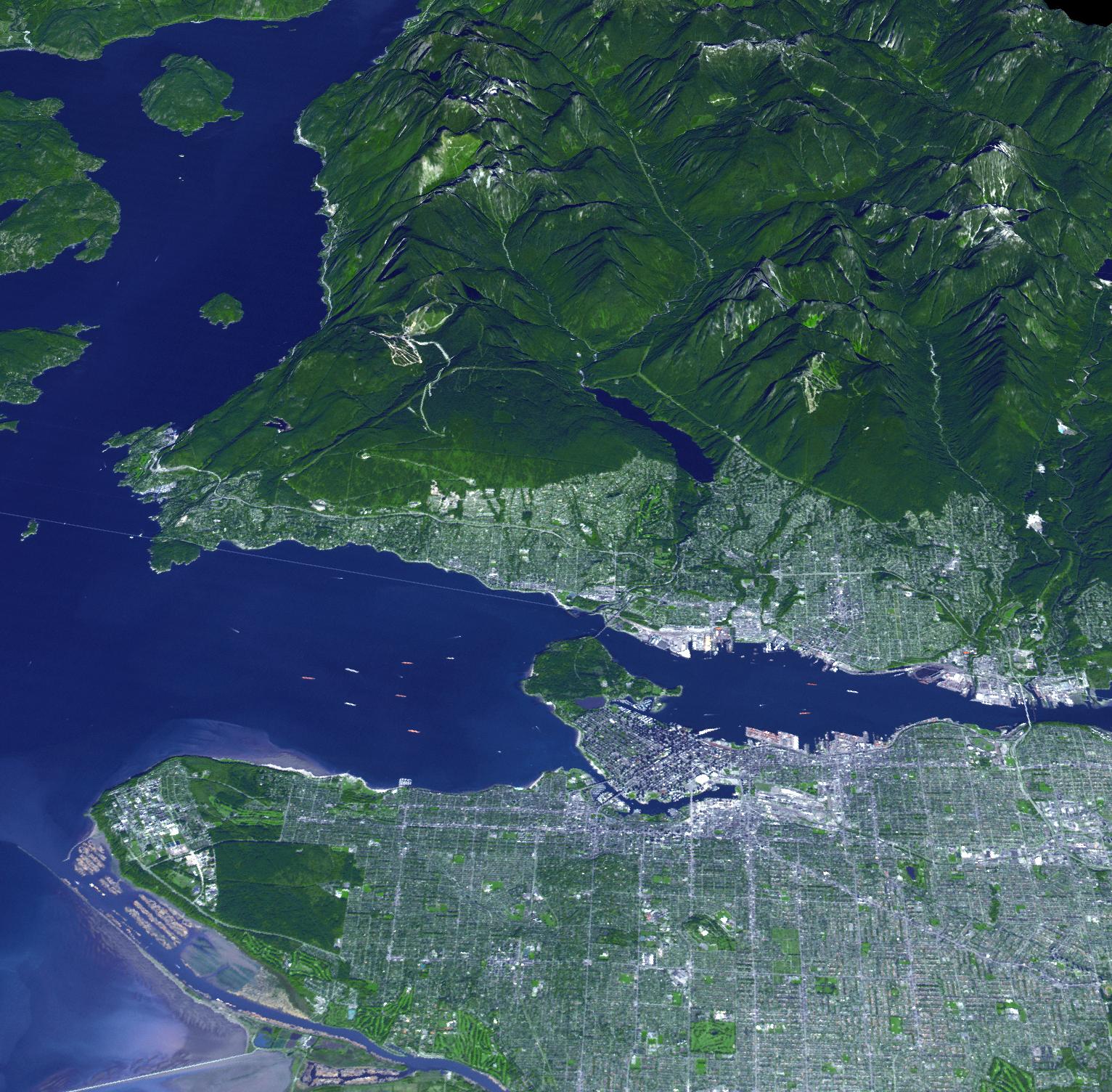
2010-02-16 |
Earth
|
Terra
|
ASTER
|
1532x1504x3 |
|
-
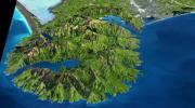
PIA12838:
-
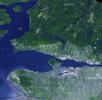
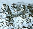
Vancouver Olympic Site Captures a Gold for Natural Grandeur
Full Resolution:
TIFF
(6.925 MB)
JPEG
(445.2 kB)
|
|
|
2010-02-08 |
Earth
|
Terra
|
ASTER
|
1200x1000x3 |
|
-
PIA12506:
-
St. Anthony's Monastery, Egypt
Full Resolution:
TIFF
(3.604 MB)
JPEG
(340.3 kB)
|
|
|
2010-01-28 |
Earth
|
Terra
|
ASTER
|
2910x1887x3 |

|
-
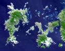
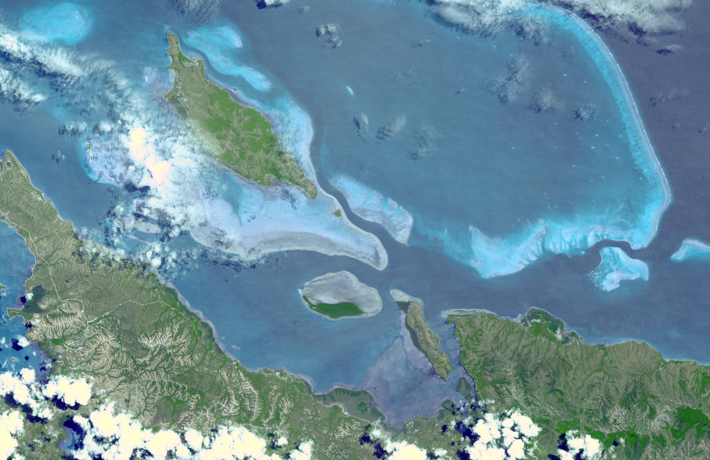
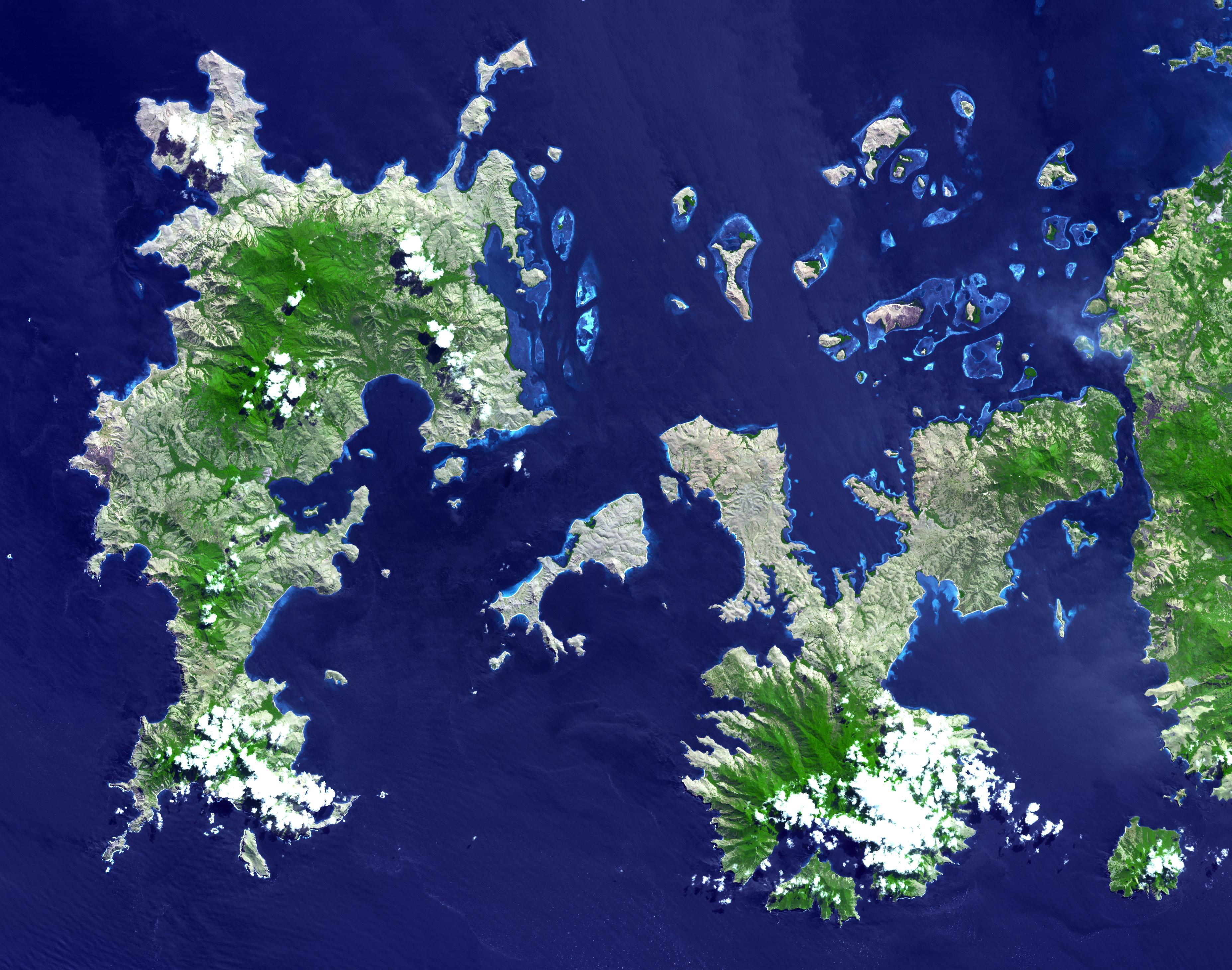
PIA12502:
-
Lagoons of New Caledonia
Full Resolution:
TIFF
(16.47 MB)
JPEG
(630.7 kB)
|
|
|
2010-01-22 |
Earth
|
Terra
|
ASTER
|
2500x2500x3 |
|
-
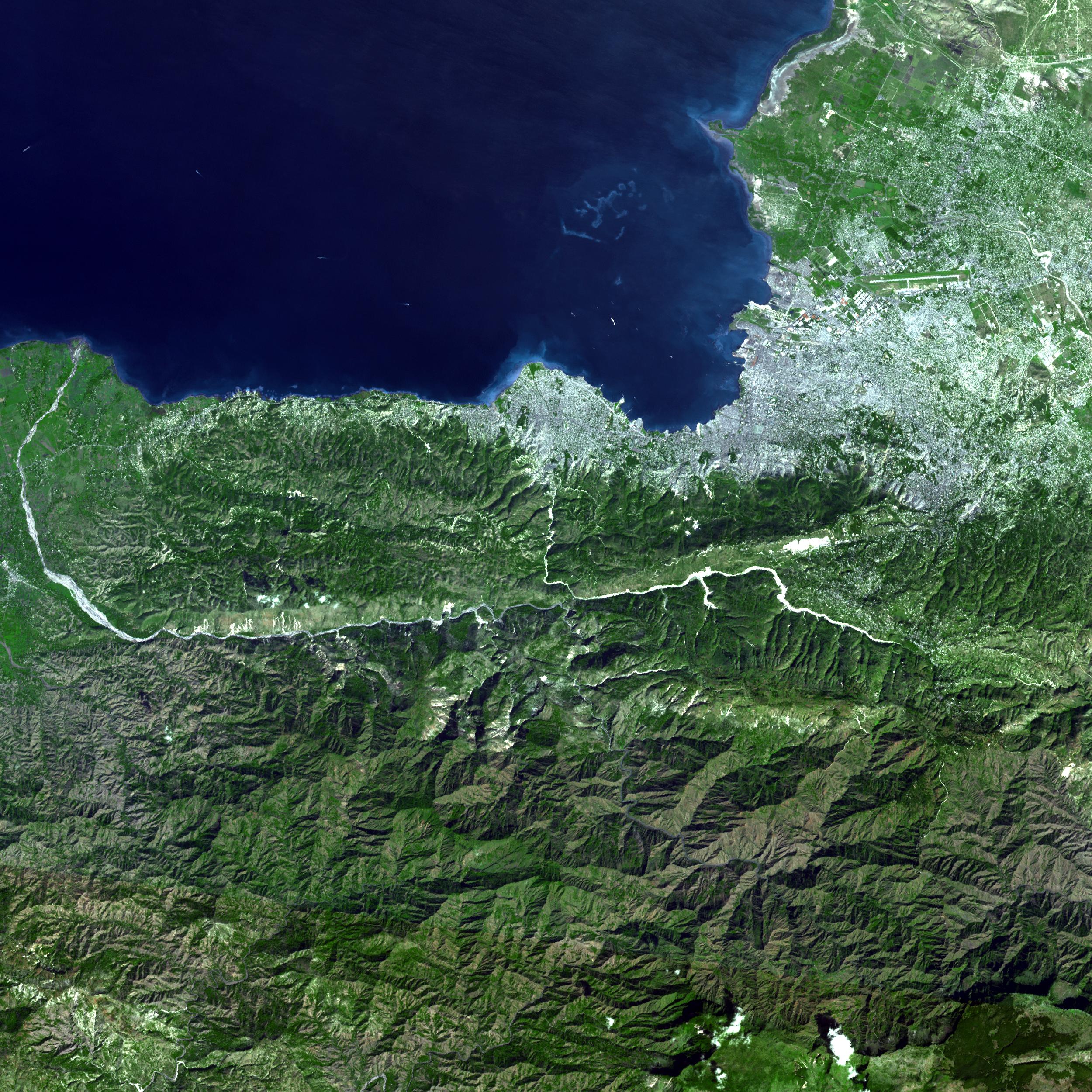
PIA12498:
-
ASTER Captures Clear Sky Image of Haiti Earthquake Region
Full Resolution:
TIFF
(18.77 MB)
JPEG
(1.289 MB)
|
|
|
2010-01-18 |
Earth
|
Terra
|
ASTER
|
3266x3374x3 |
|
-
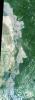
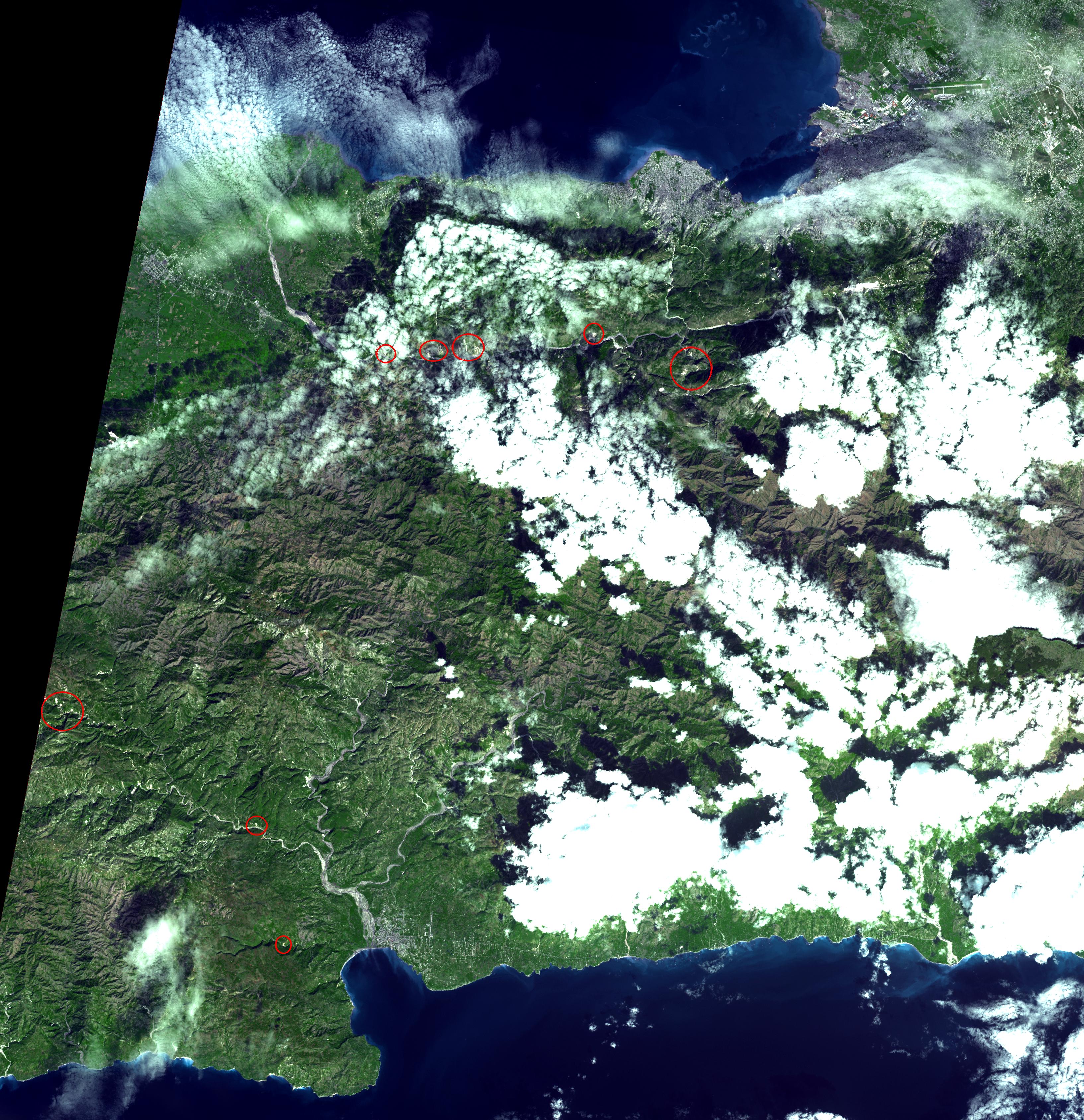
PIA12495:
-
Haiti Earthquake Landslides
Full Resolution:
TIFF
(33.06 MB)
JPEG
(1.889 MB)
|
|
|
2010-01-11 |
Earth
|
Terra
|
ASTER
|
3892x2344x3 |
|
-
PIA12487:
-
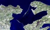
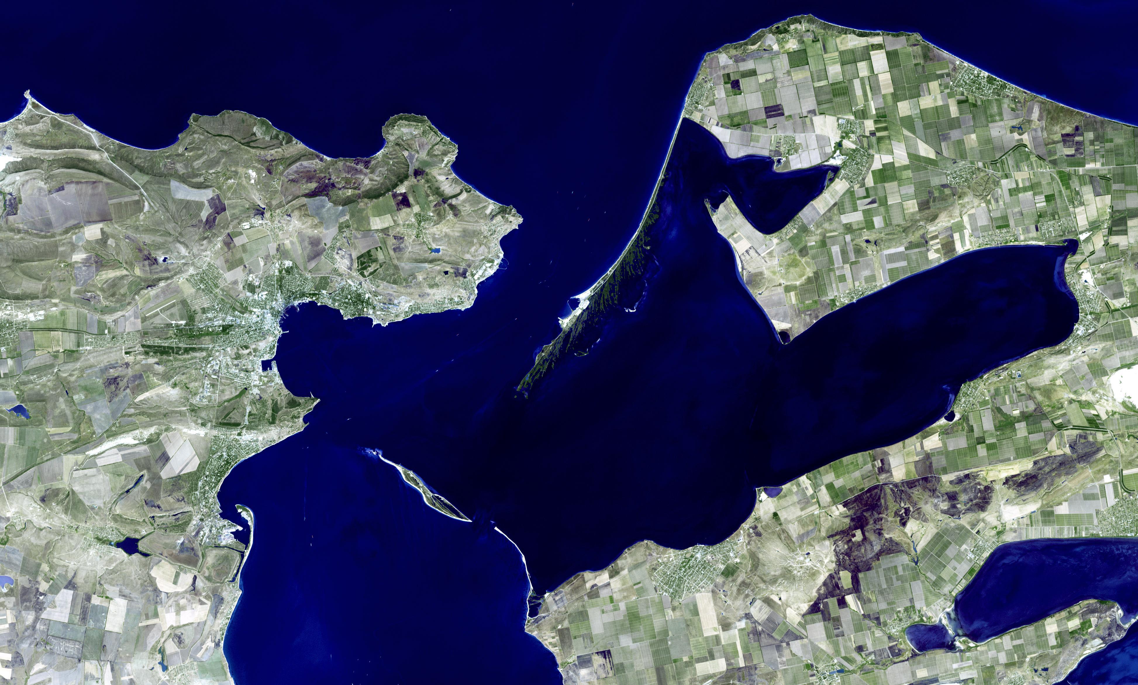
Kerch, Ukraine
Full Resolution:
TIFF
(27.37 MB)
JPEG
(1.121 MB)
|
|
|
2009-12-08 |
Earth
|
Terra
|
ASTER
|
5250x2434x3 |
|
-
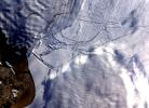
PIA12472:
-
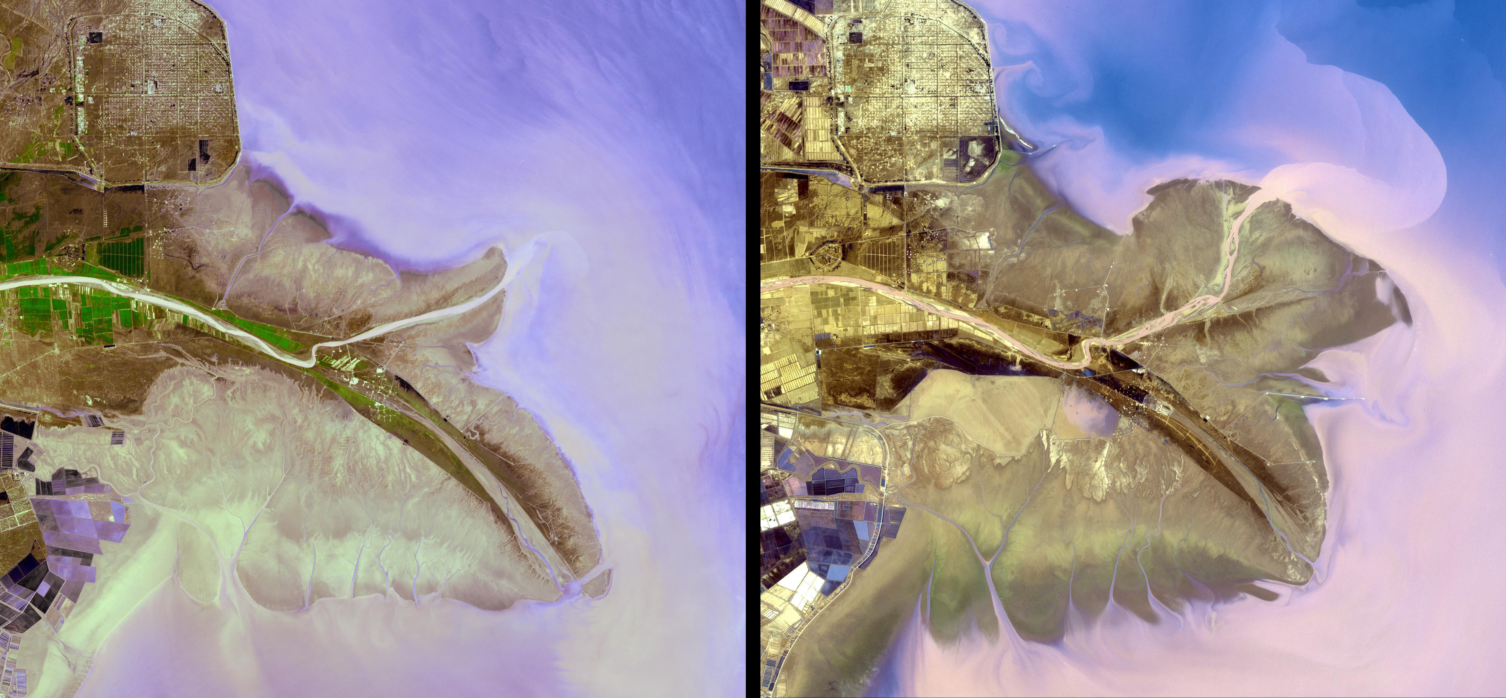
Yellow River Delta, China
Full Resolution:
TIFF
(38.34 MB)
JPEG
(1.671 MB)
|
|
|
2009-11-10 |
Earth
|
Terra
|
MISR
|
1278x1947x1 |
|
-
PIA12349:
-
MISR High-Resolution, Cross-Track Winds for Hurricane Ida
Full Resolution:
TIFF
(2.491 MB)
JPEG
(195.6 kB)
|
|
|
2009-11-02 |
Earth
|
Terra
|
ASTER
|
3900x4331x3 |
|
-
PIA12461:
-
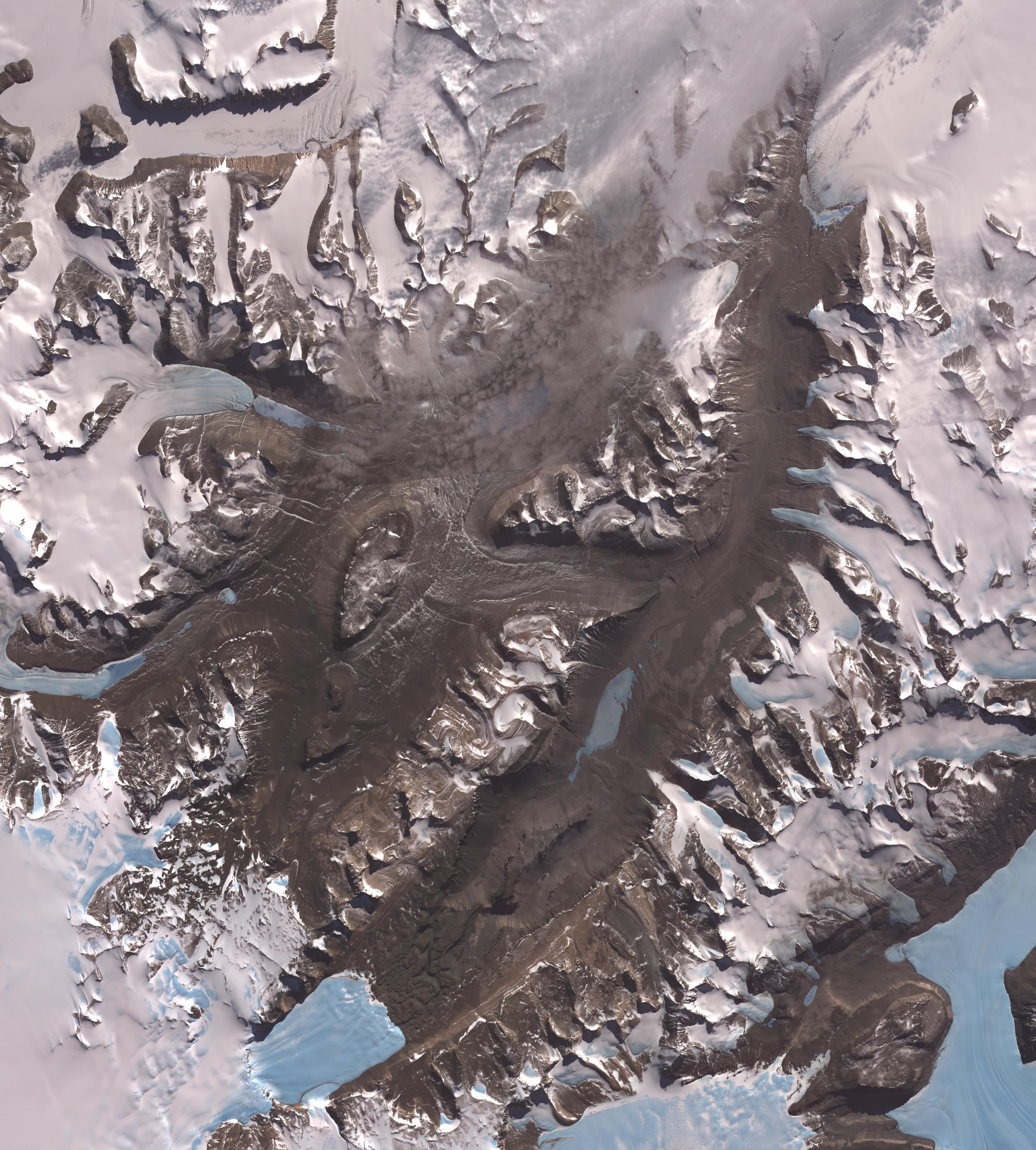
Dry Valleys, Antarctica
Full Resolution:
TIFF
(50.67 MB)
JPEG
(2.02 MB)
|
|
|
2009-10-22 |
Earth
|
Terra
|
ASTER
|
2356x2239x3 |
|
-
PIA12460:
-
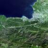
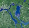
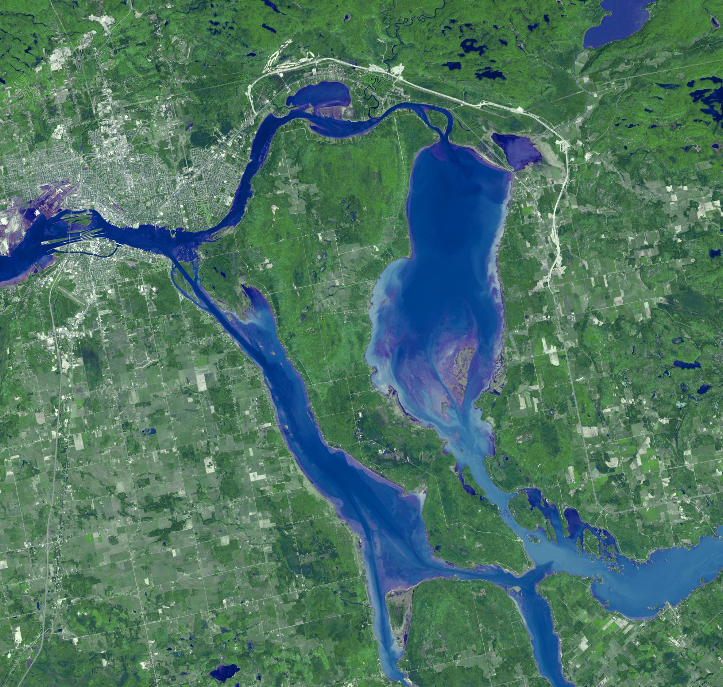
Sault Ste. Marie
Full Resolution:
TIFF
(15.84 MB)
JPEG
(939.8 kB)
|
|
|
2009-10-05 |
Earth
|
Terra
|
ASTER
|
1789x1431x3 |
|
-
PIA12305:
-
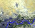
Timbuktu, Mali
Full Resolution:
TIFF
(7.692 MB)
JPEG
(462.1 kB)
|
|
|
2009-10-02 |
Earth
|
Terra
|
ASTER
|
1652x1260x3 |
|
-
PIA12250:
-
Guiberson Fire, Ventura County, Calif.
Full Resolution:
TIFF
(6.255 MB)
JPEG
(535.3 kB)
|
|
|
2009-09-25 |
Earth
|
Terra
|
MISR
|
1659x2051x3 |
|
-
PIA12240:
-
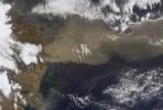
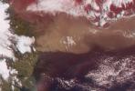
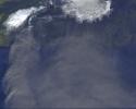
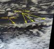
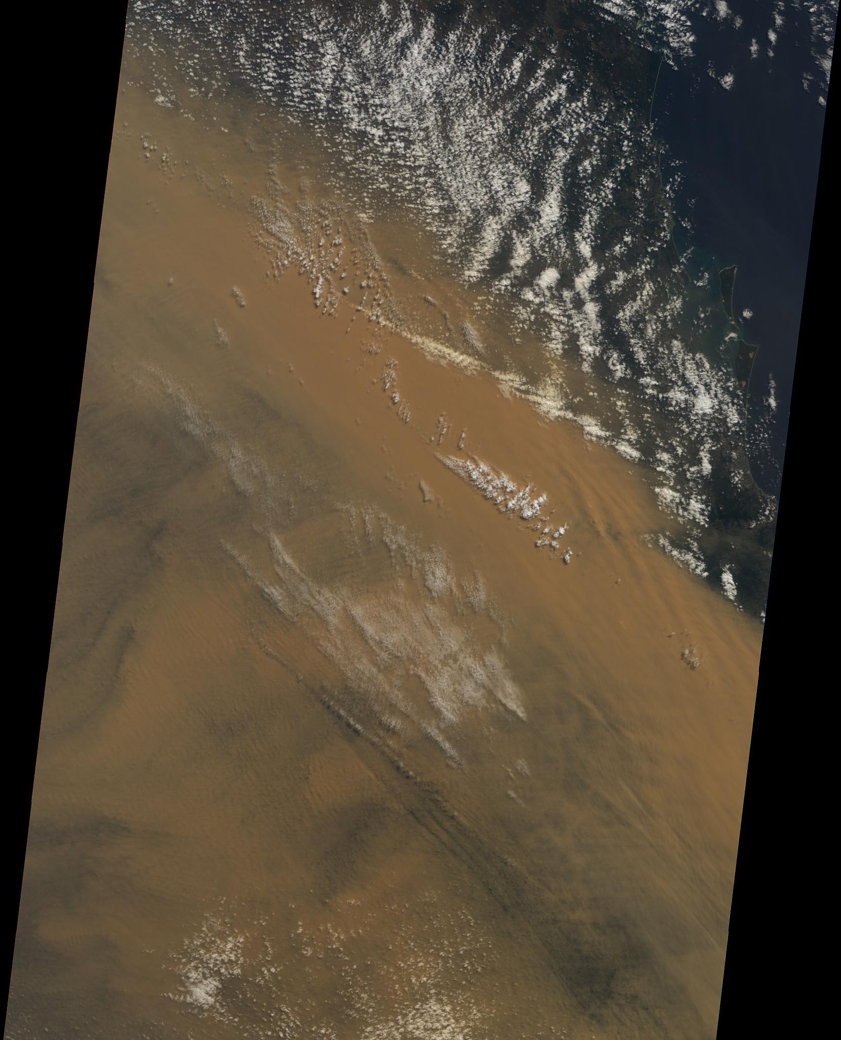
Massive Dust Storm over Australia
Full Resolution:
TIFF
(10.22 MB)
JPEG
(338.3 kB)
|
|
|
2009-09-21 |
Earth
|
Terra
|
ASTER
|
6230x3300x3 |
|
-
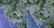
PIA12304:
-
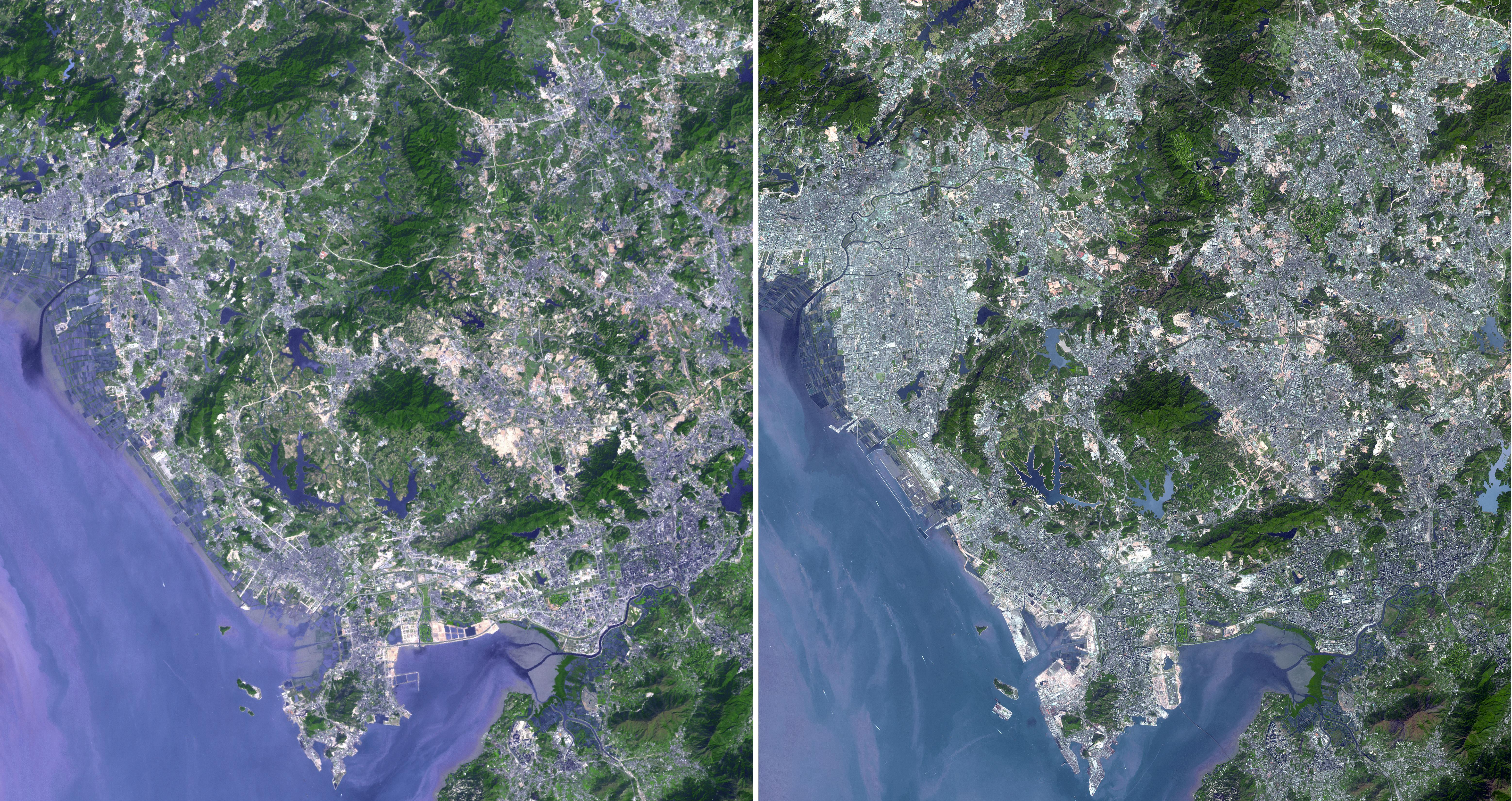
Shenzhen, PRC
Full Resolution:
TIFF
(61.68 MB)
JPEG
(4.722 MB)
|
|
|
2009-09-15 |
Earth
|
Terra
|
ASTER
|
3920x2709x3 |
|
-
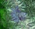
PIA12199:
-
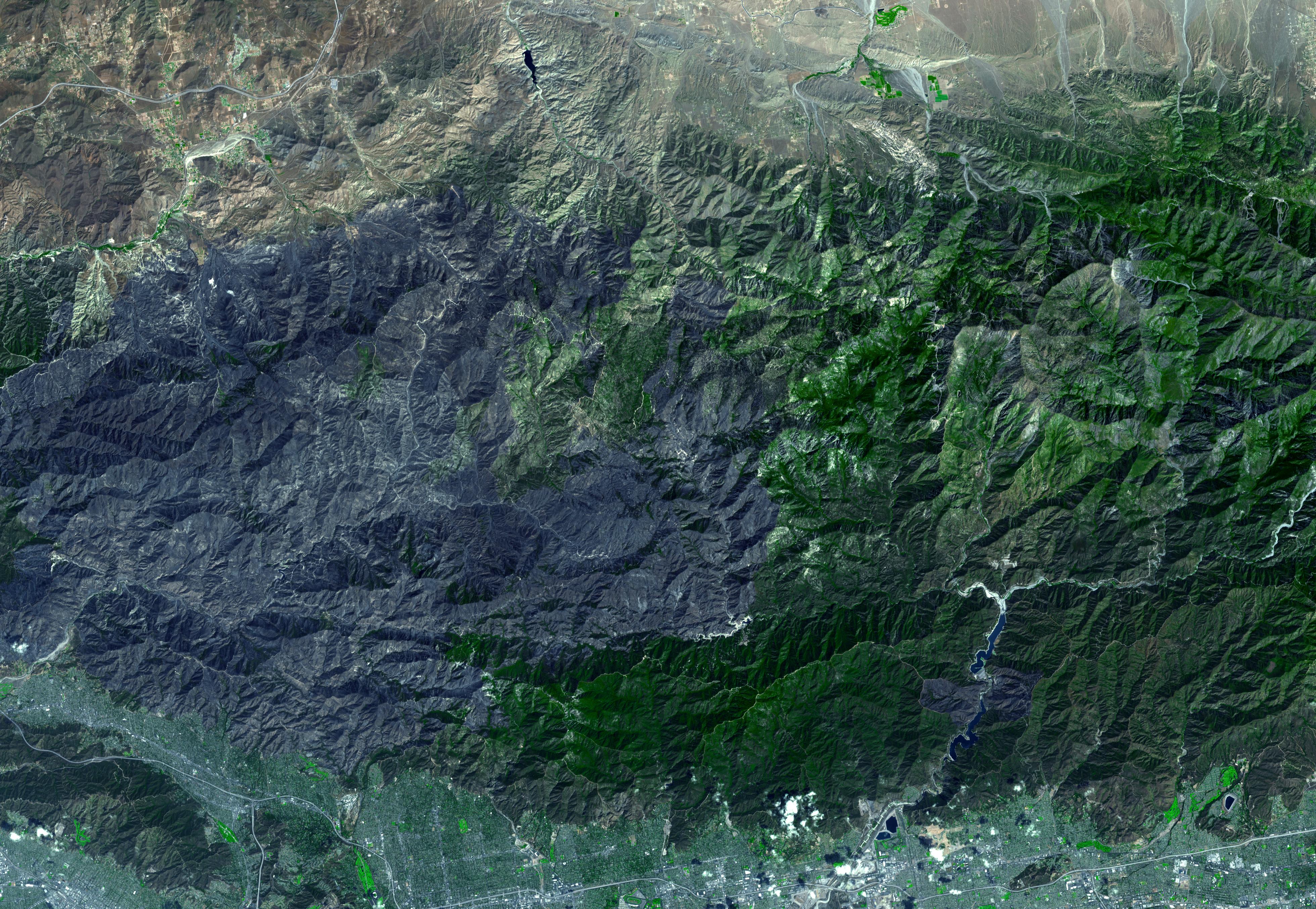
Station Fire Burns in the San Gabriel Mountains Above Los Angeles
Full Resolution:
TIFF
(31.86 MB)
JPEG
(2.289 MB)
|
|
|
2009-09-08 |
Earth
|
Terra
|
ASTER
|
3416x3492x3 |
|
-
PIA12197:
-
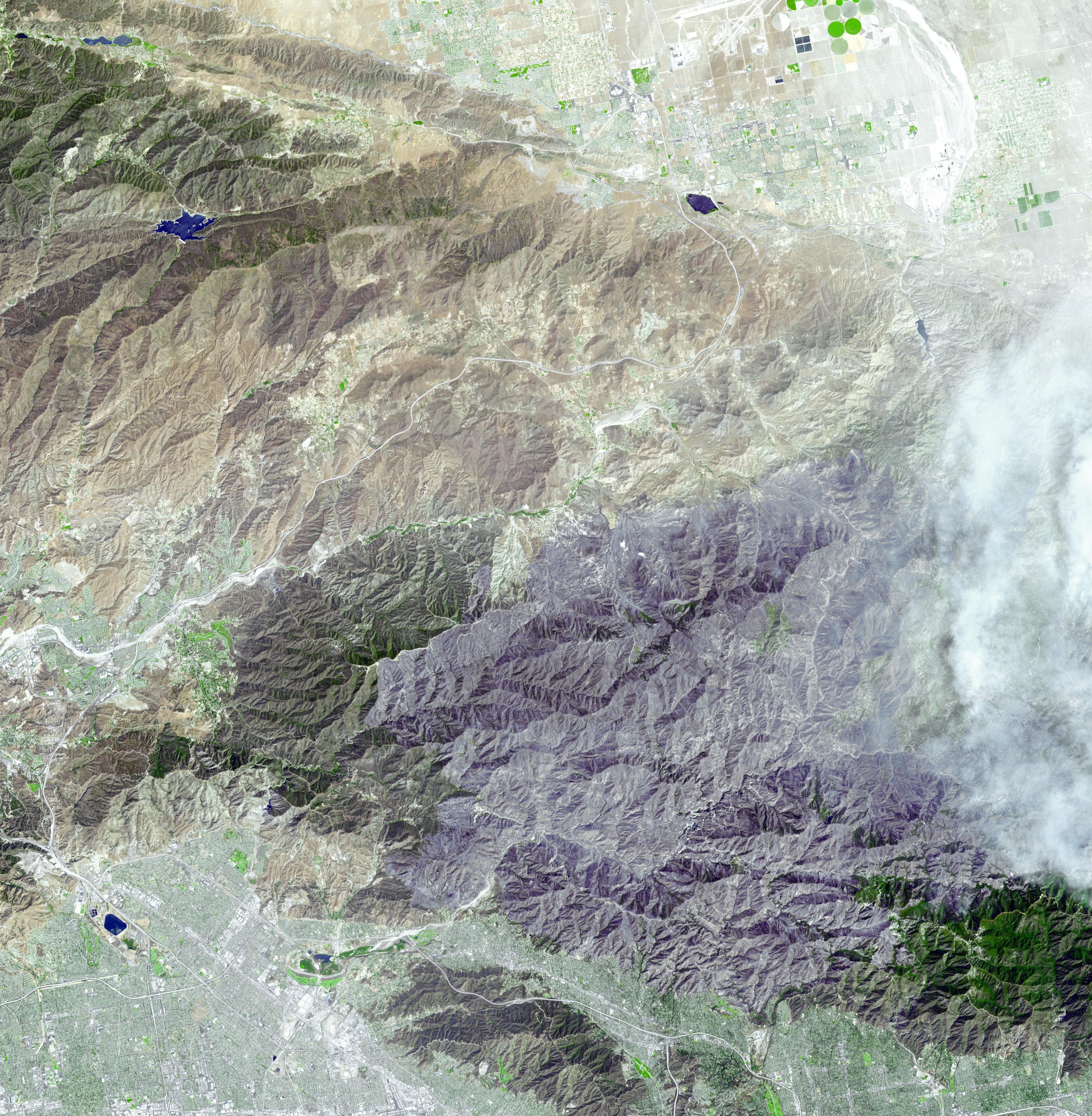
Extent of Station Fire Burn Seen in New NASA Image
Full Resolution:
TIFF
(35.79 MB)
JPEG
(2.482 MB)
|
|
|
2009-09-04 |
Earth
|
Terra
|
MISR
|
1014x810x3 |
|
-
PIA12196:
-
Smoke from Station Fire Blankets Southern California (Anaglyph)
Full Resolution:
TIFF
(2.467 MB)
JPEG
(90.65 kB)
|
|
|
2009-09-01 |
Earth
|
Terra
|
ASTER
|
1200x1000x3 |
|
-
PIA12303:
-
Solar Power, Seville, Spain
Full Resolution:
TIFF
(3.604 MB)
JPEG
(314.5 kB)
|
|
|
2009-09-01 |
Earth
|
Terra
|
MISR
|
891x638x3 |

|
-
PIA12190:
-
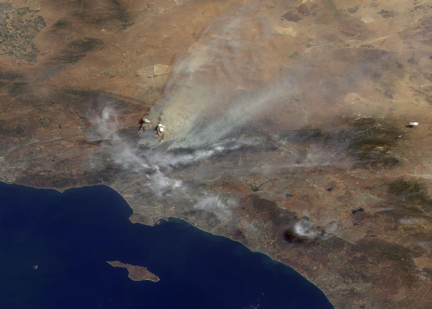
Smoke from Station Fire Blankets Southern California
Full Resolution:
TIFF
(1.707 MB)
JPEG
(63.24 kB)
|
|
|
2009-08-18 |
Earth
|
Terra
|
ASTER
|
1492x1488x3 |
|
-
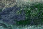
PIA12177:
-
Lhasa, Tibet, China
Full Resolution:
TIFF
(6.672 MB)
JPEG
(548.2 kB)
|
|
|
2009-06-29 |
Earth
|
Terra
|
ASTER
|
1280x720x3 |
|
-
PIA12095:
-
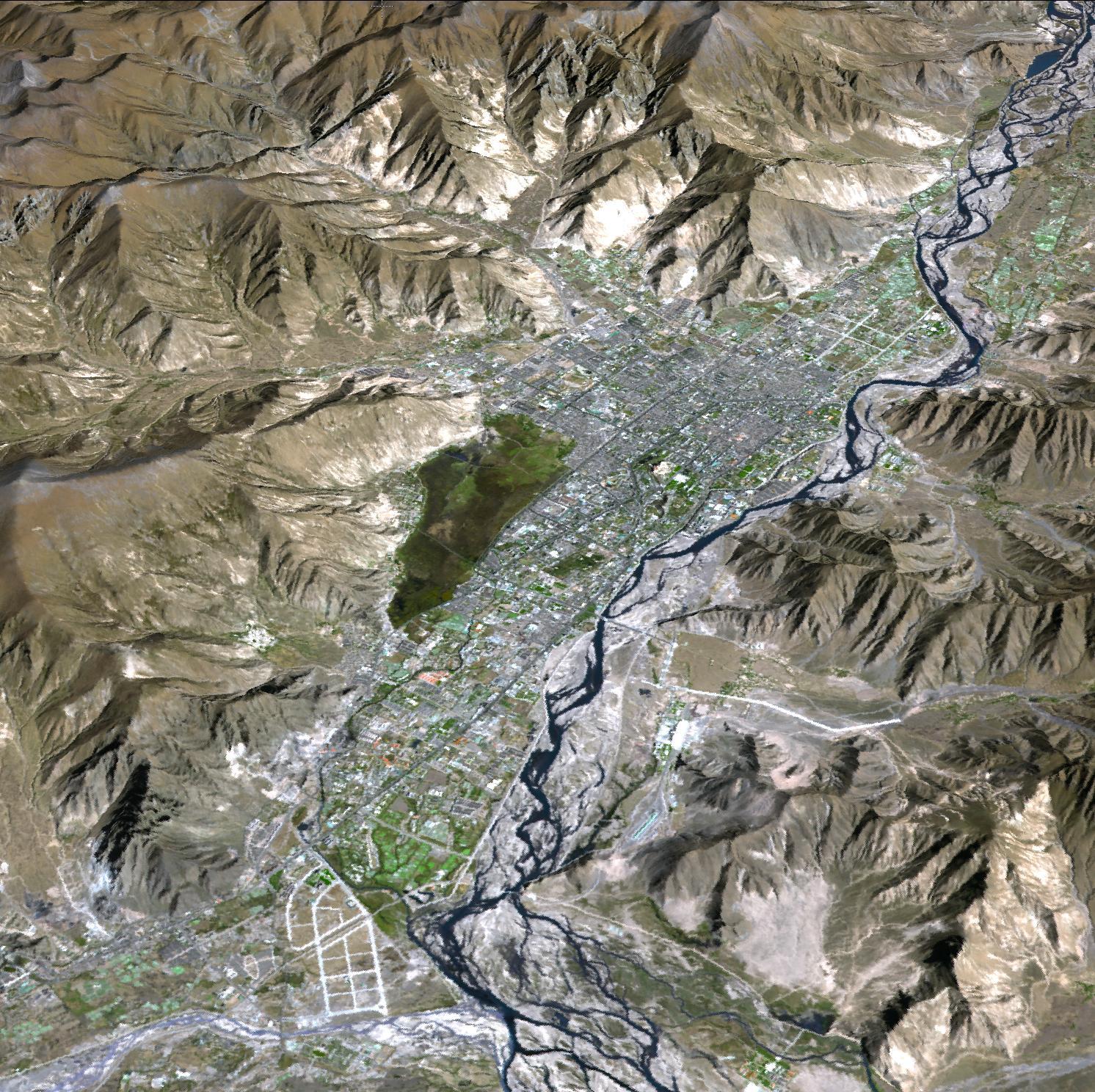
Cruising Over Los Angeles

Full Resolution:
TIFF
(2.768 MB)
JPEG
(86.7 kB)
|
|
|
2009-06-29 |
Earth
|
Terra
|
ASTER
|
1281x718x3 |
|
-
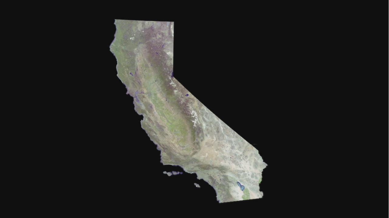
PIA12094:
-
Cruising Over California
Full Resolution:
TIFF
(2.762 MB)
JPEG
(37.04 kB)
|
|
|
2009-06-29 |
Earth
|
Terra
|
ASTER
|
1280x720x3 |
|
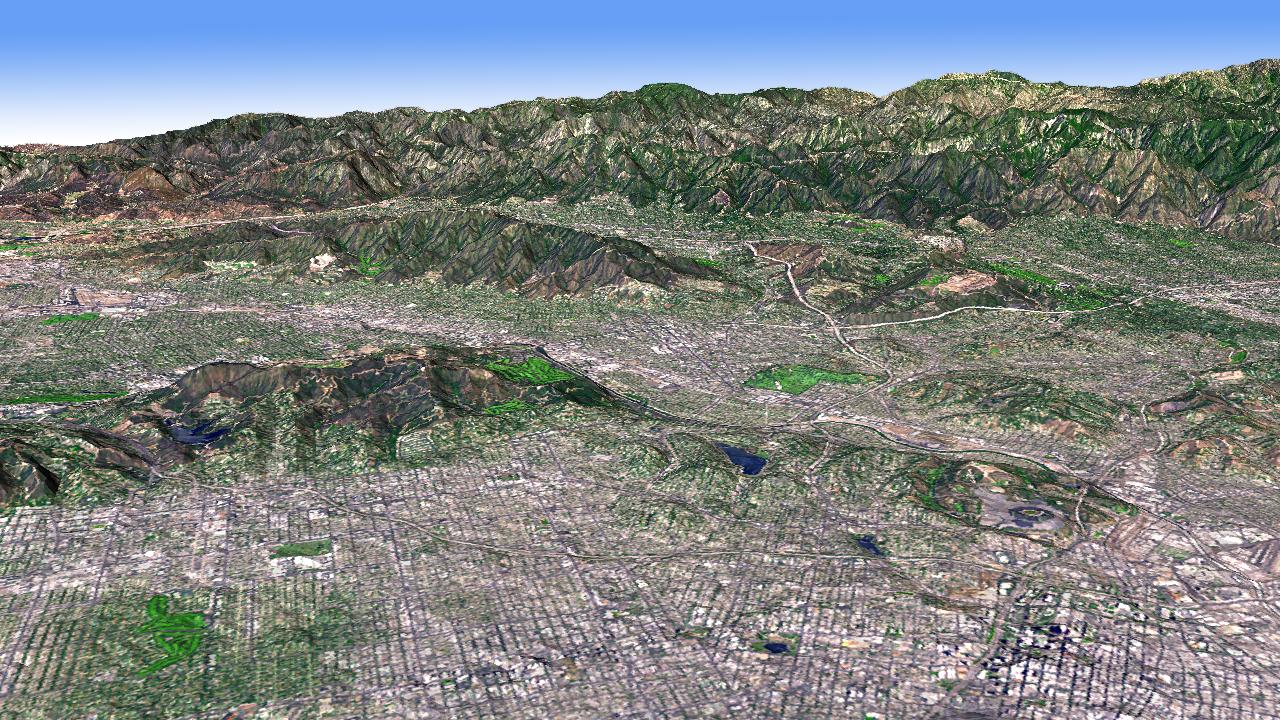
-
PIA12093:
-
Los Angeles Basin
Full Resolution:
TIFF
(2.768 MB)
JPEG
(316.6 kB)
|
|
|
2009-06-29 |
Earth
|
Terra
|
ASTER
|
1556x1370x3 |
|
-
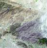
PIA12092:
-
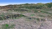
Himalayan Glaciers in Bhutan
Full Resolution:
TIFF
(6.406 MB)
JPEG
(432.9 kB)
|
|
|
2009-06-29 |
Earth
|
Terra
|
ASTER
|
1488x1493x3 |

|
-
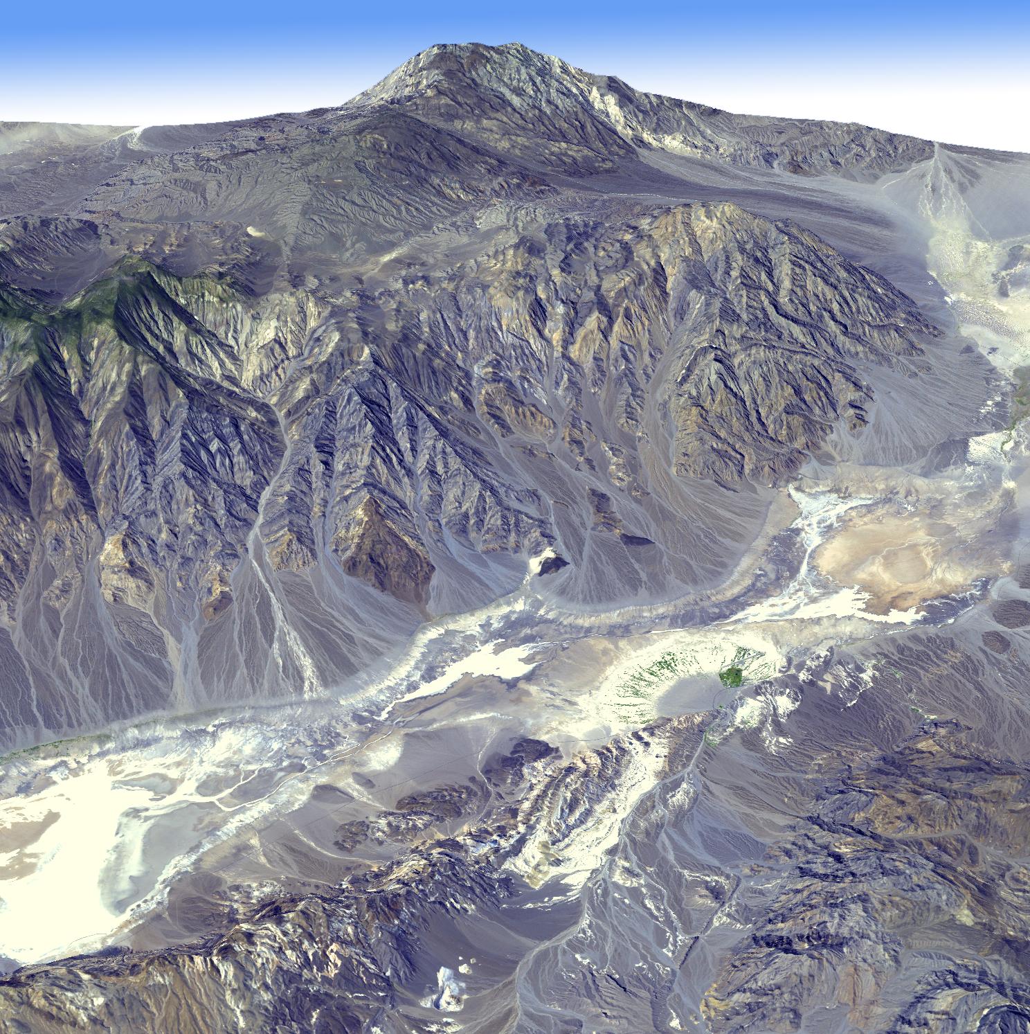
PIA12091:
-
Death Valley, California
Full Resolution:
TIFF
(6.677 MB)
JPEG
(506.6 kB)
|
|
|
2009-06-29 |
Earth
|
Terra
|
ASTER
|
4320x2160x3 |
|
-
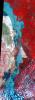
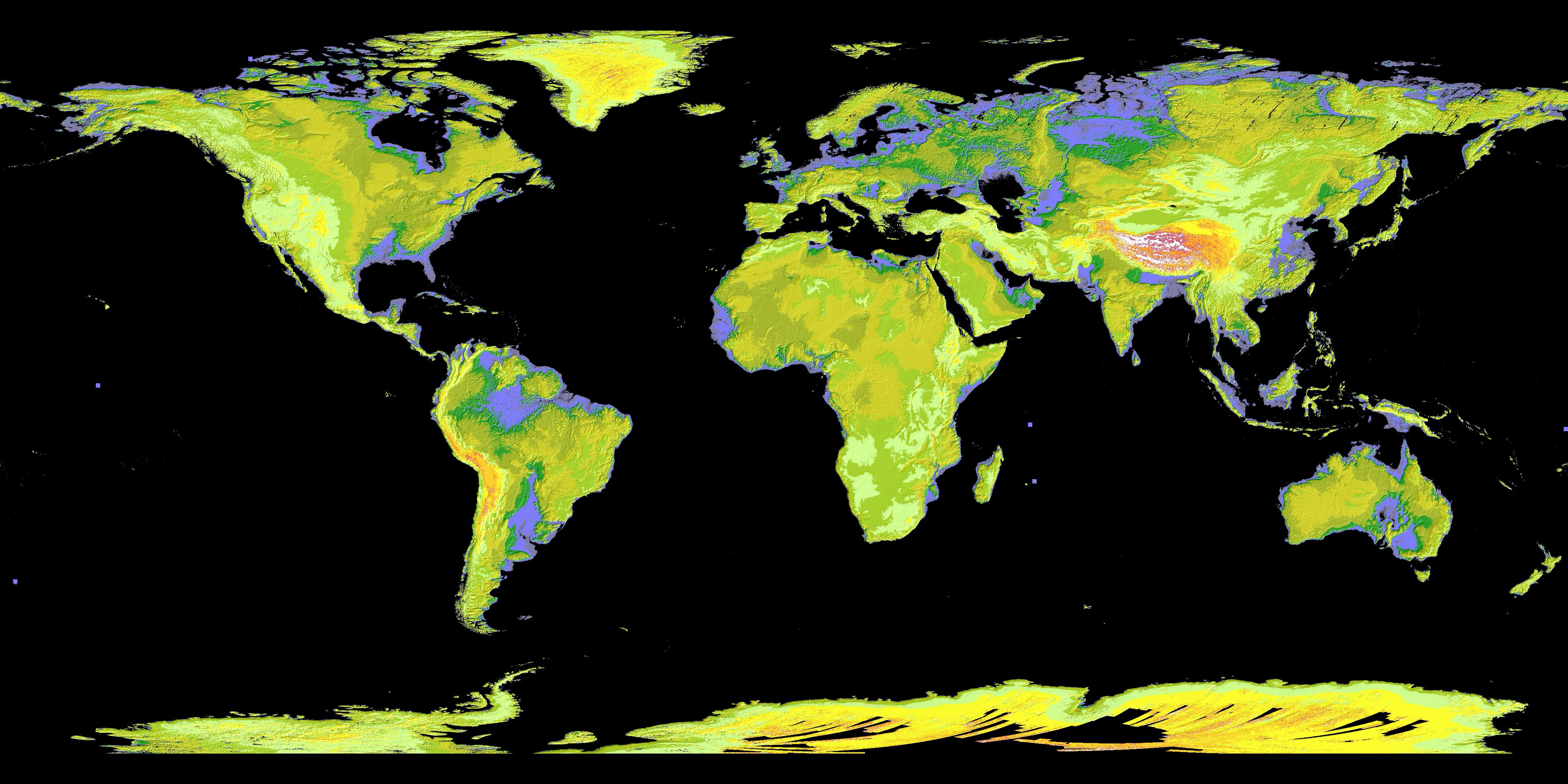
PIA12090:
-
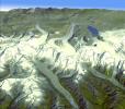
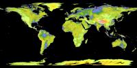
ASTER's Global Digital Elevation Model (GDEM)
Full Resolution:
TIFF
(27.99 MB)
JPEG
(1.153 MB)
|
|
|
2009-06-02 |
Earth
|
Terra
|
ASTER
|
2282x1772x3 |

|
-
PIA12064:
-
Jack Hills, Australia
Full Resolution:
TIFF
(12.15 MB)
JPEG
(877.8 kB)
|
|
|
2009-05-15 |
Earth
|
Terra
|
ASTER
|
3456x2736x3 |
|
-
PIA12063:
-
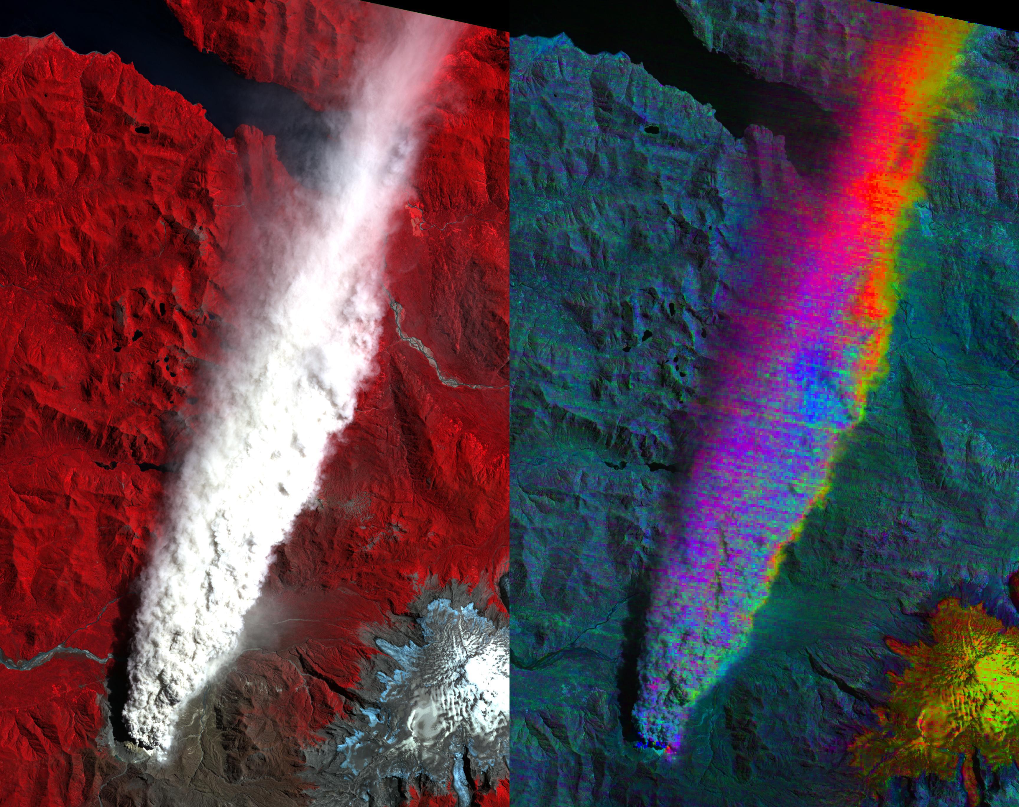
Volcano Chaiten, Chile
Full Resolution:
TIFF
(28.37 MB)
JPEG
(1.285 MB)
|
|
|
2009-05-01 |
Earth
|
Terra
|
ASTER
|
1446x803x3 |
|
-
PIA12062:
-
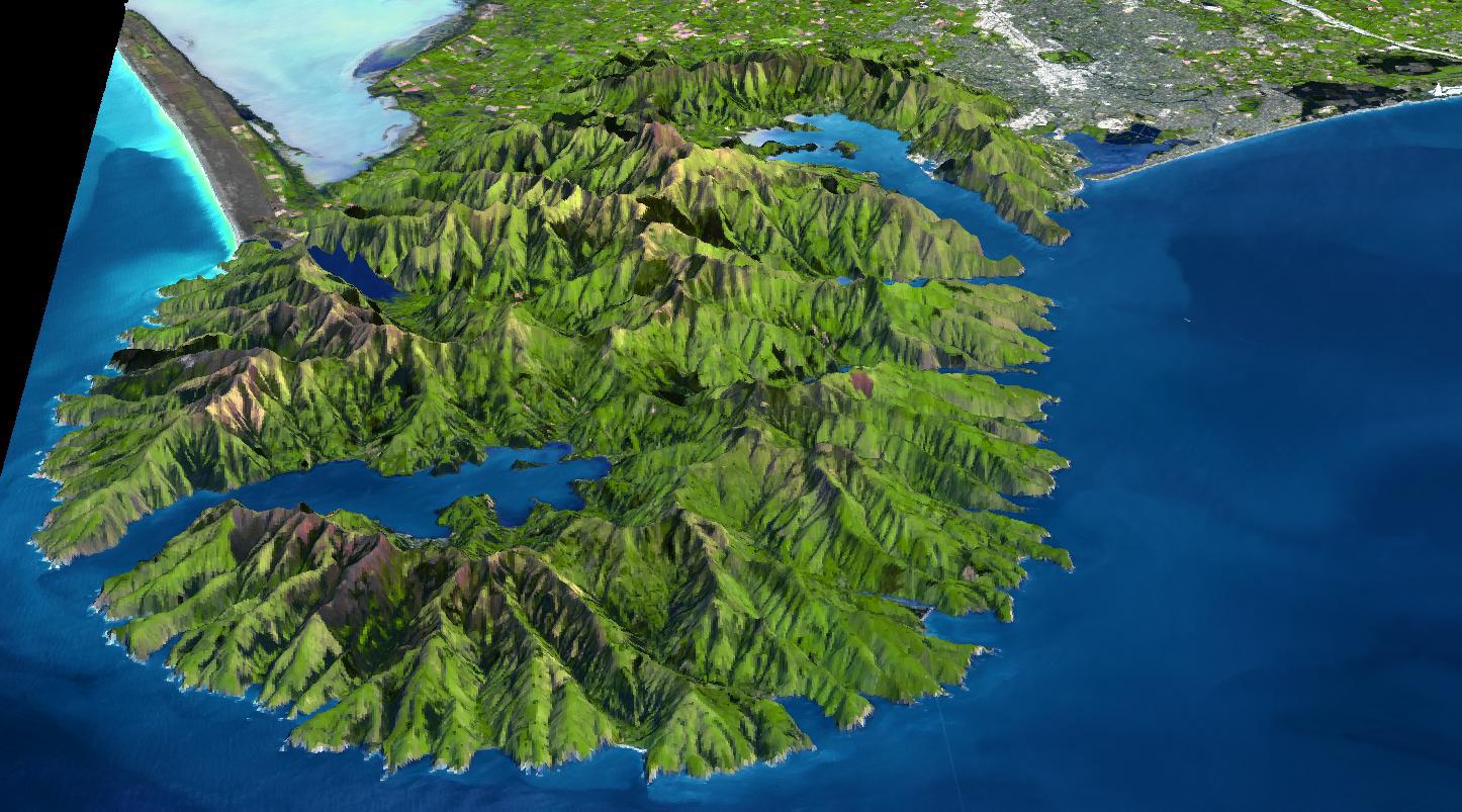
Banks Peninsula, New Zealand
Full Resolution:
TIFF
(3.49 MB)
JPEG
(214.8 kB)
|
|
|
2009-04-20 |
Earth
|
Terra
|
ASTER
|
3235x2351x3 |
|
-
PIA11991:
-
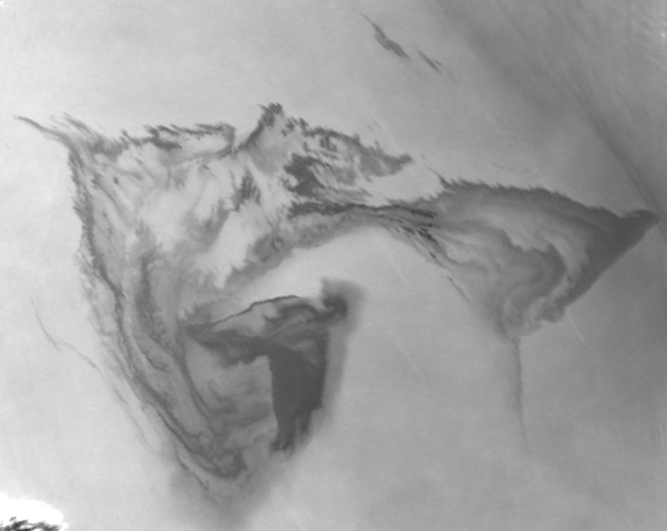
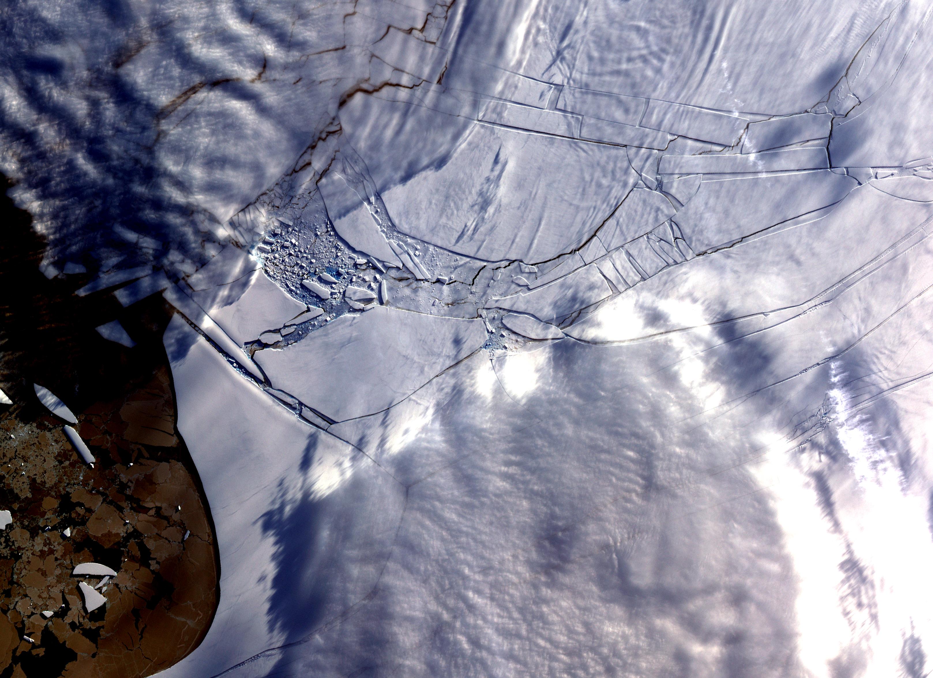
Wilkins Ice Shelf
Full Resolution:
TIFF
(22.82 MB)
JPEG
(984.9 kB)
|
|
|
2009-04-20 |
Earth
|
Terra
|
ASTER
|
3708x2920x3 |
|
-
PIA12061:
-
Komodo National Park, Indonesia
Full Resolution:
TIFF
(32.48 MB)
JPEG
(1.387 MB)
|
|
|
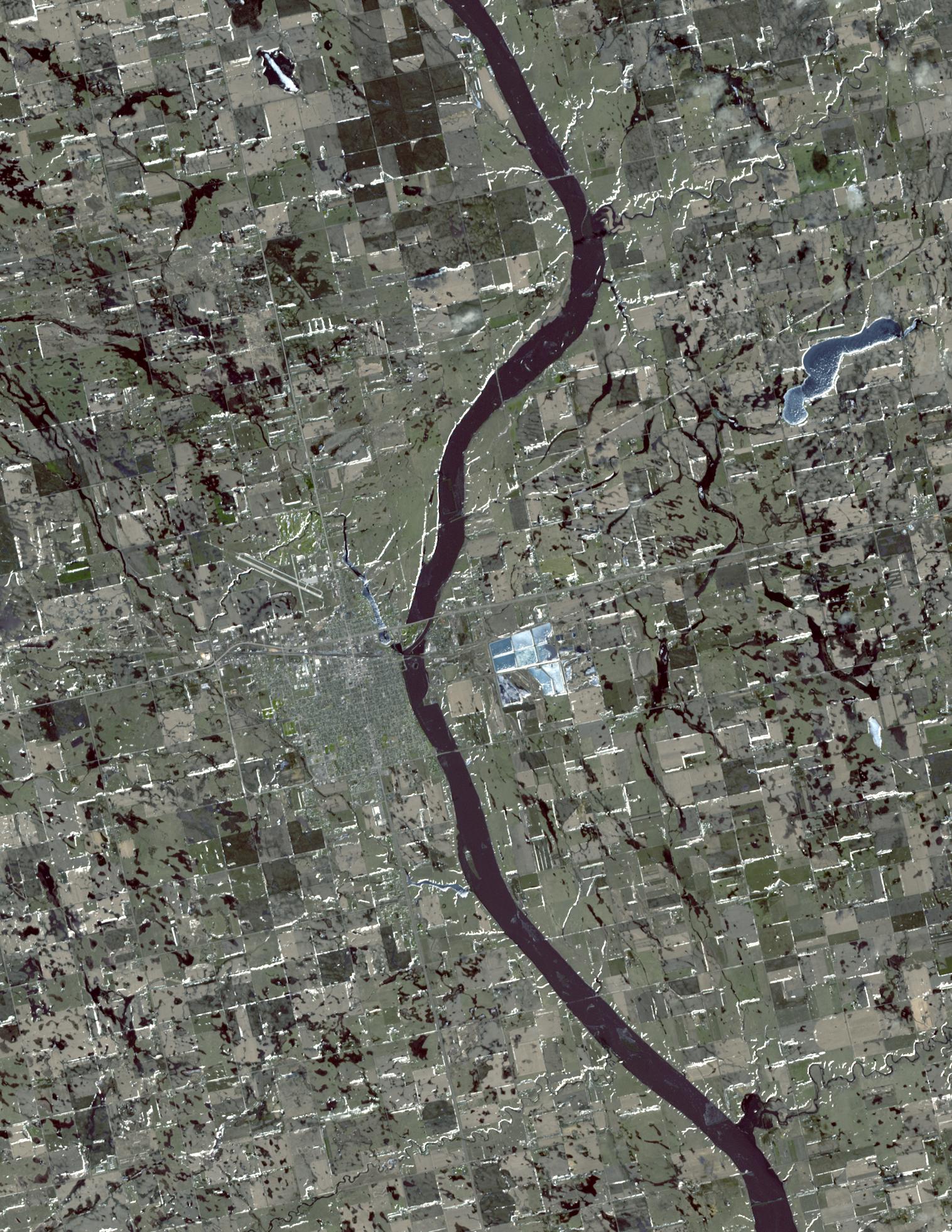
2009-04-19 |
Earth
|
Terra
|
ASTER
|
2508x5460x3 |
|
-
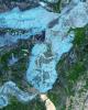
PIA11989:
-
North Dakota Floods
Full Resolution:
TIFF
(41.12 MB)
JPEG
(3.296 MB)
|
|
|
2009-04-03 |
Earth
|
Terra
|
ASTER
|
3108x4319x3 |
|
-
PIA12060:
-
Musandam Peninsula, Oman
Full Resolution:
TIFF
(40.27 MB)
JPEG
(1.593 MB)
|
|
|
2009-03-26 |
Earth
|
Terra
|
ASTER
|
1949x2646x3 |

|
-
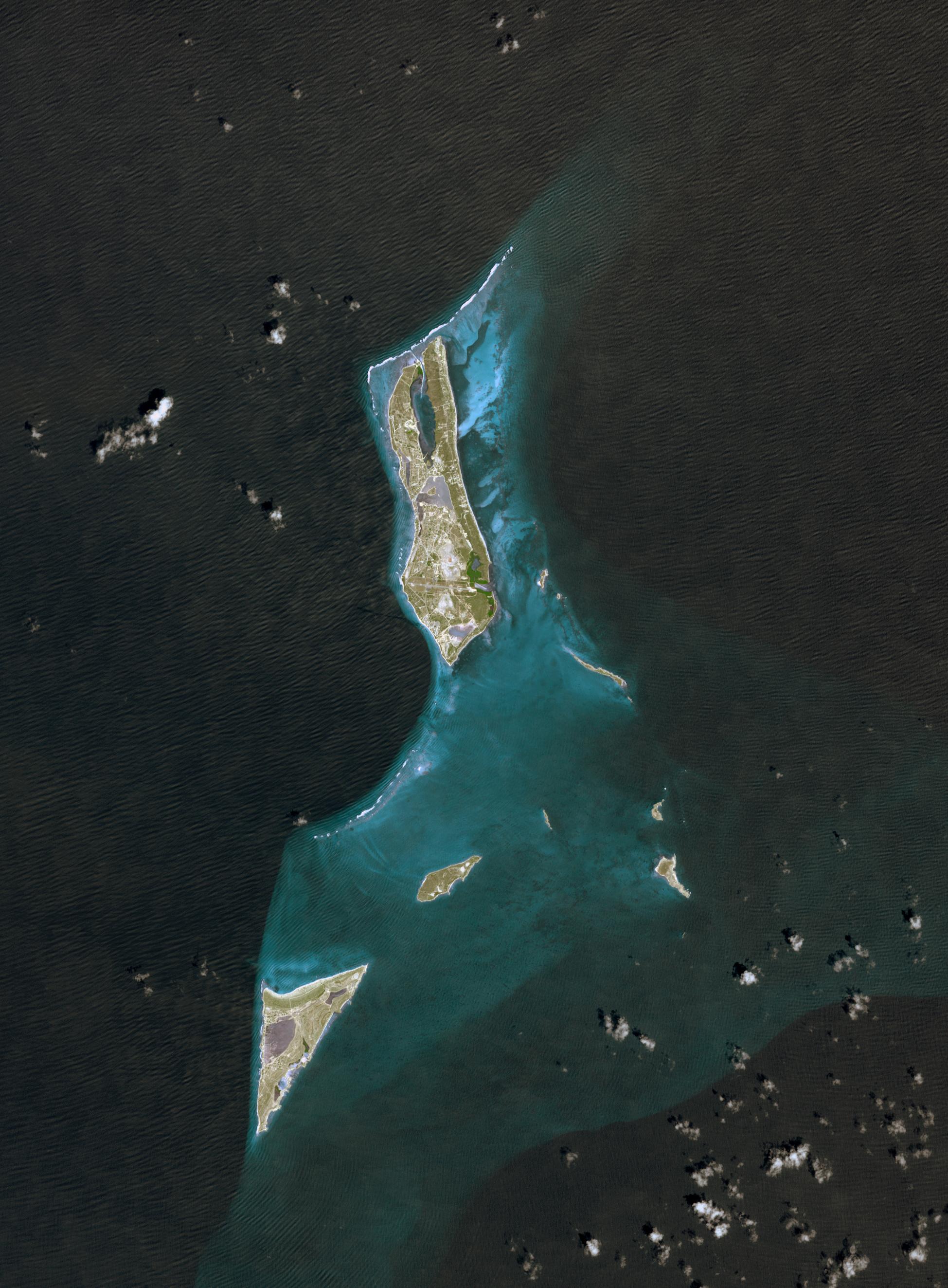
PIA12059:
-
Grand Turk Island
Full Resolution:
TIFF
(15.49 MB)
JPEG
(591.2 kB)
|
|
|
2009-03-16 |
Earth
|
Terra
|
ASTER
|
2676x1918x3 |
|
-
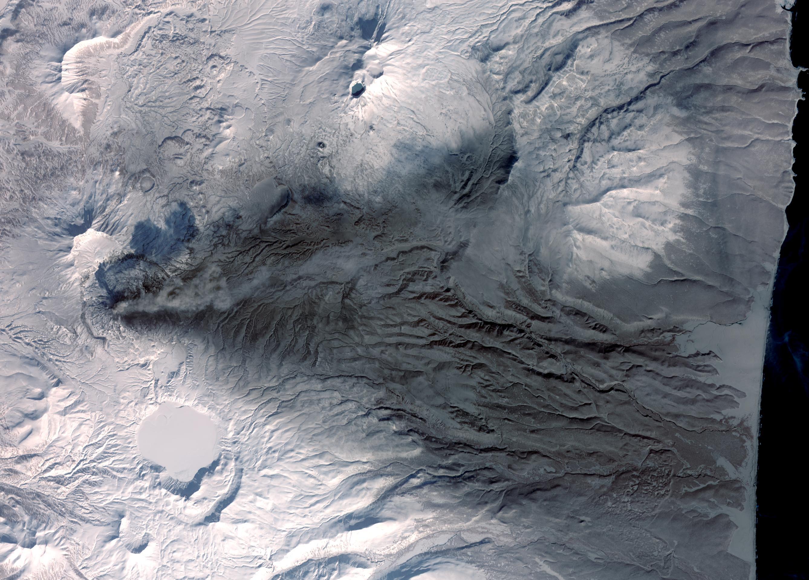
PIA12058:
-
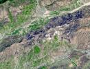
Karymsky Volcano, Kamchatka
Full Resolution:
TIFF
(15.41 MB)
JPEG
(726.5 kB)
|
|
|
2009-03-02 |
Earth
|
Terra
|
ASTER
|
2368x3020x3 |
|
-
PIA12057:
-
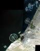
Palm Islands, Dubai, UAE
Full Resolution:
TIFF
(21.48 MB)
JPEG
(700.7 kB)
|
|
|
2009-02-20 |
Earth
|
Terra
|
ASTER
|
3900x3764x3 |
|
-
PIA12056:
-
Hokkaido, Japan
Full Resolution:
TIFF
(44.04 MB)
JPEG
(1.775 MB)
|
|
|
2009-02-18 |
Earth
|
Terra
|
ASTER
|
3315x3324x3 |

|
-
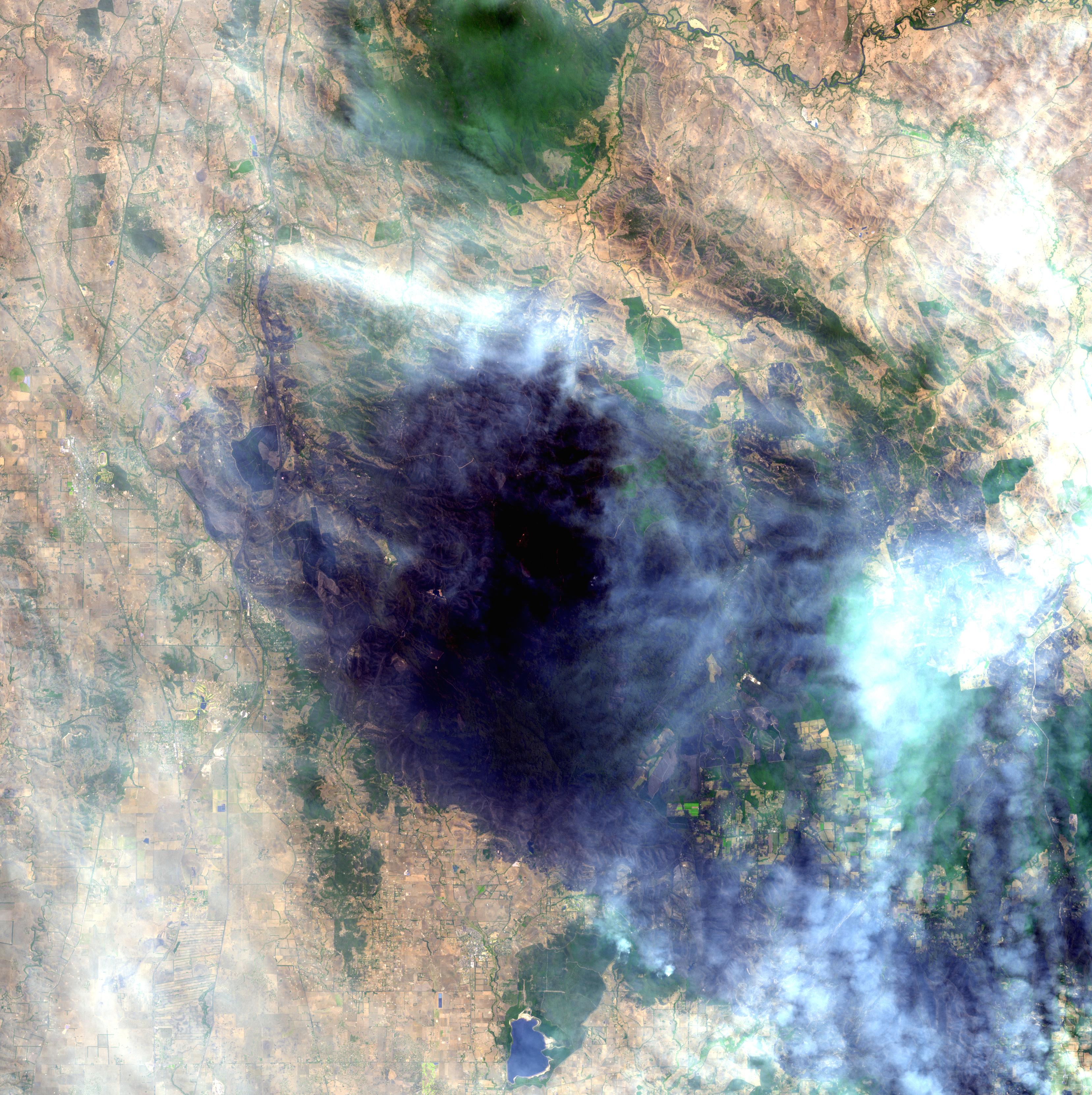
PIA11806:
-
Australia Wildfires Extract a Heavy Toll in Lives, Land
Full Resolution:
TIFF
(33.06 MB)
JPEG
(1.678 MB)
|
|
|
2009-02-09 |
Earth
|
Terra
|
ASTER
|
2468x1992x3 |
|
-
PIA12055:
-
Jamestown, VA
Full Resolution:
TIFF
(14.76 MB)
JPEG
(918.7 kB)
|
|
|
2009-01-09 |
Earth
|
Terra
|
ASTER
|
3136x1656x3 |
|
-
PIA11752:
-
Bodele Sand Dunes, Chad
Full Resolution:
TIFF
(15.58 MB)
JPEG
(879.5 kB)
|
|
|
2008-11-17 |
Earth
|
Terra
|
ASTER
|
4070x8024x3 |
|
-
PIA11419:
-
Byrd Glacier, Antarctica
Full Resolution:
TIFF
(97.97 MB)
JPEG
(7.07 MB)
|
|
|
2008-11-03 |
Earth
|
Terra
|
ASTER
|
6630x5000x3 |
|
-
PIA11394:
-
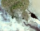
Aftermath of Hurricane Ike along Texas Coast
Full Resolution:
TIFF
(99.45 MB)
JPEG
(4.42 MB)
|
|
|
2008-10-16 |
Earth
|
Terra
|
ASTER
|
1922x2982x3 |
|
-
PIA11420:
-
Mato Grosso, Brazil
Full Resolution:
TIFF
(17.22 MB)
JPEG
(1.446 MB)
|
|
|
2008-09-16 |
Earth
|
Terra
|
ASTER
|
3190x2810x3 |
|
-
PIA11169:
-
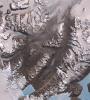
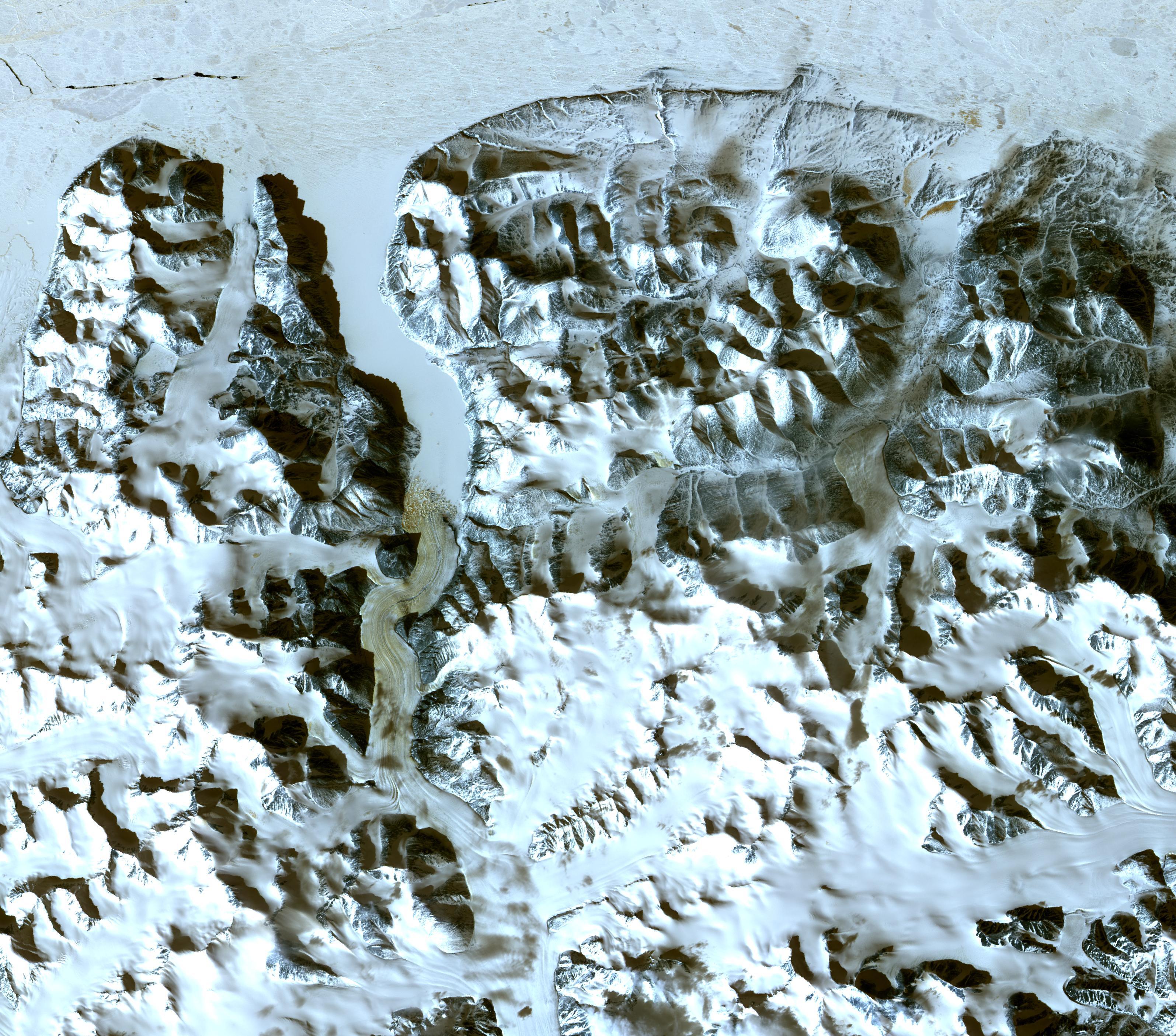
Northern Greenland
Full Resolution:
TIFF
(26.89 MB)
JPEG
(1.555 MB)
|
|
|
2008-08-28 |
Earth
|
Terra
|
ASTER
|
3832x2956x3 |
|
-
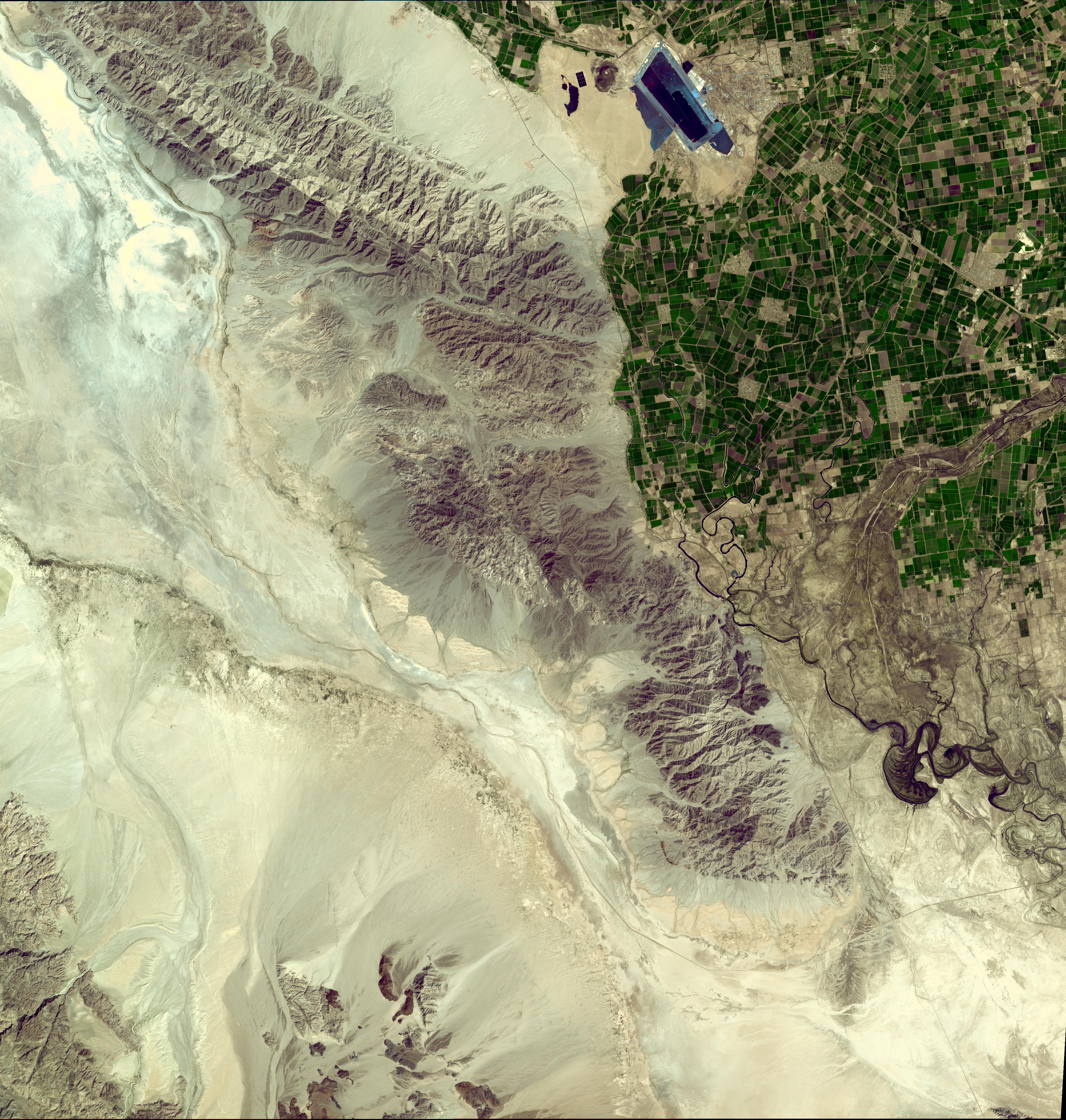
PIA11085:
-
Colorado River Delta
Full Resolution:
TIFF
(33.98 MB)
JPEG
(1.911 MB)
|
|
|
2008-08-08 |
Earth
|
Terra
|
ASTER
|
3656x4124x3 |
|
-
PIA11084:
-
Rub' al Khali, Arabia
Full Resolution:
TIFF
(45.23 MB)
JPEG
(3.202 MB)
|
|
|
2008-07-23 |
Earth
|
Terra
|
ASTER
|
1503x2214x3 |
|
-
PIA10975:
-
Yolla Bolly Complex Wildland Fire
Full Resolution:
TIFF
(10 MB)
JPEG
(733.5 kB)
|
|
|
2008-07-18 |
Earth
|
Terra
|
ASTER
|
1639x1611x3 |
|
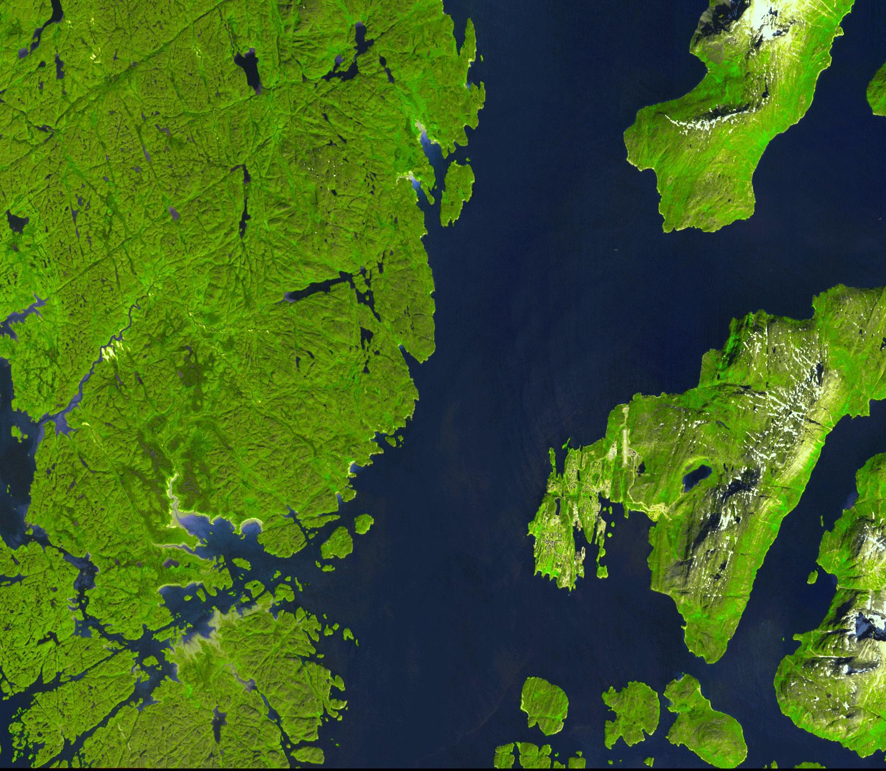
-
PIA11083:
-
L'Anse Aux Meadows, Newfoundland
Full Resolution:
TIFF
(7.934 MB)
JPEG
(468.6 kB)
|
|
|
2008-07-02 |
Earth
|
Terra
|
MISR
|
1267x1187x3 |
|
-
PIA10927:
-
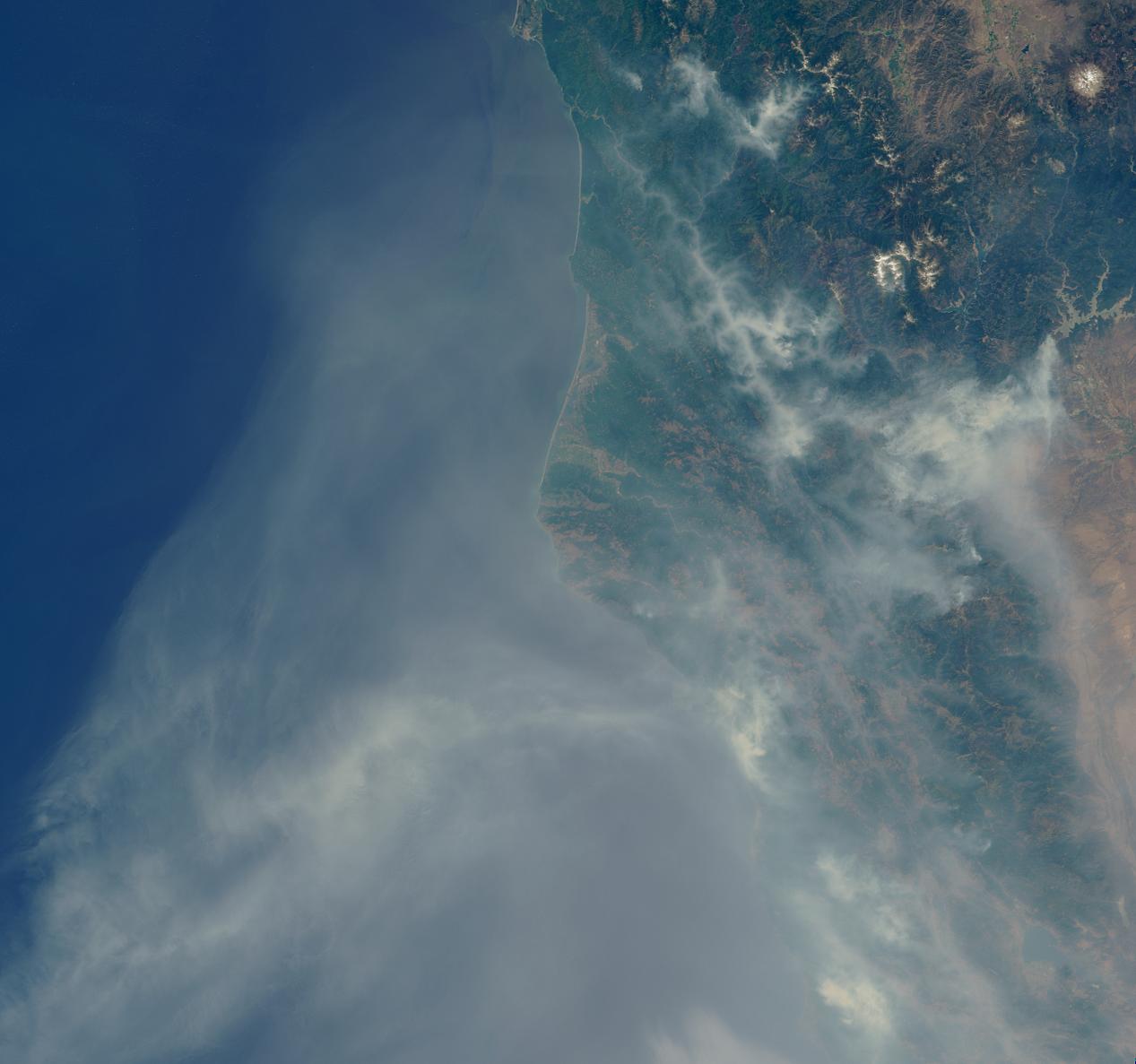
Smoke Blankets Northern California
Full Resolution:
TIFF
(4.517 MB)
JPEG
(100.6 kB)
|
|
|
2008-06-30 |
Earth
|
Terra
|
ASTER
|
3858x2484x3 |
|
-
PIA10925:
-
Fires Burning near Big Sur, California
Full Resolution:
TIFF
(28.75 MB)
JPEG
(1.261 MB)
|
|
|
2008-06-18 |
Earth
|
Terra
|
ASTER
|
2706x2134x3 |
|
-
PIA11082:
-
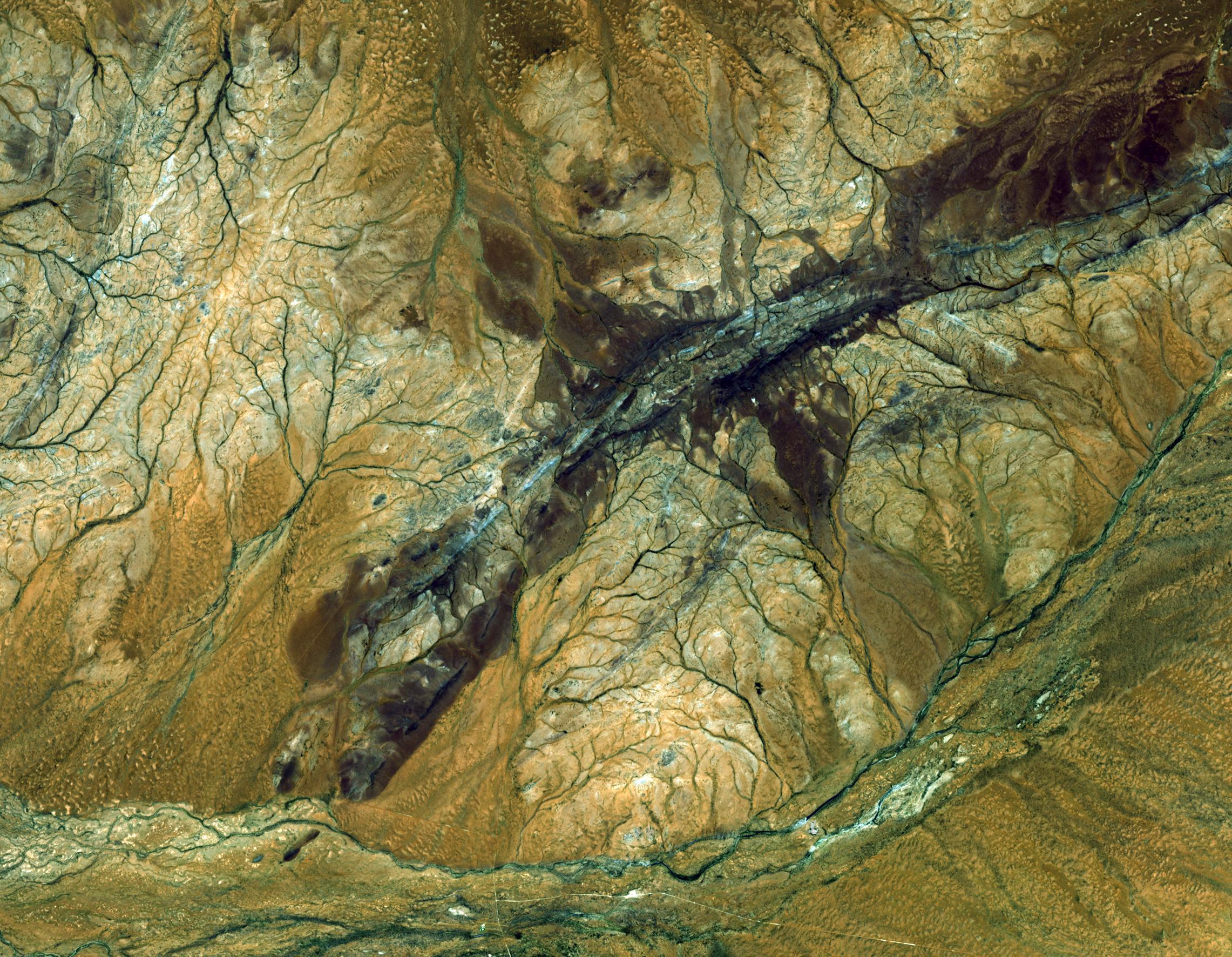
East African Rift
Full Resolution:
TIFF
(17.34 MB)
JPEG
(1.272 MB)
|
|
|
2008-06-06 |
Earth
|
Terra
|
ASTER
|
1761x1054x3 |
|
-
PIA10772:
-
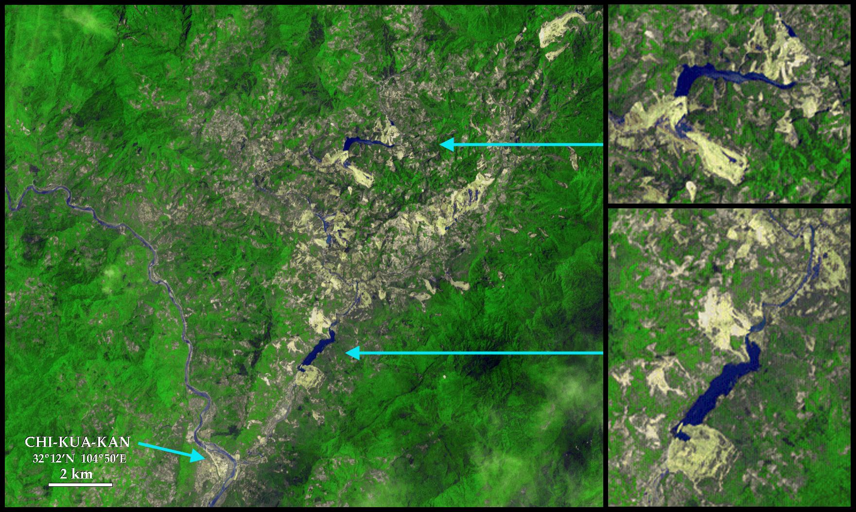
Sichuan Earthquake in China
Full Resolution:
TIFF
(5.577 MB)
JPEG
(375.9 kB)
|
|
|
2008-05-30 |
Earth
|
Terra
|
ASTER
|
800x295x3 |
|
-
PIA11081:
-
Chaiten Volcano, Chile
Full Resolution:
TIFF
(709 kB)
JPEG
(45.79 kB)
|
|
|
2008-05-23 |
Earth
|
Terra
|
ASTER
|
1735x1511x3 |

|
-
PIA11080:
-
Nuuk, Greenland
Full Resolution:
TIFF
(7.877 MB)
JPEG
(433.8 kB)
|
 Planetary Data System


