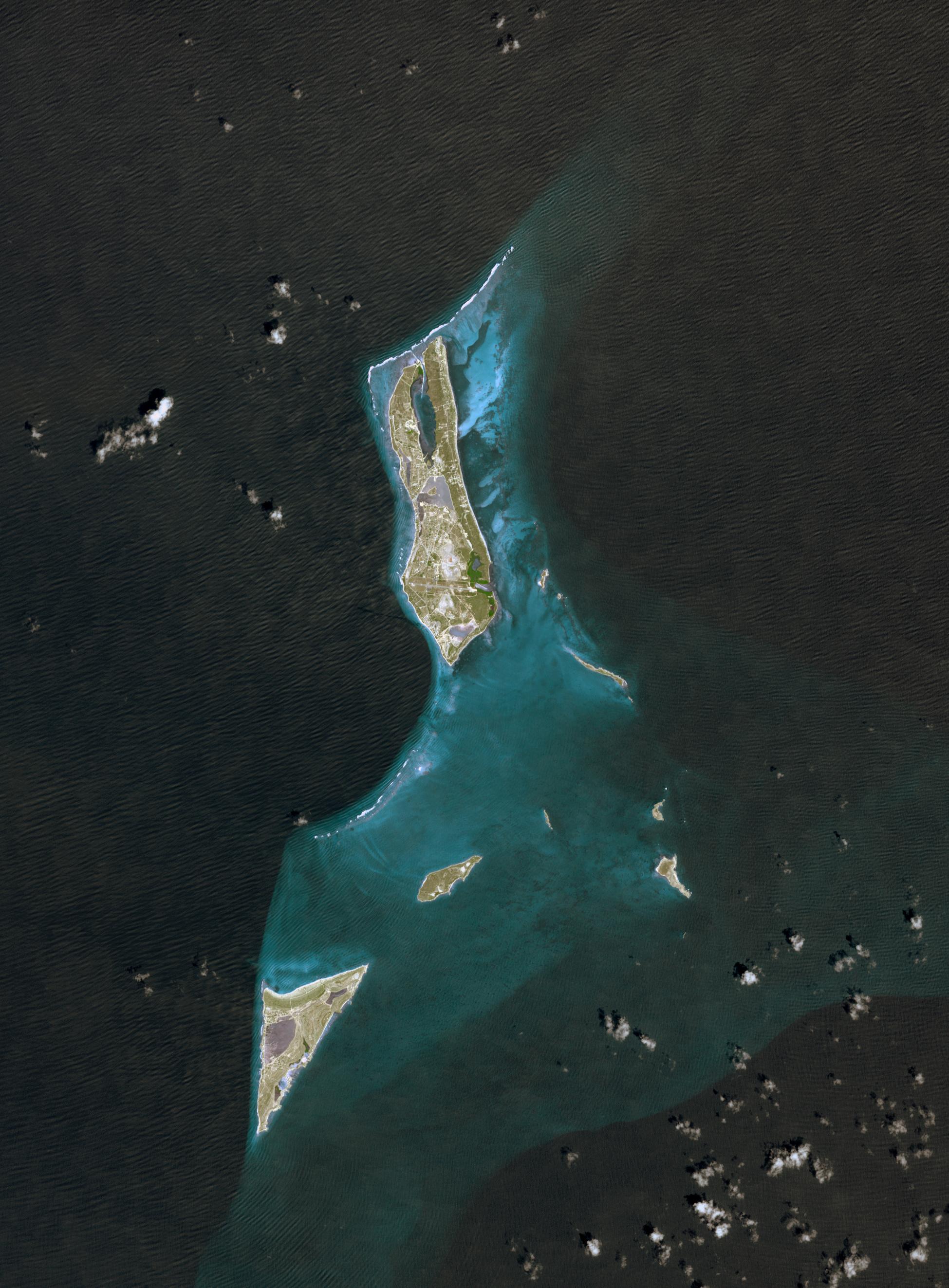
Grand Turk Island is an island in the Turks and Caicos Islands in the Caribbean, and contains the territory's capital, Cockburn Town and the JAGS International Airport. The island is the administrative, historic, cultural, and financial center of the territory. The name comes from a species of cactus, the Turk's Cap Cactus. Founded by Bermudan Salt Rakers some three hundred years ago, its Bermudan British colonial architecture makes this a popular tourist stop. The island was first settled by ancestors of the Tainos, and archaeological remains have been dated to the 8th century.
The image was acquired on September 18, 2001, covers an area of 30 x 39 km, and is located near 21.4 degrees north latitude, 71.1 degrees west longitude.
With its 14 spectral bands from the visible to the thermal infrared wavelength region and its high spatial resolution of 15 to 90 meters (about 50 to 300 feet), ASTER images Earth to map and monitor the changing surface of our planet. ASTER is one of five Earth-observing instruments launched December 18, 1999, on NASA's Terra satellite. The instrument was built by Japan's Ministry of Economy, Trade and Industry. A joint U.S./Japan science team is responsible for validation and calibration of the instrument and the data products.
The broad spectral coverage and high spectral resolution of ASTER provides scientists in numerous disciplines with critical information for surface mapping and monitoring of dynamic conditions and temporal change. Example applications are: monitoring glacial advances and retreats; monitoring potentially active volcanoes; identifying crop stress; determining cloud morphology and physical properties; wetlands evaluation; thermal pollution monitoring; coral reef degradation; surface temperature mapping of soils and geology; and measuring surface heat balance.
The U.S. science team is located at NASA's Jet Propulsion Laboratory, Pasadena, Calif. The Terra mission is part of NASA's Science Mission Directorate.
More information about ASTER is available at http://asterweb.jpl.nasa.gov/.
 Planetary Data System


