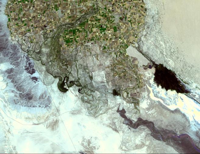
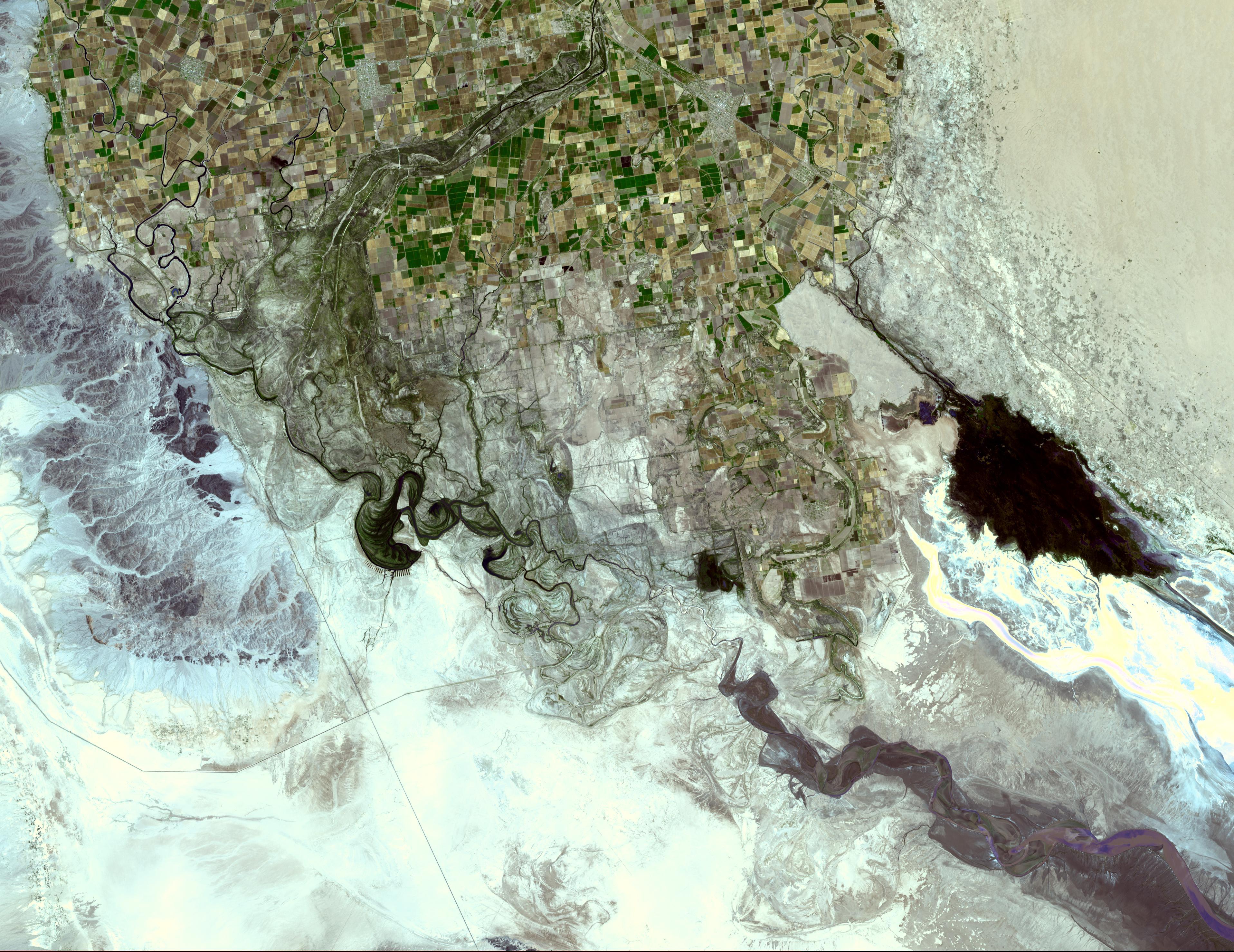
The Colorado River ends its 2330 km journey in the Gulf of Mexico in Baja California. The heavy use of the river as an irrigation source for the Imperial Valley has dessicated the lower course of the river in Mexico such that it no longer consistently reaches the sea. Prior to the mid 20th century, the Colorado River Delta provided a rich estuarine marshland that is now essentially desiccated, but nonetheless is an important ecological resource.
The image was acquired May 29, 2006, covers an area of 44.3 x 57.5 km, and is located at 32.1 degrees north latitude, 115.1 degrees west longitude.
The U.S. science team is located at NASA's Jet Propulsion Laboratory, Pasadena, Calif. The Terra mission is part of NASA's Science Mission Directorate.