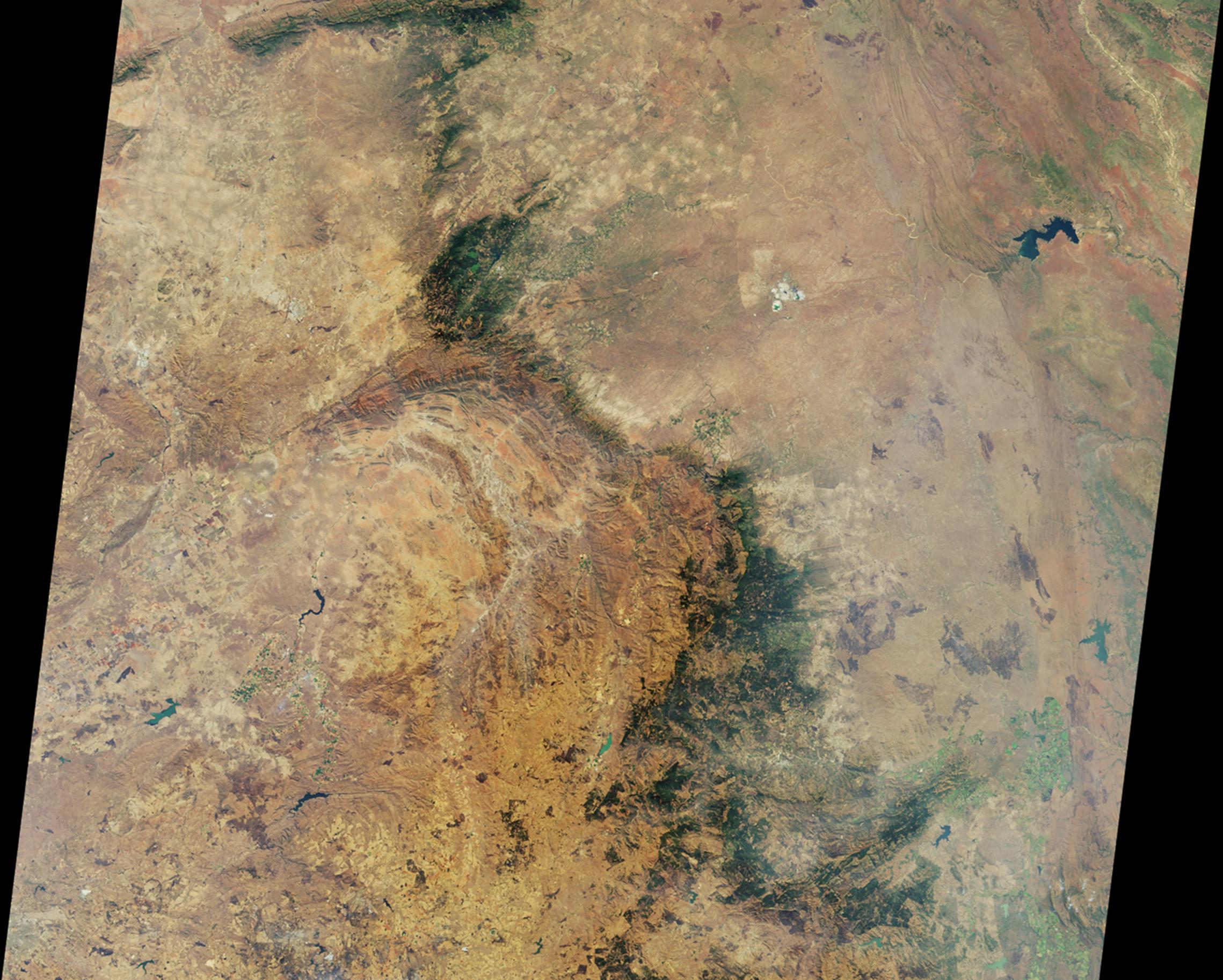
This image is a nadir camera view of the area around Kruger National Park in northeastern South Africa, acquired by the Multi-angle Imaging SpectroRadiometer (MISR) instrument on Aug. 18, 2010 during Terra orbit 56735. The imaged area is 380 kilometers (236 miles) wide. The bright white feature above and to the right of image center is the Palabora Copper Mine, and the water body near upper right is Lake Massingir in Mozambique. Kruger National Park lies between these landmarks and stretches from north to south for some 350 kilometers (217 miles).
MISR was built and is managed by NASA's Jet Propulsion Laboratory, Pasadena, Calif., for NASA's Science Mission Directorate, Washington, D.C. Terra is managed by NASA's Goddard Space Flight Center, Greenbelt, Md.
