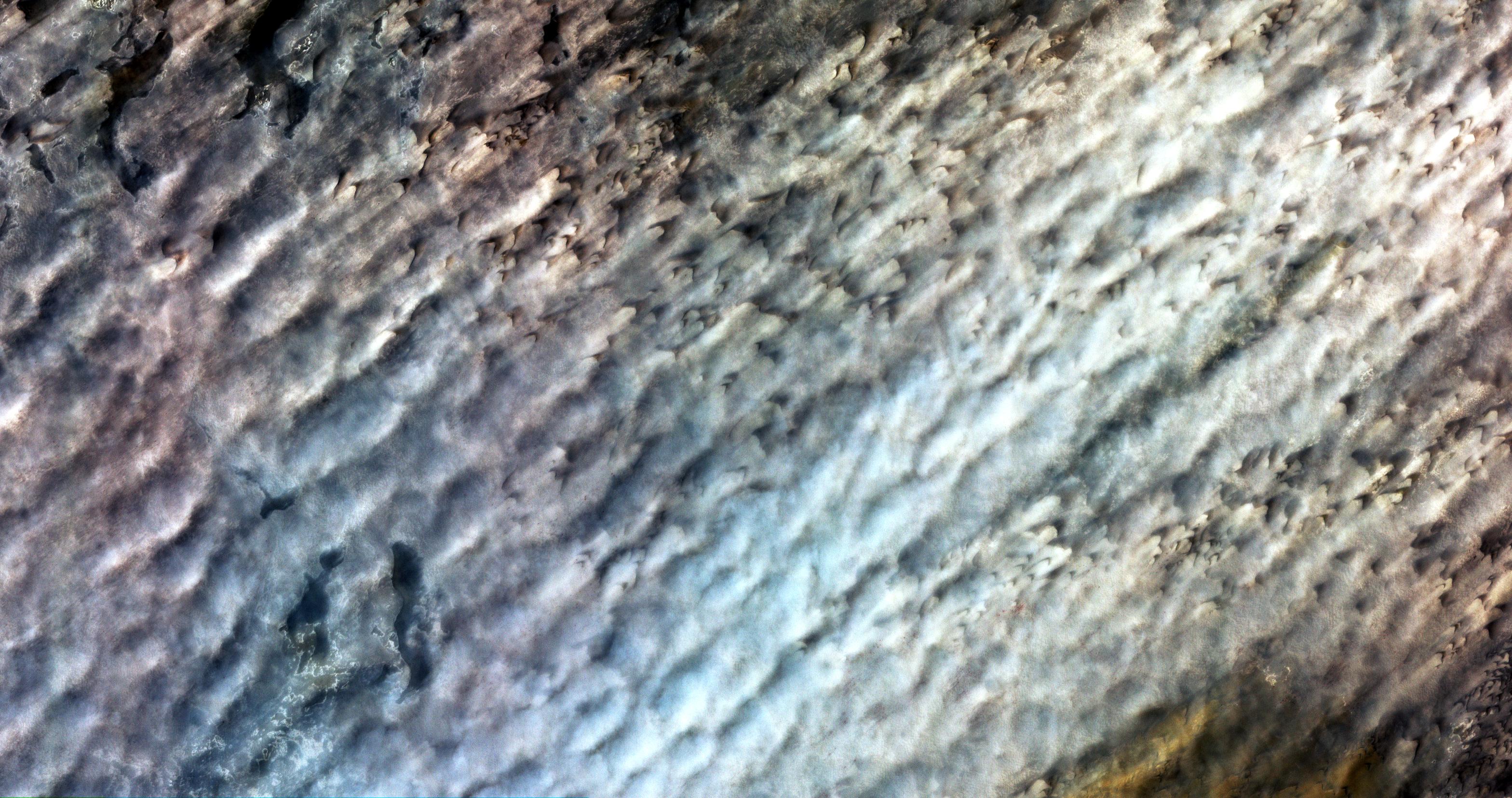
To better understand how dry landscapes respond to wind-driven changes, scientists can monitor how fast sand dunes migrate. Researchers Vermeesch and Drake used pairs of high-resolution optical satellite images taken at differing times by the Advanced Spaceborne Thermal Emission and Reflection Radiometer (ASTER) instrument on NASA's Terra spacecraft to monitor the migration of sand dunes in the Bodele depression of northern Chad in time intervals ranging from one month to 6.5 years. The scientists used the displacement maps from the satellite image pairs to distinguish dunes from interdunes and obtain fine-scale measurements of dune heights and volumes, allowing them to estimate movements of sand over time. Their work confirmed that the Bodele dunes are some of the fastest moving sand dunes on Earth.
With its 14 spectral bands from the visible to the thermal infrared wavelength region and its high spatial resolution of 15 to 90 meters (about 50 to 300 feet), ASTER images Earth to map and monitor the changing surface of our planet.
ASTER is one of five Earth-observing instruments launched December 18, 1999, on NASA's Terra satellite. The instrument was built by Japan's Ministry of Economy, Trade and Industry. A joint U.S./Japan science team is responsible for validation and calibration of the instrument and the data products.
The broad spectral coverage and high spectral resolution of ASTER provides scientists in numerous disciplines with critical information for surface mapping and monitoring of dynamic conditions and temporal change. Example applications are: monitoring glacial advances and retreats; monitoring potentially active volcanoes; identifying crop stress; determining cloud morphology and physical properties; wetlands evaluation; thermal pollution monitoring; coral reef degradation; surface temperature mapping of soils and geology; and measuring surface heat balance.
The U.S. science team is located at NASA's Jet Propulsion Laboratory, Pasadena, Calif. The Terra mission is part of NASA's Science Mission Directorate.
More information about ASTER is available at http://asterweb.jpl.nasa.gov/.
Size: 47.4 by 24.8 kilometers (29.4 by 15.4 miles)
Location: 17 degrees North latitude, 18 degrees East longitude
Orientation: North up
Image Data: ASTER Bands 1,2,3
Original Data Resolution: 15 meters (49.2 feet)
Date Acquired: March 2, 2006
