|
Your search criteria found 1172 images Collection Type |
| My List |
Addition Date |
Target
|
Mission | Instrument | Size |

|
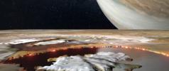
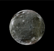
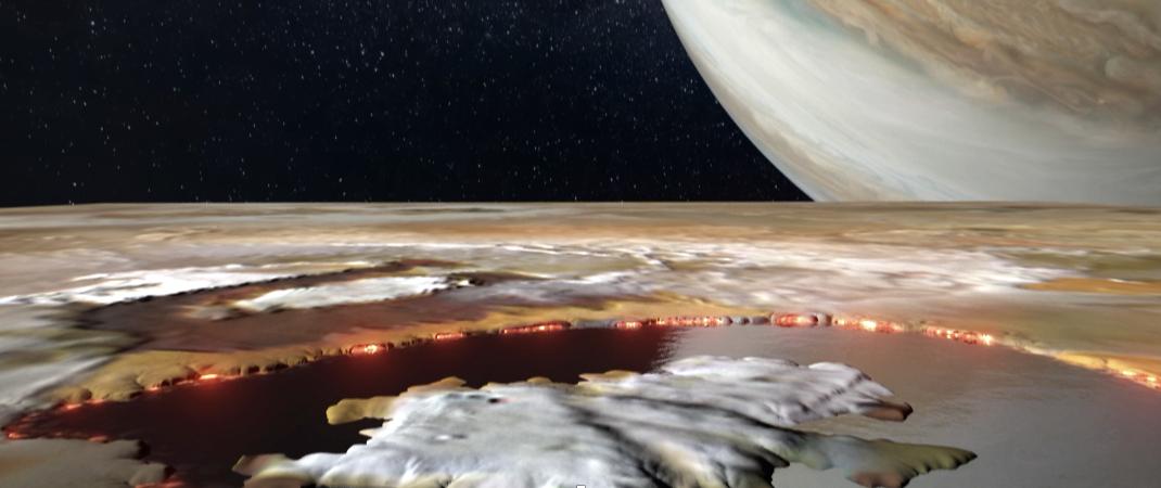
2024-04-18 | Io |
Juno |
JunoCam |
1070x450x3 |
|
|||||
|
|
2024-04-18 | Io |
Juno |
JunoCam |
1059x452x3 |

|
|||||
|
|
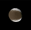
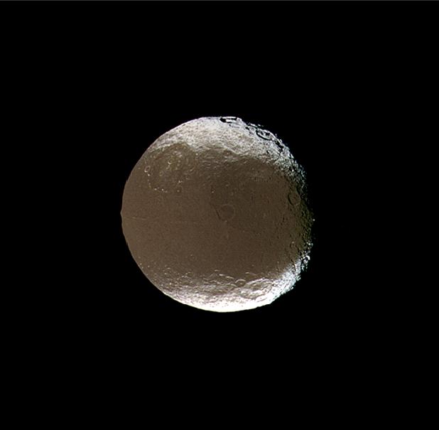
2005-12-06 | Iapetus |
Cassini-Huygens |
ISS - Narrow Angle |
618x605x3 |
|
|||||
|
|
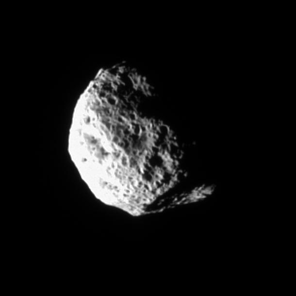
2007-10-15 | Iapetus |
Cassini-Huygens |
ISS - Wide Angle |
1024x1024x3 |
|
|||||
|
|
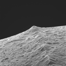
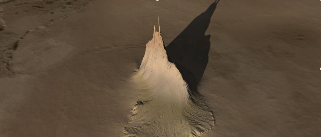
2005-07-11 | Hyperion |
Cassini-Huygens |
ISS - Narrow Angle |
800x800x1 |
|
|||||
|
|
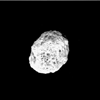
2006-02-03 | Hyperion |
Cassini-Huygens |
ISS - Narrow Angle |
600x600x3 |

|
|||||
|
|
2006-12-29 | Hyperion |
Cassini-Huygens |
ISS - Narrow Angle |
400x400x3 |

|
|||||
|
|
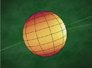
2005-04-20 | HD 69830 |
Spitzer Space Telescope |
3200x2400x3 | |

|
|||||
|
|
2005-04-20 | HD 69830 |
Spitzer Space Telescope |
3000x2400x3 | |

|
|||||
|
|
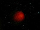
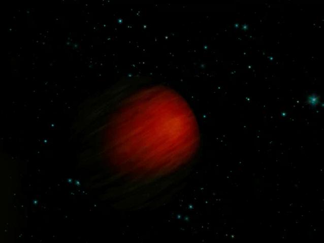
2007-05-09 | HD 189733b |
Spitzer Space Telescope |
IRAC |
640x473x3 |
|
|||||
|
|
2007-05-09 | HD 189733b |
Spitzer Space Telescope |
IRAC |
640x467x3 |

|
|||||
|
|
2009-08-10 | HD 172555 |
Spitzer Space Telescope |
3000x2400x3 | |

|
|||||
|
|
2007-05-09 | HD 149026b |
Spitzer Space Telescope |
638x479x3 | |
|
|||||
|
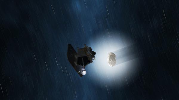
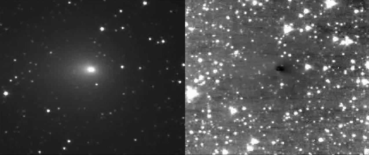
|
2010-10-26 | Hartley 2 |
EPOXI |
Medium Resolution Instrument (MRI) |
642x552x1 |
|
|||||
|
|
2010-10-26 | Hartley 2 |
EPOXI |
600x338x3 | |

|
|||||
|
|
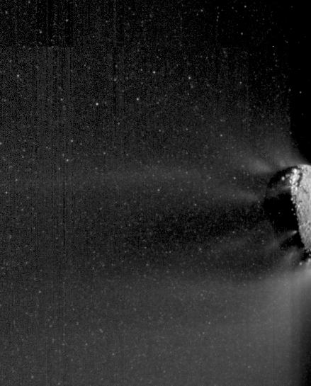
2010-11-04 | Hartley 2 |
EPOXI |
High Resolution Instrument (HRI) Medium Resolution Instrument (MRI) |
1274x535x1 |
|
|||||
|
|
2010-11-05 | Hartley 2 |
EPOXI |
Medium Resolution Instrument (MRI) |
513x448x1 |
|
|||||
|
|
2010-11-18 | Hartley 2 |
EPOXI |
Medium Resolution Instrument (MRI) |
439x545x1 |

|
|||||
|
|
2010-11-18 | Hartley 2 |
EPOXI |
Medium Resolution Instrument (MRI) |
864x625x1 |
|
|||||
|
|
2005-05-31 | GJ 3685A |
Galaxy Evolution Explorer (GALEX) |
GALEX Telescope |
1280x960x3 |
|
|||||
|
|
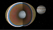
2000-12-17 | Ganymede |
Galileo |
Solid-State Imaging |
512x384x1 |
|
|
||||
|
|
2014-02-12 | Ganymede |
Galileo Voyager |
797x754x3 | |
|
|||||
|
|
2022-12-14 | Ganymede |
Juno |
Jovian Auroral Distributions Experiment (JADE) |
1920x1080x3 |
|
|||||
|
|
2007-12-13 | Europa | 637x361x3 | ||
|
|||||
|
|
2024-01-17 | Europa |
Europa Lander |
Landing System |
1670x935x3 |

|
|||||
|
|
2024-01-17 | Europa |
Europa Lander |
Landing System |
1670x935x3 |
|
|||||
|
|
2024-10-11 | Europa |
Europa Clipper |
1103x669x3 | |
|
|||||
|
|
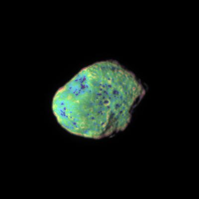
2006-06-22 | Epimetheus |
Cassini-Huygens |
ISS - Narrow Angle |
950x420x1 |
|
|||||
|
|
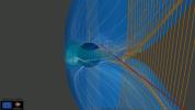
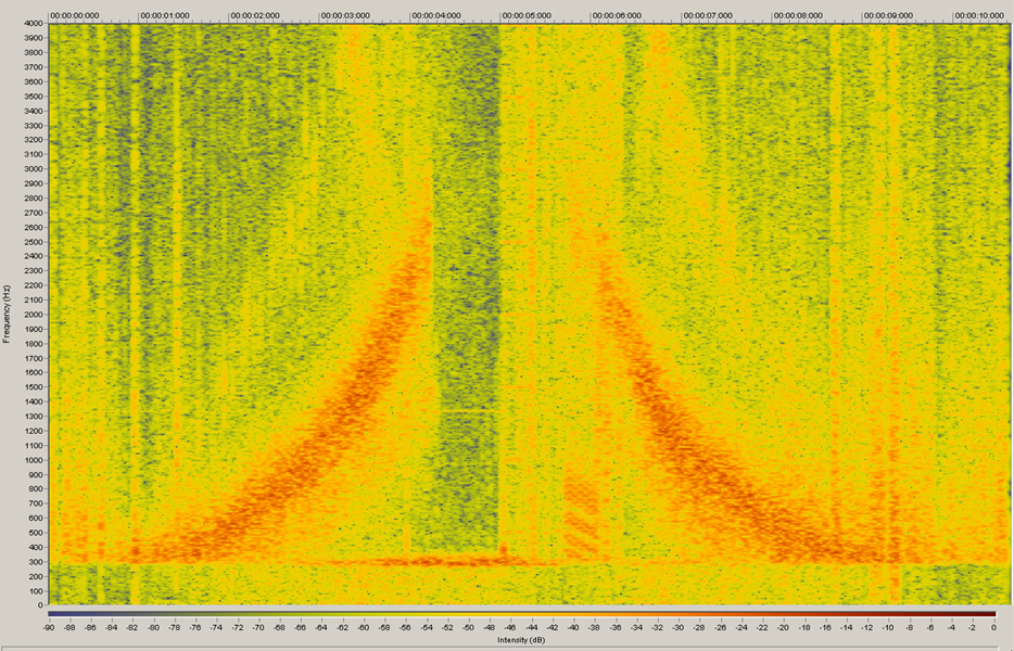
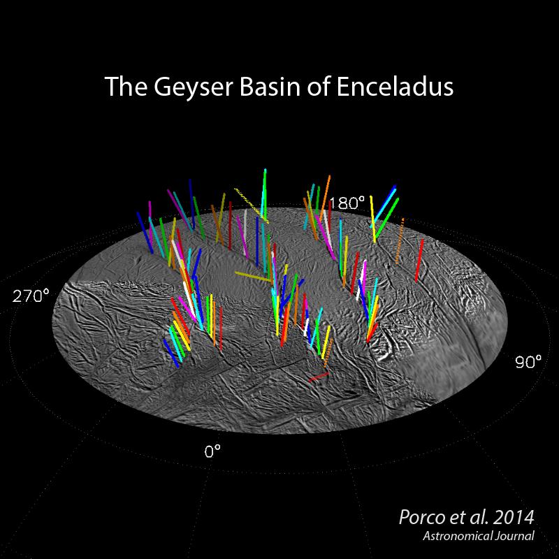
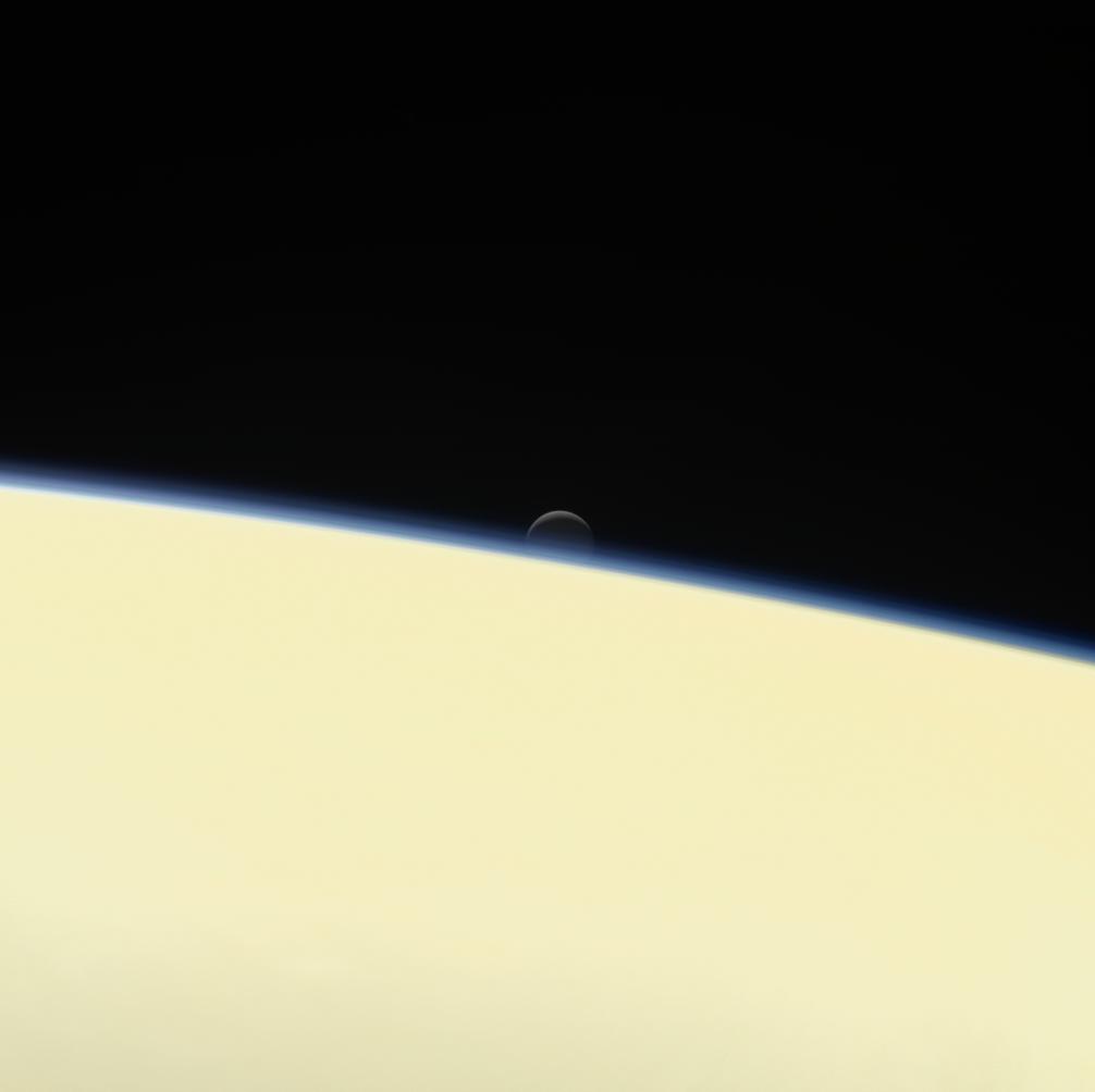
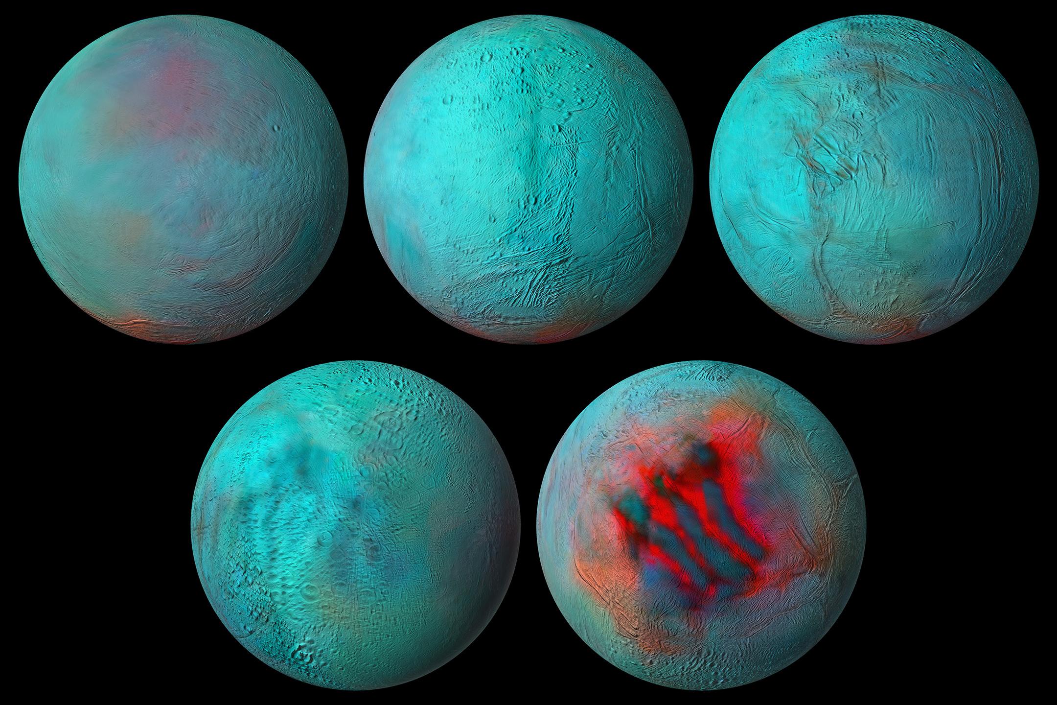
2005-04-27 | Enceladus |
Cassini-Huygens |
Magnetometer |
934x600x3 |
|
|||||
|
|
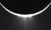
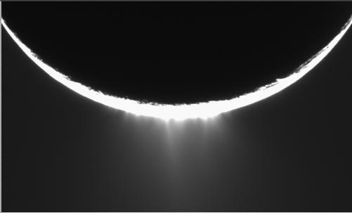
2005-07-26 | Enceladus |
Cassini-Huygens |
ISS - Narrow Angle |
3237x3812x3 |

|
|||||
|
|
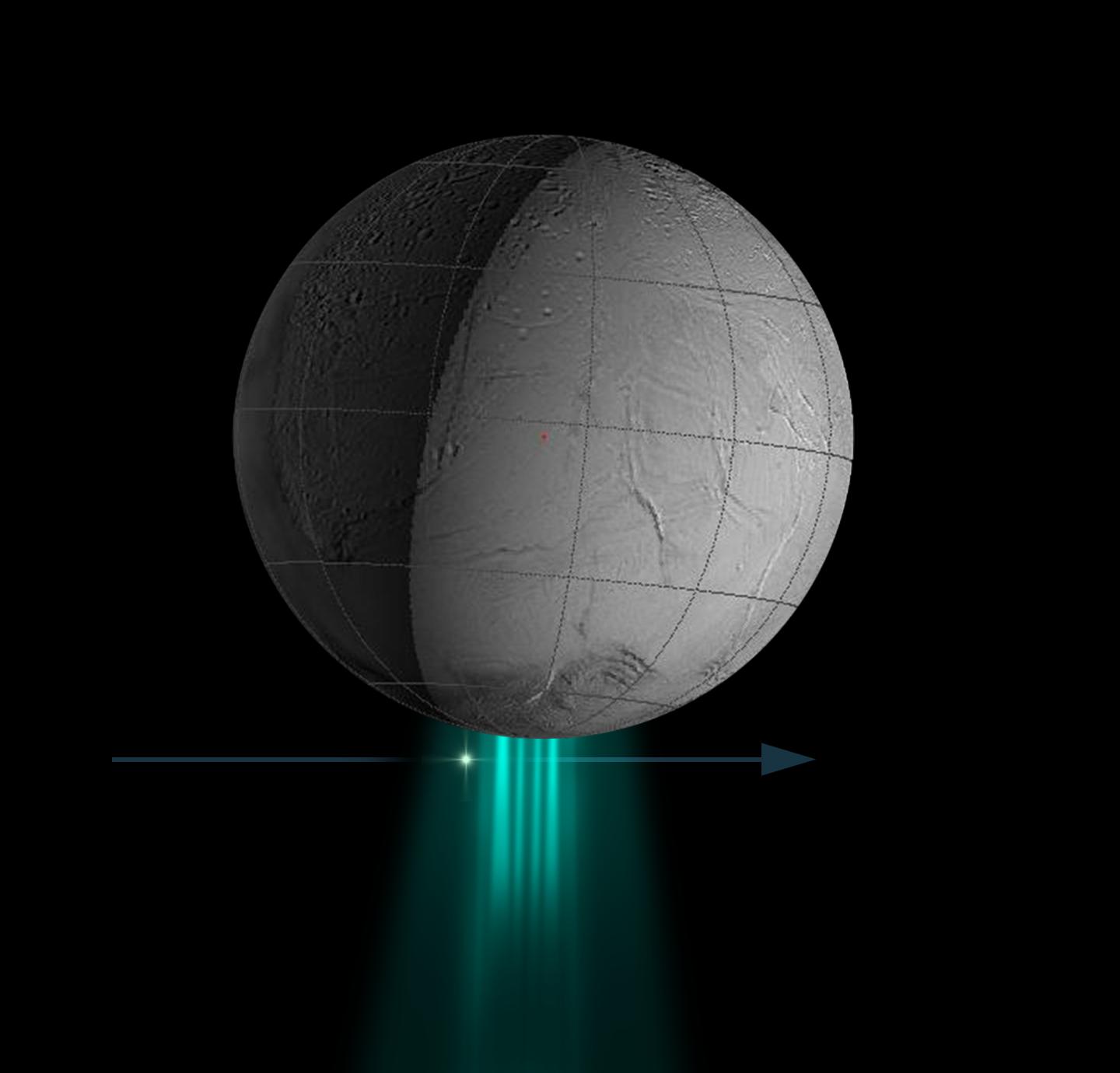
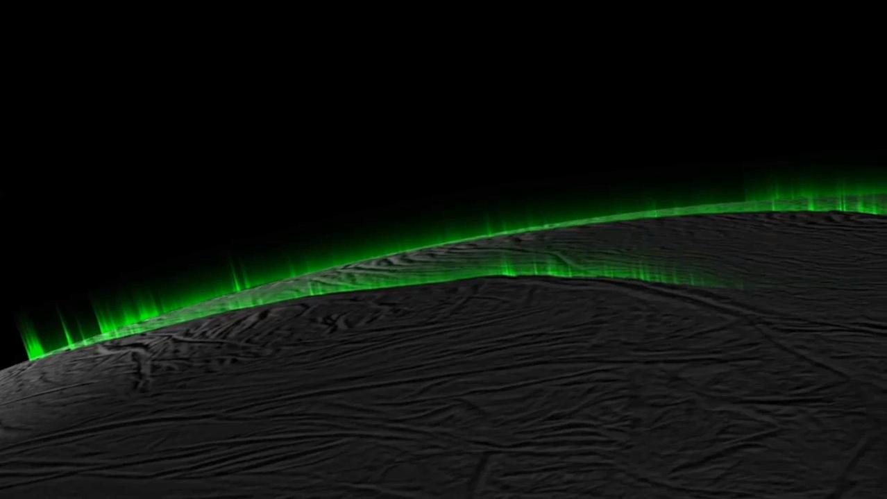
2005-08-31 | Enceladus |
Cassini-Huygens |
Composite Infrared Spectrometer Imaging Science Subsystem Imaging Science Subsystem - Narrow Angle |
318x239x3 |
|
|||||
|
|
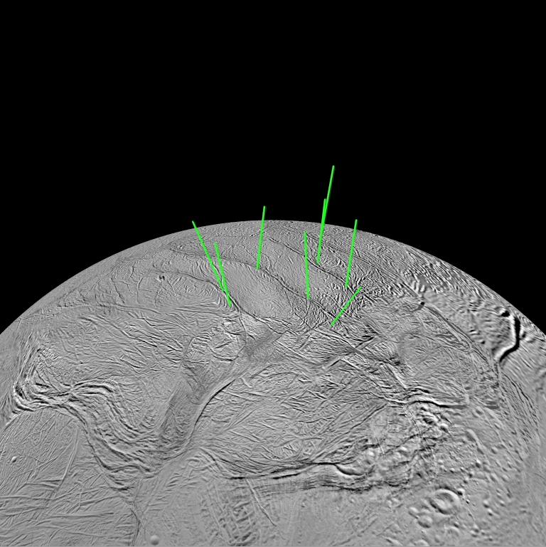
2005-12-06 | Enceladus |
Cassini-Huygens |
ISS - Narrow Angle |
501x303x1 |
|
|||||
|
|
2008-03-26 | Enceladus |
Cassini-Huygens |
UVIS |
1440x1380x3 |

|
|||||
|
|
2008-12-15 | Enceladus |
Cassini-Huygens |
Imaging Science Subsystem |
768x769x3 |
|
|||||
|
|
2008-12-15 | Enceladus |
Cassini-Huygens |
Imaging Science Subsystem |
640x479x1 |
|
|||||
|
|
2011-12-01 | Enceladus |
Cassini-Huygens |
Synthetic-Aperture Radar (SAR) |
602x572x3 |
|
|||||
|
|
2011-12-01 | Enceladus |
Cassini-Huygens |
Synthetic-Aperture Radar (SAR) |
619x573x3 |
|
|||||
|
|
2011-12-01 | Enceladus |
Cassini-Huygens |
Synthetic-Aperture Radar (SAR) |
1864x2452x3 |
|
|||||
|
|
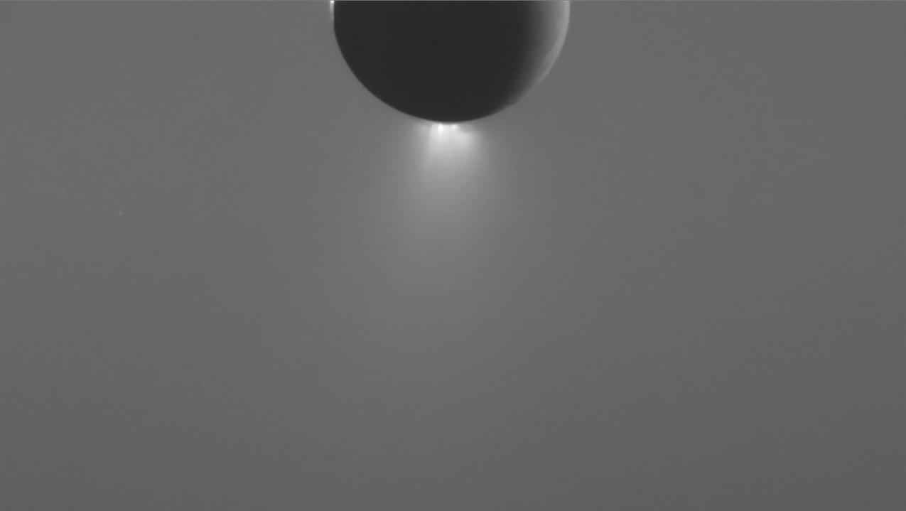
2014-07-28 | Enceladus |
Cassini-Huygens |
800x800x3 | |
|
|||||
|
|
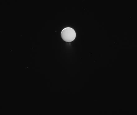
2015-05-06 | Enceladus |
Cassini-Huygens |
Imaging Science Subsystem |
1278x719x3 |
|
|||||
|
|
2015-10-26 | Enceladus |
Cassini-Huygens |
Imaging Science Subsystem |
1275x719x1 |
|
|||||
|
|
2017-09-08 | Enceladus |
Cassini-Huygens |
ISS - Narrow Angle |
441x372x1 |
|
|||||
|
|
2017-09-15 | Enceladus |
Cassini-Huygens |
ISS - Narrow Angle |
1006x1004x3 |
|
|||||
|
|
2020-09-18 | Enceladus |
Cassini-Huygens |
Visual and Infrared Mapping Spectrometer |
2160x1440x3 |
|
|||||
|
|
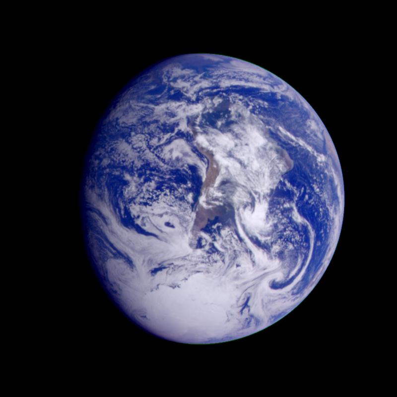
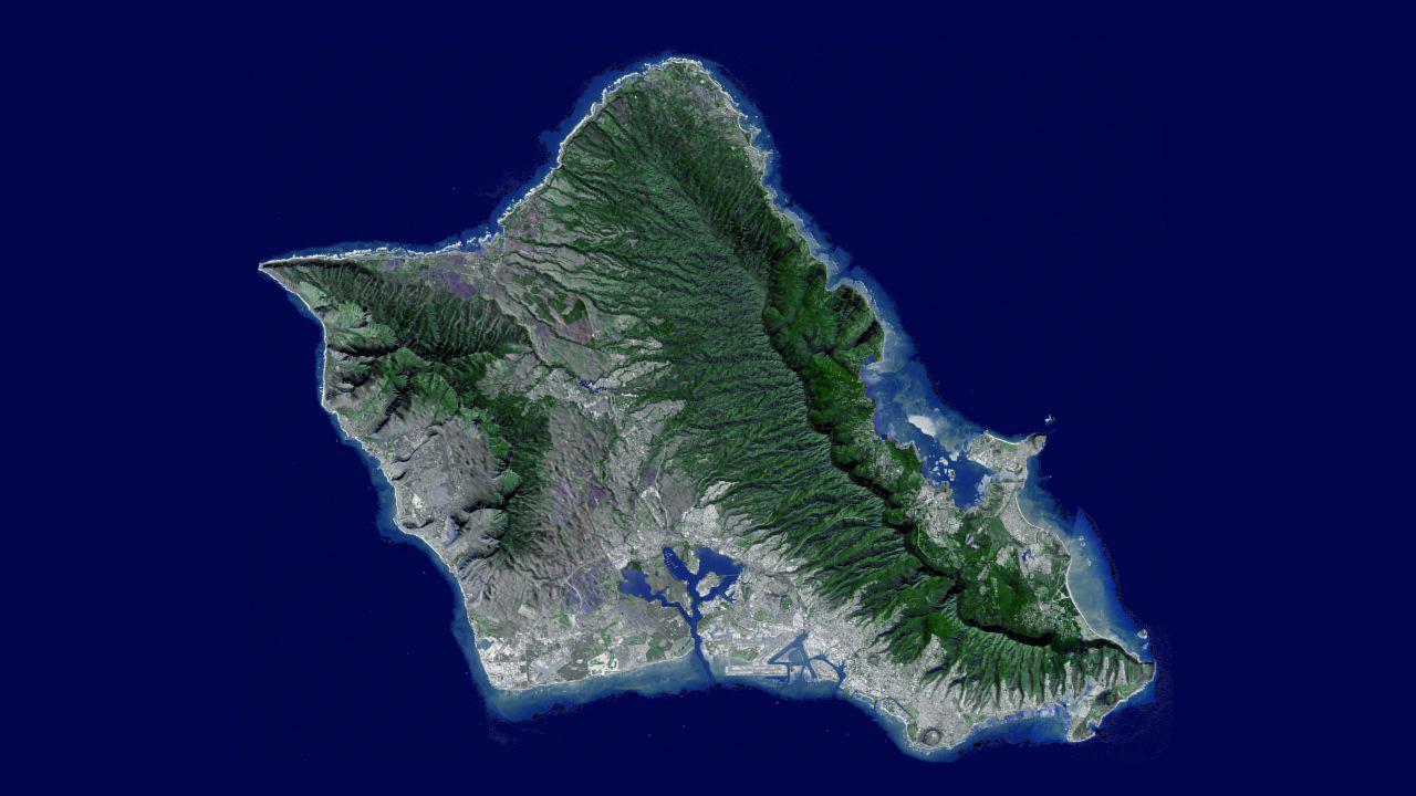
1996-01-29 | Earth |
Galileo |
Solid-State Imaging |
800x800x3 |

|
|||||
|
|
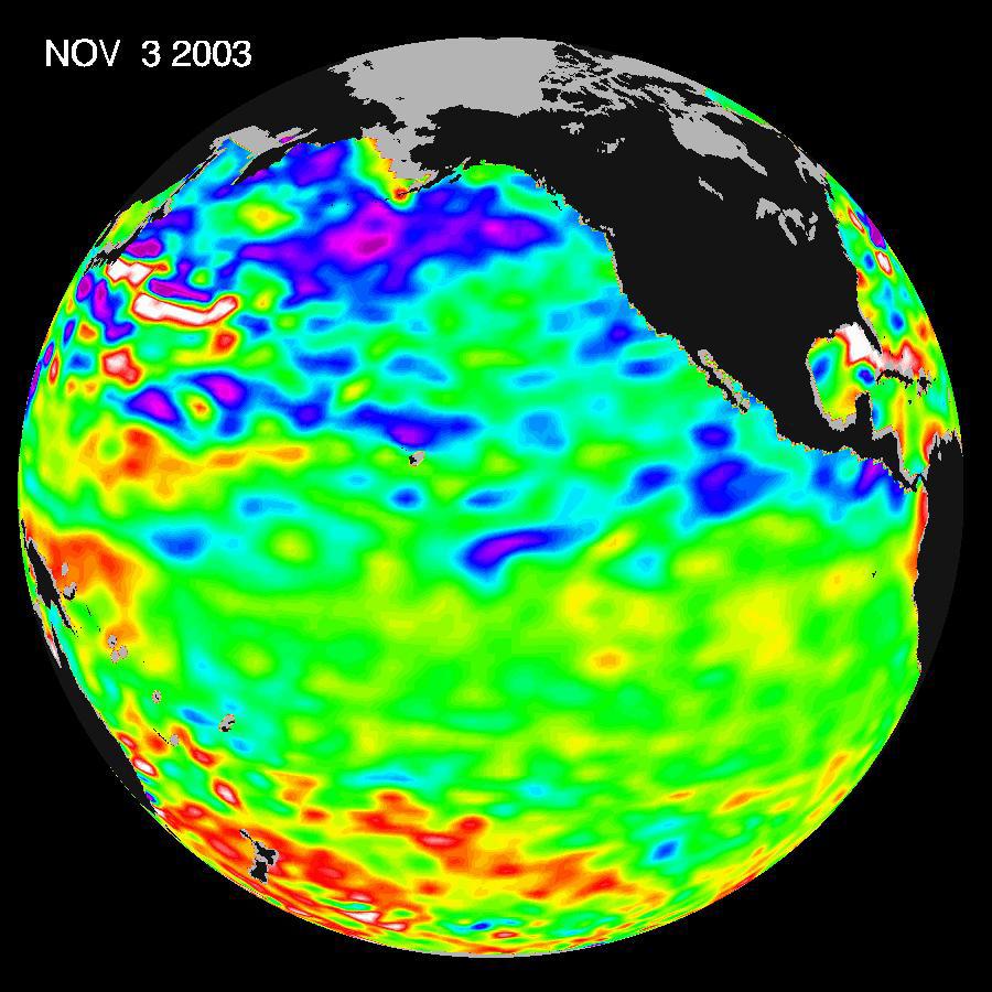
2003-11-18 | Earth |
Jason-1 |
Altimeter |
900x900x3 |
|
|||||
|
|
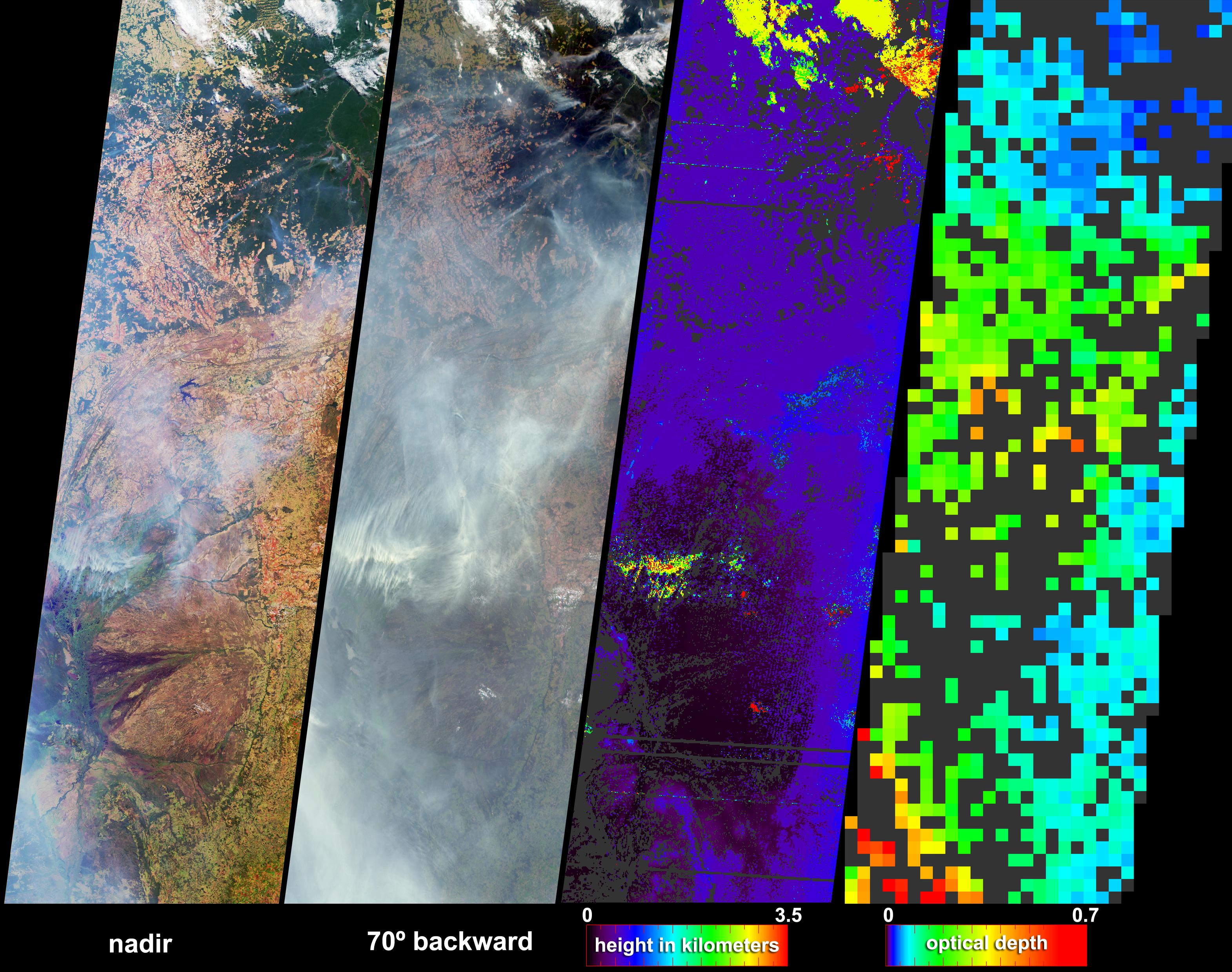
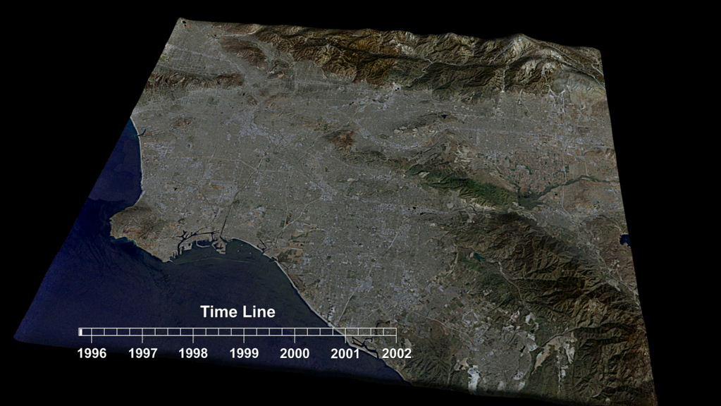
2004-07-07 | Earth |
Terra |
MISR |
3141x2477x3 |
|
|||||
|
|
2010-02-19 | Earth |
GRACE |
K-Band Ranging System |
1279x720x3 |
|
|||||
|
|
2005-01-12 | Earth |
Terra |
MISR |
1245x1090x3 |
|
|||||
|
|
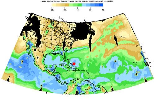
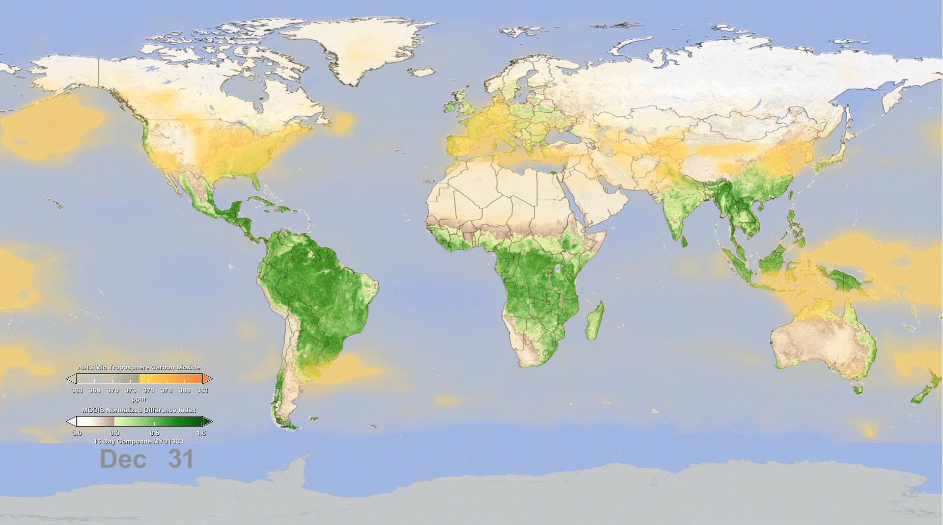
2004-08-30 | Earth |
Aqua |
AIRS |
500x342x3 |
|
|||||
|
|
2005-06-02 | Earth |
Aura |
MLS |
720x540x3 |
|
|||||
|
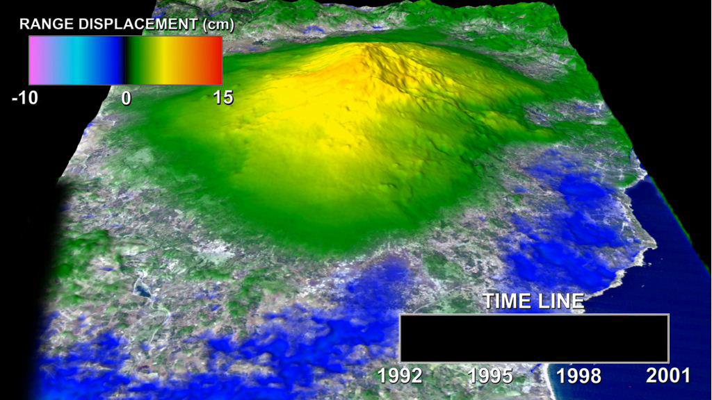
|
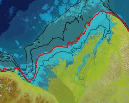
2005-08-29 | Earth |
Shuttle Radar Topography Mission (SRTM) |
C-Band Imaging Radar X-Band Radar |
3000x2519x3 |

|
|||||
|
|
2005-08-29 | Earth |
Shuttle Radar Topography Mission (SRTM) |
C-Band Imaging Radar X-Band Radar |
1800x2061x3 |

|
|||||
|
|
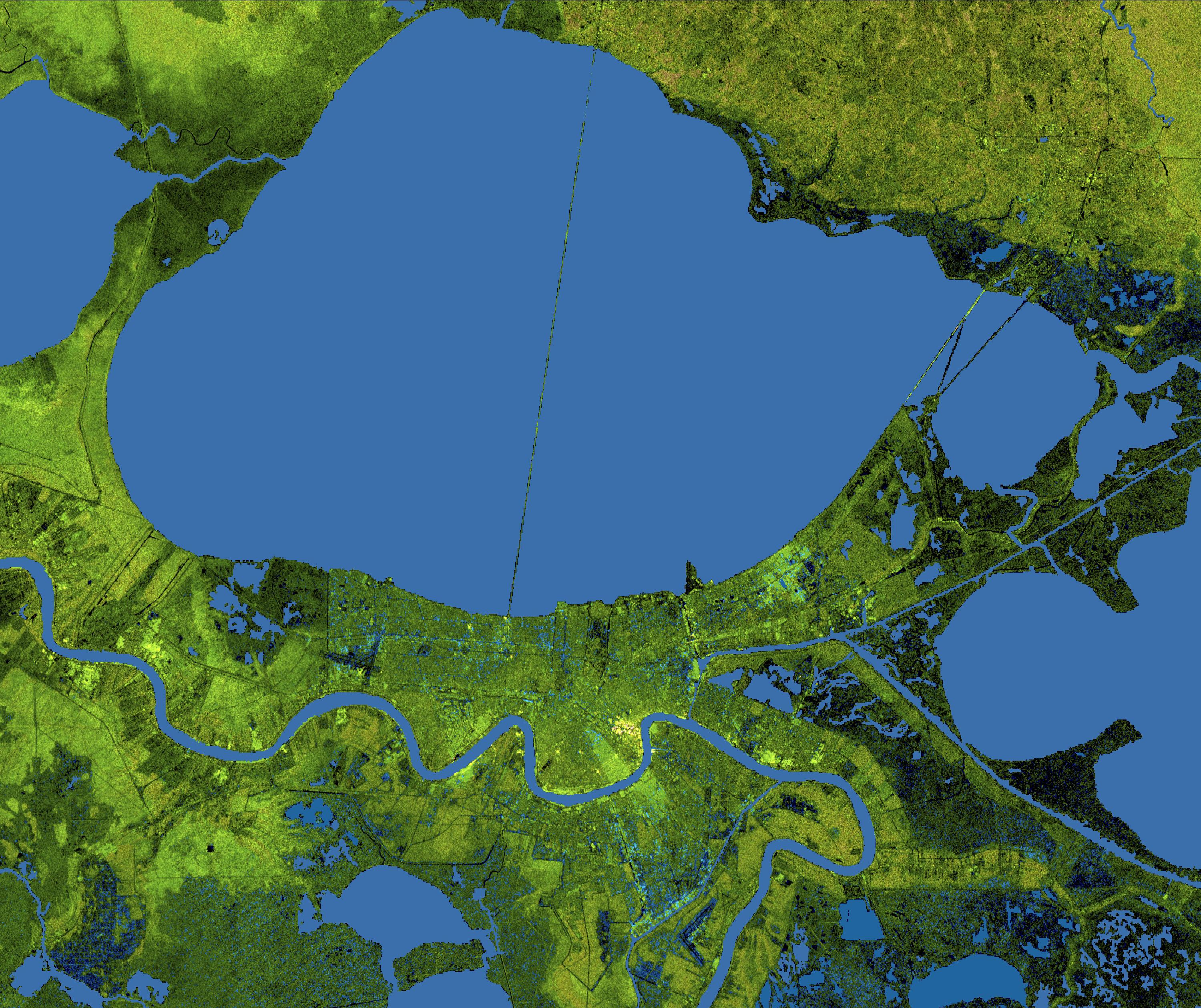
2005-08-31 | Earth |
Terra |
MISR |
3008x3164x3 |
|
|||||
|
|
2005-09-22 | Earth |
Shuttle Radar Topography Mission (SRTM) |
C-Band Imaging Radar X-Band Imaging Radar |
3621x1525x3 |
|
|||||
|
|
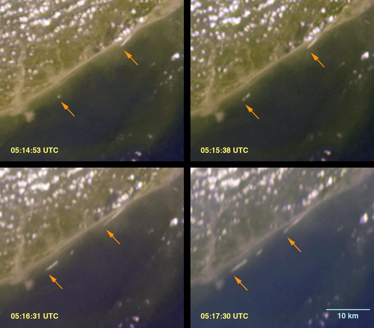
2005-10-13 | Earth |
Landsat |
Interferometric Synthetic Aperture Radar |
1793x1706x3 |
|
|||||
|
|
2005-12-22 | Earth |
Stardust |
714x481x3 | |

|
|||||
|
|
2005-12-22 | Earth |
Stardust |
600x444x3 | |
|
|||||
|
|
2005-12-22 | Earth |
Stardust |
717x417x3 | |
|
|||||
|
|
2005-12-22 | Earth |
Stardust |
715x481x3 | |
|
|||||
|
|
2005-08-02 | Earth |
MESSENGER |
MDIS - Wide Angle |
507x507x3 |

|
|||||
|
|
2001-10-22 | Earth |
Terra |
ASTER |
1200x1354x3 |
|
|||||
|
|
2001-10-22 | Earth |
Terra |
ASTER |
340x256x3 |

|
|||||
|
|
2009-04-27 | Earth |
Jason-1 OSTM/Jason-2 |
Altimeter |
1010x654x3 |
|
|||||
|
|
2009-06-29 | Earth |
Terra |
ASTER |
1281x718x3 |

|
|||||
|
|
2009-06-29 | Earth |
Terra |
ASTER |
1280x720x3 |
|
|||||
|
|
2009-09-04 | Earth |
Aqua |
AIRS |
640x500x3 |
|
|||||
|
|
2010-07-07 | Earth |
GRACE |
K-Band Ranging System |
777x745x3 |

|
|||||
|
|
2011-06-09 | Earth |
Terra |
MISR |
1205x1545x3 |
|
|||||
|
|
2011-07-26 | Earth |
Aqua |
AIRS |
1276x744x3 |
|
|||||
|
|
2011-08-18 | Earth | 455x256x3 | ||
|
|||||
|
|
2011-10-17 | Earth |
Terra |
ASTER |
1280x720x3 |
|
|||||
|
|
2012-02-06 | Earth |
Terra |
ASTER |
1023x575x3 |
|
|||||
|
|
2012-02-06 | Earth |
European Remote Sensing Satellite Mission (ERS) |
Synthetic Aperture Radar (SAR) |
1024x576x3 |
|
|||||
|
|
2012-02-06 | Earth | 1023x574x3 | ||
|
|||||
|
|
2012-02-06 | Earth | 1023x578x3 | ||
|
|||||
|
|
2012-02-06 | Earth |
Shuttle Radar Topography Mission (SRTM) |
1024x576x3 | |
|
|||||
|
|
2012-02-06 | Earth |
European Remote Sensing Satellite Mission (ERS) |
Synthetic Aperture Radar (SAR) |
1023x576x3 |
|
|||||
|
|
2012-02-06 | Earth |
Aura |
TES |
1115x560x3 |
|
|||||
|
|
2012-02-06 | Earth |
Aura |
TES |
1021x575x3 |
|
|||||
|
|
2012-02-02 | Earth |
GRACE |
K-Band Ranging System |
1058x720x3 |
|
|||||
|
|
2012-06-29 | Earth |
Aqua |
AIRS MODIS |
1920x1070x3 |

|
|||||
|
|
2012-10-01 | Earth |
Terra |
ASTER InSAR |
1024x575x3 |
|
|||||
|
|
2012-10-30 | Earth |
CloudSat |
Cloud Profiling Radar (CPR) |
1201x206x3 |
|
|||||
|
|
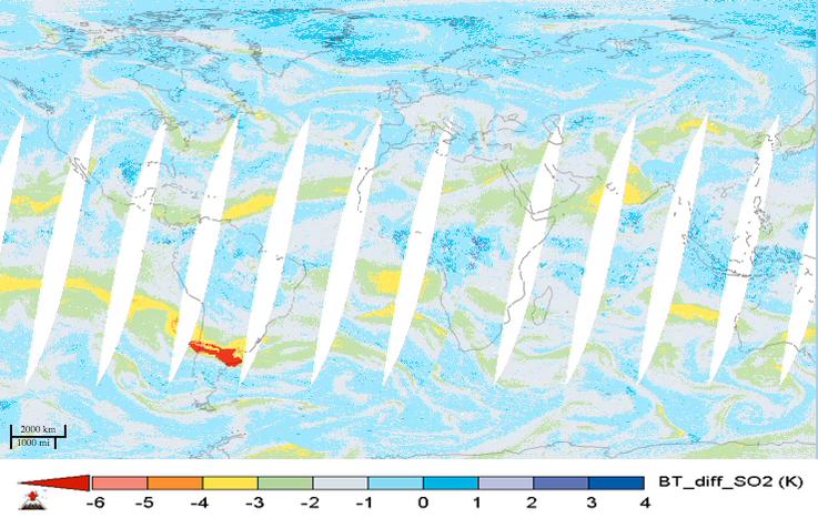
2013-08-27 | Earth |
Aqua |
AIRS |
1279x713x3 |
|
|||||
|
|
2013-10-26 | Earth |
GRACE |
K-Band Ranging System |
1297x708x3 |
|
|||||
|
|
2013-12-10 | Earth |
Juno |
Waves |
1920x834x3 |

|
|||||
|
|
2013-12-10 | Earth |
Juno |
Star Tracker |
483x376x3 |

|
|||||
|
|
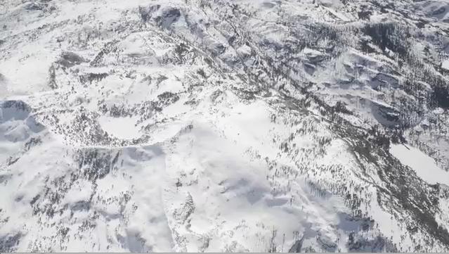
2013-12-09 | Earth |
Airborne Snow Observatory |
639x361x3 | |
|
|||||
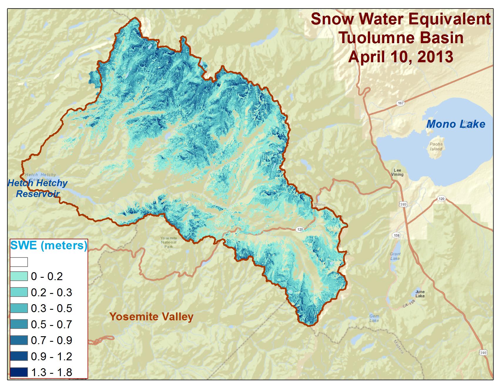
|
|
2013-12-09 | Earth |
Airborne Snow Observatory |
1705x1318x3 | |
|
|||||
|
|
2014-03-05 | Earth |
Terra |
MODIS |
436x348x3 |
|
|||||
|
|
2014-08-08 | Earth |
LDSD |
959x540x3 | |
|
|||||
|
|
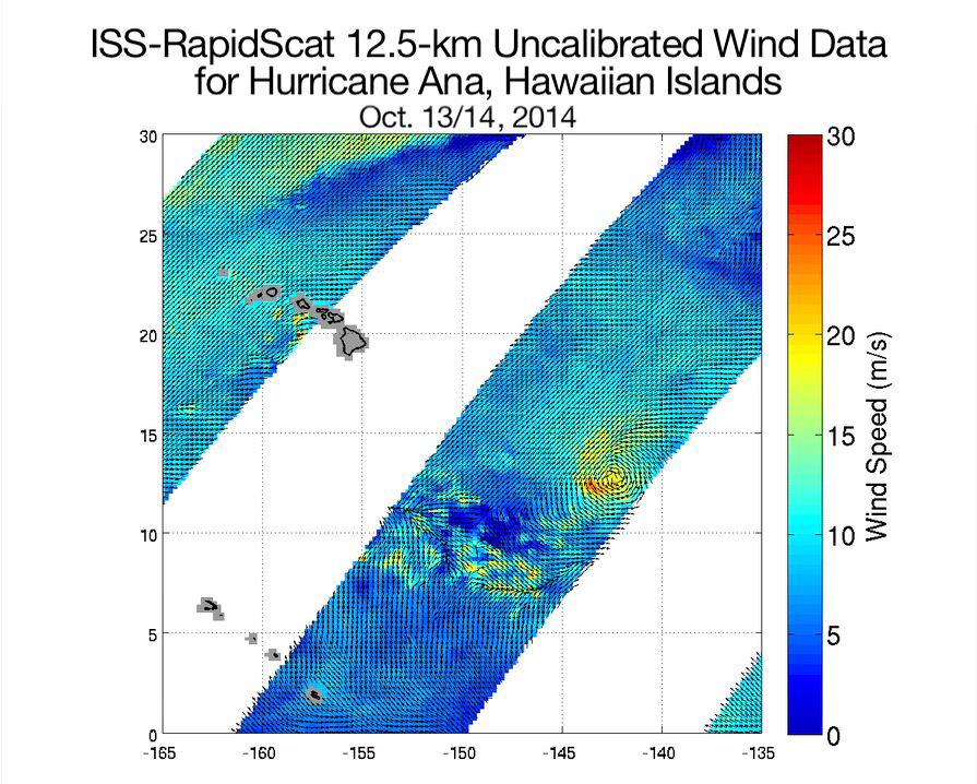
2014-10-21 | Earth |
RapidScat |
ISS-RapidScat |
895x718x3 |

|
|||||
|
|
2015-05-07 | Earth |
Aqua |
AIRS |
737x467x3 |
|
|||||
|
|
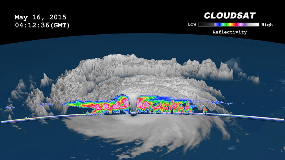
2015-05-22 | Earth |
CloudSat |
MODIS |
960x540x3 |
|
|||||
|
|
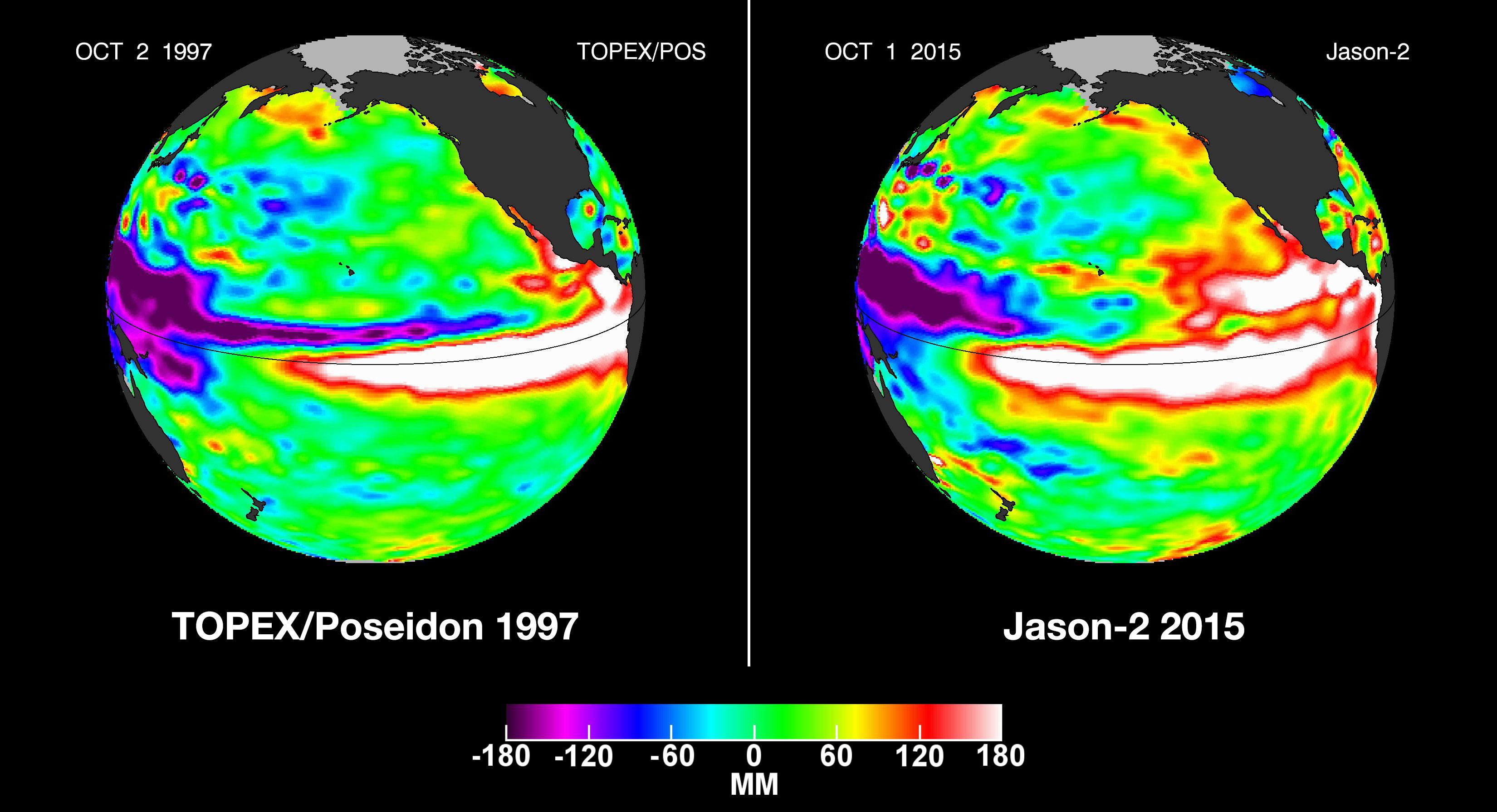
2015-10-19 | Earth |
OSTM/Jason-2 |
Altimeter |
3300x1791x3 |
|
|||||
|
|
2015-11-06 | Earth |
RapidScat |
ISS-RapidScat |
2816x2134x3 |
|
|||||
|
|
2016-05-11 | Earth |
Aqua |
AIRS |
914x569x3 |
|
|||||
|
|
2016-10-04 | Earth |
Terra |
MISR |
493x1040x1 |
|
|
|||||
|
|
2016-10-14 | Earth |
Aqua |
MODIS VIIRS |
1000x1000x3 |
|
|||||

|
 |
|
|
|
|
|
|
|
 |
 |

|
| 1-100 | 101-200 | 201-300 | 301-400 | 401-500 | 501-600 | 601-700 | 701-800 | 801-900 | 901-1000 |
| Currently displaying images: 801 - 900 of 1172 |