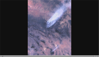
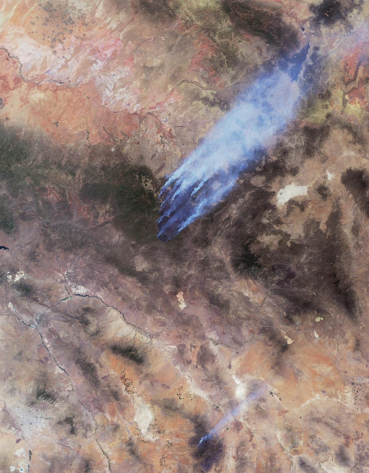
Click on the image for the animationThis image and accompanying animation from NASA's Multi-angle Imaging SpectroRadiometer (MISR) instrument on the Terra spacecraft show the Wallow and Horseshoe 2 Fires currently burning in Arizona. The data were acquired mid-morning (local time) on June 7, 2011. As of June 8, the large Wallow fire in the White Mountains has burned more than 389,000 acres (more than 608 square miles, or 1,574 square kilometers) and is currently the second largest fire in Arizona history. More than 2,000 people are working to contain the fire, which is being driven by high winds and low humidity. The smaller Horseshoe 2 Fire in the Chiricahua Mountains has burned more than 106,000 acres (166 square miles, or more than 429 square kilometers) in southeastern Arizona.
The Wallow Fire is in the center of the MISR image. Nearly 10 distinct bluish-colored smoke plumes can be seen blowing toward the upper right (northeast). The green pine forests of the White Mountains stand out against the lighter desert background. In this image, the windblown smoke is seen extending into New Mexico; smoke from this fire has been carried over the Great Plains as far as Iowa. The city of Tucson, Az., is in the lower left portion of the image, and appears in shades of gray. The bright region to the east of Tucson is the Wilcox Playa, and smoke from the Horseshoe 2 Fire is visible to the east. The entire image covers an area measuring 206 miles (331 kilometers) by 264 miles (425 kilometers).
The animation shows sequential views from MISR's nine cameras, which observe the scene over a period of seven minutes from different view angles. Smoke can be seen rising from local hot spots due to the time lapse between the different images. The images at the beginning and end of the sequence are from MISR's more oblique cameras and observe a longer path through the atmosphere, making the smoke appear thicker and easier to resolve against the bright desert background. The areas with no data (shown in black and present at the oblique angles) are locations where the variable terrain has obscured lower elevation ground.
MISR was built and is managed by NASA's Jet Propulsion Laboratory, Pasadena, Calif., for NASA's Science Mission Directorate, Washington, D.C. The Terra satellite is managed by NASA's Goddard Space Flight Center, Greenbelt, Md. The MISR data were obtained from the NASA Langley Research Center Atmospheric Science Data Center. JPL is a division of the California Institute of Technology.
