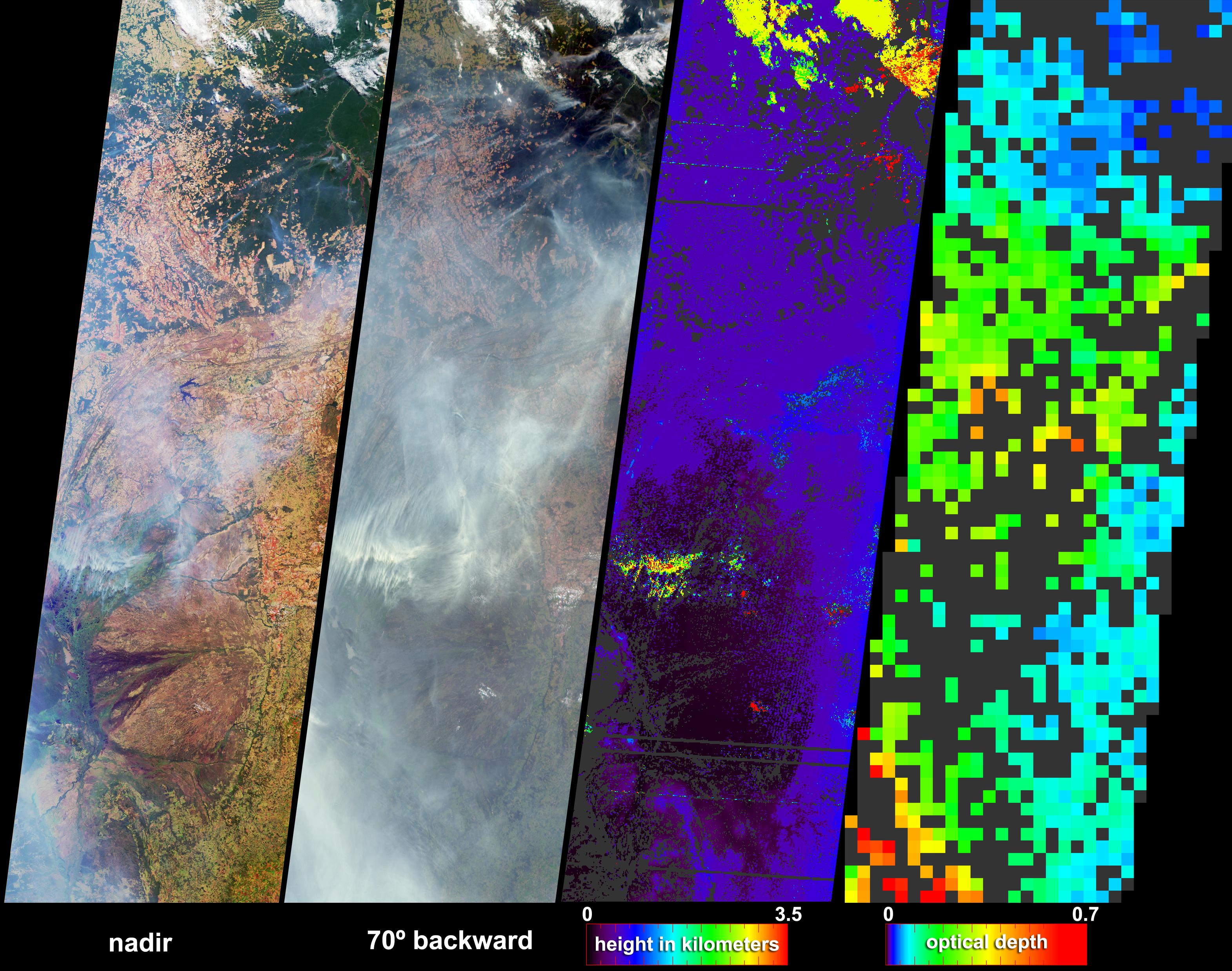
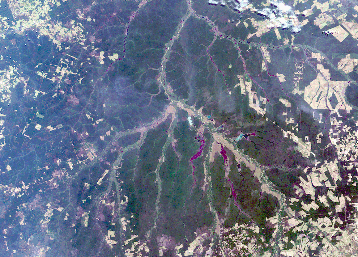
Numerous fires occurred near the headwaters of the Xingu River and the Xingu Indigenous Peoples' Reserve in Mato Grosso, Brazil, during late June and early July. These data products from the Multi-angle Imaging SpectroRadiometer (MISR) depict smoke abundance and the heights attained by smoke plumes on June 29, 2004. The four image panels extend from the Xingu headwaters region (upper right), to the great alluvial fan of the Taquari River in Mato Grosso do Sul (lower left) and just beyond the Brazil-Paraguay border. In addition to the four-image panel, an animation comparing the Xingu headwaters region on May 26, 2000 and May 21, 2004, illustrates land use changes that have occurred over the past four years. The opportunity for fires to occur in new areas of the Amazon forests tends to increase as new roads are established and more land is cleared.
The left and center-left panels are natural color views from MISR's nadir and 70° backward-viewing cameras, respectively. A stereoscopic height field (center-right) and an aerosol optical depth retrieval (right) were generated using automated processing of data from multiple MISR cameras. Heights were retrieved for clouds, and also for smoke that exhibited sufficient spatial contrast between several view angles to be retrieved by MISR's feature matching algorithm. Several noticeably thick wisps of smoke (situated below and to the left of image center) echo the shapes of the northeast-southwest trending mountain ranges of the Planalto do Mato Grosso. Analysis of the wind-corrected stereo height field indicates that the smoke attained heights about 3.5 kilometers above the surface, and cumulus clouds attained heights about one kilometer higher. Terrain elevation data are displayed when the stereo matcher determines that a location is not covered by a feature above the surface, and areas where height could not be retrieved are shown in dark gray. In the lower left, a pall of smoke not clearly discernible at the nadir view is readily apparent at the 70° oblique view and in the aerosol retrieval. The aerosol optical depth retrieval utilizes changes in surface brightness and contrast at different view angles to obtain a quantitative measurement of aerosol amount. An optically thick atmosphere is indicated by green, yellow, orange or red pixels, and clearer skies are indicated by blue pixels. Areas where the smoke was too thick to see surface contrast, or where the presence of clouds precluded an aerosol retrieval, are shown in dark gray.
The Multi-angle Imaging SpectroRadiometer observes the daylit Earth continuously and every 9 days views the entire globe between 82 degrees north and 82 degrees south latitude. The non-animated data products were generated from a portion of the imagery acquired during Terra orbits 24104, and the animation was derived from orbits 2333 and 23536. The still panels cover an area of about 380 kilometers x 1264 kilometers, and utilize data from blocks 99 to 106 within World Reference System-2 path 226.
MISR was built and is managed by NASA's Jet Propulsion Laboratory, Pasadena, CA, for NASA's Office of Earth Science, Washington, DC. The Terra satellite is managed by NASA's Goddard Space Flight Center, Greenbelt, MD. JPL is a division of the California Institute of Technology.
