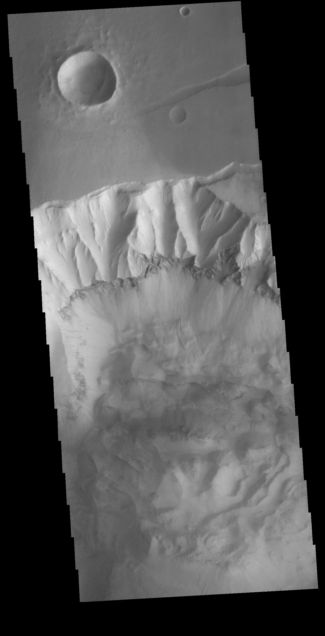
Context imageToday's VIS image shows part of the northern cliff face of Ophir Chasma. The bottom of the image is covered in deposits from large landslides. The dark band in the center of the image is a layer of material that is more resistant than the other parts of the cliff face. This layer is likely a thick volcanic flow or intruded dike. Ophir Chasma is approximately 317km long (197 miles).
Orbit Number: 90846 Latitude: -3.13307 Longitude: 287.349 Instrument: VIS Captured: 2022-06-07 13:34
Please see the THEMIS Data Citation Note for details on crediting THEMIS images.
NASA's Jet Propulsion Laboratory manages the 2001 Mars Odyssey mission for NASA's Science Mission Directorate, Washington, D.C. The Thermal Emission Imaging System (THEMIS) was developed by Arizona State University, Tempe, in collaboration with Raytheon Santa Barbara Remote Sensing. The THEMIS investigation is led by Dr. Philip Christensen at Arizona State University. Lockheed Martin Astronautics, Denver, is the prime contractor for the Odyssey project, and developed and built the orbiter. Mission operations are conducted jointly from Lockheed Martin and from JPL, a division of the California Institute of Technology in Pasadena.
