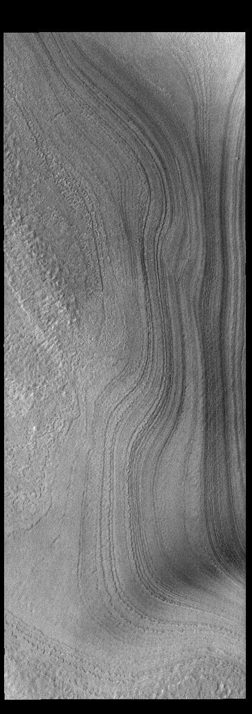
Context imageThis VIS image shows layering in the south polar cap. The layers are formed over thousands of years of seasonal change, reflecting ice and dust surface deposition. Where the layers appear close to each other are steep trough sides. The steeper the slope, the closer the layers. This image was collected during summer at the south polar cap.
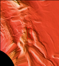
Orbit Number: 91750 Latitude: -85.7516 Longitude: 177.751 Instrument: VIS Captured: 2022-08-20 23:34
Please see the THEMIS Data Citation Note for details on crediting THEMIS images.
NASA's Jet Propulsion Laboratory manages the 2001 Mars Odyssey mission for NASA's Science Mission Directorate, Washington, D.C. The Thermal Emission Imaging System (THEMIS) was developed by Arizona State University, Tempe, in collaboration with Raytheon Santa Barbara Remote Sensing. The THEMIS investigation is led by Dr. Philip Christensen at Arizona State University. Lockheed Martin Astronautics, Denver, is the prime contractor for the Odyssey project, and developed and built the orbiter. Mission operations are conducted jointly from Lockheed Martin and from JPL, a division of the California Institute of Technology in Pasadena.
