My
List |
Addition Date
|
Target
|
Mission
|
Instrument
|
Size
|

|
2001-10-22 |
Earth
|
Terra
|
ASTER
|
1567x1811x3 |
|
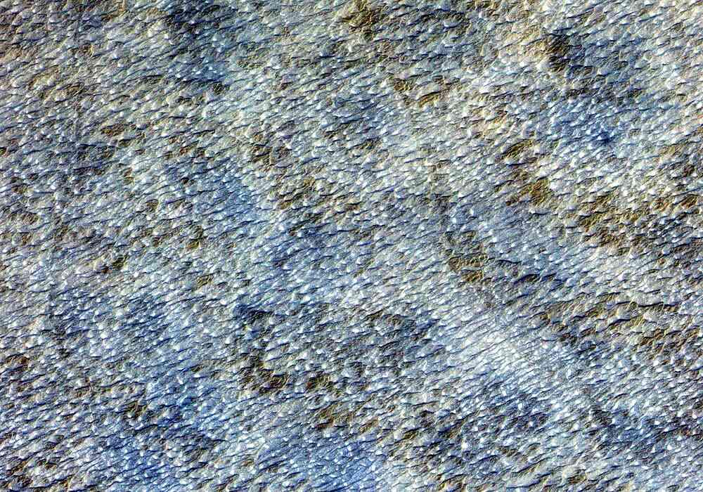
-
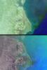
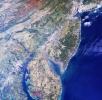
PIA11161:
-
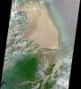
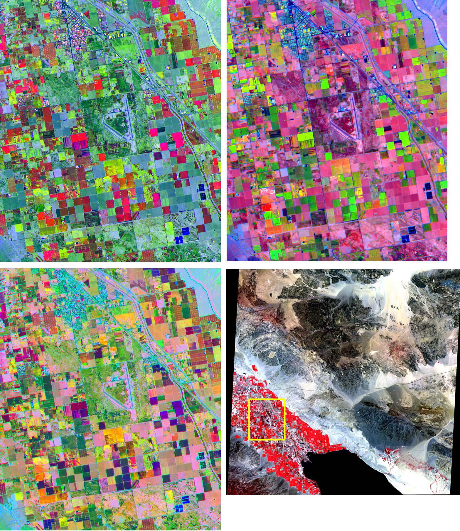
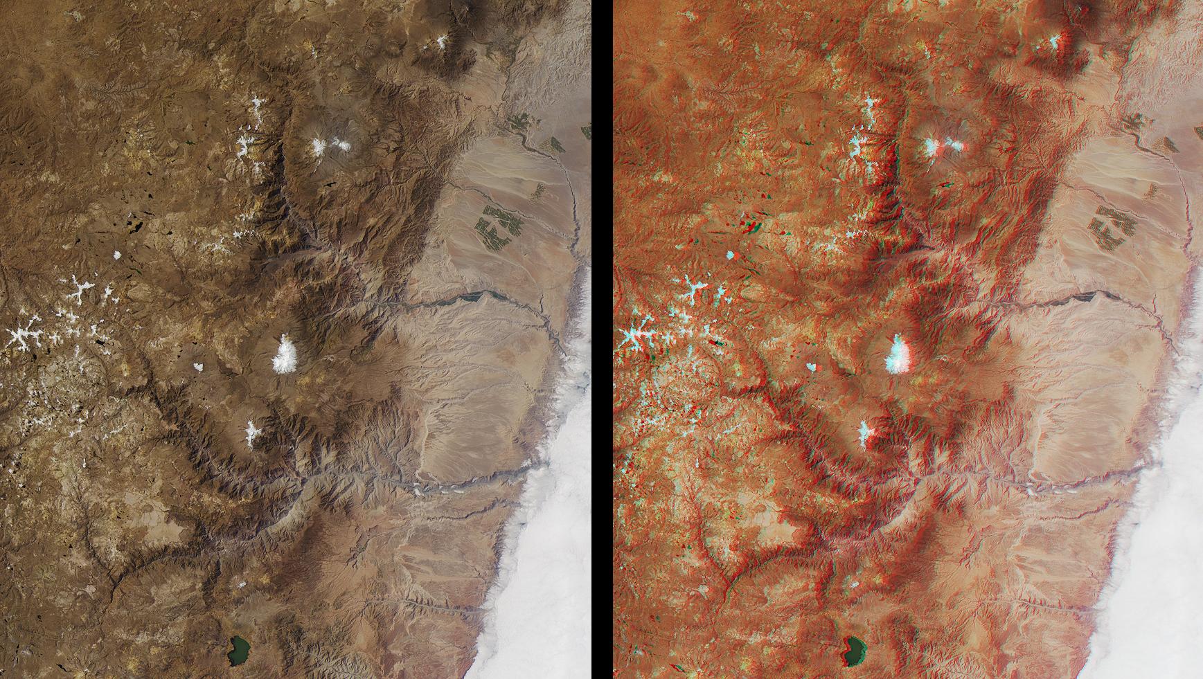
Coachella Valley, CA
Full Resolution:
TIFF
(8.528 MB)
JPEG
(676 kB)
|
|
|
2001-10-22 |
Earth
|
Terra
|
ASTER
|
1200x1354x3 |
|
-
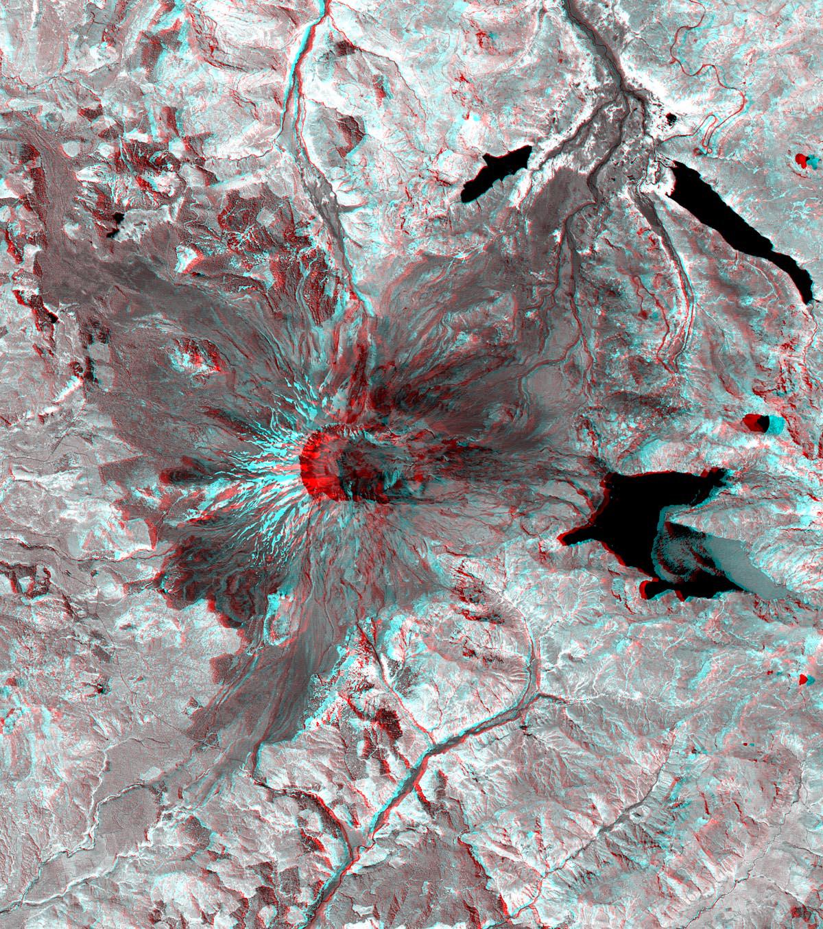
PIA11160:
-
Mt. St. Helens

Full Resolution:
TIFF
(4.88 MB)
JPEG
(460.2 kB)
|
|
|
2001-10-22 |
Earth
|
Terra
|
ASTER
|
713x729x3 |
|
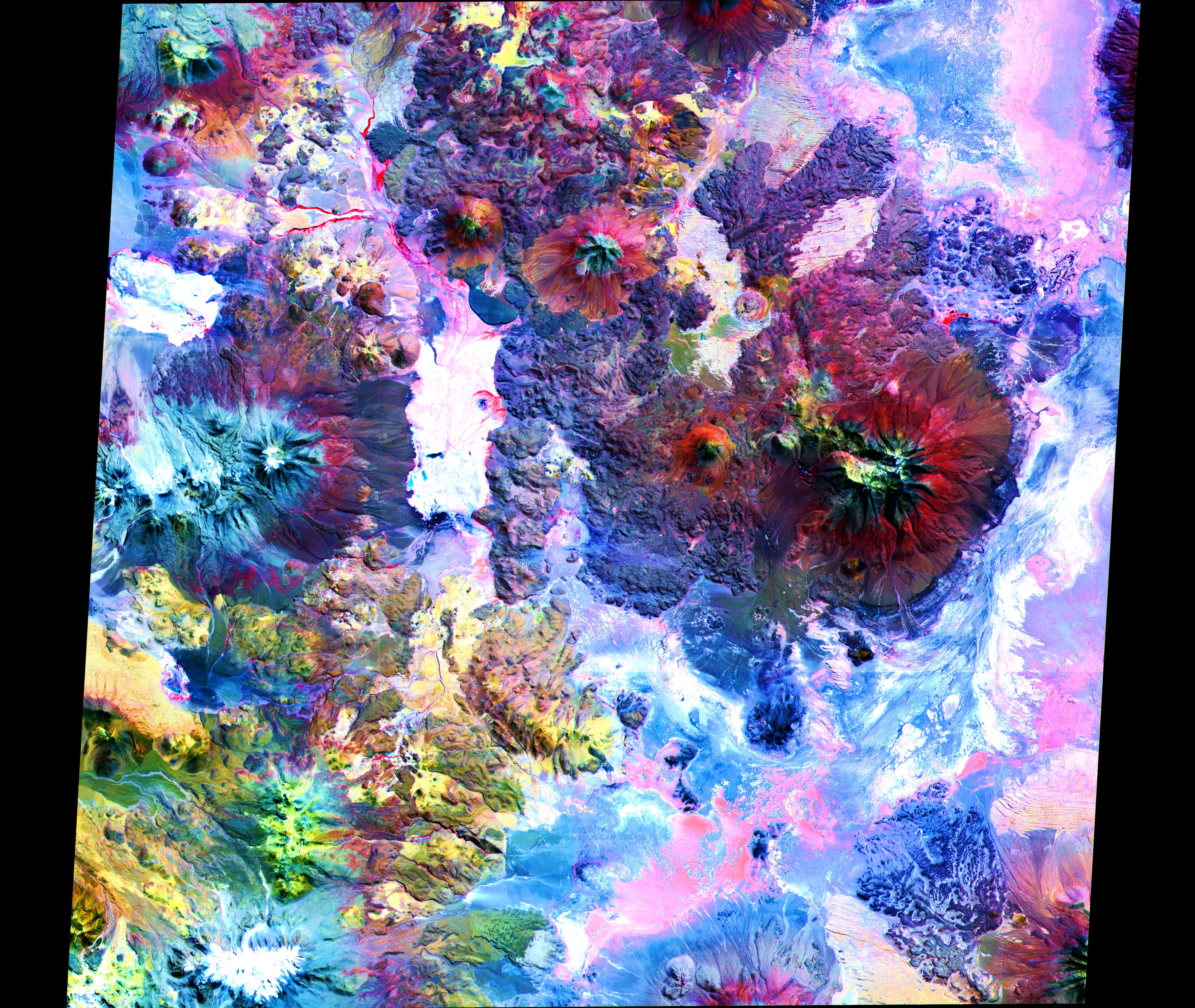
-
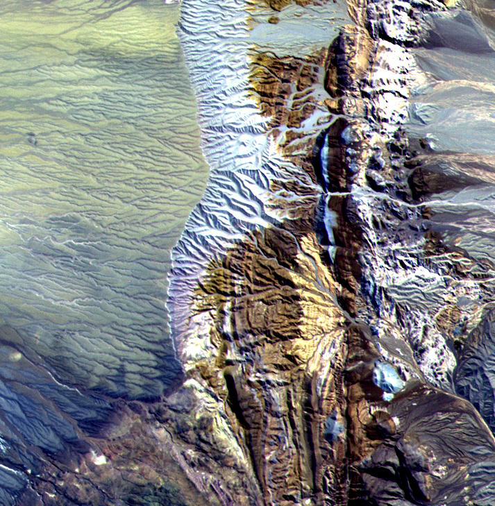
PIA11159:
-
Chile Altiplano Unconformity
Full Resolution:
TIFF
(1.562 MB)
JPEG
(147.2 kB)
|
|
|
2001-10-22 |
Earth
|
Terra
|
ASTER
|
3636x4008x3 |
|
-
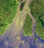
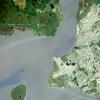
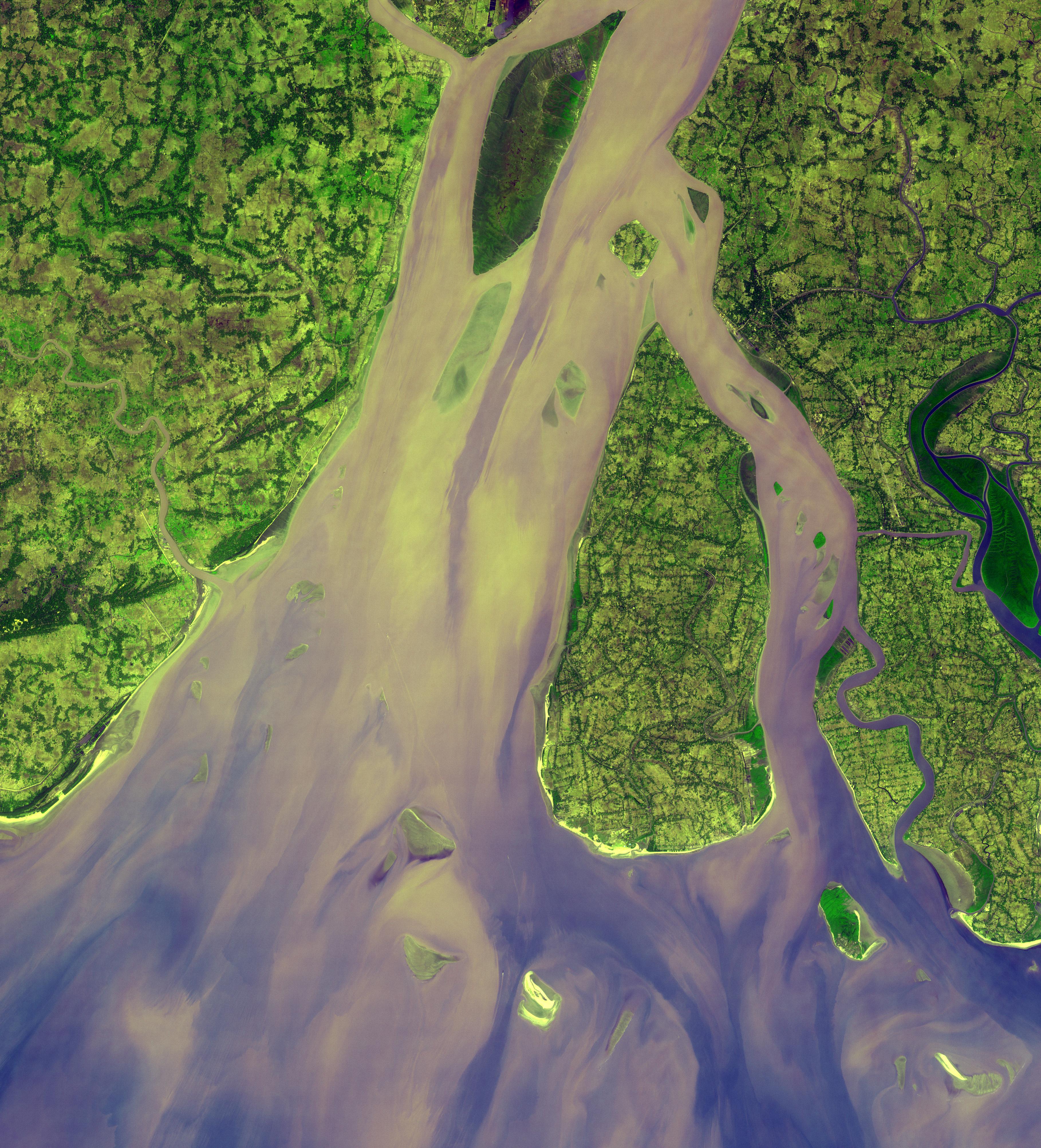
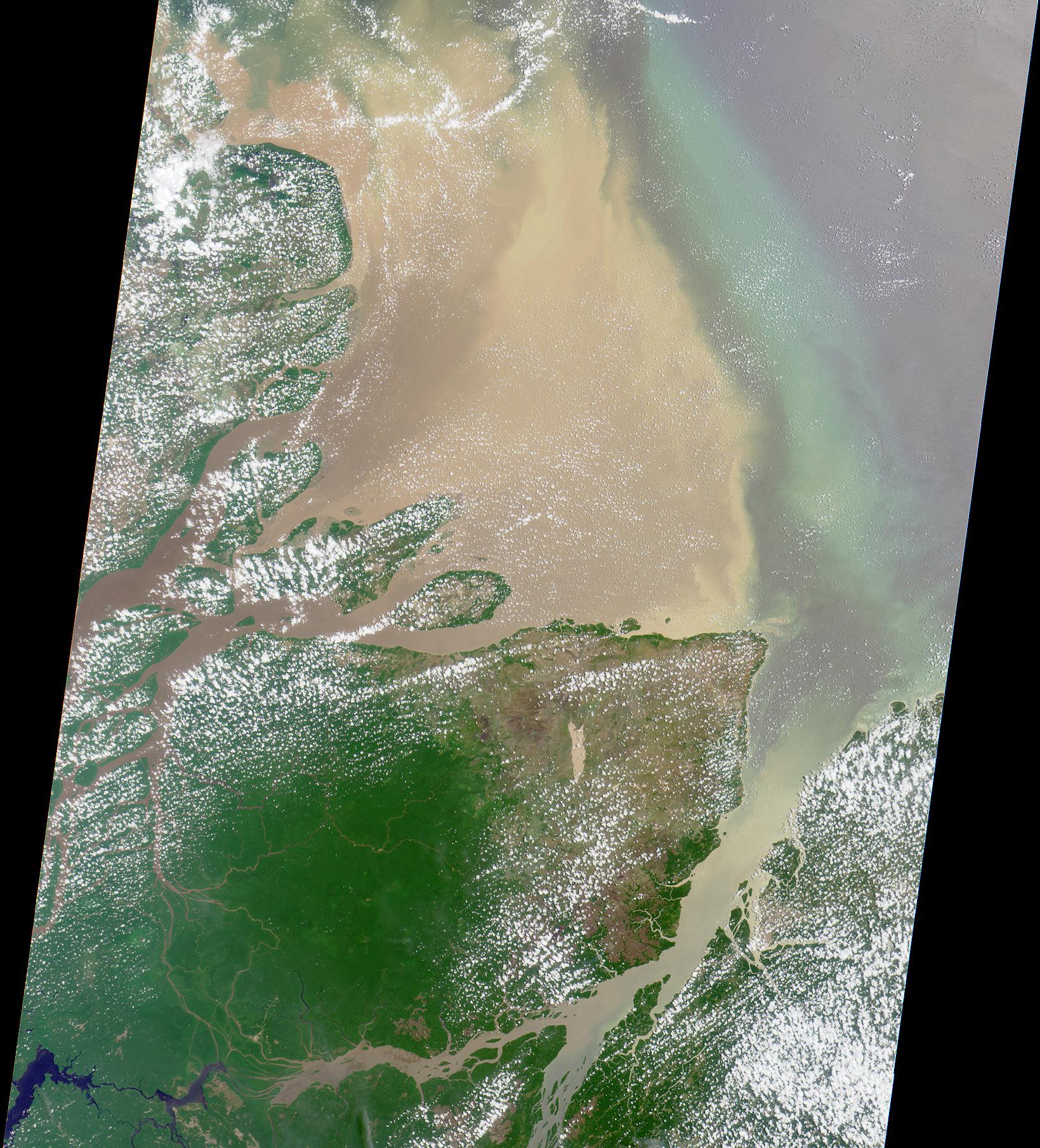
PIA11158:
-
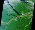
Hugli River Delta, India
Full Resolution:
TIFF
(43.72 MB)
JPEG
(2.484 MB)
|
|
|
2001-10-22 |
Earth
|
Terra
|
ASTER
|
1800x2200x3 |
|
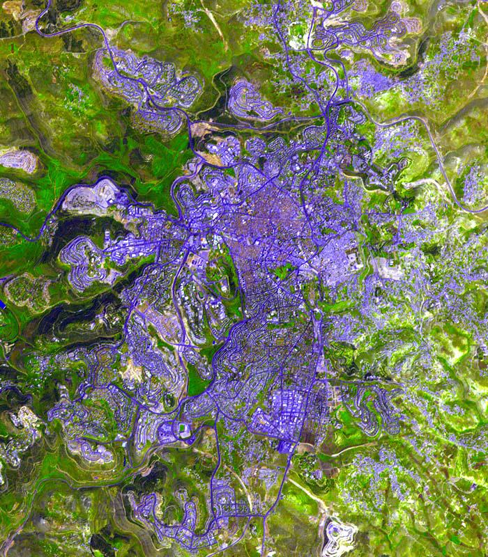
-
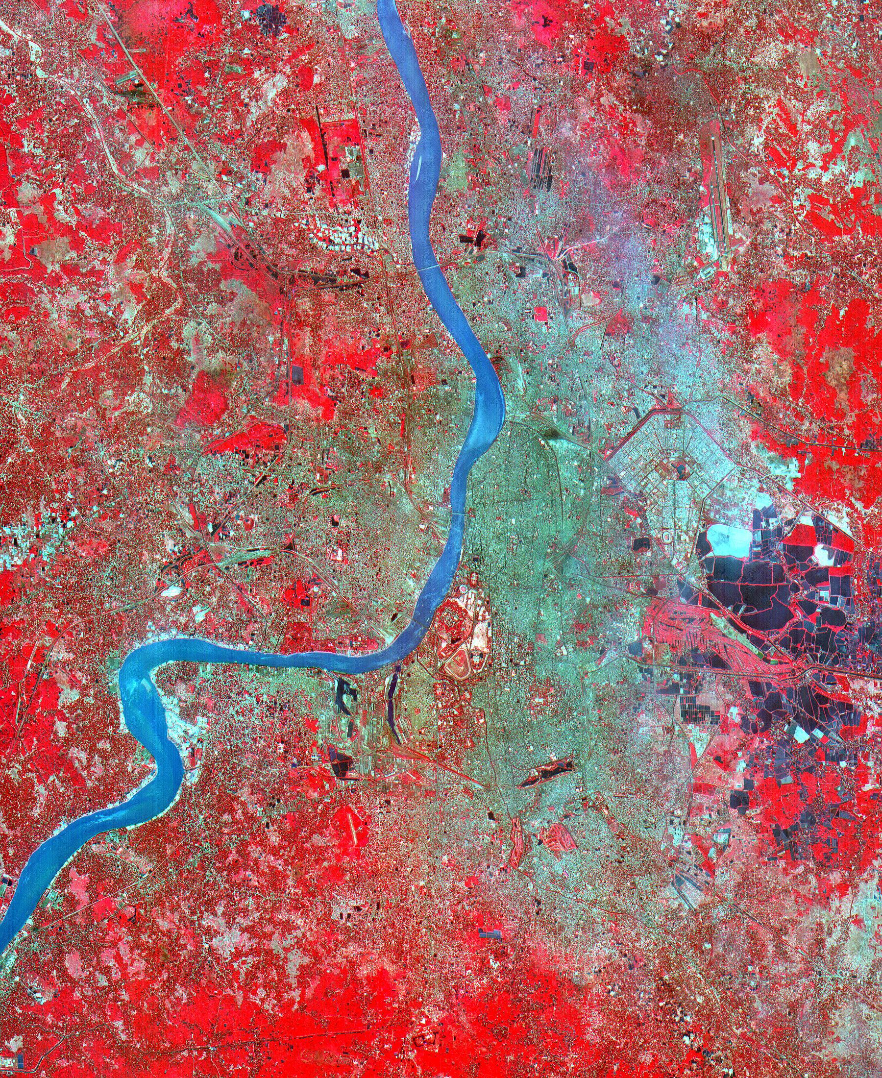
PIA11157:
-
Calcutta
Full Resolution:
TIFF
(11.9 MB)
JPEG
(1.91 MB)
|
|
|
2001-10-22 |
Earth
|
Terra
|
ASTER
|
1000x700x3 |
|
-
PIA11099:
-
Sand Dunes, Afghanistan
Full Resolution:
TIFF
(2.103 MB)
JPEG
(229.1 kB)
|
|
|
2001-10-22 |
Earth
|
Terra
|
ASTER
|
700x800x3 |
|
-
PIA11098:
-
Jerusalem
Full Resolution:
TIFF
(1.682 MB)
JPEG
(193.9 kB)
|
|
|
2001-10-22 |
Earth
|
Terra
|
ASTER
|
1273x925x3 |
|
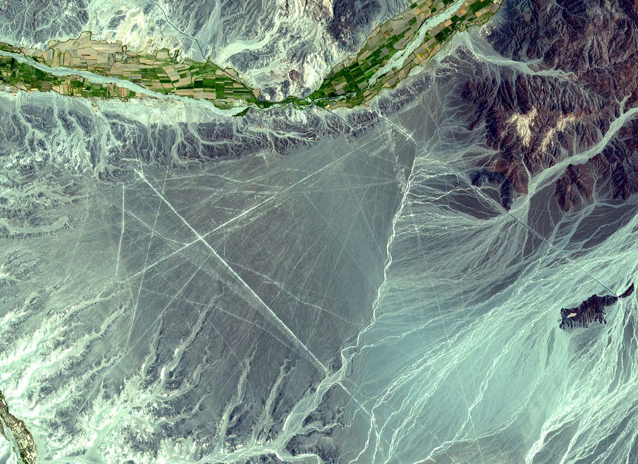
-
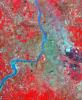
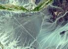
PIA11097:
-
Nasca Lines, Peru
Full Resolution:
TIFF
(3.537 MB)
JPEG
(301.1 kB)
|
|
|
2001-10-22 |
Earth
|
Terra
|
ASTER
|
2254x1887x3 |
|
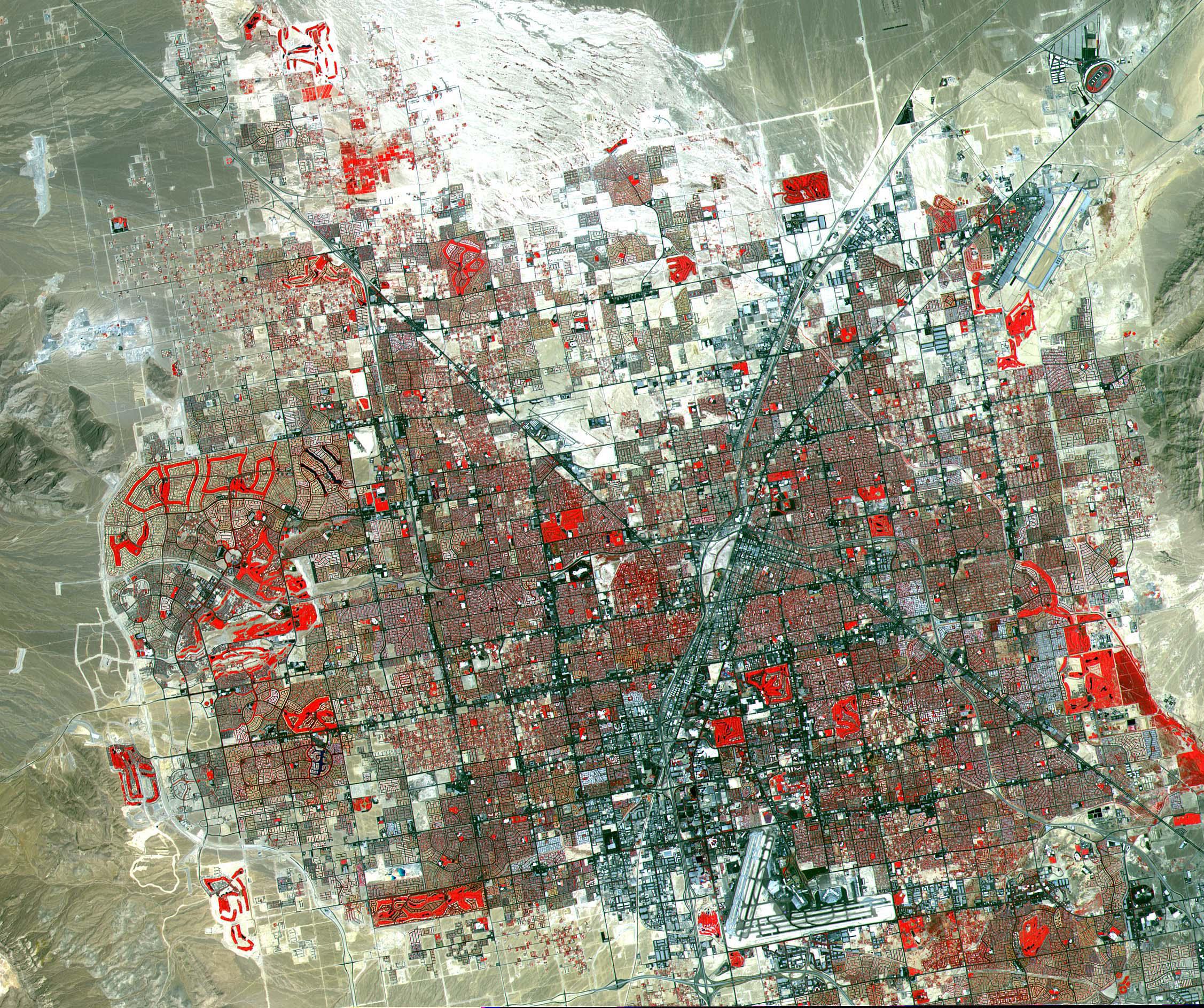
-
PIA11096:
-
Las Vegas
Full Resolution:
TIFF
(12.78 MB)
JPEG
(1.252 MB)
|
|
|
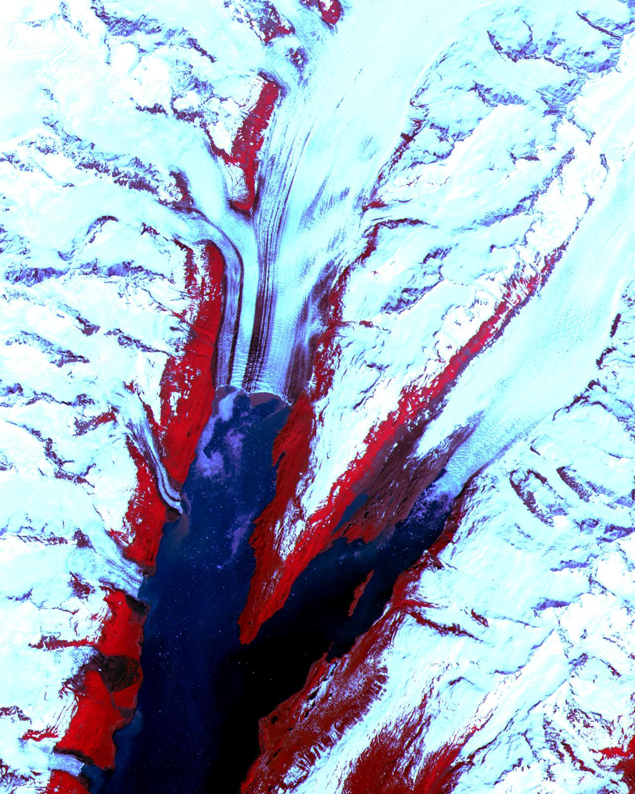
2001-10-22 |
Earth
|
Terra
|
ASTER
|
2547x3222x1 |
|
-
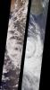
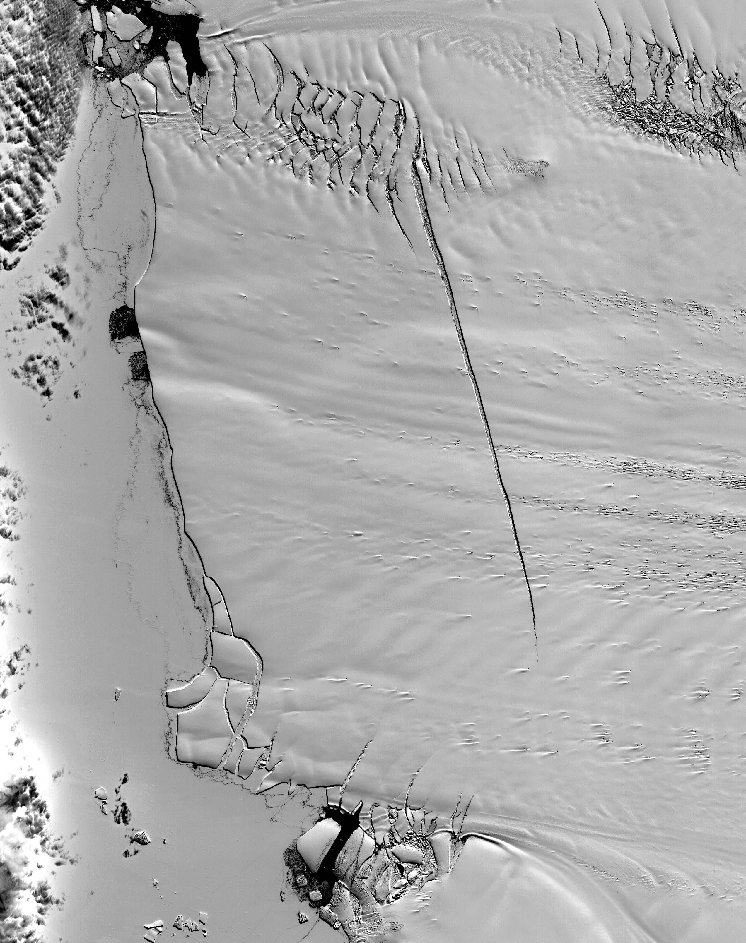
PIA11095:
-
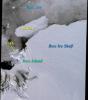
Pine Island Glacier, Antarctica
Full Resolution:
TIFF
(8.215 MB)
JPEG
(785.4 kB)
|
|
|
2001-10-22 |
Earth
|
Terra
|
ASTER
|
1300x1000x3 |
|
-
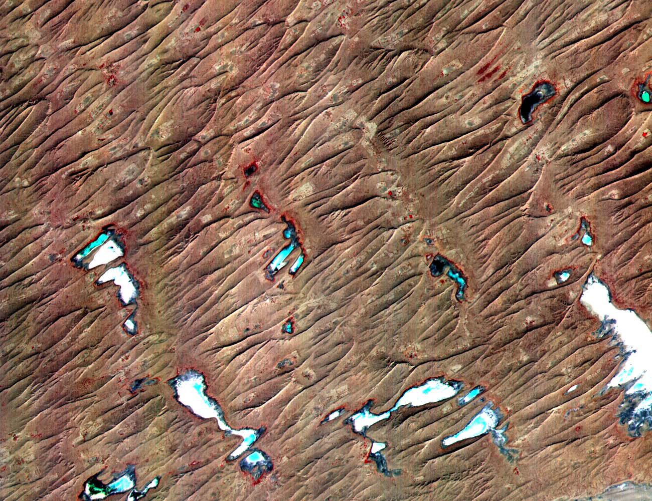
PIA11094:
-
Thar Desert
Full Resolution:
TIFF
(3.904 MB)
JPEG
(351.1 kB)
|
|
|
2001-10-22 |
Earth
|
Terra
|
ASTER
|
1694x921x3 |
|
-
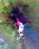
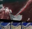
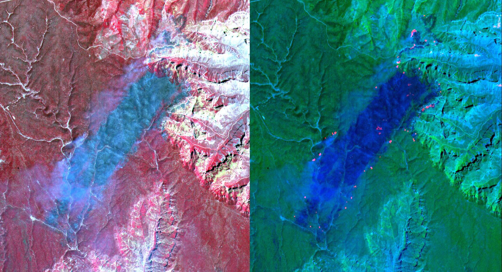
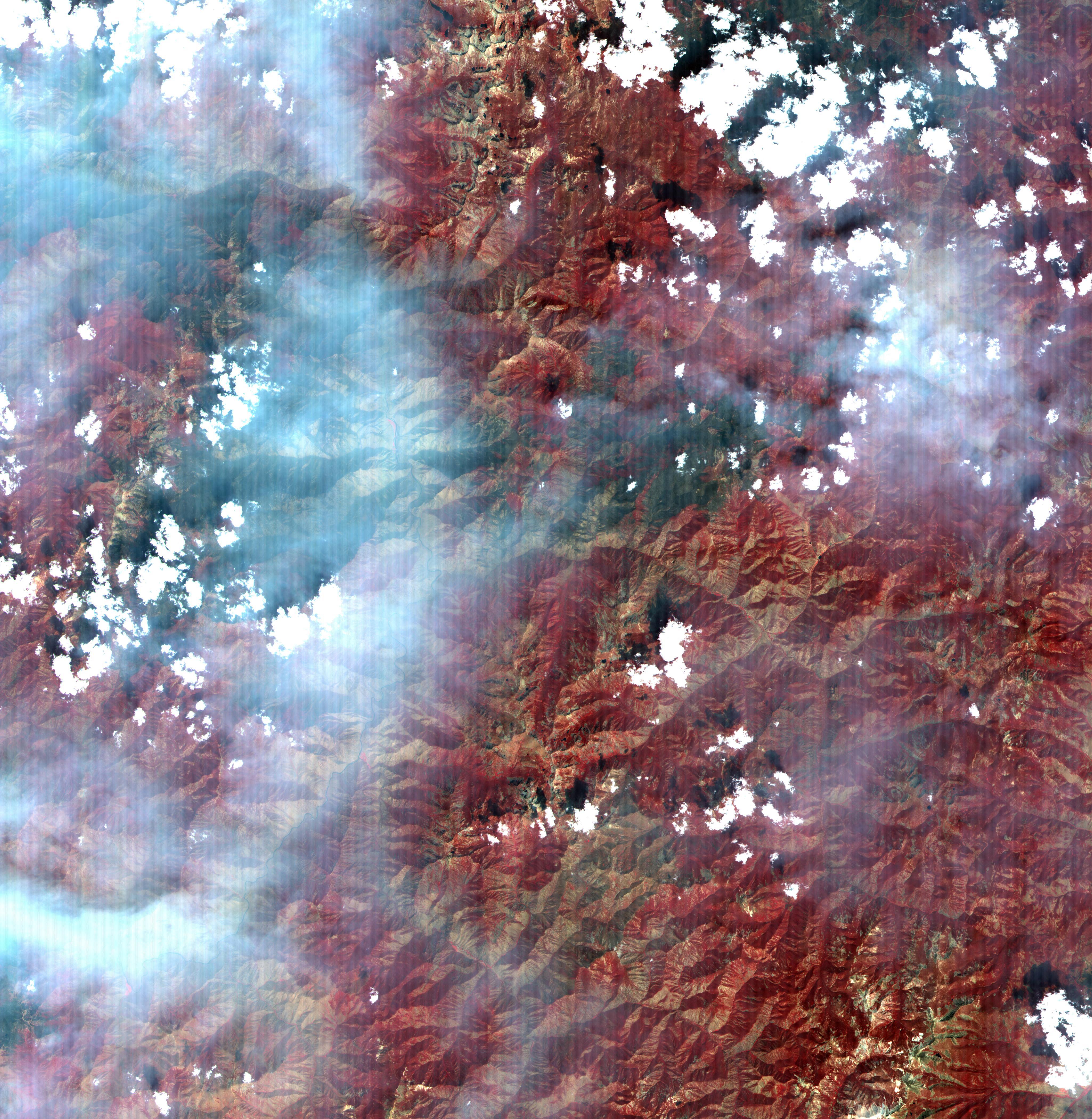
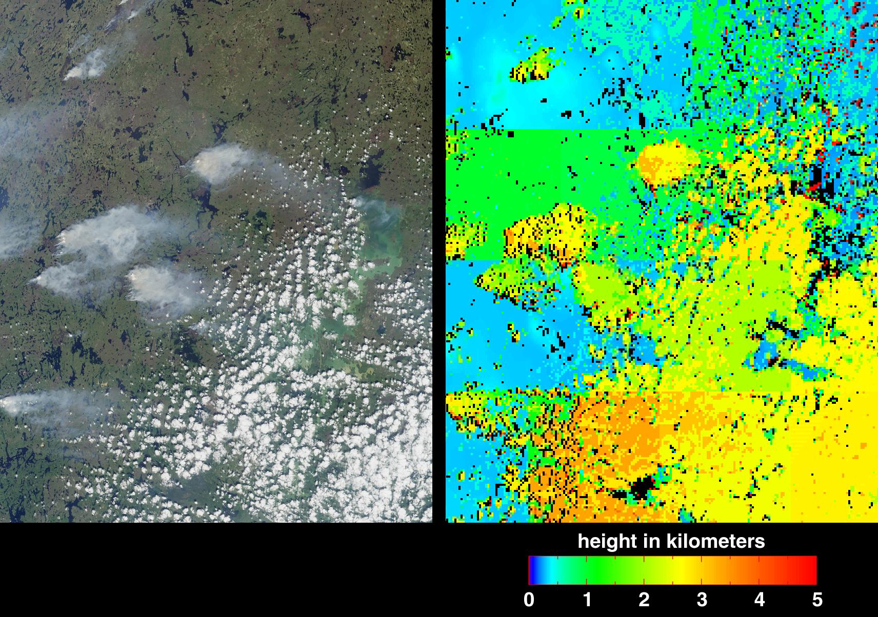
PIA11092:
-
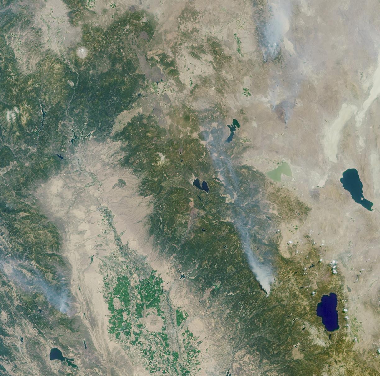
Arizona Forest Fire
Full Resolution:
TIFF
(4.688 MB)
JPEG
(343.9 kB)
|
|
|
2001-10-22 |
Earth
|
Terra
|
ASTER
|
600x540x3 |

|
-
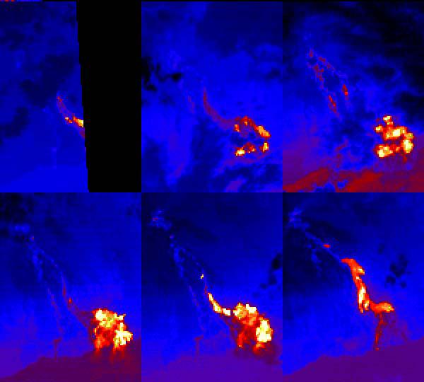
PIA11093:
-
Hawaii Lava Flows
Full Resolution:
TIFF
(973.3 kB)
JPEG
(26.82 kB)
|
|
|
2001-10-22 |
Earth
|
Terra
|
ASTER
|
3002x2477x3 |
|
-
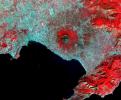
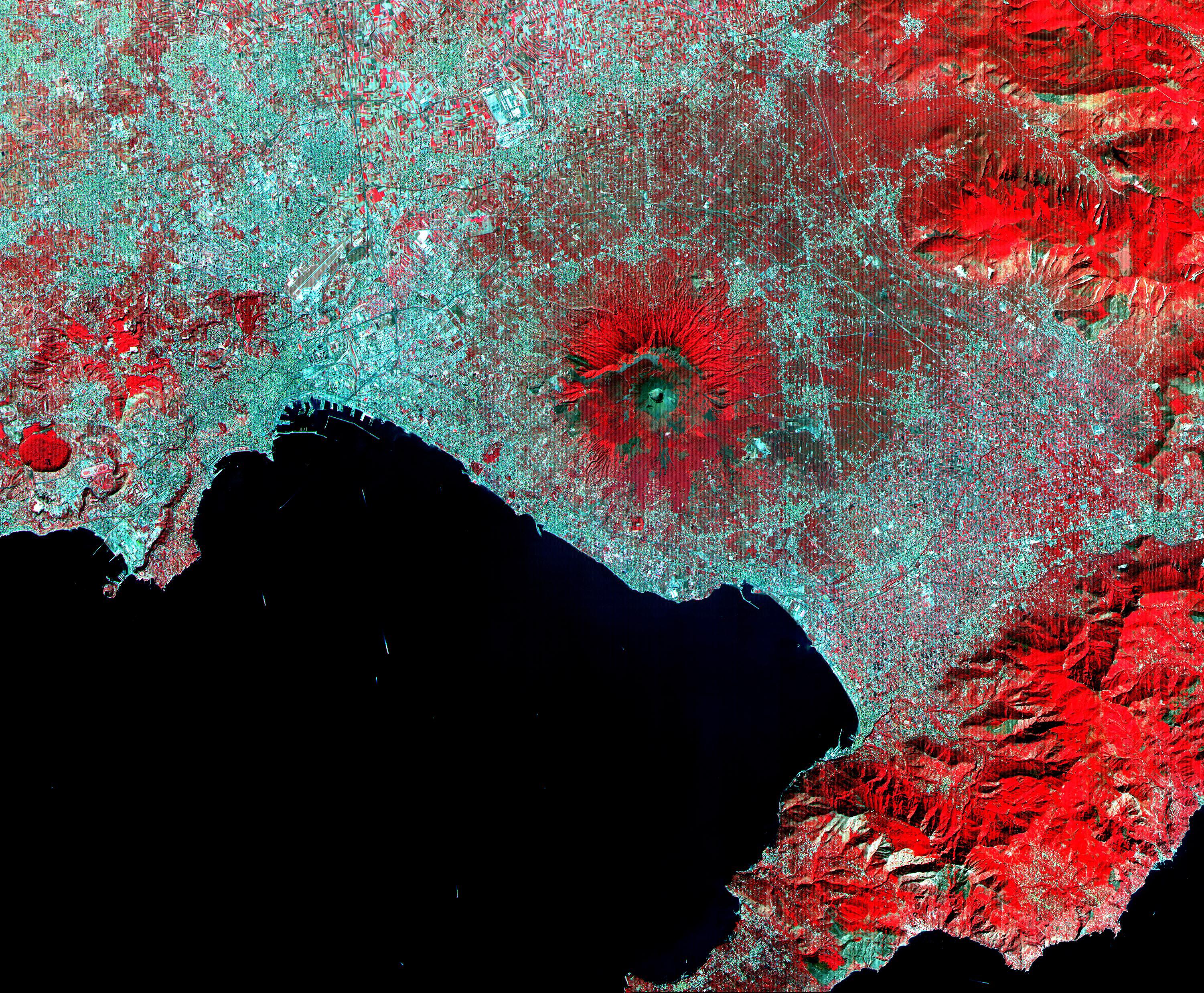
PIA11091:
-
Mt. Vesuvius, Italy
Full Resolution:
TIFF
(22.31 MB)
JPEG
(2.267 MB)
|
|
|
2001-10-22 |
Earth
|
Terra
|
ASTER
|
2000x2500x3 |
|
-
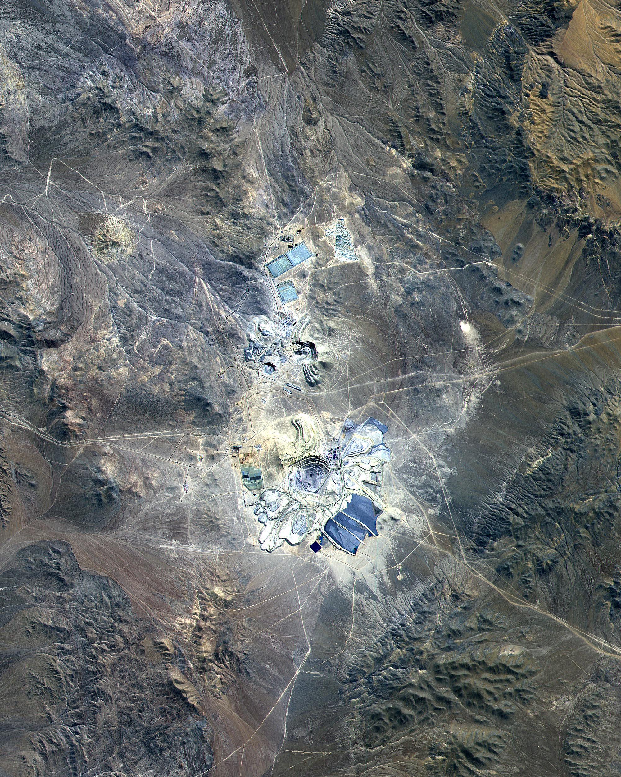
PIA11090:
-
Escondida Mine, Chile
Full Resolution:
TIFF
(15.02 MB)
JPEG
(1.402 MB)
|
|
|
2001-10-22 |
Earth
|
Terra
|
ASTER
|
1388x1167x3 |
|
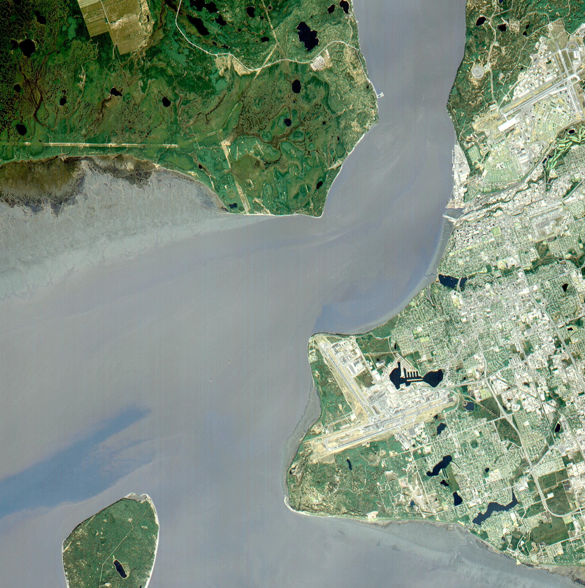
-
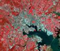
PIA11089:
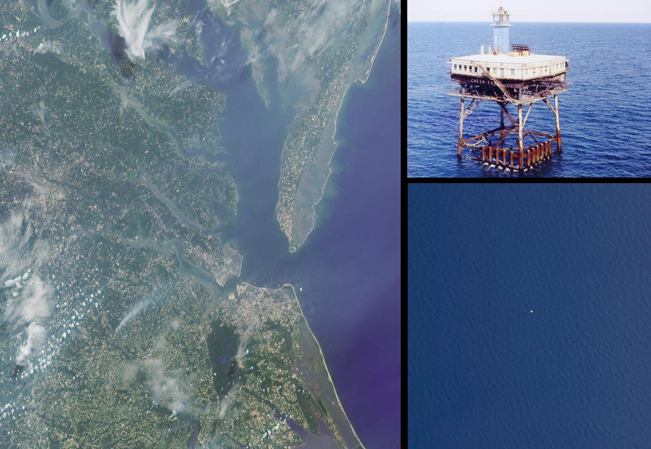
-
Baltimore, MD
Full Resolution:
TIFF
(4.869 MB)
JPEG
(565.4 kB)
|
|
|
2001-10-22 |
Earth
|
Terra
|
ASTER
|
4100x4200x3 |
|
-
PIA11088:
-
Idaho Fires
Full Resolution:
TIFF
(51.66 MB)
JPEG
(2.704 MB)
|
|
|
2001-10-22 |
Earth
|
Terra
|
ASTER
|
837x690x3 |

|
-
PIA11087:
-
Urbanization: Riyadh, Saudi Arabia
Full Resolution:
TIFF
(1.735 MB)
JPEG
(157.5 kB)
|
|
|
2001-10-22 |
Earth
|
Terra
|
ASTER
|
2000x1500x3 |

|
-
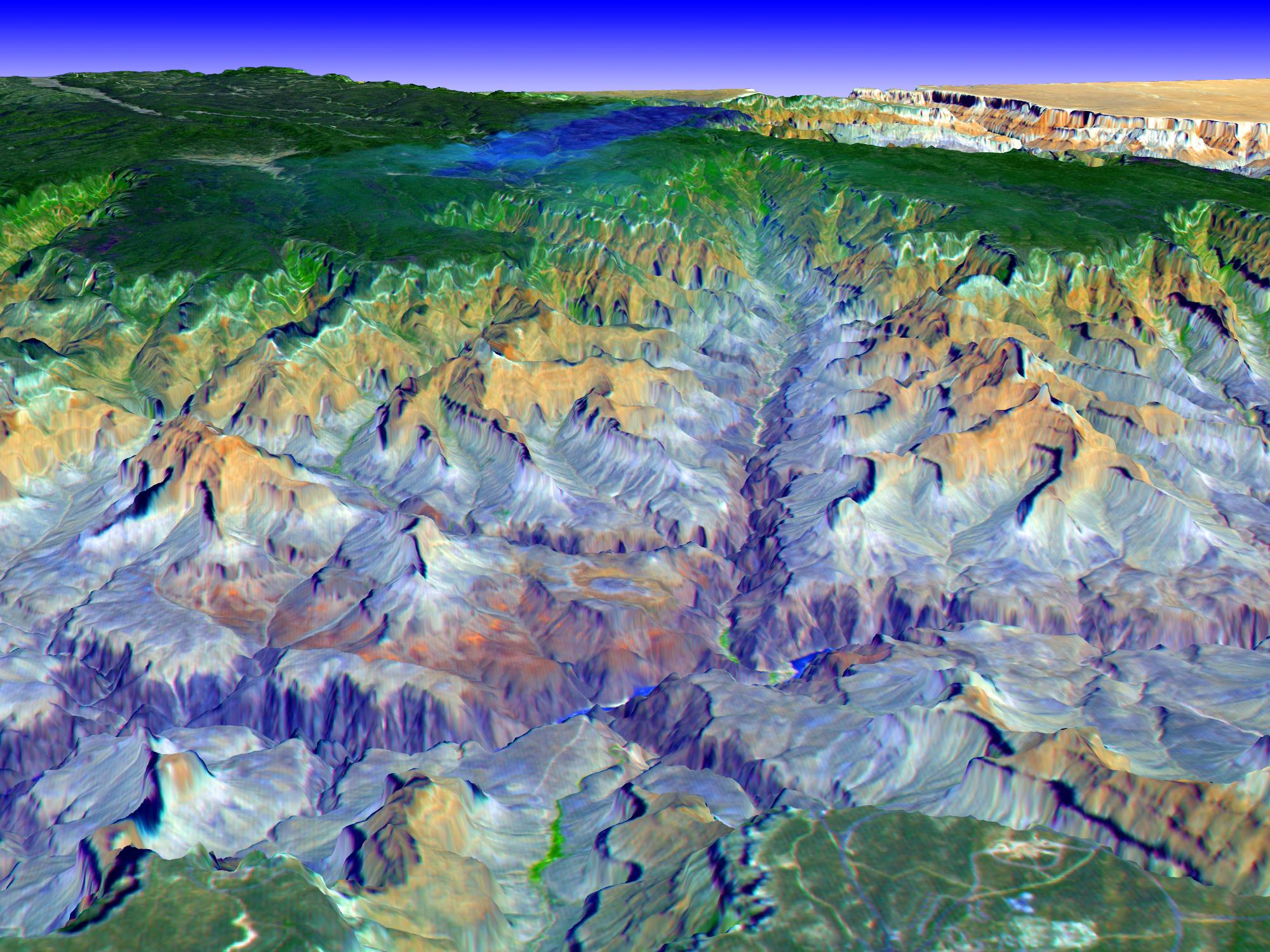
PIA01908:
-
Perspective view over the Grand Canyon, Arizona
Full Resolution:
TIFF
(9.012 MB)
JPEG
(477.4 kB)
|
|
|
2001-10-17 |
Earth
|
Terra
|
MISR
|
846x606x3 |

|
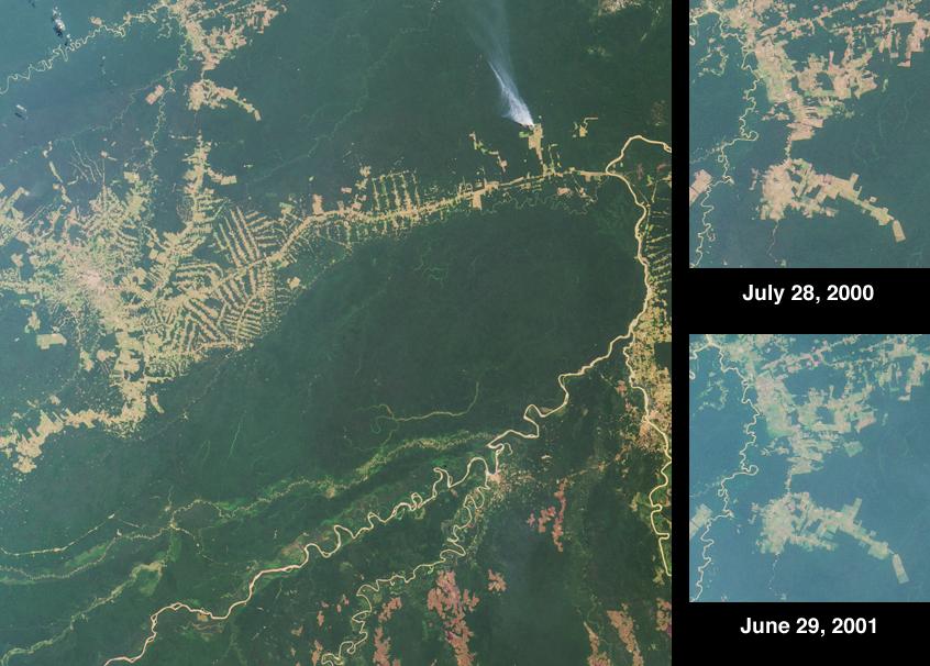
-
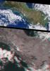
PIA03427:
-
Deforestation near Rio Branco, Brazil
Full Resolution:
TIFF
(1.479 MB)
JPEG
(85.05 kB)
|
|
|
2001-10-10 |
Earth
|
Terra
|
MISR
|
730x900x3 |
|
-
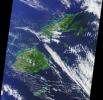
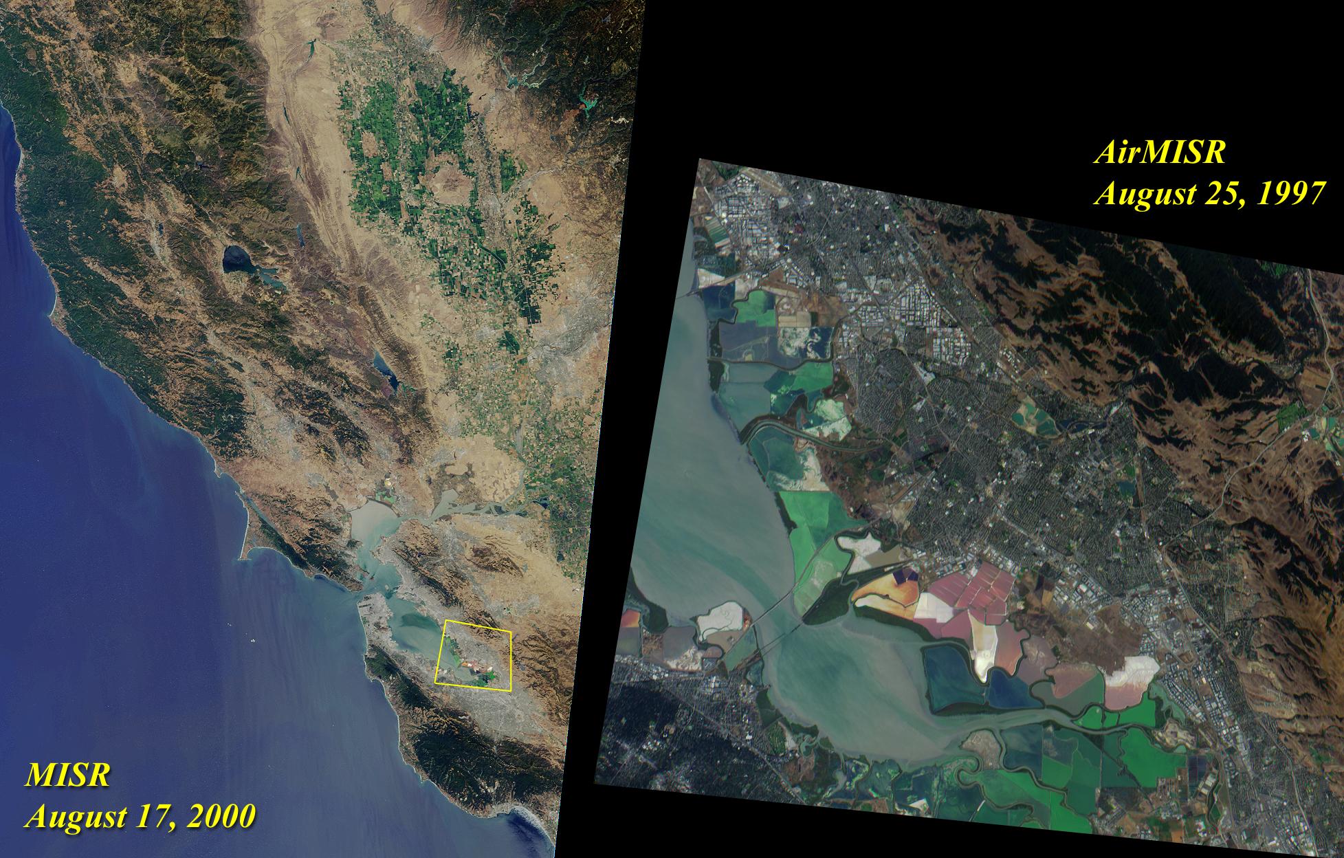
PIA03426:
-
The Land of Ice and Fire
Full Resolution:
TIFF
(2.148 MB)
JPEG
(141.7 kB)
|
|
|
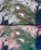
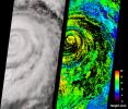
2001-10-04 |
Earth
|
Terra
|
MISR
|
1700x1456x3 |
|
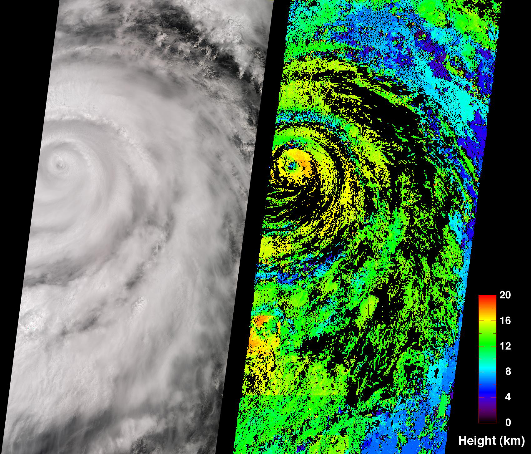
-
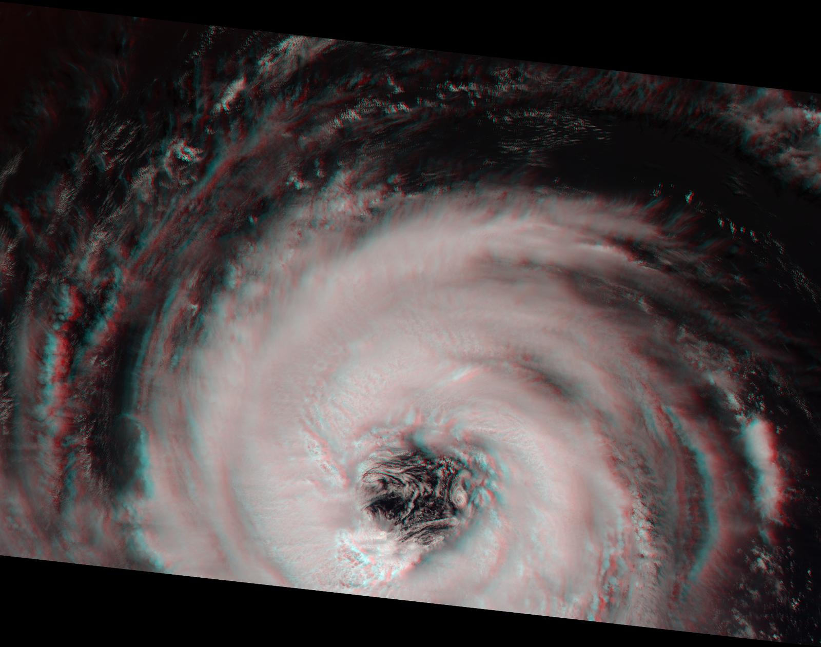
PIA03425:
-
Hurricane Juliette
Full Resolution:
TIFF
(3.694 MB)
JPEG
(651.3 kB)
|
|
|
2001-09-26 |
Earth
|
Terra
|
MISR
|
1290x1510x3 |
|
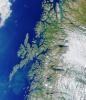
-
PIA03424:
-
Where on Earth...? MISR Mystery Image Quiz #3:
Lofoten Islands, Norway
Full Resolution:
TIFF
(6.46 MB)
JPEG
(392.5 kB)
|
|
|
2001-09-19 |
Earth
|
Terra
|
MISR
|
1737x981x3 |
|
-
PIA03423:
-
Deepest Canyons of the Andes
Full Resolution:
TIFF
(6.045 MB)
JPEG
(413.2 kB)
|
|
|
2001-09-13 |
Earth
|
Terra
|
MISR
|
1268x1908x3 |
|
-
PIA03422:
-
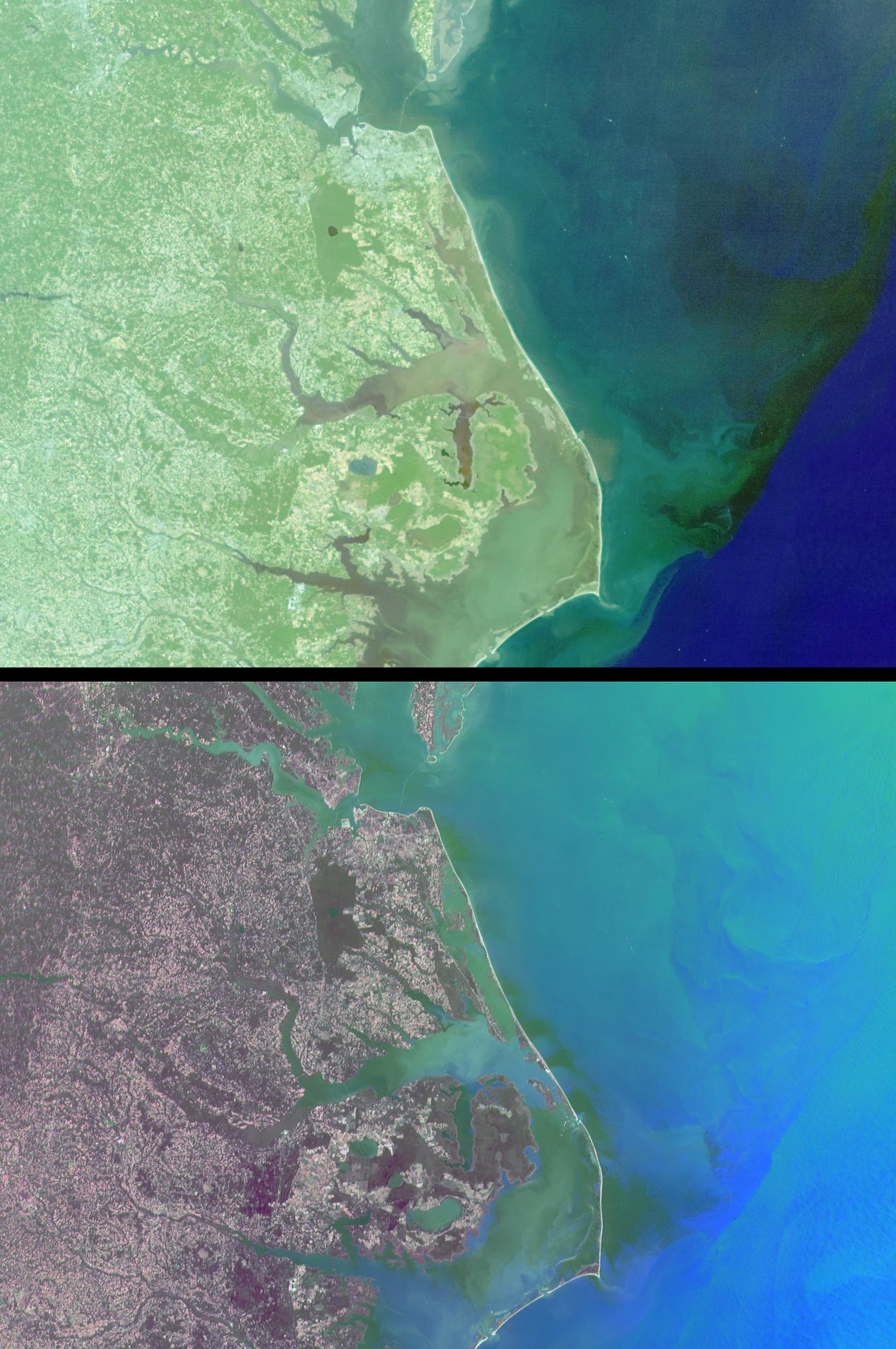
Mixing Waters and Moving Ships off the North Carolina Coast
Full Resolution:
TIFF
(7.865 MB)
JPEG
(341.6 kB)
|
|
|
2001-09-05 |
Earth
|
Terra
|
MISR
|
1223x1208x3 |
|
-
PIA03421:
-
A Panoramic View of the Emigrant Gap Fire, California
Full Resolution:
TIFF
(5.087 MB)
JPEG
(270.8 kB)
|
|
|
2001-08-29 |
Earth
|
Terra
|
MISR
|
983x1250x3 |
|
-
PIA03420:
-
Nile River Fluctuations Near Khartoum, Sudan
Full Resolution:
TIFF
(3.15 MB)
JPEG
(165.1 kB)
|
|
|
2001-08-27 |
Earth
|
Terra
|
ASTER
|
4376x4820x3 |
|
-
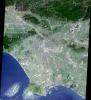
PIA02679:
-
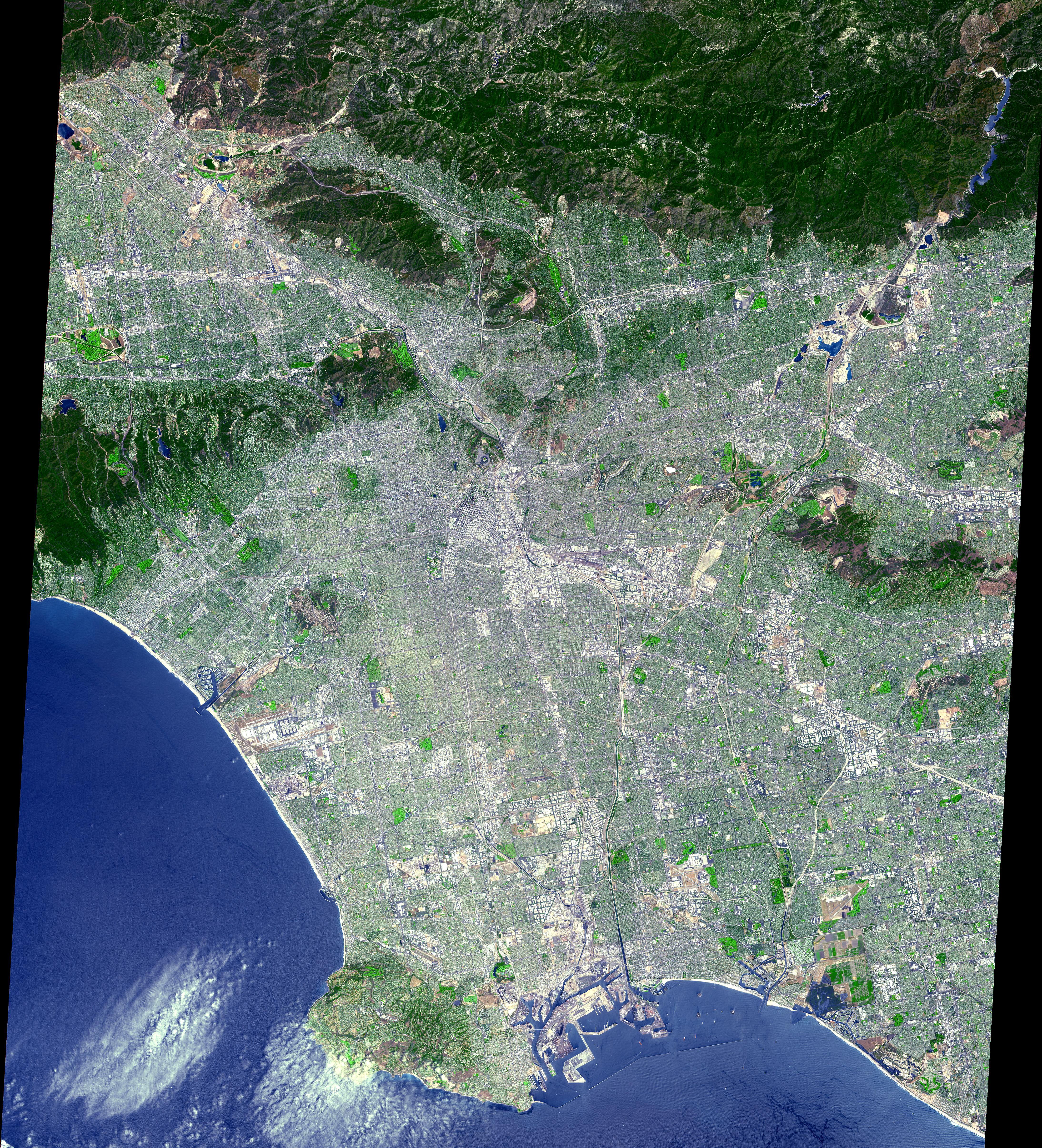
Los Angeles from Space
Full Resolution:
TIFF
(67.34 MB)
JPEG
(7.226 MB)
|
|
|
2001-08-22 |
Earth
|
Terra
|
MISR
|
1480x1952x3 |
|
-
PIA03419:
-
Summer in the Arctic National Wildlife Refuge
Full Resolution:
TIFF
(9.157 MB)
JPEG
(601.5 kB)
|
|
|
2001-08-15 |
Earth
|
Terra
|
MISR
|
1290x890x3 |
|
-
PIA03418:
-
A CLAMS-Eye View of Earth
Full Resolution:
TIFF
(3.185 MB)
JPEG
(183.3 kB)
|
|
|
2001-08-08 |
Earth
|
Terra
|
MISR
|
1292x1044x3 |
|
-
PIA03417:
-
Where on Earth...? MISR Mystery Image Quiz #2:
Lake Constance, Europe
Full Resolution:
TIFF
(4.453 MB)
JPEG
(405.9 kB)
|
|
|
2001-08-03 |
Earth
|
Terra
|
ASTER
|
576x720x3 |
|
-
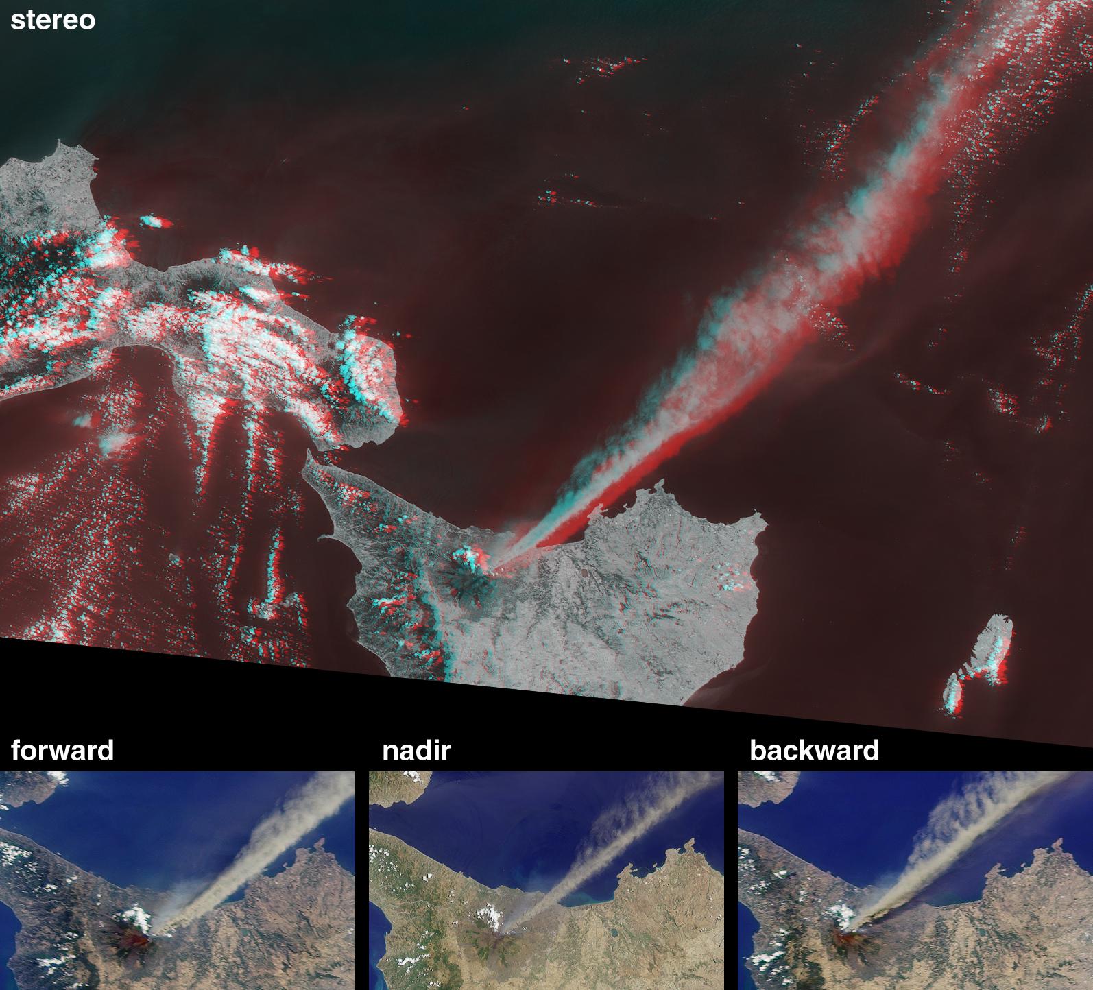
PIA02678:
-
Sulfur Dioxide Plume During the Continuing Eruption of Mt. Etna, Italy
Full Resolution:
TIFF
(1.463 MB)
JPEG
(140 kB)
|
|
|
2001-08-03 |
Earth
|
Terra
|
ASTER
|
1600x2000x3 |
|
-
PIA02677:
-
Lava Flows During the Continuing Eruption of Mt. Etna, Italy
Full Resolution:
TIFF
(10.01 MB)
JPEG
(465.8 kB)
|
|
|
2001-08-01 |
Earth
|
Terra
|
MISR
|
1736x1328x3 |
|
-
PIA03416:
-
Smoke over Jackson Hole, Wyoming
Full Resolution:
TIFF
(7.261 MB)
JPEG
(467.3 kB)
|
|
|
2001-08-01 |
Earth
|
Terra
|
ASTER
|
2000x2400x3 |
|
-
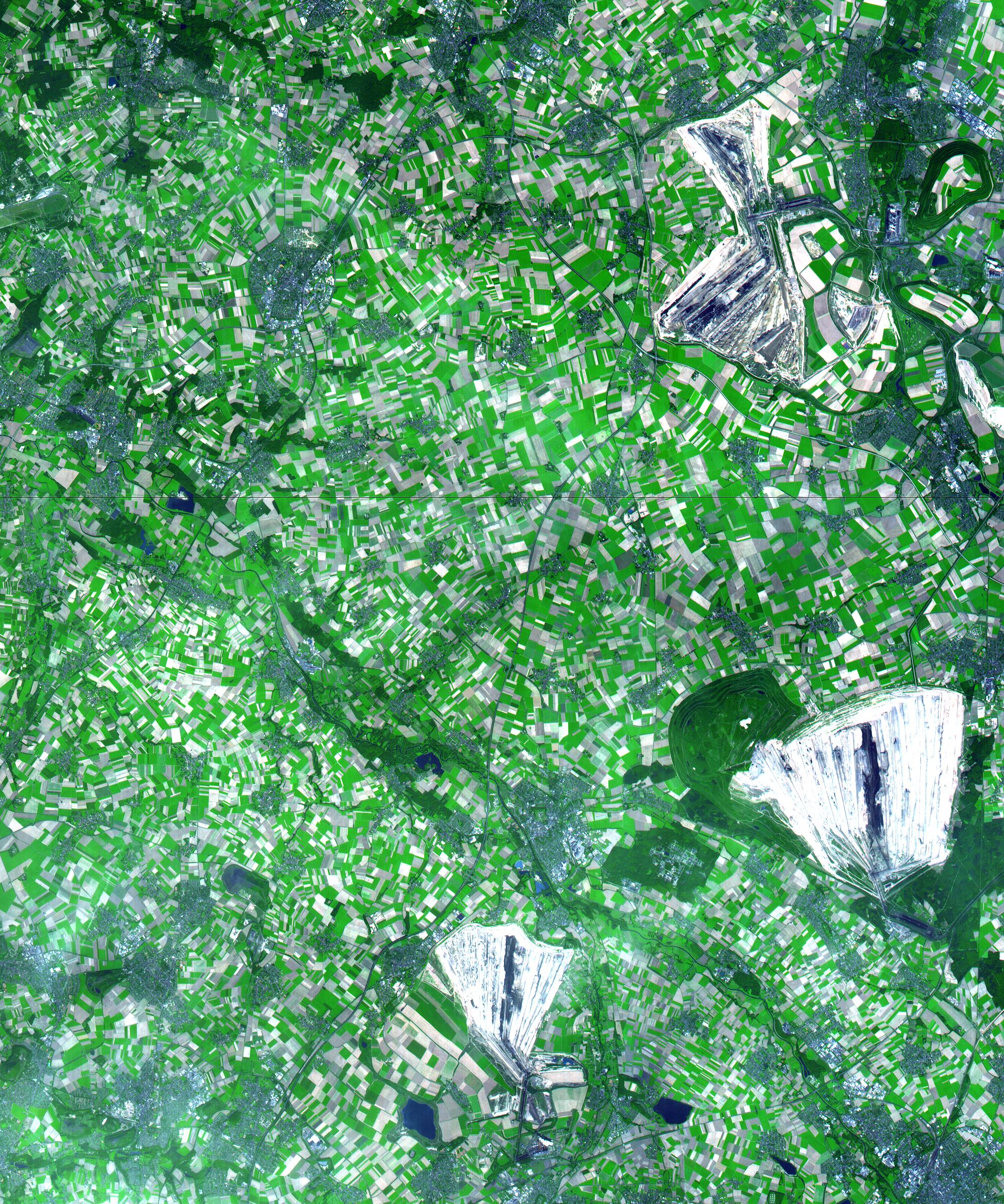
PIA02676:
-
Coal Mining, Germany
Full Resolution:
TIFF
(18.15 MB)
JPEG
(1.438 MB)
|
|
|
2001-07-26 |
Earth
|
Terra
|
ASTER
|
2000x2011x3 |
|
-
PIA02675:
-
Anchorage, AK
Full Resolution:
TIFF
(13.23 MB)
JPEG
(775.5 kB)
|
|
|
2001-07-25 |
Earth
|
Terra
|
MISR
|
1594x1444x3 |
|
-
PIA03415:
-
Eruption of Mt. Etna
Full Resolution:
TIFF
(5.094 MB)
JPEG
(282.1 kB)
|
|
|
2001-07-21 |
Earth
|
Terra
|
ASTER
|
516x946x3 |
|
-
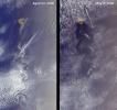
PIA02674:
-
Eruption of Shiveluch Volcano, Kamchatka, Russia
Full Resolution:
TIFF
(375.8 kB)
JPEG
(98.03 kB)
|
|
|
2001-07-21 |
Earth
|
Terra
|
ASTER
|
1191x1230x3 |
|
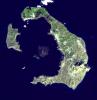
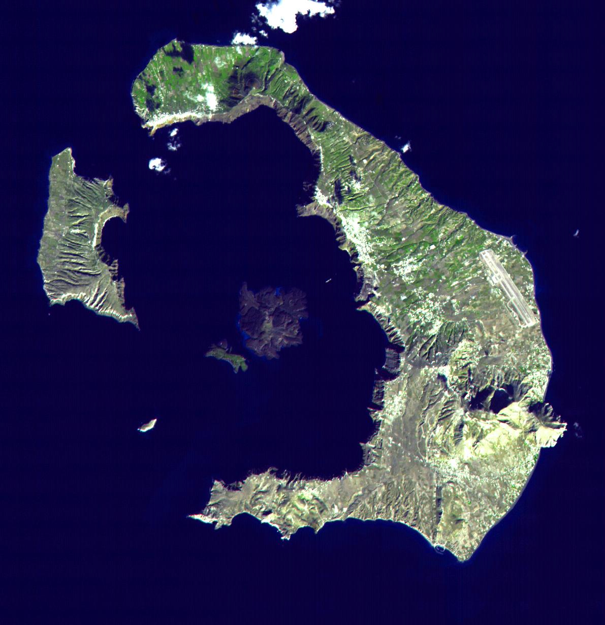
-
PIA02673:
-
Santorini, Greece
Full Resolution:
TIFF
(2.163 MB)
JPEG
(154 kB)
|
|
|
2001-07-21 |
Earth
|
Terra
|
ASTER
|
4200x3600x3 |
|
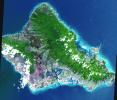
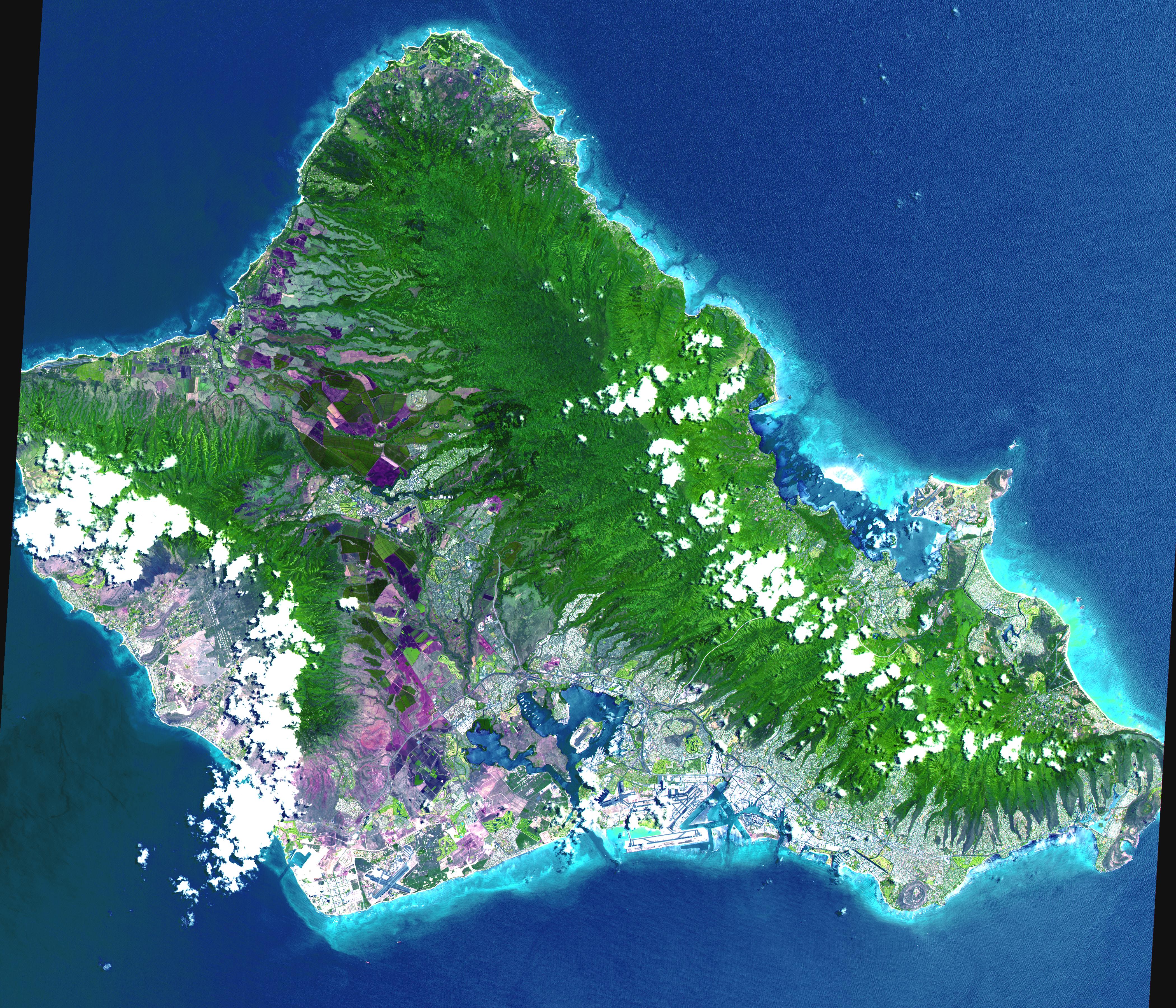
-
PIA02672:
-
Oahu, Hawaii
Full Resolution:
TIFF
(44.7 MB)
JPEG
(3.314 MB)
|
|
|
2001-07-21 |
Earth
|
Terra
|
ASTER
|
4048x3824x3 |
|
-
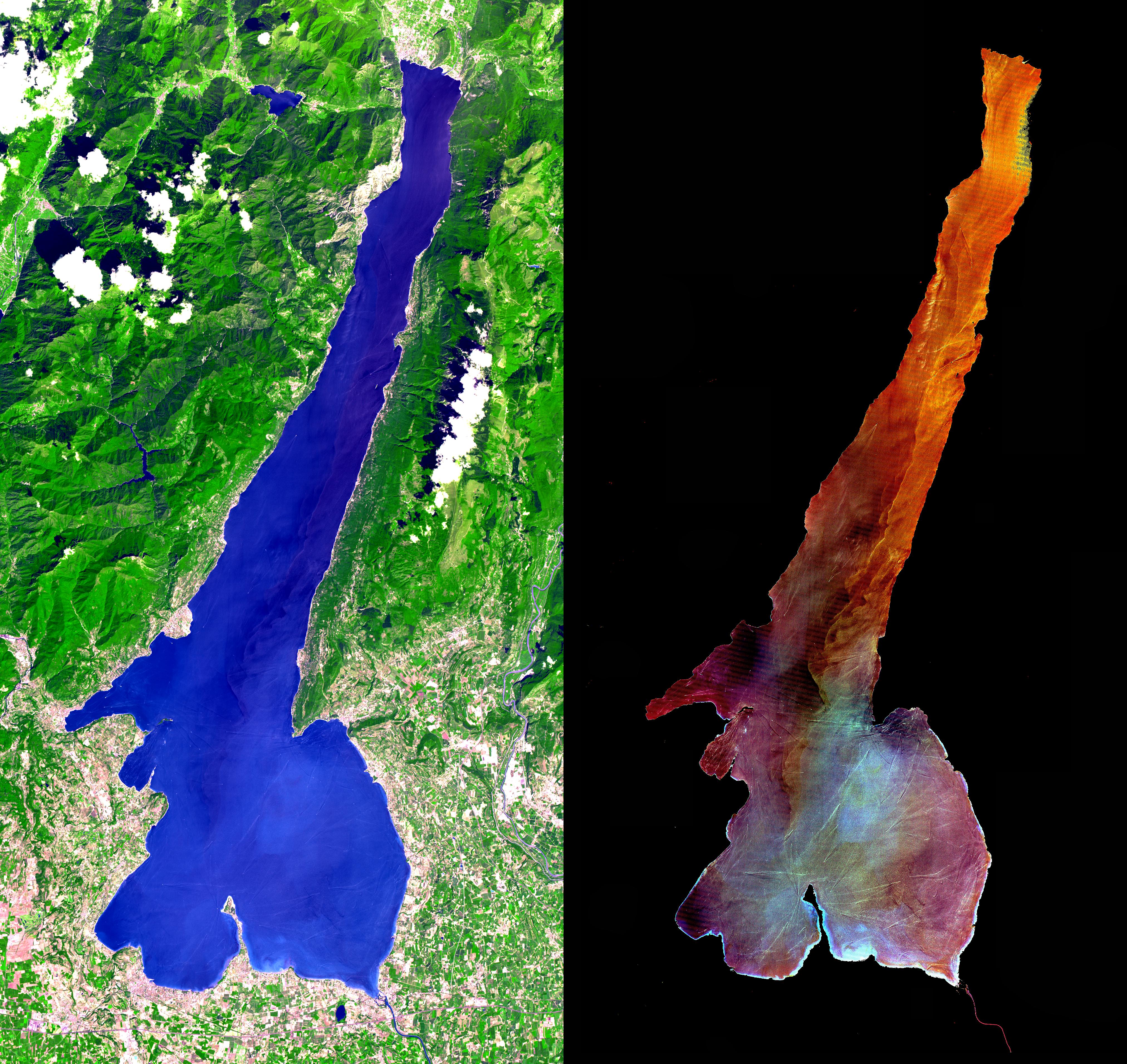
PIA02671:
-
Lake Garda, Italy
Full Resolution:
TIFF
(28.47 MB)
JPEG
(2.608 MB)
|
|
|
2001-07-21 |
Earth
|
Terra
|
ASTER
|
2412x1925x3 |
|
-
PIA02670:
-
Patagonia Glacier, Chile
Full Resolution:
TIFF
(11.47 MB)
JPEG
(883.8 kB)
|
|
|
2001-07-21 |
Earth
|
Terra
|
ASTER
|
800x800x3 |
|
-
PIA02669:
-
Great Wall of China
Full Resolution:
TIFF
(2.432 MB)
JPEG
(228 kB)
|
|
|
2001-07-21 |
Earth
|
Terra
|
ASTER
|
2000x1500x3 |

|
-
PIA02668:
-
3-D View of Grand Canyon, Arizona
Full Resolution:
TIFF
(10.35 MB)
JPEG
(477.4 kB)
|
|
|
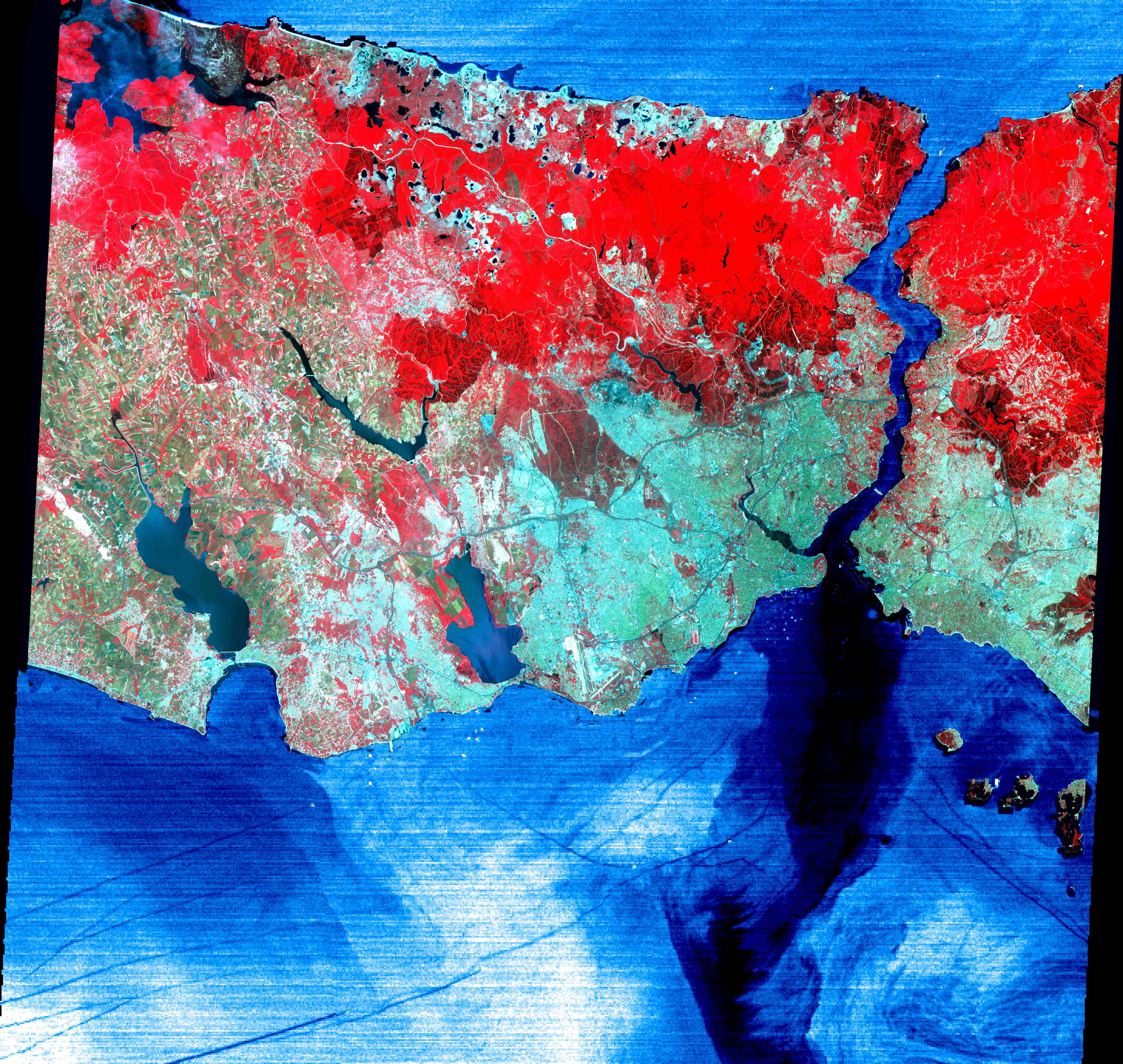
2001-07-21 |
Earth
|
Terra
|
ASTER
|
4368x4140x3 |
|
-
PIA02665:
-
Istanbul, Turkey
Full Resolution:
TIFF
(32.35 MB)
JPEG
(3.96 MB)
|
|
|
2001-07-21 |
Earth
|
Terra
|
ASTER
|
1282x1603x3 |
|
-
PIA02664:
-
College Fjord, Prince Williams Sound
Full Resolution:
TIFF
(4.17 MB)
JPEG
(395.8 kB)
|
|
|
2001-07-21 |
Earth
|
Terra
|
ASTER
|
1228x709x3 |
|
-
PIA02663:
-
3-D View of Death Valley, California
Full Resolution:
TIFF
(1.19 MB)
JPEG
(112 kB)
|
|
|
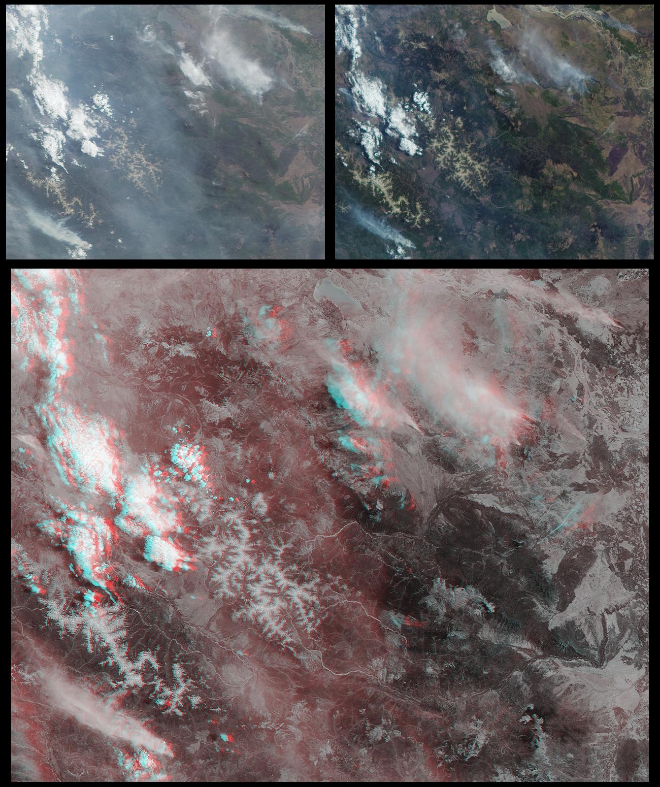
2001-07-18 |
Earth
|
Terra
|
MISR
|
1712x1204x3 |
|
-
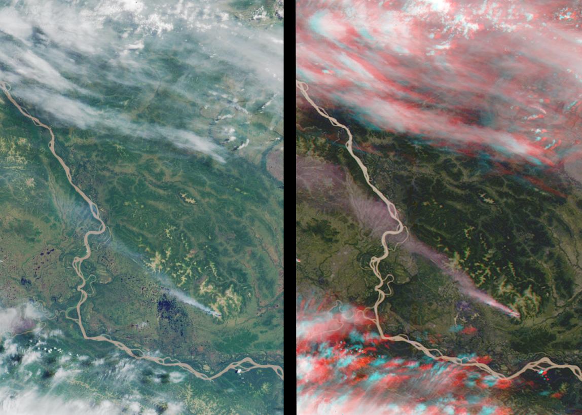
PIA03414:
-
Fire in the Land of 100,000 Lakes
Full Resolution:
TIFF
(3.75 MB)
JPEG
(478.8 kB)
|
|
|
2001-07-11 |
Earth
|
Terra
|
MISR
|
1434x1232x3 |
|
-
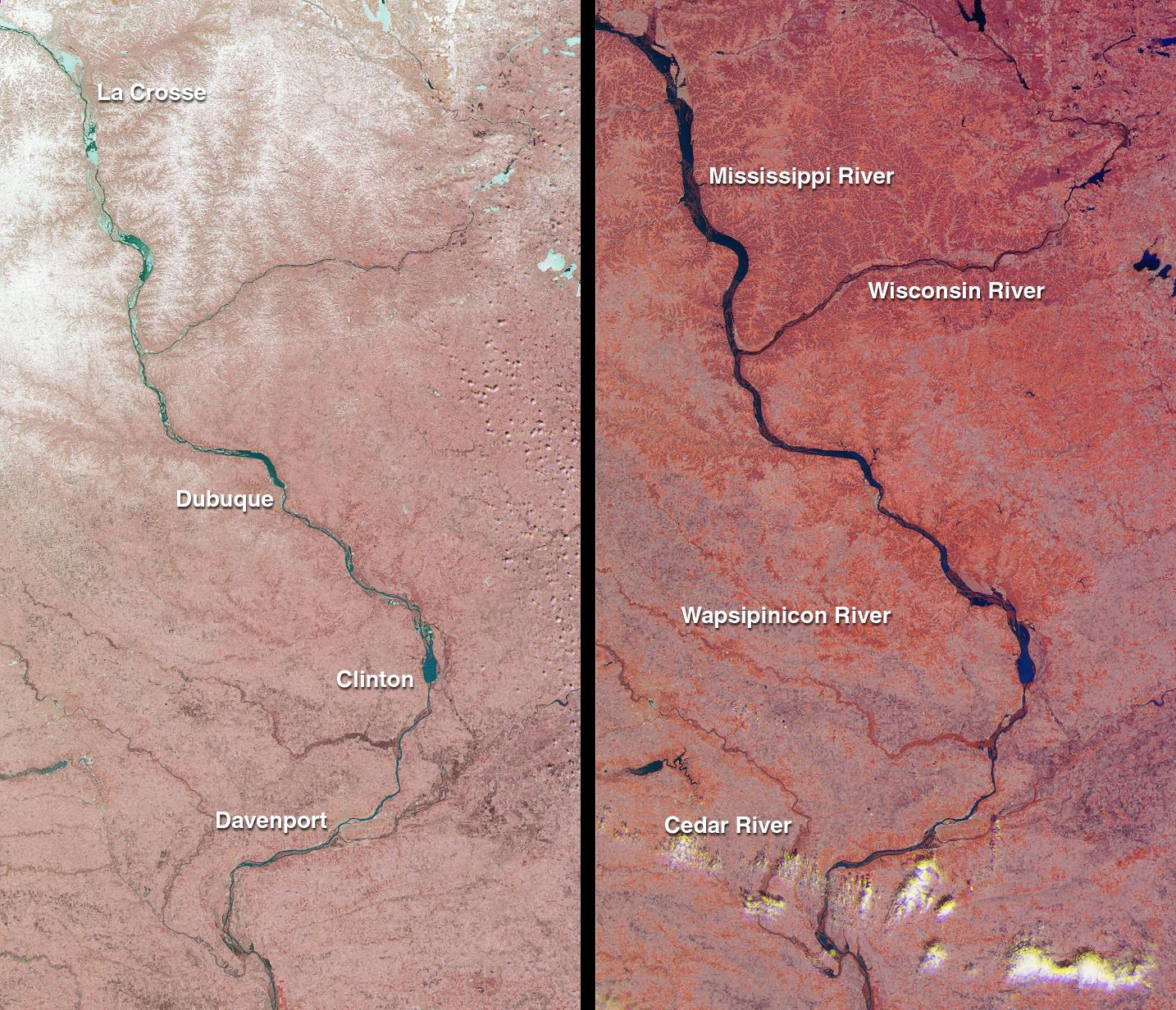
PIA03413:
-
Spring Flooding on the Mississippi
Full Resolution:
TIFF
(5.775 MB)
JPEG
(428.5 kB)
|
|
|
2001-07-02 |
Earth
|
Terra
|
MISR
|
1215x1191x3 |
|
-
PIA03412:
-
A Spaceborne Perspective on the Red, White, and Blue
Full Resolution:
TIFF
(5.067 MB)
JPEG
(488.9 kB)
|
|
|
2001-06-27 |
Earth
|
Terra
|
MISR
|
1595x1553x3 |
|
-
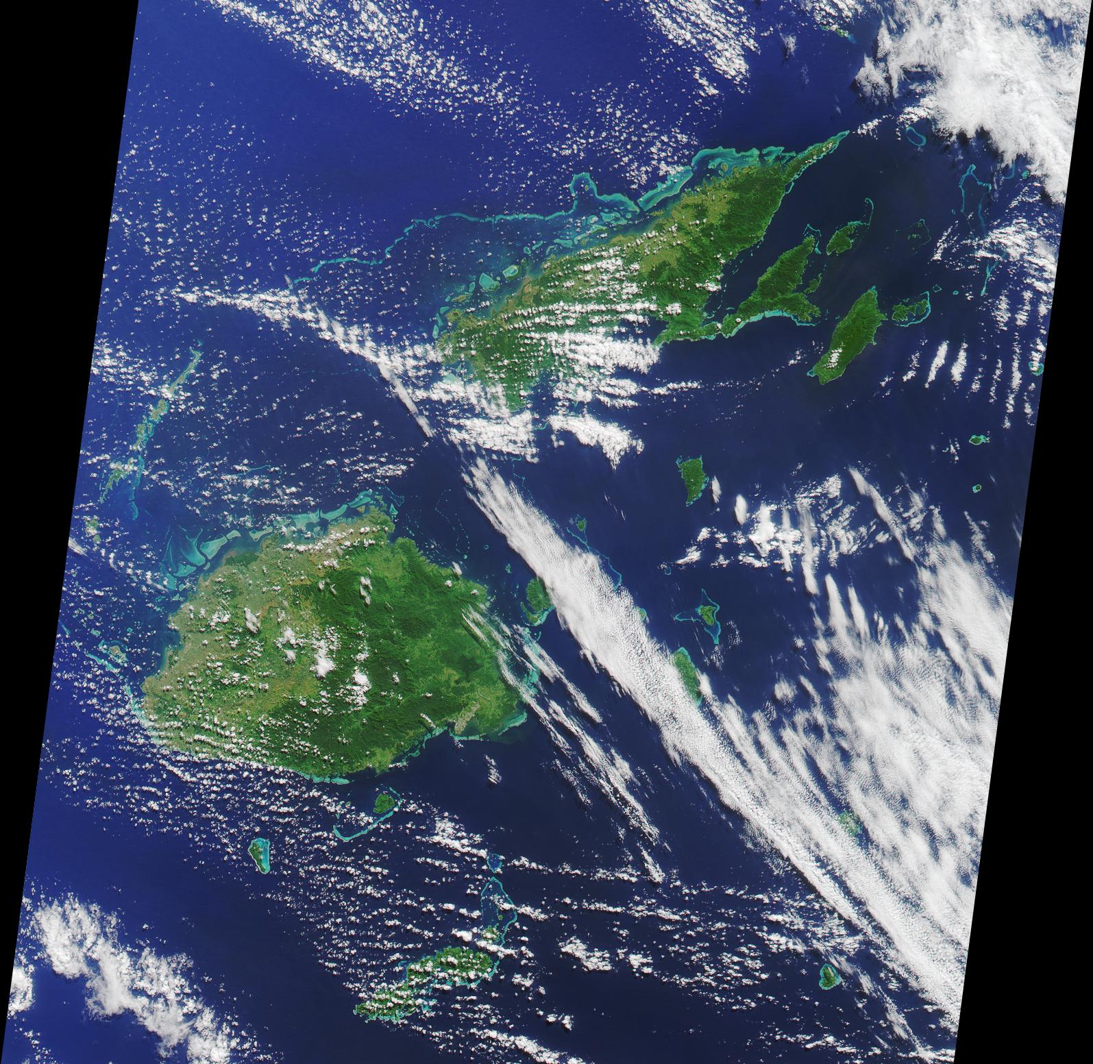
PIA03411:
-
Where on Earth...? MISR Mystery Image Quiz #1:
Republic of Fiji
Full Resolution:
TIFF
(6.351 MB)
JPEG
(509.5 kB)
|
|
|
2001-06-20 |
Earth
|
Terra
|
MISR
|
1356x1932x3 |
|
-
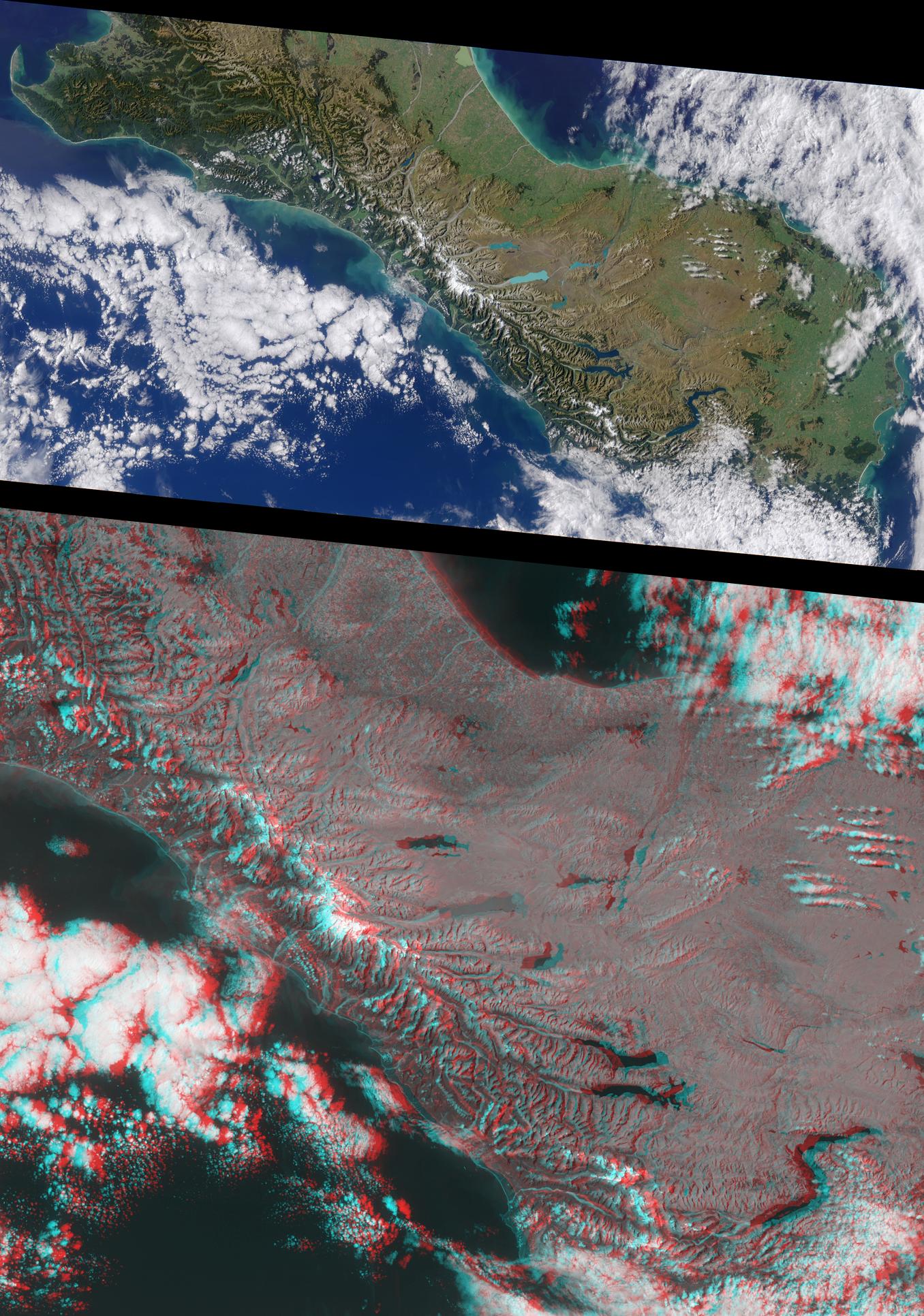
PIA03410:
-
New Zealand's Southern Alps
Full Resolution:
TIFF
(7.269 MB)
JPEG
(518.5 kB)
|
|
|
2001-06-13 |
Earth
|
Terra
|
MISR
|
923x798x3 |
|
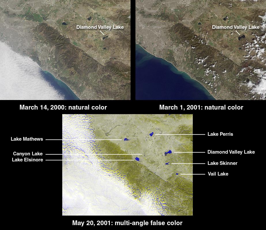
-
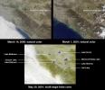
PIA03409:
-
Watching the Creation of Southern California's Largest Reservoir
Full Resolution:
TIFF
(1.424 MB)
JPEG
(145.7 kB)
|
|
|
2001-05-30 |
Earth
|
Terra
|
MISR
|
1870x1280x3 |
|
-
PIA03408:
-
Saskatchewan and Manitoba
Full Resolution:
TIFF
(7.706 MB)
JPEG
(553.8 kB)
|
|
|
2001-05-23 |
Earth
|
Terra
|
MISR
|
1300x1550x3 |
|
-
PIA03407:
-
Smoke and Clouds over Russia
Full Resolution:
TIFF
(5.313 MB)
JPEG
(386.1 kB)
|
|
|
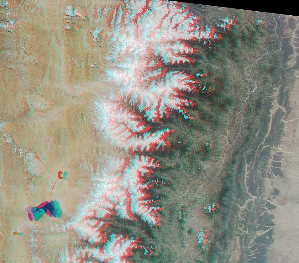
2001-05-16 |
Earth
|
Terra
|
MISR
|
1536x1579x3 |
|
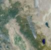
-
PIA03406:
-
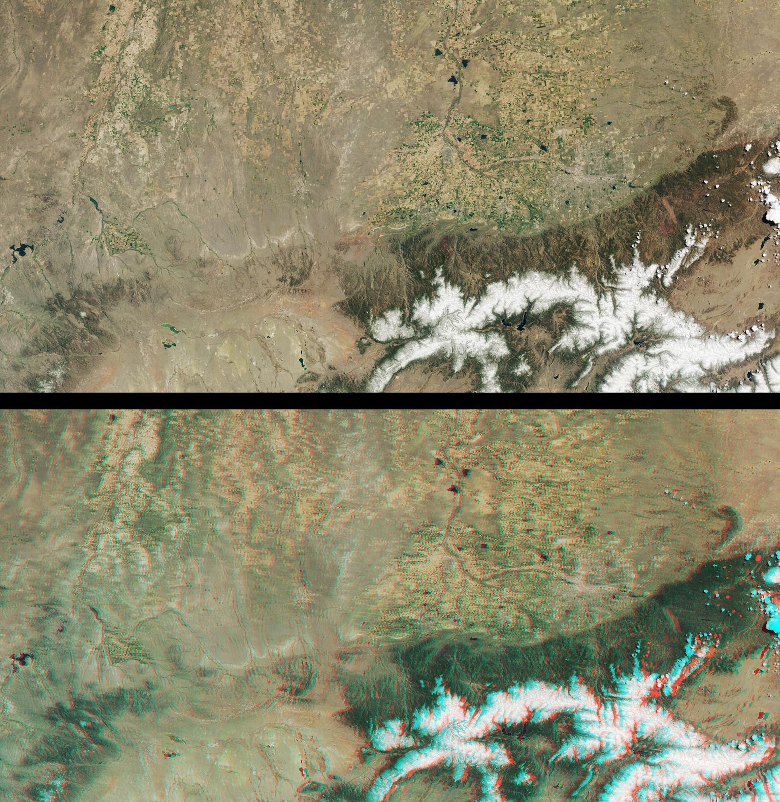
Front Range of the Rockies
Full Resolution:
TIFF
(8.452 MB)
JPEG
(541 kB)
|
|
|
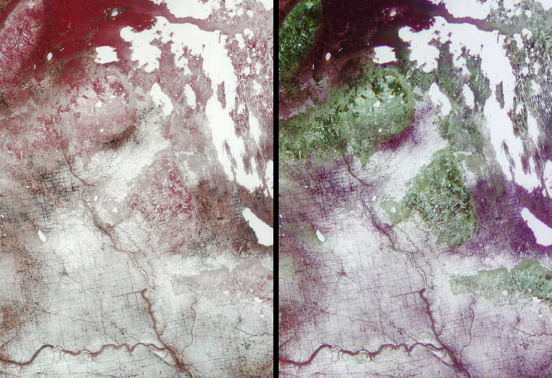
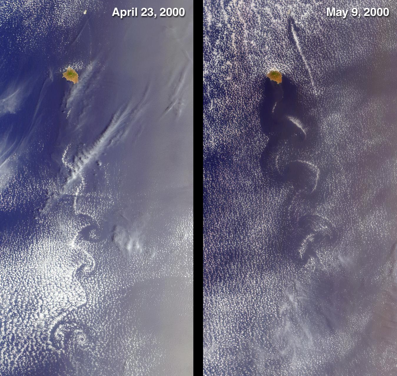
2001-05-09 |
Earth
|
Terra
|
MISR
|
1845x1701x3 |
|
-
PIA03405:
-
Fingerprints in the Dust
Full Resolution:
TIFF
(7.682 MB)
JPEG
(378.8 kB)
|
|
|
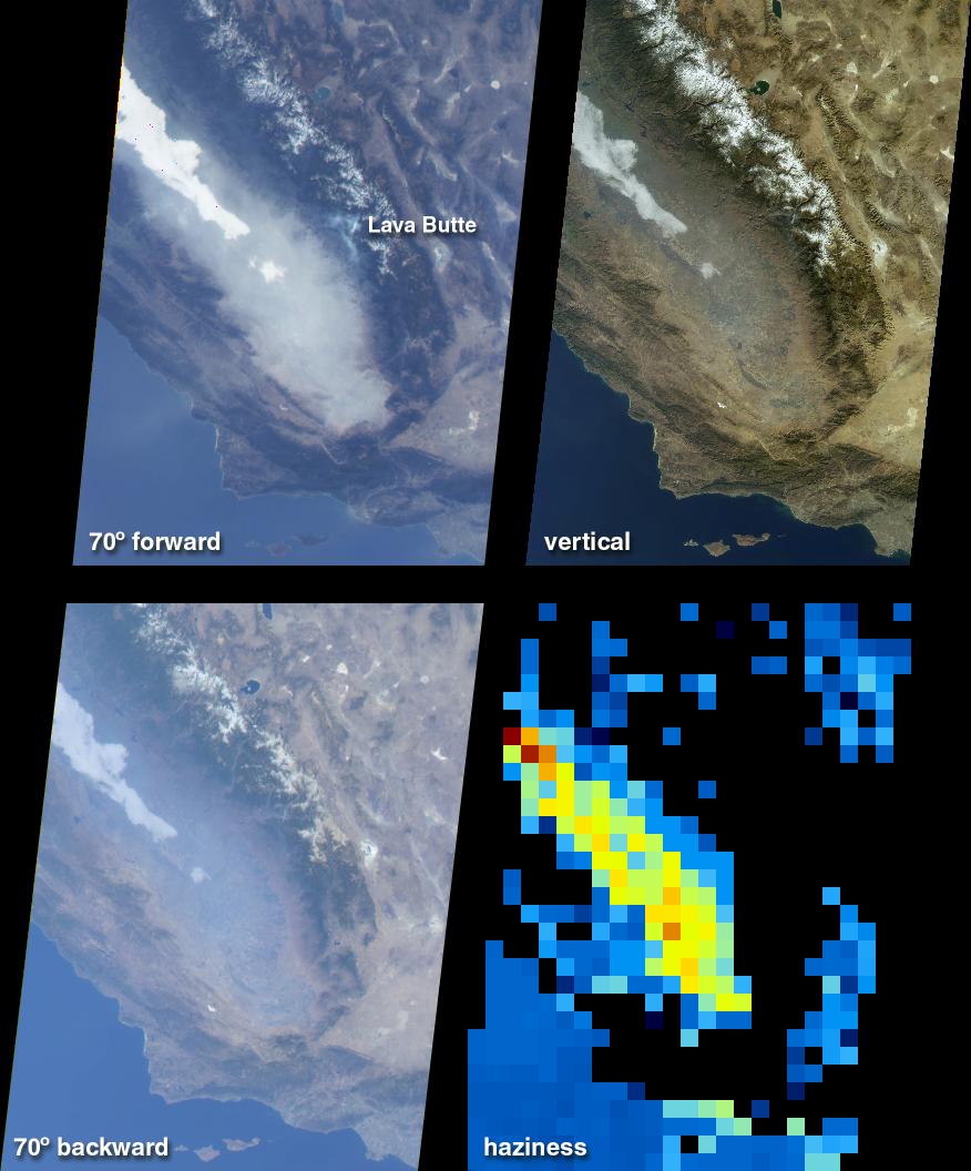
2001-05-02 |
Earth
|
Terra
|
MISR
|
1750x1502x3 |
|
-
PIA03404:
-
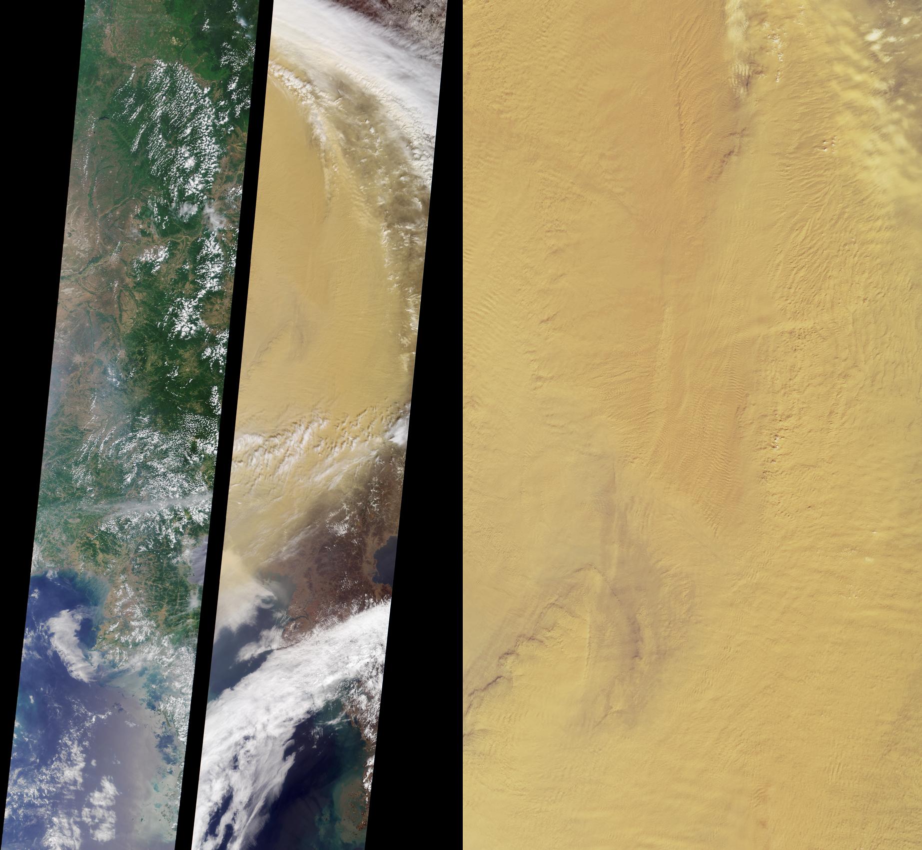
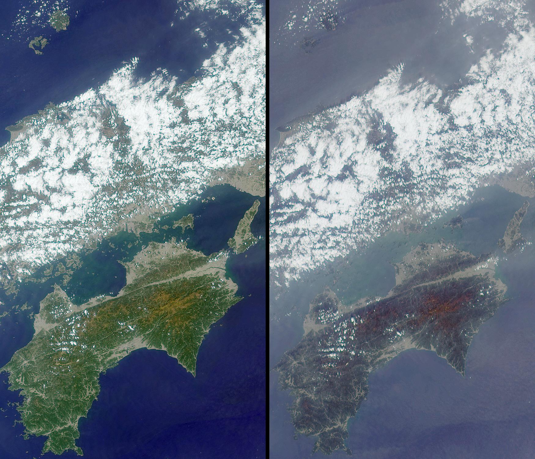
MISR Participates in Aerosol Characterization Experiment over Asia
Full Resolution:
TIFF
(8.585 MB)
JPEG
(525.5 kB)
|
|
|
2001-04-25 |
Earth
|
Terra
|
MISR
|
2023x1621x3 |
|
-
PIA03403:
-
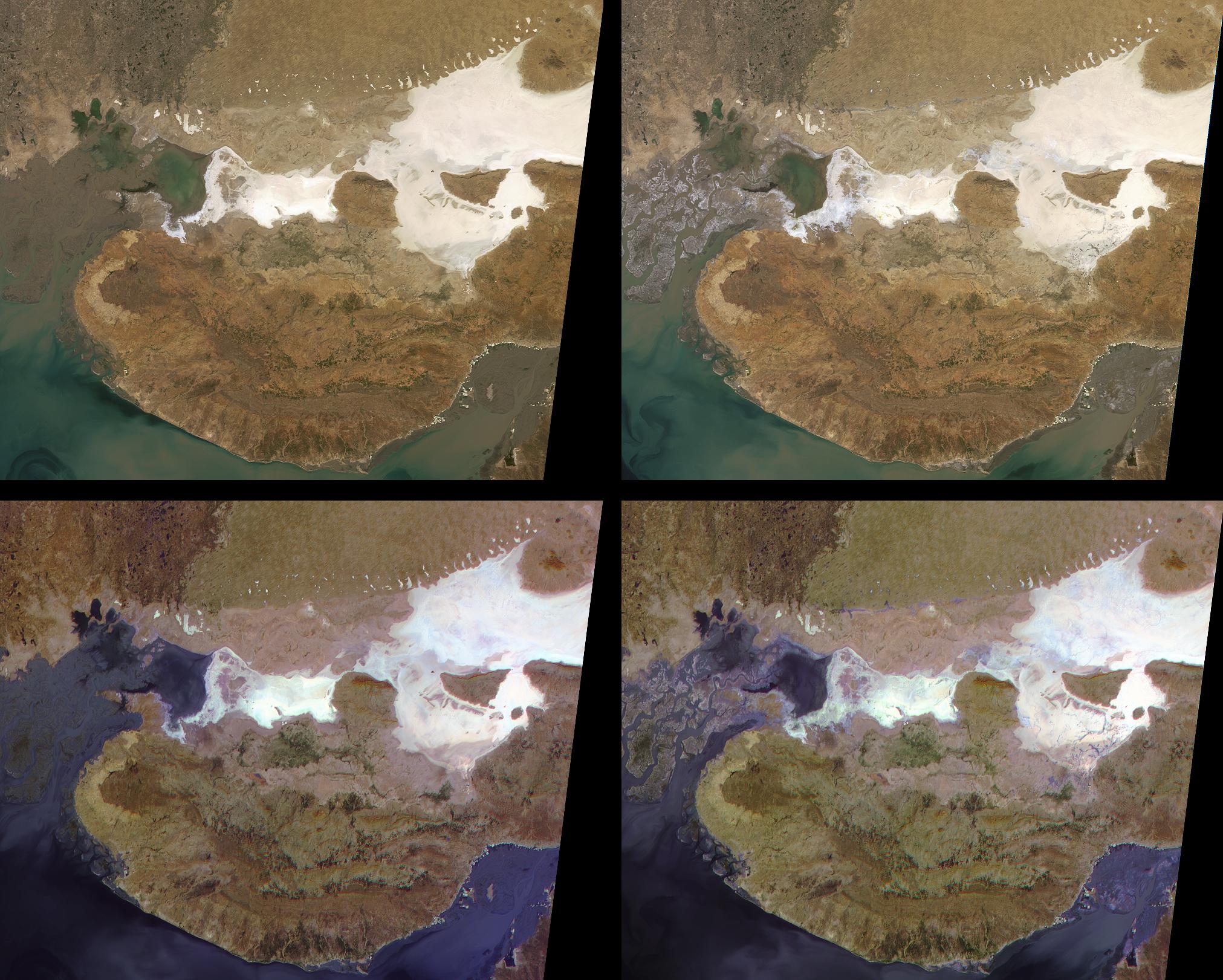
Liquefaction Effects from the Bhuj earthquake
Full Resolution:
TIFF
(10.05 MB)
JPEG
(512.5 kB)
|
|
|
2001-04-18 |
Earth
|
Terra
|
MISR
|
1925x1219x3 |
|
-
PIA03402:
-
The Grand Canyon
Full Resolution:
TIFF
(7.32 MB)
JPEG
(566.7 kB)
|
|
|
2001-04-11 |
Earth
|
Terra
|
MISR
|
1629x1816x3 |
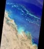
|
-
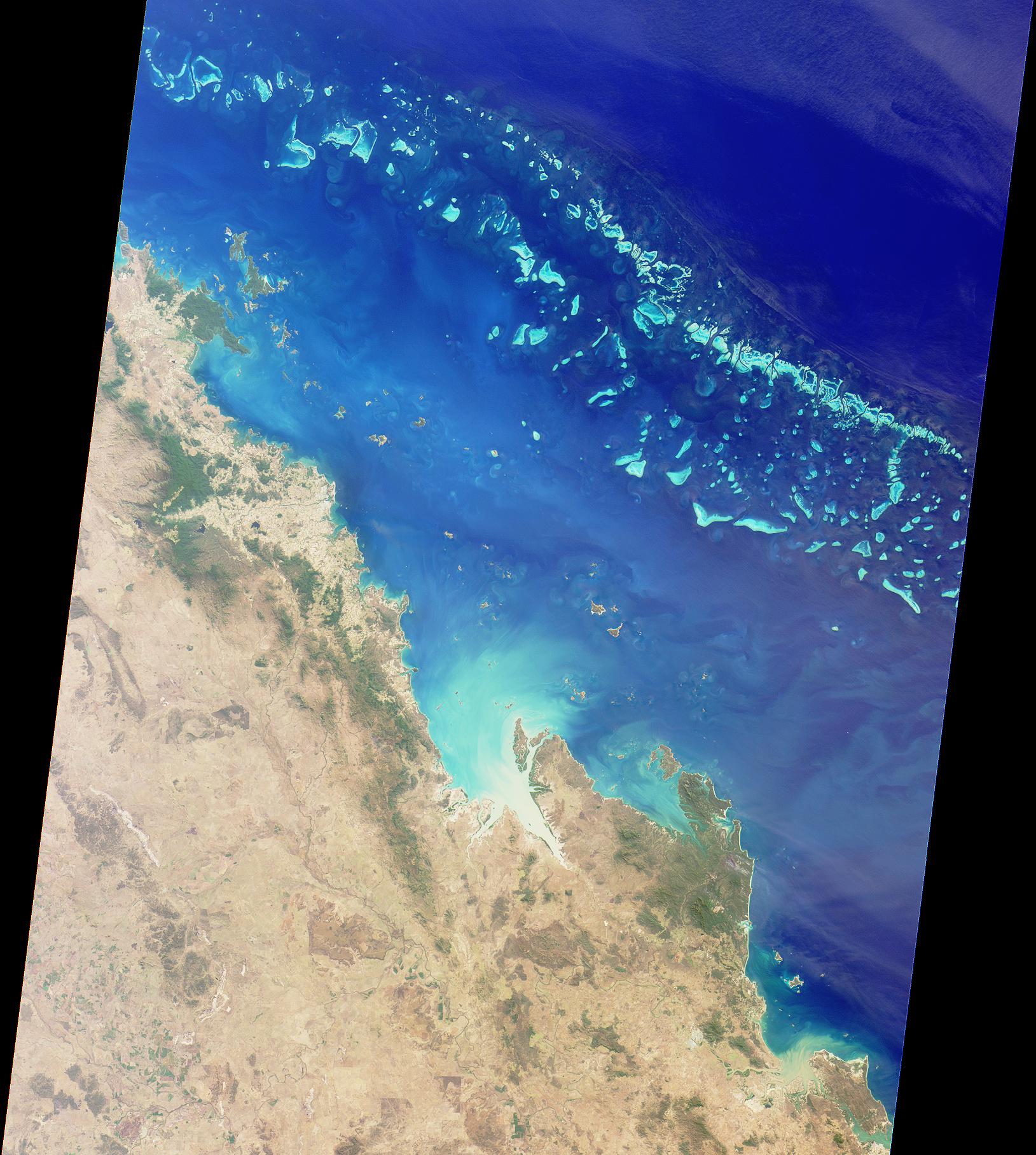
PIA03401:
-
Australia's Great Barrier Reef
Full Resolution:
TIFF
(7.601 MB)
JPEG
(414 kB)
|
|
|
2001-04-04 |
Earth
|
Terra
|
MISR
|
990x1792x3 |
|
-
PIA03400:
-
Tropical Storms Bud and Dera
Full Resolution:
TIFF
(3.685 MB)
JPEG
(304 kB)
|
|
|
2001-03-28 |
Earth
|
Terra
|
MISR
|
2000x1315x3 |
|
-
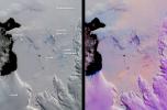
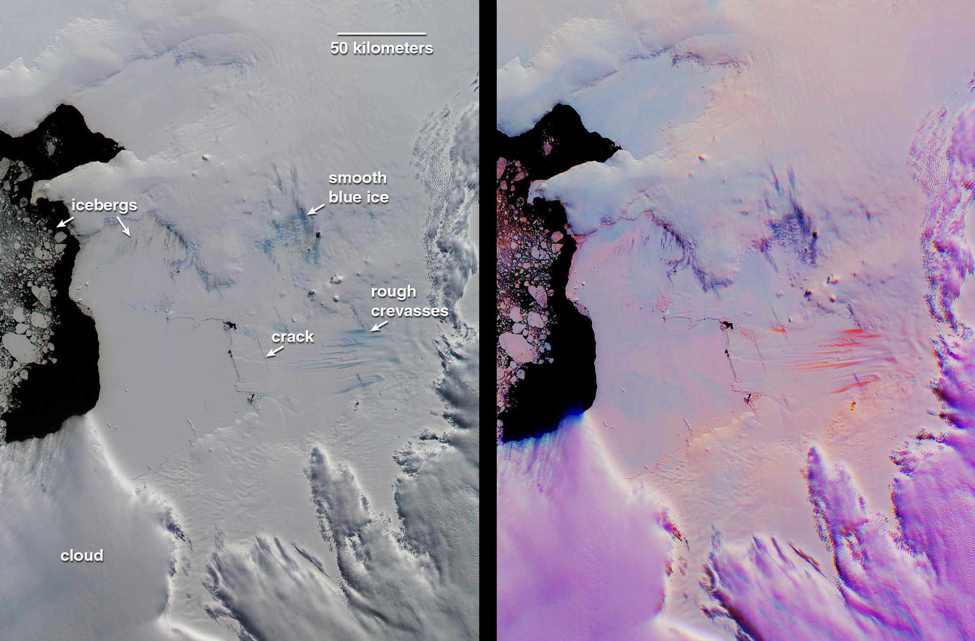
PIA02650:
-
Pine Island Glacier, Antarctica
Full Resolution:
TIFF
(6.189 MB)
JPEG
(308.3 kB)
|
|
|
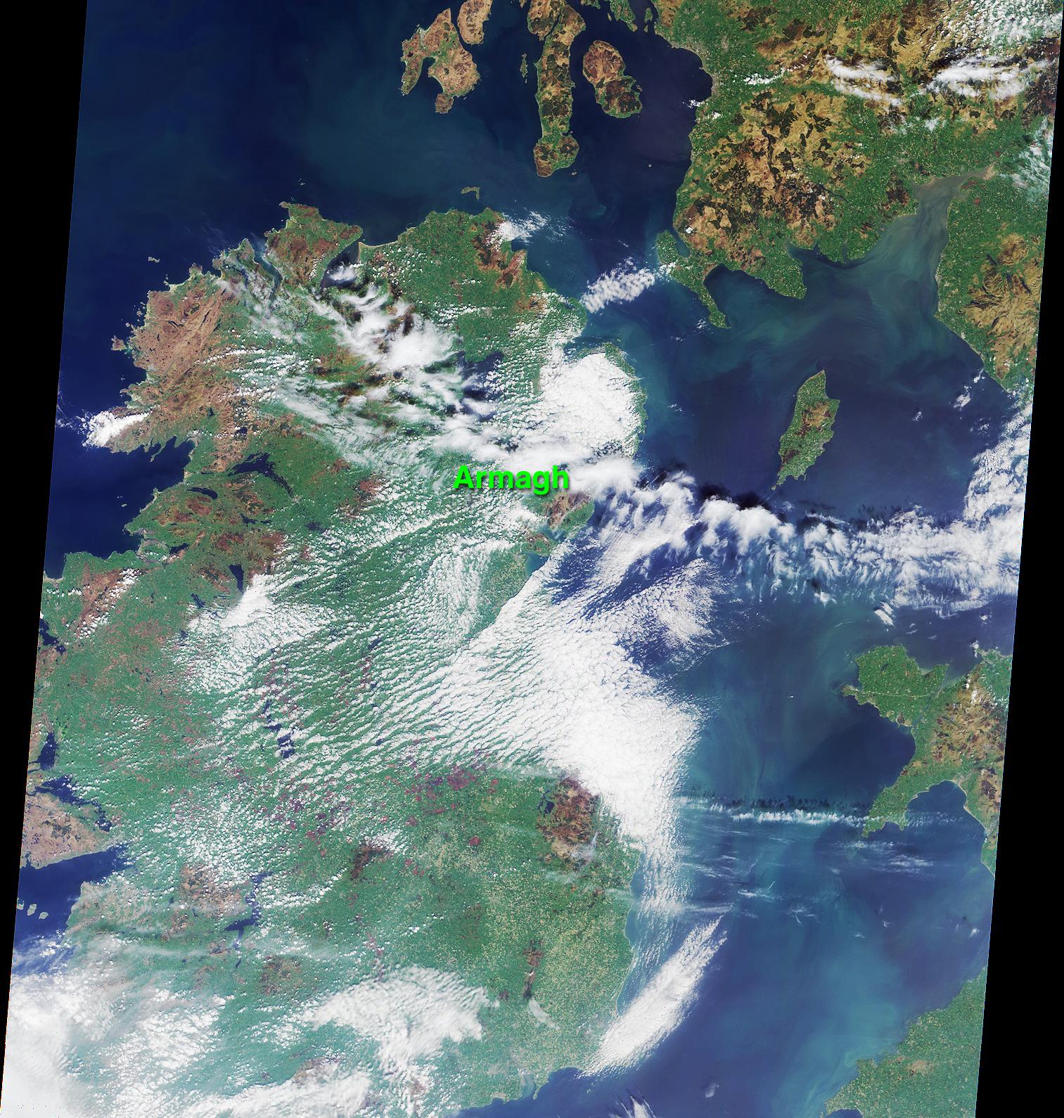
2001-03-21 |
Earth
|
Terra
|
MISR
|
1513x1590x3 |
|
-
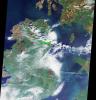
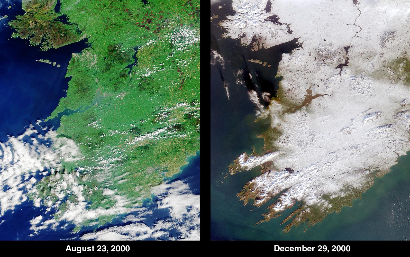
PIA02649:
-
An Irish Tale: One City, Two Asteroids
Full Resolution:
TIFF
(7.175 MB)
JPEG
(541.2 kB)
|
|
|
2001-03-14 |
Earth
|
Terra
|
MISR
|
1349x1277x3 |
|
-
PIA02648:
-
Swirls of Lace
Full Resolution:
TIFF
(5.691 MB)
JPEG
(379.8 kB)
|
|
|
2001-03-07 |
Earth
|
Terra
|
MISR
|
1604x1745x3 |
|
-
PIA02647:
-
The Nile
Full Resolution:
TIFF
(7.185 MB)
JPEG
(409.7 kB)
|
|
|
2001-02-28 |
Earth
|
Terra
|
MISR
|
954x839x3 |
|
-
PIA02646:
-
Roof of the World and the Abode of Snow
Full Resolution:
TIFF
(2.774 MB)
JPEG
(169.3 kB)
|
|
|
2001-02-21 |
Earth
|
Terra
|
MISR
|
1500x867x3 |
|
-
PIA02645:
-
Green Summer and Icy Winter in James Bay
Full Resolution:
TIFF
(4.594 MB)
JPEG
(315.5 kB)
|
|
|
2001-02-14 |
Earth
|
Terra
|
MISR
|
876x1056x3 |
|
-
PIA02644:
-
Fog and Haze in California's San Joaquin Valley
Full Resolution:
TIFF
(1.68 MB)
JPEG
(107.4 kB)
|
|
|
2001-02-07 |
Earth
|
Terra
|
MISR
|
1639x1810x3 |
|
-
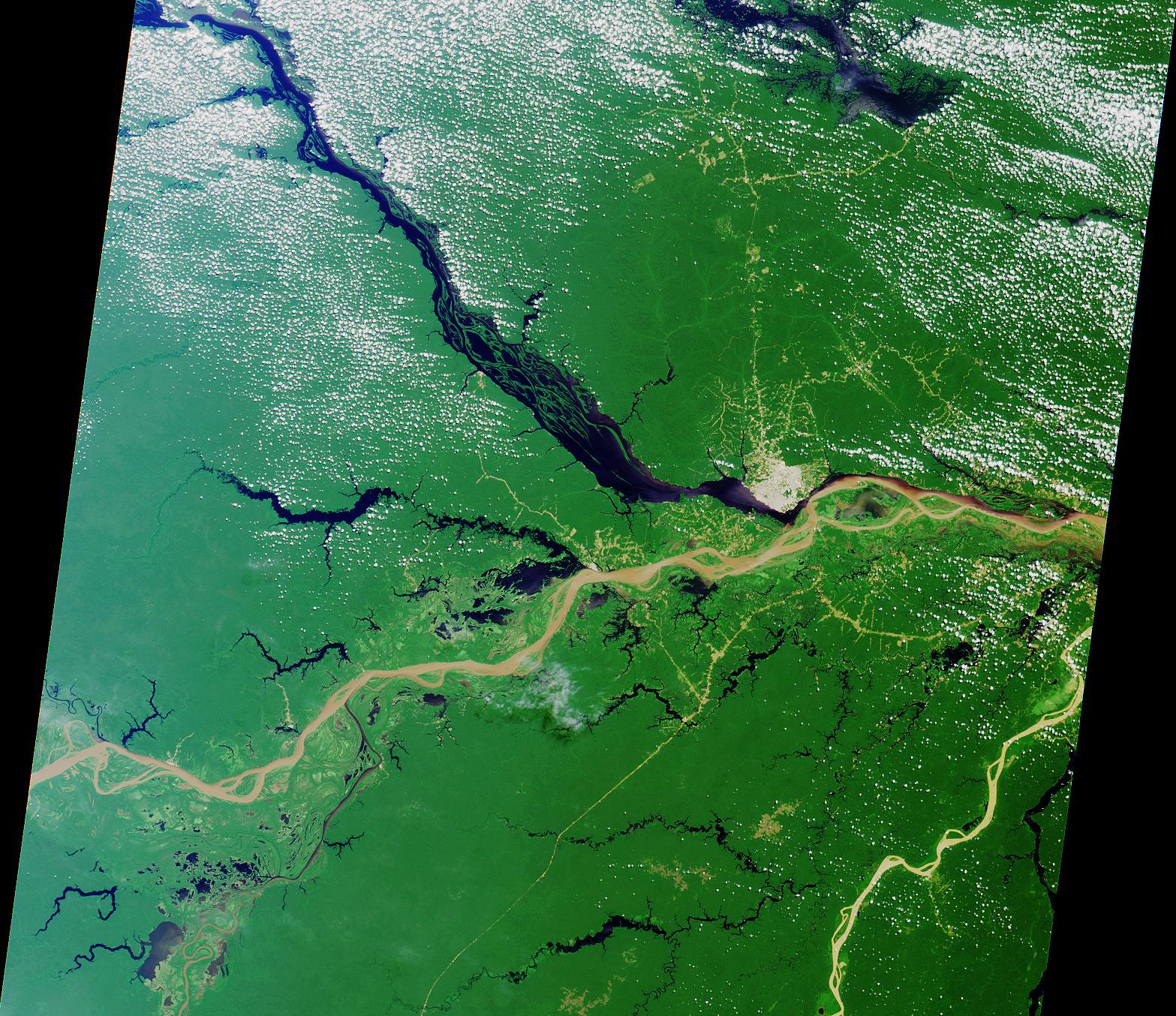
PIA02643:
-
Mouth of the Amazon
Full Resolution:
TIFF
(8.415 MB)
JPEG
(629 kB)
|
|
|
2001-01-24 |
Earth
|
Terra
|
MISR
|
1567x1354x3 |
|
-
PIA02642:
-
A Merging of Pale and Dark
Full Resolution:
TIFF
(6.731 MB)
JPEG
(556.3 kB)
|
|
|
2001-01-17 |
Earth
|
Terra
|
MISR
|
1595x1000x3 |
|
-
PIA02641:
-
Winter Snowfall Turns an Emerald White
Full Resolution:
TIFF
(4.808 MB)
JPEG
(359.7 kB)
|
|
|
2001-01-10 |
Earth
|
Terra
|
MISR
|
1149x1046x3 |

|
-
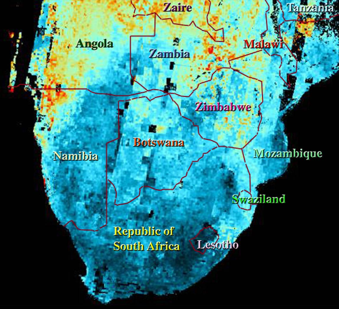
PIA02640:
-
Airborne Particulates over Southern Africa
Full Resolution:
TIFF
(3.089 MB)
JPEG
(182.1 kB)
|
|
|
2001-01-03 |
Earth
|
Terra
|
MISR
|
1476x1681x3 |
|
-
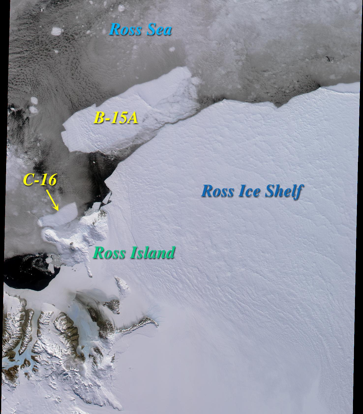
PIA02639:
-
Icebergs in the Ross Sea, Antarctica
Full Resolution:
TIFF
(5.694 MB)
JPEG
(303.6 kB)
|
|
|
2000-12-27 |
Earth
|
Terra
|
MISR
|
1488x1564x3 |
|
-
PIA02638:
-
MISR Sights the Bering Strait
Full Resolution:
TIFF
(7.383 MB)
JPEG
(295.8 kB)
|
|
|
2000-12-20 |
Earth
|
Terra
|
MISR
|
1955x1248x3 |
|
-
PIA02637:
-
Northern California and San Francisco Bay
Full Resolution:
TIFF
(6.924 MB)
JPEG
(437.3 kB)
|
|
|
2000-12-13 |
Earth
|
Terra
|
MISR
|
1600x1261x3 |
|
-
PIA02636:
-
Into the Eye of the Storm
Full Resolution:
TIFF
(5.091 MB)
JPEG
(173.1 kB)
|
|
|
2000-12-06 |
Earth
|
Terra
|
MISR
|
1011x1422x3 |
|
-
PIA02635:
-
Atmospheric Vortices near Guadalupe Island
Full Resolution:
TIFF
(4.254 MB)
JPEG
(272.2 kB)
|
|
|
2000-11-29 |
Earth
|
Terra
|
MISR
|
1591x1382x3 |

|
-
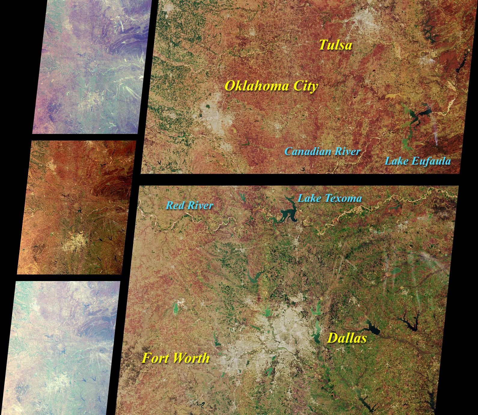
PIA02634:
-
MISR Scans the Texas-Oklahoma Border
Full Resolution:
TIFF
(6.837 MB)
JPEG
(568.3 kB)
|
|
|
2000-11-22 |
Earth
|
Terra
|
MISR
|
670x1005x3 |
|
-
PIA02633:
-
MISR Looks at Cape Cod
Full Resolution:
TIFF
(2.138 MB)
JPEG
(125.3 kB)
|
|
|
2000-11-15 |
Earth
|
Terra
|
MISR
|
1918x1424x3 |
|
-
PIA02632:
-
MISR Views Southern Florida
Full Resolution:
TIFF
(8.522 MB)
JPEG
(433.6 kB)
|
|
|
2000-11-08 |
Earth
|
Terra
|
MISR
|
1606x1293x3 |
|
-
PIA02631:
-
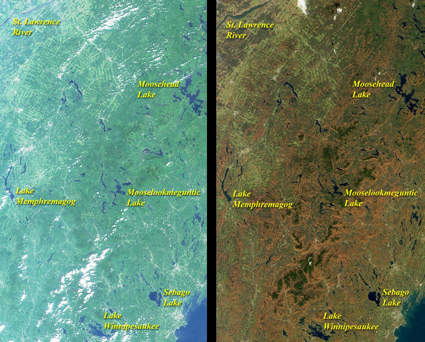
Summer Turns to Autumn in New England
Full Resolution:
TIFF
(7.373 MB)
JPEG
(580.9 kB)
|
|
|
2000-11-03 |
Earth
|
Terra
|
MISR
|
1256x1097x3 |
|
-
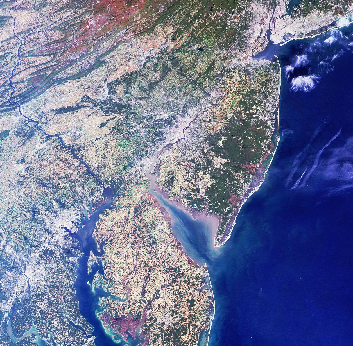
PIA02630:
-
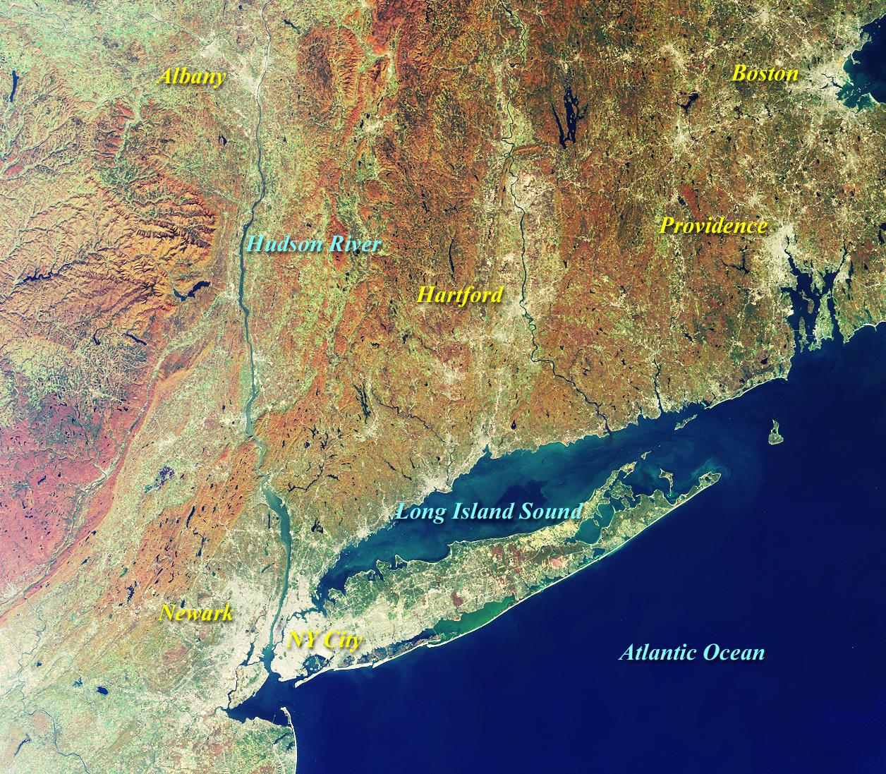
MISR Views New York and Southern New England
Full Resolution:
TIFF
(4.524 MB)
JPEG
(430.3 kB)
|
|
|
2000-10-25 |
Earth
|
Terra
|
MISR
|
2094x1092x3 |
|
-
PIA02629:
-
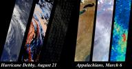
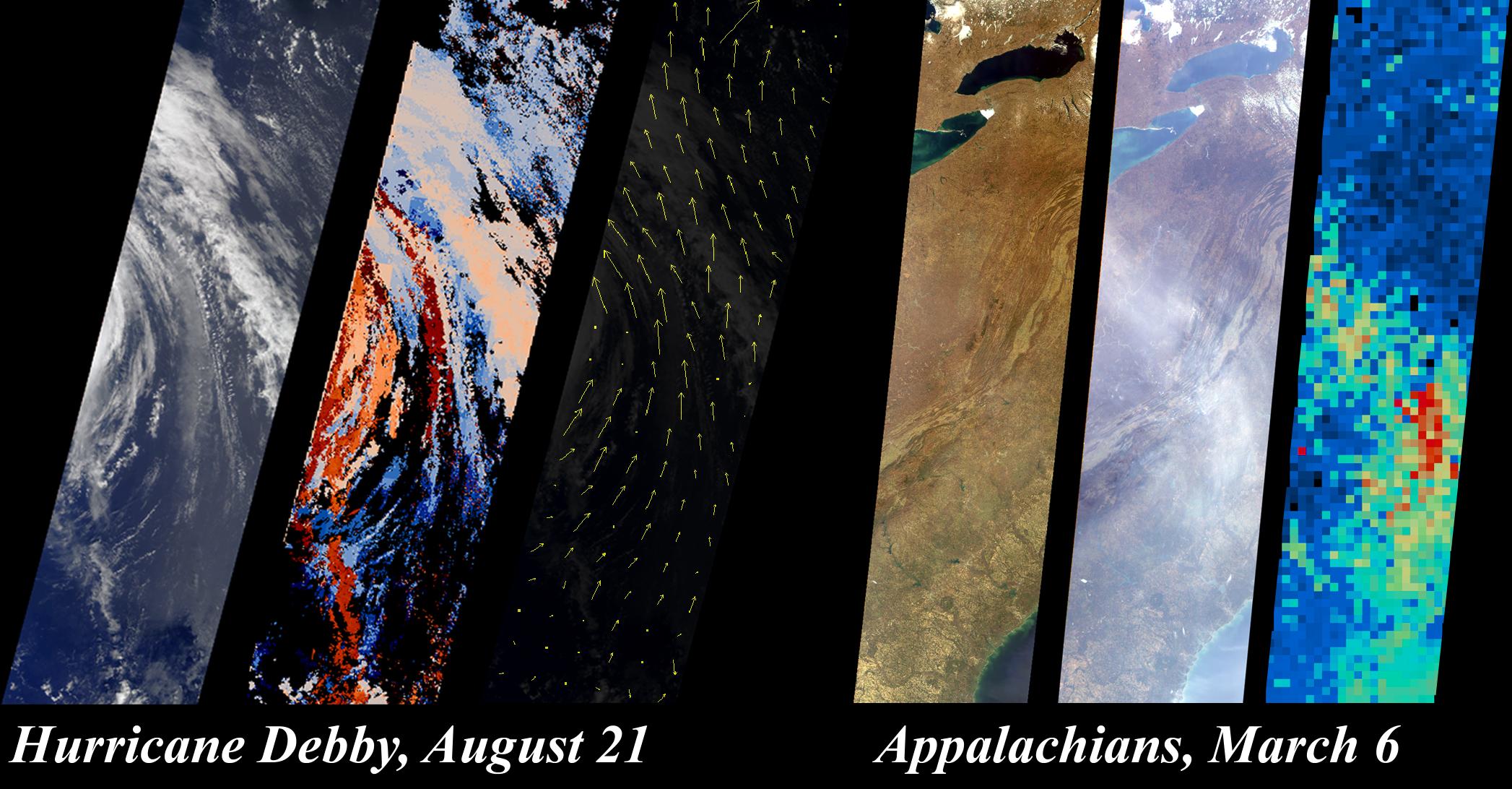
Hurricane Debby and the Appalachians Highlight New MISR Data Products
Full Resolution:
TIFF
(4.867 MB)
JPEG
(327.6 kB)
|
|
|
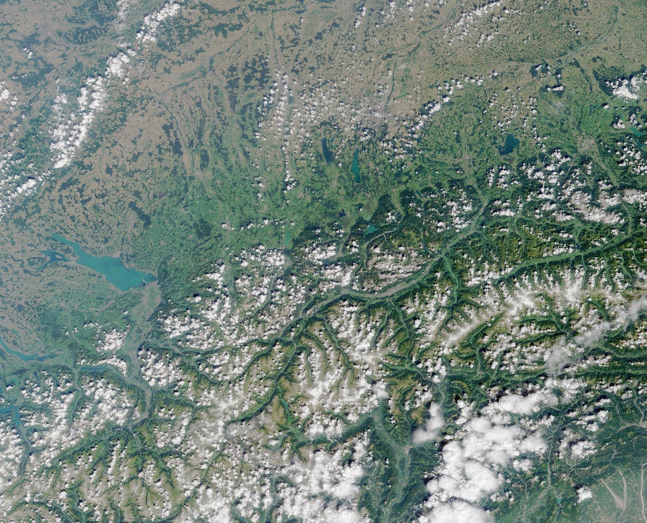
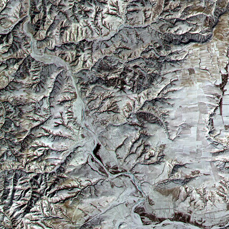
2000-10-20 |
Earth
|
Terra
|
ASTER
|
2138x2738x3 |
|
-
PIA02667:
-
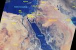
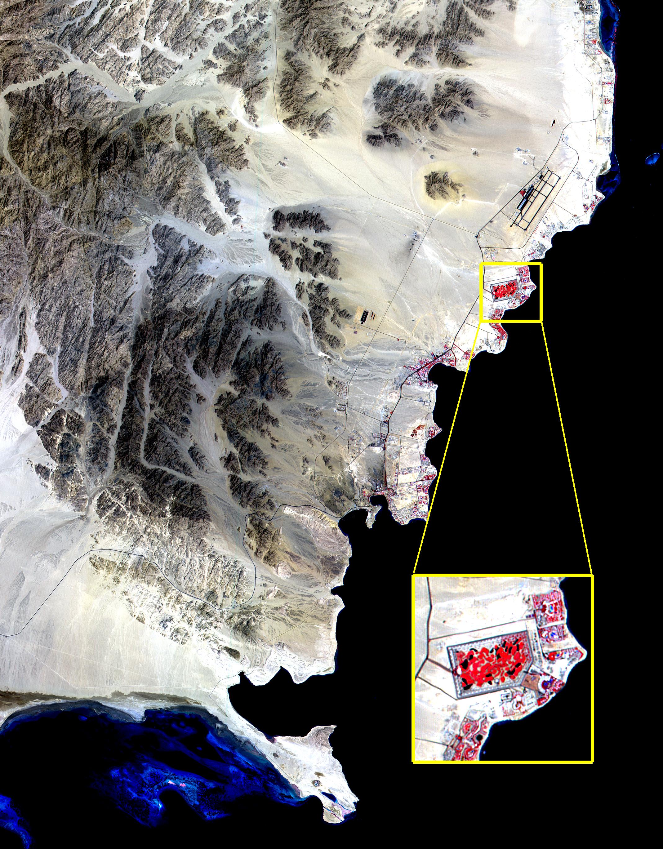
ASTER View of Sharm El Sheik, Egypt
Full Resolution:
TIFF
(10.1 MB)
JPEG
(1.06 MB)
|
|
|
2000-10-18 |
Earth
|
Terra
|
MISR
|
1728x1043x3 |
|
-
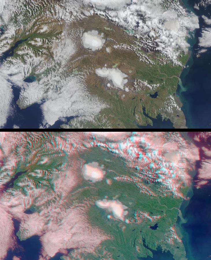
PIA02628:
-
MISR Sees the Sierra Nevadas in Stereo
Full Resolution:
TIFF
(5.638 MB)
JPEG
(299.3 kB)
|
|
|
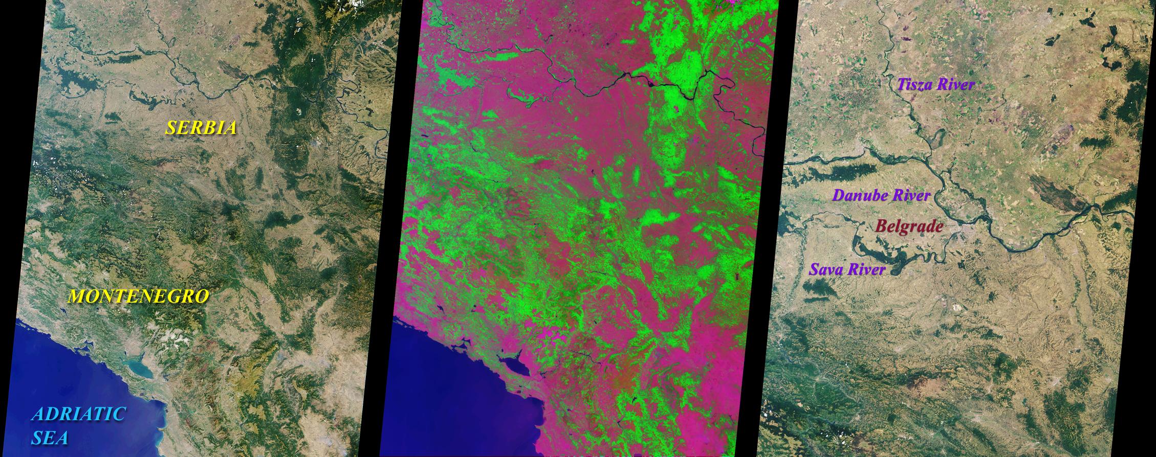
2000-10-11 |
Earth
|
Terra
|
MISR
|
2259x894x3 |
|
-
PIA02627:
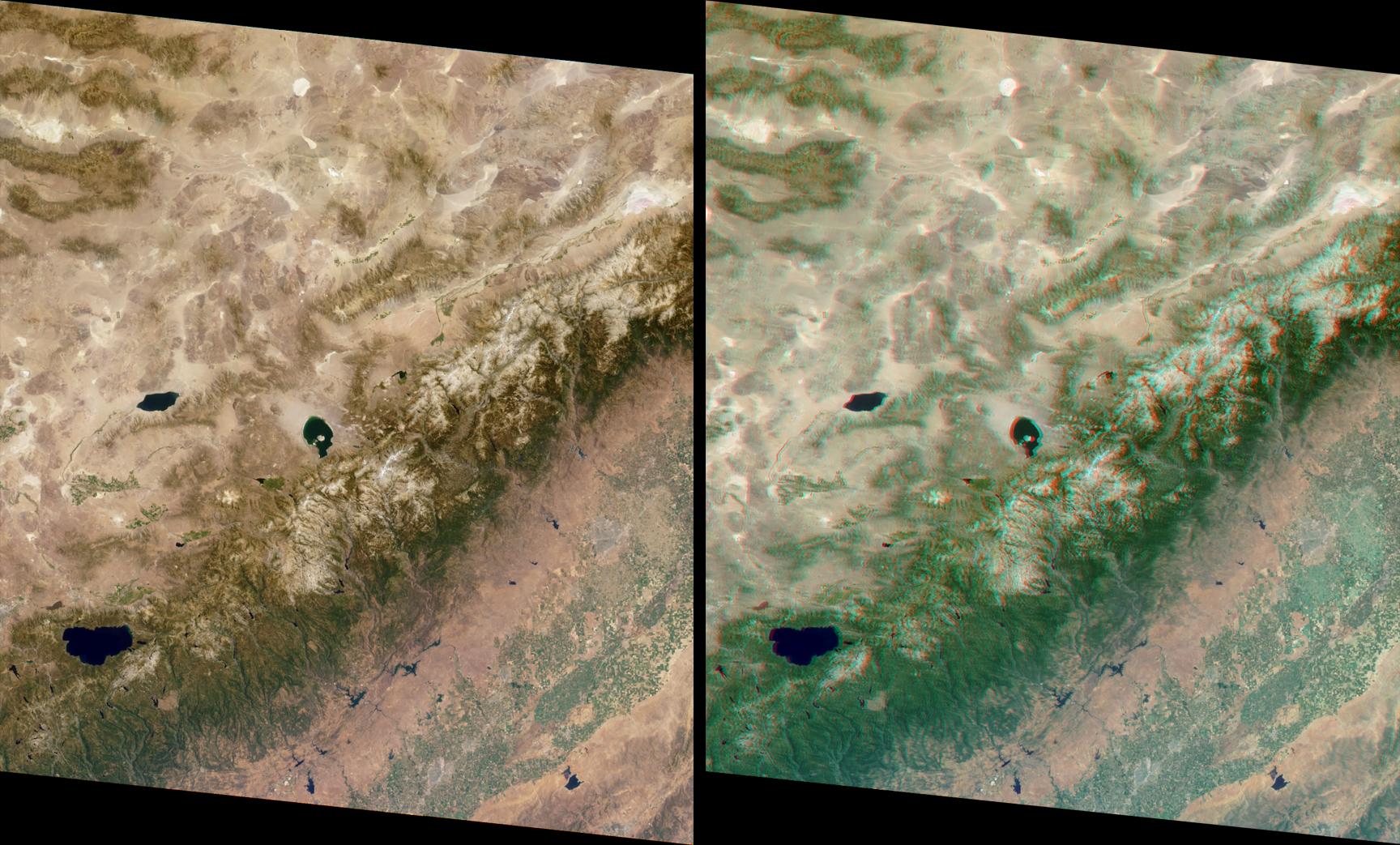
-
MISR Looks at Yugoslavia
Full Resolution:
TIFF
(6.538 MB)
JPEG
(488.8 kB)
|
|
|
2000-10-06 |
Earth
|
Terra
|
ASTER
|
1211x911x3 |
|
-
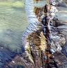
PIA02662:
-
ASTER Waves
Full Resolution:
TIFF
(2.22 MB)
JPEG
(370.5 kB)
|
|
|
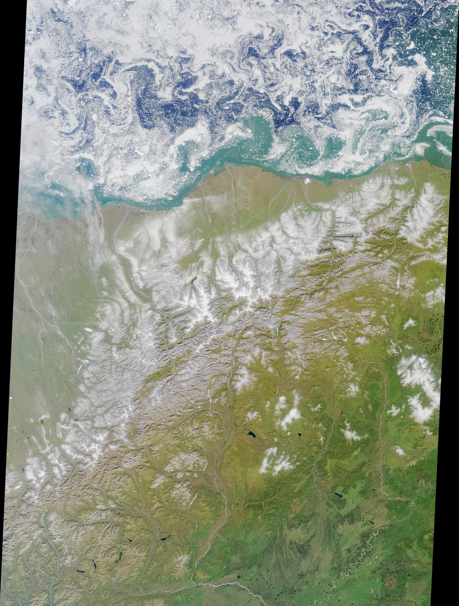
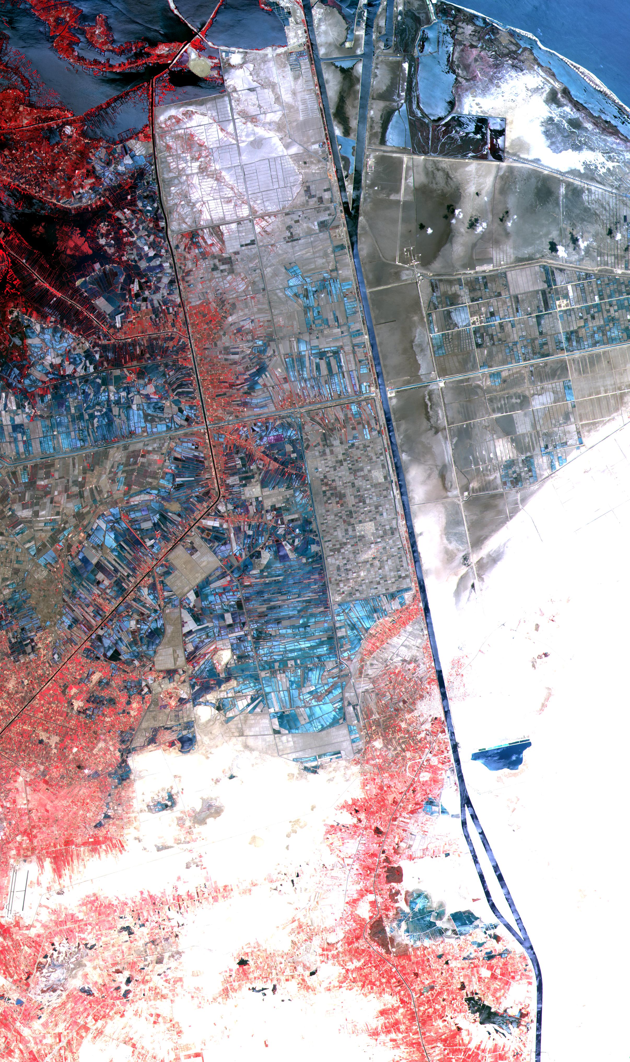
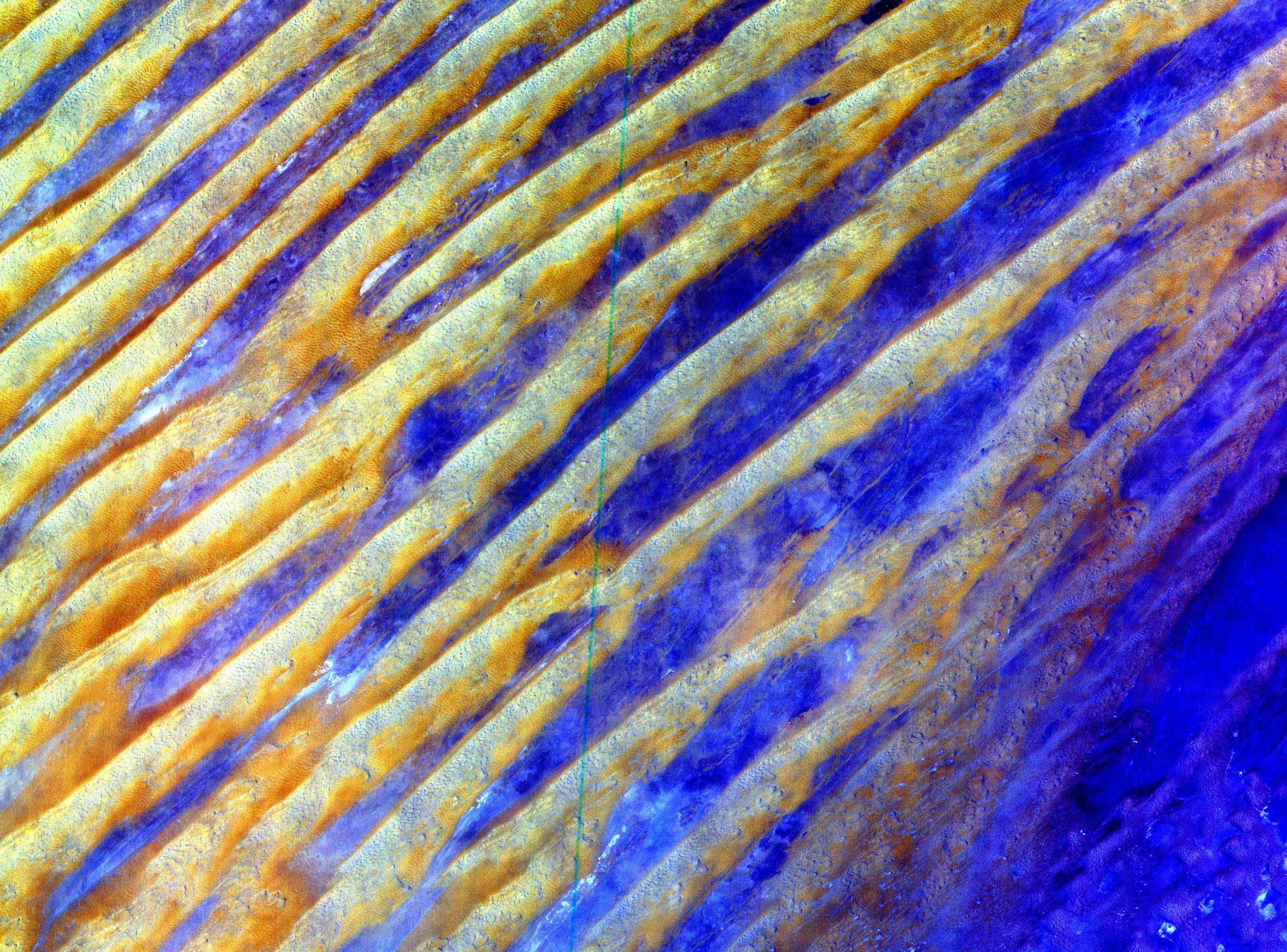
2000-10-06 |
Earth
|
Terra
|
ASTER
|
2412x4065x3 |
|
-
PIA02661:
-
ASTER Suez Canal
Full Resolution:
TIFF
(19.92 MB)
JPEG
(1.805 MB)
|
|
|
2000-10-06 |
Earth
|
Terra
|
ASTER
|
1528x1322x3 |
|
-
PIA02660:
-
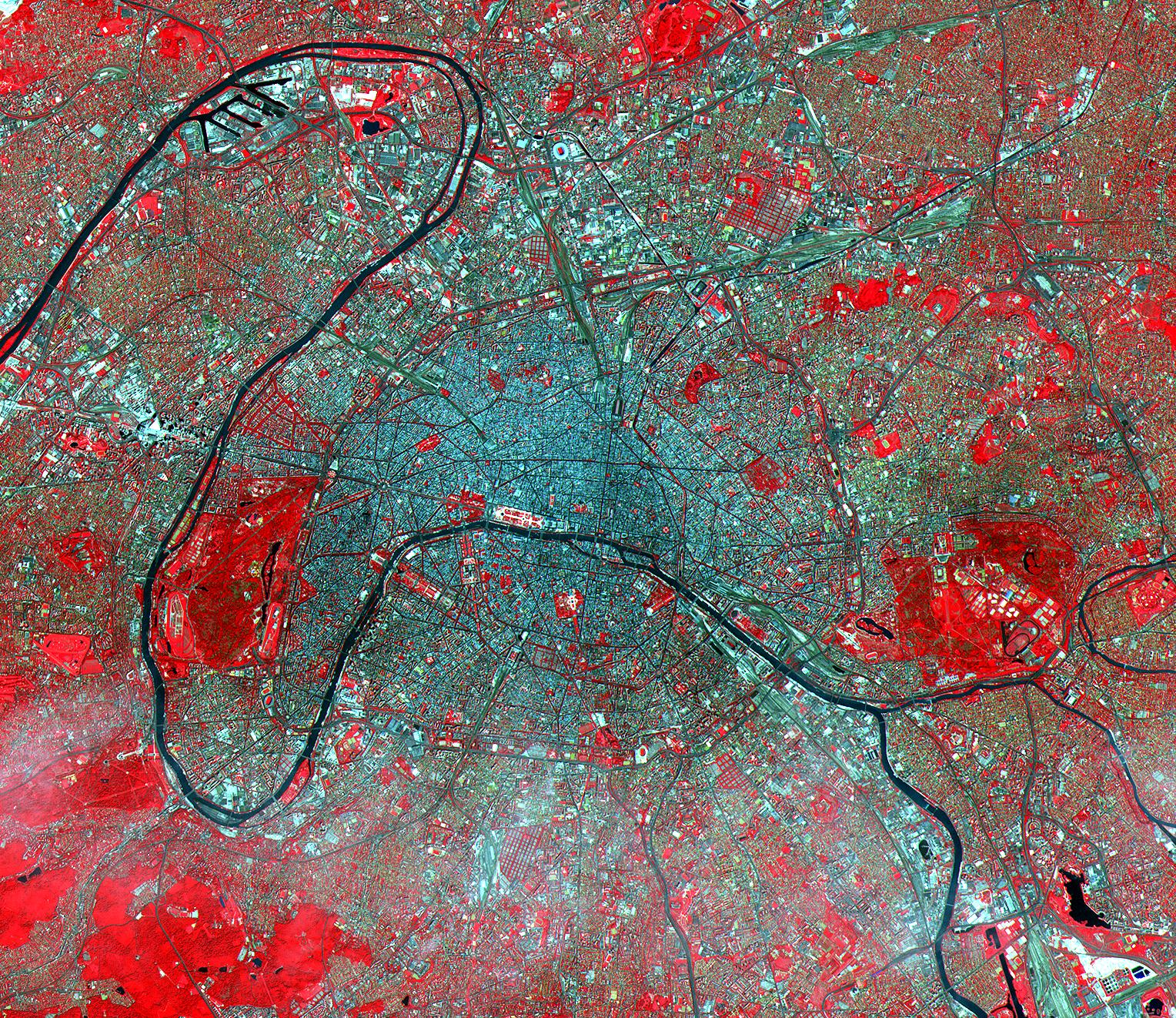
ASTER Paris
Full Resolution:
TIFF
(7.75 MB)
JPEG
(1.034 MB)
|
|
|
2000-10-06 |
Earth
|
Terra
|
ASTER
|
1595x1925x3 |
|
-
PIA02659:
-
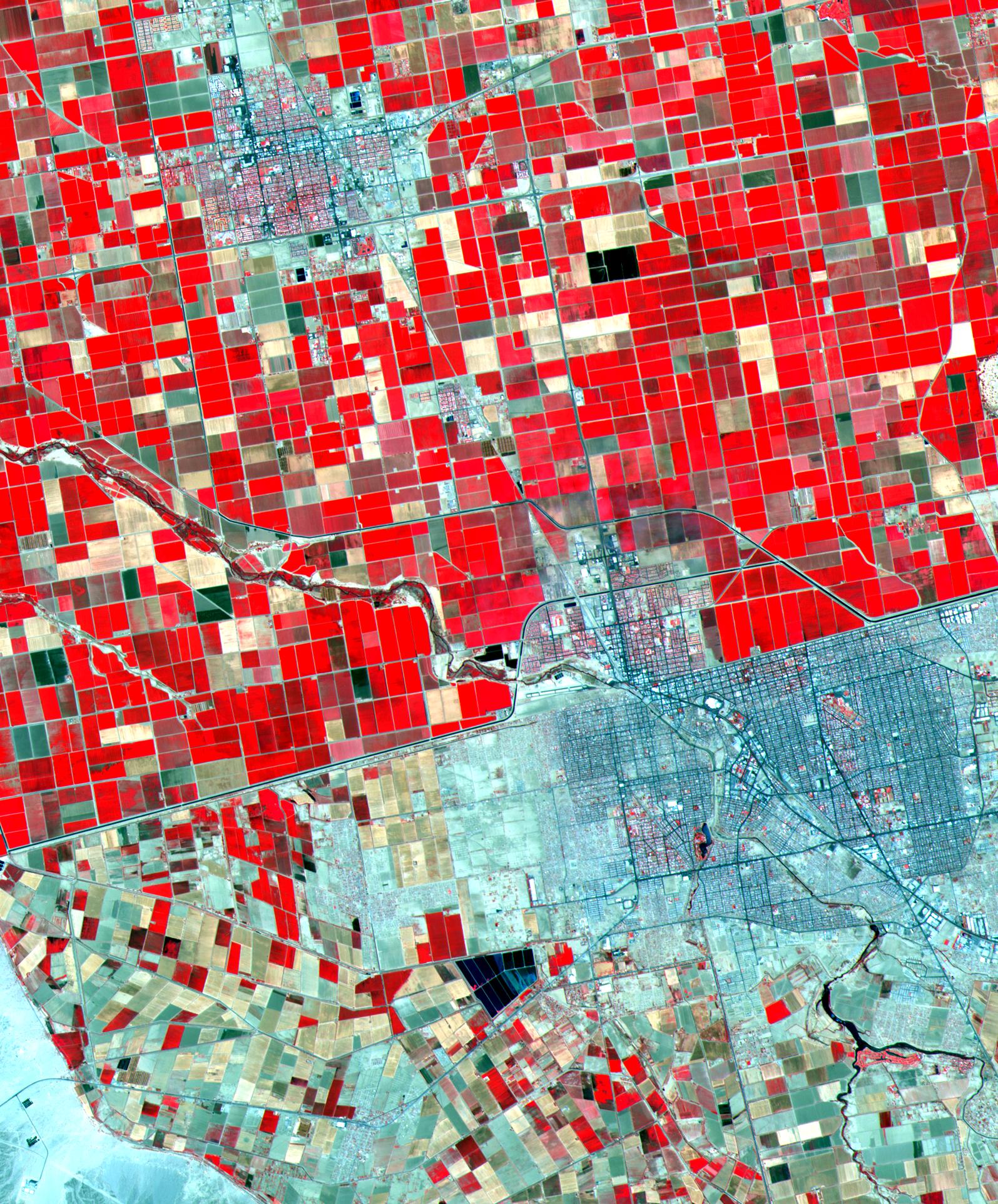
ASTER Mexicali
Full Resolution:
TIFF
(8.303 MB)
JPEG
(748.7 kB)
|
|
|
2000-10-06 |
Earth
|
Terra
|
ASTER
|
2645x1050x3 |

|
-
PIA02658:
-
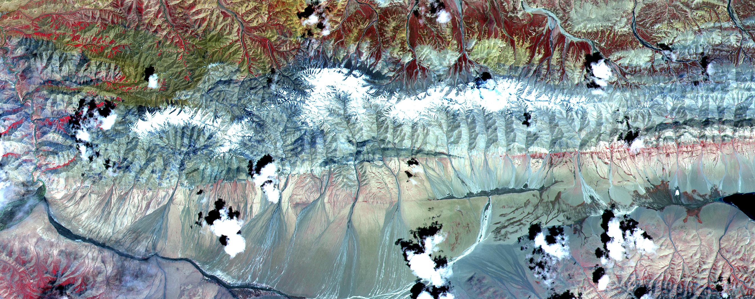
ASTER Tibet
Full Resolution:
TIFF
(8.443 MB)
JPEG
(746.1 kB)
|
|
|
2000-10-06 |
Earth
|
Terra
|
ASTER
|
2280x3887x3 |
|
-
PIA02657:
-
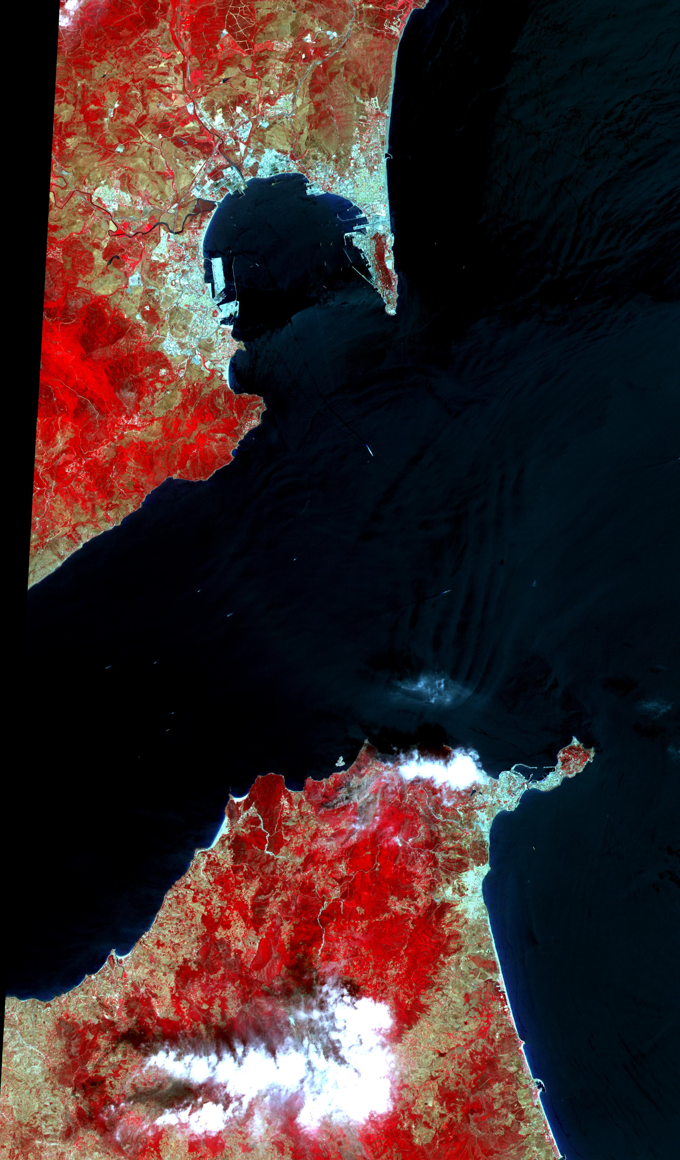
ASTER Gibraltar
Full Resolution:
TIFF
(15.58 MB)
JPEG
(1.026 MB)
|
|
|
2000-10-06 |
Earth
|
Terra
|
ASTER
|
2470x1828x3 |
|
-
PIA02656:
-
ASTER Dunes
Full Resolution:
TIFF
(7.112 MB)
JPEG
(1.33 MB)
|
|
|
2000-10-06 |
Earth
|
Terra
|
ASTER
|
930x911x3 |
|
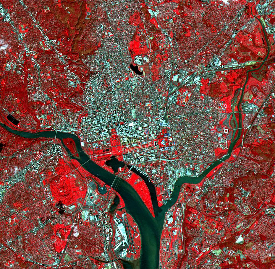
-
PIA02655:
-
ASTER Washington, D.C.
Full Resolution:
TIFF
(3.209 MB)
JPEG
(342.5 kB)
|
|
|
2000-10-06 |
Earth
|
Terra
|
ASTER
|
4980x4200x3 |
|
-
PIA02654:
-
ASTER Andes
Full Resolution:
TIFF
(47.55 MB)
JPEG
(4.841 MB)
|
|
|
2000-10-04 |
Earth
|
Terra
|
MISR
|
1149x750x3 |
|
-
PIA02626:
-
MISR Views the Middle East
Full Resolution:
TIFF
(2.67 MB)
JPEG
(145.1 kB)
|
|
|
2000-09-27 |
Earth
|
Terra
|
MISR
|
1148x819x3 |
|
-
PIA02625:
-
MISR Stereo Imaging Distinguishes Smoke from Cloud
Full Resolution:
TIFF
(2.36 MB)
JPEG
(142.6 kB)
|
|
|
2000-09-20 |
Earth
|
Terra
|
MISR
|
826x560x3 |

|
-
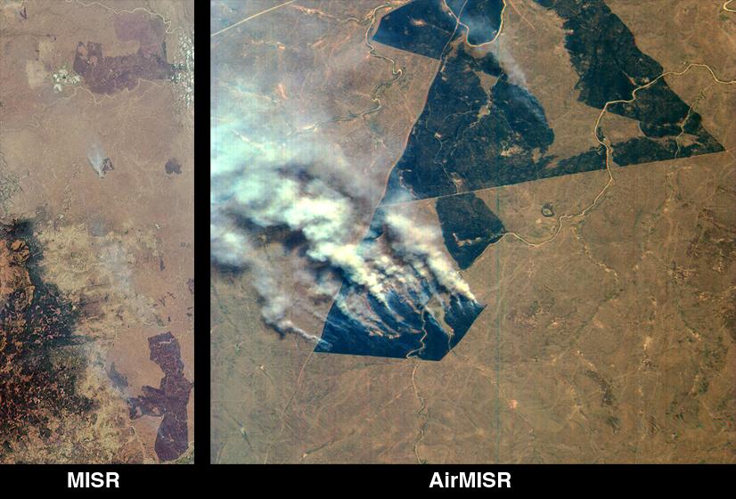
PIA02624:
-
MISR and AirMISR Simultaneously Observe African Grassland Fires
Full Resolution:
TIFF
(1.505 MB)
JPEG
(86.42 kB)
|
|
|
2000-09-13 |
Earth
|
Terra
|
MISR
|
500x549x3 |
|
-
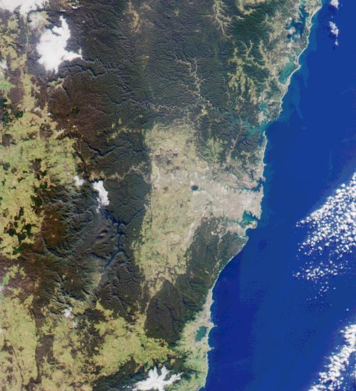
PIA02623:
-
MISR Looks at Sydney and the Southeastern Australia Coast
Full Resolution:
TIFF
(857.6 kB)
JPEG
(62.85 kB)
|
 Planetary Data System


