- Original Caption Released with Image:
-
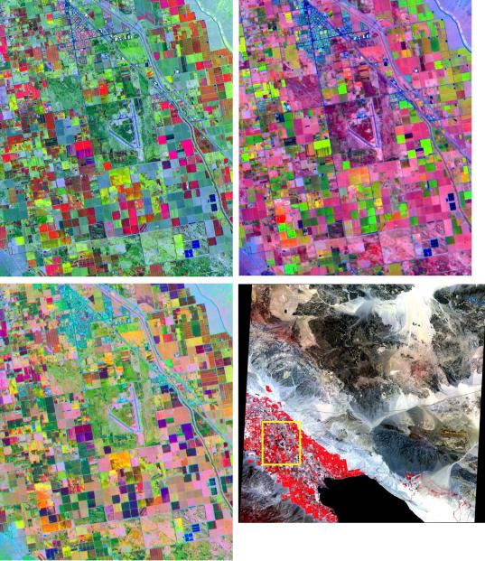
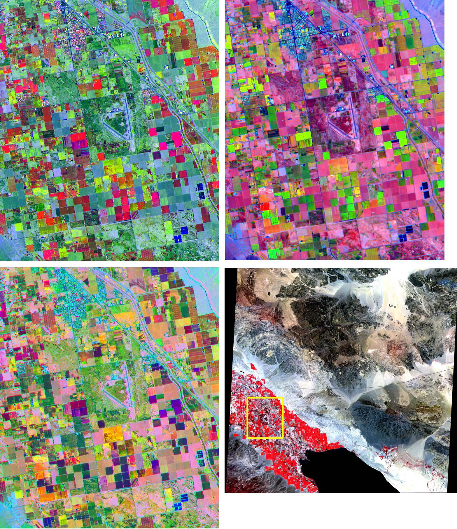
These band composites, acquired on June 4, 2000, cover a 11 by 13.5 km sub-scene in the Coachella Valley, CA. The area is shown by the yellow box on the full scene in the LOWER RIGHT corner, northwest of the Salton Sea. This is a major agricultural region of California, growing fruit and produce throughout the year. Different combinations of ASTER bands help identify the different crop types. UPPER LEFT: bands 3, 2, 1 as red, green, and blue (RGB); UPPER RIGHT: bands 4, 2, 1 as RGB; LOWER LEFT: bands 4, 3, 2 as RGB. The image is centered at 33.6 degrees north latitude, 116.1 degrees west longitude. The U.S. science team is located at NASA's Jet Propulsion Laboratory, Pasadena, Calif. The Terra mission is part of NASA's Science Mission Directorate.
- Image Credit:
-
NASA/GSFC/METI/ERSDAC/JAROS, and U.S./Japan ASTER Science Team
Image Addition Date: -
2001-10-22
|